







PINZGA HATSCHA Stage 13 (from Saalbach to Leogang)
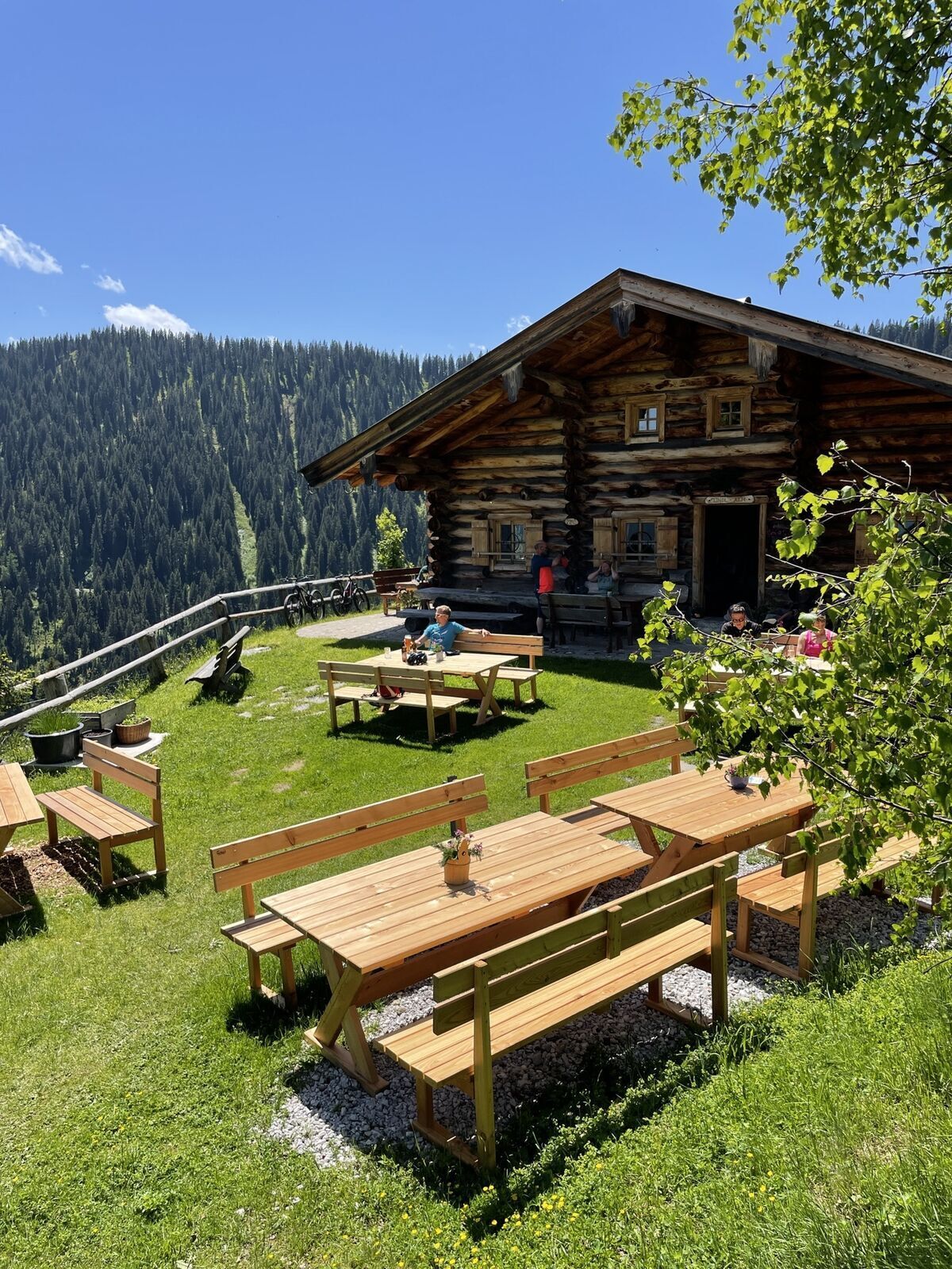
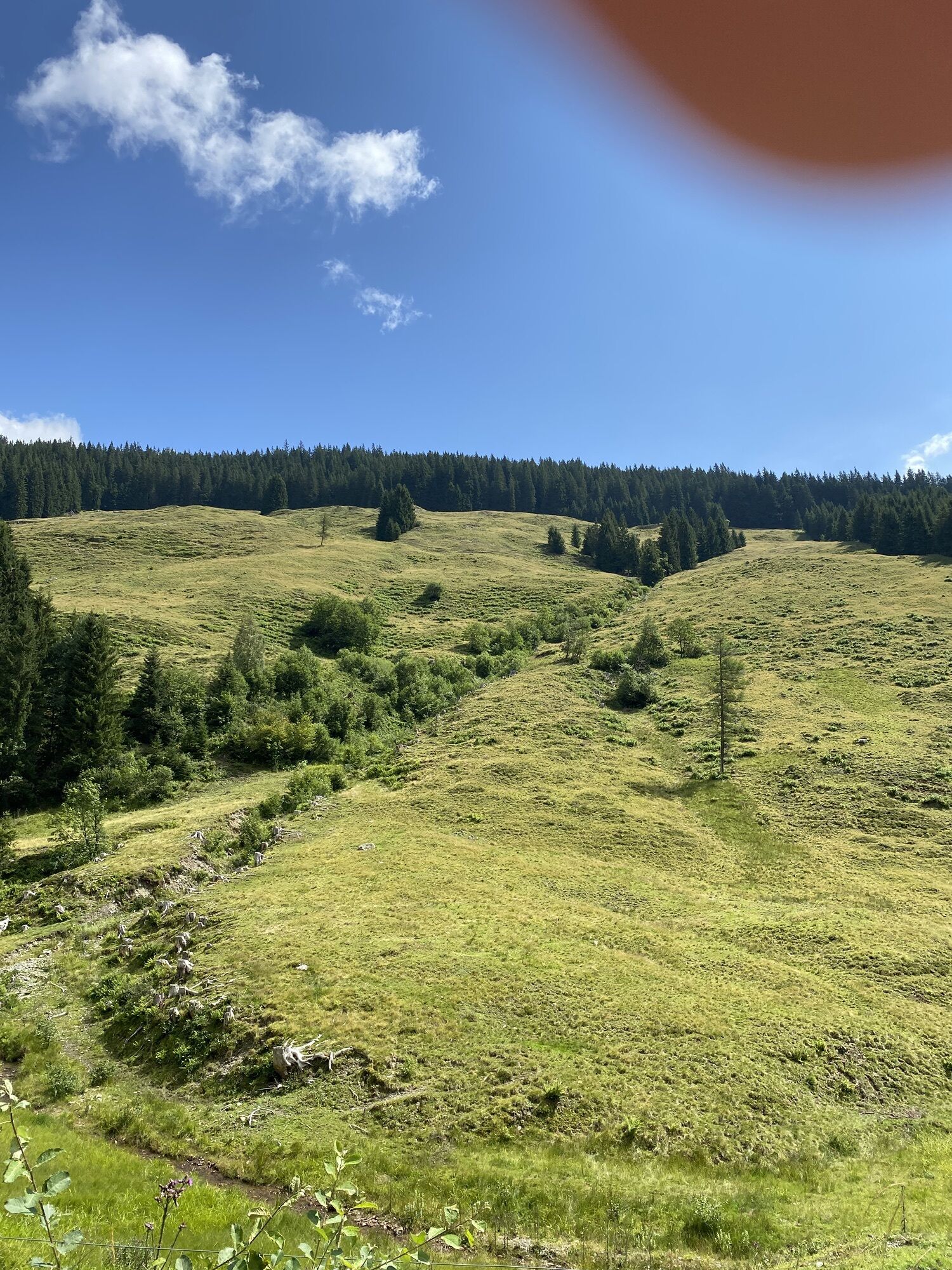
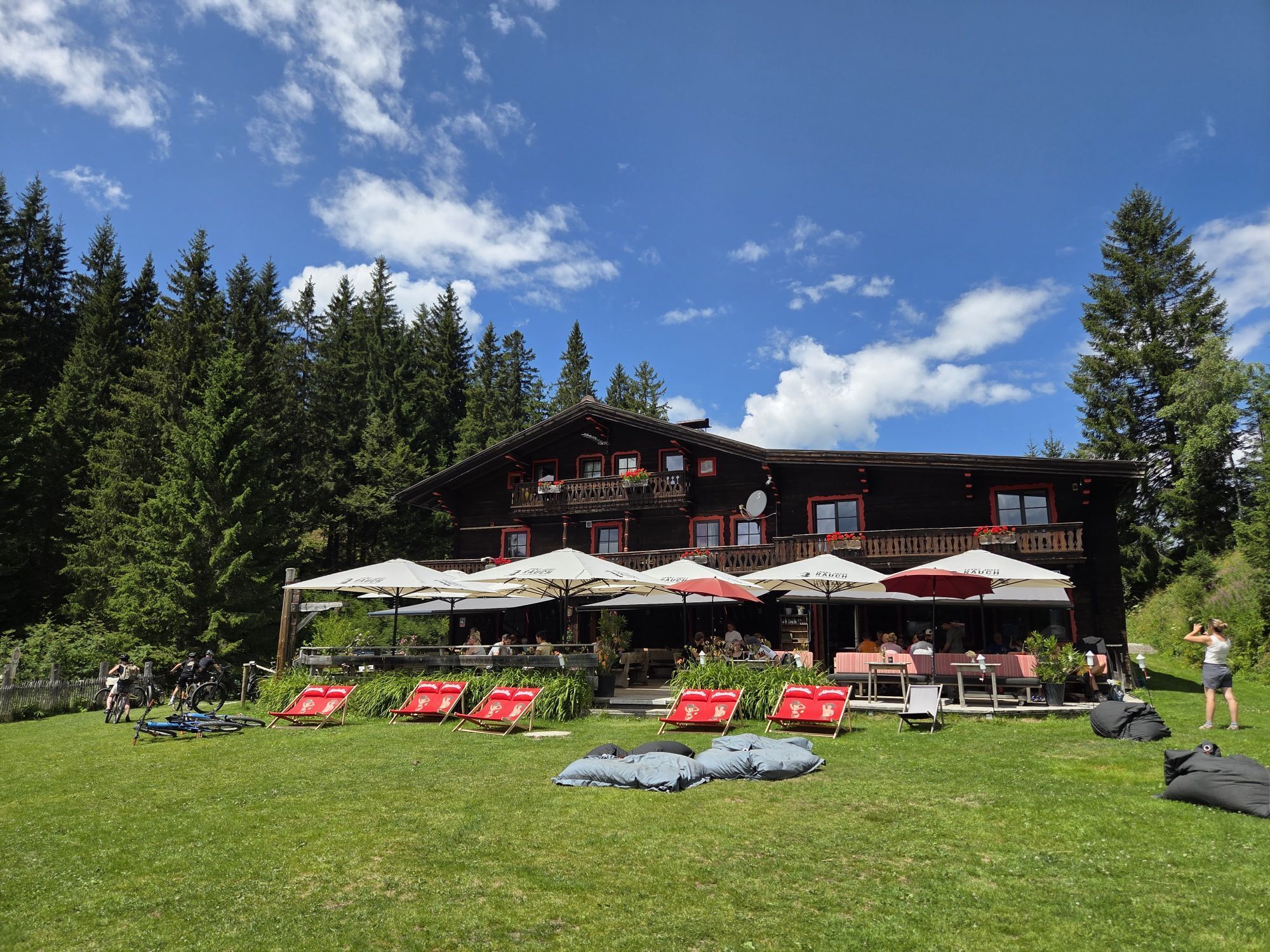
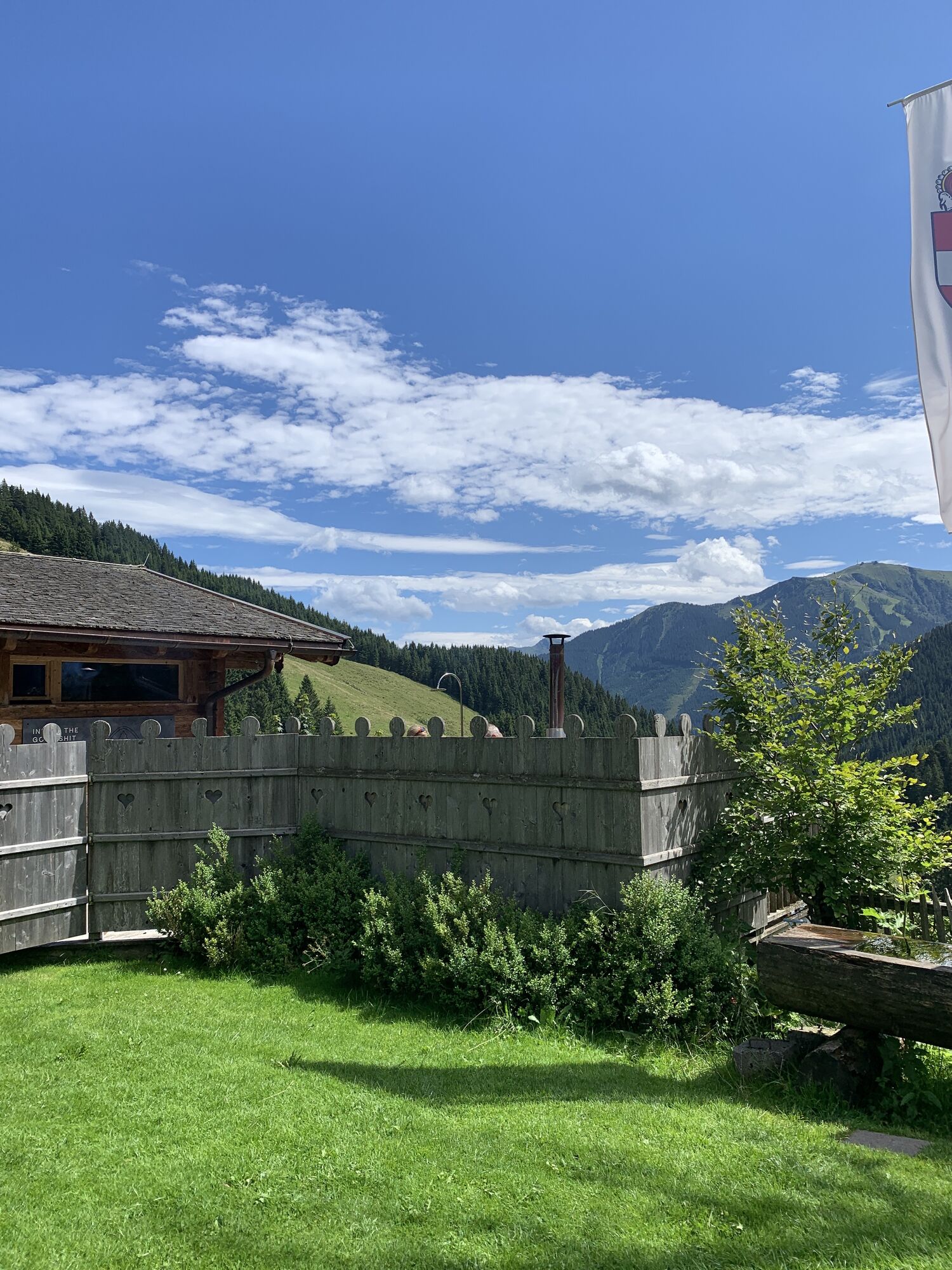
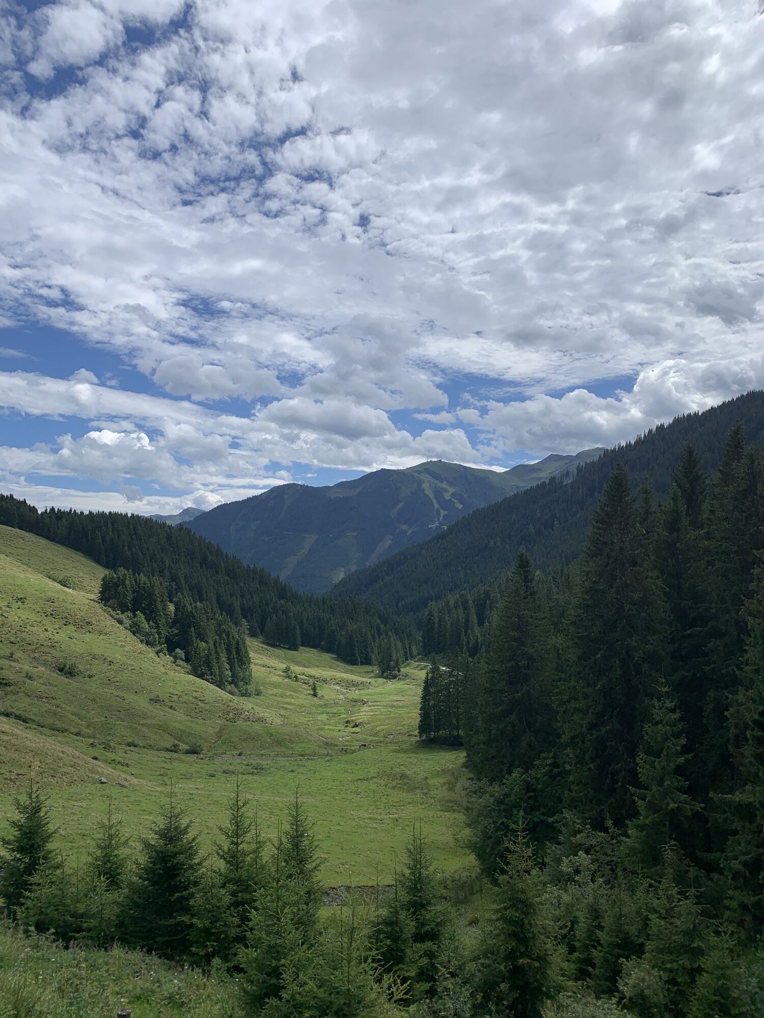
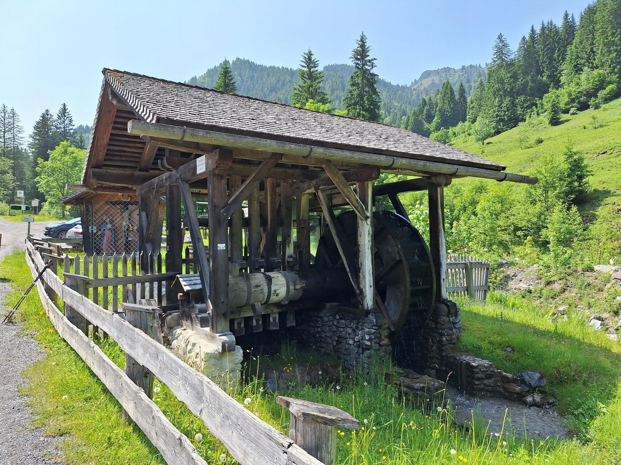
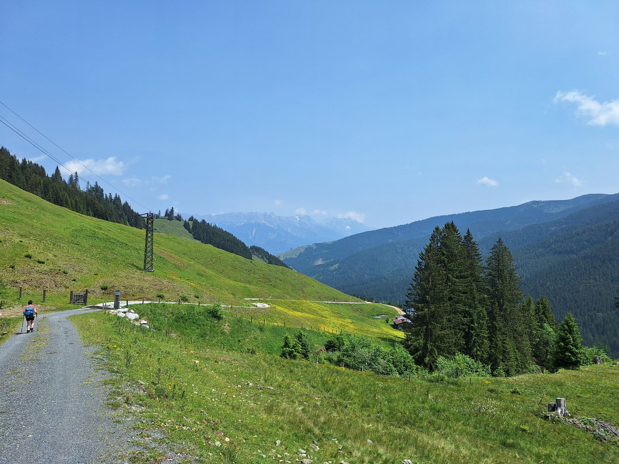
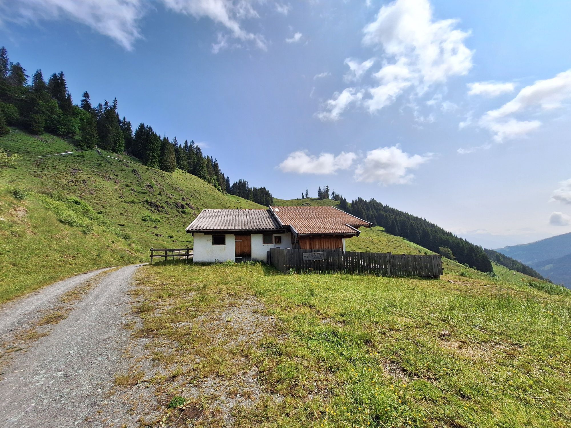
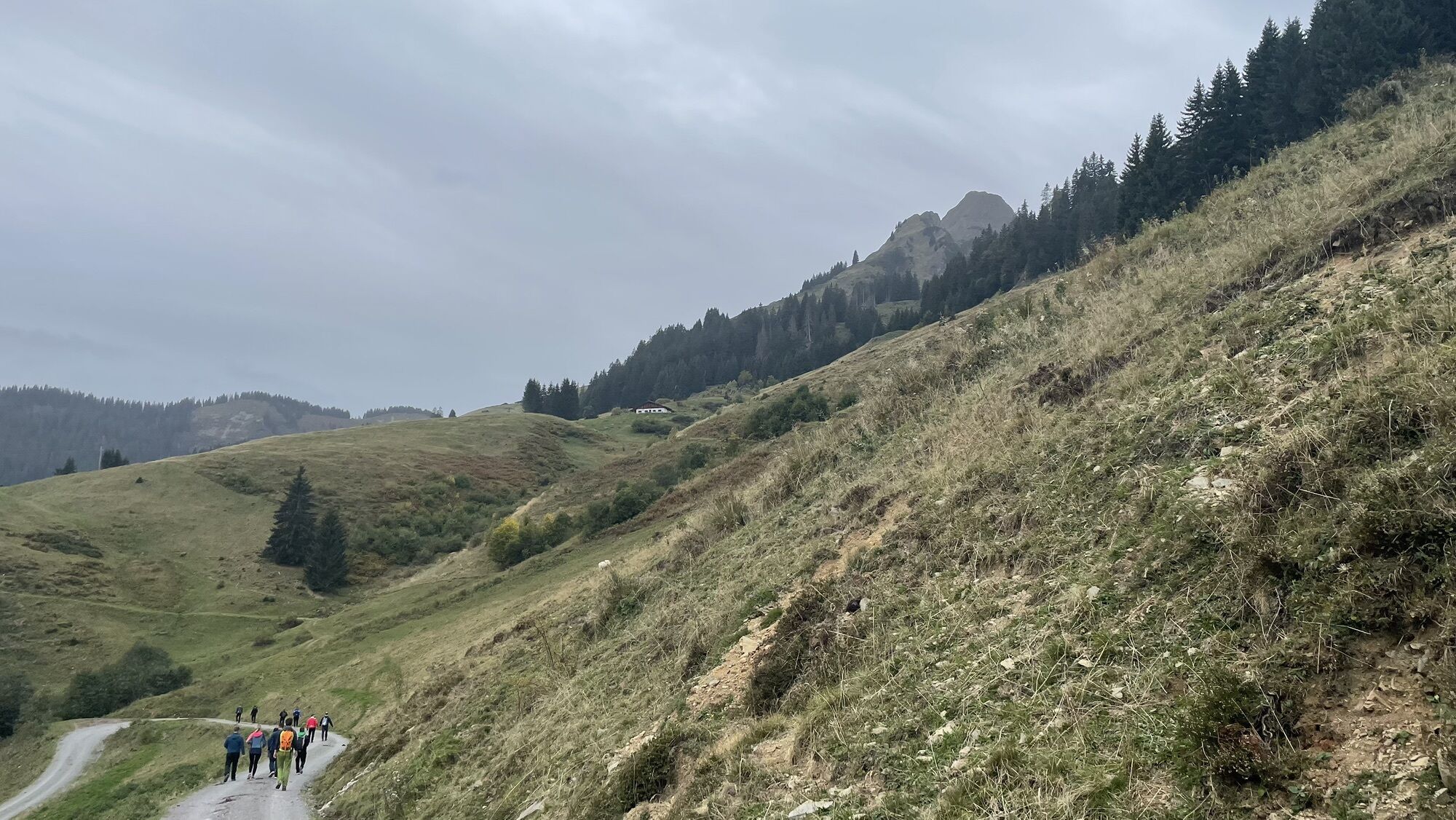
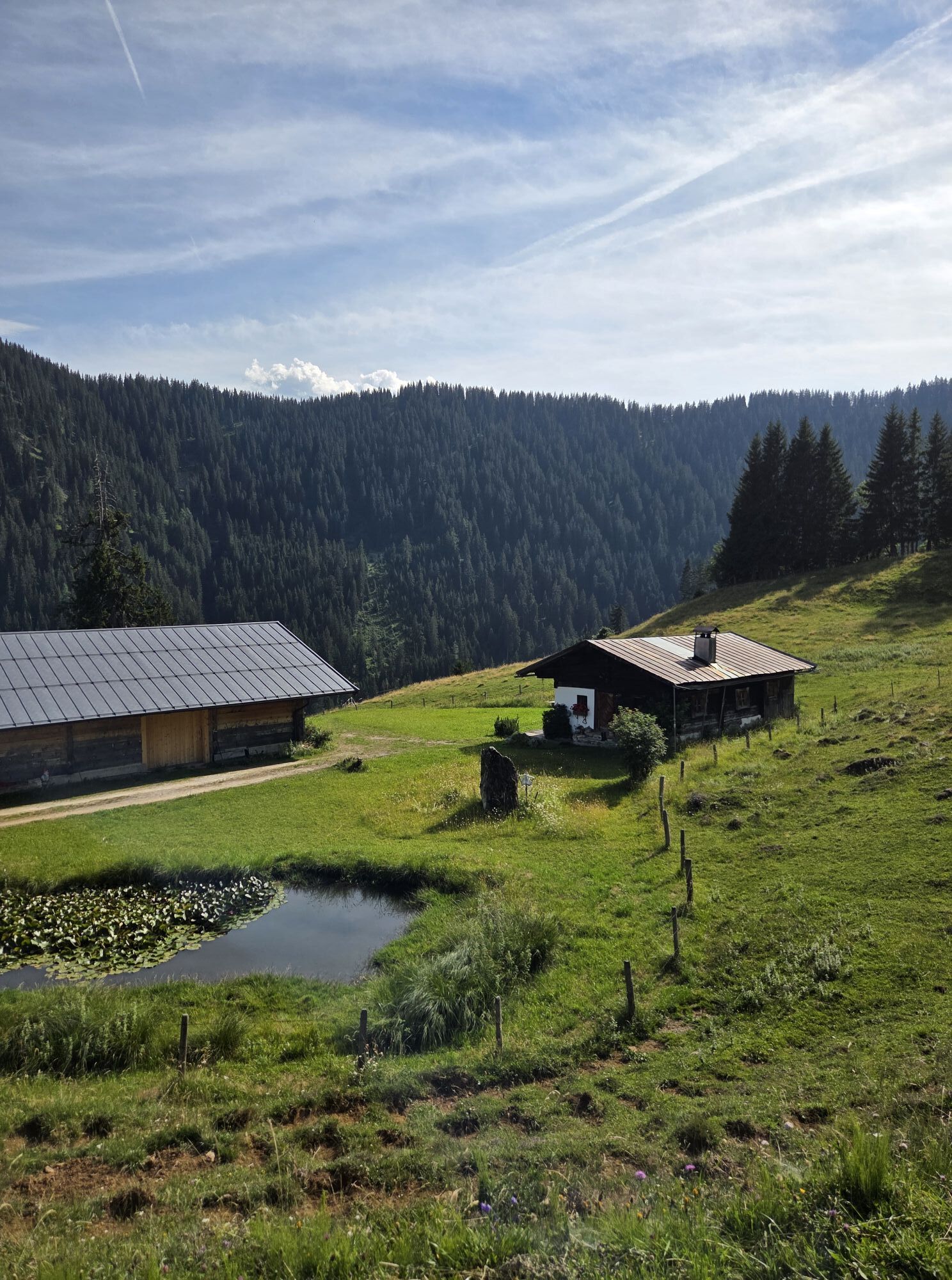
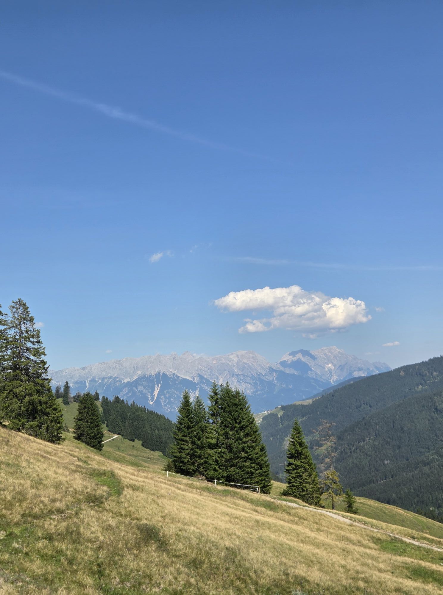
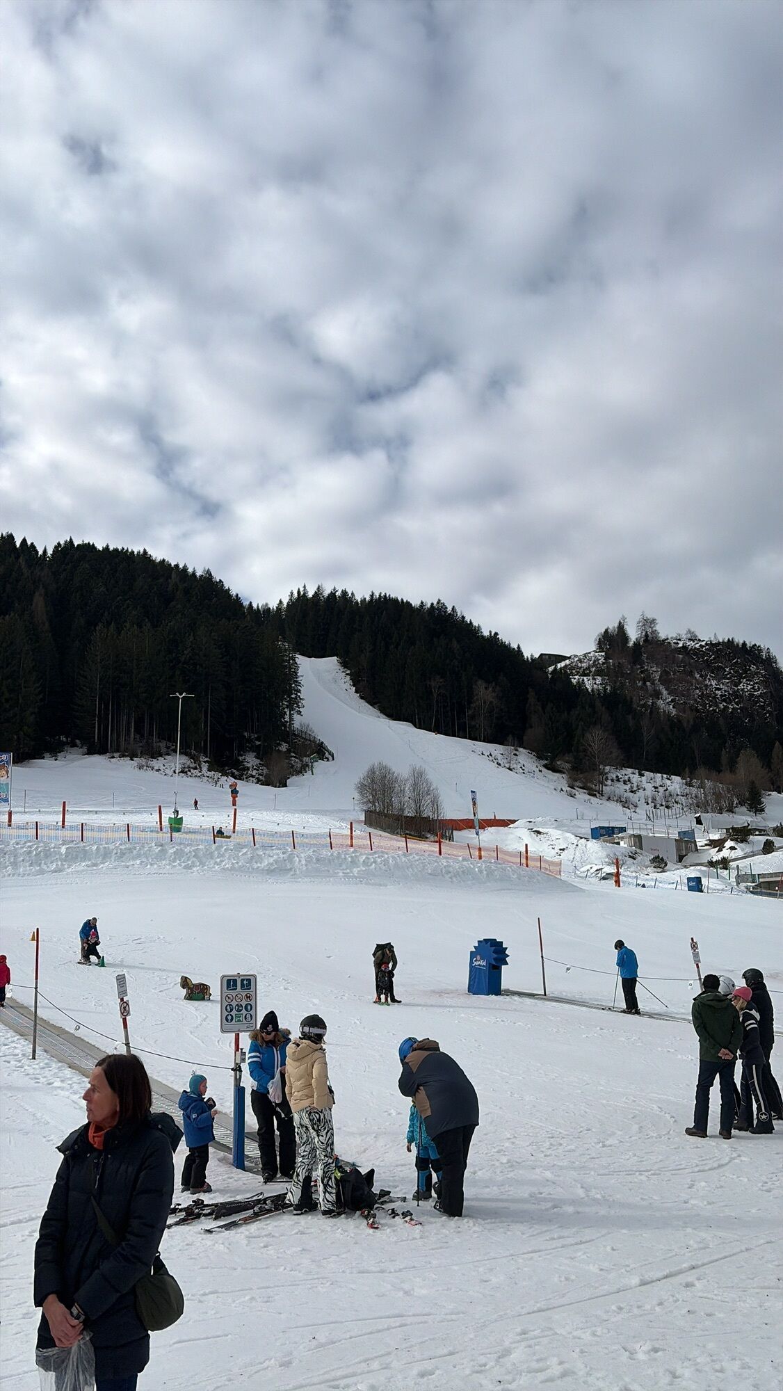
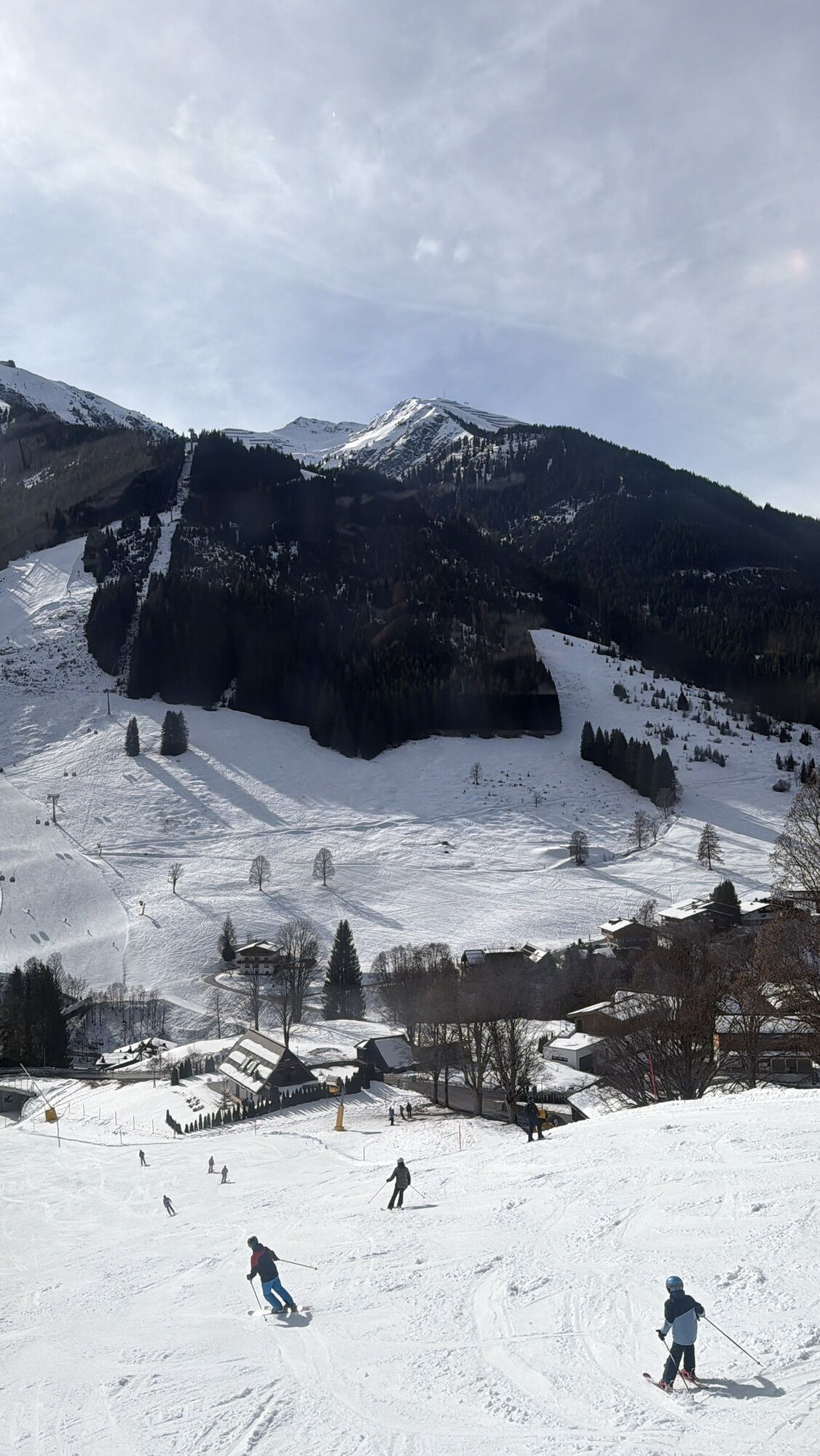
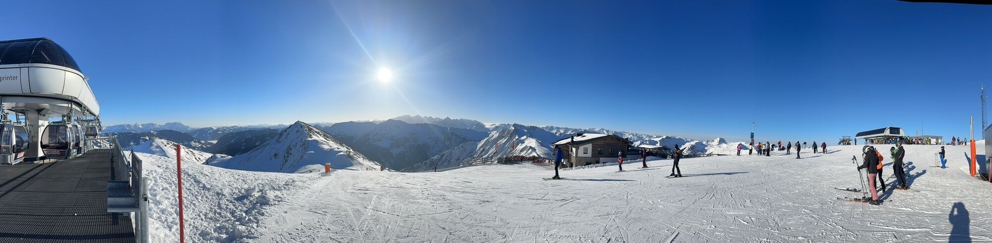
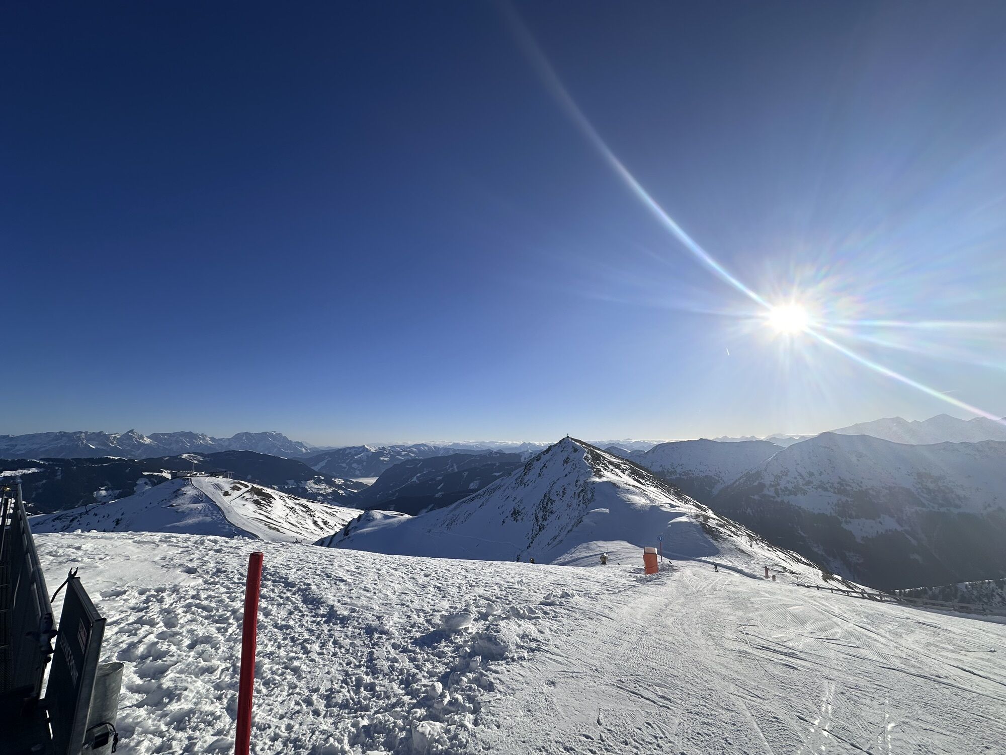
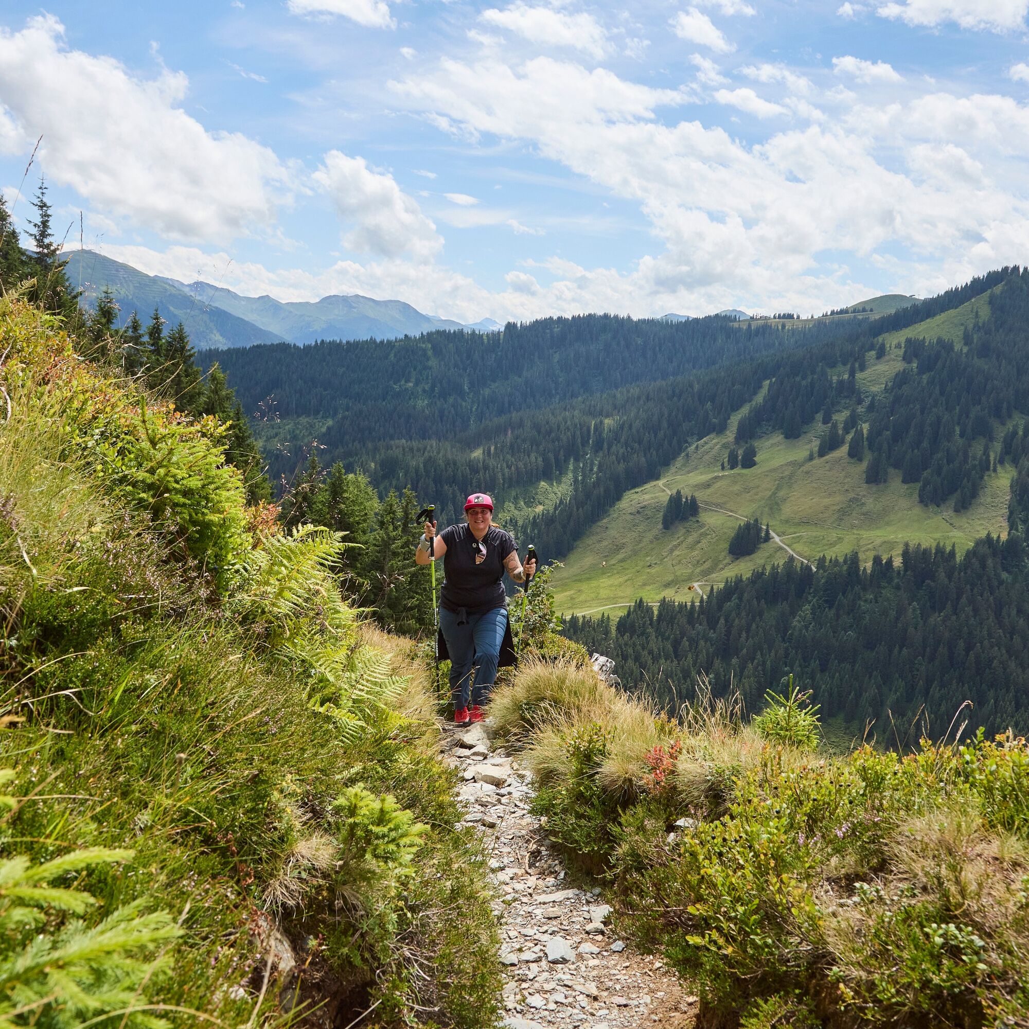
From Saalbach, follow the varied Pascherweg uphill trail until you reach the Spielberghaus. There you turn right and hike past the Wirtsalm on the Tyrolean side up to the Spielbergtörl. Here you are back...
Did you know? Saalbach Hinterglemm has been awarded the ‘Hiking Seal of Quality’ by the organisation ‘Austria’s Hiking Villages’. This certificate requires a destination to meet strict quality standards in its hiking facilities and ensures that you’ll have a great time in the mountains.


Sturdy, ankle-high shoes, hiking poles, headgear, sun protection, rain protection, water, necessary medication, first aid kit, detailed hiking map.
Planning and preparation: Plan each intended mountain tour in detail beforehand. Hiking maps and guides as well as information from alpine associations and local experts such as mountain guides and hut keepers can be helpful.
Equipment: On the mountain you will need appropriate equipment and clothing, especially sturdy, high shoes with a good grip sole. Weather and cold protection are essential, as the weather can often change unexpectedly.
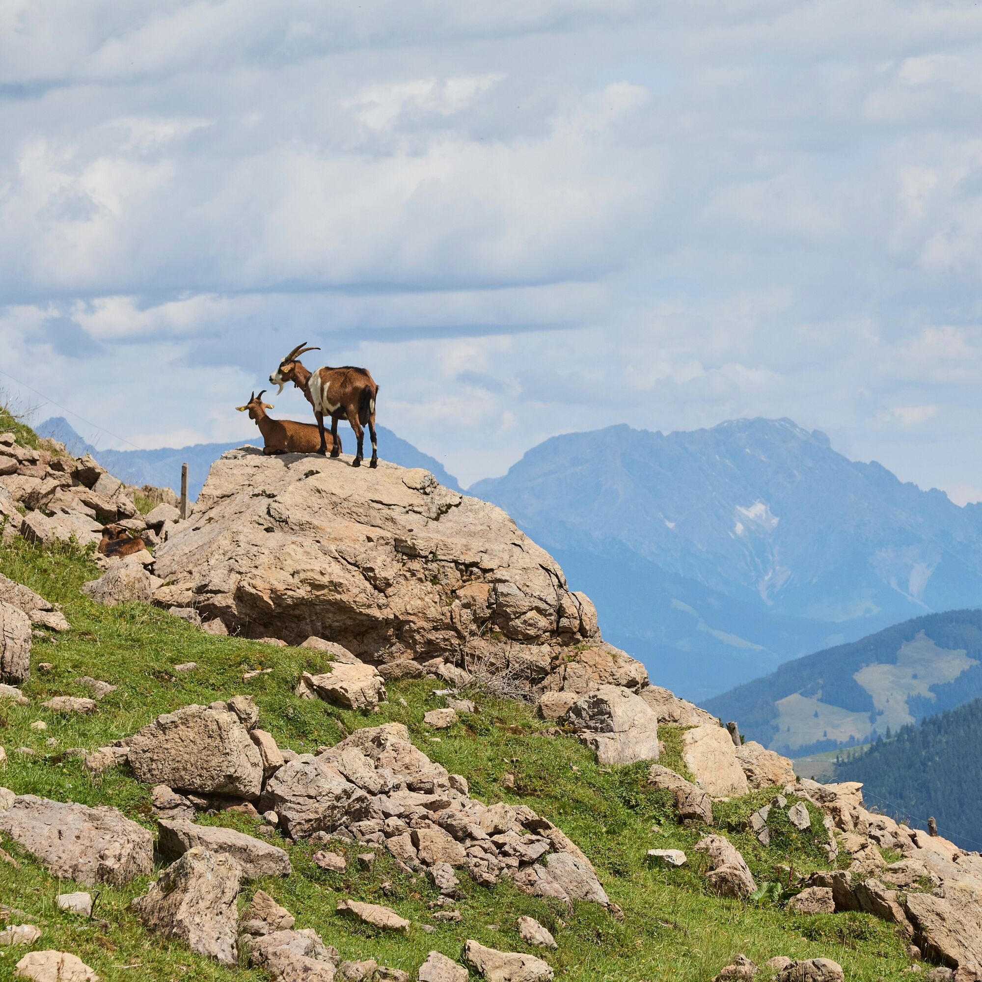
Pay attention to weather forecasts! Observe the rules for the correct handling of grazing animals and do not leave any waste in nature!
Alpine emergency call: 140 â¯â¯â¯â¯â¯â¯â¯â¯â¯â¯â¯â¯â¯â¯â¯â¯â¯â¯â¯â¯â¯â¯â¯â¯â¯â¯â¯â¯â¯â¯â¯ ⯠⯠⯠⯠⯠⯠⯠⯠⯠⯠⯠⯠⯠⯠â¯
Emergency call: 112
Be sure to include the ascent of the Spielberghorn. The exposed summit is a highlight of the Kitzbühel Alps!
Kamery internetowe z trasy
-
Schattberg - West
-
Asitz Gipfel
-
Berghotel Seidl-Alm
-
Schattberg Westgipfel
-
Asitz Mittelstation
-
Kohlmais Tal
-
Asitz Talstation
-
Leogang
-
Hinterglemm - Saalbach
-
Großer Asitz / Gipfelkreuz
-
Leogang Schanteilift
-
Saalbach-Hinterglemm - Schattberg Ost
-
Saalbach-Hinterglemm - Wildenkarkogel
-
Saalbach - Hotel Alpinresort
-
Zwölferkogel
-
Wildenkarkogel
-
Talstation Asitzbahn
-
Leogang - Grosser Asitz
-
Wohlfühlhotel-Johanneshof
-
Eberharthof - Saalbach-Hinterglemm
Uzyskaj wgląd
Zawsze na żywo z ponad 9 500 kamer internetowych. bergfex Jako użytkownik Pro, możesz teraz zobaczyć odpowiednie kamery internetowe dla wielu wycieczek w aplikacji wycieczki od. Pozwala to na bezpośredni podgląd aktualnych warunków.
Popularne wycieczki w okolicy
-
4,6
Seisenberg Gorge
światłoWędrówka 2,41 km -
4,8
Loferer Steinberge, zum Hinterhorn über die Schmid-Zabierow Hütte, 19.06.22
ciężkiWędrówka 14,0 km -
4,2
Passauer Hütte
ciężkiWędrówka 4,14 km -
4,2
Maurerkogel (Top)
Wędrówka 10,5 km -
4,1
Berg der Sinne
światłoWędrówka 4,39 km -
4,6
Birnbachloch Leogang, Österreich
średniWędrówka 5,18 km -
4,6
Lettlkaser
średniWędrówka 4,40 km -
4,9
Hochsonnberg Runde
średniMountainbike 59,8 km -
5,0
Leo’s play hiking trail
światłoTrasa tematyczna 4,89 km -
4,3
Saalachtaler Höhenweg EAST (Asitz - Biberg)
średniWędrówka 13,1 km
Wędrówki i tropienie


Nie przegap ofert i inspiracji na następne wakacje
Twój adres e-mail została dodana do listy mailingowej.





