







Sinnlehenalm
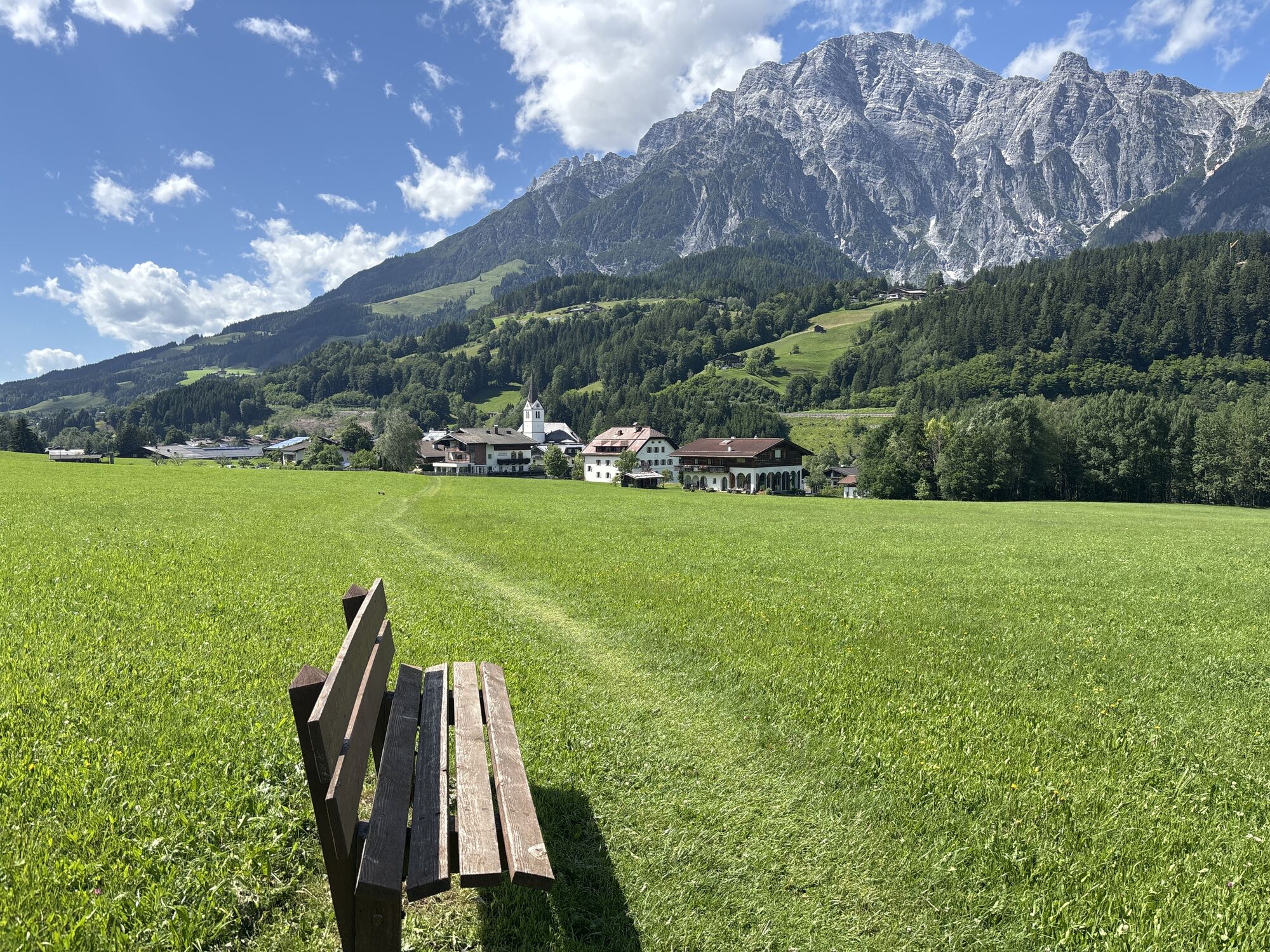
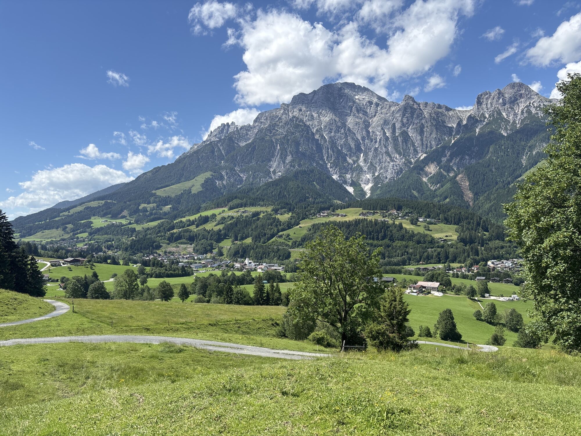
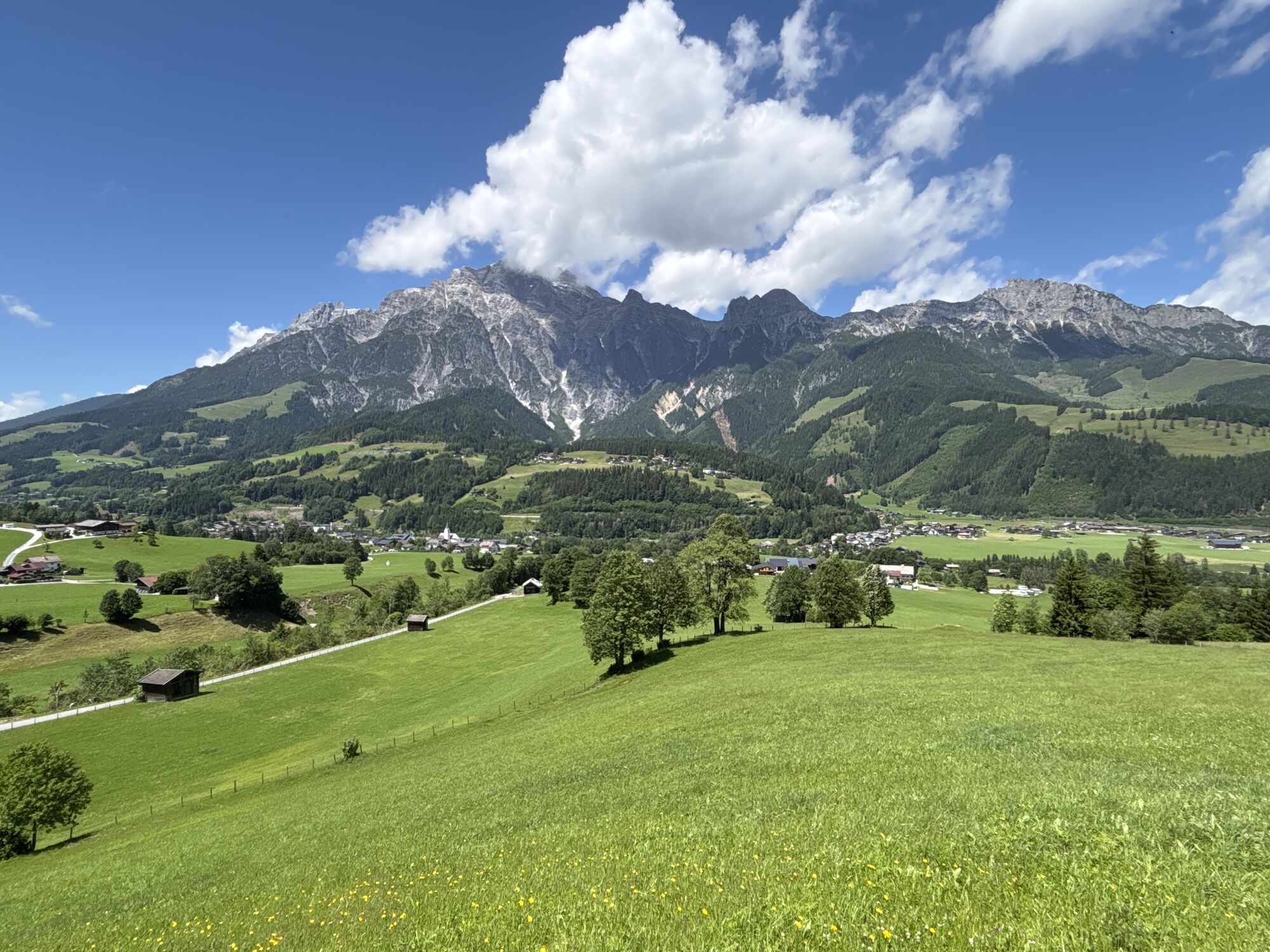
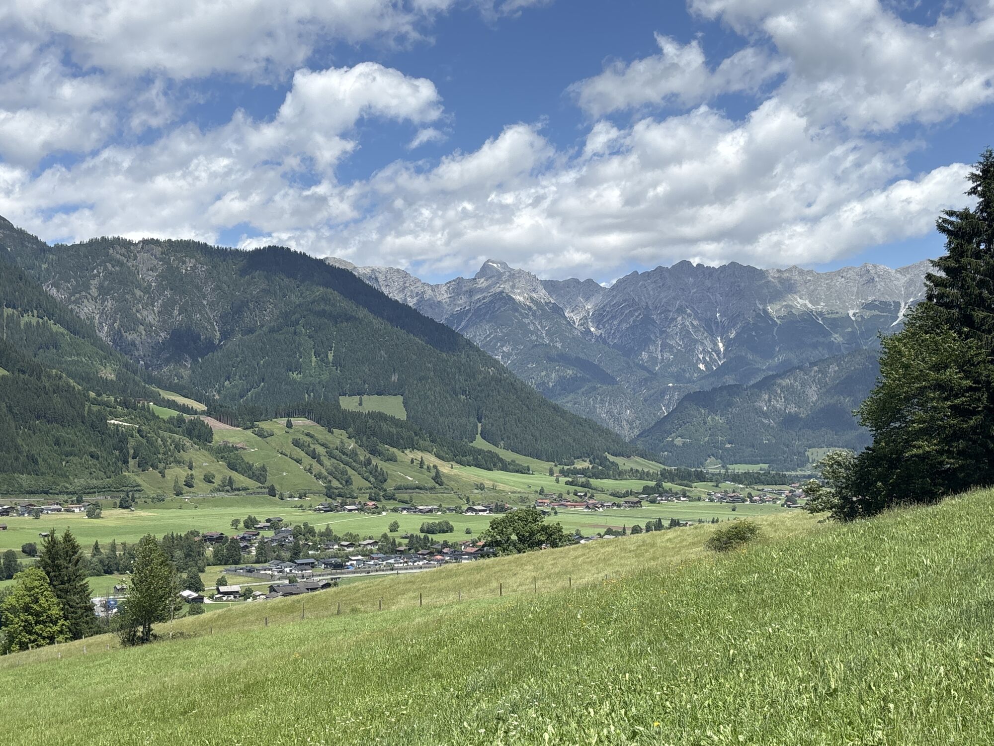
The hike to the Sinnlehenalm at about 950 m is the ideal route for beginners and families. Hikers are rewarded not only with a magnificent panorama over the Leogang Valley, the Leogang Steinberge, and...
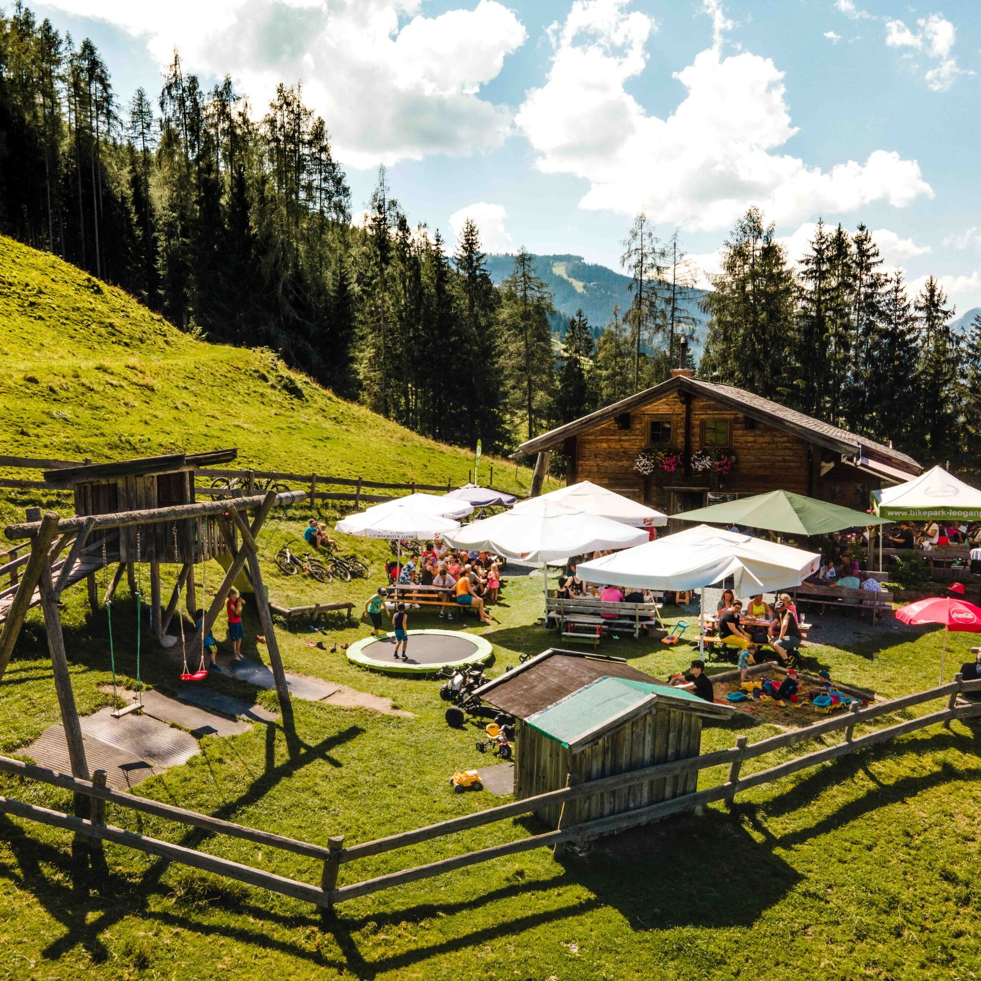
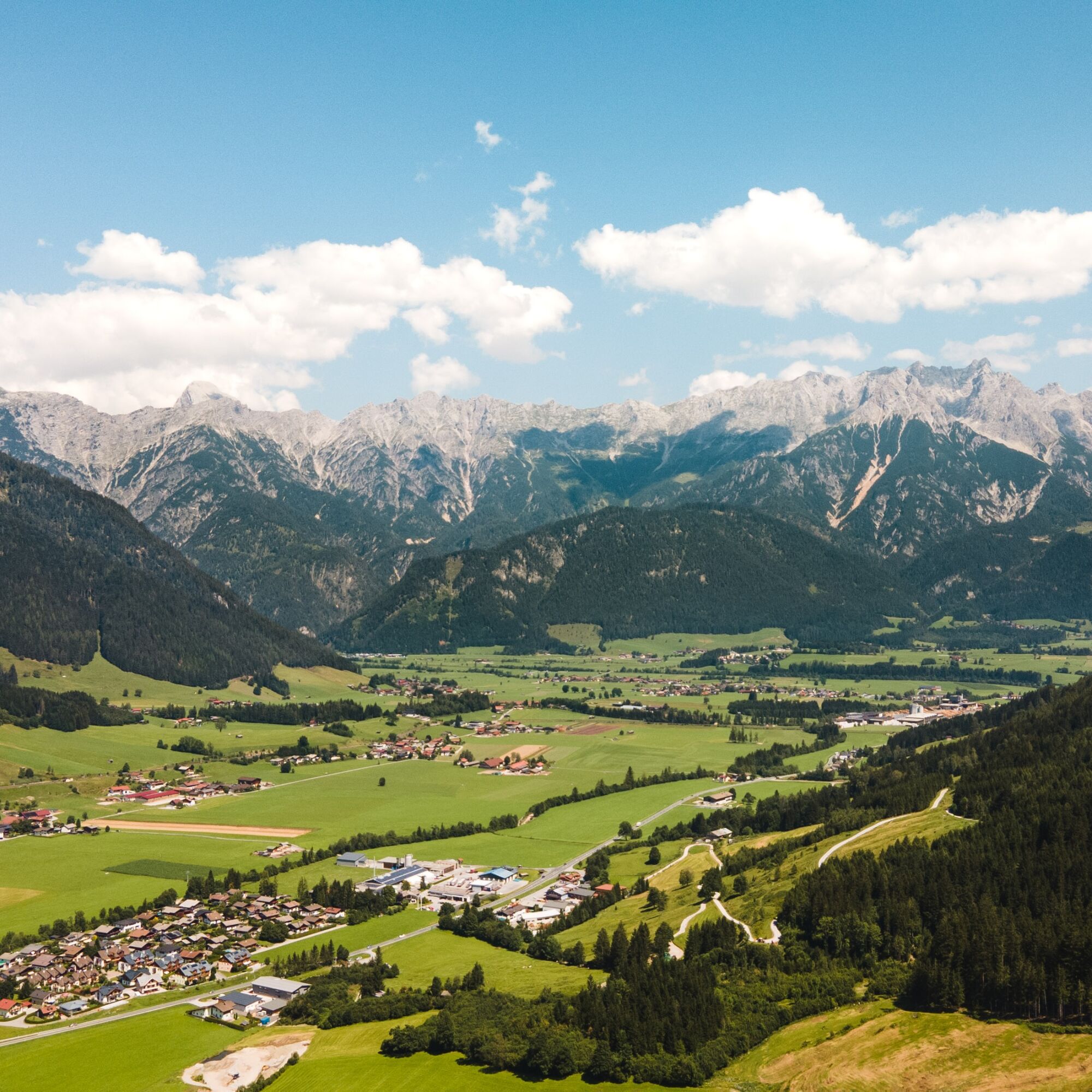
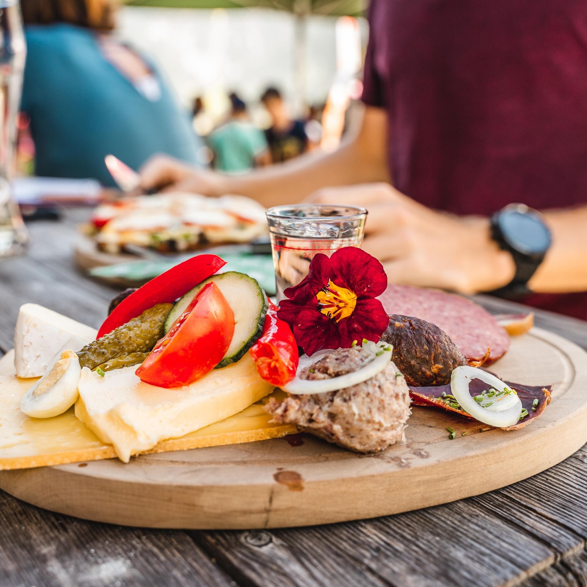
The hike to the Sinnlehenalm at about 950 m is the ideal route for beginners and families. Hikers are rewarded not only with a magnificent panorama over the Leogang Valley, the Leogang Steinberge, and the Birnhorn (2,634 m), but can also enjoy an alpine snack from the own alpine farm with freshly baked bread, butter, bacon, and cheese. The ascent starts from the town center of Leogang and leads through gently rising meadows and partly shaded forest paths to the alpine farm. The partly shaded path also allows smaller or older hikers to manage the ascent. Children can romp to their heart's content on the playground or experience the alpine animals up close.

Alternatively, the ascent can start from the Leogang district Hirnreit. From there, a wide, well-marked forest road leads directly to the alpine farm.
Note: Transfers from the alpine farm to the Jausenstation Huggenberg and the Biberg Saalfelden summer toboggan run are possible.
Tak
Hiking boots, day backpack, map material
Coming from Saalfelden, turn left at the district Hirnreit or continue directly to the town center, where parking is available above the church.
BY TRAIN
You can enjoy your vacation right from the start by train. No traffic jam can stop you from coming to Saalfelden Leogang! The ÖBB timetable will also help you quickly and easily find the ideal train connection to the "Leogang Steinberge" station: www.oebb.at (approx. 10 minutes walk to the starting point)
BY BUS
You can conveniently reach the starting point by bus line 690 from Saalfelden or Hochfilzen to the stop "Leogang Ortsmitte." About 240 meters towards the Schanteilift you will reach the start of the hike. Further information can be found at https://fahrplan.salzburg-verkehr.at/
Leogang town center - above the church
Dining option: Sinnlehenalm
The Sinnlehenalm is closed on Wednesdays! www.sinnlehen.at
The Taste of Leogang
Experience the variety of Leogang during a cheese dairy tour at the Sinnlehenalm and learn how cheese and butter are made up here. Tasting is, of course, a must! The favorite varieties are also available to take home directly from the alpine farm.

Kamery internetowe z trasy
Uzyskaj wgląd
Zawsze na żywo z ponad 9 500 kamer internetowych. bergfex Jako użytkownik Pro, możesz teraz zobaczyć odpowiednie kamery internetowe dla wielu wycieczek w aplikacji wycieczki od. Pozwala to na bezpośredni podgląd aktualnych warunków.

Popularne wycieczki w okolicy
-
4,3
Maria Alm - Riemannhaus
Wędrówka 3,99 km -
4,6
Steinalm
światłoWędrówka 2,71 km -
4,3
Schwalbenwand Nr. 80, 81, 82
średniWędrówka 13,0 km -
4,4
Peter-Wiechenthaler Hut
średniWędrówka 4,32 km -
4,9
Breithorn
średniWędrówka 10,0 km -
4,5
Seisenberg Gorge
światłoWędrówka 2,41 km -
4,2
Passauer Hütte
ciężkiWędrówka 4,14 km -
4,1
Maurerkogel (Top)
Wędrówka 10,5 km -
4,6
MTB Tour Ramseiden-Round (Tour 1)
średniMountainbike 18,9 km -
4,9
Schönfeldspitze 12.08.2020
ciężkiWycieczka wysokogórska 15,3 km
Wędrówki i tropienie


Nie przegap ofert i inspiracji na następne wakacje
Twój adres e-mail została dodana do listy mailingowej.





