







Bear Trail on the Lidaun

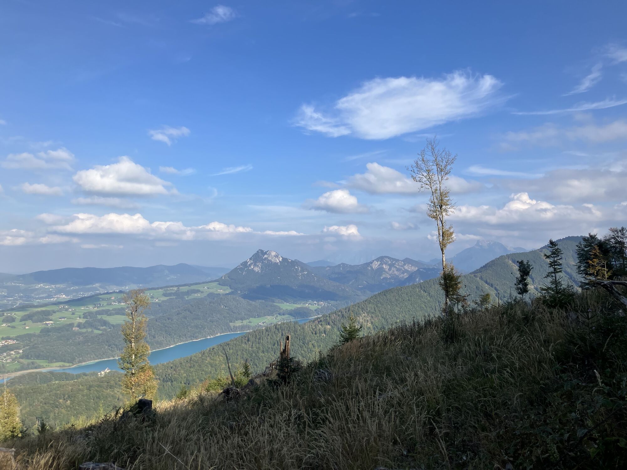
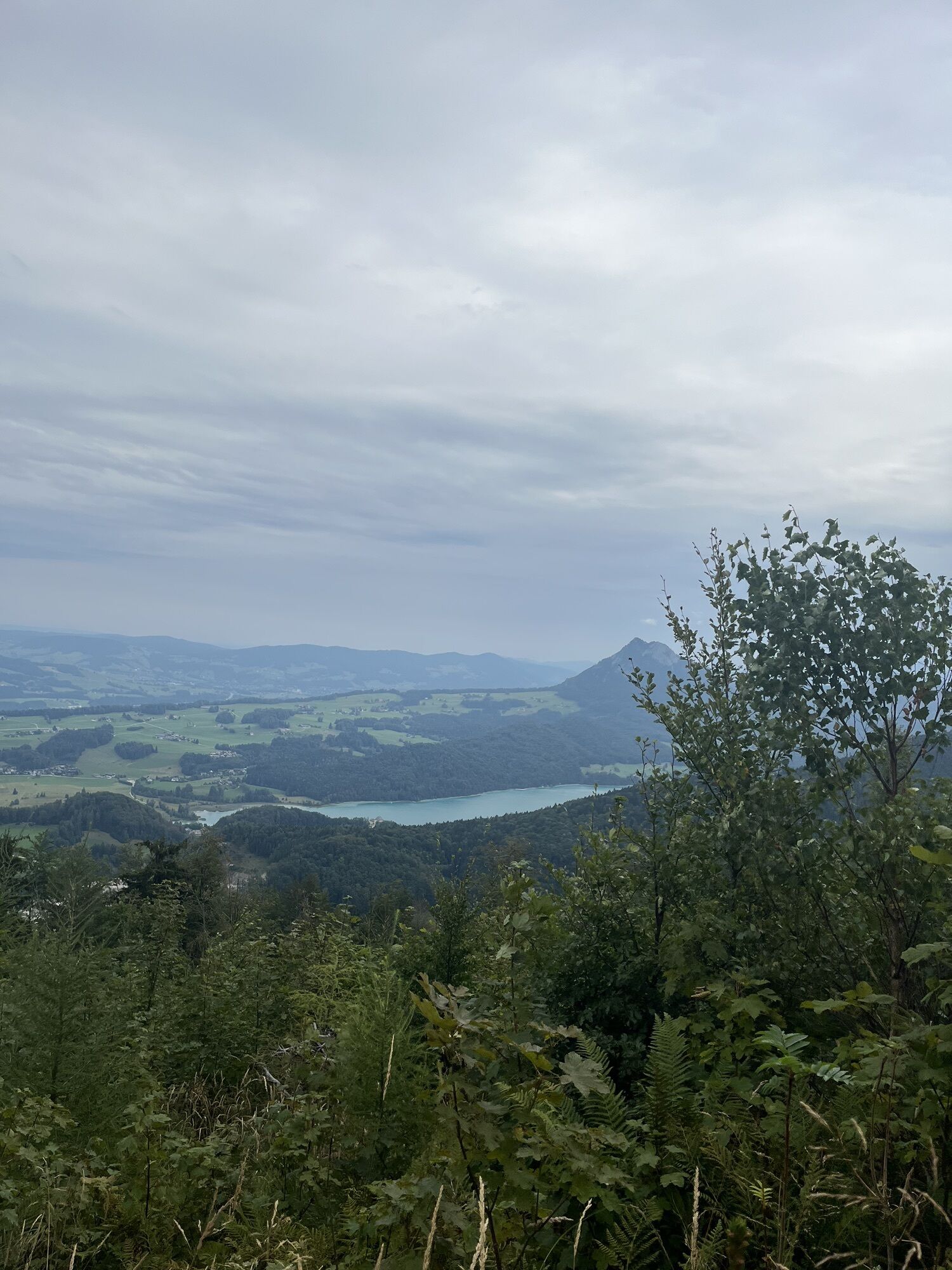
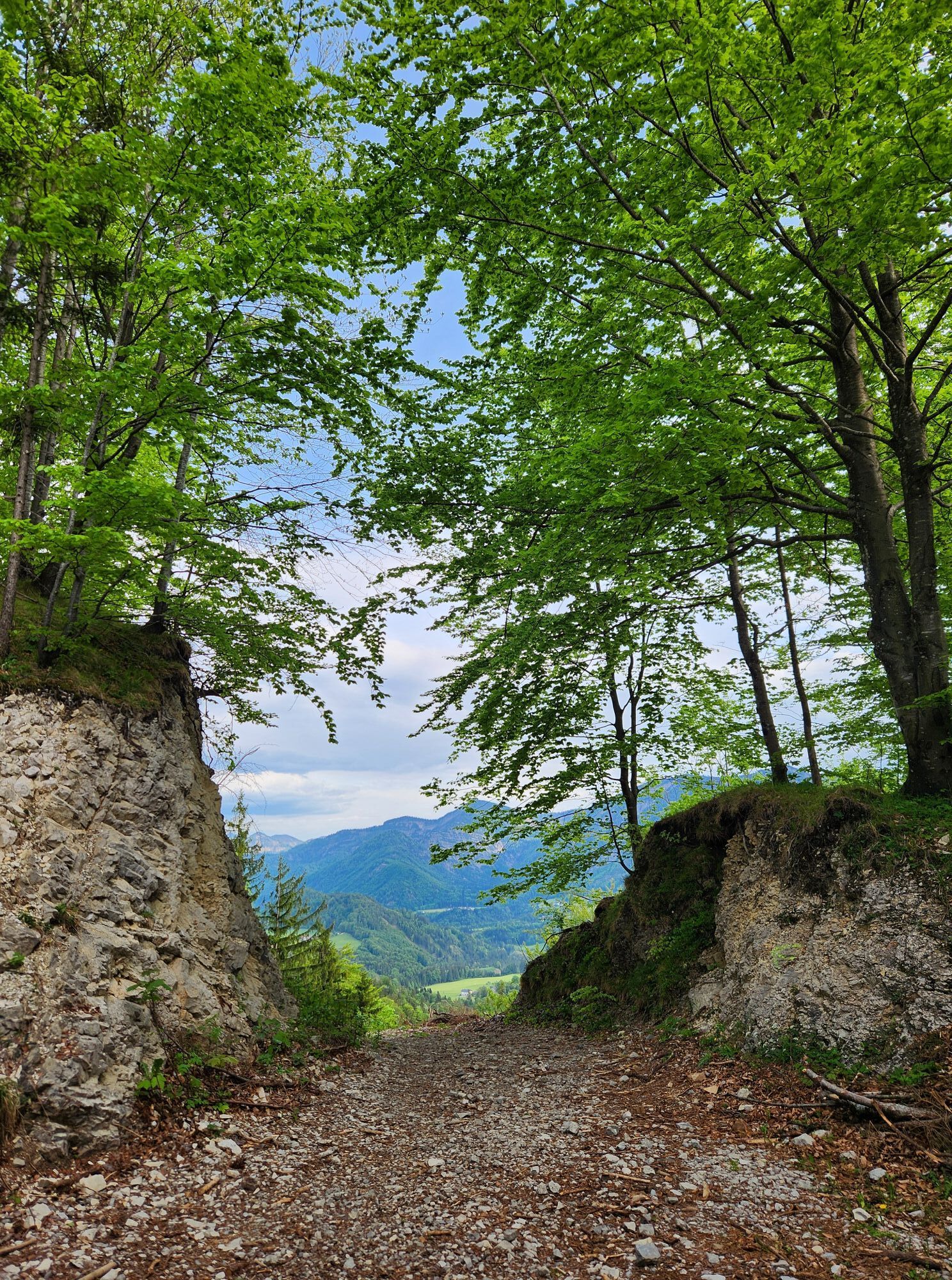
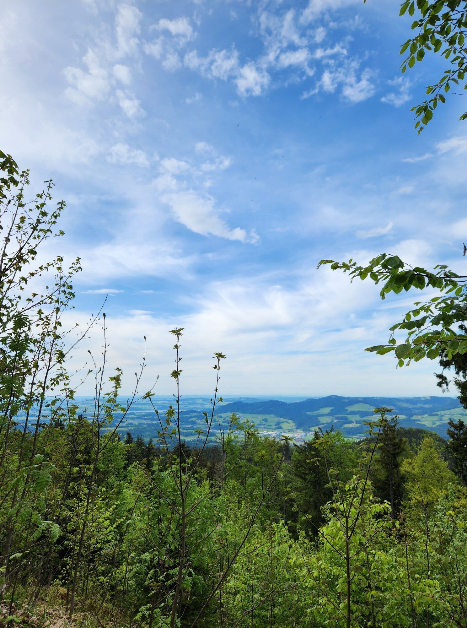
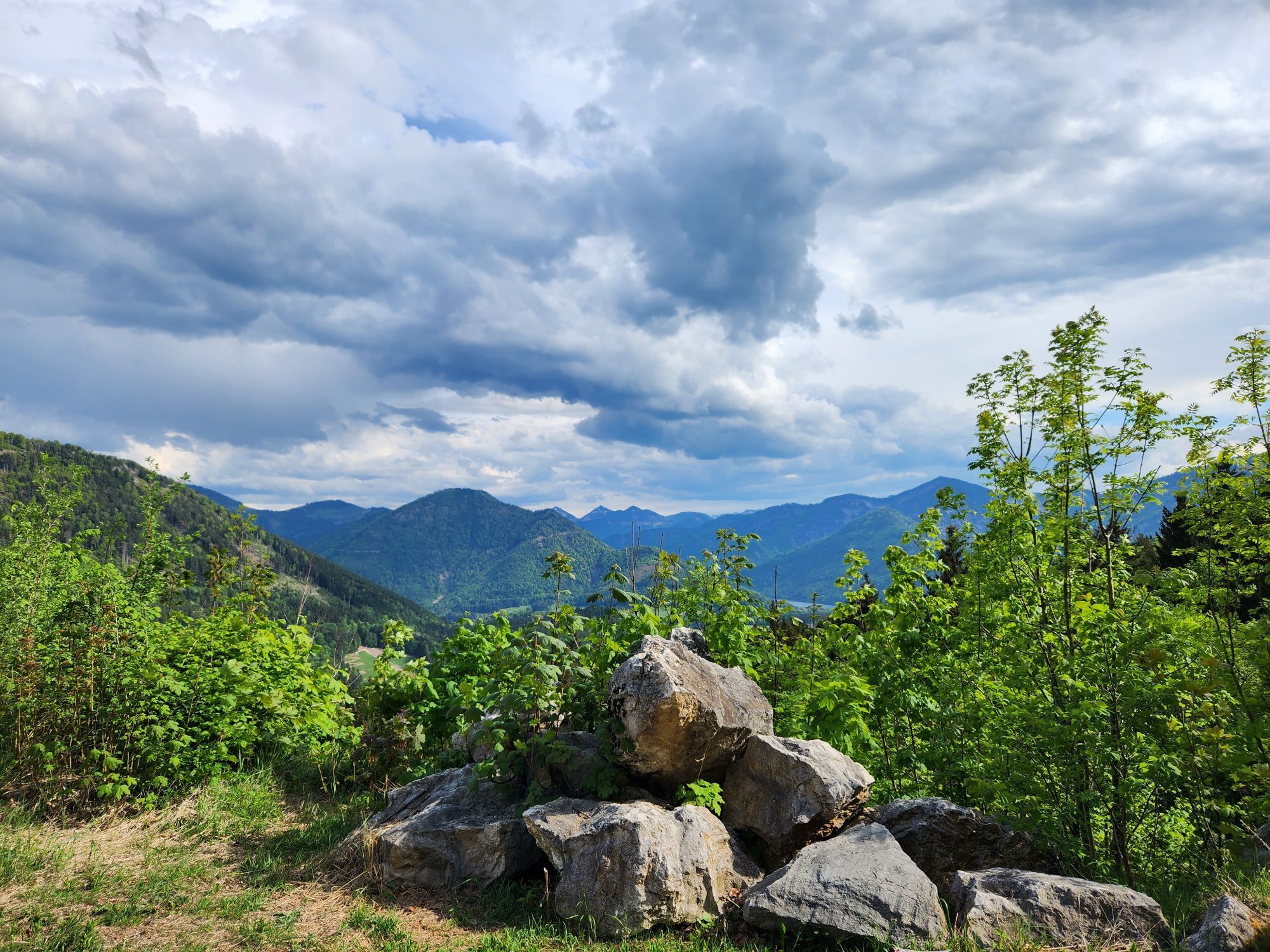
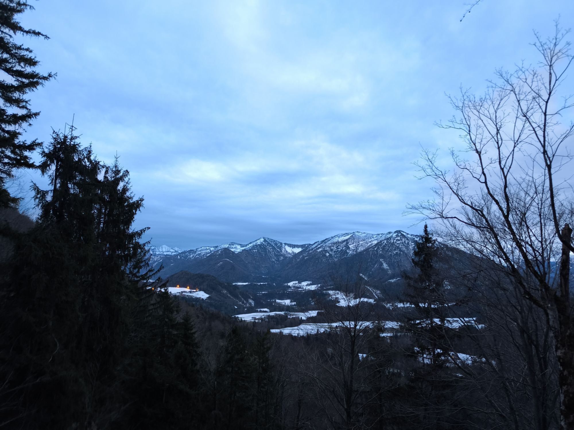
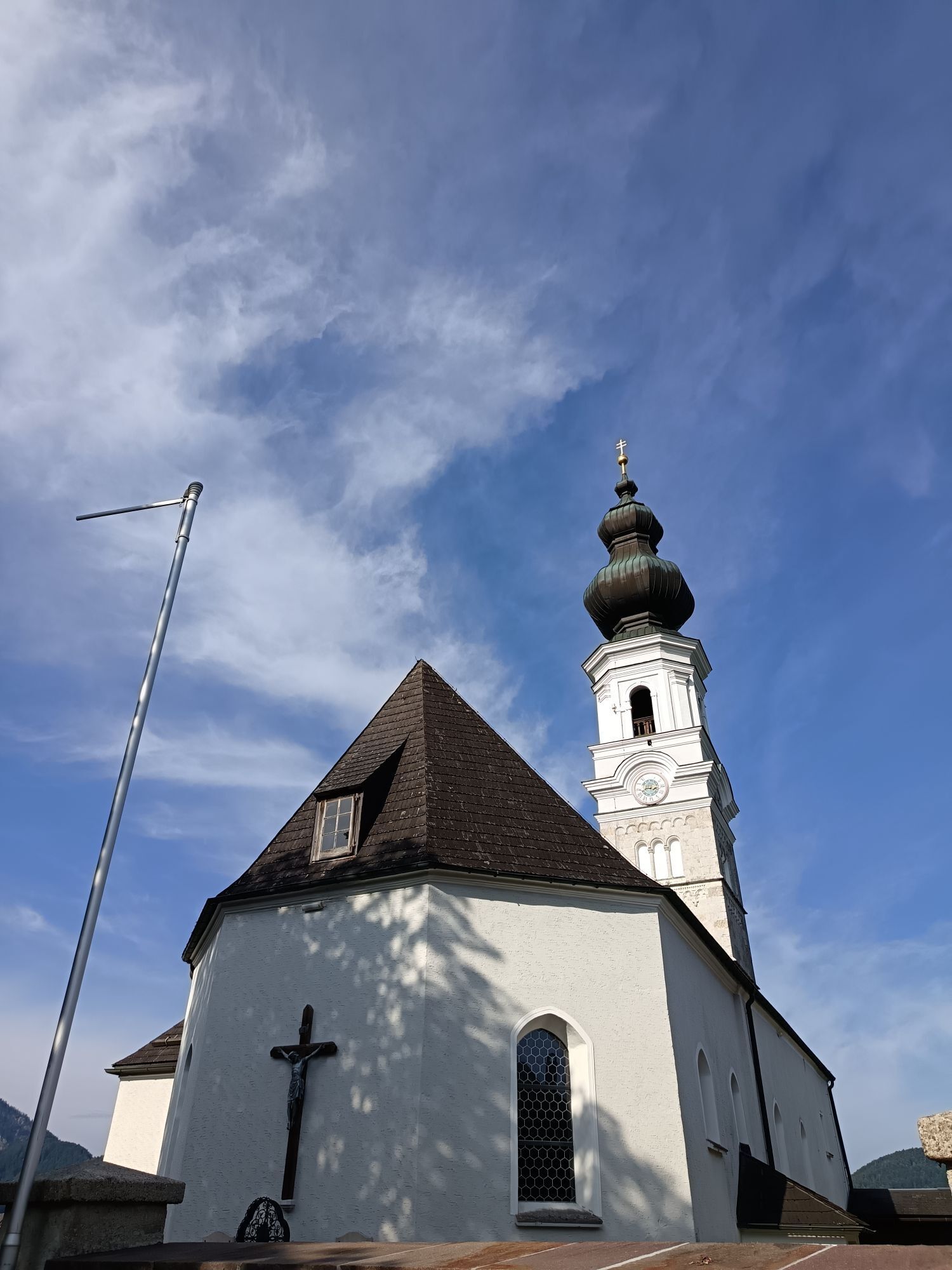
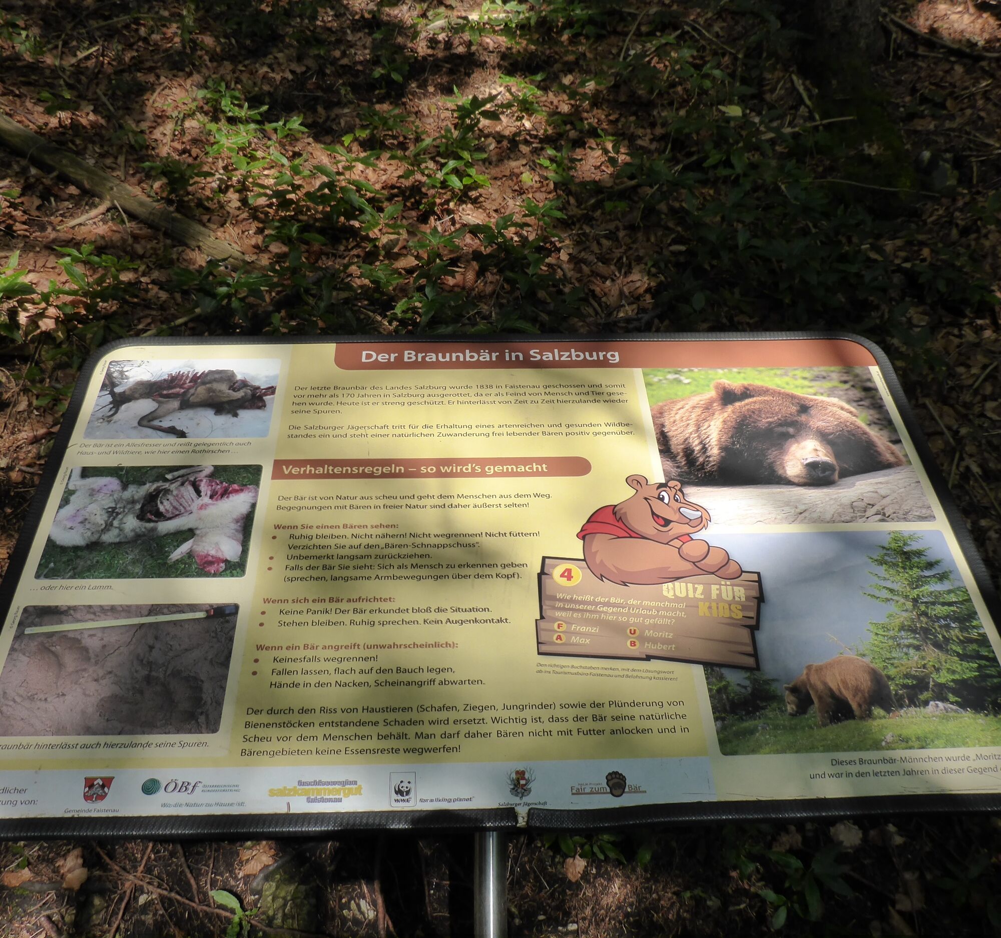
After the last bear of the state of Salzburg was shot in Faistenau in 1838, the bear "Moritz" from the nearby Salzkammergut visited us in May 2006. This sparked discussions about the conservation of large...
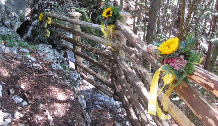
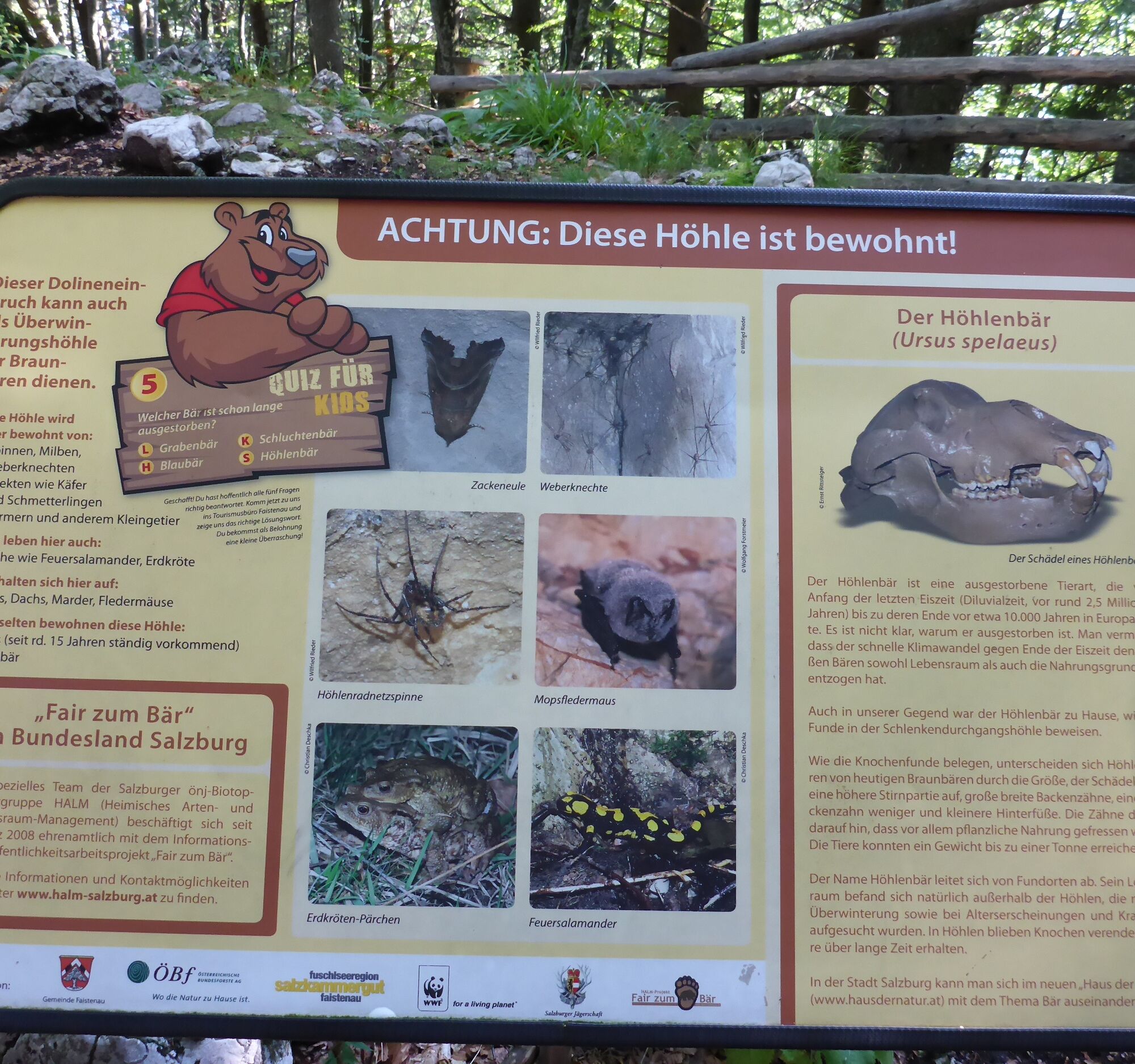
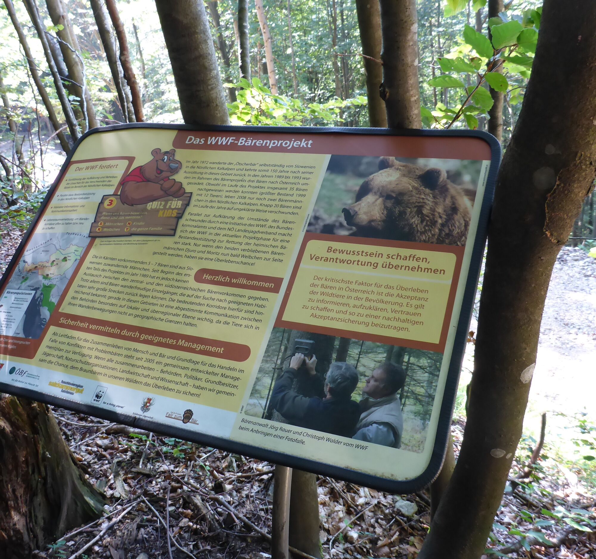
After the last bear of the state of Salzburg was shot in Faistenau in 1838, the bear "Moritz" from the nearby Salzkammergut visited us in May 2006. This sparked discussions about the conservation of large predators in our cultural landscape. The danger to humans and animals was also interpreted very differently. The municipality of Faistenau has therefore taken up the topic and, together with competent partners, tried to provide a value-free and unbiased presentation in the form of a signposted hiking trail to the "Bear's Cave" at the Lidaun. 5 informative boards line the west ascent to the Lidaun summit, each asking you a question. The letters of the correct answers form a word; bring it to the Faistenau tourism office, where a small surprise awaits you! The last station of the path is the Bear's Cave, where you will also experience something special.
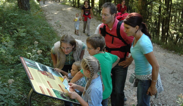
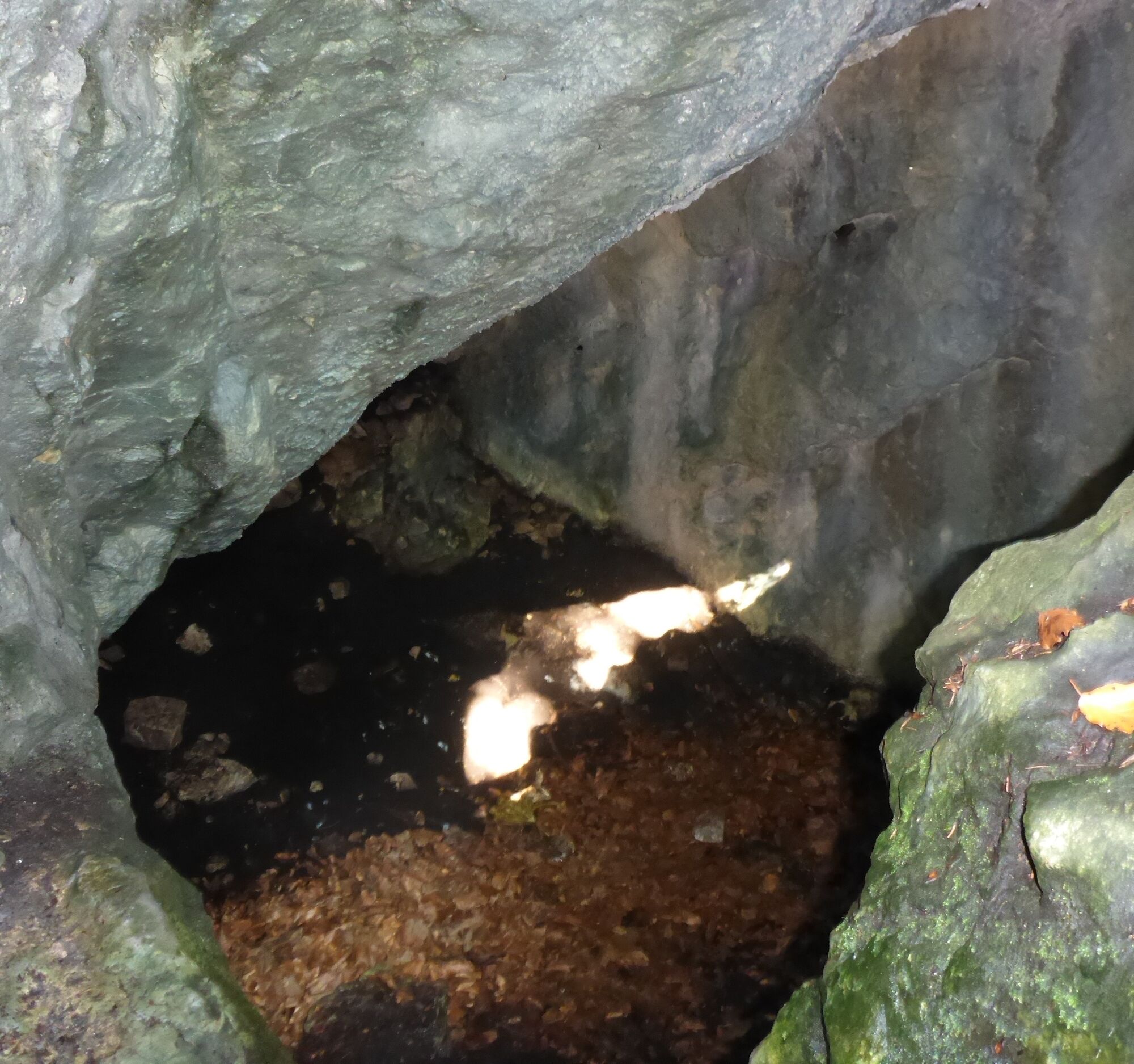
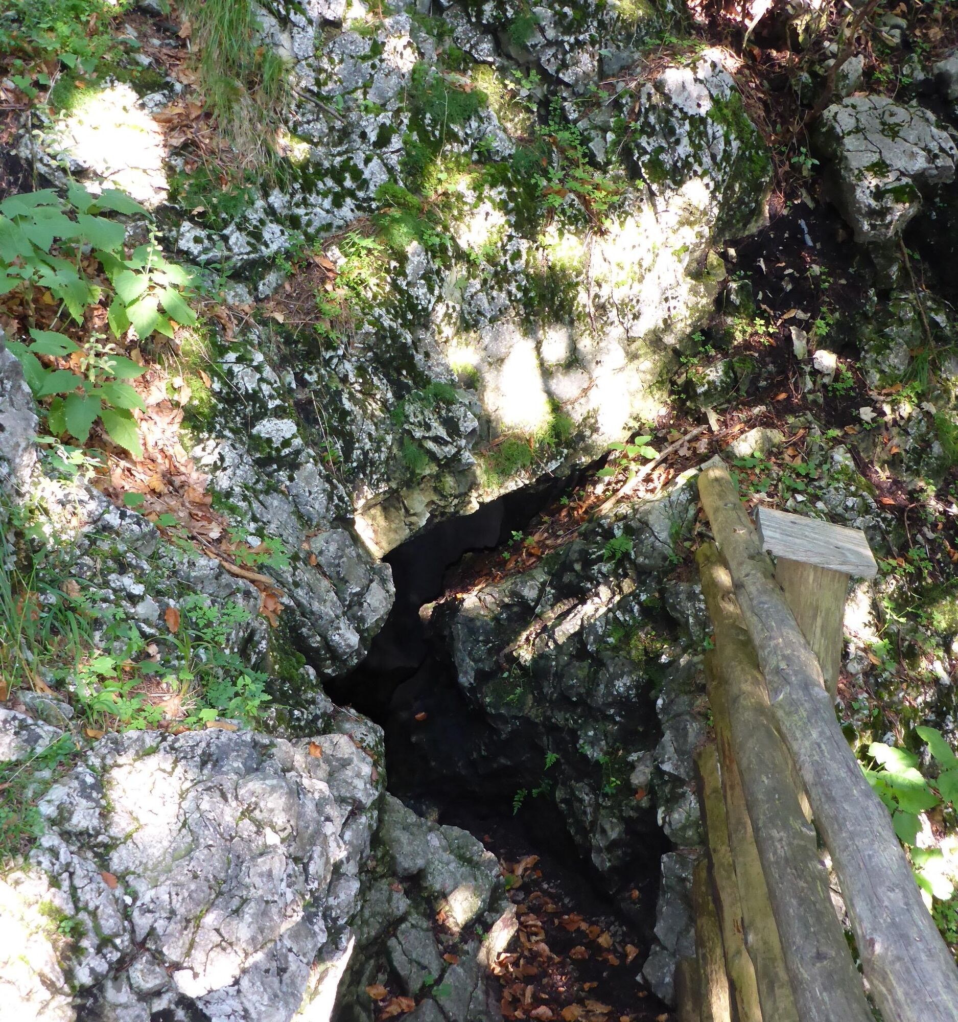
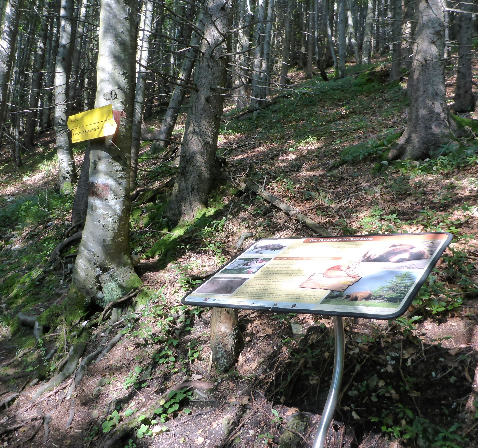
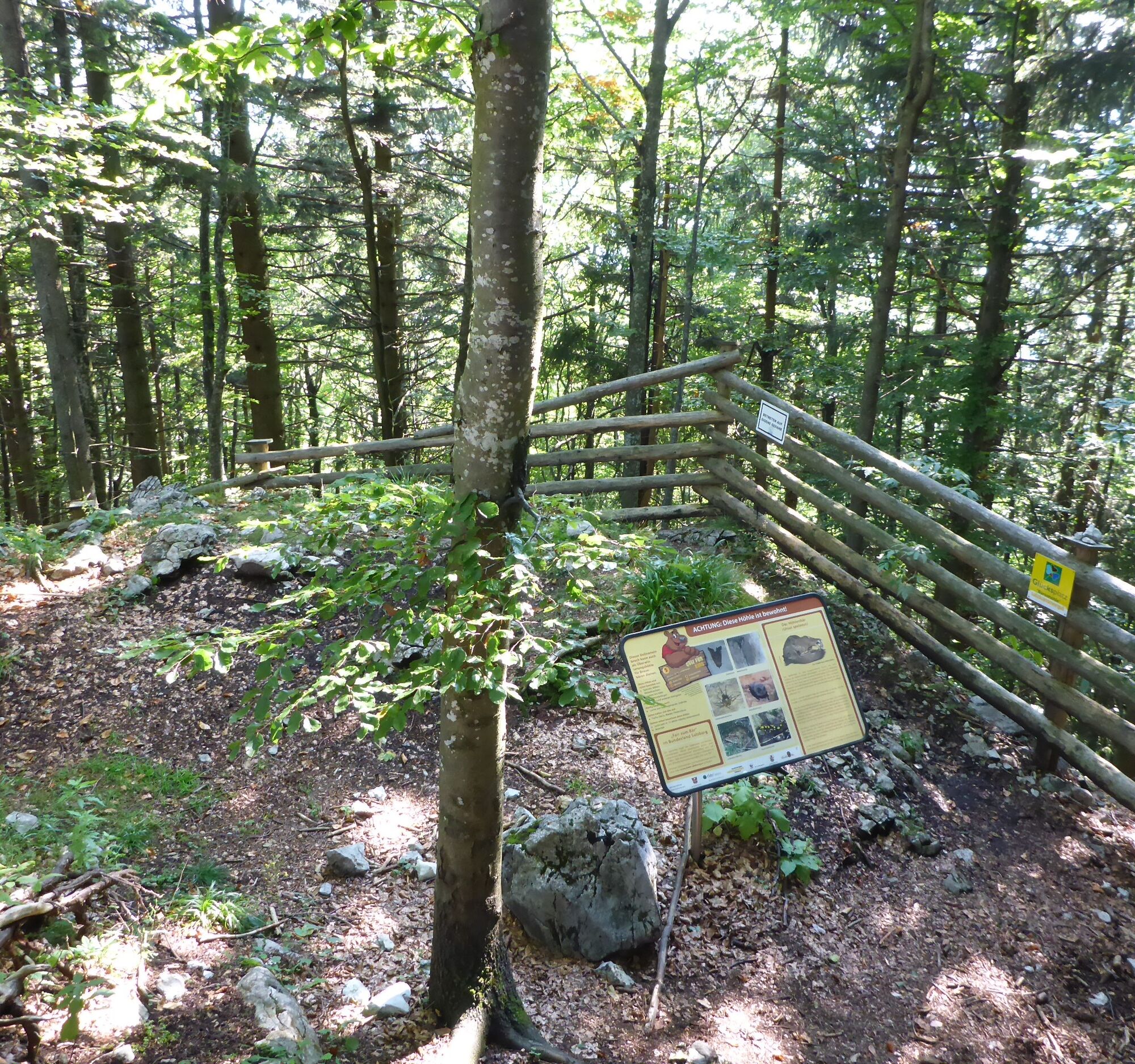
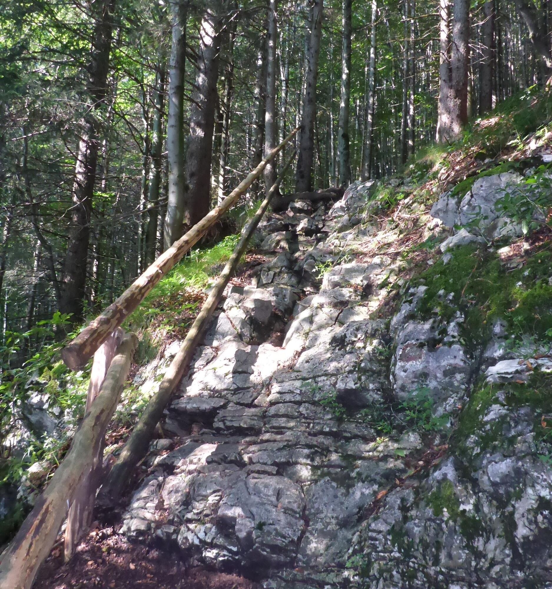
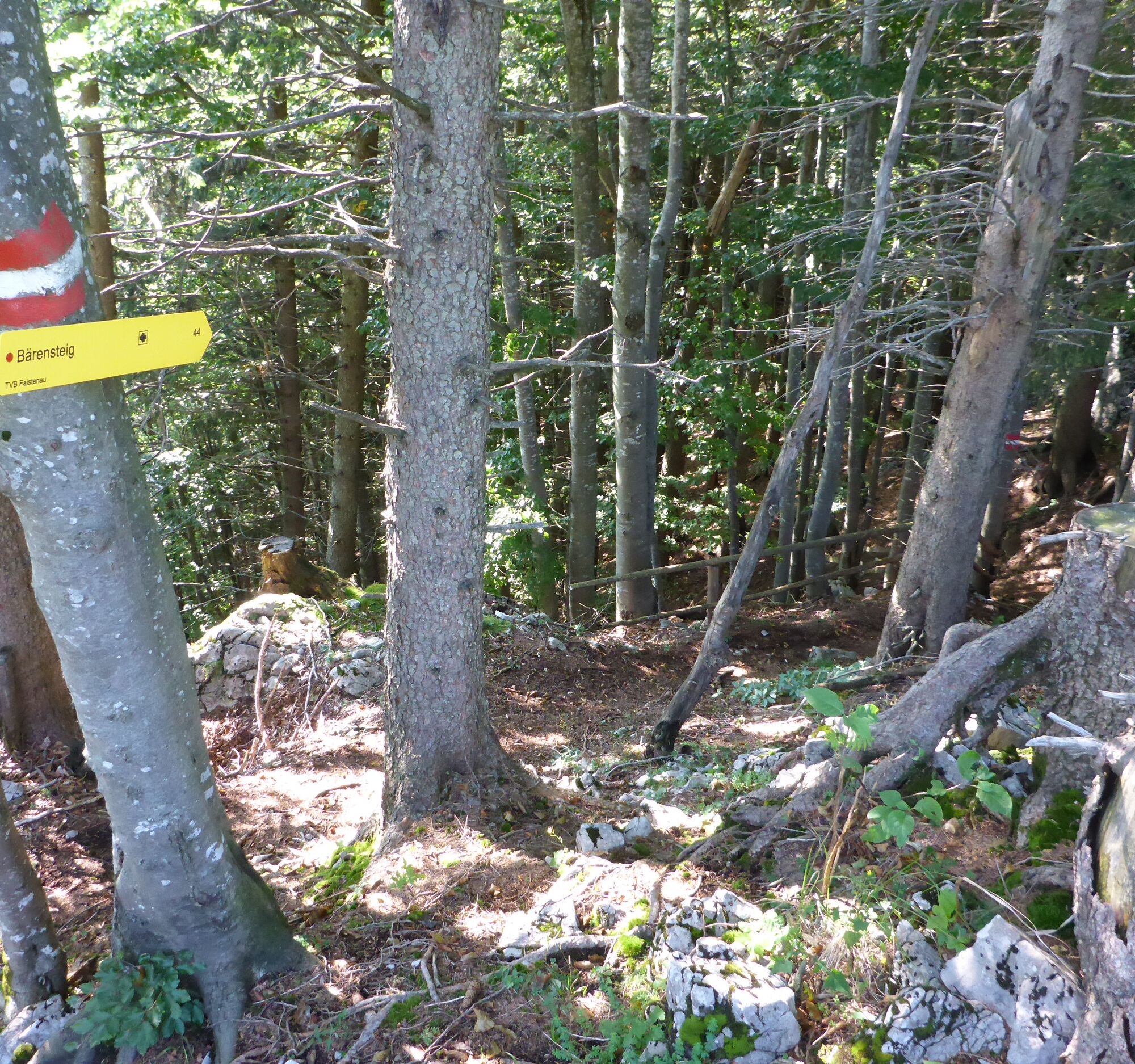
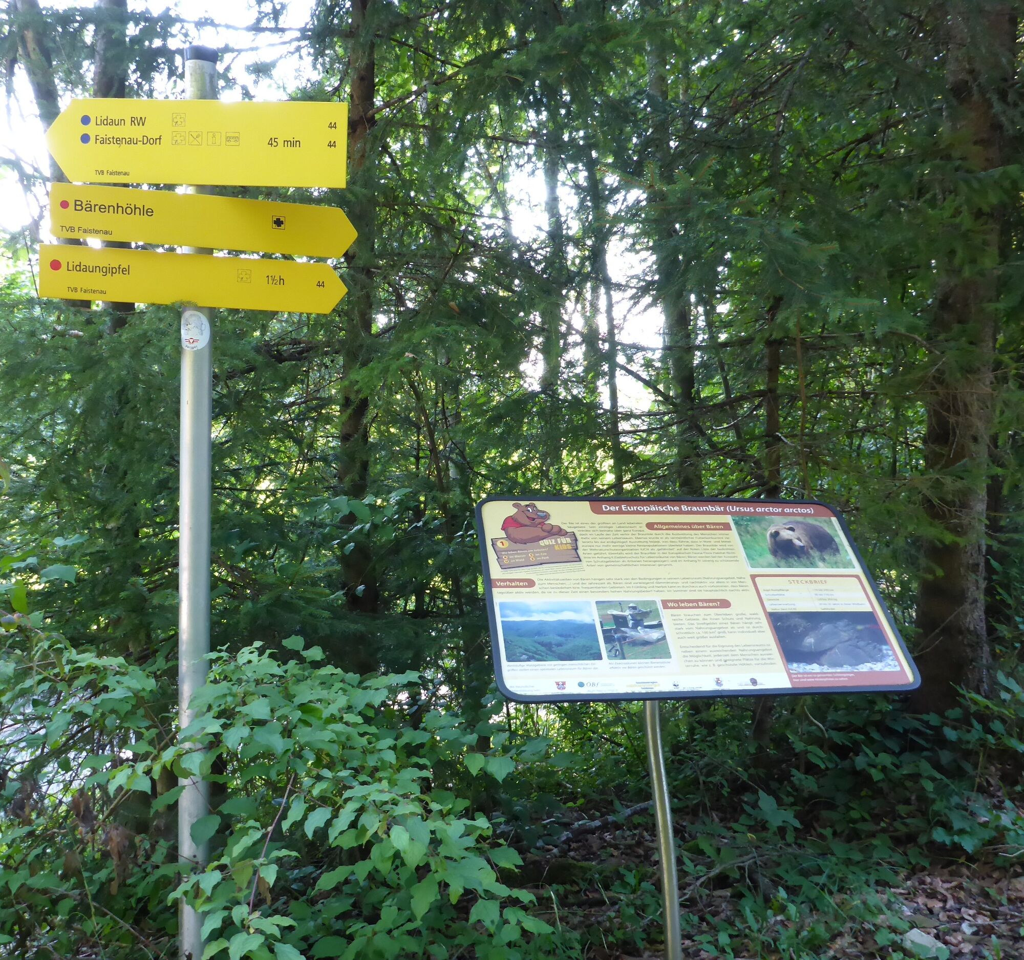
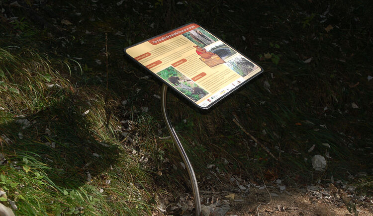

The Bear Trail Lidaun (No. 44) is easy to find and well signposted: Starting point village centre (car park behind the church), behind the town hall & Krämerwirt down towards the forest, over a bridge and then left up to the Kreuzfichte, left along the road at the edge of the forest, at the third right turn on the forest road to the junction right towards the summit & Bear's Cave (varieties 1 and 2) or on the forest road along the circular hiking trail (variety 3).Variety 1 (8.2 km, 450 m altitude difference, approx. 3.5 h total walking time):From the Bear's Cave go down the "Bear Trail", back to the side path and at the junction turn left to return to the village centre.Variety 2 (8.6 km, 450 m altitude difference, approx. 4 h total walking time):From the summit go down northeast to the circular hiking trail, at the asphalt road then turn left to return to the village centre.Variety 3 (7.5 km, 300 m altitude difference, approx. 3 h total walking time):At the asphalt road turn left to return to the village centre.
Tak
Tak
Tak
Sturdy footwear, no special equipment otherwise required.
Information from the Faistenau Riding and Horse Breeding Association
From the lowest point of the circular hiking trail (junction to Hintersee) the path is also used by riders. A major concern of the Faistenau Riding Association is harmonious coexistence between riders and hikers. Mutual respectful behaviour is particularly important. Please therefore observe the leash obligation, keep a safe distance from horses and avoid loud noises as well as hasty/quick movements.
Leash requirement for dogs
Since 2009, the obligation to keep dogs on a leash and dispose of dog waste has been in force throughout the municipality of Faistenau. This also applies to all hiking trails.
Arrival via the A1 West Motorway – exit Thalgau
Follow the federal road (B 158) in Hof bei Salzburg to the Baderluck roundabout. At the 1st exit turn into Hinterseestraße and after a few kilometres reach your holiday destination Faistenau.
This route is easily accessible by train and bus.
By bus
From Salzburg main station there are excellent Postbus connections to the Fuschlsee region or to Faistenau. You can find all bus connections online at www.svv-info.at.
By train
Information about train connections can be found at www.oebb.at or www.bahn.de
By plane
Salzburg W.A. Mozart Airport is located in the immediate vicinity of the city of Salzburg. Bus lines 2 or 27 will take you to the main station, where you can change to the Postbus.
free parking in the village centre opposite the Neue Mittelschule


Kamery internetowe z trasy

Aktywności na trasie
-

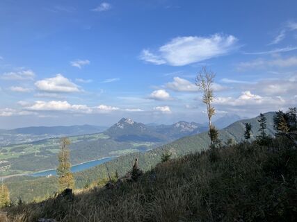
Faistenau, Lidaunberg, Salzburg/Österreich
04.10.2026 – Wędrówka -

Faistenau, Salzburg/Österreich
26.09.2026 – Wędrówka -

Faistenau, Salzburg/Österreich
06.09.2026 – Wędrówka -

Faistenau, Salzburg/Österreich
01.08.2026 – Wędrówka -

Faistenau, Salzburg/Österreich
15.07.2026 – Szybkie wędrówki -

Faistenau, Salzburg/Österreich
11.06.2026 – Wycieczki górskie -
Faistenau, Salzburg/Österreich
17.05.2026 – Wędrówka -

Faistenau, Salzburg/Österreich
01.05.2026 – Wędrówka -

Lidaunberg, Salzburg/Österreich
17.04.2026 – Wędrówka -

Faistenau, Salzburg/Österreich
12.04.2026 – Wędrówka -
Faistenau, Salzburg/Österreich
12.04.2026 – Wędrówka -
Faistenau, Salzburg/Österreich
30.03.2026 – Wycieczki górskie -
Faistenau, Salzburg/Österreich
09.03.2026 – Wędrówka -
Faistenau, Salzburg/Österreich
24.01.2026 – Wędrówka -
Faistenau, Salzburg/Österreich
06.09.2025 – Wędrówka -

Lidaunberg
06.04.2025 – Wędrówka -

Lidaun, Faistenau
12.01.2024 – Wędrówka zimą -
Faistenau, Austria
21.09.2022 – Wycieczka wysokogórska
Popularne wycieczki w okolicy
-
4,8
Fuschl: Ruine Wartenfels - Schober - Frauenkopf
średniWędrówka 7,62 km -
4,4
Fuschlseewanderung
światłoWędrówka 11 km -
4,3
Pillstein Panorama Rundweg
światłoWędrówka 3,40 km -
3,9
Bärenweg am Lidaun
światłoWędrówka 9,05 km -
4,7
Pleasure hike over the Falkenstein
średniWędrówka 9,81 km -
4,7
The Plombergstein: Adventure and summit panorama
światłoWędrówka 4,12 km -
4,2
Illinger Alm-Runde
średniWędrówka 9,89 km -
4,4
From Koppl to the Gaisberg summit
średniWędrówka 9,86 km -
4,8
Salzkammergut: Die Drachenwand
ciężkiVia ferrata 4,32 km -
4,3
Idyllic Hintersee Circuit
światłoWędrówka 5,10 km
Wędrówki i tropienie


Nie przegap ofert i inspiracji na następne wakacje
Twój adres e-mail została dodana do listy mailingowej.





