



Grießenkareck high-altitude hike (41 & 45)

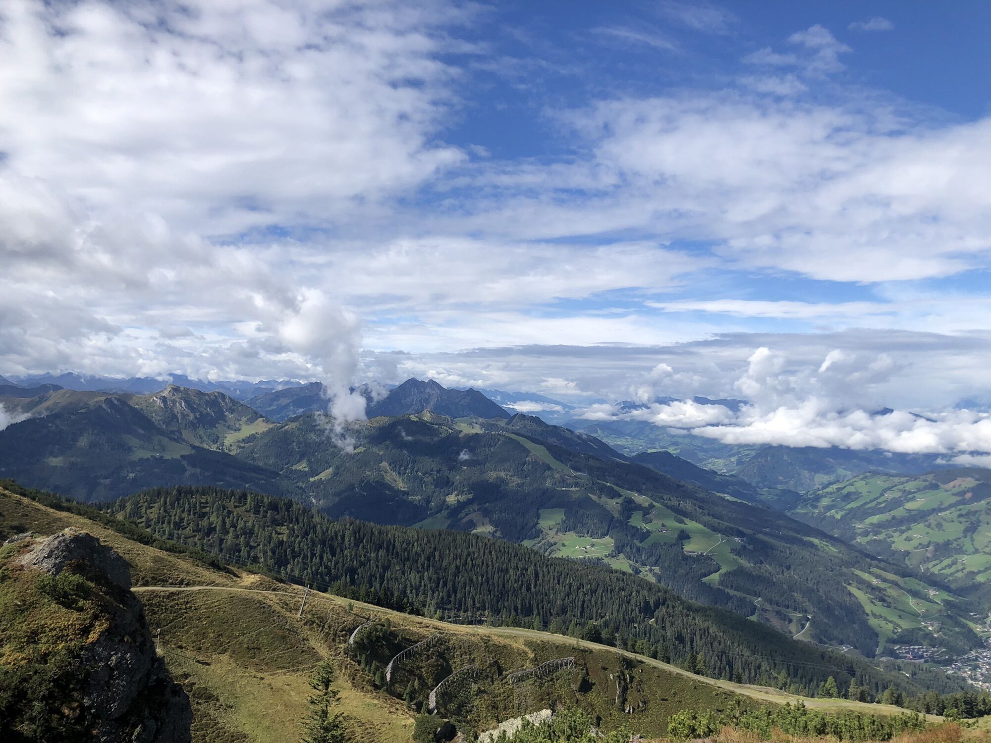
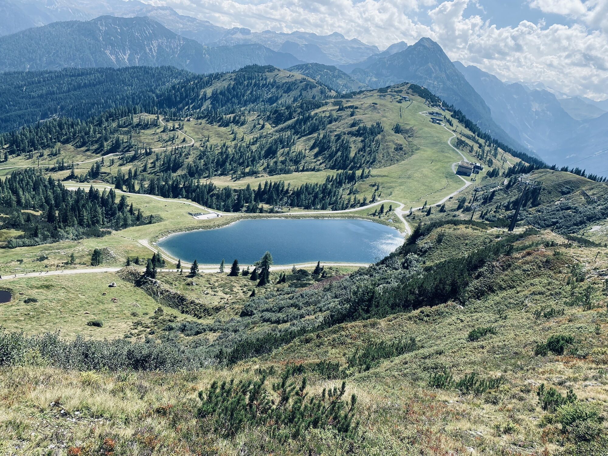
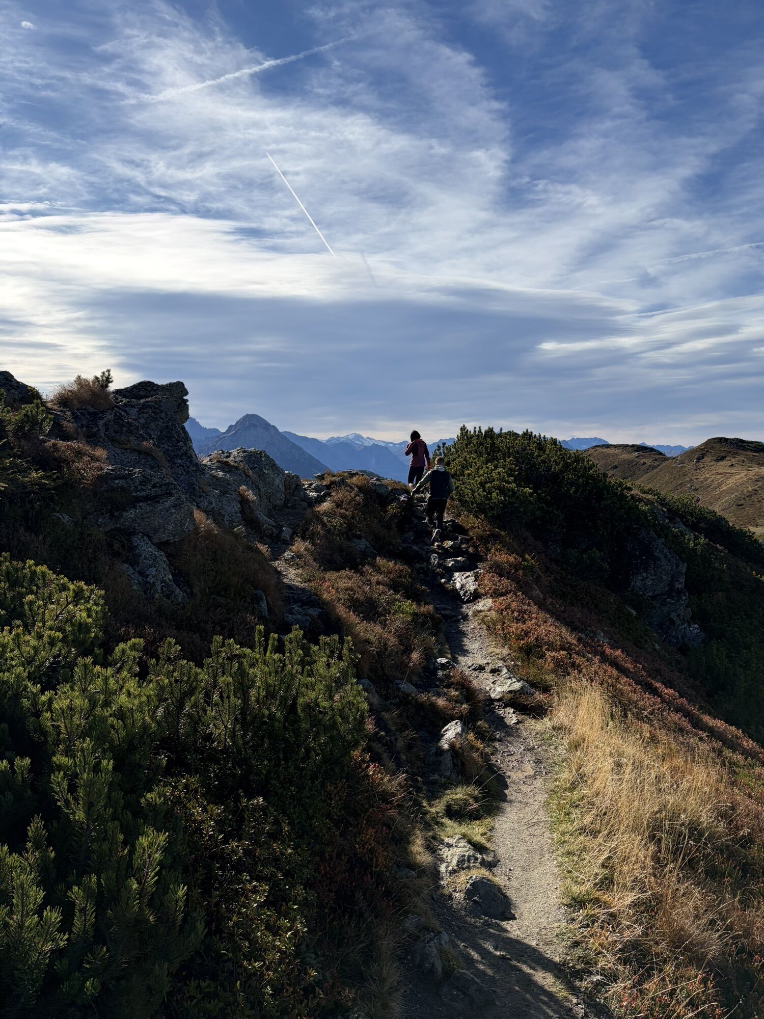
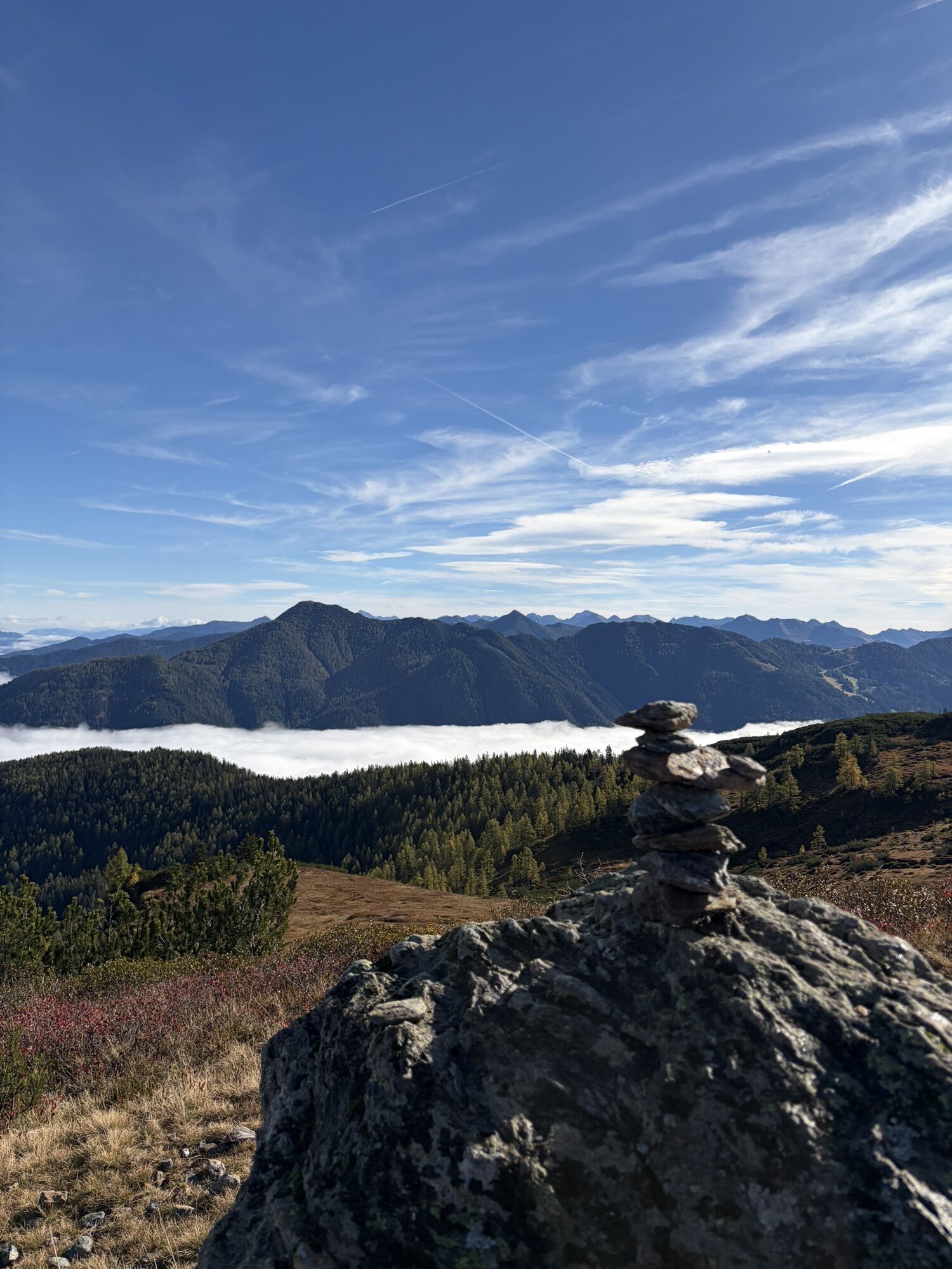
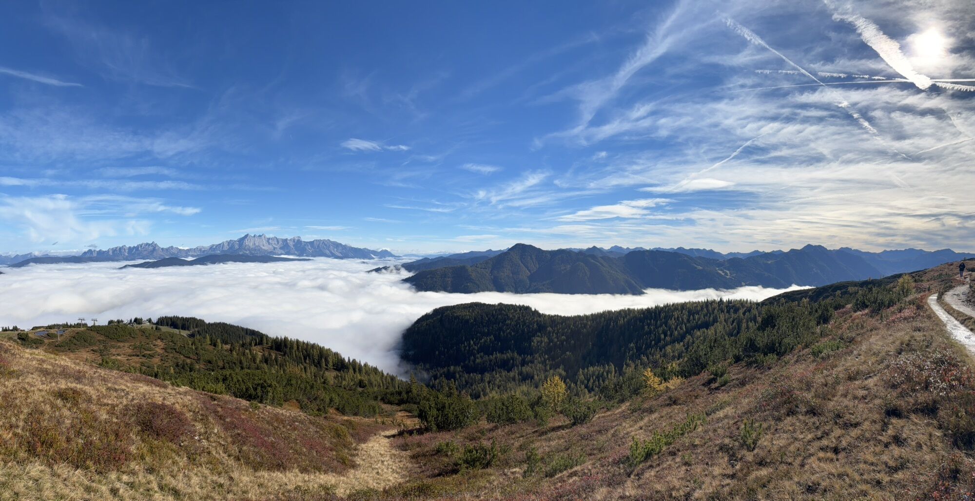
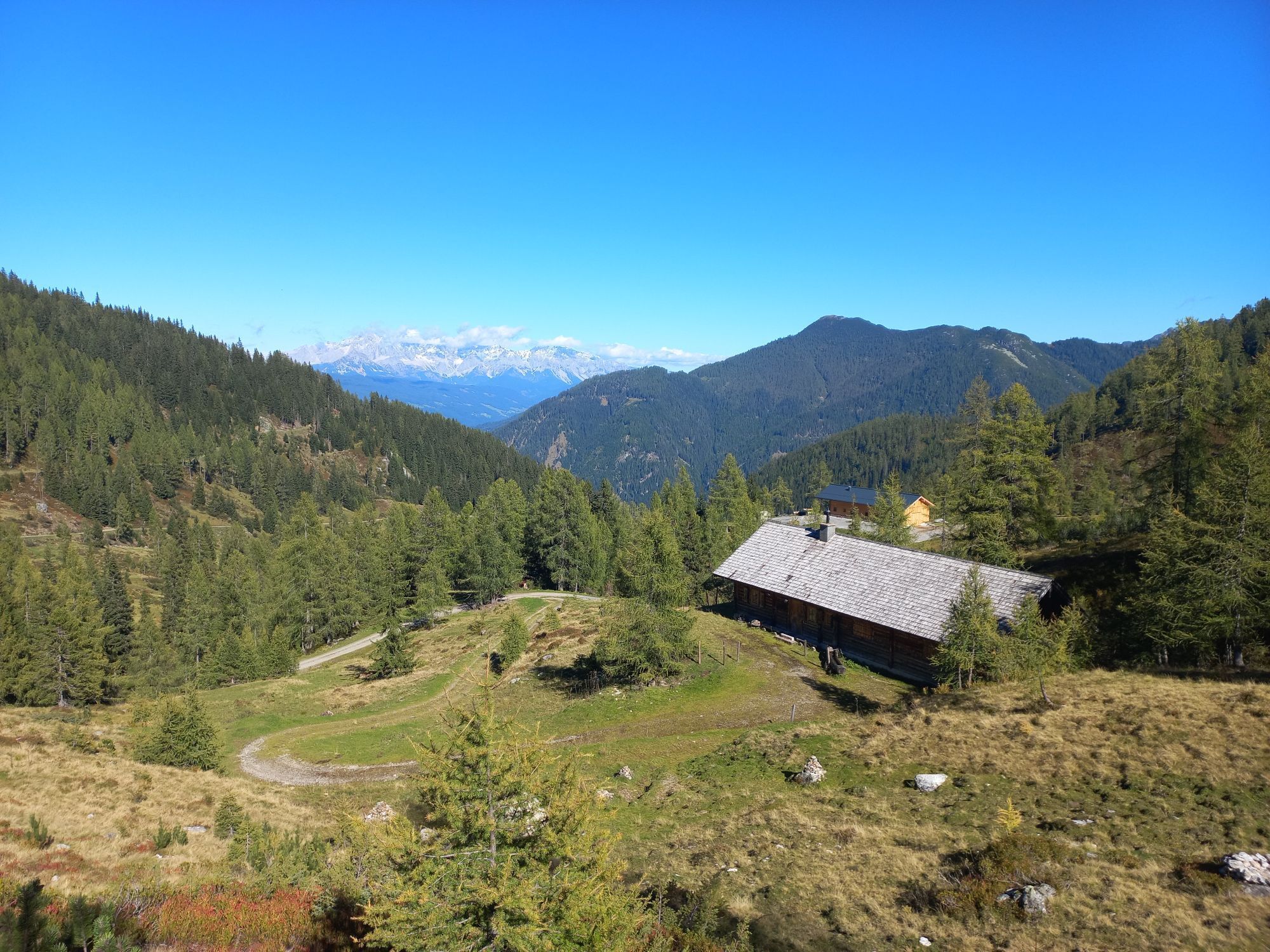
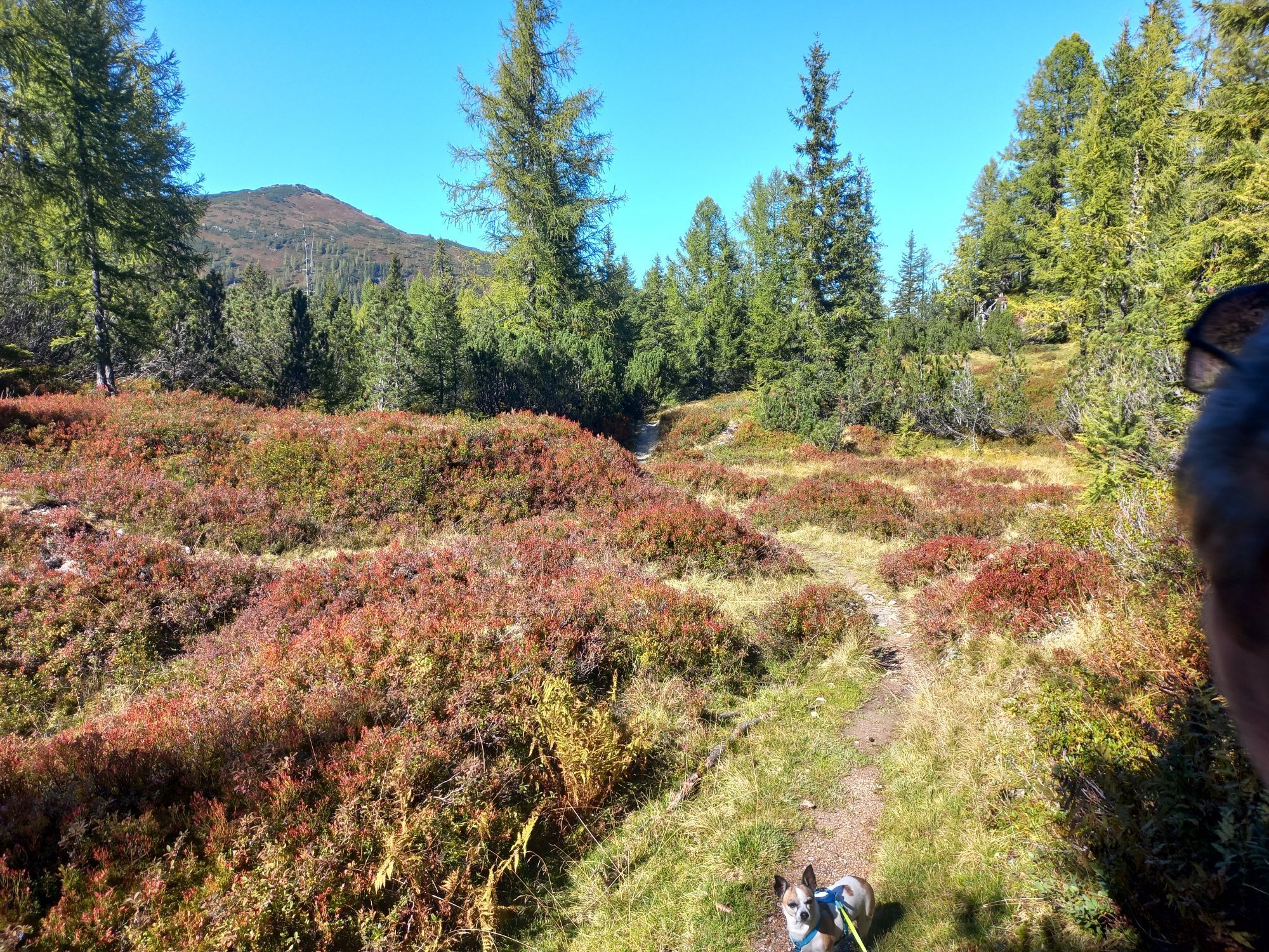
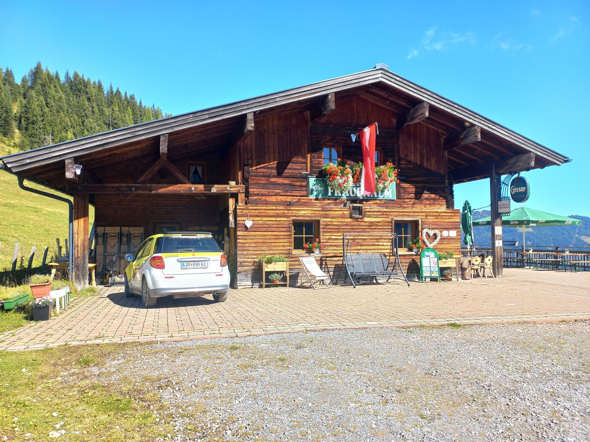
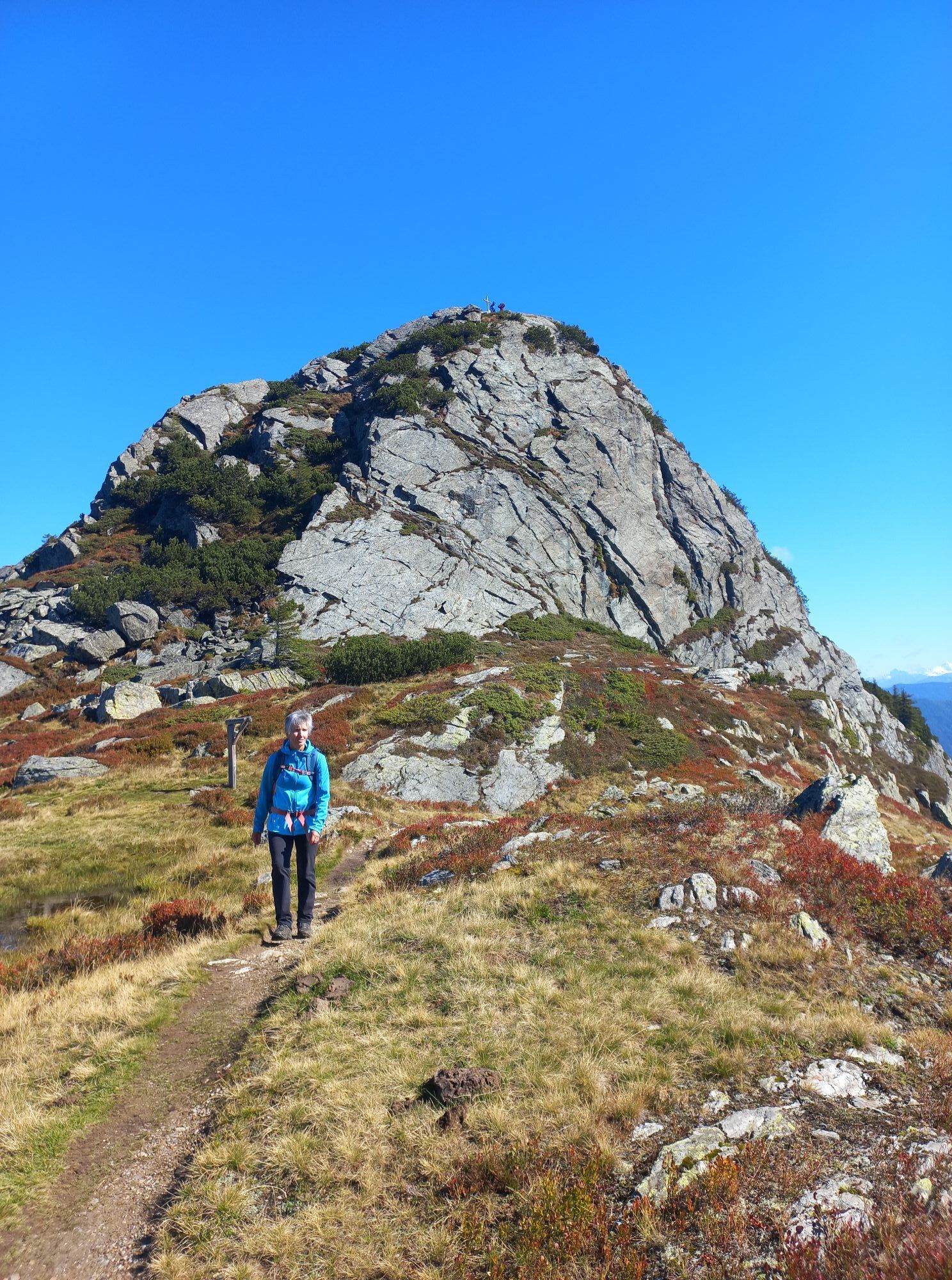
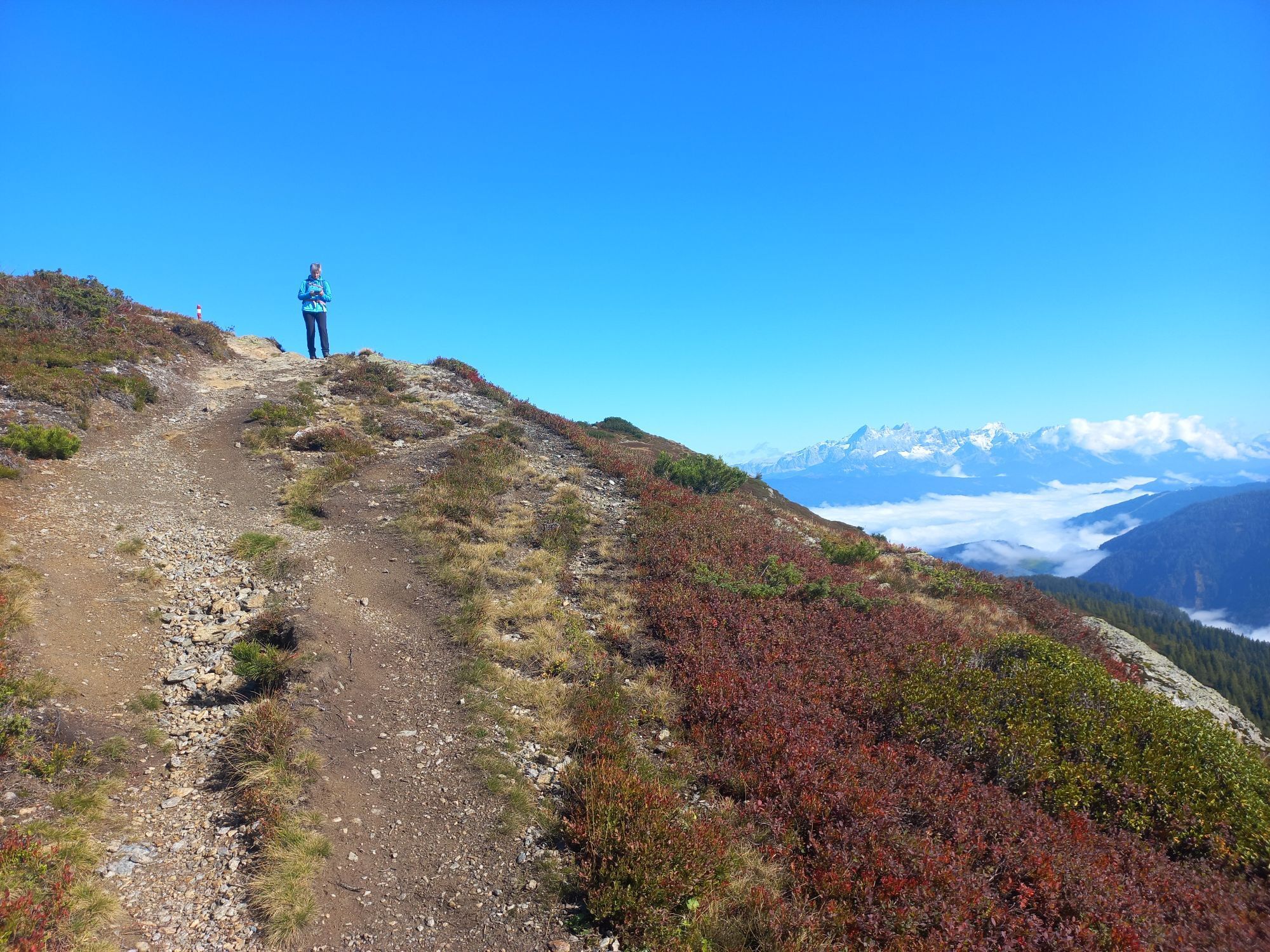
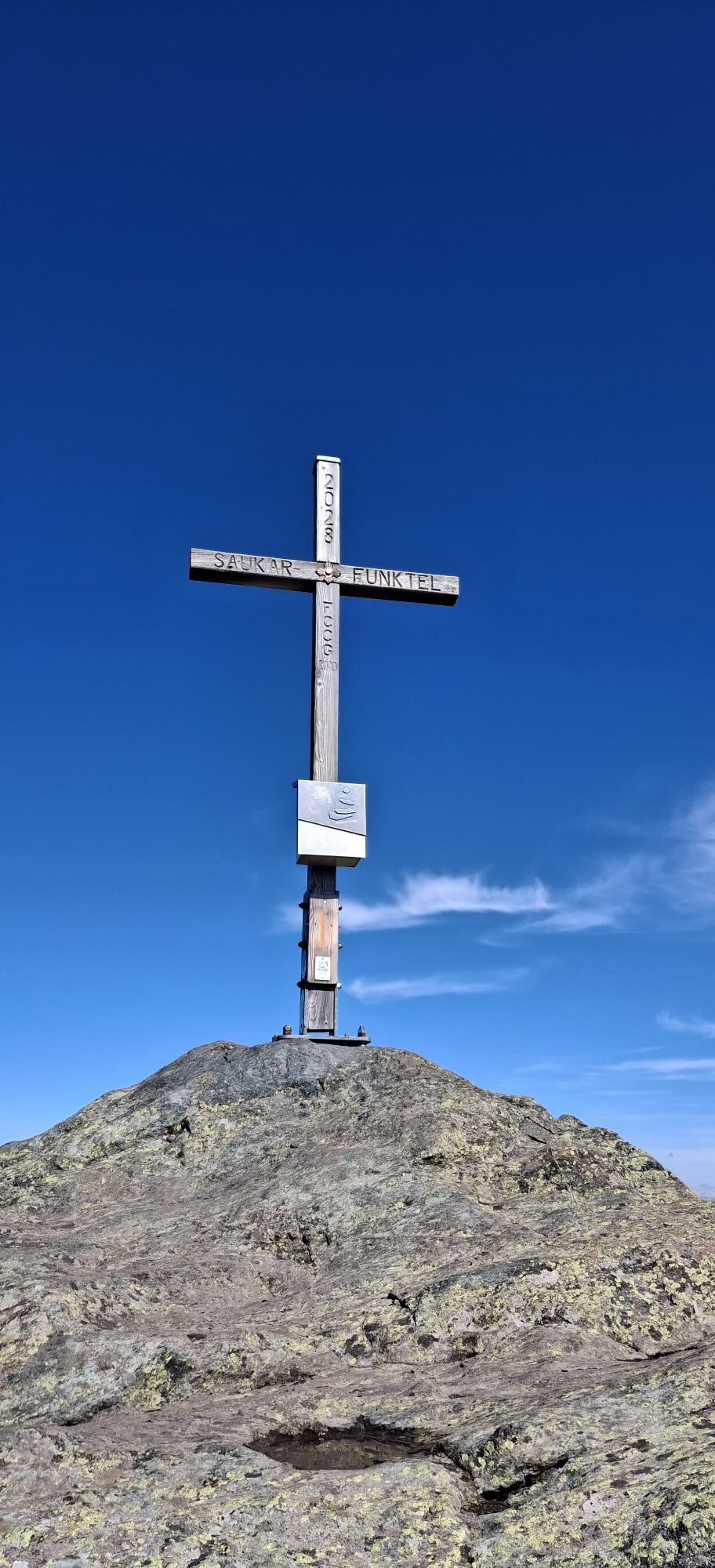
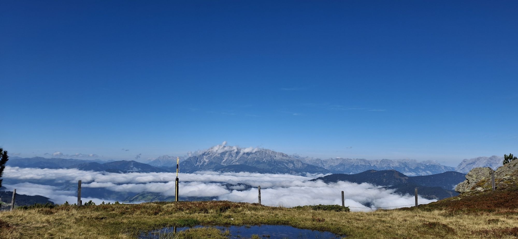
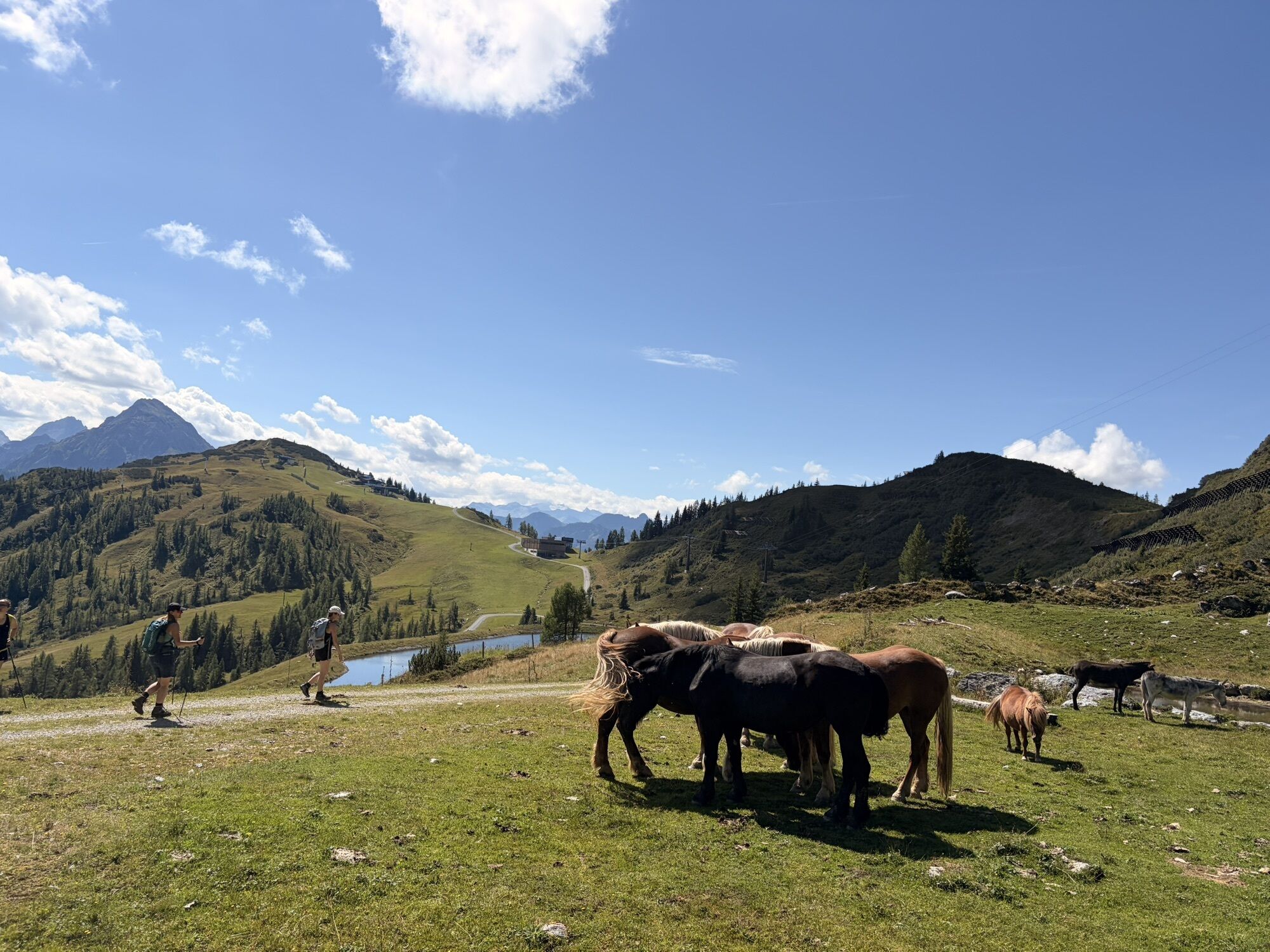
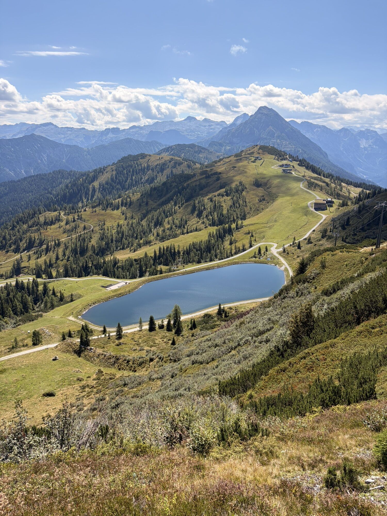
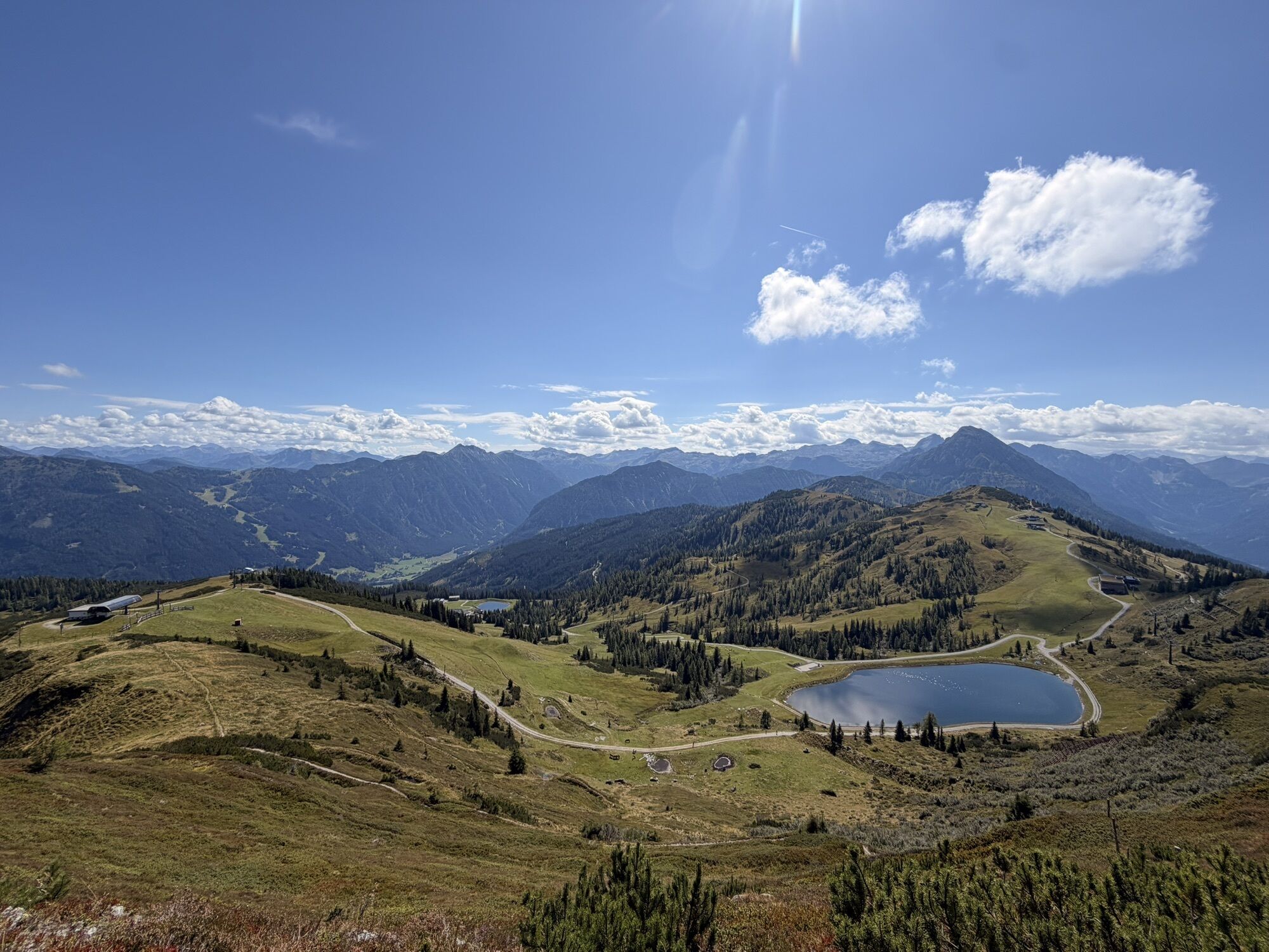
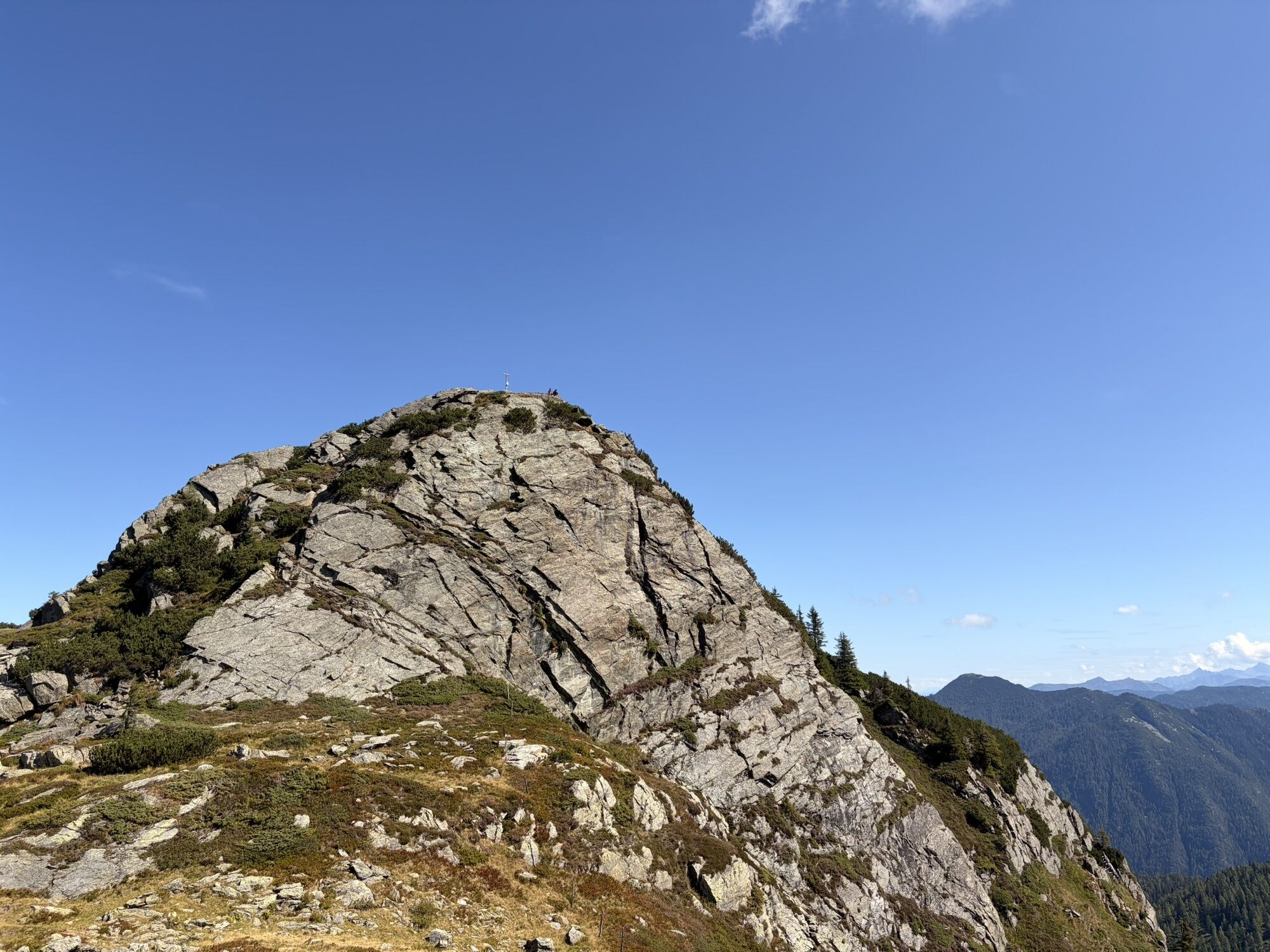
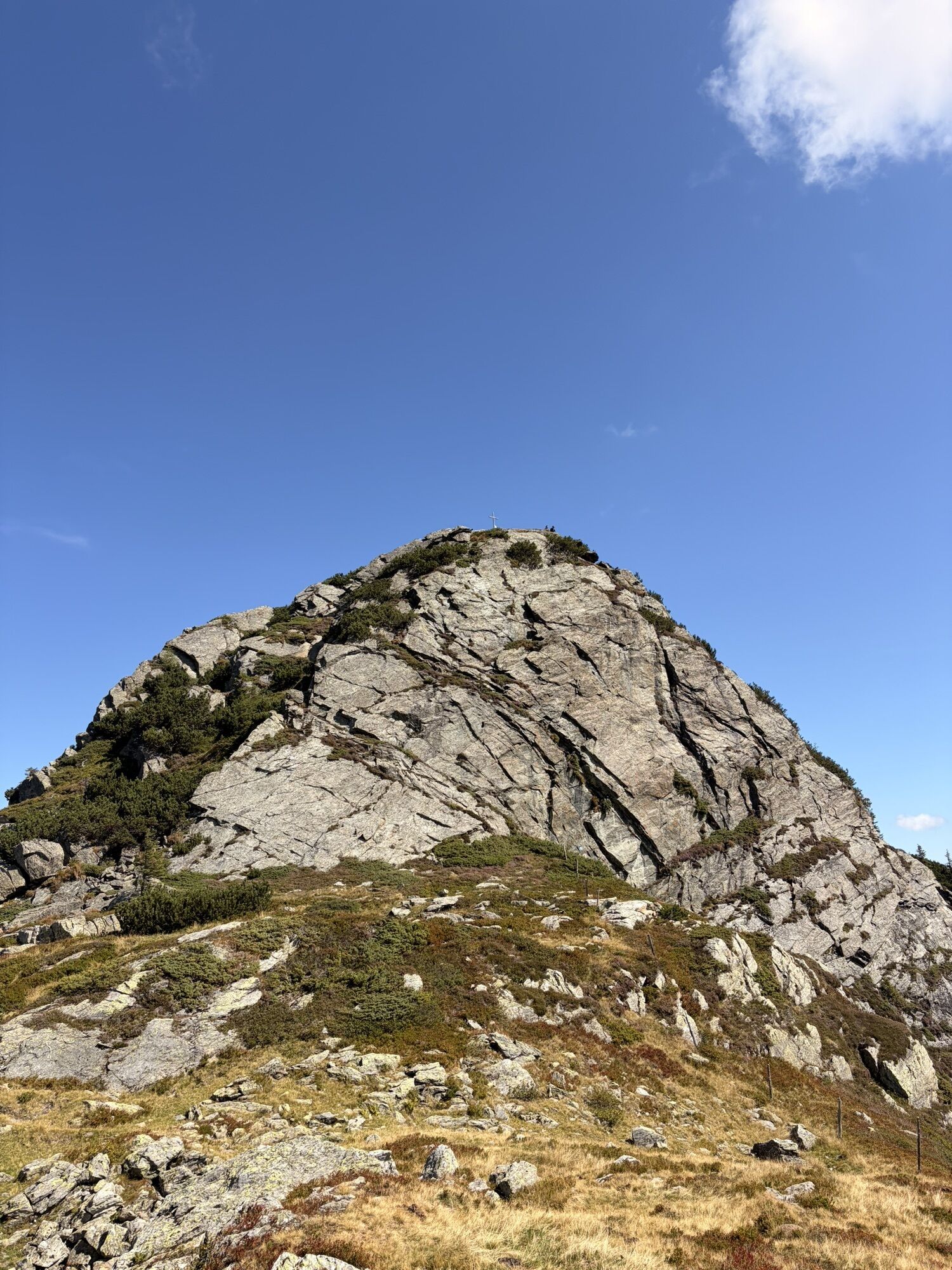
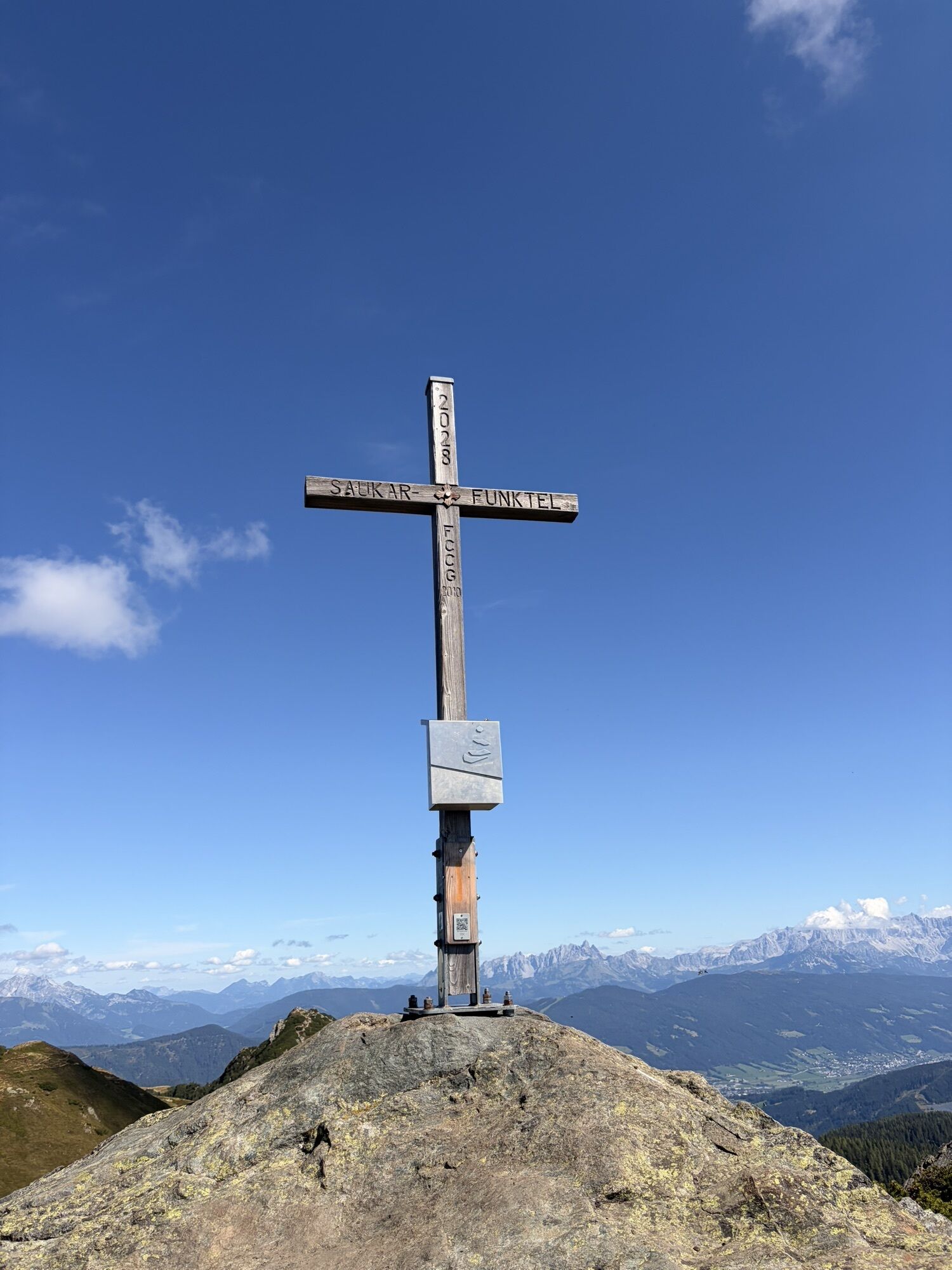
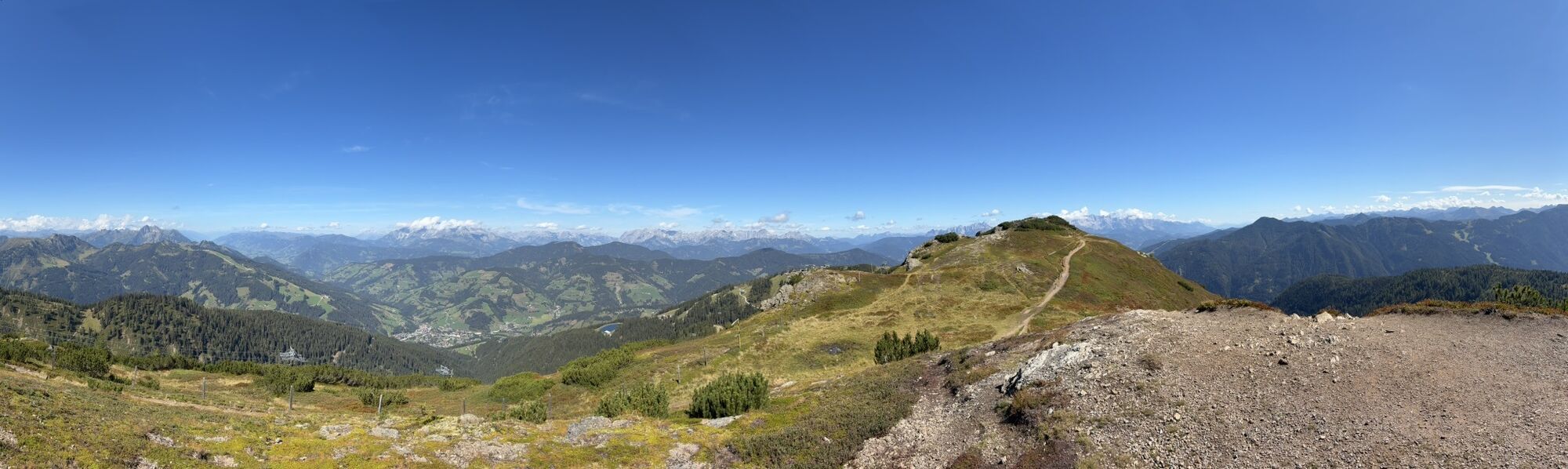
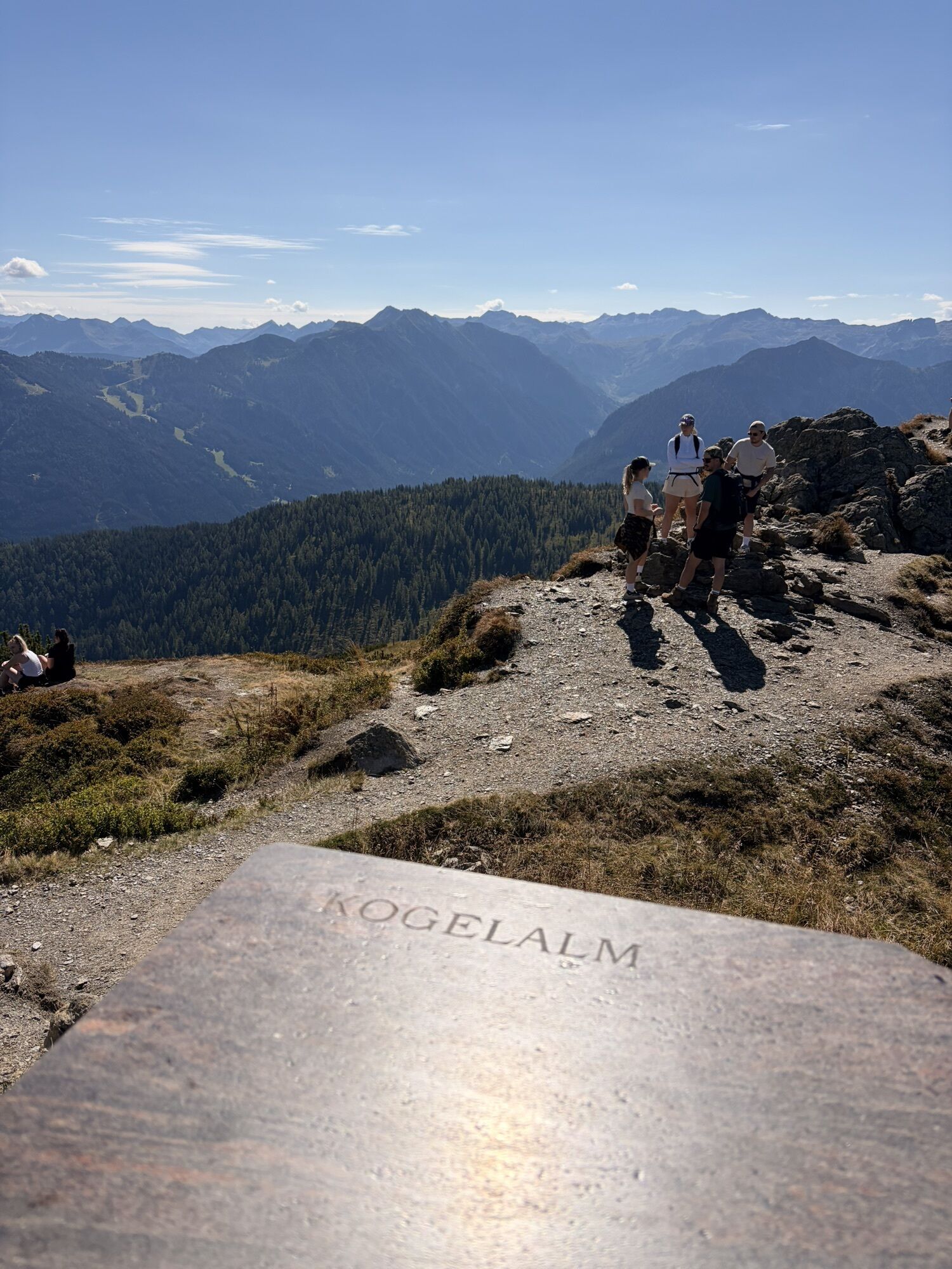
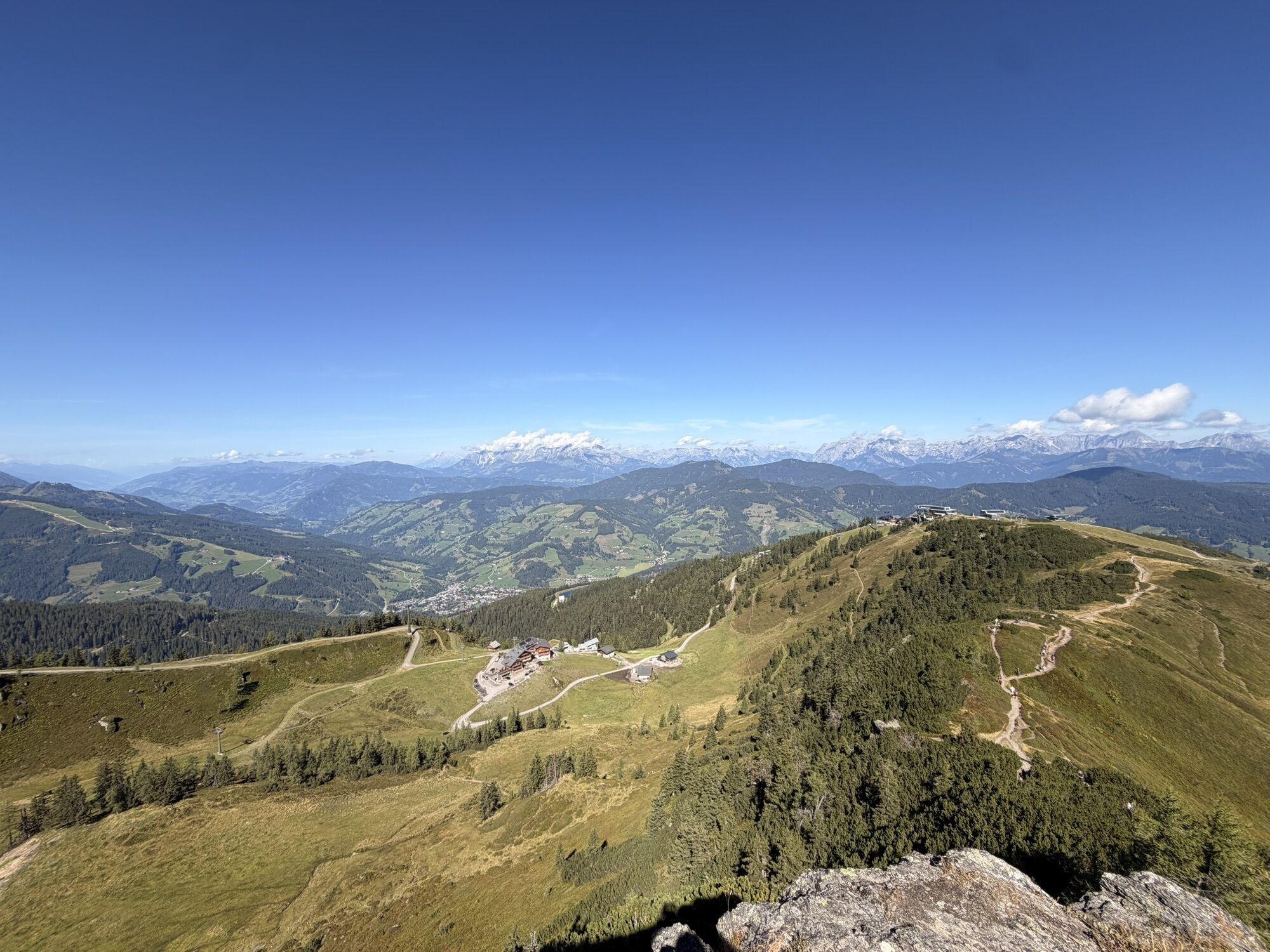
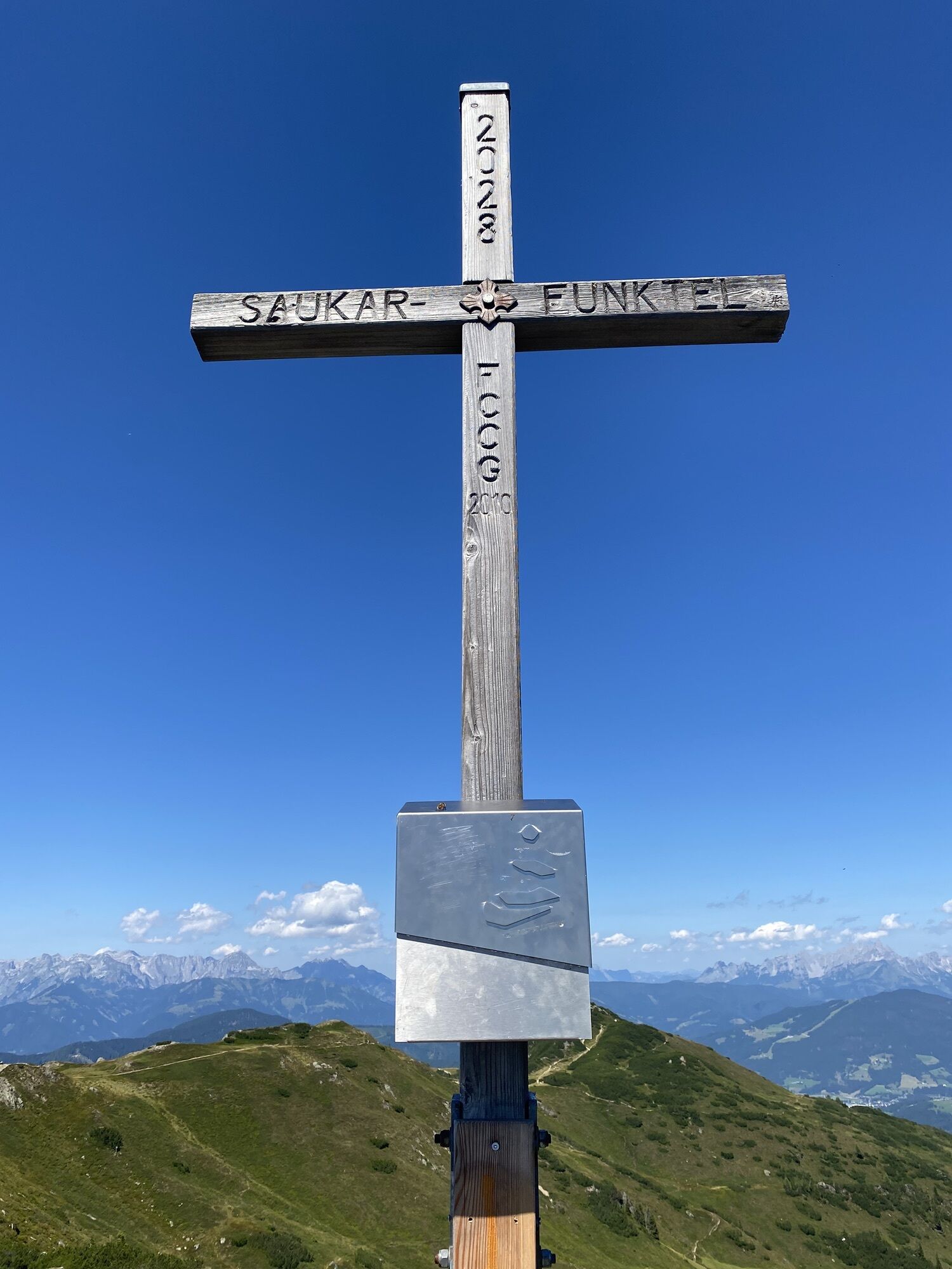
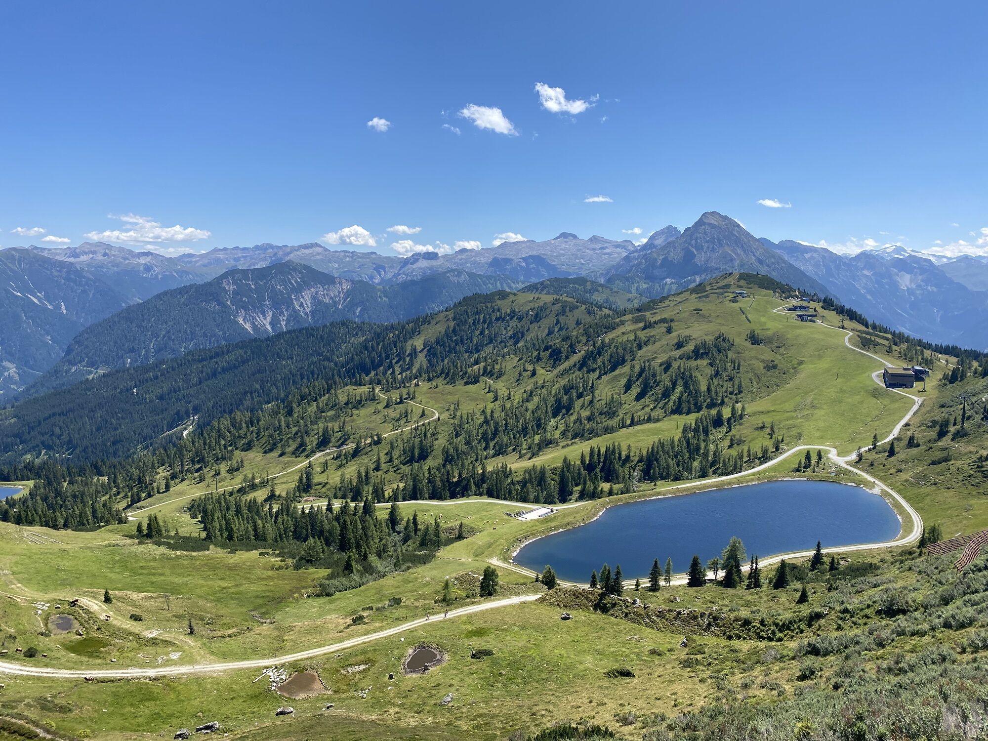
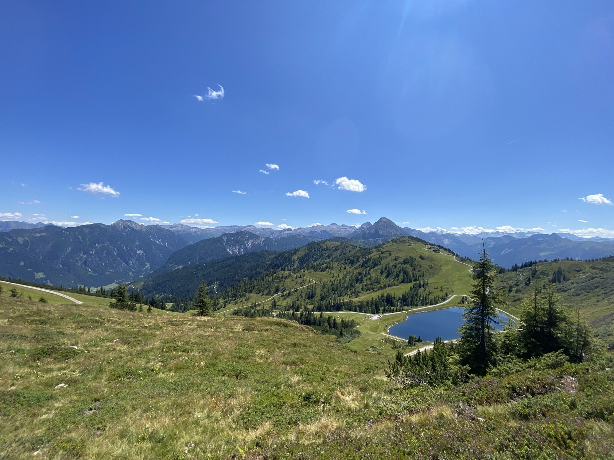
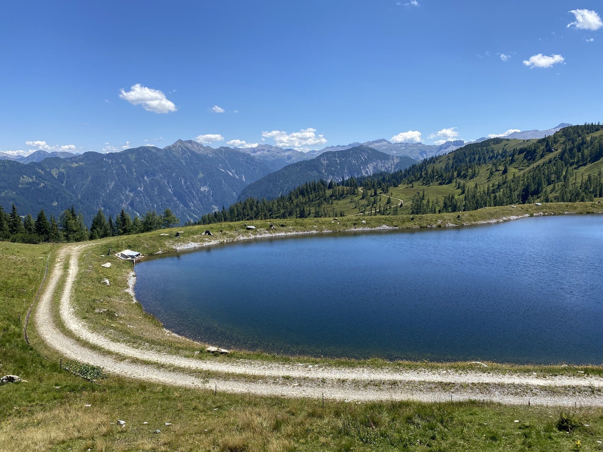
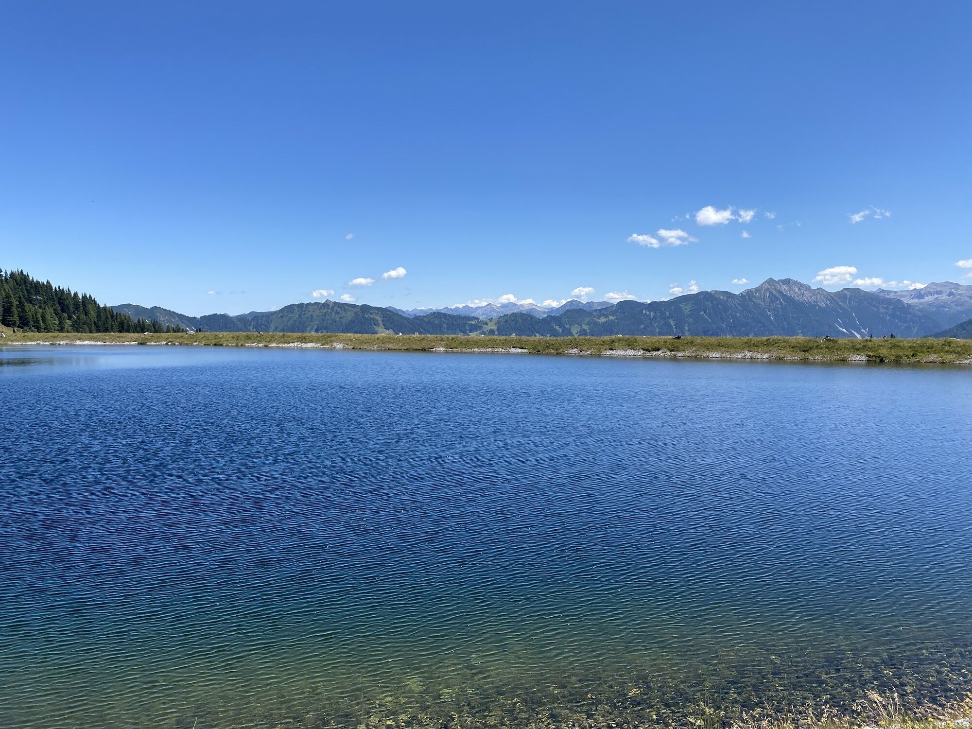

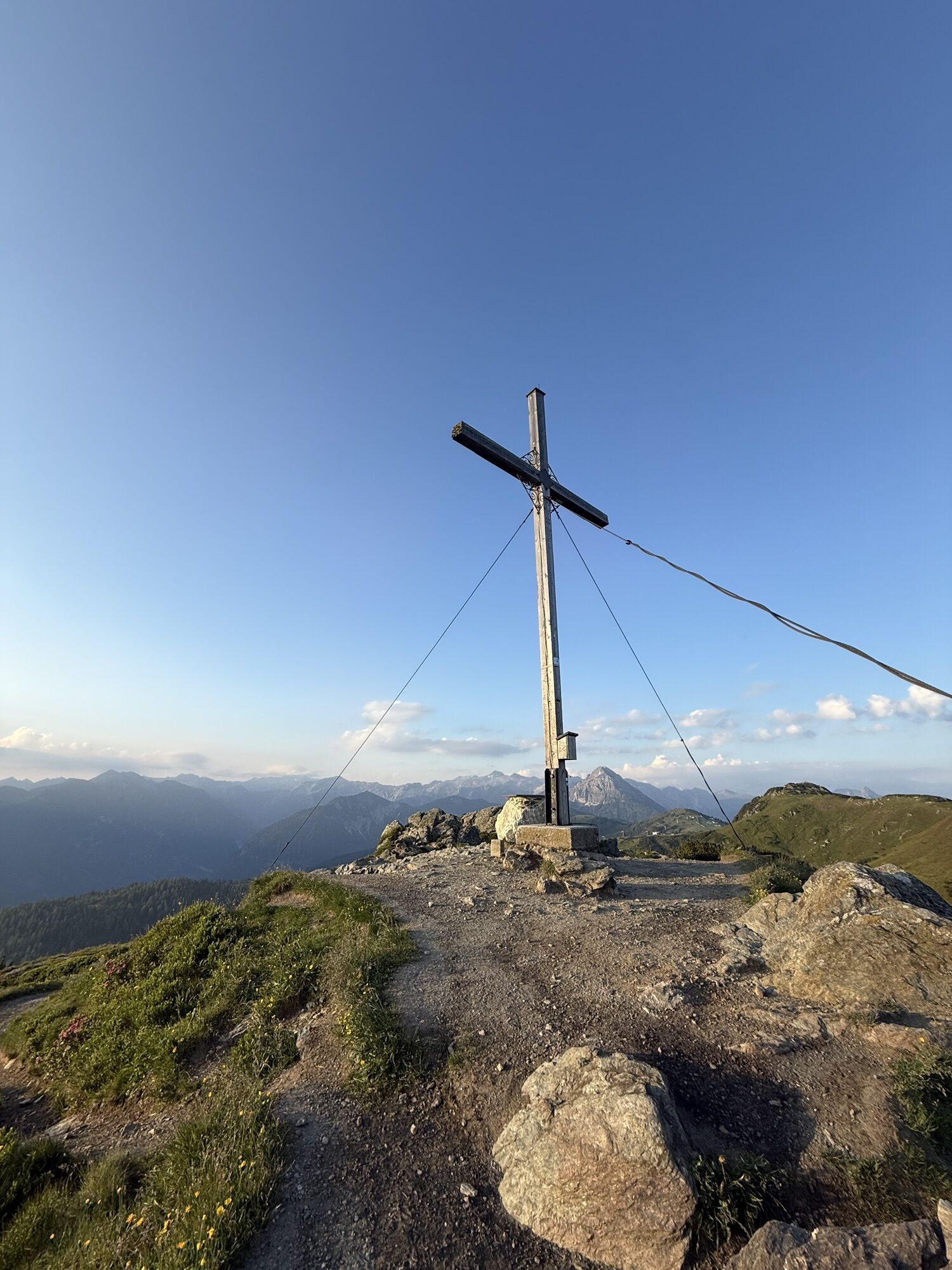
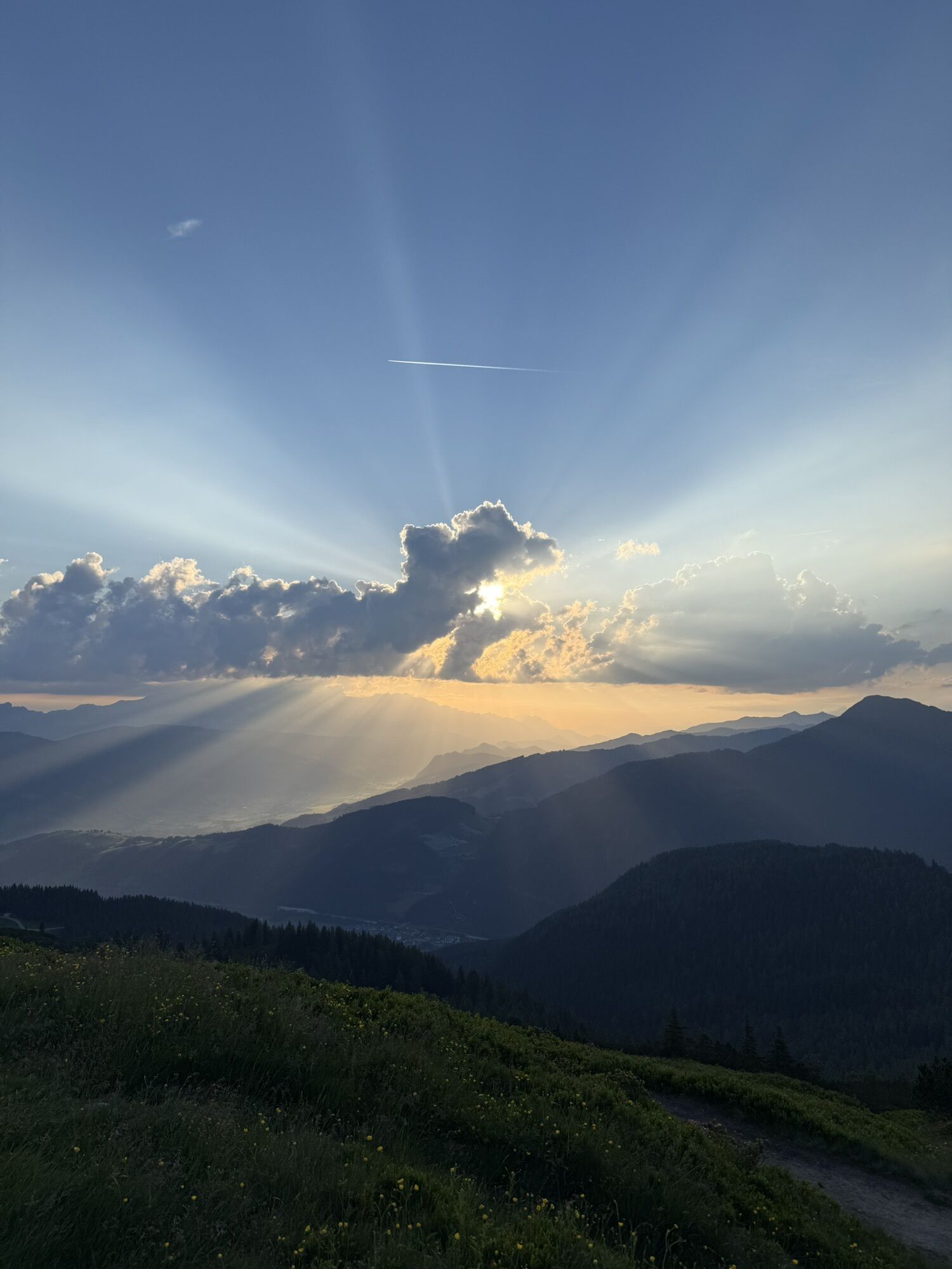
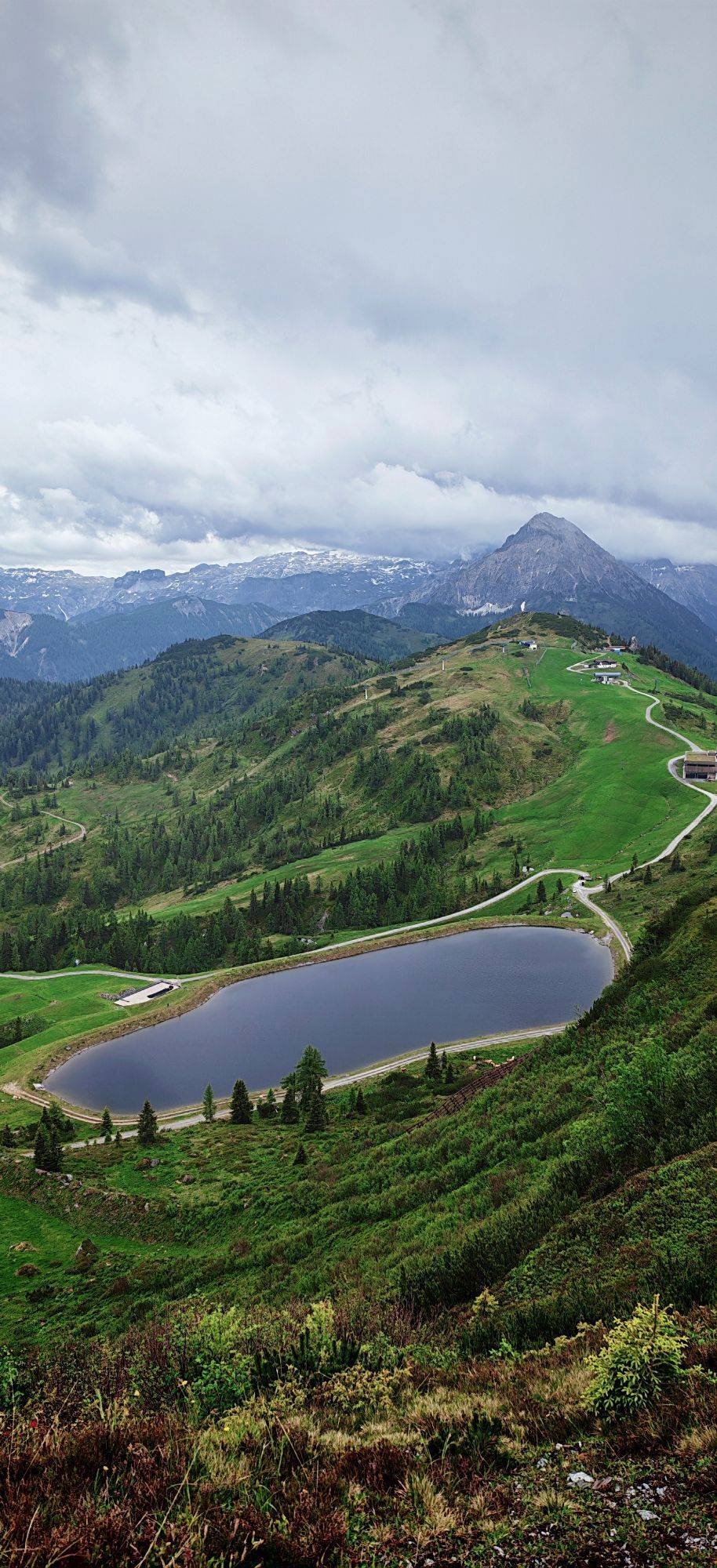


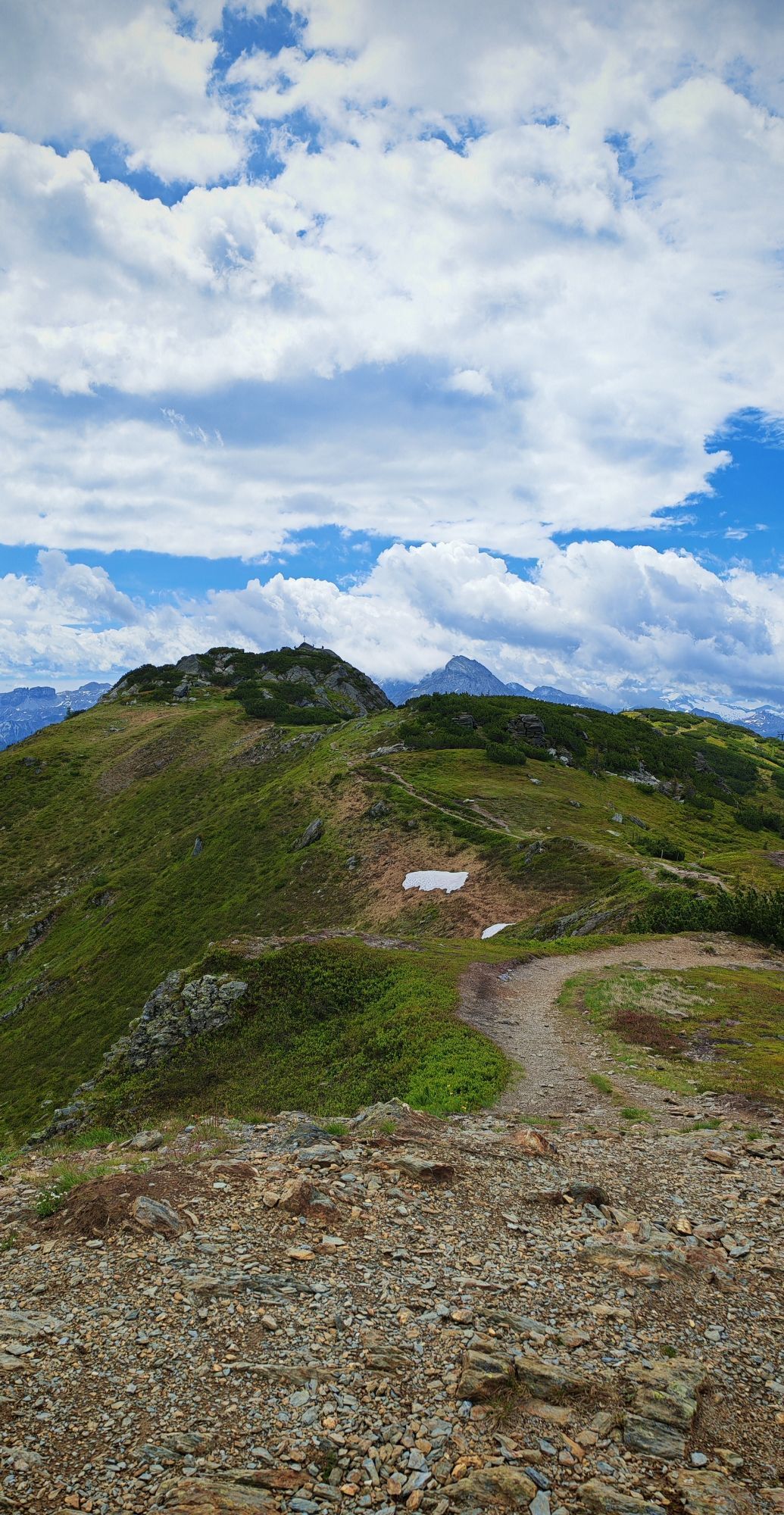
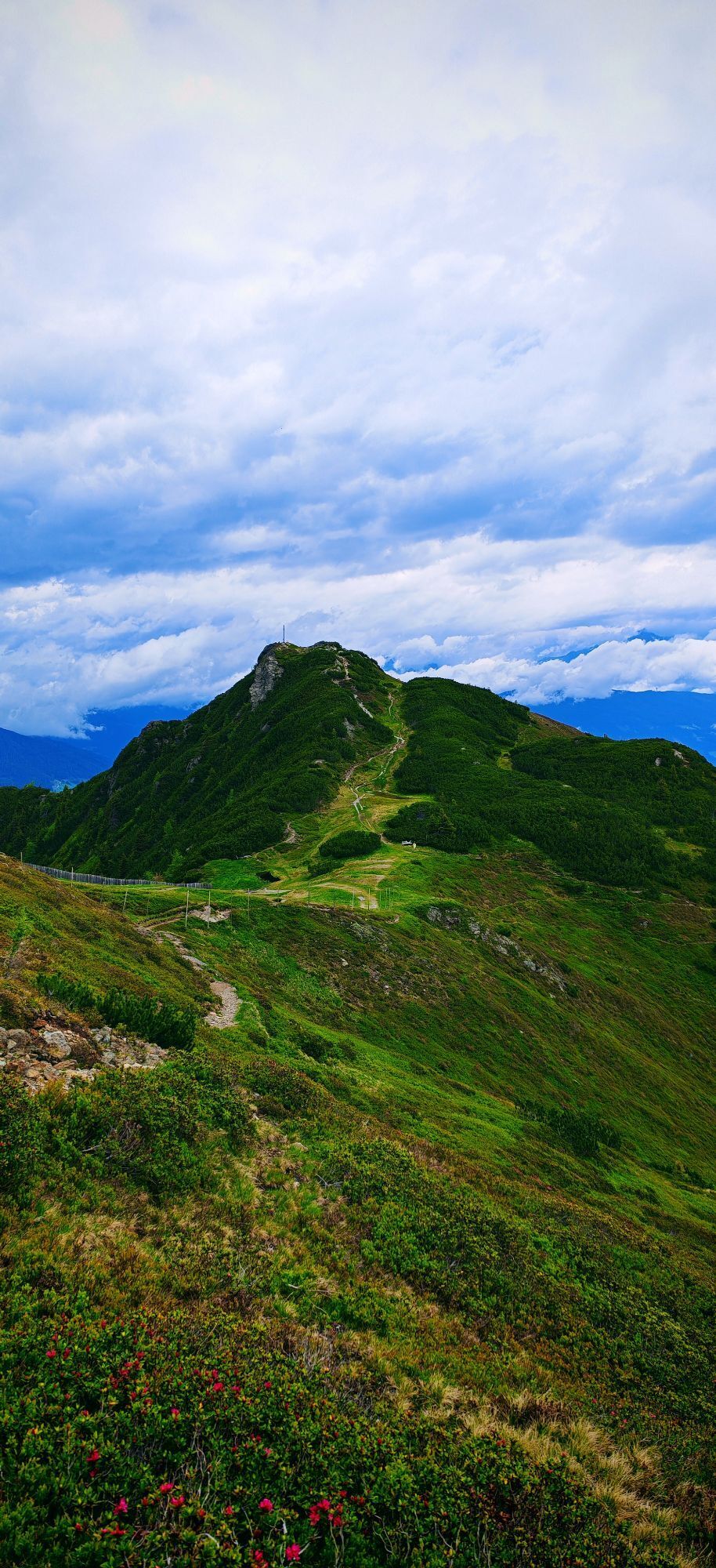
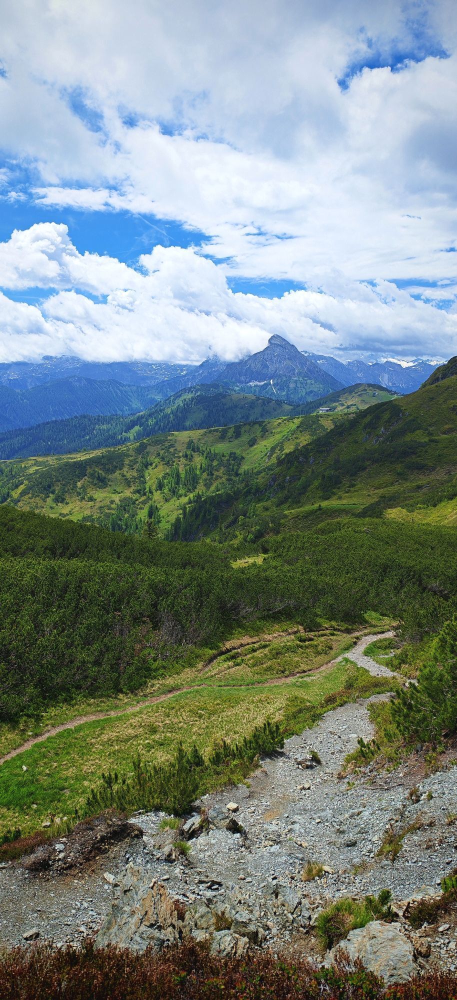
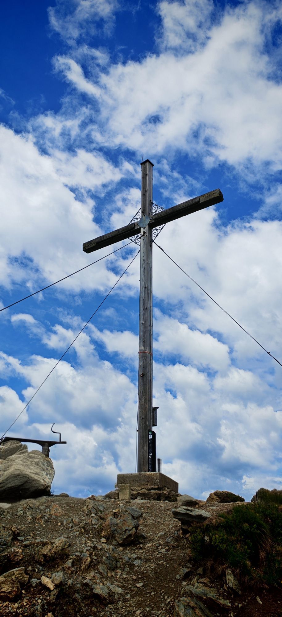
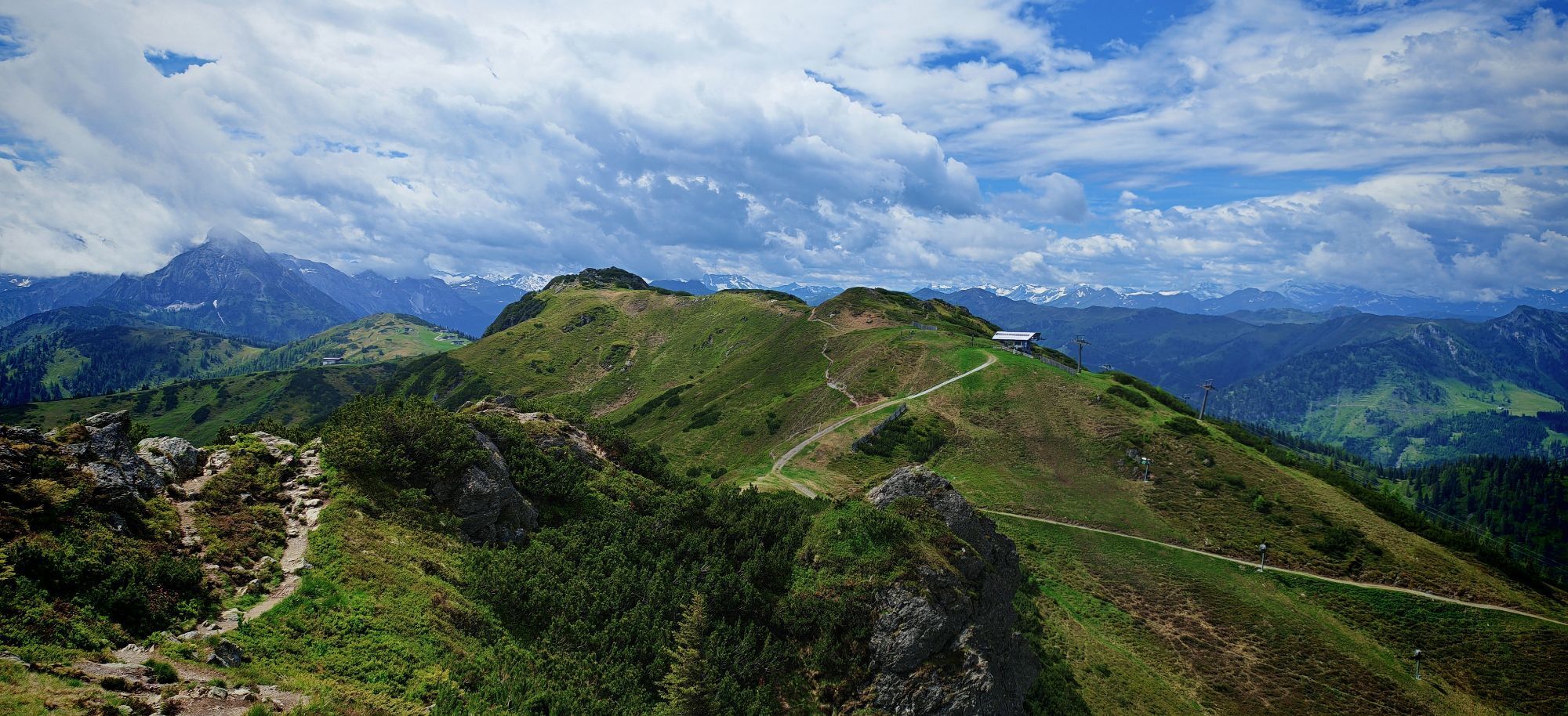
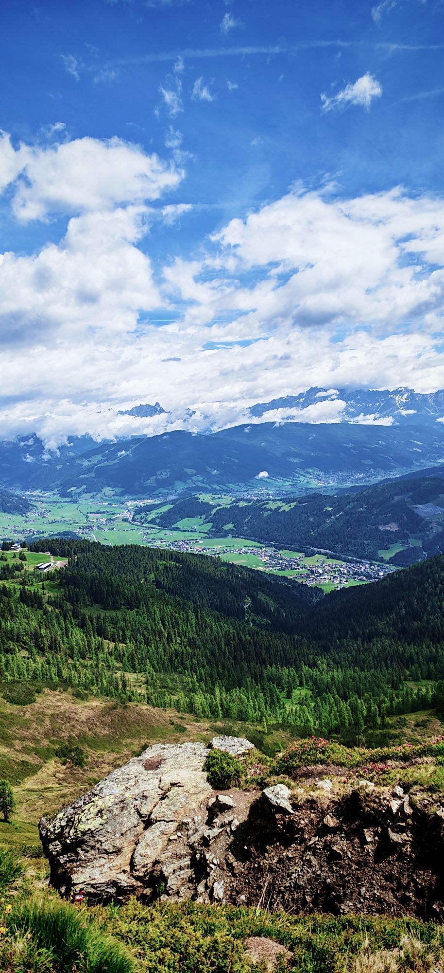
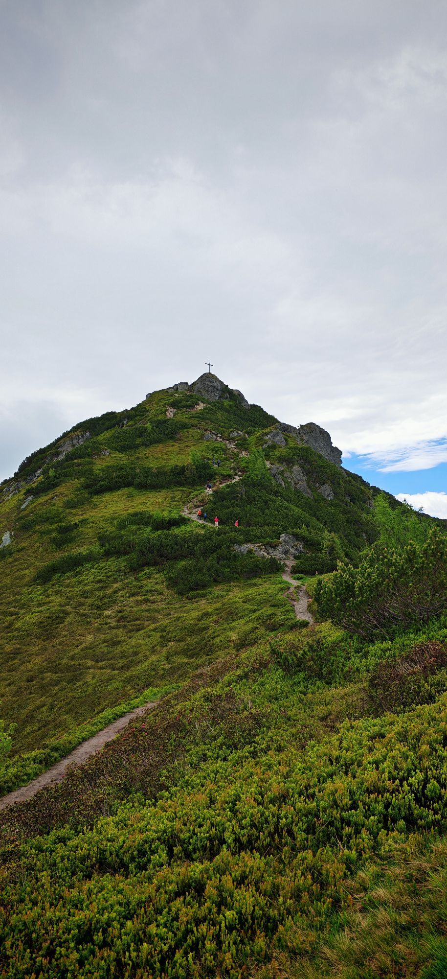

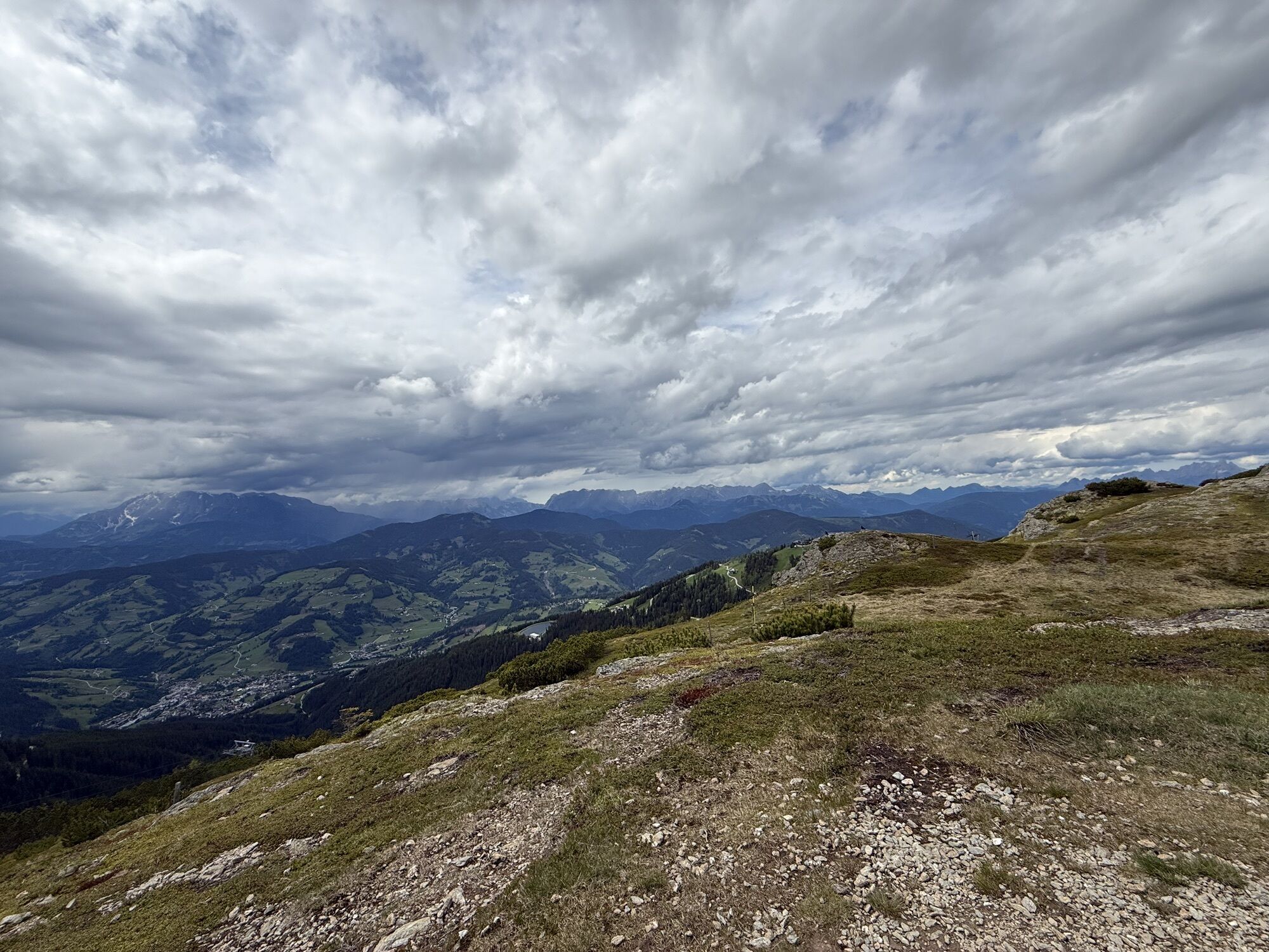
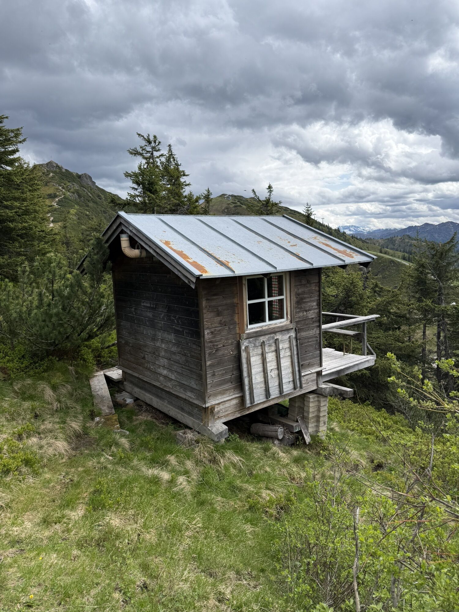
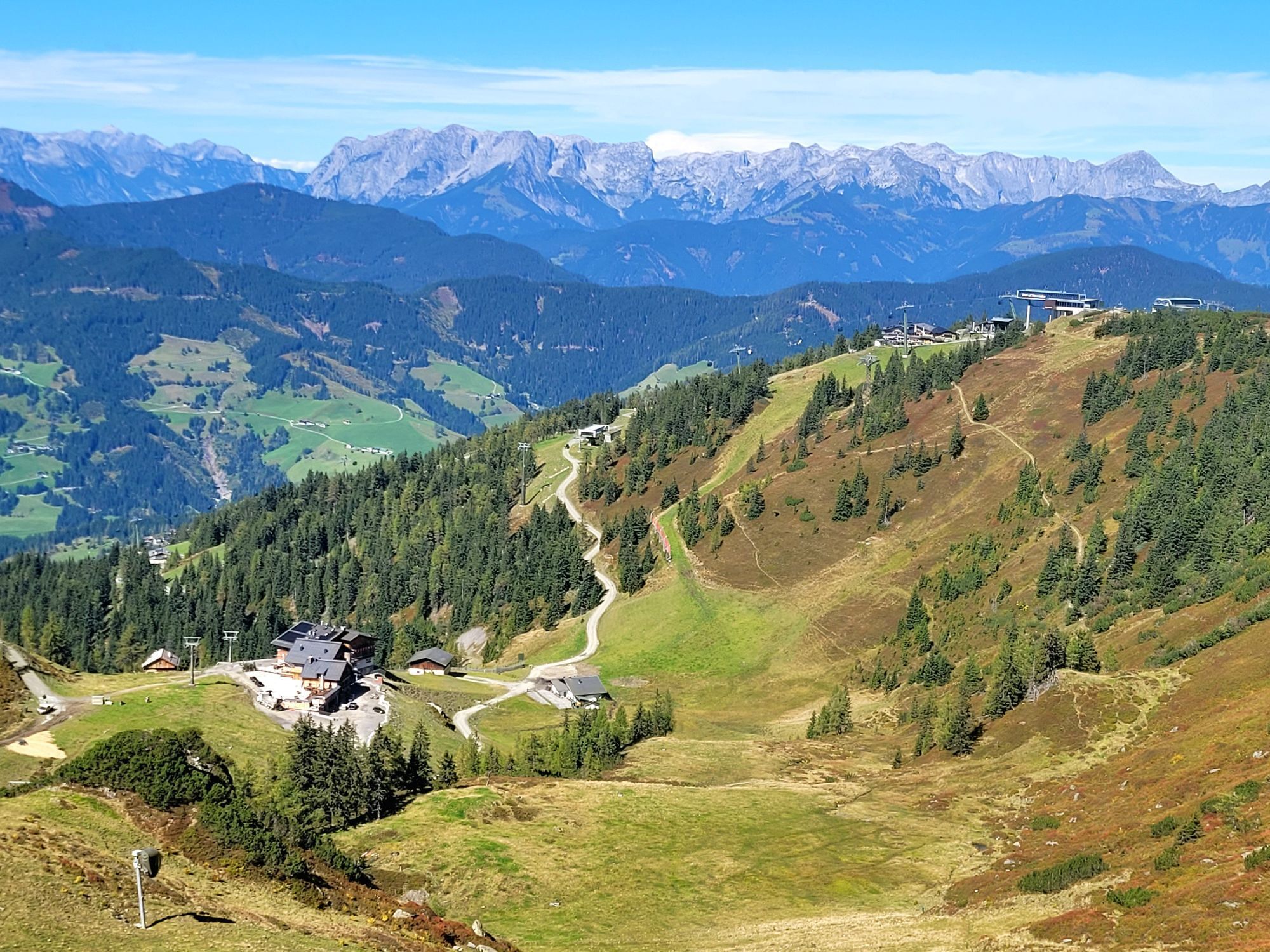
On this beautiful route, you have the opportunity to celebrate three summit victories in one day. Starting from the home mountain of the Flachau locals, the Grießenkareck, it continues on to the Saukarfunktel...
On this beautiful route, you have the opportunity to celebrate three summit victories in one day. Starting from the home mountain of the Flachau locals, the Grießenkareck, it continues on to the Saukarfunktel and then the Saukarkopf. Afterwards, a cozy rest with a hearty snack in one of the managed huts is more than deserved.

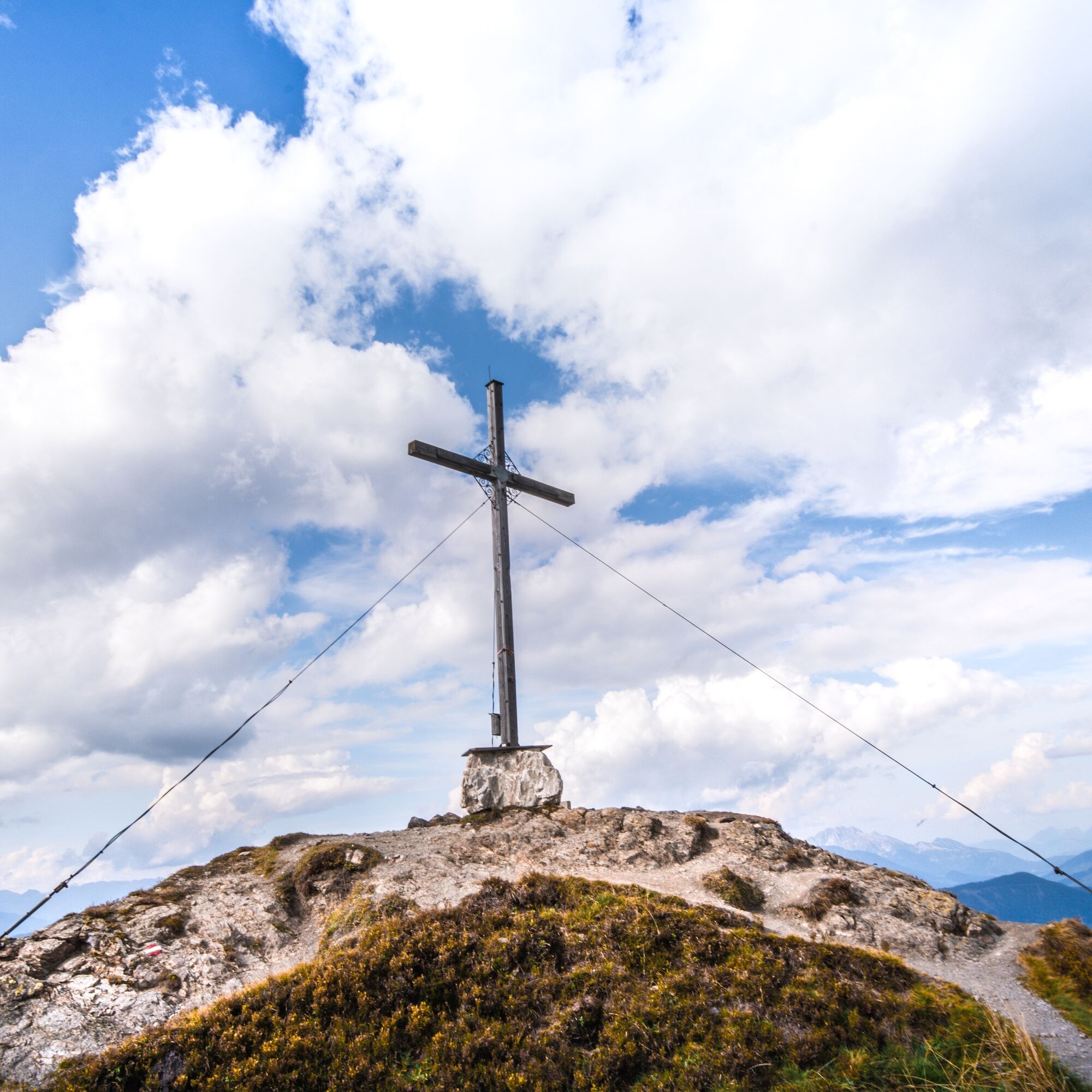
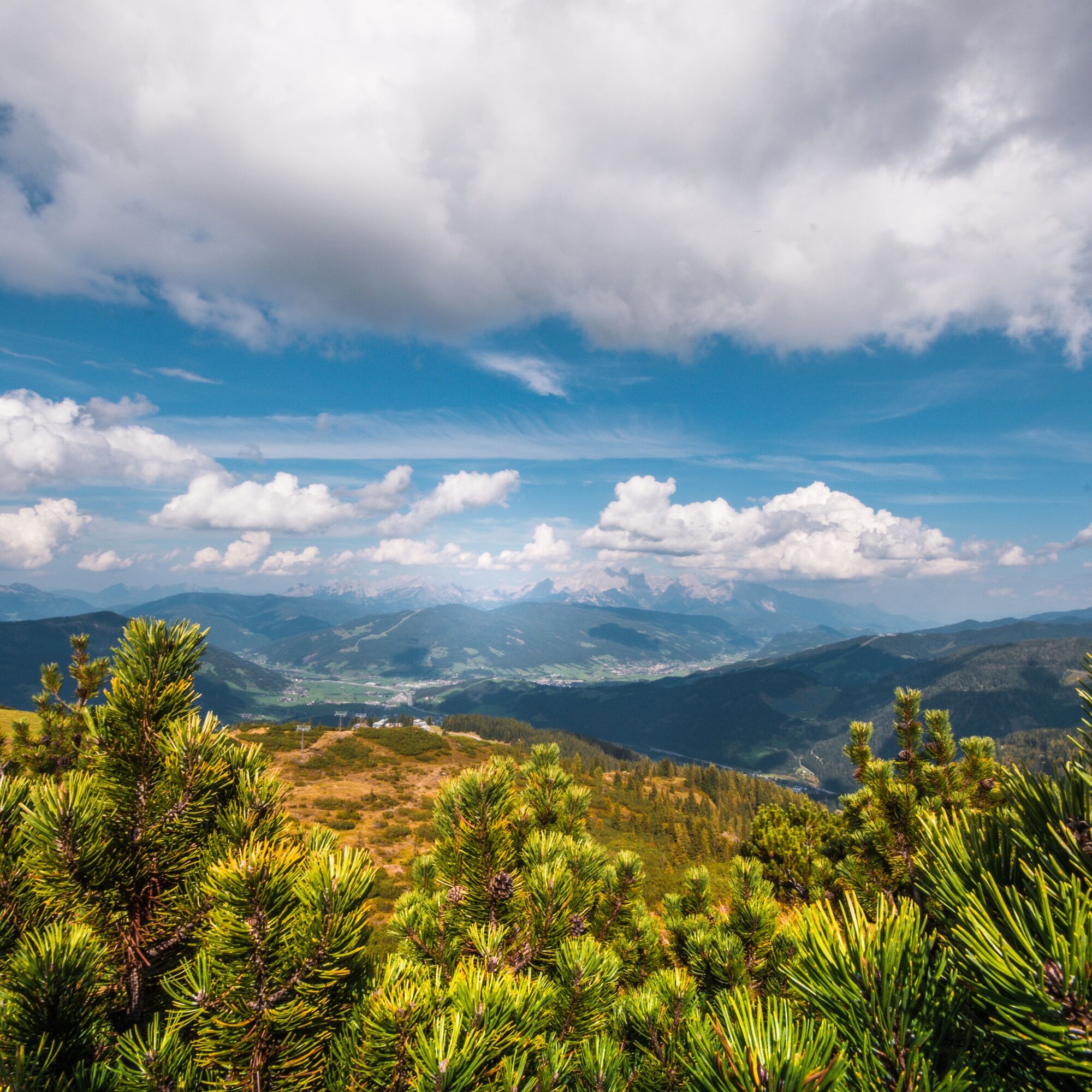
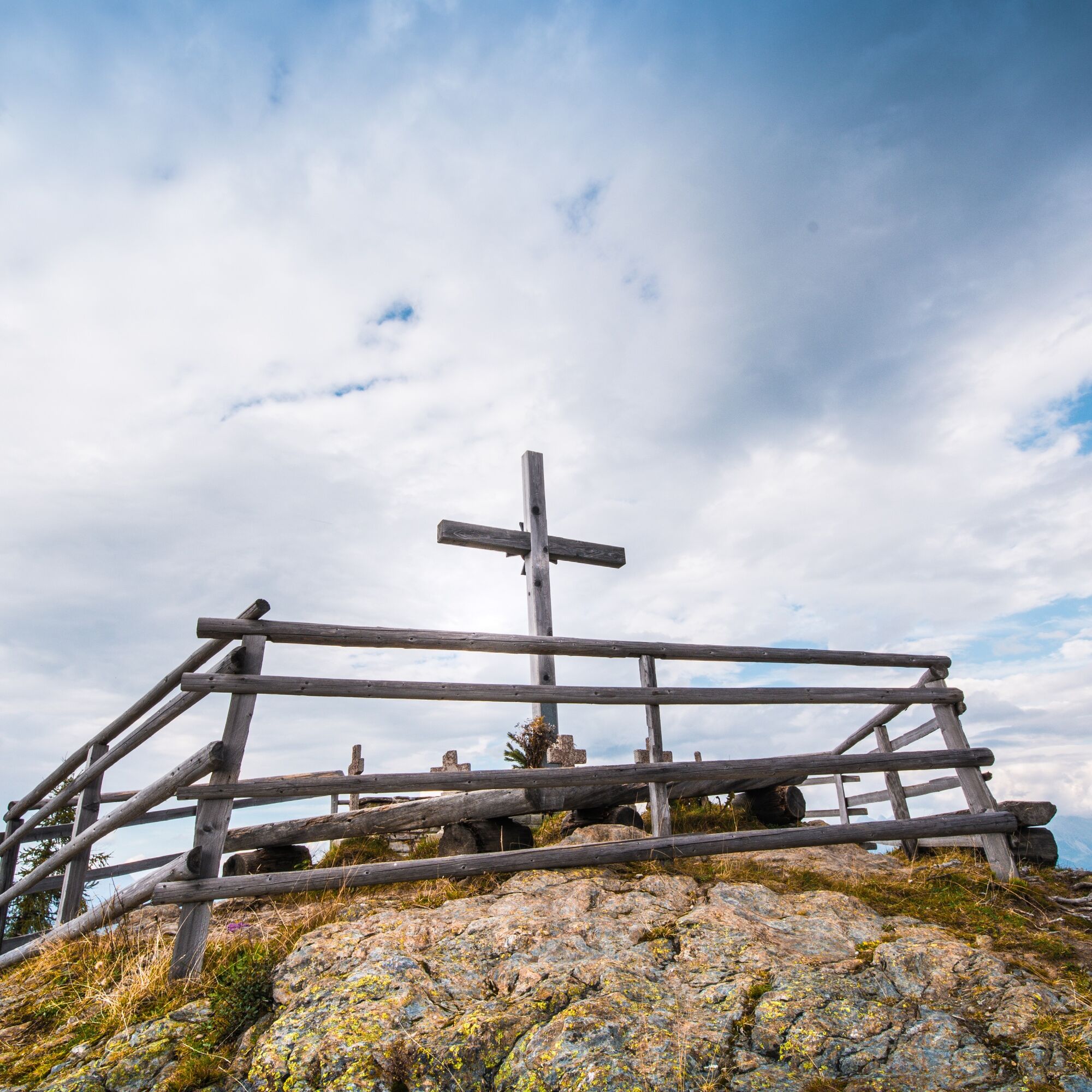
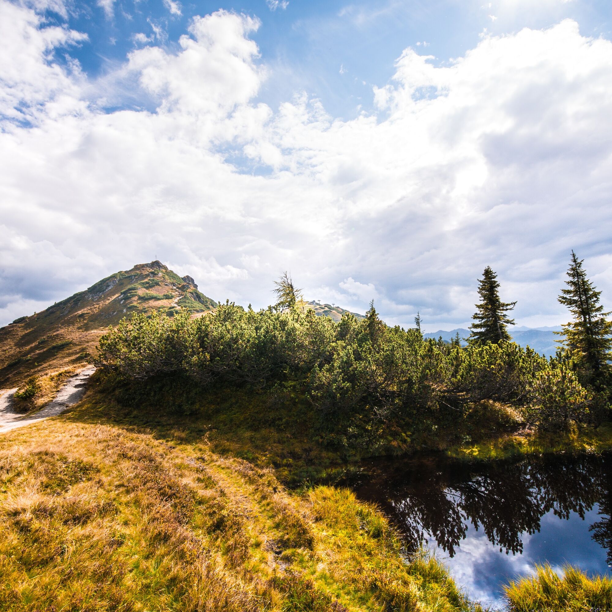
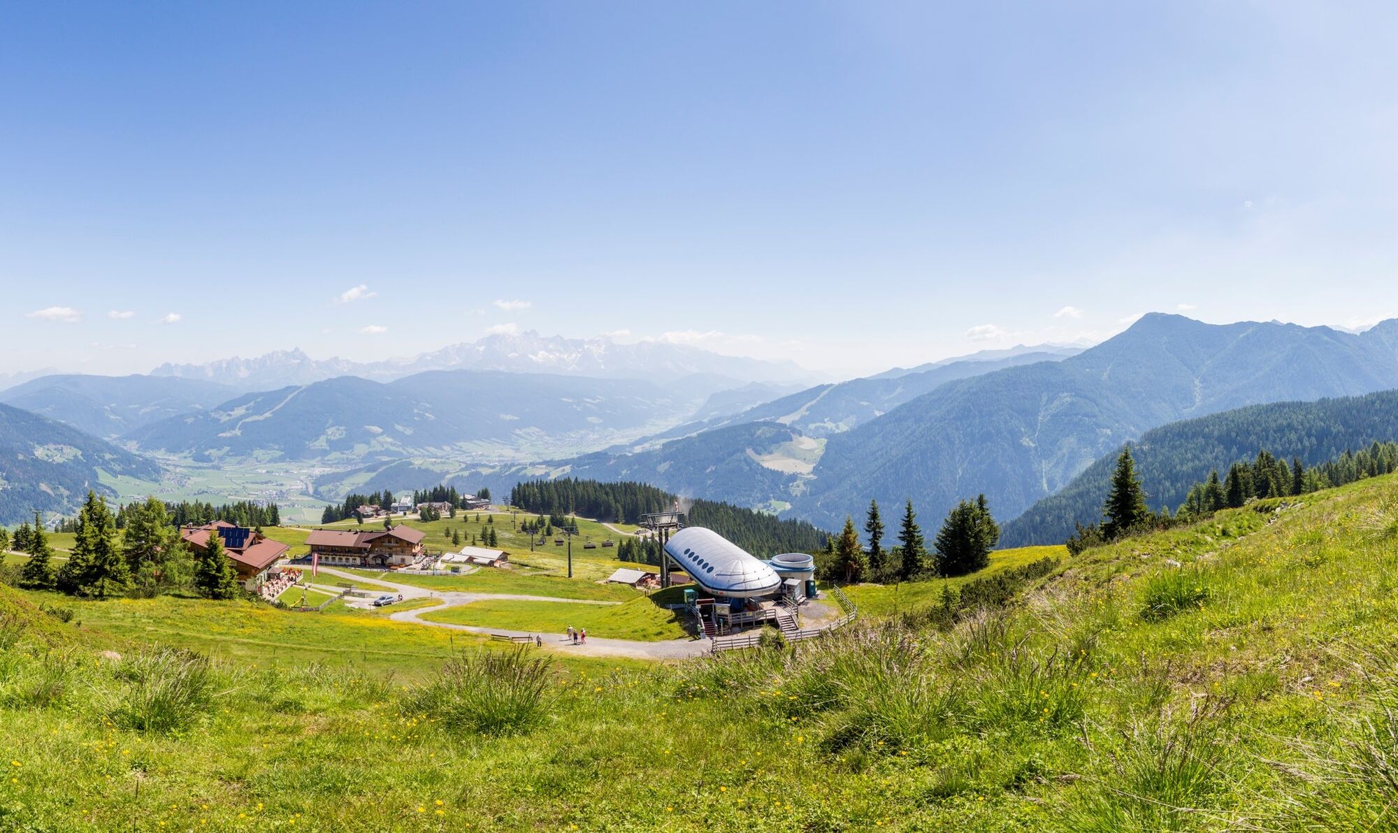

The route starts at the mountain inn Latschenhof (access possible with the Flachau Starjet 1 + 2 cable cars - please note the operating times of the cable cars). Above the mountain inn, turn onto hiking trail no. 41 - past the war memorial crosses and along the "Schneid" to the Grießenkareck (1991 m) - continue over the Saukarfunktel (2028 m) to the Saukarkopf (2014 m) - turnoff Frauenalm no. 41 - at the fork in the path to Frauenalm, turn left onto no. 45 - back to the mountain inn Latschenhof.
Those who want to do a shorter circular hike can turn left after the Grießenkareck (trail no. 45) and hike back to the mountain inn Latschenhof.
Tak
Tak
Basic equipment for a hiker includes:
sturdy, high footwear with a grippy sole appropriate mountain clothing enough to drink snacks for in between sunglasses, possibly sunscreen or rain protection mobile phone hiking poles first aid kitPlanning & preparation: A precise route plan is recommended before every mountain tour. Information from locals like mountain guides or hut hosts as well as hiking maps will help you.
Check the weather forecast: A must-do before every hike. The weather can change surprisingly fast in the mountains. Observe the current weather conditions at: www.zamg.ac.at.
Important tips:
do not overestimate yourself manage your strength and endurance well assess surefootedness and lack of fear of heights do not dislodge stones turn back in time in case of weather changeMountain rescue number: The telephone number 140 is the emergency number for alpine accidents in Austria
Flachau town centre - ascent with the cable cars "Starjet 1 & 2"
Sportwelt bus to Flachau town centre/Starjet 1
From June to September, the Sportwelt bus is the ideal feeder and return service for your hiking tours throughout the entire region (Flachau, Wagrain-Kleinarl, St. Johann-Alpendorf, Radstadt, Altenmarkt-Zauchensee, Eben, Filzmoos, Obertauern, Großarl & Hüttschlag).
With the "Guest Mobility Ticket" you can use the Sportwelt bus free of charge. You will receive the ticket from your host.
More information can be found at: https://www.flachau.com/de/info/vor-ort/sportweltbus.html
Other bus connections: www.salzburg-verkehr.at
Parking is available in the centre of Flachau (BBF Center & Minigolf car park).
Summer lift operation Snow Space Salzburg - Flachau: www.snow-space.com
More about hiking in Flachau can be found at: https://www.flachau.com/sommer/wandern/
Information about the local weather: https://www.flachau.com/live/ or www.zamg.ac.at
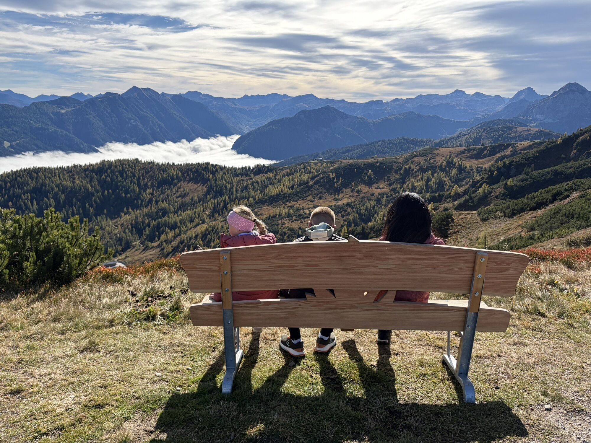
Take a little time at each of the three peaks to pause. Enjoy the beauty of the surrounding mountain world and the view of the picturesque valleys in complete peace.
Kamery internetowe z trasy
-
Bergstation achterjet
-
Absolut Shuttle Bergstation
-
Chill House / Jib Park
-
Bergstation Bubble Shuttle - Powder Shuttle
-
Lumberjack Shuttle
-
SUN HOUSE Flachauwinkl/Mittelstation
-
Wagrain / Hotel Wagrainerhof
-
Snow Space Salzburg - Flying Mozart
-
Snow Space Salzburg - woom bike area
-
Flying Mozart Bergstation

Aktywności na trasie
-

Flachau, Salzburg/Österreich
30.08.2026 – Wędrówka -

Flachau, Salzburg/Österreich
28.08.2026 – Wędrówka -
Flachau, Salzburg/Österreich
26.08.2026 – Wędrówka -

Flachau, Salzburg/Österreich
28.07.2026 – Wędrówka -
Flachau, Salzburg/Österreich
19.07.2026 – Wędrówka -

Flachau, Salzburg/Österreich
08.06.2026 – Wycieczki górskie
Popularne wycieczki w okolicy
-
5,0
Strimskogel-Runde
Wędrówka 13 km -
4,9
4-Gipfel-Tour
średniWycieczki górskie 6,40 km -
4,9
Großarl: Heukareck
średniWędrówka 12,5 km -
4,8
Obertauern to the Johannes Waterfall
średniWędrówka 9,39 km -
4,2
Tappenkarsee Kleinarl
średniWędrówka 9,11 km -
4,8
Rossbrand über Bürgerbergalm (462)
Wędrówka 10,8 km -
4,7
Großarl: Mooslehenalm – Niggeltalalm – Viehhausalm
średniWędrówka 5,44 km -
4,6
Ski route Lackenkogel
średniWycieczka narciarska 7,82 km -
5,0
Großarl: Mooslehenalm - Höllwand - Heukareck - Niggeltalalm
ciężkiWędrówka 13,2 km -
4,6
Grießenkareck
średniWędrówka 4,89 km
Wędrówki i tropienie


Nie przegap ofert i inspiracji na następne wakacje
Twój adres e-mail została dodana do listy mailingowej.


