


4 Summit Heights Circuit Trail (No.:69-70)(19 points)
Zdjęcia naszych użytkowników

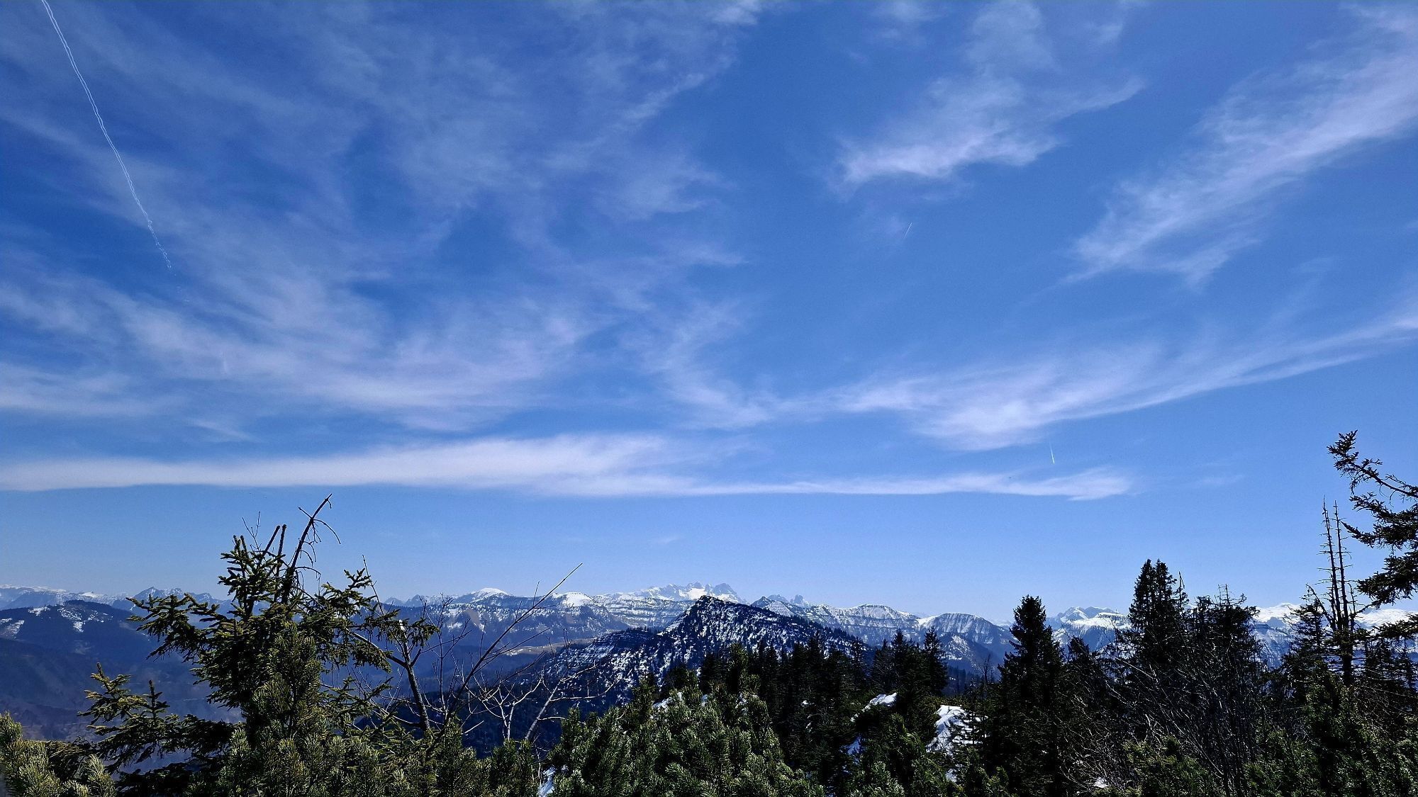
 © JordyUtworzono dnia 12.04.2025
 © JordyUtworzono dnia 12.04.2025
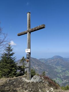
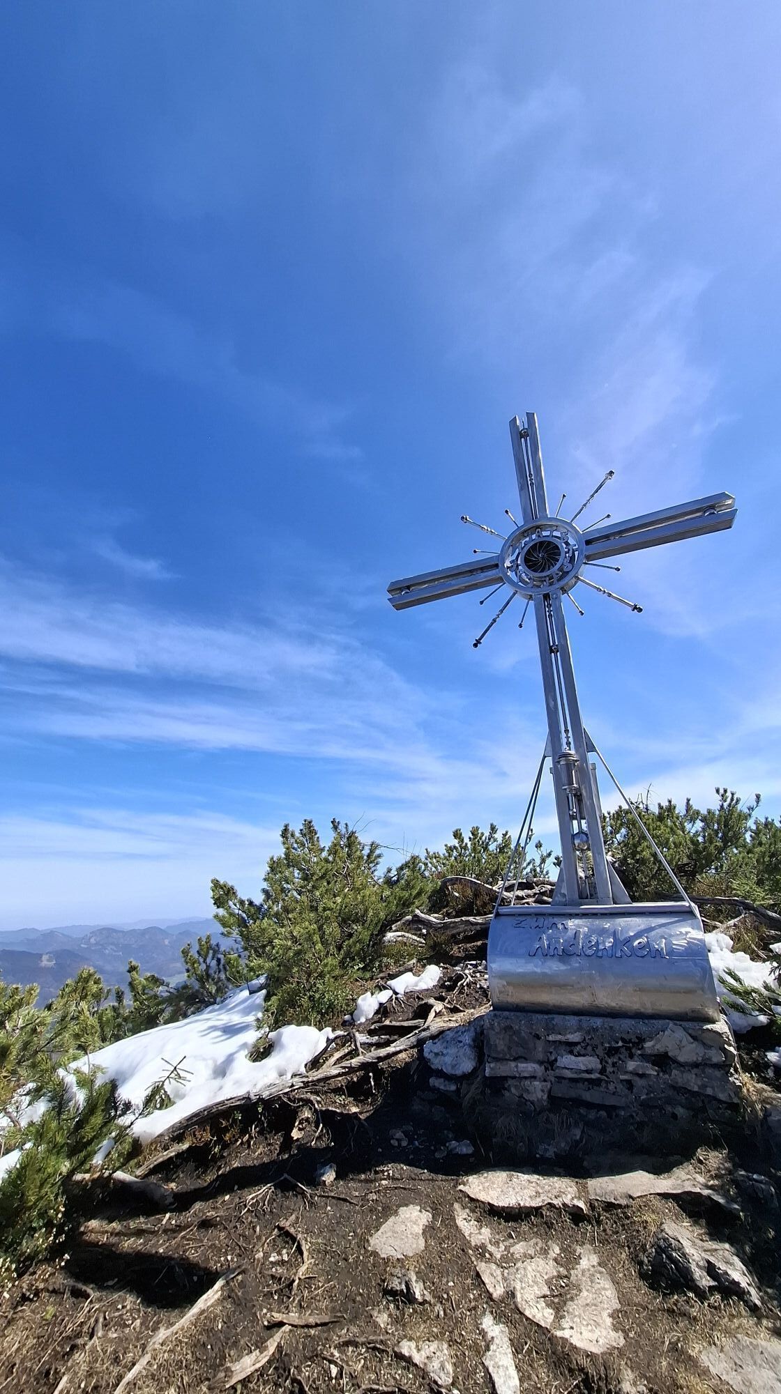
 © Christine ArnoldUtworzono dnia 17.04.2026
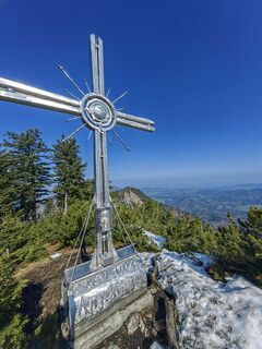 © Christine ArnoldUtworzono dnia 17.04.2026
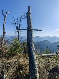 © Christine ArnoldUtworzono dnia 17.04.2026
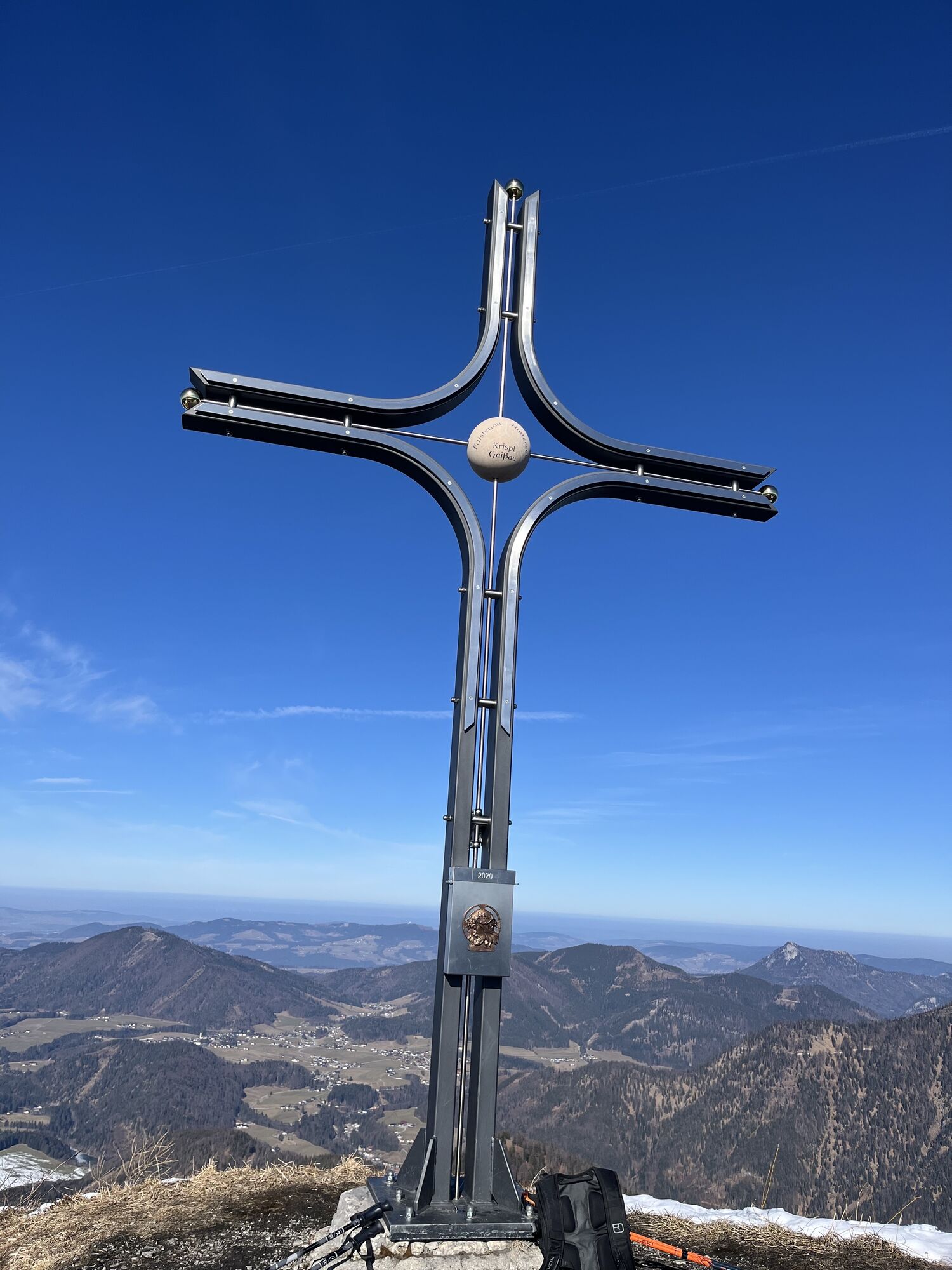
 © Irmi LechnerUtworzono dnia 27.12.2025
 © Irmi LechnerUtworzono dnia 27.12.2025
 © Irmi LechnerUtworzono dnia 27.12.2025
 © Irmi LechnerUtworzono dnia 27.12.2025
 © Irmi LechnerUtworzono dnia 27.12.2025
 © Irmi LechnerUtworzono dnia 27.12.2025
 © Irmi LechnerUtworzono dnia 27.12.2025
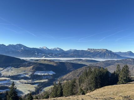 © Irmi LechnerUtworzono dnia 27.12.2025
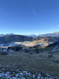 © Irmi LechnerUtworzono dnia 27.12.2025
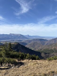
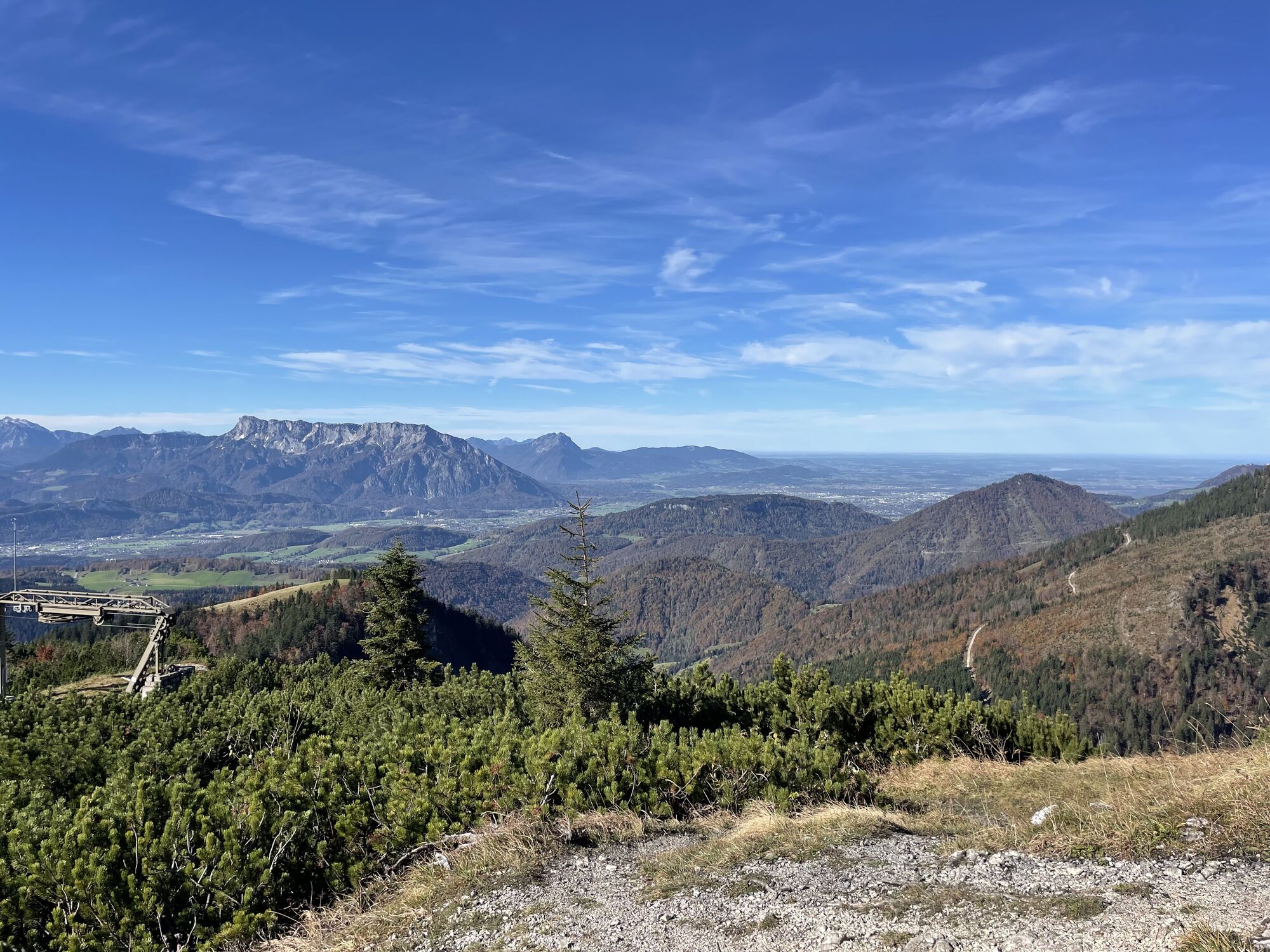
 © Heinz SperlUtworzono dnia 14.11.2025
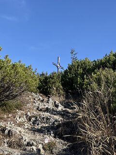 © Heinz SperlUtworzono dnia 14.11.2025
 © Heinz SperlUtworzono dnia 14.11.2025
 © Heinz SperlUtworzono dnia 14.11.2025
 © Heinz SperlUtworzono dnia 14.11.2025
 © Sven KrieblinUtworzono dnia 31.08.2025
 © Sven KrieblinUtworzono dnia 31.08.2025
 © Sven KrieblinUtworzono dnia 31.08.2025
 © Sven KrieblinUtworzono dnia 31.08.2025
 © AJ06Utworzono dnia 11.05.2025
 © Karl SattleckerUtworzono dnia 17.10.2024
 © Karl SattleckerUtworzono dnia 17.10.2024
 © JordyUtworzono dnia 12.04.2025
 © JordyUtworzono dnia 12.04.2025
 © JordyUtworzono dnia 12.04.2025
 © JordyUtworzono dnia 12.04.2025
 © JordyUtworzono dnia 12.04.2025
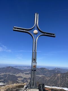
 © Josef ReichUtworzono dnia 22.02.2025
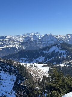 © Josef ReichUtworzono dnia 22.02.2025
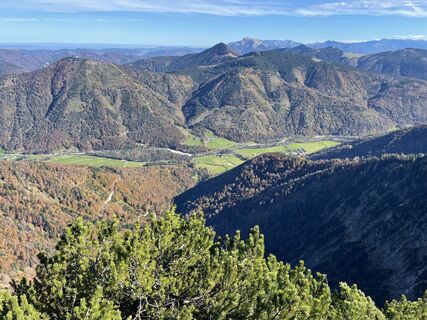 © Karl SattleckerUtworzono dnia 17.10.2024
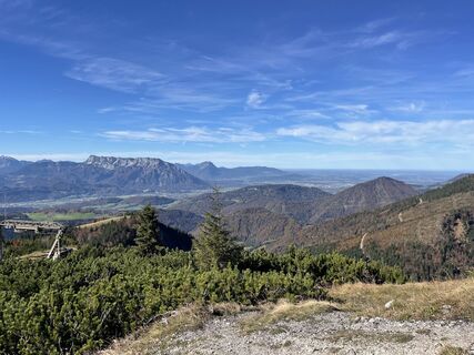 © Karl SattleckerUtworzono dnia 17.10.2024
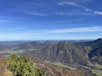 © Karl SattleckerUtworzono dnia 17.10.2024
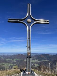 © Karl SattleckerUtworzono dnia 17.10.2024
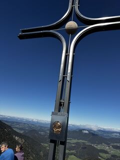
 © Nina WolfUtworzono dnia 06.10.2024
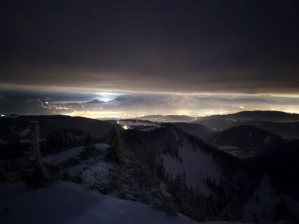
 © Markus StanglUtworzono dnia 20.02.2026
 © Heinz SperlUtworzono dnia 18.01.2026
 © Heinz SperlUtworzono dnia 18.01.2026
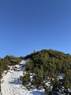 © Heinz SperlUtworzono dnia 18.01.2026
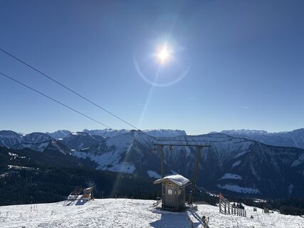 © Heinz SperlUtworzono dnia 02.12.2025
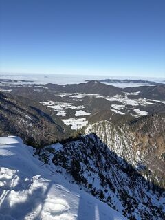 © Heinz SperlUtworzono dnia 02.12.2025
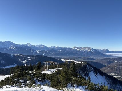 © Heinz SperlUtworzono dnia 02.12.2025
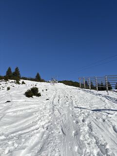 © Heinz SperlUtworzono dnia 02.12.2025
 © Heinz SperlUtworzono dnia 02.12.2025
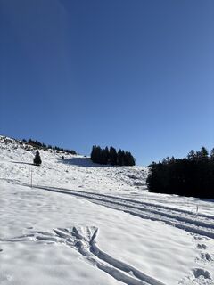 © Heinz SperlUtworzono dnia 02.12.2025

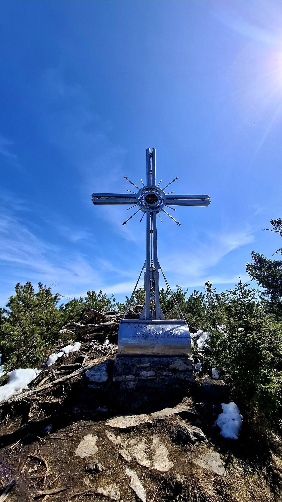

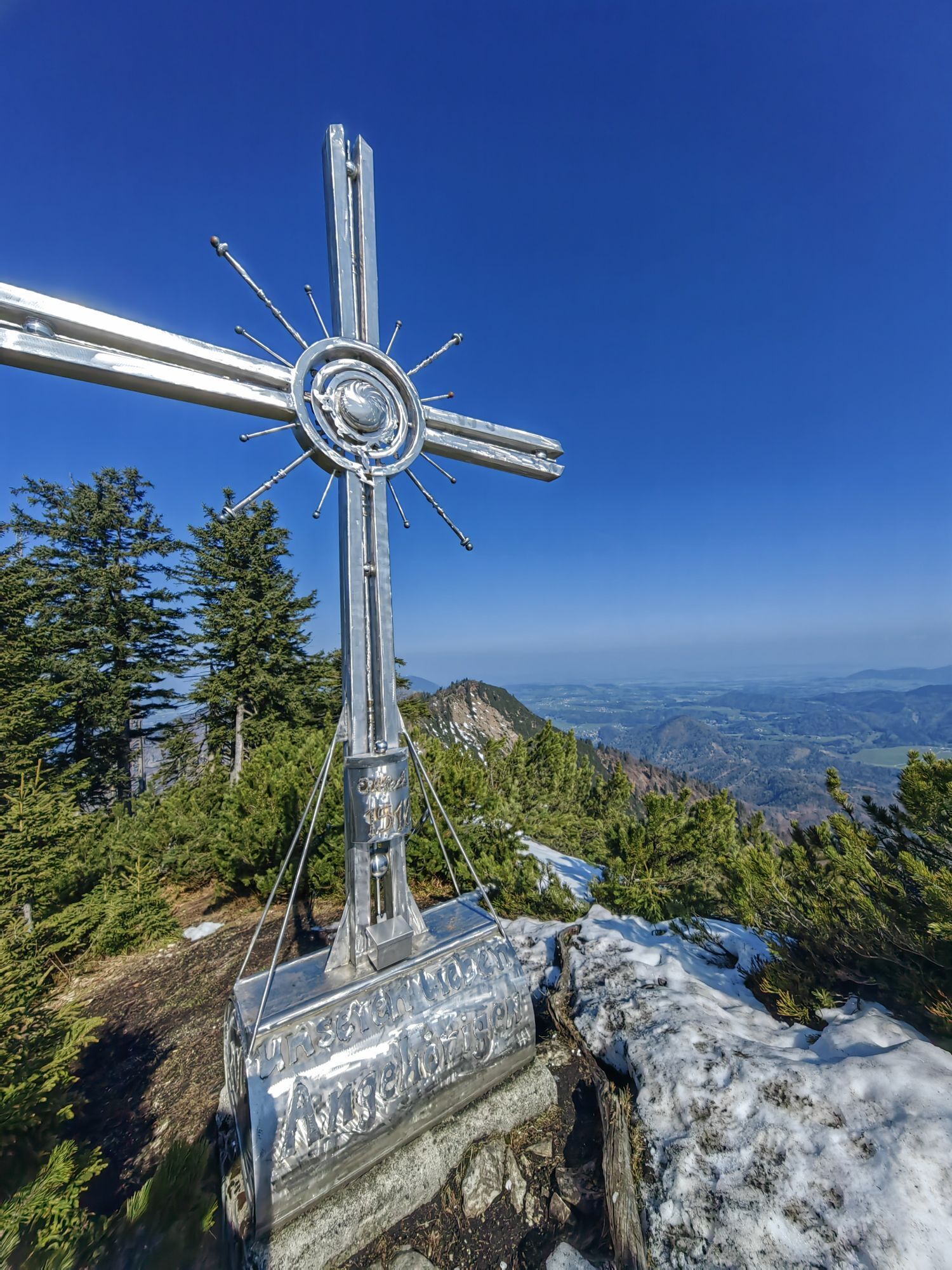
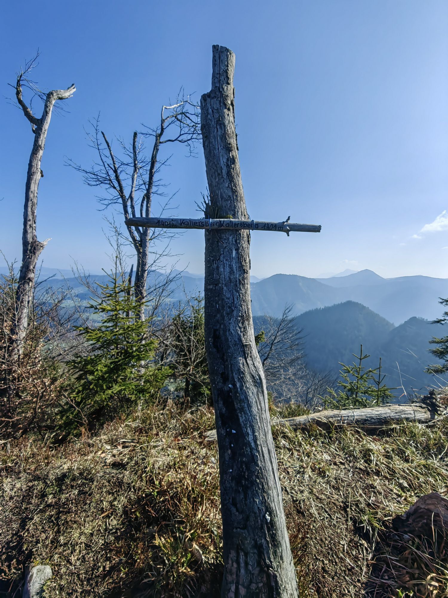
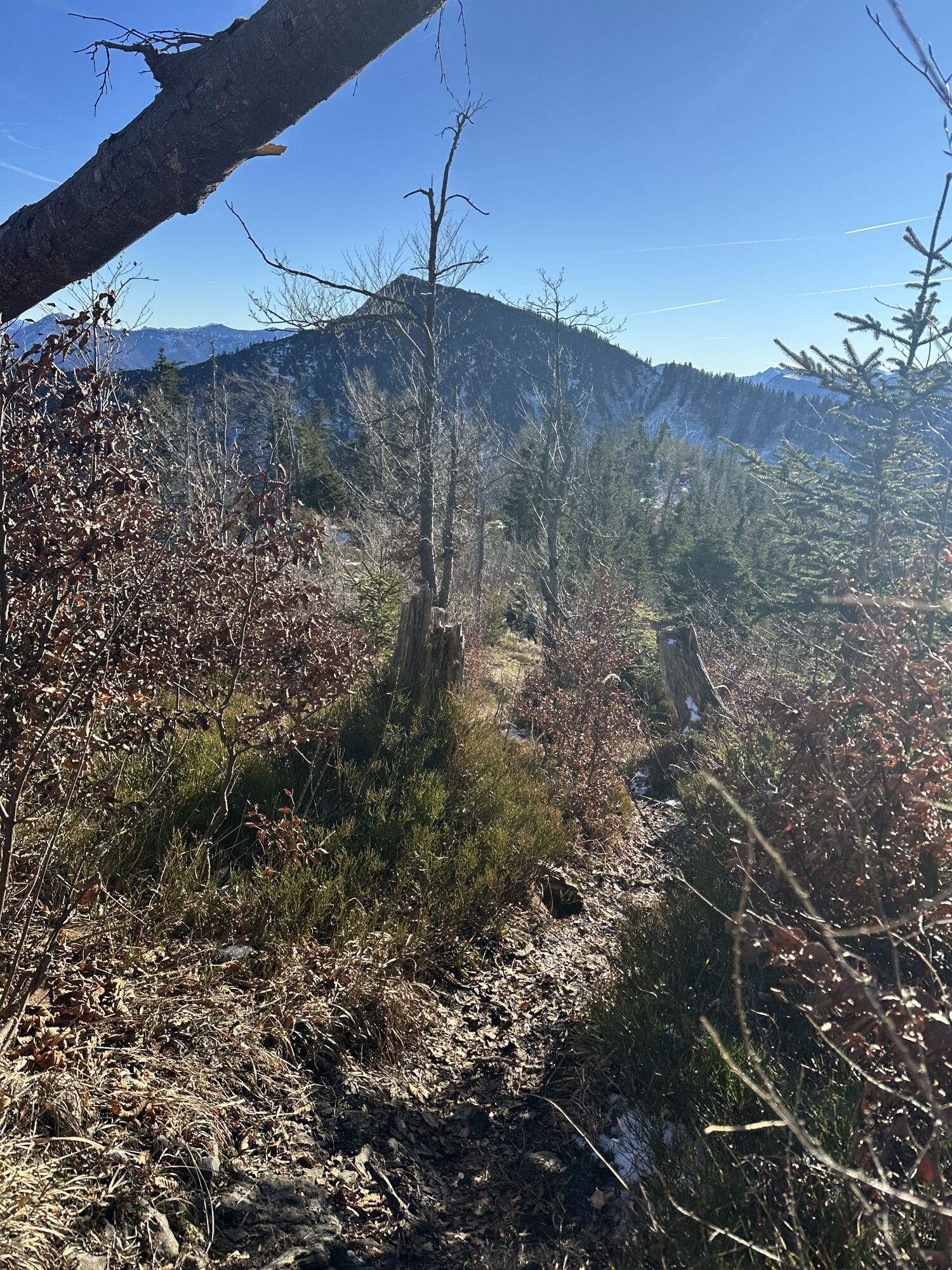

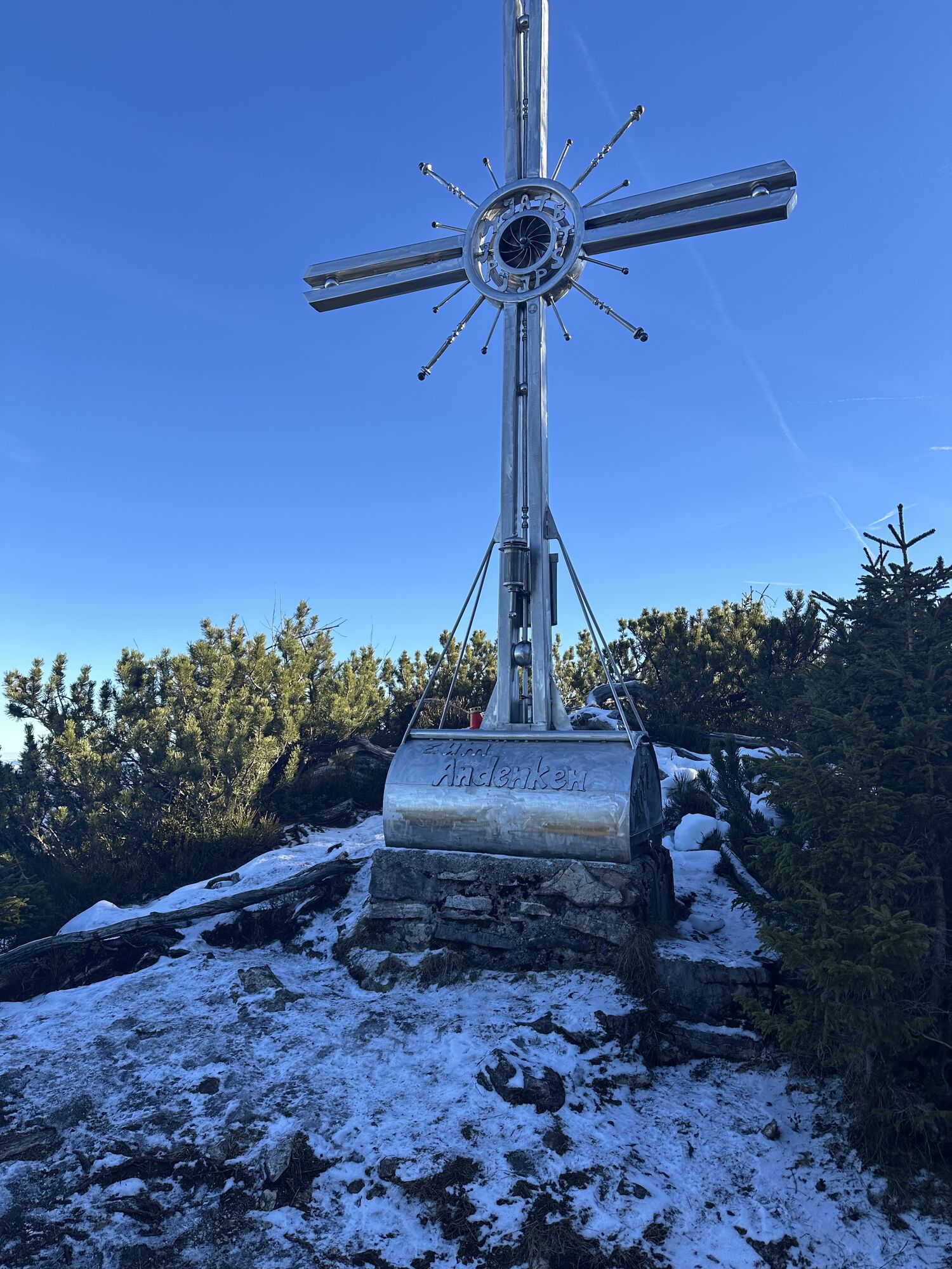
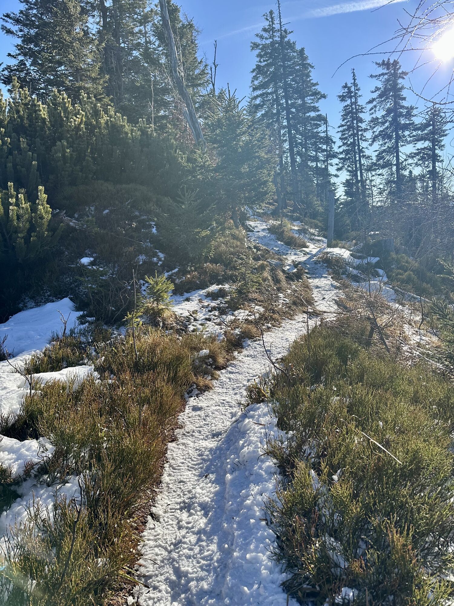
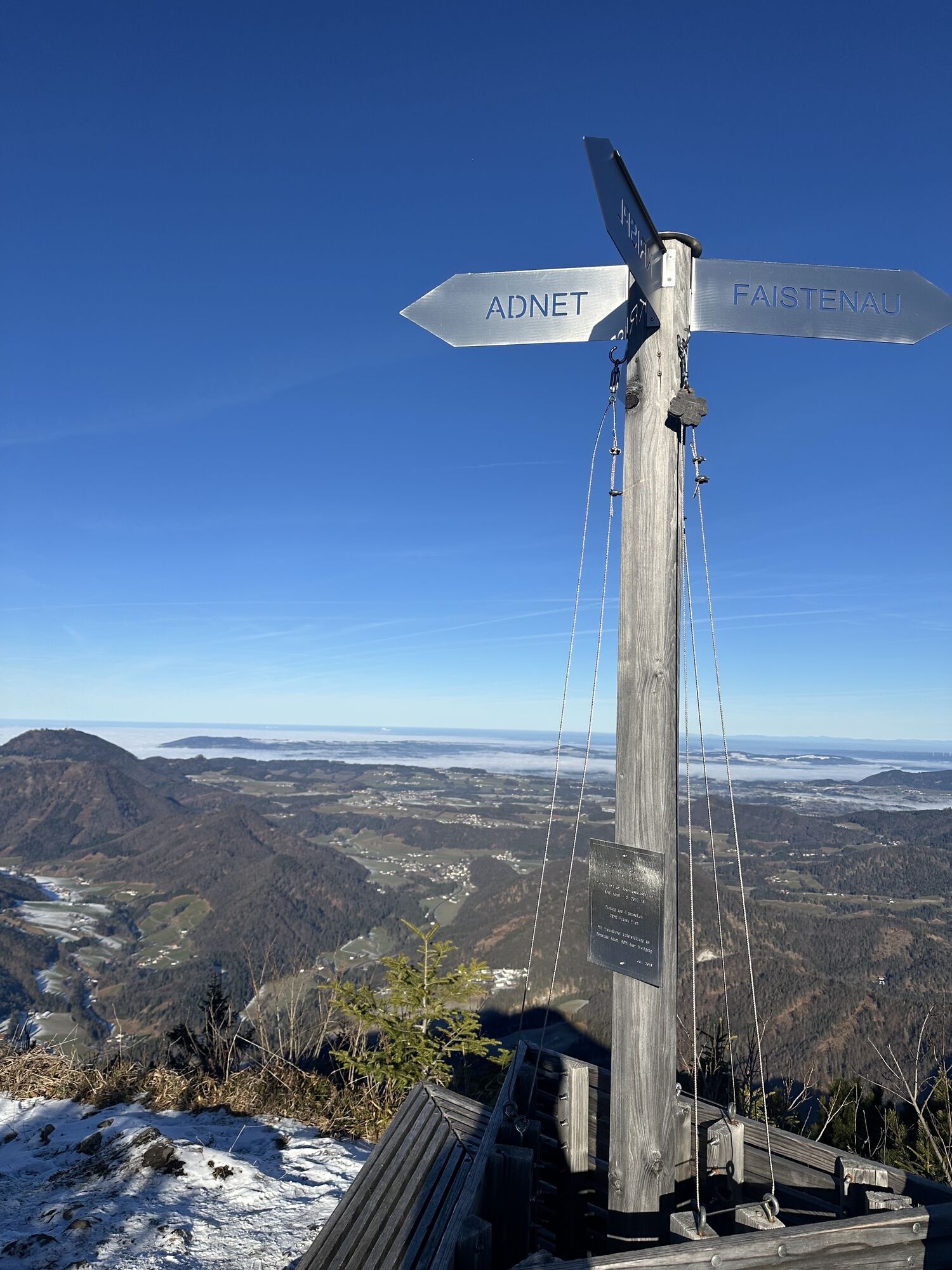
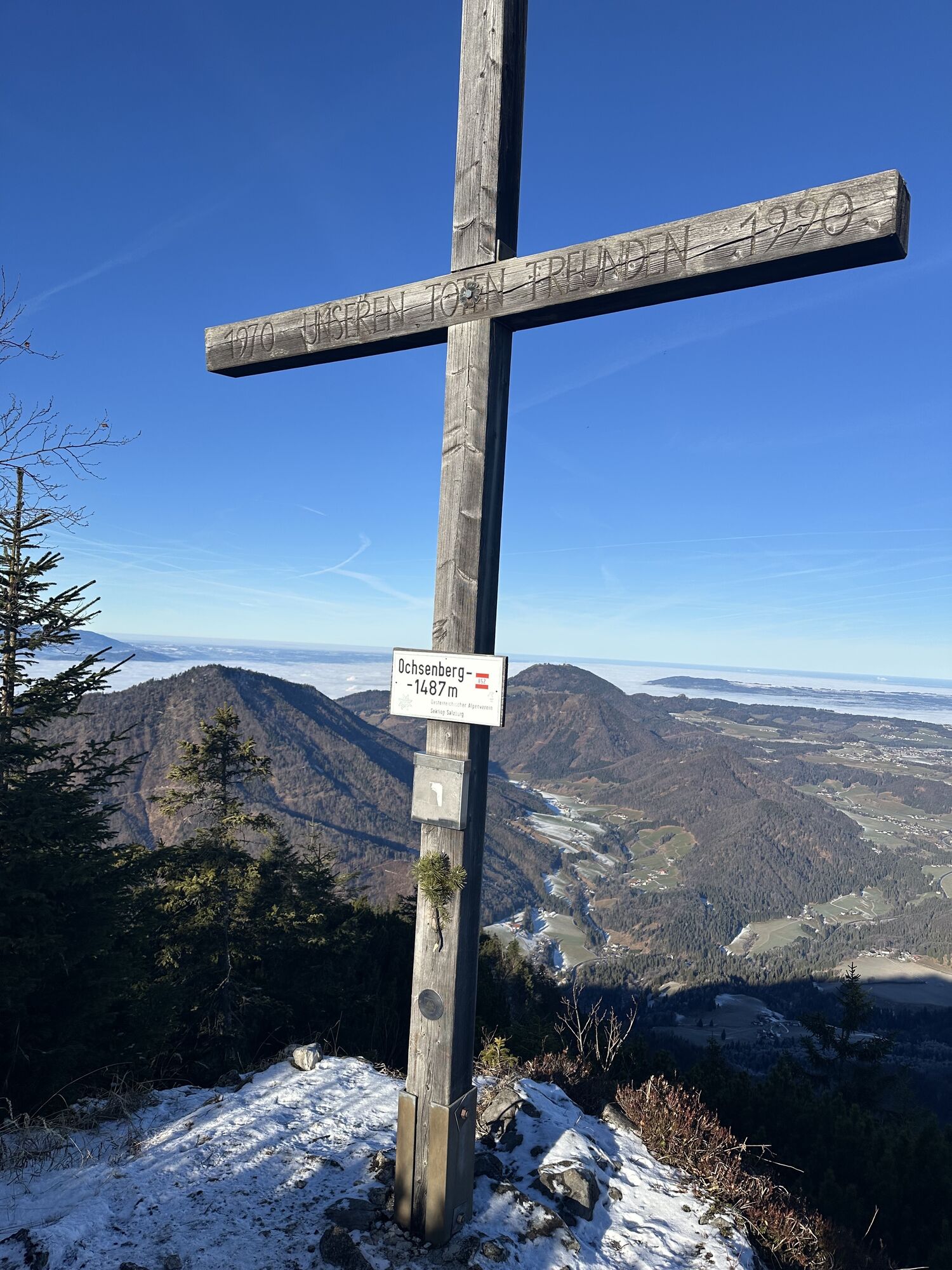
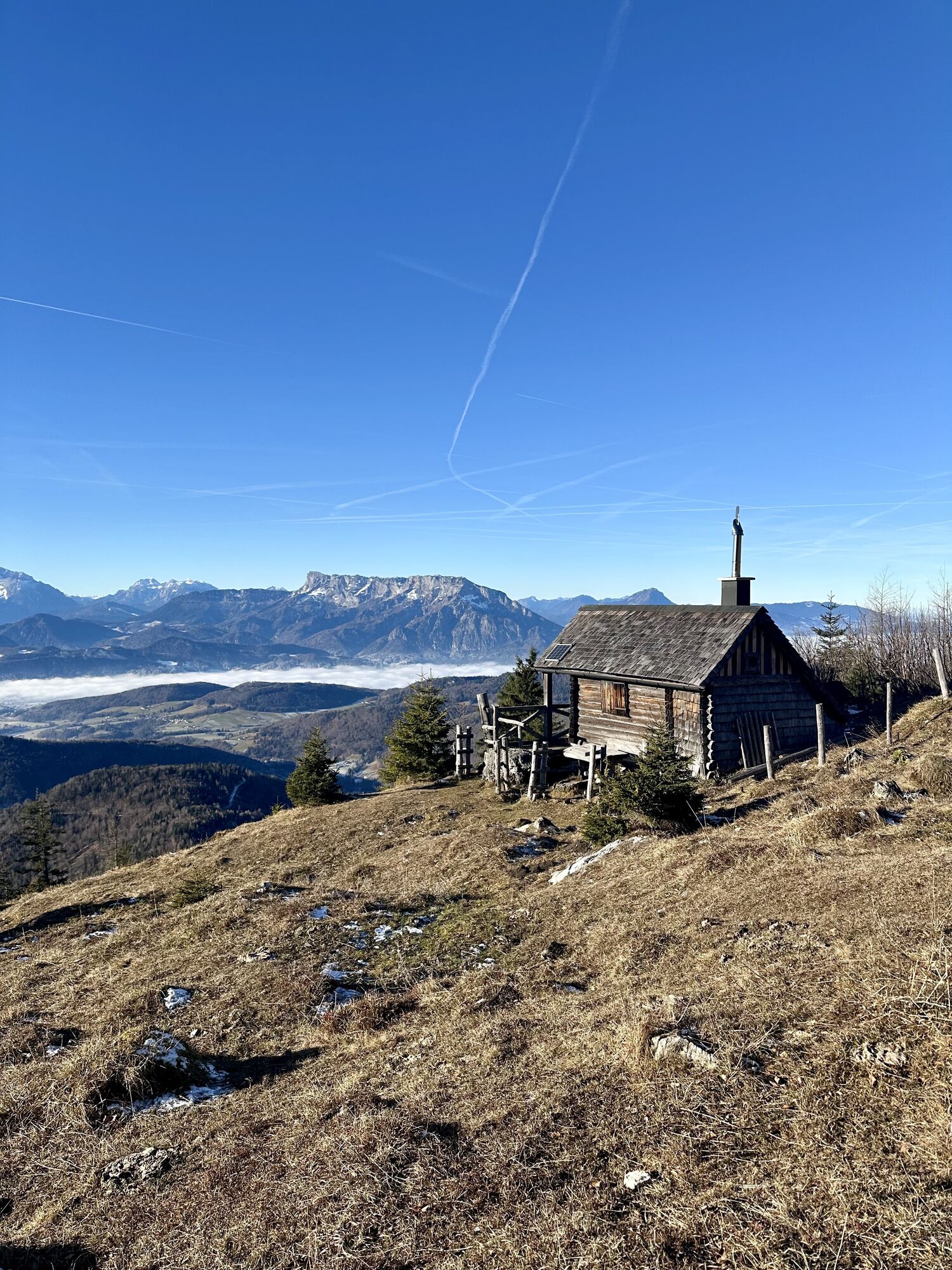


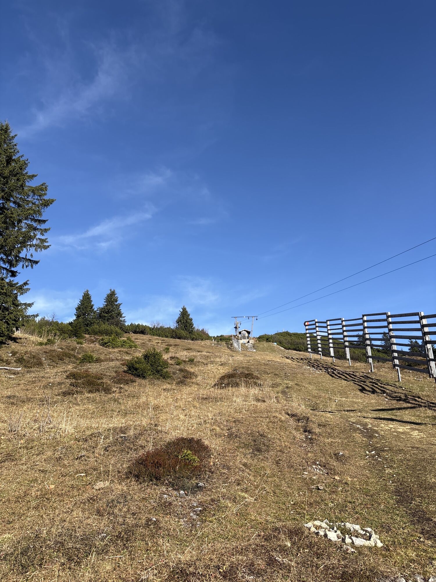
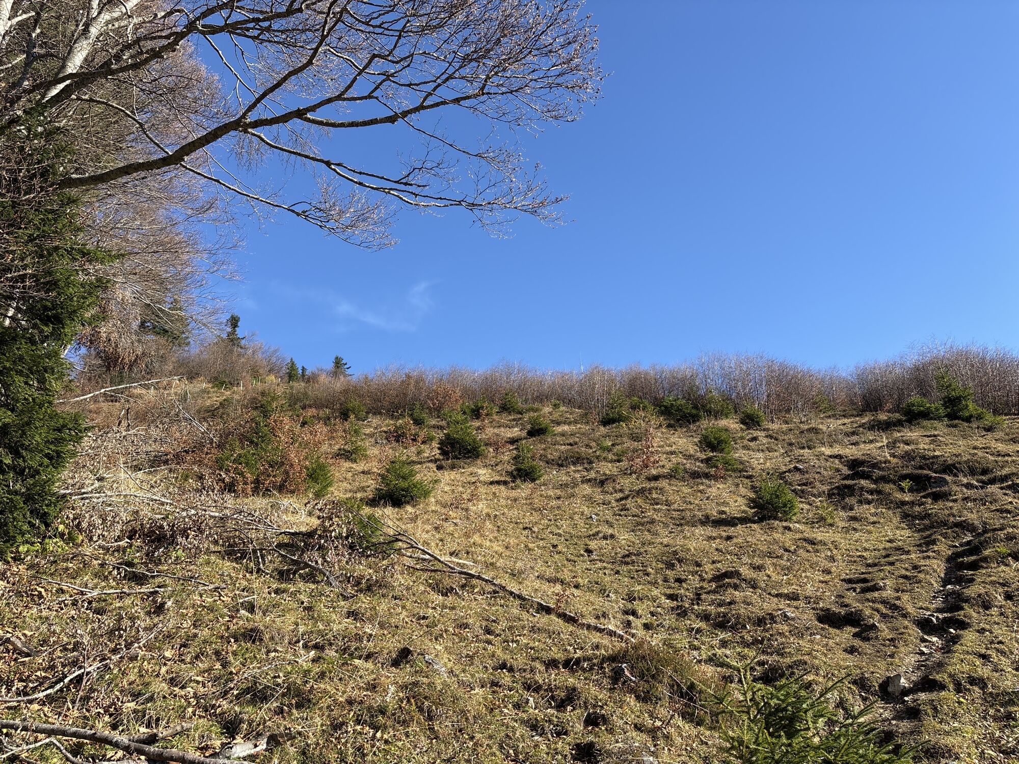

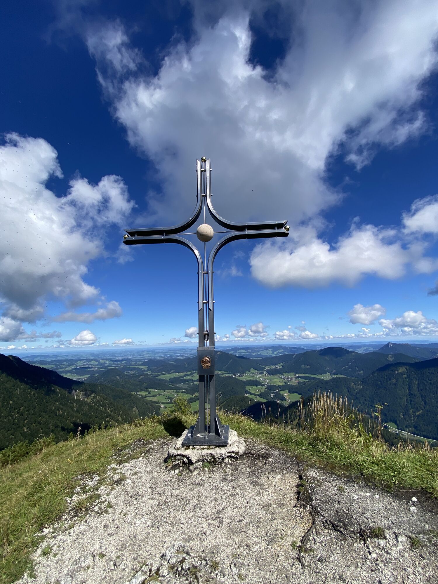


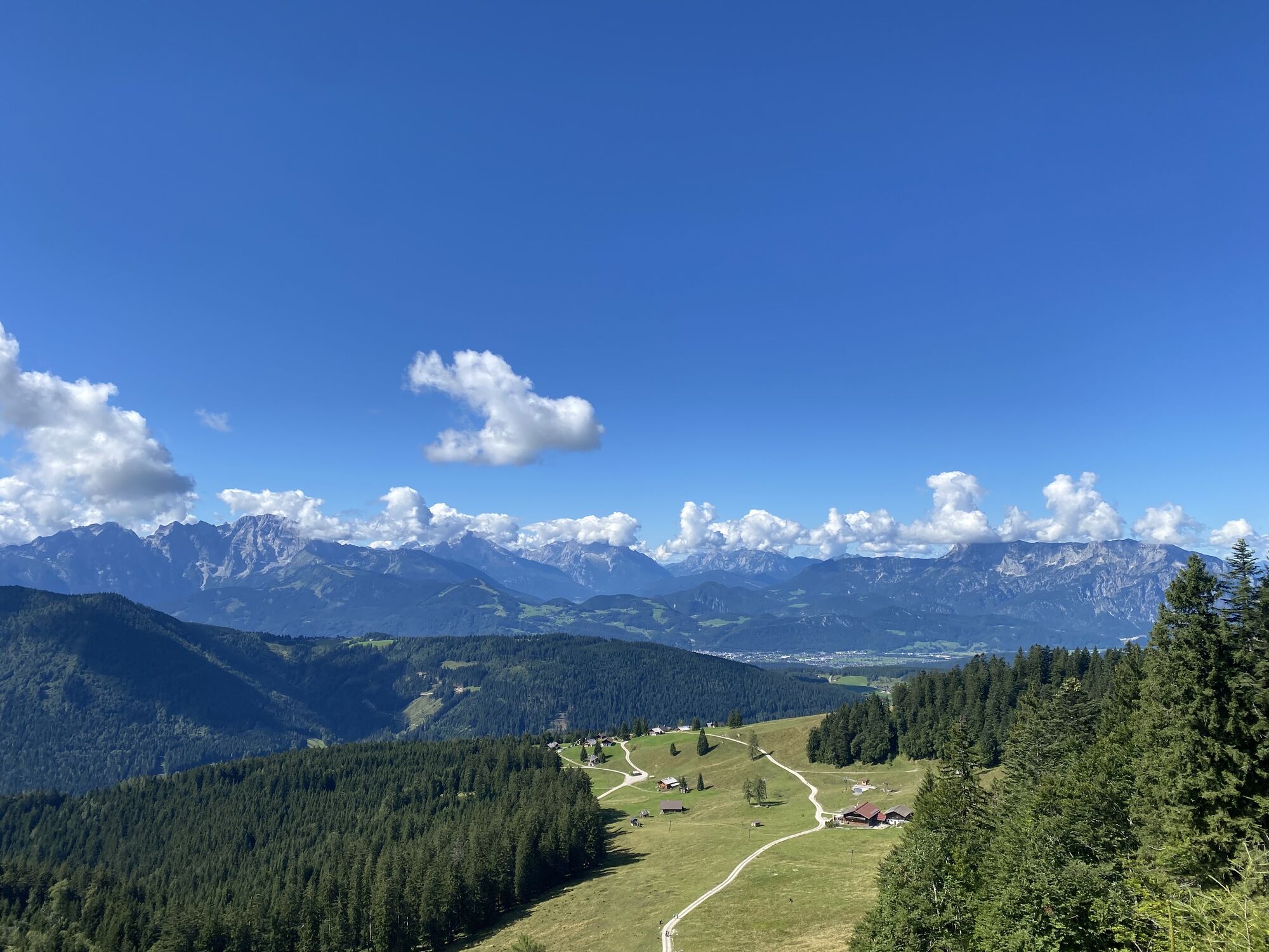

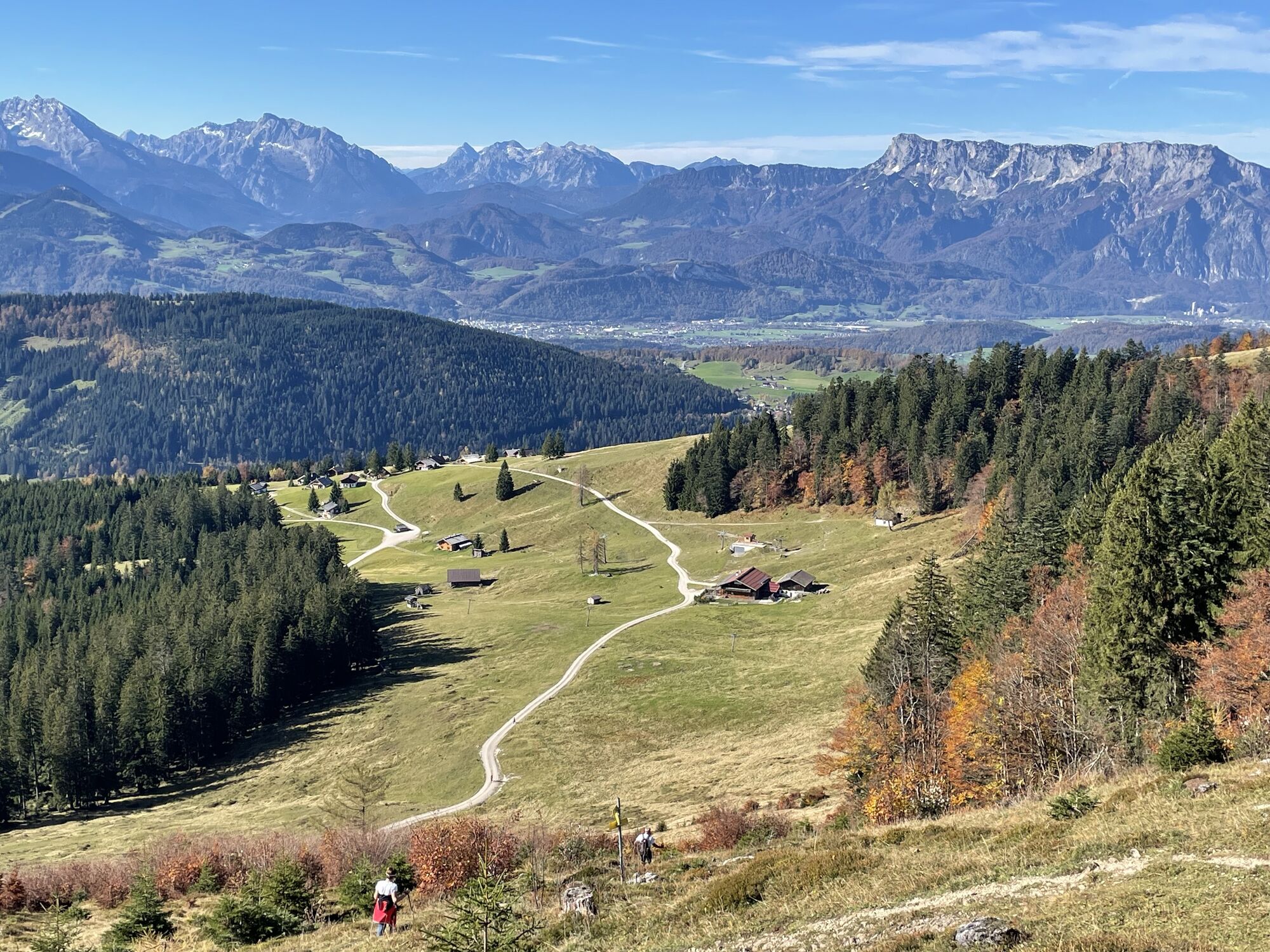
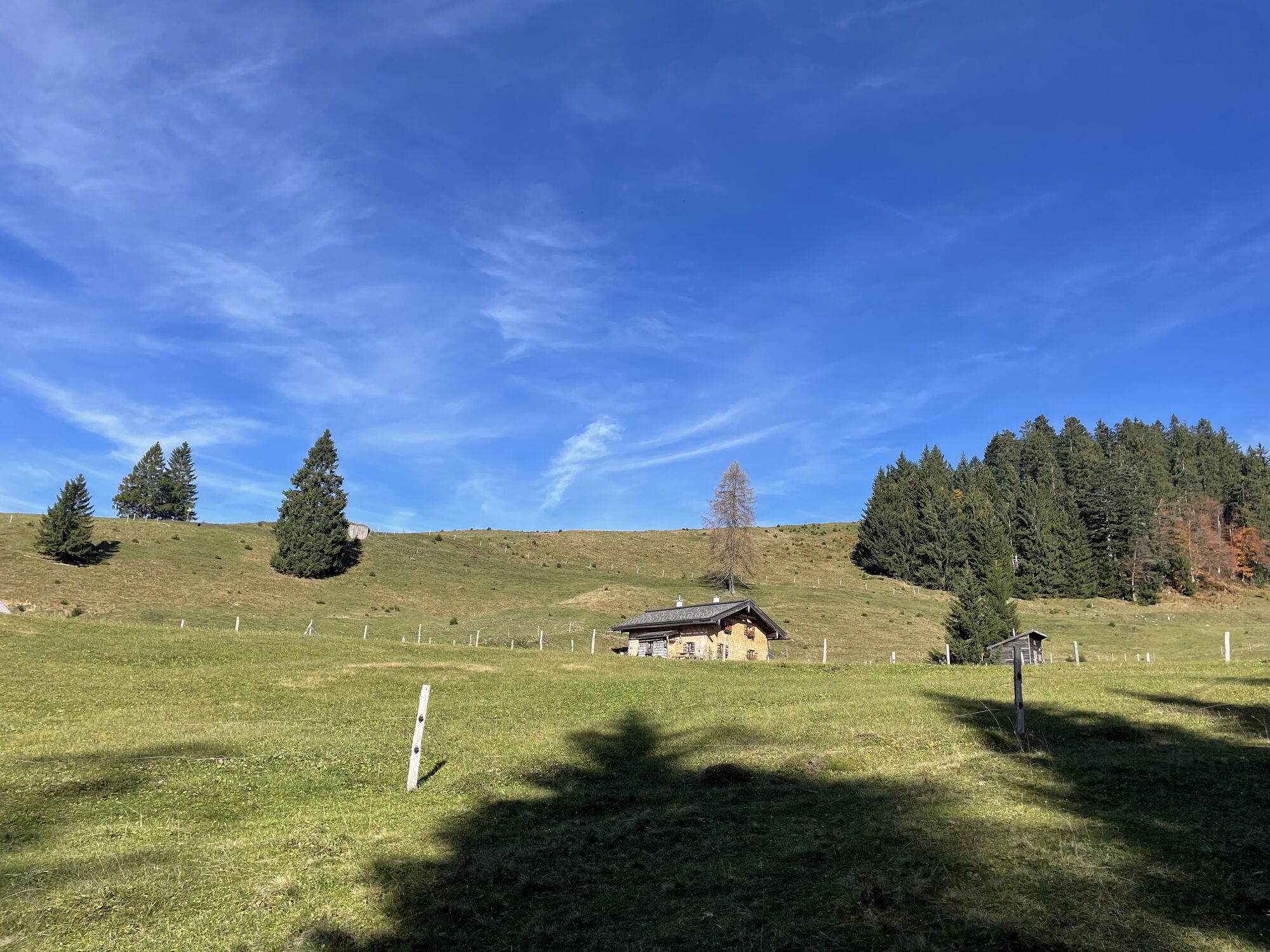
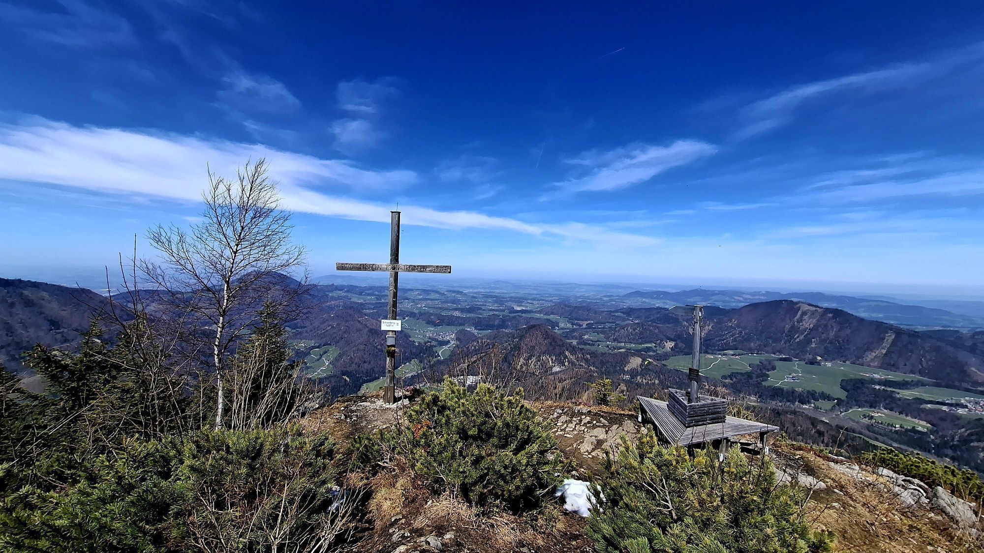
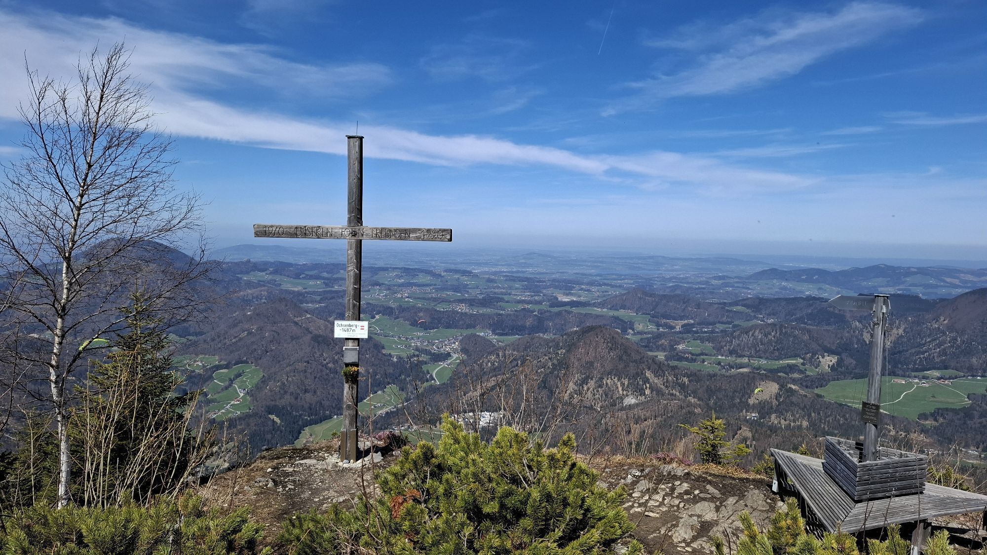


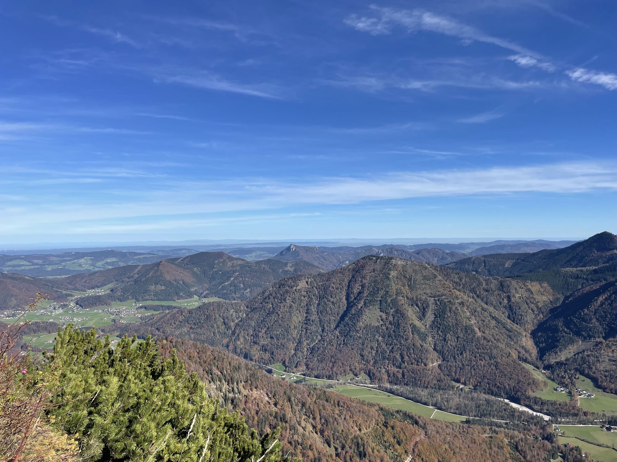
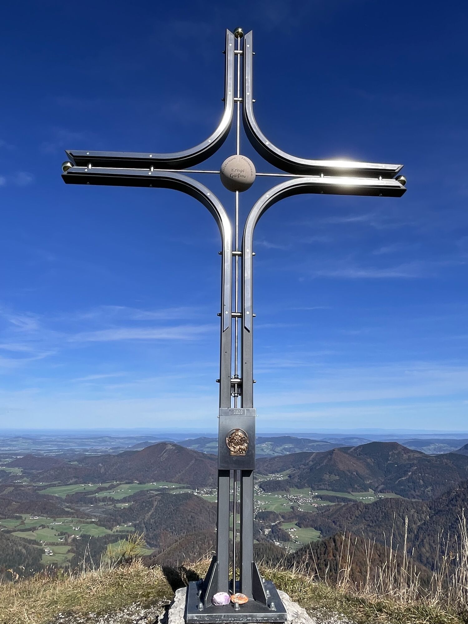


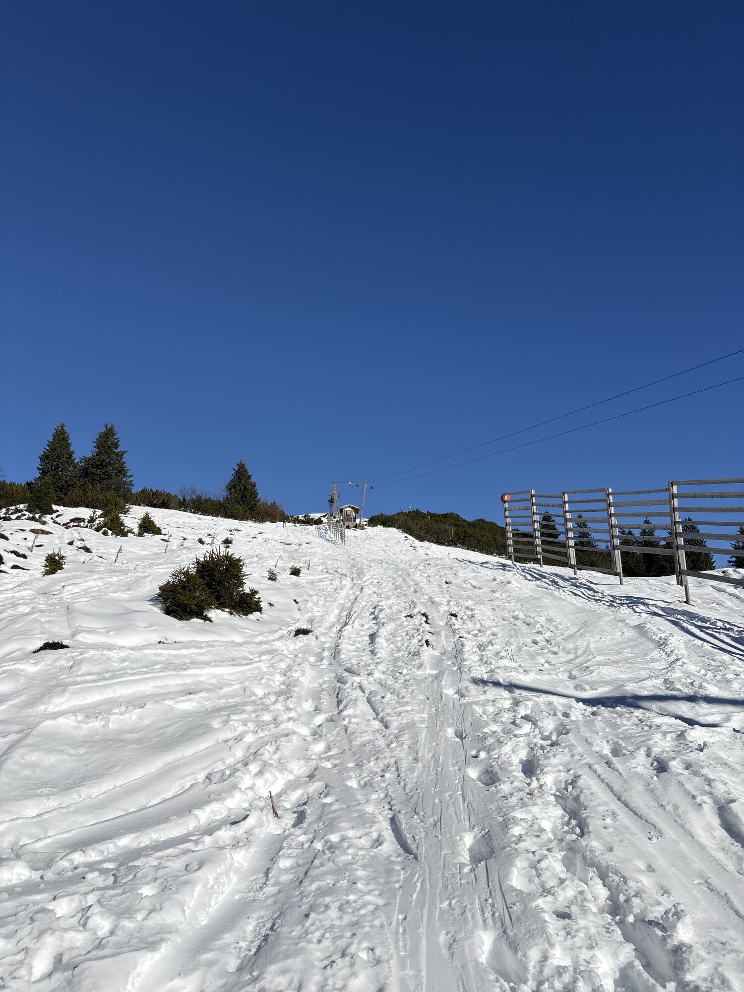
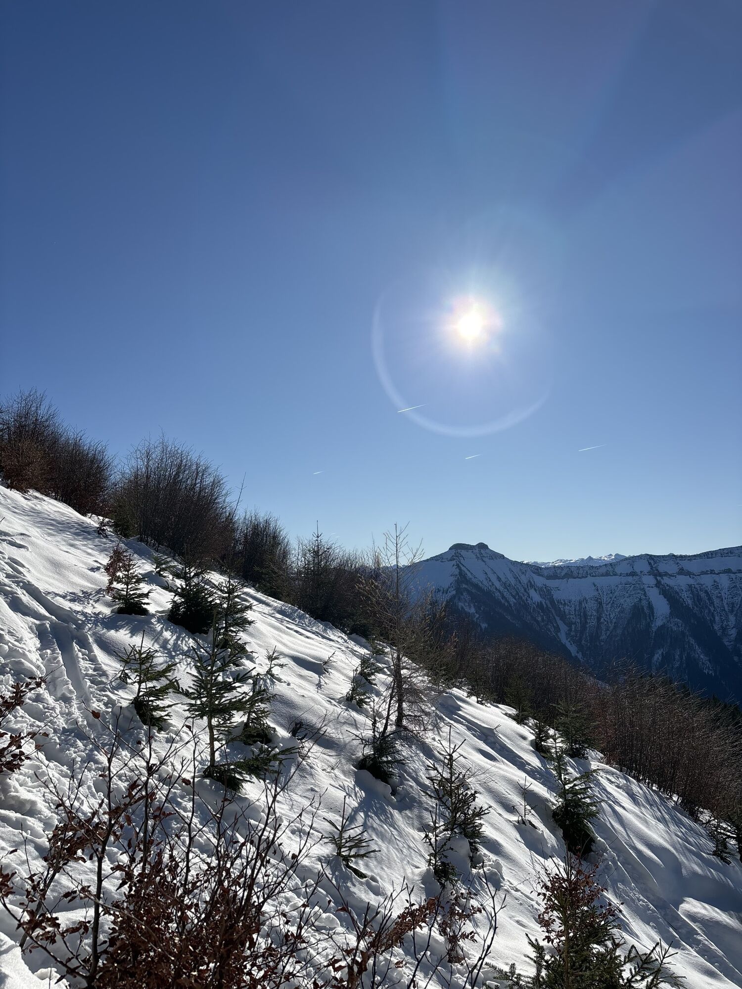

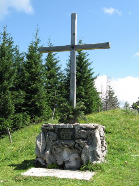
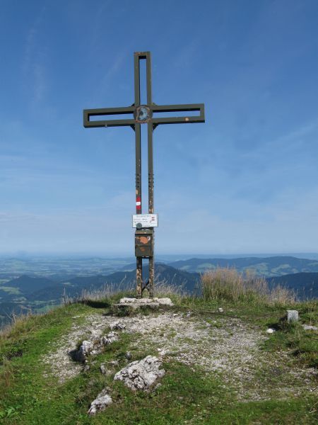
From the Spielbergstrasse tollbooth via the Eibleck turnoff to the Eibleckalmen. Continue on the path to the Ochsenberg. Then you come to the Eibleck with the new summit cross. Further over the Kallersberg...
From the Spielbergstrasse tollbooth via the Eibleck turnoff to the Eibleckalmen. Continue on the path to the Ochsenberg. Then you come to the Eibleck with the new summit cross. Further over the Kallersberg to the Moser monument and over to the Spielberg. To the 4th peak it then goes on a grade to the Wieserhörndl, then along the slope down to the Spielbergalmen and along the Spielbergstrasse to the starting point tollbooth.

From the Spielbergstrasse tollbooth via the Eibleck turnoff to the Eibleckalmen. Continue on the path to the Ochsenberg. Then you come to the Eibleck with the new summit cross. Further over the Kallersberg to the Moser monument and over to the Spielberg. To the 4th peak it then goes on a grade to the Wieserhörndl, then along the slope down to the Spielbergalmen and along the Spielbergstrasse to the starting point tollbooth.
Tak
Tak
Sturdy shoes, hiking poles, headgear, sun protection
Aktywności na trasie

Krispl, Salzburg/Österreich
18.04.2026 – Wędrówka
Krispl, Salzburg/Österreich
07.04.2026 – WędrówkaOchsenberg, Eibleck und Kallersberg Runde
01.01.2026 – Wędrówka
Krispl, Salzburg/Österreich
20.12.2025 – Wędrówka
Krispl, Salzburg/Österreich
20.12.2025 – WędrówkaKrispl, Salzburg/Österreich
14.12.2025 – WędrówkaKallersberg - Eibleck - Ochsenberg
03.04.2024 – Wycieczki górskie
Popularne wycieczki w okolicy
- 4,7
Schwarzer Berg / Golling
średniWędrówka 2,54 km - 4,8
Fuschl: Ruine Wartenfels - Schober - Frauenkopf
średniWędrówka 7,62 km - 4,2
Fuschlseewanderung
światłoWędrówka 11 km - 4,1
Pillstein Panorama Rundweg
światłoWędrówka 3,40 km - 4,9
Pleasure hike over the Falkenstein
średniWędrówka 9,81 km - 4,1
Untersberg, Toni-Lenz-Hütte
Wędrówka 4,86 km - 4,4
From Koppl to the Gaisberg summit
średniWędrówka 9,86 km - 4,8
Schober -Aussichtsplattform mit Seensicht
ciężkiWędrówka 2,65 km - 4,8
Schlenken and Schmittenstein hike
ciężkiWędrówka 10,9 km - 4,8
Von St. Gilgen aufs Zwölferhorn
średniWędrówka 10,4 km

Wędrówki i tropienie


Nie przegap ofert i inspiracji na następne wakacje
Twój adres e-mail została dodana do listy mailingowej.