







Trail running: VALLEYS LOOP - Rattensbach valley - Steingassl - Mühlbach valley
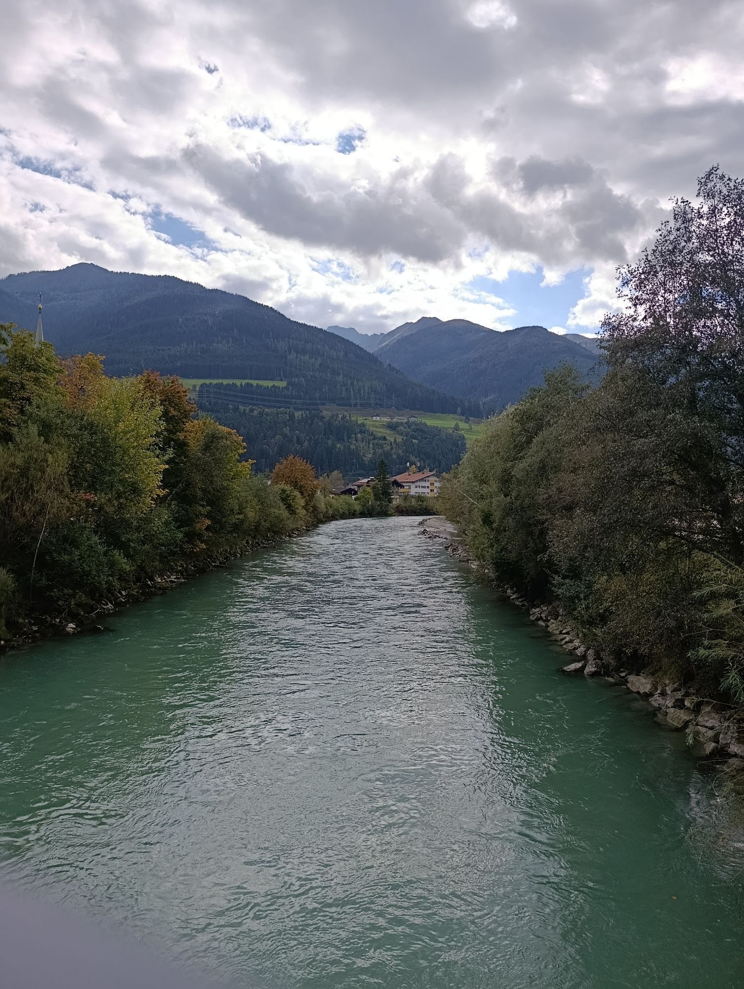
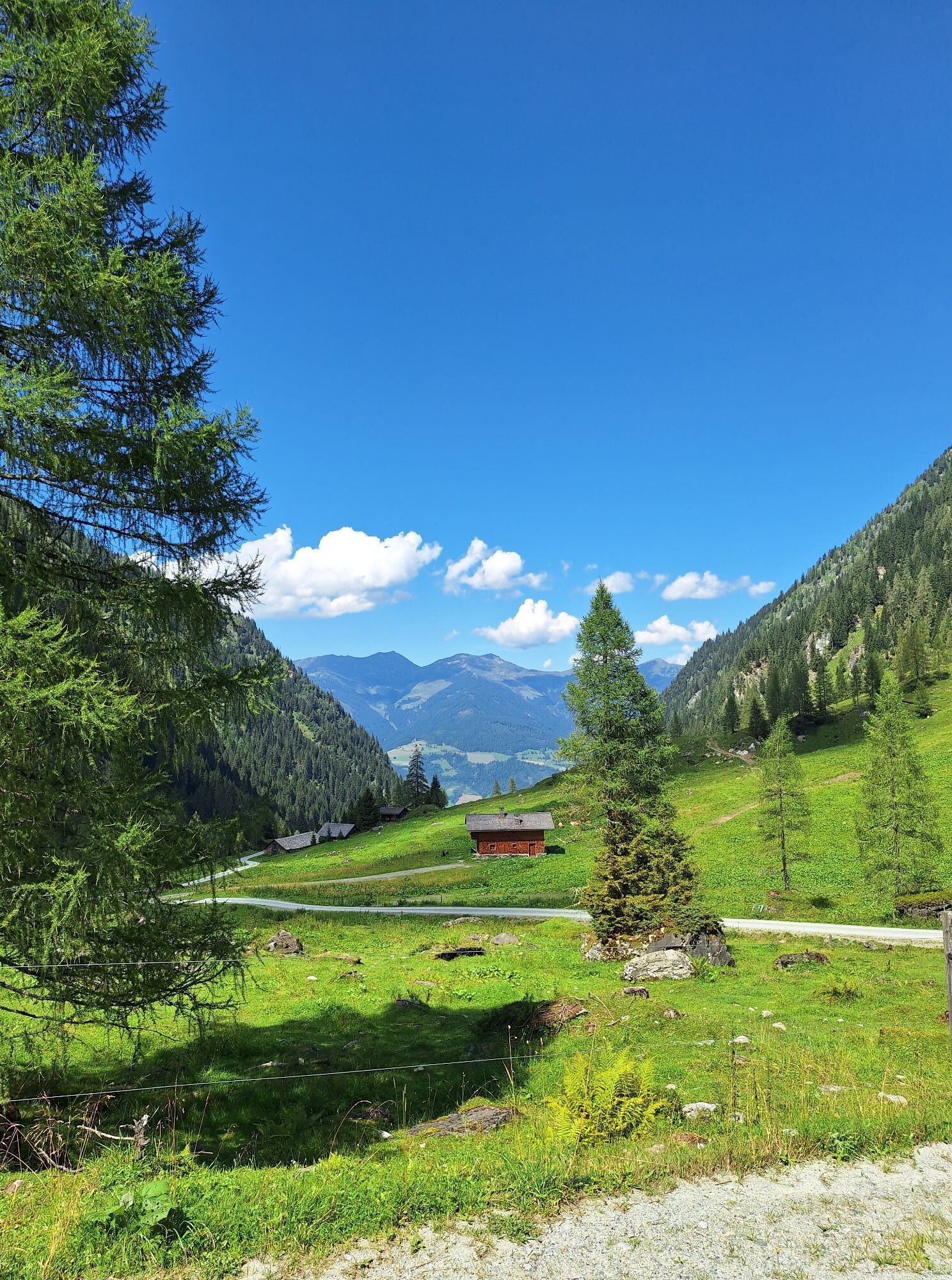
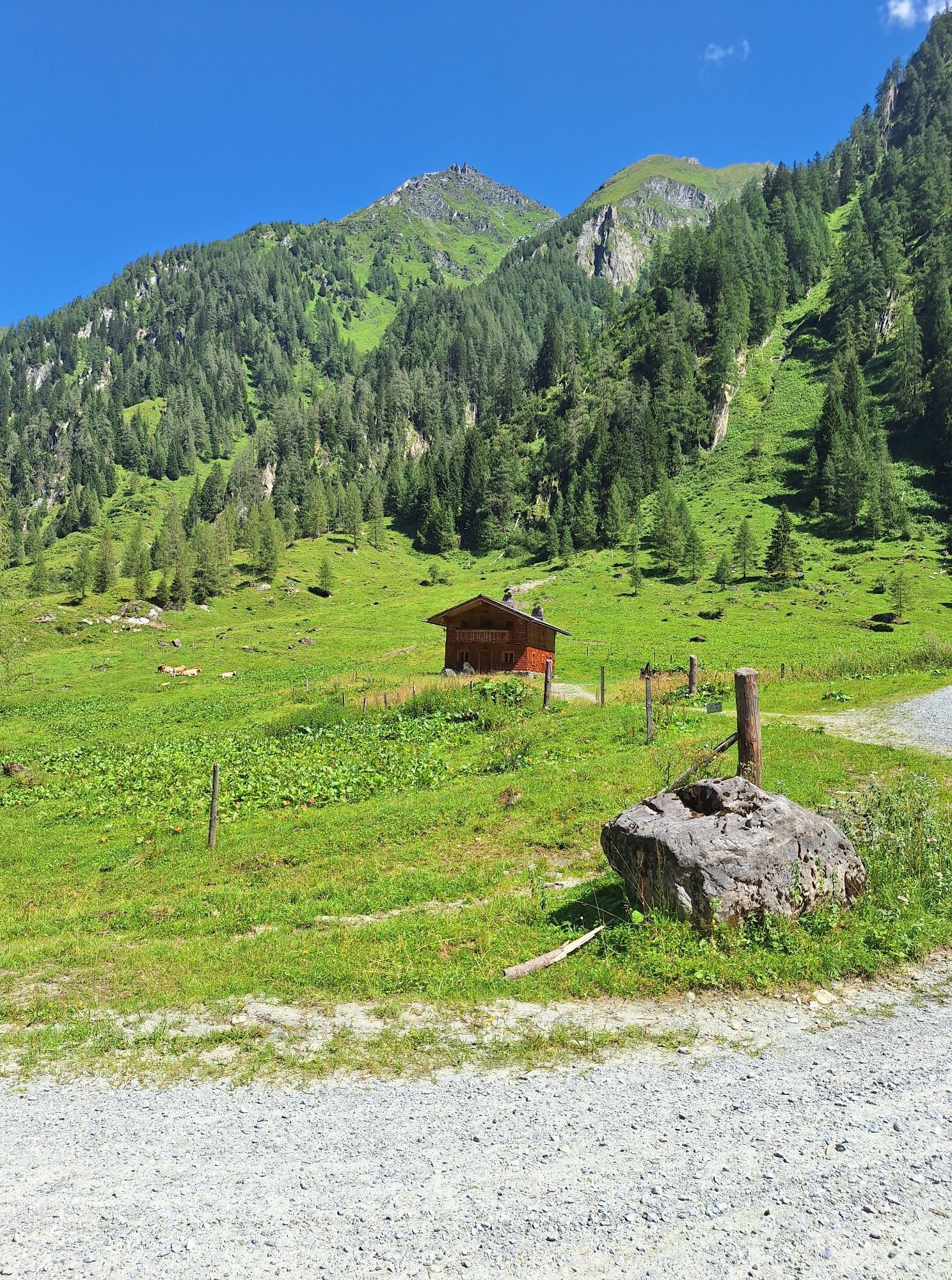
On this demanding trail, you will cross three different valleys from Niedernsill – the Rattensbach valley, Steingassl, and the Mühlbach valley. A genuine mountain experience, recommended only for trail...
On this demanding trail, you will cross three different valleys from Niedernsill – the Rattensbach valley, Steingassl, and the Mühlbach valley. A genuine mountain experience, recommended only for trail runners with surefootedness and no fear of heights.
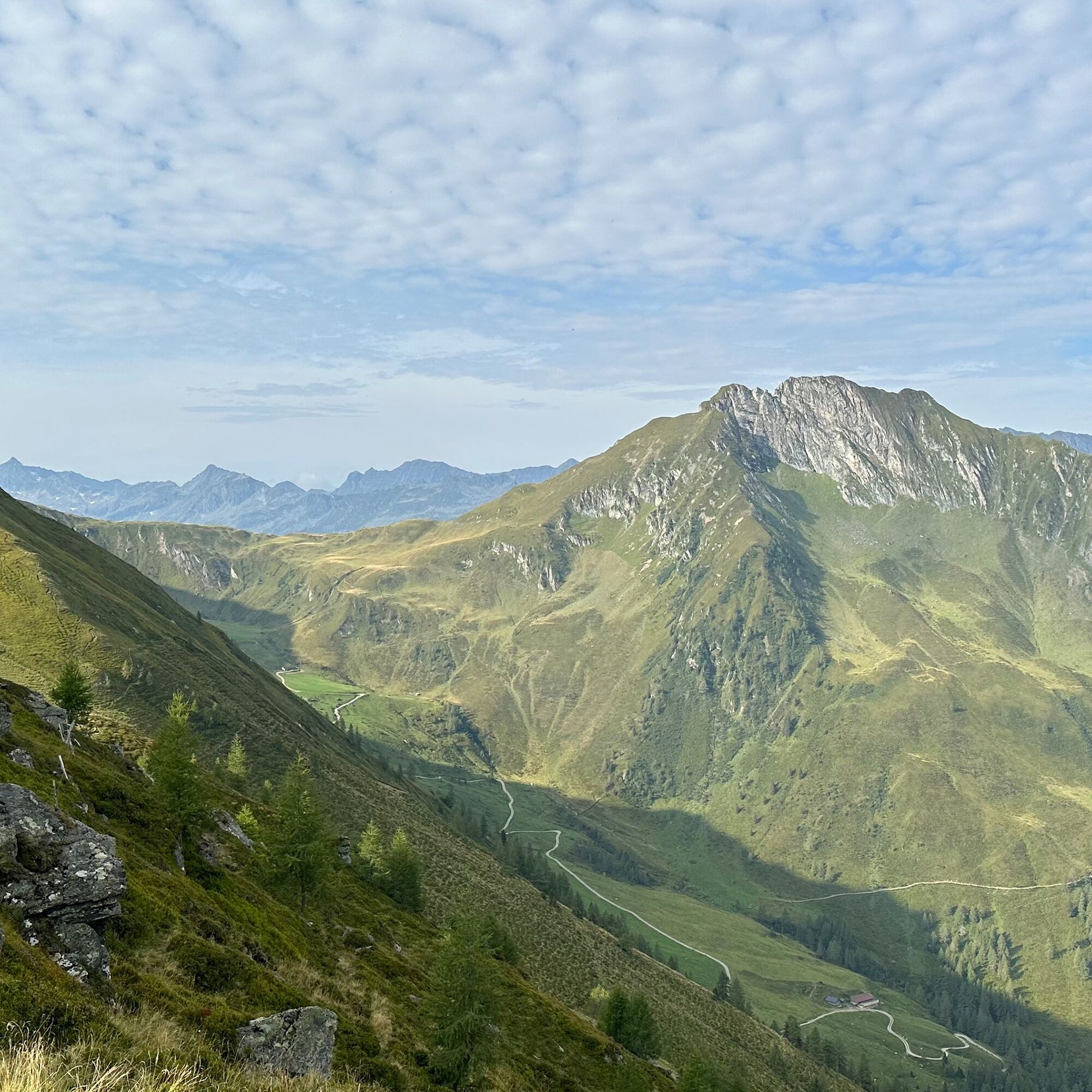
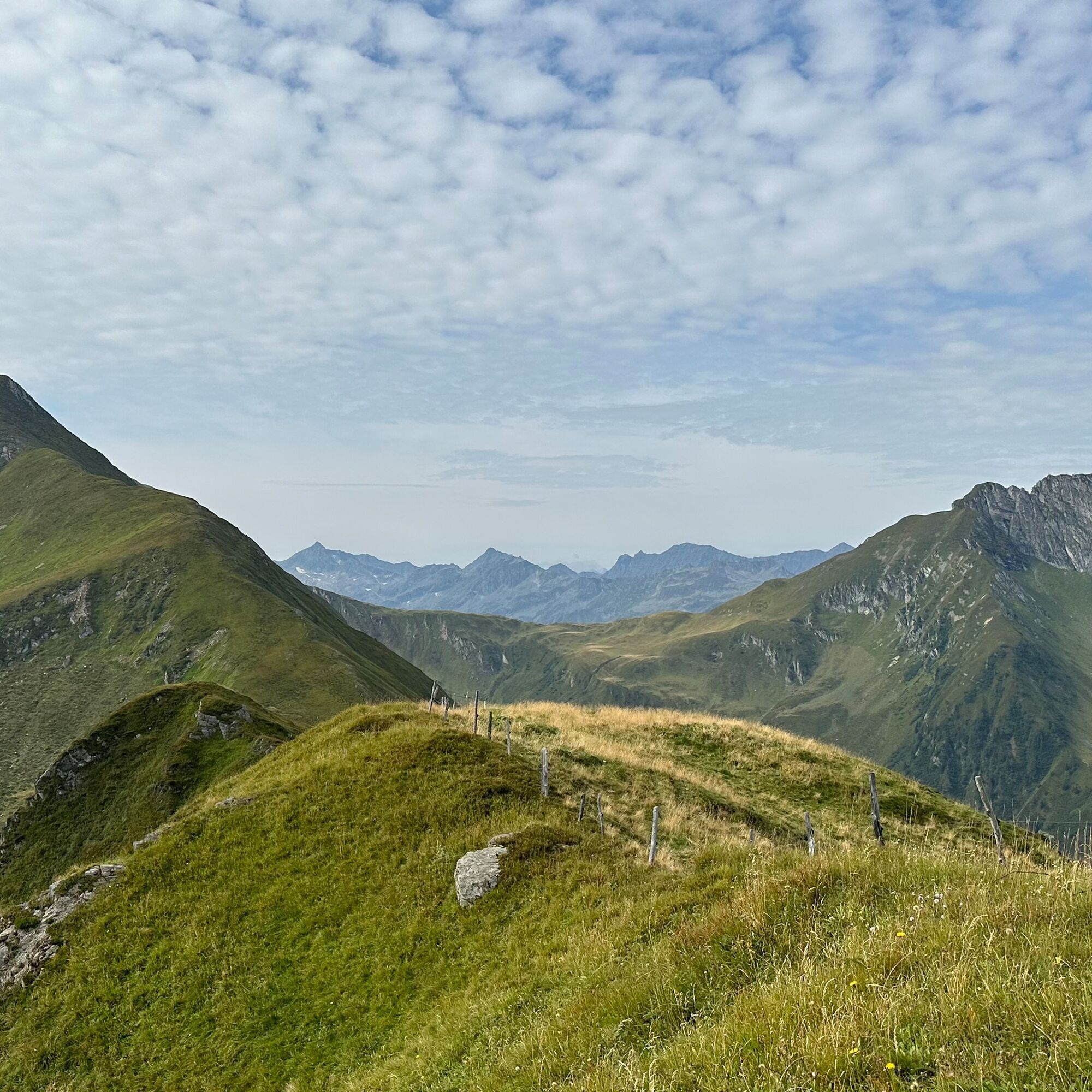
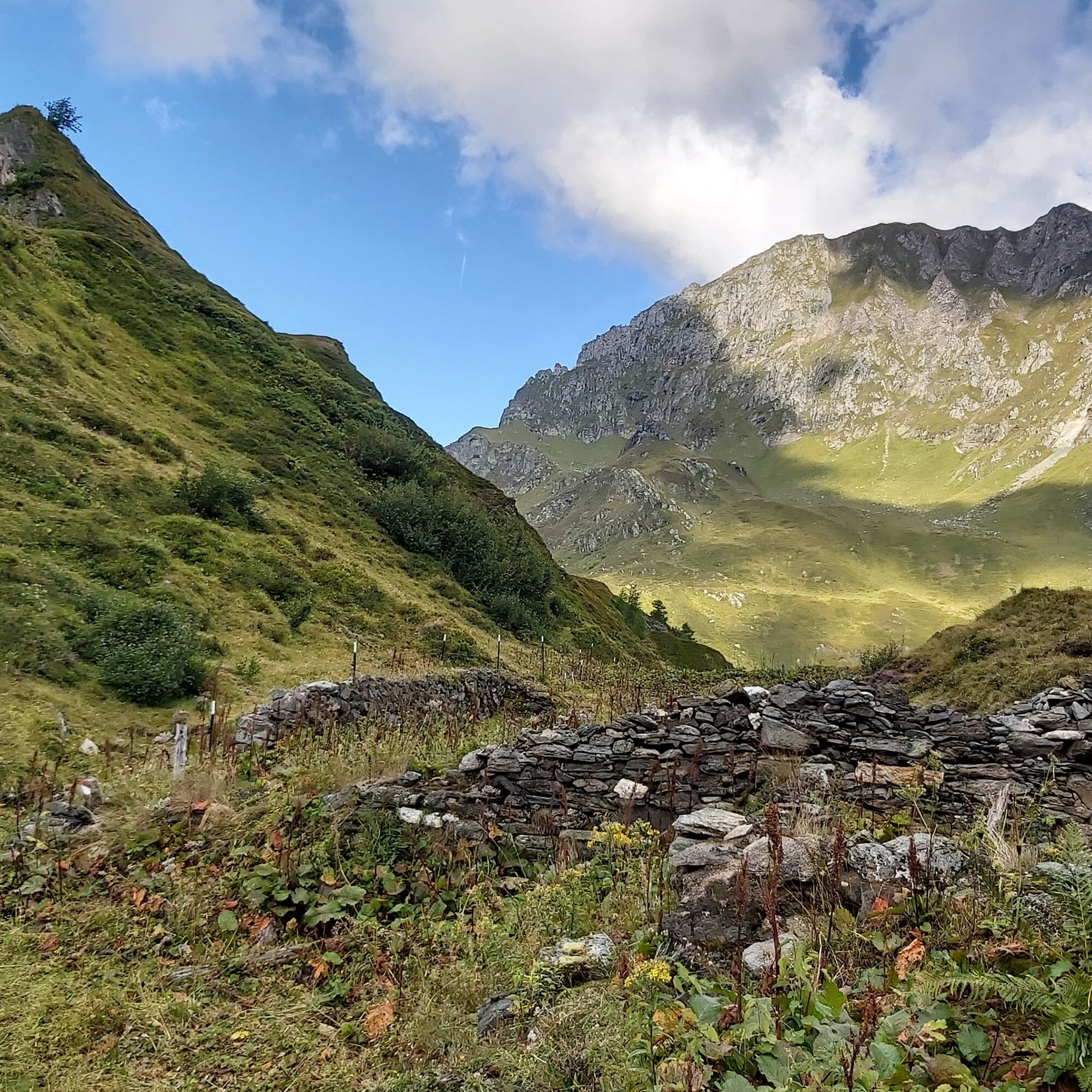

From the hiking info point on Dorfstraße, follow trail no. 1 and Zillerstraße to the fork and turn right onto Rattensbachweg. Continue to the barrier and then on the forest road and trail 720 to Steingassl. Now follow trail 719 to Schaunberg Mitteralm and continue downhill to Schaunbergalm. Return to the starting point via the forest road, trail no. 722 and/or the Pionier-/Vitalisweg.
Hiking taxi Schaunbergalm: Euro Taxi Tel. +43 664 5001 964 or info@eurotaxi.at
Trail running shoes, lightweight & breathable clothing, wind/rain jacket, backpack or running vest, poles, drink (water, energy drink), food (bars, fruit, gels), headlamp (recommended), sun protection, first aid kit (rescue blanket, blister plasters, ...), mobile phone, map
Dear trail runners!
We hope that the snacks and drinks you bring on your route give you the strength to carry back the packaging and the empty cans and bottles.
Running, walking, ... off the marked routes/paths is strictly prohibited.
Please comply with the Fair Play & Code of Conduct!
Fairness and mutual consideration form the basis for living together and safeguarding the diverse interests in the natural environment!
Ample parking available in the village center.
Start slowly with a warm-up to prepare your body for the uneven terrain. Run as you like and don’t overdo it.
Kamery internetowe z trasy
Uzyskaj wgląd
Zawsze na żywo z ponad 9 500 kamer internetowych. bergfex Jako użytkownik Pro, możesz teraz zobaczyć odpowiednie kamery internetowe dla wielu wycieczek w aplikacji wycieczki od. Pozwala to na bezpośredni podgląd aktualnych warunków.


Popularne wycieczki w okolicy
-
3,9
Mittersill - Hintersee und Plattachsee
ciężkiWędrówka 9,90 km -
4,3
Maurerkogel (Top)
Wędrówka 10,5 km -
4,6
Sigmund Thun Klamm, Klammsee, Bürgkogel
światłoWędrówka 4,56 km -
4,6
Runde um den Weißsee - Gletscherlehrpfad Uttendorf, Österreich
średniWędrówka 6,48 km -
4,9
Hochsonnberg Runde
średniMountainbike 59,8 km -
5,0
Wasserfallboden/Mooserboden
ciężkiWędrówka 19,5 km -
4,4
Sigmund Thun Klamm
światłoWędrówka 3,10 km -
4,6
Panorama route 3 peaks and 2 lakes
średniWędrówka 7,21 km -
4,9
Schmittenhöhe - Hochsonnbergalm - Pinzgauer Hut
średniWędrówka 9,09 km -
4,7
3 Oktober Fusch Walcher Grung und Hohalm
średniWędrówka 8,57 km
Wędrówki i tropienie


Nie przegap ofert i inspiracji na następne wakacje
Twój adres e-mail została dodana do listy mailingowej.





