







Trail running: UNTERBERGALM Piesendorf
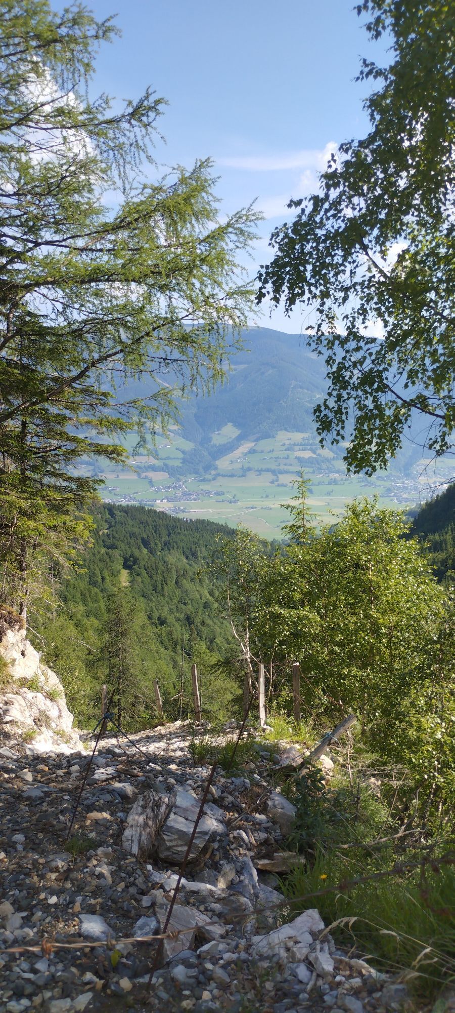
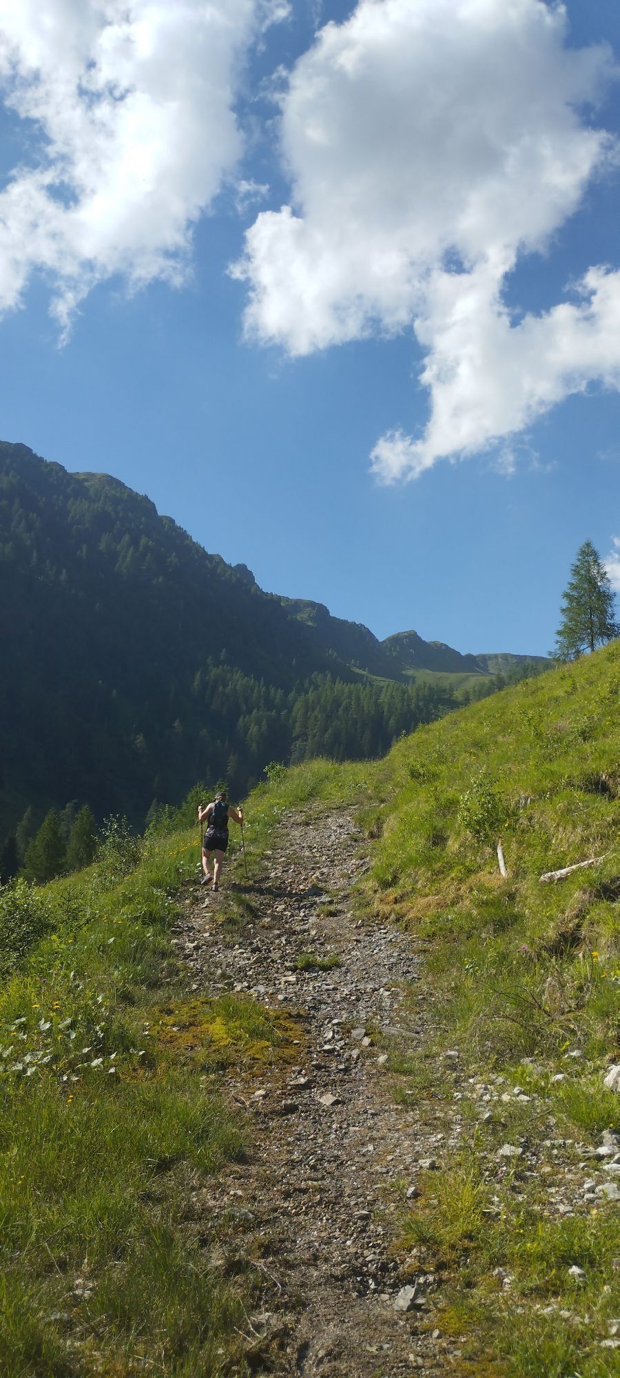
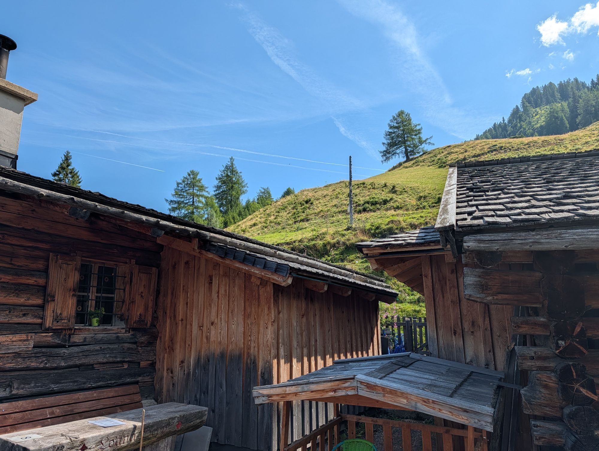
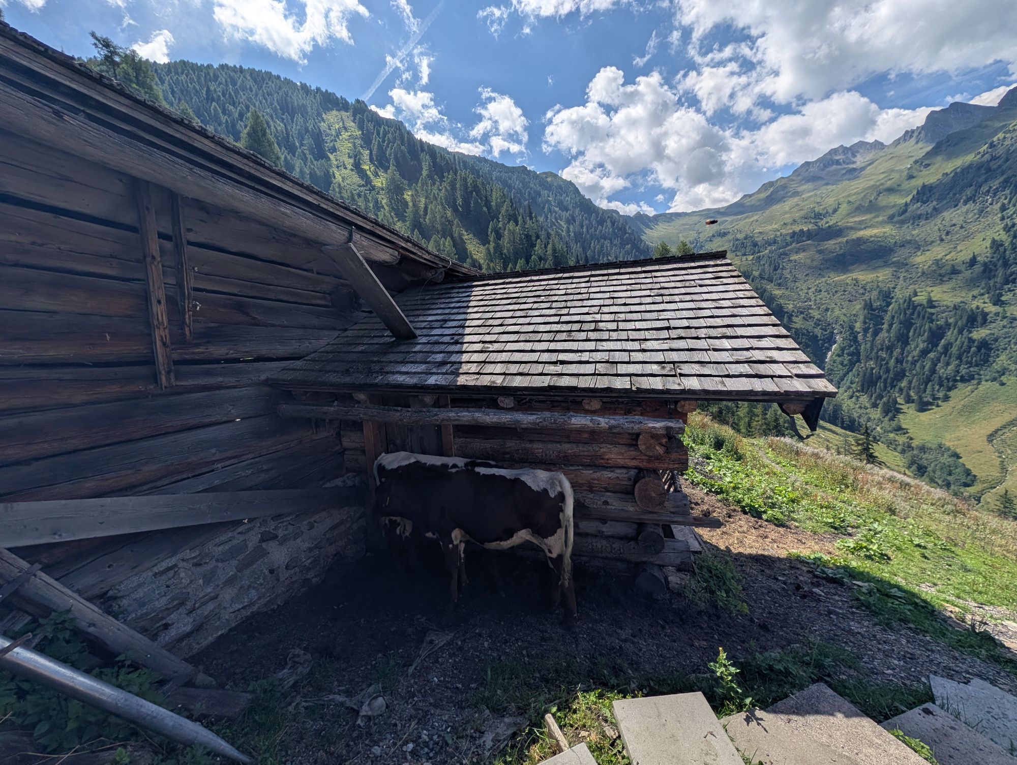
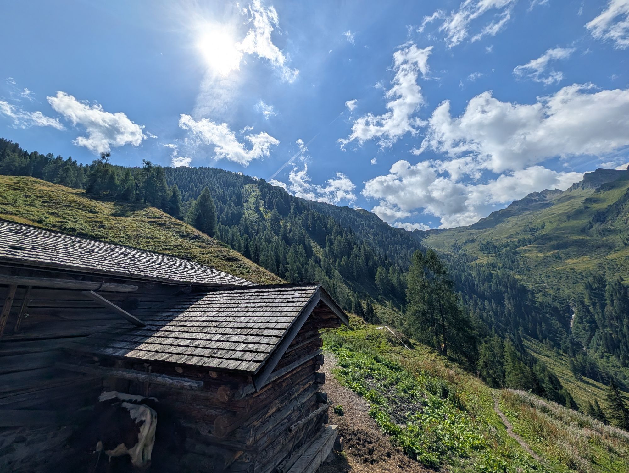
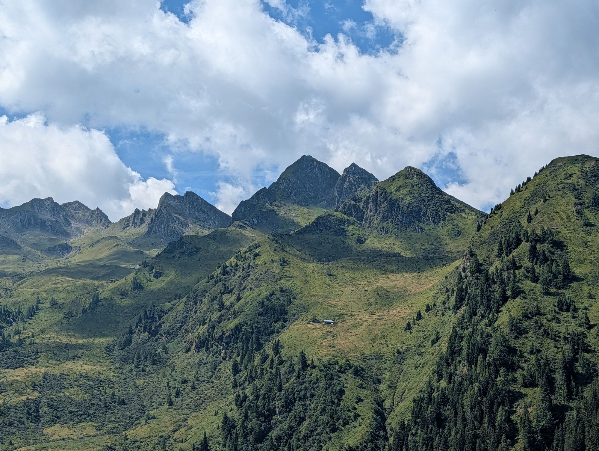
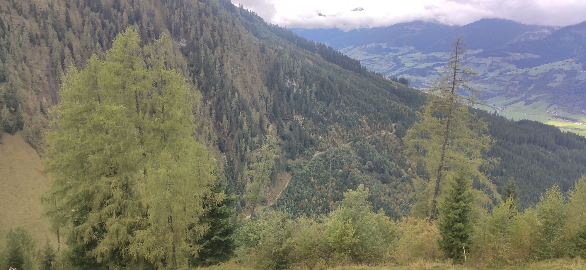
While you enjoy homemade products from the local agriculture on the sun terrace of Unterbergalm, you are also rewarded with a magnificent view of the Große (Hohe) Arche and the Kitzbühel Alps/Pinzgau grass...
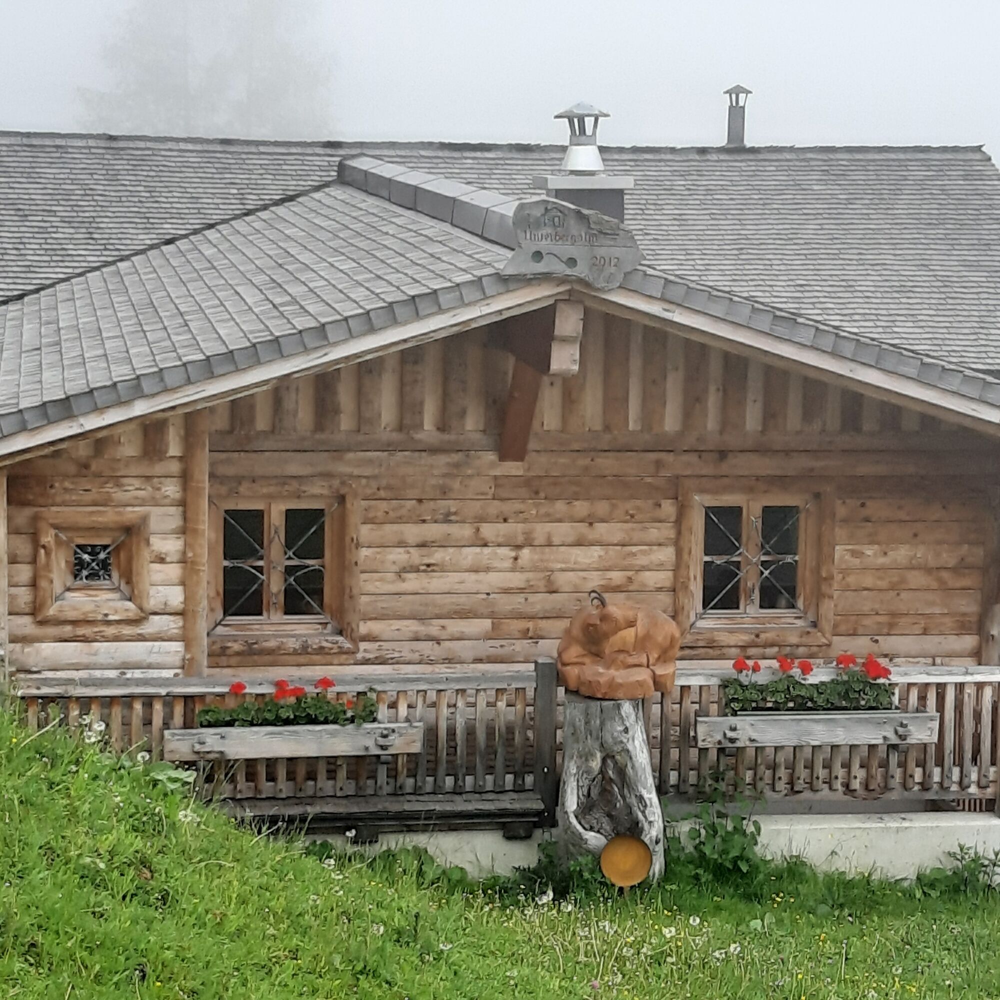
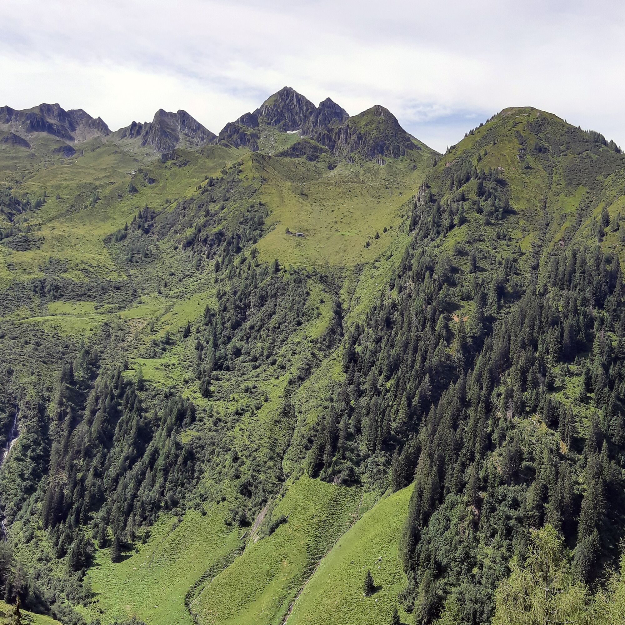
While you enjoy homemade products from the local agriculture on the sun terrace of Unterbergalm, you are also rewarded with a magnificent view of the Große (Hohe) Arche and the Kitzbühel Alps/Pinzgau grass mountains.

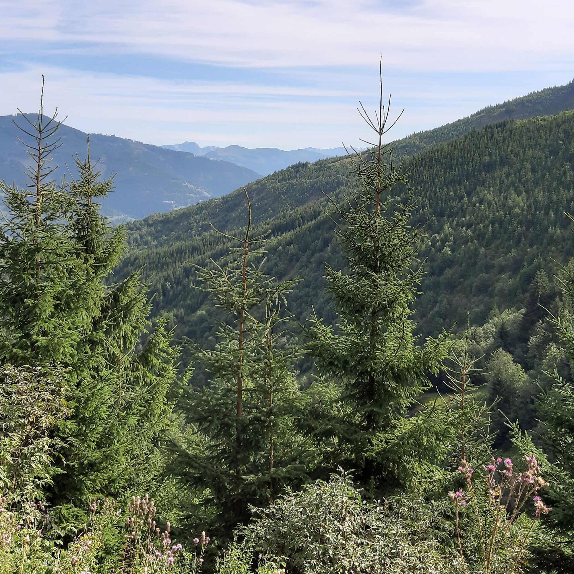
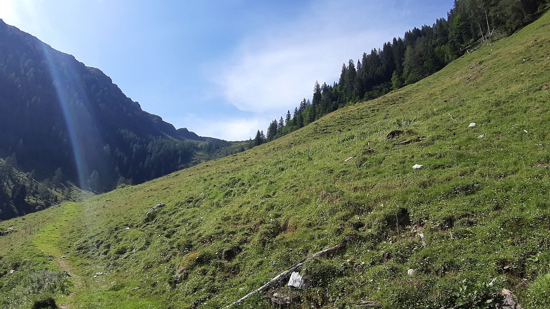

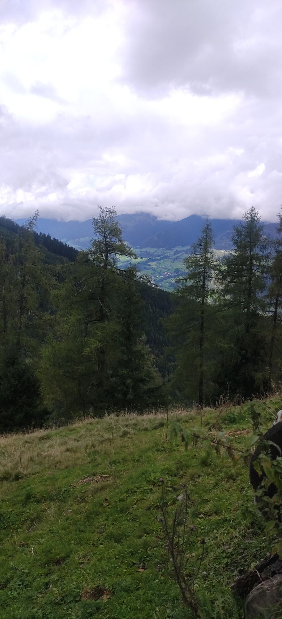
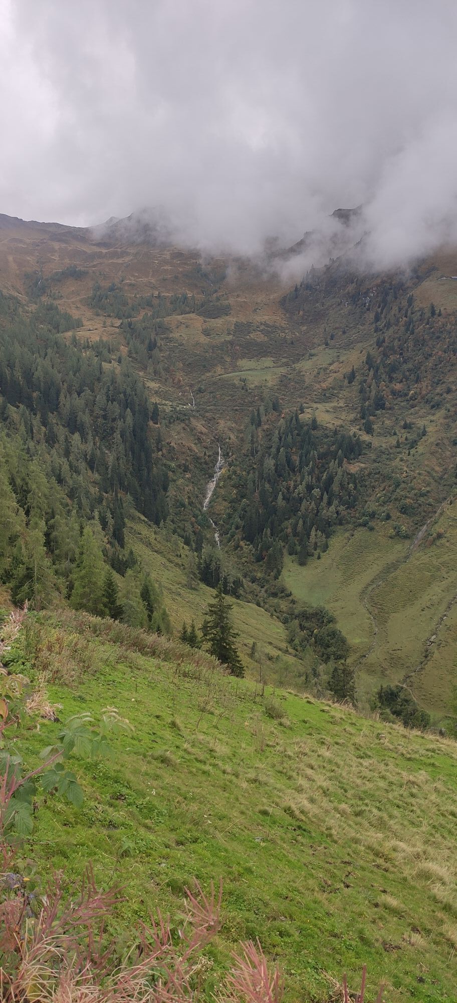
From the parking lot at Hummersdorf Bridge you run to Dietlgut and then uphill towards Bam and Unterholz. After that, the hiking trail no. 14A leads over Erlach Grundalm to Unterbergalm. Then the trail run follows the trail no. 14B back to the starting point.
Trail running shoes, light & breathable clothing, wind/rain jacket, backpack or running vest, poles, drink (water, energy drink), food (bars, fruit, gels), headlamp if needed (recommended), sun protection, first aid kit (rescue blanket, blister plasters, ...), mobile phone, map
Dear trail runners!
We hope that your snack and drinks that you take on your route will give you the strength to carry back the packaging material and the empty cans and bottles.
Running, walking, ... off the marked routes/paths is strictly prohibited.
Please adhere to the Fair Play & rules of conduct!
Fairness and mutual consideration form the basis for coexistence and the preservation of diverse interests in the natural environment!
Parking available!
Start slowly with a warm-up to prepare your body for the uneven terrain. Run as you like and don't overdo it.
Kamery internetowe z trasy
Uzyskaj wgląd
Zawsze na żywo z ponad 9 500 kamer internetowych. bergfex Jako użytkownik Pro, możesz teraz zobaczyć odpowiednie kamery internetowe dla wielu wycieczek w aplikacji wycieczki od. Pozwala to na bezpośredni podgląd aktualnych warunków.


Popularne wycieczki w okolicy
-
4,3
Maurerkogel (Top)
Wędrówka 10,5 km -
4,6
Sigmund Thun Klamm, Klammsee, Bürgkogel
światłoWędrówka 4,56 km -
4,6
Thumersbach, Runde um den Zeller See
światłoWędrówka 13,3 km -
4,6
Runde um den Weißsee - Gletscherlehrpfad Uttendorf, Österreich
średniWędrówka 6,48 km -
4,9
Hochsonnberg Runde
średniMountainbike 59,8 km -
5,0
Wasserfallboden/Mooserboden
ciężkiWędrówka 19,5 km -
4,4
Sigmund Thun Klamm
światłoWędrówka 3,10 km -
4,3
Hundstein-Runde von Maria Alm
ciężkiMountainbike 44,4 km -
4,6
Panorama route 3 peaks and 2 lakes
średniWędrówka 7,21 km -
4,9
Schmittenhöhe - Hochsonnbergalm - Pinzgauer Hut
średniWędrówka 9,09 km
Wędrówki i tropienie


Nie przegap ofert i inspiracji na następne wakacje
Twój adres e-mail została dodana do listy mailingowej.





