



Marble path, hiking trail no. 51

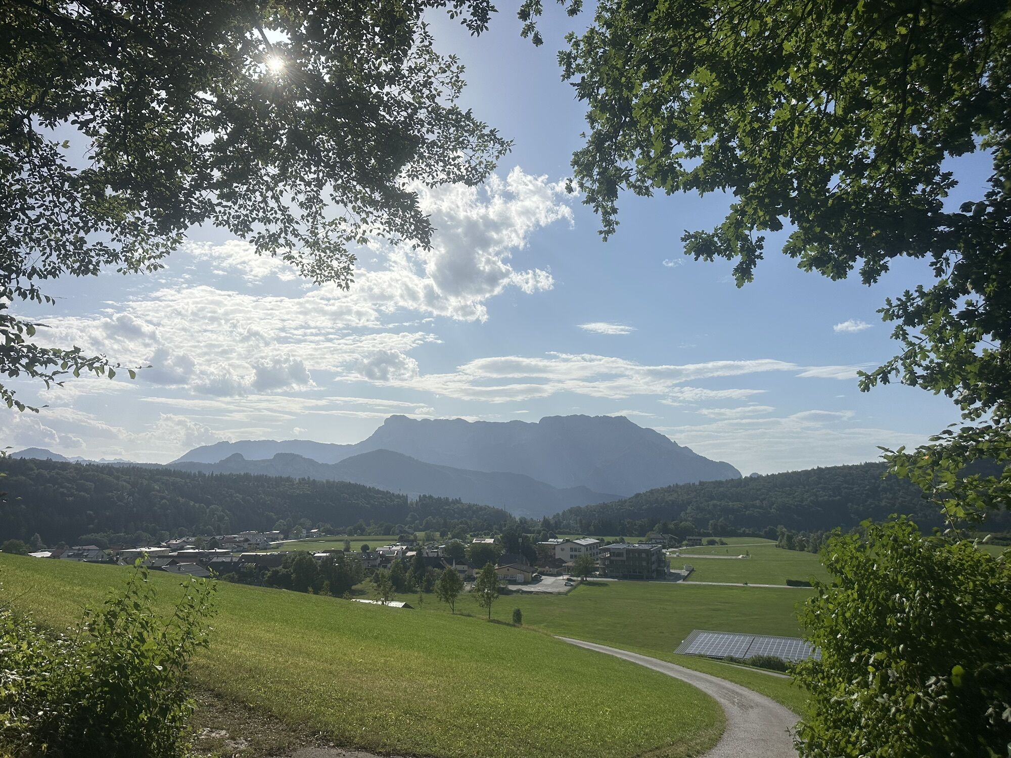


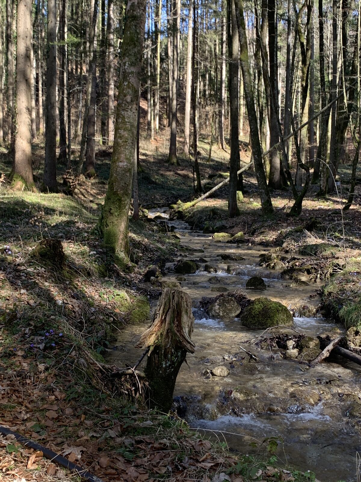


After the parish church (parking lot), the slightly ascending path to the Adneter marble quarries begins approx. 200 m to the left in the direction of the forest. The 15 different stations are clearly...
After the parish church (parking lot), the slightly ascending path to the Adneter marble quarries begins approx. 200 m to the left in the direction of the forest. The 15 different stations are clearly visible and described in detail.
The hike ends after a slightly downhill path to the village.
Walking time approx. 1.5 hours

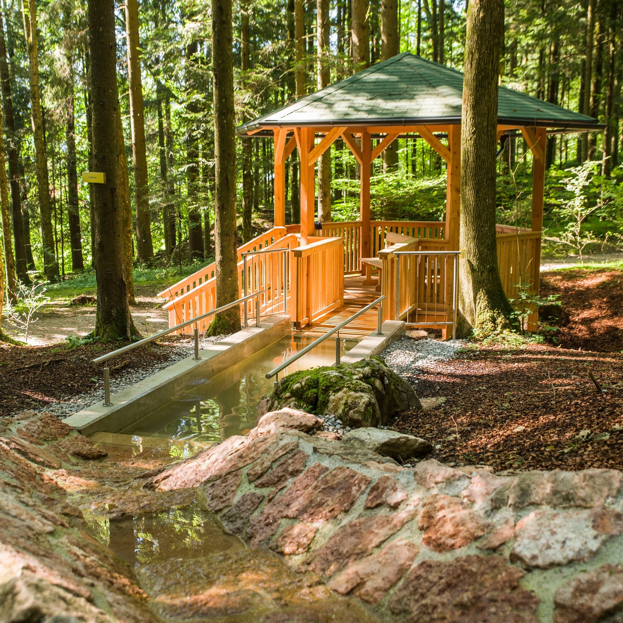
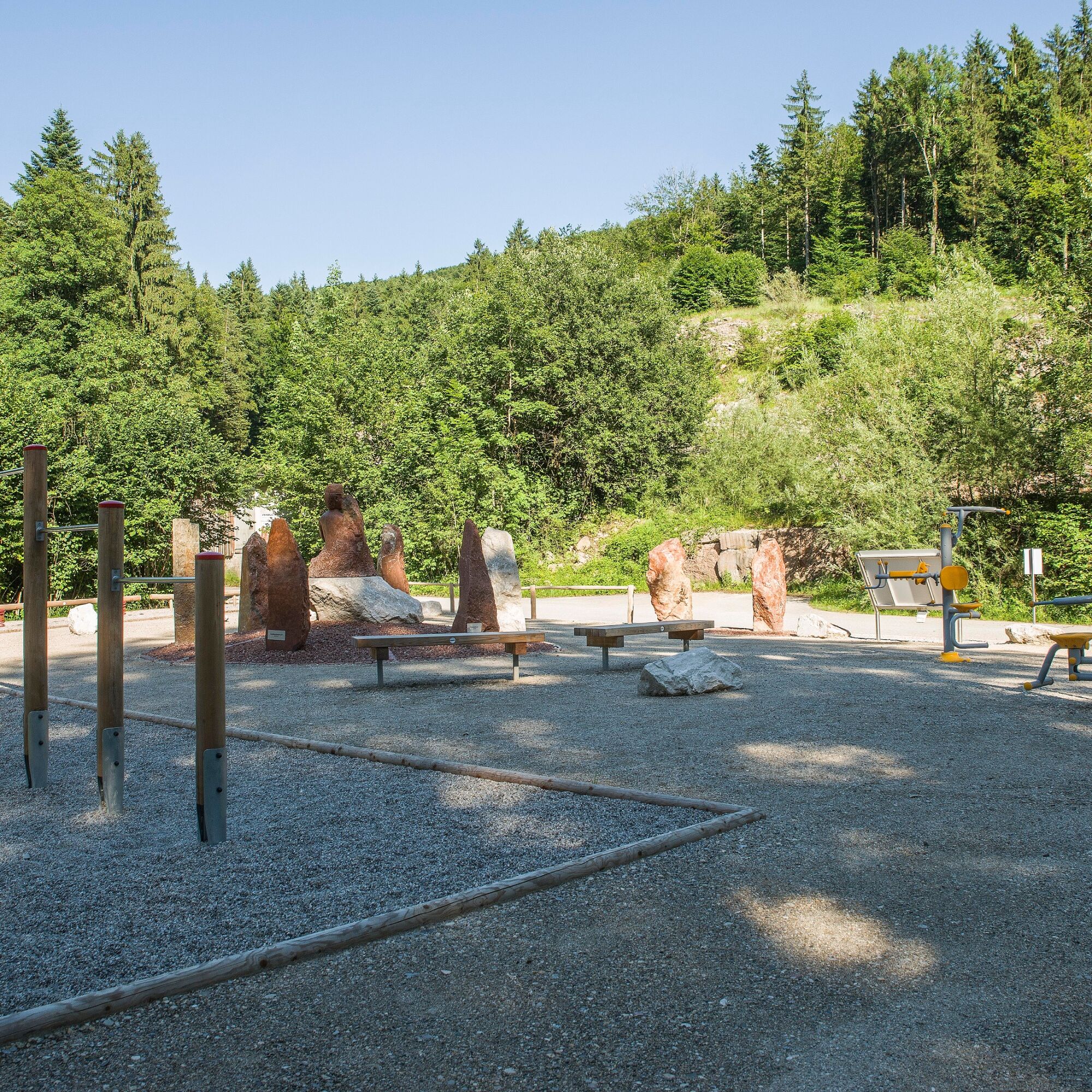

After the parish church (parking lot), the slightly ascending path to the Adneter marble quarries begins approx. 200 m to the left in the direction of the forest. The 15 different stations are clearly visible and described in detail.
The hike ends after a slightly downhill path to the village.
Walking time approx. 1.5 hours
Tak
From Hallein via the Wiestal Landesstraße L107 to the Adnet junction. Turn right here and follow the road to the center of the village / church. The parking lot is opposite the church, to the right below the road.
From Hallein train station, take the Postbus 450 to the center of Adnet. The tour can be started from here, to the starting point parking lot below the church approx. 5 minutes on foot.
Free parking lot below the parish church
Kamery internetowe z trasy

Popularne wycieczki w okolicy
-
4,0
Bärenweg am Lidaun
światłoWędrówka 9,05 km -
4,7
Schwarzer Berg / Golling
średniWędrówka 2,54 km -
4,4
Fuschlseewanderung
światłoWędrówka 11 km -
4,6
Kneifelspitze
Wędrówka 2,53 km -
4,2
Durch die Almbachklamm nach Ettenberg
Wędrówka 7,54 km -
4,3
Untersberg, Toni-Lenz-Hütte
Wędrówka 4,86 km -
4,7
Great and Small Barmstein, the landmarks of Hallein
ciężkiWędrówka 6,58 km -
4,9
Untersberg (Salzburger Hochthron)
średniWędrówka 11,8 km -
4,4
From Koppl to the Gaisberg summit
średniWędrówka 9,86 km -
4,4
Hike to the Kleiner Barmstein via the Thürndl ruin
średniWędrówka 4,20 km
Wędrówki i tropienie


Nie przegap ofert i inspiracji na następne wakacje
Twój adres e-mail została dodana do listy mailingowej.


