


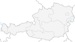


Skitouring Klingspitz
Zdjęcia naszych użytkowników

 © JordyUtworzono dnia 14.07.2025
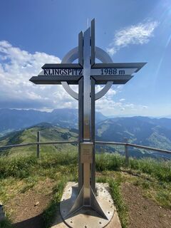
 © Jakob KUtworzono dnia 03.07.2025
 © Gerhard Mild 1Utworzono dnia 11.03.2026
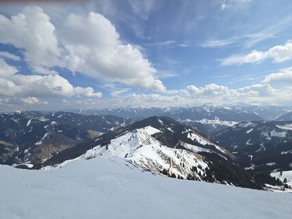 © Gerhard Mild 1Utworzono dnia 11.03.2026
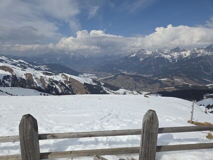 © Gerhard Mild 1Utworzono dnia 11.03.2026
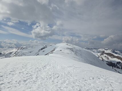 © Gerhard Mild 1Utworzono dnia 11.03.2026
 © Gerhard Mild 1Utworzono dnia 11.03.2026
 © Klaus LehnerUtworzono dnia 18.02.2025
 © Klaus LehnerUtworzono dnia 18.02.2025
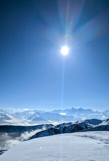 © Klaus LehnerUtworzono dnia 18.02.2025
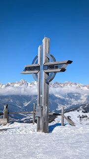 © Klaus LehnerUtworzono dnia 18.02.2025
 © Klaus LehnerUtworzono dnia 18.02.2025
 © Klaus LehnerUtworzono dnia 18.02.2025
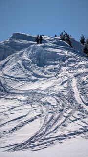 © Klaus LehnerUtworzono dnia 18.02.2025
 © Klaus LehnerUtworzono dnia 18.02.2025
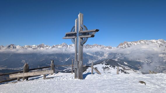 © Klaus LehnerUtworzono dnia 18.02.2025
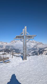 © Klaus LehnerUtworzono dnia 18.02.2025
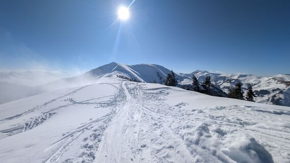 © Klaus LehnerUtworzono dnia 18.02.2025
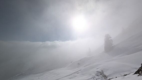 © Klaus LehnerUtworzono dnia 18.02.2025
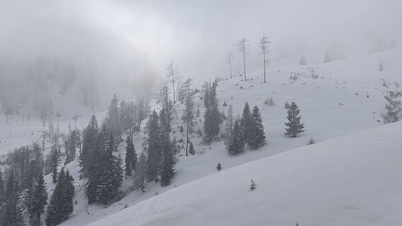 © Klaus LehnerUtworzono dnia 18.02.2025
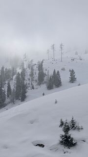 © Klaus LehnerUtworzono dnia 18.02.2025
 © Klaus LehnerUtworzono dnia 18.02.2025
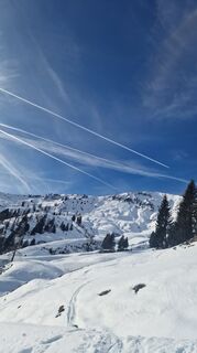
 © Isabella Schwaiger-MoserUtworzono dnia 25.01.2025
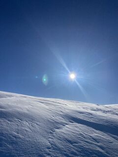
 © Johannes Müller 5Utworzono dnia 18.01.2025
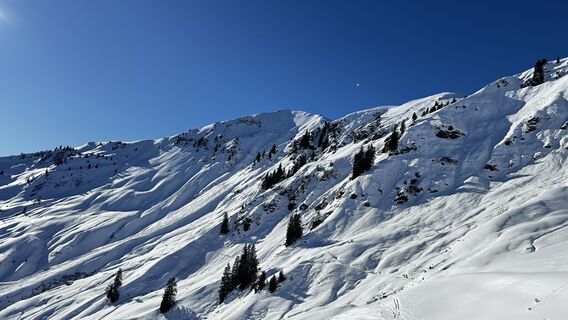
 © Manfred KarlUtworzono dnia 17.01.2025
 © Manfred KarlUtworzono dnia 17.01.2025
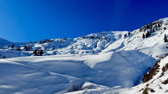 © Manfred KarlUtworzono dnia 17.01.2025
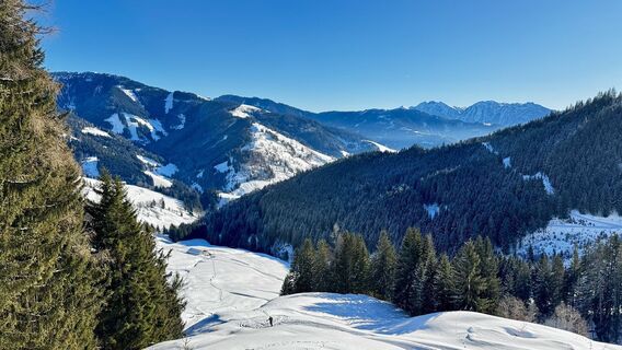 © Manfred KarlUtworzono dnia 17.01.2025
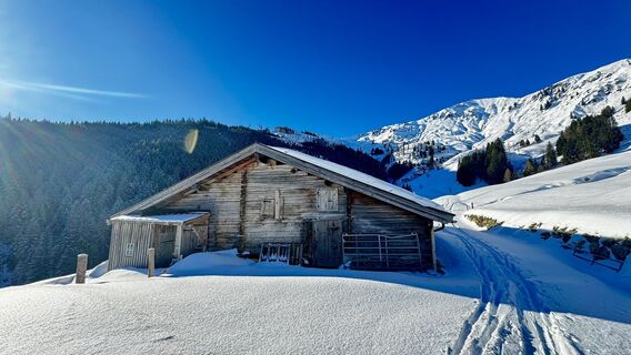 © Manfred KarlUtworzono dnia 17.01.2025
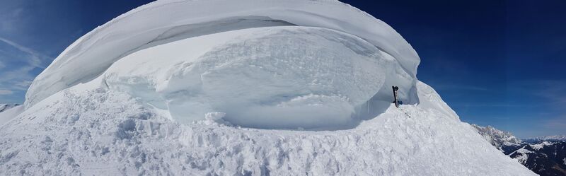
 © G FUtworzono dnia 13.03.2021
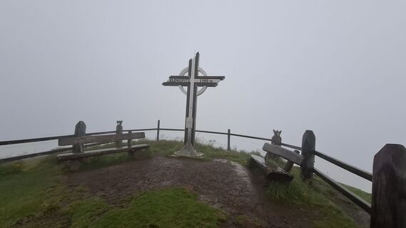 © JordyUtworzono dnia 14.07.2025
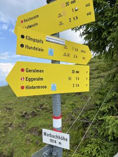 © AdeptorixUtworzono dnia 11.07.2024
 © Daniela HacklUtworzono dnia 29.09.2025
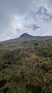 © Daniela HacklUtworzono dnia 29.09.2025
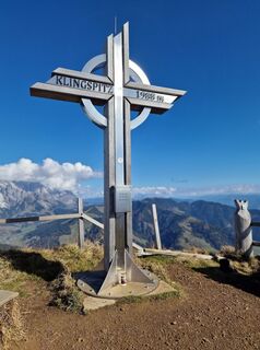 © Isabella Schwaiger-MoserUtworzono dnia 30.10.2024
 © Isabella Schwaiger-MoserUtworzono dnia 30.10.2024
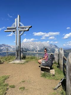
 © Marina IUtworzono dnia 21.08.2023
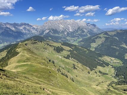 © Marina IUtworzono dnia 21.08.2023
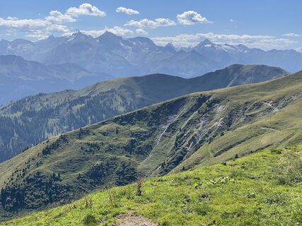 © Marina IUtworzono dnia 21.08.2023
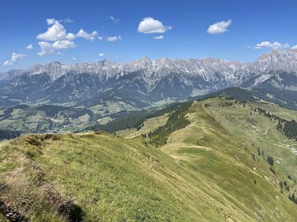 © Marina IUtworzono dnia 21.08.2023
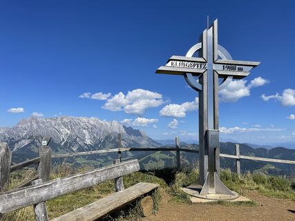 © Marina IUtworzono dnia 21.08.2023
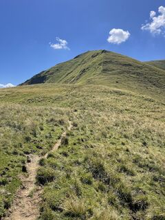 © Marina IUtworzono dnia 21.08.2023
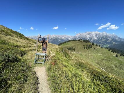 © Marina IUtworzono dnia 21.08.2023
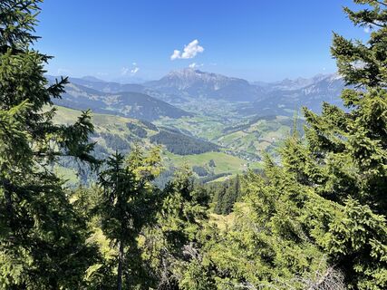 © Marina IUtworzono dnia 21.08.2023
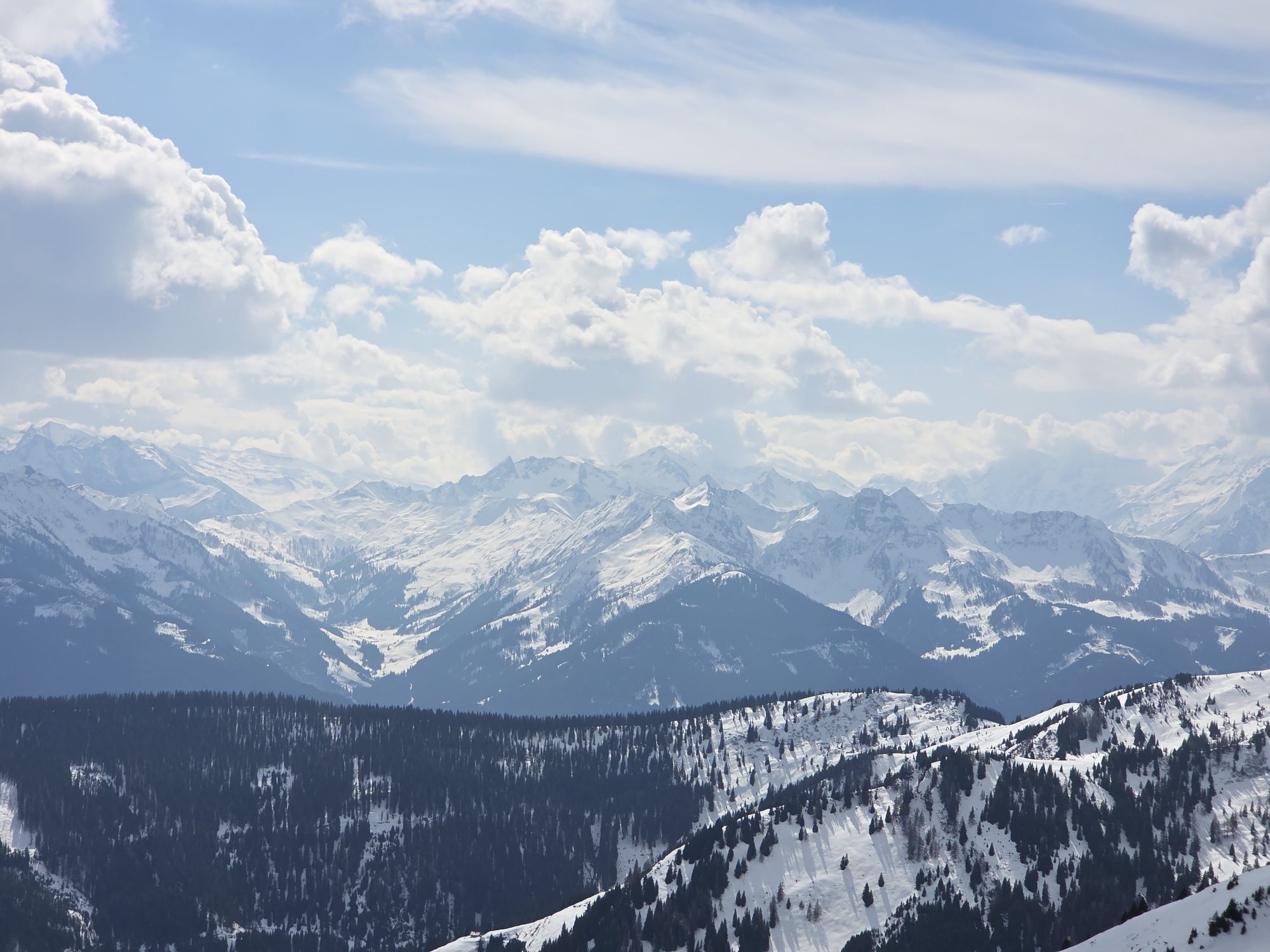

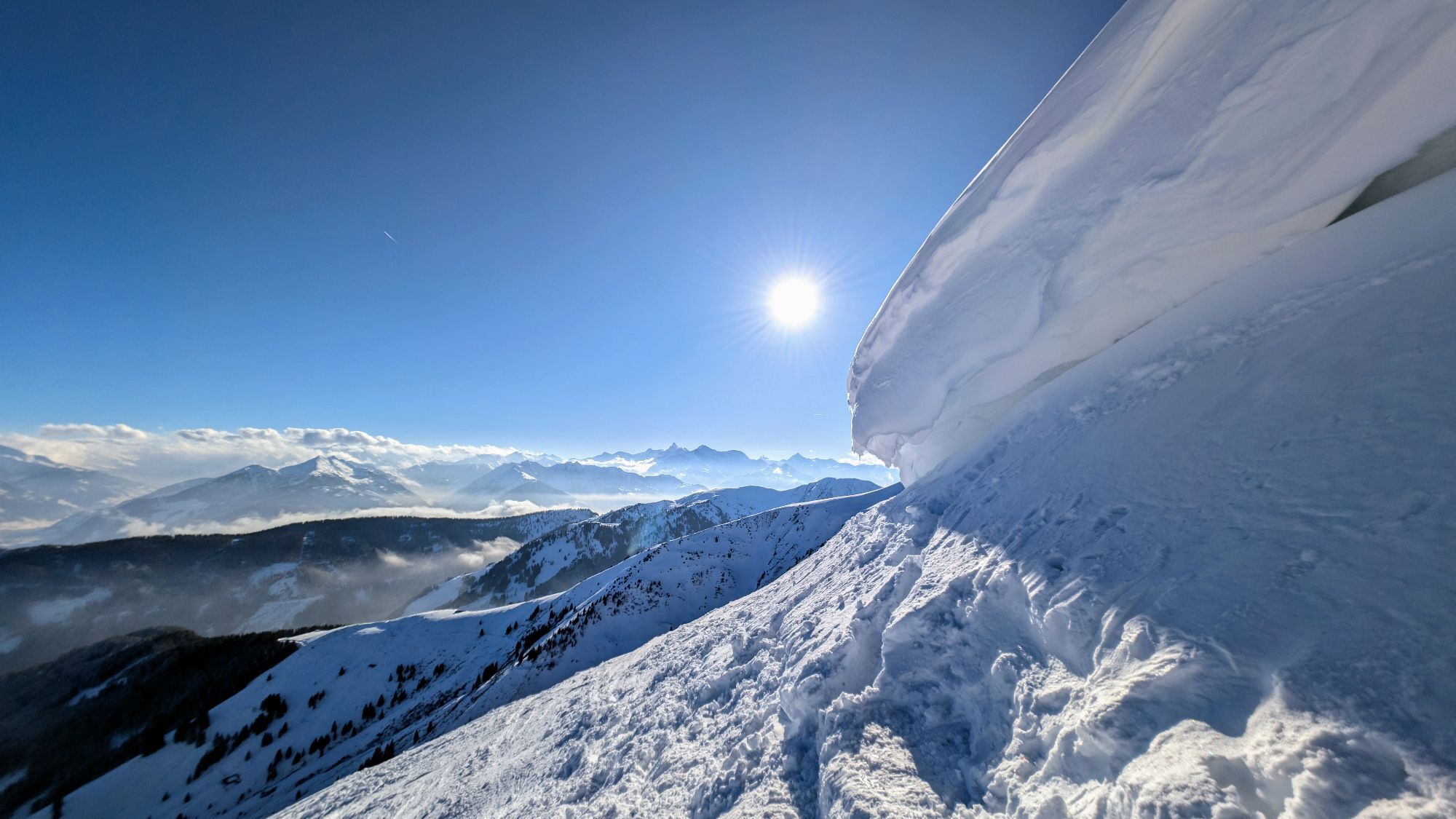
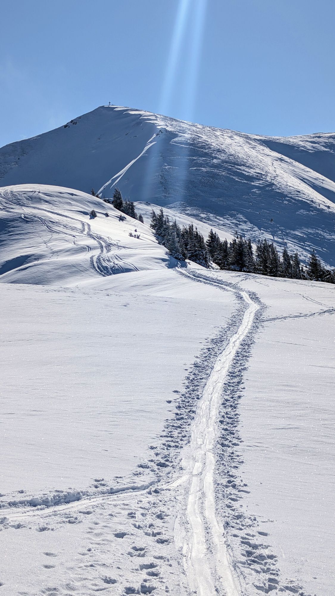
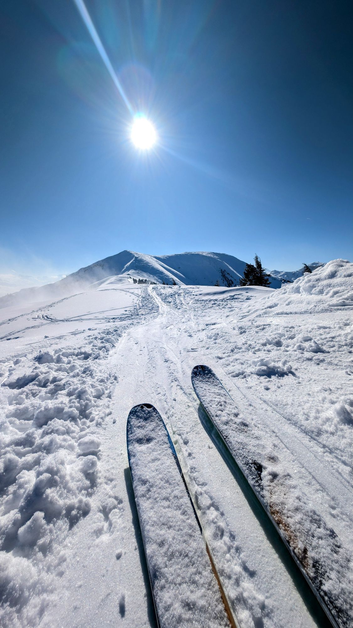
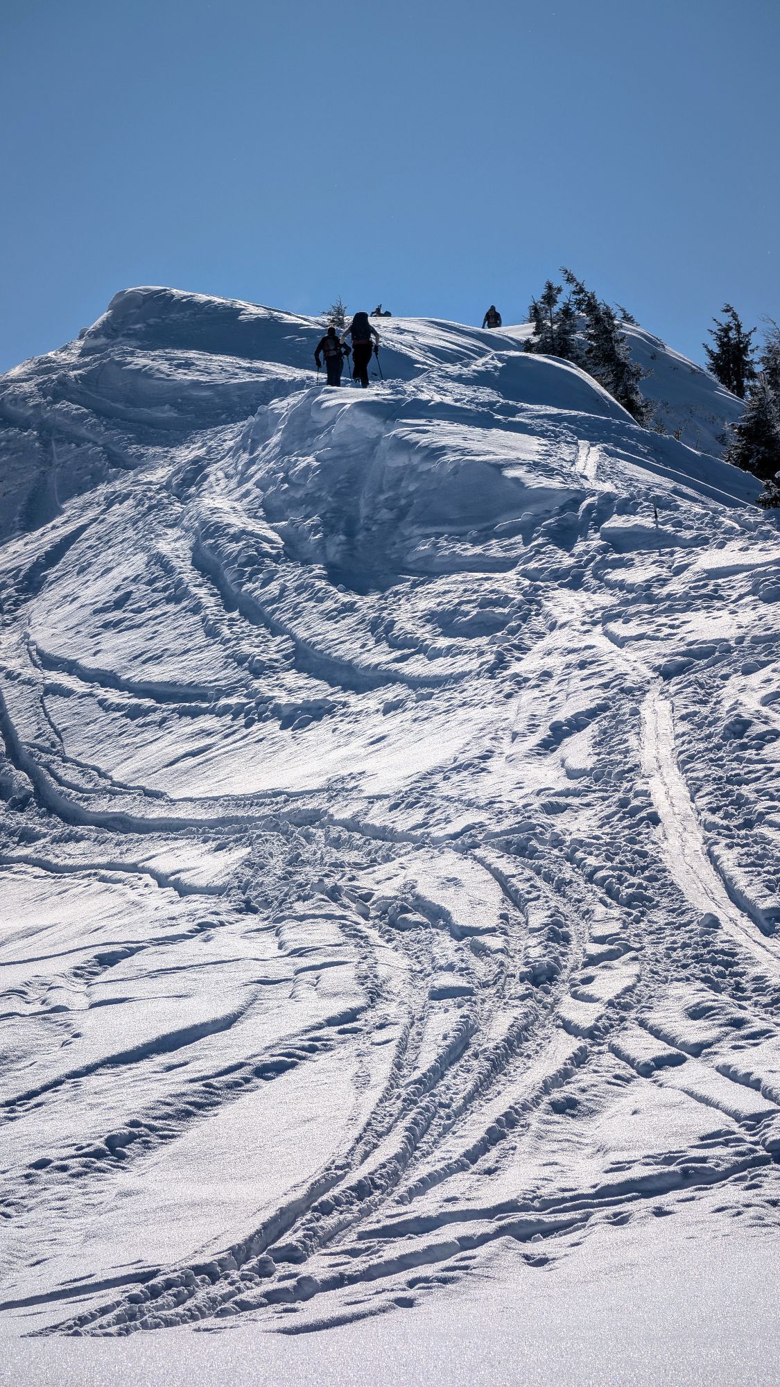
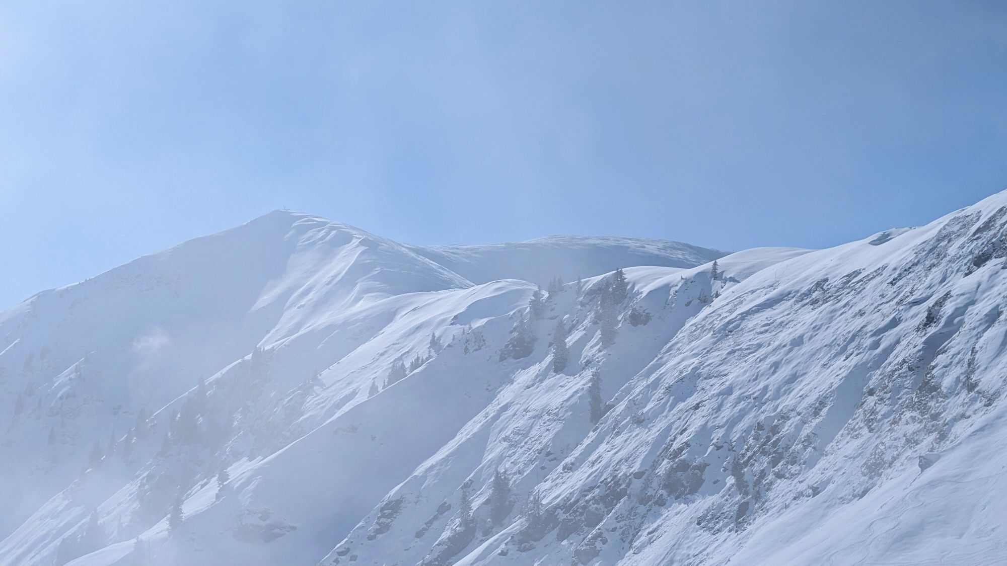

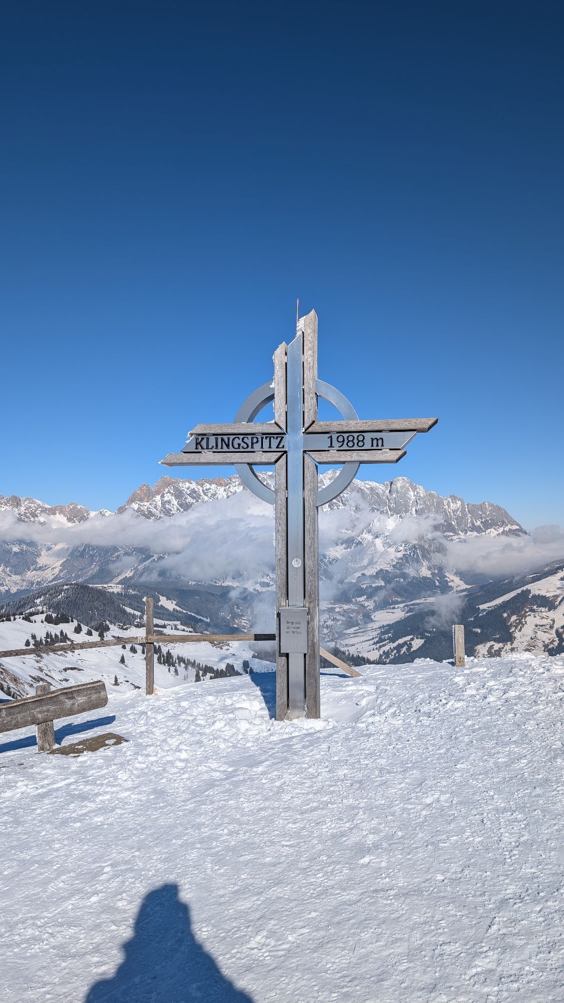
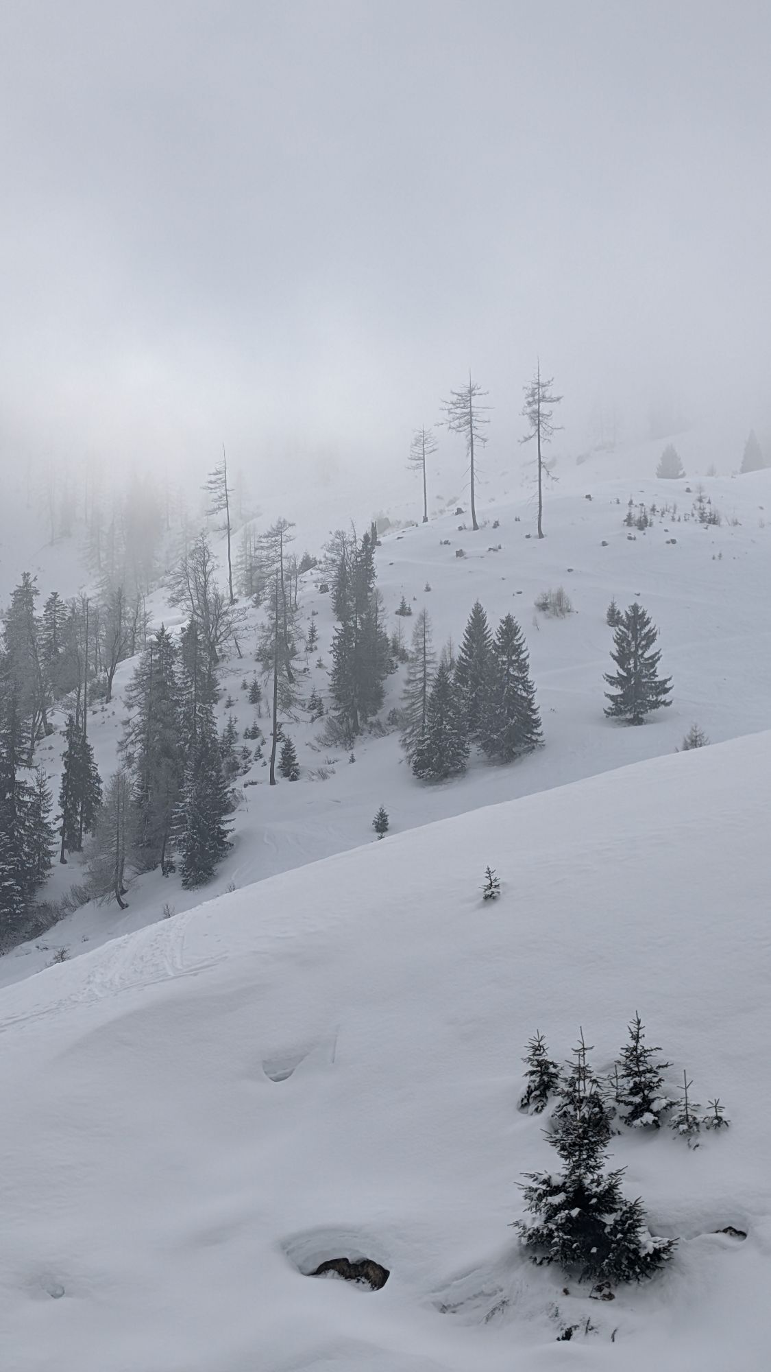
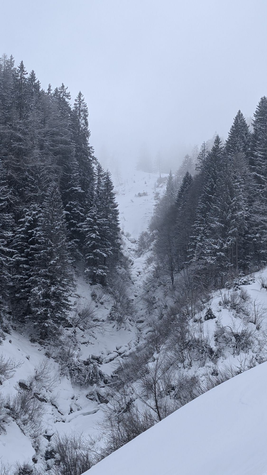

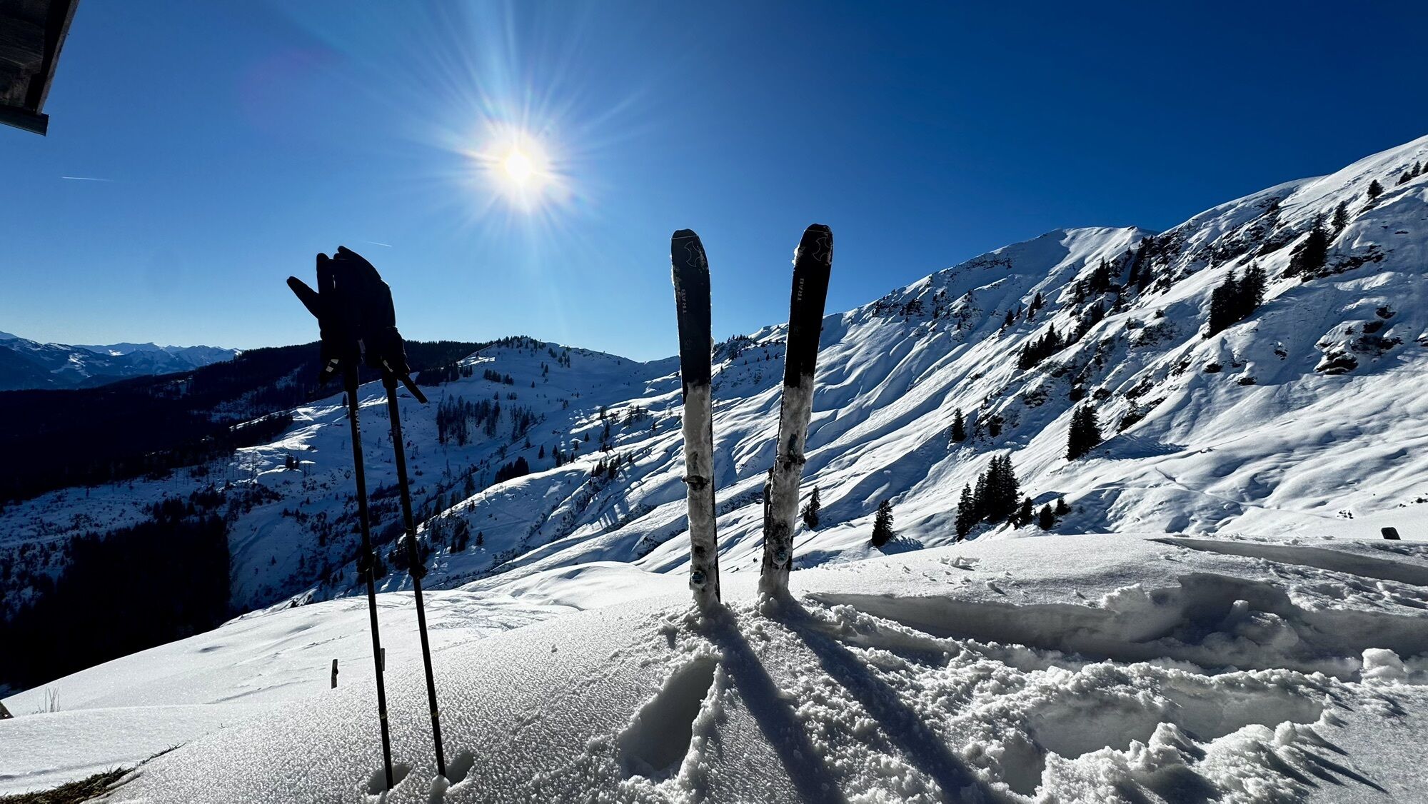


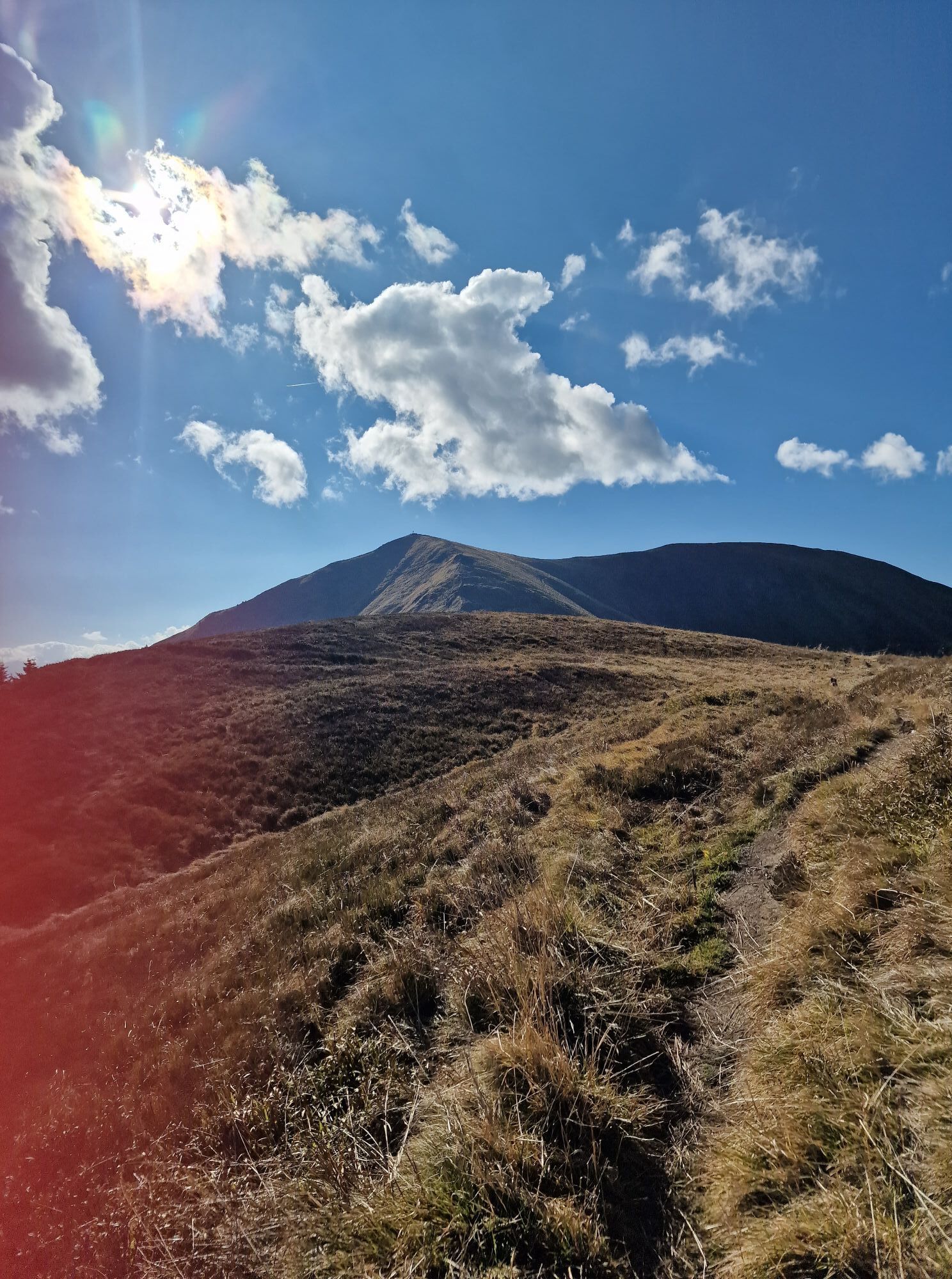


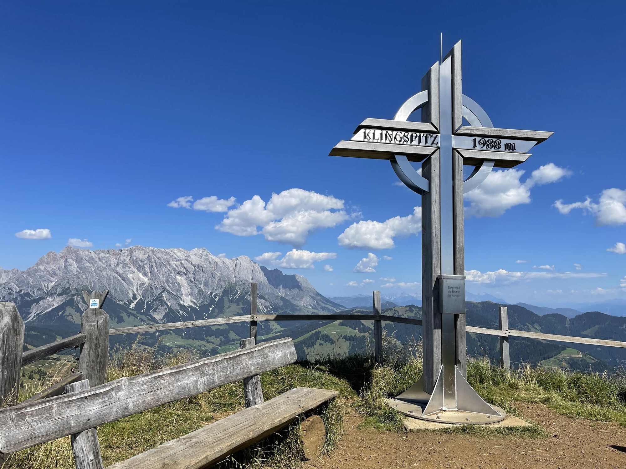
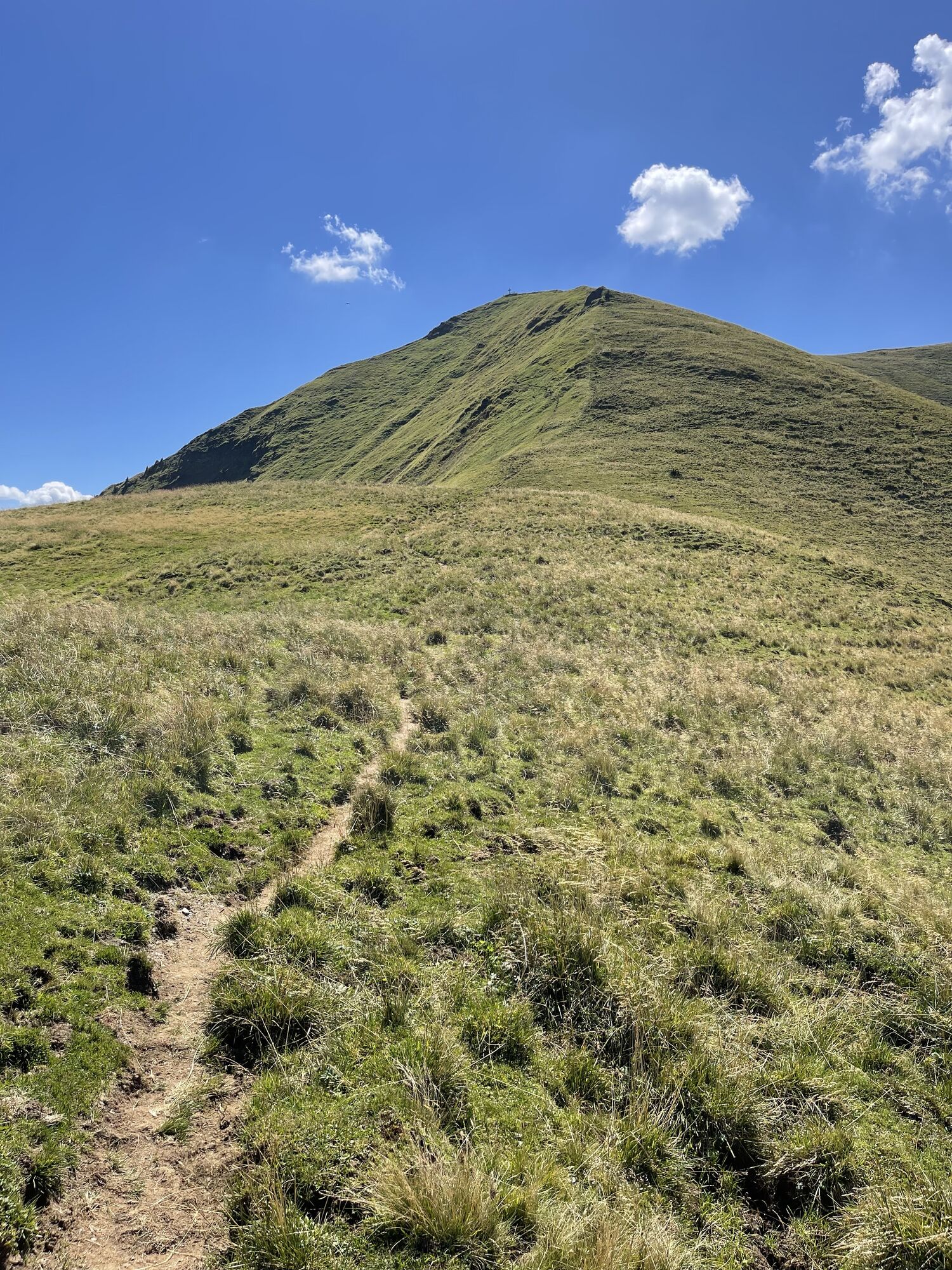


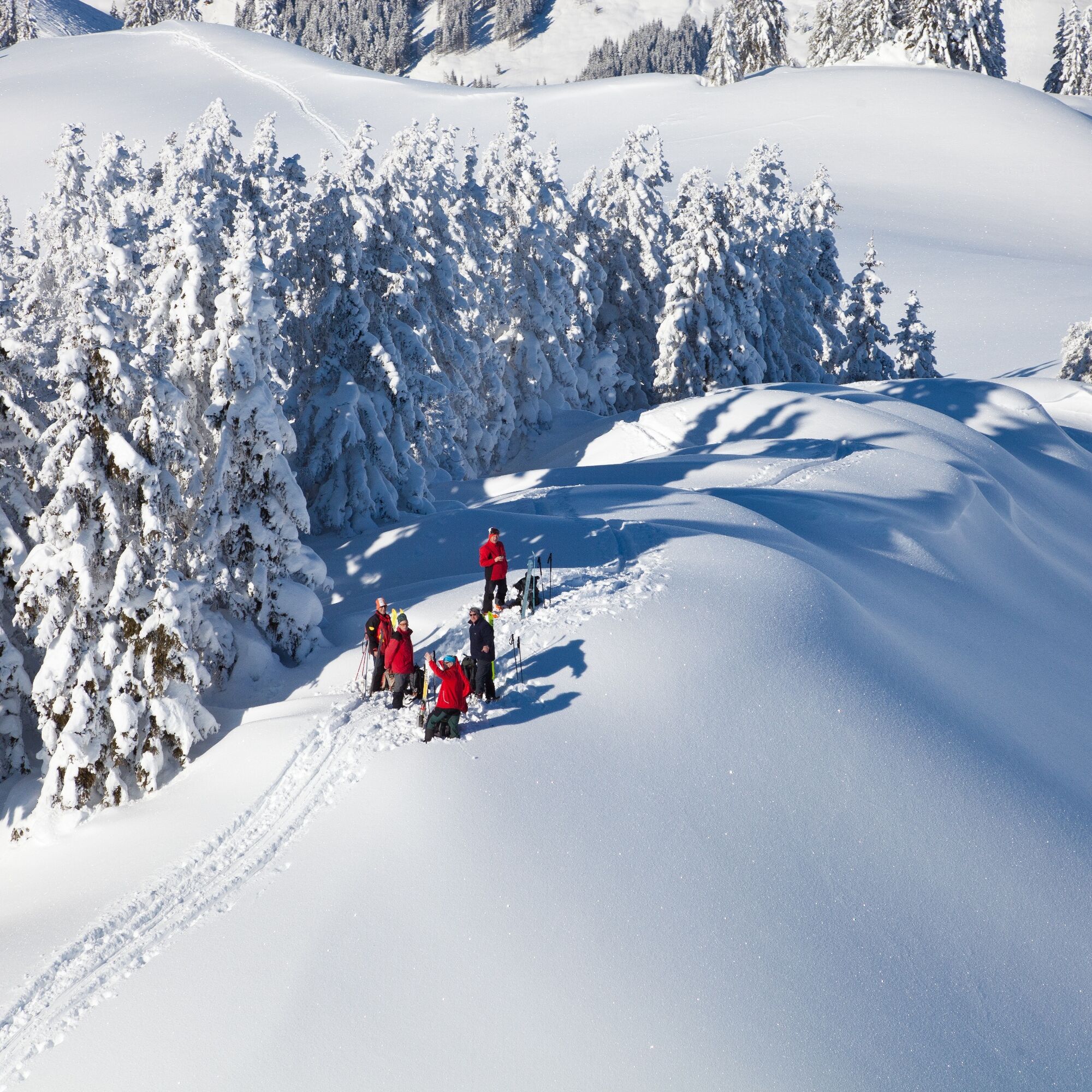
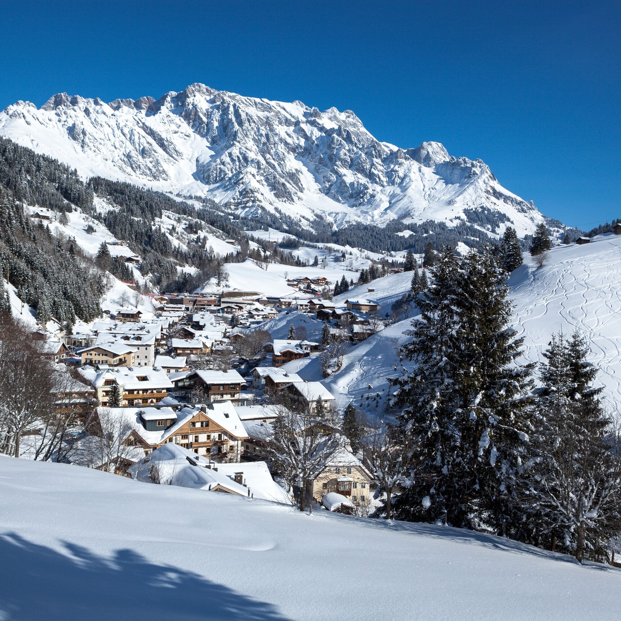
The Klingspitze is a popular ski tour among the locals and is therefore usually groomed. Orientation is therefore not difficult. The ascent via the Reicheralm is somewhat longer and flatter and therefore...
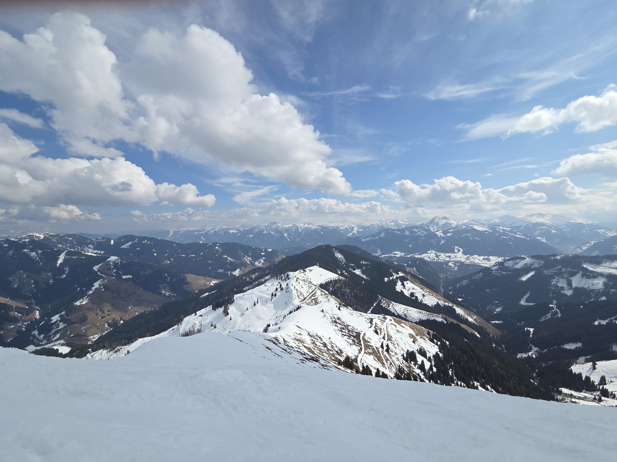
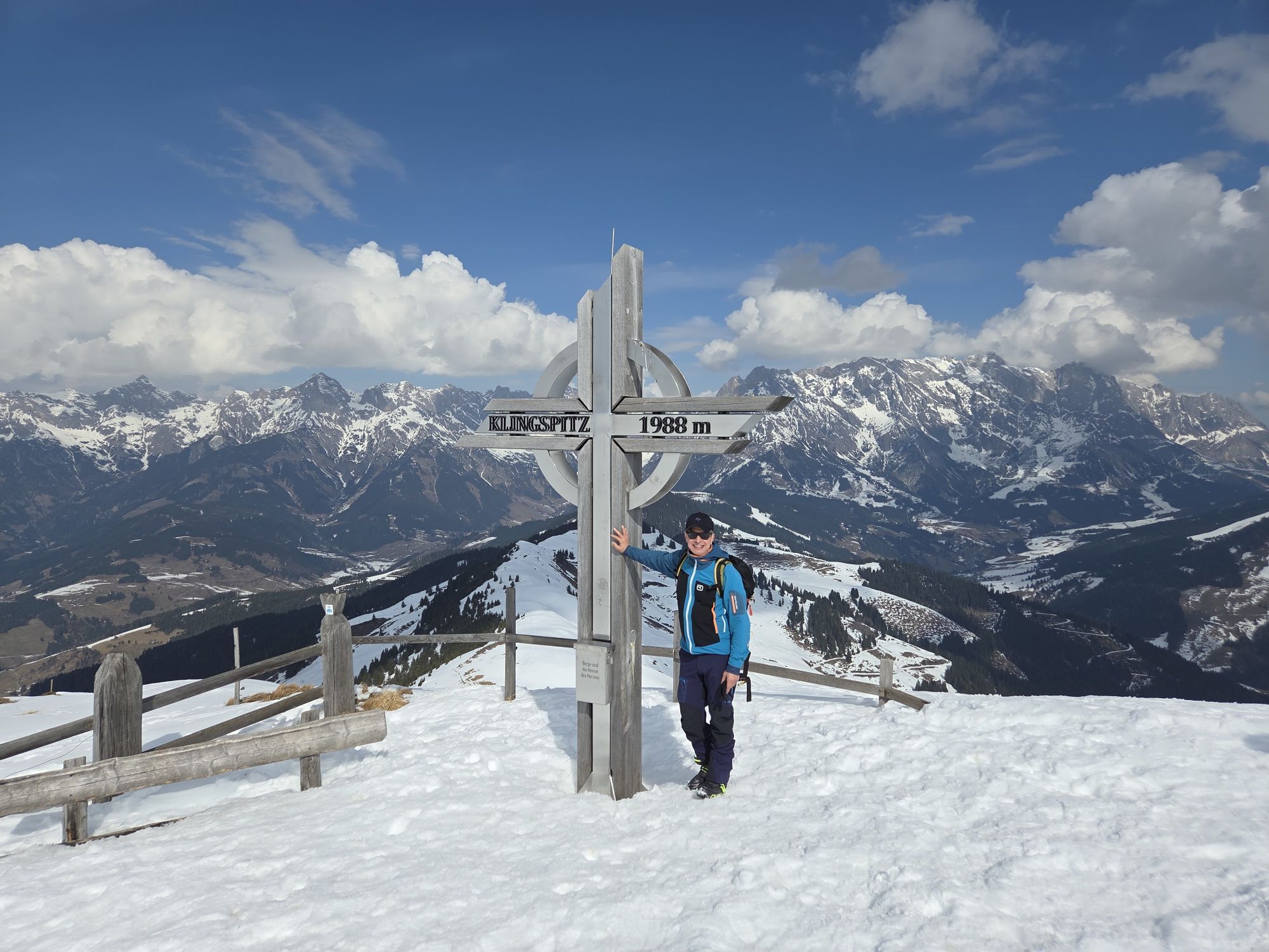
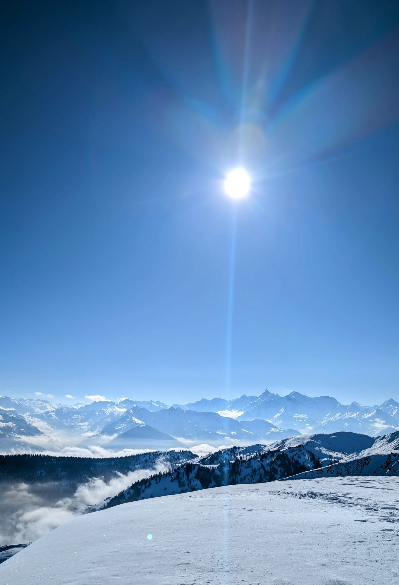
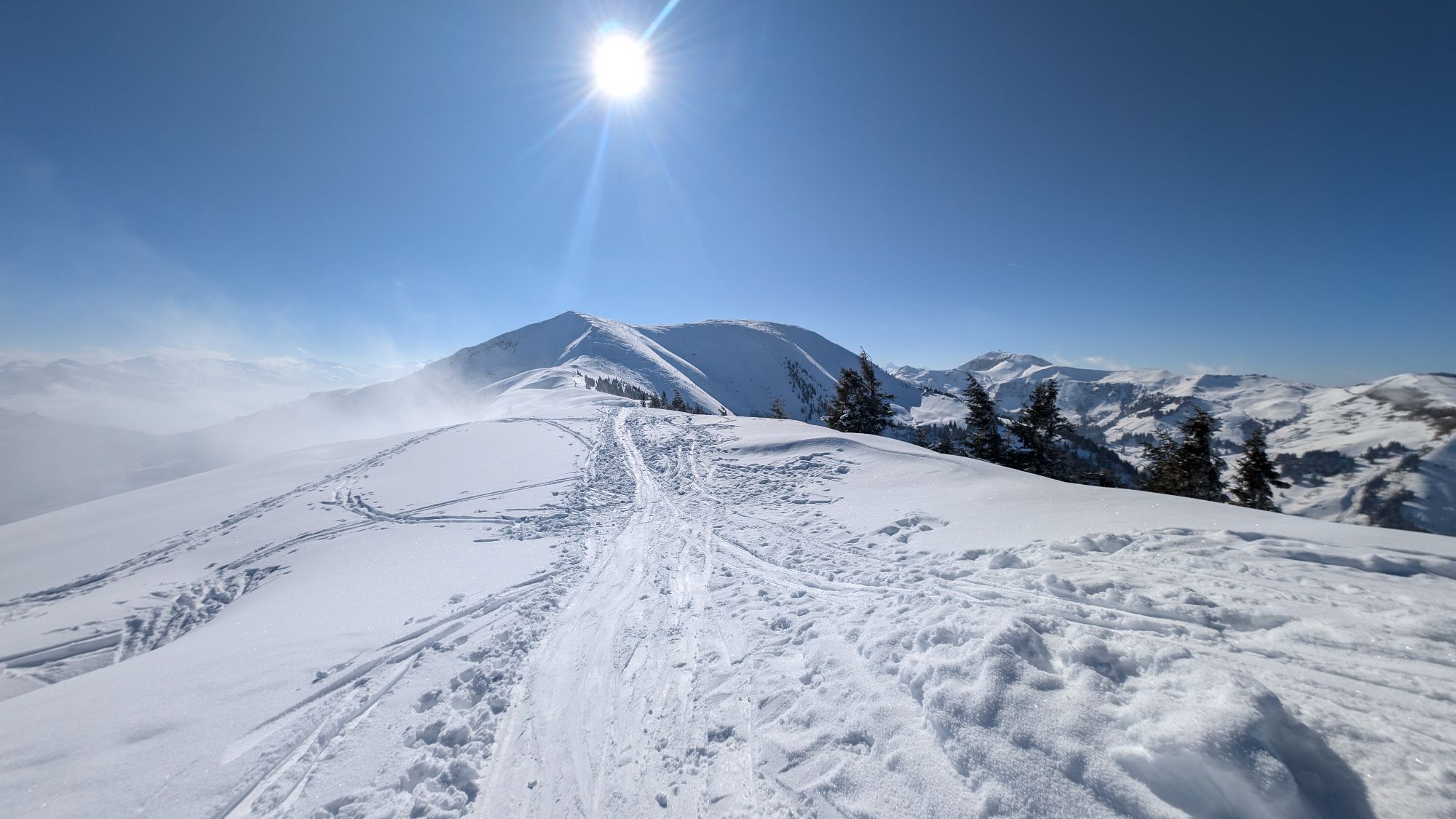
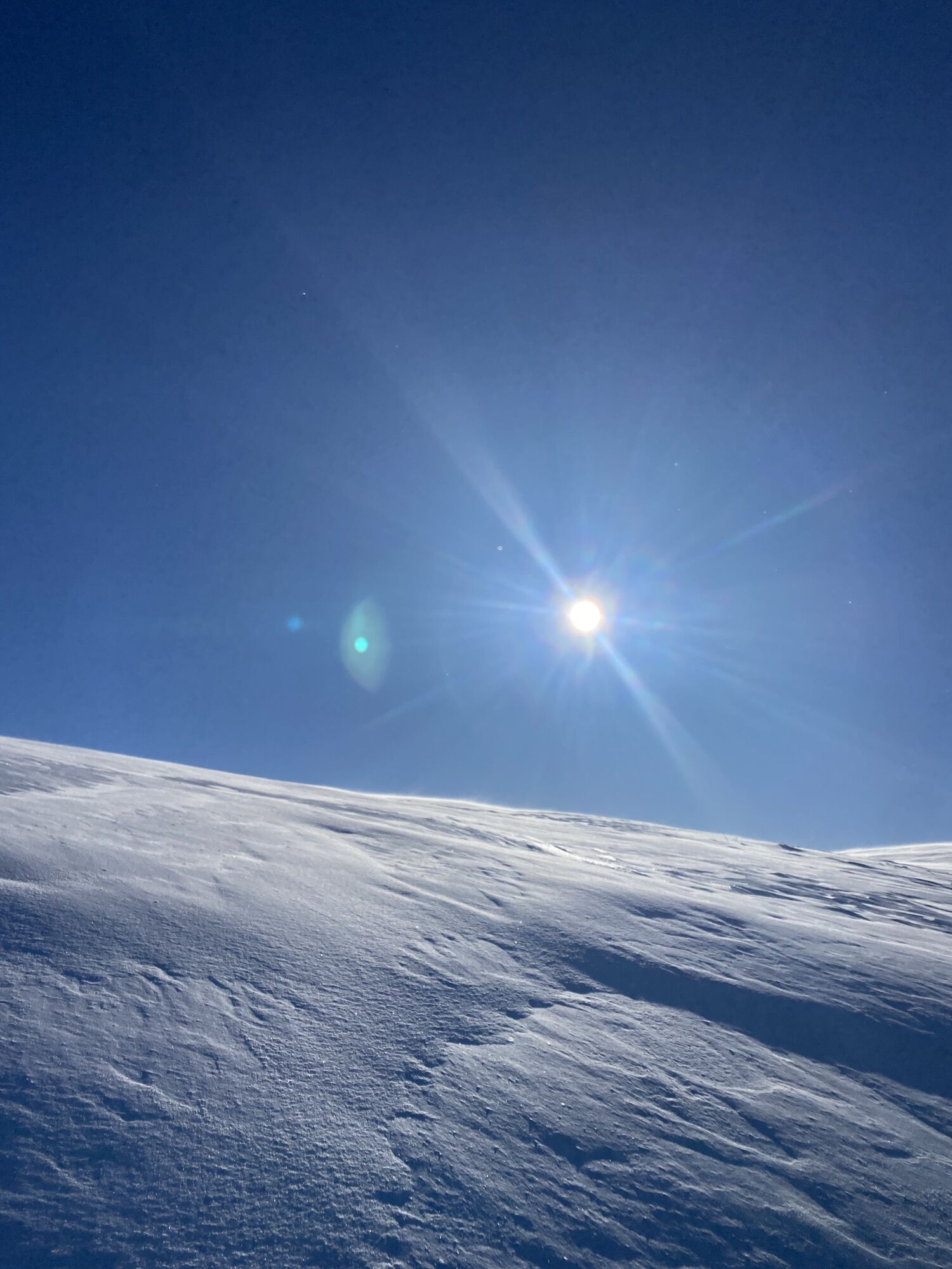
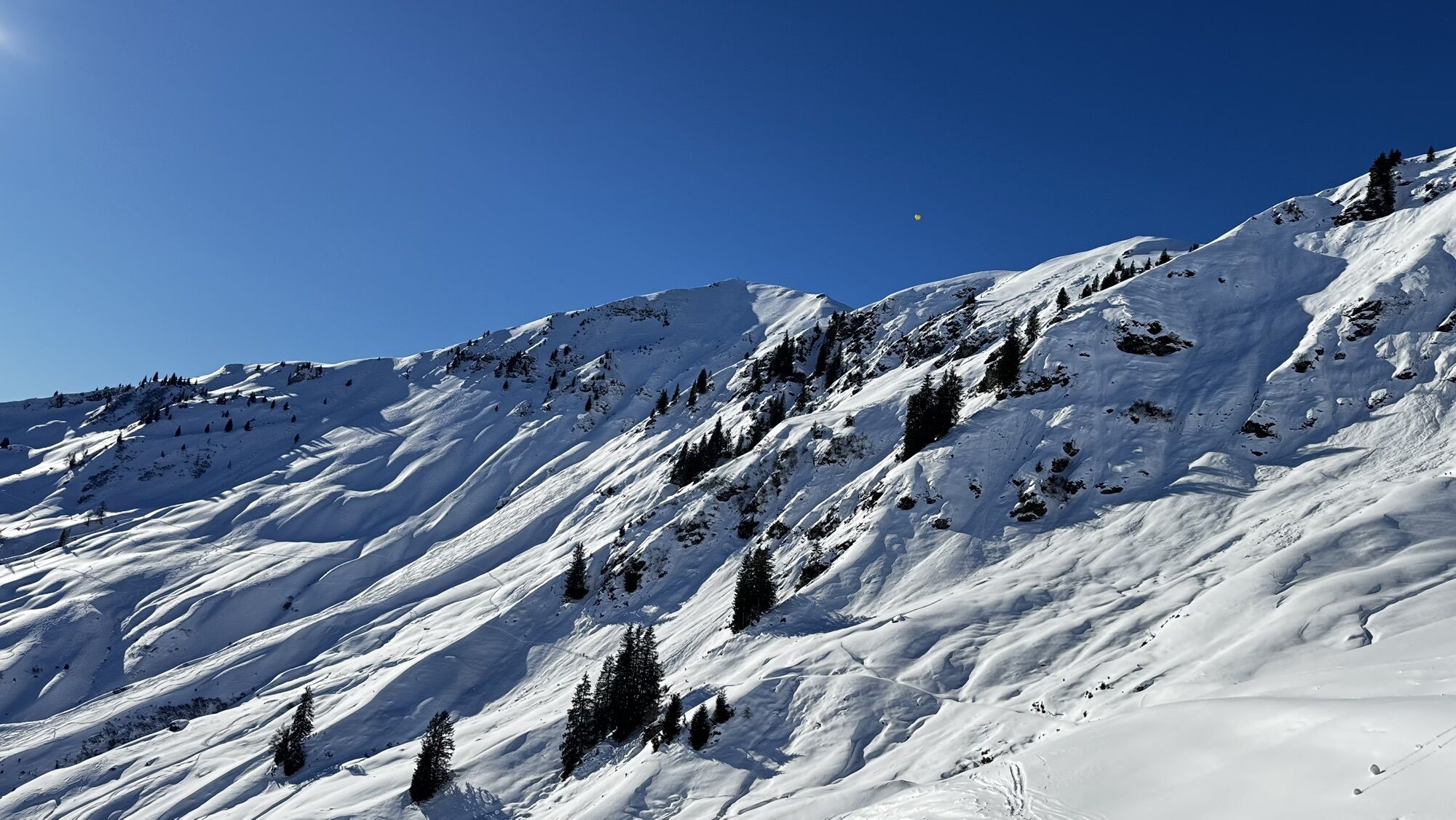
The Klingspitze is a popular ski tour among the locals and is therefore usually groomed. Orientation is therefore not difficult. The ascent via the Reicheralm is somewhat longer and flatter and therefore also well suited for beginners. A very beautiful ascent over open alpine pasture terrain, with the possibility of a rest at the sunny Reicheralm, a panoramic ascent over the northern ridge and a great panoramic view of the Hohe Tauern and the Steinerne Meer at the summit. Despite the popularity of the tour, we find open terrain in some places and enough space for our own downhill track.

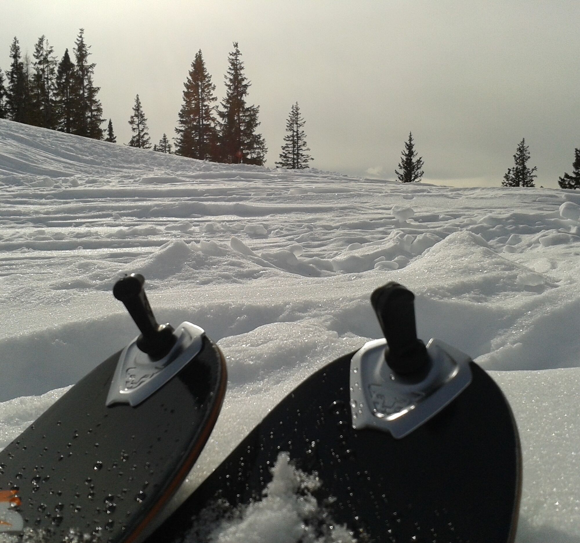
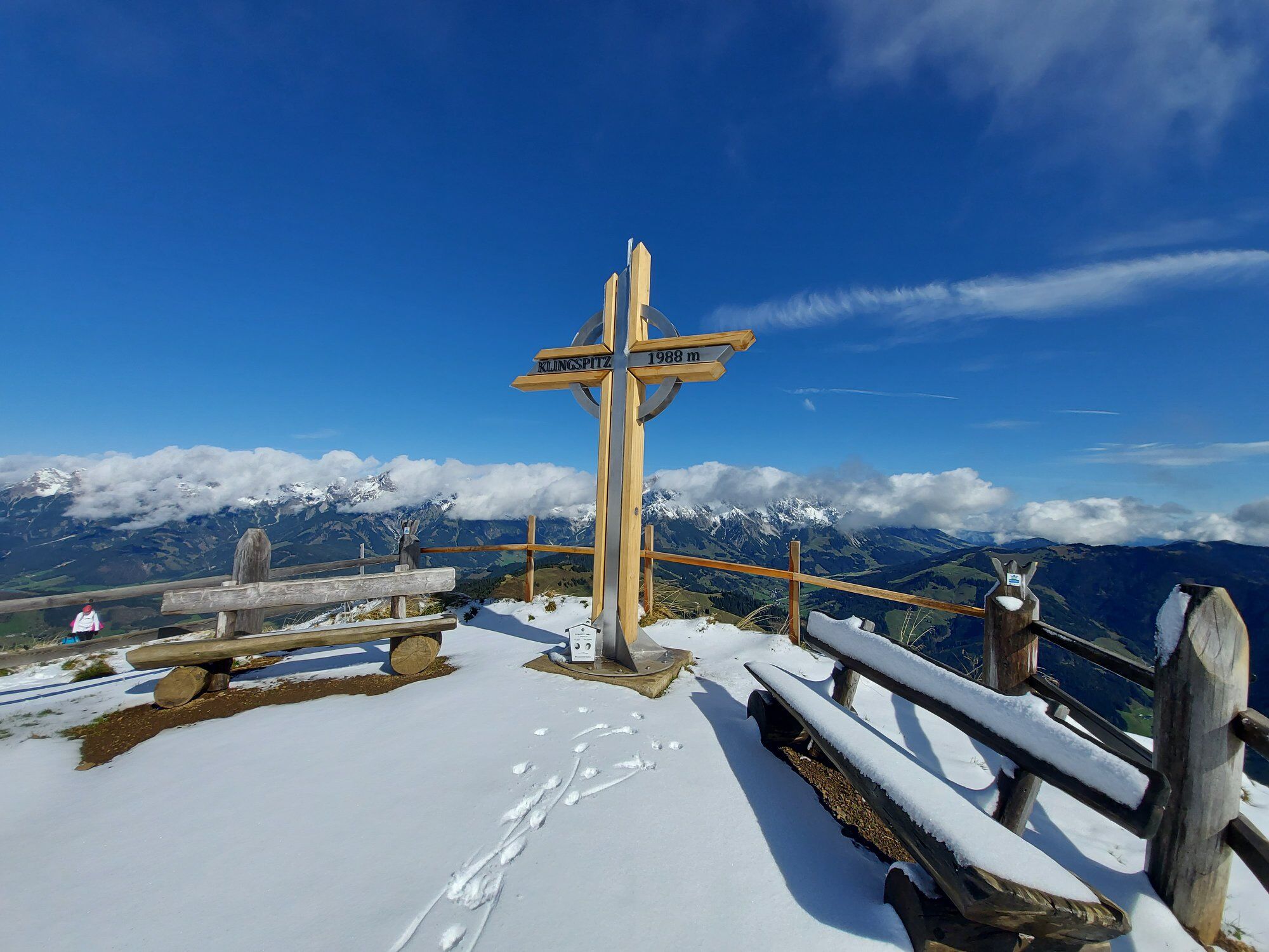
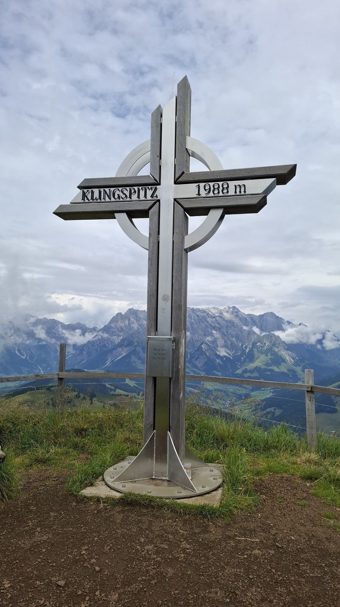
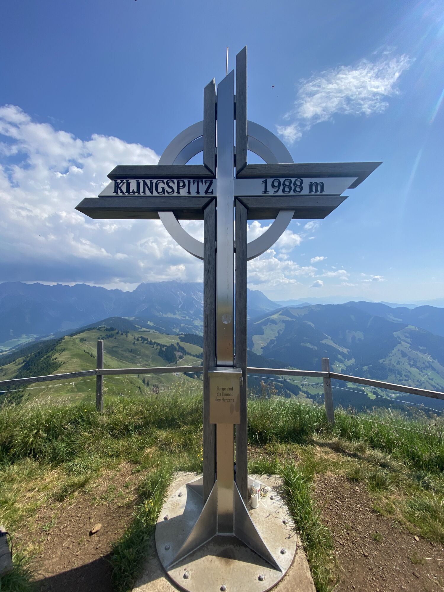
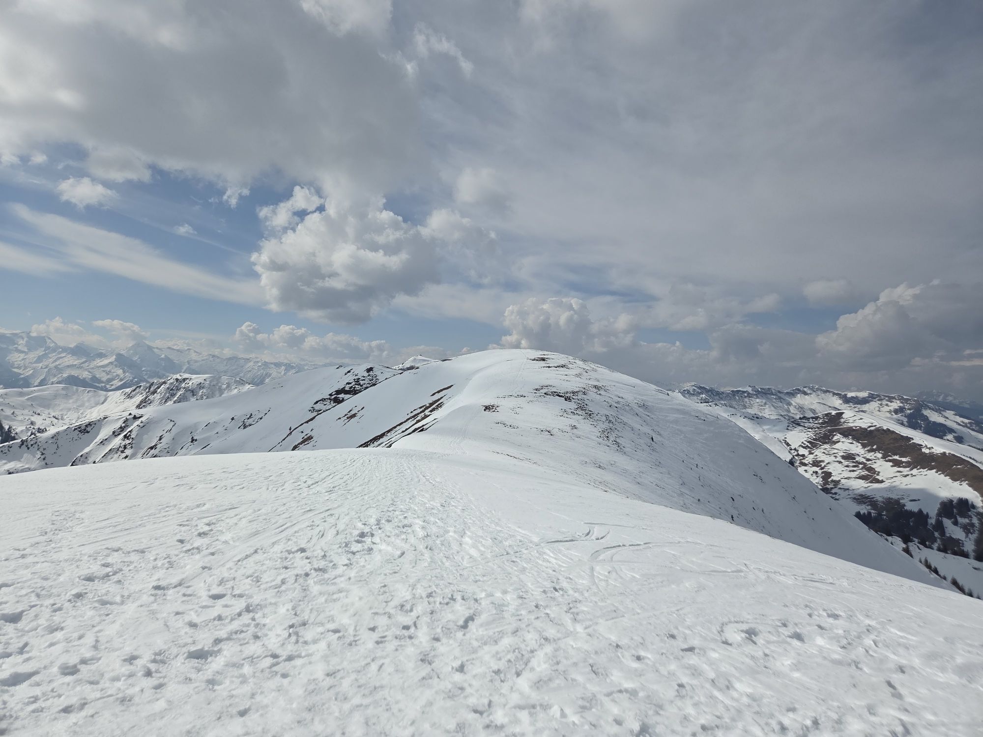
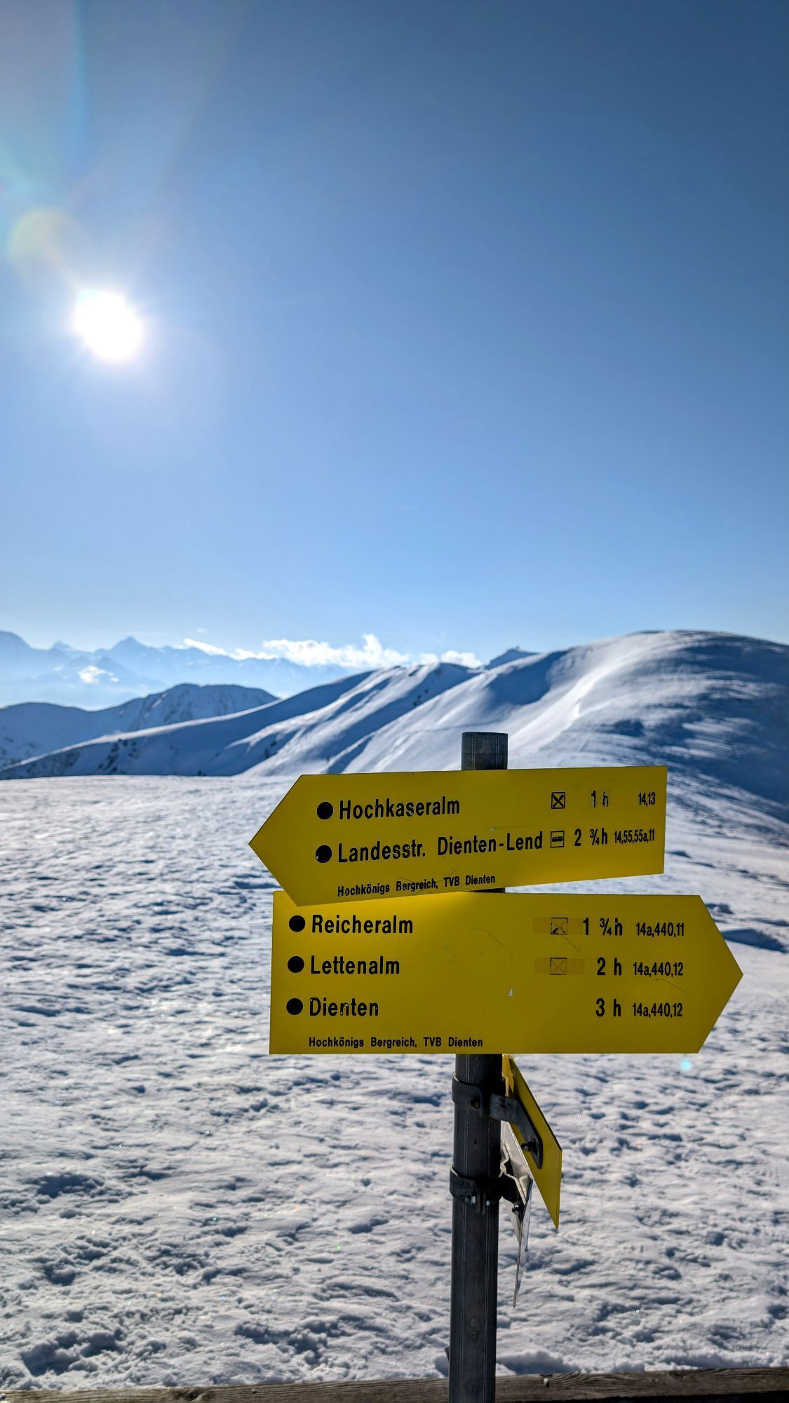
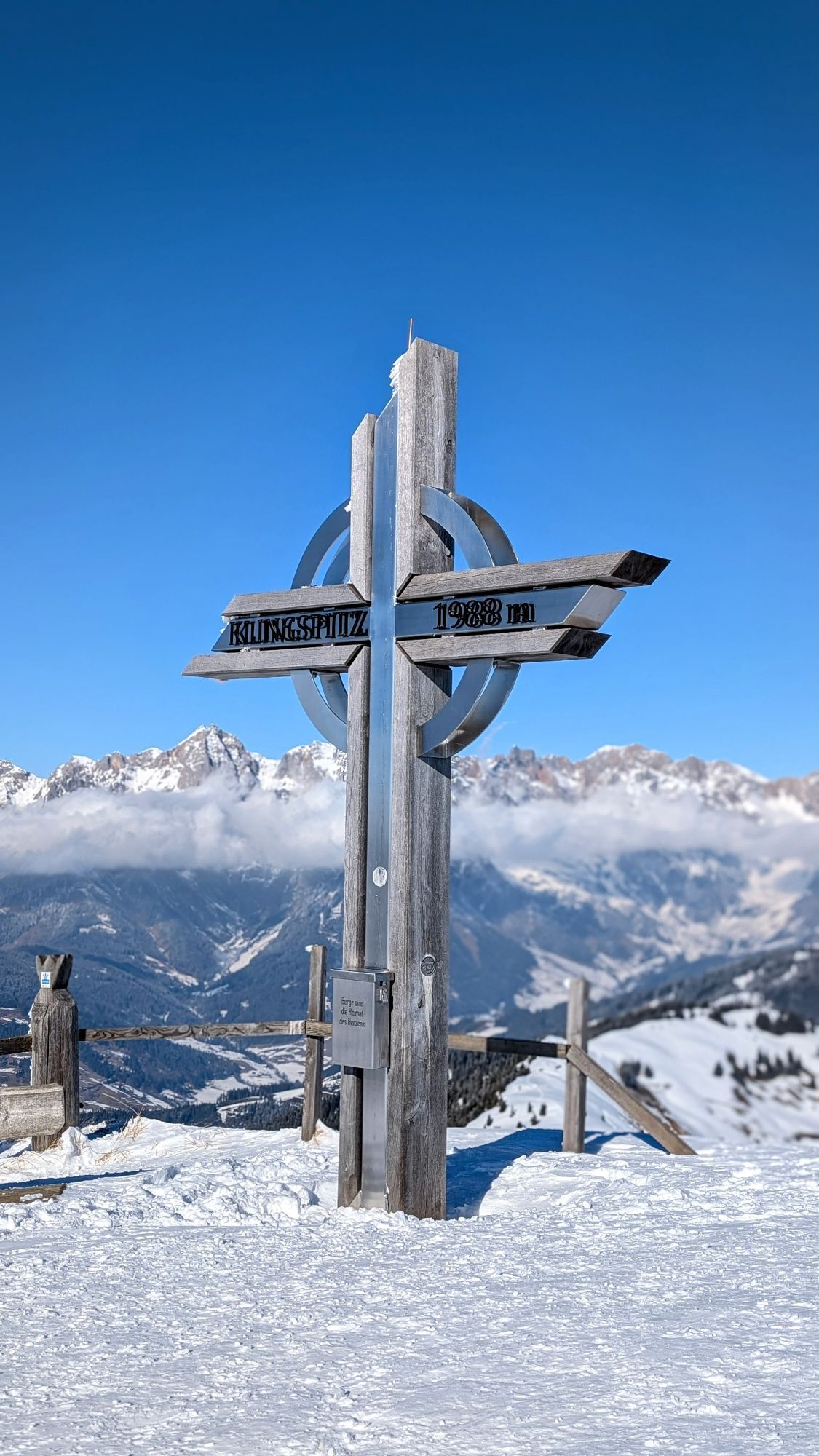
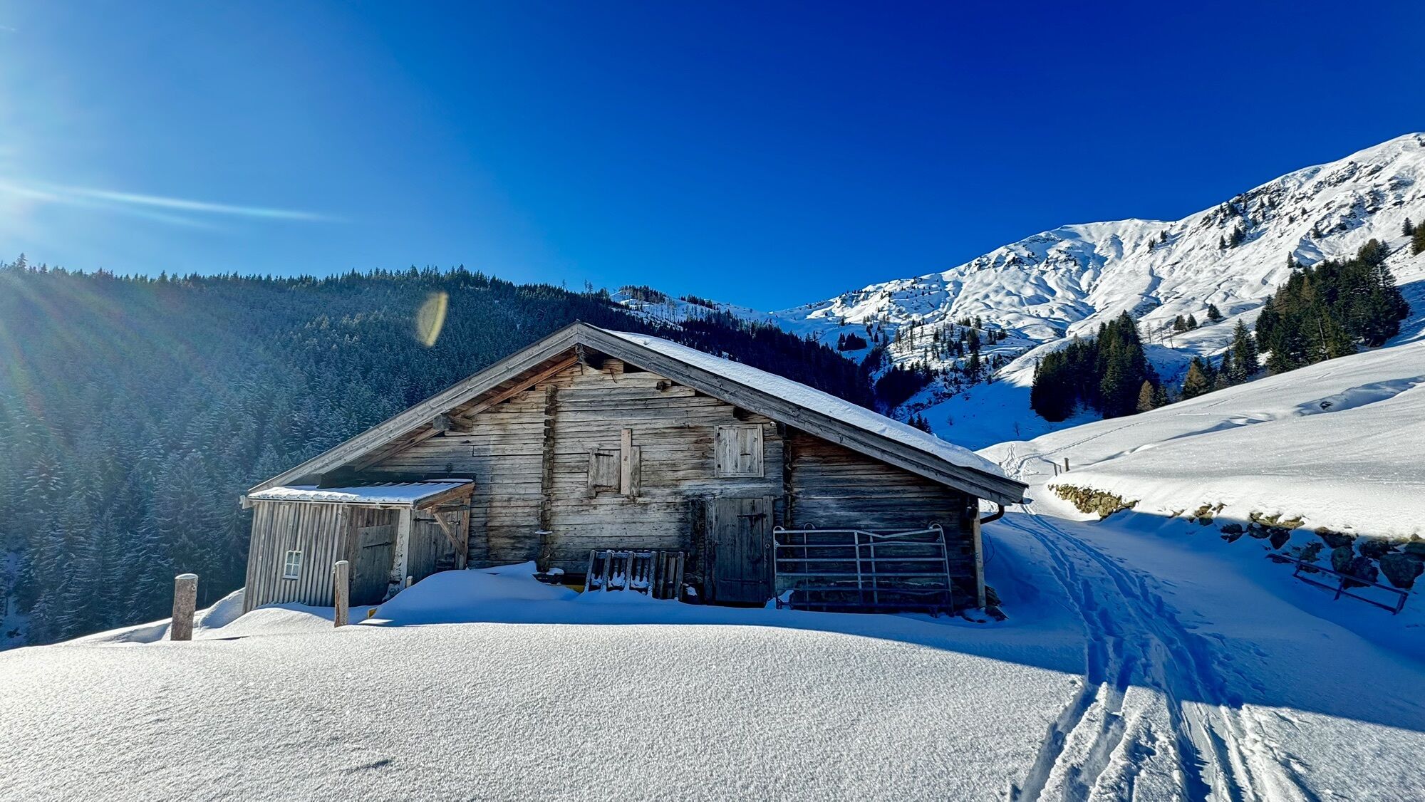
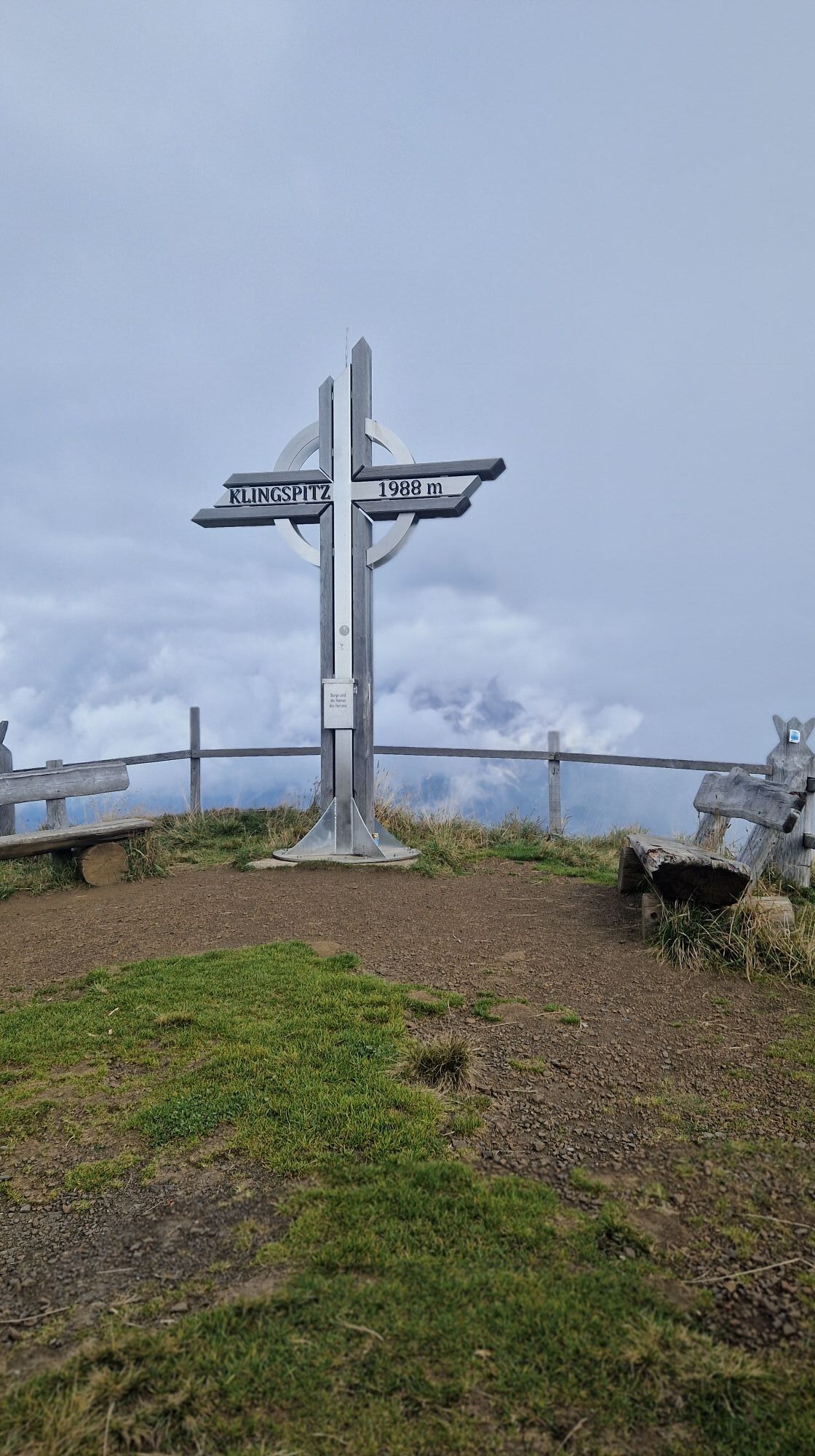
At the fork in the road, we follow the right-hand road signposted Klingspitze and then reach the Deutingalm via a forest road. Continue leisurely along the forest road and open alpine pastures to the Reicheralm. From there, initially keep to the right and walk up the alpine meadows, then take a generous left turn to reach the hermitage between Grünkopfl and Marbachhöhe (signpost). We turn south and reach the Marbachhöhe. From there, the trail descends briefly into a depression and then over the northern ridge to the summit of the Klingspitze. Then continue over the north ridge in a few ups and downs over the Marbachhöhe to the beautiful summit cross.
Ski touring equipment
Crampons
Backpack with hot drink and light snack
Necessary medication
First aid kit
Healthy in the mountains Ski and snowshoe tours are endurance sports. The valuable stress stimuli for heart and circulation require health and good self-assessment. Avoid time pressure and choose the pace so that no one in your group gets out of breath. Make sure you have energy reserves for the descent.
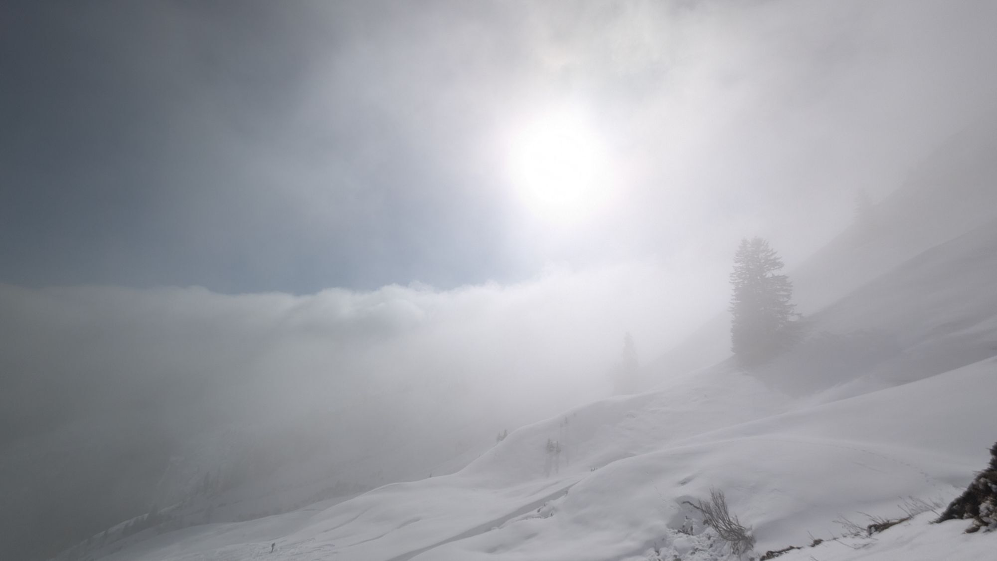
Careful planning Maps, guide books, internet and experts provide information on length, altitude difference, difficulty and current conditions. Pay particular attention to the weather forecast, as strong winds and poor visibility greatly increase the risk of accidents.
Study the avalanche situation report Before setting out on the tour, inform yourself in detail about the current danger level (European danger scale for avalanches in 5 levels). Pay particular attention to the information on danger points (Where is it dangerous today?) and sources of danger (What is the main danger today?).
Complete equipment Adapt your equipment to the winter conditions and make sure your backpack is light. For avalanche emergencies, an avalanche transceiver, shovel and probe are standard, as are a first aid kit, bivouac sack and mobile phone. An airbag system increases the chances of survival.
Regular hydration breaks Fluids, energy and breaks are necessary to maintain performance and concentration. Hot, isotonic drinks are ideal thirst quenchers and warmers. Easy-to-digest foods such as muesli bars, dried fruit and biscuits satisfy small hunger pangs on the way.
Weigh up the avalanche risk When it comes to recognising the avalanche danger, humans have narrow limits. Therefore, base your decisions on strategic methods of risk assessment (reduction methods) and learn to recognise danger signs in the terrain.
Maintain distances Relief distances of 10 m when ascending steep slopes (≥ 30°) reduce the load on the snowpack and increase comfort when making hairpin turns. Always keep distances of at least 30 m when skiing downhill and ski very steep slopes (≥ 35 °) individually.
Avoid falls Falls on the descent are the most frequent cause of accidents on ski tours. They also place a great deal of additional stress on the snowpack. Good skiing technique and a speed adapted to your ability reduce the risk. A ski helmet can protect against head injuries.
Small groups Small groups enable mutual help and reduce the risk of triggering an avalanche. Stay together in the group. Attention lone skiers: Even small incidents can lead to serious emergencies. Therefore always inform familiar people about destination, route and return.
Respect for nature To protect nature: Do not leave waste behind, avoid noise, do not enter reforested areas, respect protected and restricted areas. Show special consideration for wild animals in winter! To get there, carpool or use public transport.
Emergency numbers: Alpine emergency call: 140, International emergency call: 112
Coming from Salzburg: Take the A10 freeway to the Bischofshofen exit, then take the B311 in the direction of Bischofshofen. Follow the Hochkönig Bundesstraße/B164 to Mühlbach and further to Dienten.
Coming from Innsbruck/ Kufstein: On the Loferer Straße/B178 in the direction of St. Johann i.T., then on the Hochkönig Bundesstraße/B164 via Saalfelden and Maria Alm to Dienten or to the Filzensattel.
A valid vignette is required to use the Austrian motorway and motorway network. It is also compulsory to carry a first-aid kit, warning triangle and high-visibility waistcoat. Further information can be found under Asfinag.
ÖBB-Scotty: Timetable information
Bus line 620: Timetable information
Bus line 631: Timetable information
Ski bus: Timetable information
Free parking in the centre of Dienten
An overview map is available at the tourist office.
www.hochkoenig.at
region@hochkoenig.at
+43 (0)6584 20388
Walking and driving requires appropriate knowledge and experience.
Kamery internetowe z trasy
Popularne wycieczki w okolicy
- 4,8
Summit stormer route Lauskopf
ciężkiWędrówka 8,16 km - 4,2
Maria Alm - Riemannhaus
Wędrówka 3,99 km - 4,8
Summit storming route Taghaube
ciężkiWędrówka 6,25 km - 4,7
About the "Four Huts circular route" to Windraucheggalm
średniWędrówka 10,1 km - 4,7
Panorama hike to the Hochkeil
średniWędrówka 6,07 km - 4,6
Steinalm
światłoWędrówka 2,71 km - 4,1
Schwalbenwand Nr. 80, 81, 82
średniWędrówka 13,0 km - 4,3
Peter-Wiechenthaler Hut
średniWędrówka 4,32 km - 4,8
Hochkönig - Gipfel der Gefühle - Matrashaus
ciężkiWędrówka 20,9 km - 4,4
Alpine and hut hike "Hochmaisalm & Steinbockalm"
średniWędrówka 8,10 km

Wędrówki i tropienie


Nie przegap ofert i inspiracji na następne wakacje
Twój adres e-mail została dodana do listy mailingowej.