







Großarl: Top station Panoramabahn, 1,840 m above Hubwald
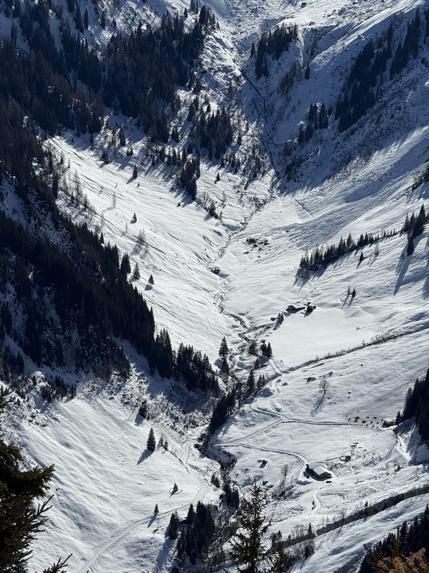
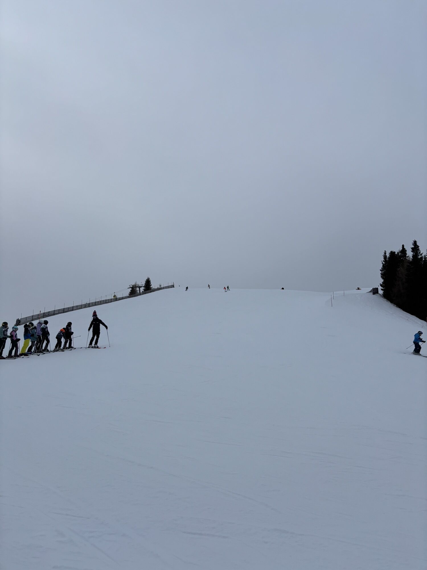
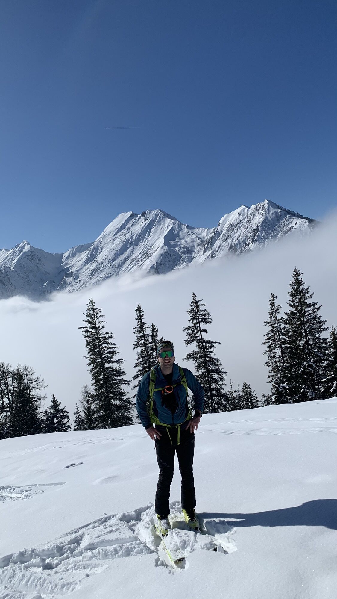
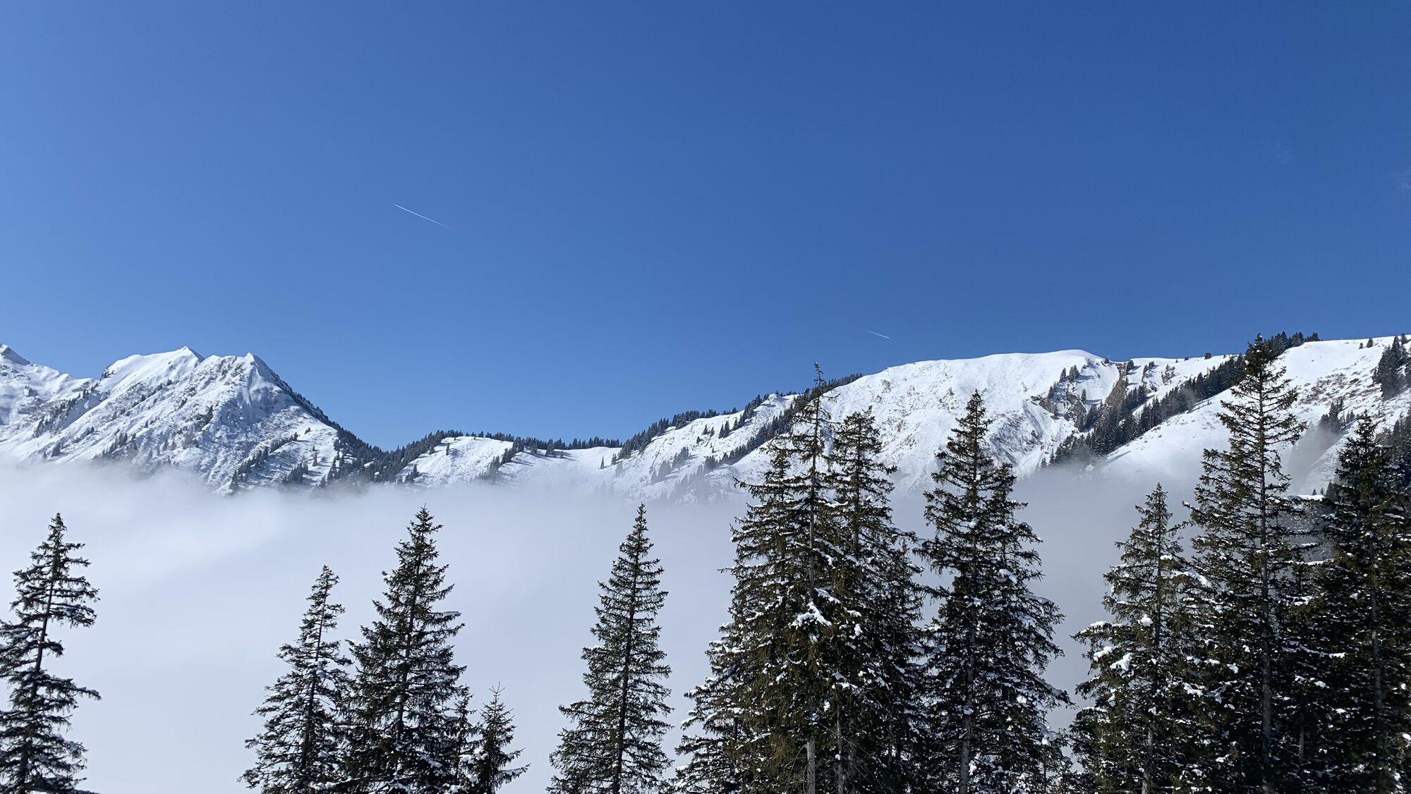
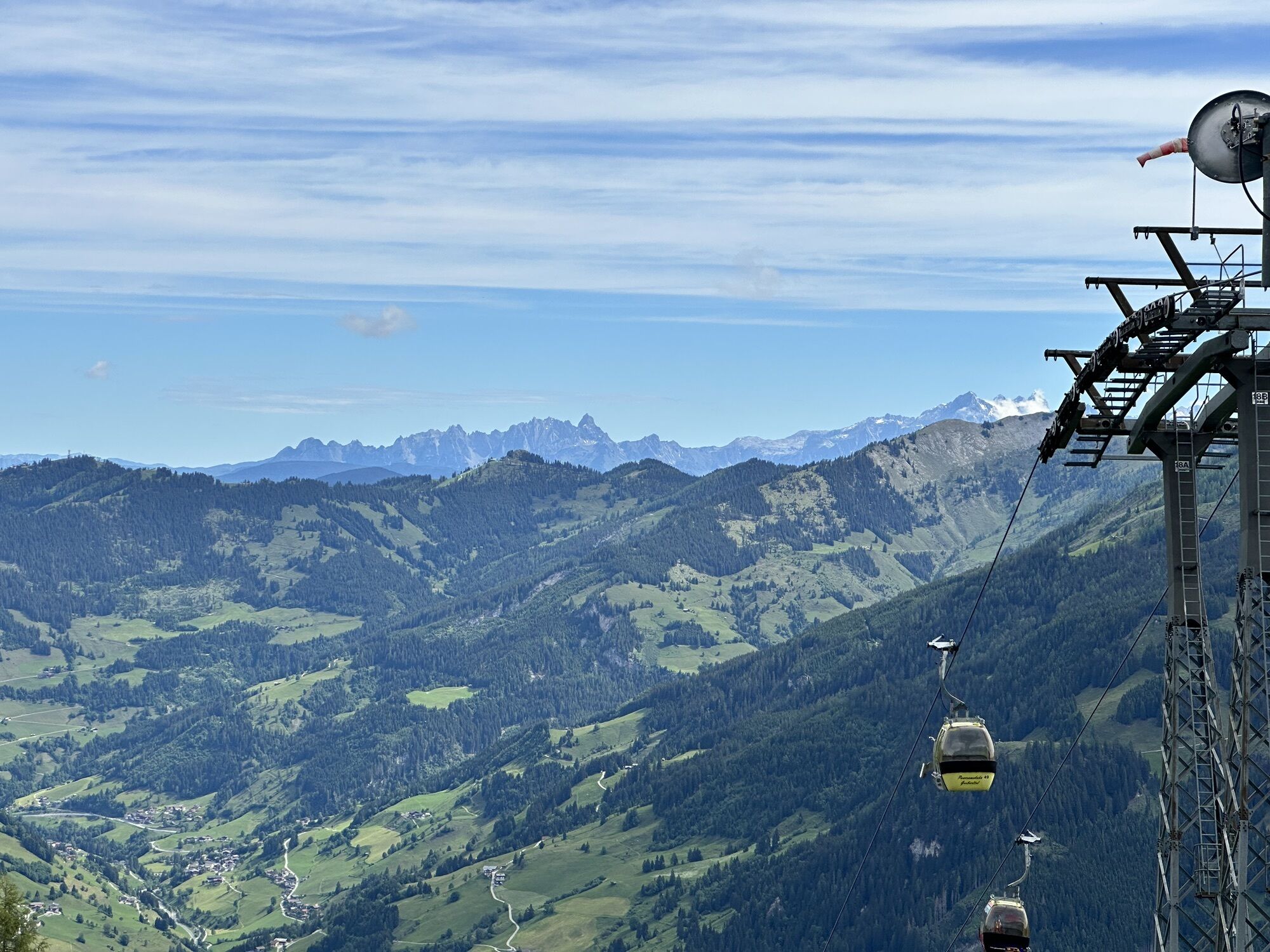
A beautiful ski tour where the ascent is outside the piste area except for the last small section but offers the possibility to descend via the piste, especially if you are not yet familiar with deep snow....
A beautiful ski tour where the ascent is outside the piste area except for the last small section but offers the possibility to descend via the piste, especially if you are not yet familiar with deep snow. Moreover, this tour is suitable as a bad weather tour. For less experienced ski tourers, the option exists to ascend shortly before Gehwolf-Heimalm to the right at the forest edge to a forest road, which leads in a horizontal line to Jagahütte, i.e., the piste. This shortened variant still involves about 630 meters of elevation gain.
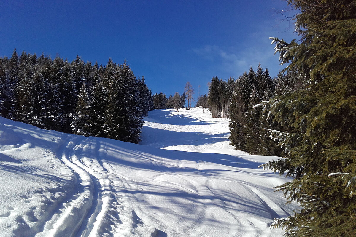
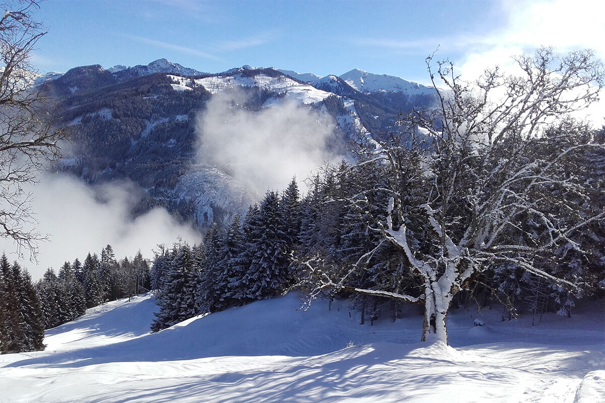
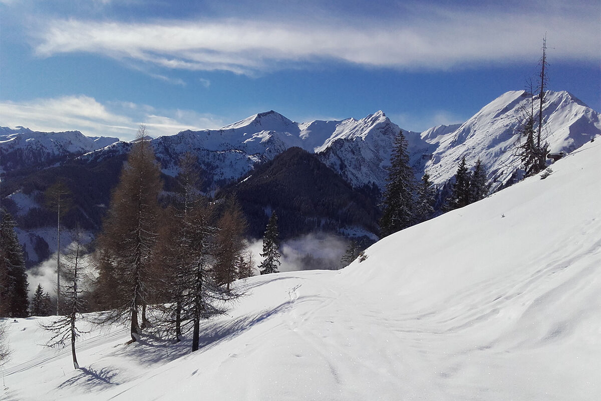
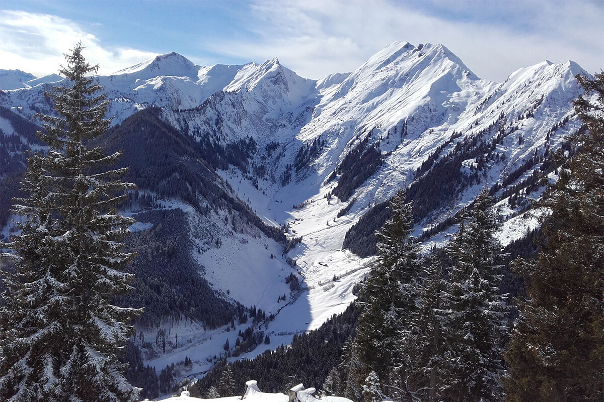

ASCENT: approx. 2.5 hours
From the Hubstall, you ascend straight over a field to the upper left corner until you reach a hiking trail, which you follow until just before Gehwolf-Heimalm. From here, you continue on a wider service road, which you leave only above the Himmelreich reservoir pond. More fit ski tourers will take the shortcuts and thus reach the pond faster. Usually, both variants are tracked. Above the pond, you briefly join the piste to cover the last section to the destination.
DESCENT: approx. 30 minutes
The descent is mostly chosen via the piste, where you reach the start of the cross-country ski trail directly via piste 4a. A short section over the trail then brings you back to the starting point. If there is enough snow and adequate skiing skills, the ascent route can also be used for the descent.
Ski touring equipment, avalanche transceiver, shovel, probe, mobile phone, first aid kit, and bivy sack. An airbag system increases the chance of survival.
The starting point of this route is the parking lot at the cross-country ski trail in Großarl. From St. Johann im Pongau, you reach it via the Großarler Landesstraße (L109), Großarl-South, before the warehouse turn right over the bridge onto Bergstraße. Another option is to park in the town area, walk to the start of the cross-country ski trail, and go with the ski touring equipment over the trail (Reitwiese) to the starting point.
Postbus line no. 540 to the warehouse
Limited parking options are available at the starting point, parking lot for cross-country ski trail, and the turnoff from Bergstraße to Hubdorf (old stable building). Another option is to park in the town area, walk to the start of the cross-country ski trail, and go with the ski touring equipment over the trail (Reitwiese) to the starting point.
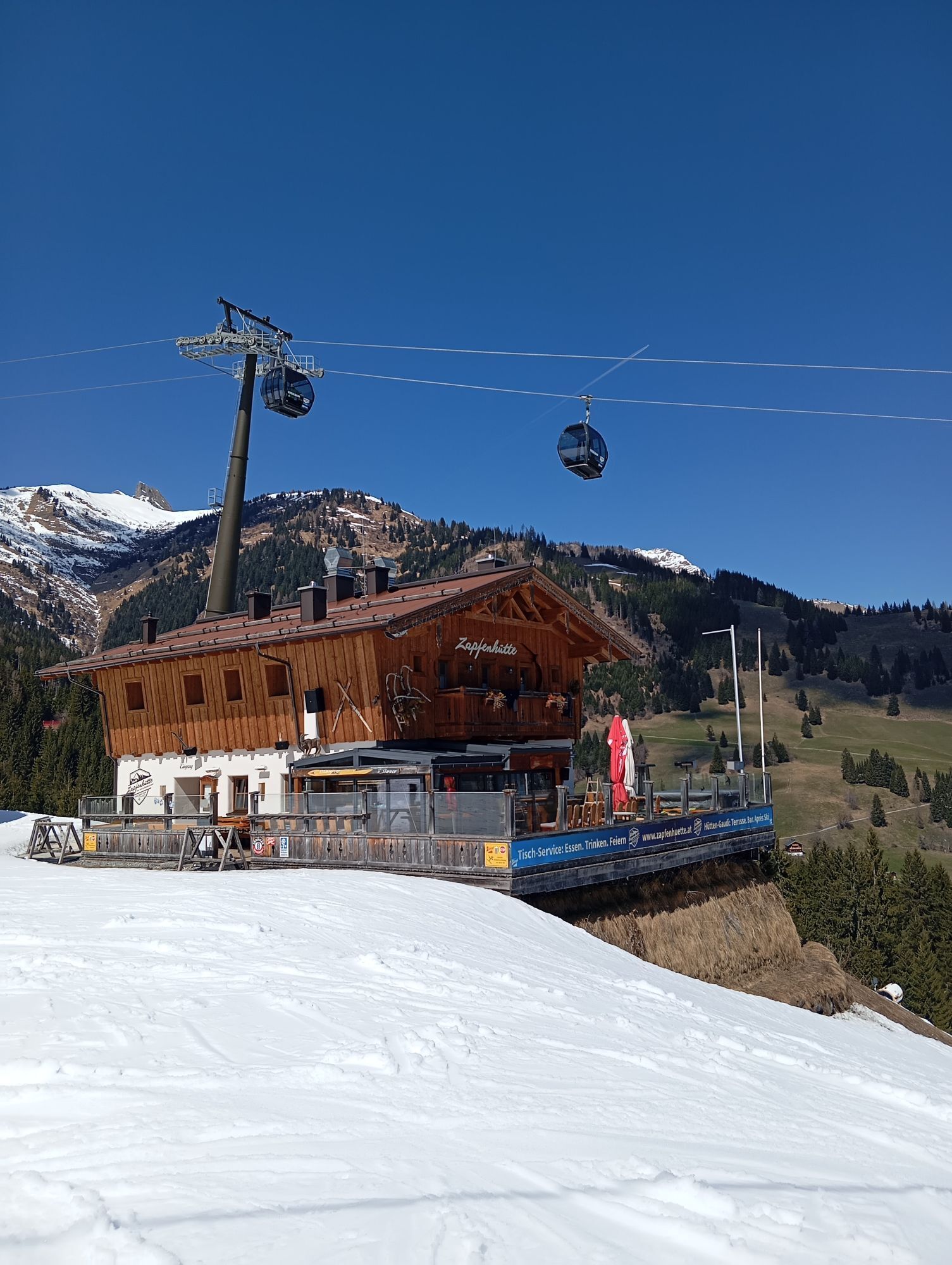
There are various refreshment options at the ski huts on this route.
Kamery internetowe z trasy
-
Kreuzkogel
-
Fulseck
-
Hotel Lammwirt im Großarltal/Ellmautal
-
Dorfgastein - Spiegelsee
-
Bergstation 6er Sesselbahn Harbach
-
Gästehaus Hagenhofer - Dorfgastein
-
Ellmautal - Palfenhof
-
Kühhagerbahn Bergstation
-
Großarl - Ort
-
Dorfgastein - Bergl
-
Großarl - Kieserlbahn
-
Grossarl - Hotel Gasthof Schützenhof
-
Großarl - Hotel Kristall Übungslift
-
Bergstation Kieserl
-
Großarl
Uzyskaj wgląd
Zawsze na żywo z ponad 9 500 kamer internetowych. bergfex Jako użytkownik Pro, możesz teraz zobaczyć odpowiednie kamery internetowe dla wielu wycieczek w aplikacji wycieczki od. Pozwala to na bezpośredni podgląd aktualnych warunków.

Popularne wycieczki w okolicy
-
5,0
Hüttschlag: Karteistörl - Tappenkarsee - Draugsteintörl - Draugsteinalmen
średniWędrówka 13,5 km -
4,9
Großarl: Aualm - Liechtensteinkopf - Aukopf - Schuhflicker - Schuhflickersee
średniWędrówka 5,84 km -
4,2
Tappenkarsee Kleinarl
średniWędrówka 9,11 km -
4,9
Großarl: Alpine pasture circuit in Ellmautal
średniWędrówka 9,69 km -
5,0
Großarl: Heukareck
średniWędrówka 12,5 km -
4,6
Großarl: Mooslehenalm – Niggeltalalm – Viehhausalm
średniWędrówka 5,44 km -
4,5
Gasteiner Höhenweg von Bad Gastein nach Bad Hofgastein
światłoWędrówka 8,58 km -
4,9
Großarl: Bichlalm
średniMountainbike 18,9 km -
4,7
Großarl: Saukaralm - Saukarkopf - Gerstreitalm
średniWędrówka 9,39 km -
4,5
Mountain route from the Kötschachtal to the natural jewel Reedsee
średniWędrówka 12,5 km
Wędrówki i tropienie


Nie przegap ofert i inspiracji na następne wakacje
Twój adres e-mail została dodana do listy mailingowej.





