


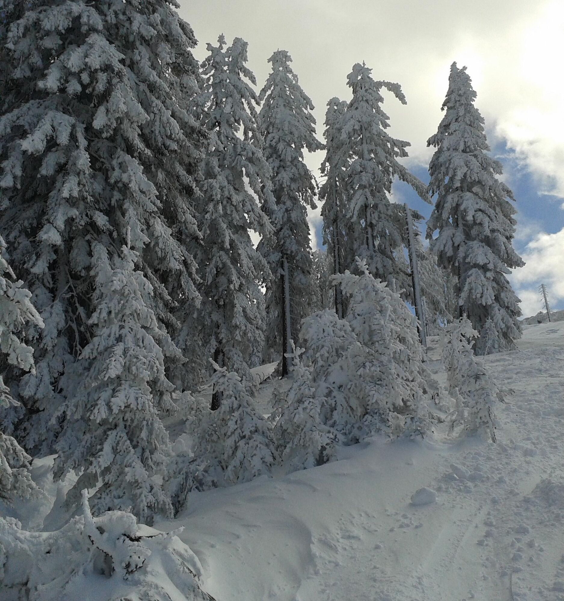
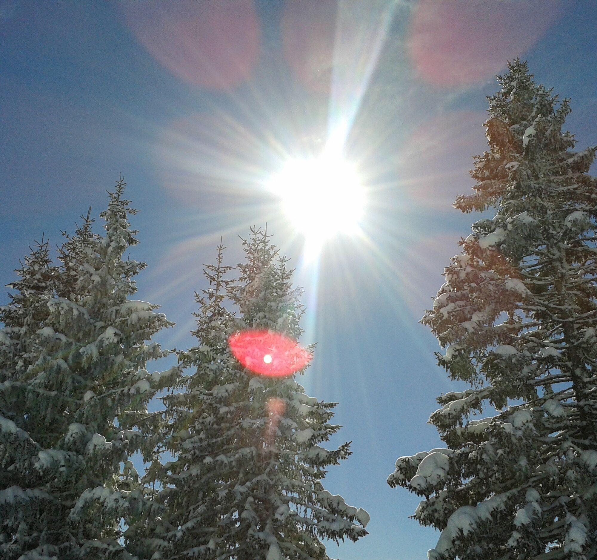
Ski tour Lausköpfe
Get ready for a short but intense ski tour to the westernmost summit of the Hochkönig massif – the Lausköpfe! From the Lammkopf, the impressive jagged ridge stretches 2 km westwards and offers you an exciting...
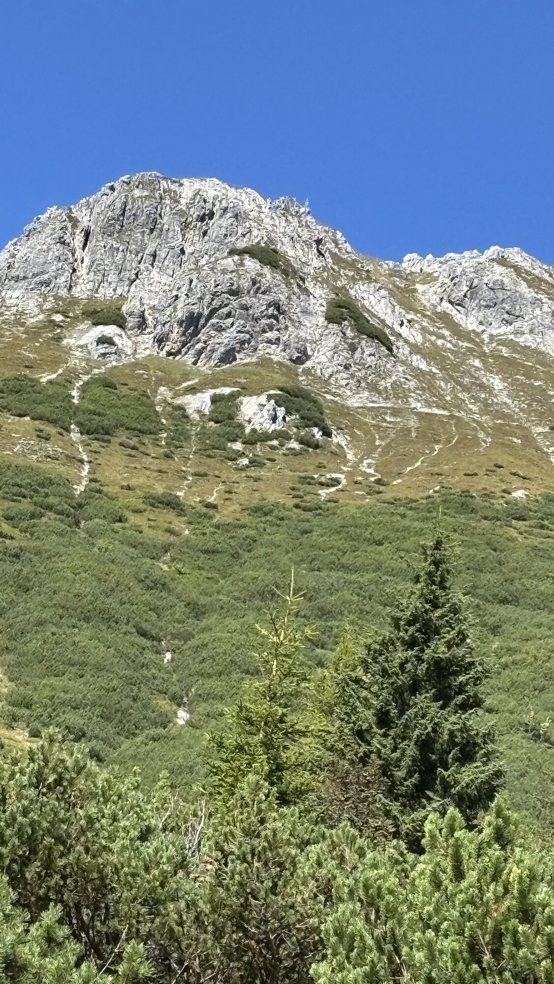
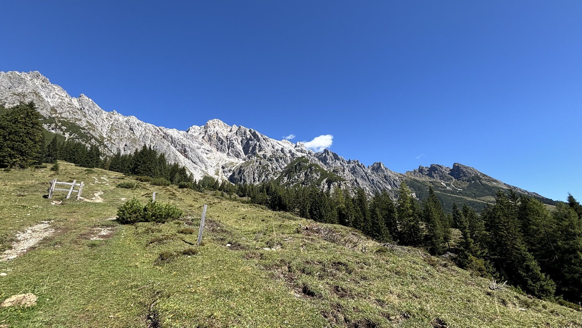
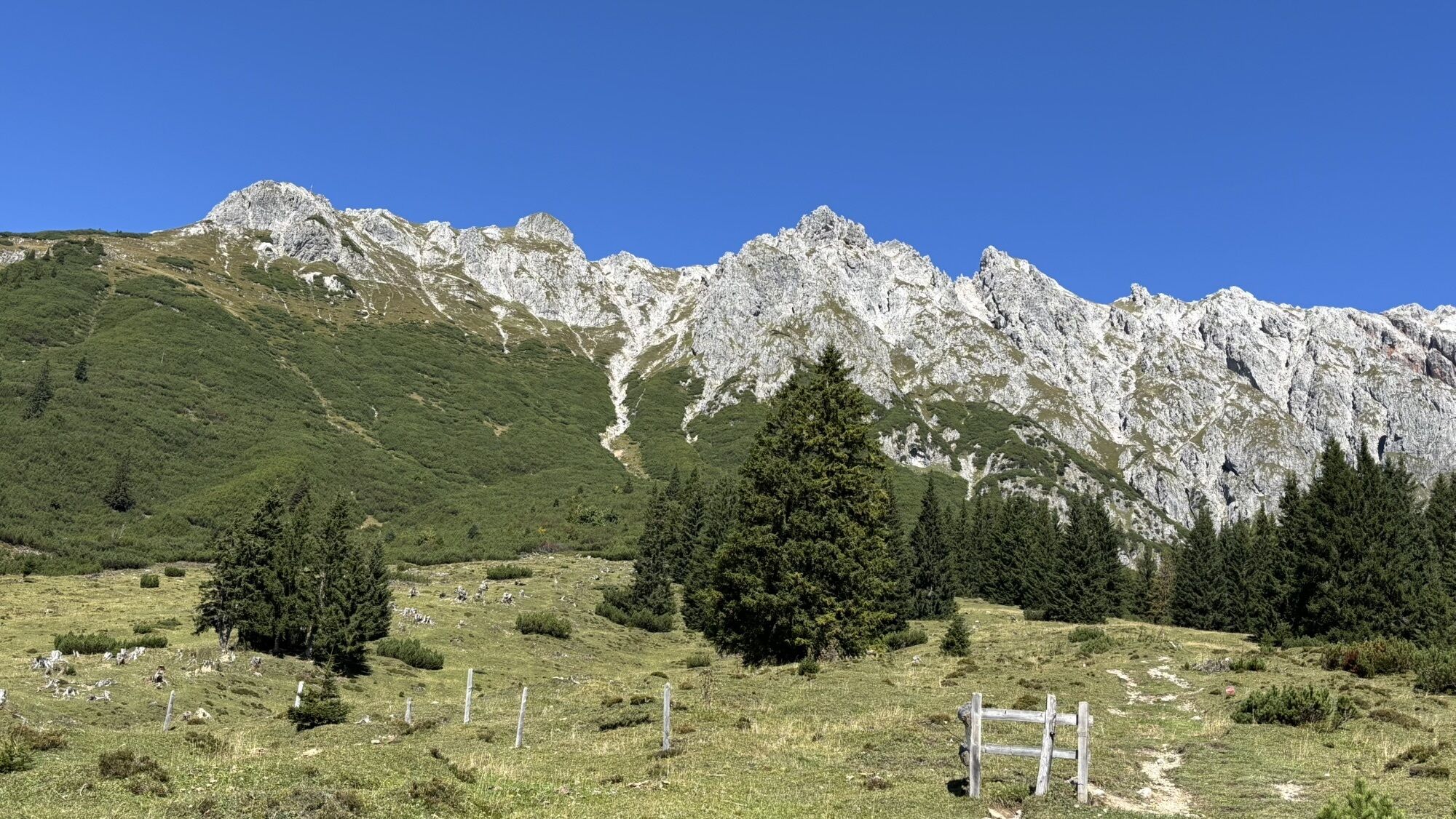
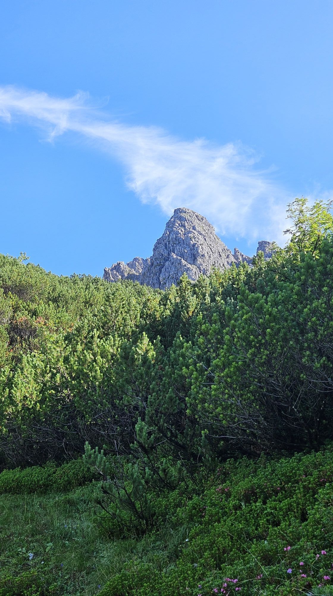
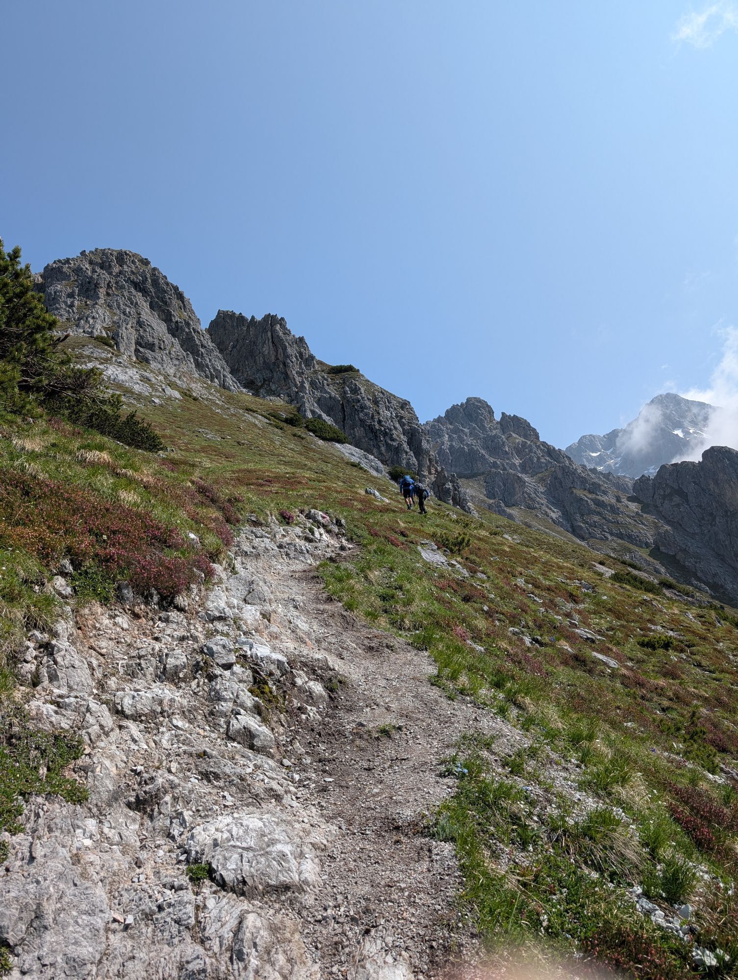
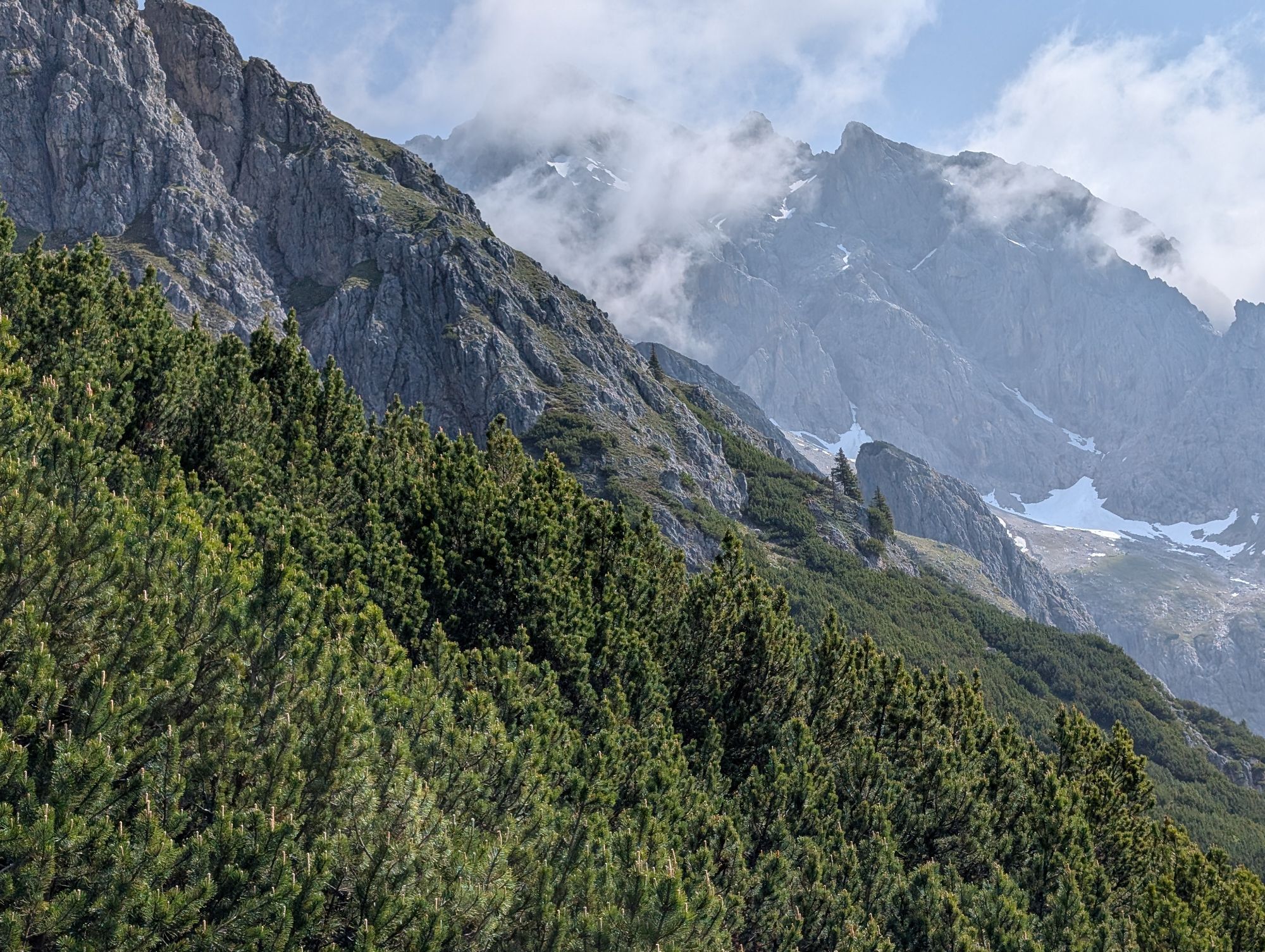
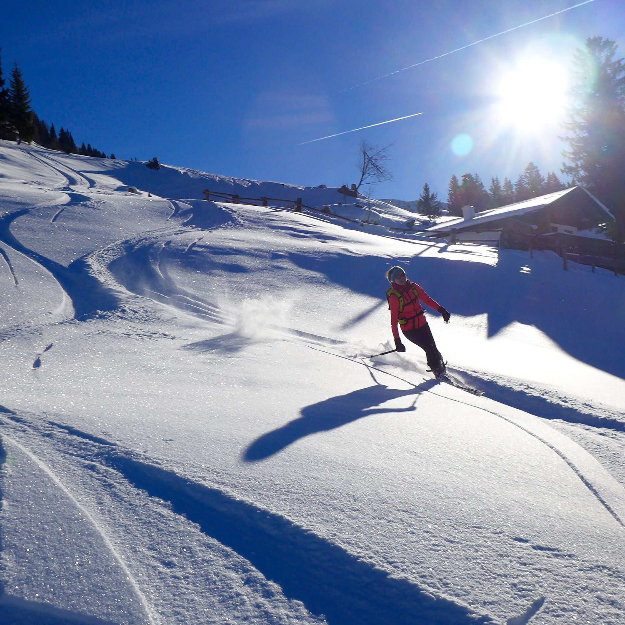
Get ready for a short but intense ski tour to the westernmost summit of the Hochkönig massif – the Lausköpfe! From the Lammkopf, the impressive jagged ridge stretches 2 km westwards and offers you an exciting challenge. The spurs of this rugged ridge are perfect for experienced ski tourers like you. The path to the summit gets steeper with every meter of altitude and reaches up to 40° – here your skiing technique matters! Be precise in your movements on the ascent and work efficiently. When you reach the summit, not only a triumphant moment awaits but also a breathtaking view of the surrounding mountains. Let your gaze wander over the majestic peaks and enjoy the exhilarating moment of success! The descent will be just as exciting! Use your skills to safely master the steep sections and carve fresh tracks in the snow. This tour is the perfect adrenaline kick for those seeking a sporting challenge and wanting to experience the beauty of the mountains up close. So strap on your skis and get ready for an unforgettable adventure on the Lausköpfe!

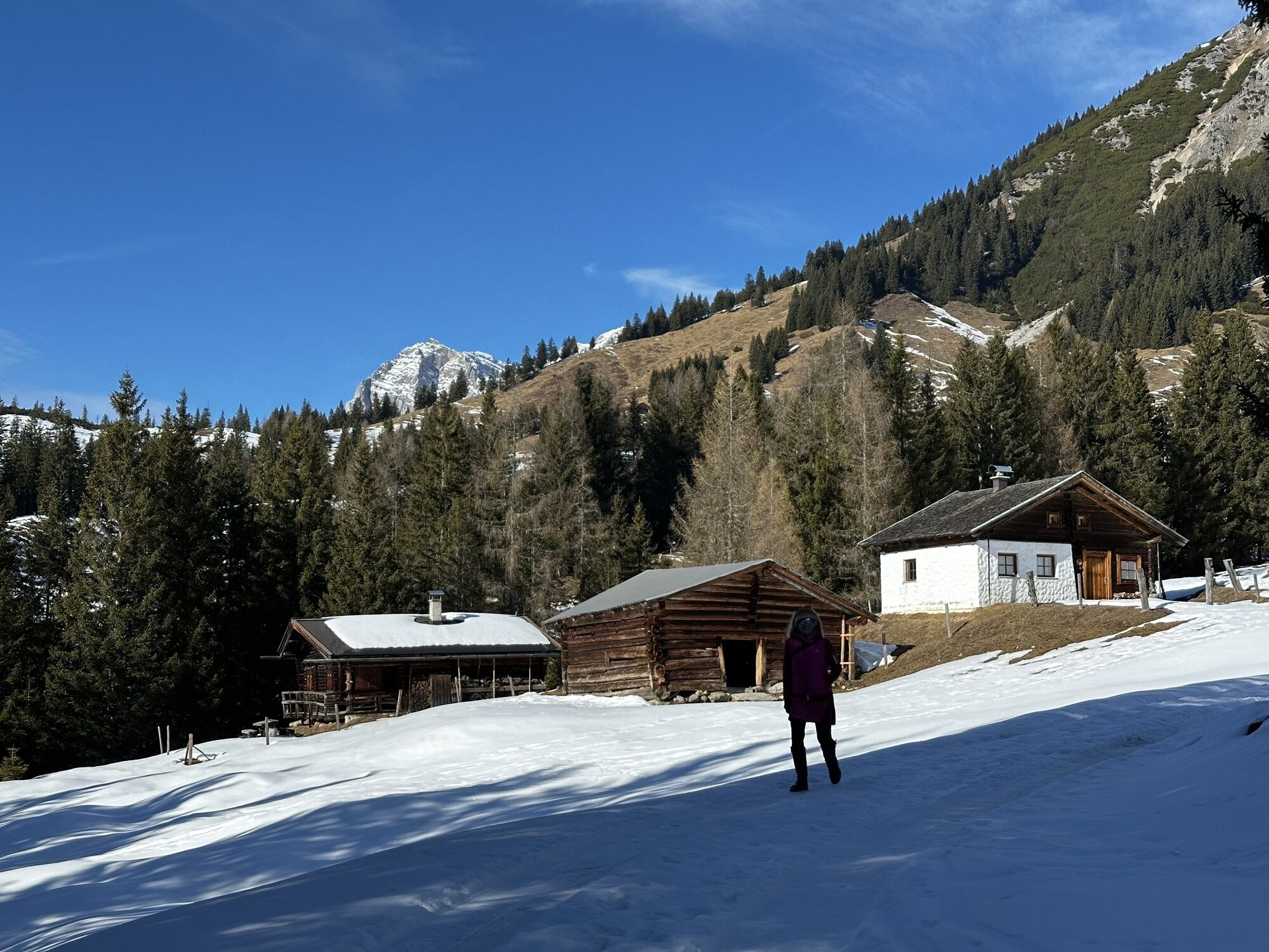
Start at the main road and follow the Rohrmoos farm road. You can also take a shortcut across the meadow if the weather allows. Before reaching the Rohrmoos farmstead, leave the road to the left (watch for the signpost) and cross the large meadow to the edge of the forest. Take the alpine road, which is also used as a path in summer, and walk through the forest. Watch for the sharp hairpin bend where you have to cross the stream. After crossing the stream, continue right over the wide meadows. Here you ascend moderately and pass an alpine hut. Reaching the ridge: Stay on the increasingly steep ridge, which leads you directly to the SE flank. Now it gets steep! Climb upwards through the flank until you are just below the summit rocks. At this point, cross left heading westwards onto the ridge. Follow the ridge to the summit cross. Enjoy the view and the satisfaction of having reached the top! Note: This route requires ski touring skills! Pay attention to your safety and the current conditions. Have fun!
Ski touring equipment
Crampons
Backpack with hot drink and light snack
Necessary medications
First aid kit
Healthy in the mountains: Ski and snowshoe tours are endurance sports that provide valuable strain stimuli for your heart and circulatory system. Pay attention to your health and self-assessment. Avoid time pressure and choose a pace so that no one in your group runs out of breath. Remember to save energy for the descent.
Careful planning: Use maps, guidebooks, the internet, and experts to inform yourself about the length, elevation difference, difficulty, and current conditions of your tour. Pay special attention to the weather forecast, as strong winds and poor visibility significantly increase accident risk.
Study the avalanche report: Inform yourself thoroughly about the current danger level (European avalanche danger scale with 5 levels) before your tour. Pay special attention to the information about danger spots (Where is it dangerous today?) and danger sources (What is the main danger today?).
Complete equipment: Adapt your gear to winter conditions and ensure a light backpack. Avalanche emergency gear standard is transceiver, shovel, and probe. Also carry a first-aid kit, bivy sack, and mobile phone. An airbag system can increase your chances of survival.
Regular drinking breaks: Make sure to consume enough fluids and energy. Hot, isotonic drinks are ideal thirst quenchers and provide warmth. Easily digestible foods like muesli bars, dried fruits, and biscuits satisfy small hunger on the way.
Weigh avalanche risk: Human ability to recognize avalanche danger is limited. Therefore, base your decisions on strategic risk assessment methods (reduction methods) and learn to recognize danger signs in the terrain.
Keep distances: Maintain relief distances of 10 m on steep slopes (≥ 30°) during the ascent to reduce the load on the snowpack and increase comfort during switchbacks. During descent, always keep distances of at least 30 m and descend very steep slopes (≥ 35°) individually.
Avoid falls: Falls during descent are the most frequent cause of accidents on ski tours. Good skiing technique and speed adapted to your abilities reduce risk. A ski helmet can also protect against head injuries.
Small groups: Keep your group small to enable mutual assistance and reduce the risk of triggering an avalanche. Stay together as a group and inform trusted persons about your destination, route, and return.
Respect for nature: Protect nature by not leaving any waste, avoiding noise, and respecting reforestation areas. Pay special attention to wildlife in winter! You can form car pools or use public transport for your arrival.
Emergency numbers: Alpine emergency: 140, International emergency: 112
Arrival from Salzburg: Take the A10 motorway to the Bischofshofen exit, then take the B311 towards Bischofshofen. Follow the Hochkönig federal road/B164 to Mühlbach and continue to Dienten.
Arrival from Innsbruck/Kufstein: Take the Loferer road/B178 towards St. Johann in Tirol, then take the Hochkönig federal road/B164 via Saalfelden and Maria Alm to Dienten or the Filzensattel.
A valid vignette is required for using the Austrian motorway and expressway network. Also mandatory to carry first aid kit, warning triangle, and reflective vest. More info at Asfinag.
ÖBB-Scotty: Timetable information
Bus line 620: Timetable information
Bus line 631: Timetable information
Ski bus: Timetable information
Free parking at the Alpin park
An overview map is available at the service center.
www.hochkoenig.at
region@hochkoenig.at
+43 (0)6584 20388
Start early in the morning to take advantage of the best conditions on the southeast-facing slopes, as they can harden quickly. Make sure that the snow conditions are stable, as this tour is not for beginners. The summit slope has a steepness of up to 40°, so be well prepared and realistically assess your abilities.
Popularne wycieczki w okolicy
-
5,0
Königssee - Kärlinger-Haus
Wędrówka 10,1 km -
4,8
Summit stormer route Lauskopf
ciężkiWędrówka 8,16 km -
4,2
Maria Alm - Riemannhaus
Wędrówka 3,99 km -
4,8
Summit storming route Taghaube
ciężkiWędrówka 6,25 km -
4,7
About the "Four Huts circular route" to Windraucheggalm
średniWędrówka 10,1 km -
4,7
Panorama hike to the Hochkeil
średniWędrówka 6,07 km -
3,6
Wanderung zur Ostpreußenhütte in Werfen (1.630 m)
średniWędrówka 11,2 km -
4,6
Steinalm
światłoWędrówka 2,71 km -
4,2
Schwalbenwand Nr. 80, 81, 82
średniWędrówka 13,0 km -
4,3
Peter-Wiechenthaler Hut
średniWędrówka 4,32 km

Wędrówki i tropienie


Nie przegap ofert i inspiracji na następne wakacje
Twój adres e-mail została dodana do listy mailingowej.