







The Gamsfeld in Rußbach
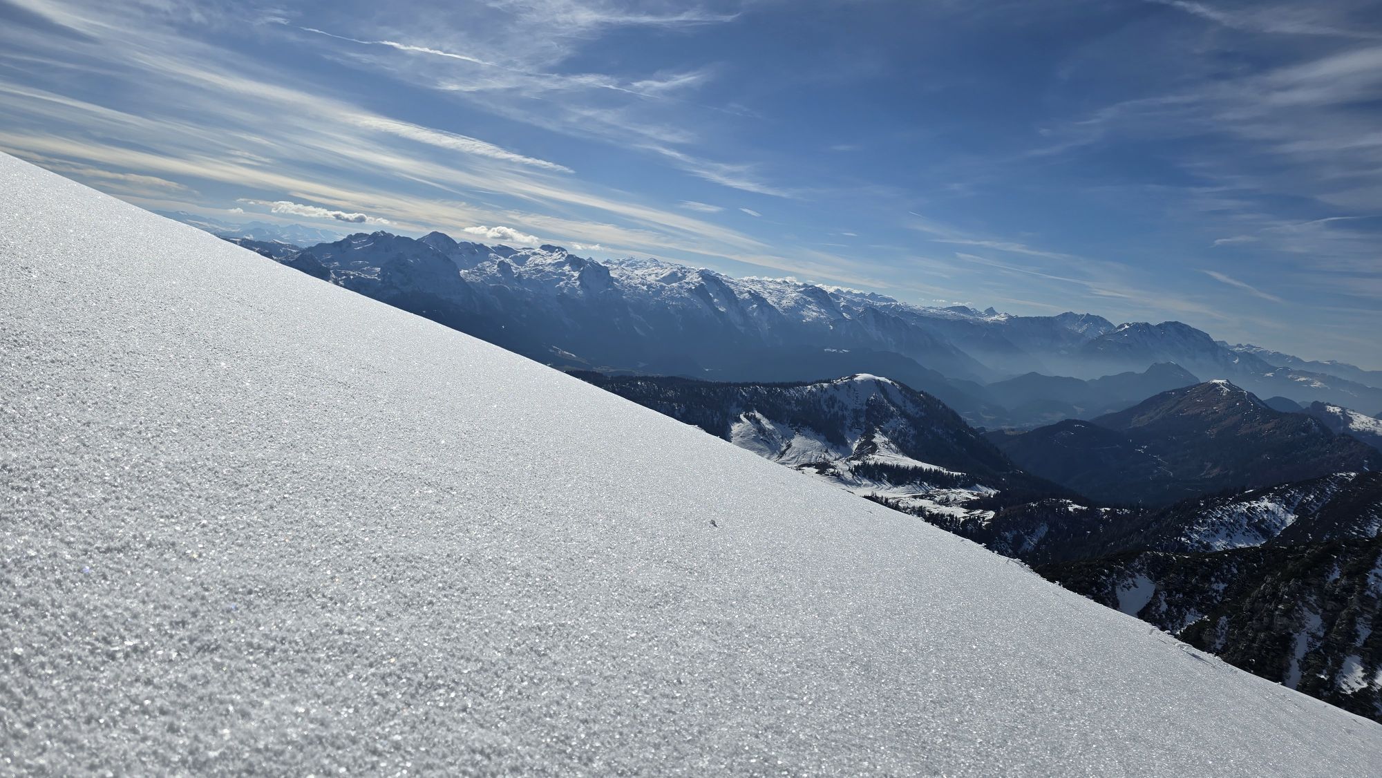
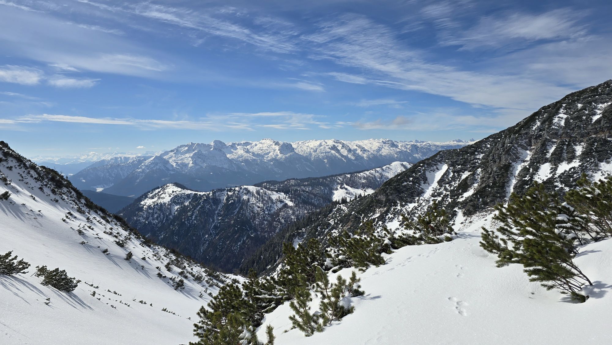
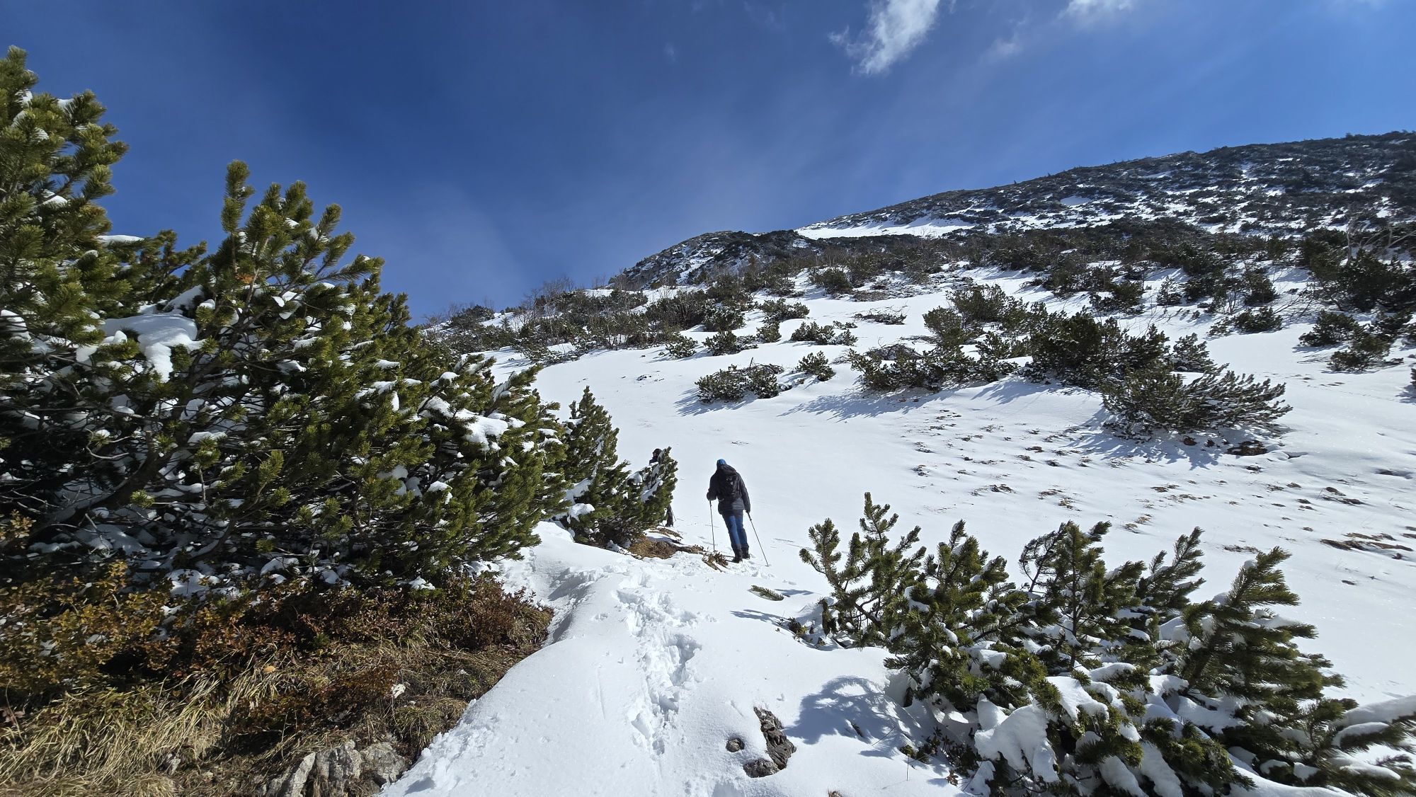
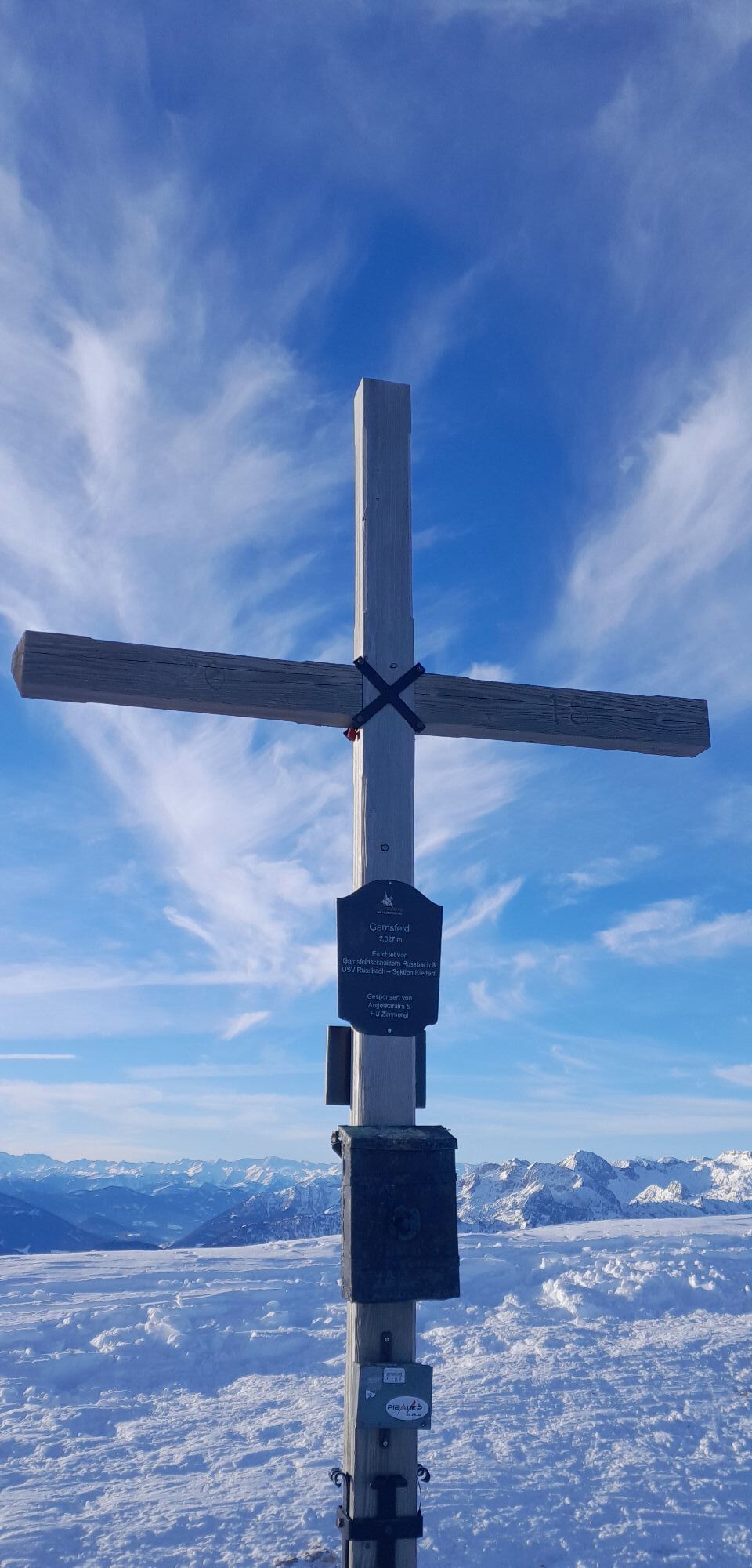
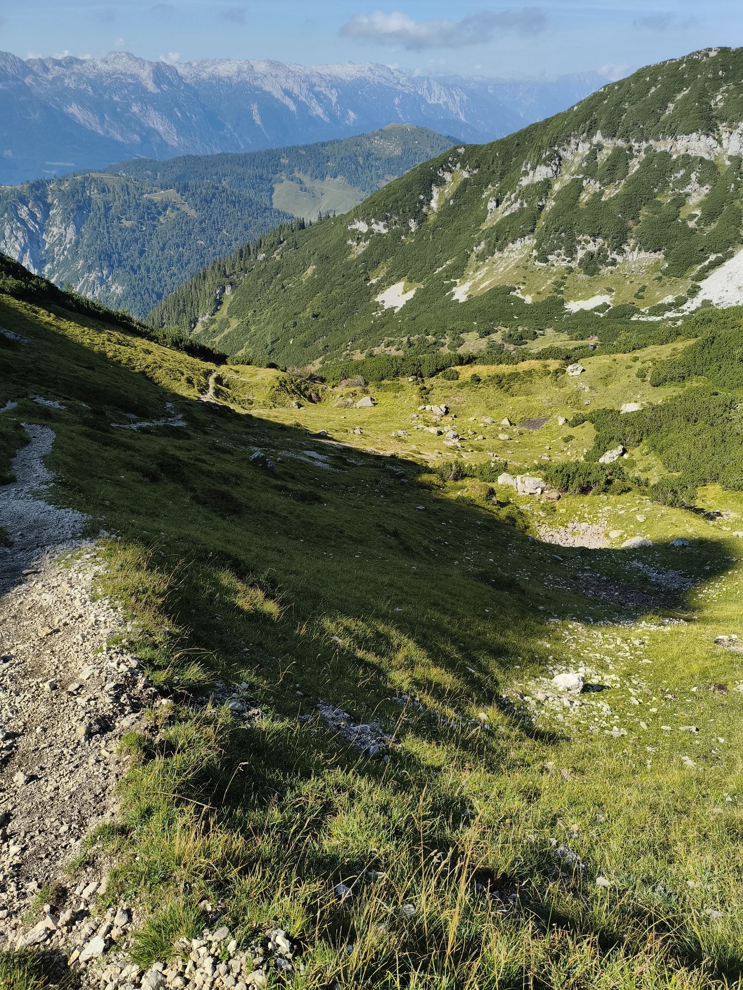
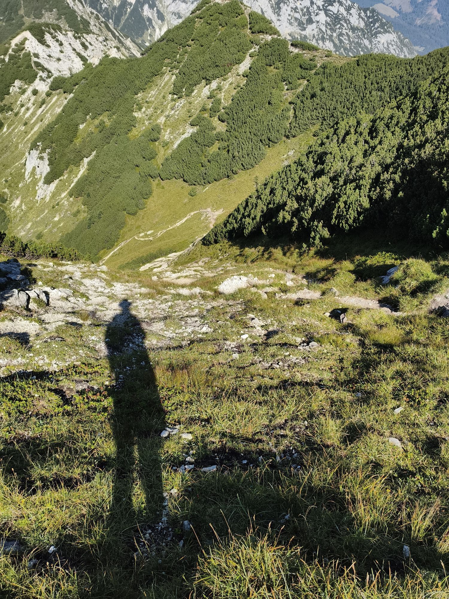
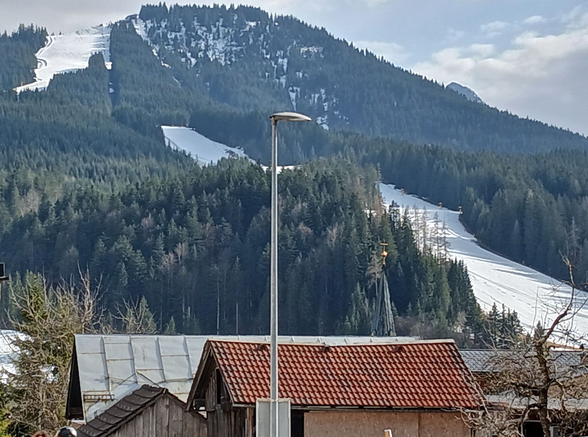
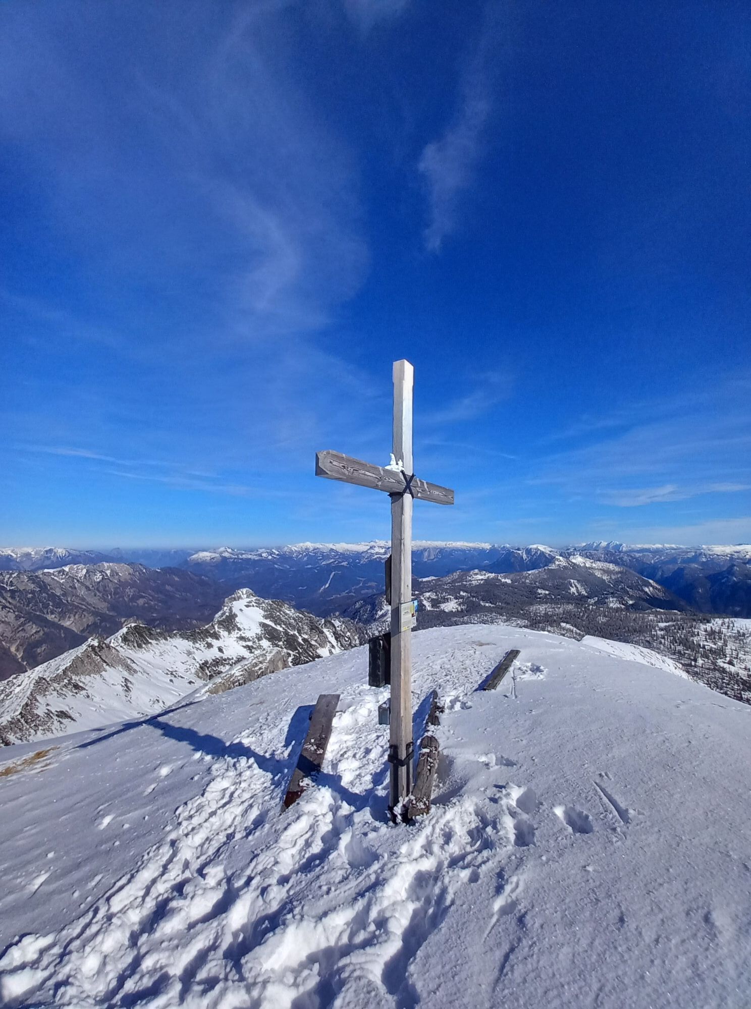
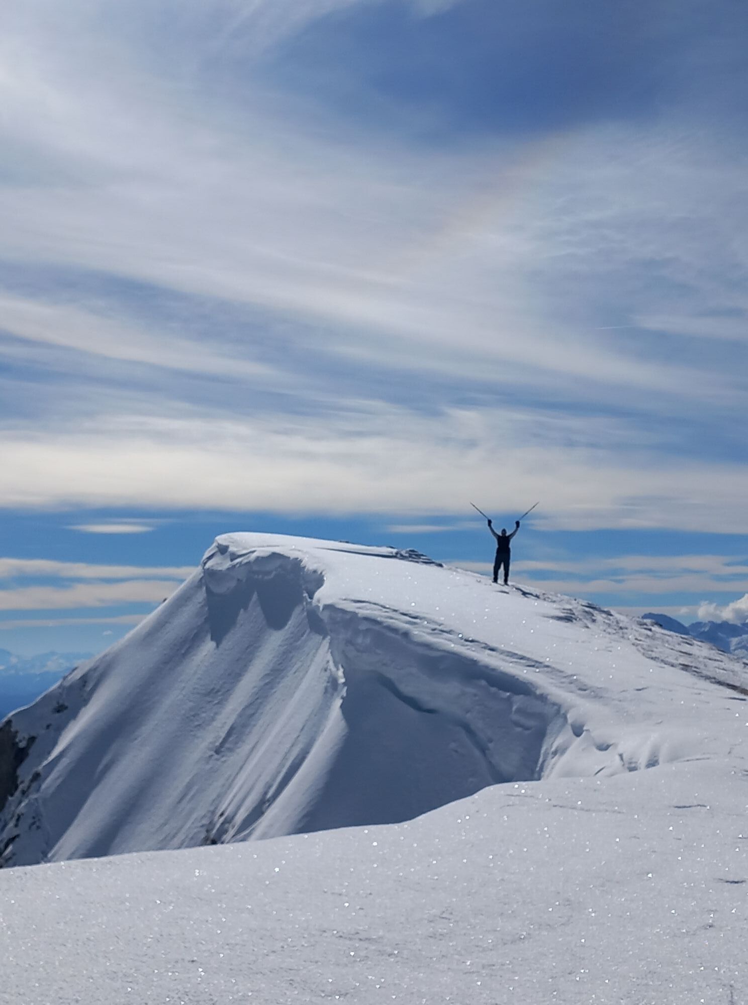
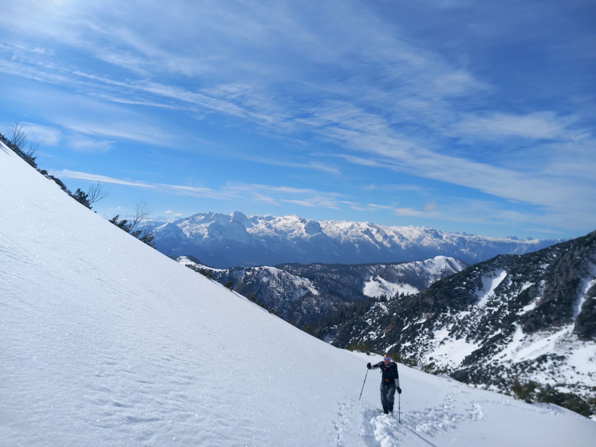
Already on the way to Rußbach, the dominant, wildly rugged Gamsfeld north of the picturesque town is impossible to miss. The mountain name is not yet fully explained: no trace of chamois and the flat field!...
Already on the way to Rußbach, the dominant, wildly rugged Gamsfeld north of the picturesque town is impossible to miss. The mountain name is not yet fully explained: no trace of chamois and the flat field! The namesake Gams field only opens up at the very end; before that, there is a steep ascent through the Angerkar. This section climbs almost 300 vertical meters on the shady north side, upgrading the otherwise quite pleasurable ski route to a difficulty level of "challenging". Crampons are almost always necessary on the frequently icy tracks. Those who want to take it more easy stay at the Angerkaralm (1423 m), open during winter holidays and winter weekends, otherwise always equipped with an accessible drink cooler. Snowshoers also like to go there. Those who want to end the rustic toboggan ride earlier are also well accommodated at the Rinnbergalm (1249 m). The one and a half hour path to there simply follows the Rinnberggraben.

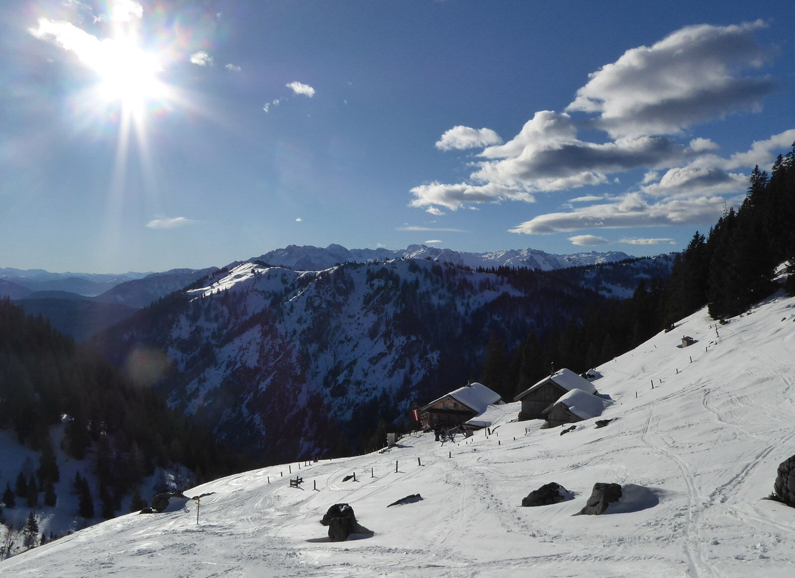
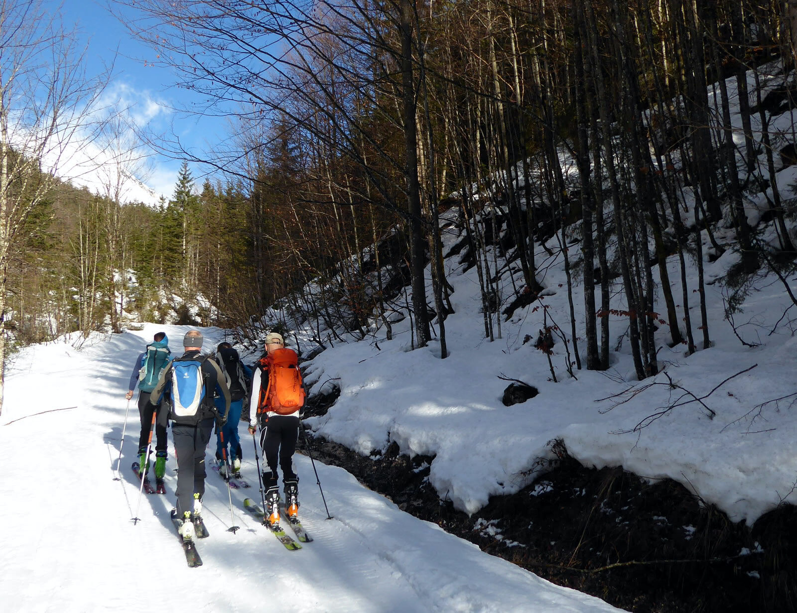
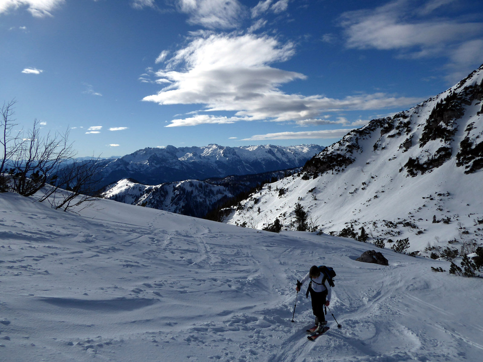
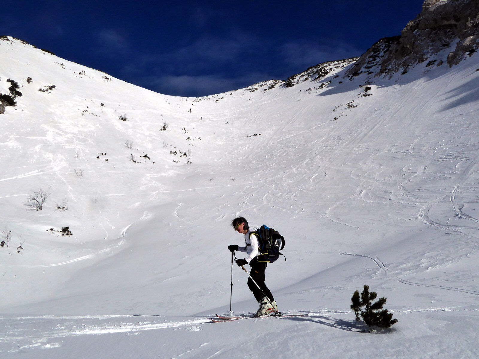
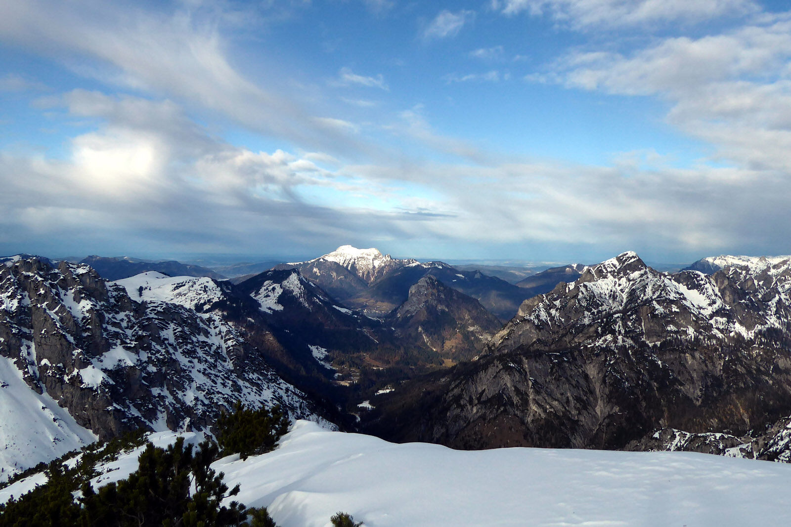
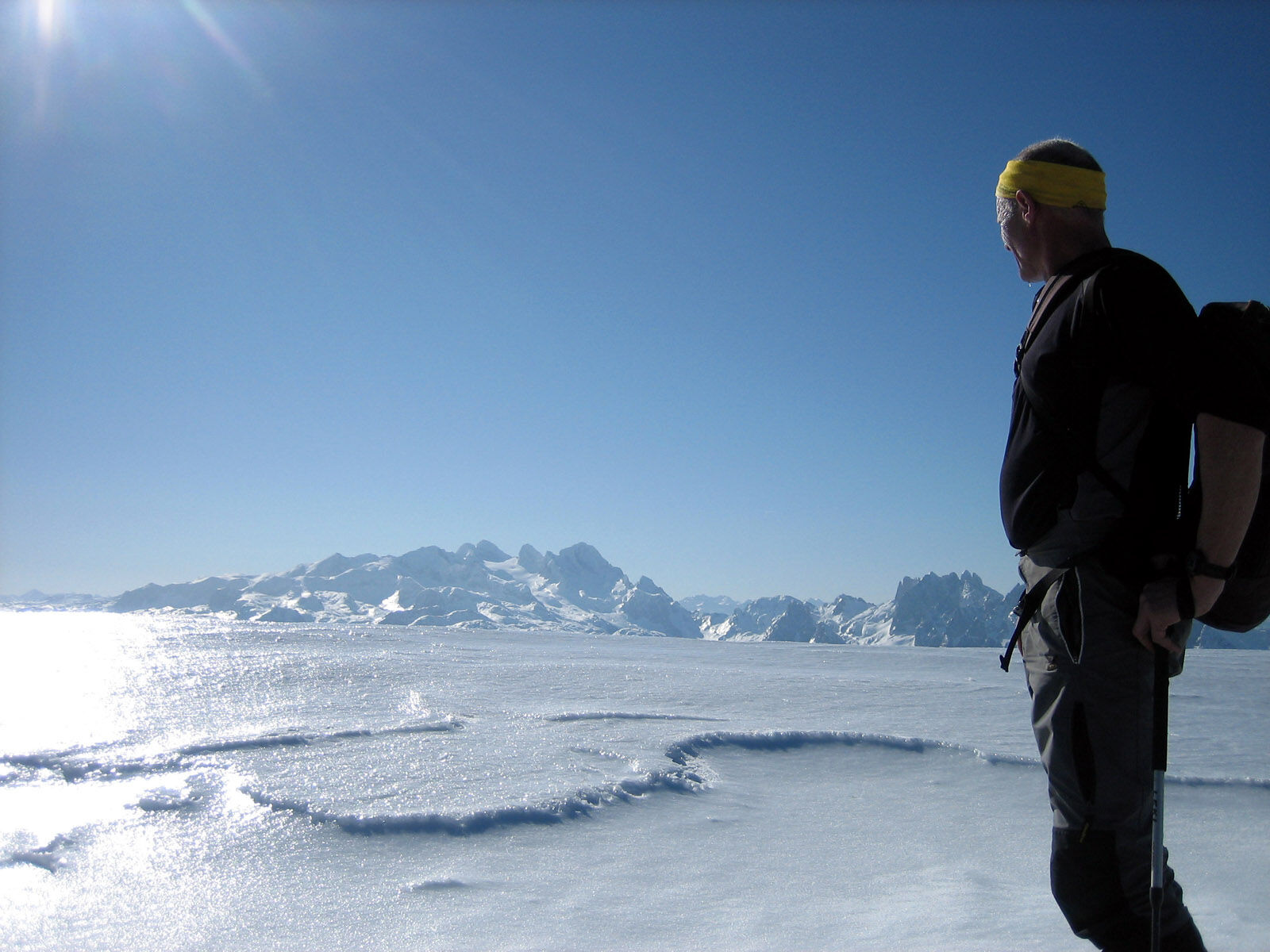
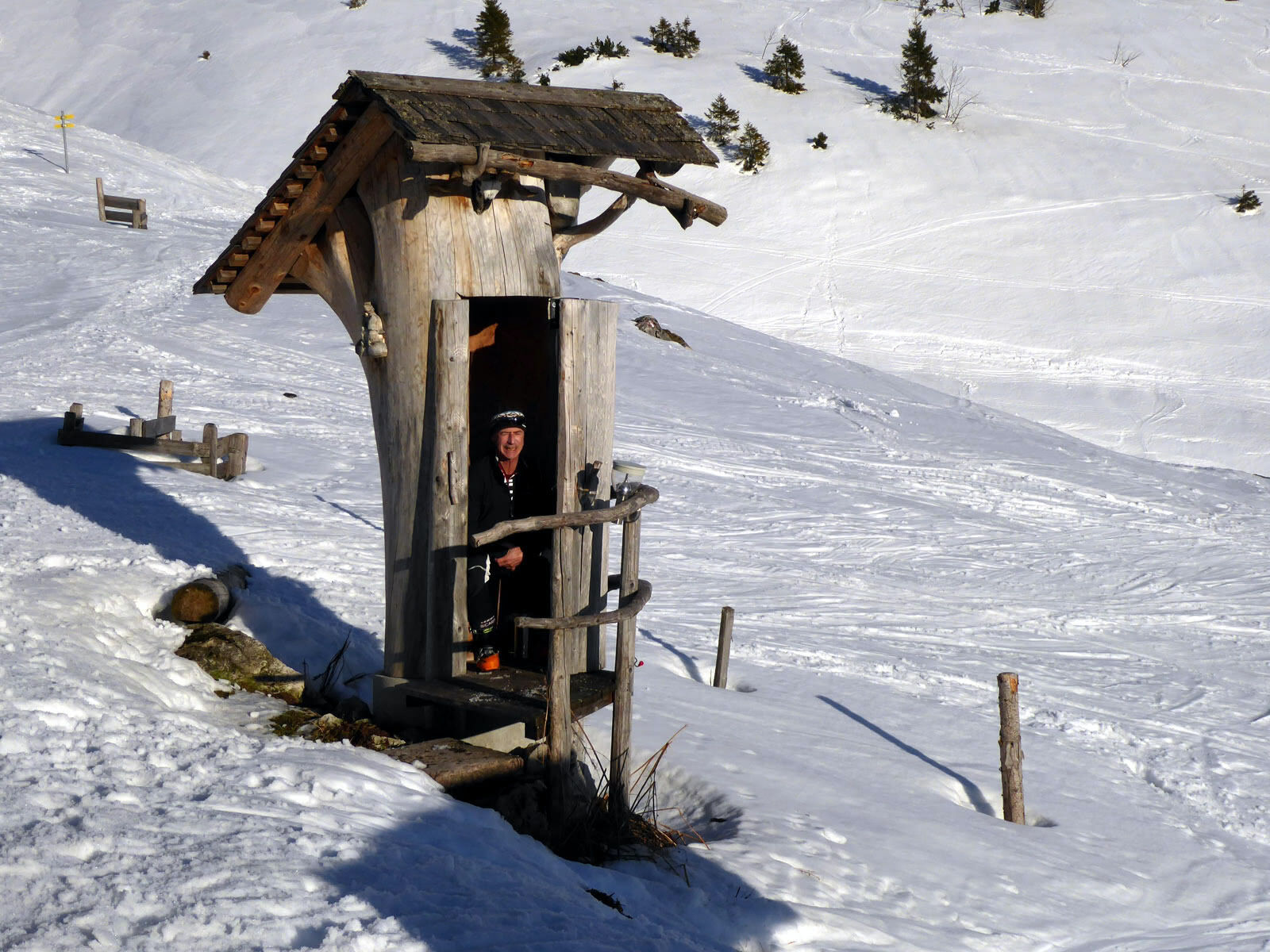
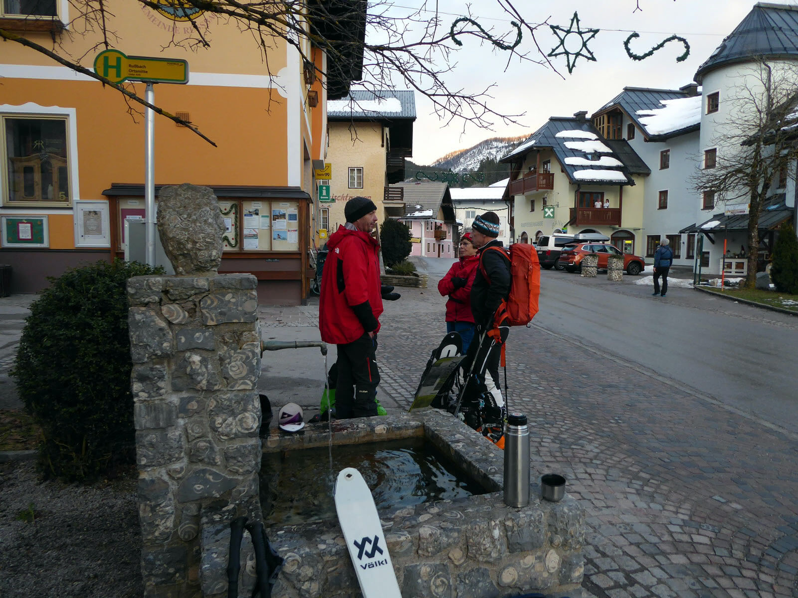

From the Rußbach town centre bus stop, first continue with skis on your shoulder, passing the municipal office on the left, following the signposted direction "Gamsfeld" for 15 minutes to the start of the Alm access road (path 32 A), which serves as a toboggan run in winter. Along the prepared route now 1.5 km to the junction of path 34 (Angerkaralm). Either here, or before the ravine to the right upwards to the Angerkaralm, the initial steepness soon lessens and the forest becomes sparser. A more comfortable, albeit half an hour longer variant remains on the service road and turns right at the Rinnbergalms (1249 m). From the Angerkaralm the track runs northward through the moderately steep stepped kar and then turns right at the end. Now follows the steepest and most unpleasant section, which after many hairpin bends turns into the Gamsfeld summit ridge running northeastwards, which only rises slightly and is often snow-blown. Descent as on the ascent to the Angerkaralm and now either on the service road via the Rinnbergalms, or continuing along the ravine to a forestry road branching off to the right and then crossing over this to the relatively snow-safe toboggan run.
Tak
Tak
Don't forget crampons.
Information on weather and avalanche conditions at www.lawine.salzburg.at
From Hallein train station (west side) or Golling-Abtenau train station (forecourt) take bus 470 to Rußbach town centre.
Schedule/frequency: Hourly from Golling on weekdays, every 2 hours on Sundays and public holidays!
Timetable information and download: Online at www.salzburg-verkehr.at or on your smartphone via the free Salzburg Verkehr app for Android and iOS.
www.russbach.info/skigebiet-dachstein-west.html
Mag. Christian Heugl
5400 Hallein
christian.heugl@gmail.com
Photo credit: Christian Heugl
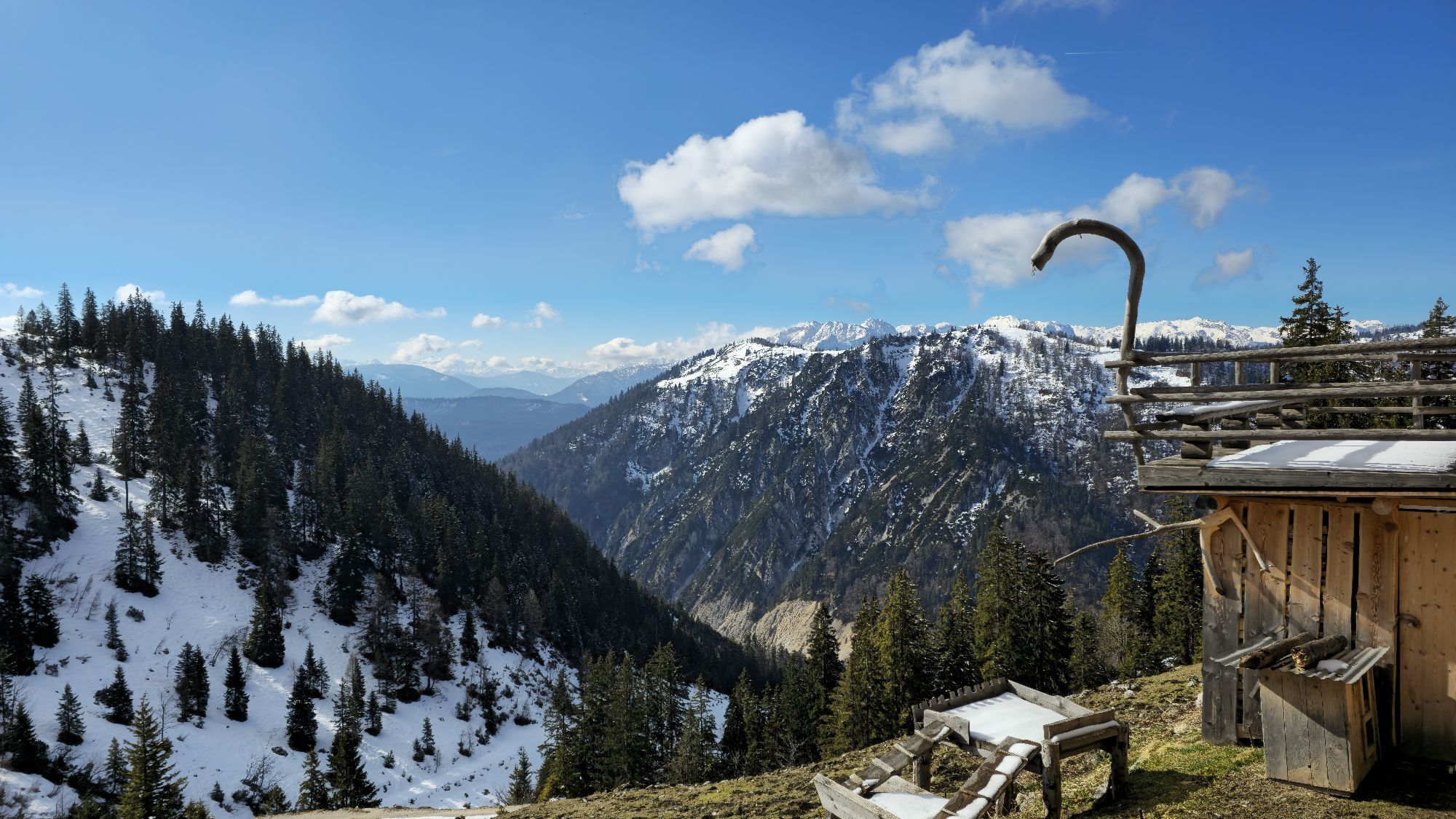
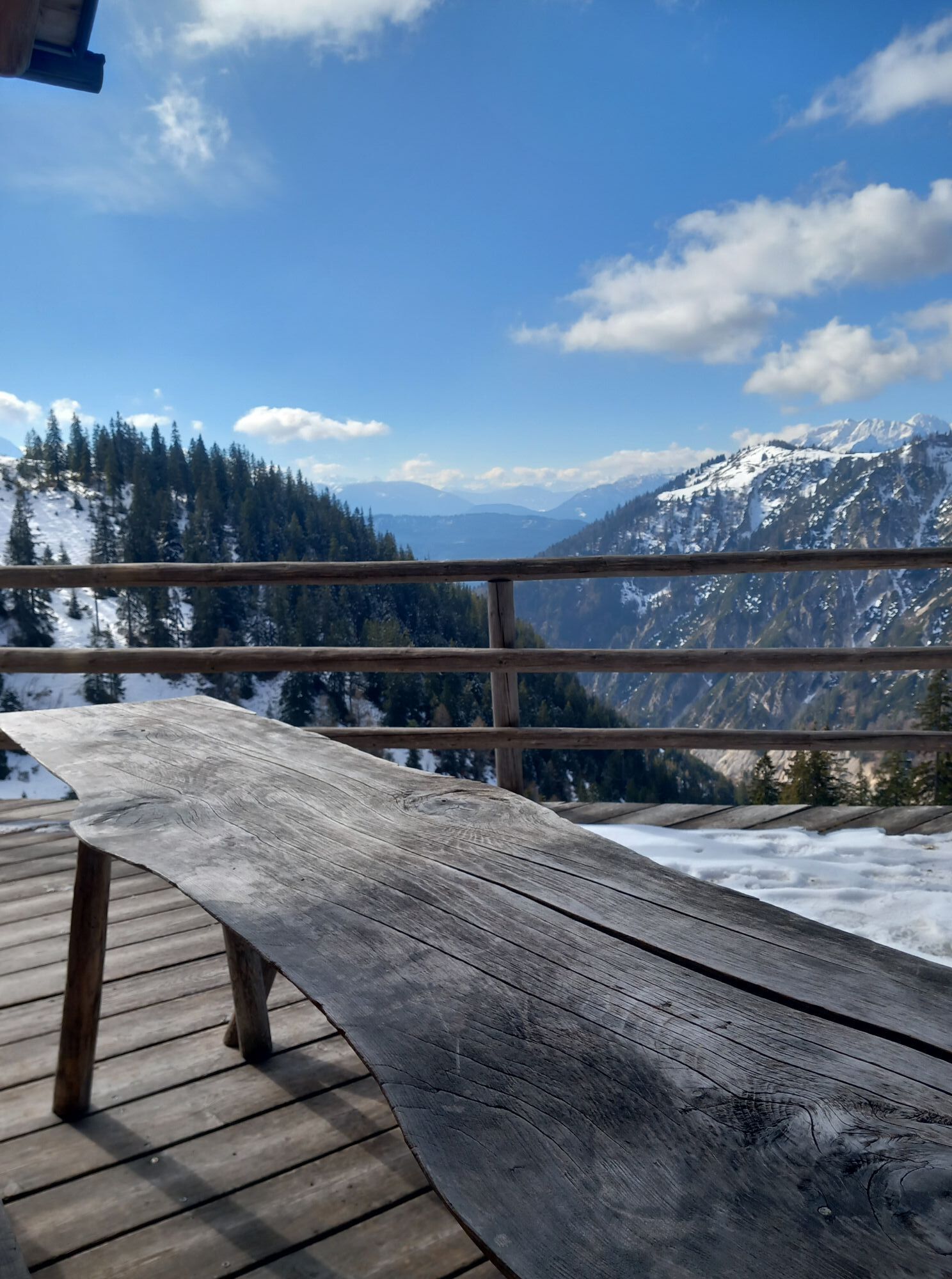
Stop for a break at the Angerkaralm. Open during holiday periods and on weekends as long as there is enough snow. www.walliser-schwarznasenschaf.at

Kamery internetowe z trasy
-
Hornspitz Talstation
-
Snowpark Dachstein West
-
Edtalm
-
Bergstation Hornbahn - Hornspitz
-
Bergstation Hornbahn - Hornspitz
-
Bergstation Hornbahn - Hornspitz
-
Bergstation Hornbahn - Hornspitz
-
Bergstation Hornbahn - Hornspitz
-
Bergstation Hornbahn - Hornspitz
-
Bergstation Hornbahn - Hornspitz
-
Postalm Zauberteppich
-
Postalm Zauberteppich
-
Postalm Zauberteppich
-
Postalm Zauberteppich
-
Postalm Zauberteppich
-
Postalm Zauberteppich
-
Postalm Zauberteppich
-
Hornspitz II Bergstation
-
Snowpark Dachstein West
-
Snowpark Dachstein West
-
Snowpark Dachstein West
Uzyskaj wgląd
Zawsze na żywo z ponad 9 500 kamer internetowych. bergfex Jako użytkownik Pro, możesz teraz zobaczyć odpowiednie kamery internetowe dla wielu wycieczek w aplikacji wycieczki od. Pozwala to na bezpośredni podgląd aktualnych warunków.
Popularne wycieczki w okolicy
-
4,9
From Rußbach over the Gamsfeld
ciężkiWędrówka 11,5 km -
4,7
Tour around the Lake Gosau
światłoWędrówka 4,43 km -
4,7
Hütteneck ski & snowshoe tour
średniRakieta do chodzenia po śniegu 3,88 km -
4,6
Adamekhütte vom Vorderen Gosausee
średniWędrówka 23,2 km -
4,4
Abtenau: Postalm circular route 3 - Wiesleralm and Postalm hut
średniWędrówka 9,09 km -
4,8
Abtenau: Postalm circular route 2 - Labenberg & Pitscherberg alms - (IVV circular hiking trail)
światłoWędrówka 10,1 km -
4,1
Illinger Alm-Runde
średniWędrówka 9,89 km -
4,8
Schwarzeneckalm-Bleckwand
światłoWędrówka 5,94 km -
4,8
Eisenaualm
średniMountainbike 37 km -
4,8
Gennerhorn über Lämmerbach
średniWędrówka 10,2 km
Wędrówki i tropienie


Nie przegap ofert i inspiracji na następne wakacje
Twój adres e-mail została dodana do listy mailingowej.





