






Ski tour in the Kitzbüheler Alpen ski area
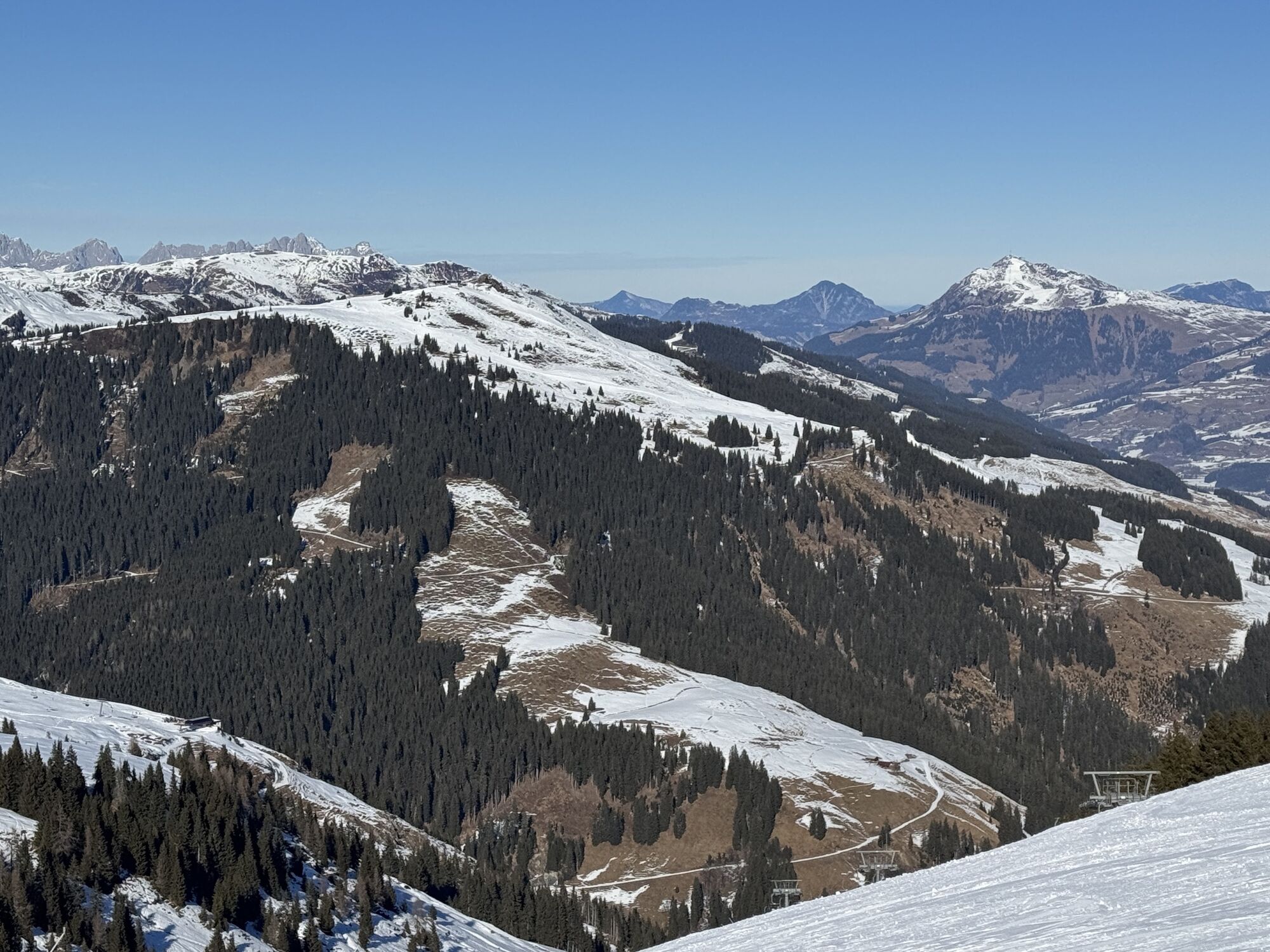
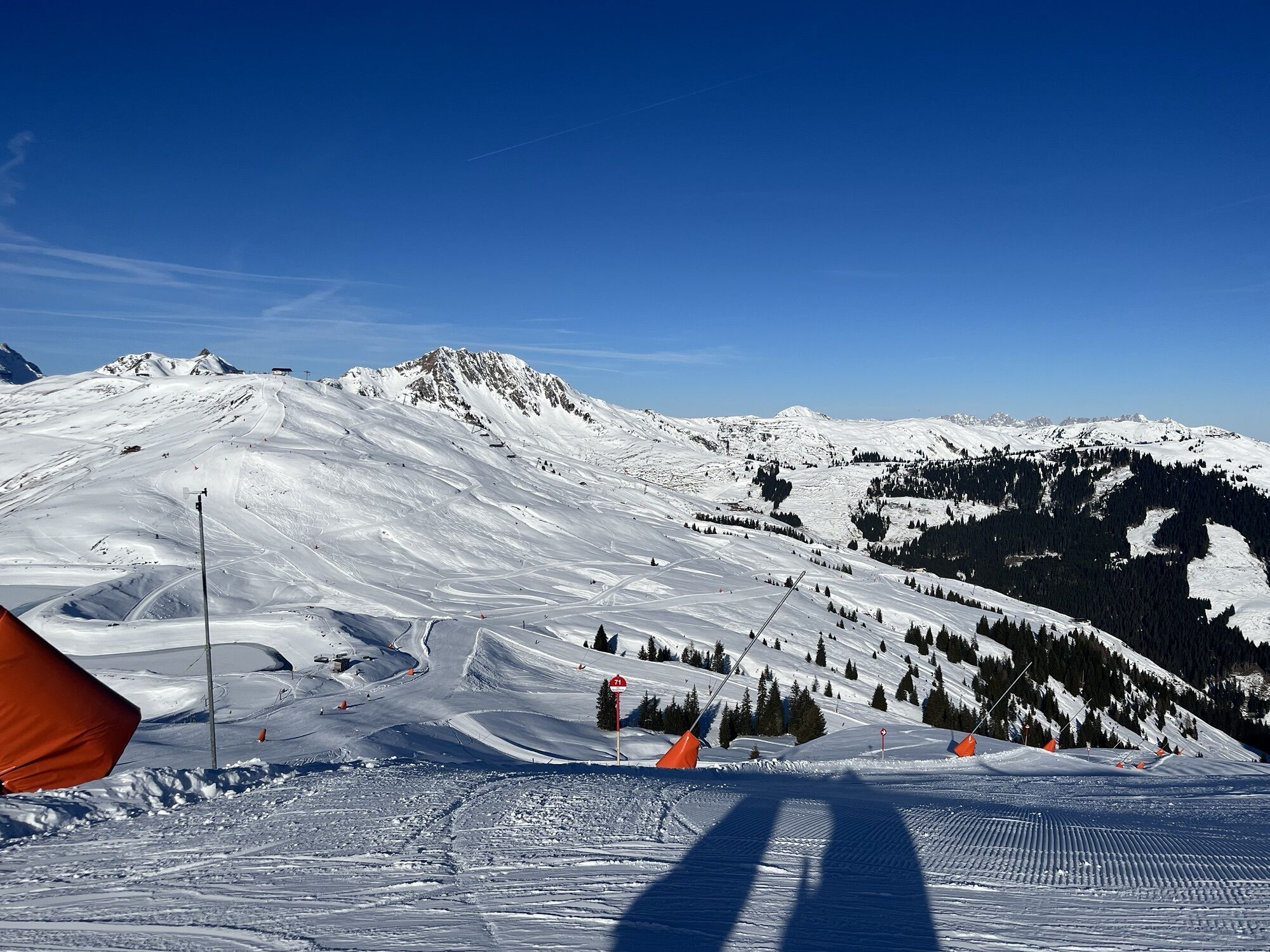
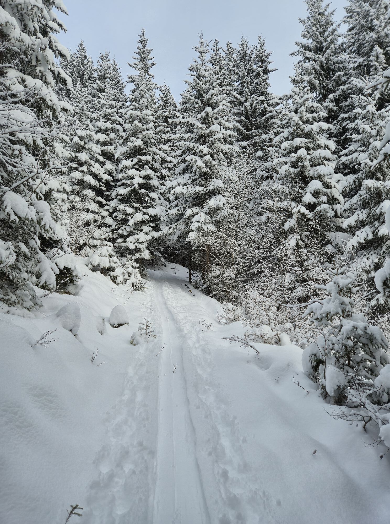
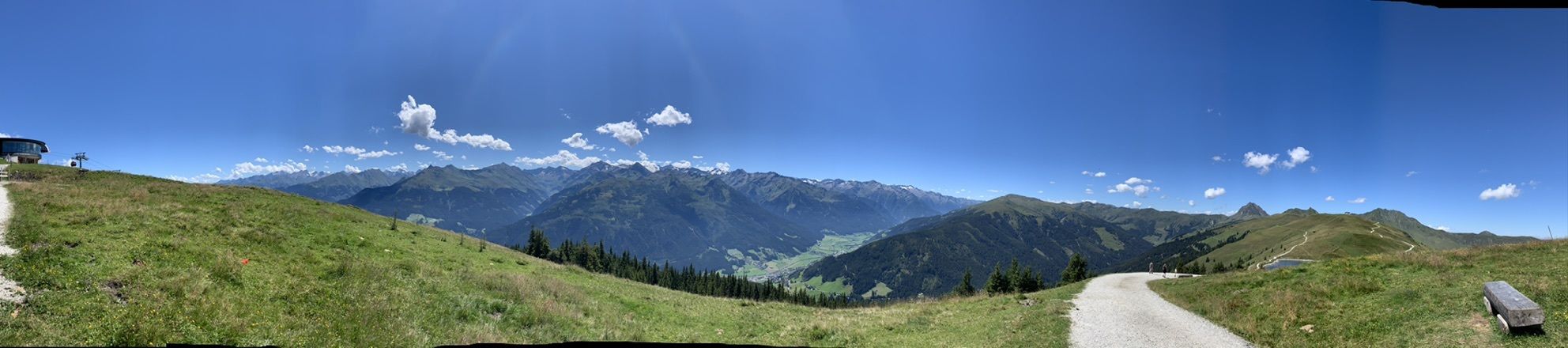
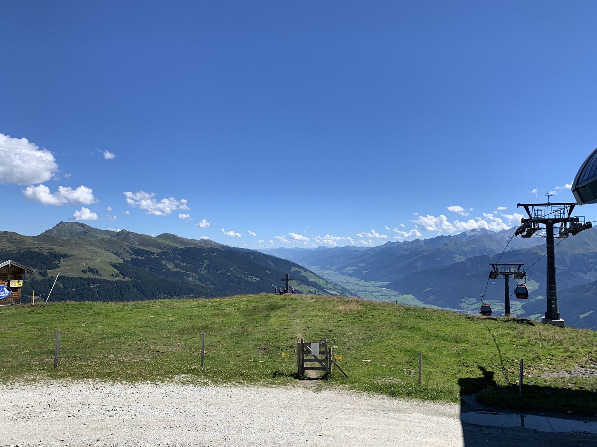
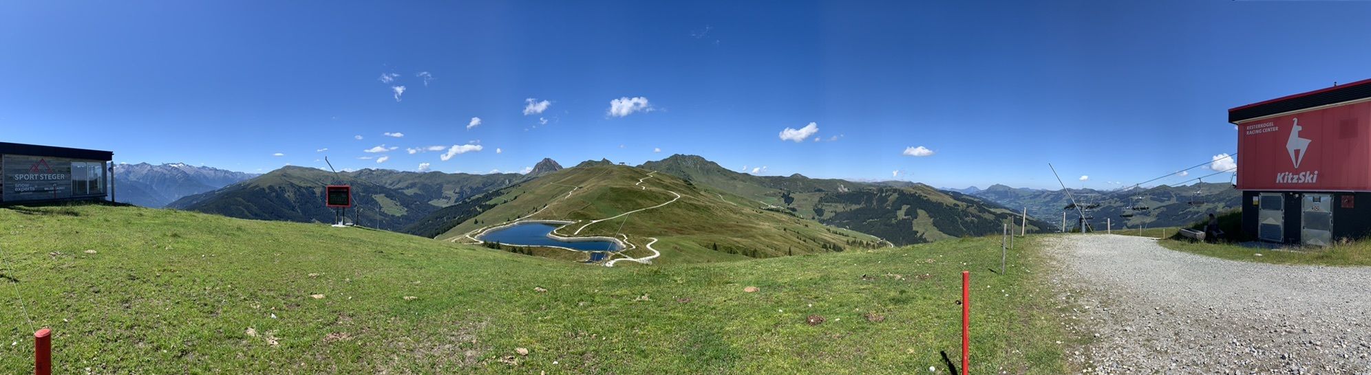
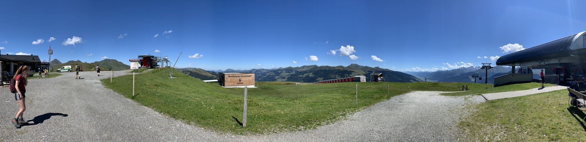
A scenically beautiful and not too long route for beginners, with a magnificent view of the Salzach valley and the peaks of the Hohe Tauern, later followed by the ski area and the mountain range of the...
A scenically beautiful and not too long route for beginners, with a magnificent view of the Salzach valley and the peaks of the Hohe Tauern, later followed by the ski area and the mountain range of the Kitzbüheler Alpen.
Orientation: south
Best time: December - March / April
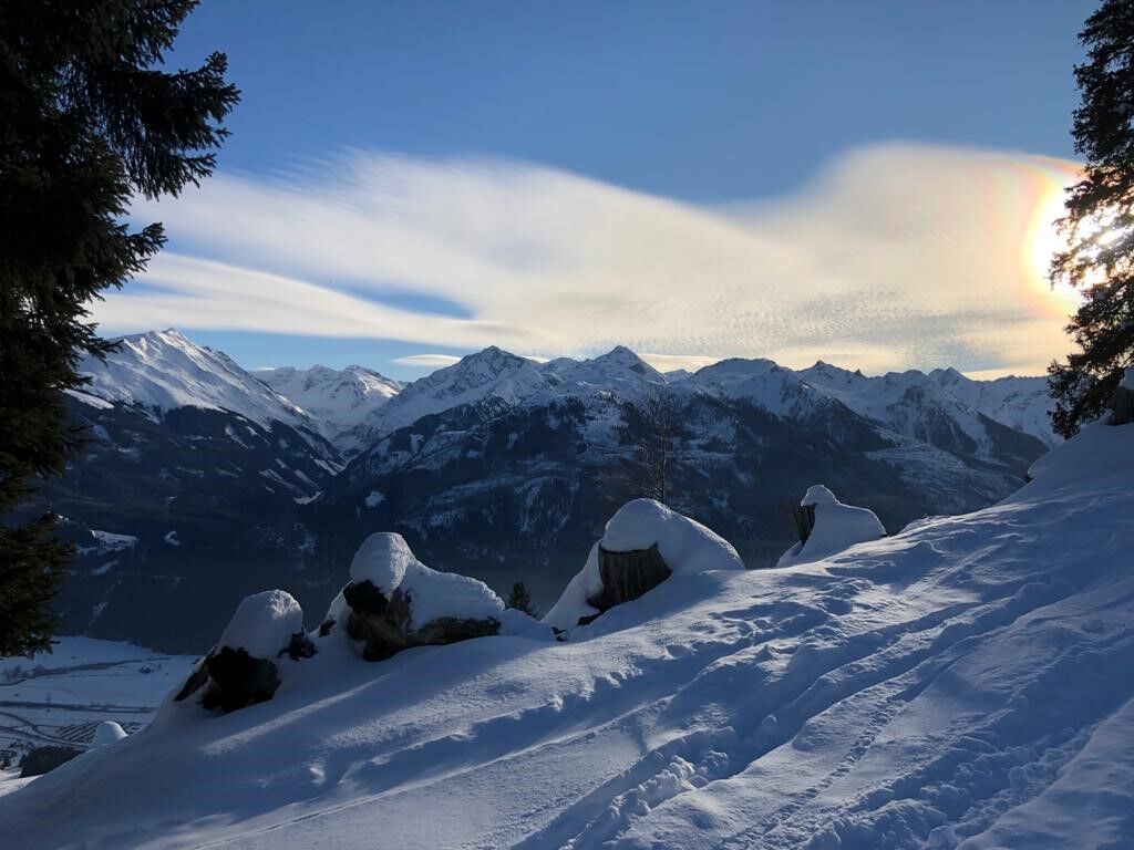
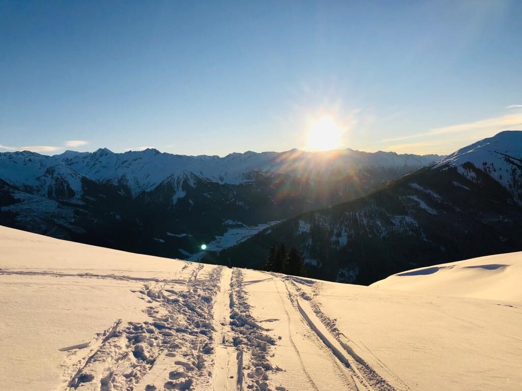
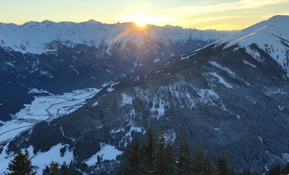

The ski route starts on a forest road, about 200 m above the Berghotel Breitmoos on the federal road B 161, towards Pass Thurn.
Parking options here are limited; alternatively, choose the parking lot at the middle station of the panoramic cable car. From there, passing the Berghotel Breitmoos on the left, we also reach the forest road via a meadow slope. After a few minutes, we cross (with caution!) slope no. 77 and continue on the other side along the forest road to a sign pointing right to Toni Alm. Here we turn left, continually ascending over the south slope, past a small hut, towards the tree line. Continuing along the track or following the signs "Resterkogel", the path clears after some time. Ahead of us, the view opens onto the large Kitzbüheler Alpen ski area and further on to the mountain restaurant Pinzgablick with the nearby summit cross of the Resterkogel.
The descent can be chosen either south- or north-facing on open terrain, or very comfortably down red slope no. 77 to the parking lot at the middle station of the Panoramabahn Breitmoos. Those who have had enough can also use the gondola here for the descent.
Tak
The basic equipment primarily consists of touring skis with skins, touring ski boots, and poles (rental possible). Additionally:
Backpack with provisions, first aid kit, mobile phone Winter clothing adapted to the temperatures Possibly additional jacket + helmet for the descentFor tours in open terrain, always think about safety equipment. This can also be rented at local sports shops or ski schools:
Avalanche transceiver Probe Shovel Optional airbag backpackSafety is the highest priority!
Even on seemingly easy routes, always pay attention to the current weather forecast and the avalanche report. Anyone venturing into open terrain without proper equipment and experience faces a high safety risk. For the less experienced, we therefore recommend joining a local mountain / ski guide who can convey all important information regarding equipment and behavioral rules in alpine terrain.
Access from Kitzbühel or Mittersill on the federal road (B161) towards Pass Thurn.
Regular ski bus connection from Kitzbühel or Mittersill to Pass Thurn
Free parking at the middle station of the Kitzbüheler Alpen panoramic cable car / Berghotel Breitmoos or on the forest road about 200 meters further up, on the left side of the federal road.
Start for ski tourers who prefer the ascent along the slope edge: Parking lot 6-person chair lift Resterhöhe at Pass Thurn (free only for season pass holders). Parking free of charge is possible on the parking areas opposite the restaurant Thurner Hag.
The Hohe Tauern National Park offers a variety of ski touring routes of differing difficulty levels, depending on personal ability and fitness.
For ambitious ski tourers, we recommend the ROTHER ski touring guide HOHE TAUERN.
A stop at the mountain restaurant Pinzgablick with a wonderful sunny terrace and Pinzgau specialties is recommended.
Up here there is also a glazed panoramic viewing platform with views over the peaks and valleys of the Hohe Tauern National Park.
Of course, there is also the option to stop after the descent at the middle station of the panoramic cable car:
Berghotel Breitmoos, Mooralm, Restaurant Sunnseit, Gasthaus Thurner Hag.
Although the route runs off the slopes and is therefore not heavily frequented, there is almost always a track to follow.
Beginners in ski touring who do not yet want to venture into open terrain can also ascend at the edge of slope no. 70 to the Resterhöhe or to the Resterkogel. Here it is always possible to abort the tour and ski down the slope again. A good idea to get used to the equipment.
Attention must always be paid to descending skiers! Snow groomers operate to prepare the slopes for the next day usually only after 7:00 p.m.
Start: Parking lot of the 6-person chair lift Resterhöhe at Pass Thurn.
 Uzyskaj wgląd Zawsze na żywo z ponad 9 500 kamer internetowych. bergfex Jako użytkownik Pro, możesz teraz zobaczyć odpowiednie kamery internetowe dla wielu wycieczek w aplikacji wycieczki od. Pozwala to na bezpośredni podgląd aktualnych warunków.
 Popularne wycieczki w okolicy
- 3,7
Smaragdwanderweg Habachtal/Bramberg
światłoWędrówka 7,17 km - 4,9
Streif Wanderweg
średniWędrówka 5,73 km - 3,8
Mittersill - Hintersee und Plattachsee
ciężkiWędrówka 9,90 km - 4,8
Hollersbach - Neue Fürther Hütte
Wędrówka 16,0 km - 4,7
Tristkogel
ciężkiWędrówka 15,6 km - 4,7
Frühmesser
średniWędrówka 10,6 km - 3,8
Brechhorngipfel (2.037m)
średniWędrówka 11,7 km - 3,9
Hollersbach: Pihapper Wegnr. 935
ciężkiWędrówka 12,8 km - 4,1
Habachtal bis zur Thüringer Hütte
Wędrówka 6,53 km - 4,9
Manlitzkogel
ciężkiWędrówka 13,4 km
Wędrówki i tropienie


Nie przegap ofert i inspiracji na następne wakacje
Twój adres e-mail została dodana do listy mailingowej.





