


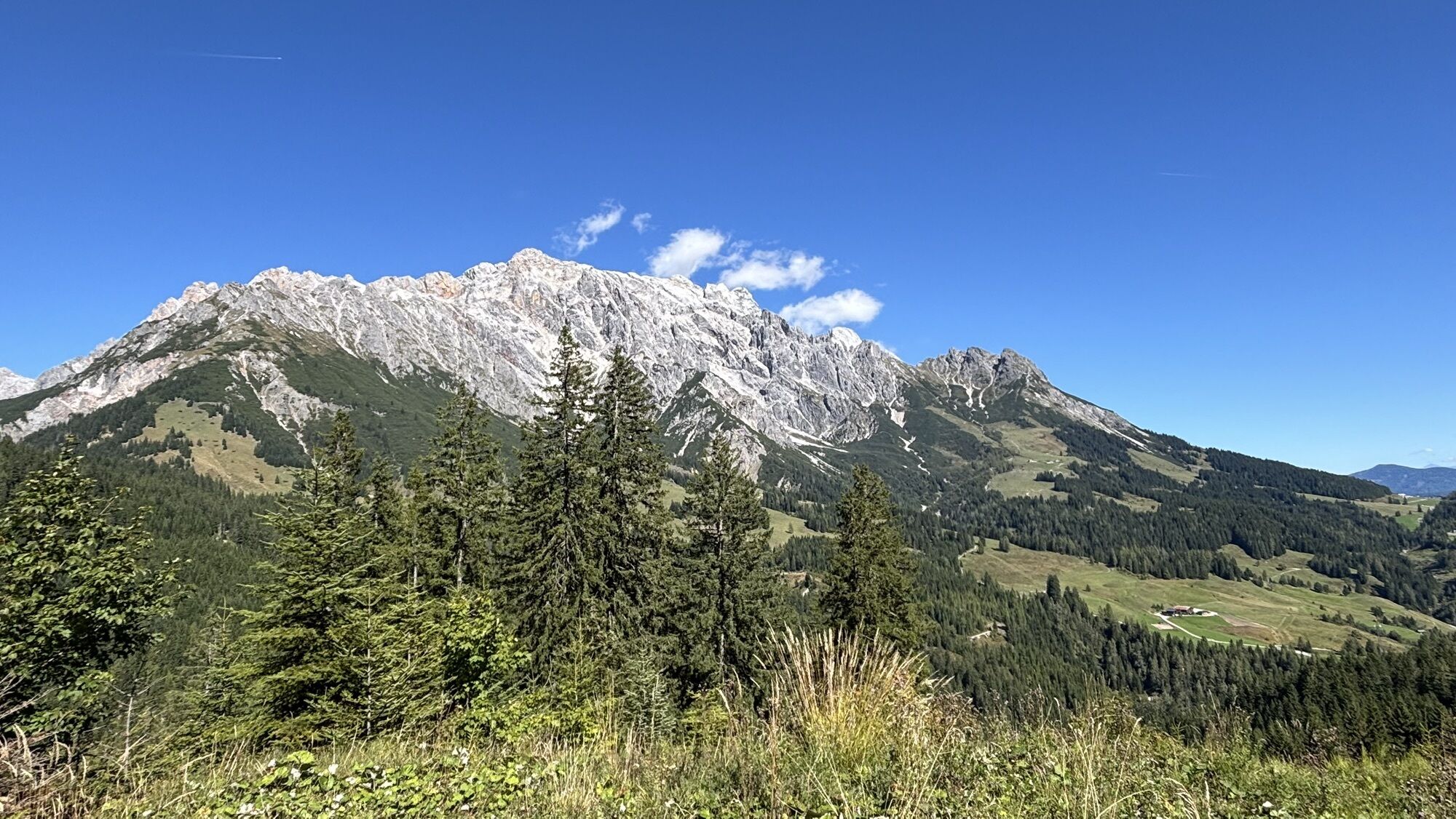
Snowshoe hike to Gabühel
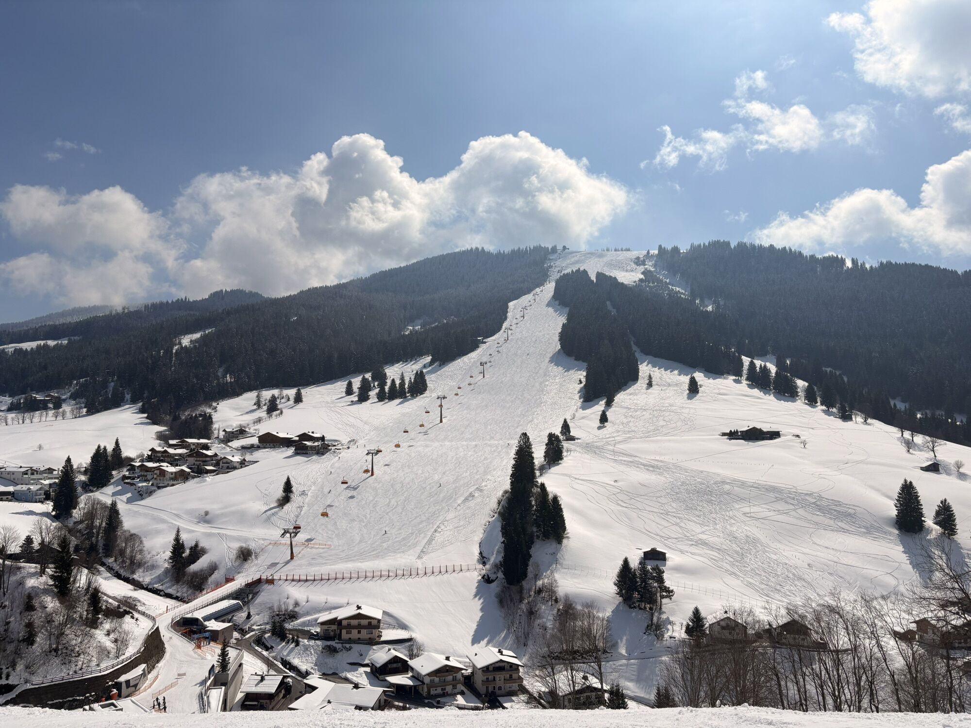
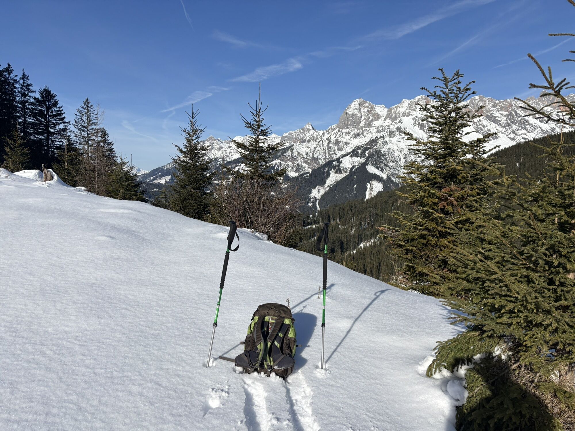
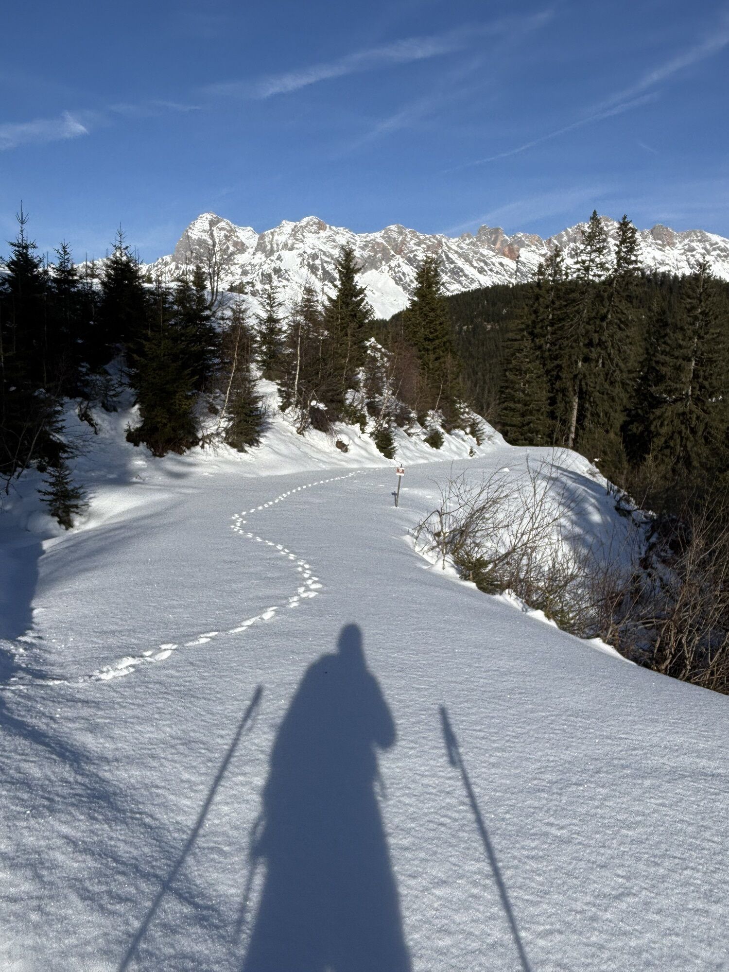
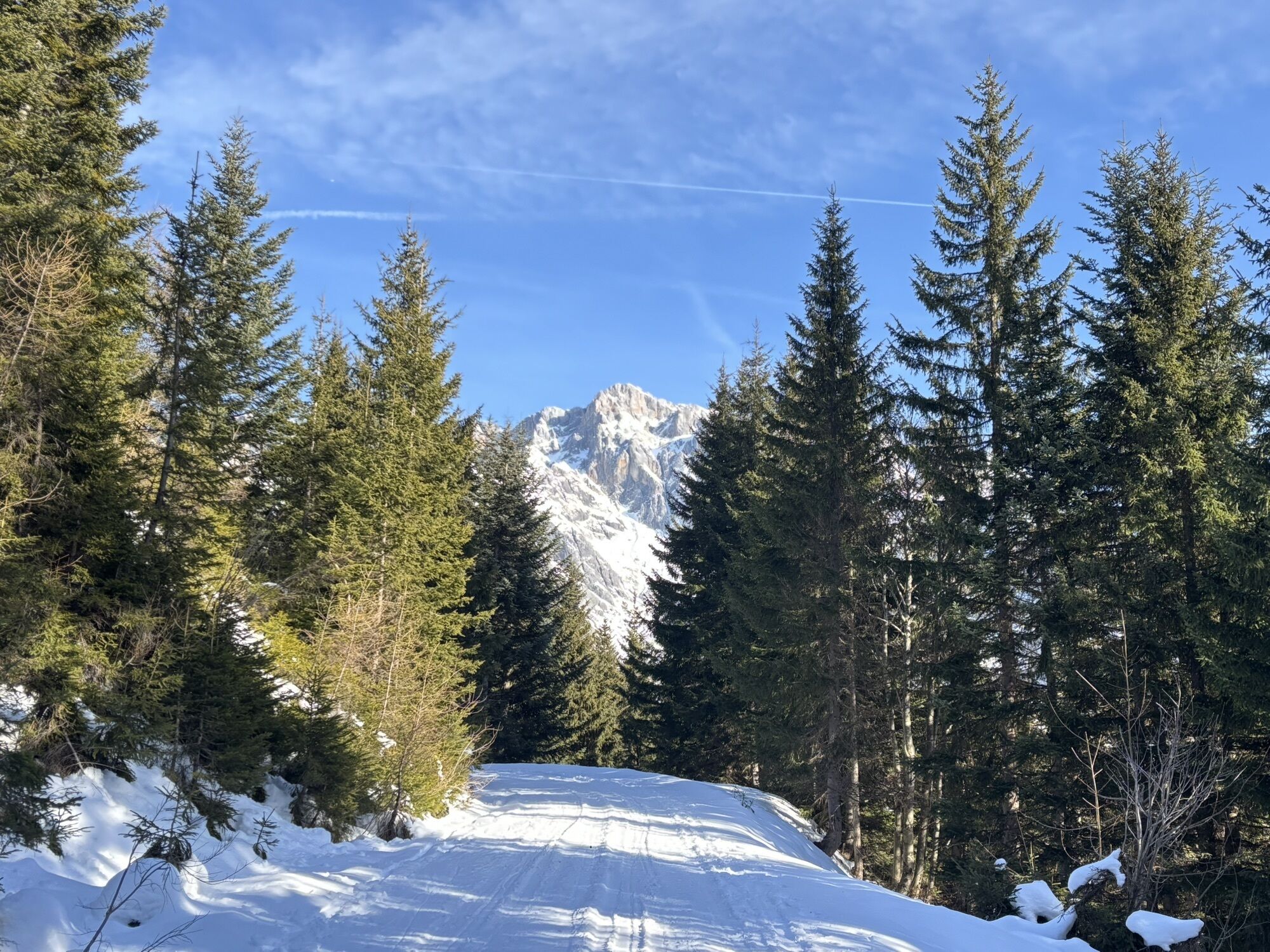
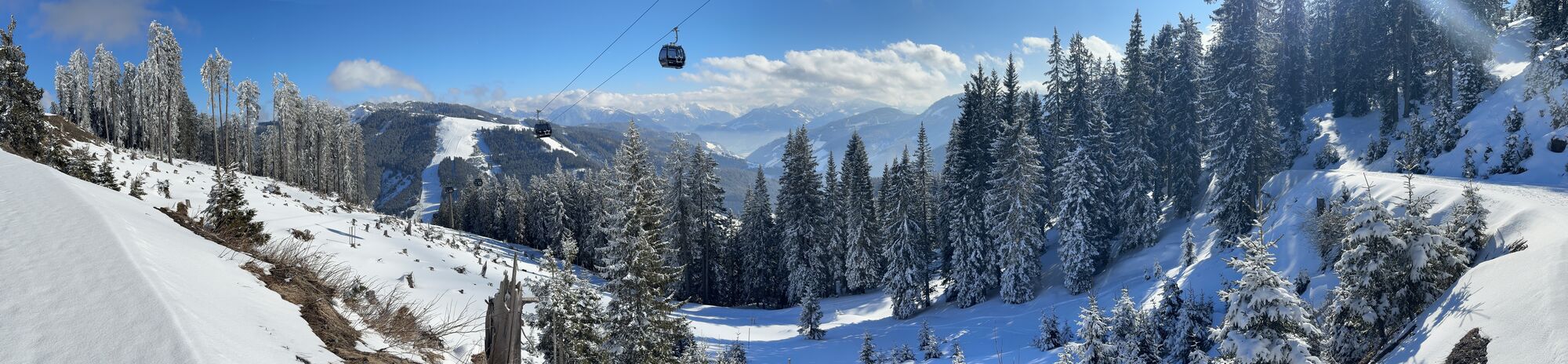
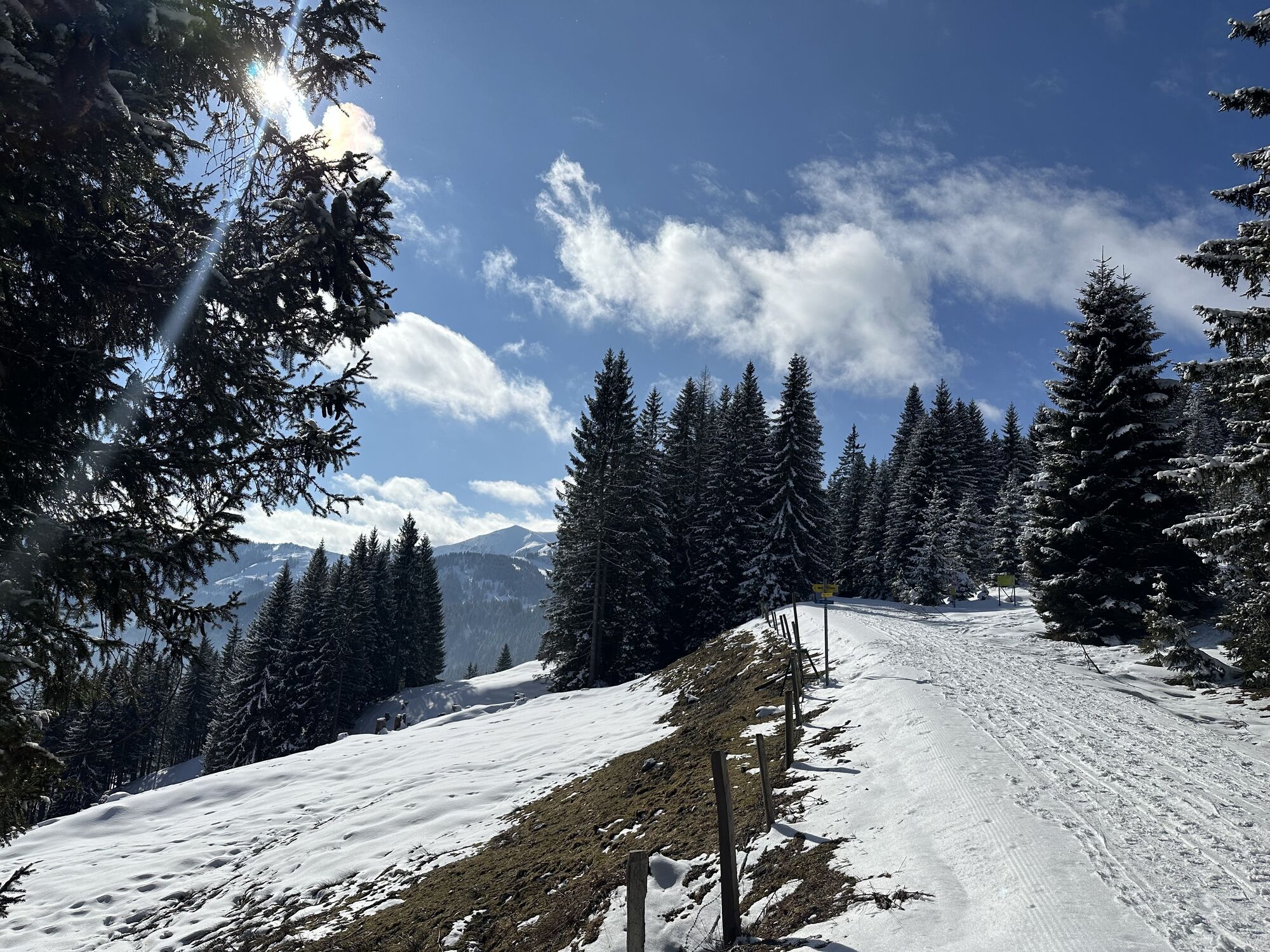
Grab your snowshoes and get ready for an exciting hike! First, cross slope no. 21 towards the Hettegger Hut, a charming private hut located a bit higher on the hillside. The ascent is a perfect start to...
Grab your snowshoes and get ready for an exciting hike! First, cross slope no. 21 towards the Hettegger Hut, a charming private hut located a bit higher on the hillside. The ascent is a perfect start to get going and enjoy the fresh mountain air. Once you have reached the Hettegger Hut, a narrow path continues into the forest. Here, the landscape becomes even more magical as you hike through the snow-covered trees. Soon you will reach path no. 50 and turn towards Filzensattel. Be sure to cross the ski slope once again – be careful and look both ways before continuing! Follow the prepared winter hiking trail to the junction to the Gabühel Hut and Steinbockalm on the left side. Path no. 51 takes you a bit further until you discover a small steep path on the right side that leads you directly to the Gabühel Hut. Here you can take a well-deserved break and enjoy the breathtaking views of the surrounding mountains. When you are ready to head back, you have two options: You can return the same way, letting the winter landscape’s beauty enchant you once more. Alternatively, you can use the 10-person gondola Gabühel for a comfortable ride back to the valley. Get ready for an unforgettable experience on your snowshoe hike to the Gabühel Hut! Every step brings you closer to the perfect mountain getaway!

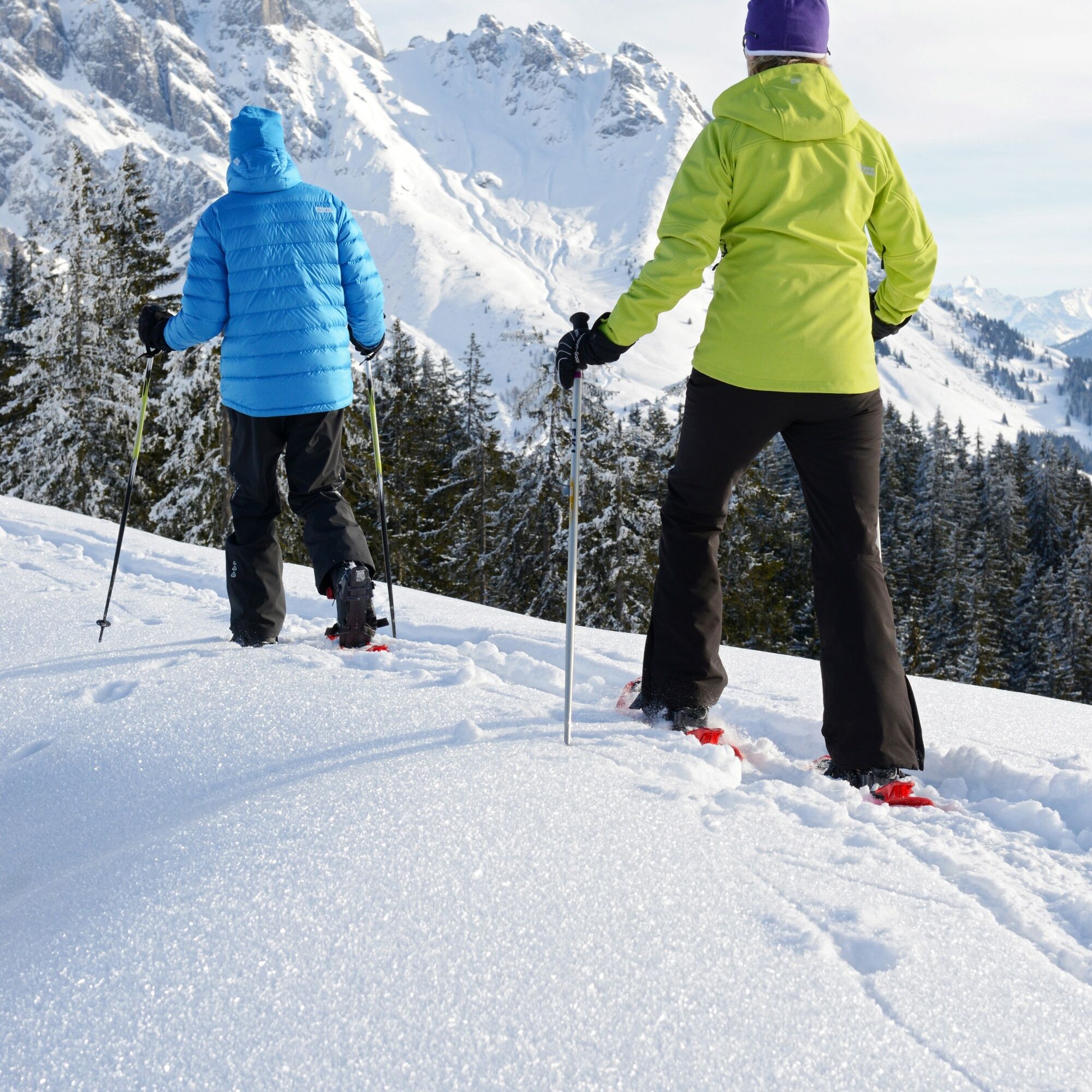
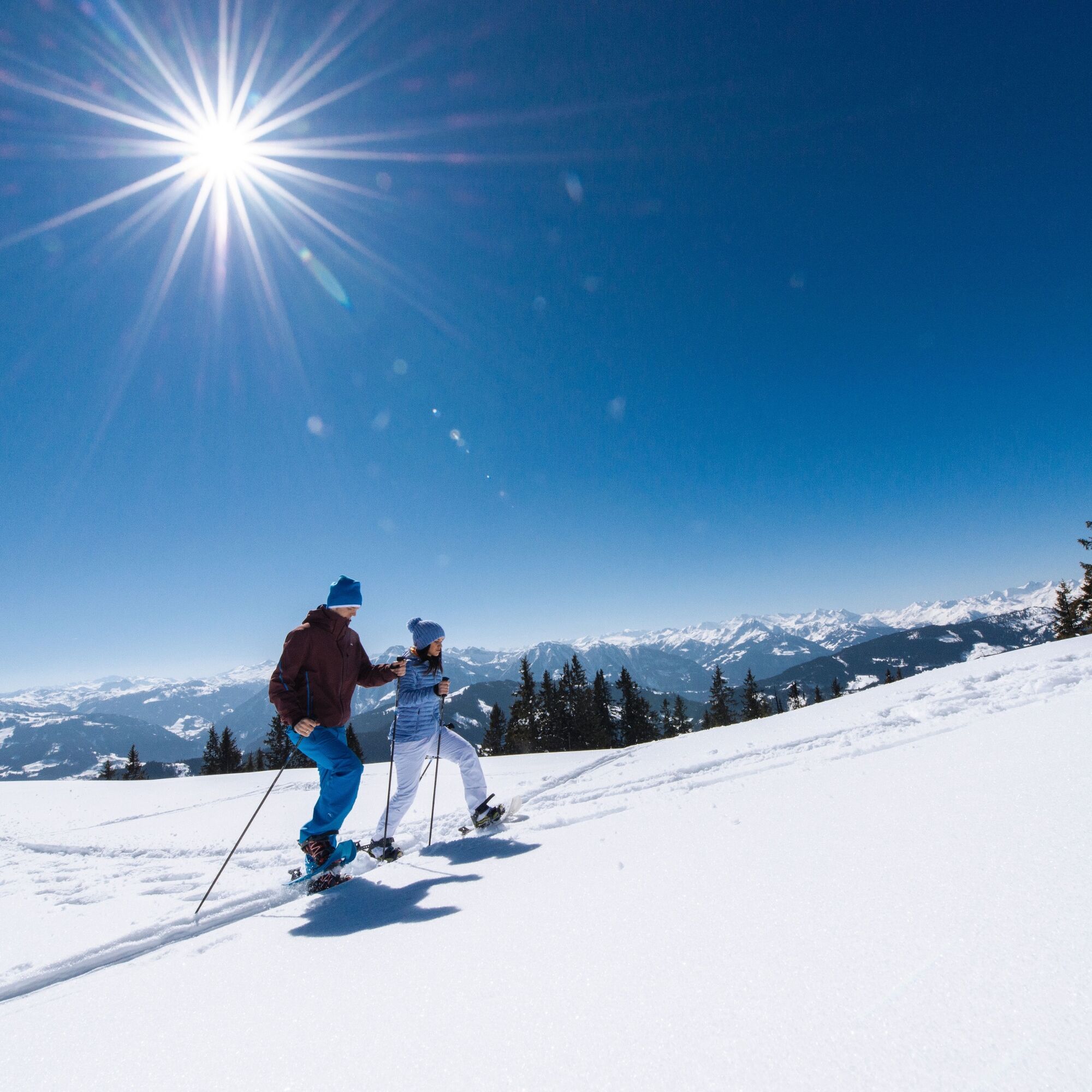
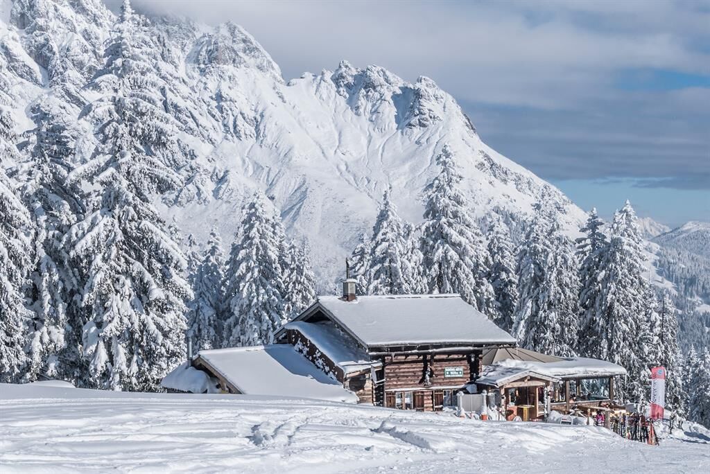
Start your hike at the valley station of the Gabühelbahn. Walk towards slope no. 21. Make sure to cross the slope safely and follow the path leading to the Hettegger Hut. After crossing the slope, you will reach the Hettegger Hut, which is located on the hillside to the left. Directly behind the hut, a path leads into the forest. Take this path and continue upwards. After a while, you will reach path no. 50. Here, turn left towards Filzensattel. Follow the prepared winter hiking trail. Be careful to cross the ski slope again, then continue your way. After a while, you will reach the junction to the Gabühel Hut/Steinbockalm on the left side. Turn left here. Follow path no. 51 for a bit. Watch for the sign that leads to the Gabühel Hut. On the right side, you will see a small steep path that branches off to the Gabühel Hut. Take this steep path and follow it to the hut. After a short ascent, you will reach the Gabühel Hut, where you can take a well-deserved break.
Tak
Sturdy, waterproof footwear
Snowshoes
Appropriate winter clothing with gloves
Adjustable poles
Backpack with hot drink and light snack
Necessary medications
First aid kit
Healthy in the mountains: Ski and snowshoe tours are endurance sports. Valuable stress stimuli for the heart and circulation require health and good self-assessment. Avoid time pressure and choose a pace so that no one in your group gets out of breath. Pay attention to reserves of strength for the descent.
Careful planning: Use maps, guidebooks, the internet, and experts to inform yourself about length, altitude difference, difficulty, and current conditions. Special attention should be paid to the weather report, as strong wind and poor visibility greatly increase the risk of accidents.
Study the avalanche report: Inform yourself thoroughly about the current danger level (European avalanche danger scale with 5 levels) before starting the tour. Pay particular attention to information about danger spots (where is it dangerous today?) and sources of danger (what is the main danger today?).
Complete equipment: Adapt your equipment to the winter conditions and watch for a low backpack weight. For avalanche emergencies, an avalanche transceiver, shovel, and probe are standard, as well as a first aid kit, bivy sack, and mobile phone. An airbag system increases your chances of survival.
Regular drinking breaks: Liquids, energy, and breaks are necessary to maintain your performance and concentration. Hot, isotonic drinks are ideal thirst quenchers and heat providers. Easily digestible foods such as muesli bars, dried fruits, and cookies satisfy small hunger on the way.
Weigh avalanche risk: When recognizing avalanche danger, your options are limited. Therefore, base your decisions on strategic risk assessment methods (reduction methods) and learn to recognize danger signs in the terrain.
Keep distances: Maintain relief distances of 10 m uphill on steep slopes (≥ 30°) to reduce pressure on the snowpack and improve comfort during switchbacks. On descents, always keep distances of at least 30 m and descend very steep slopes (≥ 35°) individually.
Avoid falls: Falls during descent are the most common cause of accidents on ski tours. For the snowpack, they also mean a large additional load. Good skiing technique and speed adapted to your ability reduce the risk. A ski helmet can protect against head injuries.
Small groups: Small groups enable mutual help and reduce the avalanche triggering risk. Stay together as a group. Warning to those hiking alone: even small incidents can lead to serious emergencies. Always inform trusted persons about your destination, route, and return.
Respect for nature: To protect nature: Do not leave trash, avoid noise, do not enter reforestation areas, and respect protected and restricted areas. Pay special attention to wildlife in winter! For arrival, form carpooling groups or use public transportation.
Emergency numbers: Alpine emergency: 140, International emergency: 112
Arrival coming from Salzburg: Take the A10 motorway to the Bischofshofen exit, then the B311 towards Bischofshofen. Follow the Hochkönig federal road/B164 to Mühlbach and further to Dienten.
Arrival coming from Innsbruck/Kufstein: Take the Loferer Straße/B178 towards St. Johann i.T., then via the Hochkönig federal road/B164 over Saalfelden and Maria Alm to Dienten or the Filzensattel.
A valid vignette is required for using the Austrian motorway and expressway network. Also, it is mandatory to carry a first aid kit, warning triangle, and reflective vest. More info at Asfinag.
ÖBB-Scotty: Timetable information
Bus line 620: Timetable information
Bus line 631: Timetable information
Ski bus: Timetable information
Free parking available at the Dienten ski area and at the Almhäusl
An overview map is available at the service center.
www.hochkoenig.at
region@hochkoenig.at
+43 (0)6584 20388
Stopover at the Gabühel Hut
Popularne wycieczki w okolicy
-
4,2
Maria Alm - Riemannhaus
Wędrówka 3,99 km -
4,8
Summit stormer route Lauskopf
ciężkiWędrówka 8,16 km -
4,8
Summit storming route Taghaube
ciężkiWędrówka 6,25 km -
4,7
Panorama hike to the Hochkeil
średniWędrówka 6,07 km -
4,7
About the "Four Huts circular route" to Windraucheggalm
średniWędrówka 10,1 km -
3,6
Wanderung zur Ostpreußenhütte in Werfen (1.630 m)
średniWędrówka 11,2 km -
4,6
Steinalm
światłoWędrówka 2,71 km -
4,3
Schwalbenwand Nr. 80, 81, 82
średniWędrówka 13,0 km -
4,4
Peter-Wiechenthaler Hut
średniWędrówka 4,32 km -
4,8
Hochkönig - Gipfel der Gefühle - Matrashaus
ciężkiWędrówka 20,9 km
Wędrówki i tropienie


Nie przegap ofert i inspiracji na następne wakacje
Twój adres e-mail została dodana do listy mailingowej.