







Pilgrimage for beginners from Oberndorf to Obertrum

Long pilgrimages are trending. However, before you embark on the Camino to Santiago de Compostela, over 2,000 kilometers away, smaller trial routes are recommended for practice and getting used to it....
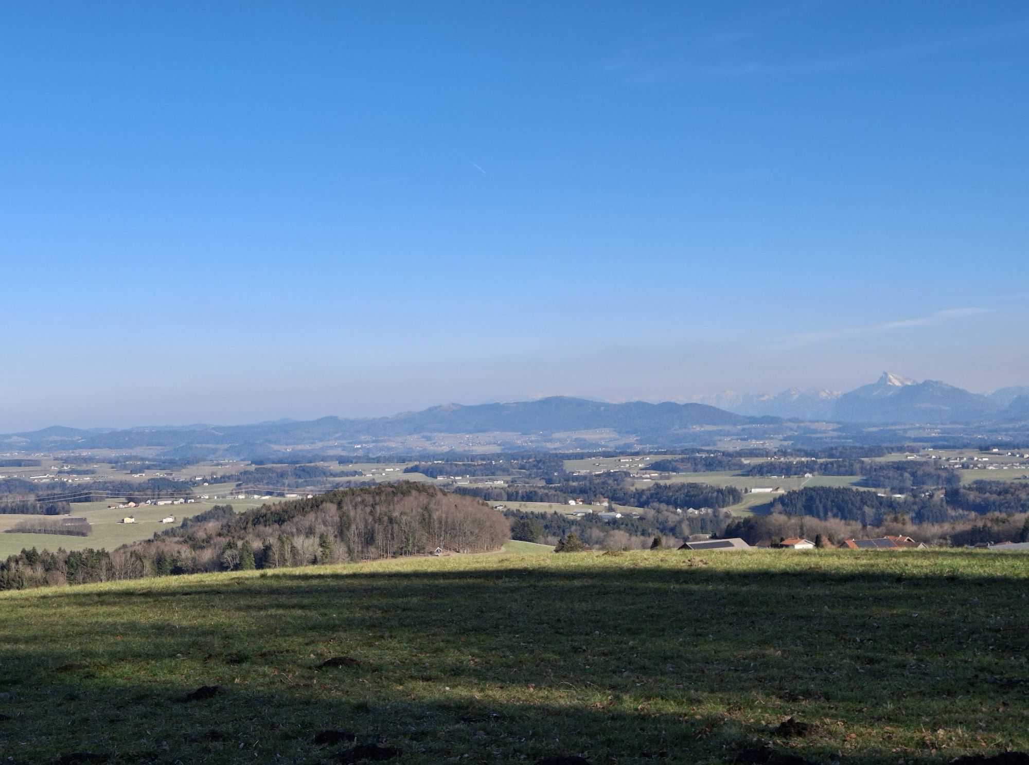
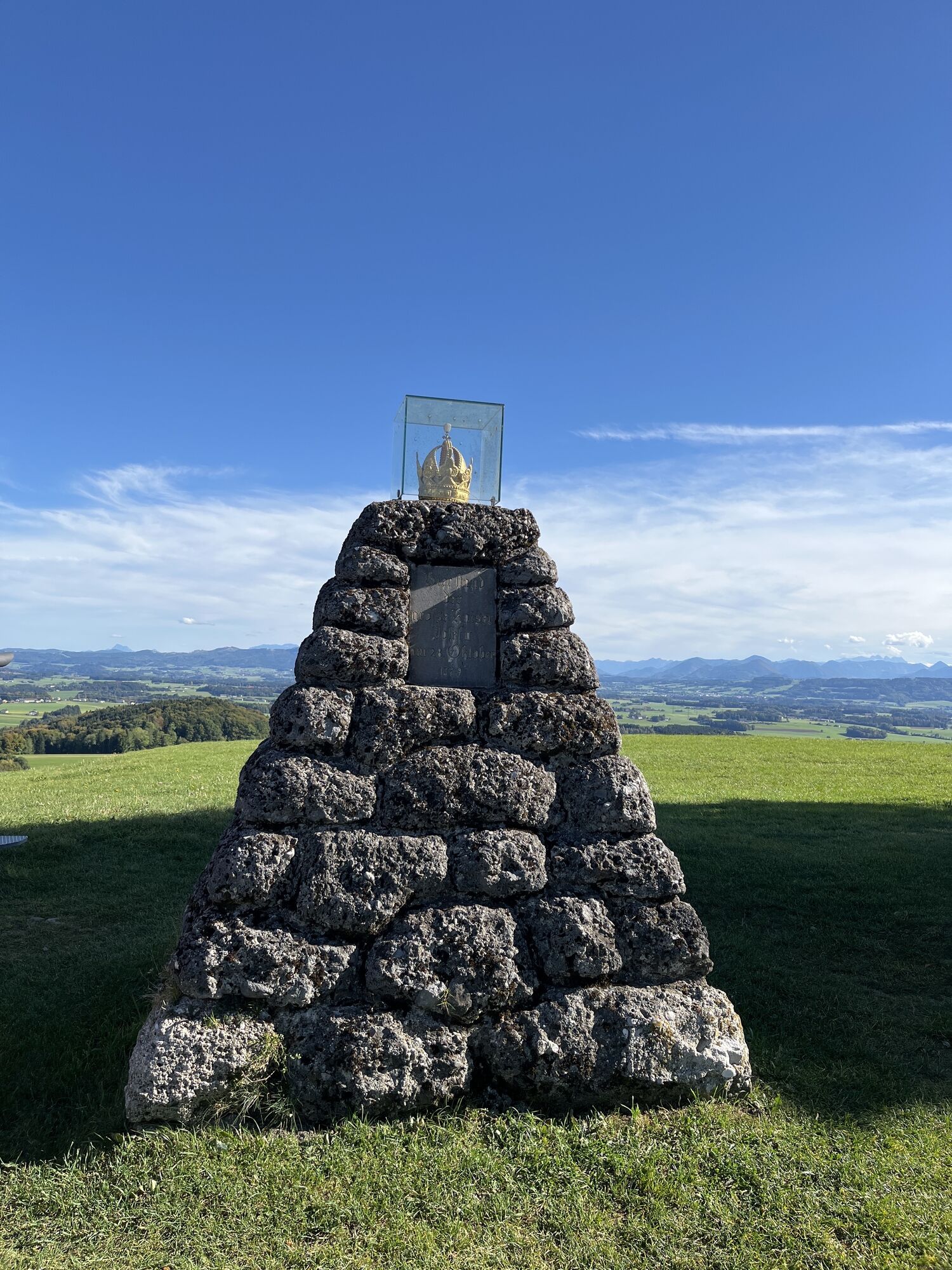
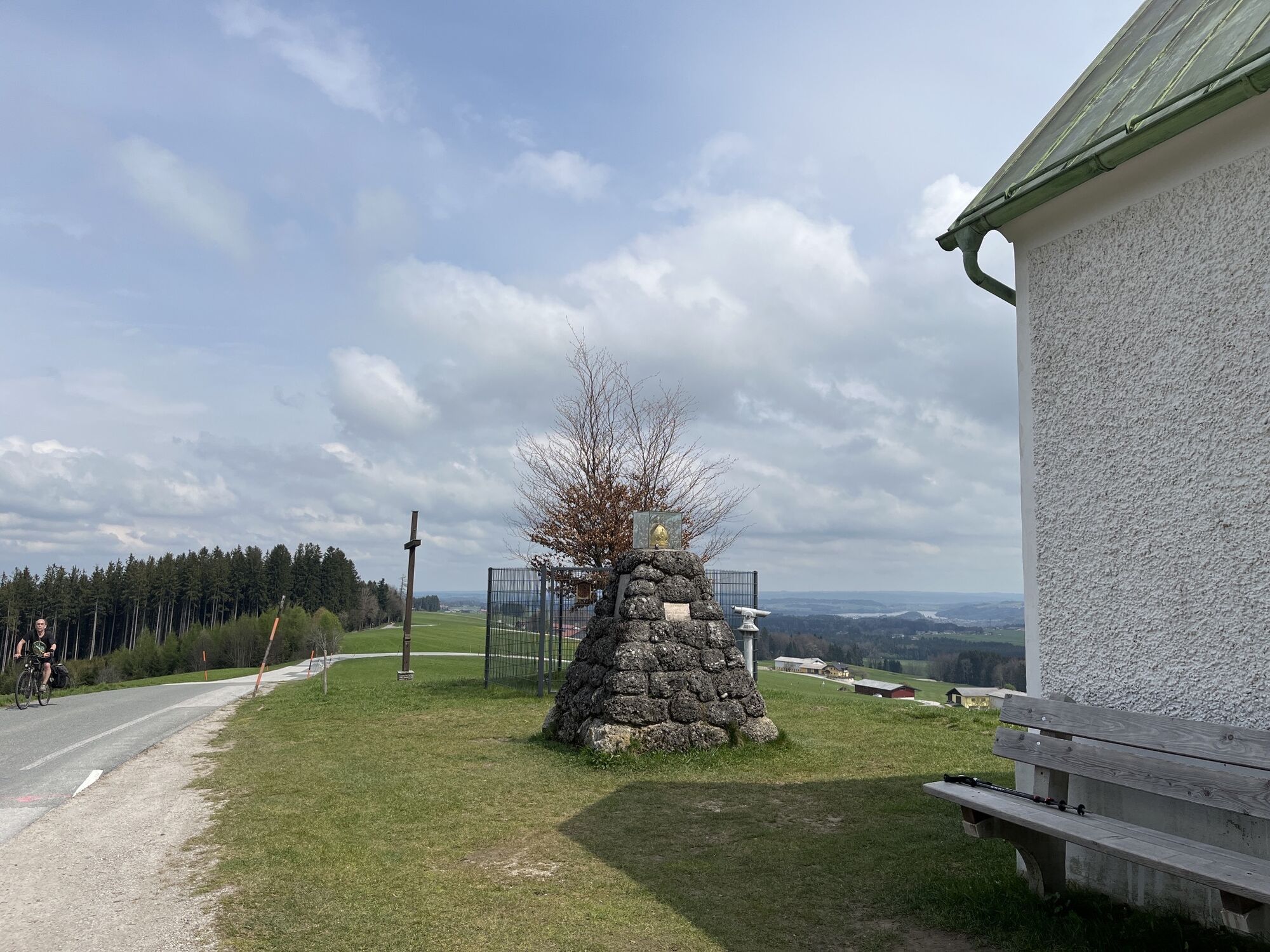
Long pilgrimages are trending. However, before you embark on the Camino to Santiago de Compostela, over 2,000 kilometers away, smaller trial routes are recommended for practice and getting used to it. The 12-kilometer stage between Oberndorf and Obertrum is a good test route, alternating between forest, woodland, and meadow paths, but also following little-trafficked roads. The route consists of the St. Rupert and Via Nova pilgrimage trails and requires careful attention. But searching is an important part of pilgrim walking. The extensive train and bus network is especially helpful since, of course, the endpoint is far away. Along the way, there are many ups and downs, as well as atmospheric sacred and gastronomic stops. The highest point between Oberndorf and Obertrum is the Haunsberg (835 m), at the foot of which the wonderful St. Pankraz church and the inn Schlössl invite you to visit. On the ridge, hikers can enjoy a magnificent view, which Emperor Joseph II. already praised during his unofficial visit in 1779. The emperor beech, newly planted after a storm event in 2004, commemorates this. Shortly before Obertrum, the endpoint of the short pilgrimage route, three important pilgrimage trails meet: the Camino, the Via Nova, and the St. Rupert trail. Those who have now caught the taste can continue pilgrim walking.
Direct travel and details at: salzburg-erfahren.at

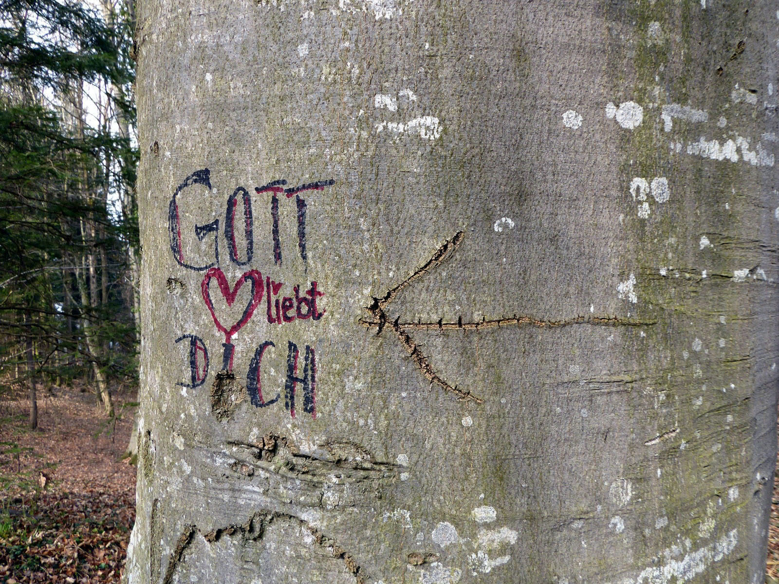
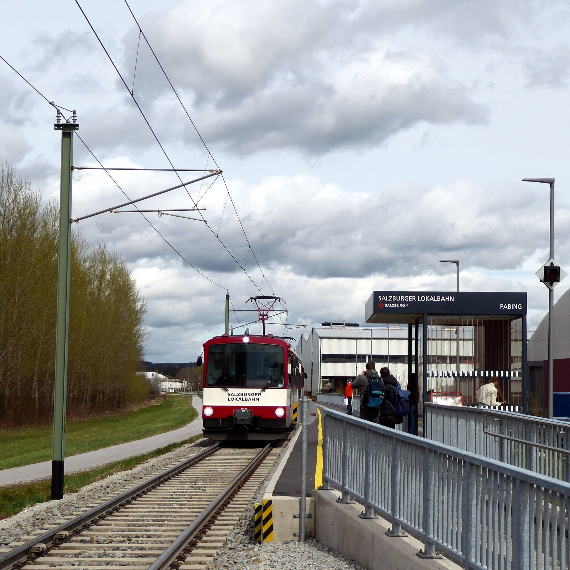
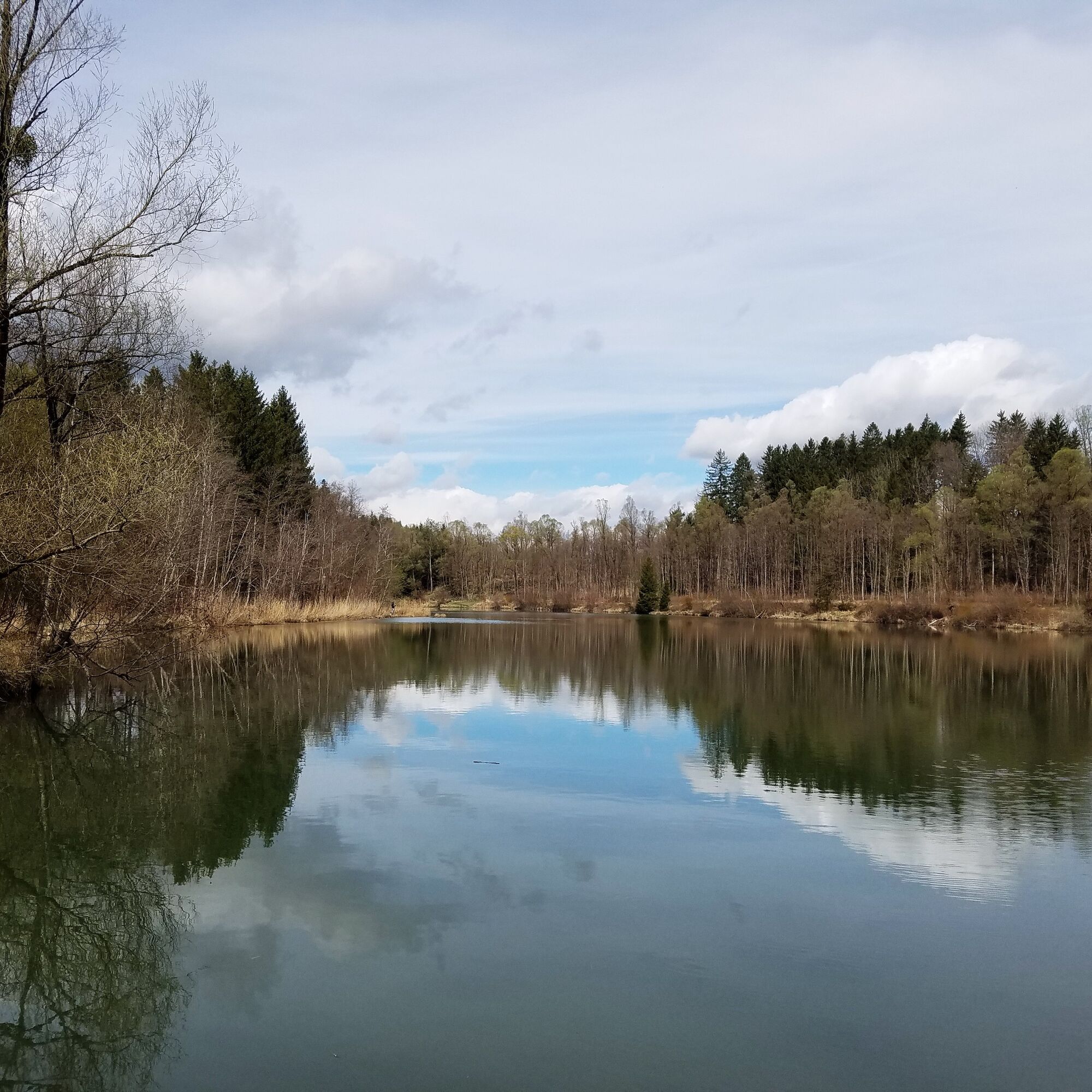
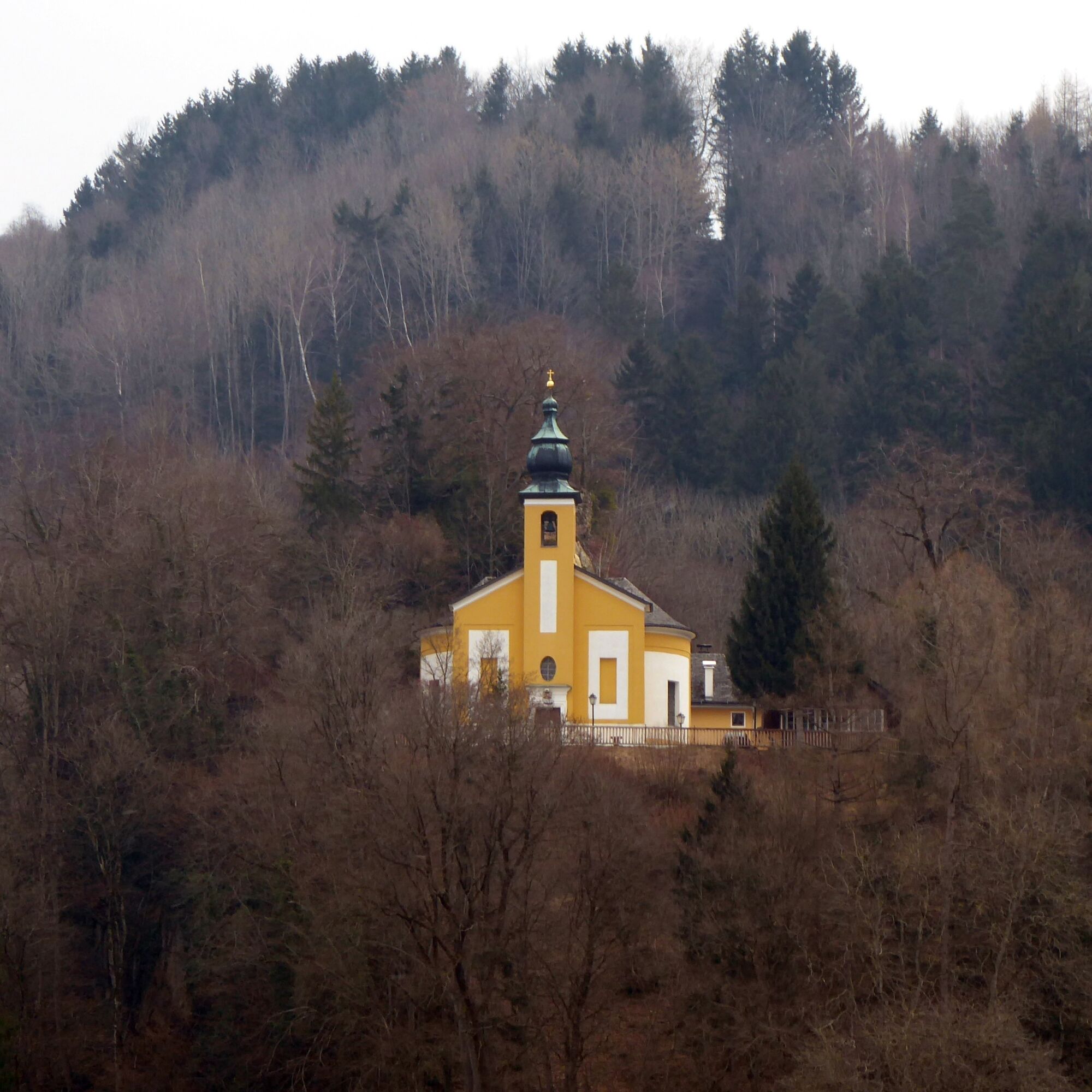
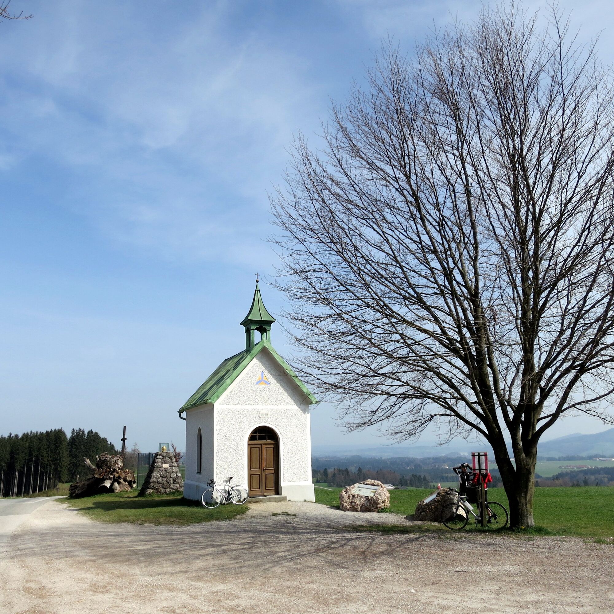
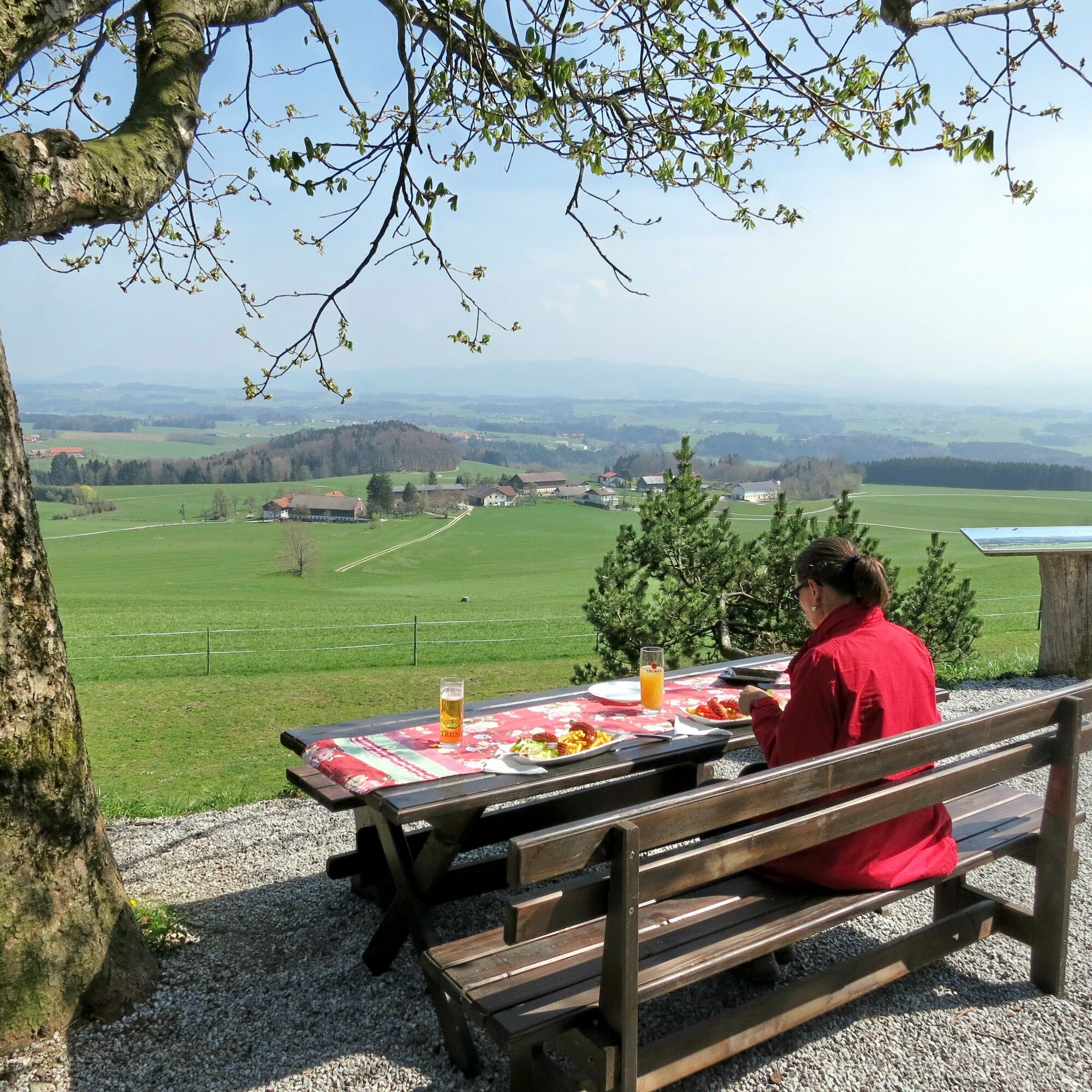
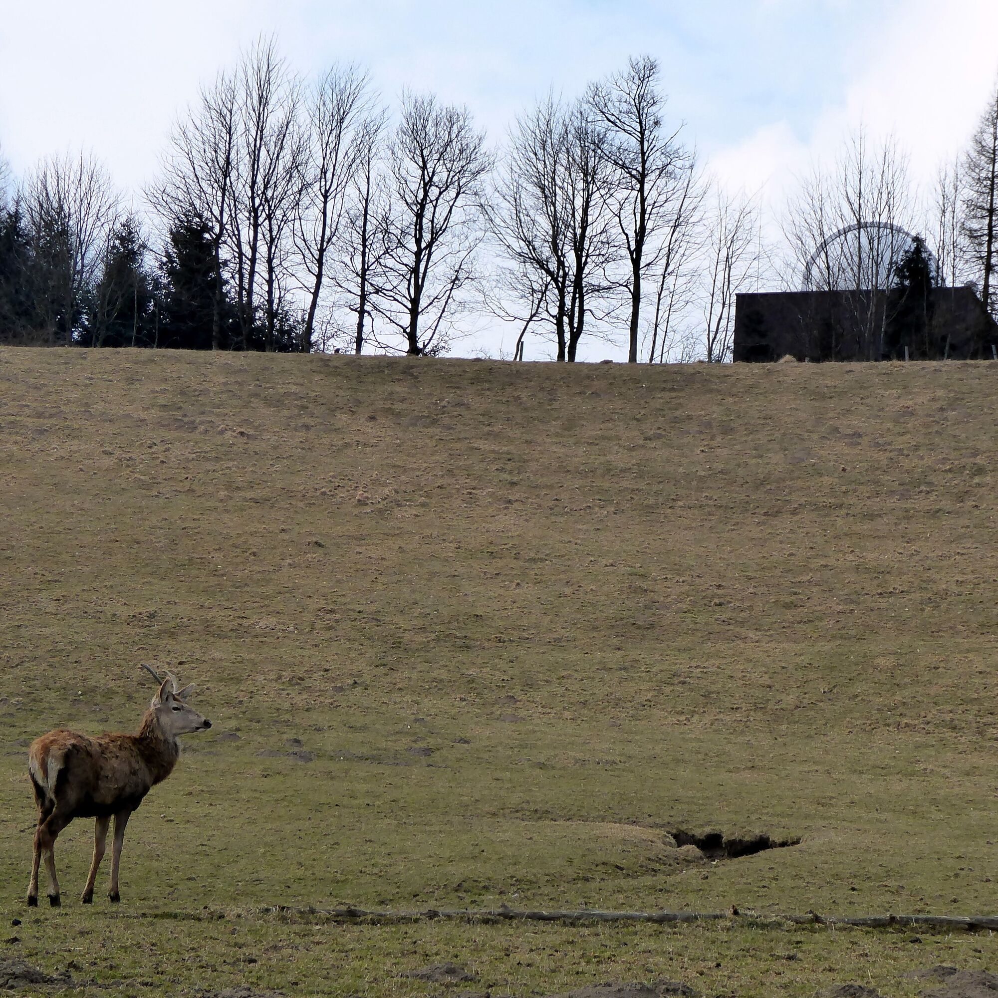
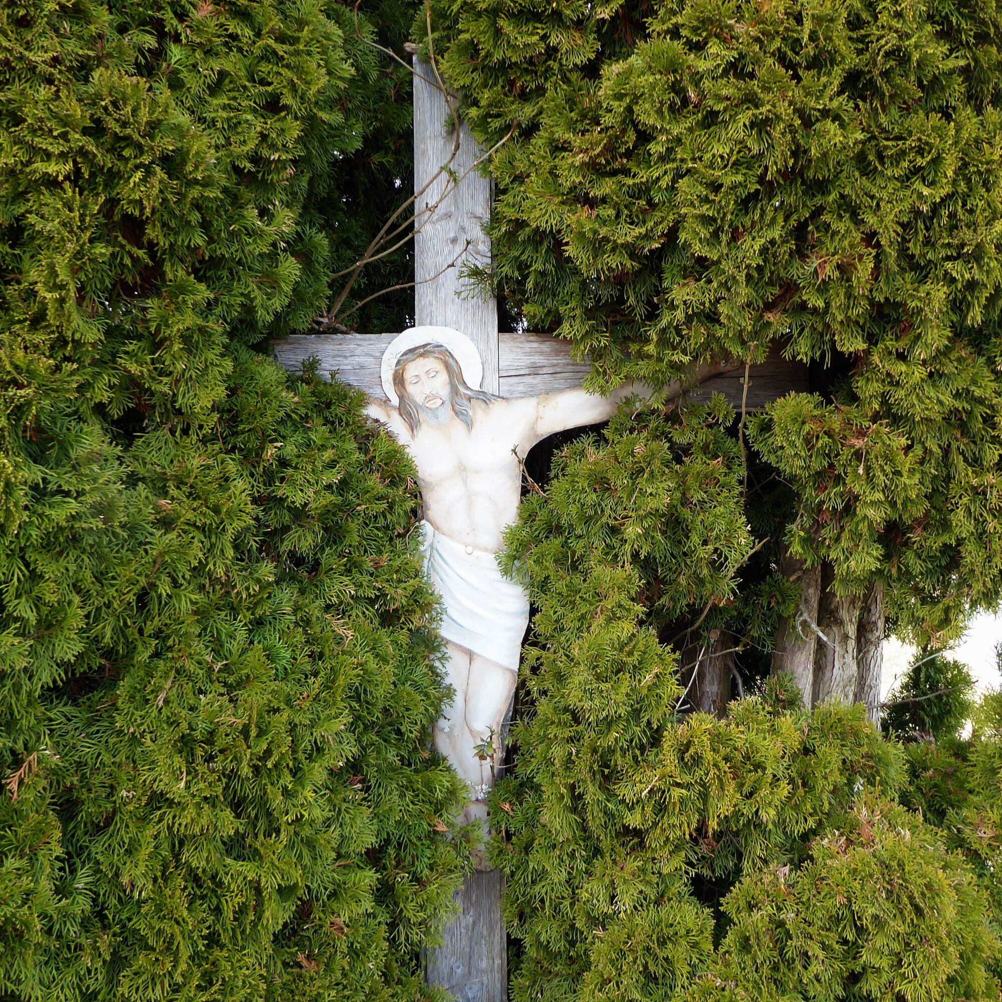
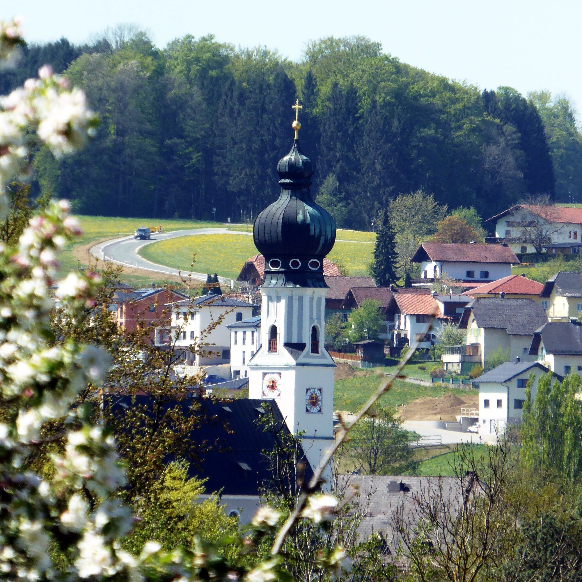
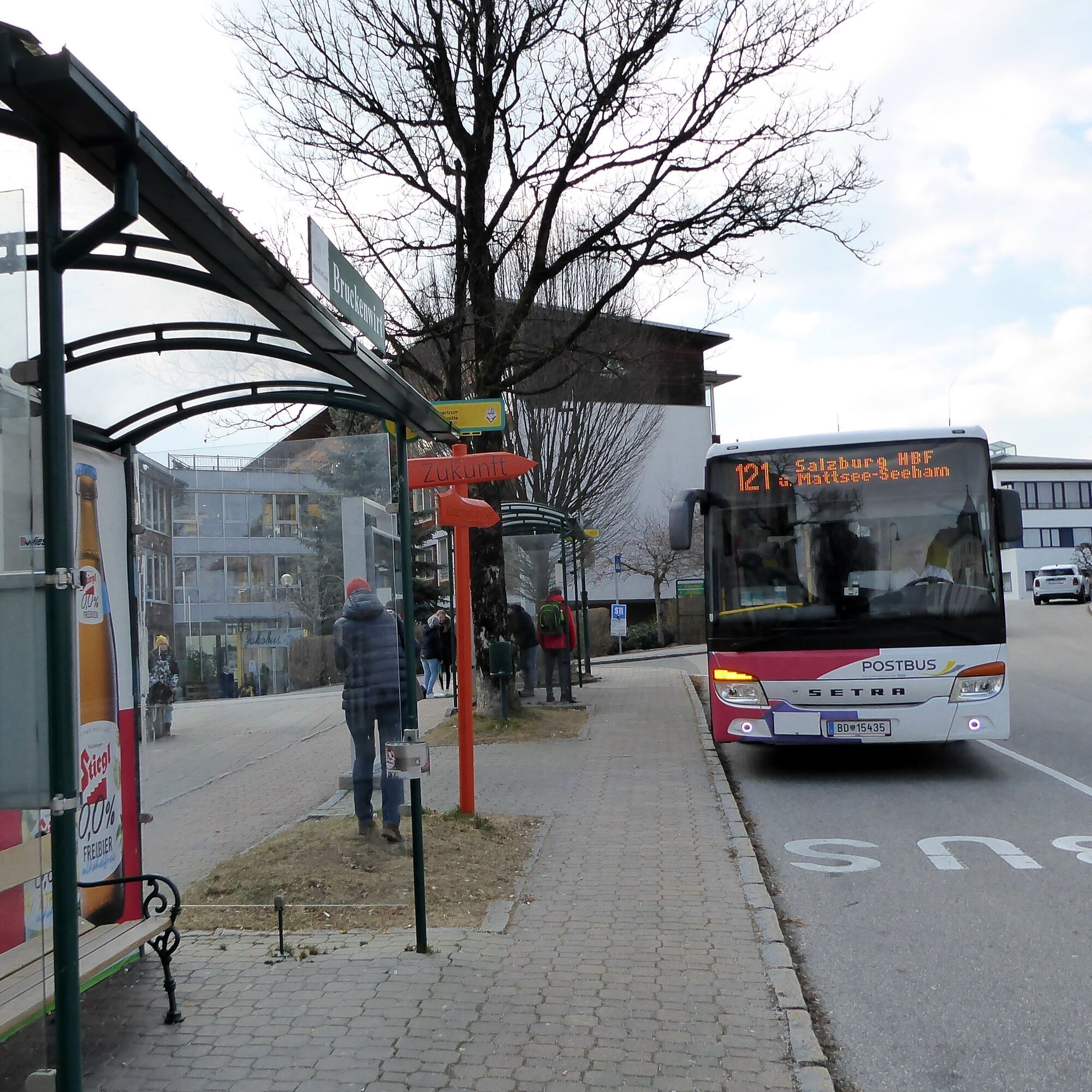

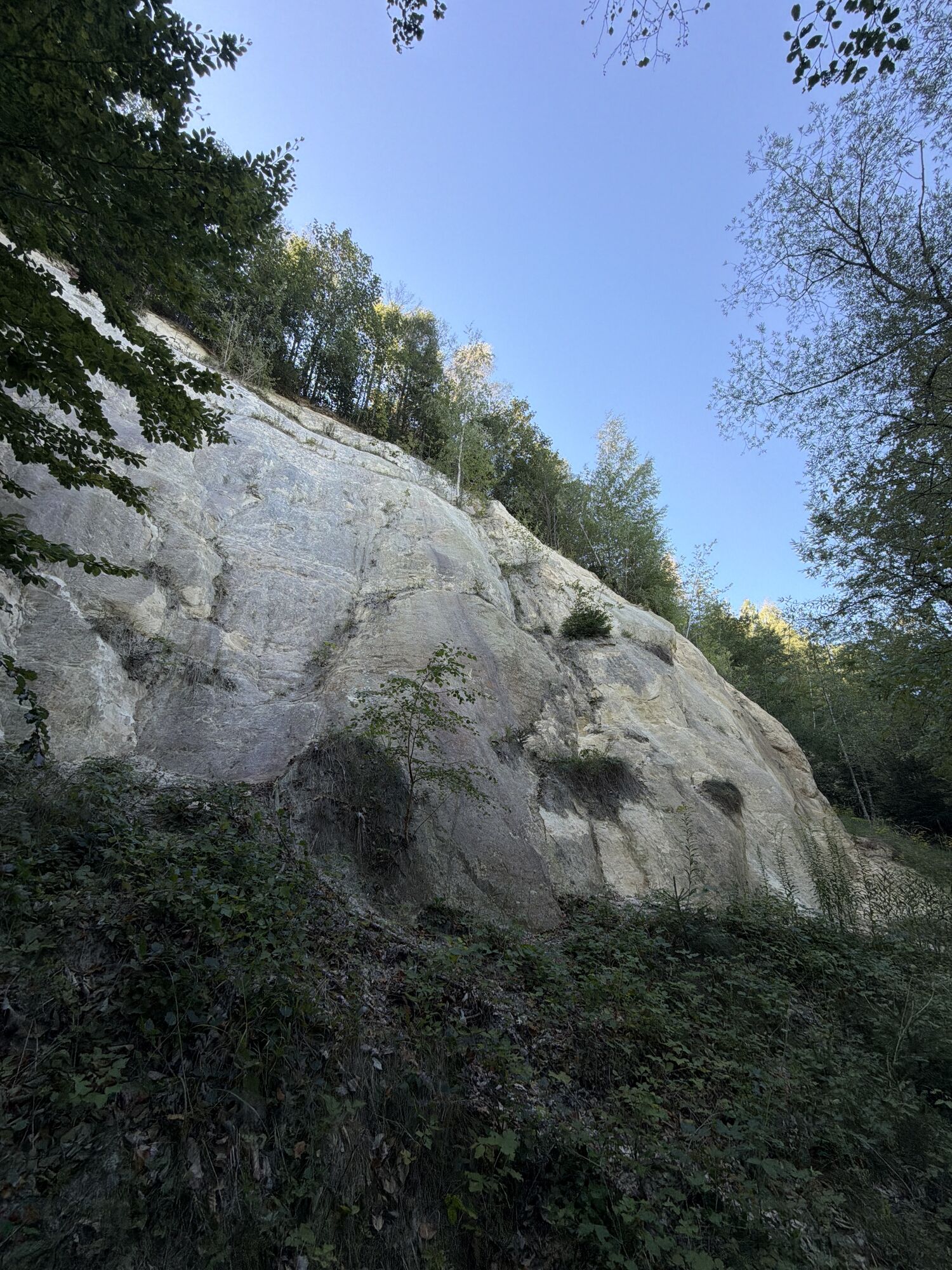
The starting point is the local train stop Oichtensiedlung just before Oberndorf. From there, cross the Oichtenbach bridge and then turn left onto a separate pedestrian and bike path running along the town access road for 800 meters to the federal road B 156. Pass through the underpass and continue towards "Hürdenteich." At the next fork, the route stays on the middle, straight forest path and soon reaches a peaceful clearing. There a forest trail veers half left to the houses of Schröck and then directly to the unmistakable St. Pankraz church. The state road is crossed, and 100 meters later the footpath to the St. Pankraz ensemble branches off to the left. The further path follows the geo-trail starting at the parking lot for 600 meters to the information board "The Quarry." There, an inconspicuous trail branches off to the right, passing fossil collection digging sites to the connecting road to the emperor beech. This route can also be taken along the road without St. Pankraz and quarry. After a curve, the path to the "Emperor Beech" branches right. Passing the memorial site and the inn Kaiserbuche, the Via Nova pilgrimage route runs over the Sulzberg settlement to a fork. At the chapel, turn briefly right, then immediately left again, and now always follow the Via Nova signage along the Waldwissensweg through the Spielberggraben to Obertrum to the town center stop (opposite Brückenwirt).
Tak
From Salzburg main station by local train S11 to the Oichtensiedlung stop. Return from Obertrum town center by bus 120 to Salzburg main station (Südtiroler Platz).
Timetable information and download: Online at www.salzburg-verkehr.at or on your smartphone via the free Salzburg Verkehr app for Android and iOS.
Direct travel and details at: salzburg-erfahren.at
www.salzburger-seenland.at, www.pilgerwege.at
Mag. Christian Heugl
5400 Hallein
cheugl@a1.net
Image credit: Christian Heugl
Family outing on the Waldwissensweg in Obertrum (21 stations, 1 playground, 2 km length). Entry at Römerweg (Museum Einlegerhaus). Accessible from Obertrum town center stop, gently ascending along the stream.
 Uzyskaj wgląd
Zawsze na żywo z ponad 9 500 kamer internetowych. bergfex Jako użytkownik Pro, możesz teraz zobaczyć odpowiednie kamery internetowe dla wielu wycieczek w aplikacji wycieczki od. Pozwala to na bezpośredni podgląd aktualnych warunków.
Uzyskaj wgląd
Zawsze na żywo z ponad 9 500 kamer internetowych. bergfex Jako użytkownik Pro, możesz teraz zobaczyć odpowiednie kamery internetowe dla wielu wycieczek w aplikacji wycieczki od. Pozwala to na bezpośredni podgląd aktualnych warunków.
Popularne wycieczki w okolicy
-
4,3
Panoramic circular route Kaiserbuche
światłoWędrówka 4,93 km -
3,7
Moorlehrpfad - Schönramer Filz
Wędrówka 3,38 km -
3,3
Wallersee Rundweg
średniWędrówka 17,7 km -
4,4
Bergheim bei Salzburg - Voggenberg Runde
średniWędrówka 12,0 km -
4,0
Grabensee Runde - Fraham
światłoWędrówka 7,78 km -
3,6
Mattsee Umrundung
światłoWędrówka 17,6 km -
4,4
Nockstein
światłoWędrówka 3,35 km -
3,8
From Koppl over the Nockstein to the Gaisberg peak
średniWędrówka 10,7 km -
4,4
Nockstein Runde vom Riedlwirt
światłoWędrówka 6,03 km -
5,0
Rundweg um den Abtsee
Wędrówka 5,07 km
Wędrówki i tropienie


Nie przegap ofert i inspiracji na następne wakacje
Twój adres e-mail została dodana do listy mailingowej.





