


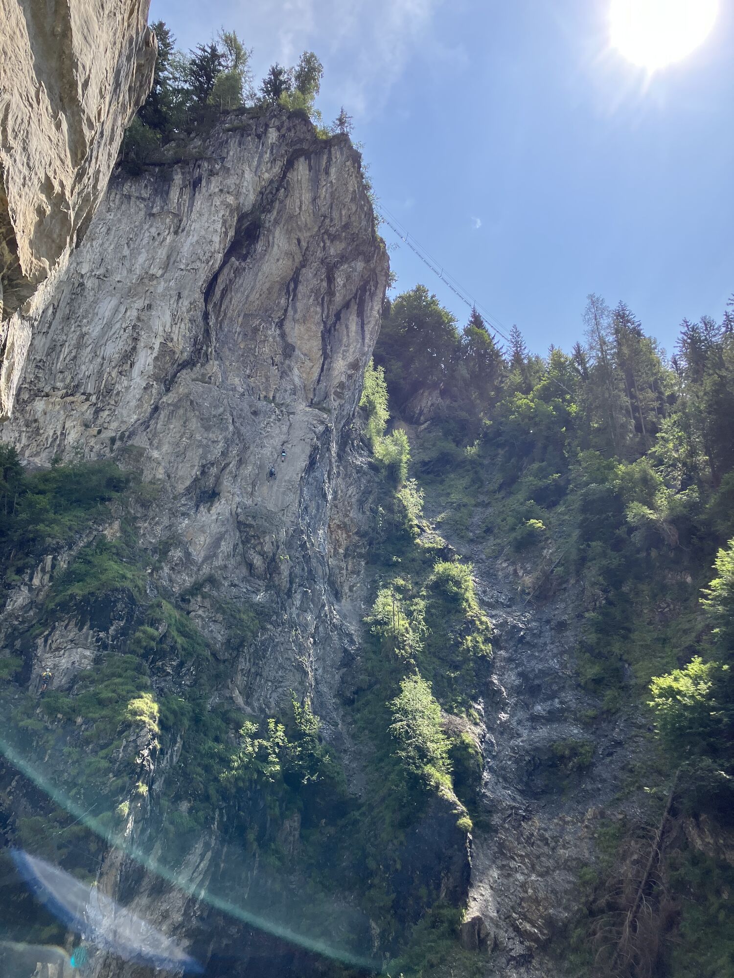
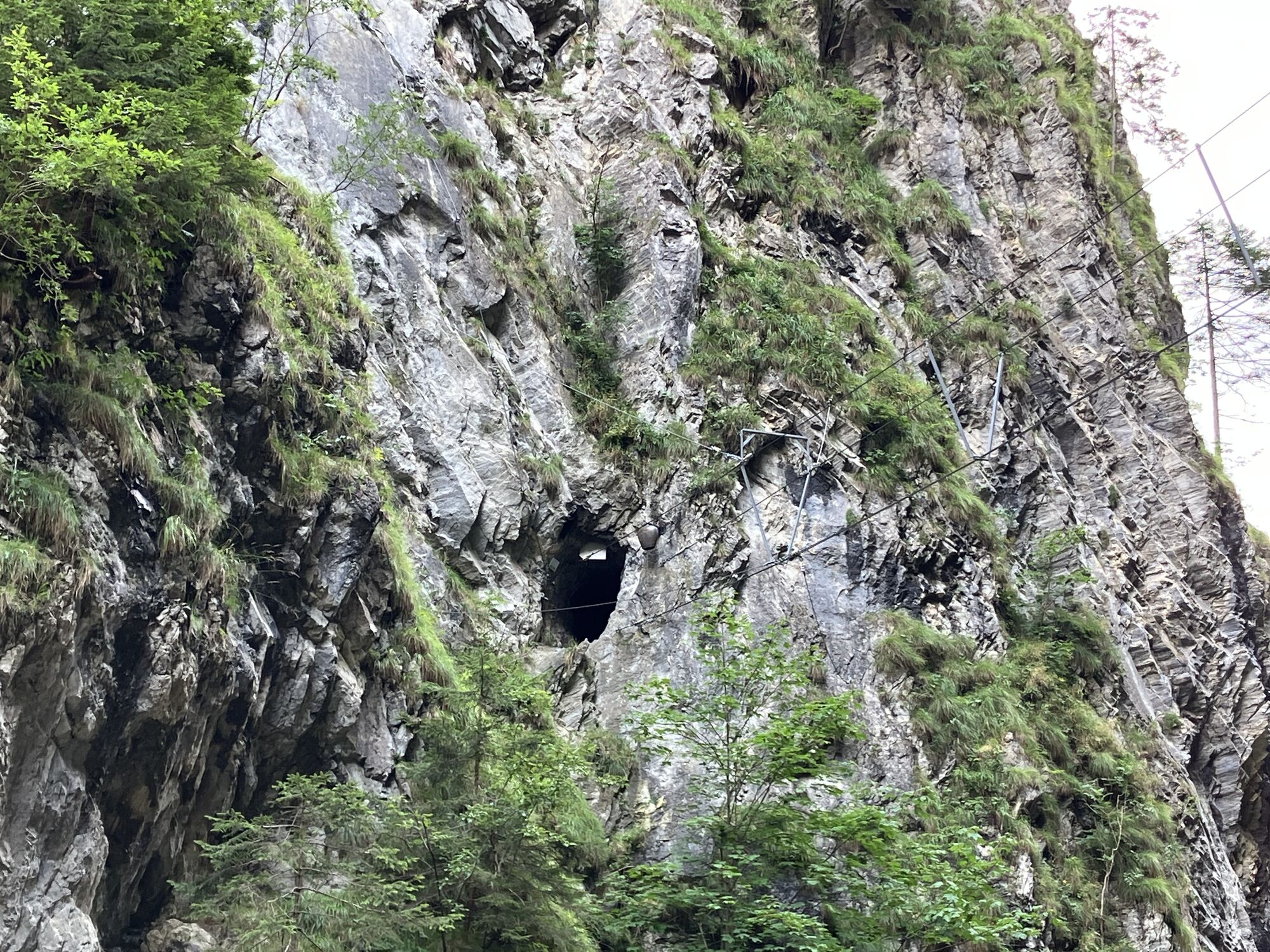
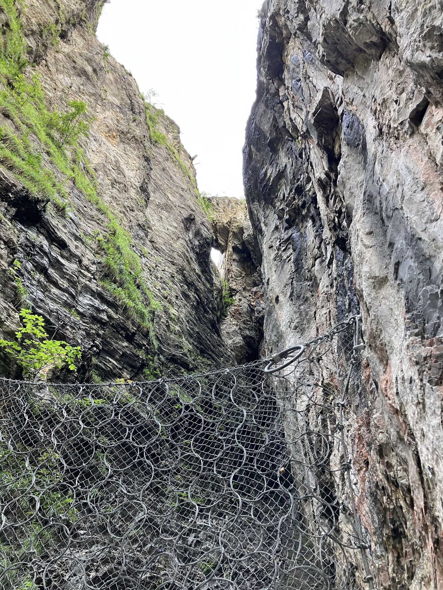
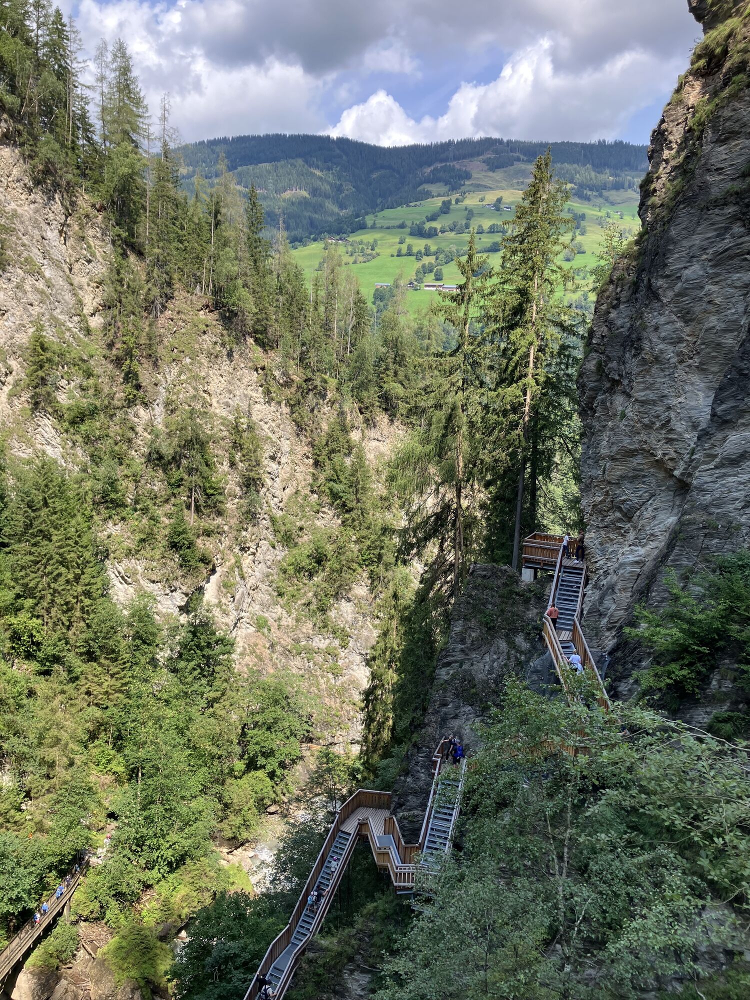
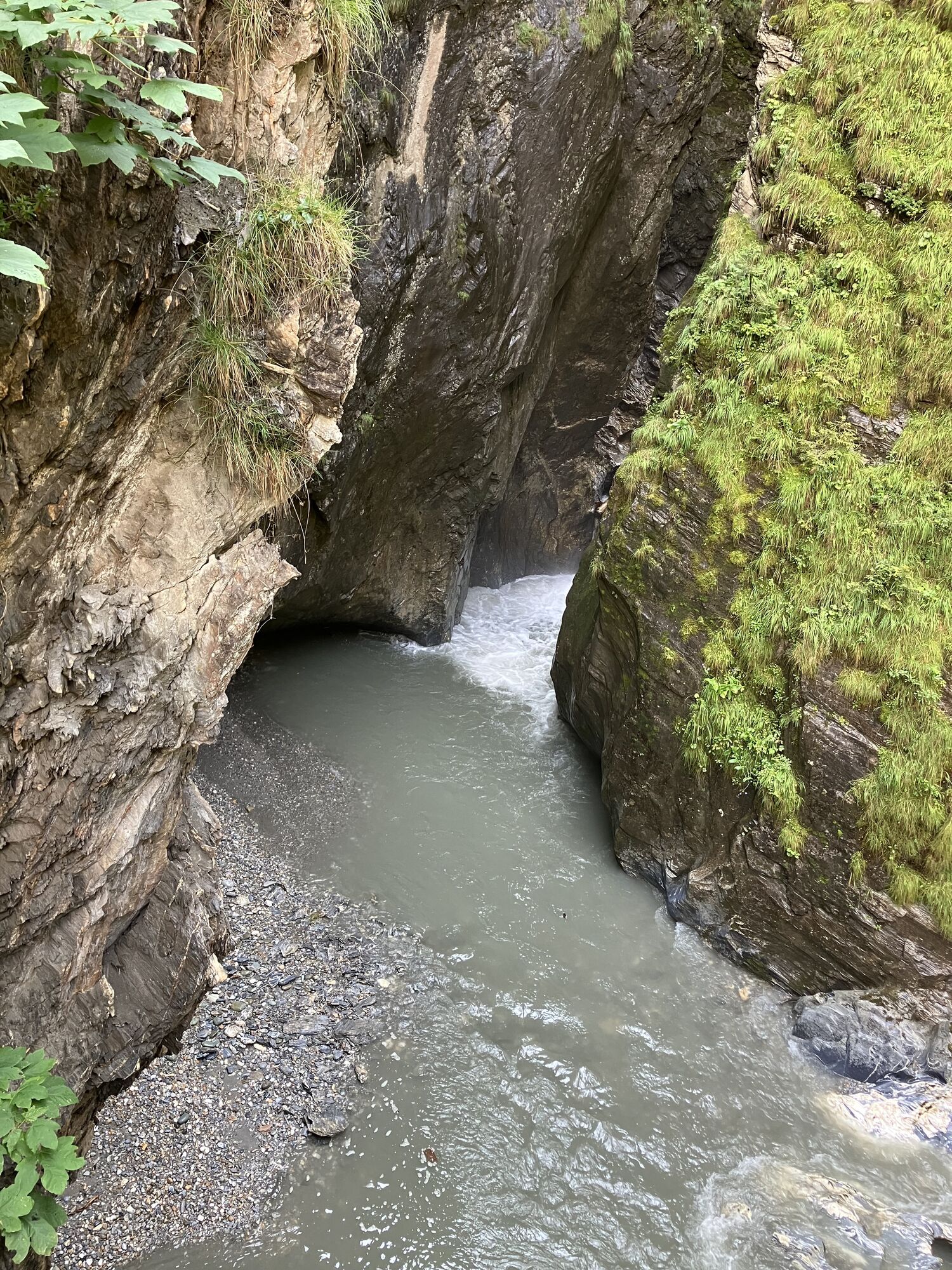
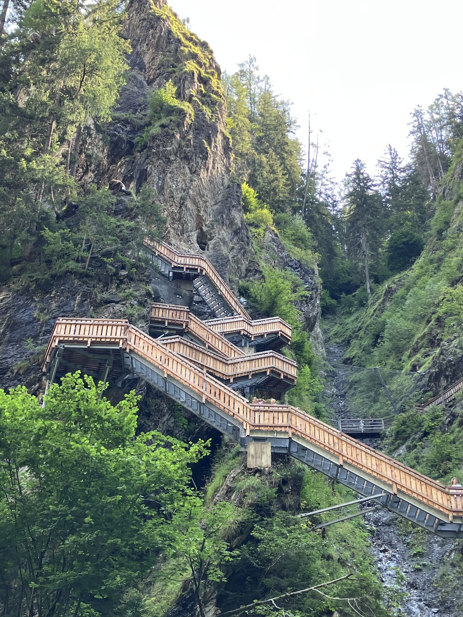
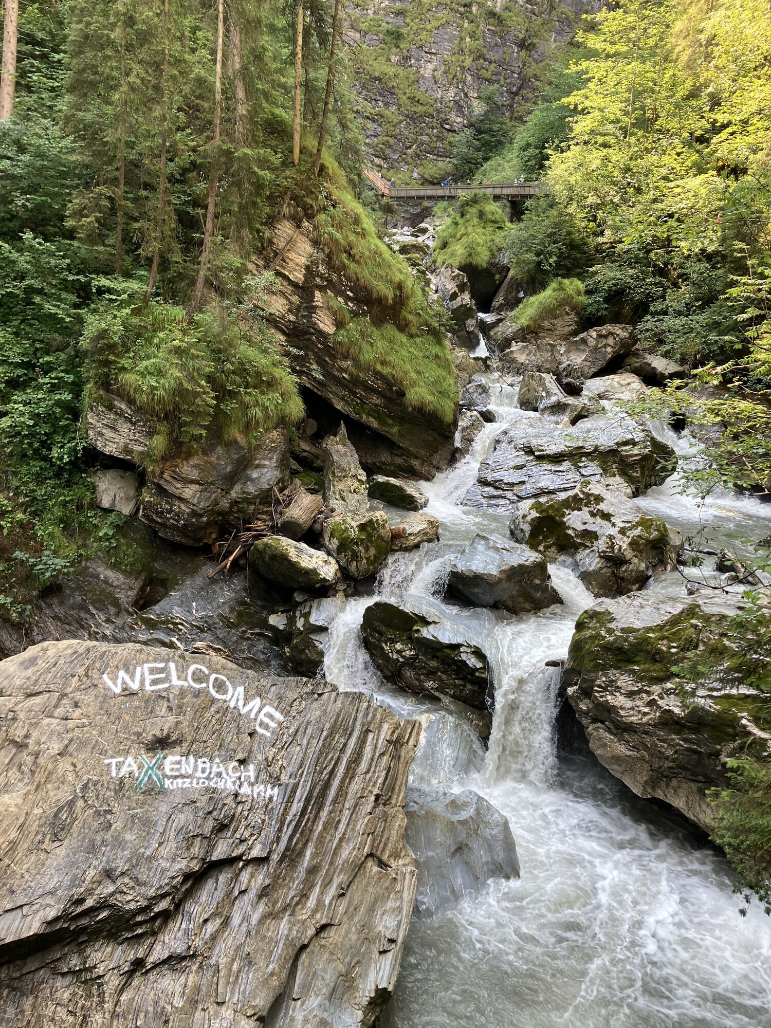
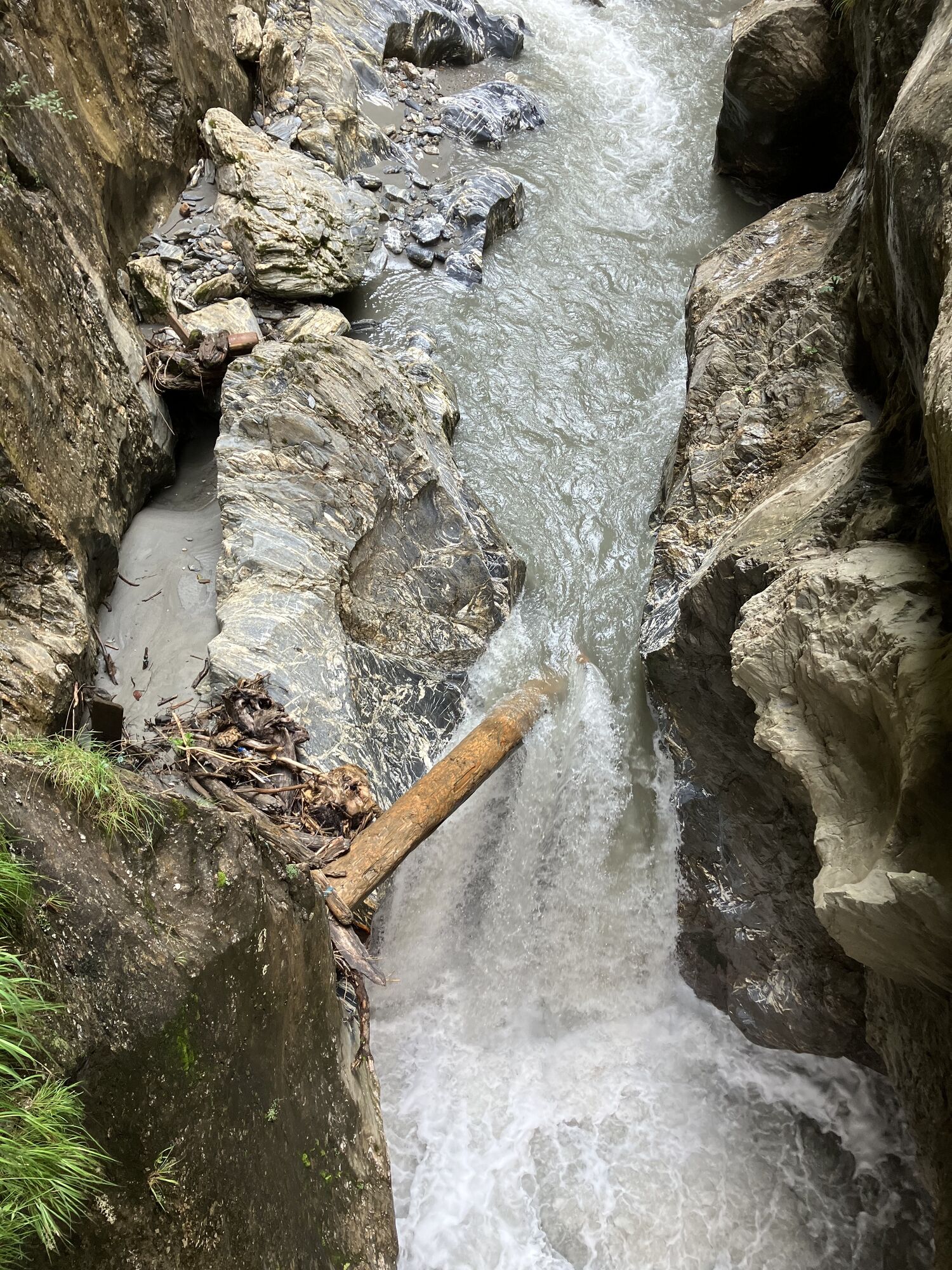
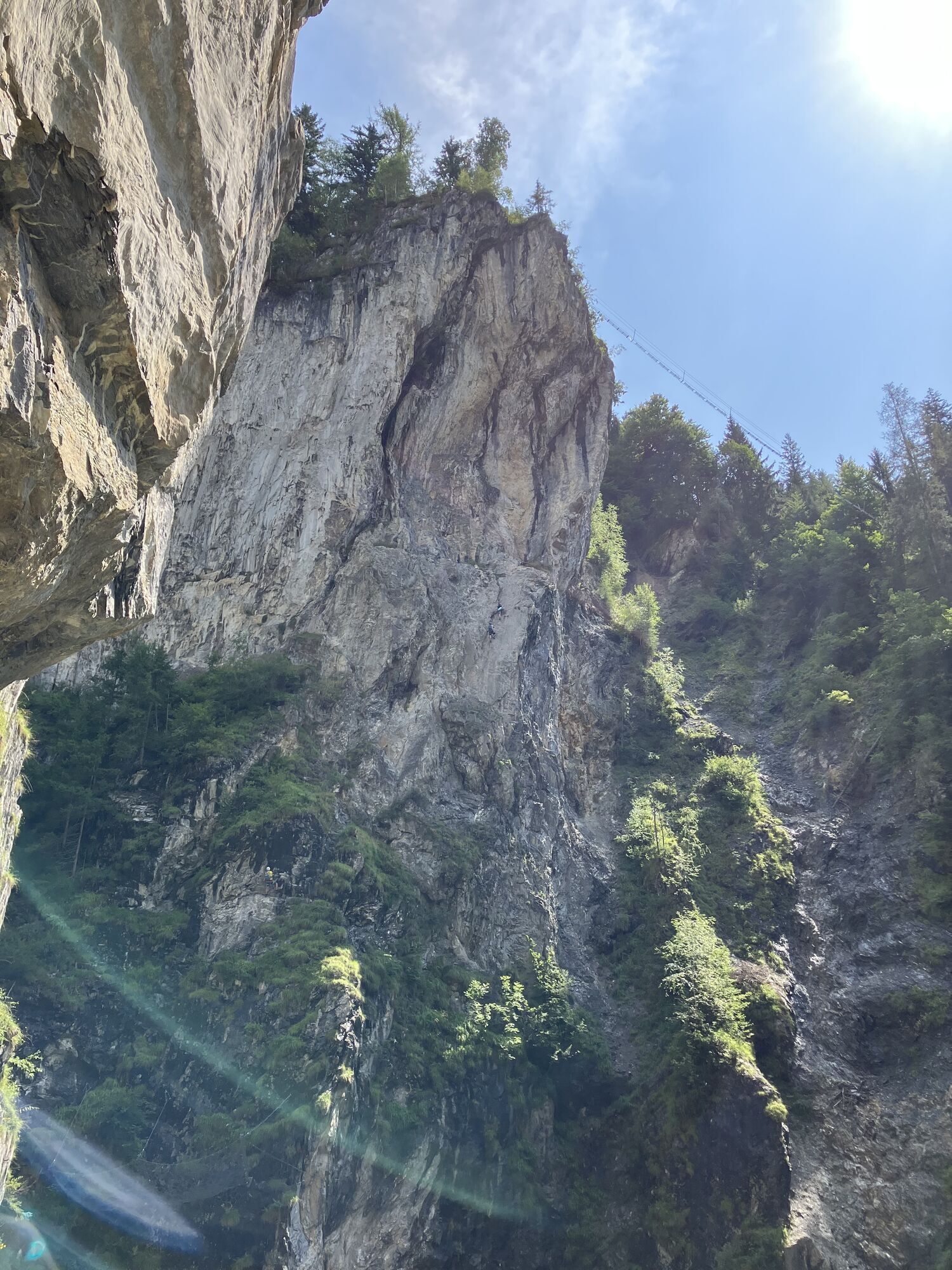
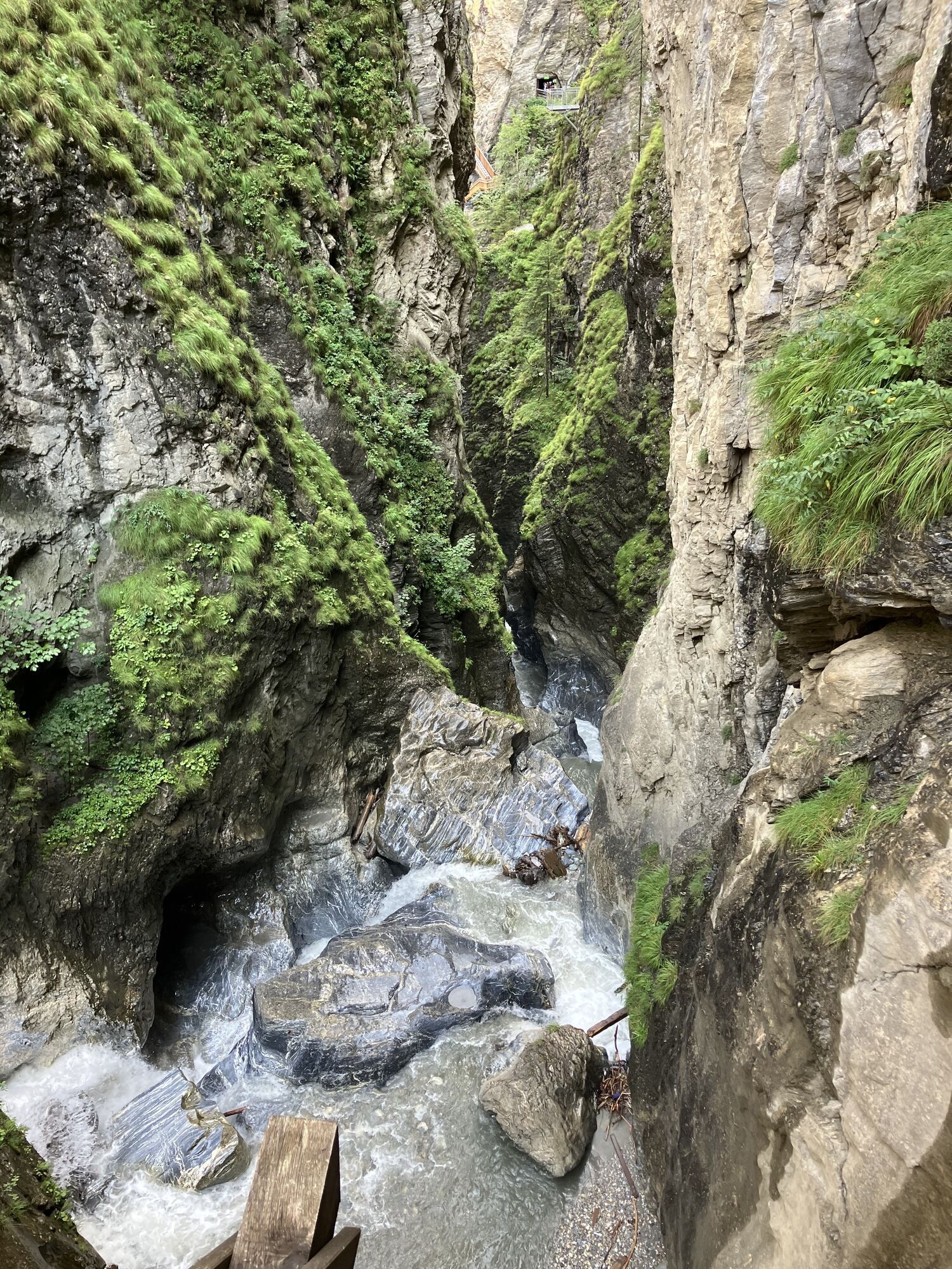
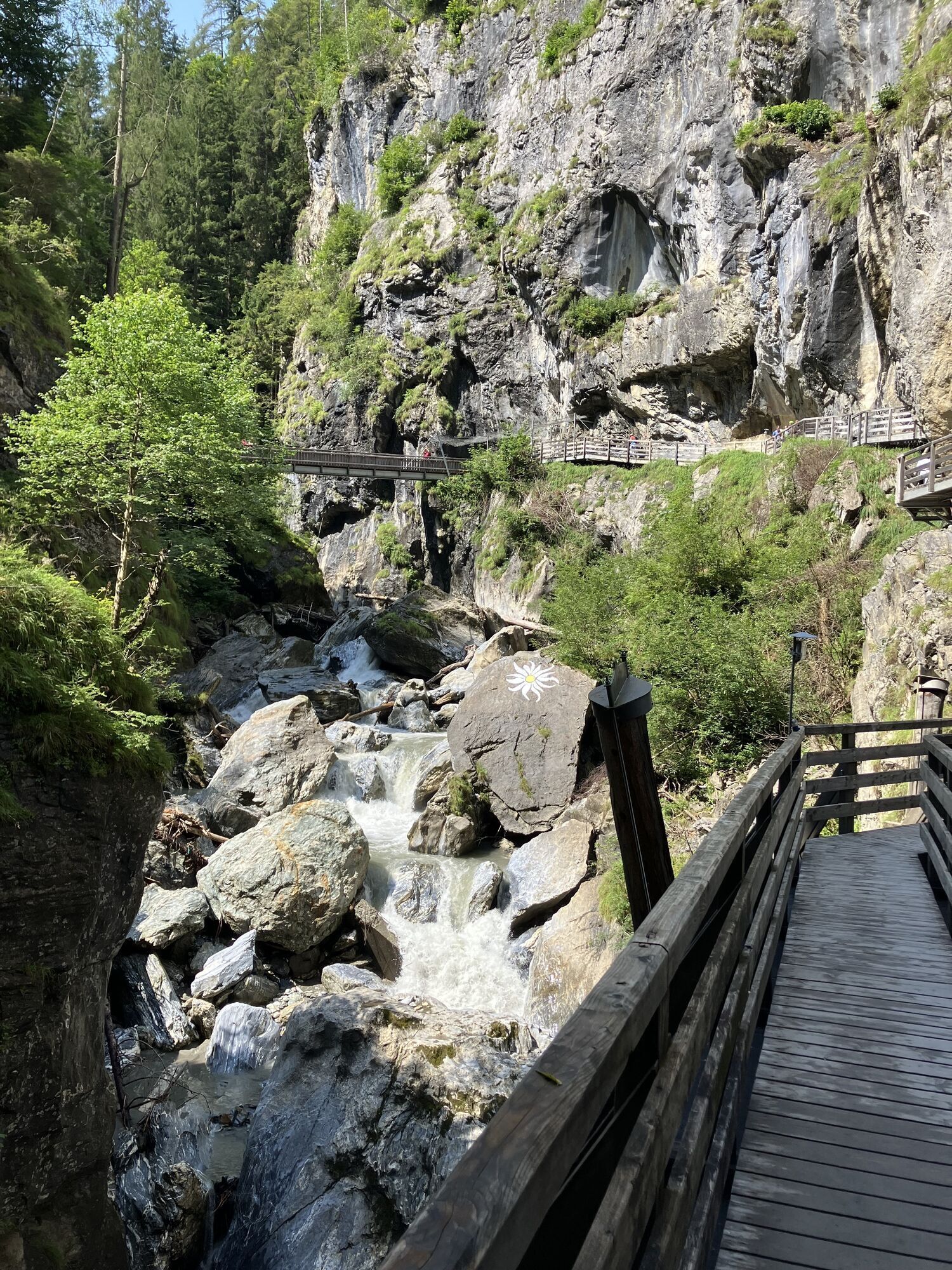
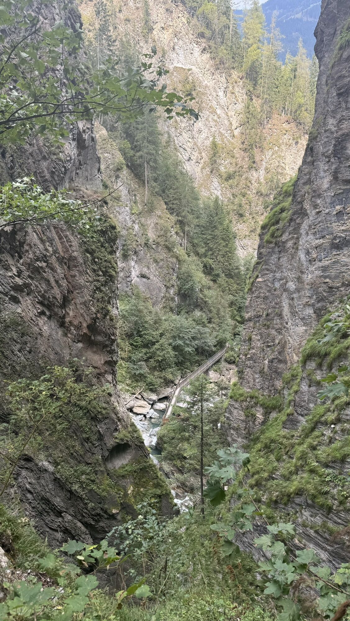
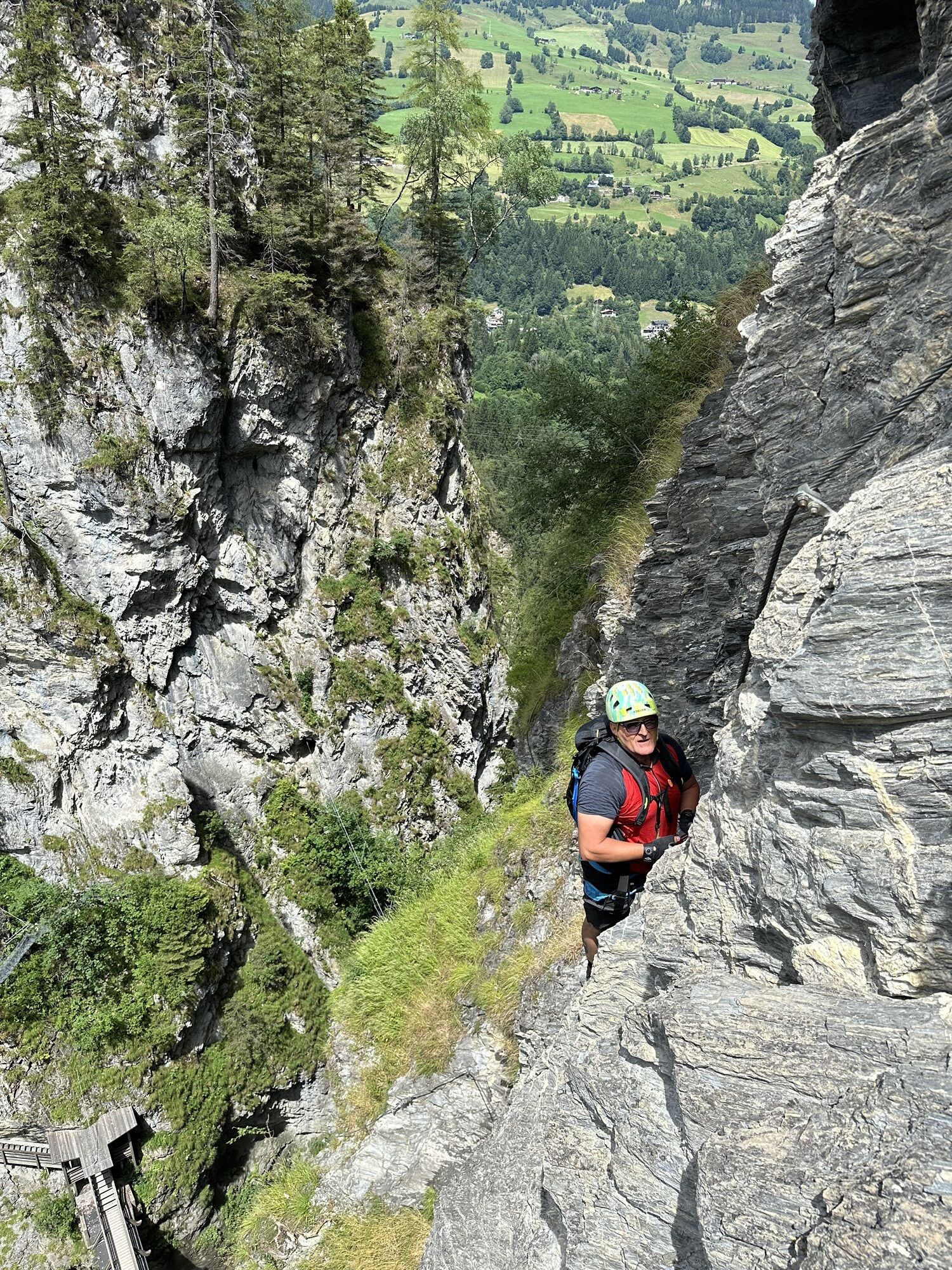
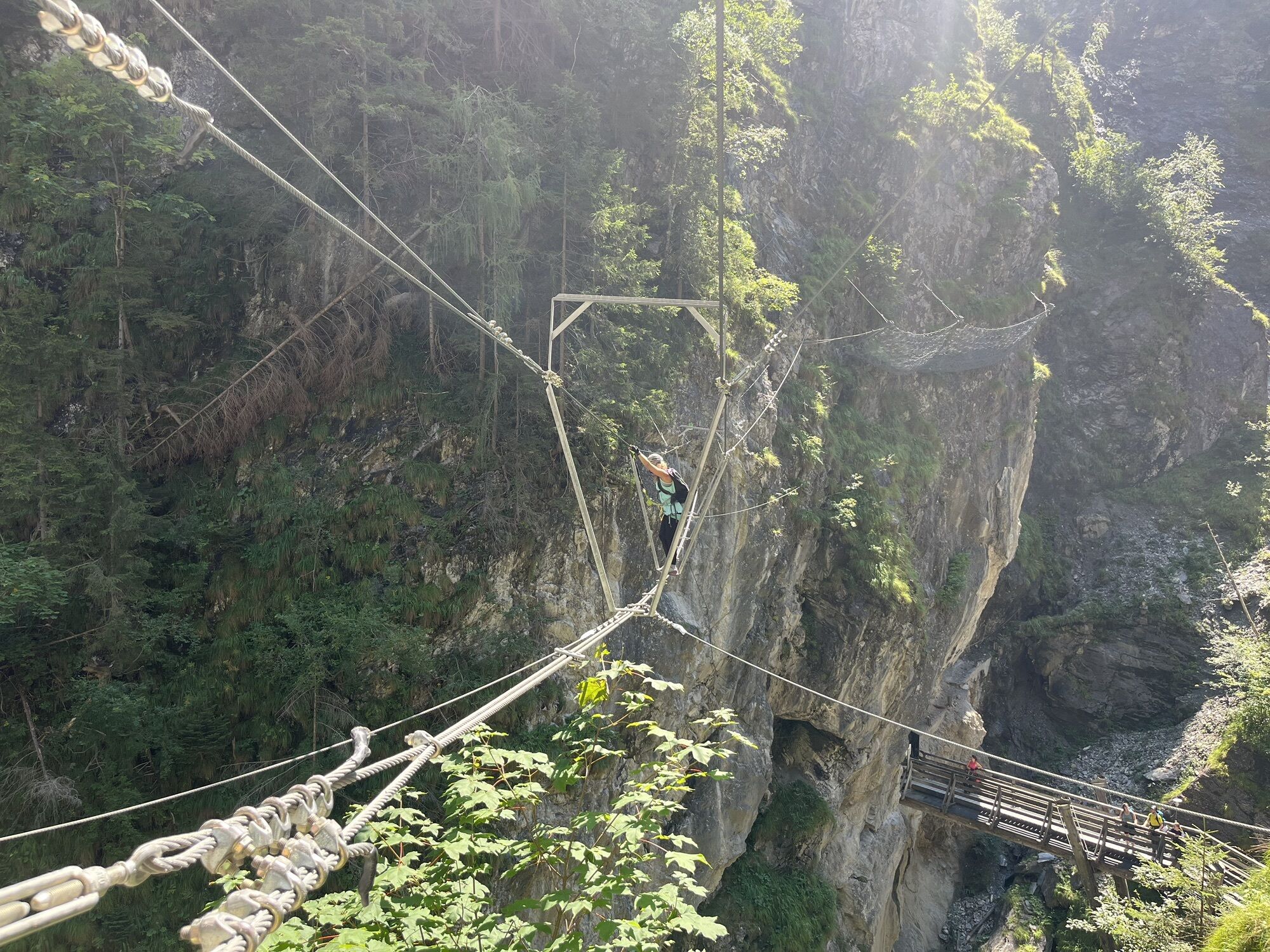
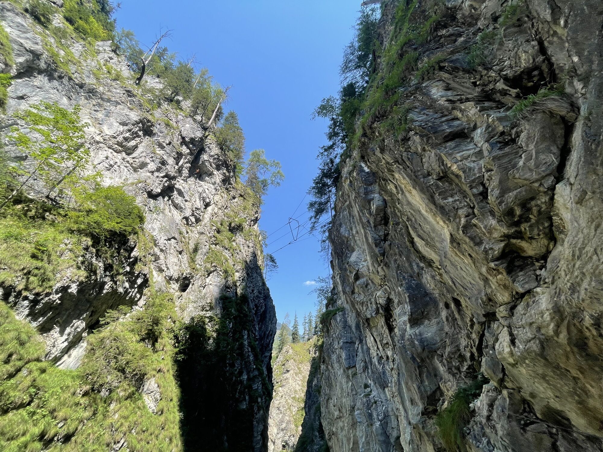
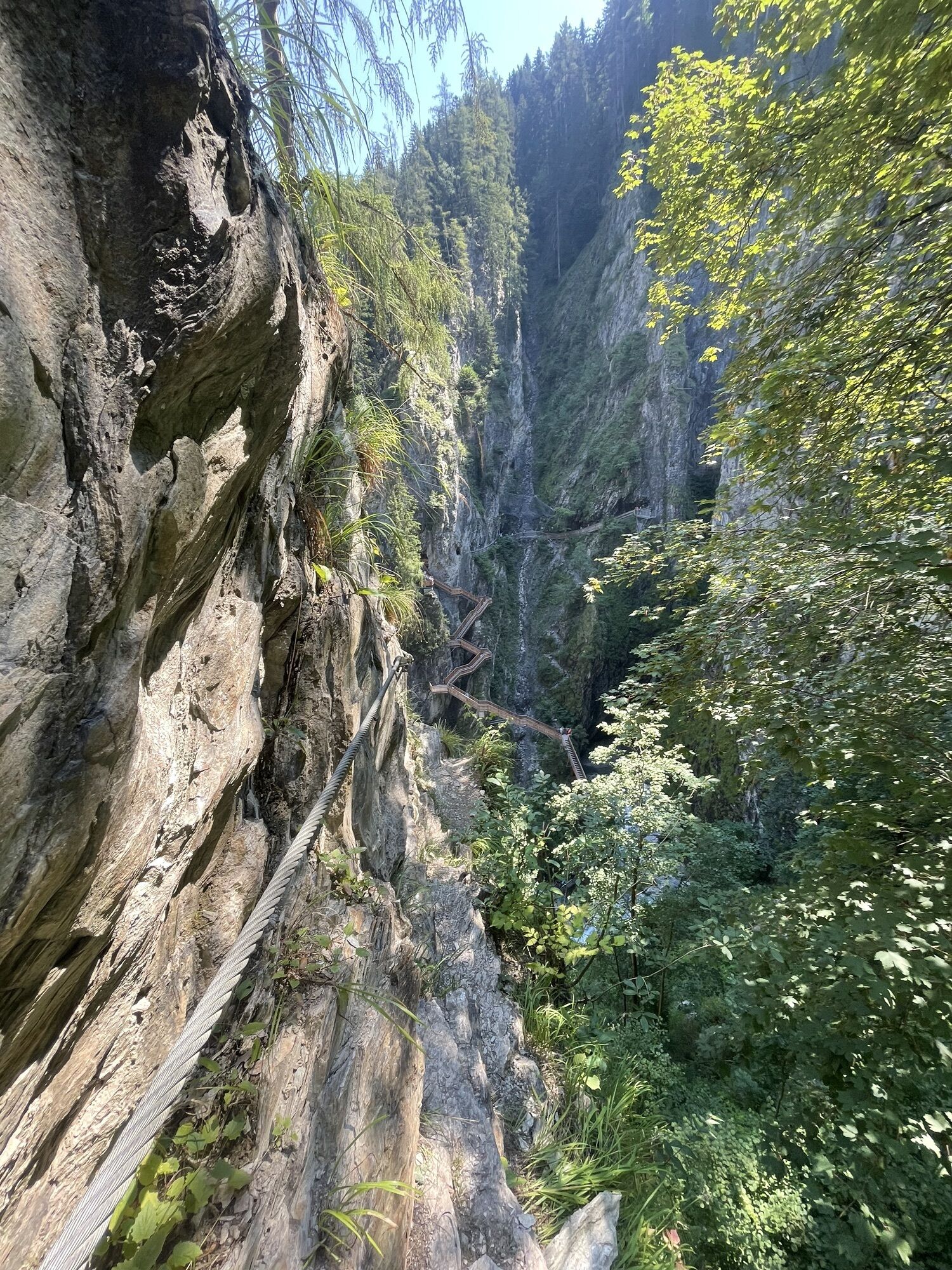
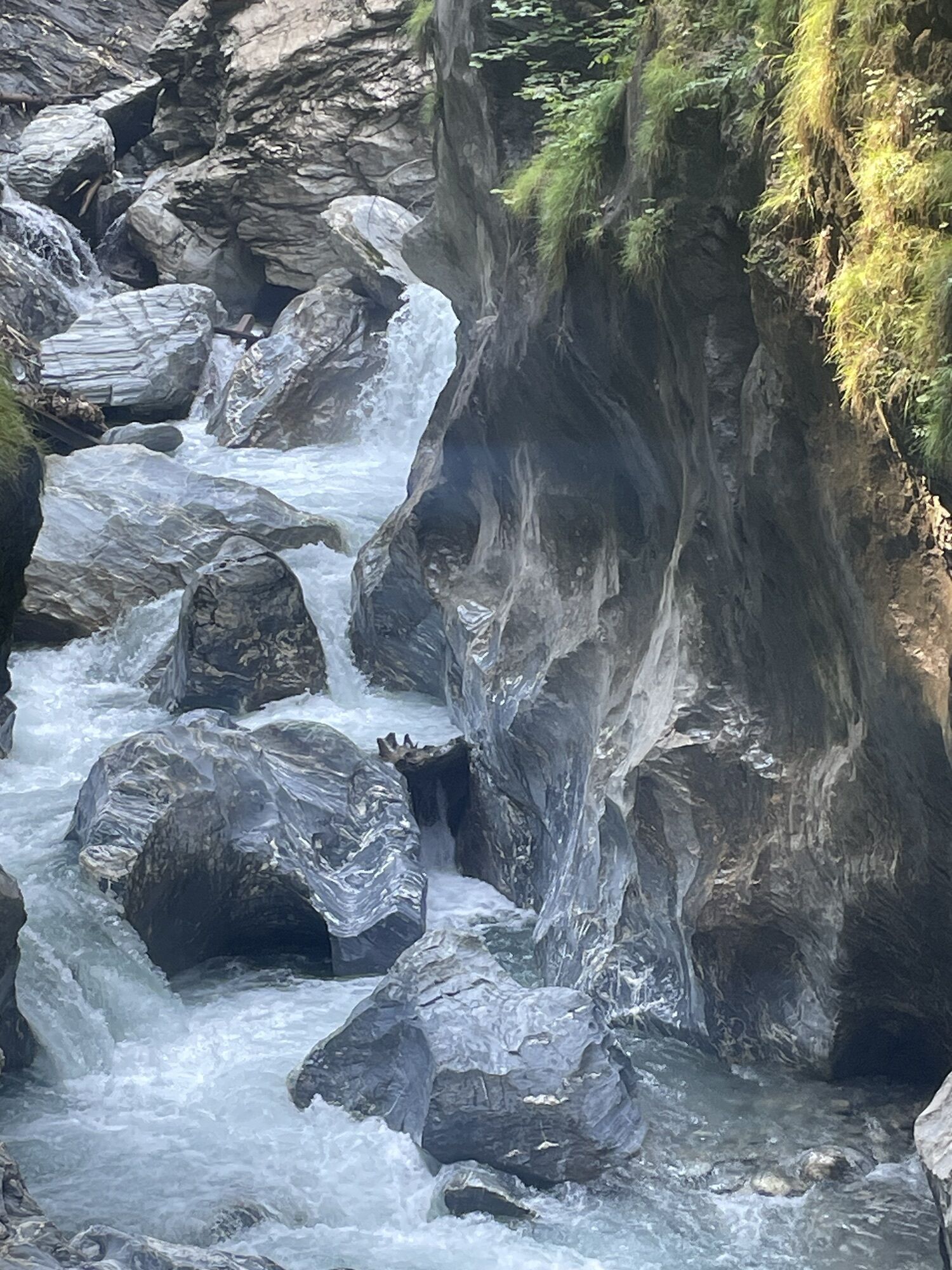
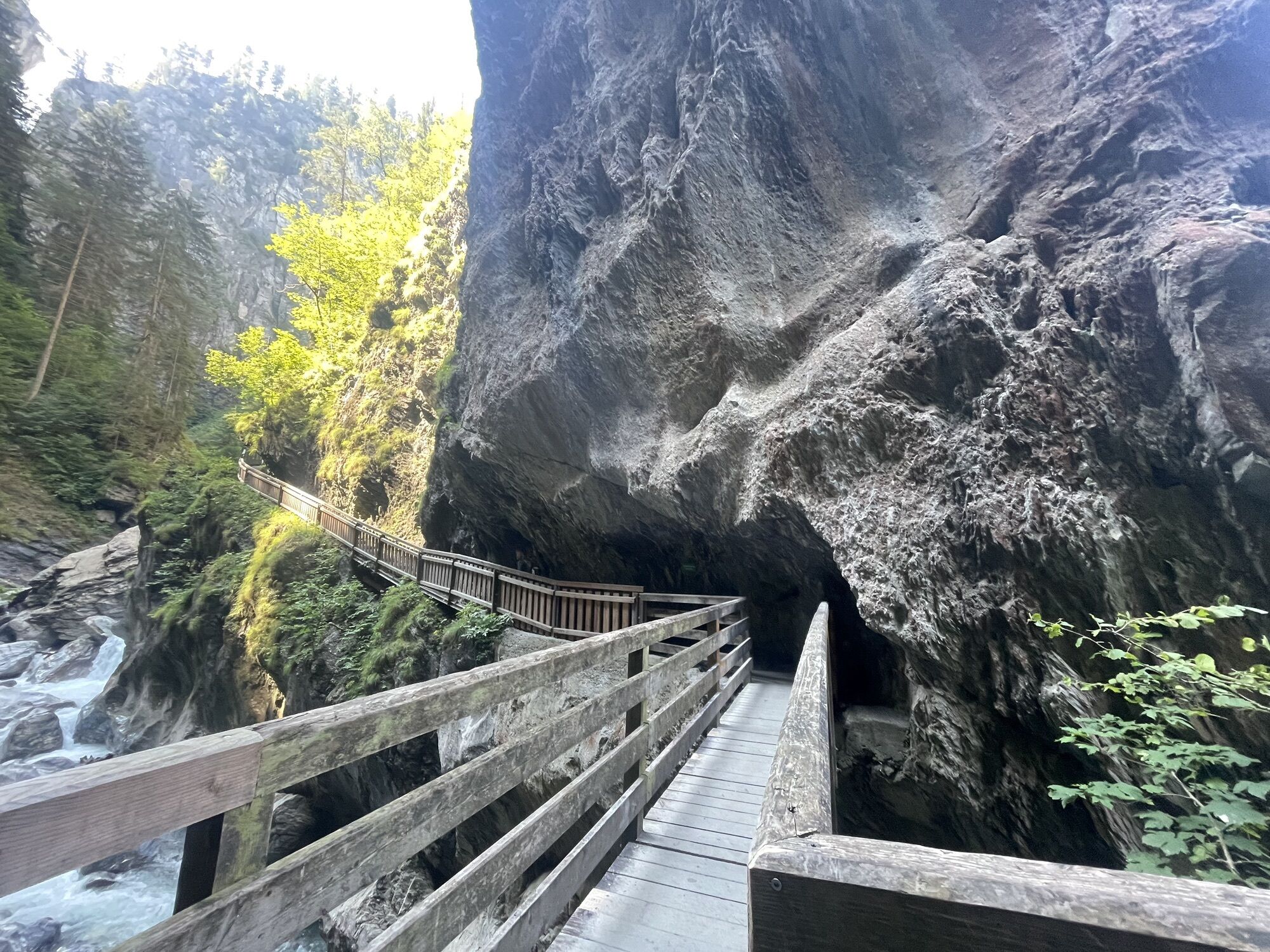
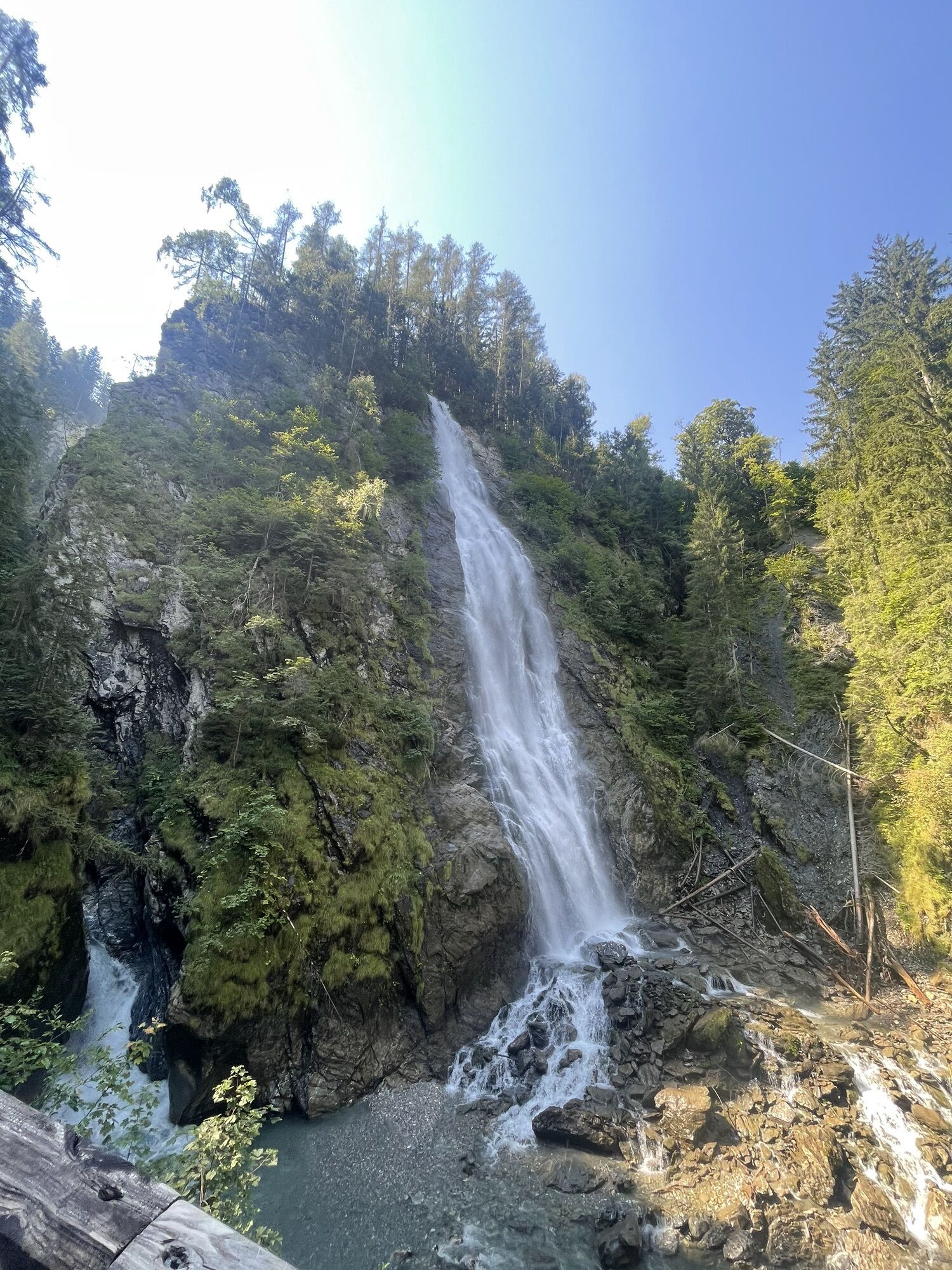
Rauris: Rupertiweg Rauris - Entrance Kitzlochklamm no. 110
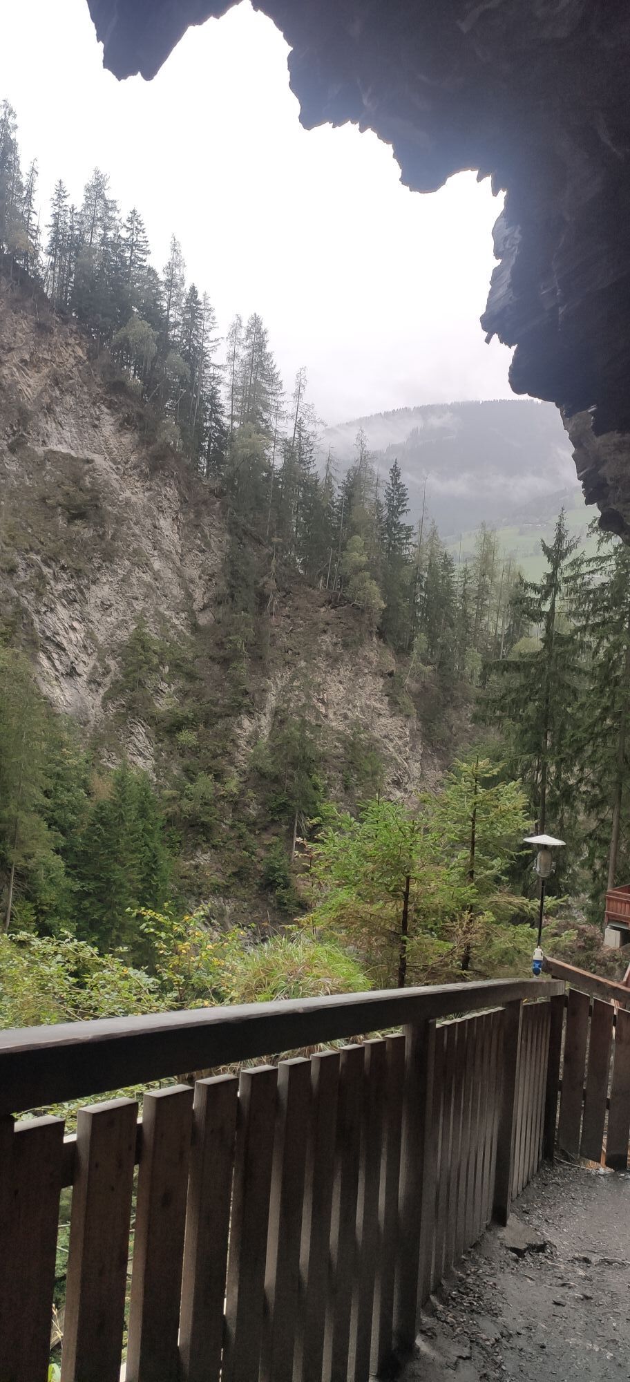

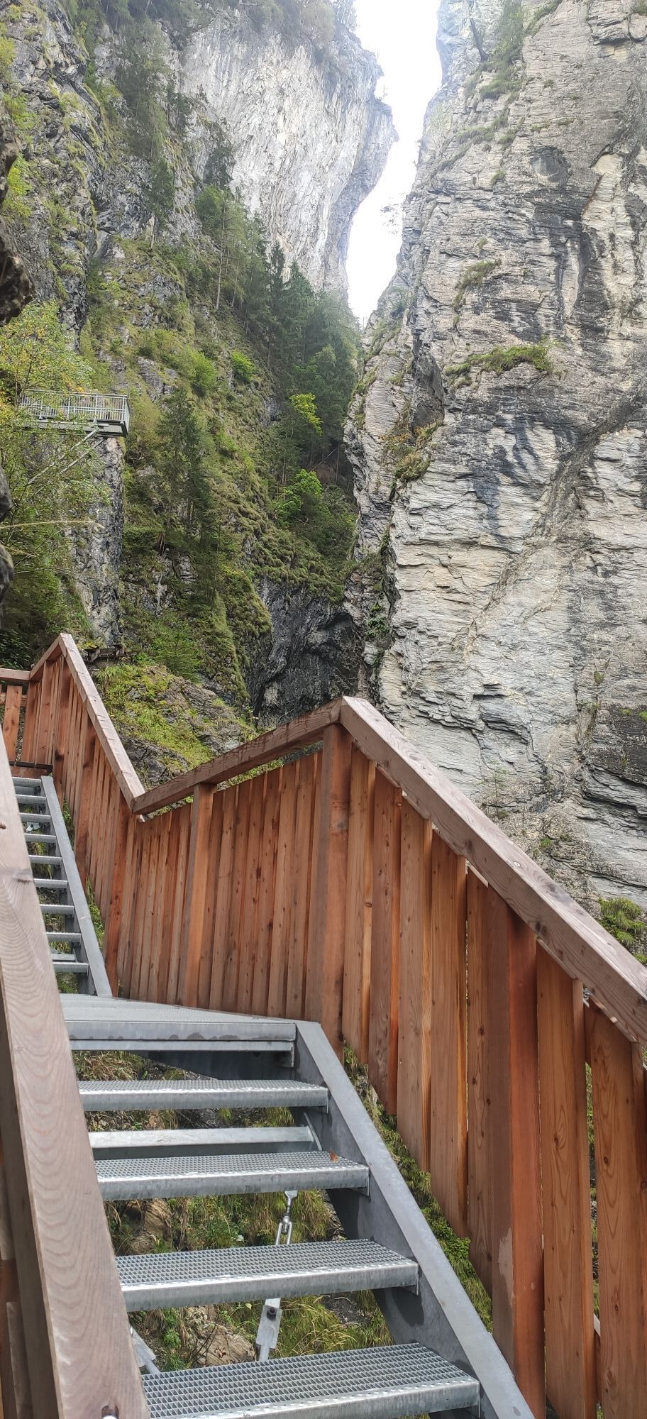
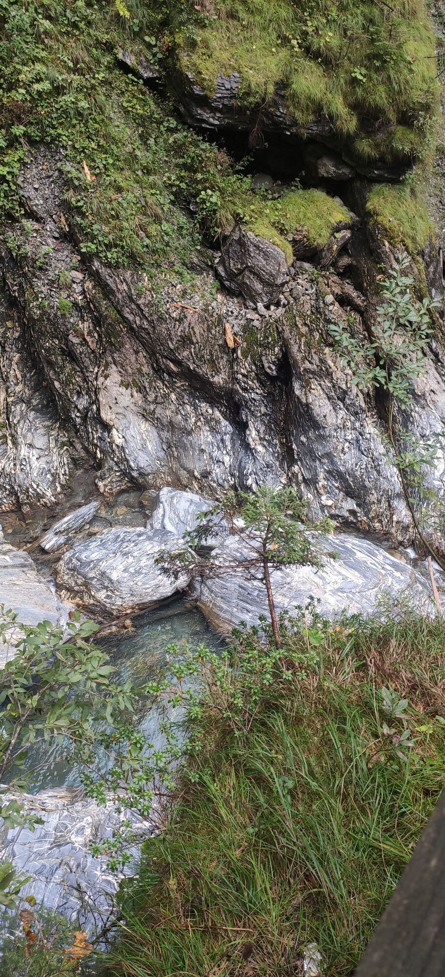
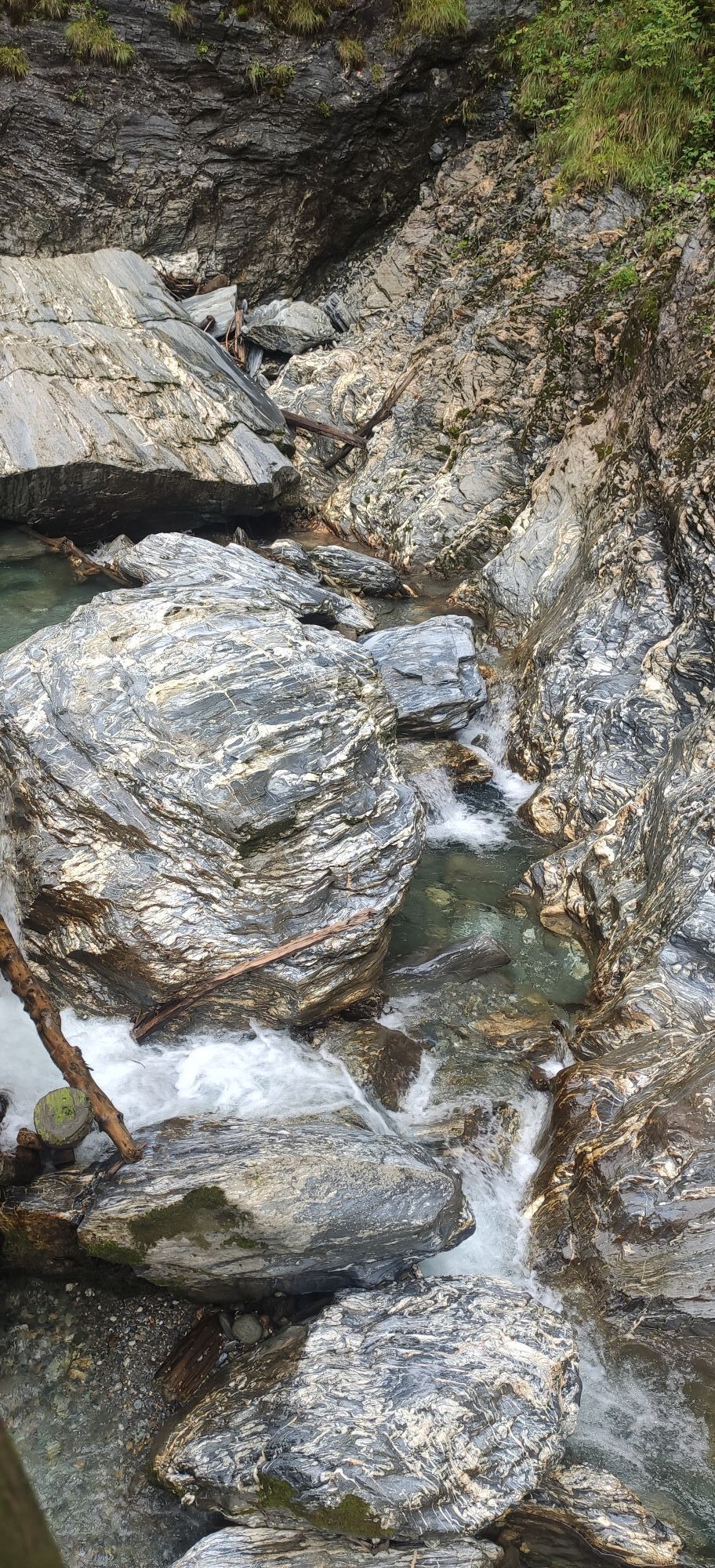
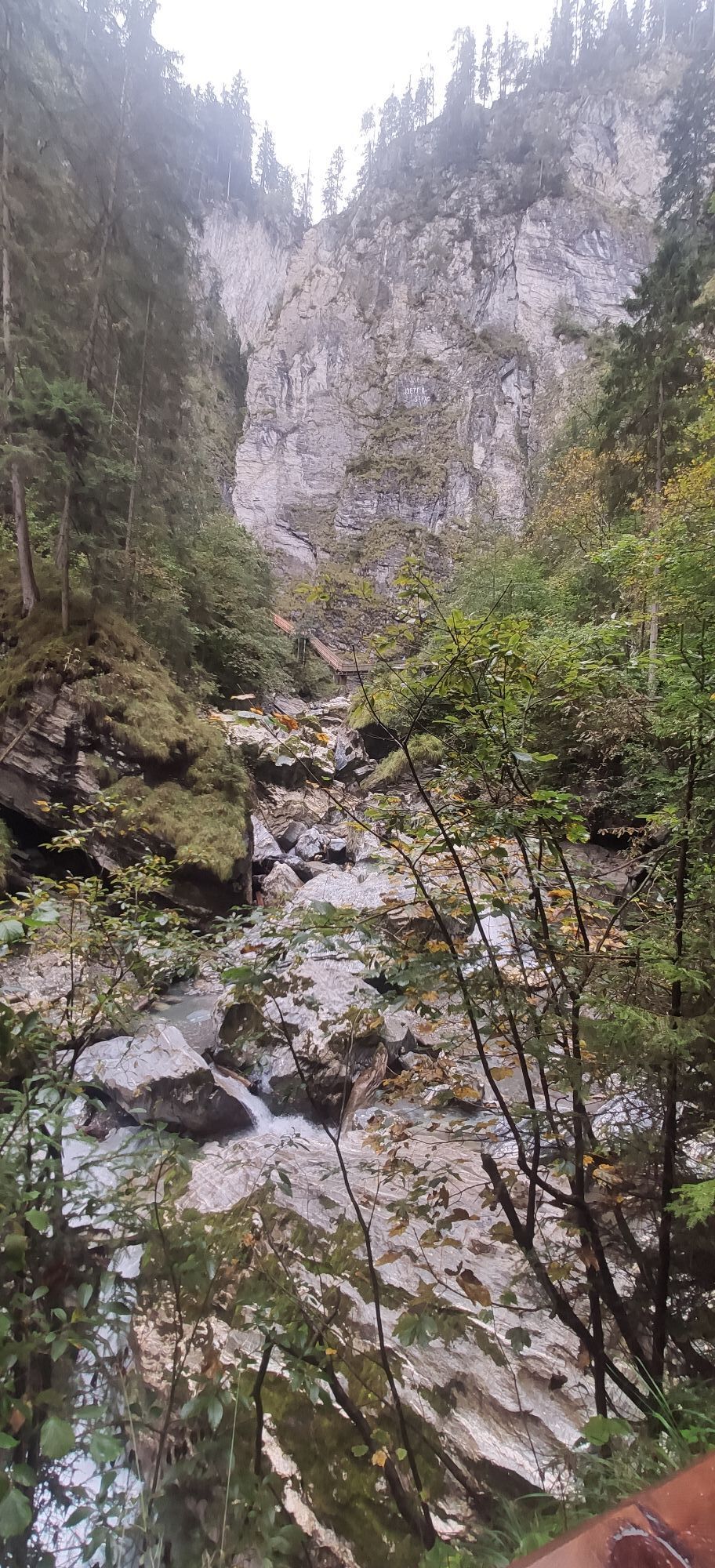
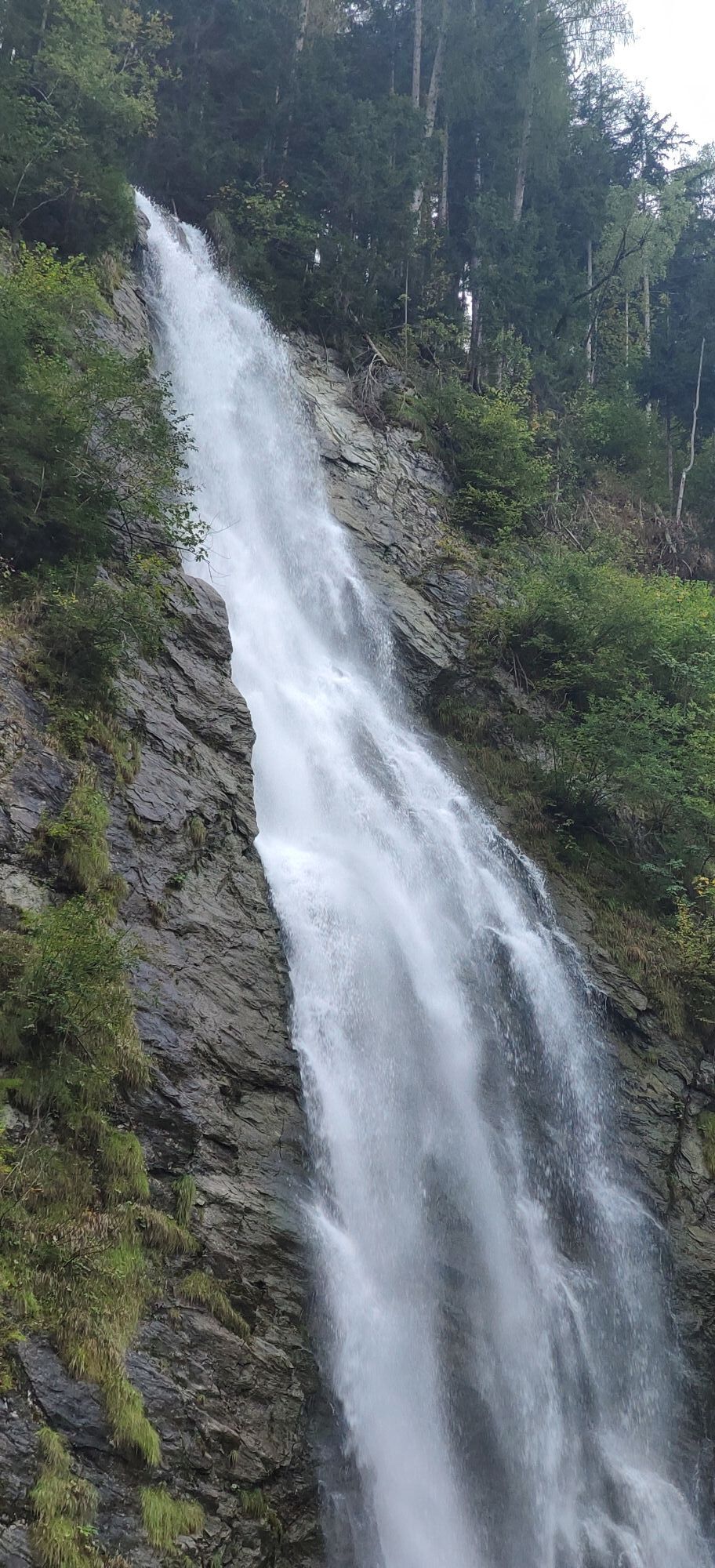
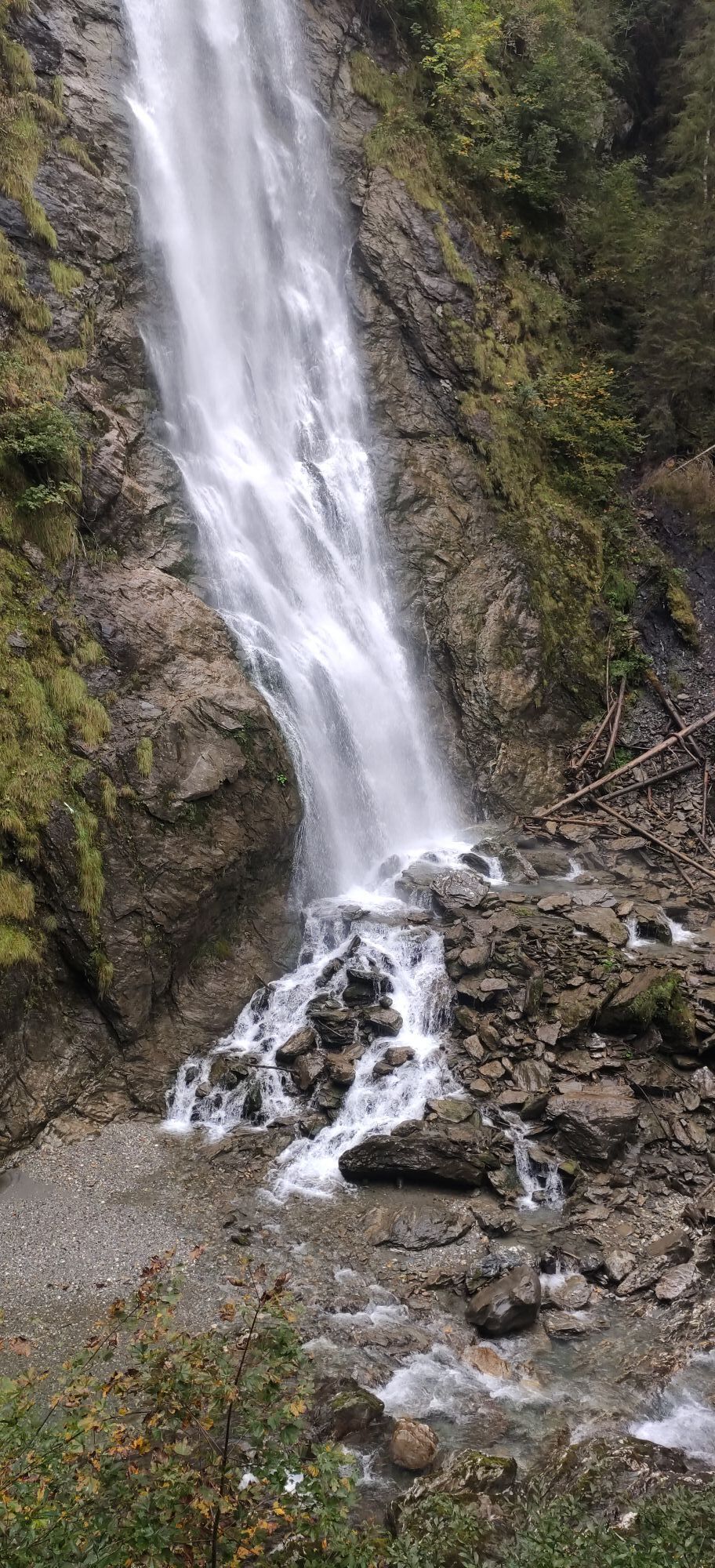

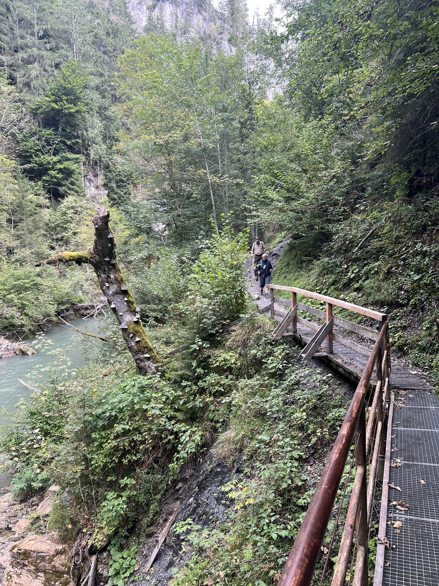
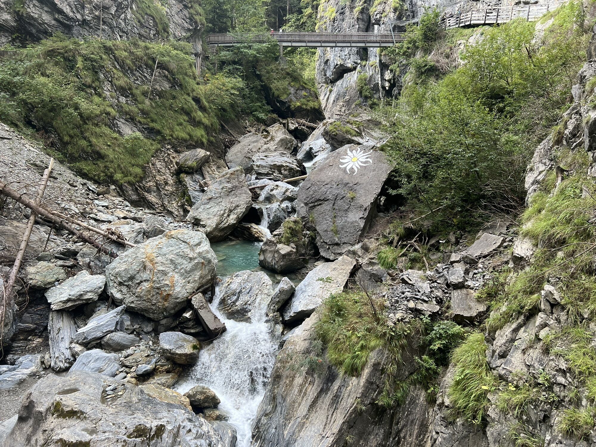
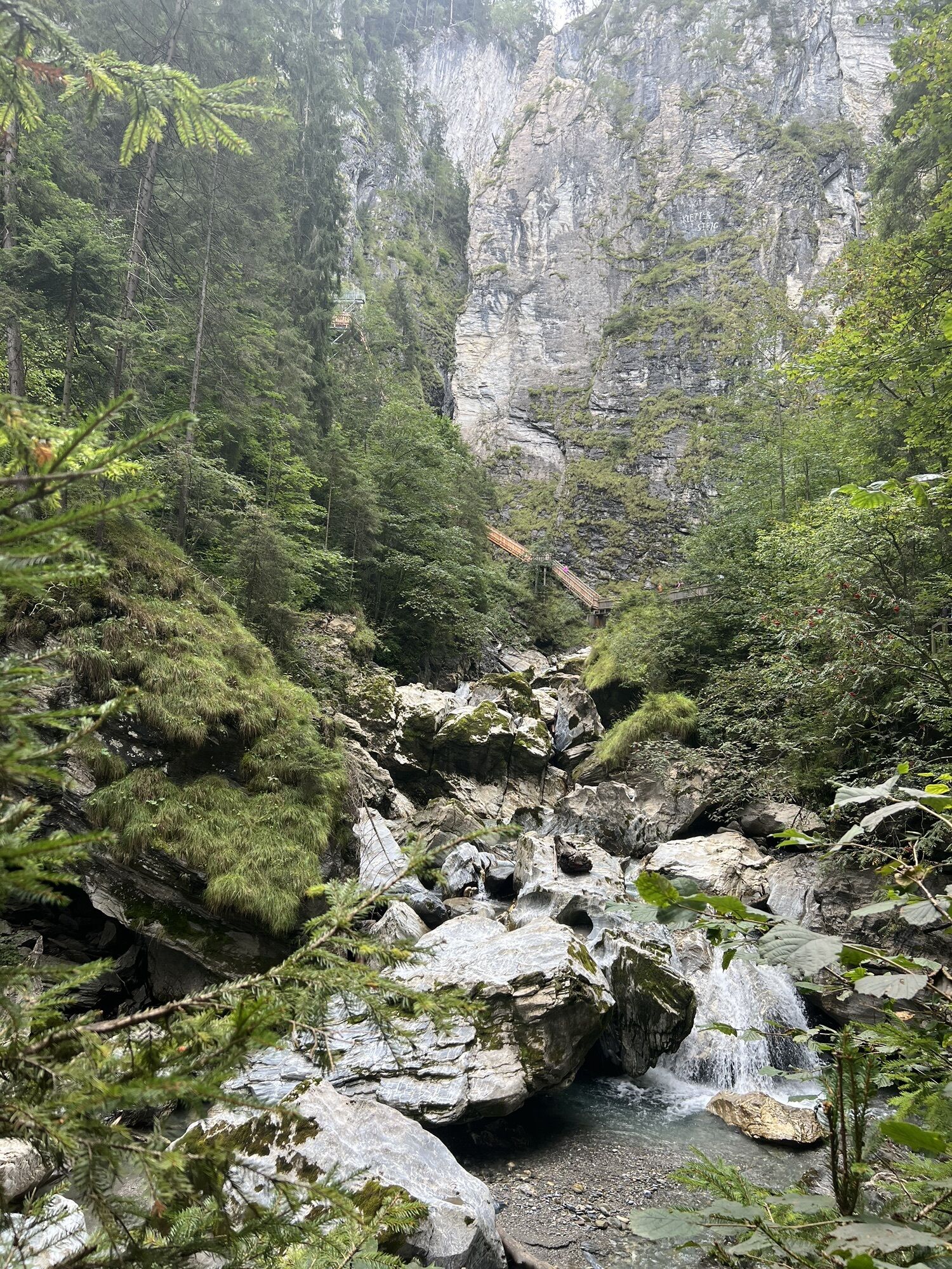


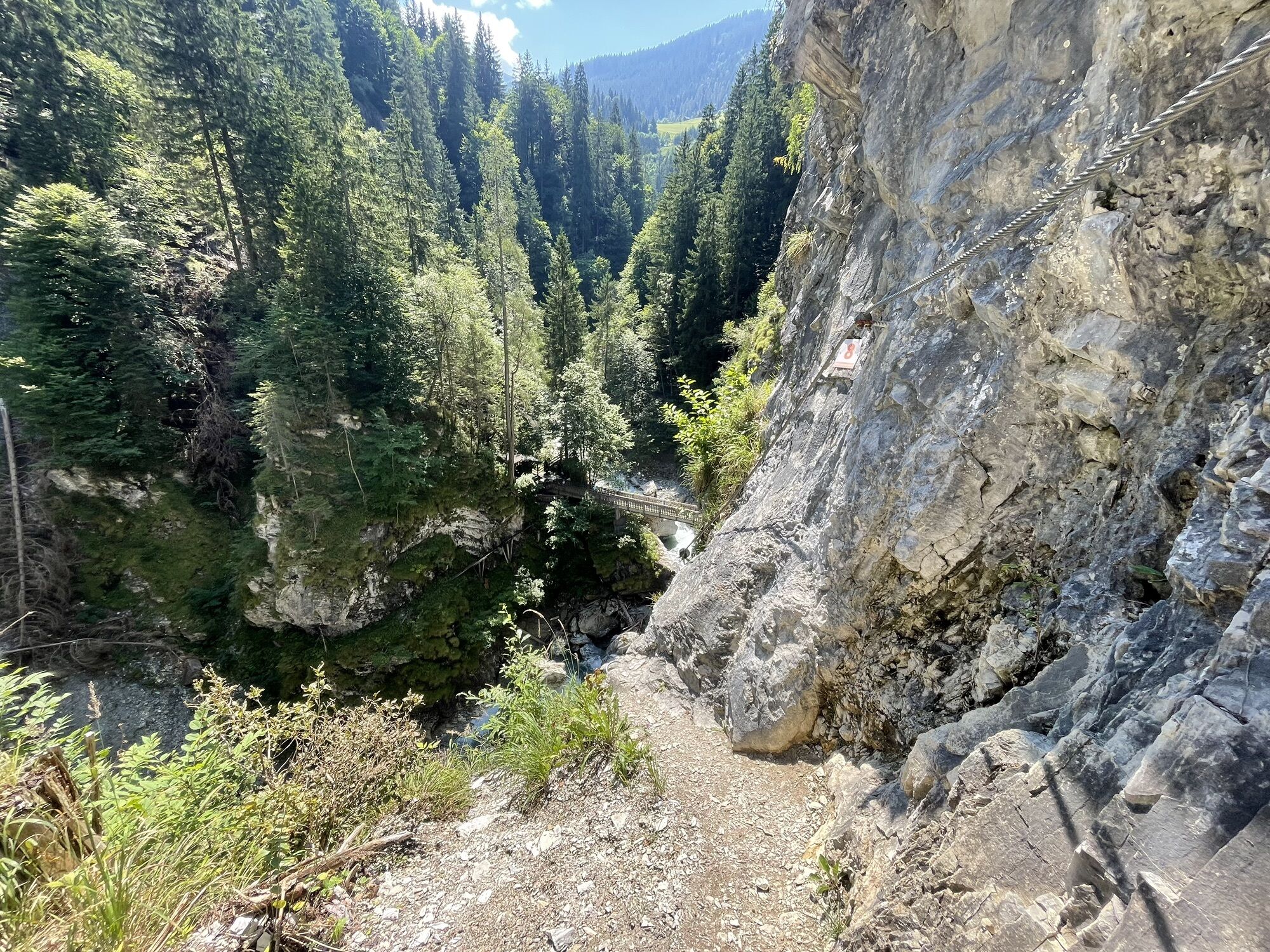
From the center of Rauris, the easy hiking trail runs via Schiefergasse and Grubweg to the snack station "Palfingerhof". After about 1.5 hours walking time on the right bank of the Rauriser Ache, you reach...
The Rupertiweg can be continued up to the federal road in Taxenbach (another 2 km).

Center of Rauris - Schiefergasse - Grubweg - Rupertiweg along the Rauriser Ache - Gasthof Ager junction Embach - Entrance Kitzlochklamm - Kitzloch ticket office - Taxenbach.
Tak
Tak
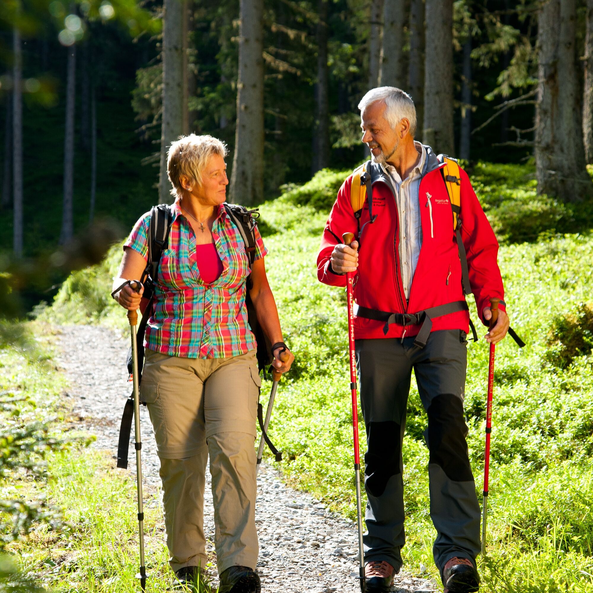
Sturdy footwear, poles, hiking equipment.
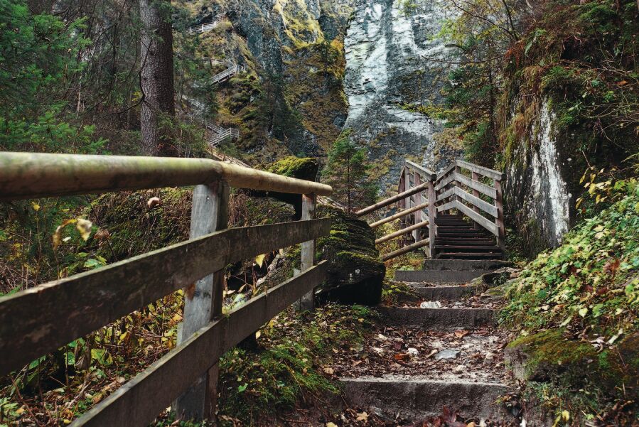
Grazing livestock is near the hiking trail to Kitzlochklamm.
Via B311 to Kitzlochklamm in Taxenbach or to Rauris.
By post bus line 640 to the bus stop "Rauris town center".
Parking available at Kitzlochklamm or Rauris center (free of charge).
The Rupertiweg can also be hiked in reverse, from Taxenbach or from the center of Rauris into the Gaisbach valley and further to Bad Hofgastein (trail no. 110 into the Gaisbach valley, then turnoff onto easy trail no. 2 and then further on the moderate path no. 110 to the Seebach saddle and Bad Hofgastein).
The route can be extended via the Bockhartsee in Gastein up to the Mallnitz Tauern (Hagener Hut, 2448 m) on the main Alpine ridge and finally down to Mallnitz (1191 m).
Popularne wycieczki w okolicy
- 4,9
Großarl: Aualm - Liechtensteinkopf - Aukopf - Schuhflicker - Schuhflickersee
średniWędrówka 5,84 km - 4,3
Schwalbenwand Nr. 80, 81, 82
średniWędrówka 13,0 km - 4,4
Alpine and hut hike "Hochmaisalm & Steinbockalm"
średniWędrówka 8,10 km - 4,8
Highlight Kitzlochklamm Classic round
średniWędrówka 2,02 km - 4,7
Bad Hofgastein Bergbahn Parkplatz - Rastötzenalm Bad Hofgastein
średniMountainbike 16,9 km - 4,5
Thumersbach, Runde um den Zeller See
światłoWędrówka 13,3 km - 4,3
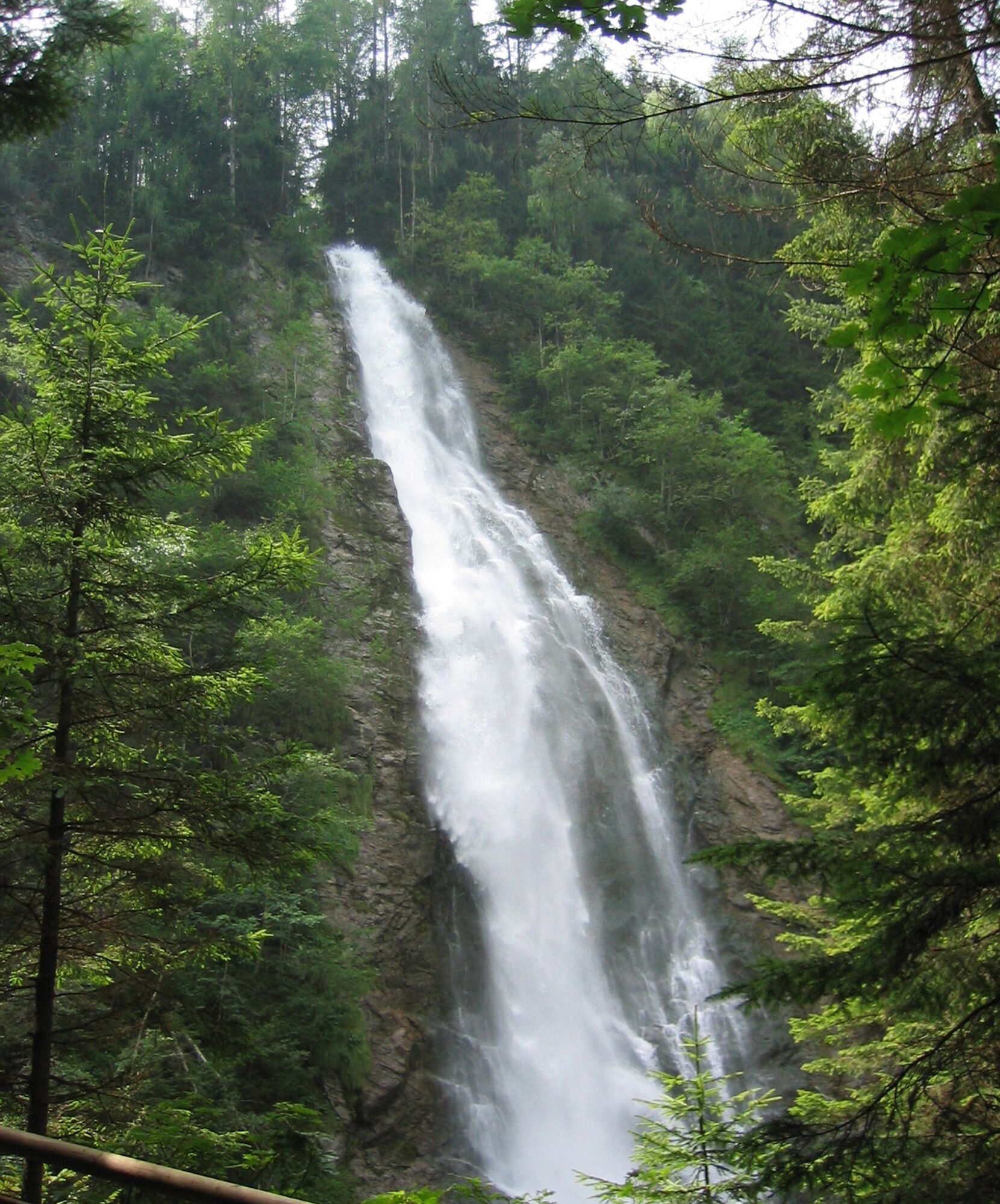
Wasserfall Bad Hofgastein
światłoWędrówka 3,89 km - 4,2
Hundstein-Runde von Maria Alm
ciężkiMountainbike 44,4 km - 4,7
Goldeggweng Hochleitenalm
światłoWędrówka 2,92 km - 5,0
Türchlwand von der Bergstation Schlossalmbahn Bad Hofgastein, Österreich
średniWycieczki górskie 7,05 km
Wędrówki i tropienie


Nie przegap ofert i inspiracji na następne wakacje
Twój adres e-mail została dodana do listy mailingowej.