


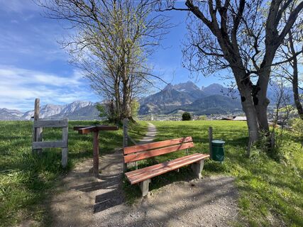
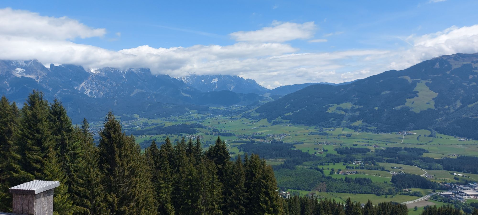
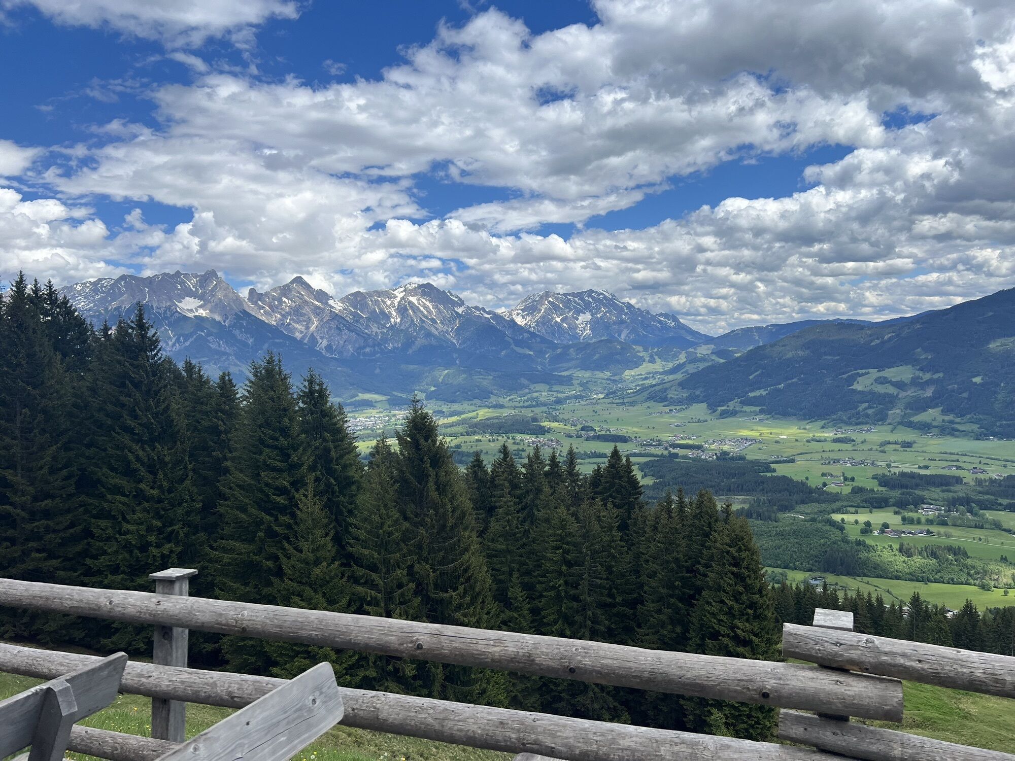
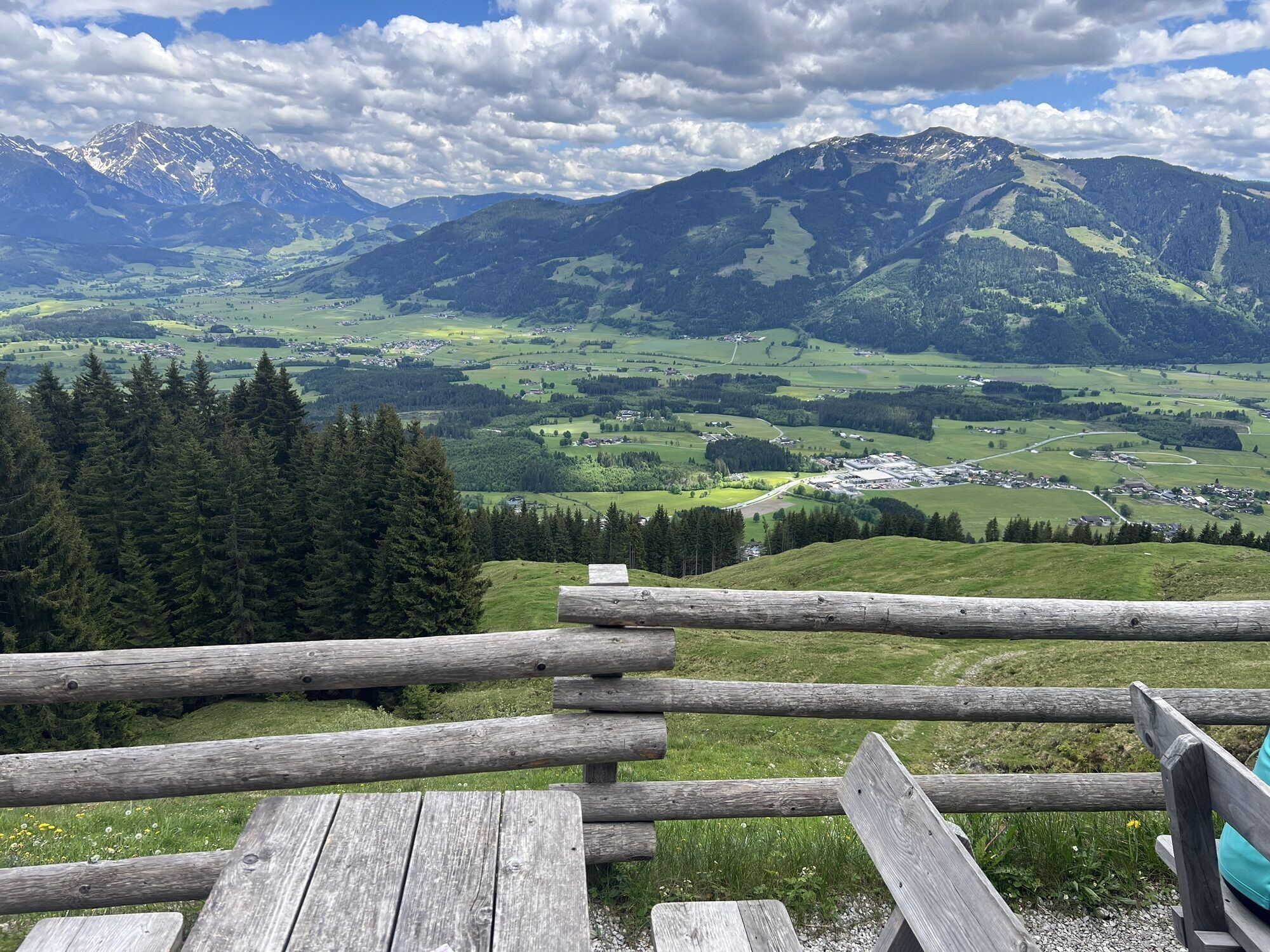
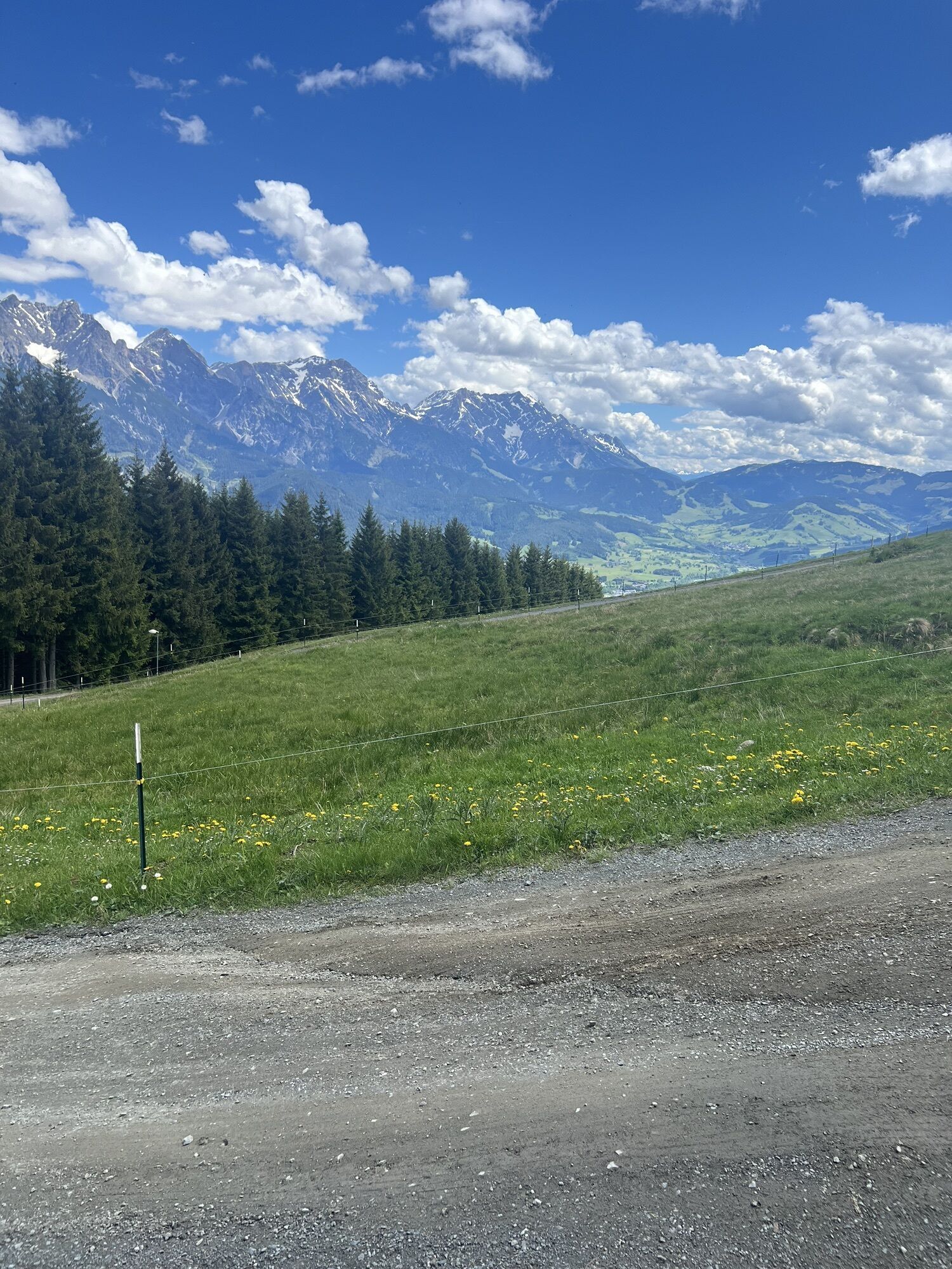
Örgenbauernalm-Biberg loop - Saalachtal panorama route
Zdjęcia naszych użytkowników
-

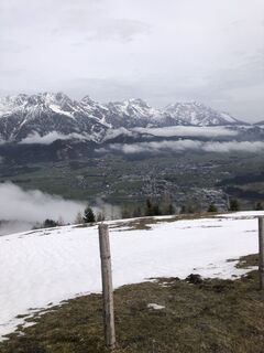
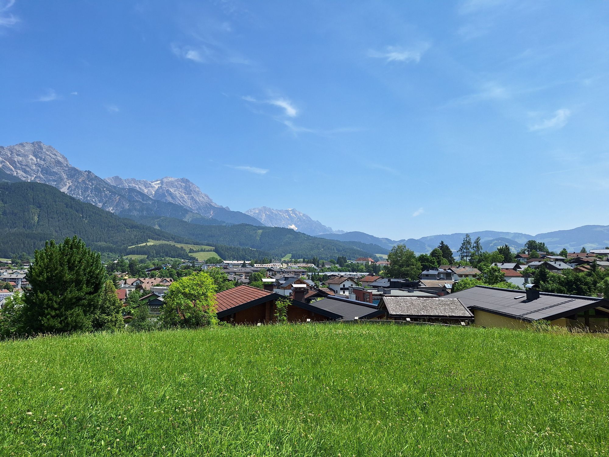
 © kerstin fruehwirthUtworzono dnia 14.10.2025
 -
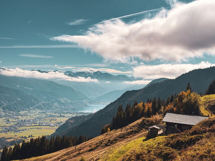 © kerstin fruehwirthUtworzono dnia 14.10.2025
 -
 © kerstin fruehwirthUtworzono dnia 14.10.2025
 -
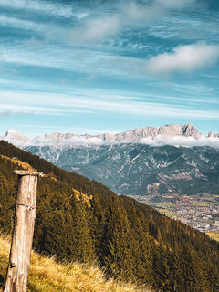
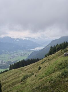
 © Fritz SchernthanerUtworzono dnia 26.08.2025
 -
 © Fritz SchernthanerUtworzono dnia 26.08.2025
 -
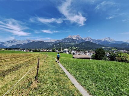
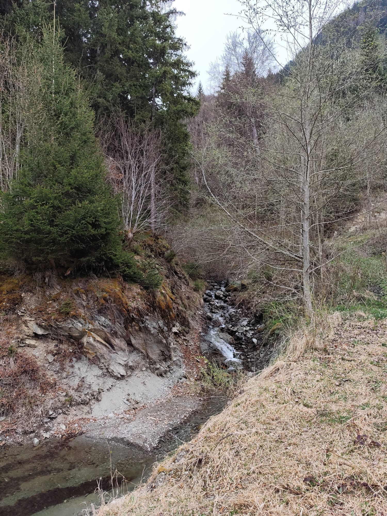
 © brauni69Utworzono dnia 30.05.2025
 -
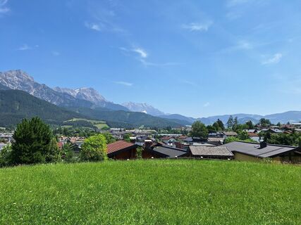
 © brauni69Utworzono dnia 30.05.2025
 -
 © brauni69Utworzono dnia 30.05.2025
 -
 © martl122Utworzono dnia 12.04.2025
 -
 © Heinrich SlesakUtworzono dnia 25.10.2024
 -
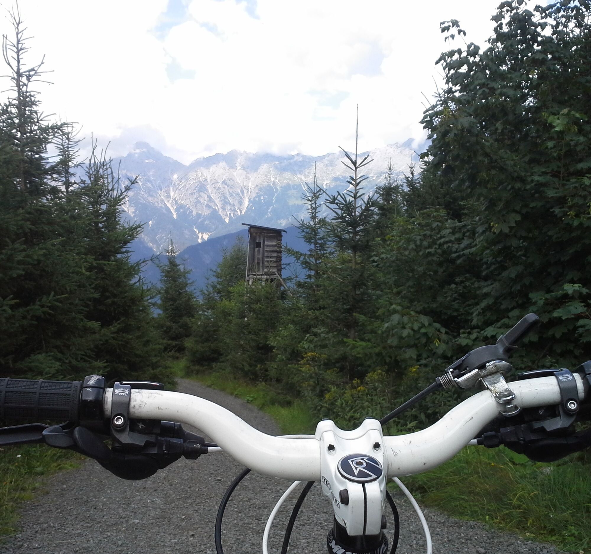
 © Matej Mikus 1Utworzono dnia 11.05.2024
 -
 © Matej Mikus 1Utworzono dnia 11.05.2024
 -
 © Matej Mikus 1Utworzono dnia 11.05.2024
 -

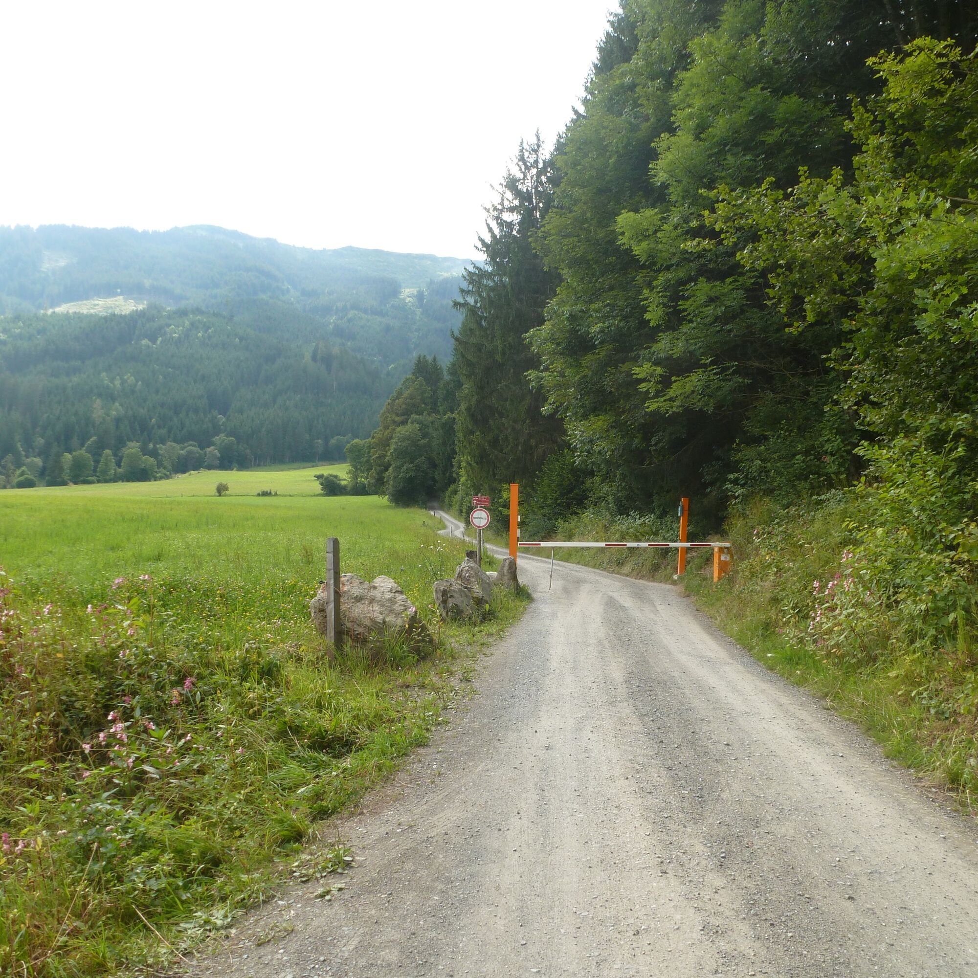
 © Zoran DujakovicUtworzono dnia 18.05.2024
 -
 © Zoran DujakovicUtworzono dnia 18.05.2024
 -
 © Zoran DujakovicUtworzono dnia 18.05.2024
 -
 © Zoran DujakovicUtworzono dnia 18.05.2024
 -
 © Zoran DujakovicUtworzono dnia 18.05.2024
 -
 © Zoran DujakovicUtworzono dnia 18.05.2024
 -
 © Fiona BerghöferUtworzono dnia 30.03.2023
 -
 © Fiona BerghöferUtworzono dnia 30.03.2023
 -

 © KatrinUtworzono dnia 01.01.2026
 -
 © MiriamhaferkampUtworzono dnia 21.08.2025
 -
 © Hermann E.Utworzono dnia 13.06.2025
 -
 © Hermann E.Utworzono dnia 13.06.2025
 -
 © Stefan RohringerUtworzono dnia 20.04.2025
 -
 © Bernd ZengerlingUtworzono dnia 13.04.2025


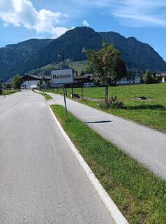
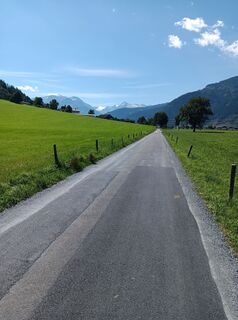
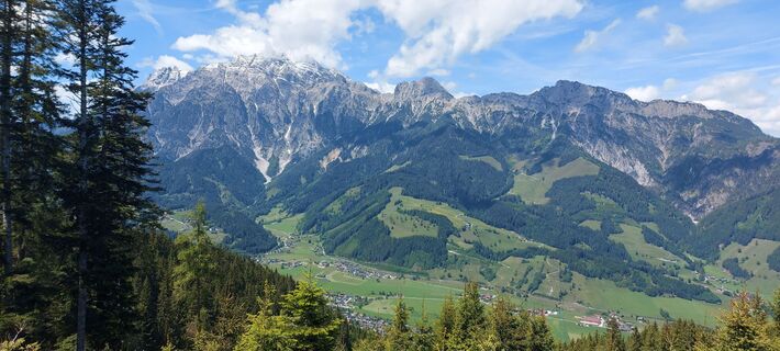
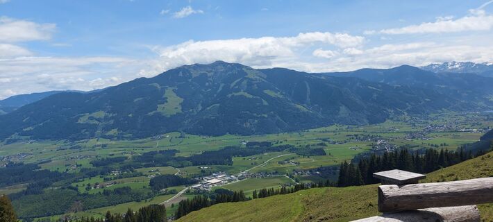
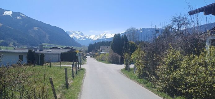
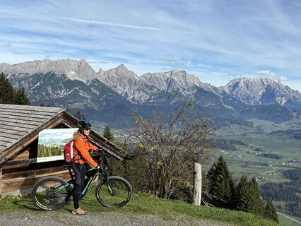
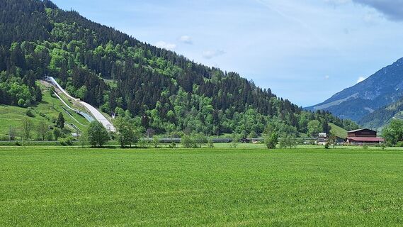
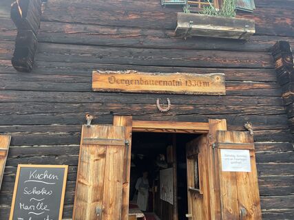
From Maishofen northwards to Kircham and further over field paths to Lahntal. Now almost 500 meters on the federal road towards Saalfelden and just before the bridge over the Harhammer Bach, turn left...
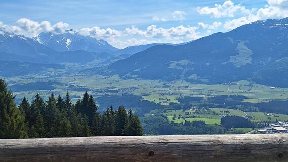
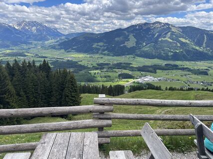
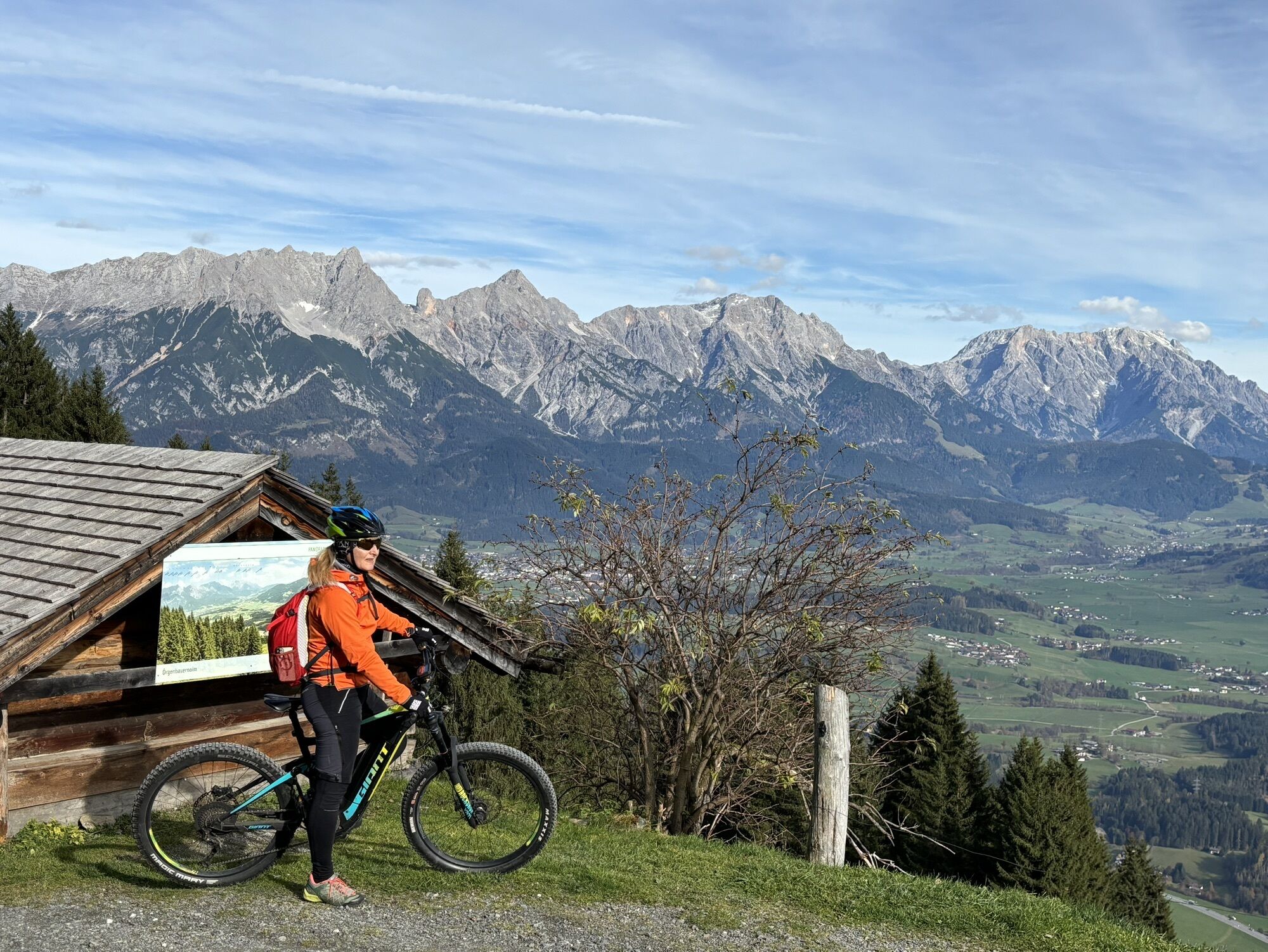
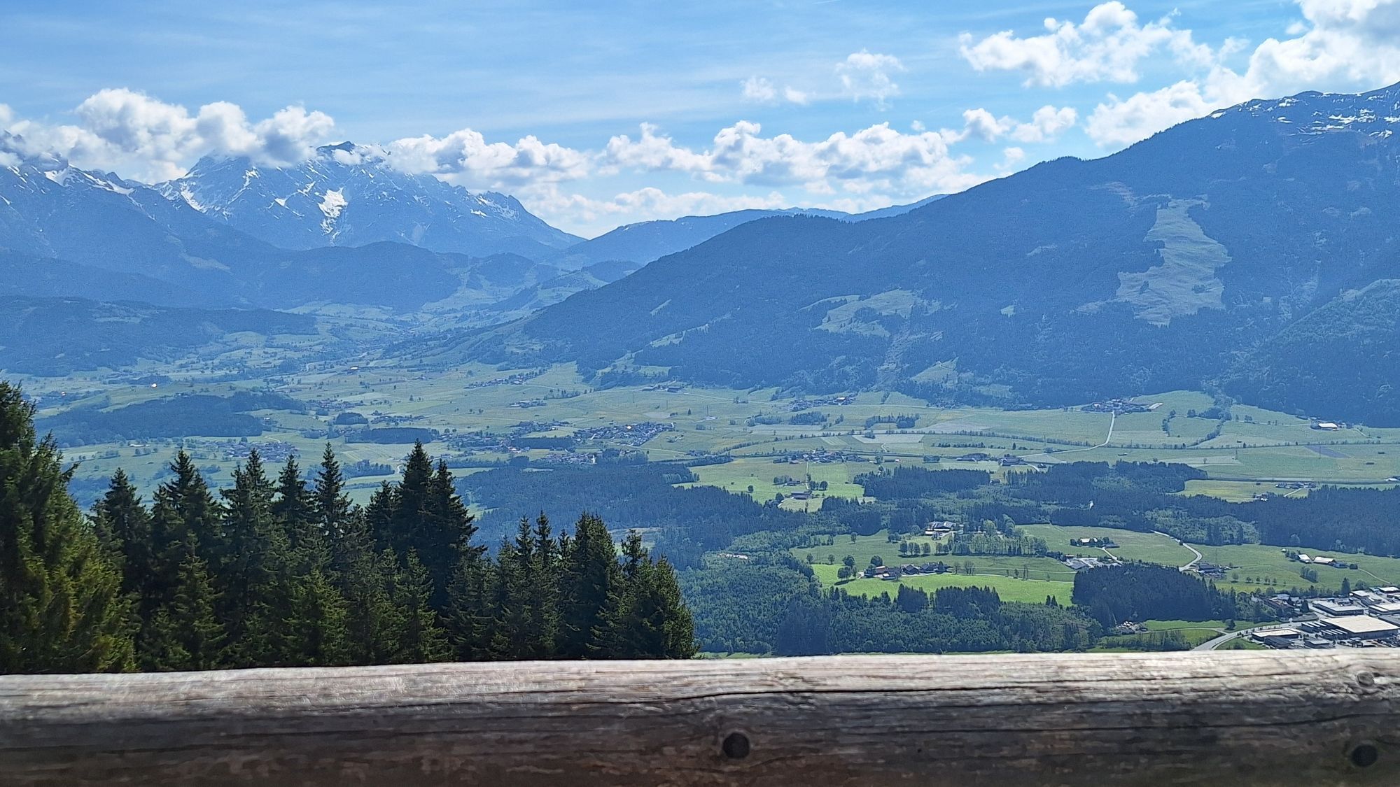
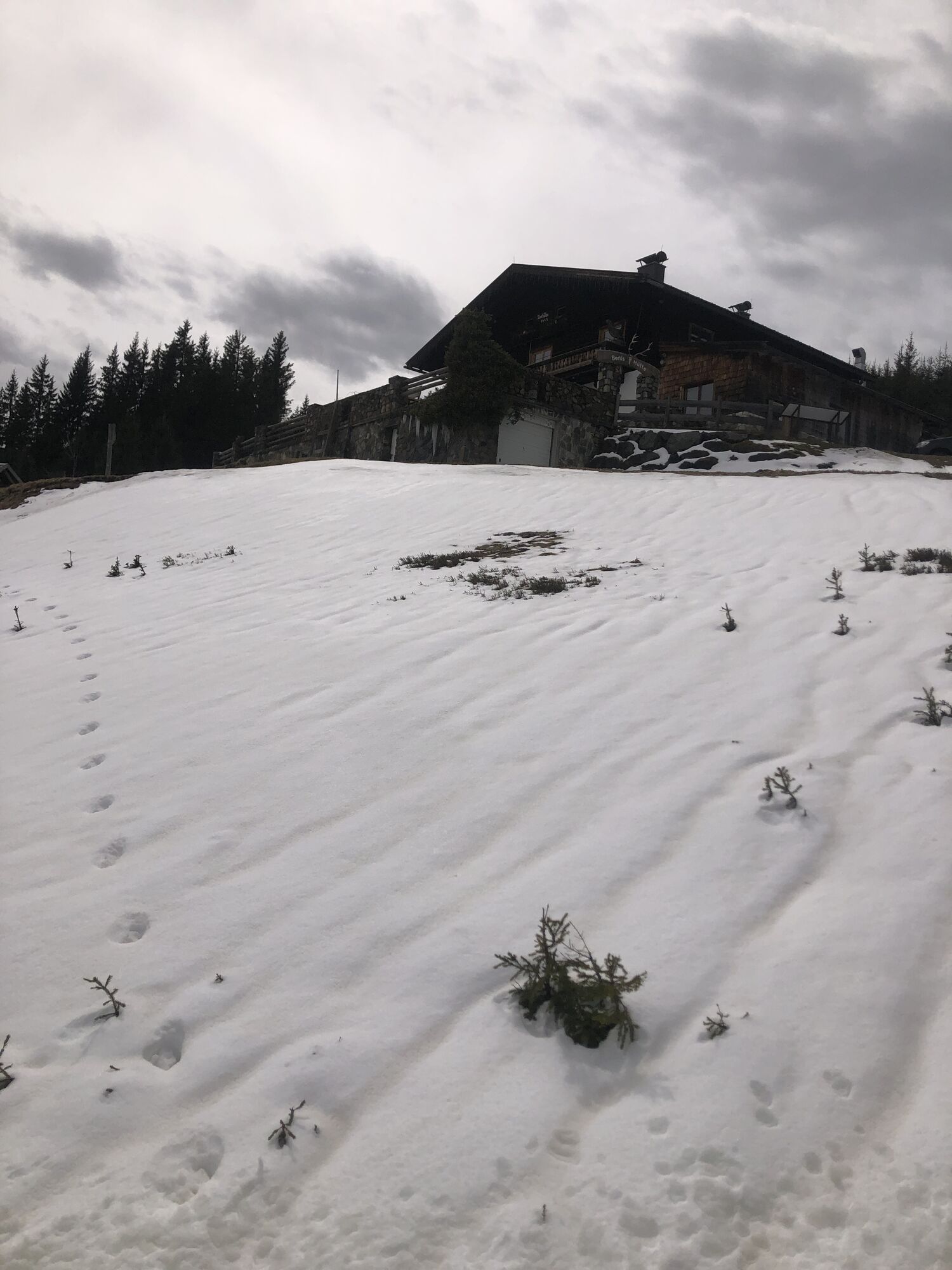
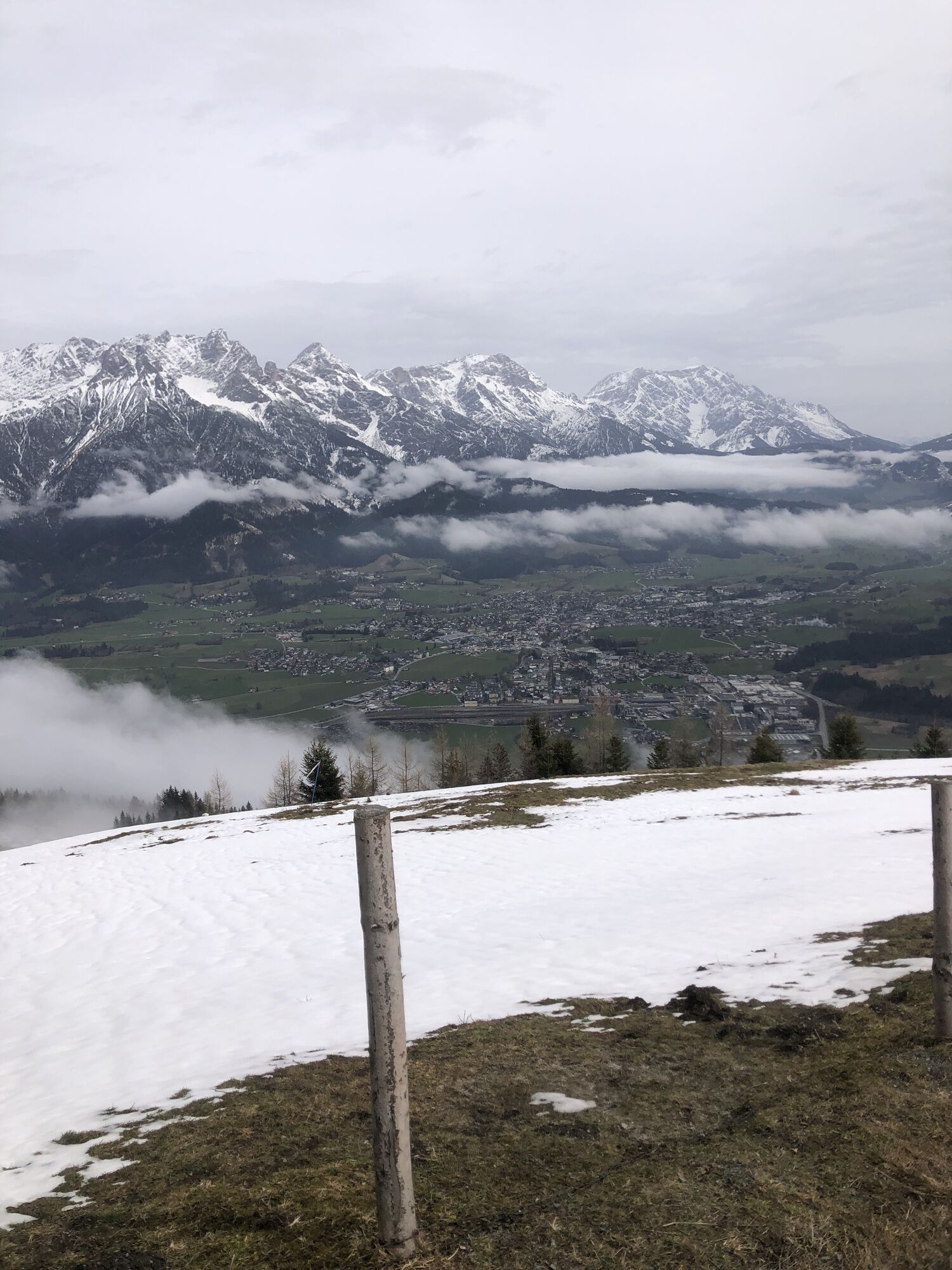
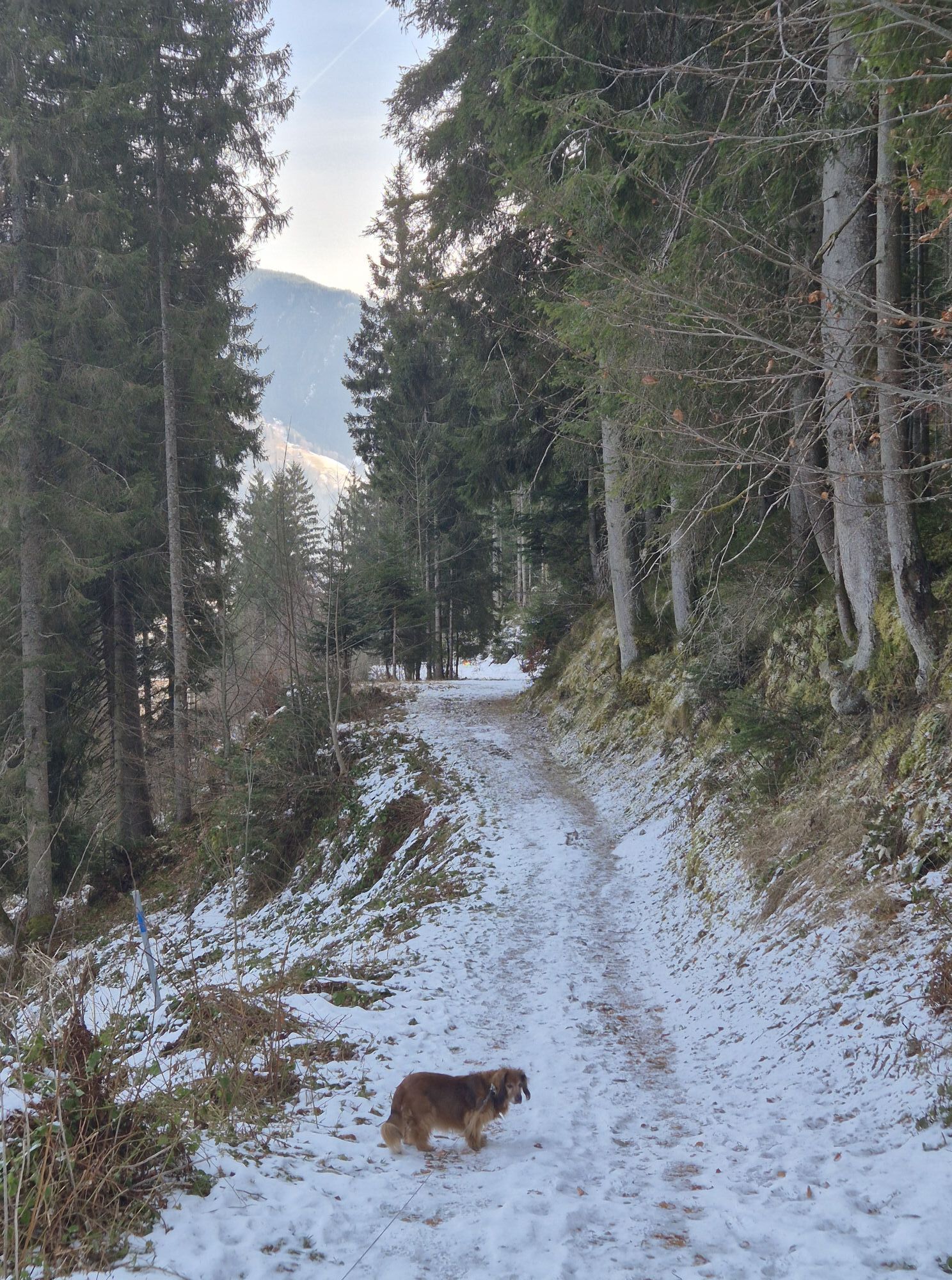
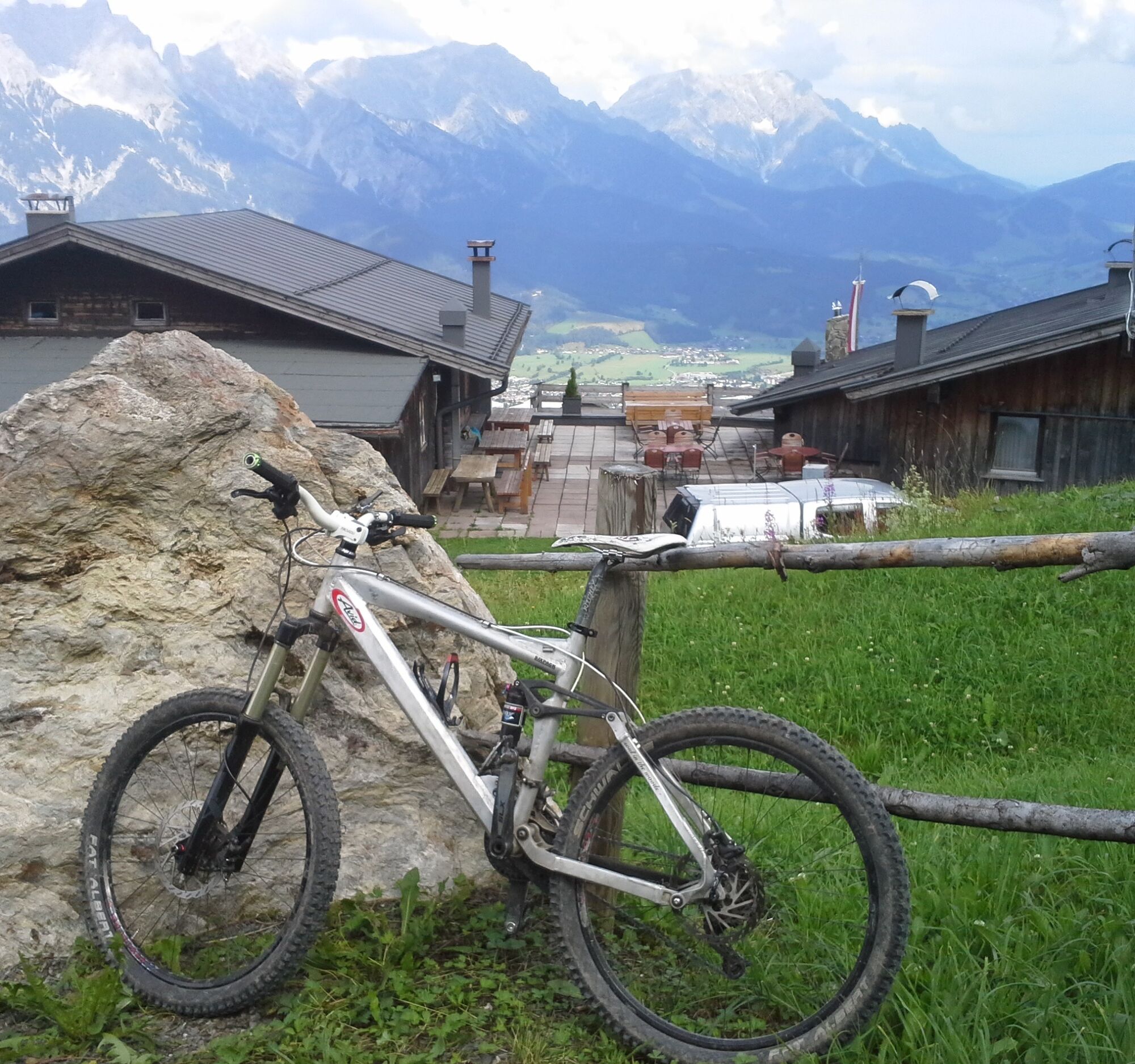
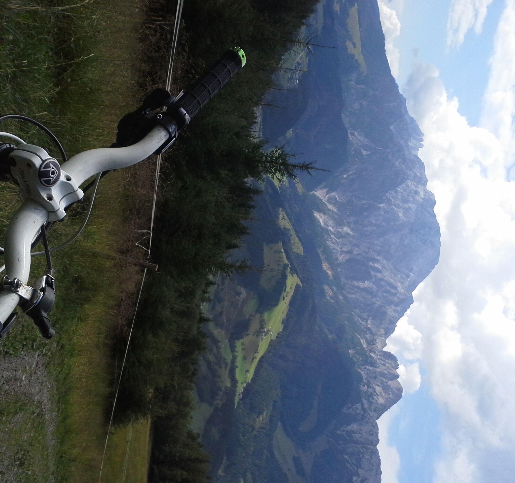
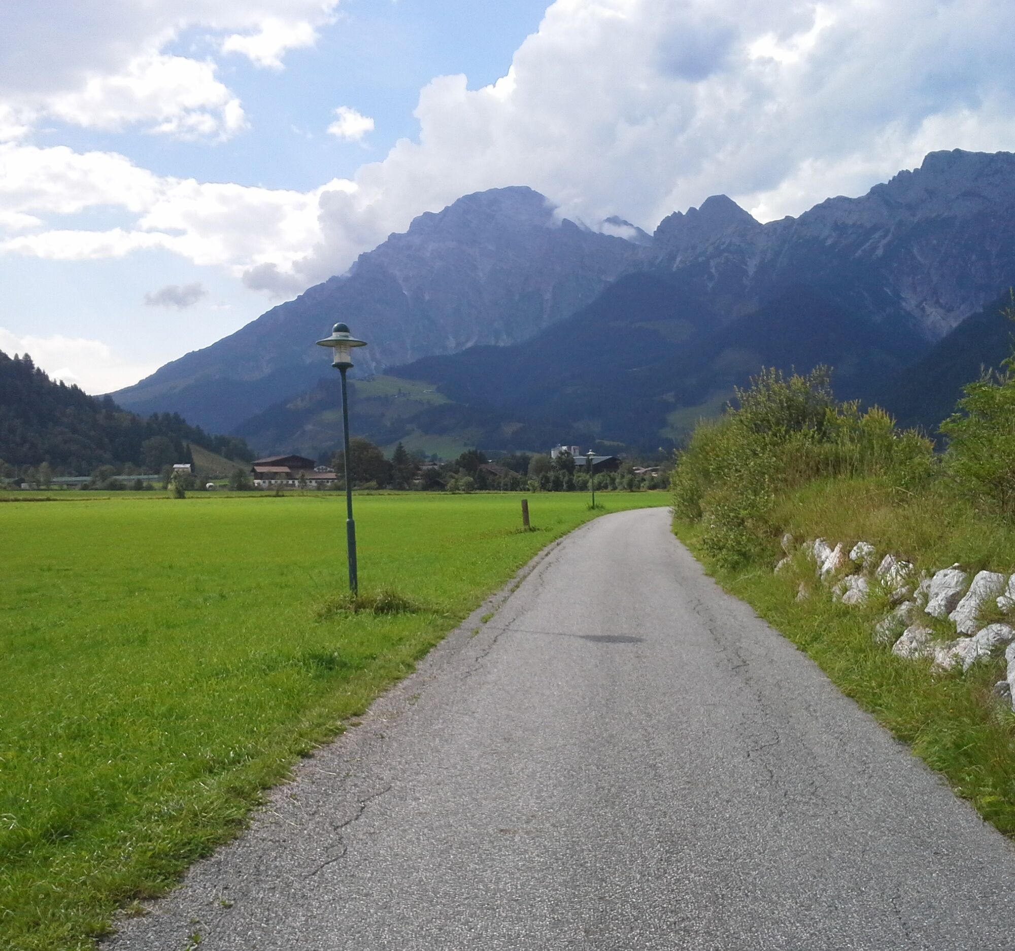
From Maishofen northwards to Kircham and further over field paths to Lahntal. Now almost 500 meters on the federal road towards Saalfelden and just before the bridge over the Harhammer Bach, turn left (barriers and MTB signage). Initially gently ascending and soon in numerous hairpin bends, never too steeply uphill to the Örgenbauernalm. Past it and continuously crossing the hillside with ups and downs, following the MTB signage to the Berggasthaus Biberg. From there, a few hundred meters downhill and in a gentle hairpin bend near the Unterbibergalm turn left over the livestock gate (signposted). On the forest road (marking 21, 21A) now downhill in bends until you meet the federal road at the Stadelbauersiedlung. Cross this straight to Otting and then turn right, following the signposted cycle path via Lenzing to Saalfelden. In the town center, shortly after the church, turn right uphill to the Ritzensee, where depending on the weather you can take a swim with the outstanding panorama of the rugged southern faces of the Steinernes Meer. Past the west shore of the lake, cycle leisurely through the Kollingwald via Bsuch, Gerling, and Kammer Castle back to Maishofen.

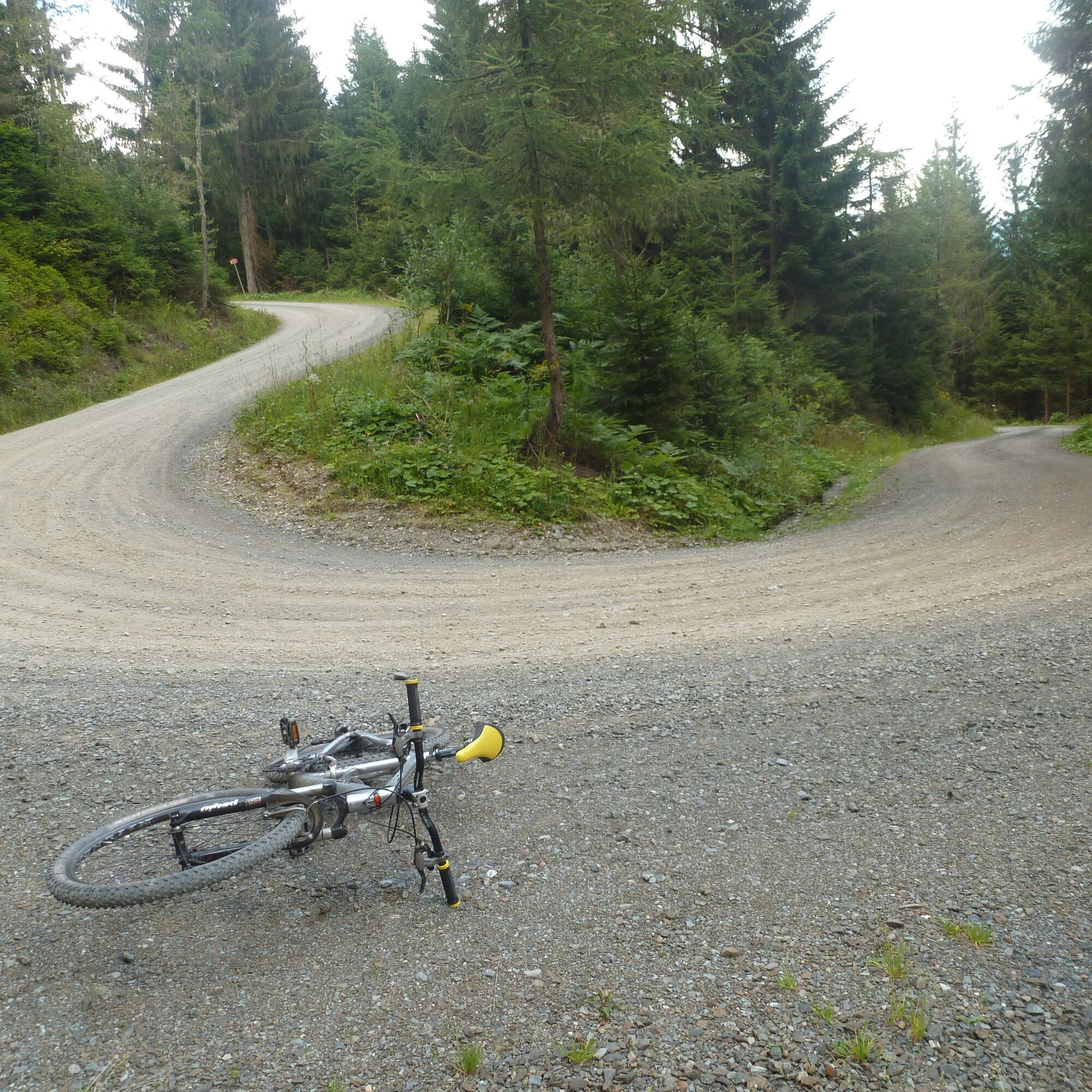

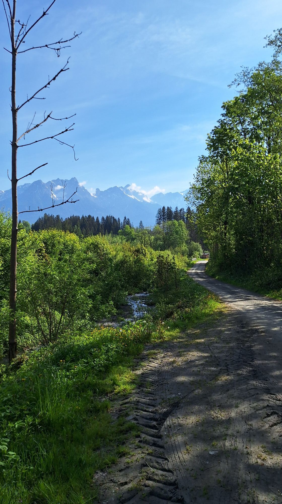
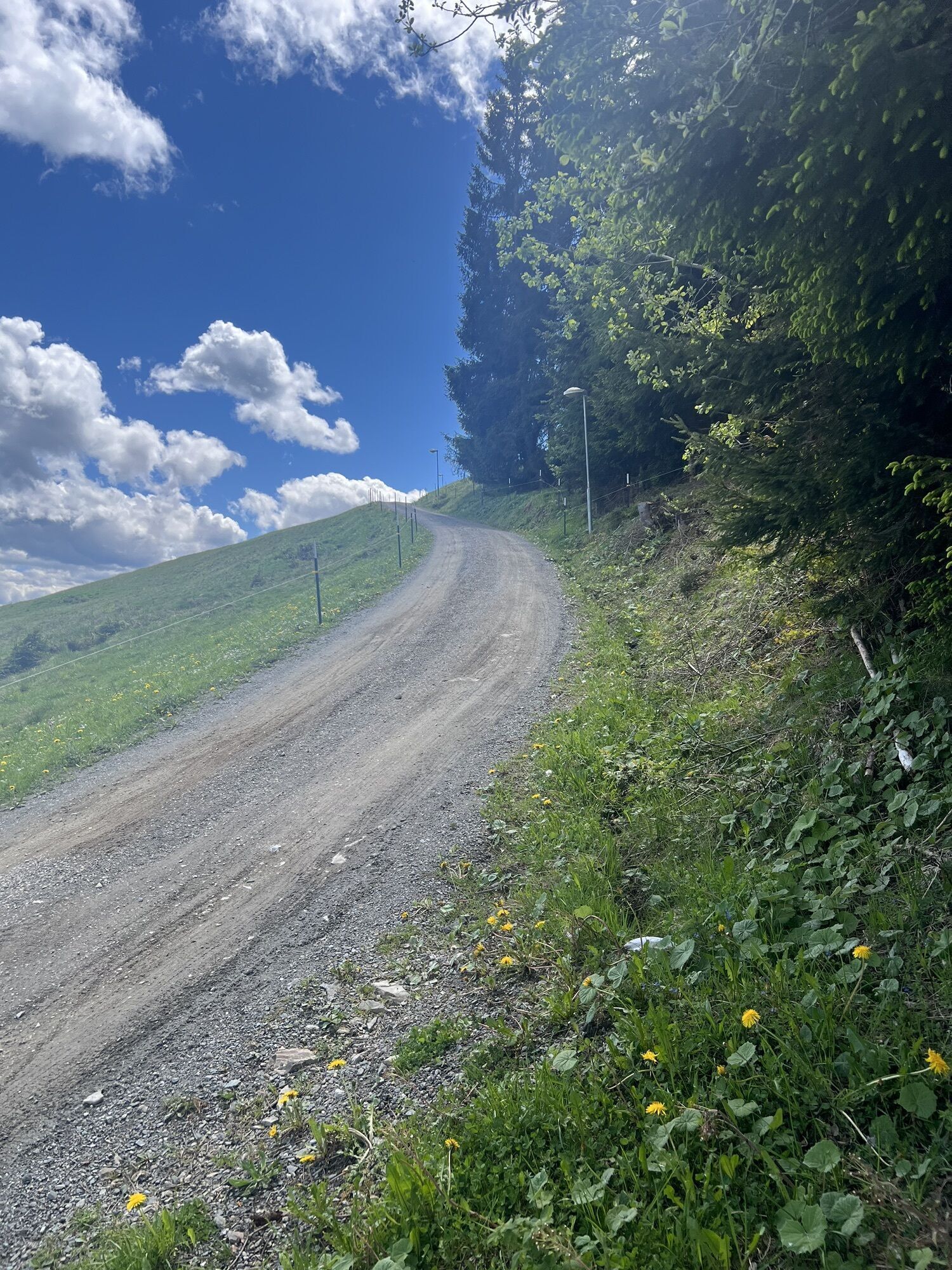
Asphalt and gravel roads, never very steep uphill, downhill from the Berggasthaus Biberg sometimes a bit steeper. Technically an easy route. Partly roads shared with cars.
In Pinzgau, great accommodation has been made for mountain bikers. Clearly more roads and paths are open than elsewhere. If a route is closed, please strictly observe the riding ban, as it is not to spoil our fun but primarily for serious reasons: Closed roads and paths are mostly not rewarding for bikers, or there is danger, for example, due to forestry work.
Various public parking spaces in Maishofen.
The route can be easily extended with the "Maishofen-Viehhofen" loop. For this, from Maishofen to Viehhofen, climb up to the Jahnhütte and then descend along the hillside to the Örgenbauernalm.
Kamery internetowe z trasy
-
Asitz Mittelstation
-
Sonnkogel
-
Schmittenhöhe
-
Mitterberg bei Thumersbach
-
Sommerrodelbahn
-
Zell am See / Hotel Berner
-
Asitz Talstation
-
Zell am See
-
Leogang
-
Saalfelden
-
Leogang Schanteilift
-
Thumersbach
-
Sommerrodelbahn
-
Sommerrodelbahn
-
Sommerrodelbahn
-
Sommerrodelbahn
-
Sommerrodelbahn
-
Talstation Asitzbahn
-
Maishofen Sausteige
-
Maishofen - Schloss Kammer
-
Peter Wiechenthaler Hütte
-
Maishofen Dorfplatz
-
Hoferbichlgut
-
Hinterreit - Saalfelden
-
Saalfelden - Obermühlhof
-
Maria Alm - "die Hochkönigin"
Popularne wycieczki w okolicy
-
4,2
Maria Alm - Riemannhaus
Wędrówka 3,99 km -
4,6
Steinalm
światłoWędrówka 2,71 km -
4,3
Peter-Wiechenthaler Hut
średniWędrówka 4,32 km -
4,1
Schwalbenwand Nr. 80, 81, 82
średniWędrówka 13,0 km -
4,4
Alpine and hut hike "Hochmaisalm & Steinbockalm"
średniWędrówka 8,10 km -
4,1
Passauer Hütte
ciężkiWędrówka 4,14 km -
5,0
Schönfeldspitze 12.08.2020
ciężkiWycieczka wysokogórska 15,3 km -
4,9
Hochsonnberg Runde
średniMountainbike 59,8 km -
4,5
Birnbachloch Leogang, Österreich
średniWędrówka 5,18 km -
4,4
Thumersbach, Runde um den Zeller See
światłoWędrówka 13,3 km

Wędrówki i tropienie


Nie przegap ofert i inspiracji na następne wakacje
Twój adres e-mail została dodana do listy mailingowej.