Nawigacja
Pobierz tę trasę na swój telefon komórkowy
Mapa
9A, 10A Hochprack-Katzsteinalm-Runde

średni
Mountainbike
22,60 km
Zeskanuj kod QR i rozpocznij nawigację w aplikacji bergfex.
QR Code
Wędrówki i tropienie

9A, 10A Hochprack-Katzsteinalm-Runde
Odległość
22,6 km
Czas trwania
03:05 h
Ascent
736 hm
Poziom morza
762 - 1 526 m
Ścieżka do pobrania
Mapa
9A, 10A Hochprack-Katzsteinalm-Runde
średni
Mountainbike
22,60 km

The Hochprack-Katzsteinalm-Runde offers a pure nature experience on the sunny side of Niedernsill and Piesendorf. Hairpin by hairpin, the trail winds its way up via Gaisbichl to Hochprack and continues...

Opis
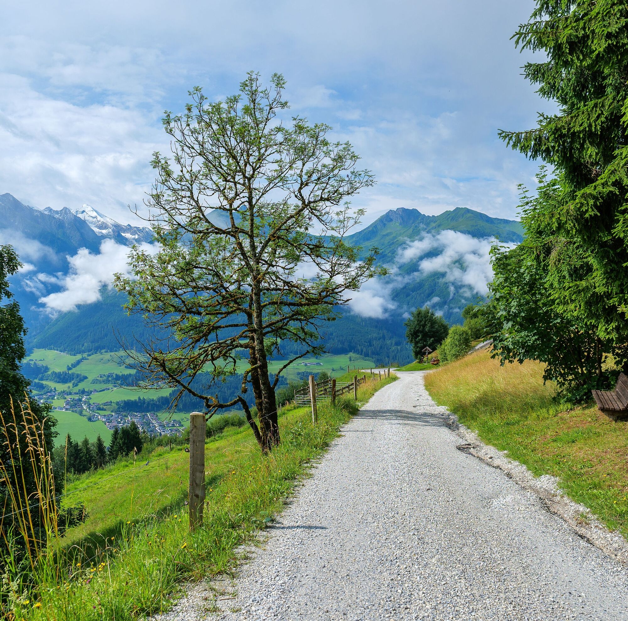
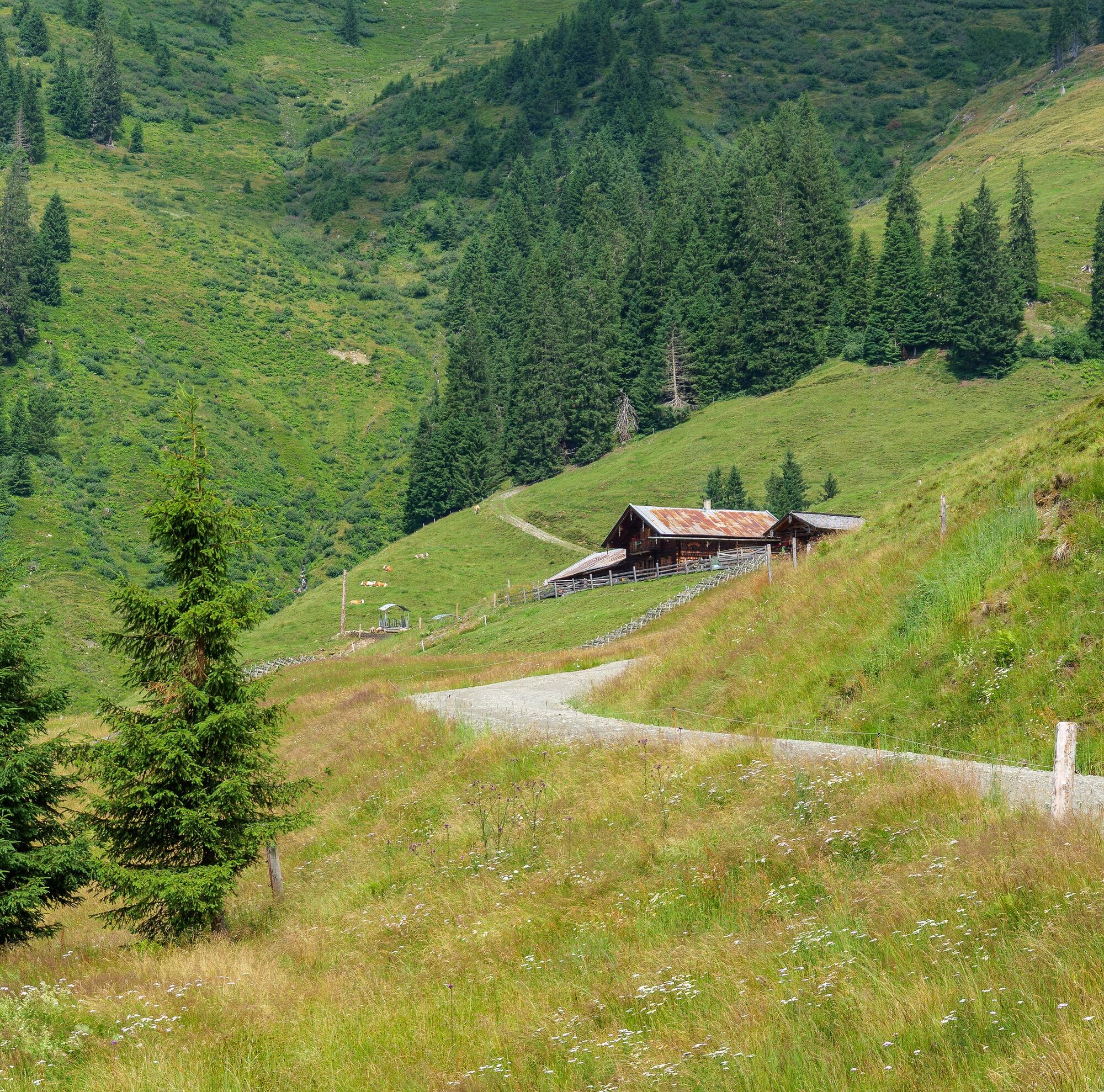
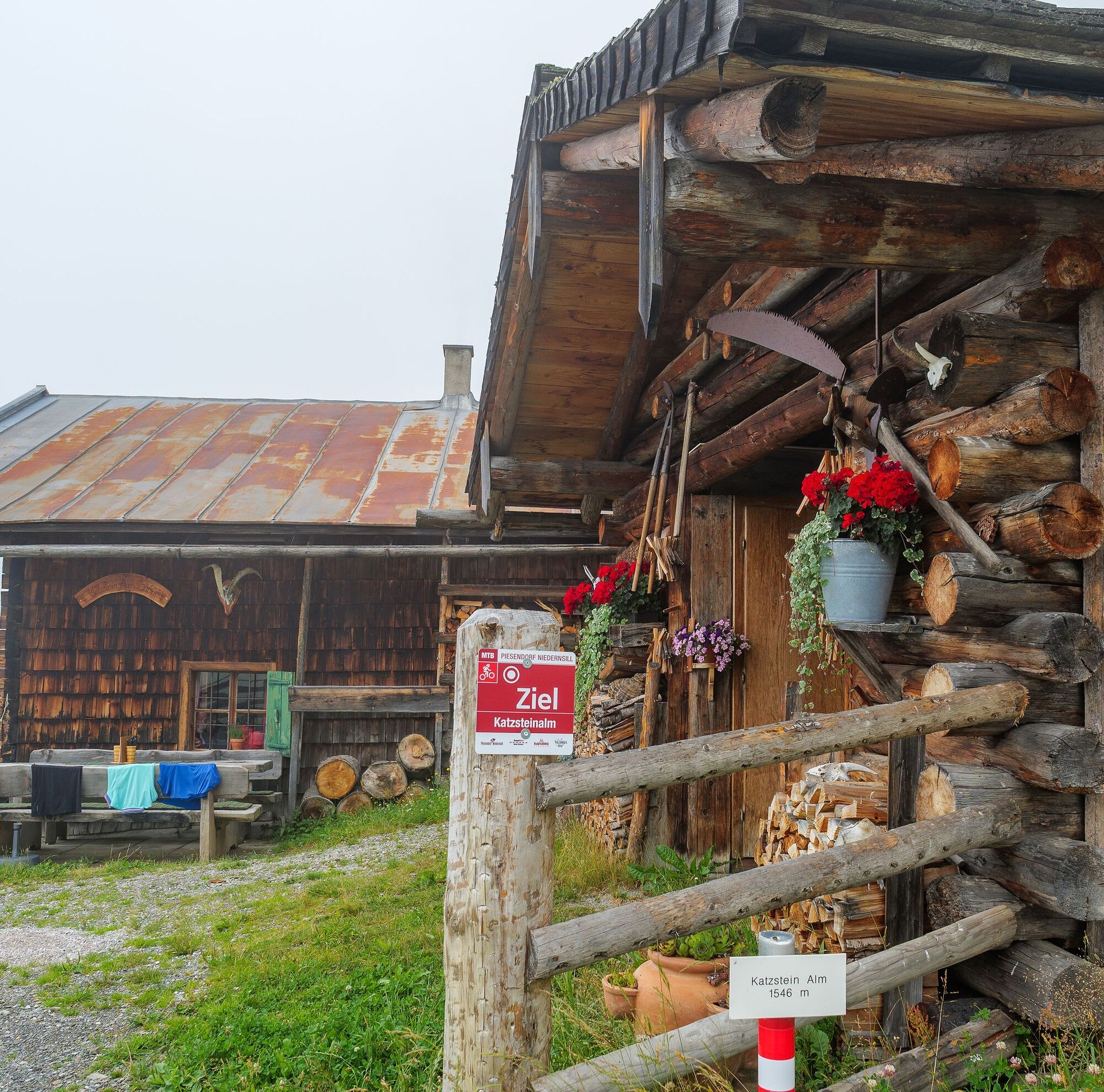
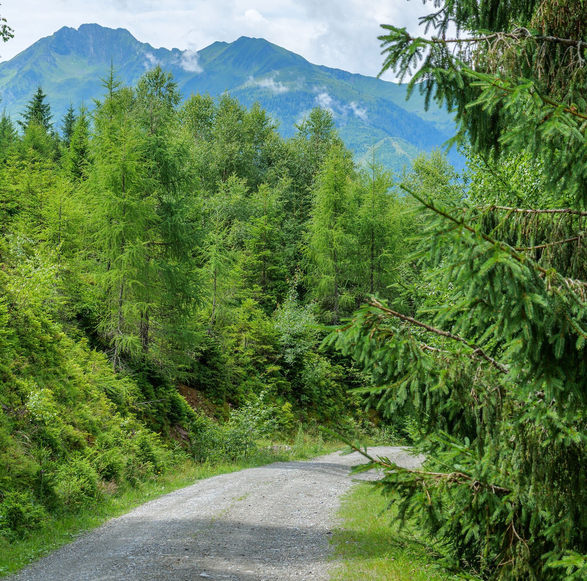
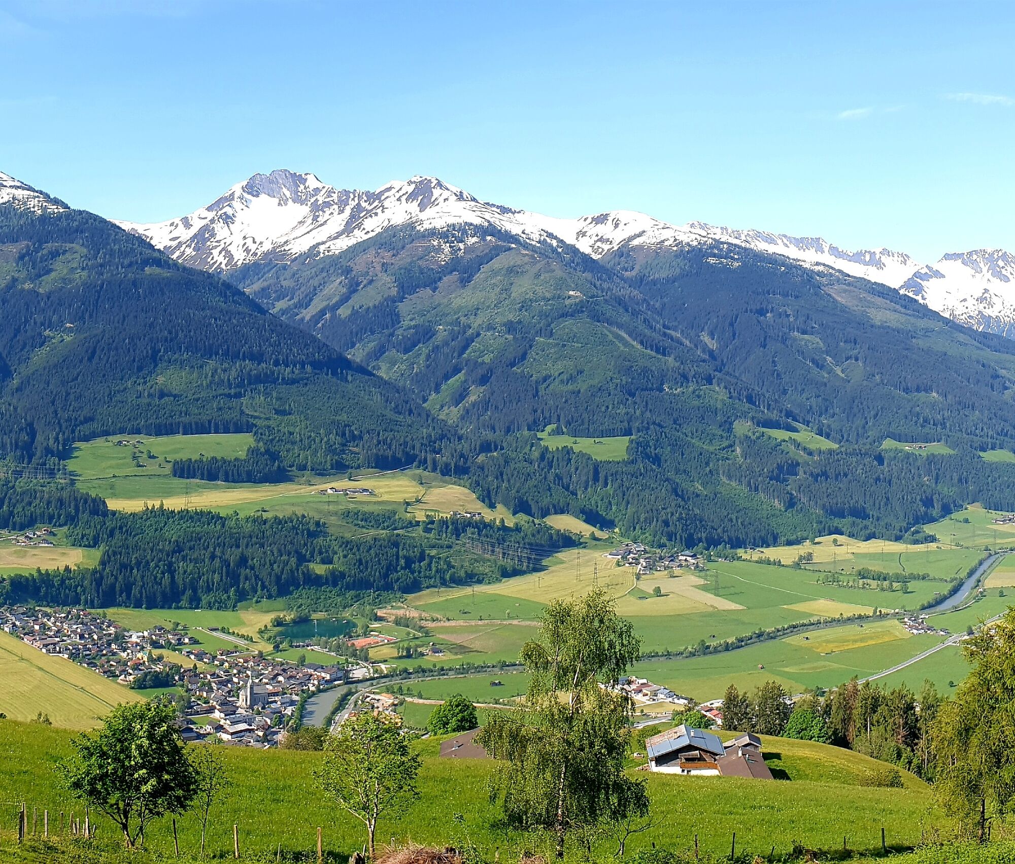
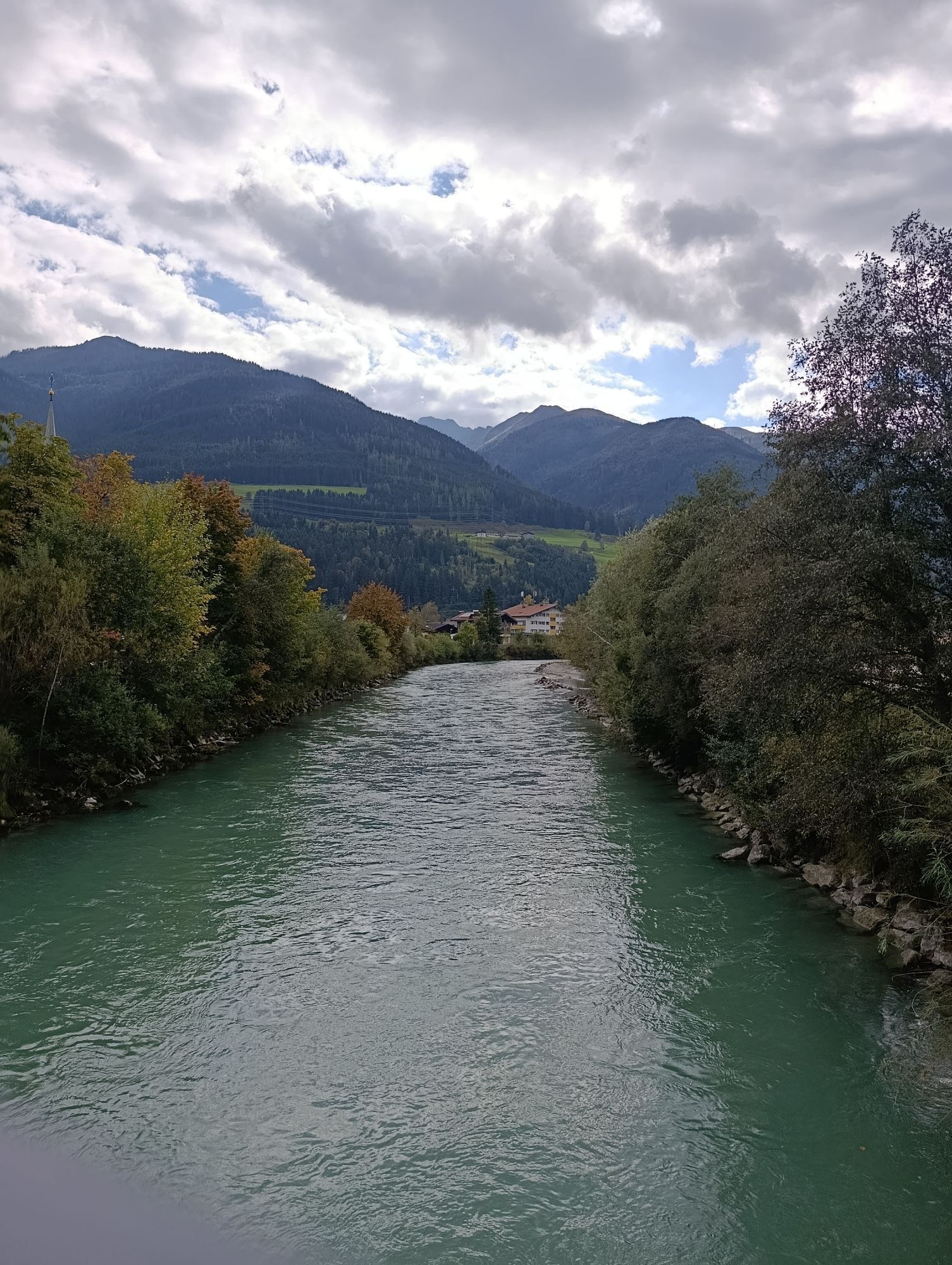
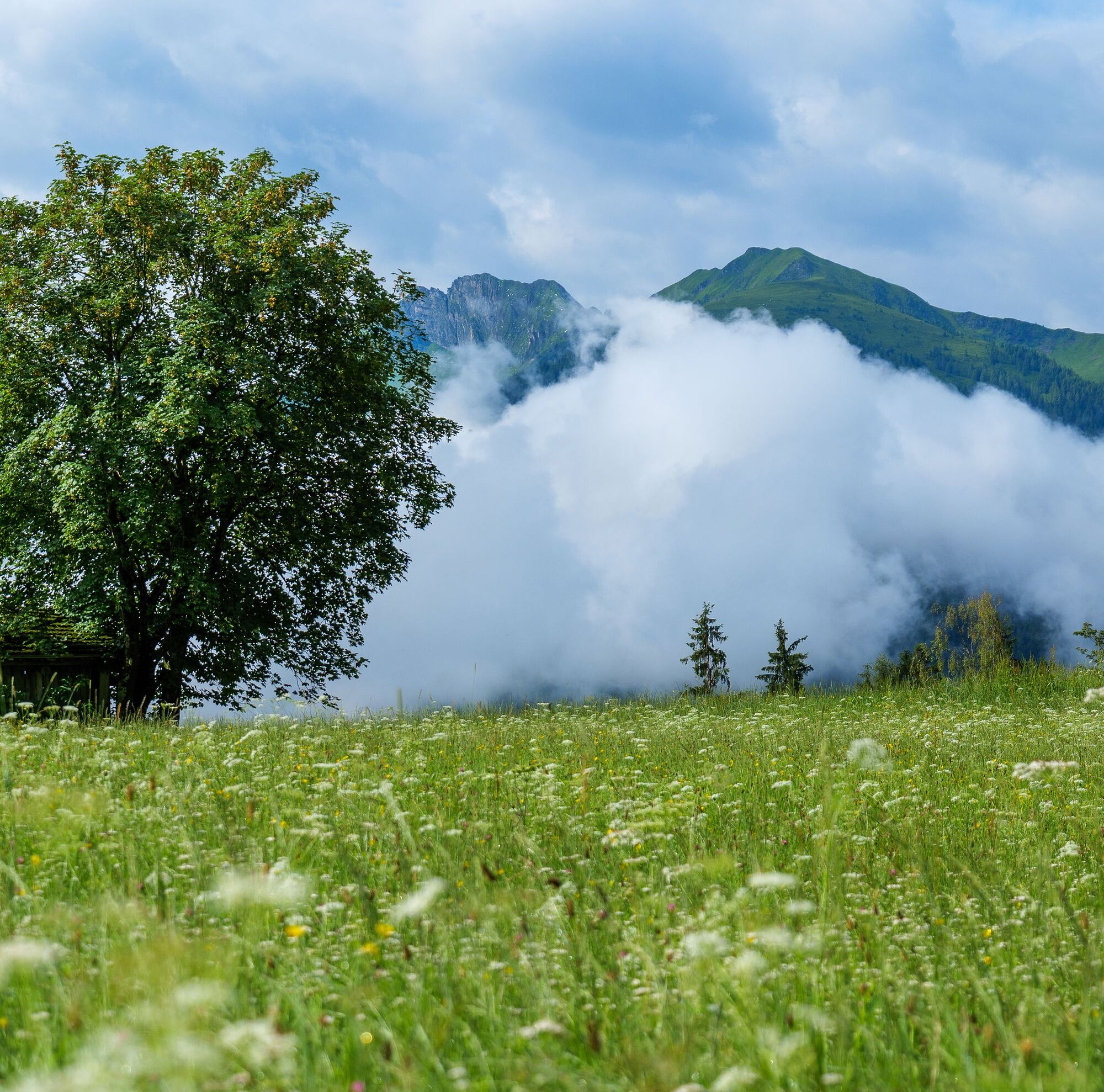
The Hochprack-Katzsteinalm-Runde offers a pure nature experience on the sunny side of Niedernsill and Piesendorf. Hairpin by hairpin, the trail winds its way up via Gaisbichl to Hochprack and continues along the forest road towards Röderlehen - always accompanied by the majestic panorama of the Hohe Tauern mountains. New this year is a rewarding detour to the serviced Katzsteinalm: a charming alpine hut in an idyllic location, perfect for a break with regional delicacies and stunning views. Afterwards, the route rejoins the Hochprackrund. A stop at the energy-boosting Naglköpfl power spot will recharge your spirits before heading back to Niedernsill via Walchen and the Tauern Cycle Trail.
Informacje o wycieczce
A mountain bike tour with stunning views and a rewarding detour to the serviced Katzsteinalm - perfect for sporty yet laid-back riders.
Technologia
n.d.
Stan
4 / 6
Krajobraz
4 / 6
Doświadczenie
4 / 6
Najlepsza pora roku
Sty
Lut
Mar
Kwi
Maj
Cze
Lip
Sie
Wrz
Paź
Lis
Gru
Udostępnij trasę
Mapa
9A, 10A Hochprack-Katzsteinalm-Runde
średni
Mountainbike
22,60 km
Błąd
Wystąpił błąd. Spróbuj ponownie.
Informacje o trasie
Trasa
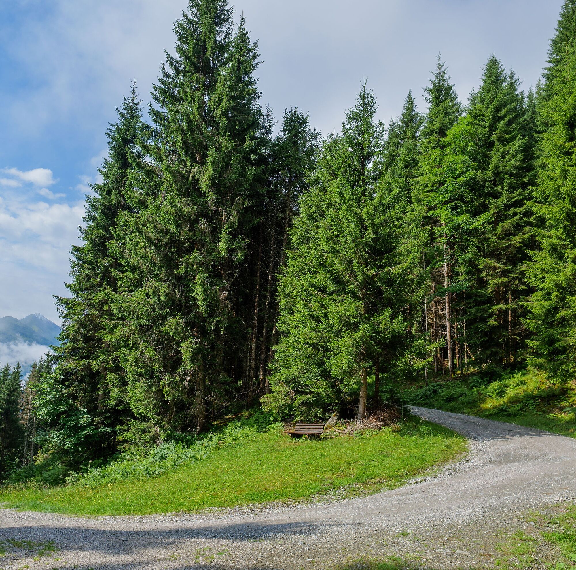
From the starting point in Niedernsill, follow the road to the roundabout and continue straight onto Steindorfer Straße. The climb leads via Gaisbichl up to the barrier at the Hochprack car park. After the barrier, keep straight at the fork and follow the forest road towards Röderlehen. After crossing the stream, a signposted detour to the left leads to the Katzsteinalm. After your well-earned break at the hut, return the same way to rejoin the main Hochprackrunde and continue towards Röderlehen. The route then heads over Rohrerberg, past the Naglbauer, and descends into the valley towards Walchen. From there, a relaxed ride along the Tauern Cycle Trail takes you back to Niedernsill.

Shortened version without Katzsteinalm: via Gaisbichl - Gitschen - Naglbauer - Walchen (see bike map).

Sprzęt
Helmet, sufficient water, sun protection and a repair kit.

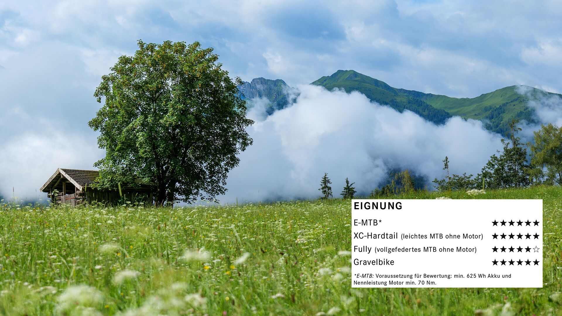
Suitable for the following bike types: 

E-MTB* ⭐️⭐️⭐️⭐️⭐️⭐️ from 6* XC hardtail (lightweight mountain bike without motor) ⭐️⭐️⭐️⭐️⭐️⭐️ from 6* Full-suspension mountain bike (without motor) ⭐️⭐️⭐️⭐️⭐️ from 6* Gravel bike ⭐️⭐️⭐️⭐️⭐️⭐️ from 6*

*E-MTB: Rating based on the following requirements: minimum 625 Wh battery capacity and motor torque ot at least 70 Nm.

Instrukcje bezpieczeństwa
‼️ Use of the designated and approved routes/trails is permitted only from 1 MAY to 15 NOVEMBER and exclusively during the following times: 1 May to 31 August from 7 am to 7 pm in September from 8 am to 6 pm 1 October to 15 November from 9 am to 5 pm

🚫 Always stay on the marked trails!

🚯 Take a litter with you and do not leave anything in nature. 

Only through mutual respect can we preserve the forest and alpine pastures as places of recreation, natural habitat and workplaces. Your behaviour shapes public tolerance and acceptance - ride responsibly!

Informacje o przyjeździe
Przybycie
🚵 By bike via the Tauern Cycle Path Niedernsill is easily accessible via the Tauern Cycle Path from Mittersill as well as from Piesendorf and Zell am See-Kaprun.
Transport publiczny
🚞 By train: Travel with the Pinzgauer Lokalbahn is possible. Bicycles can be transported on the route between Zell am See and Mittersill from 1 May to 30 September - advance booking is required by 2 pm the day before at tel. +43 6562 40600 👉 Timetable information here

🚌 By bus: Bicycles cannot be transported on regional buses.

Parking

There are plenty of parking options available in the village centre.

Dodatkowe informacje i wskazówki
Dodatkowe informacje
🚴‍♂️ Bike suitability: The Hochprack-Katzsteinalm-Runde features a high proportion of tarmac and smoothly rideable gravel roads without rough sections. It is ideal for e-mountain bikes and XC riders looking for a steady and flowing tour. The route is also very well suited to gravel bikes and perfect for sporty, more ambitious rides. Full-suspension mountain bikes are suitable, although they offer little additional advantage on this terrain.

Free tour app "Piesendorf Niedernsill erleben" 

📲 Google Play Store

📲 App Store

Oder auch unter piesendorf-niedernsill.at

Wskazówki

Please note the opening times of the Katzsteinalm 🏔️ June & September: open on Saturdays and Sundays | July & August: open from Friday to Sunday

Nie ma jeszcze recenzji
Napisz recenzję

Recenzje pomagają innym użytkownikom wybrać kolejną przygodę. Oceniaj tylko trasę, a nie pogodę lub przekąskę.

Wybierz jedną z gwiazdek, aby ocenić wycieczkę
Zła trasa
Słaba trasa
Przeciętna wycieczka
Dobra wycieczka
Doskonała wycieczka
bergfex logo Uzyskaj wgląd Zawsze na żywo z ponad 9 500 kamer internetowych. bergfex Jako użytkownik Pro, możesz teraz zobaczyć odpowiednie kamery internetowe dla wielu wycieczek w aplikacji wycieczki od. Pozwala to na bezpośredni podgląd aktualnych warunków.
Wędrówki i tropienie

Wędrówki i tropienie

Wędrówki i tropienie
Ponad 550.000 propozycji wycieczek, szczegółowe mapy i intuicyjny planer tras sprawiają, że aplikacja jest niezbędna dla wszystkich entuzjastów przyrody.
bergfex