



Tour de Champions in Austria's largest bike region Saalbach Hinterglemm Leogang Fieberbrunn

Poziom trudności: S2
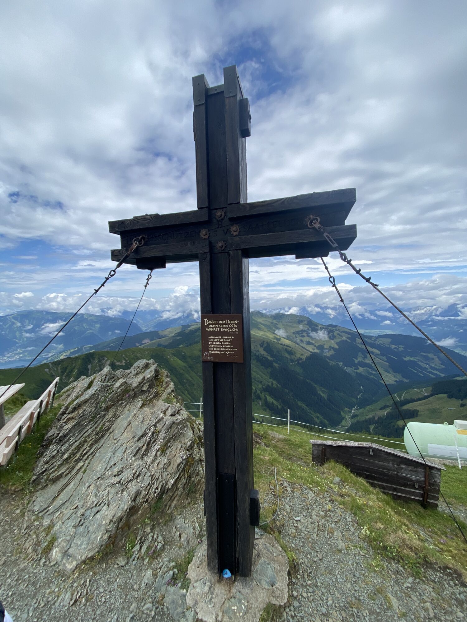
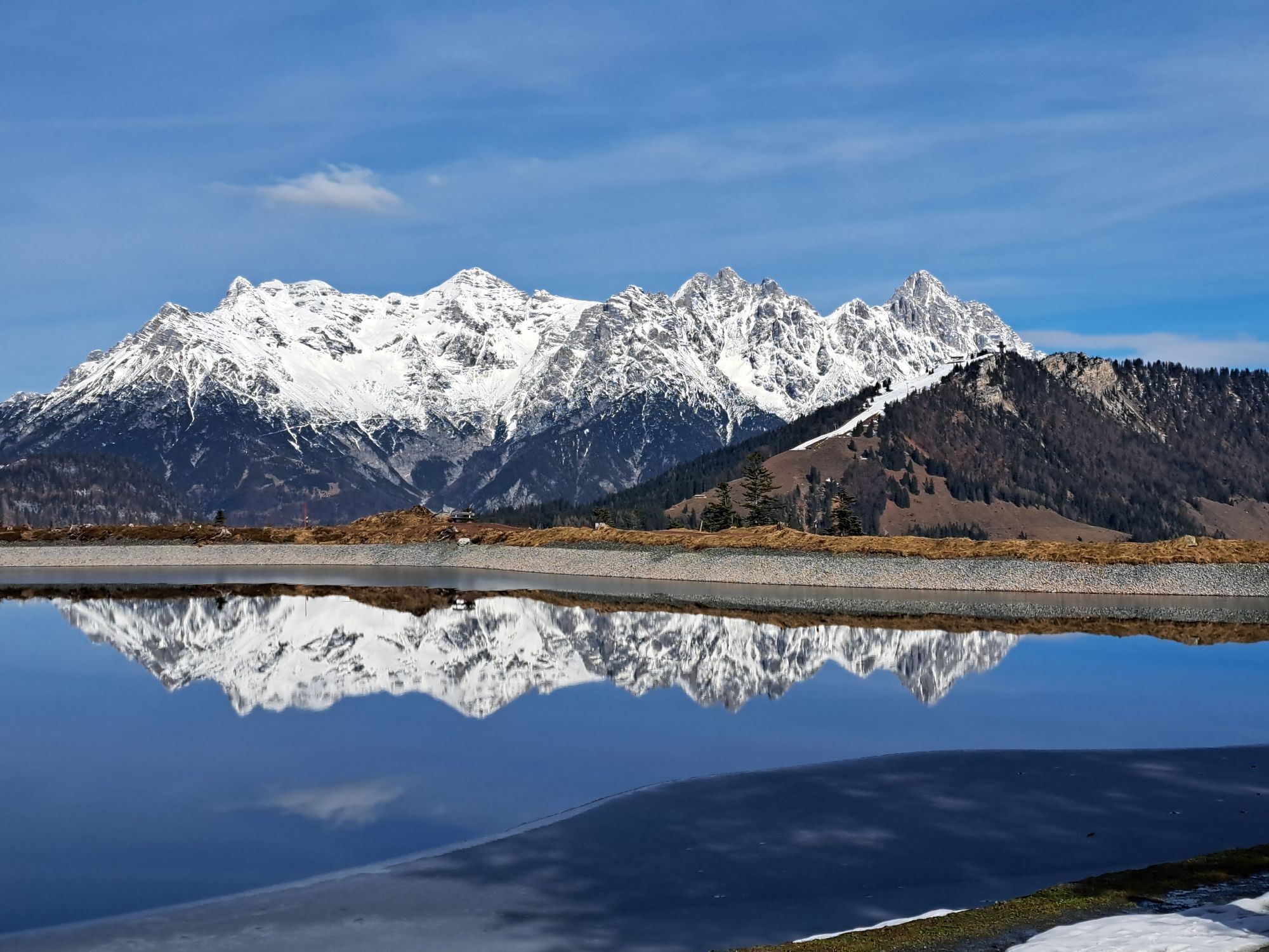
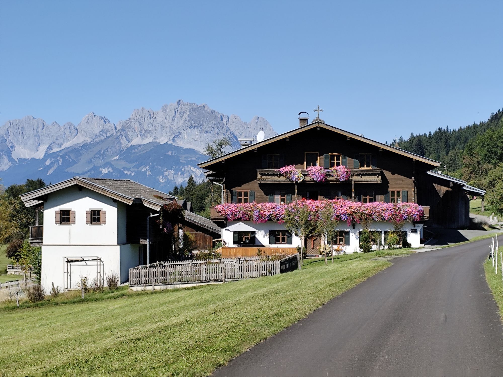
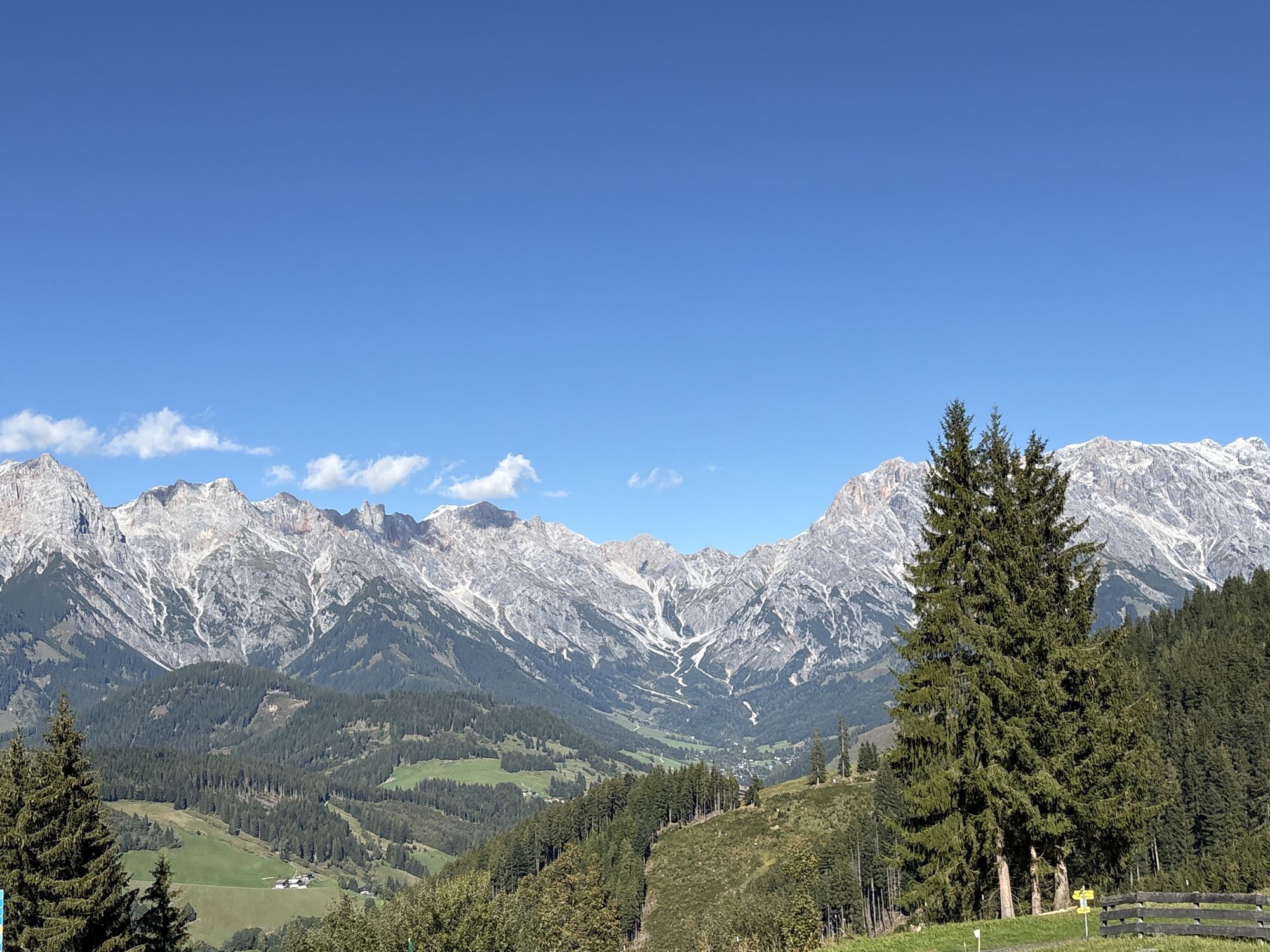
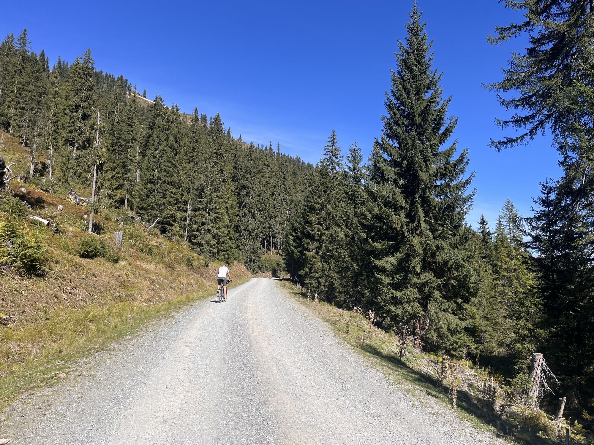
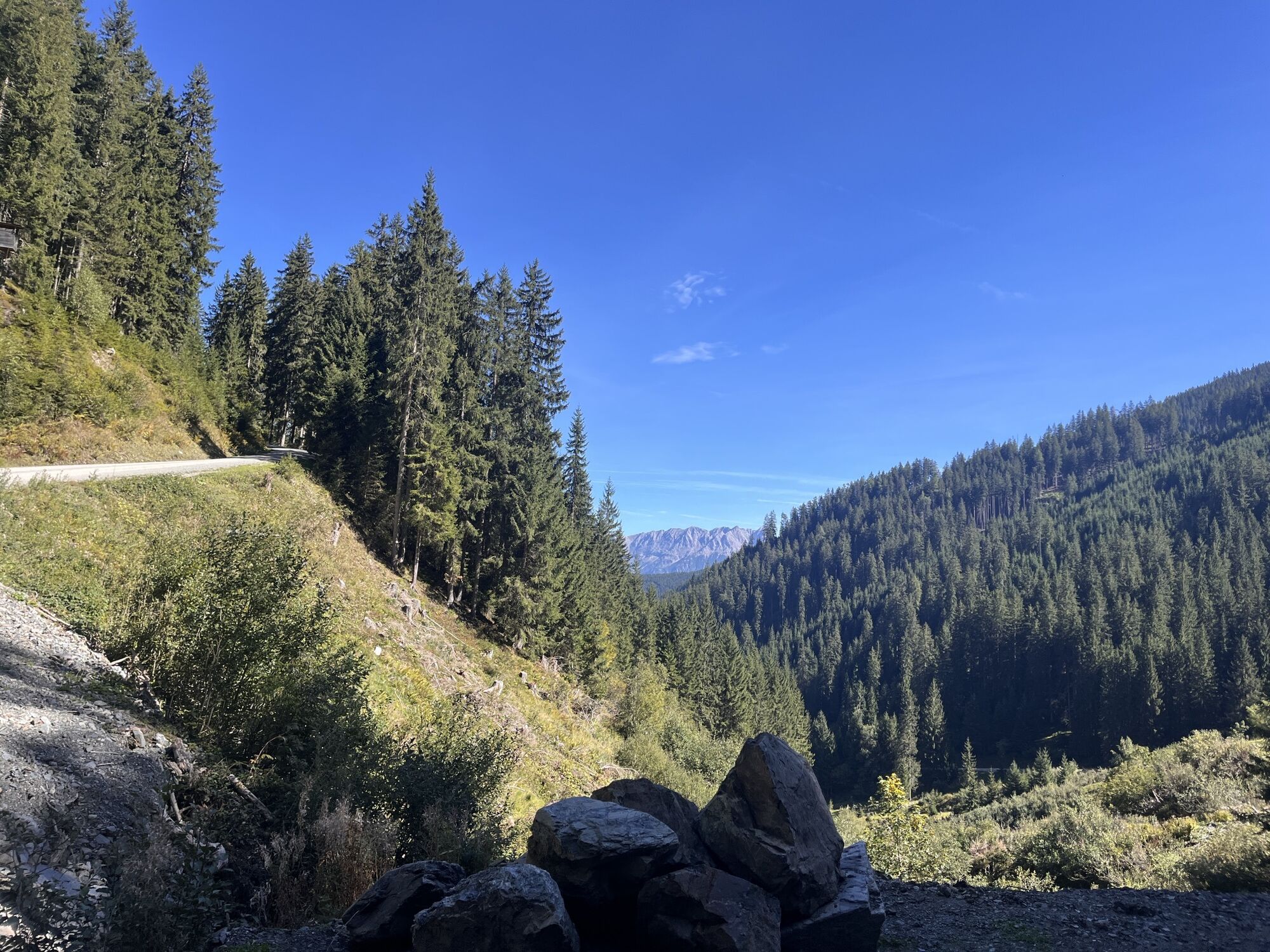
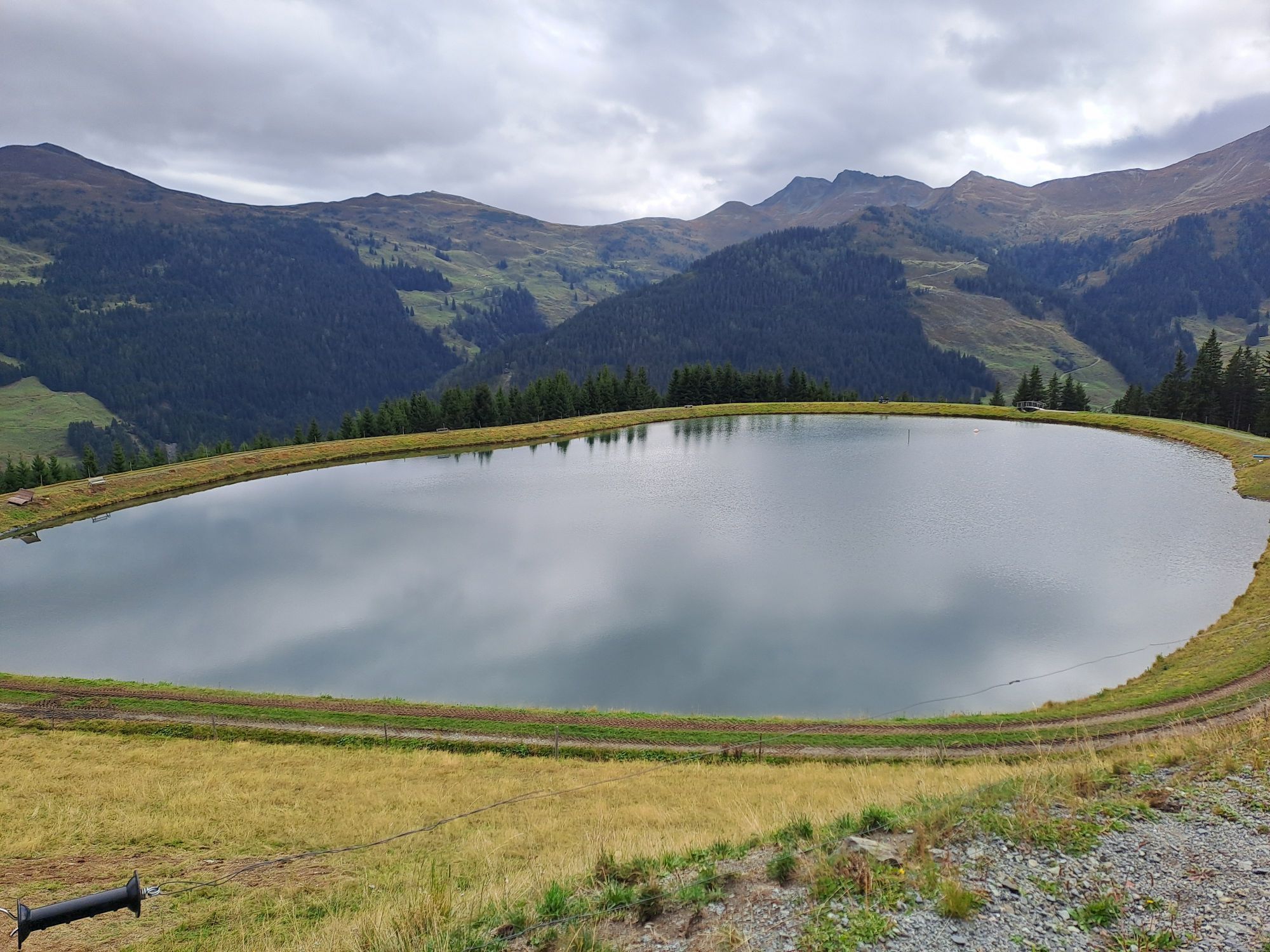
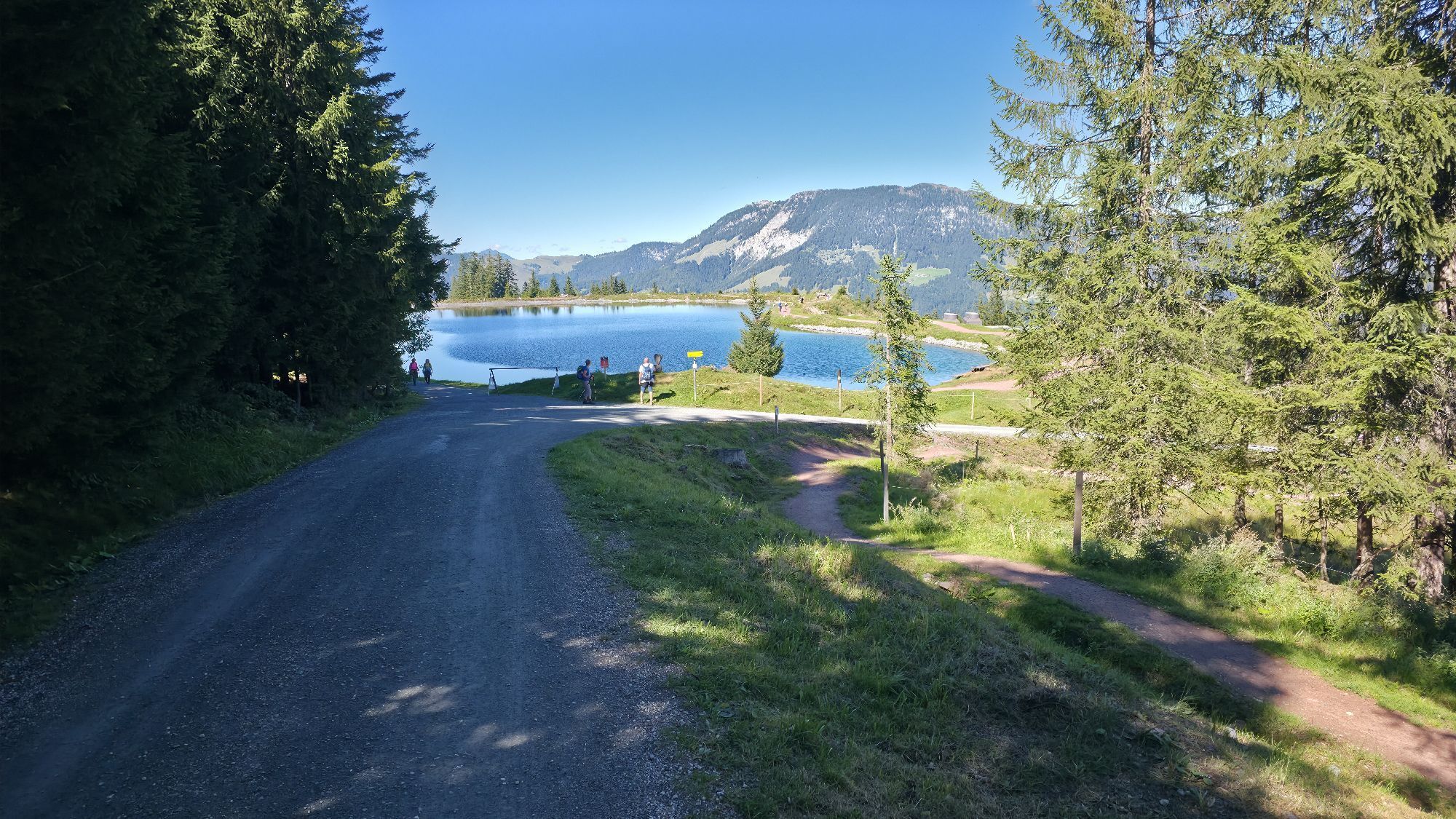
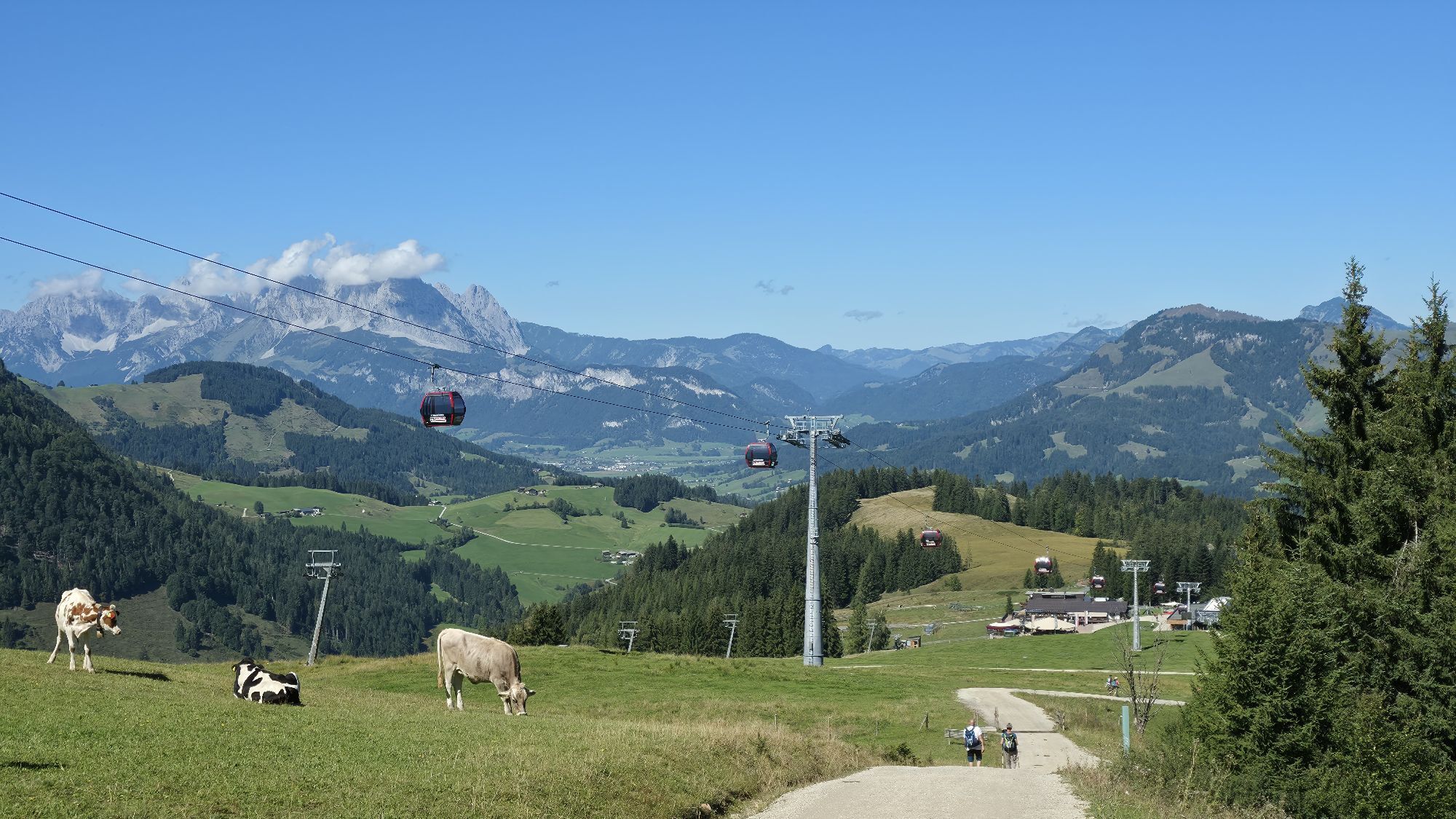
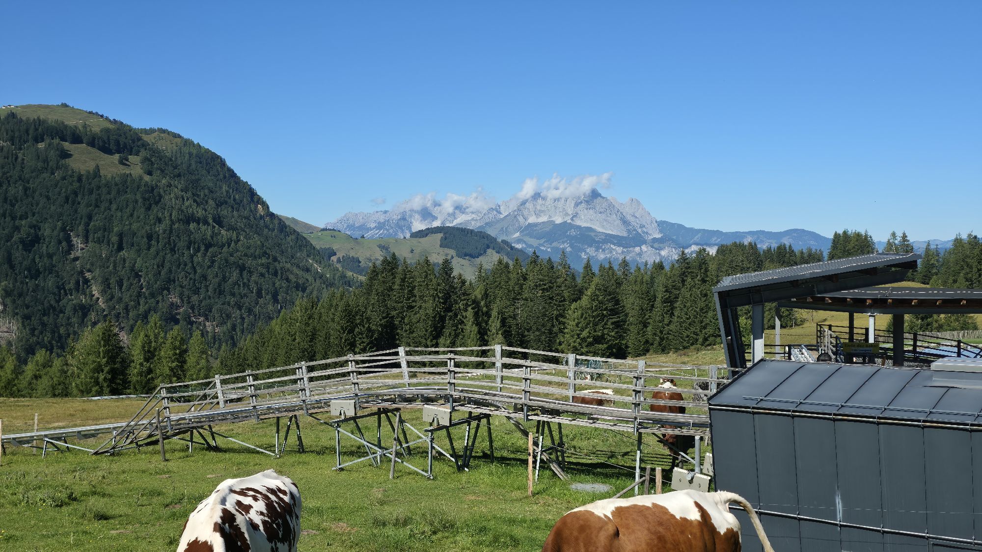
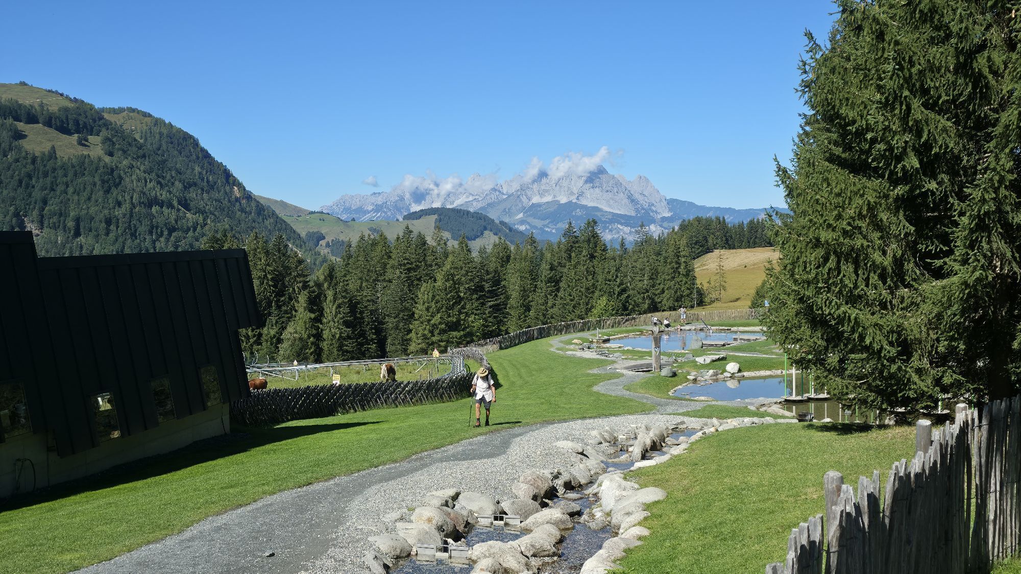
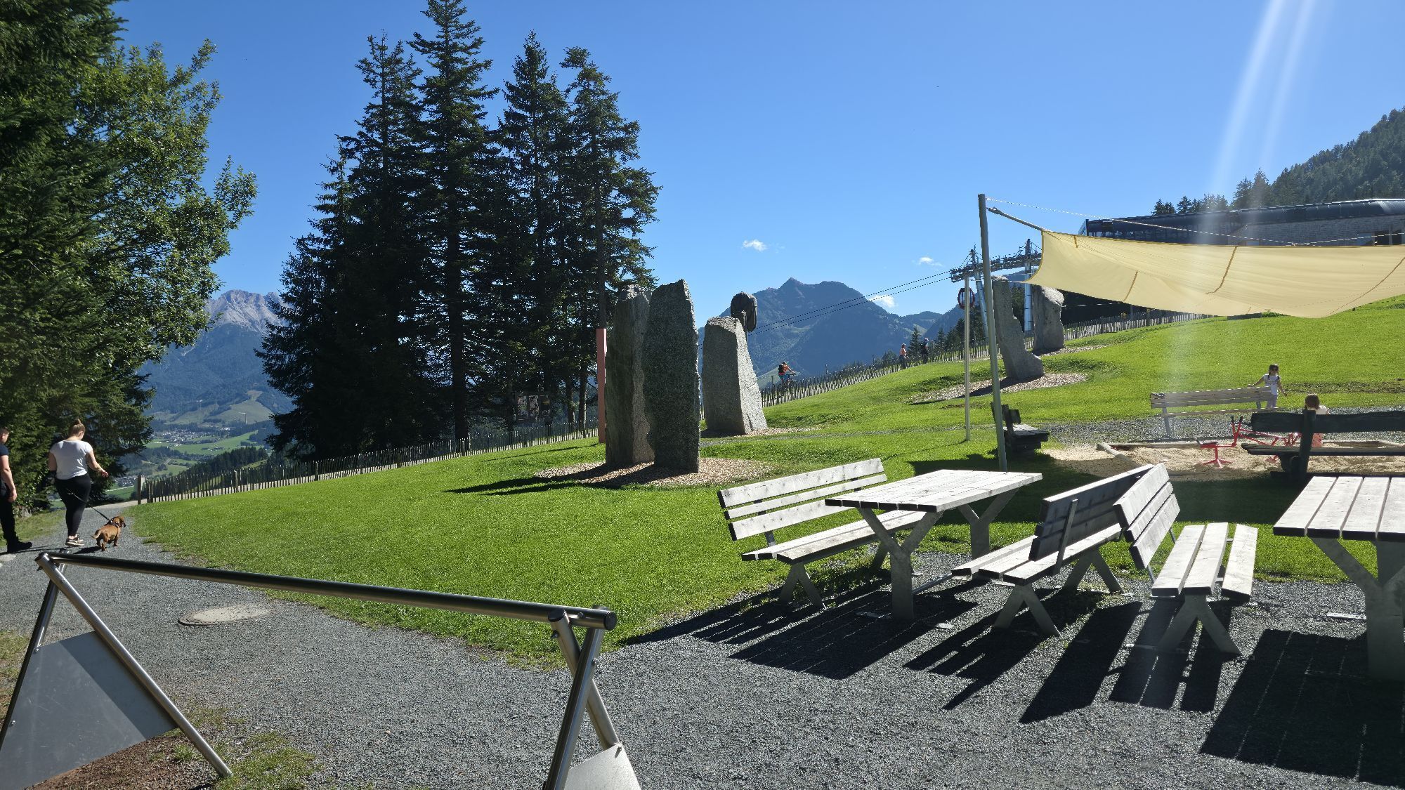
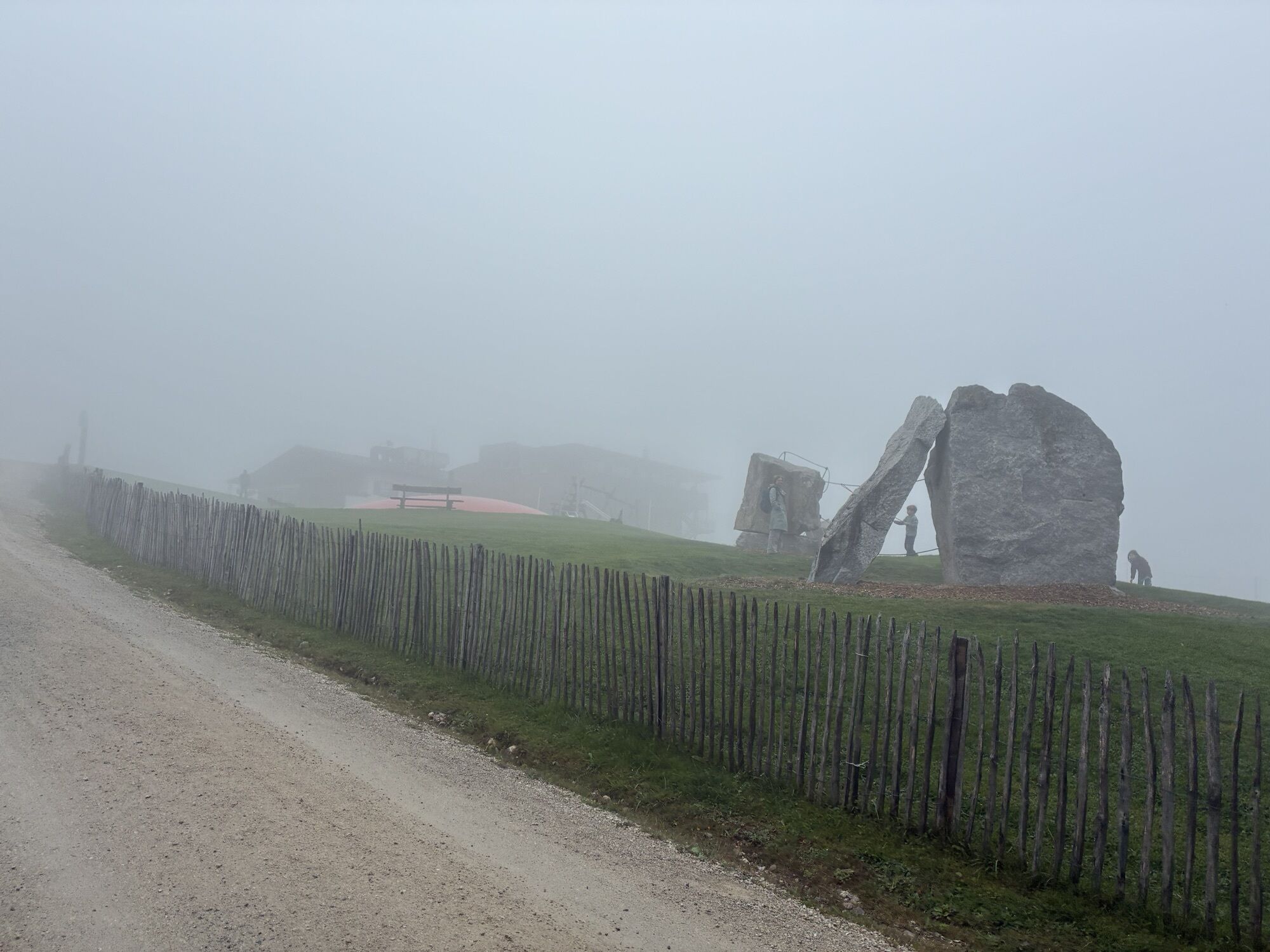
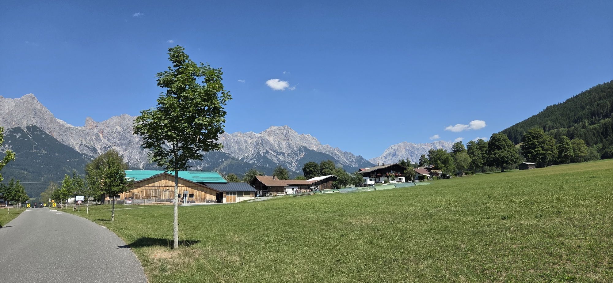
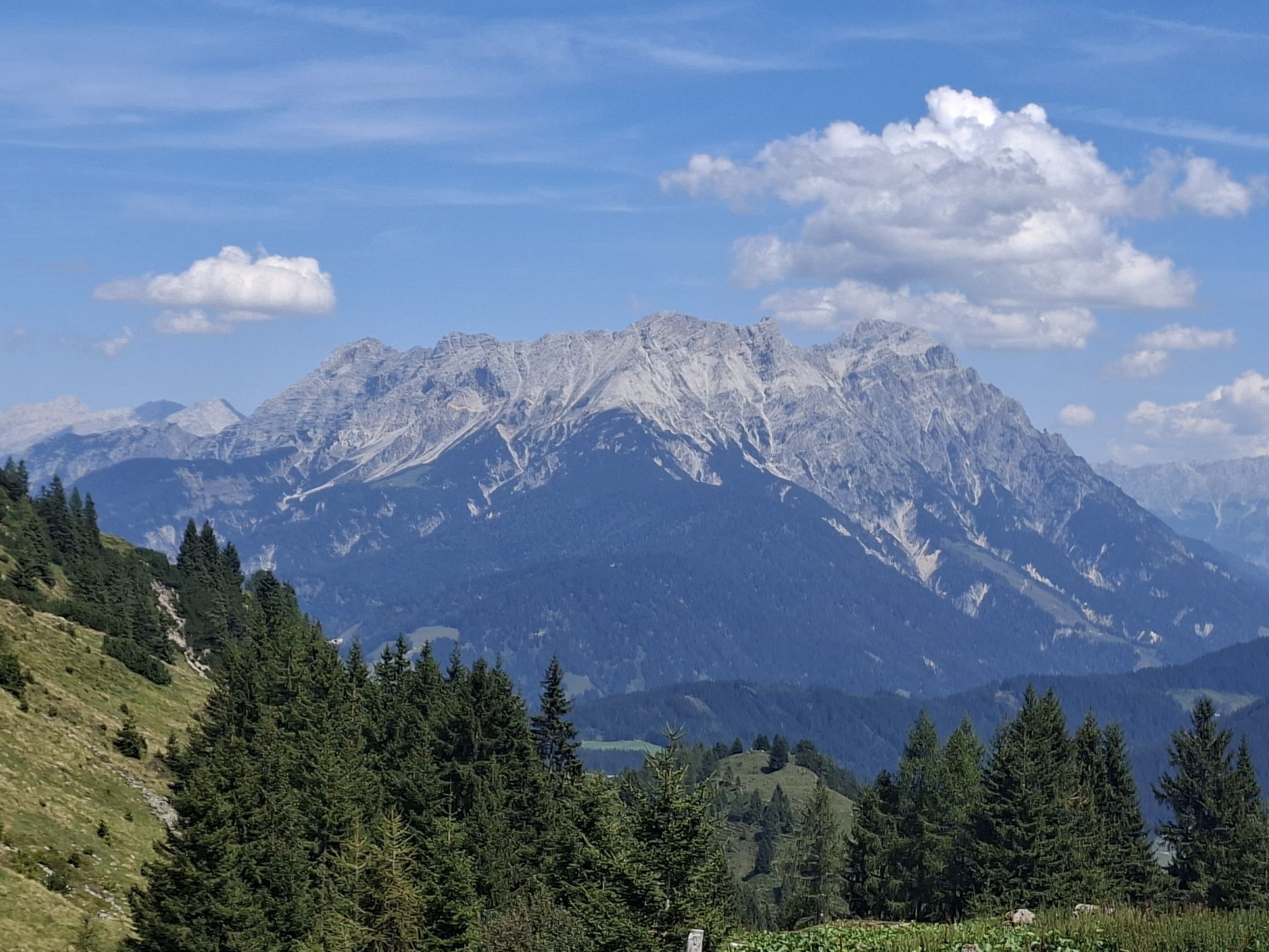
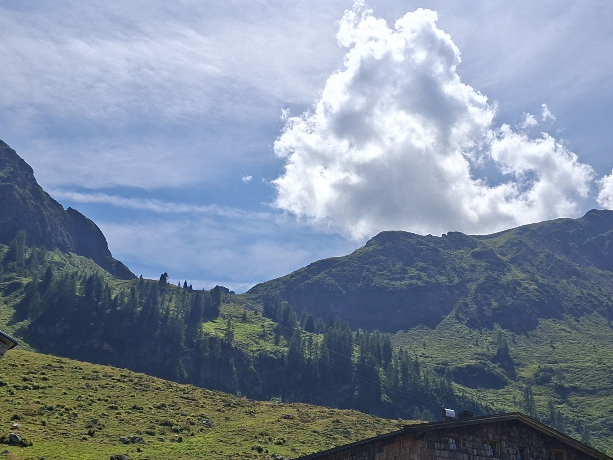
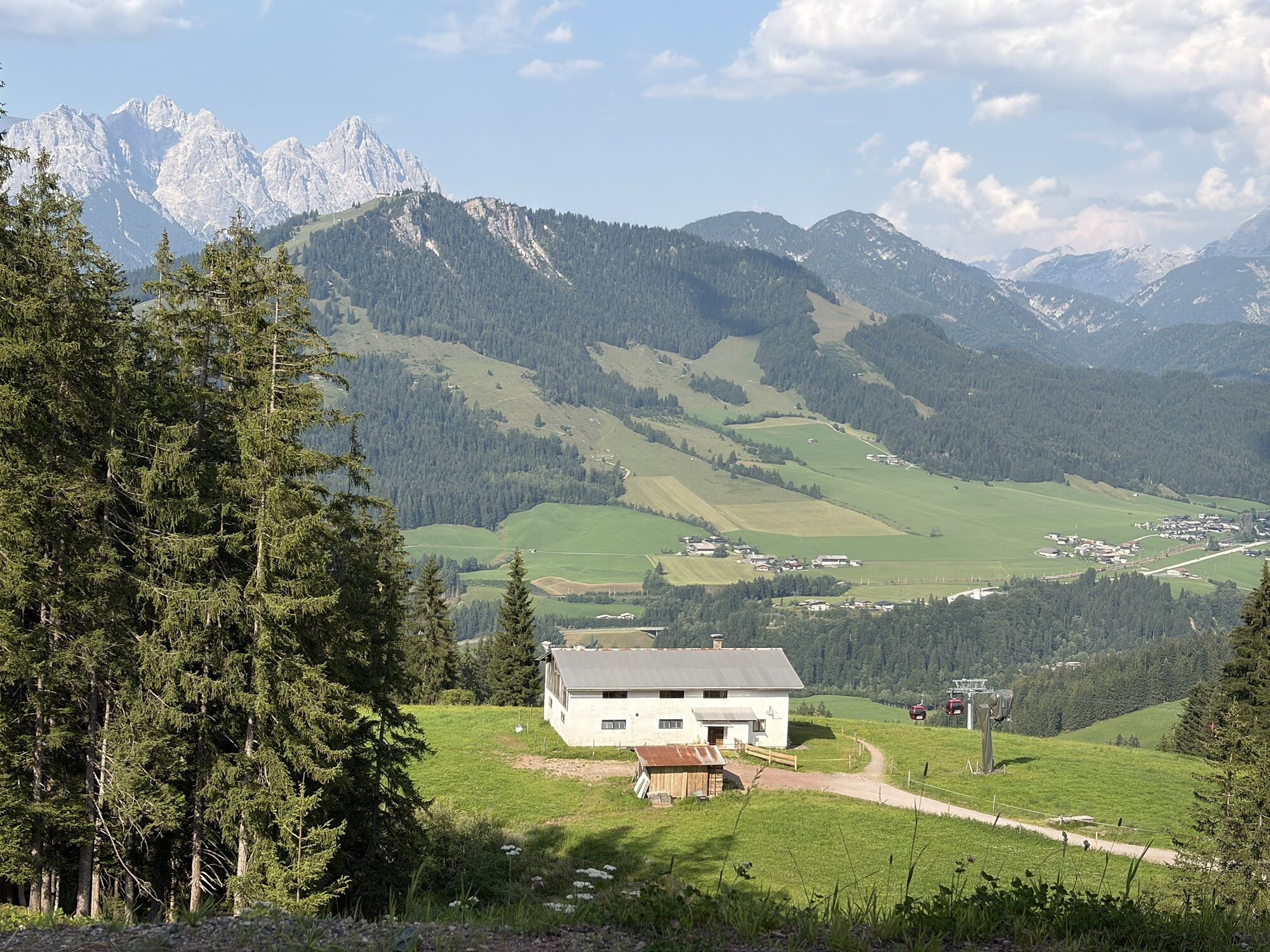
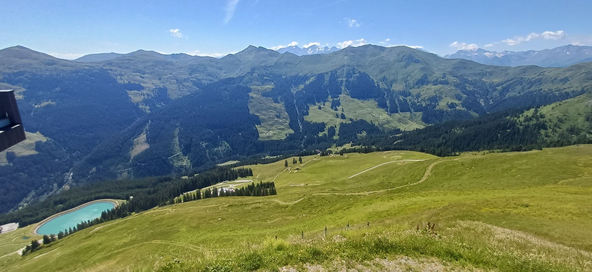
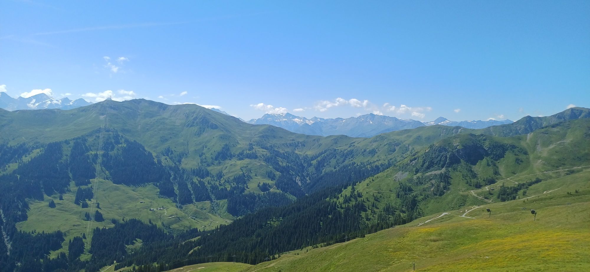
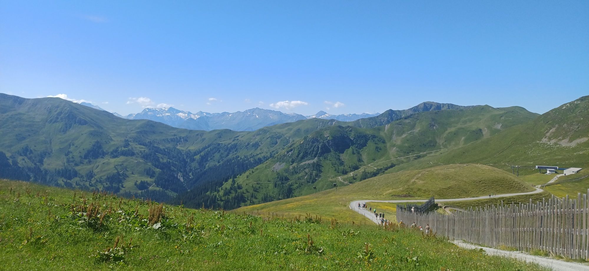
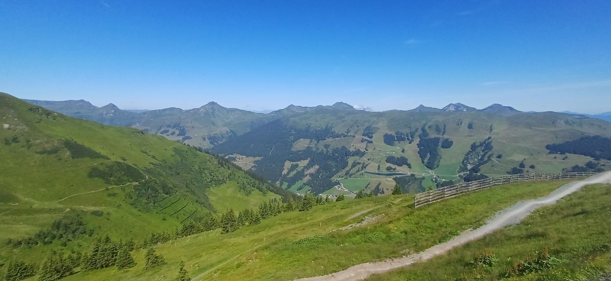


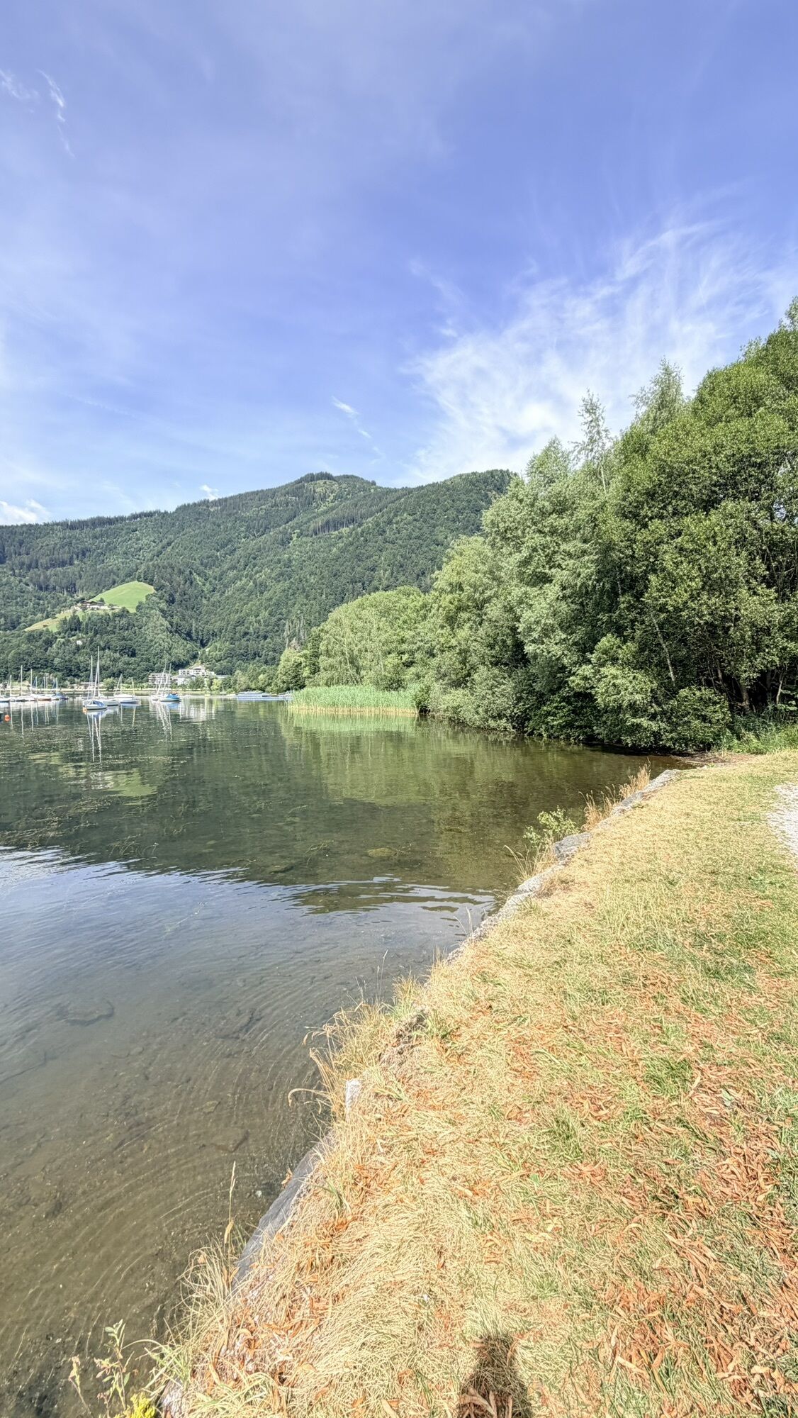

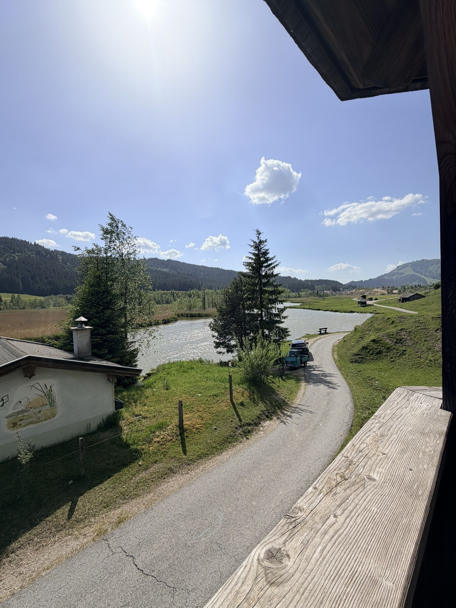
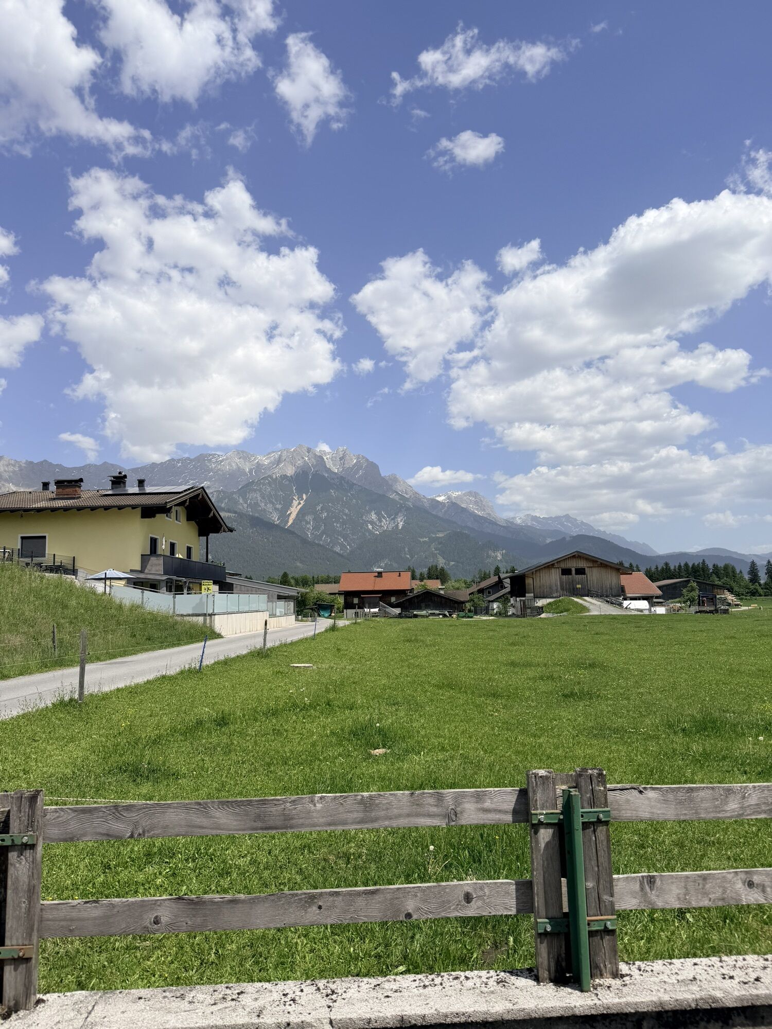
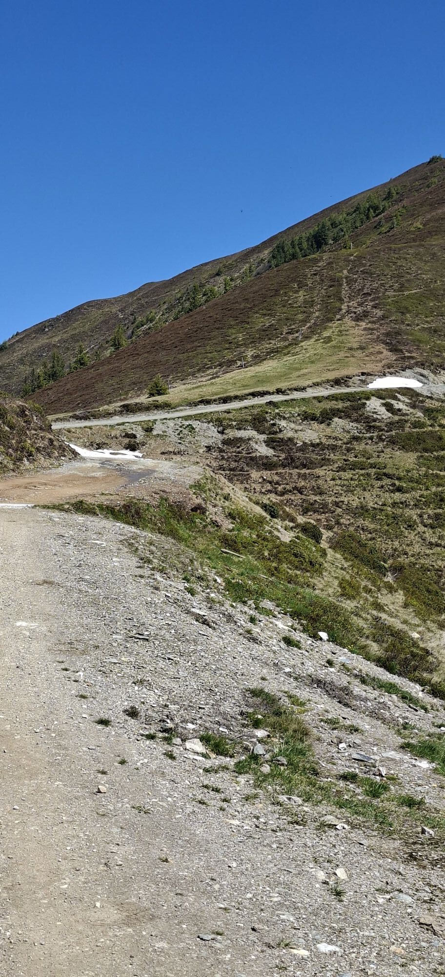
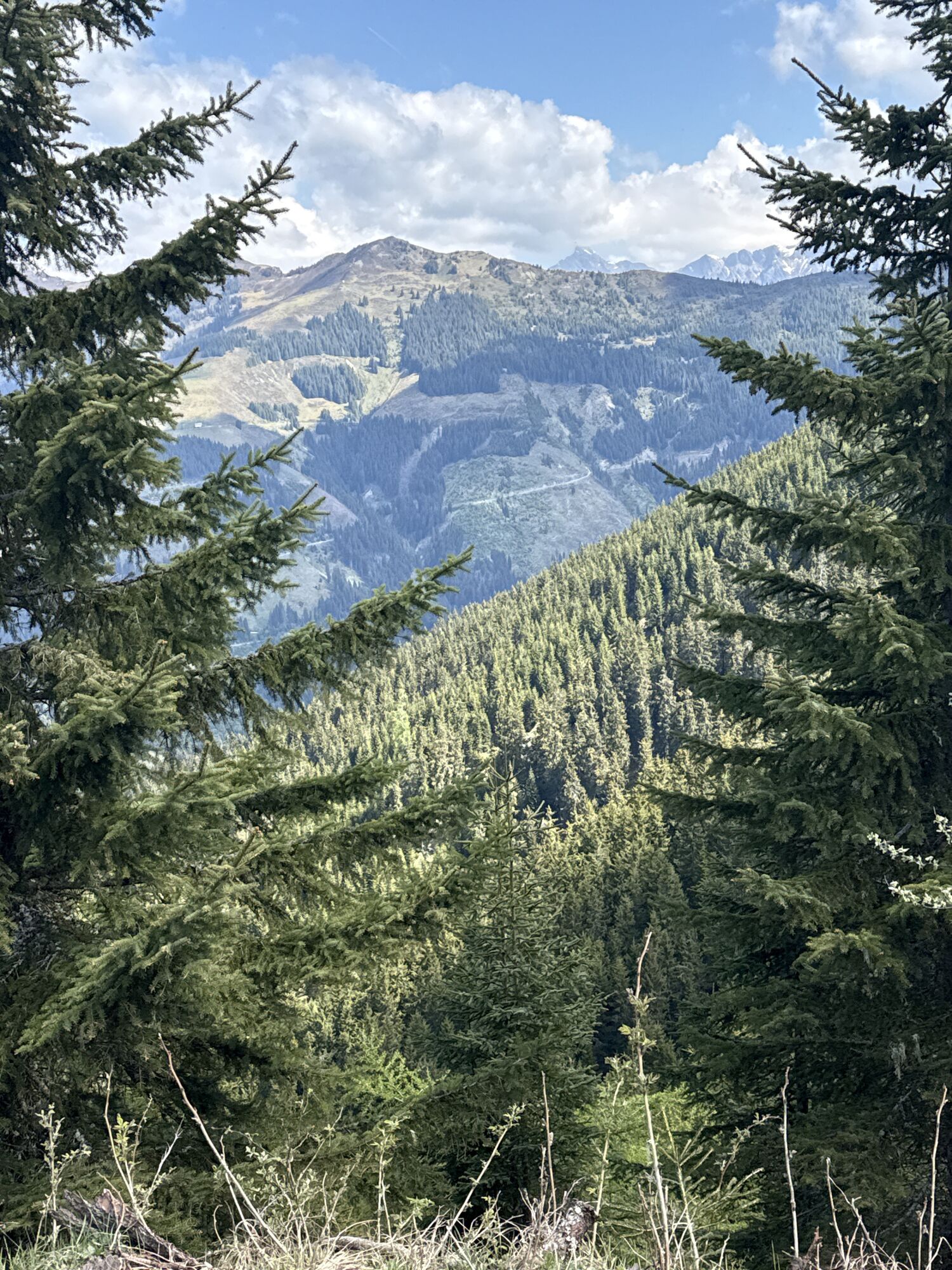
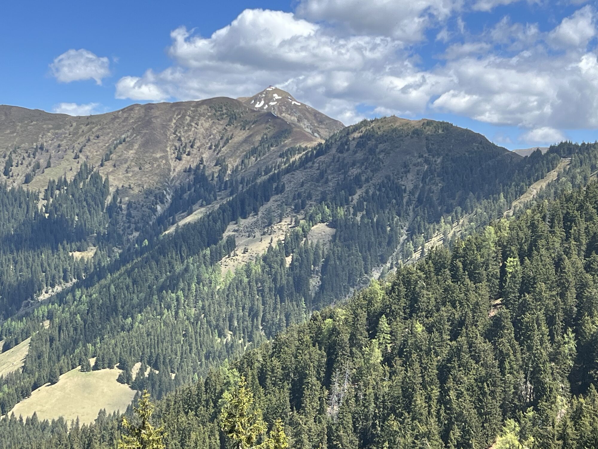
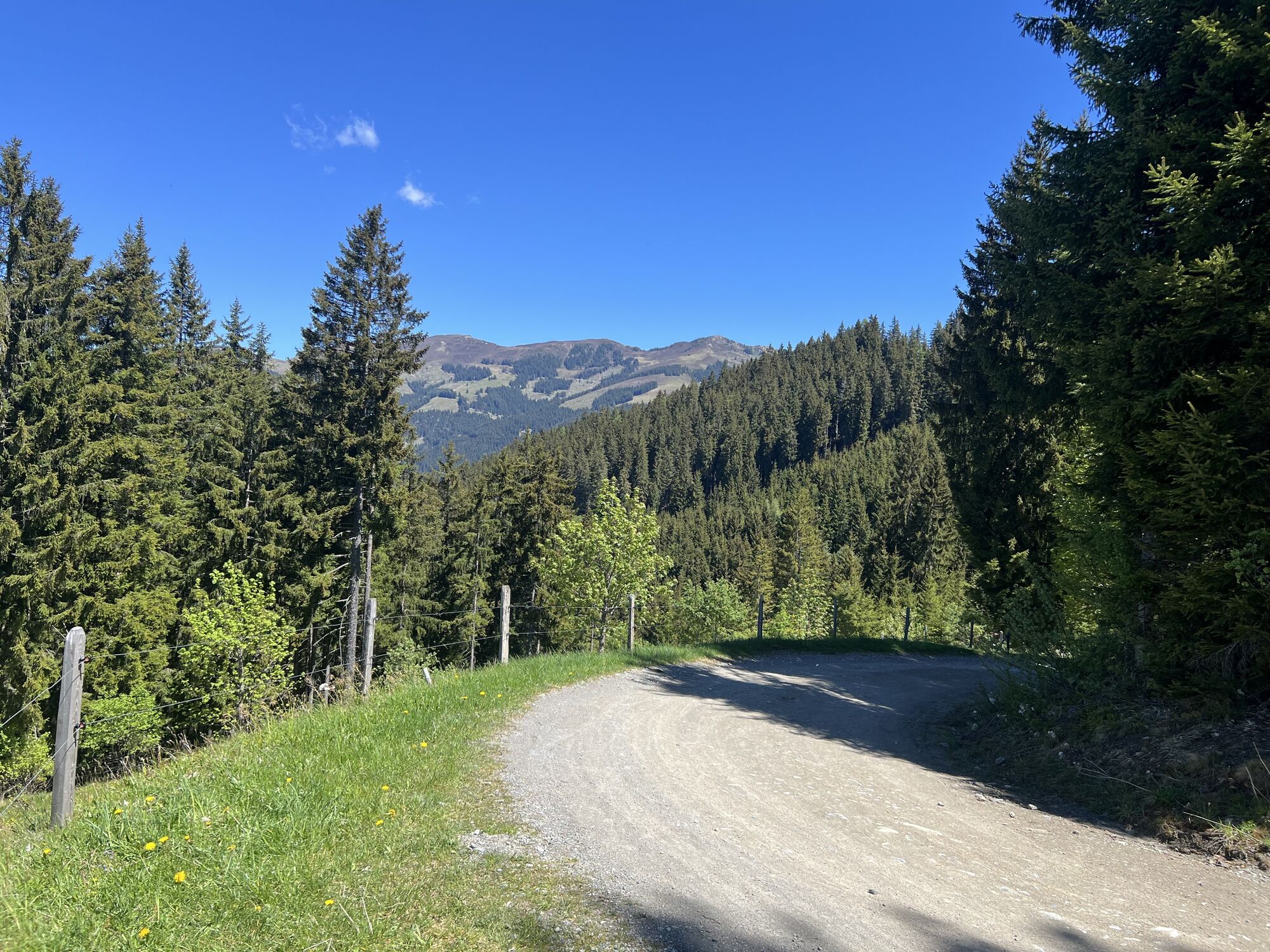
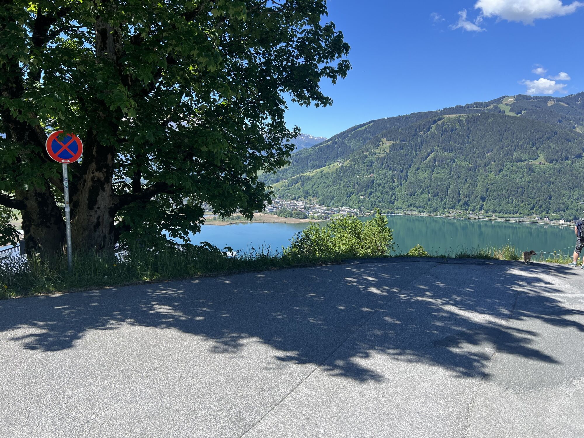


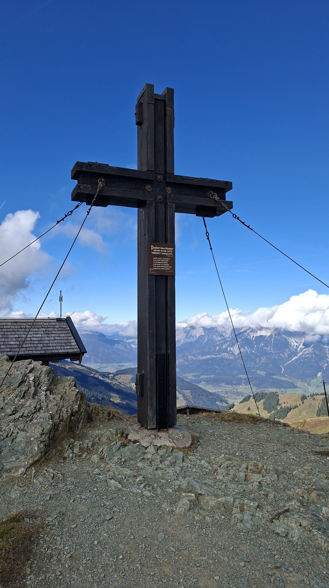
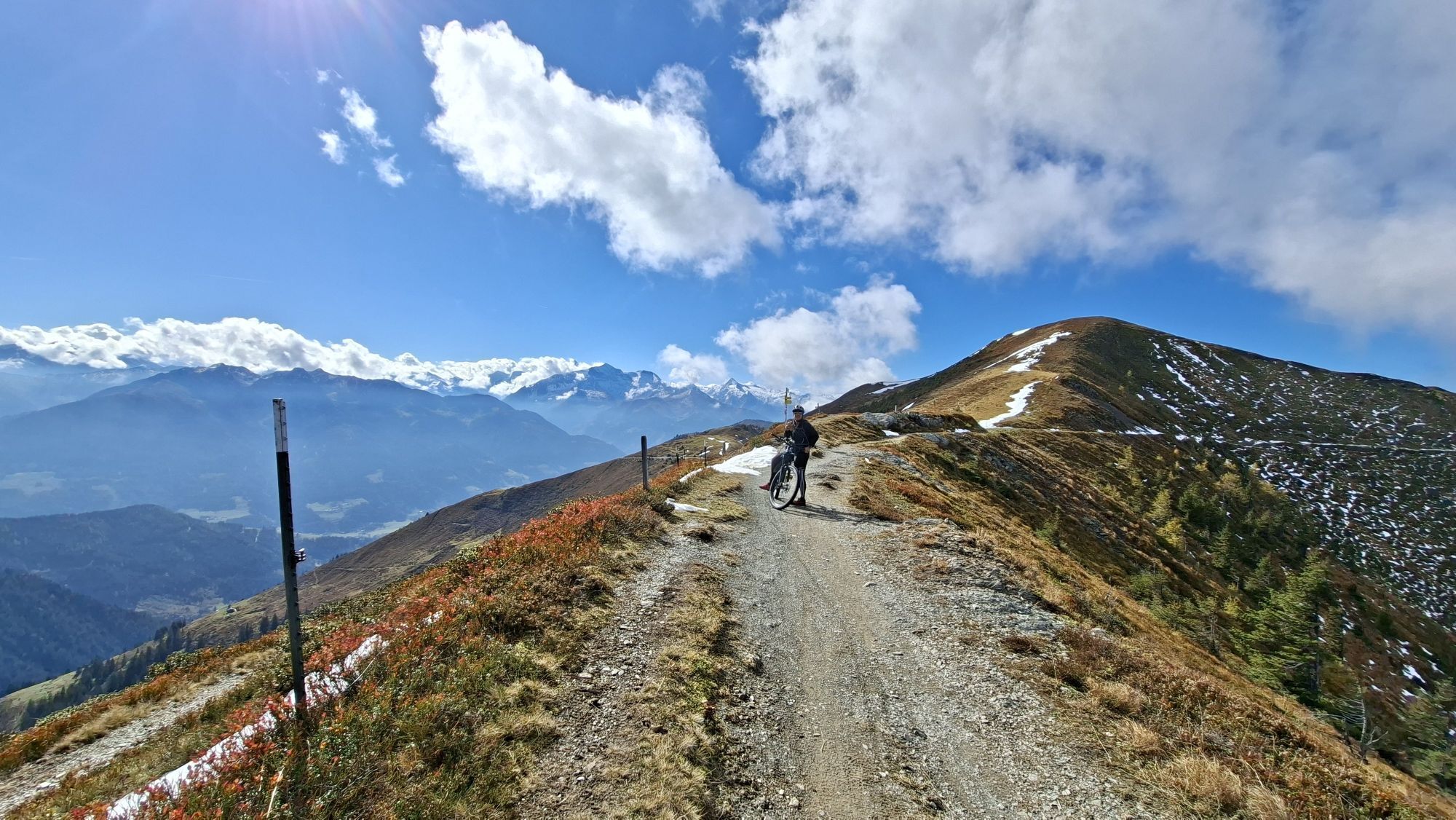
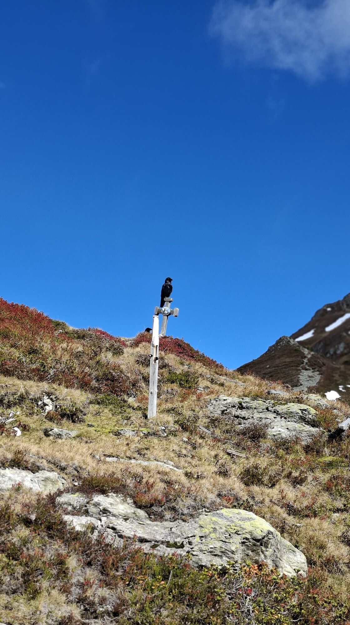
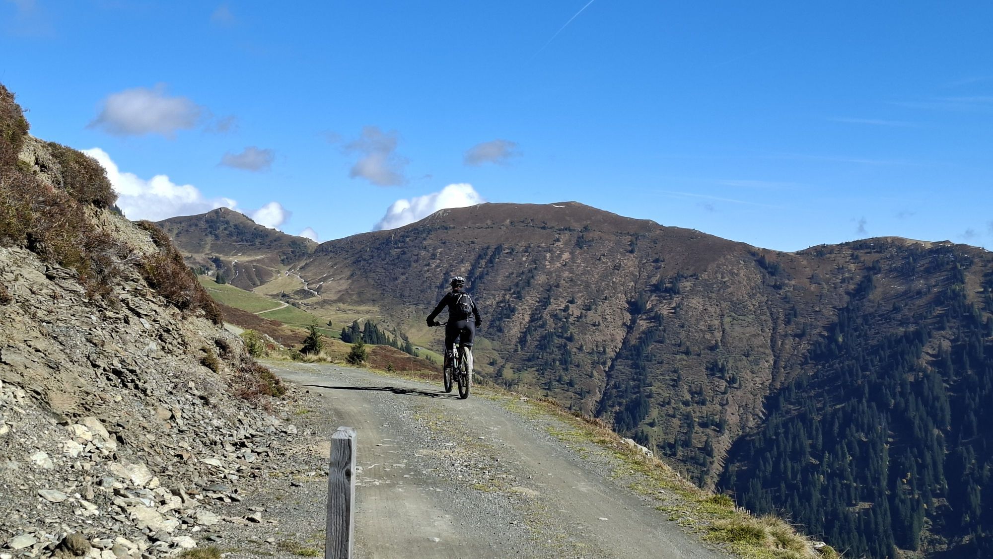
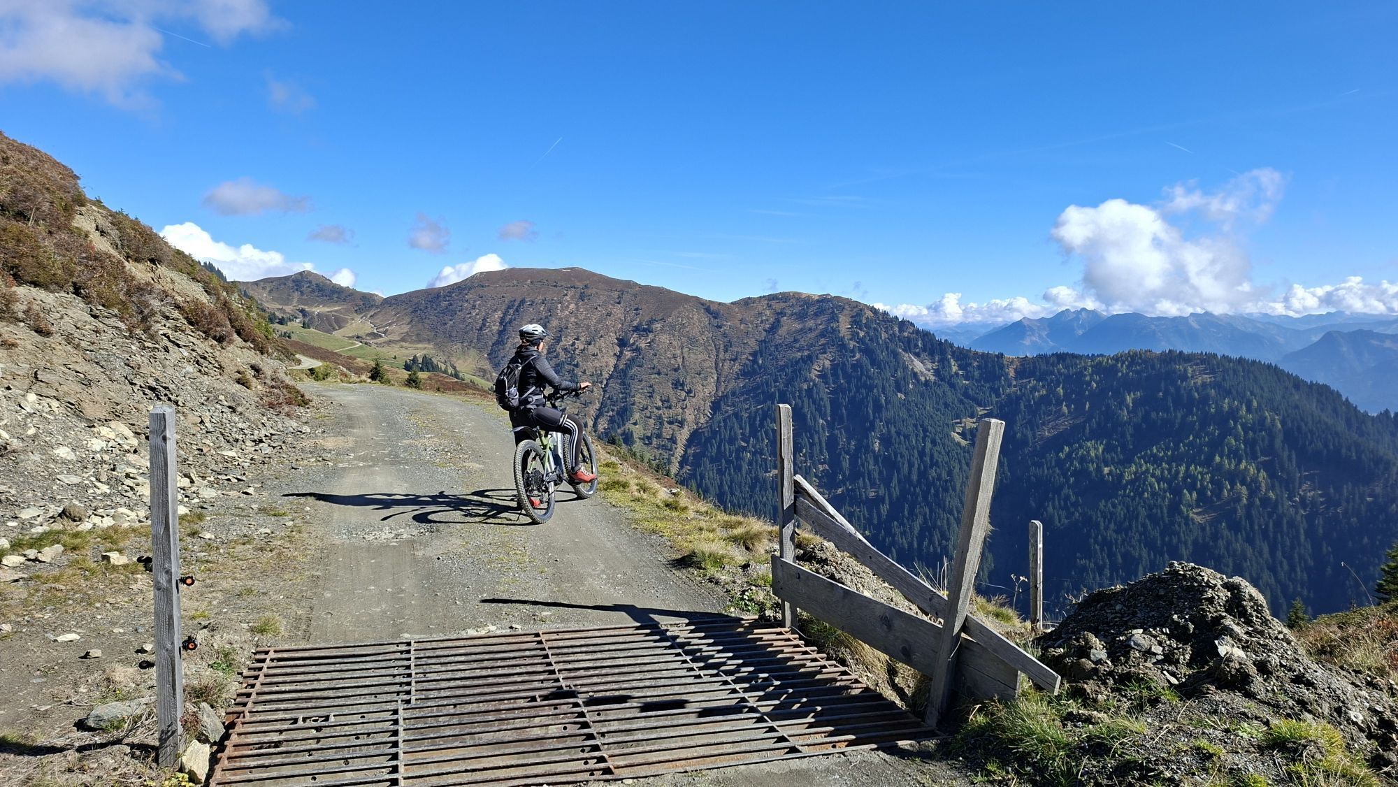

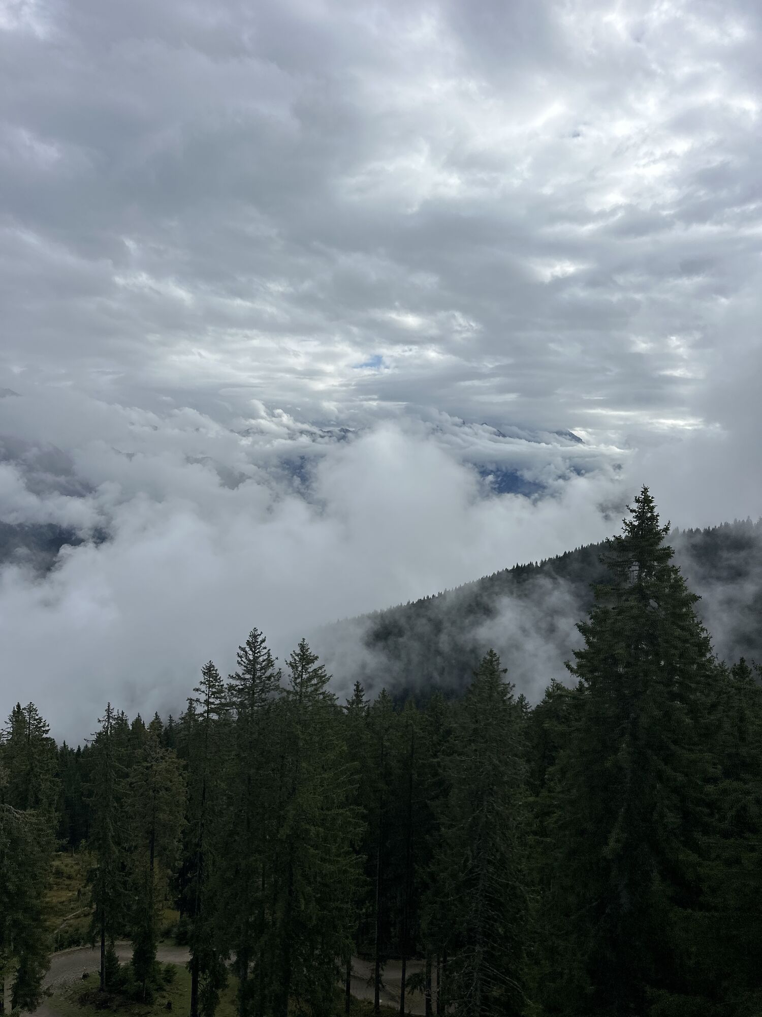
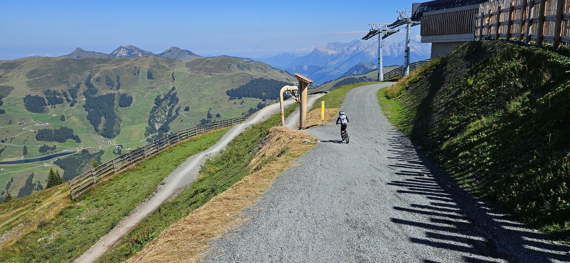
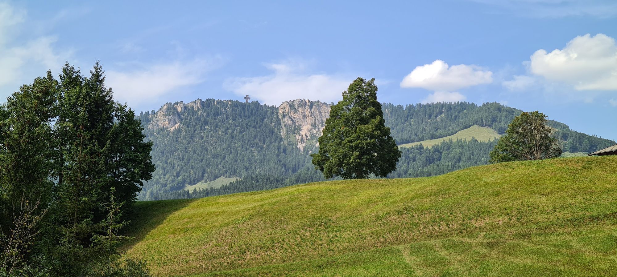
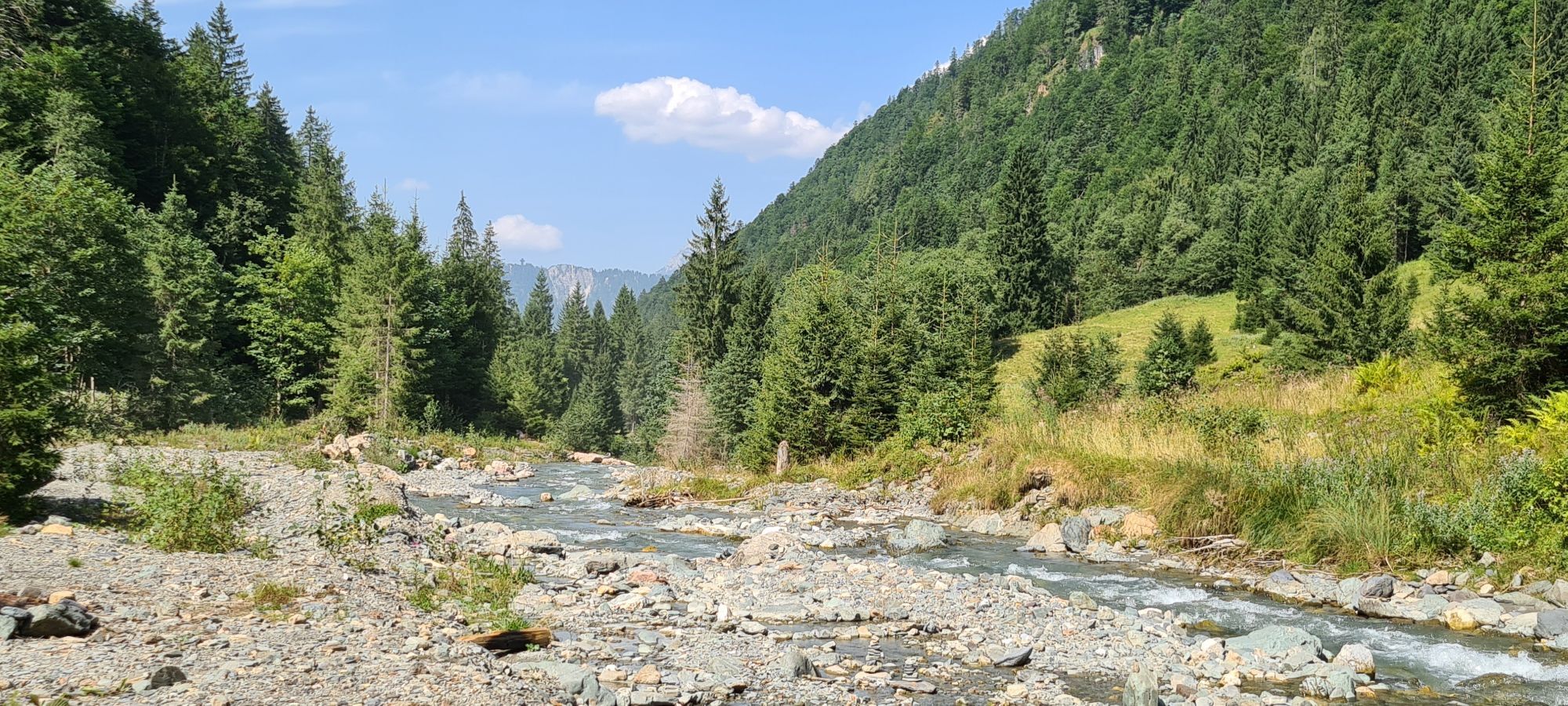
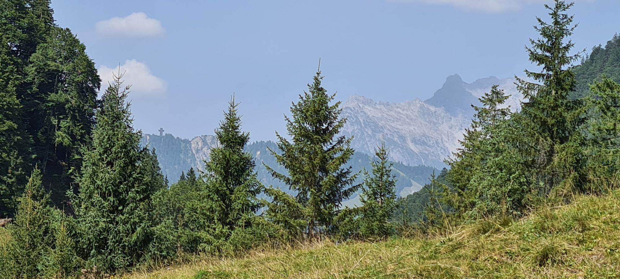
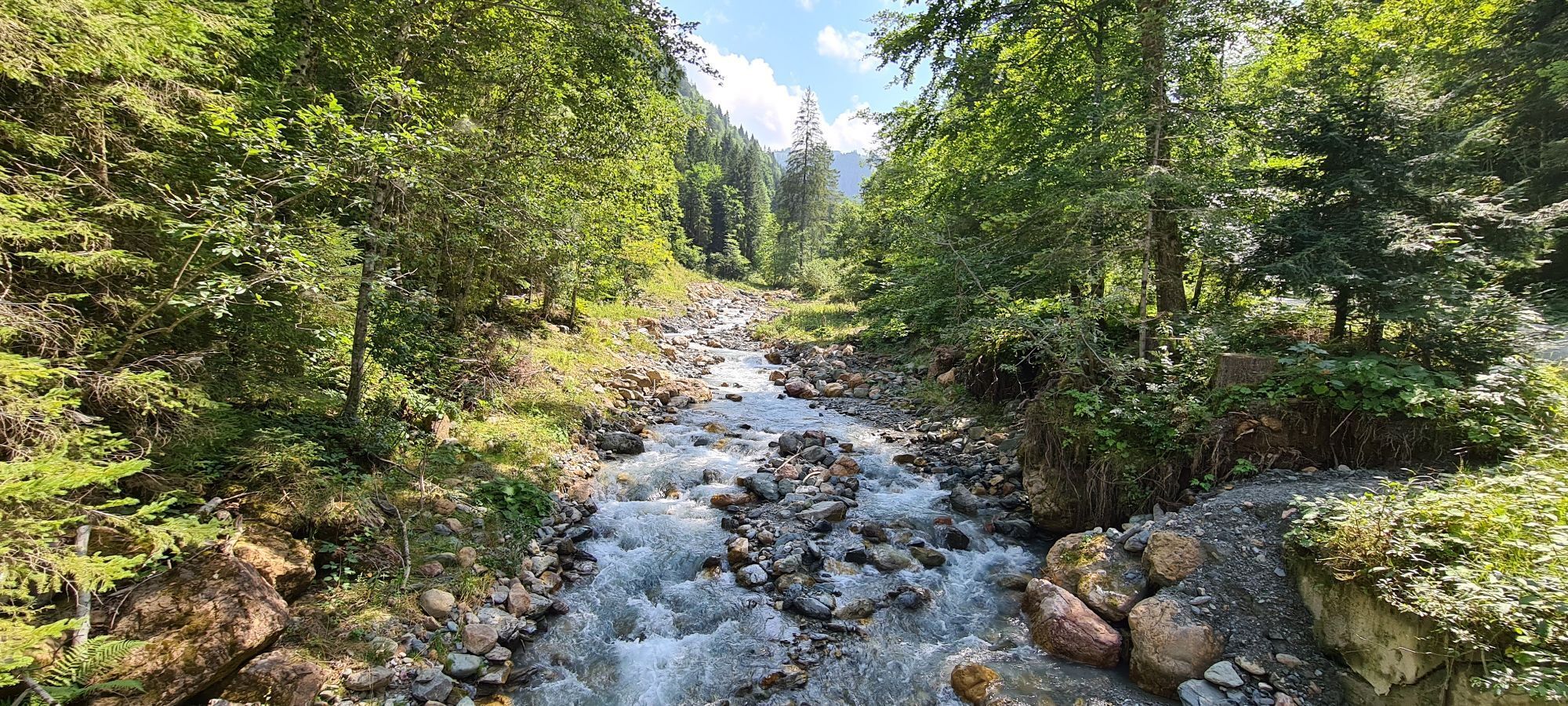
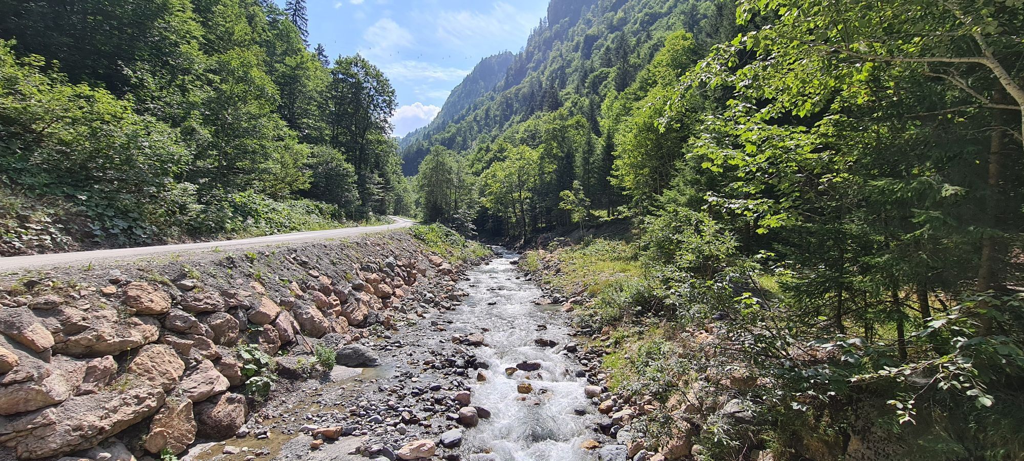
The Tour de Champions is the new highlight in Austria's largest bike region, Saalbach Hinterglemm Leogang Fieberbrunn. While gravity fans appreciate the diverse lines and top-notch trails in Austria's...
The setting couldn't be more impressive: the nine Champions venues – competition sites where world champions have been crowned and will continue to compete for their titles. The world watched with bated breath as World Cup races and World Championships were held here. These include the start and finish of the 2025 Alpine Ski World Championships on the Zwölferkogel in Hinterglemm, the Biathlon World Championship stadium in Hochfilzen, and the UCI Mountain Bike World Championship courses in the Epic Bikepark Leogang.
You'll also receive exciting background information on the sports and events. You decide which tour suits you best and which stops you'd like to visit – and you'll collect points along the way that secure you attractive rewards – because you, too, are a champion to us.
Make the Tour de Champions your personal biking highlight of 2026 – whether as a challenging multi-stage tour or on varied day trips where you explore the venues of champions. One of the most impressive alpine mountain biking destinations – Austria's largest bike region, Saalbach Hinterglemm Leogang Fieberbrunn – provides a spectacular backdrop. The three starting points, Saalbach, Fieberbrunn, and Saalfelden Leogang, are sure to impress, reward, and leave a lasting impression.
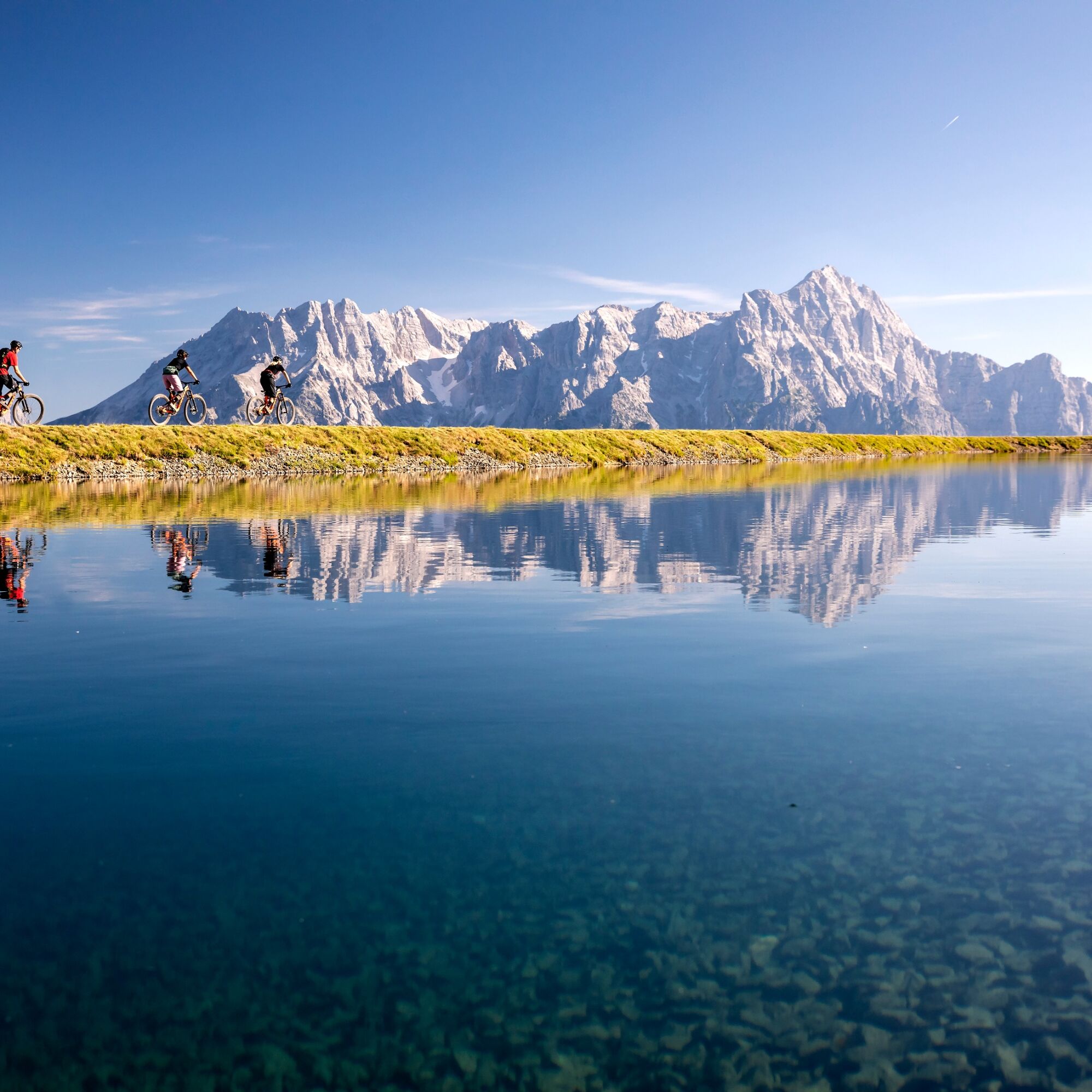
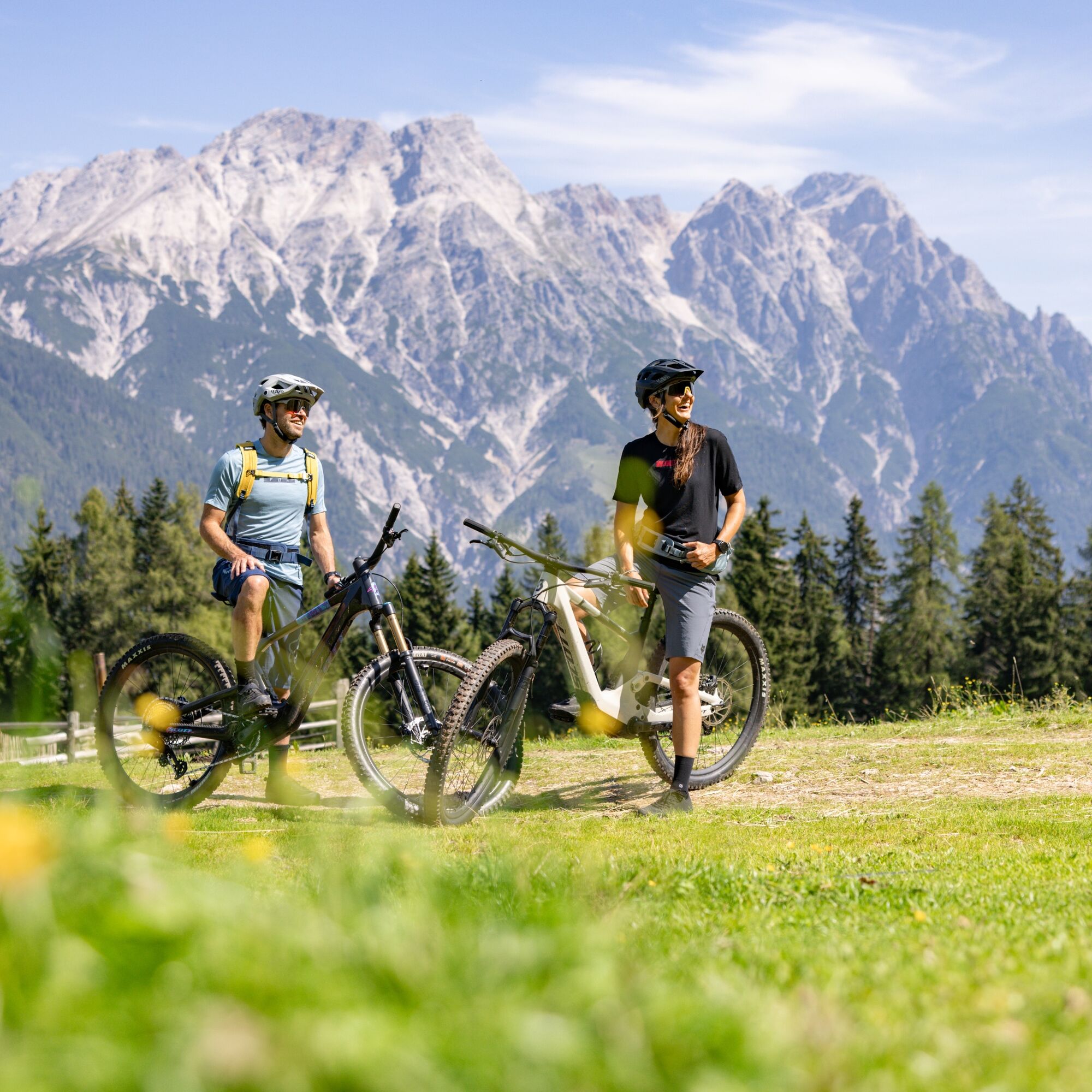
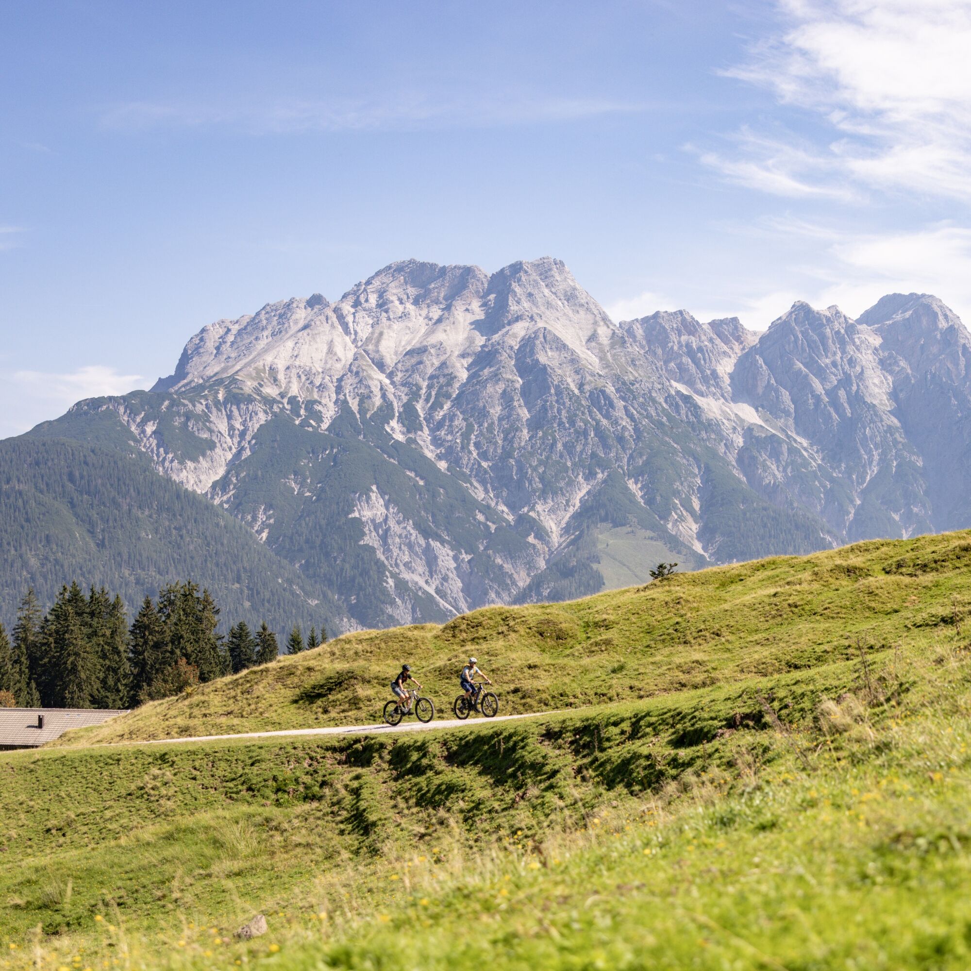

The Tour de Champions can be started from any location. Whether multi-day tours or day stages, each stage is a highlight in itself. The following historic sports venues will be visited:
Zwölferkogel World Championship Stadium
12er Kogel summit: Start and finish of the 2025 Alpine Ski World Championships in Hinterglemm
Kohlmais World Championships 1991
Freeride World Tour at the Wildseeloder in Fieberbrunn
Former Lords of the Boards venue in Fieberbrunn
Hochfilzen Biathlon World Championship Stadium UCI
Mountain Bike World Championships and World Cup tracks in the Epic Bikepark Leogang Nordic Park Saalfelden
Hundstoa: Venue of the traditional Hundstoa wrestling competition in the Salzburg Alps
S2
Kamery internetowe z trasy
-
Maria Alm - Hochmaisbahn
-
Schmittenhöhe
-
Schattberg - West
-
Asitz Gipfel
-
Aberg - Bergstation
-
Schattberg Westgipfel
-
Kohlmais Tal
-
Maria Alm - Aberg
-
Sonnkogel
-
Schmittenhöhe
-
Mitterberg bei Thumersbach
-
Hochfilzen - Ferienwohnungen Schreder
-
Zell am See / Hotel Berner
-
Asitz Talstation
-
Schmittenhöhe
-
Schmittenhöhe
-
Reckmoos
-
Zell am See
-
St. Jakob im Pillerseetal
-
Fieberbrunn - Buchensteinwand in Tirol
-
Leogang
-
Hinterglemm - Saalbach
-
Saalfelden
-
Großer Asitz / Gipfelkreuz
-
Leogang Schanteilift
-
Thumersbach
-
Saalbach-Hinterglemm - Schattberg Ost
-
Saalbach-Hinterglemm - Zwölferkogel
-
Saalbach-Hinterglemm - Wildenkarkogel
-
Fieberbrunn - Lärchfilzkogel
-
Lärchfilzkogel
-
Saalbach - Hotel Alpinresort
-
Zwölferkogel
-
Wildenkarkogel
-
Talstation Asitzbahn
-
Mittelstation Streuböden
-
Grünegg Alm & Edelbrennerei
-
Maishofen Sausteige
-
Maishofen - Schloss Kammer
-
Natrun Bergstation

Popularne wycieczki w okolicy
-
4,3
Maurerkogel (Top)
Wędrówka 10,5 km -
4,7
Panorama route 3 peaks and 2 lakes
średniWędrówka 7,21 km -
5,0
Leo’s play hiking trail
światłoTrasa tematyczna 4,89 km -
4,1
Berg der Sinne
światłoWędrówka 4,39 km -
4,5
Birnbachloch
średniWędrówka 6,35 km -
4,6
Birnbachloch Leogang, Österreich
średniWędrówka 5,18 km -
4,5
Areitweg - Plettsauerkopf - Rundwanderung
średniWędrówka 11,8 km -
4,9
Hochsonnberg Runde
średniMountainbike 59,8 km -
4,8
Schmittenhöhe - Hochsonnbergalm - Pinzgauer Hut
średniWędrówka 9,09 km -
4,9
10D Hochsonnbergrunde
średniMountainbike 26,4 km
Wędrówki i tropienie


Nie przegap ofert i inspiracji na następne wakacje
Twój adres e-mail została dodana do listy mailingowej.


