







TG16 Genneralm route

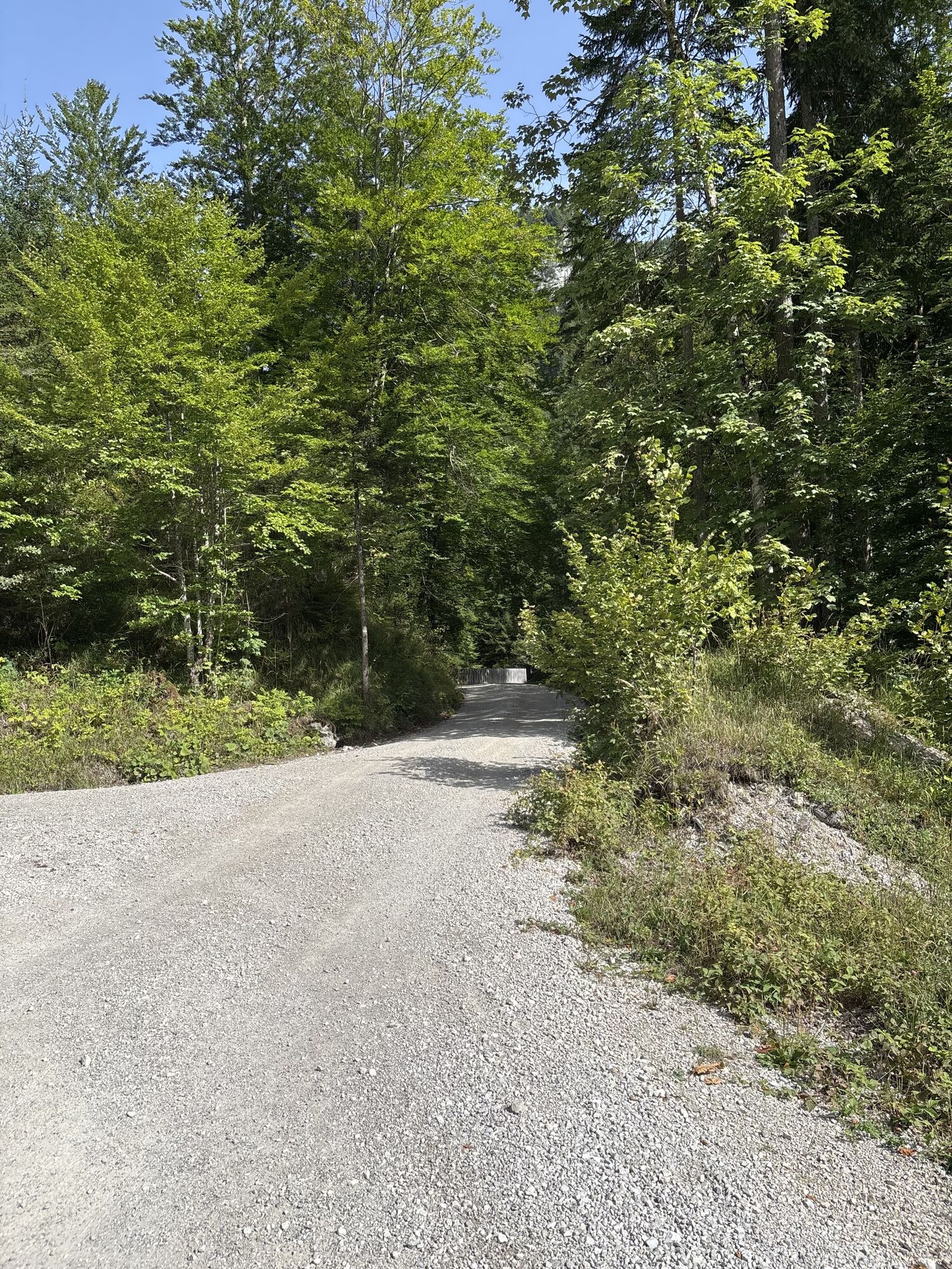
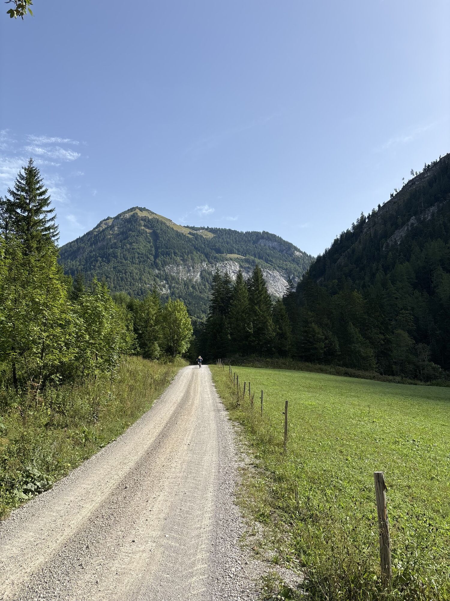
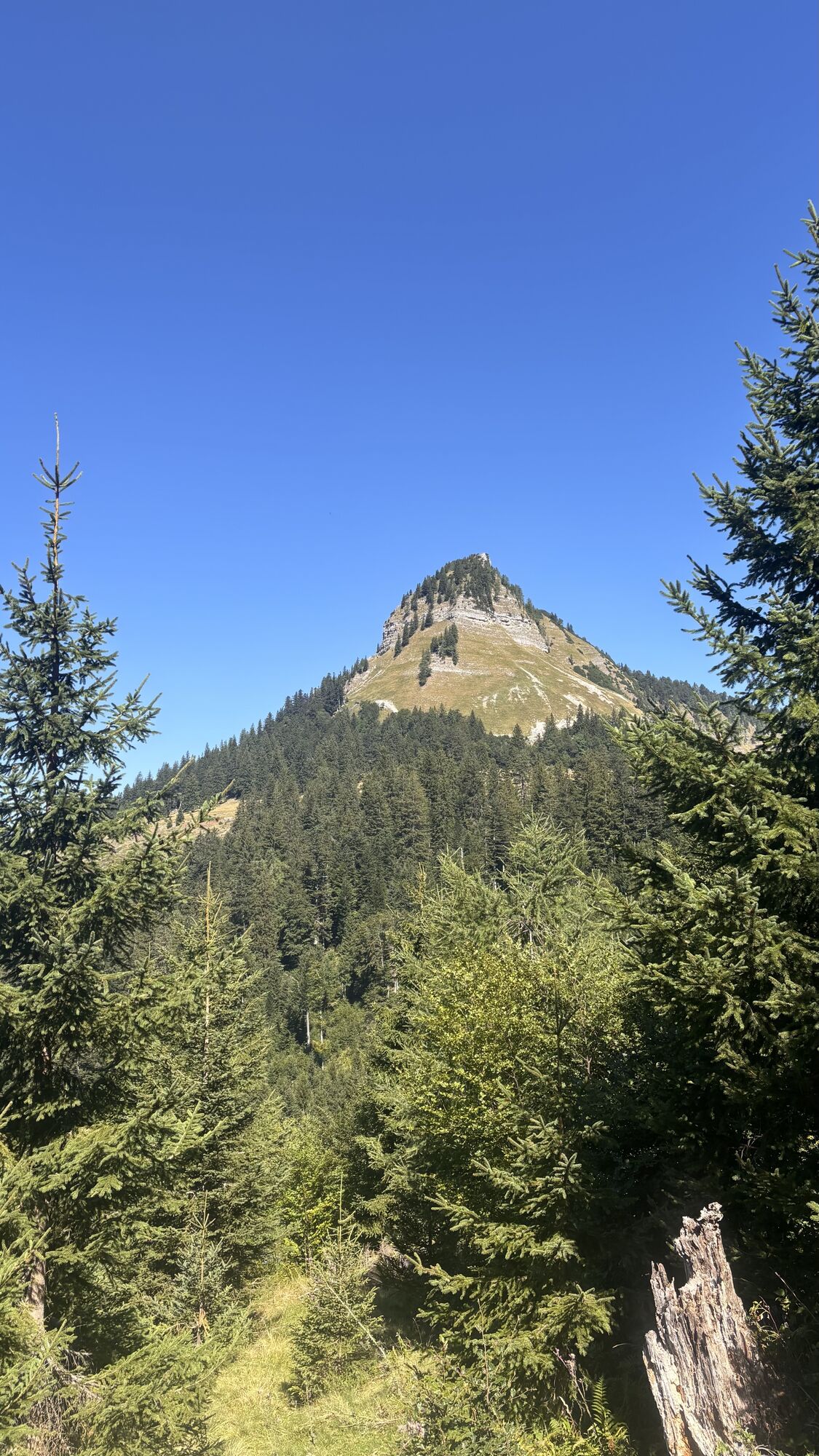
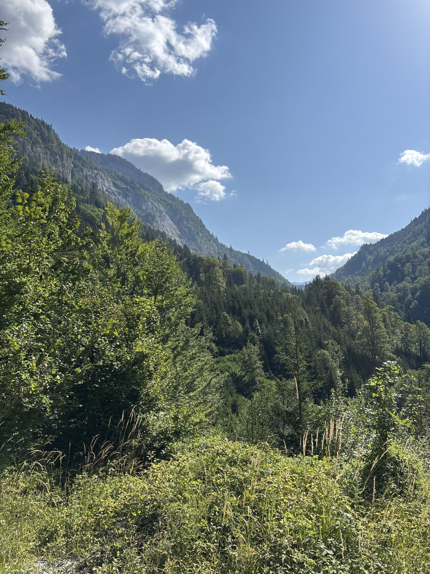
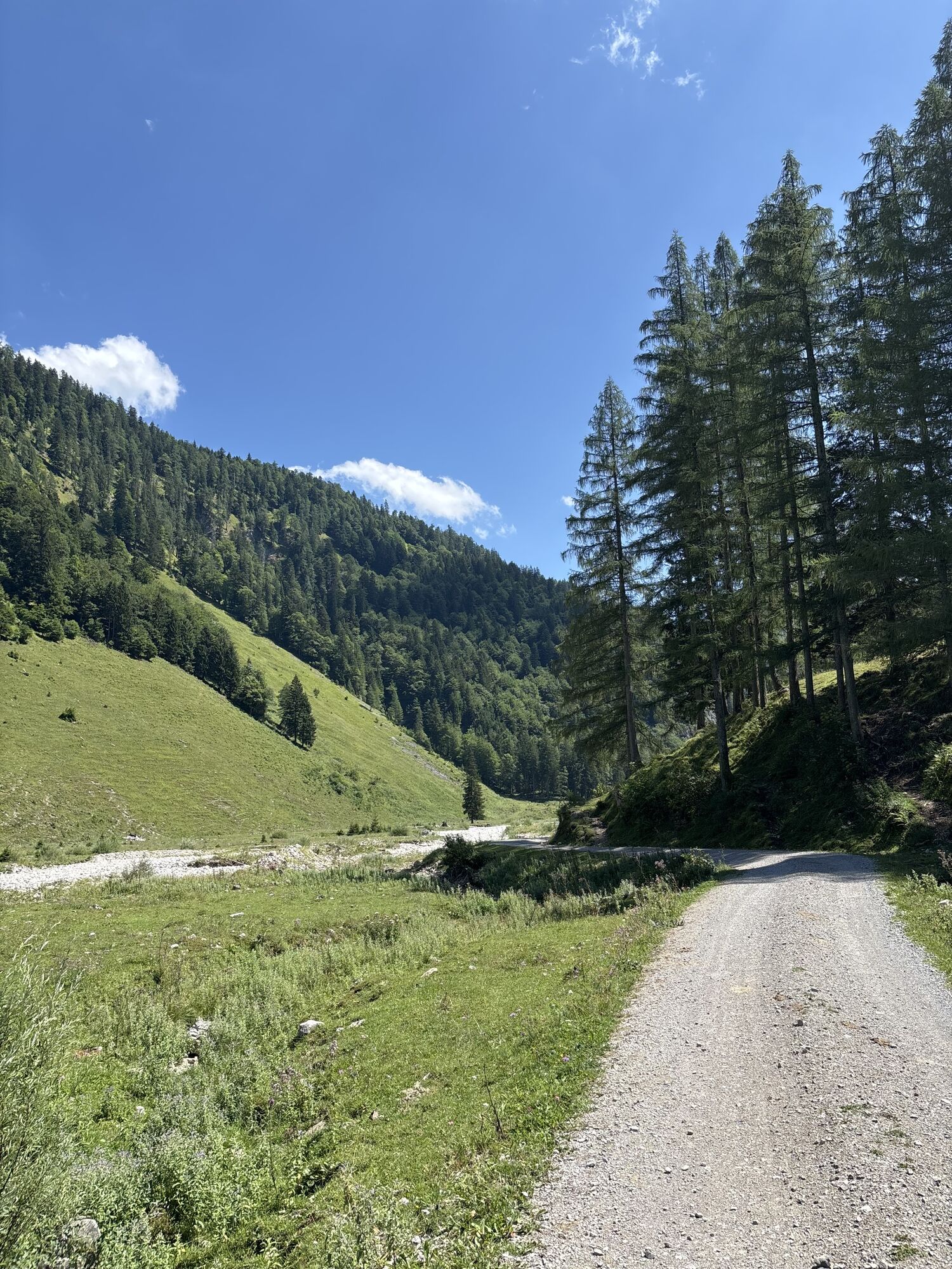
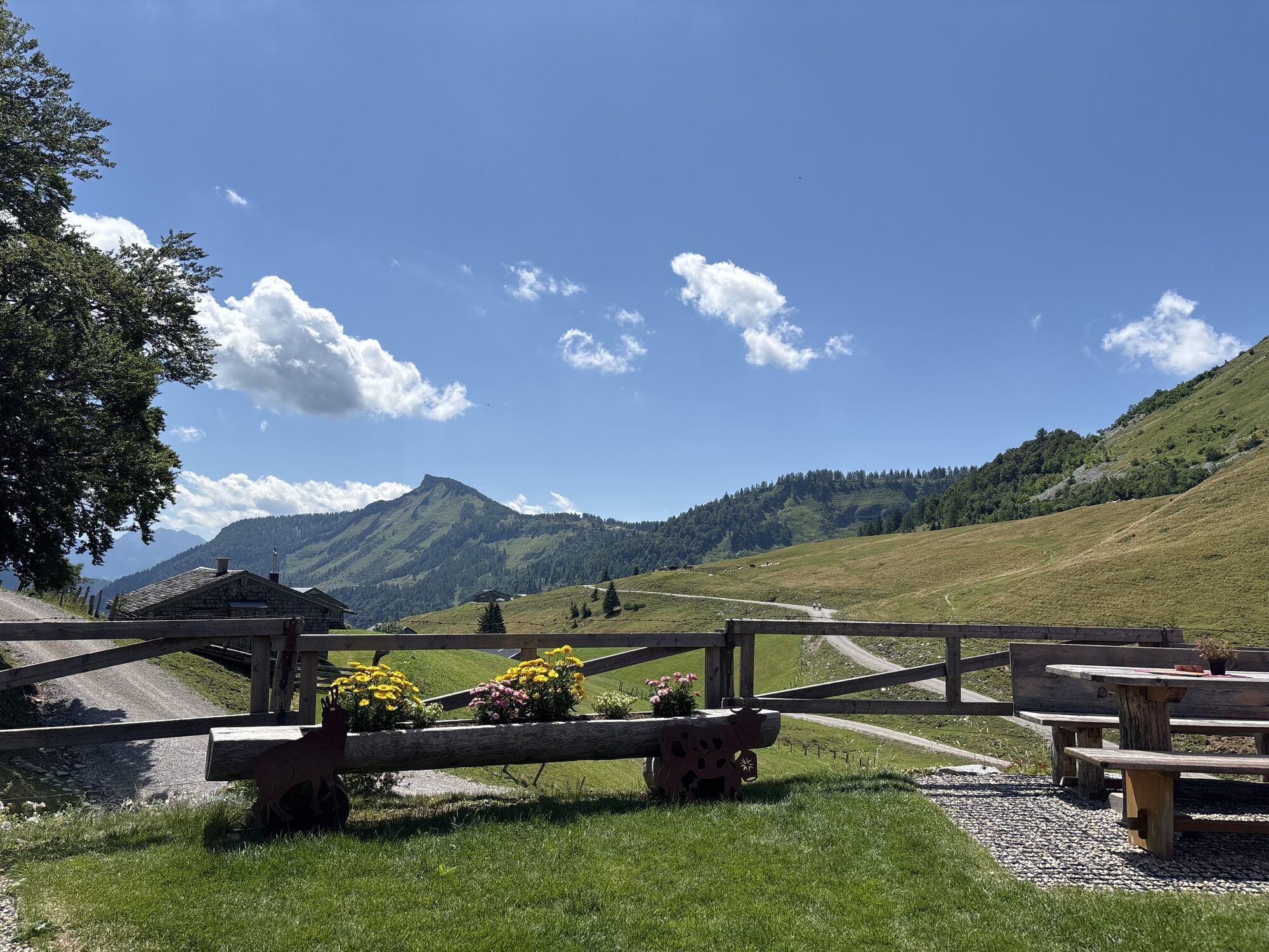
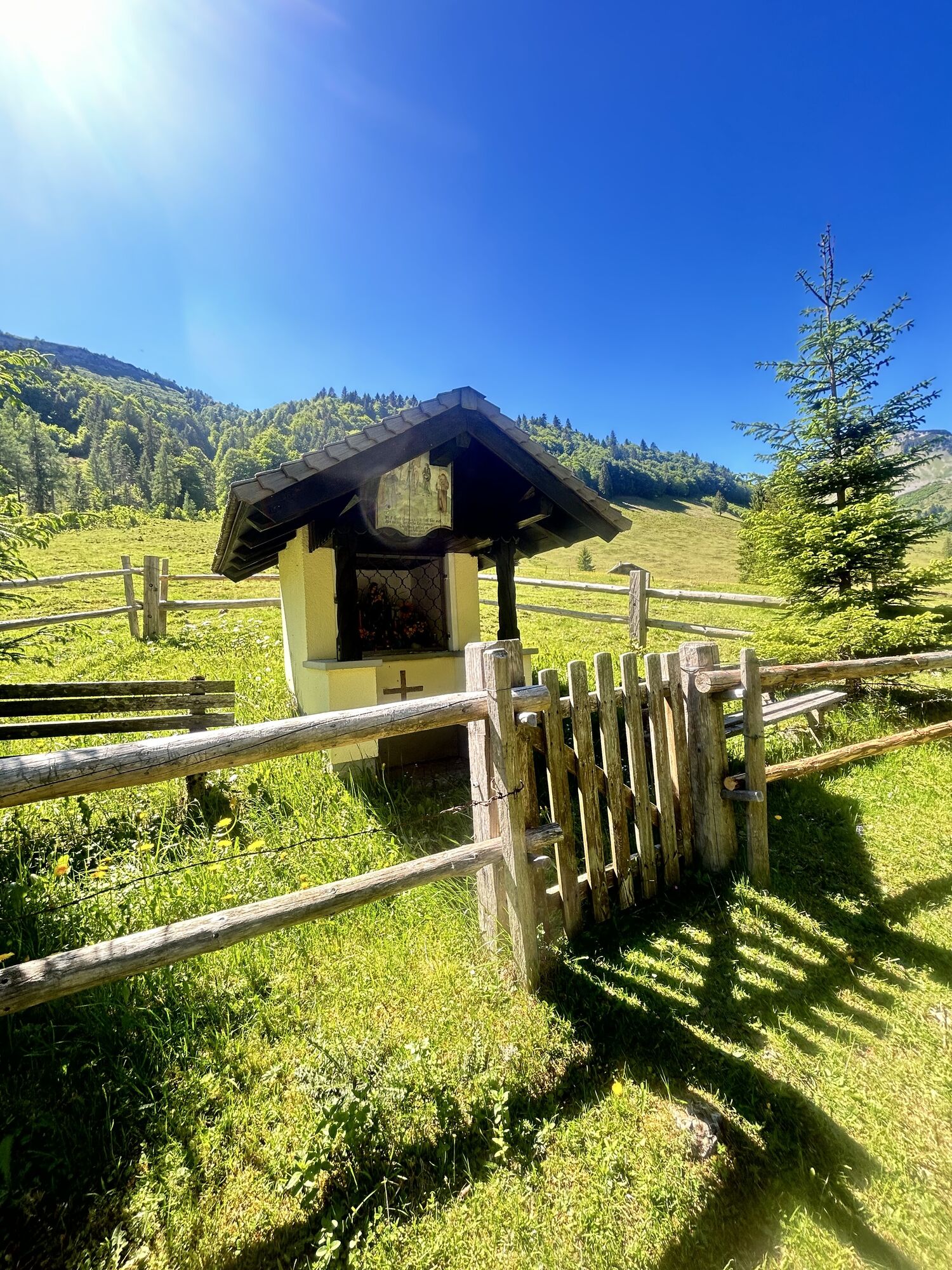
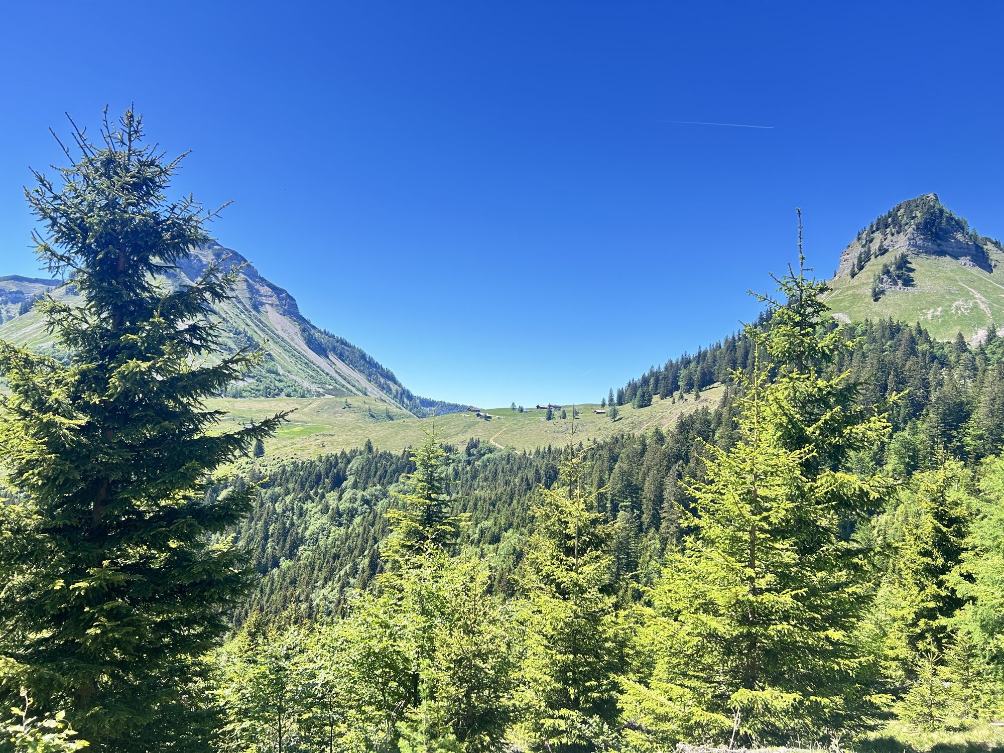
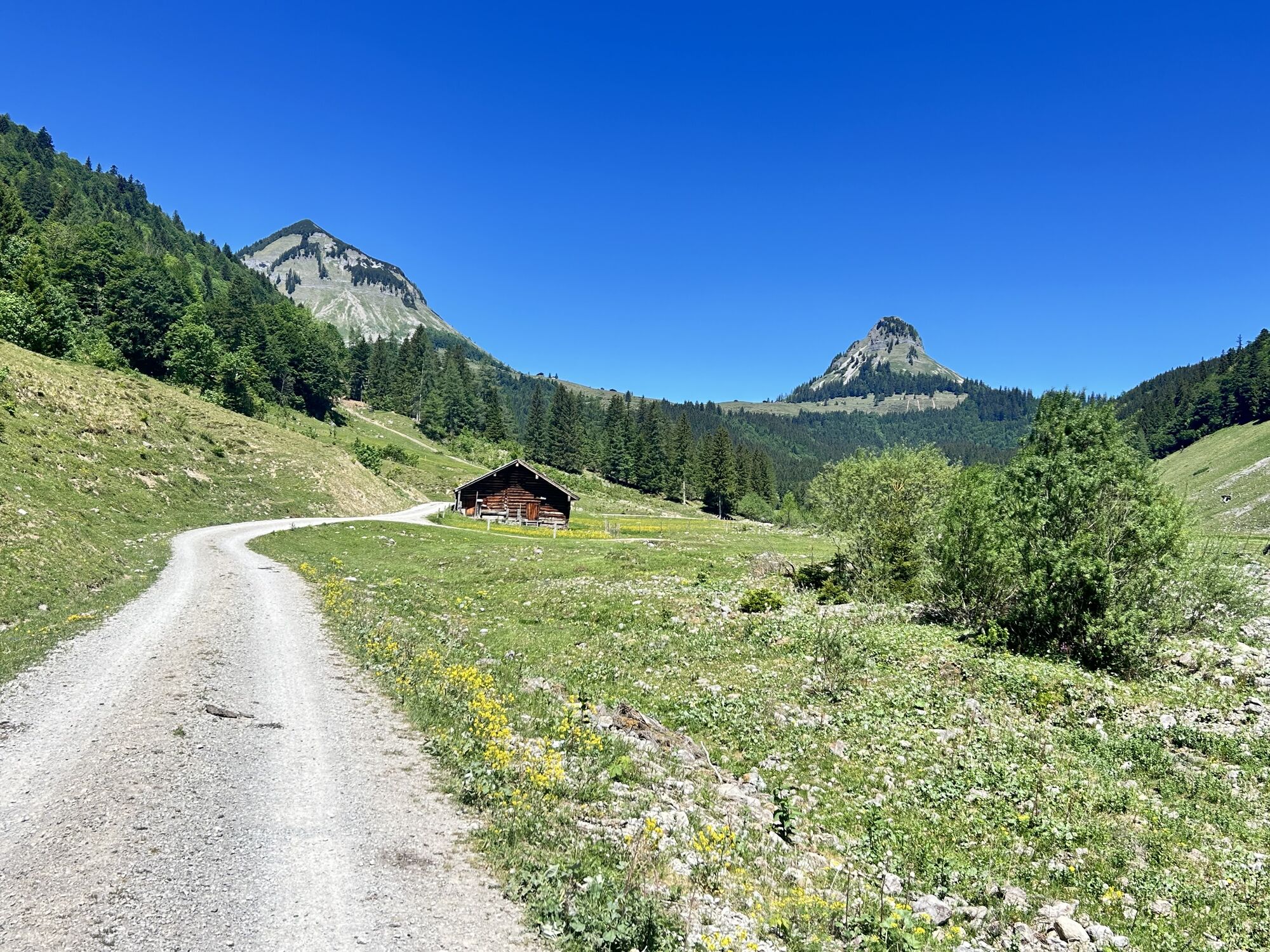
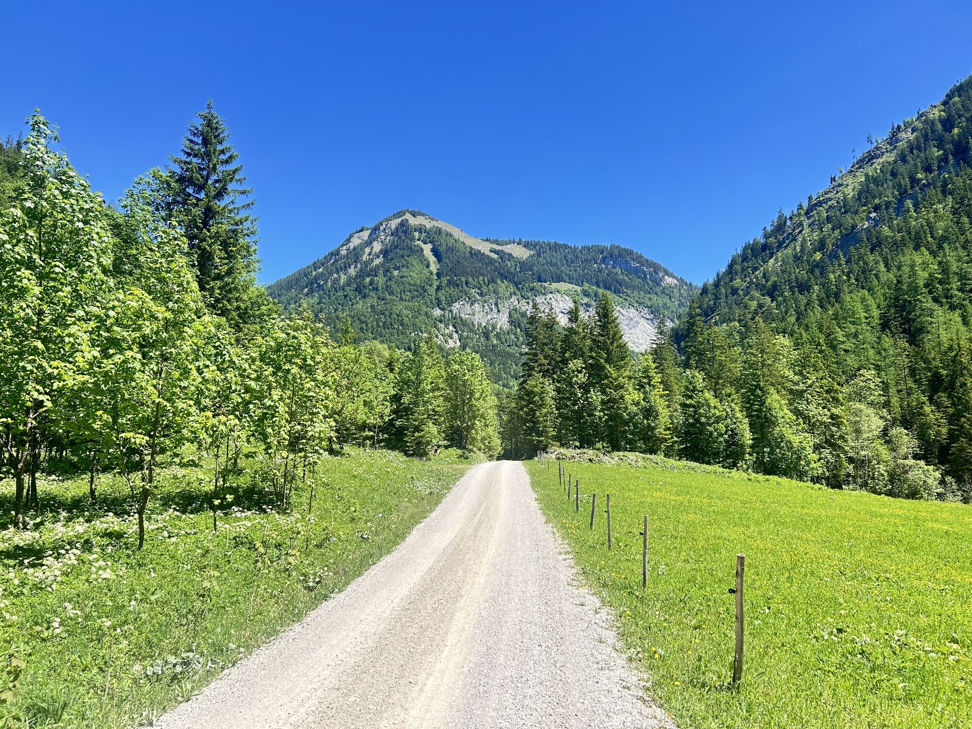
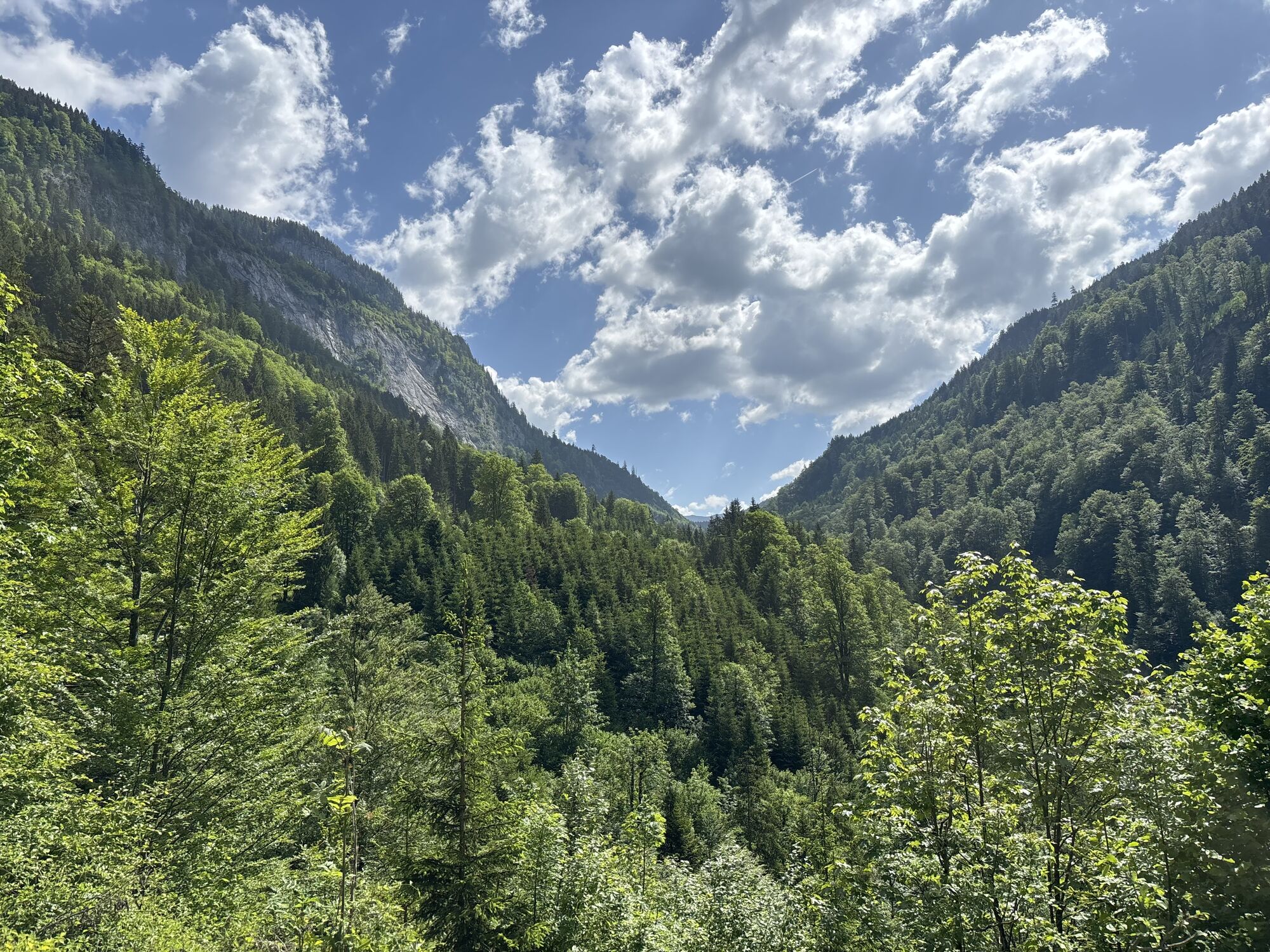
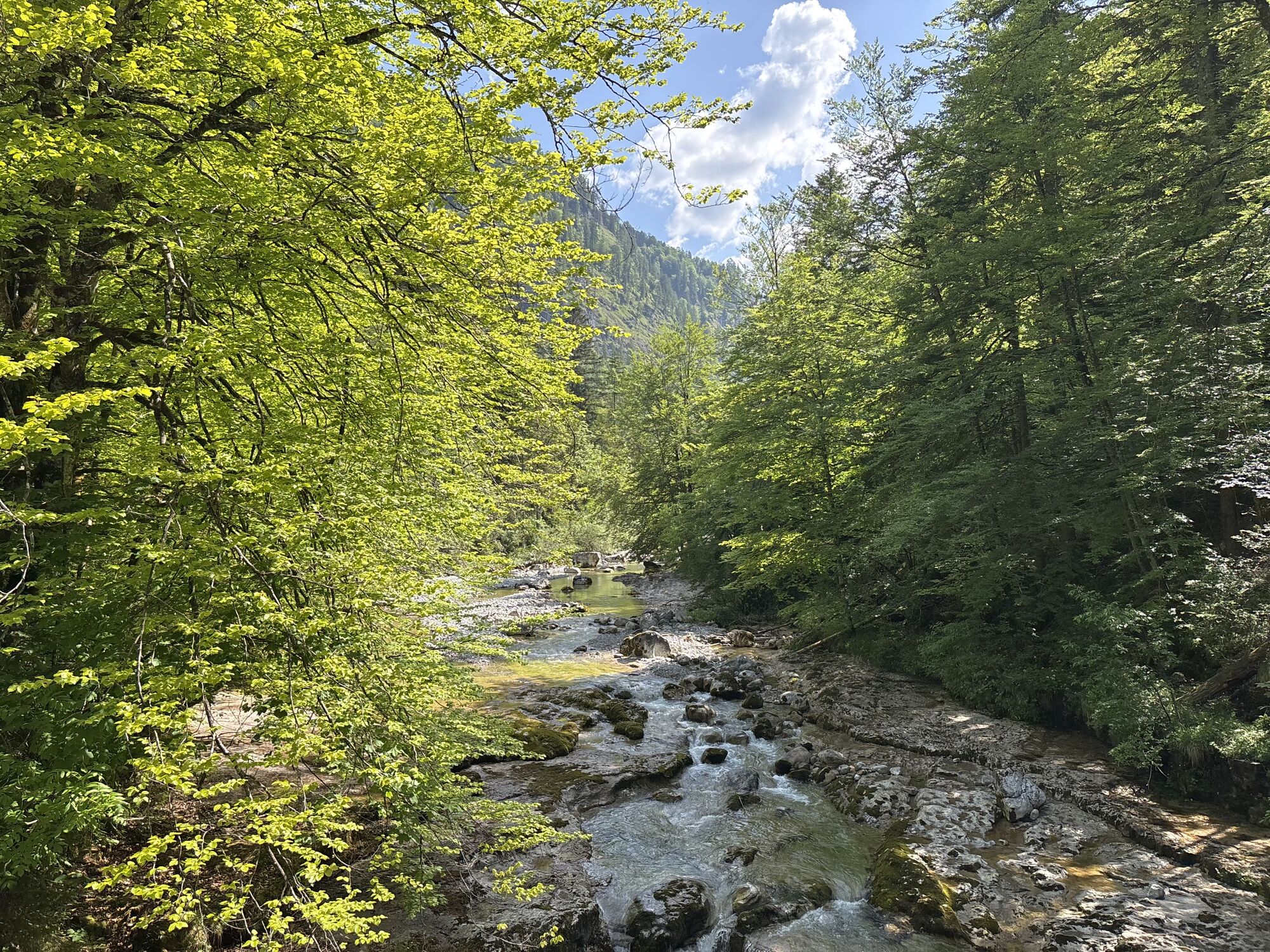
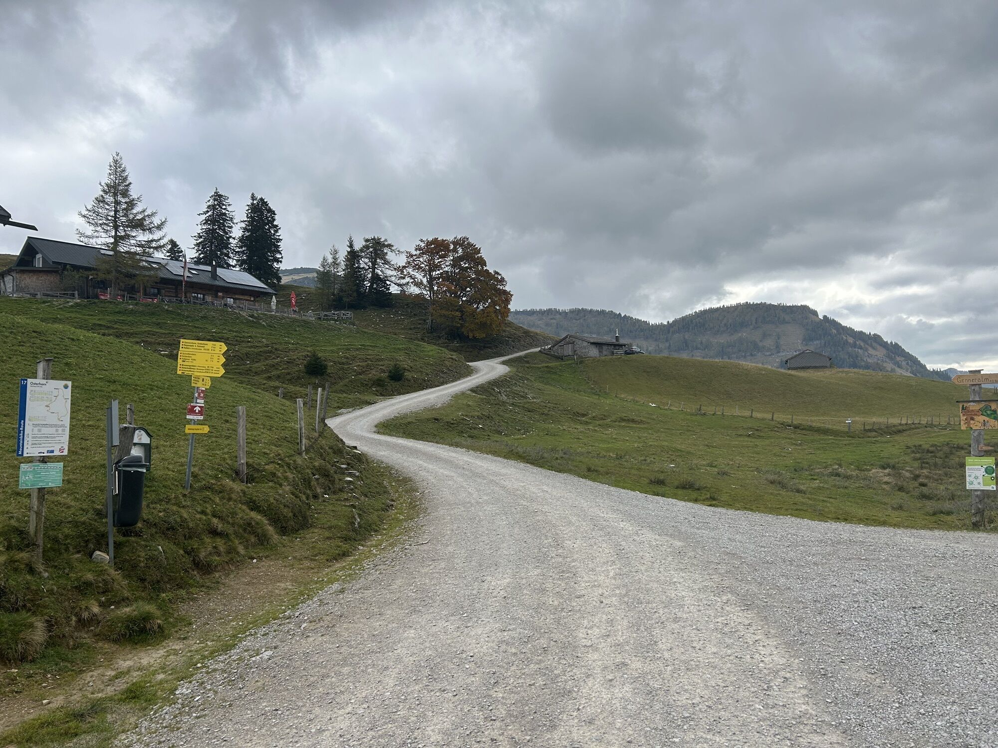
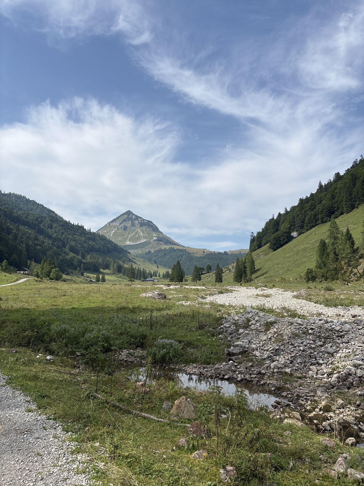
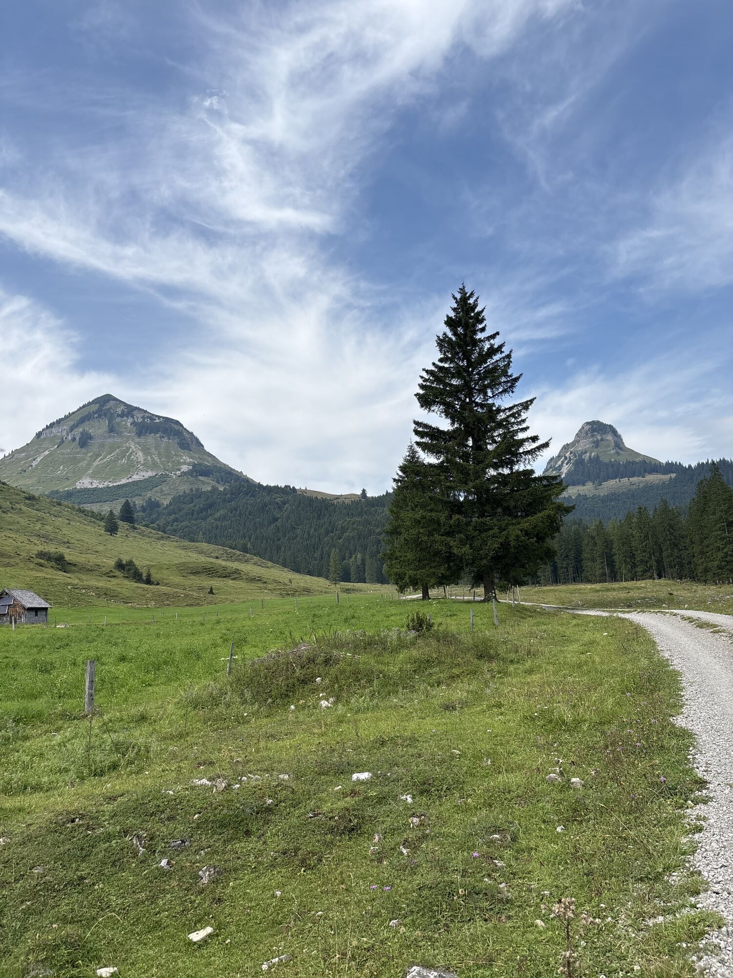
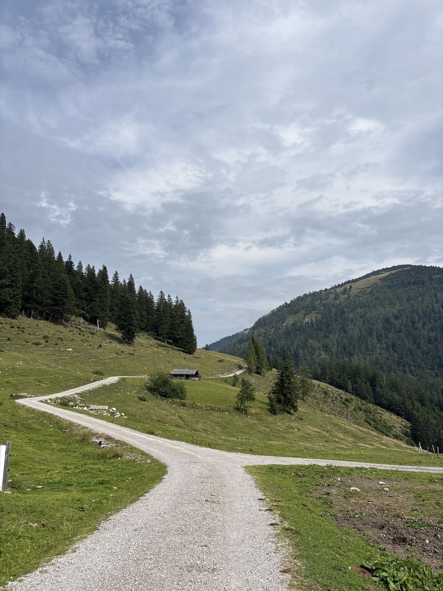
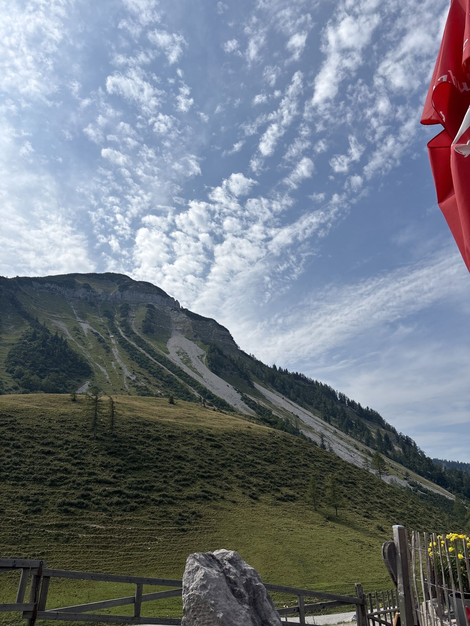
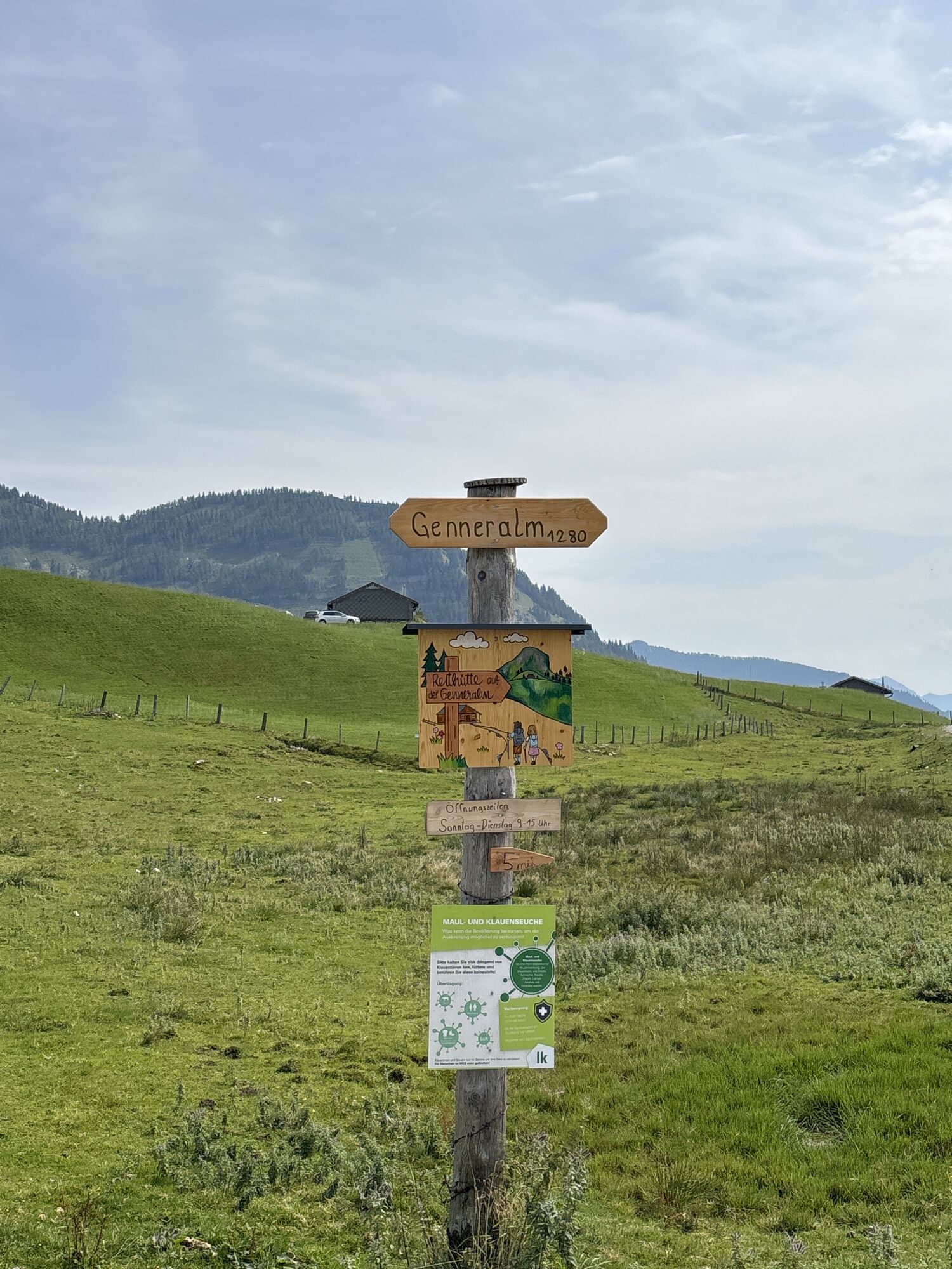
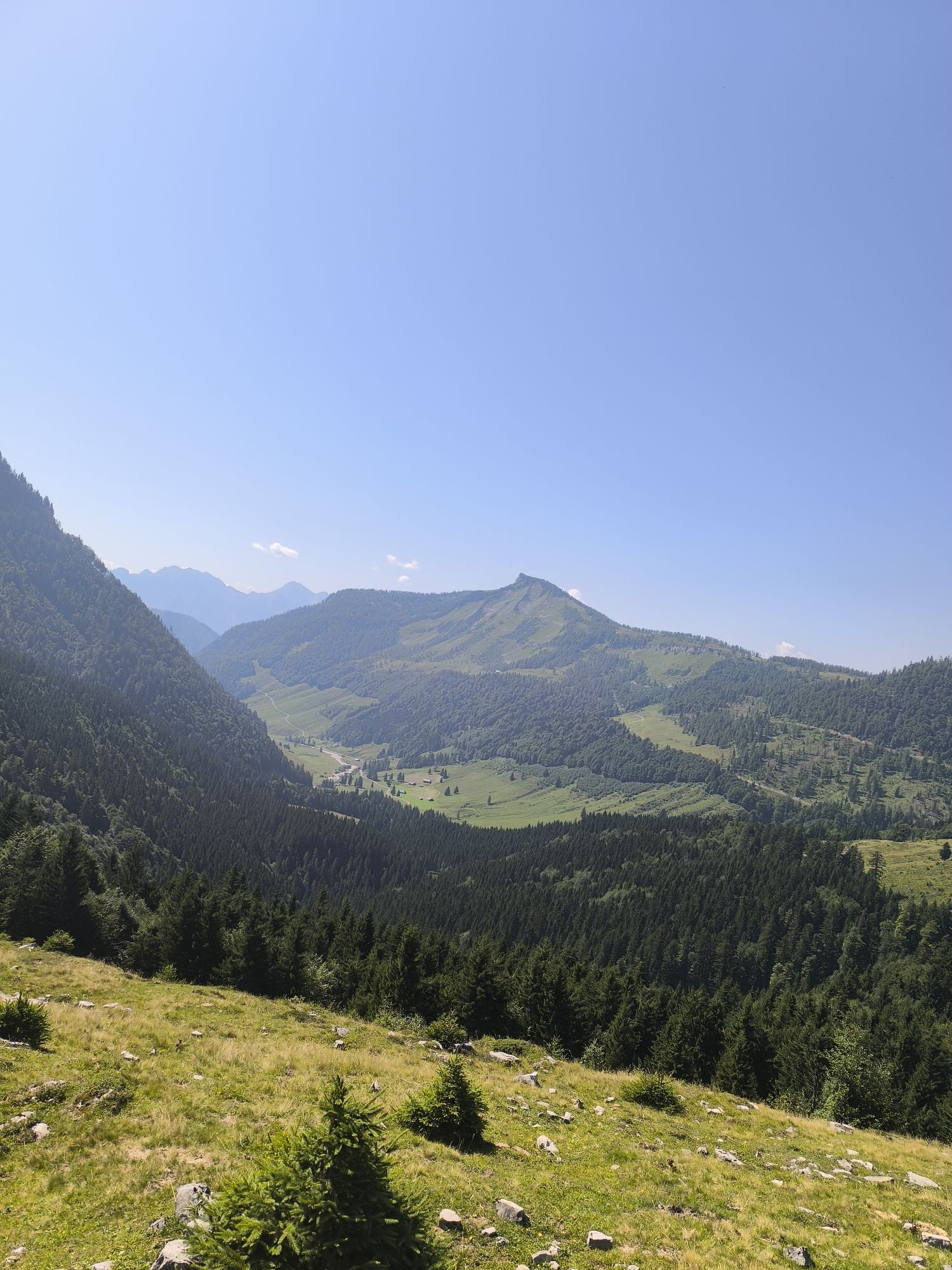
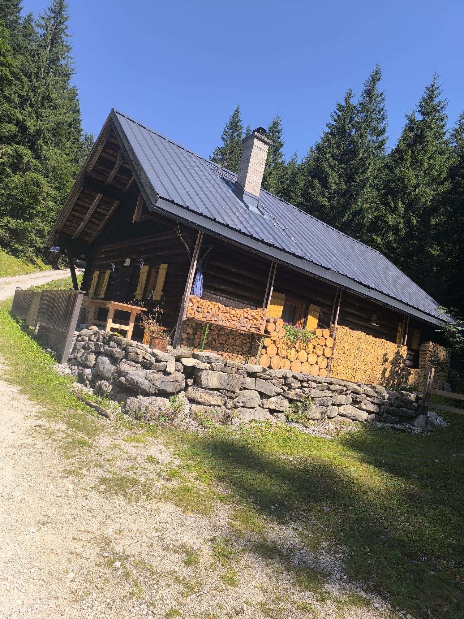
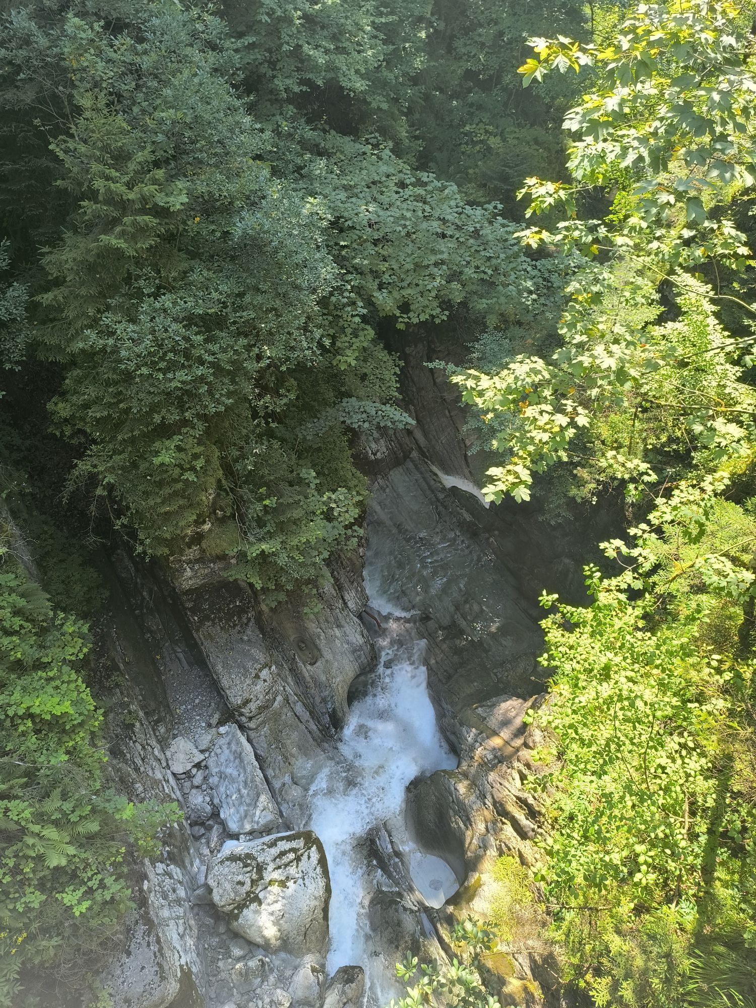
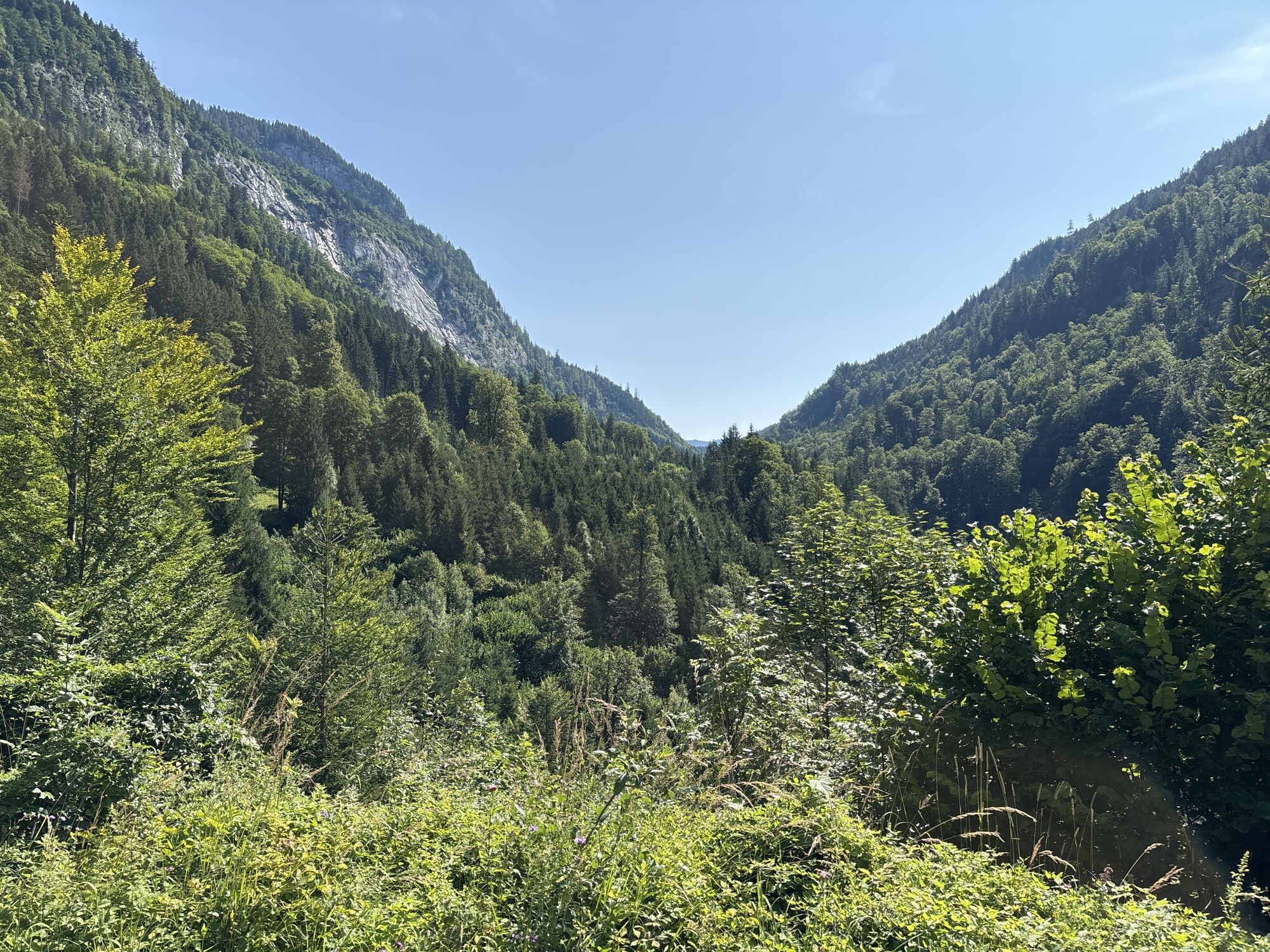
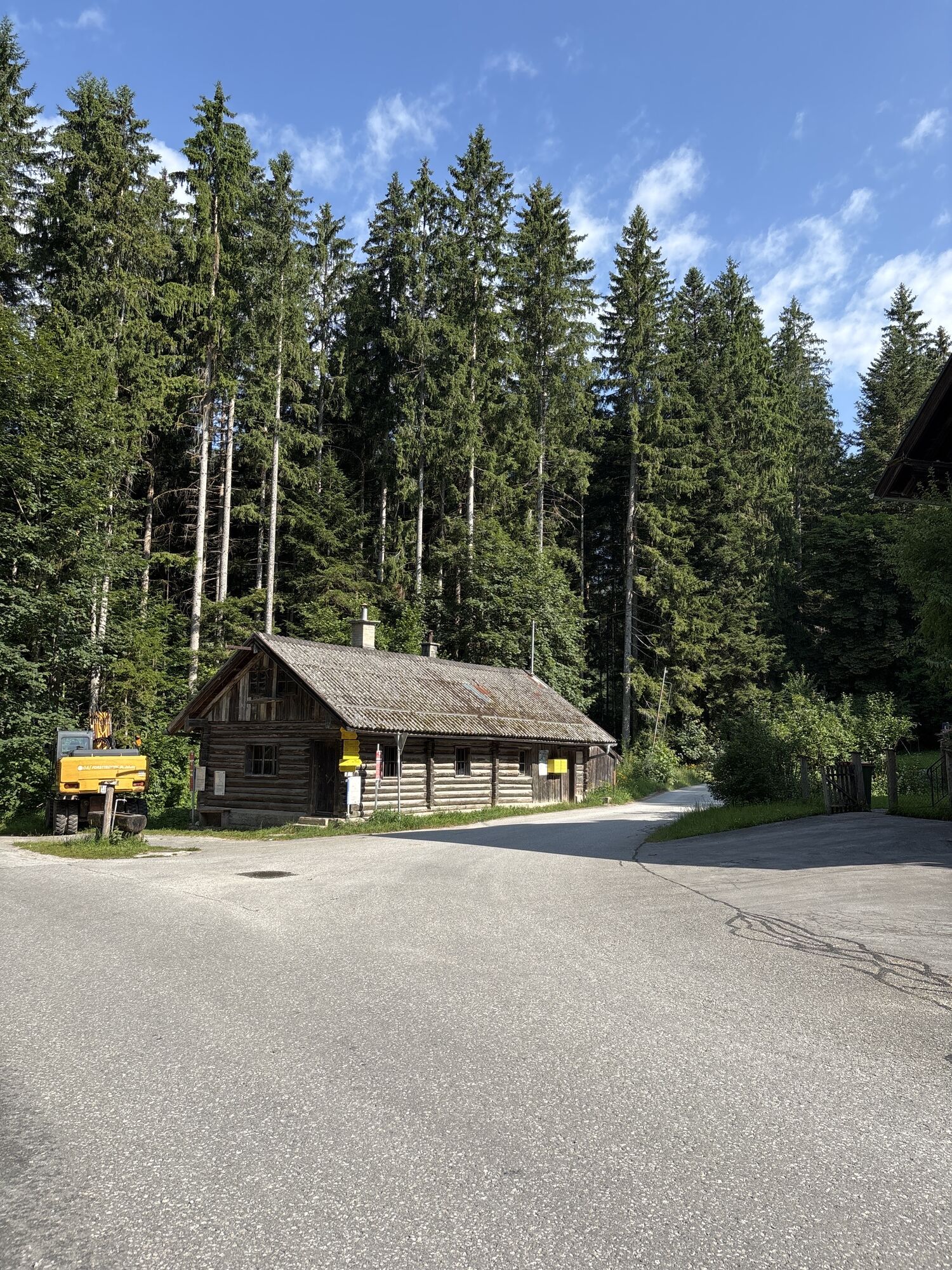
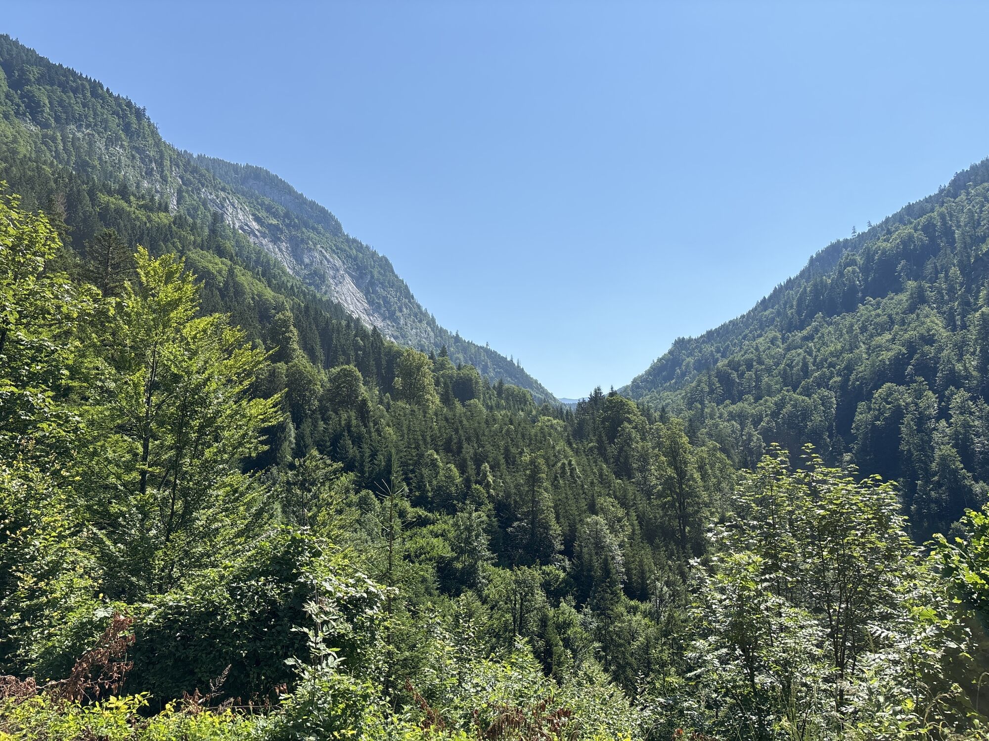
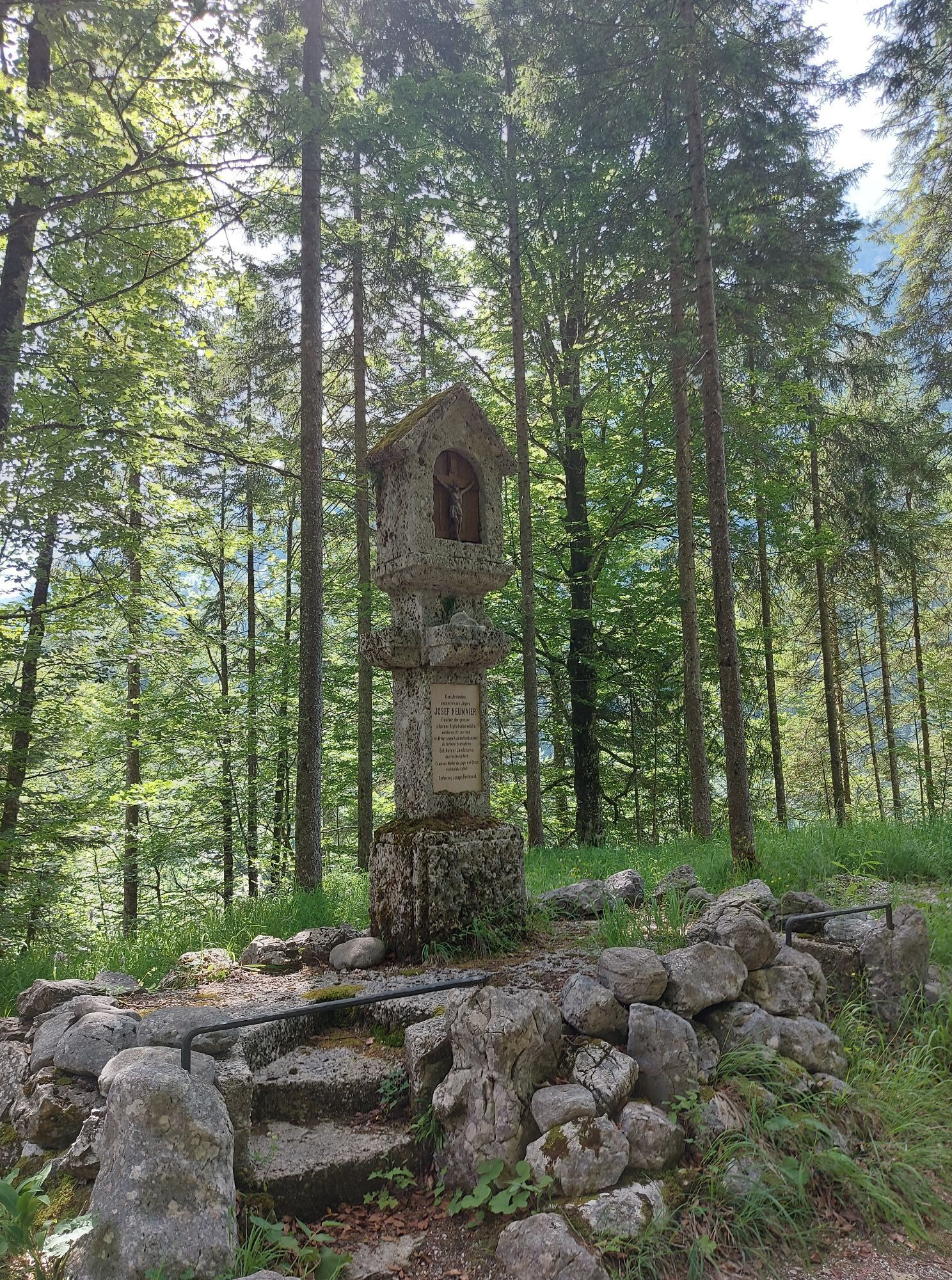
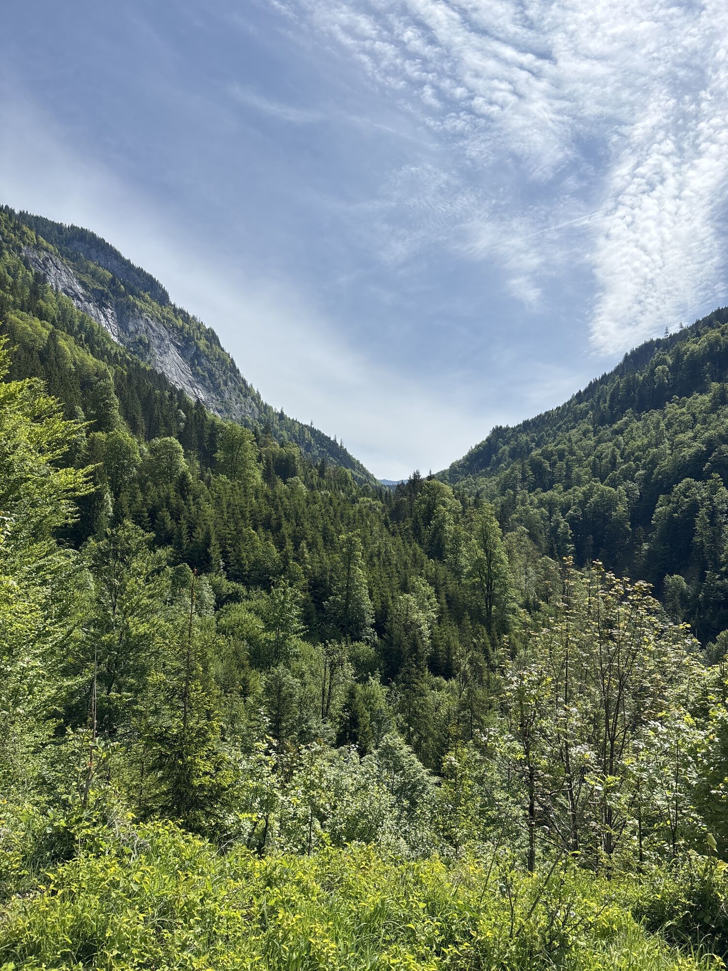
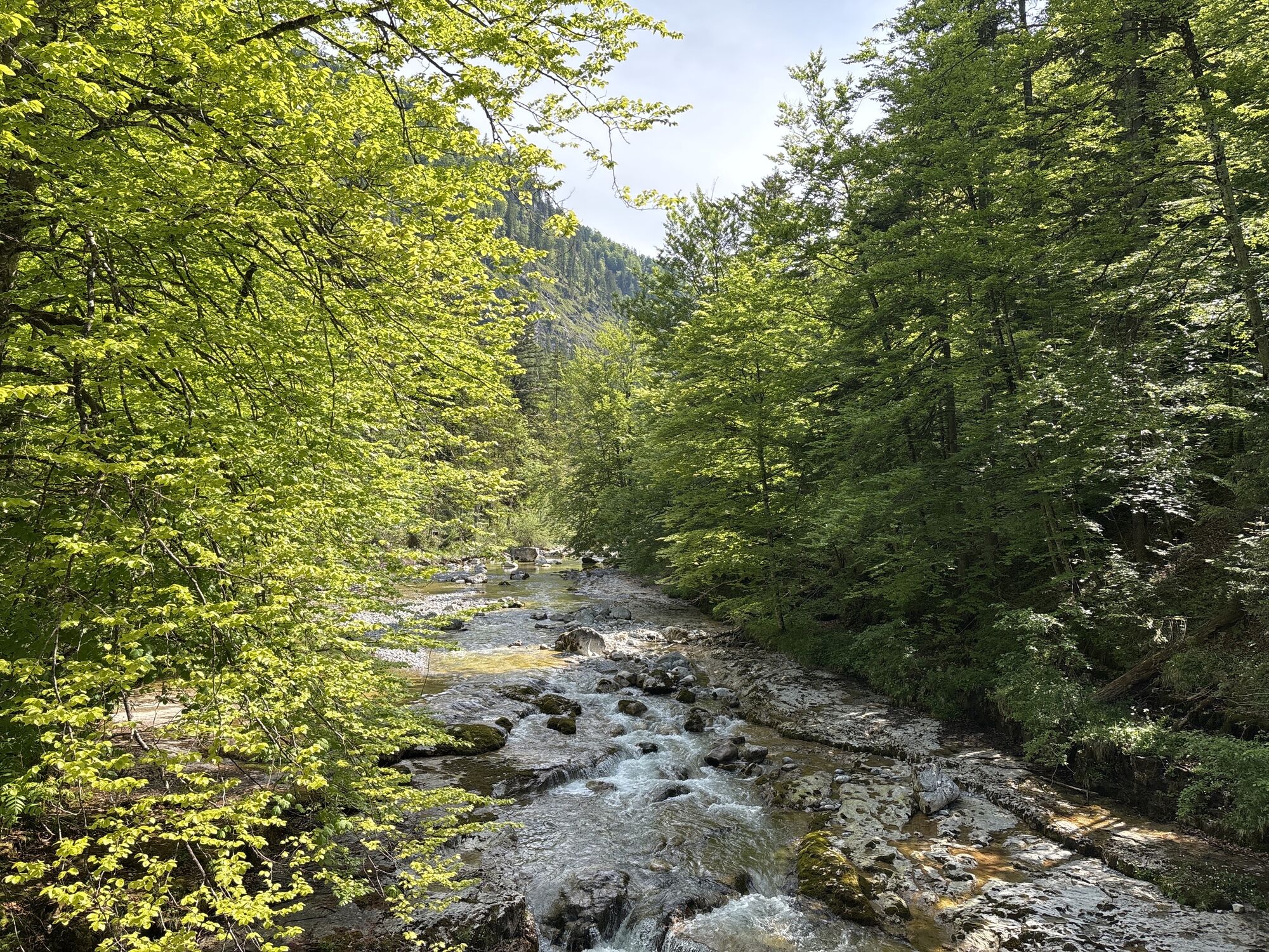
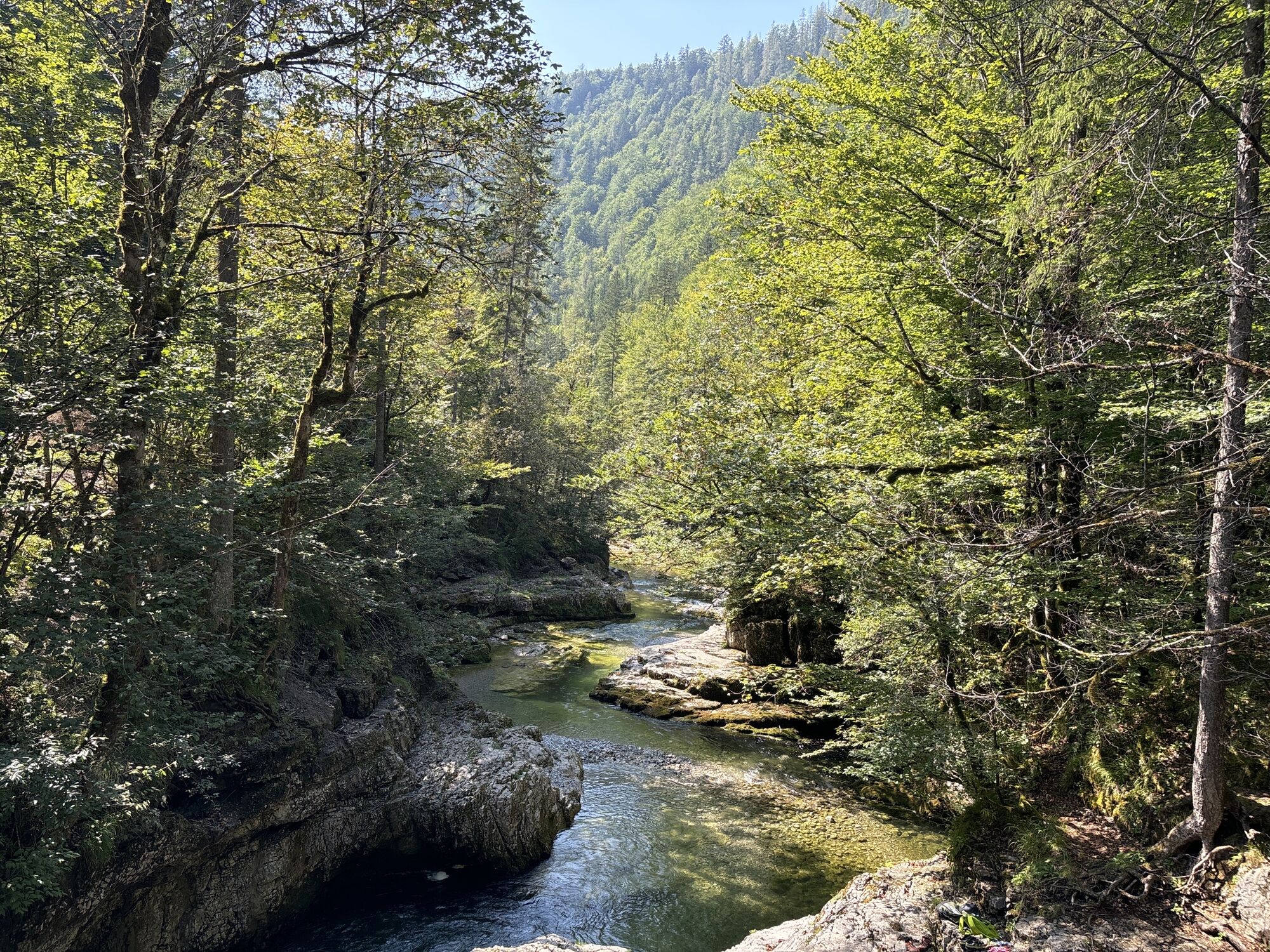
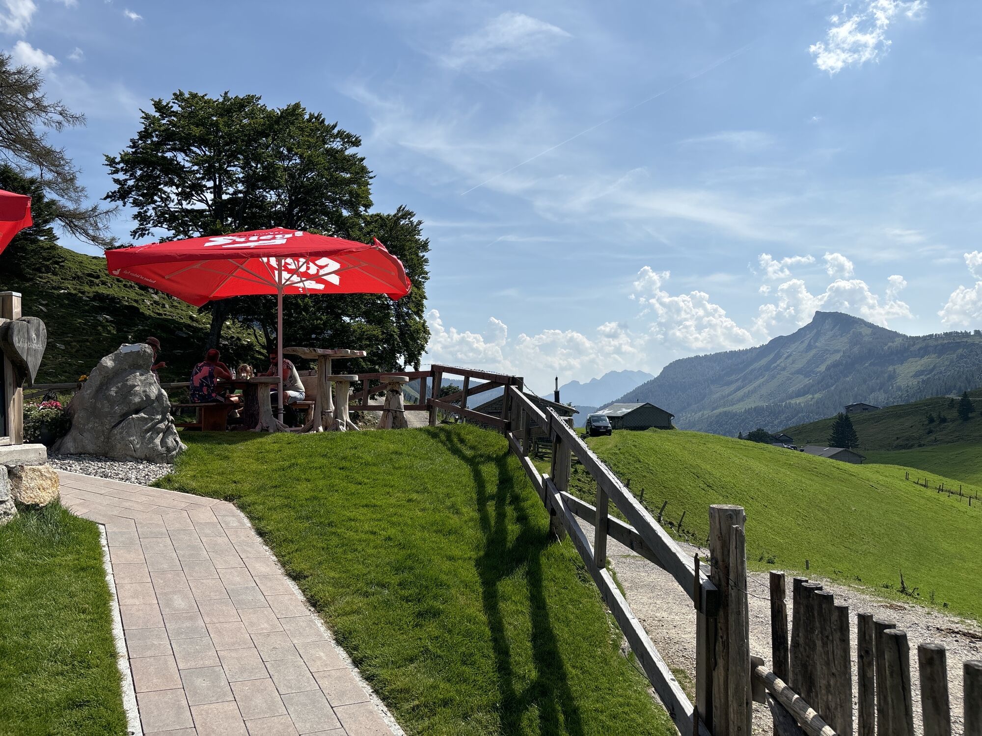
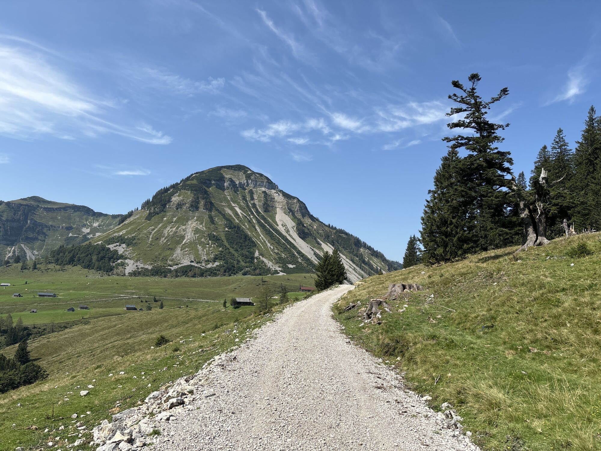
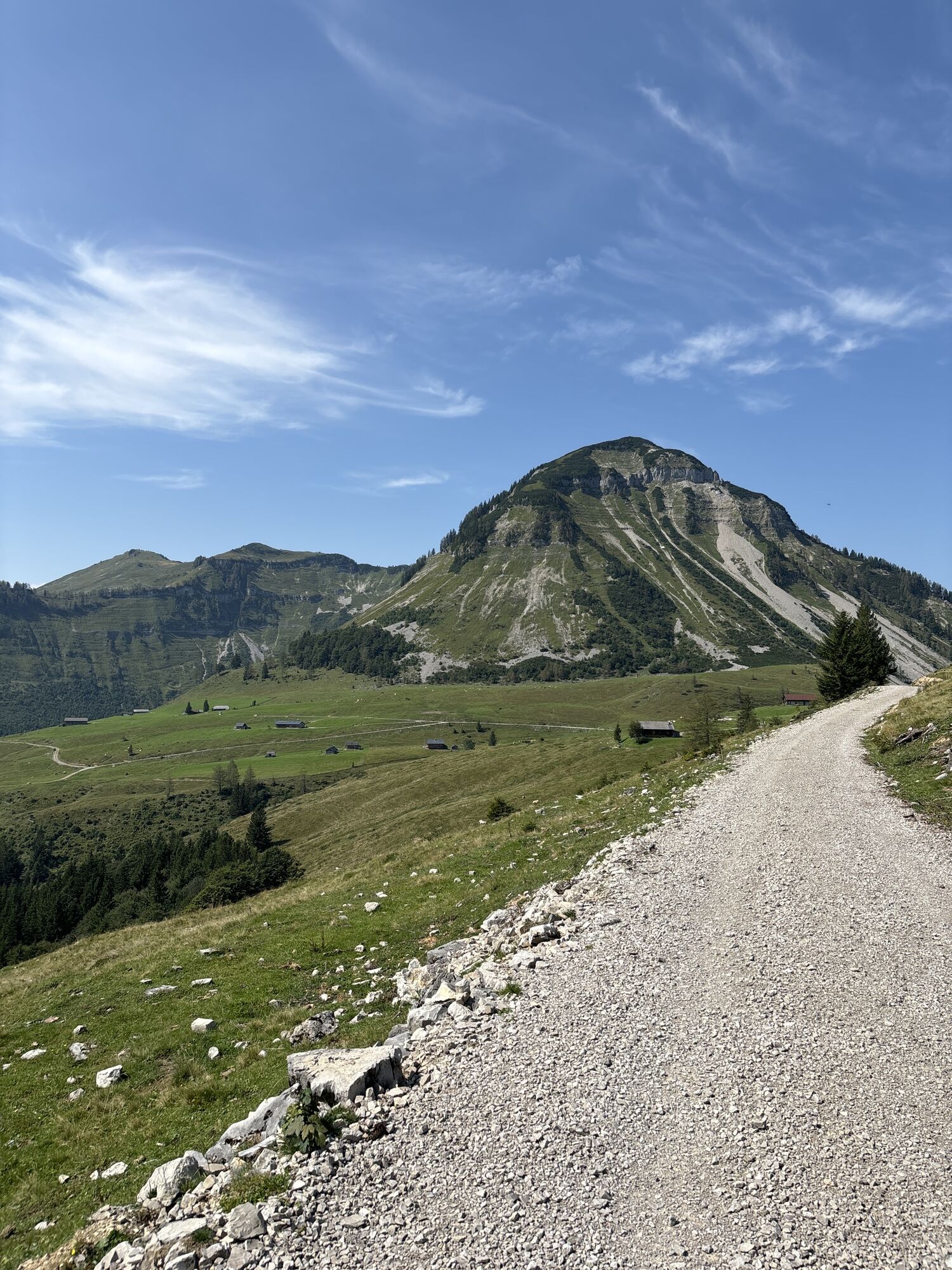
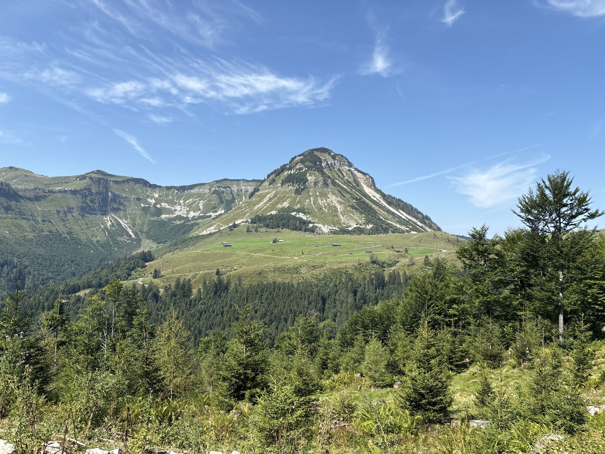
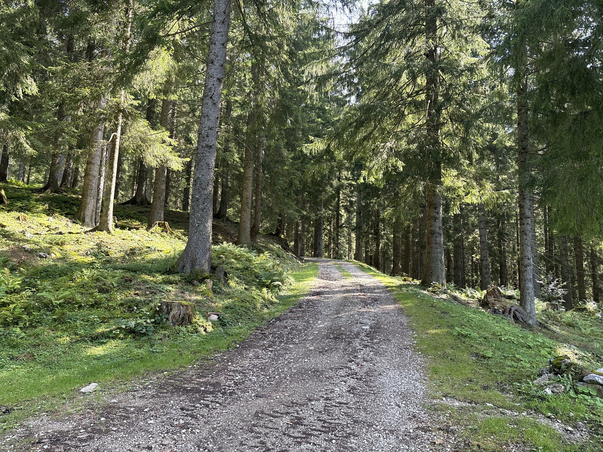
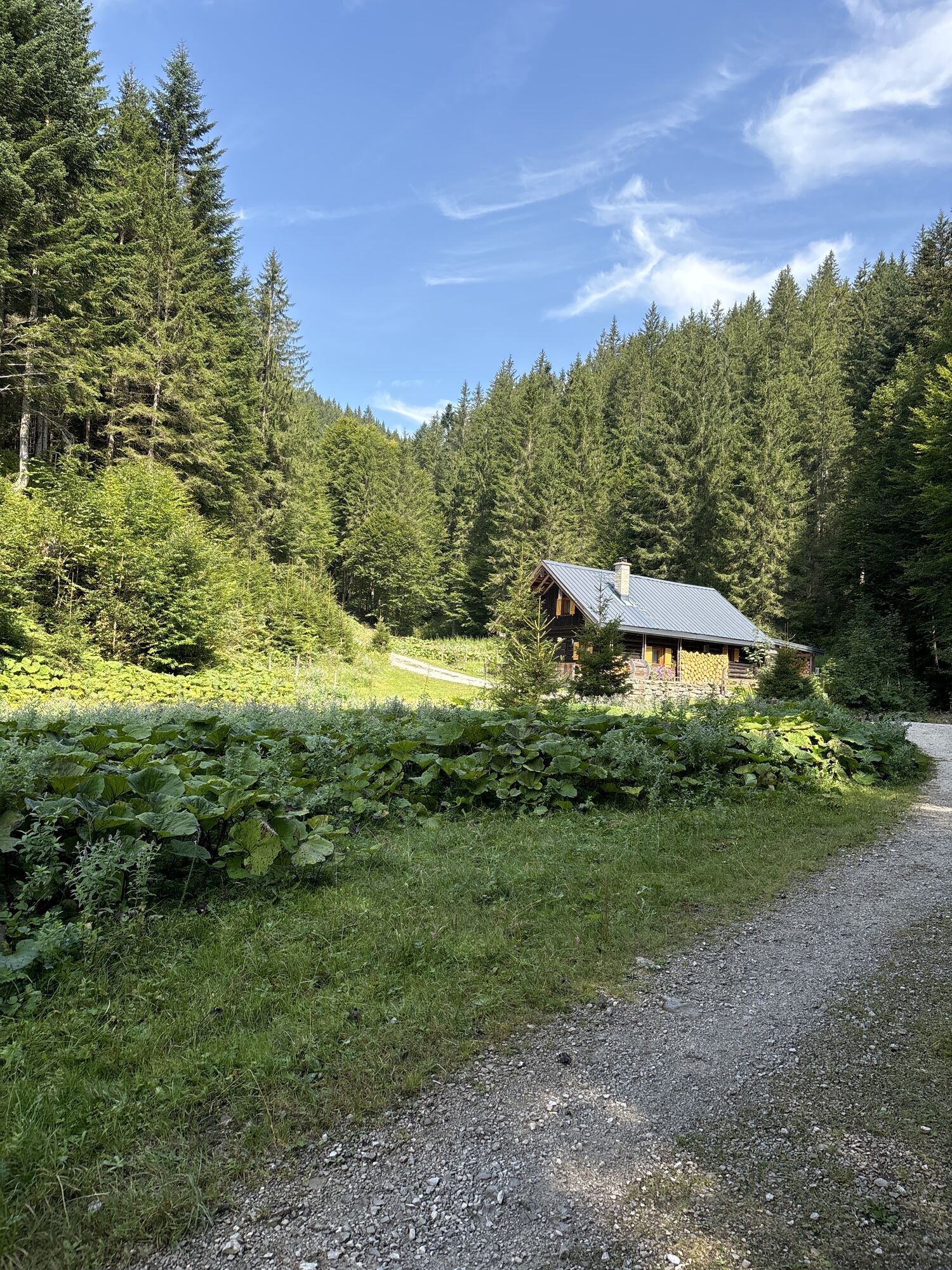
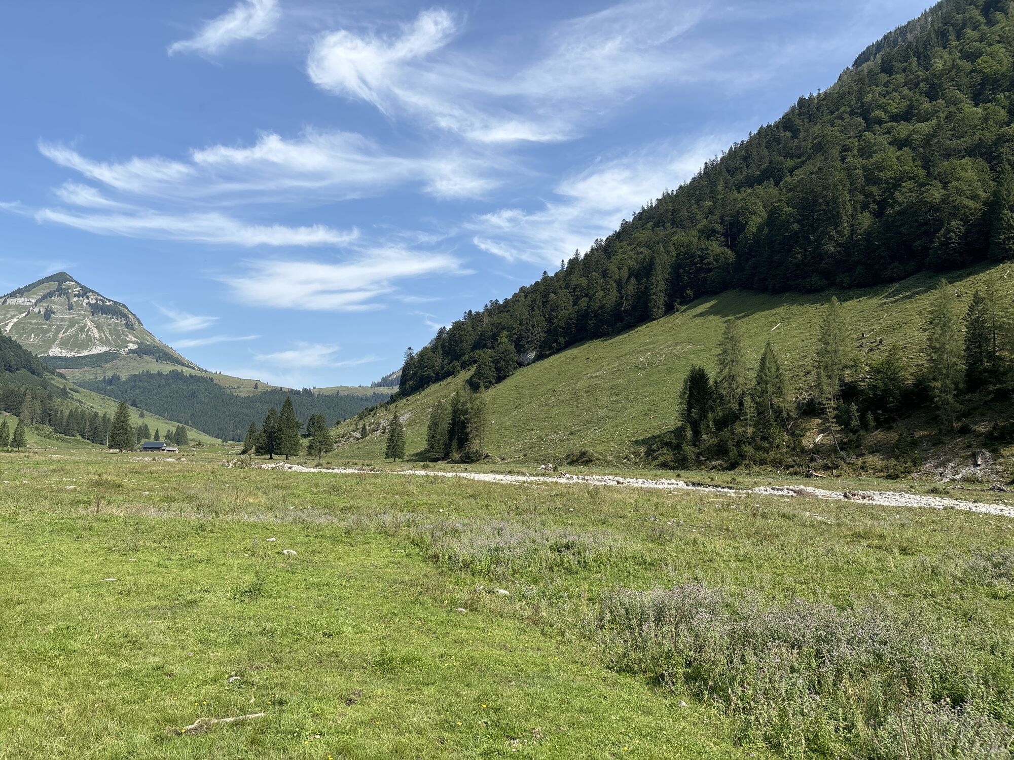
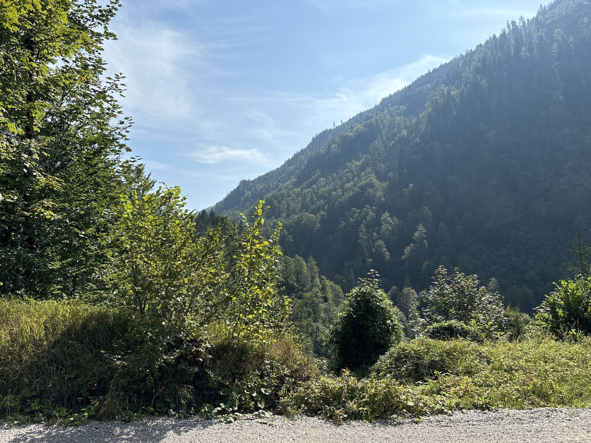
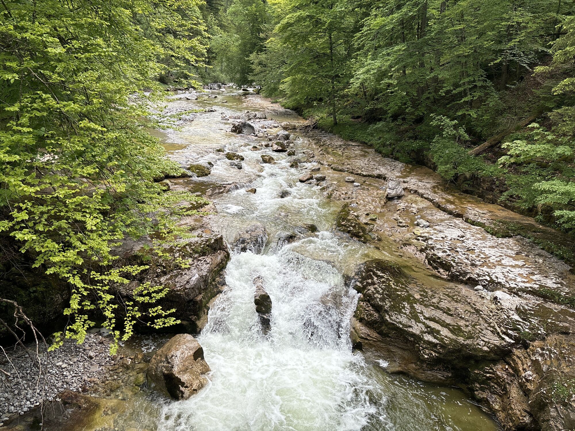
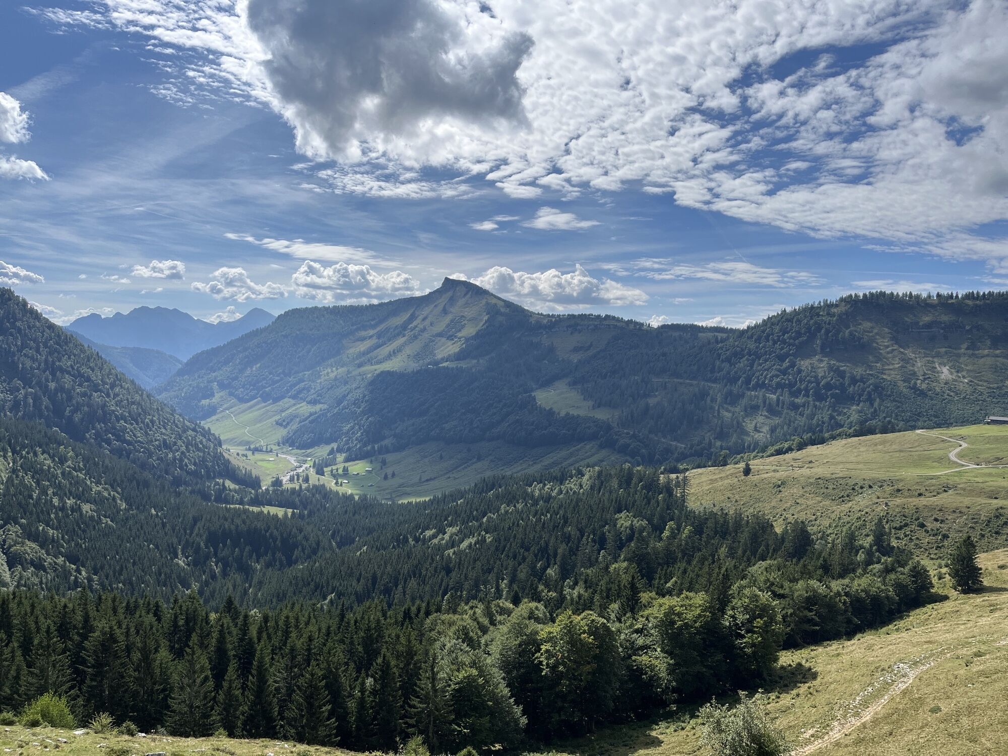
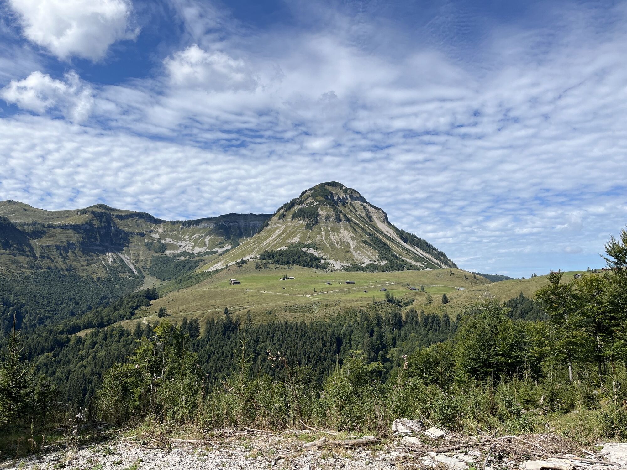
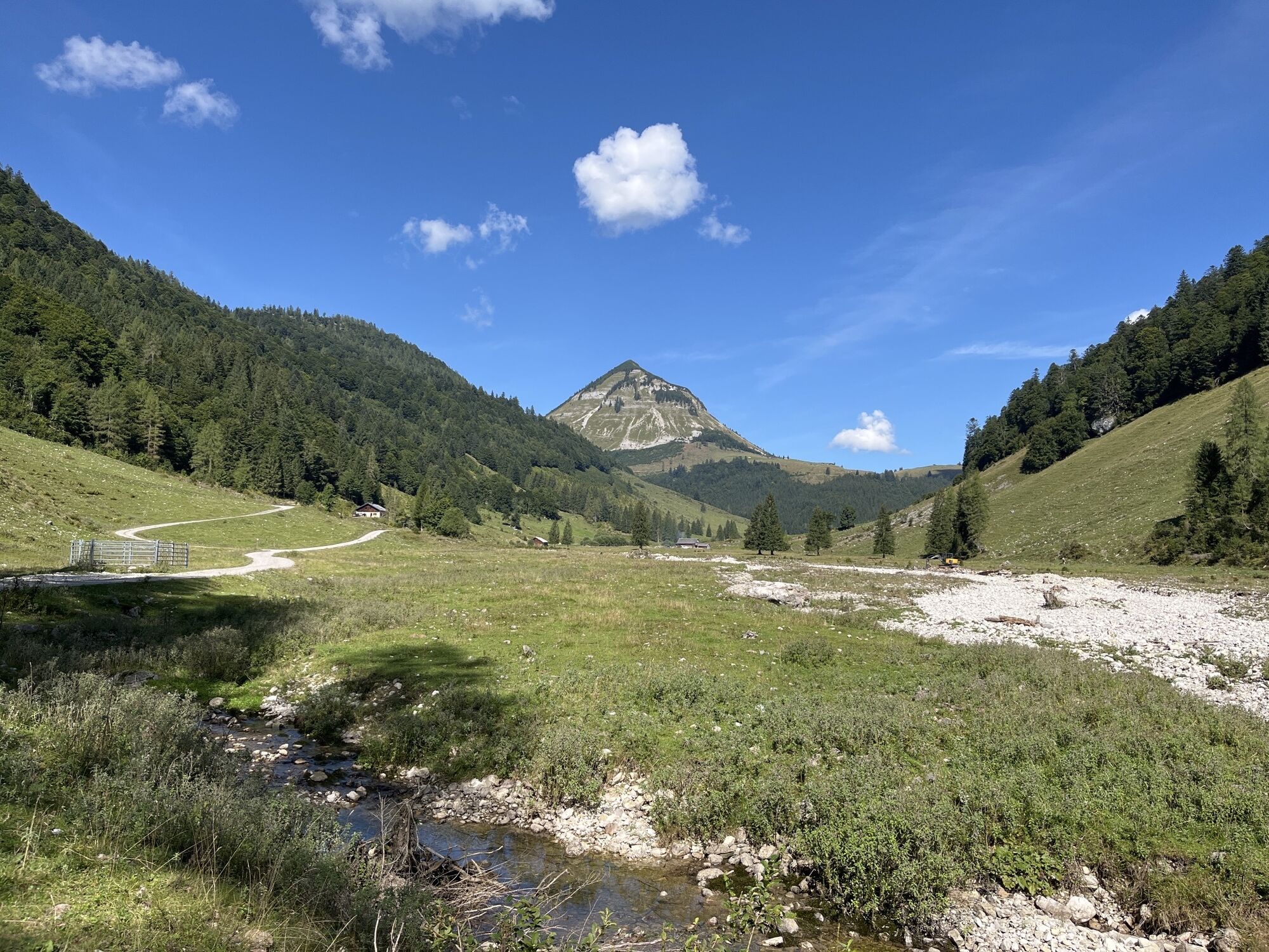
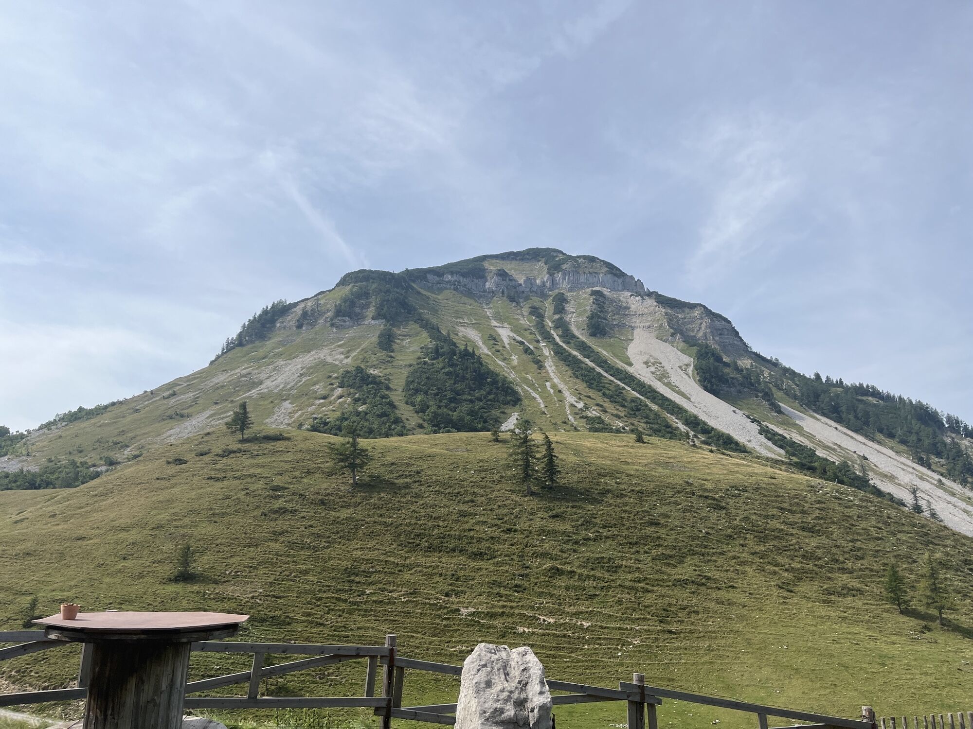
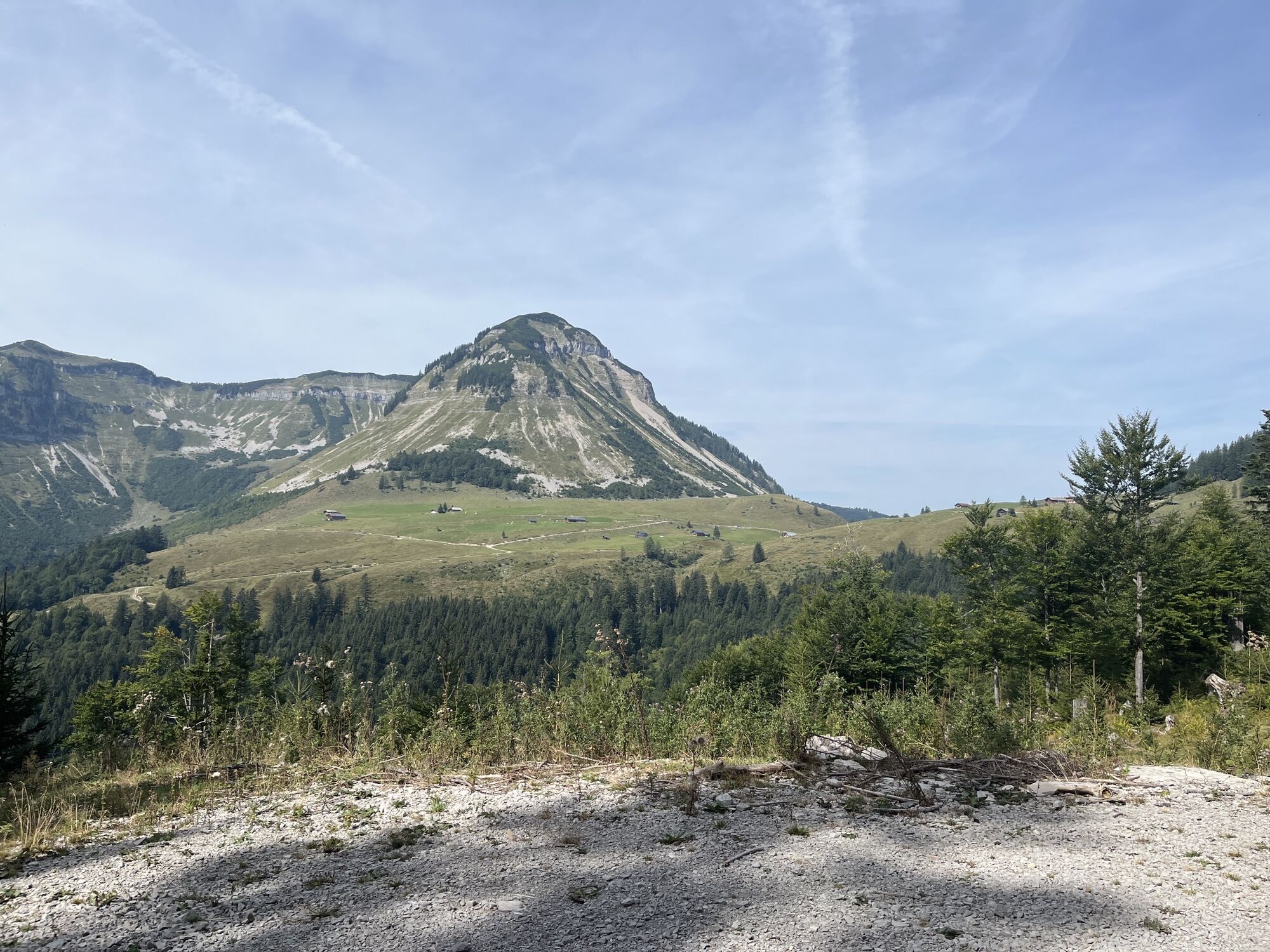
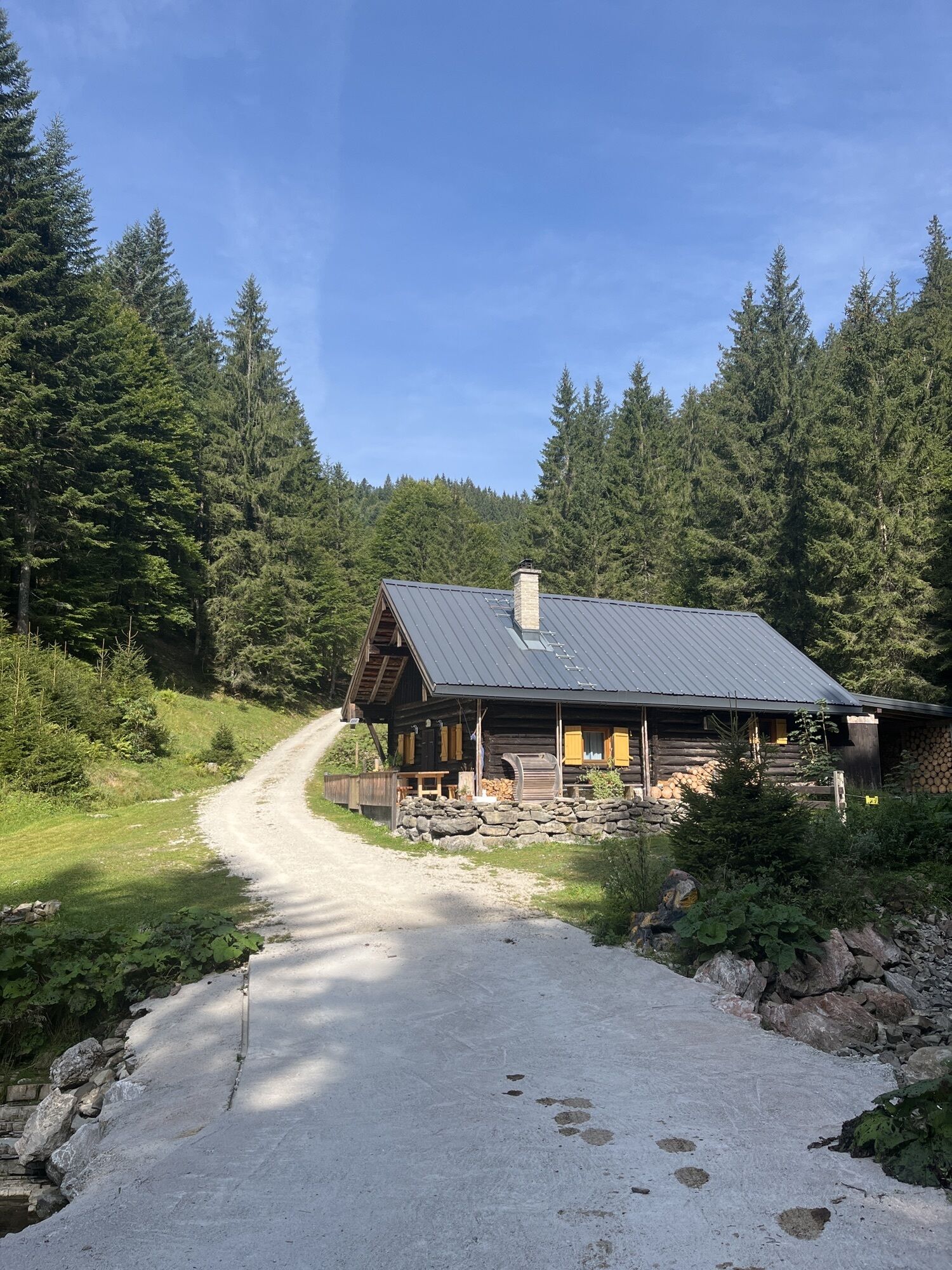
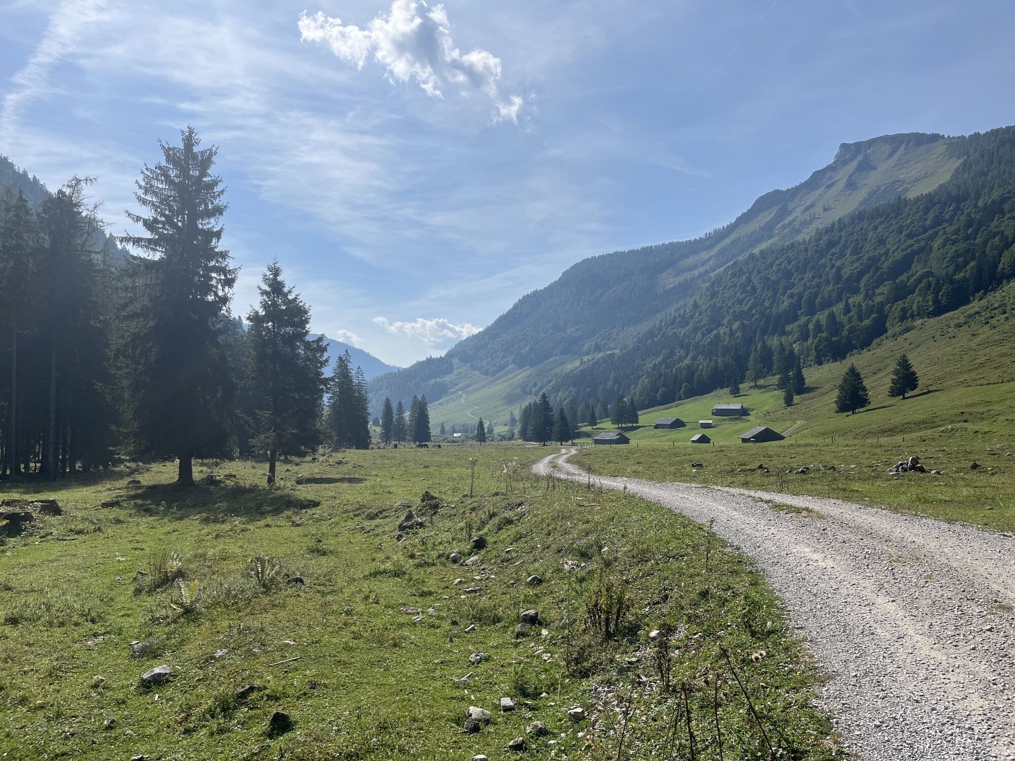
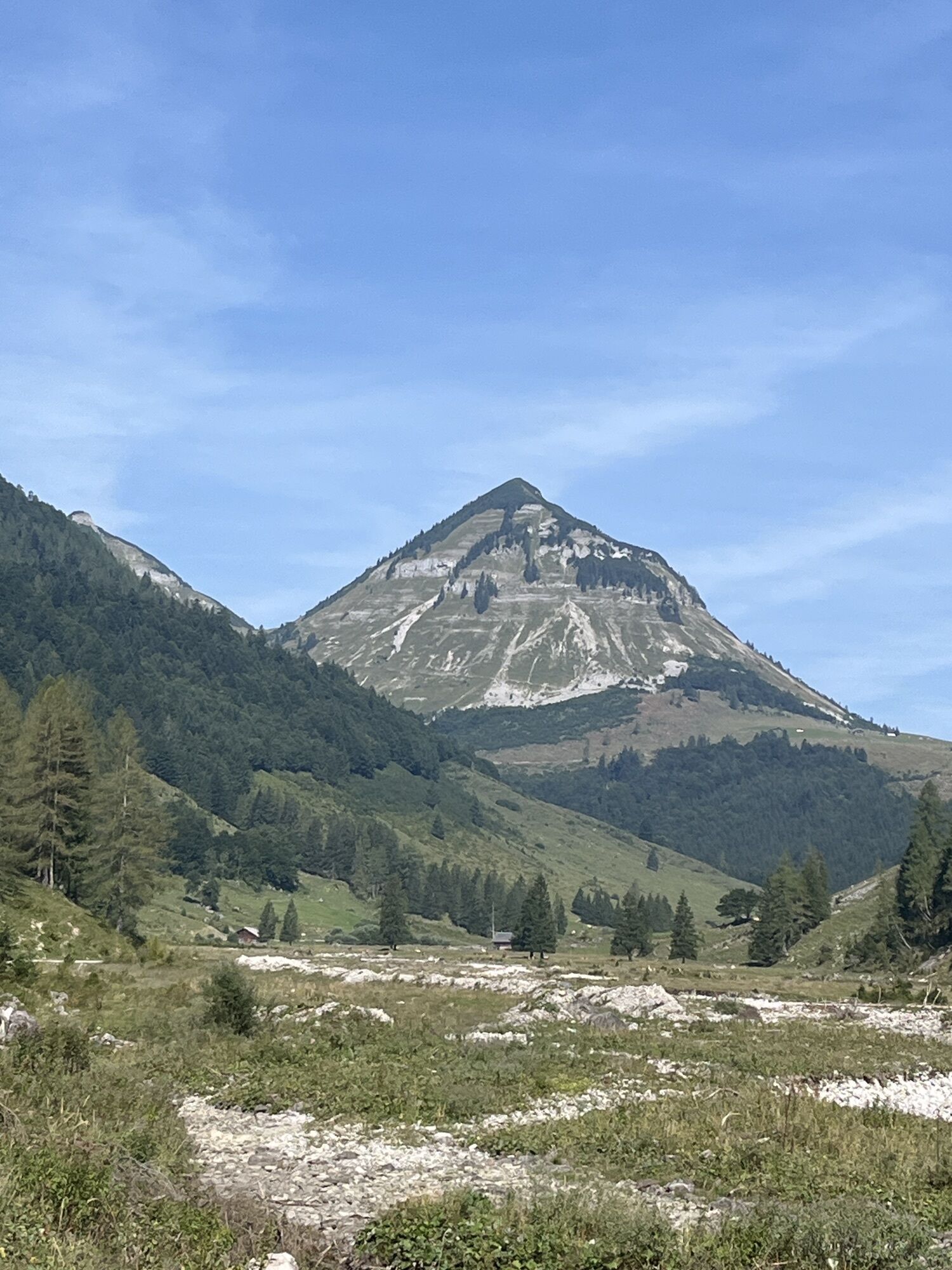
The mountain bike route initially runs on the old Postalm road, then through the Ackersbach valley to the Genner alms.

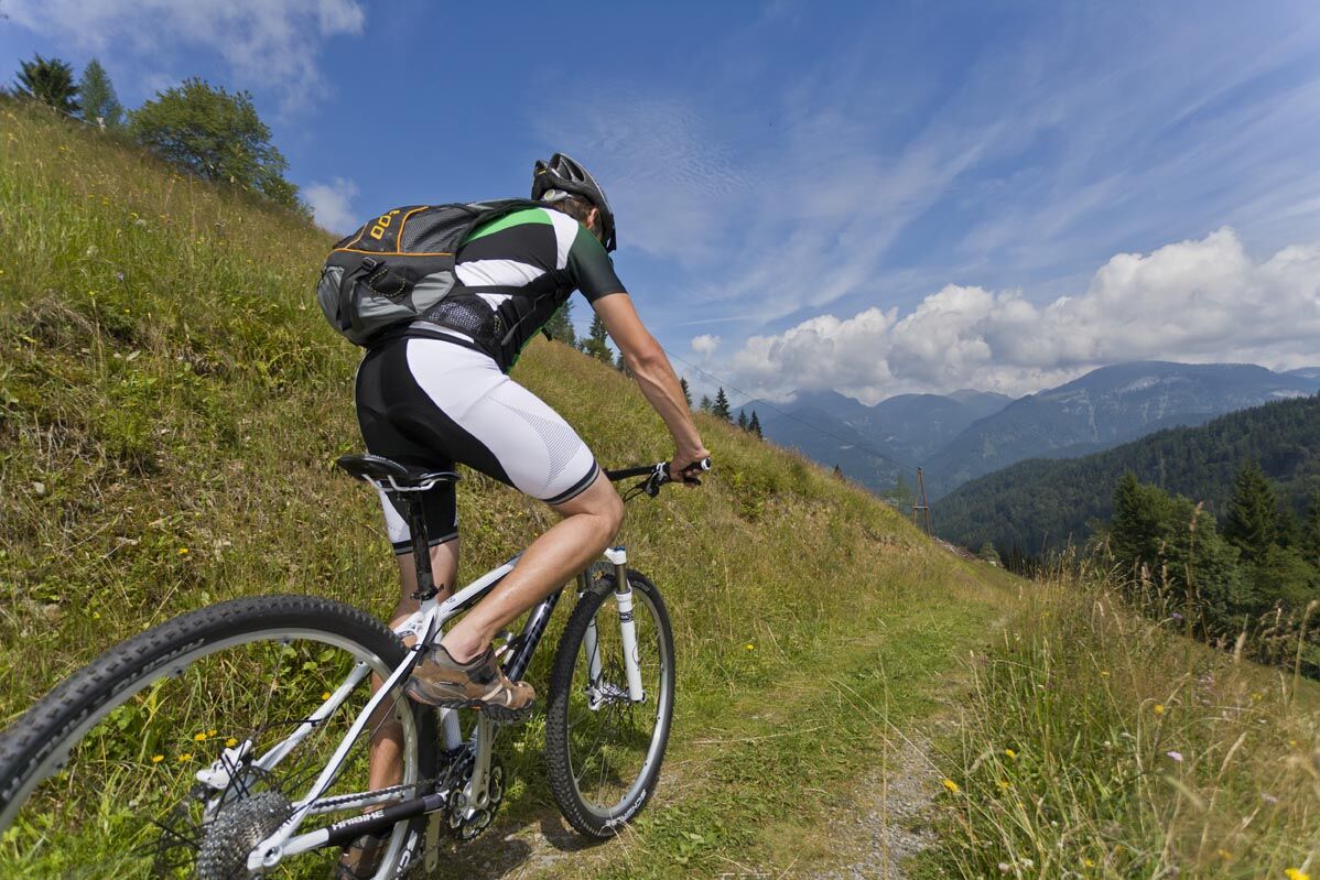

The route starts directly at the Gasthof Voglauerhof. After crossing the federal road and the bridge over the Lammer, turn left. After 600 m, turn right uphill, passing a disused gravel pit.
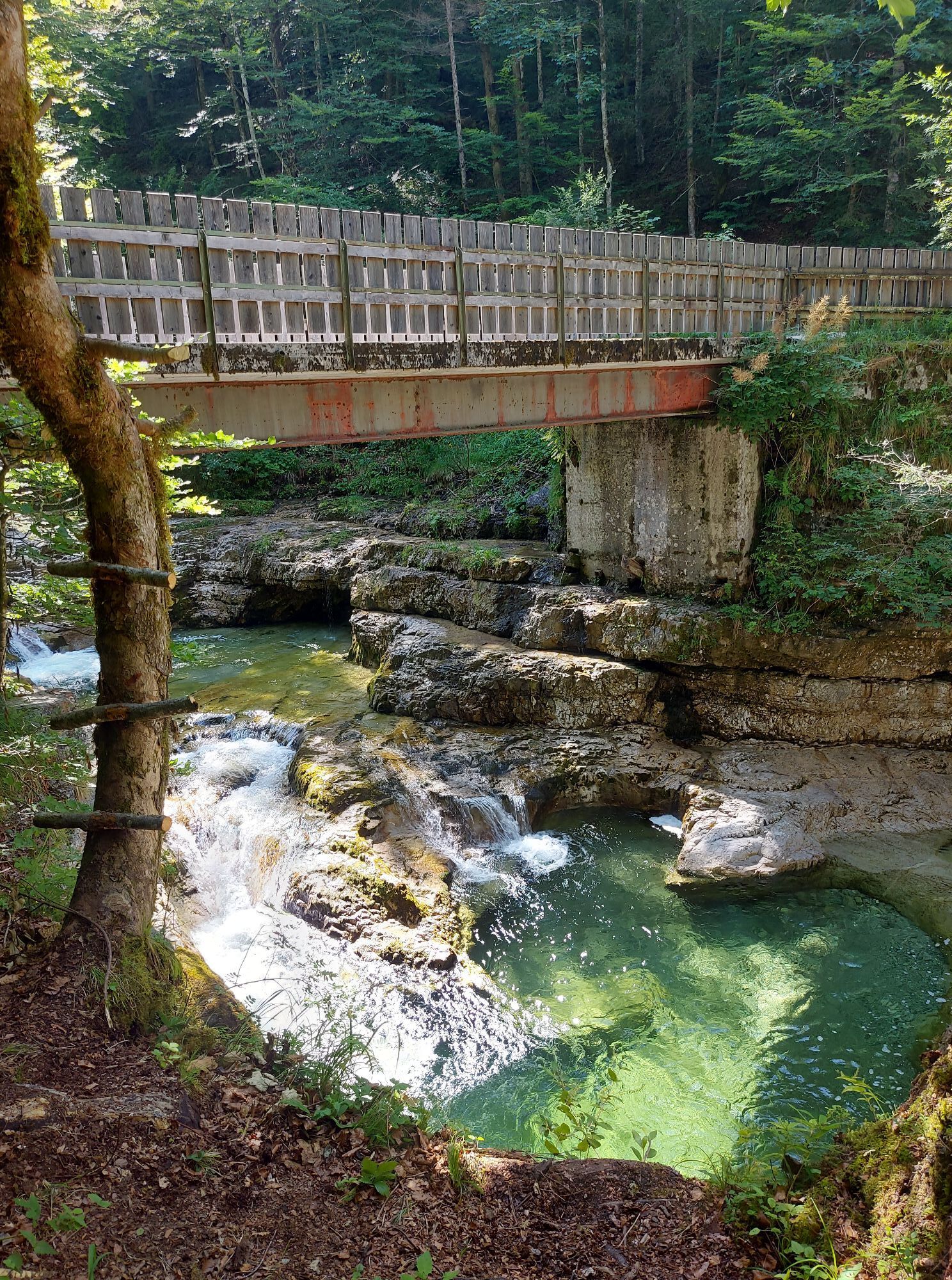
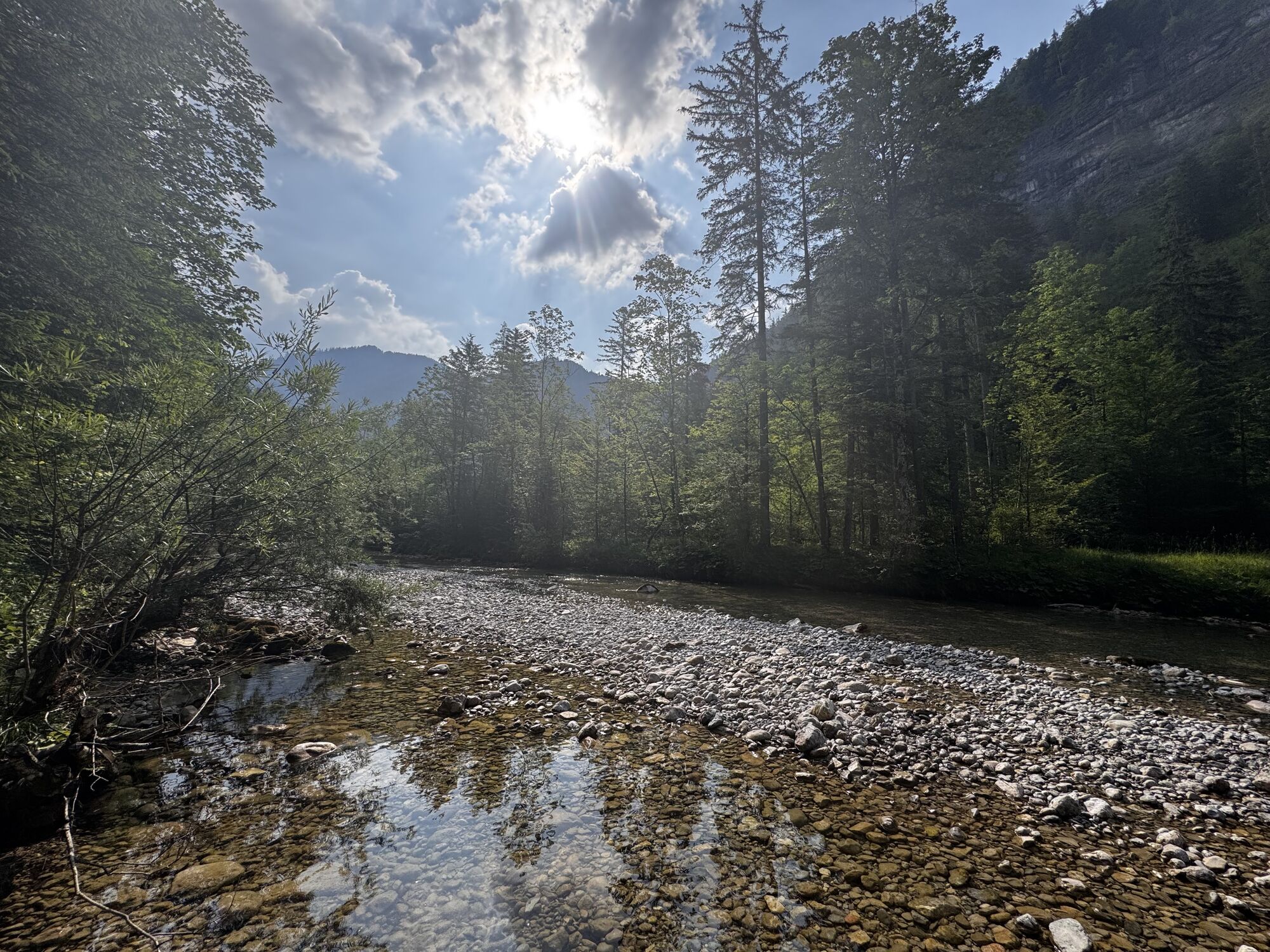
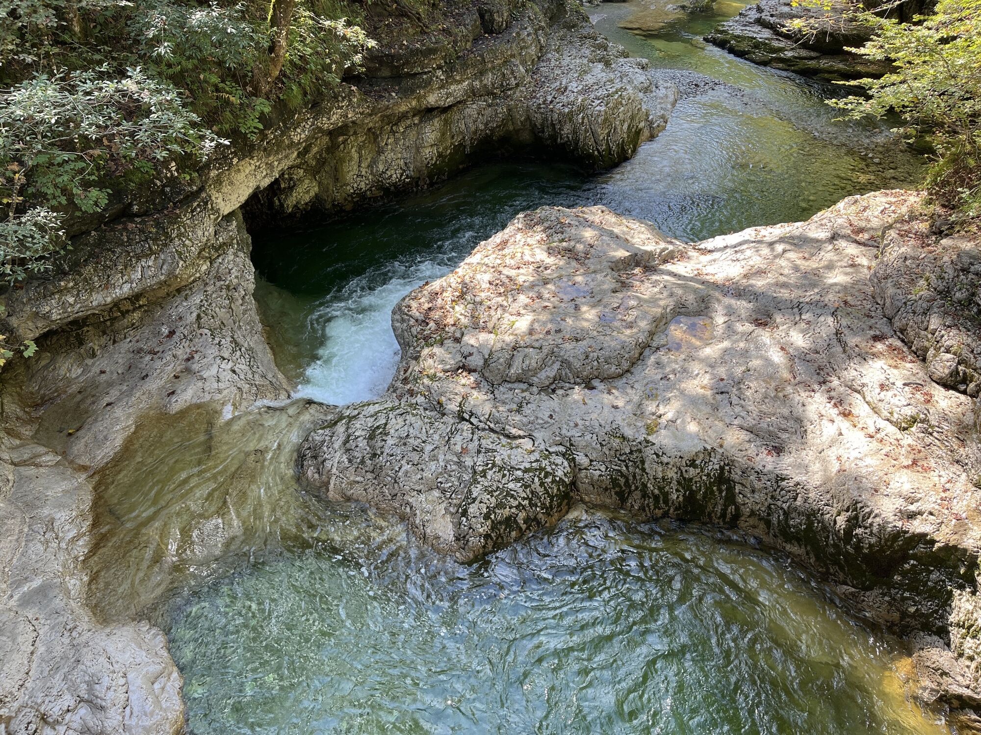
After 2.3 kilometers, you reach an old forester's house; here turn right onto the old Postalm road. Along the Aubach, you ride through the forest, past the Aualm, heading towards Postalm. In good weather, you can also use the numerous ponds of the Aubach for cooling off. At km 8.3, shortly before a bridge, you come to a junction. Turn left here and ride through the Ackersbach valley to the Genneralm. A romantically wild river is a constant companion. Before reaching the first viewpoint of the day, the path becomes a bit steeper. After the somewhat strenuous ascent, the huts on the Genneralm invite you to take a break.
The return is along the same route.
Tak
Use suitable mountain bike equipment and a helmet.
Beware of grazing cattle on the alpine pasture.
Observe the traffic regulations.
Motorway A 10, exit Golling, on federal road B 162 towards Abtenau to Voglau, park here on the right side at the Gasthof Voglauerhof.
From Abtenau about 5 kilometers to Voglau, park here on the left side at the Gasthof Voglauerhof.
Postbus from Abtenau or Golling. At the stop "Voglau Lammerbrücke".
Parking lot Gasthof Voglauerhof, commuter parking in the immediate vicinity.
Abtenau: www.abtenau-info.at
Mountain bike rental: Höll Trading Abtenau
Kamery internetowe z trasy




Popularne wycieczki w okolicy
-
4,7
Schwarzer Berg / Golling
średniWędrówka 2,54 km -
4,2
Pillstein Panorama Rundweg
światłoWędrówka 3,40 km -
4,9
From Rußbach over the Gamsfeld
ciężkiWędrówka 11,5 km -
4,7
Pleasure hike over the Falkenstein
średniWędrówka 9,81 km -
4,6
The Plombergstein: Adventure and summit panorama
światłoWędrówka 4,12 km -
4,5
Abtenau: Postalm circular route 3 - Wiesleralm and Postalm hut
średniWędrówka 9,09 km -
4,1
Illinger Alm-Runde
średniWędrówka 9,89 km -
4,8
Abtenau: Postalm circular route 2 - Labenberg & Pitscherberg alms - (IVV circular hiking trail)
światłoWędrówka 10,1 km -
4,3
Idyllic Hintersee Circuit
światłoWędrówka 5,10 km -
4,8
Schwarzeneckalm-Bleckwand
światłoWędrówka 5,94 km
Wędrówki i tropienie


Nie przegap ofert i inspiracji na następne wakacje
Twój adres e-mail została dodana do listy mailingowej.





