







TG08 Loseggalm/Mahdalm route Annaberg
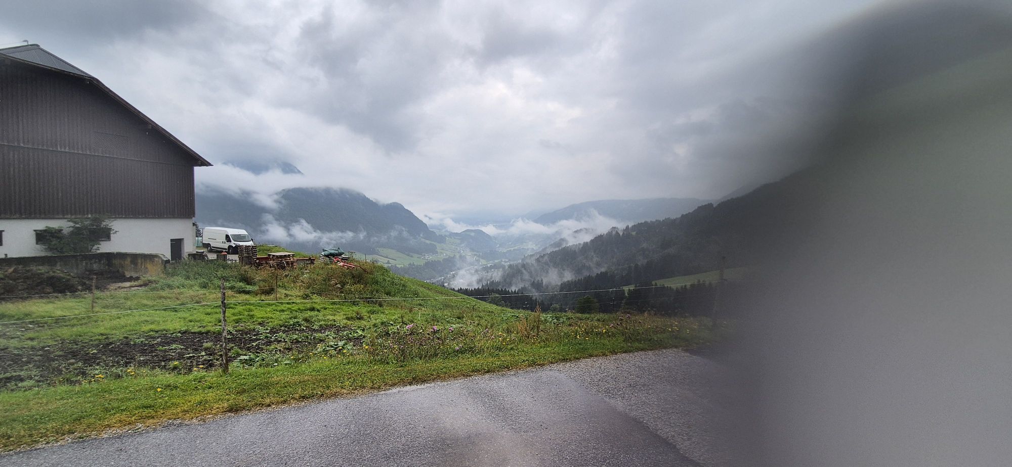
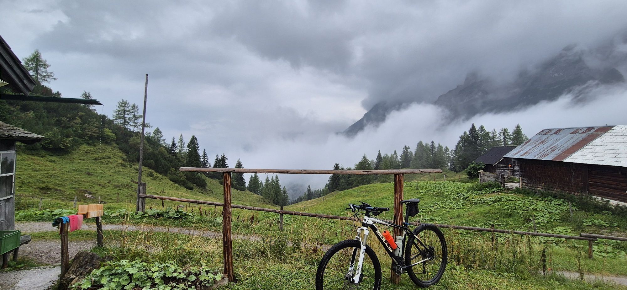
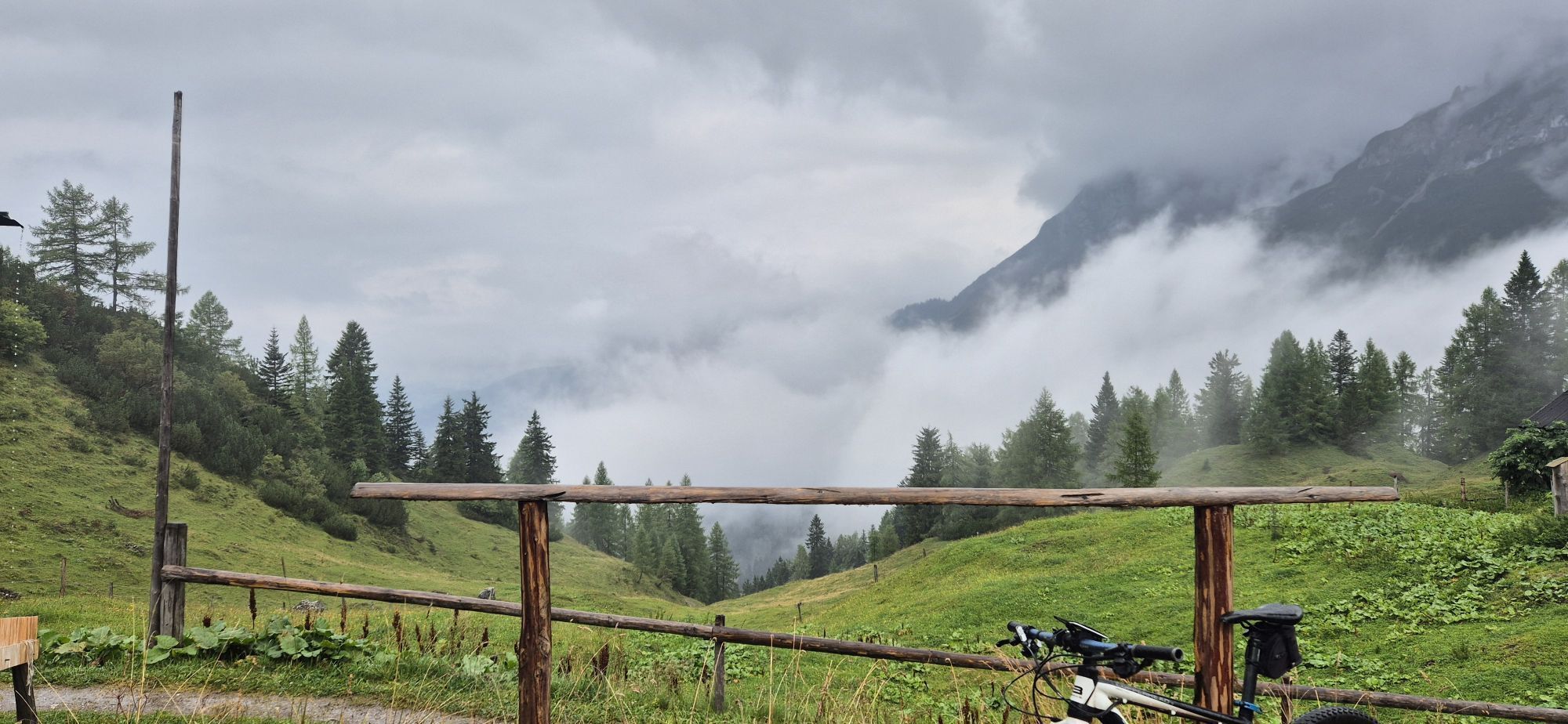
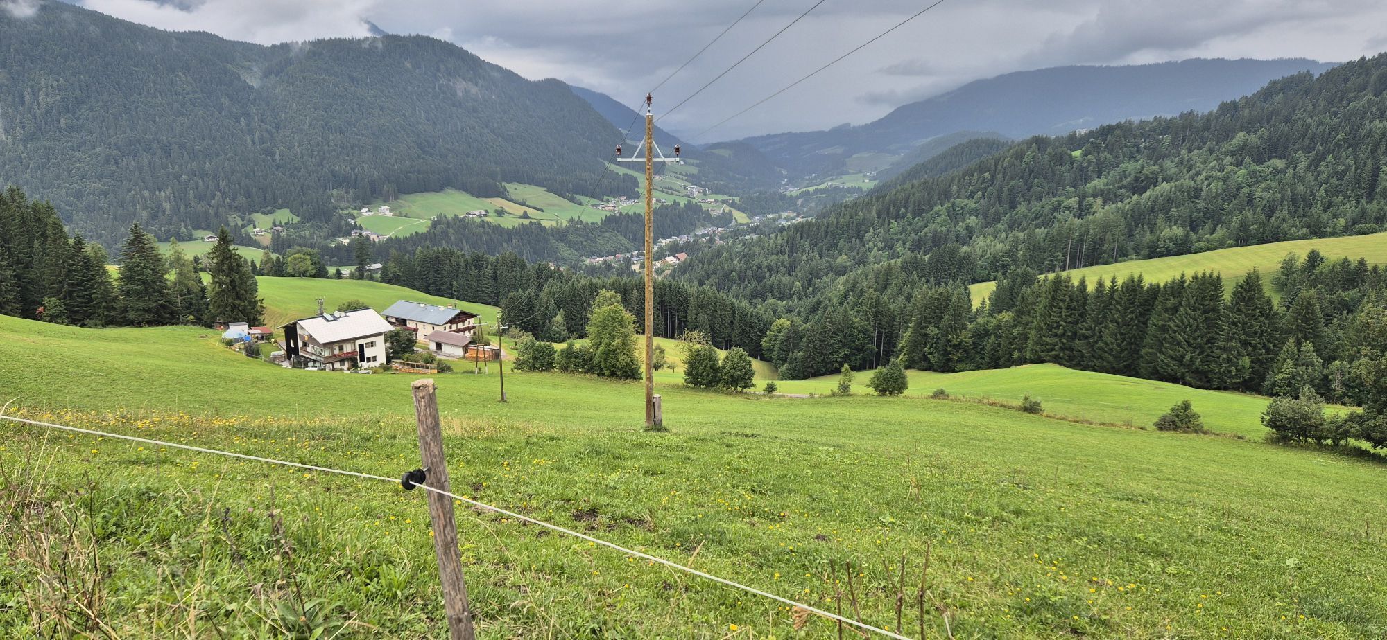
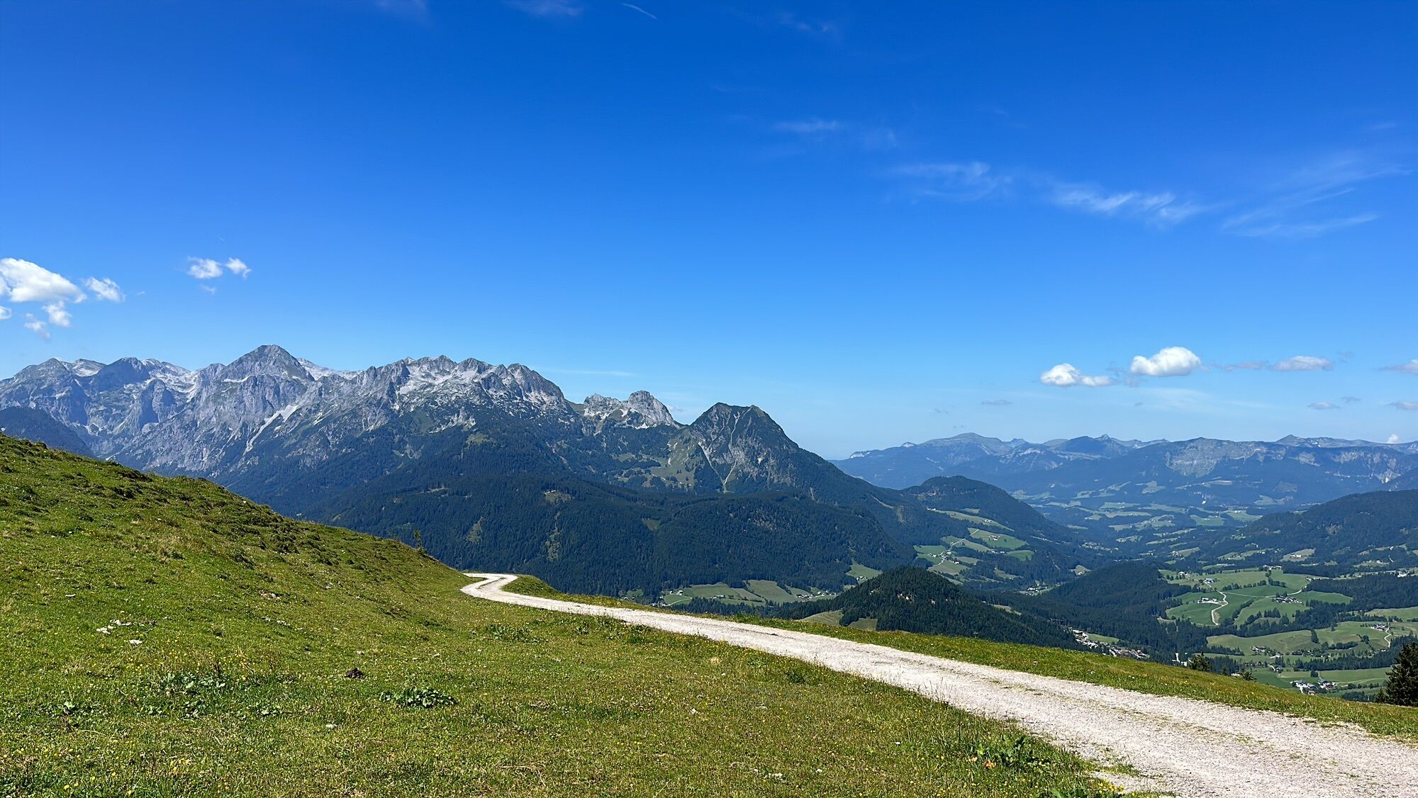
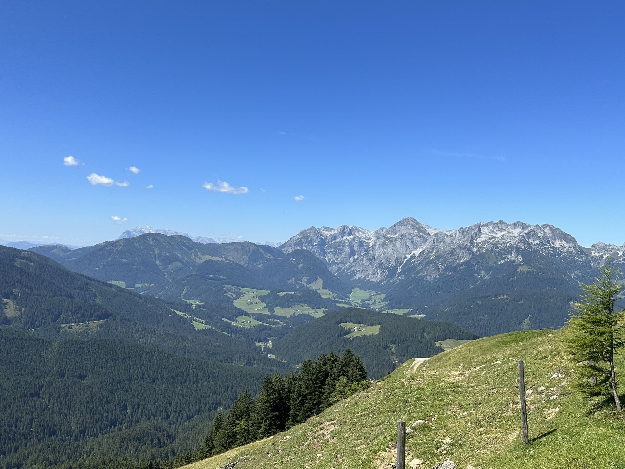
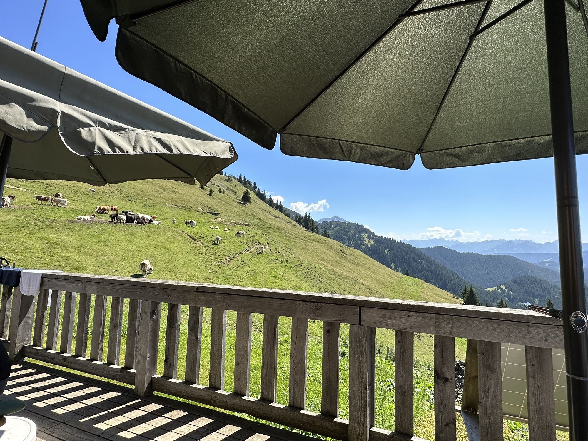
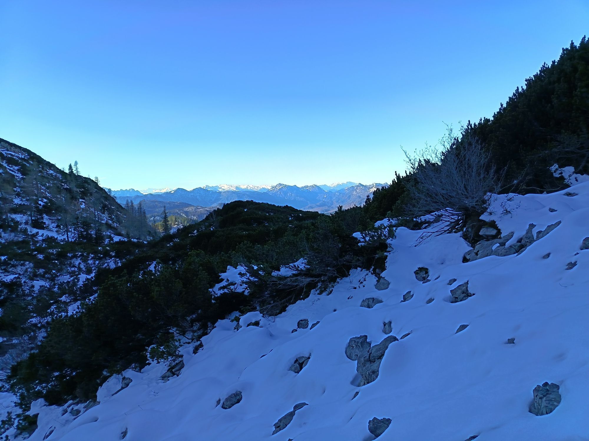
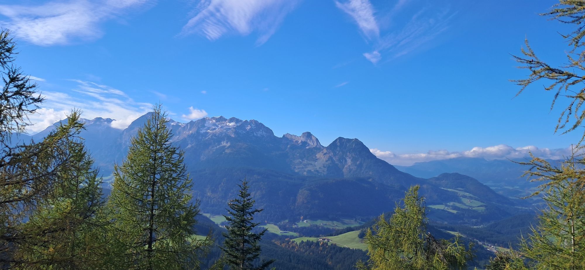
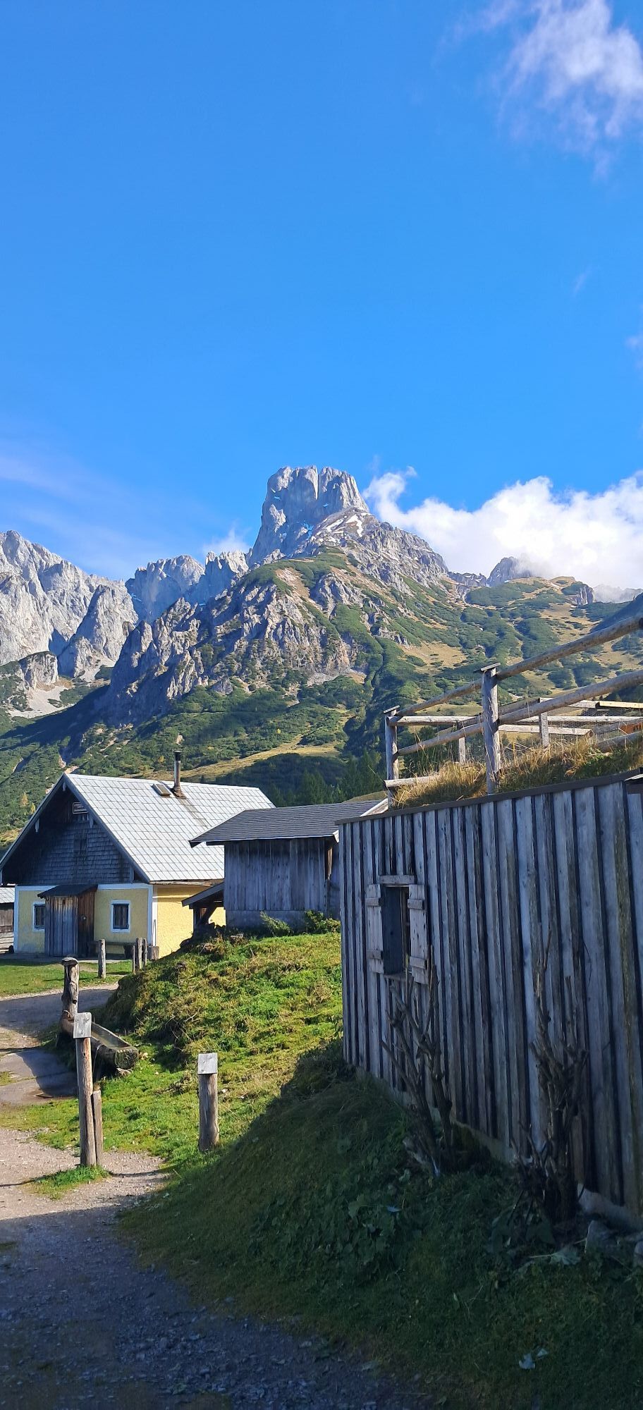

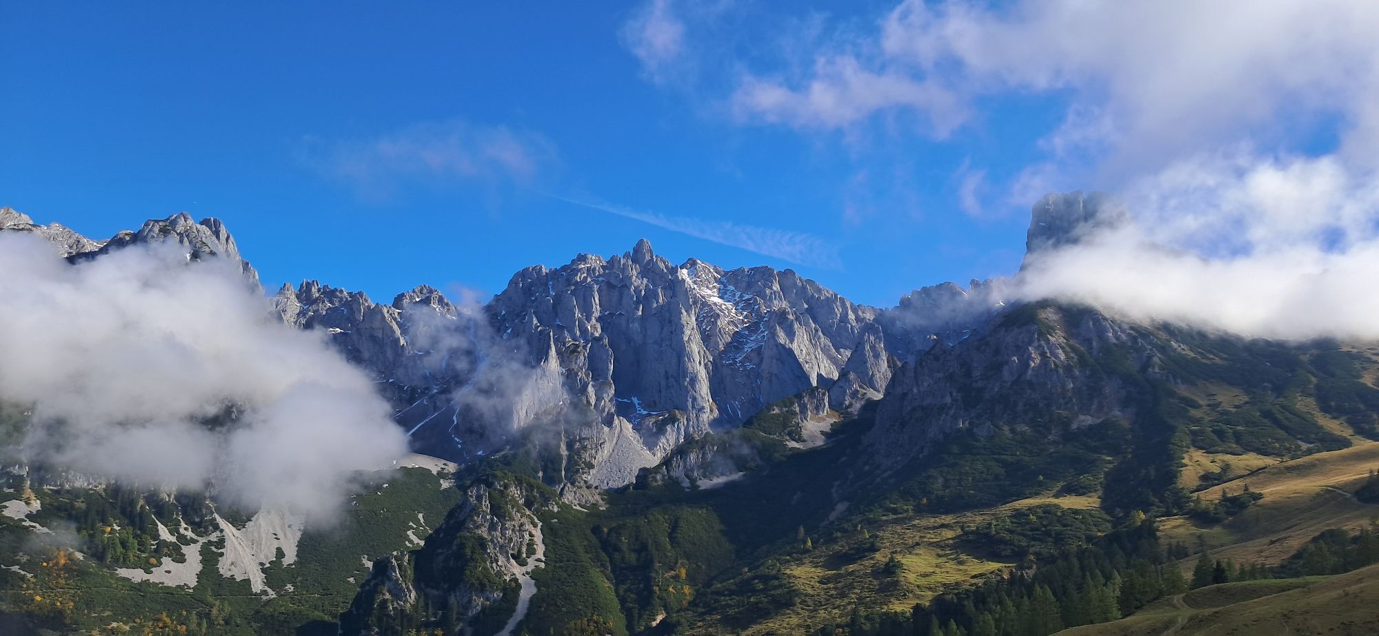
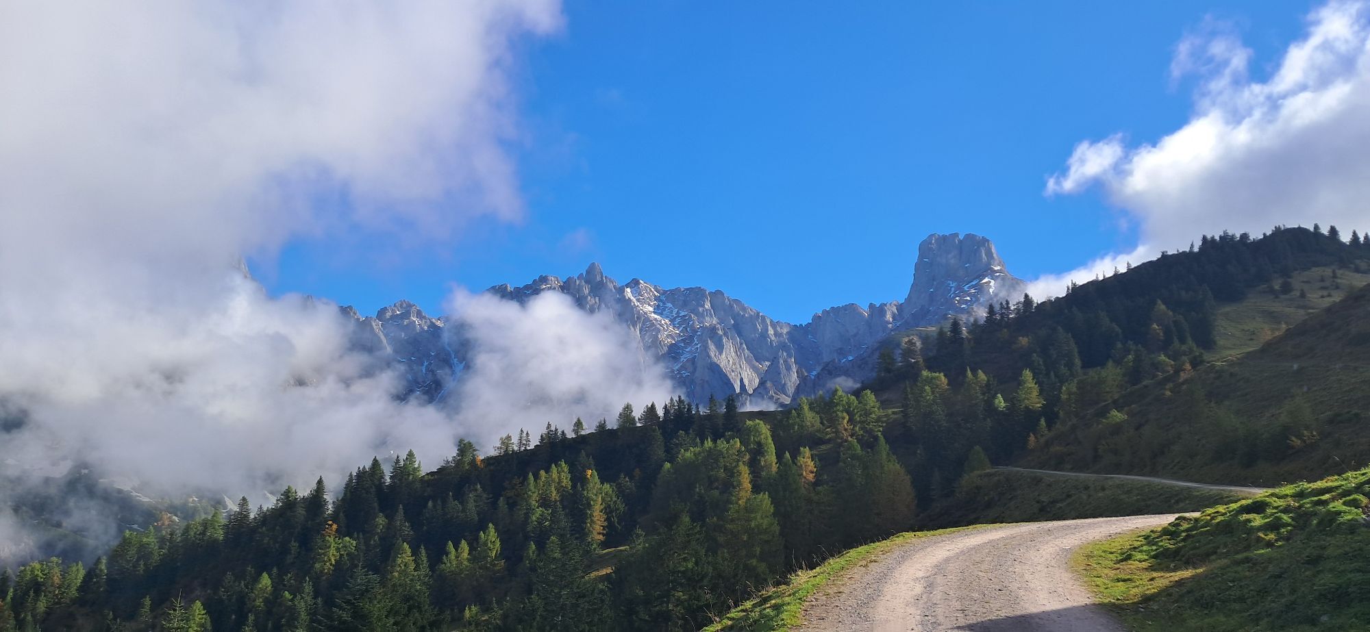
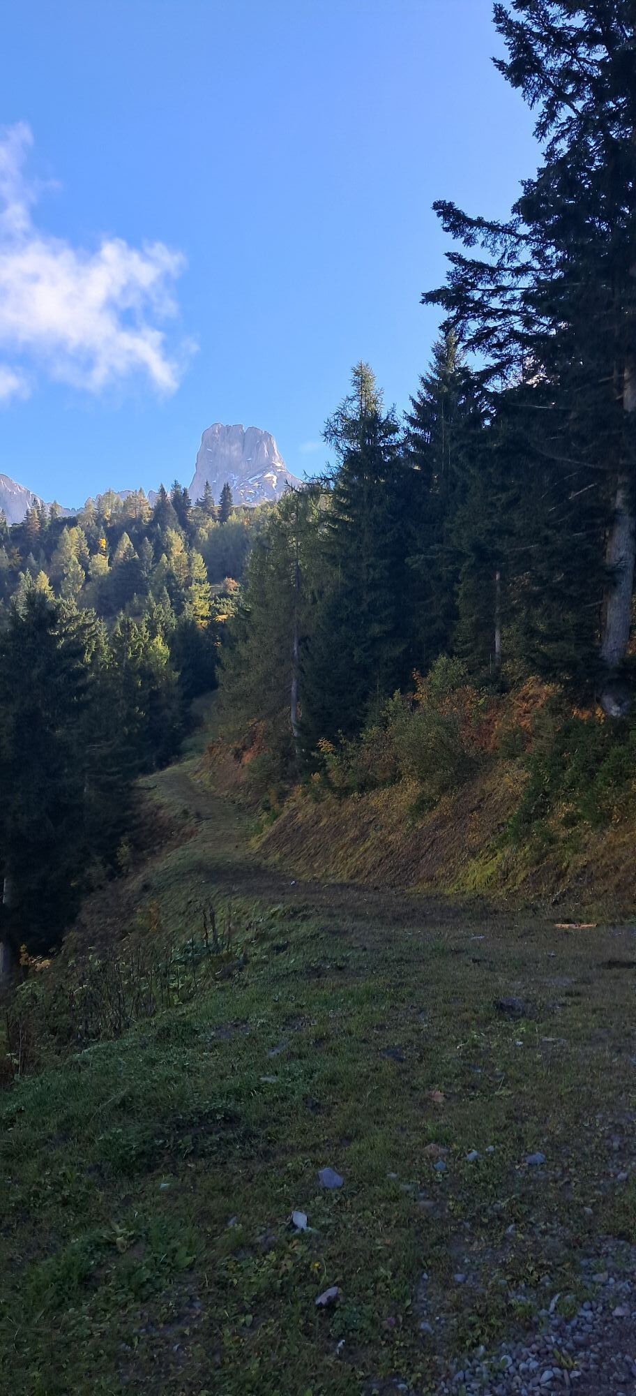
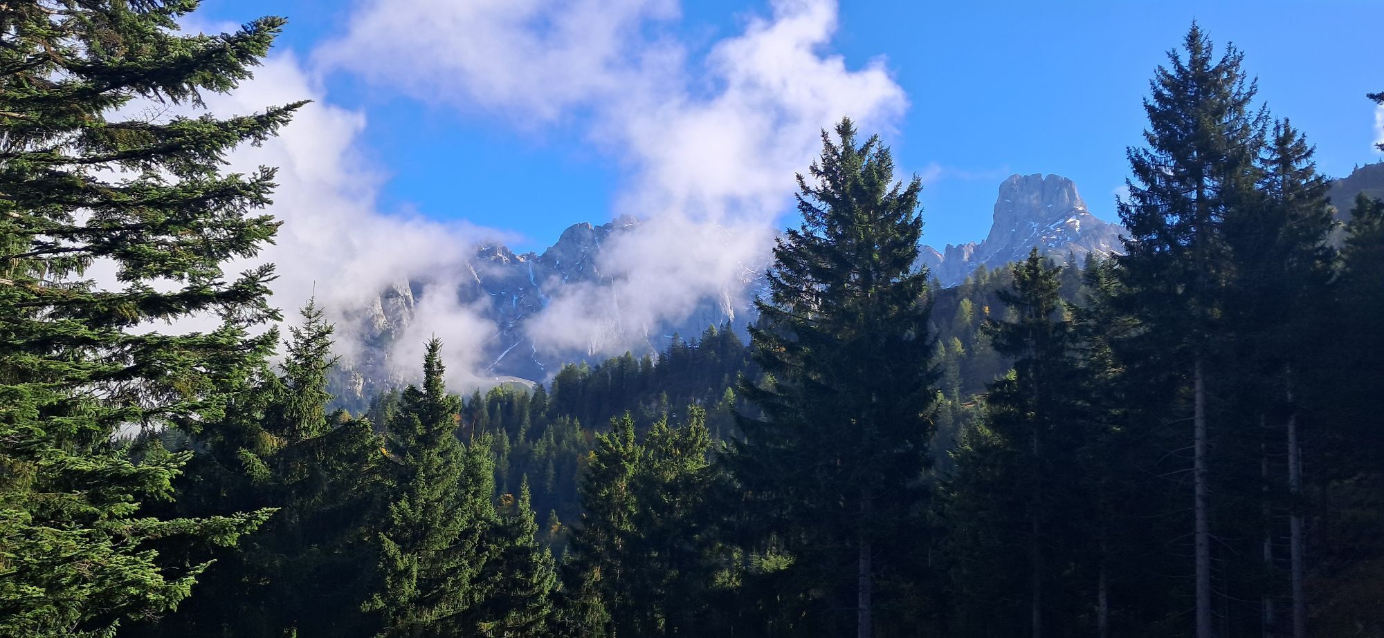
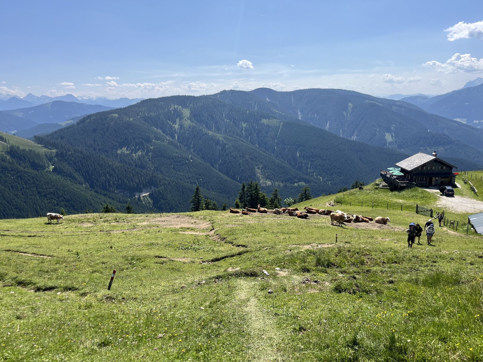
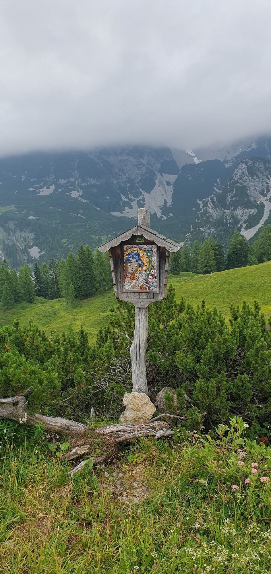
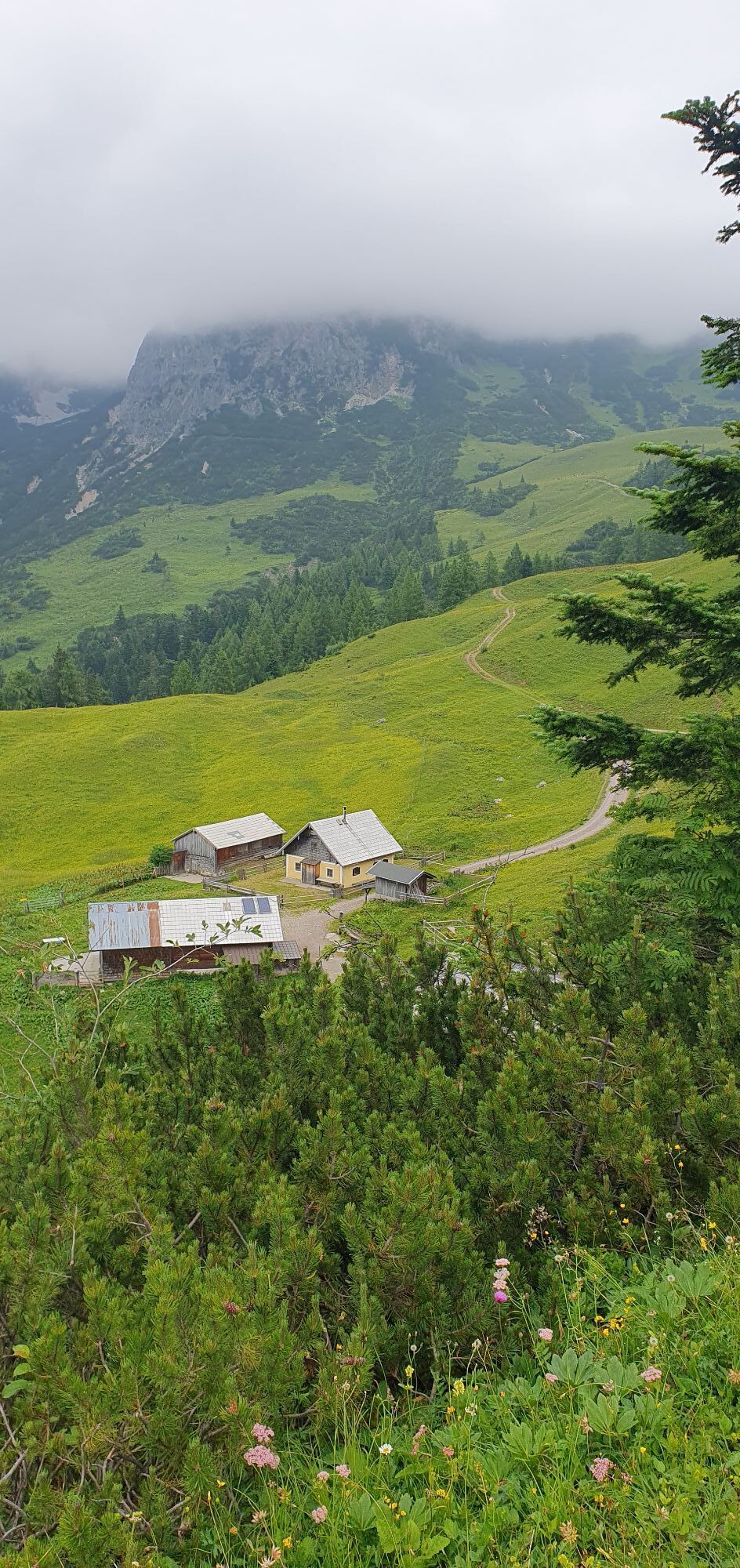
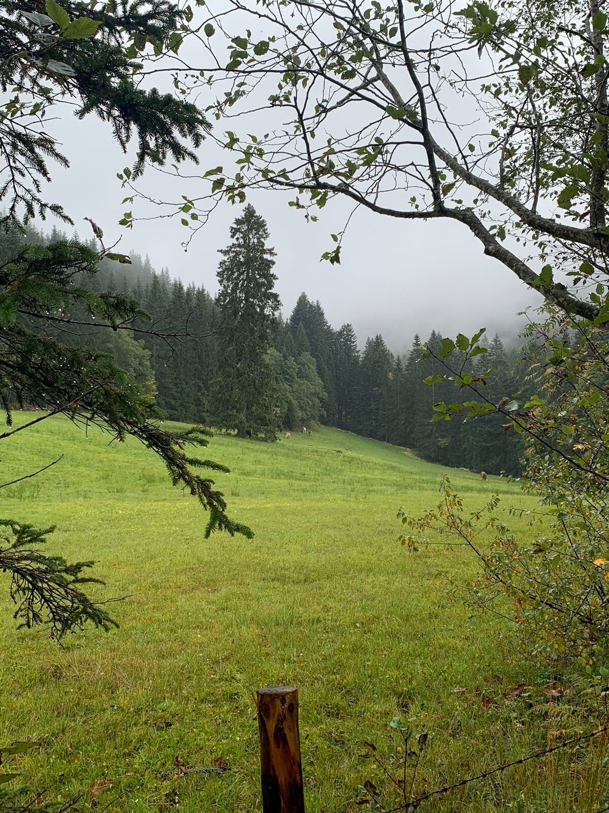
Scenic route with the possibility to switch from bike to hike at the alpine pastures and take the approx. 30-minute ascent to Mahdriedl.

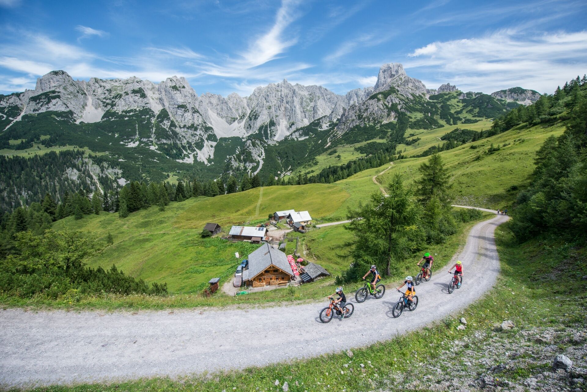
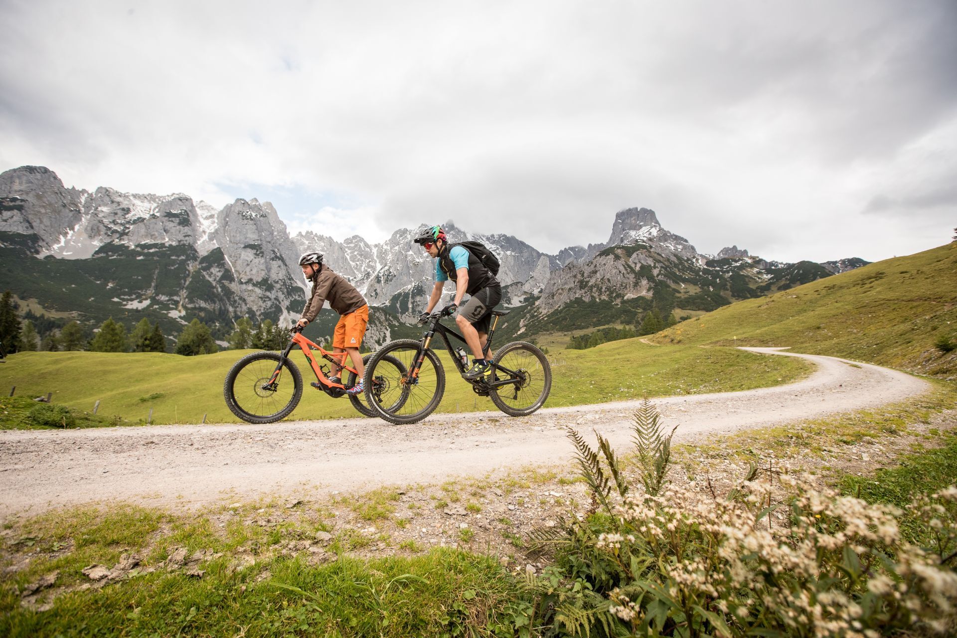
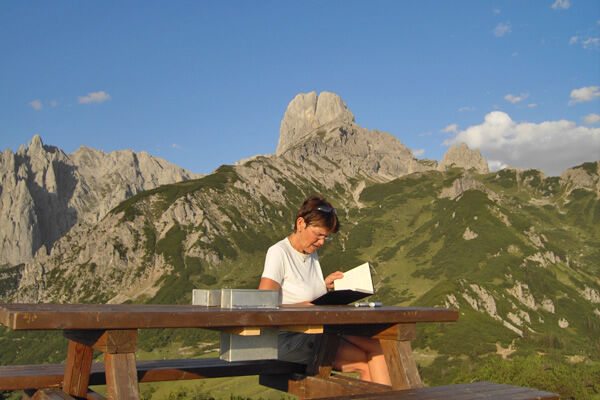
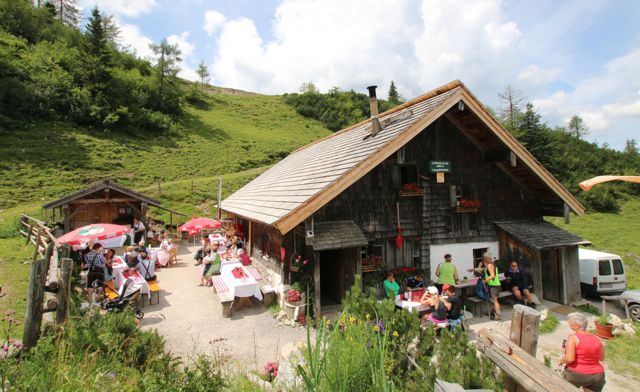
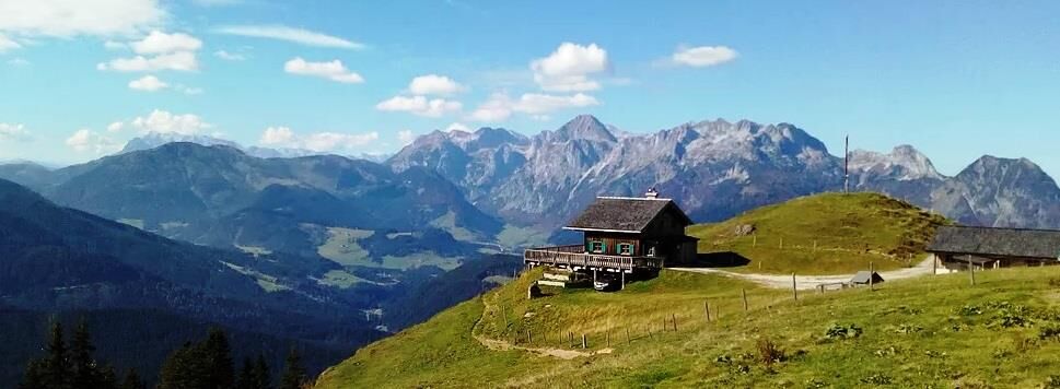

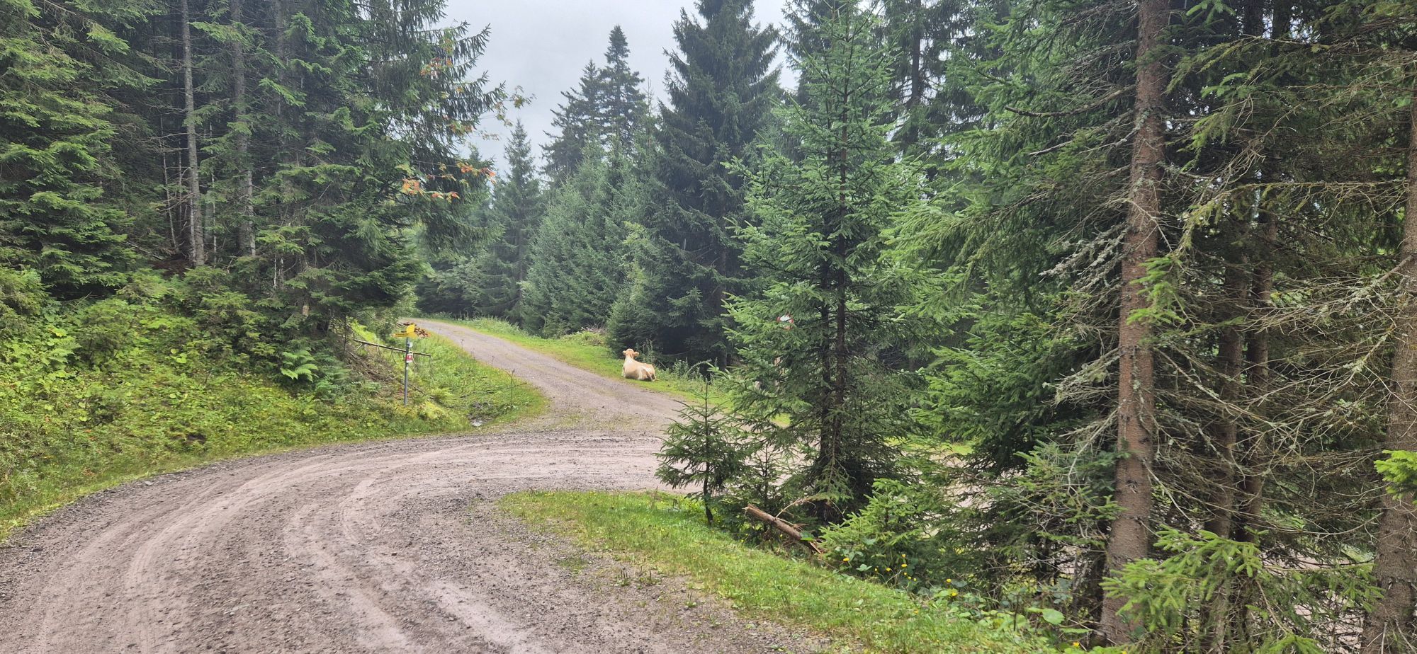
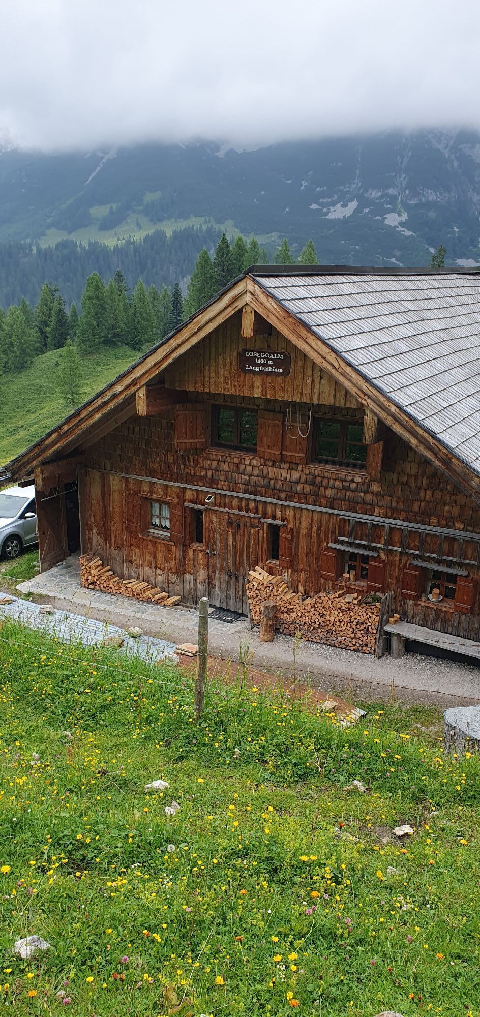
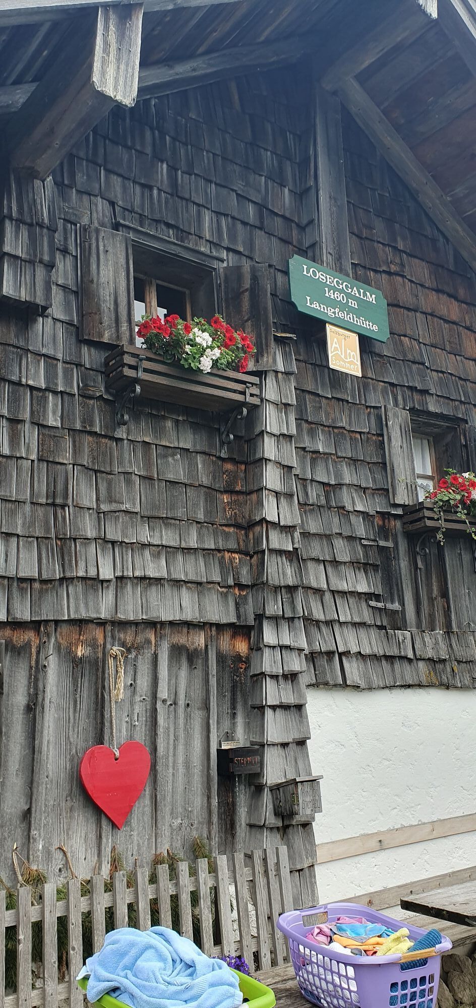
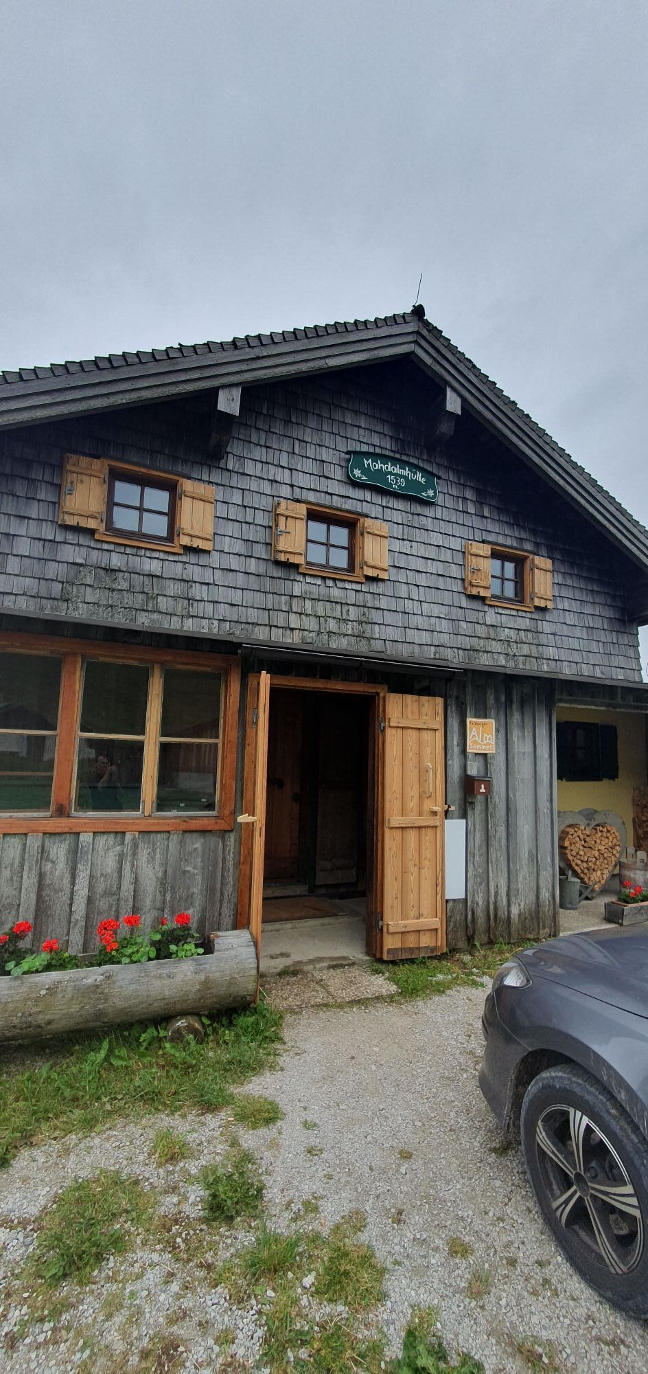
We start uphill from the Donnerkogelbahn, passing the Alpendorf Dachstein West towards the south and after nearly 2 km reach a forest road that leads us flat and winding through the woods. After a short asphalt section, we reach the Mauerreith parking lot near the alpine pastures. From here, general driving is prohibited – except for mountain bikers. From here, the forest road winds upward at a consistent steepness in numerous switchbacks, and after about 10 km you come to a fork and must choose – left to Loseggalm or right to Mahdalm. You can’t go wrong: Both alpine pastures are rustic, beautifully situated and invite you to a well-deserved rest; you should actually visit both. Whatever you decide, the return route is the same as the way there.
Tak
If you also hike up to the Mahdriedl after the bike tour, please don't forget hiking boots in your backpack. The section up leads over an alpine path.
Please note that livestock is kept on the alpine pastures.
Please observe the traffic regulations.
Motorway A 10, direction Villach, exit Golling, on the federal highway B 162 towards Abtenau, then towards Annaberg
Motorway A 10, direction Salzburg, exit Eben, continue towards Niedernfritz, turn right onto B 162 towards St. Martin - Lungötz - Annaberg
Parking lot Donnerkogelbahn Annaberg Astauwinkel (free)
Download the route as a single map HERE.
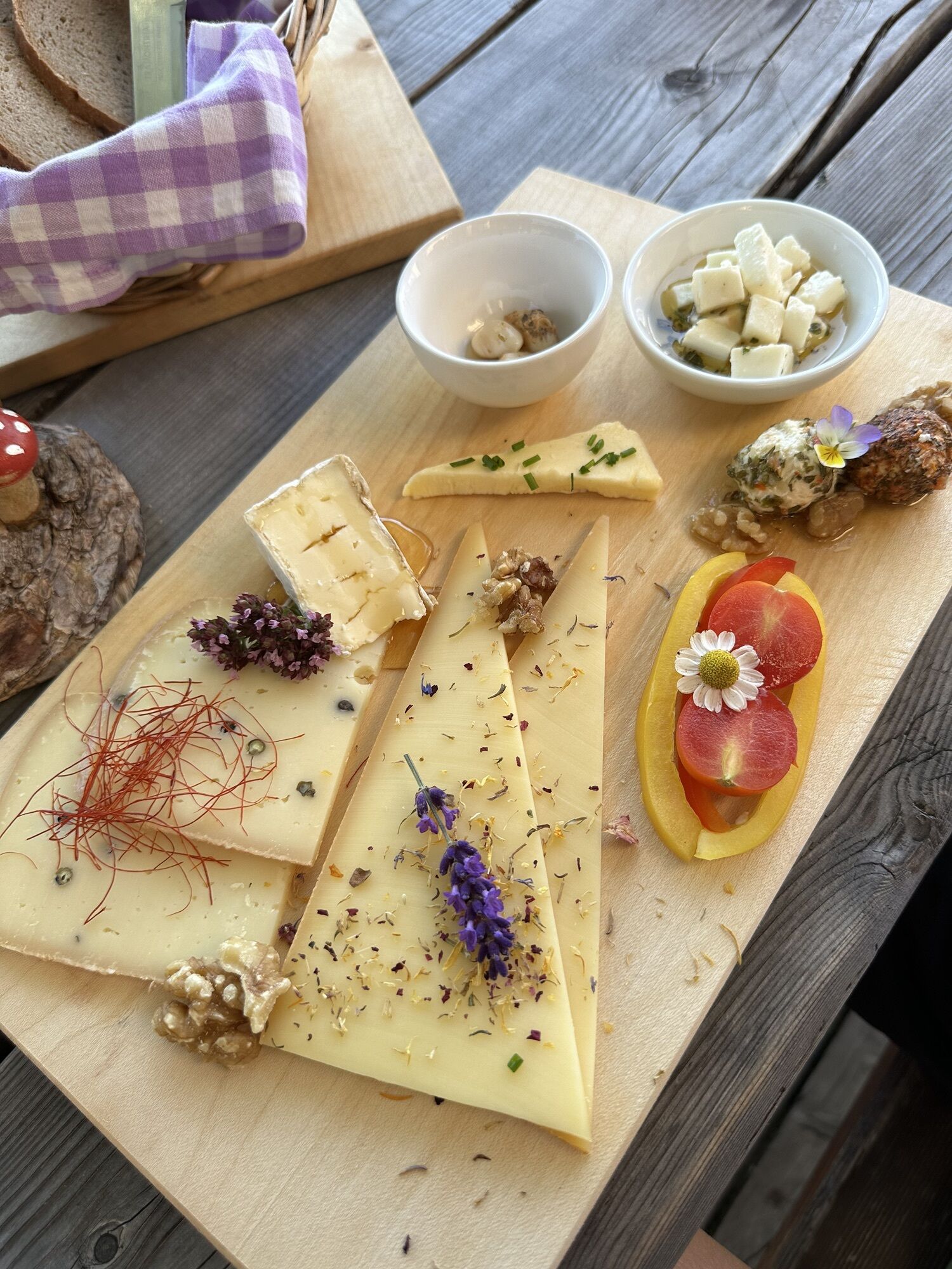
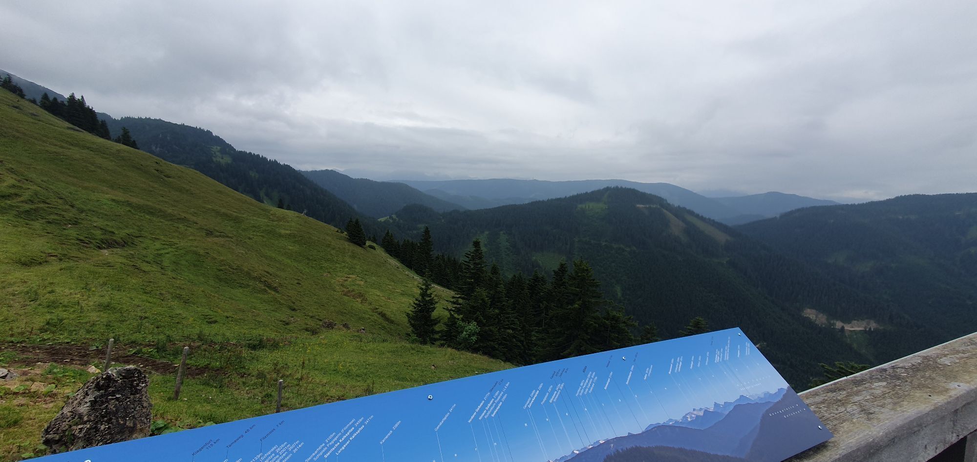
Visit one of the rustic alpine pastures. The Mahdalm impresses with a magnificent view, at the Loseggalm delicious homemade cheese is offered.

Kamery internetowe z trasy
Uzyskaj wgląd
Zawsze na żywo z ponad 9 500 kamer internetowych. bergfex Jako użytkownik Pro, możesz teraz zobaczyć odpowiednie kamery internetowe dla wielu wycieczek w aplikacji wycieczki od. Pozwala to na bezpośredni podgląd aktualnych warunków.

Popularne wycieczki w okolicy
-
4,5
Ramsau am Dachstein: Steinerne Jungfrauen
Wędrówka 8,11 km -
4,3
Filzmoos: Rötelstein (Rettenstein)
Wędrówka 9,50 km -
4,8
Werfenweng Mountainbikerunde Söldenhütte
średniMountainbike 18,8 km -
4,9
Tour around the Gosaukamm
średniWędrówka 20,9 km -
4,9
From Rußbach over the Gamsfeld
ciężkiWędrówka 11,5 km -
4,7
Tor-Wanderung
ciężkiWędrówka 14,2 km -
4,7
Tour around the Lake Gosau
światłoWędrówka 4,43 km -
4,6
Adamekhütte vom Vorderen Gosausee
średniWędrówka 23,2 km -
4,8
Hoher Dachstein
średniWycieczka wysokogórska 6,49 km -
4,4
Rittispanoramaweg
światłoWędrówka 5,30 km

Wędrówki i tropienie


Nie przegap ofert i inspiracji na następne wakacje
Twój adres e-mail została dodana do listy mailingowej.





