







Royal tour: BIKE big - Day 2 from Mühlbach to Dienten
Poziom trudności: S2
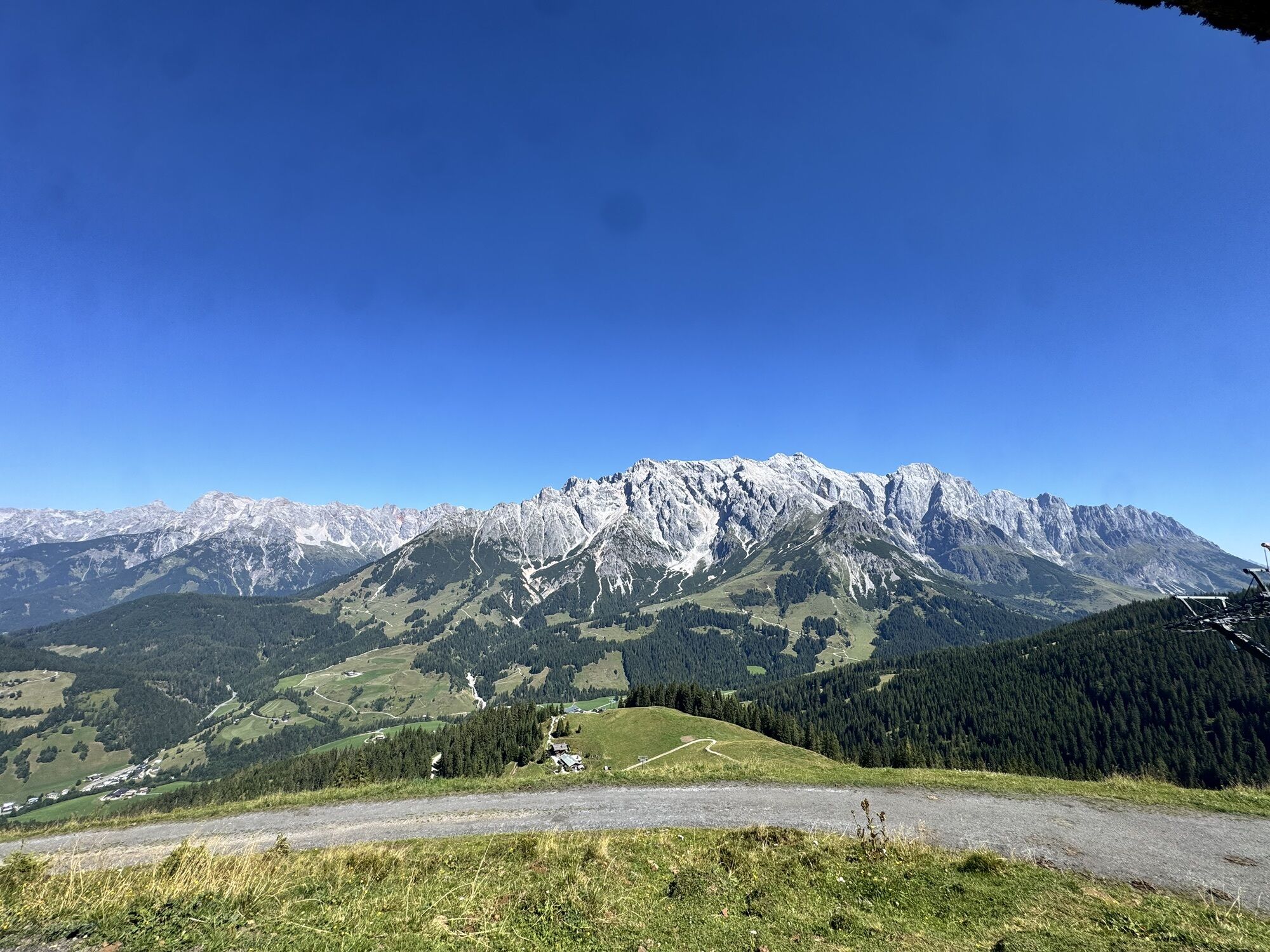
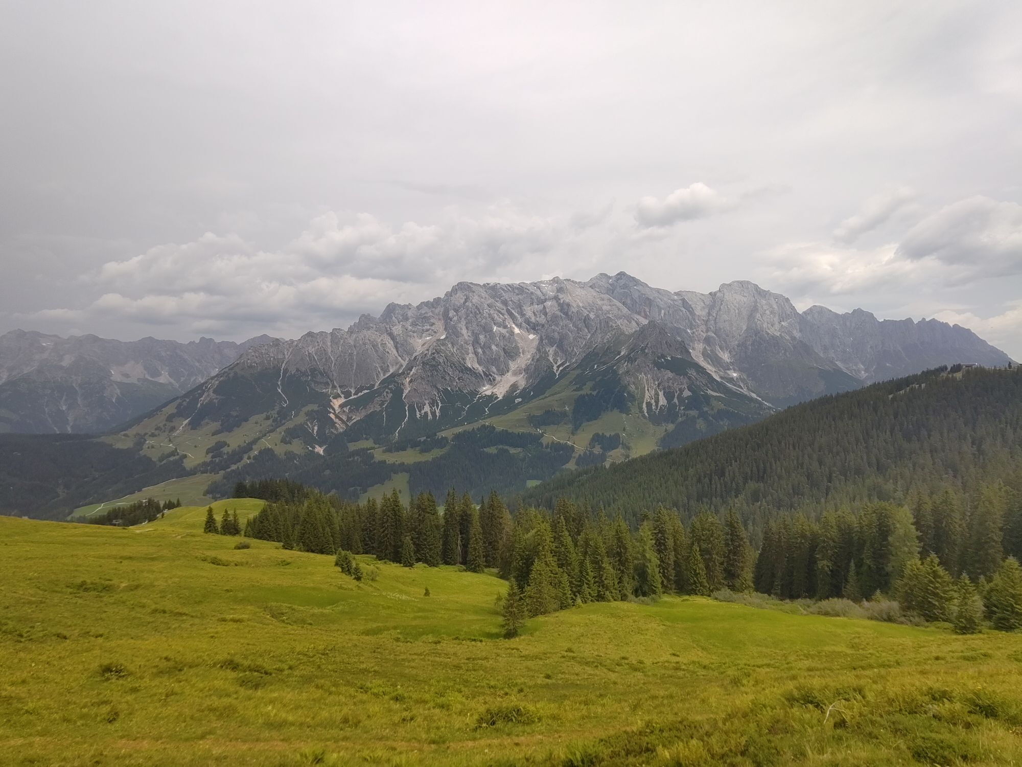
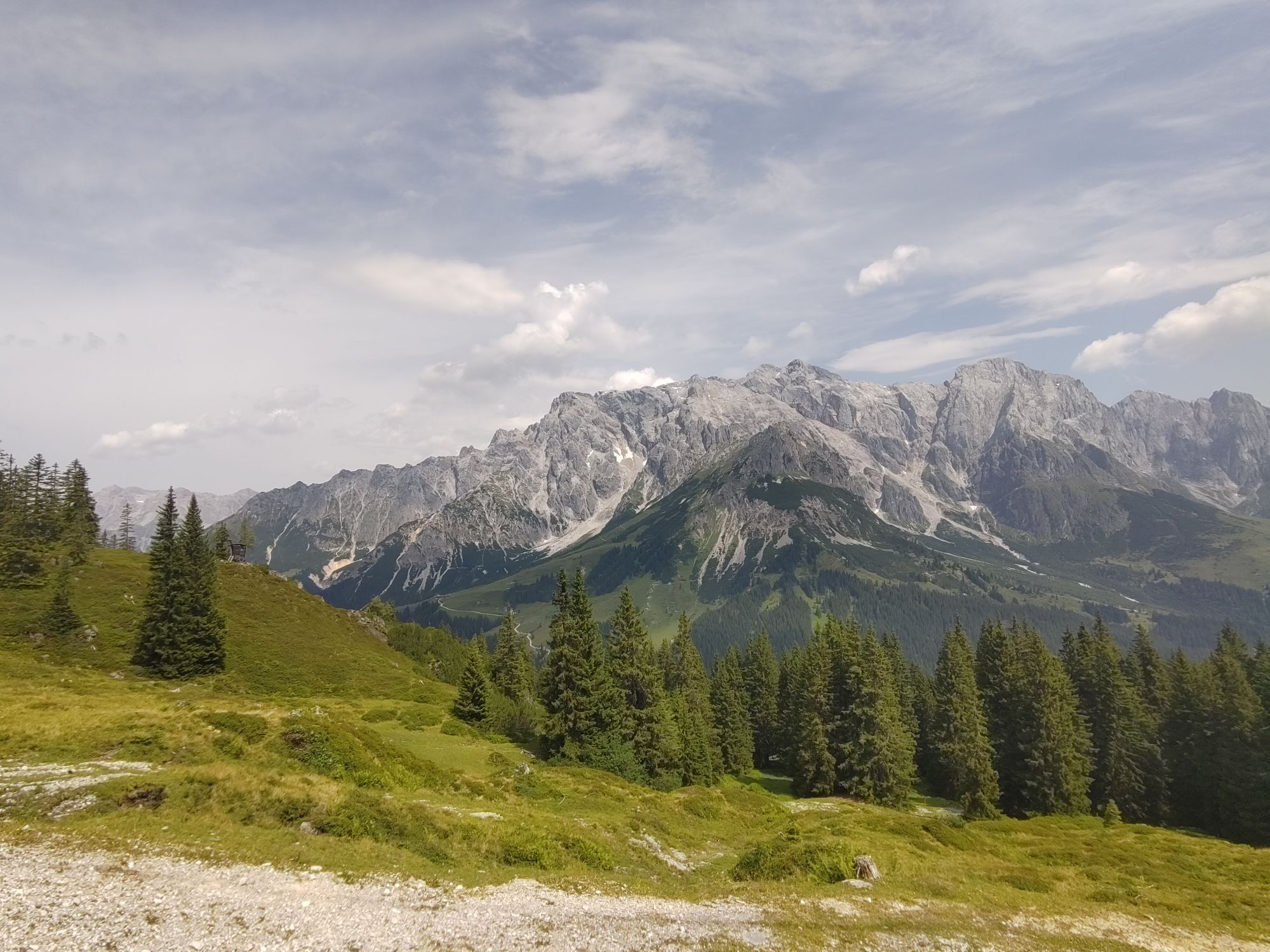
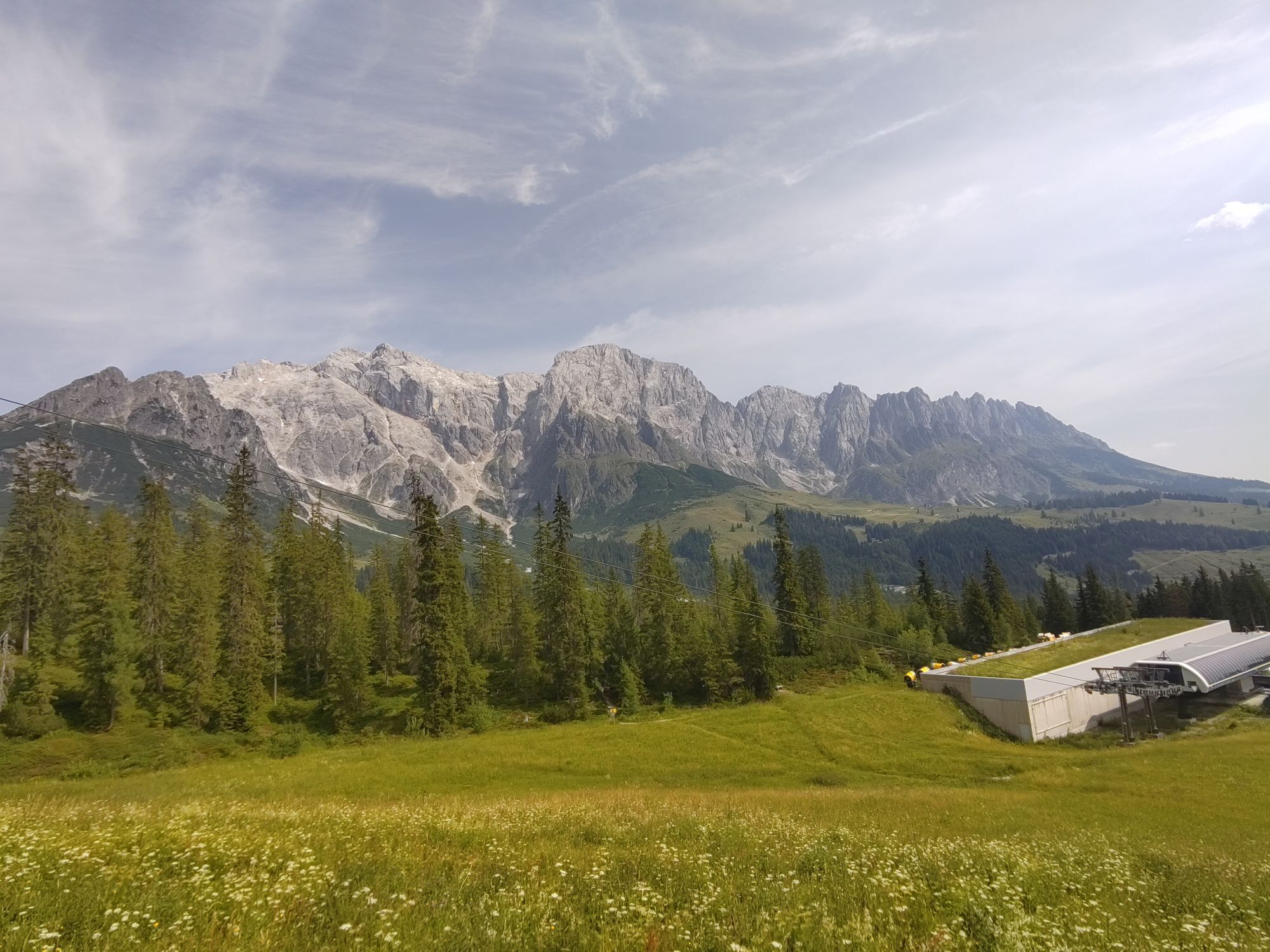
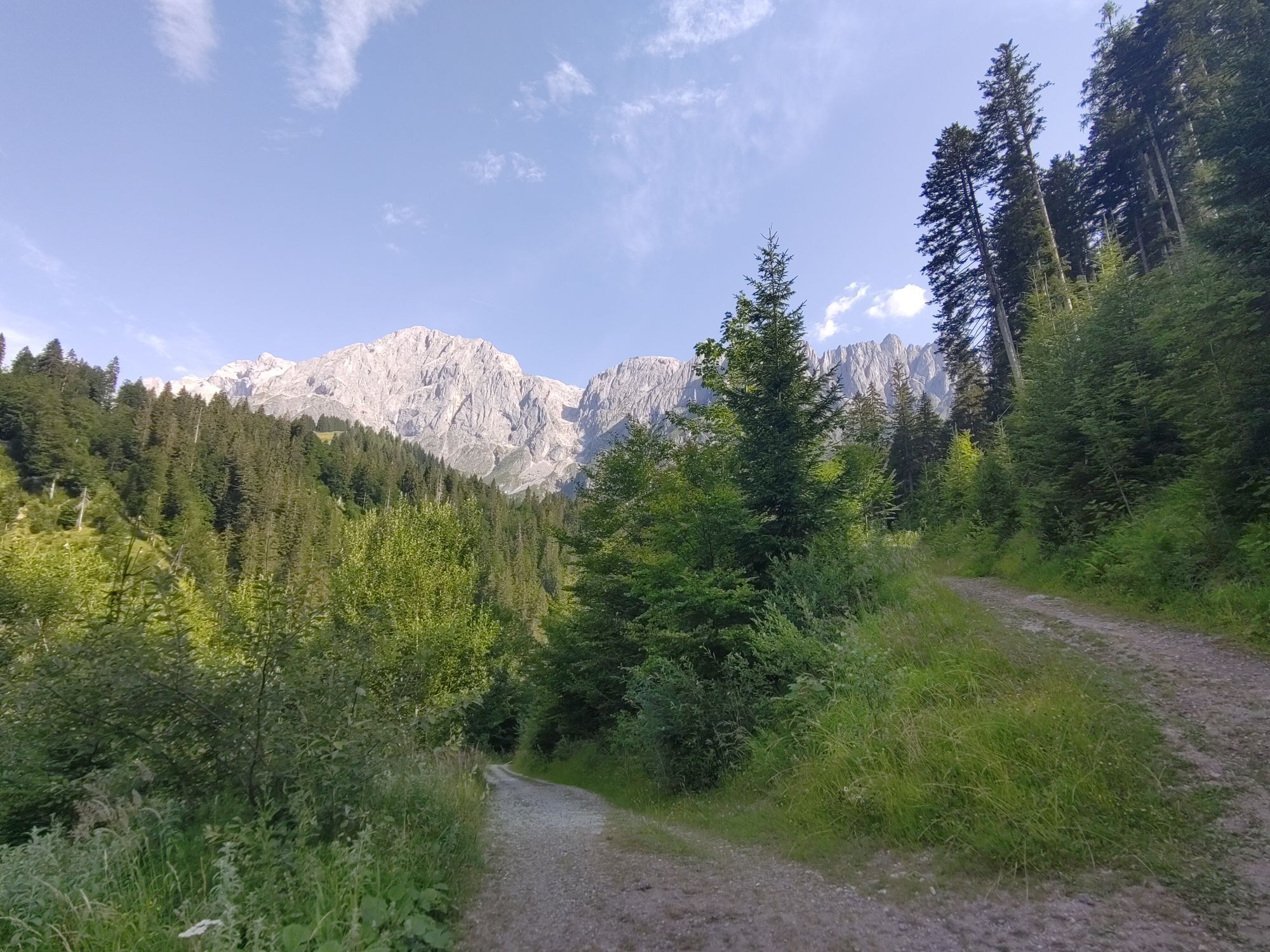
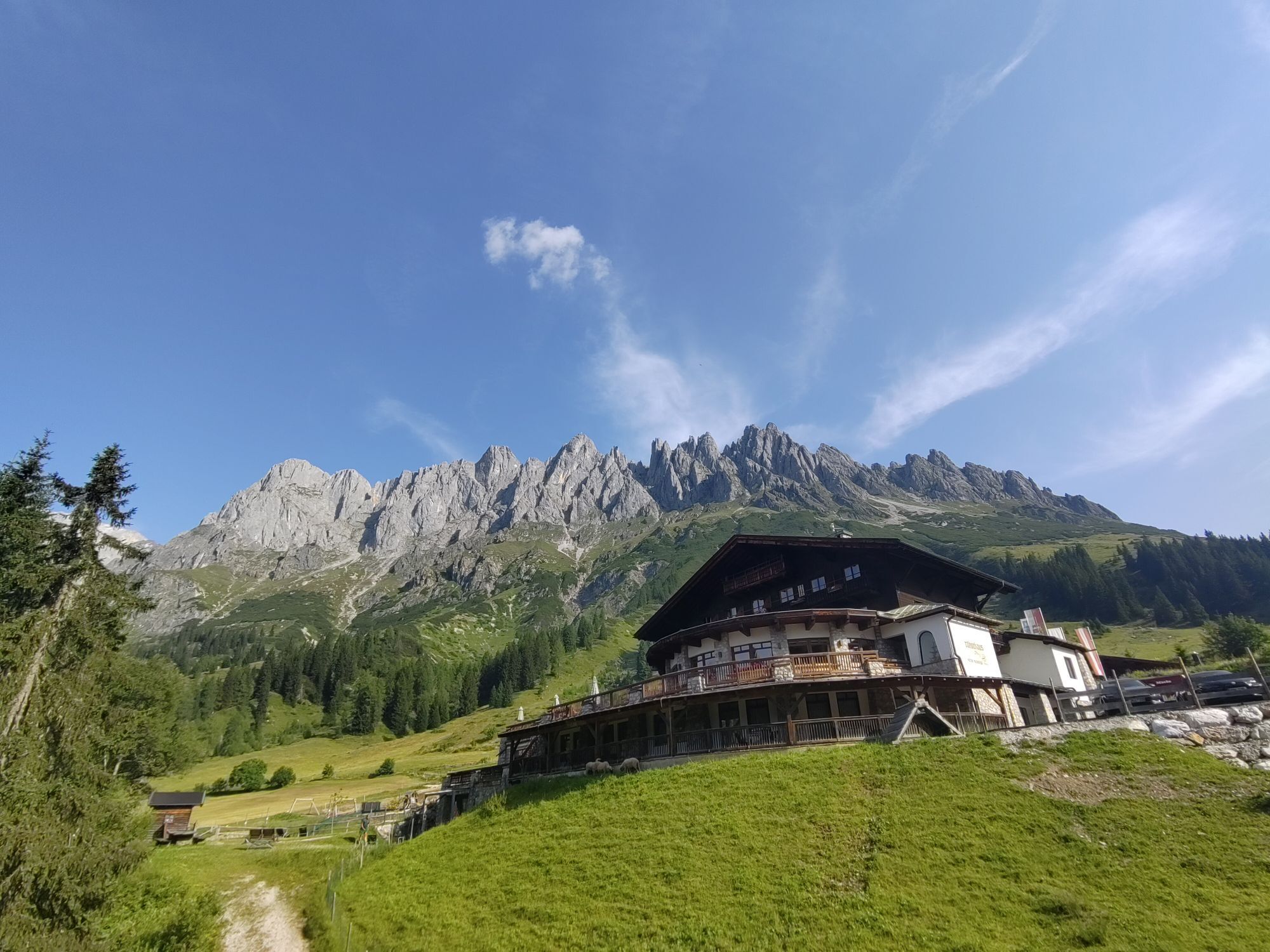
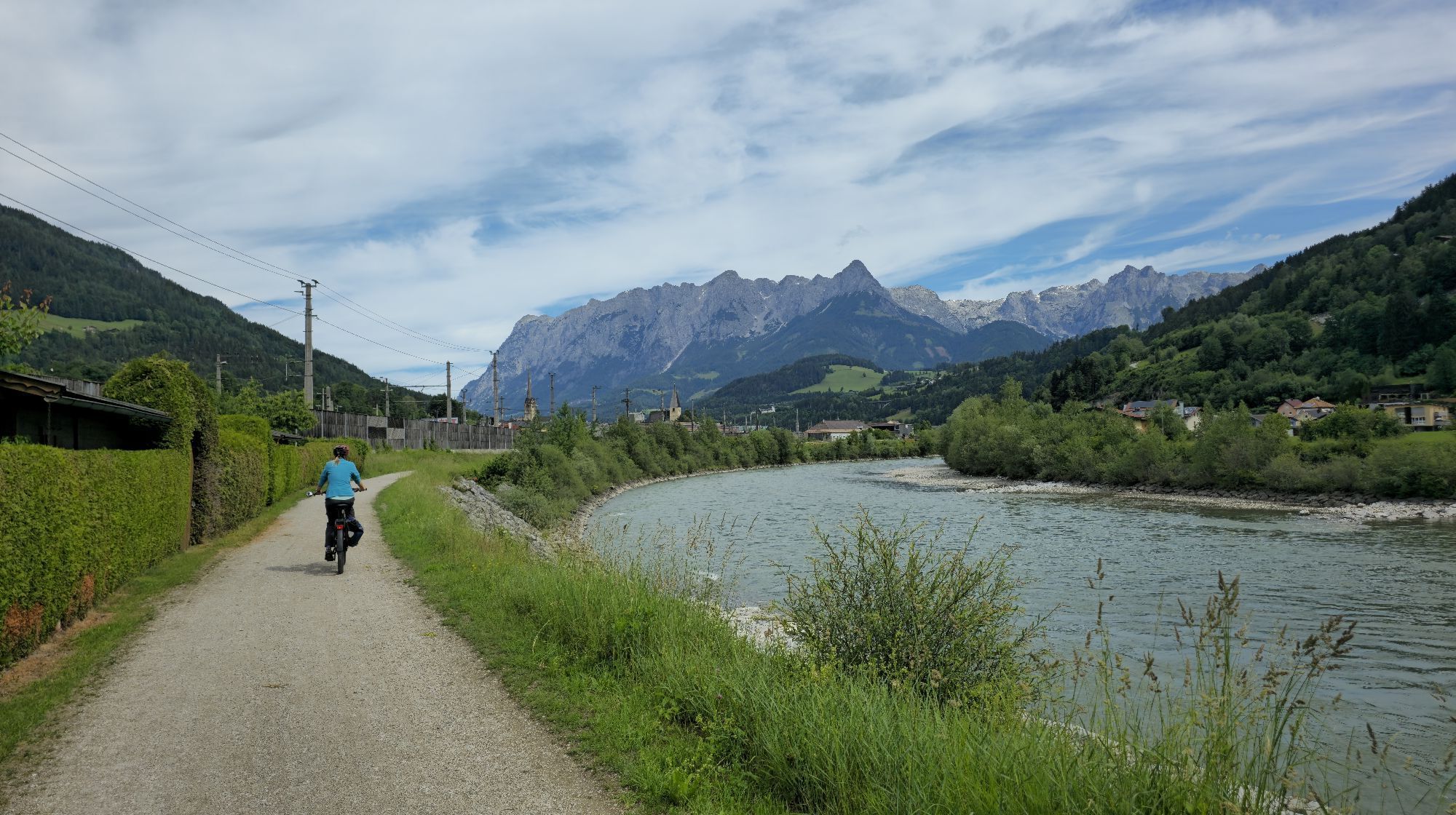
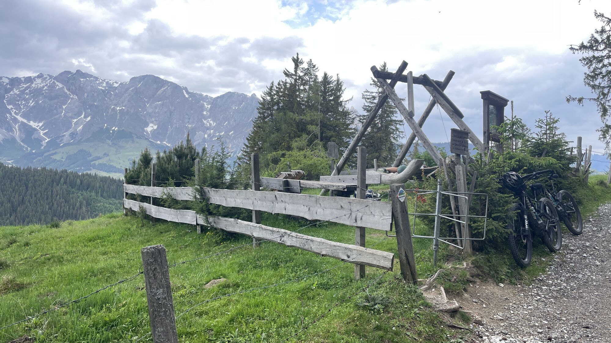
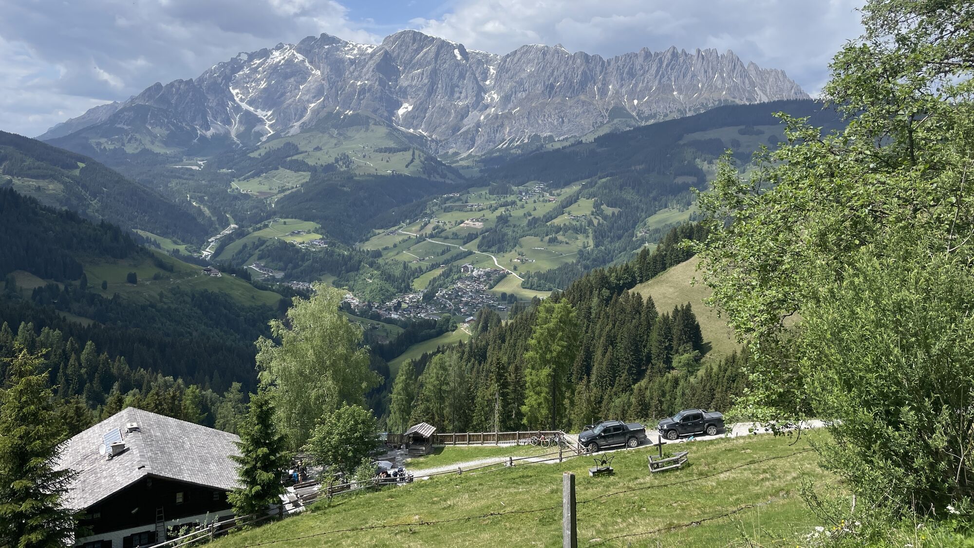
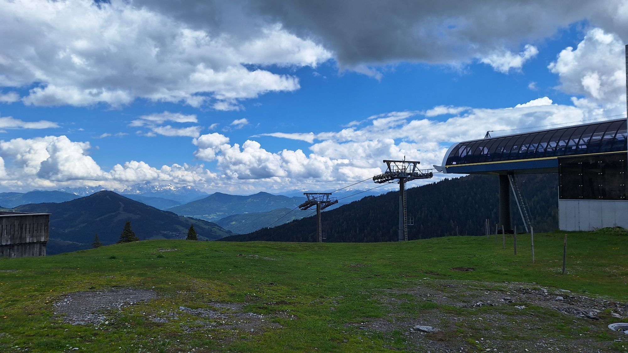
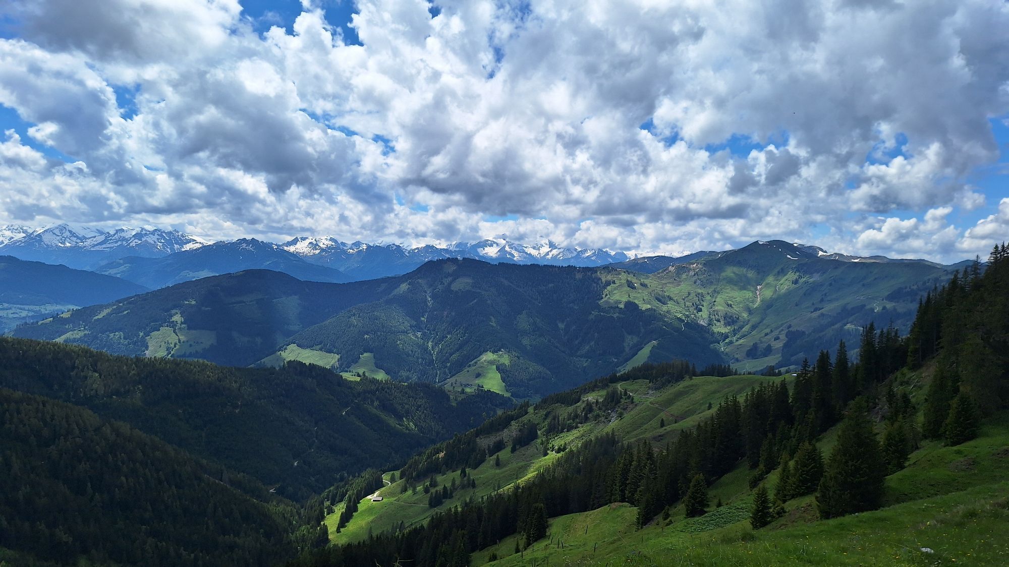
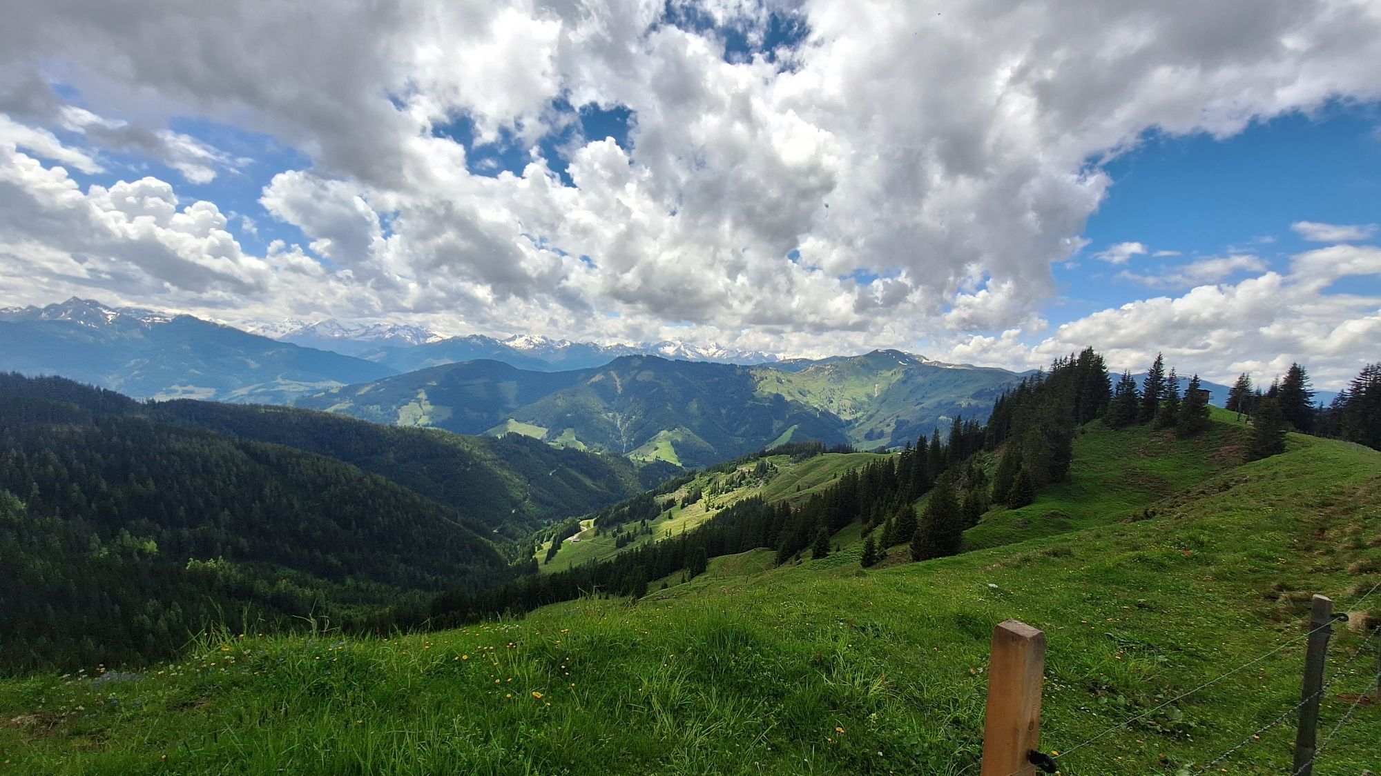
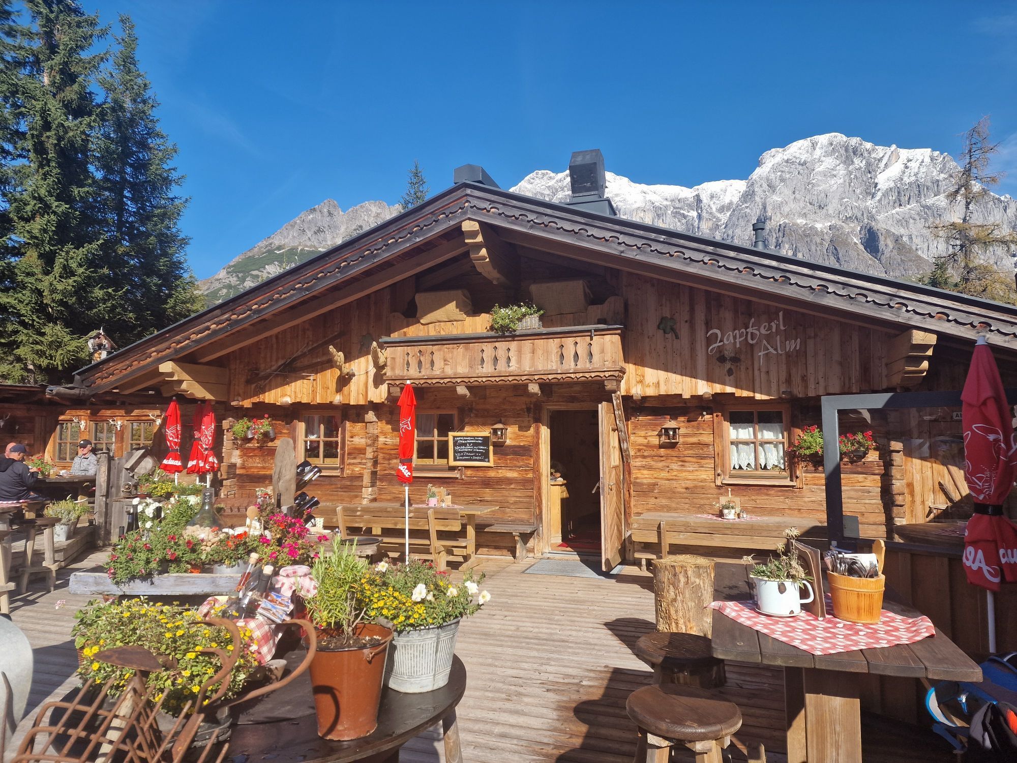
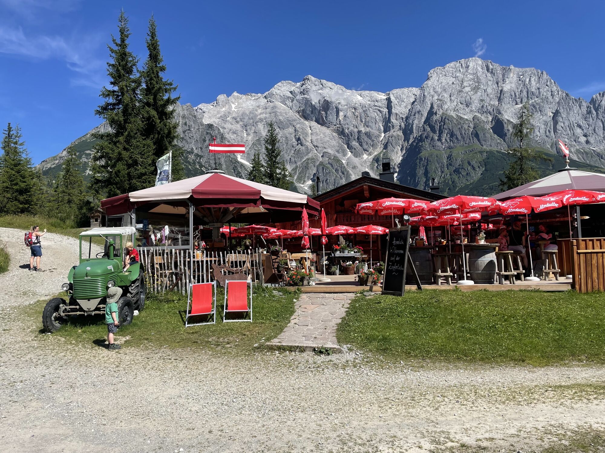
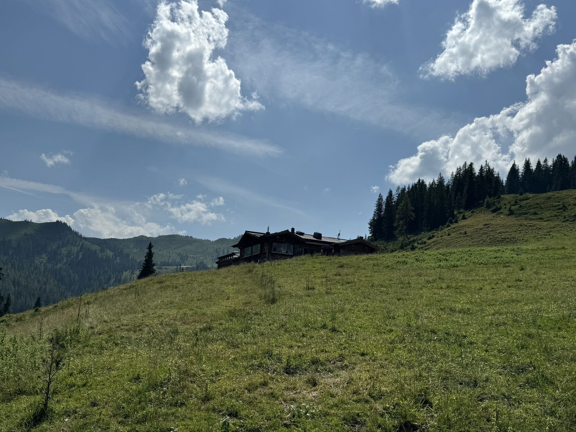
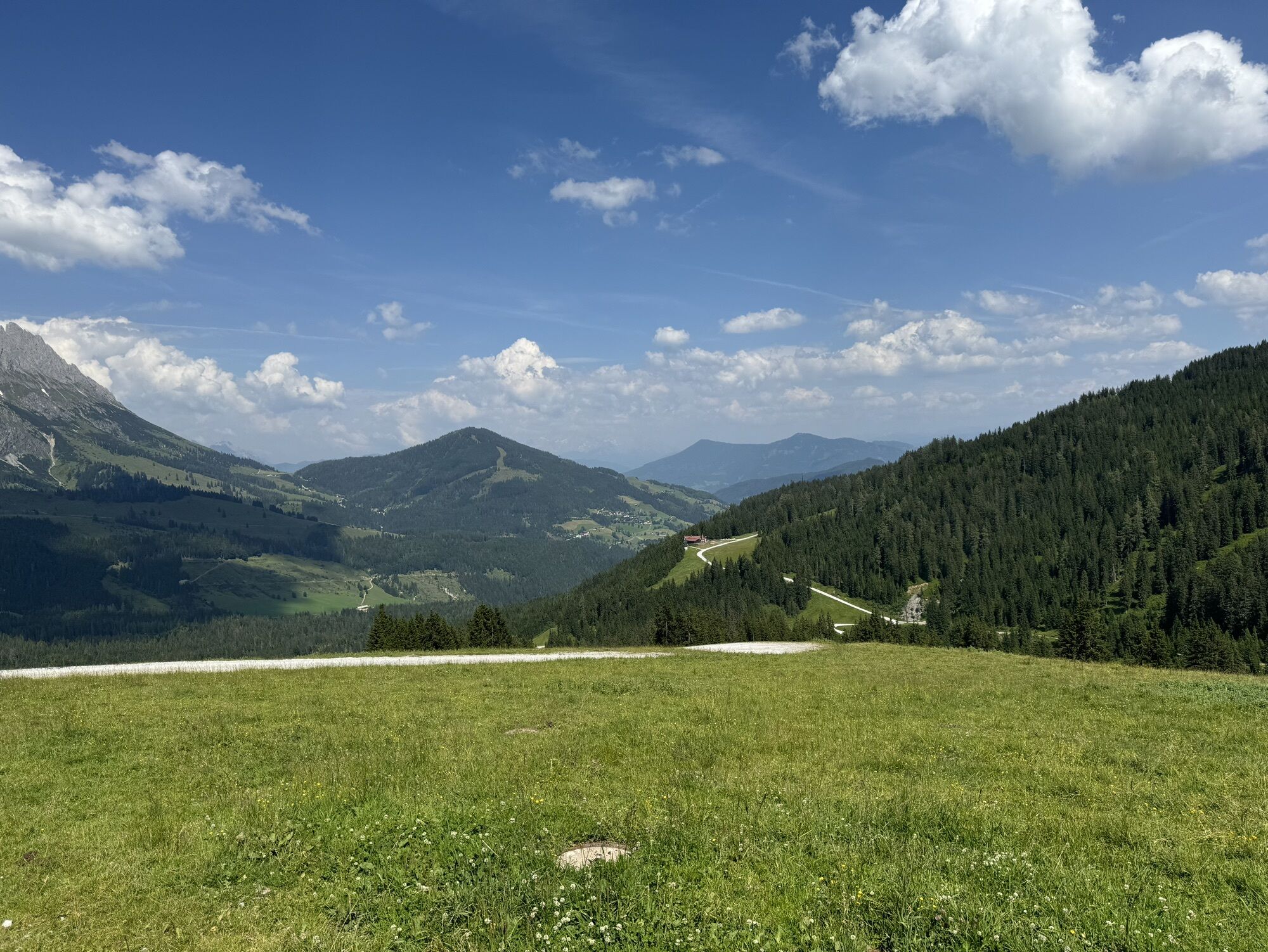
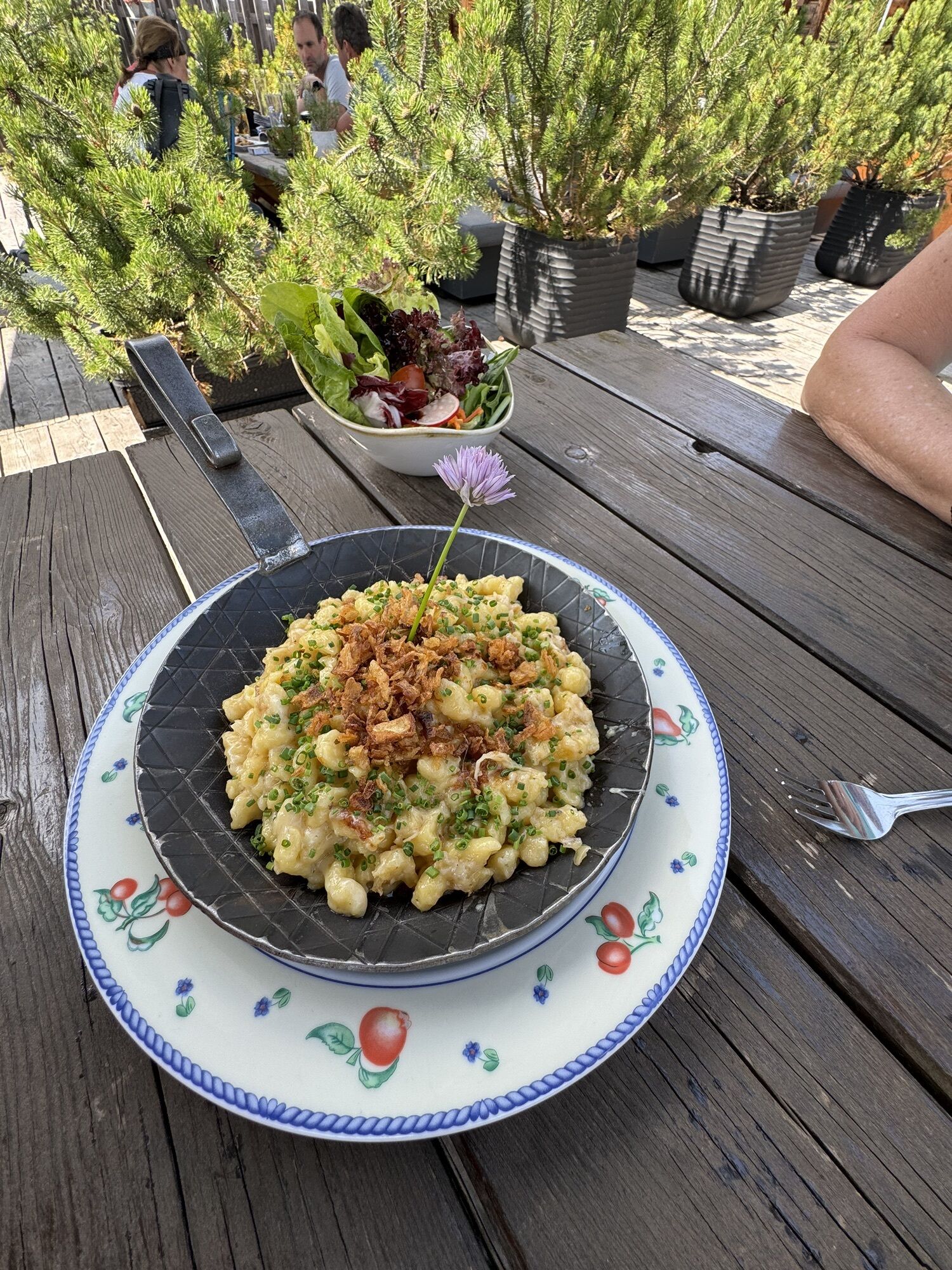
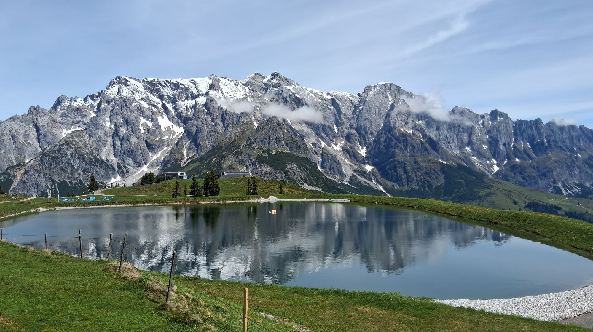
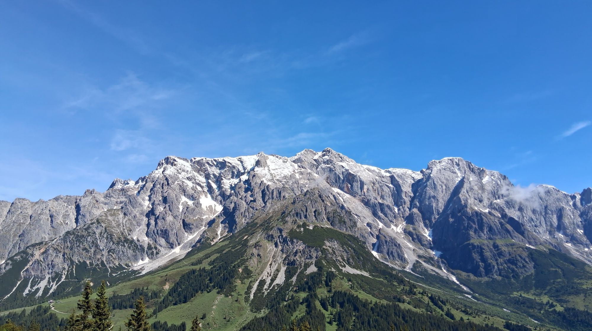
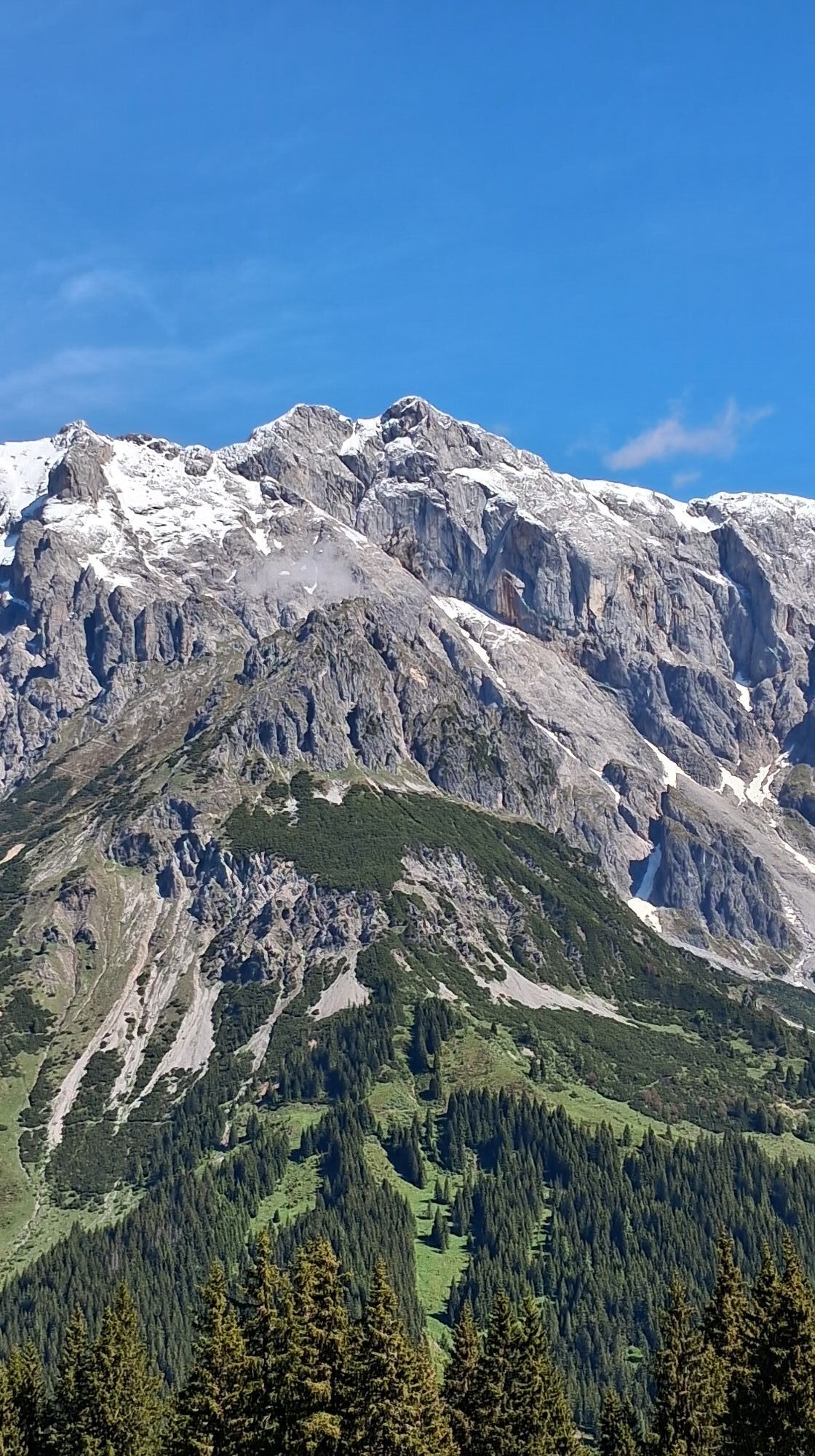
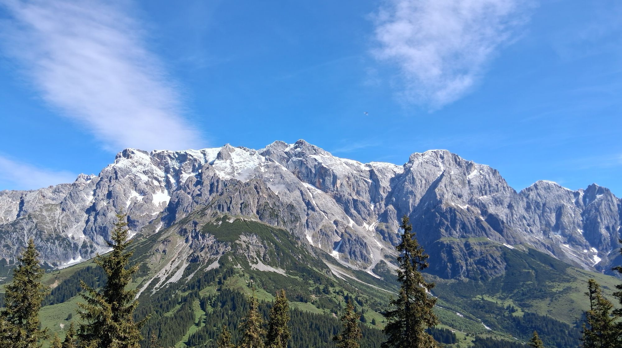
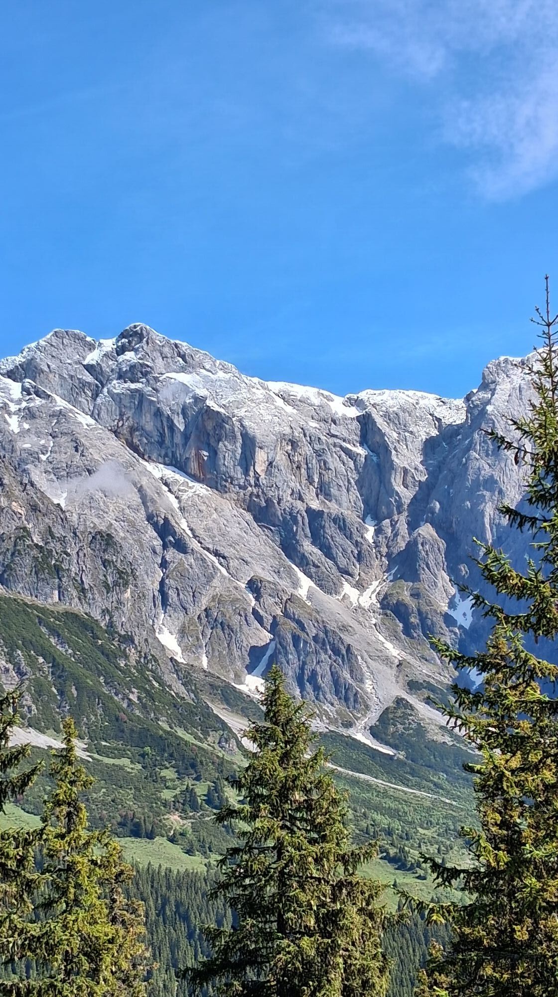
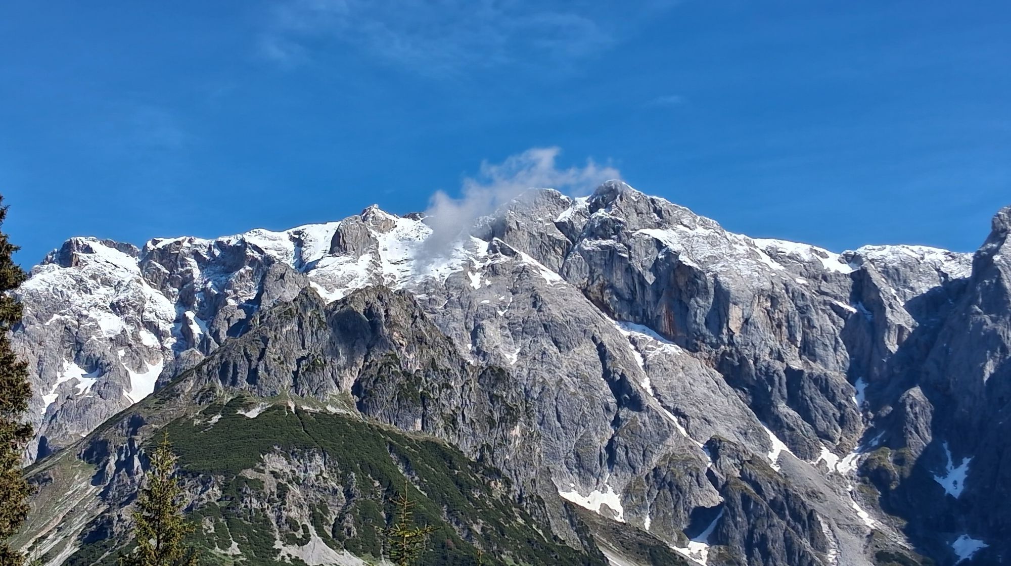
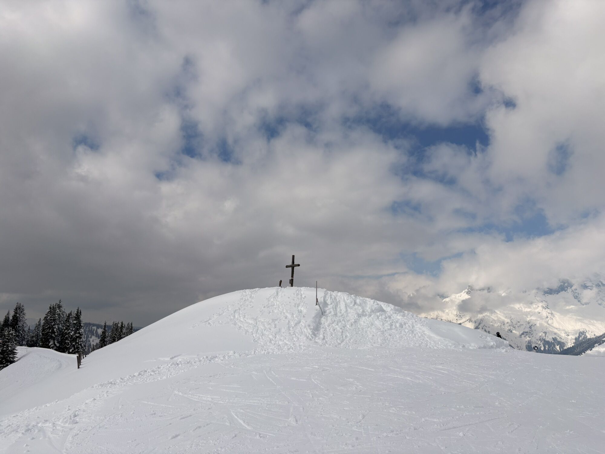
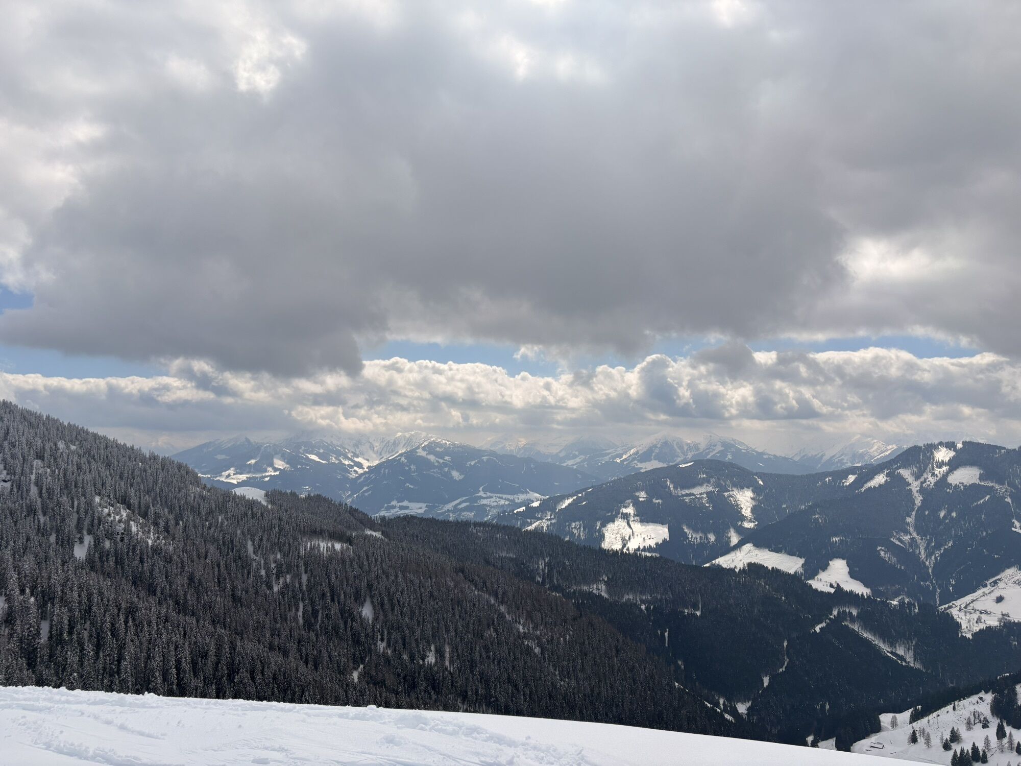
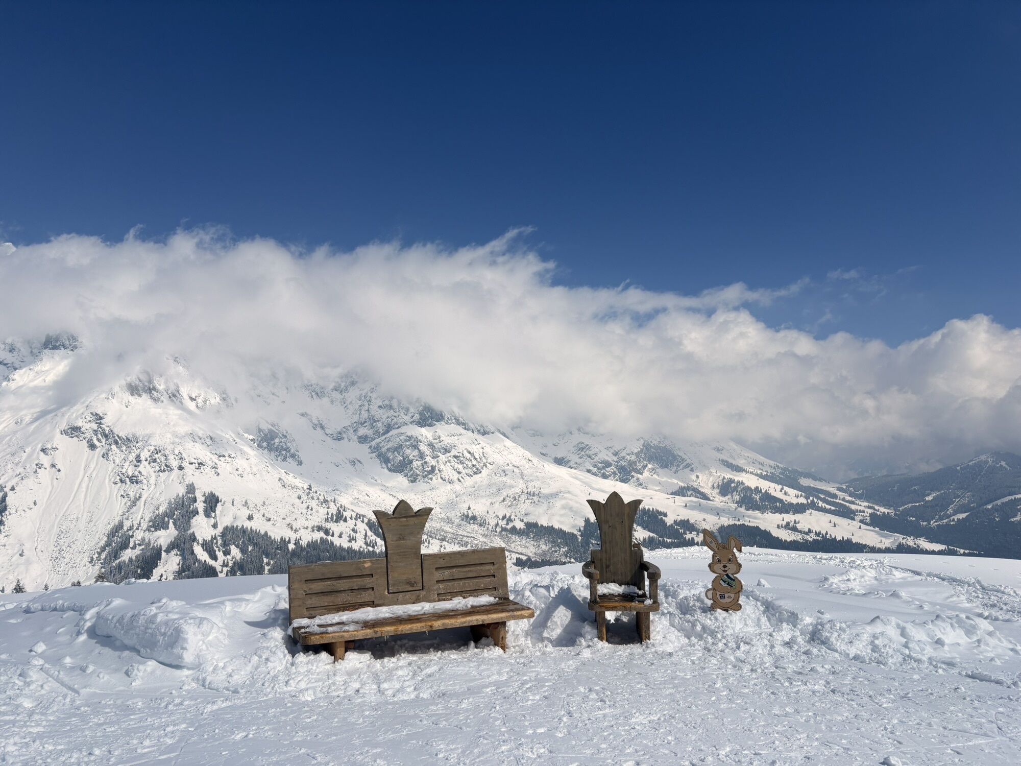
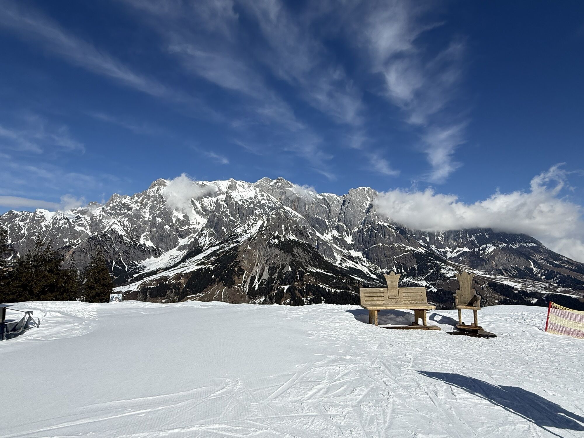
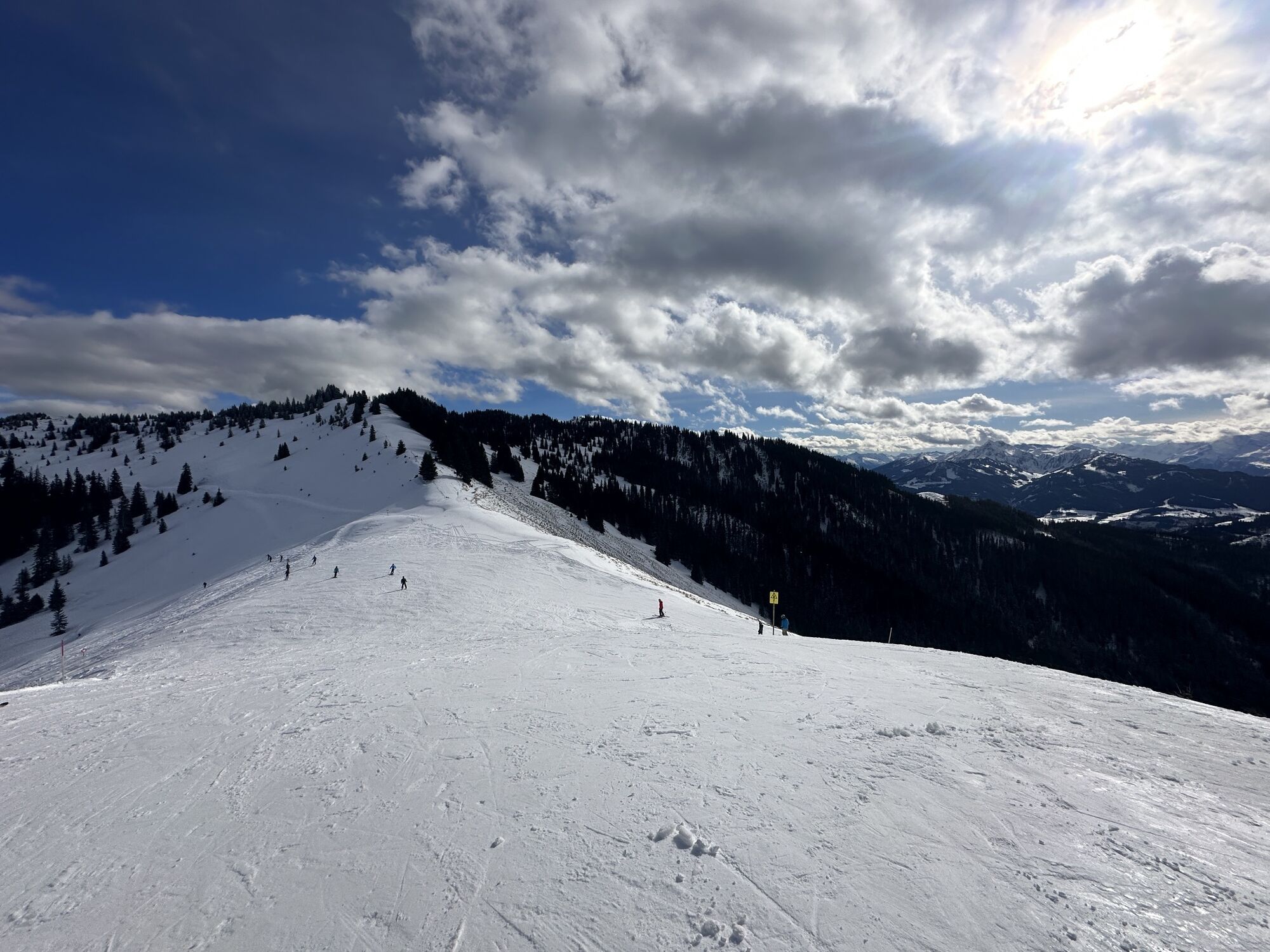
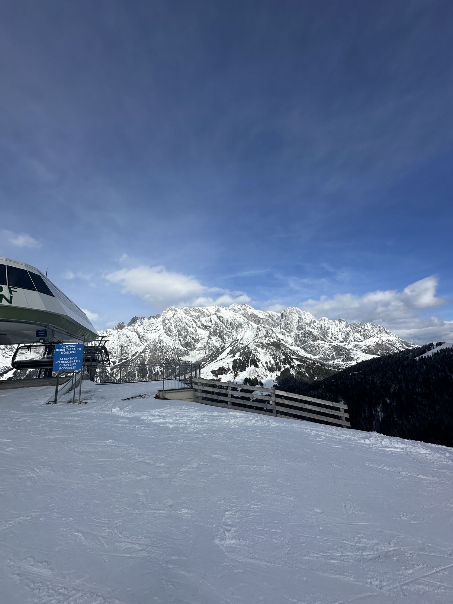
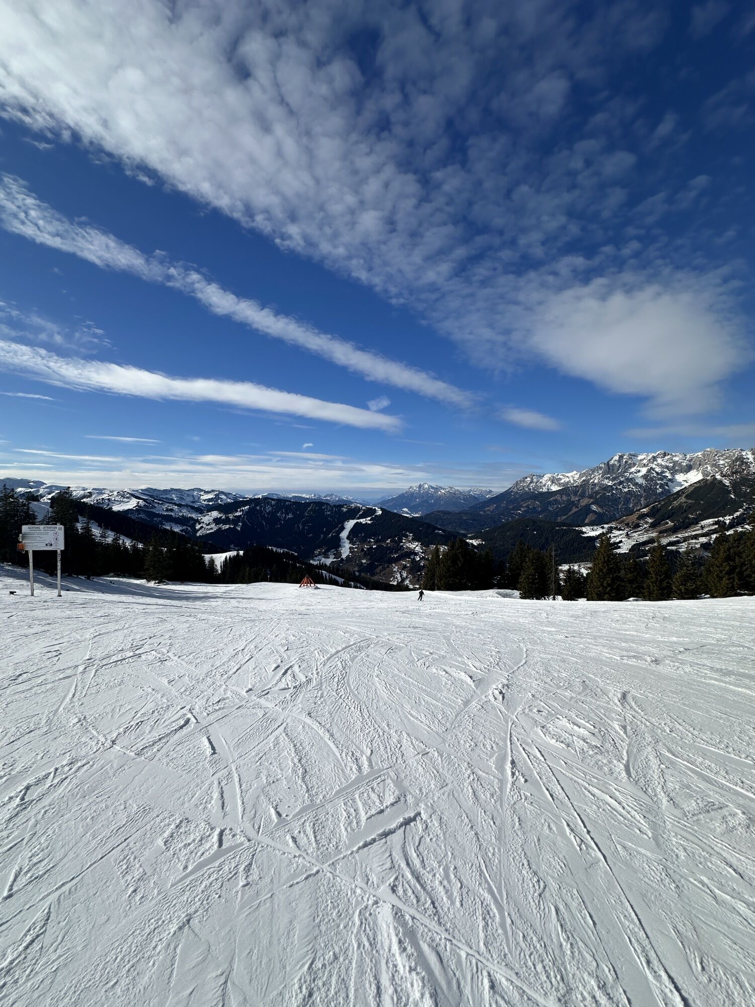
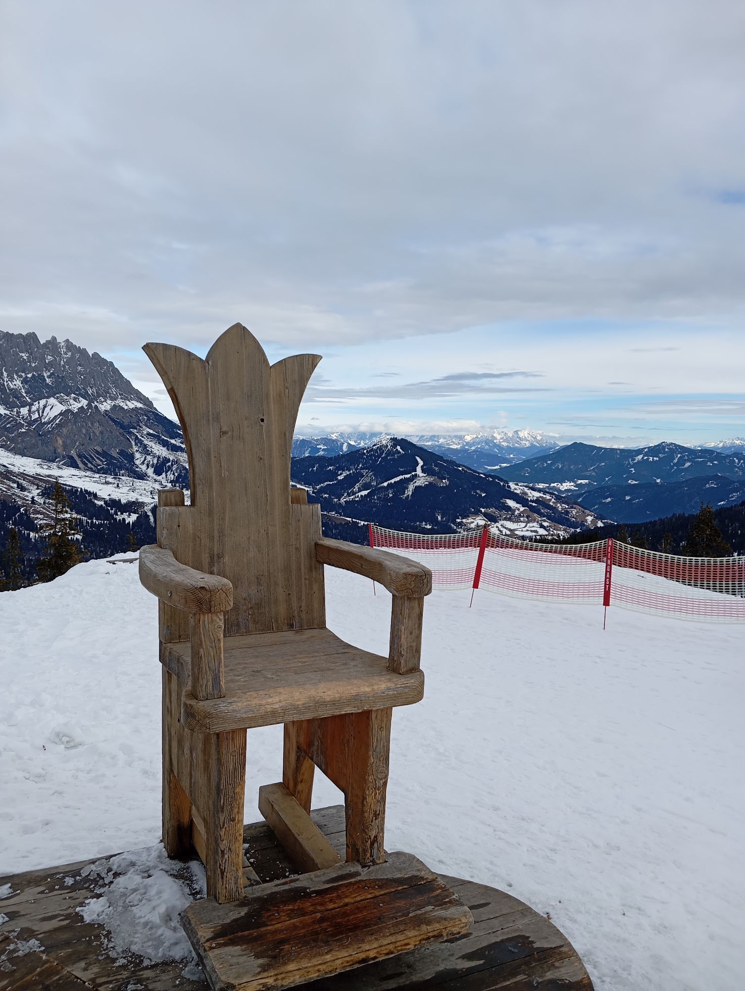
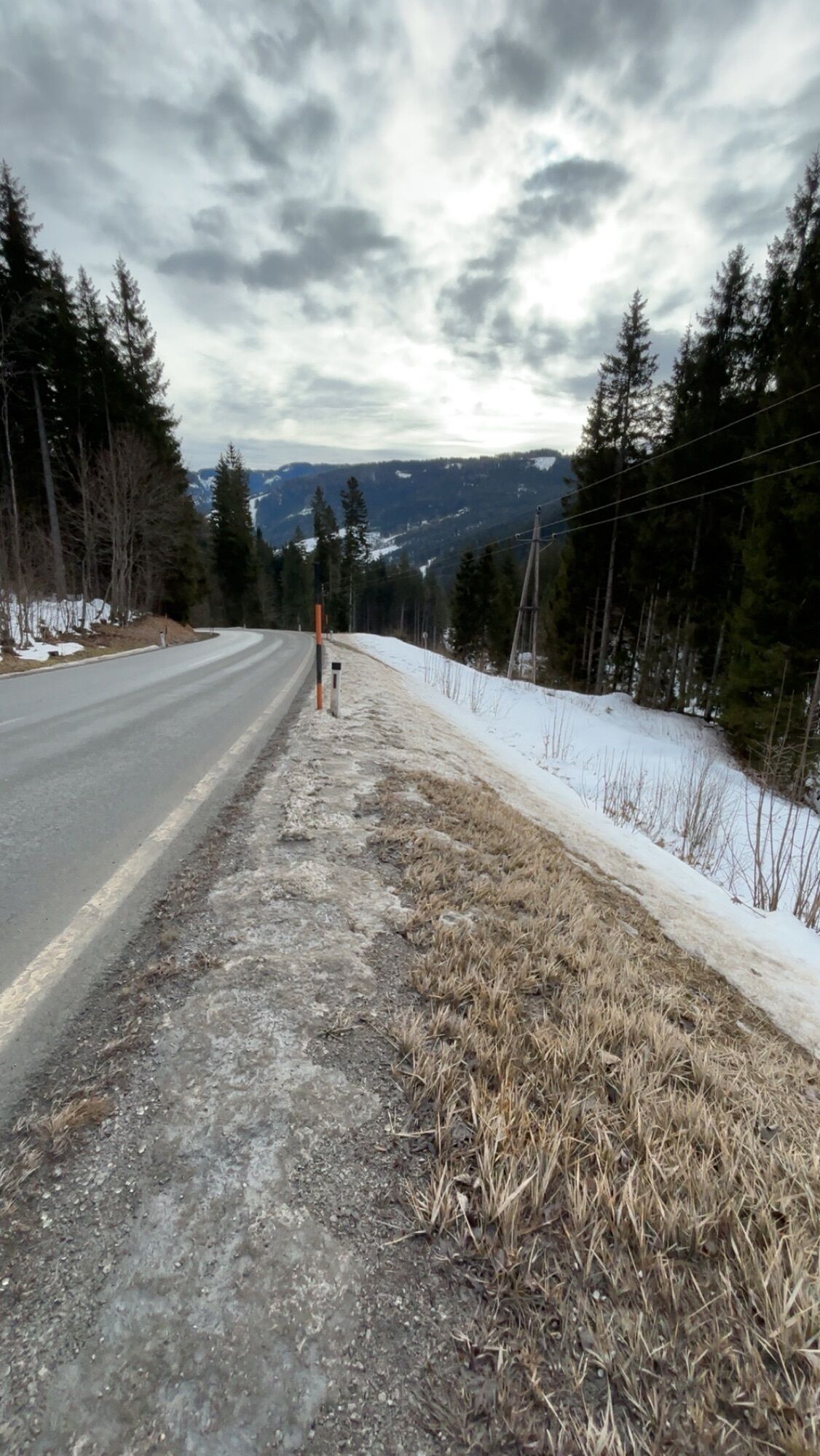
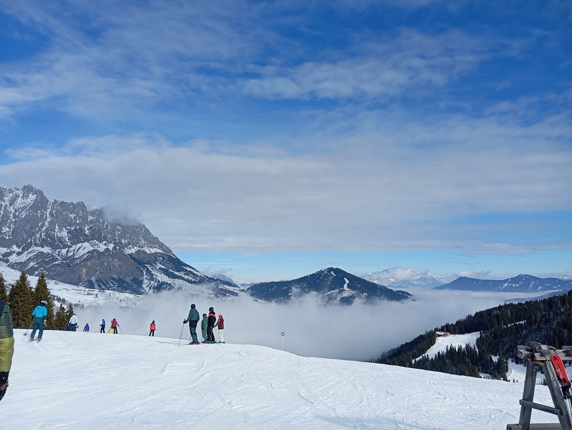
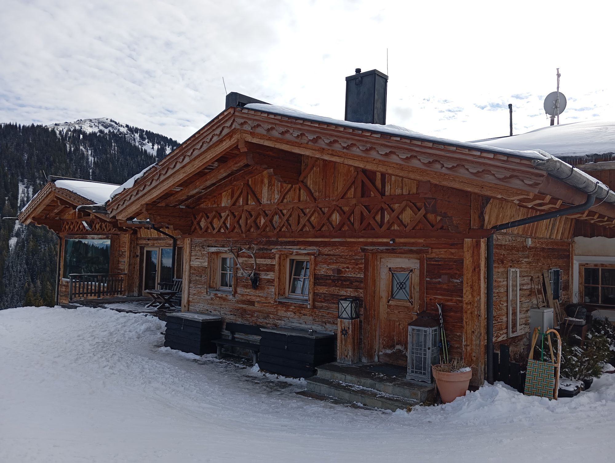
The mountain bike tour leads through the impressive landscape of the Hochkönig massif and offers a varied mix of forest roads, demanding climbs, and exciting trail sections. With a total length of 64.5...
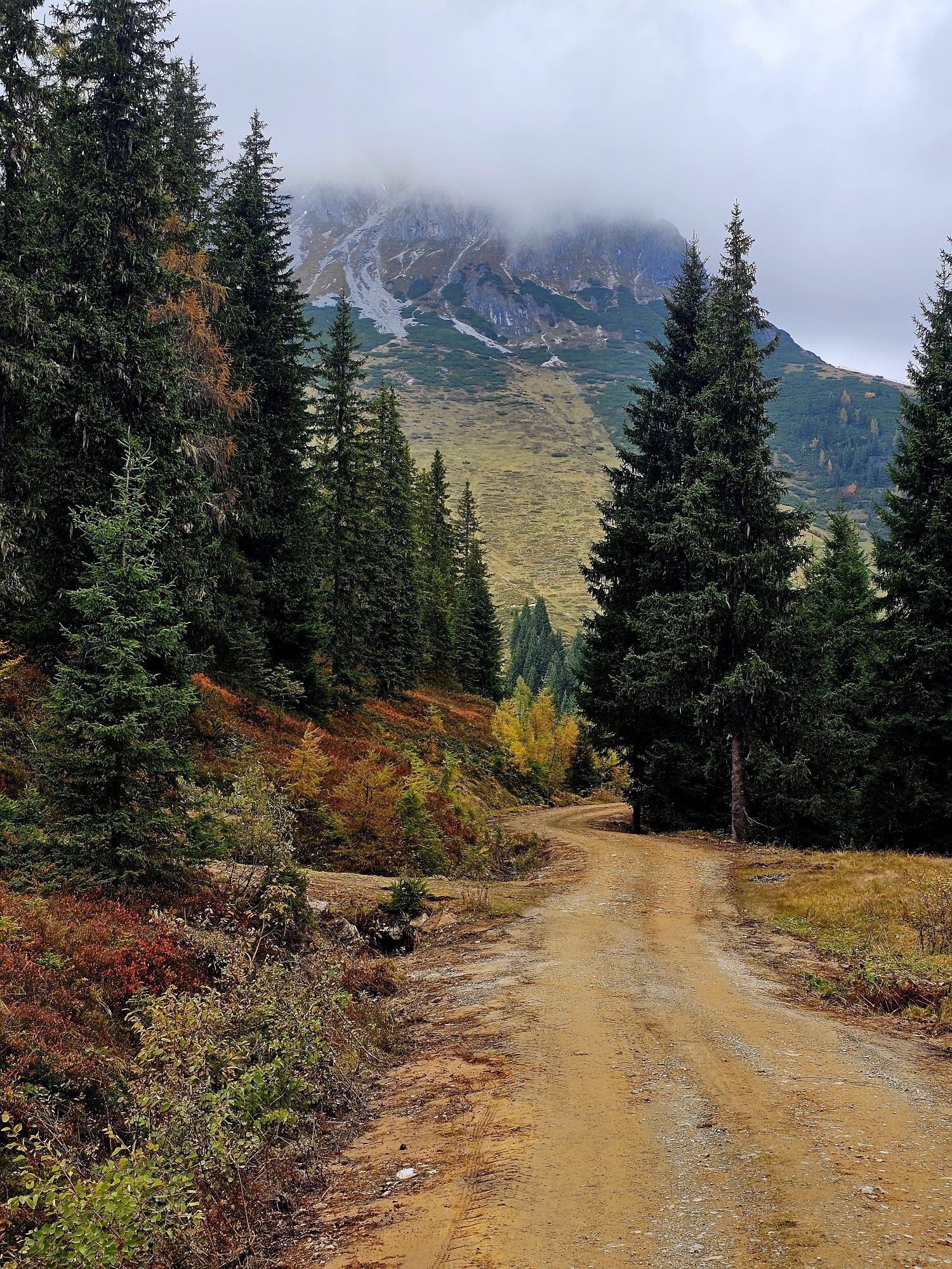
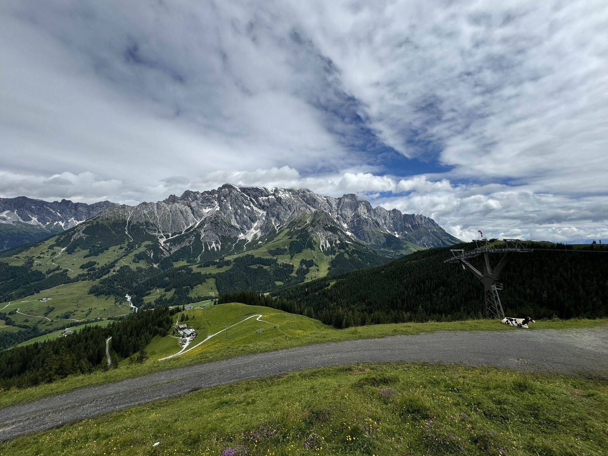
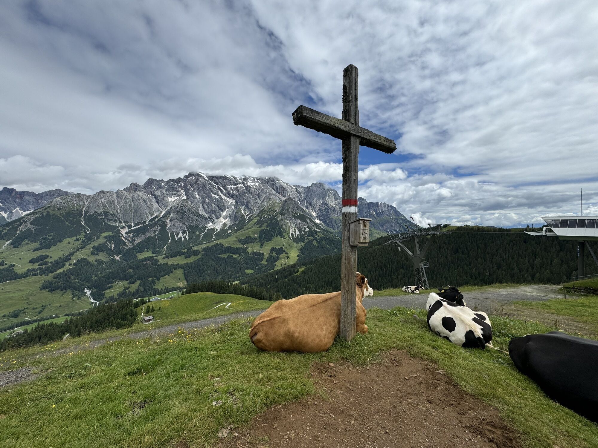
The mountain bike tour leads through the impressive landscape of the Hochkönig massif and offers a varied mix of forest roads, demanding climbs, and exciting trail sections. With a total length of 64.5 km and numerous elevation meters, this route is a challenging tour for experienced mountain bikers with good fitness and secure riding skills. Highlights of the route are panoramic sections, technically demanding single trails, and some challenging descents that require a high level of riding skill.

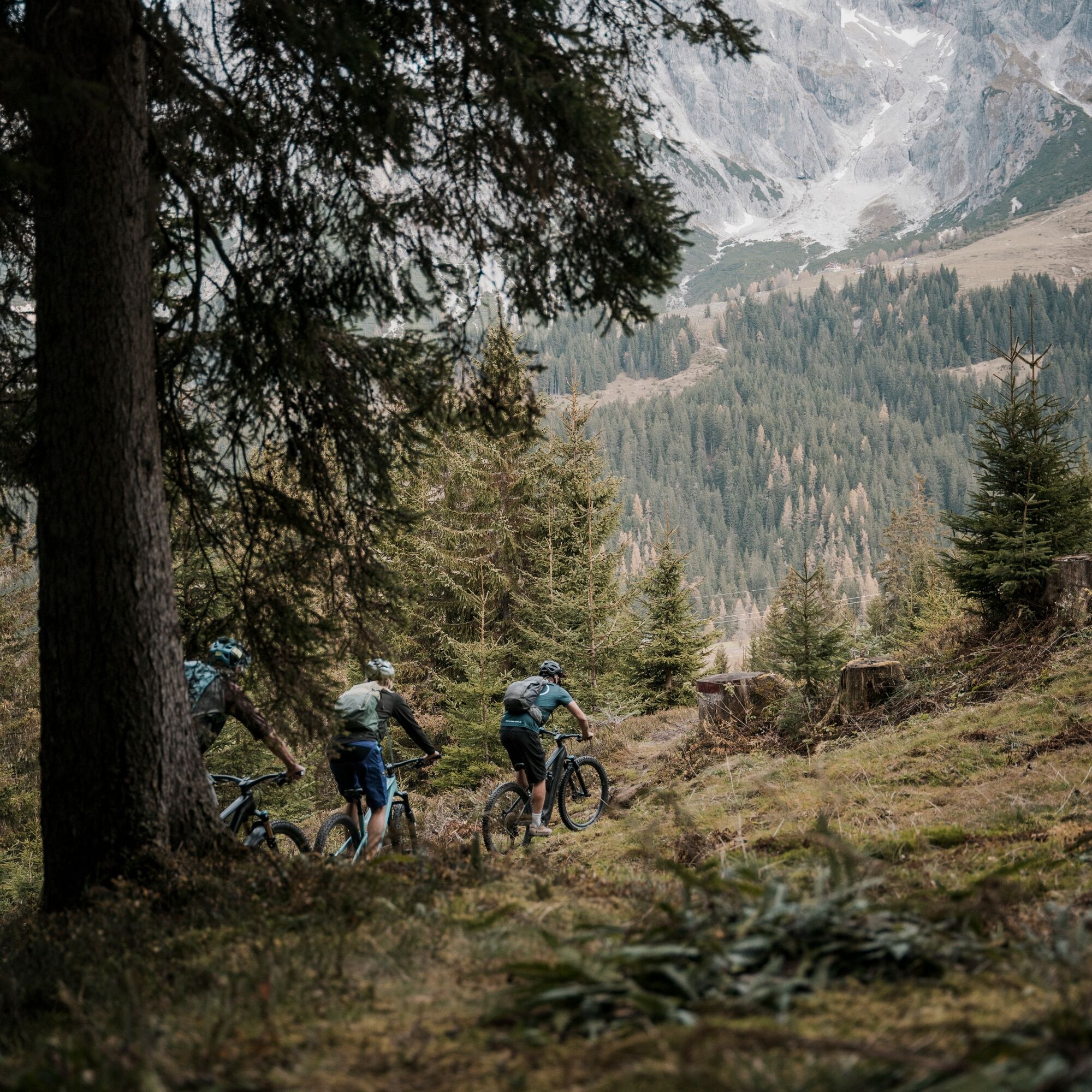
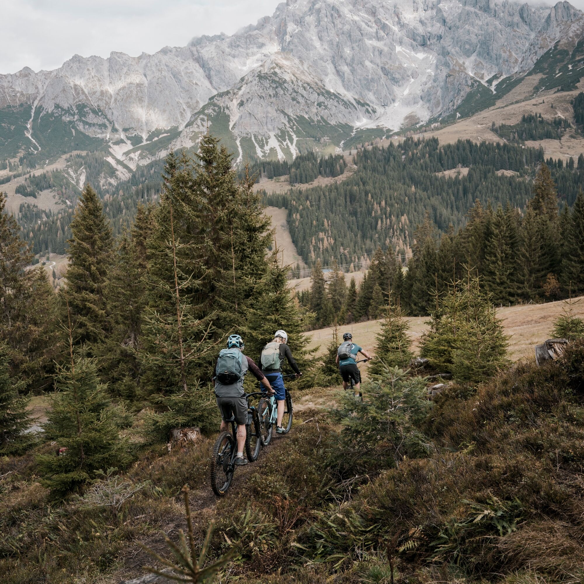
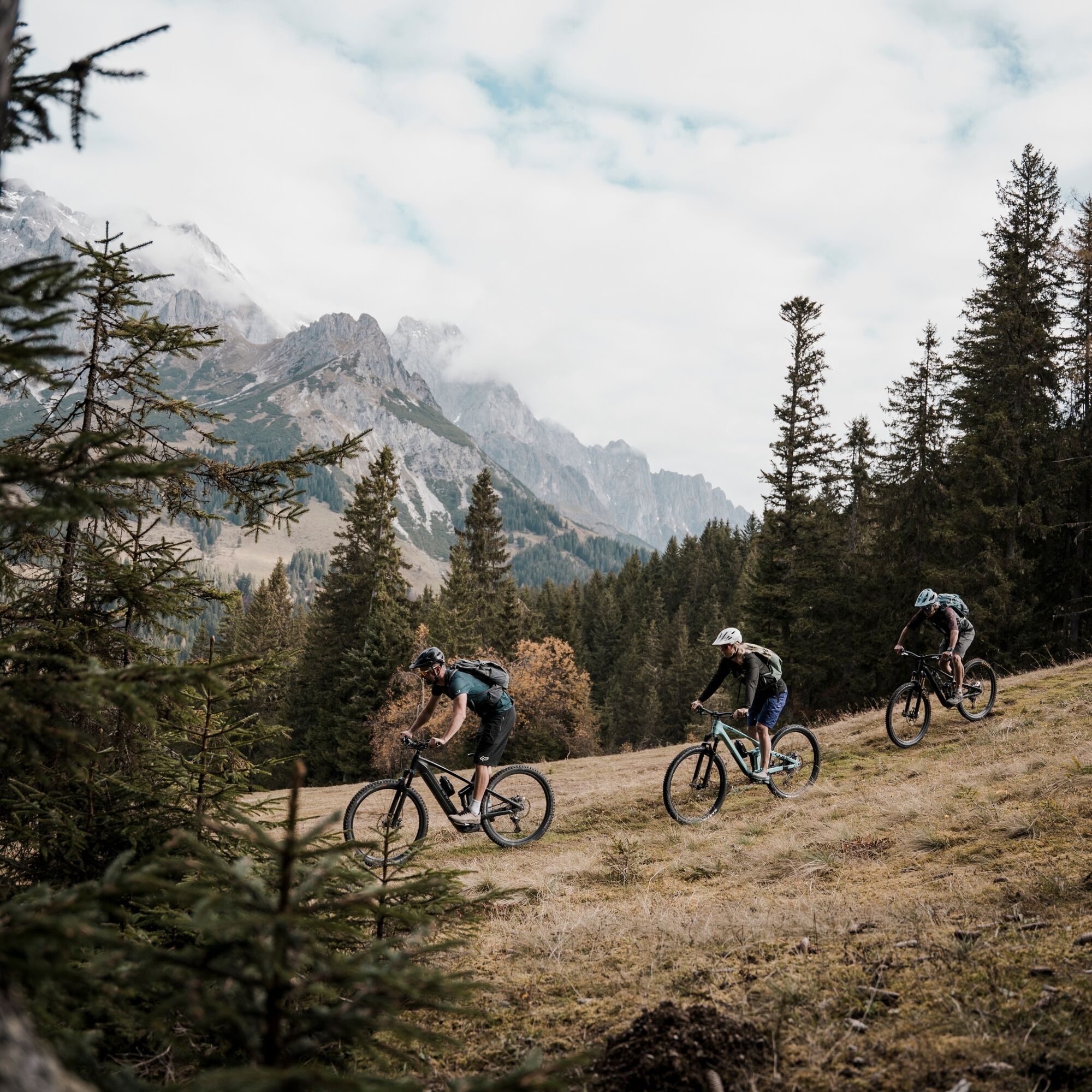
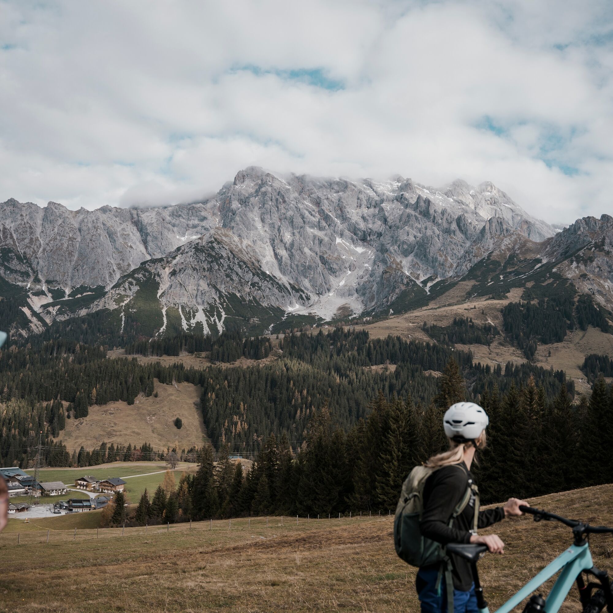

Today's stage starts in the center of Mühlbach. You begin with the Proneben Loop – a varied section that takes you past the idyllic Proneben Alm.
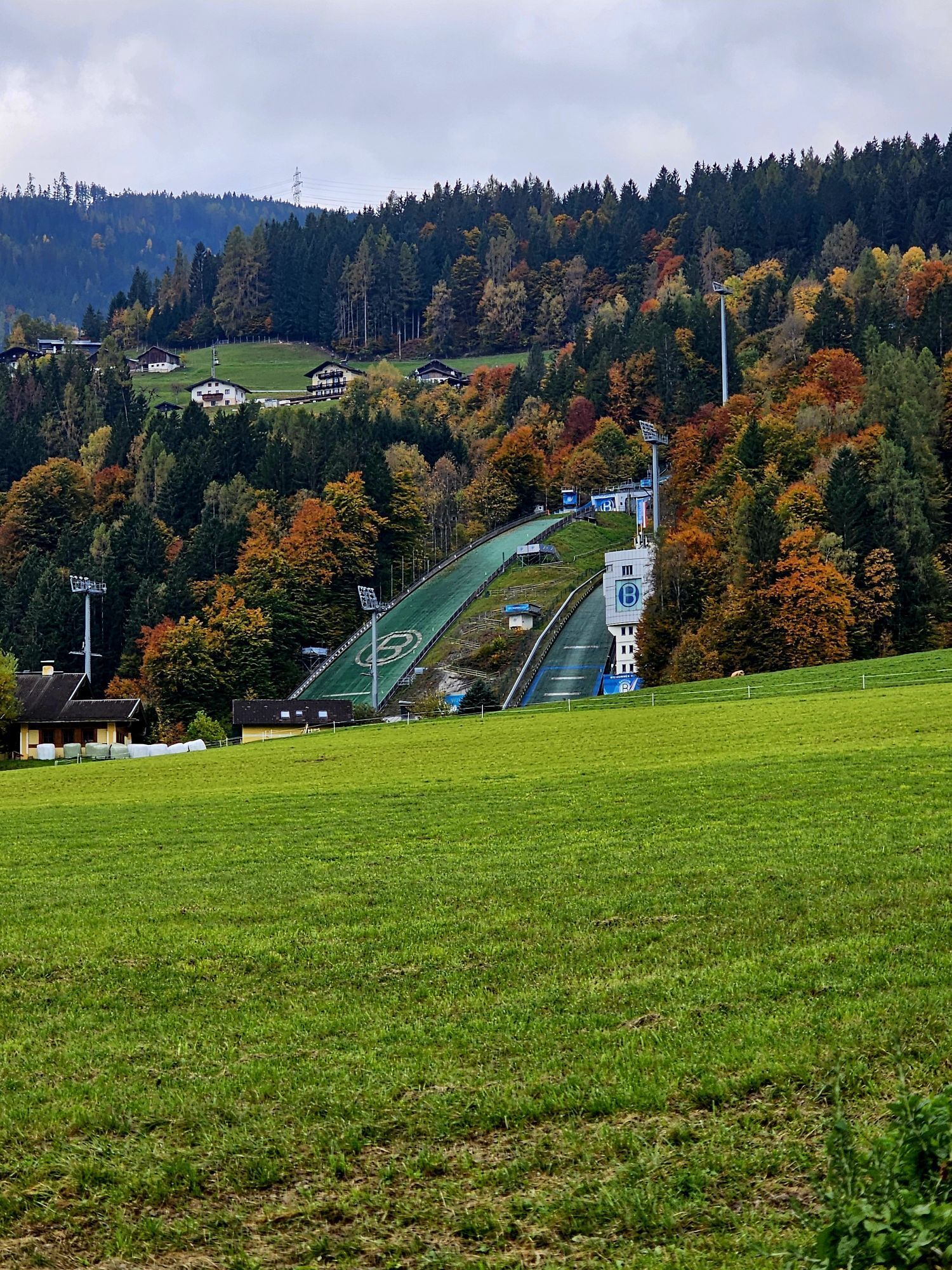
Next is the Moskott–Arthurhaus Loop. It takes you down from the Kohlmaishöhe to Bischofshofen, passing the famous ski jumping hills.
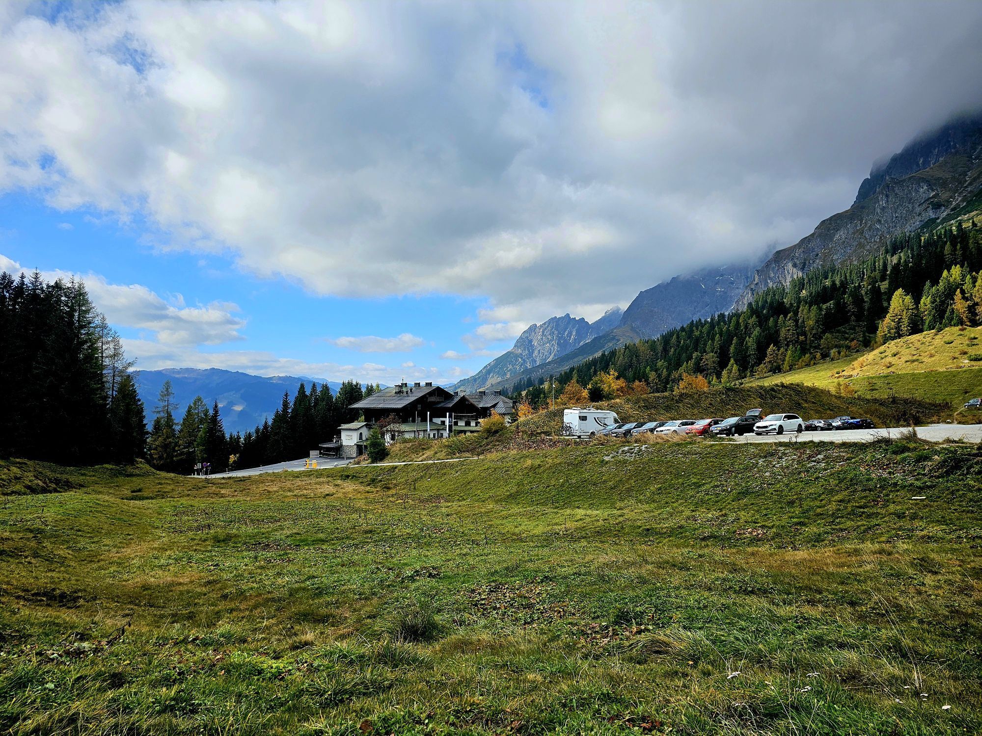
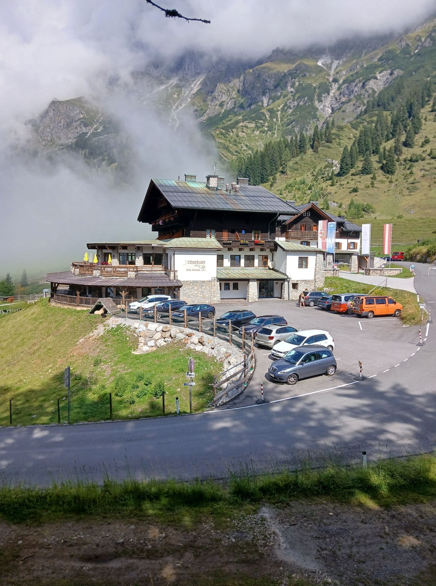
Then it's time to gather strength – the climb over the Hochkeil to the Arthurhaus follows. At the top waits a checkpoint and a spectacular panoramic view.
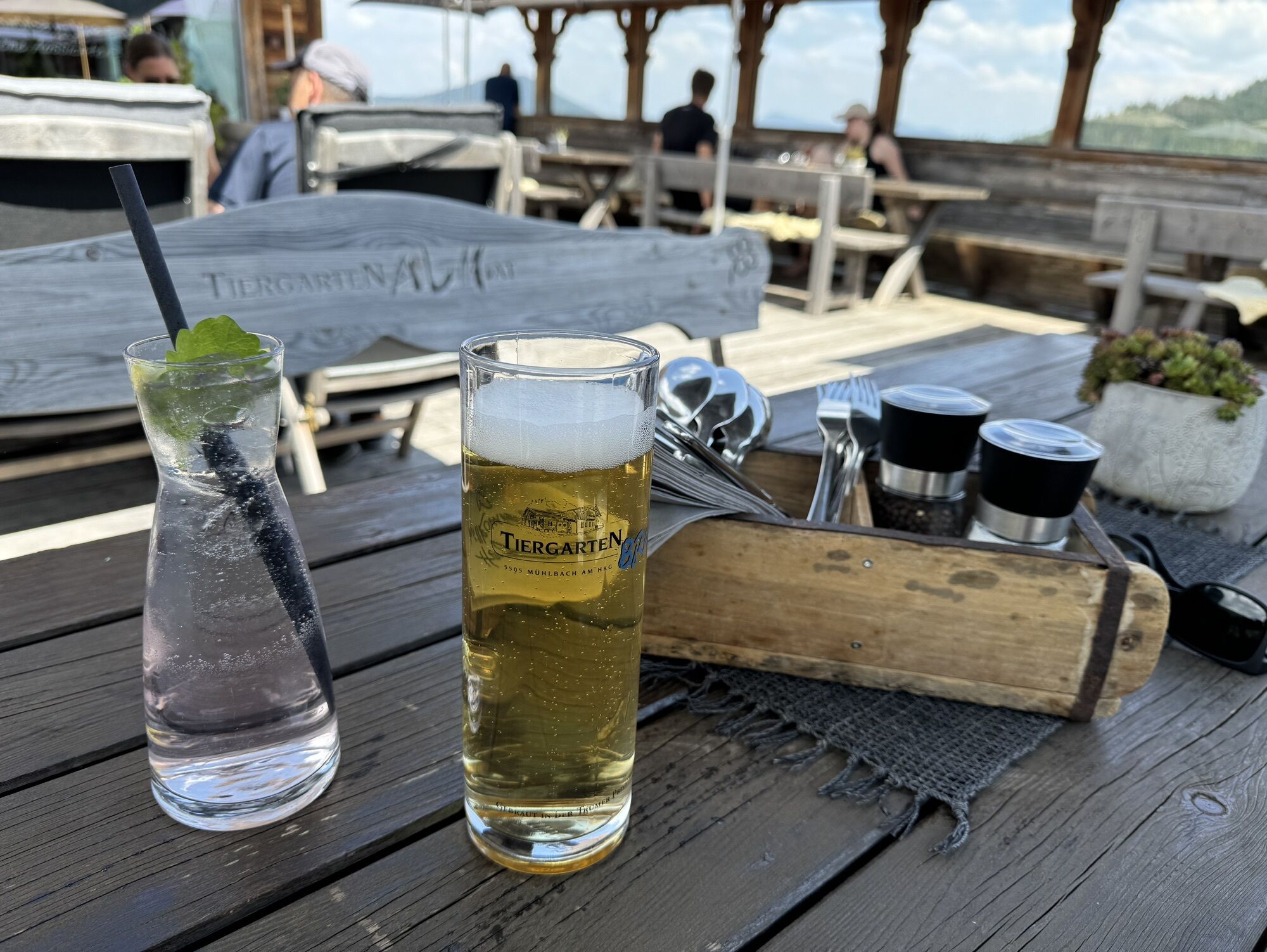
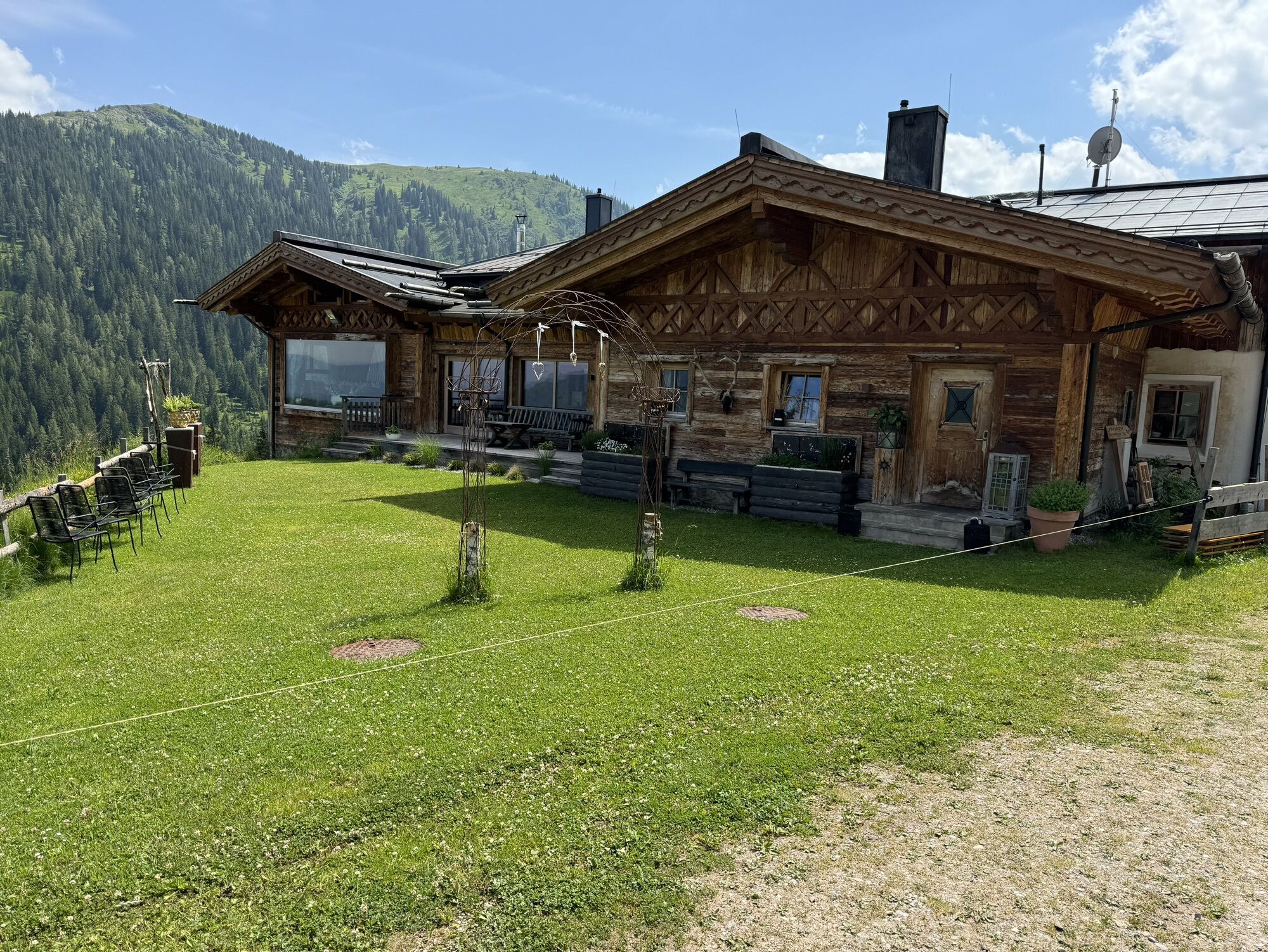
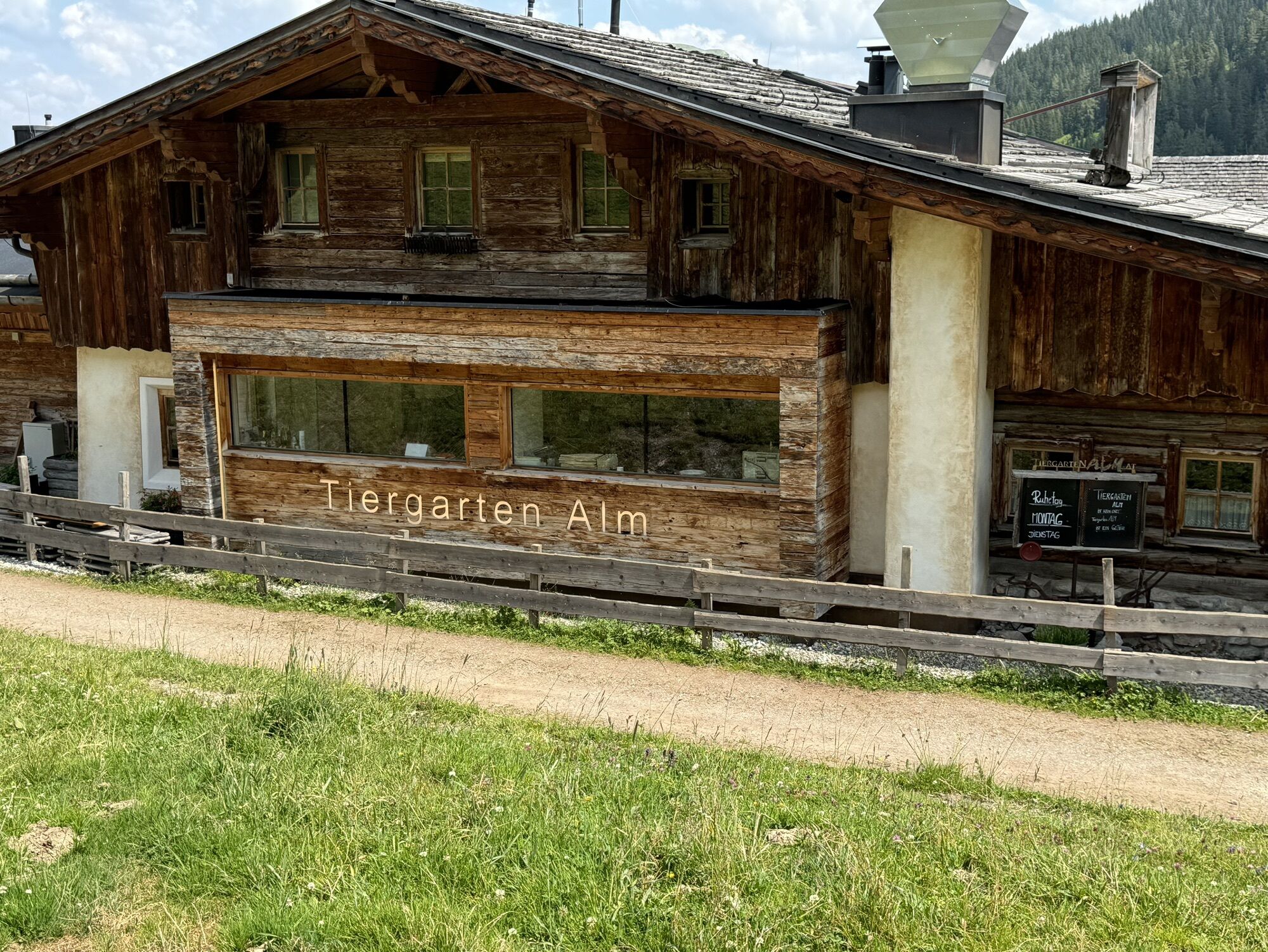
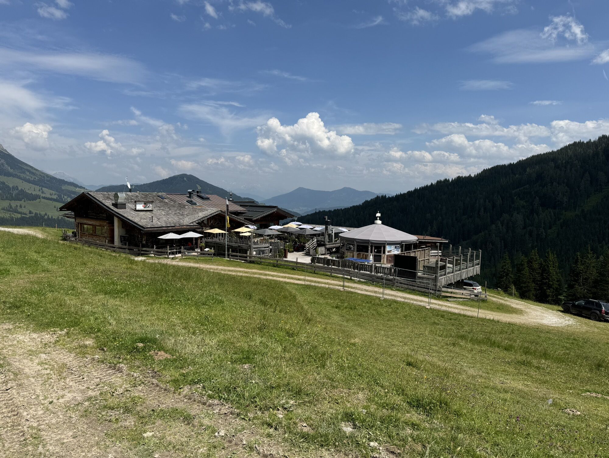
From Arthurhaus, you follow Trail No. 1 towards Scheppal Alm, then continue to Tiergartenalm. Here starts the steepest climb of the day – up to the Wastlhöhe. Fitness required, but rewarding! Don't forget the checkpoint.
As a reward, the Bürglalm Mitzi Trail follows: 5 km of trail fun, 640 meters of descent, flowing lines, and fantastic views.
At the bottom, you arrive directly at the day's destination: Dienten – with checkpoint!
The route requires good basic fitness and secure riding skills
Especially off-road sections can be challenging depending on the weather
Bring enough food and water
Protective gear (helmet, gloves, pads)
Check current weather conditions if necessary
Arrival from Salzburg: Take the A10 motorway to the Bischofshofen exit, then on the B311 towards Bischofshofen. Follow the Hochkönig federal road/B164 to Mühlbach and on to Dienten. Arrival from Innsbruck/Kufstein: Take the Lofer road/B178 towards St. Johann i.T., then via the Hochkönig federal road/B164 via Saalfelden and Maria Alm to Dienten or the Filzensattel. A valid vignette is required for using the Austrian motorway and expressway network. Carrying a first aid kit, warning triangle, and safety vest is also mandatory. More information at Asfinag.
ÖBB-Scotty: timetable information
Bus Line 620: timetable information
Bus Line 631: timetable information
Hiking bus: timetable information
Free parking spaces available
S2
Kamery internetowe z trasy
-
Mühlbach am Hochkönig
-
Maria Alm - Hochmaisbahn
-
Pfarrwerfen Feratel
-
Mühlbach am Hochkönig - Hotel Bergheimat
-
Bischofshofen-Kreuzberg
-
Bergstation Kings Cab
-
Matrashaus am Hochkönig
-
Dienten - Übergossene Alm Resort
-
Dienten - Almsee
-
Dienten - Übergossene Alm Resort
-
Dienten, Bürglalmabfahrt
-
Pfarrwerfen, Eulersberg
-
Bürglalmbahn Abfahrt
-
Hochkönigblick
-
Arthurhaus - Mühlbach
-
Hinterthal - Urslauerhof
-
Hinterthal - Urslauerhof
Uzyskaj wgląd
Zawsze na żywo z ponad 9 500 kamer internetowych. bergfex Jako użytkownik Pro, możesz teraz zobaczyć odpowiednie kamery internetowe dla wielu wycieczek w aplikacji wycieczki od. Pozwala to na bezpośredni podgląd aktualnych warunków.
Popularne wycieczki w okolicy
-
4,6
Werfenweng Mountainbikerunde Söldenhütte
średniMountainbike 18,8 km -
4,9
Großarl: Heukareck
średniWędrówka 12,5 km -
4,8
Summit stormer route Lauskopf
ciężkiWędrówka 8,16 km -
4,8
Summit storming route Taghaube
ciężkiWędrówka 6,25 km -
4,7
About the "Four Huts circular route" to Windraucheggalm
średniWędrówka 10,1 km -
4,6
Panorama hike to the Hochkeil
średniWędrówka 6,07 km -
3,6
Wanderung zur Ostpreußenhütte in Werfen (1.630 m)
średniWędrówka 11,2 km -
4,9
Hochkönig - Gipfel der Gefühle - Matrashaus
ciężkiWędrówka 20,9 km -
4,8
Liechtensteinklamm mit Helix
światłoTrasa tematyczna 3 km -
4,3
Mühlbacher Höhenweg
średniWędrówka 11,2 km
Wędrówki i tropienie


Nie przegap ofert i inspiracji na następne wakacje
Twój adres e-mail została dodana do listy mailingowej.





