






Königstour: BIKE light - day 1 from Maria Alm to Dienten

Poziom trudności: S2
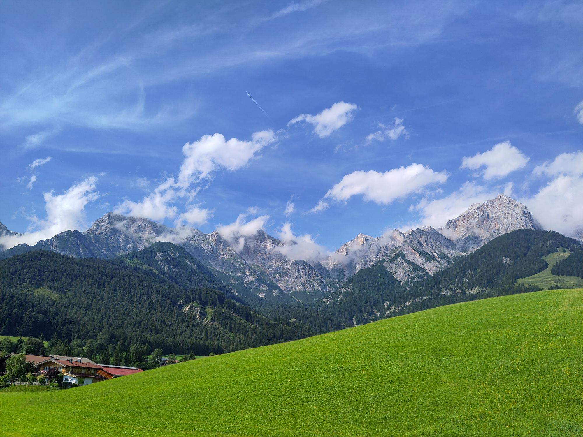
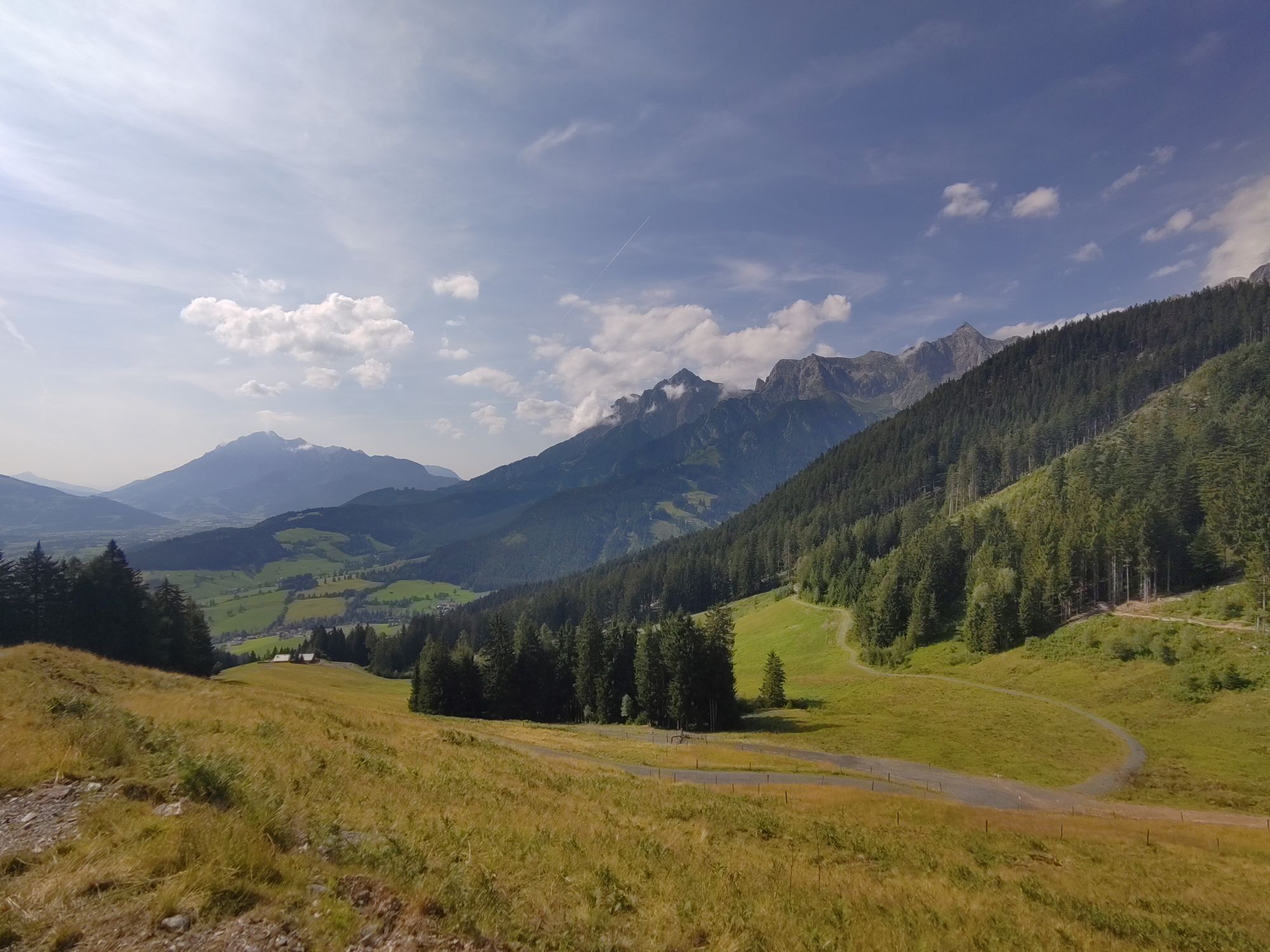
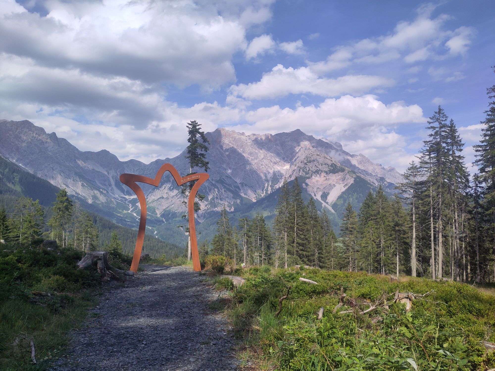
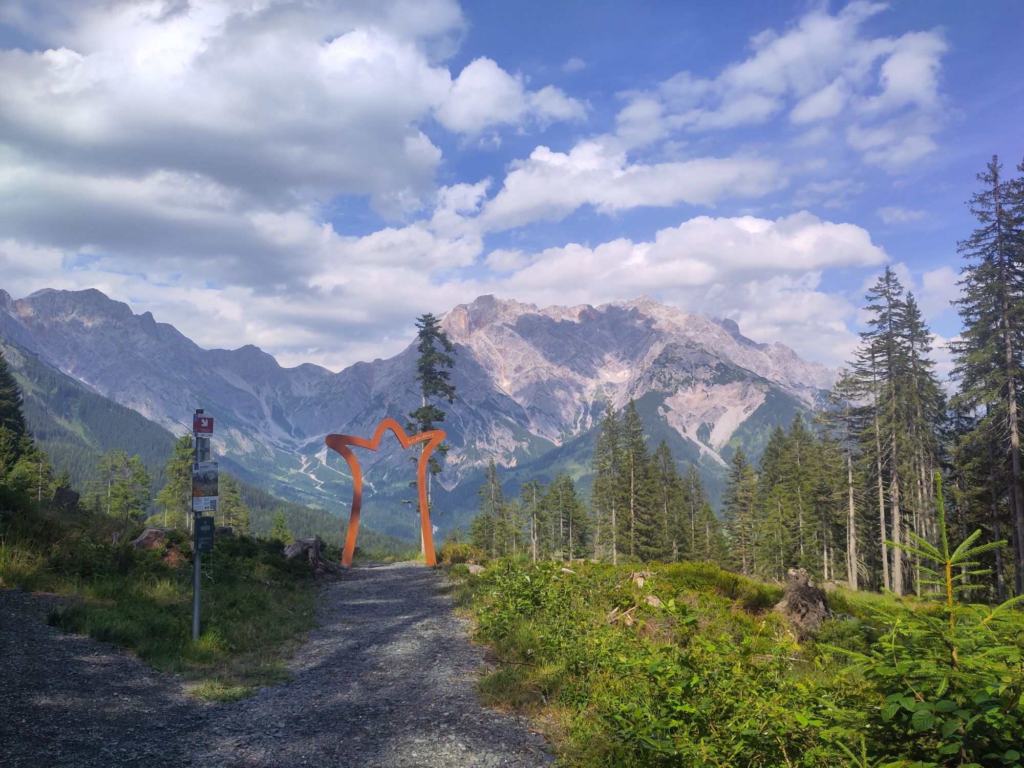
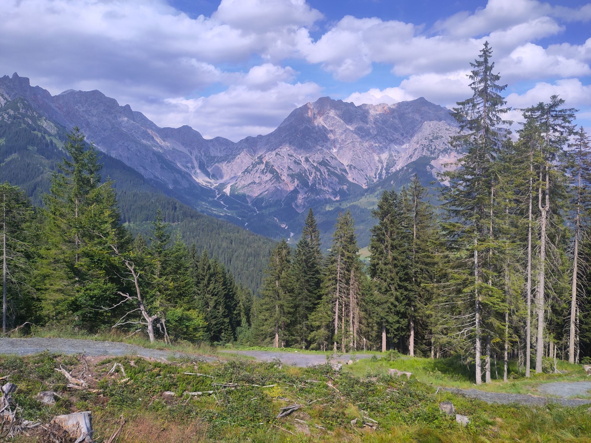
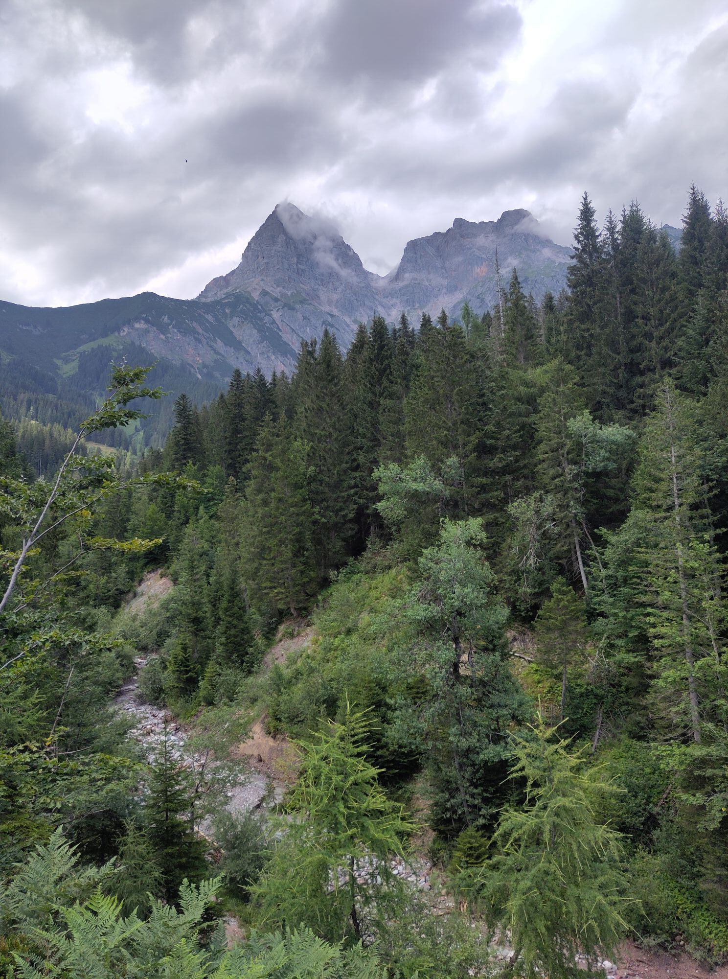
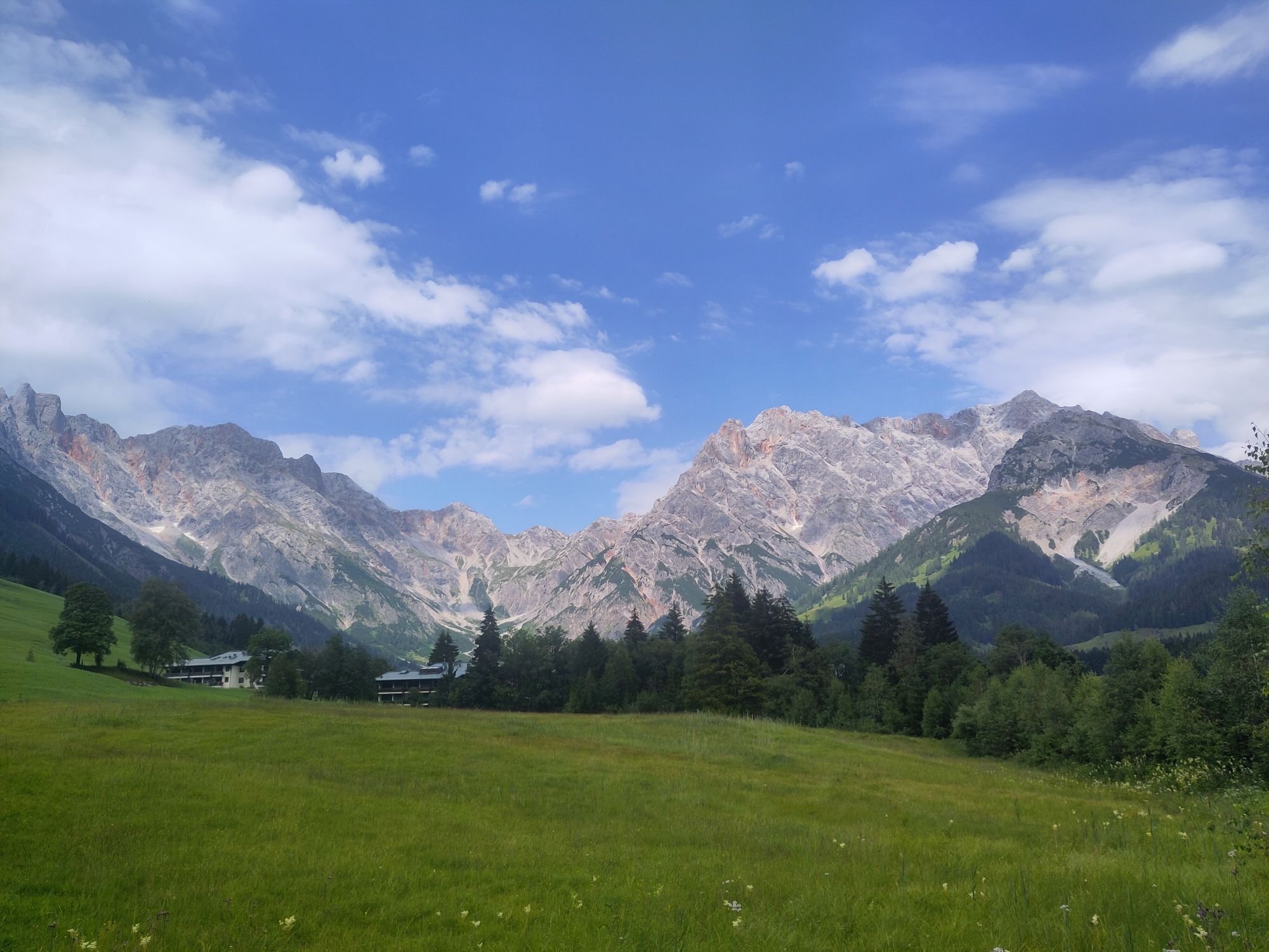
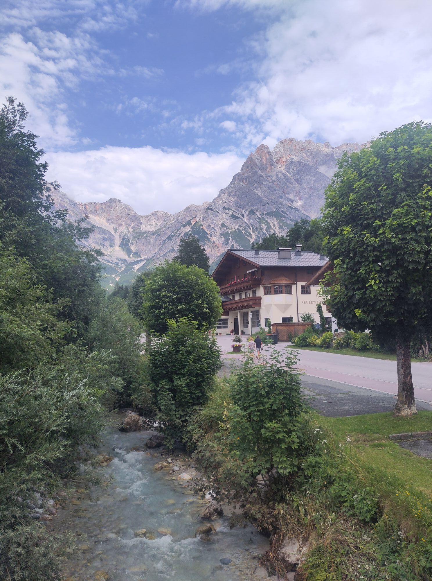
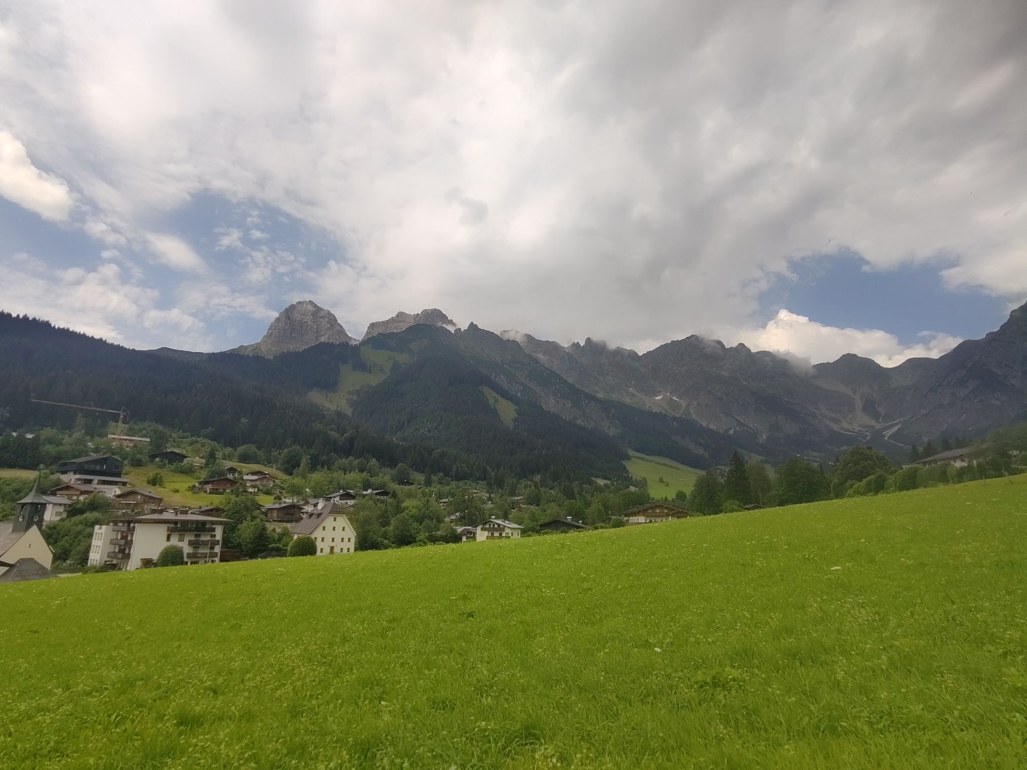
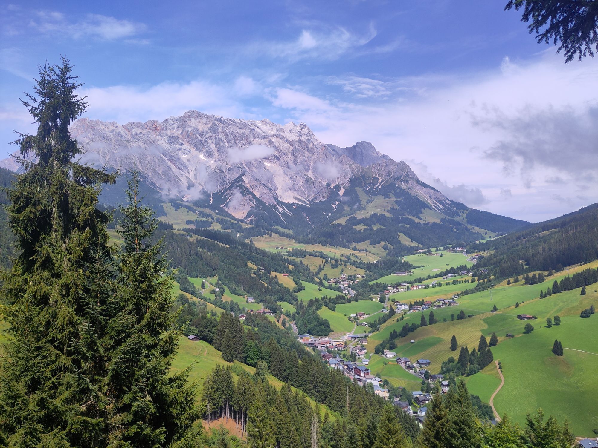
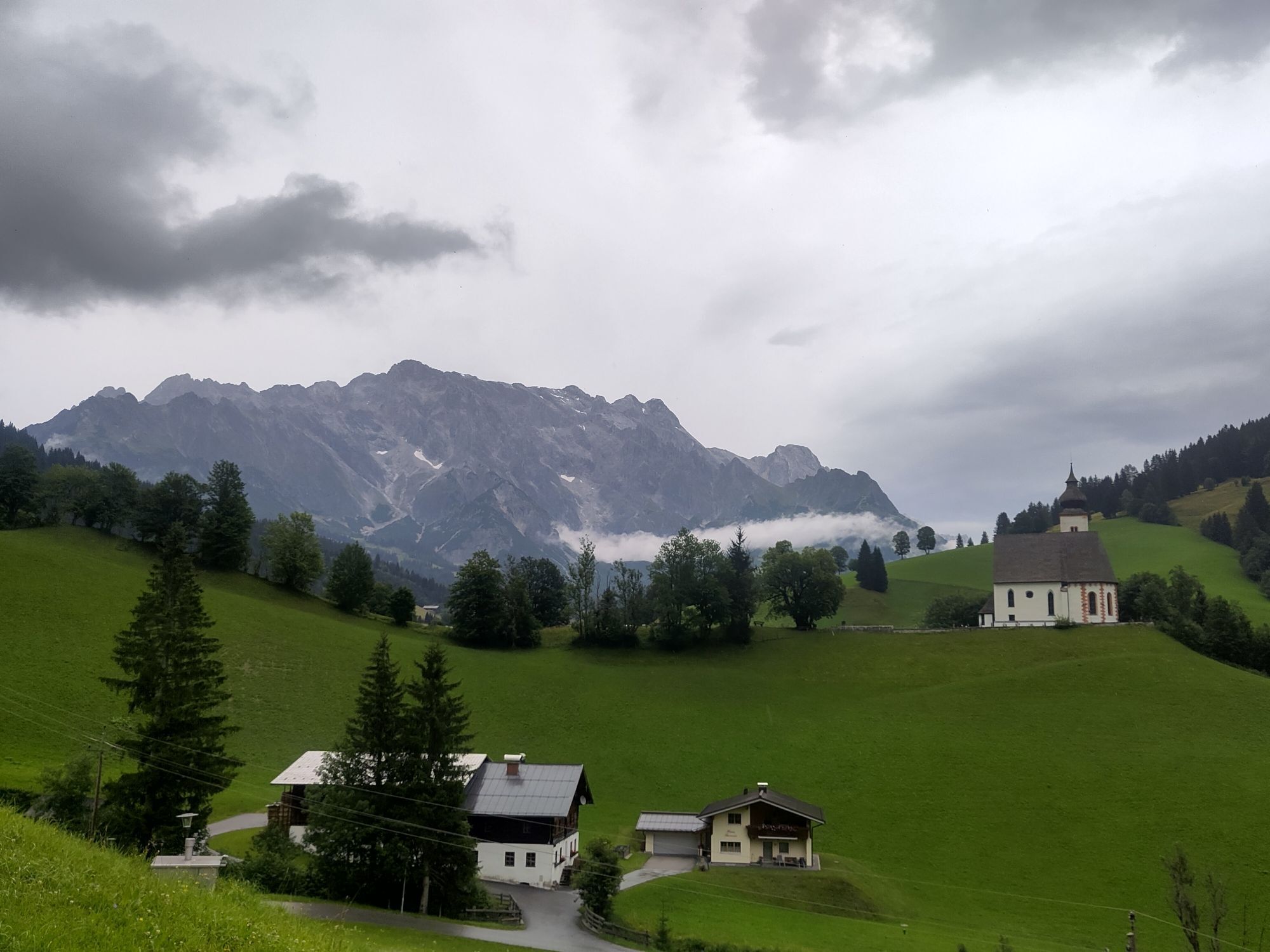
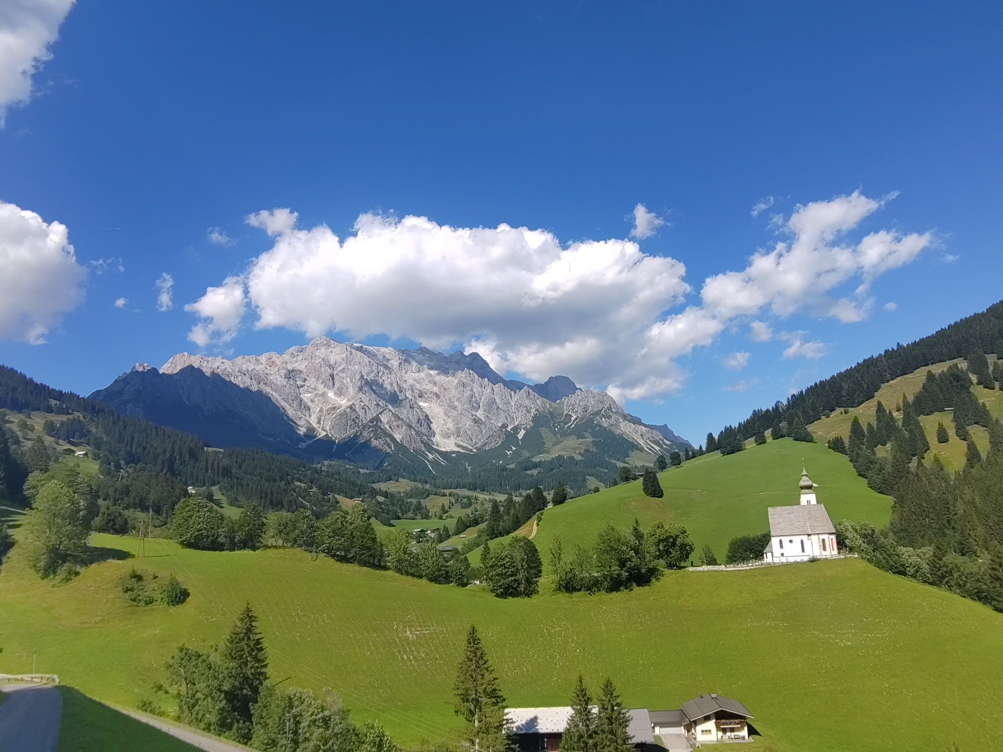
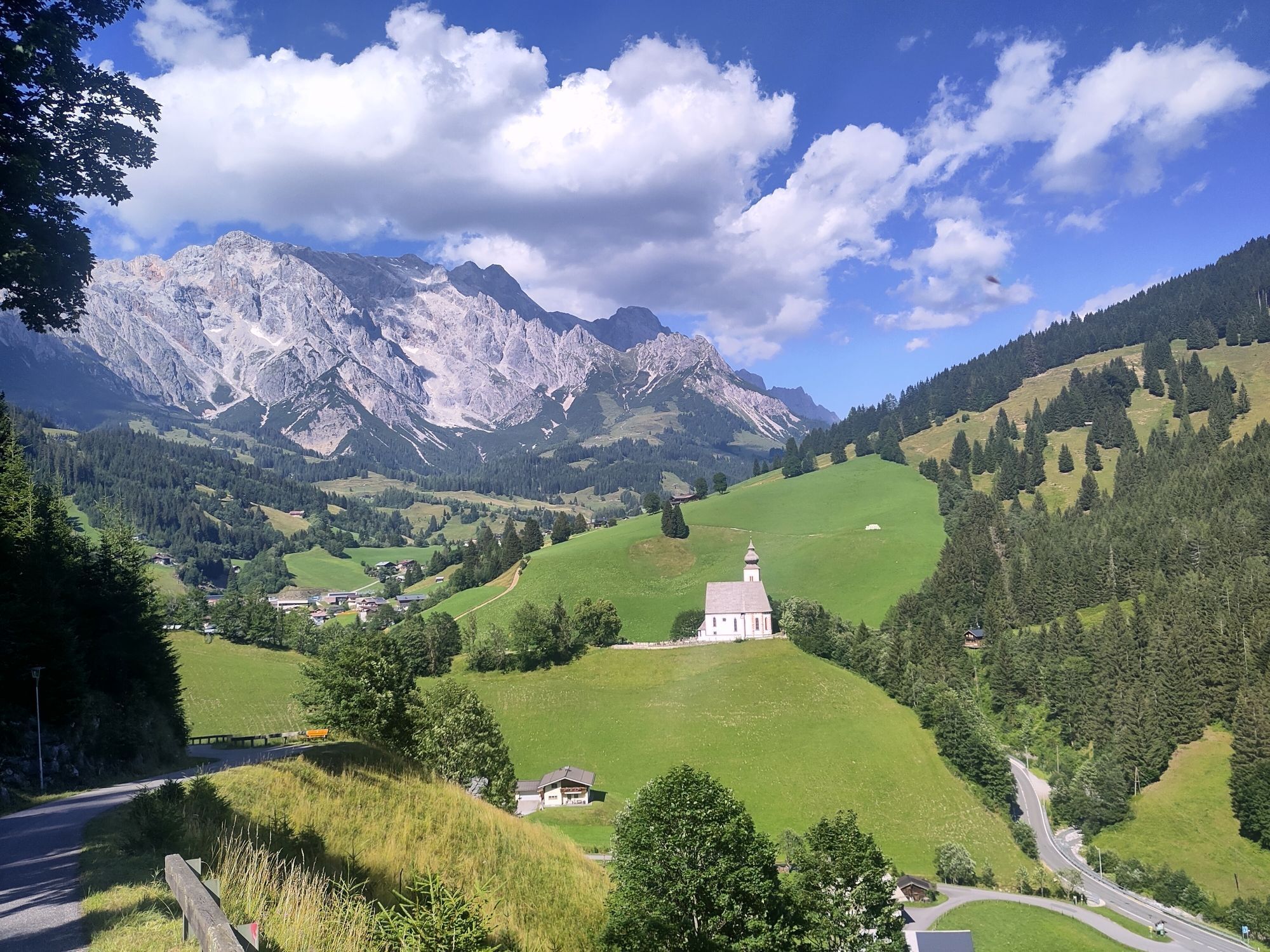
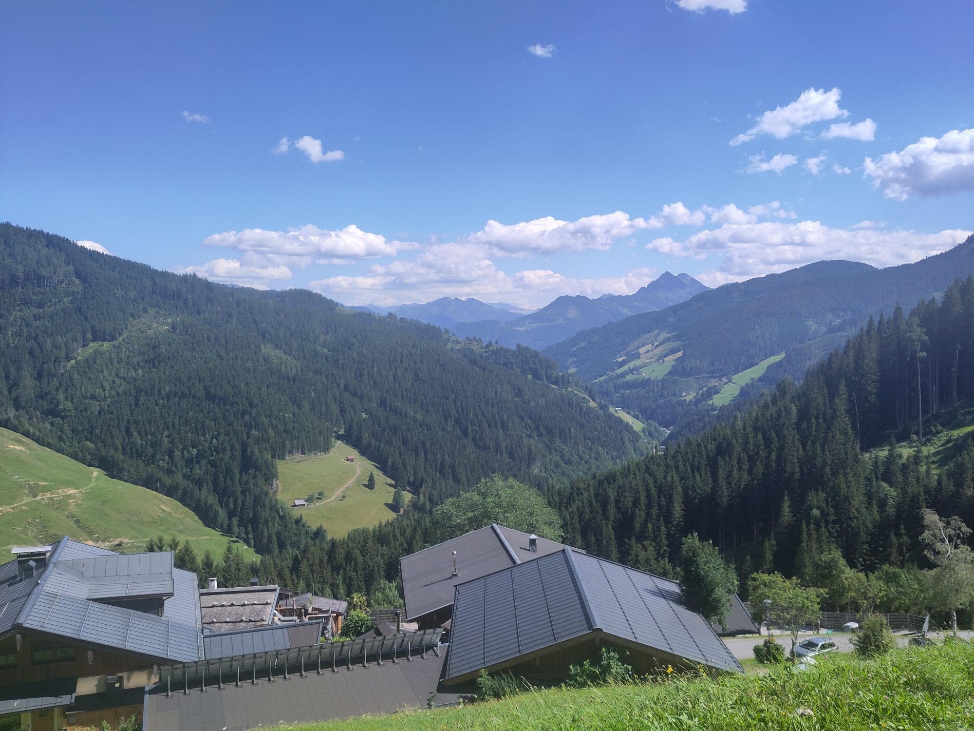
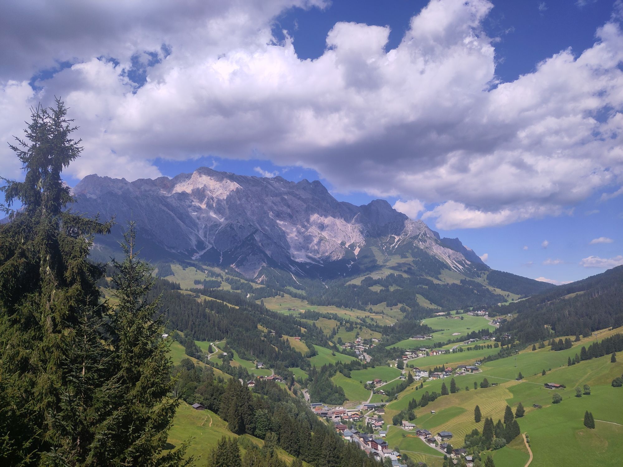
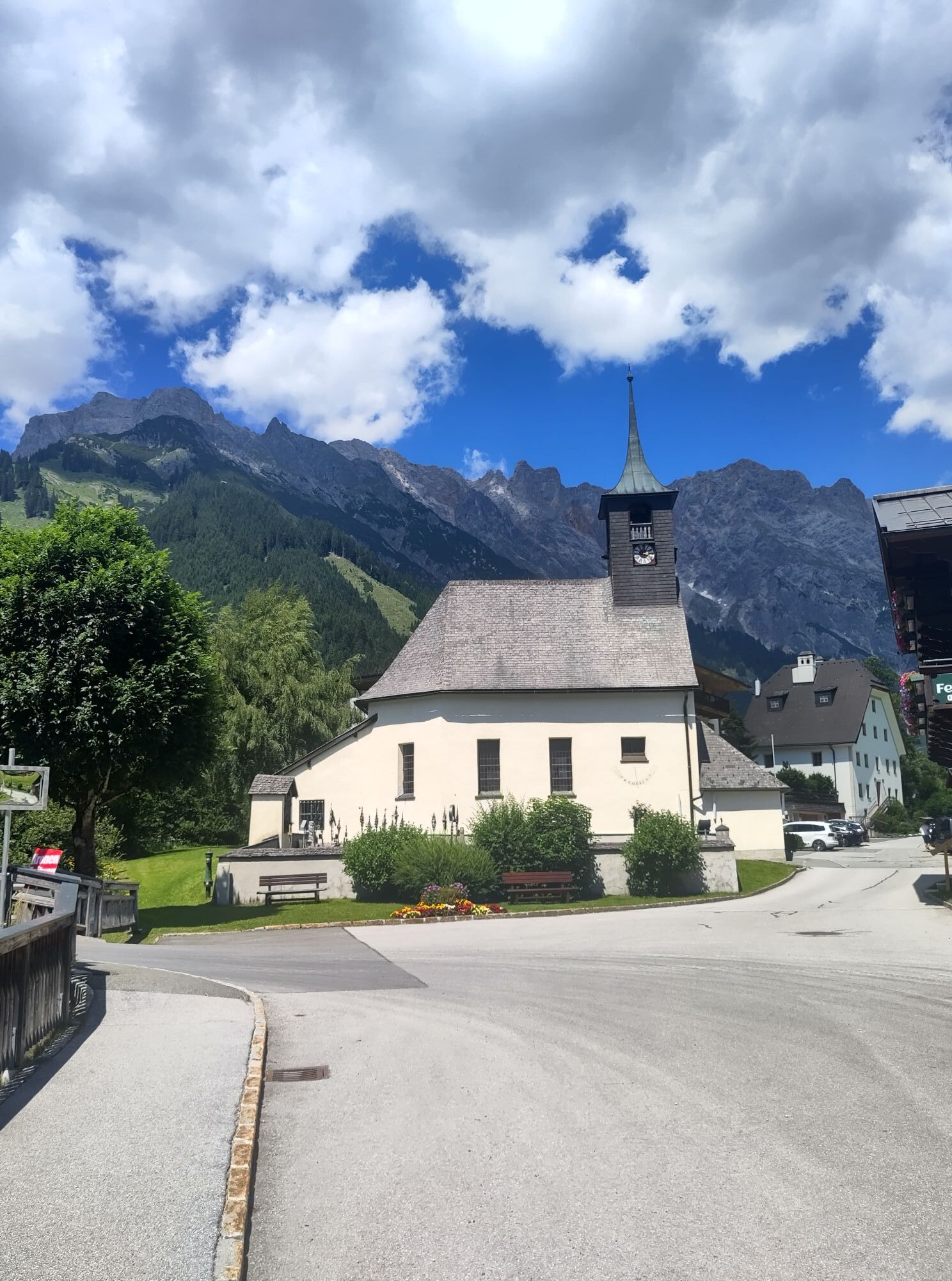
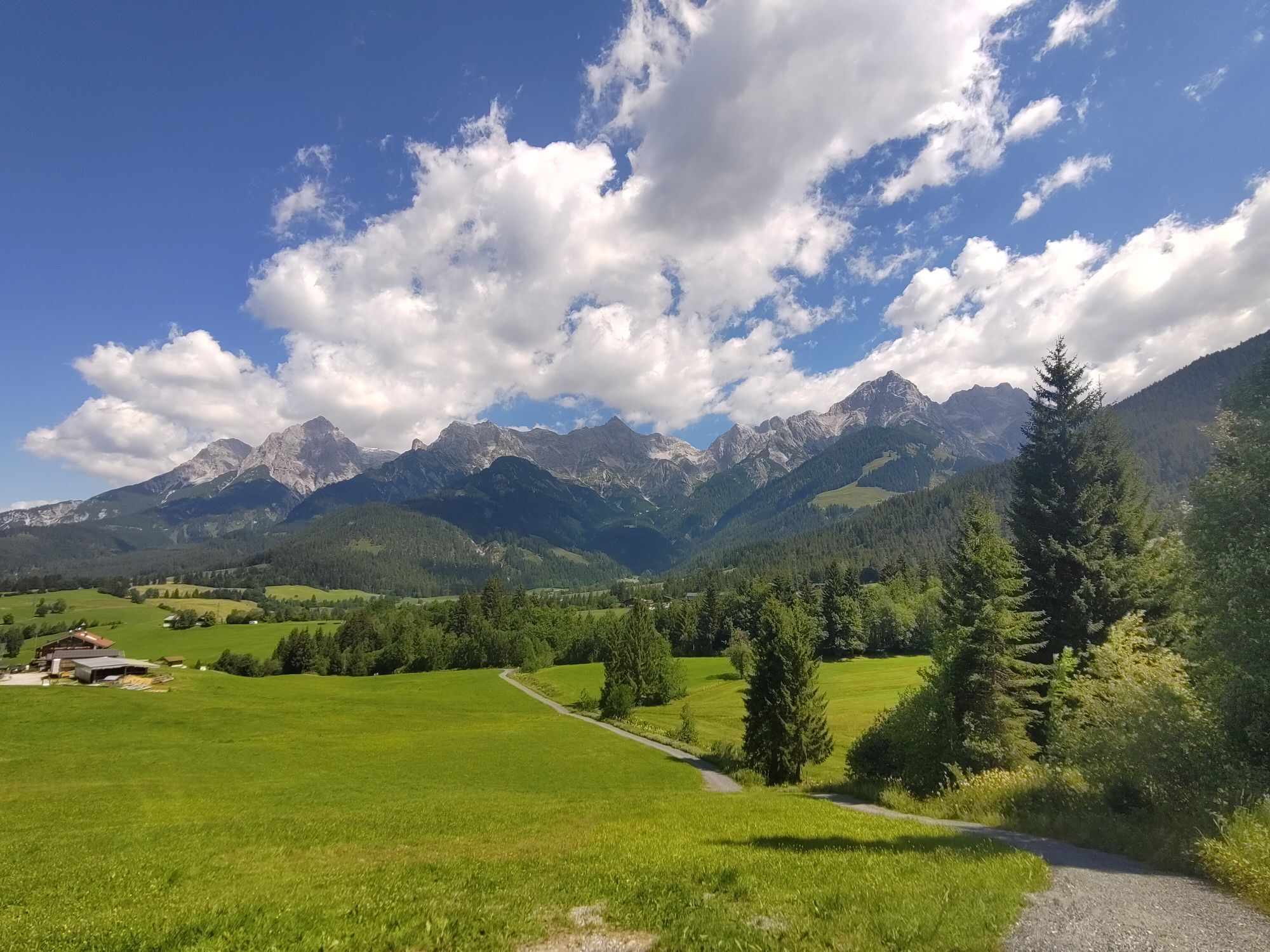

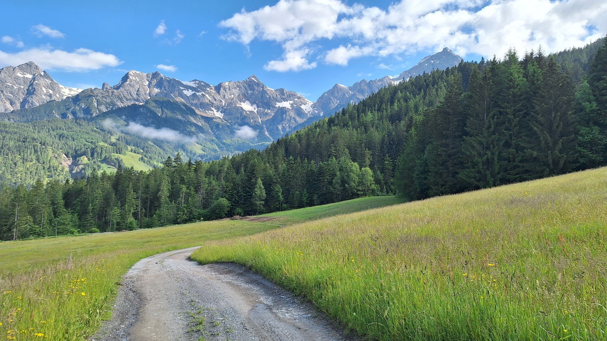
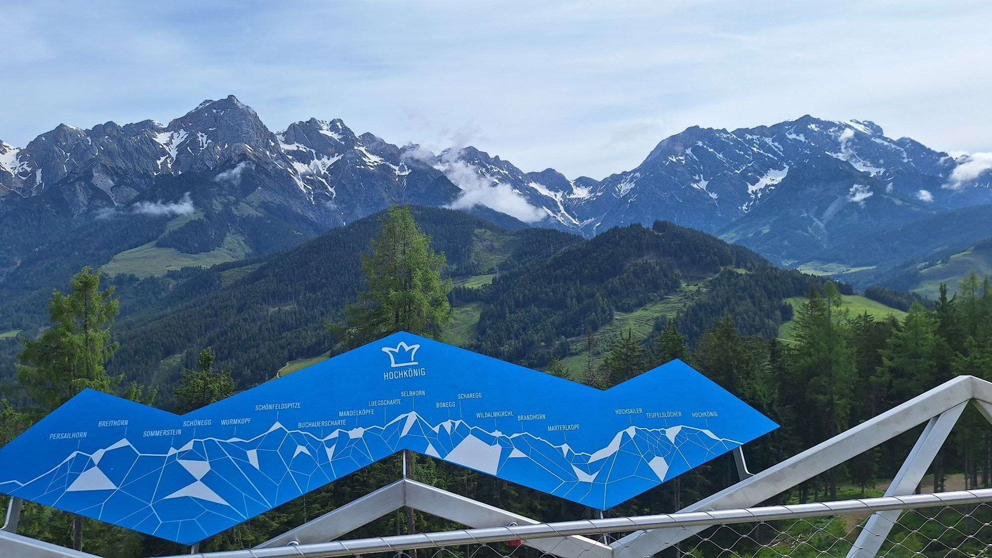
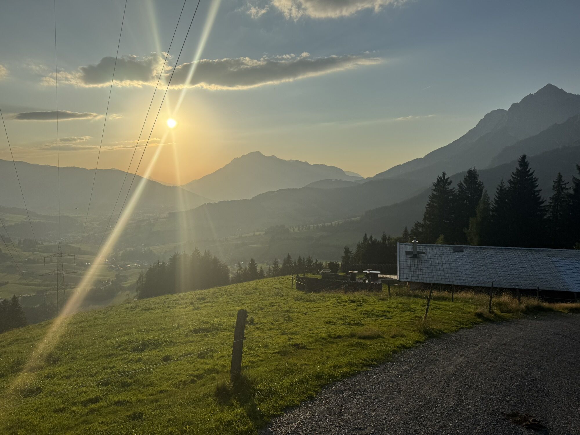
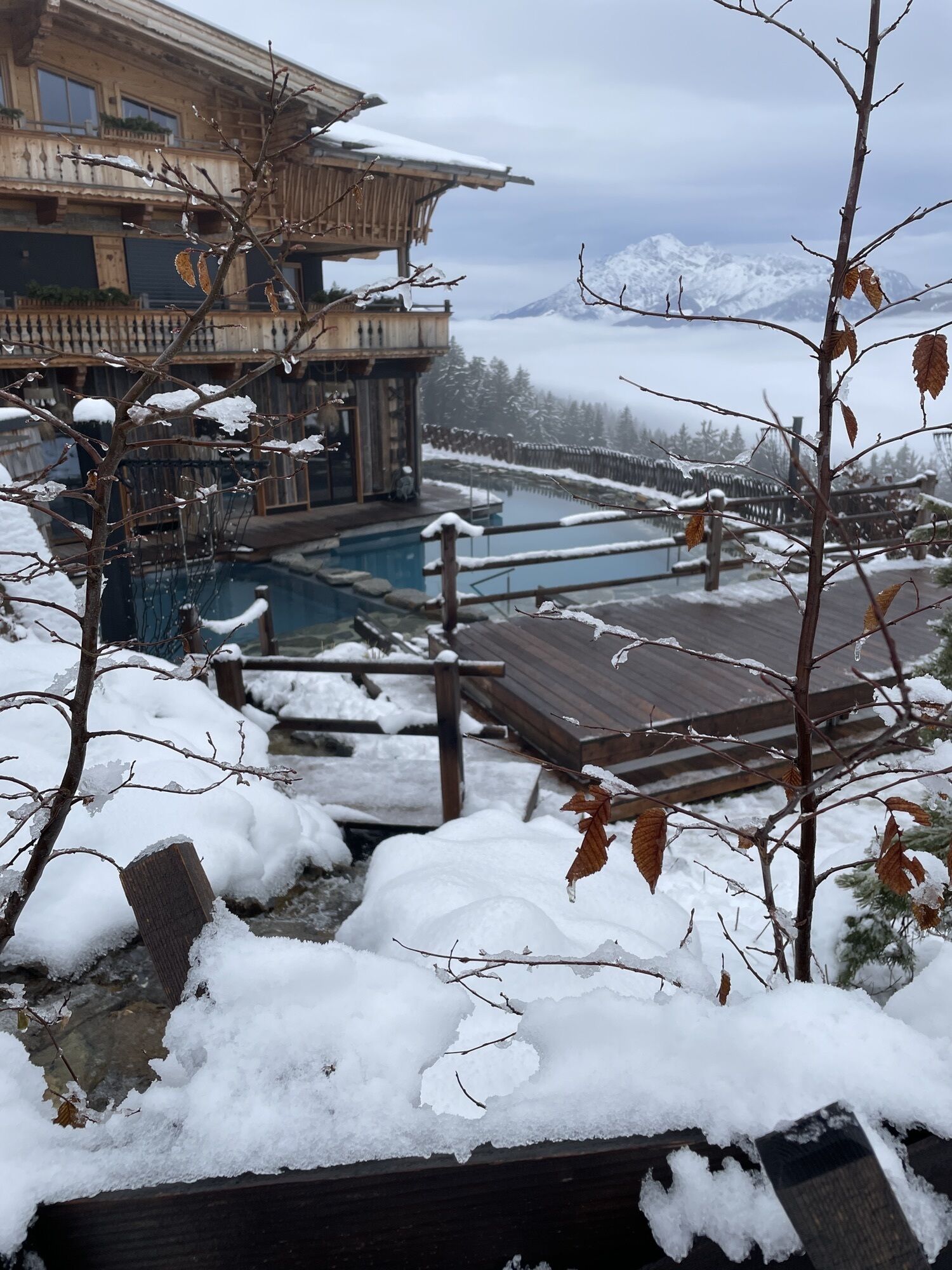

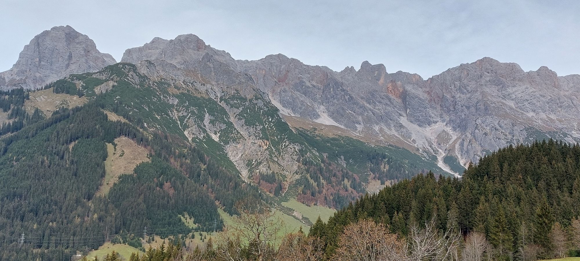
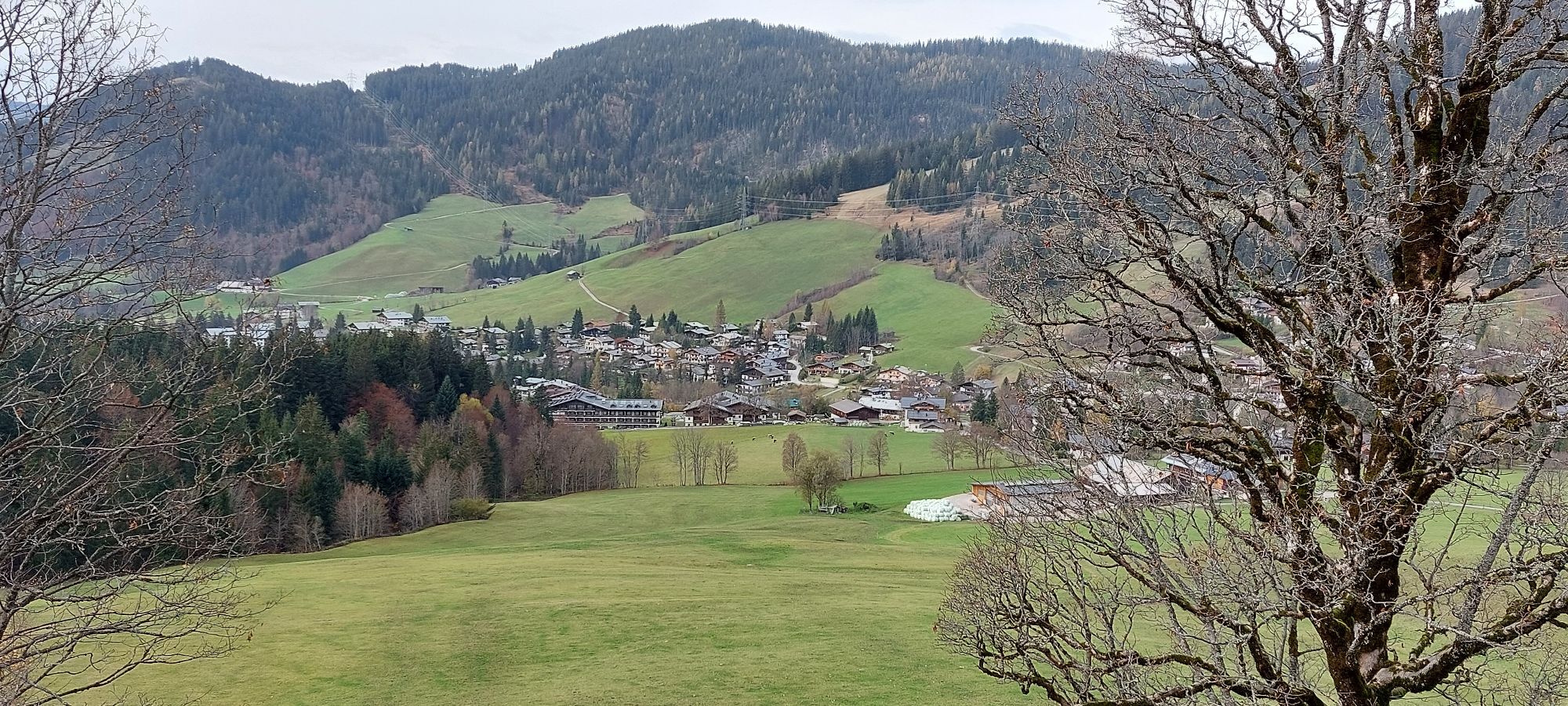
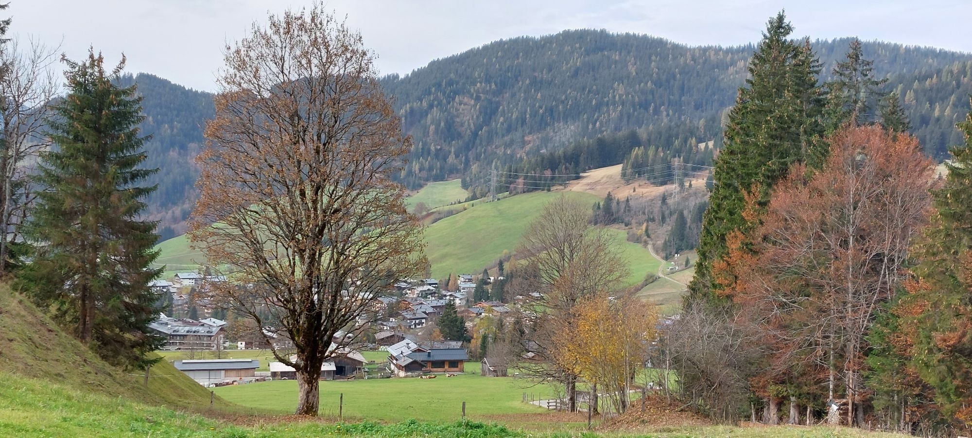
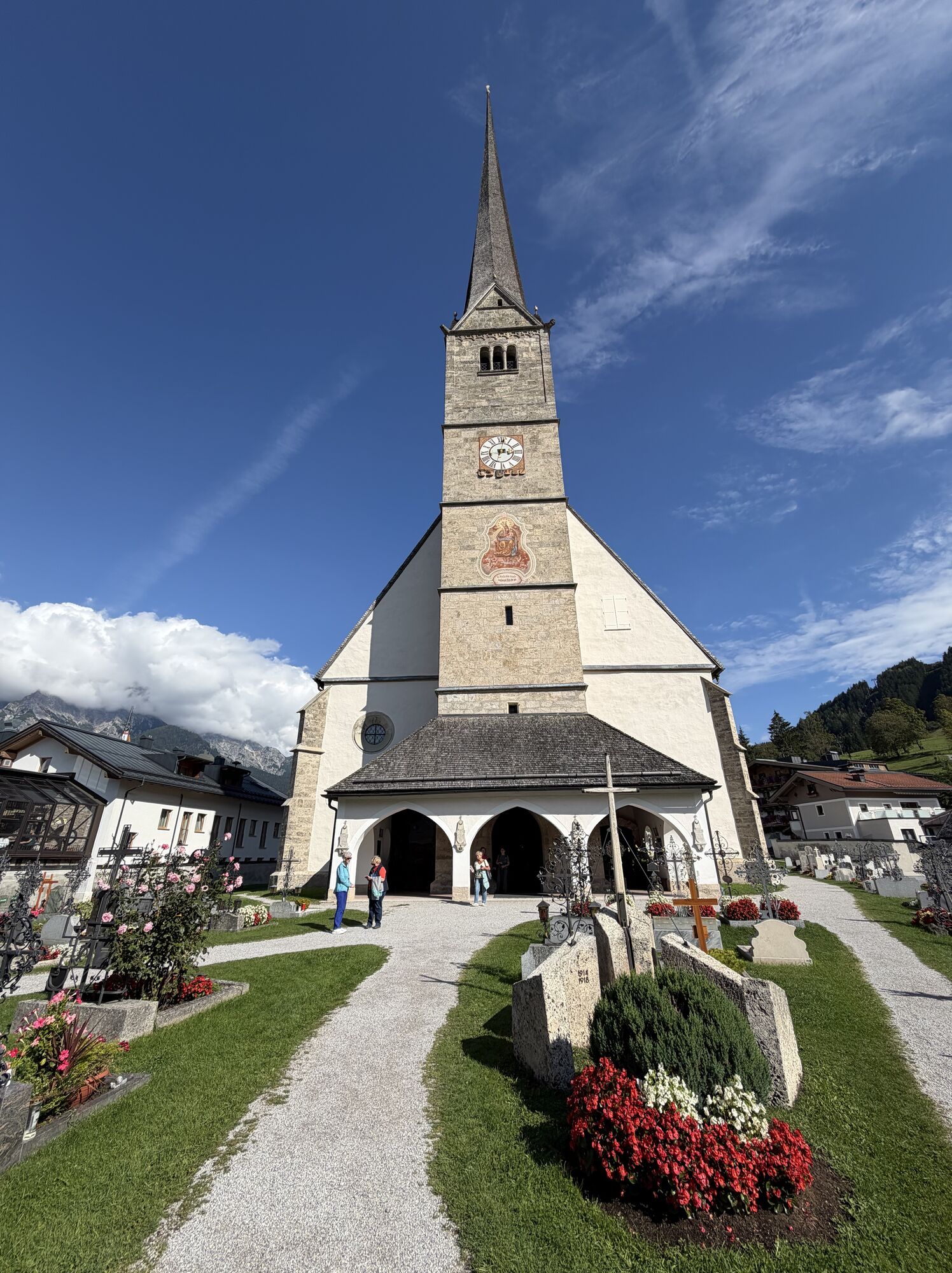
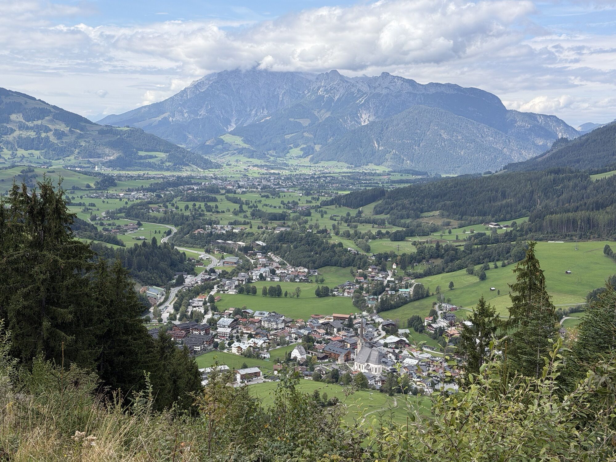
The first stage of the Königstour BIKE light leads you from Maria Alm at the Steinernes Meer to Dienten am Hochkönig. The varied route combines scenic sections with sporting challenges and offers a perfect...
The first stage of the Königstour BIKE light leads you from Maria Alm at the Steinernes Meer to Dienten am Hochkönig. The varied route combines scenic sections with sporting challenges and offers a perfect mountain bike experience in the Salzburg Alps.
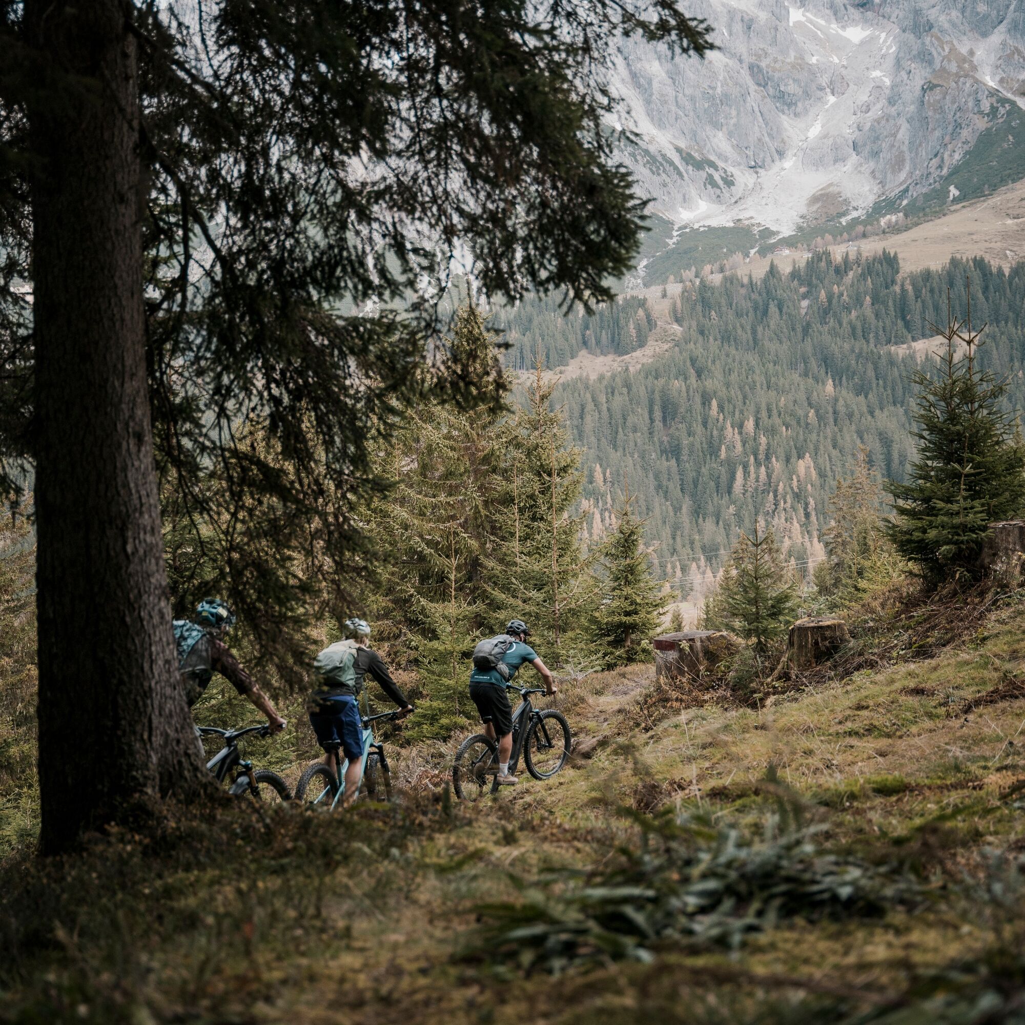
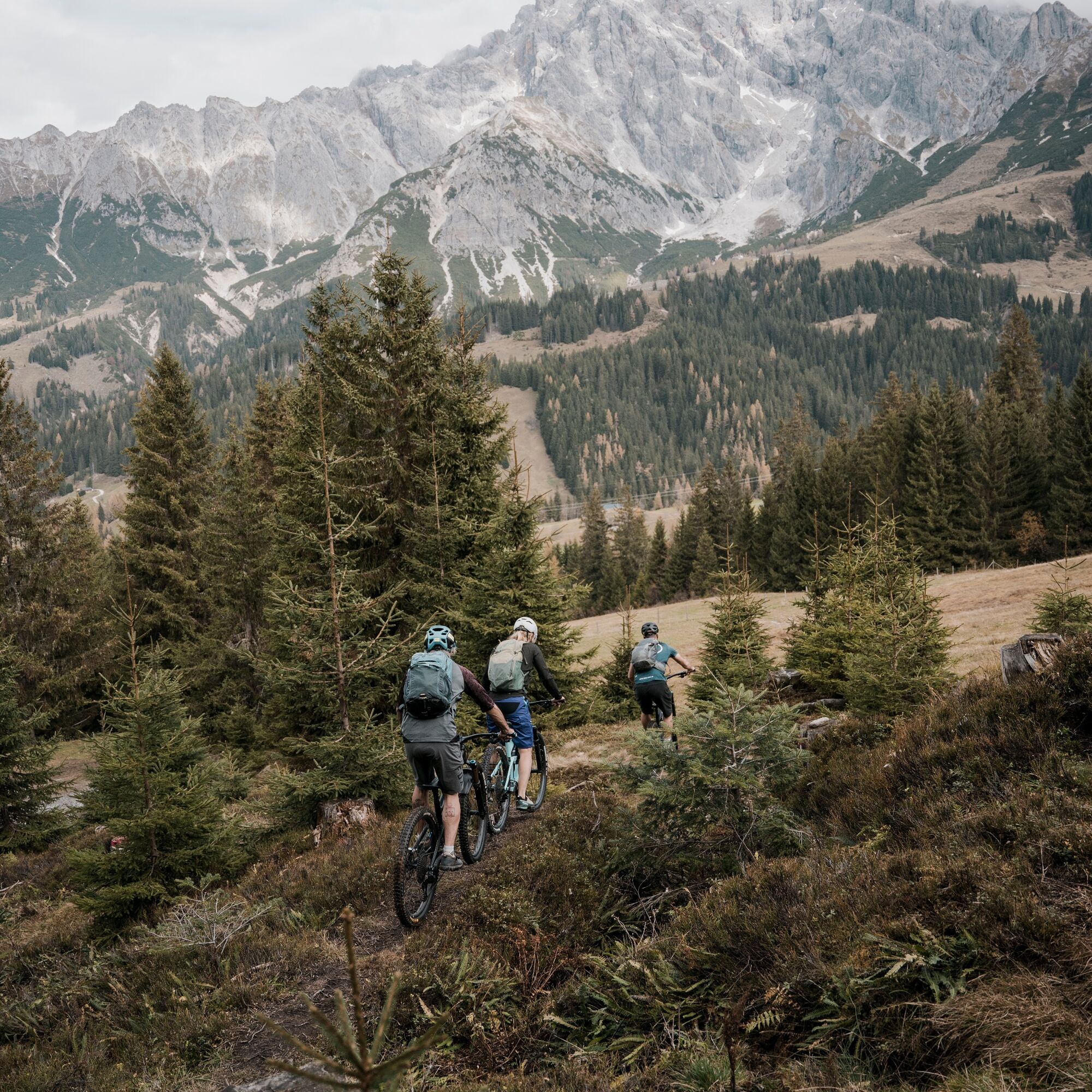
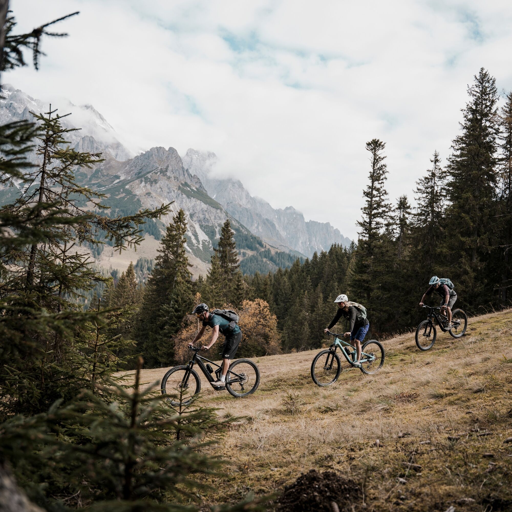
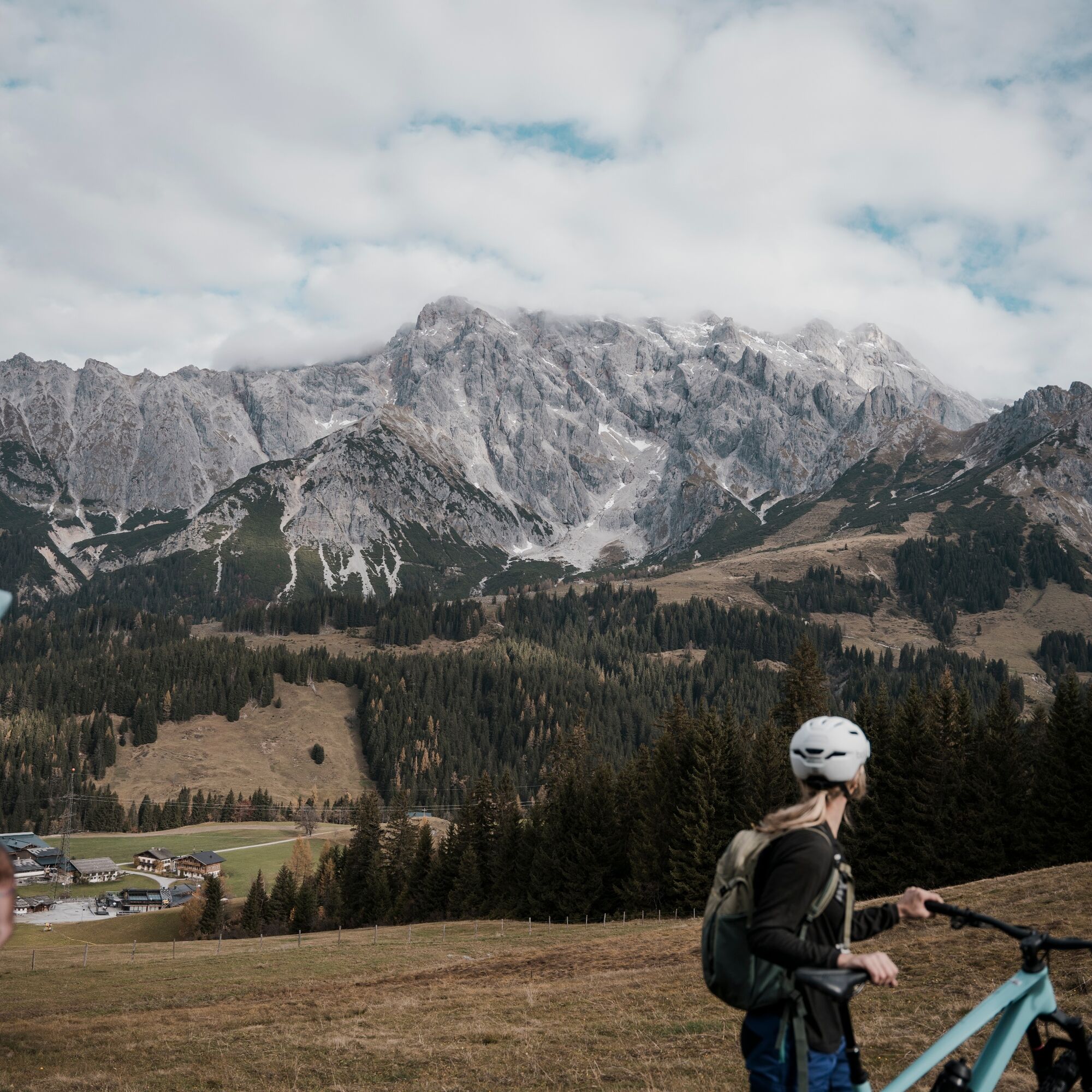

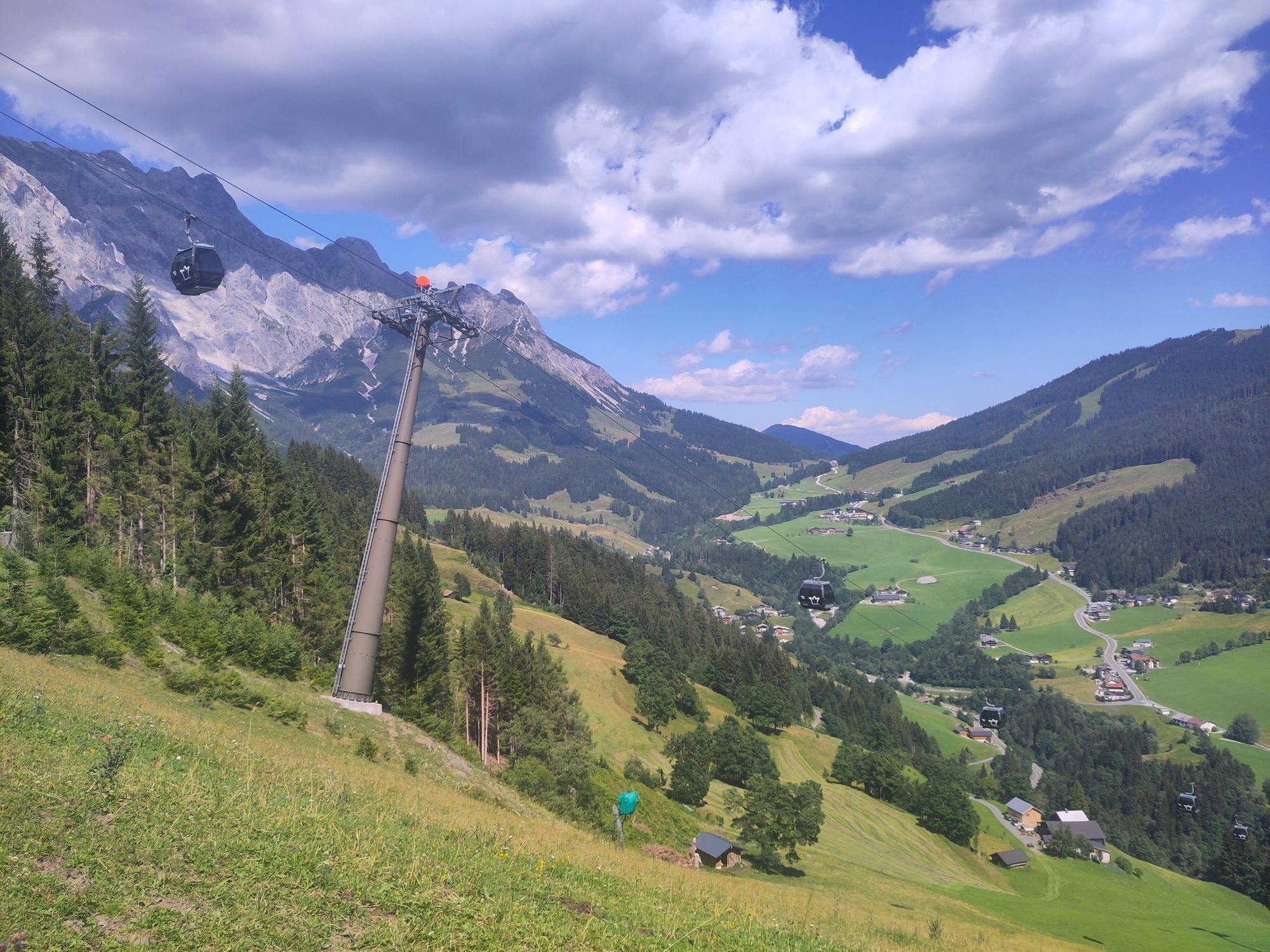
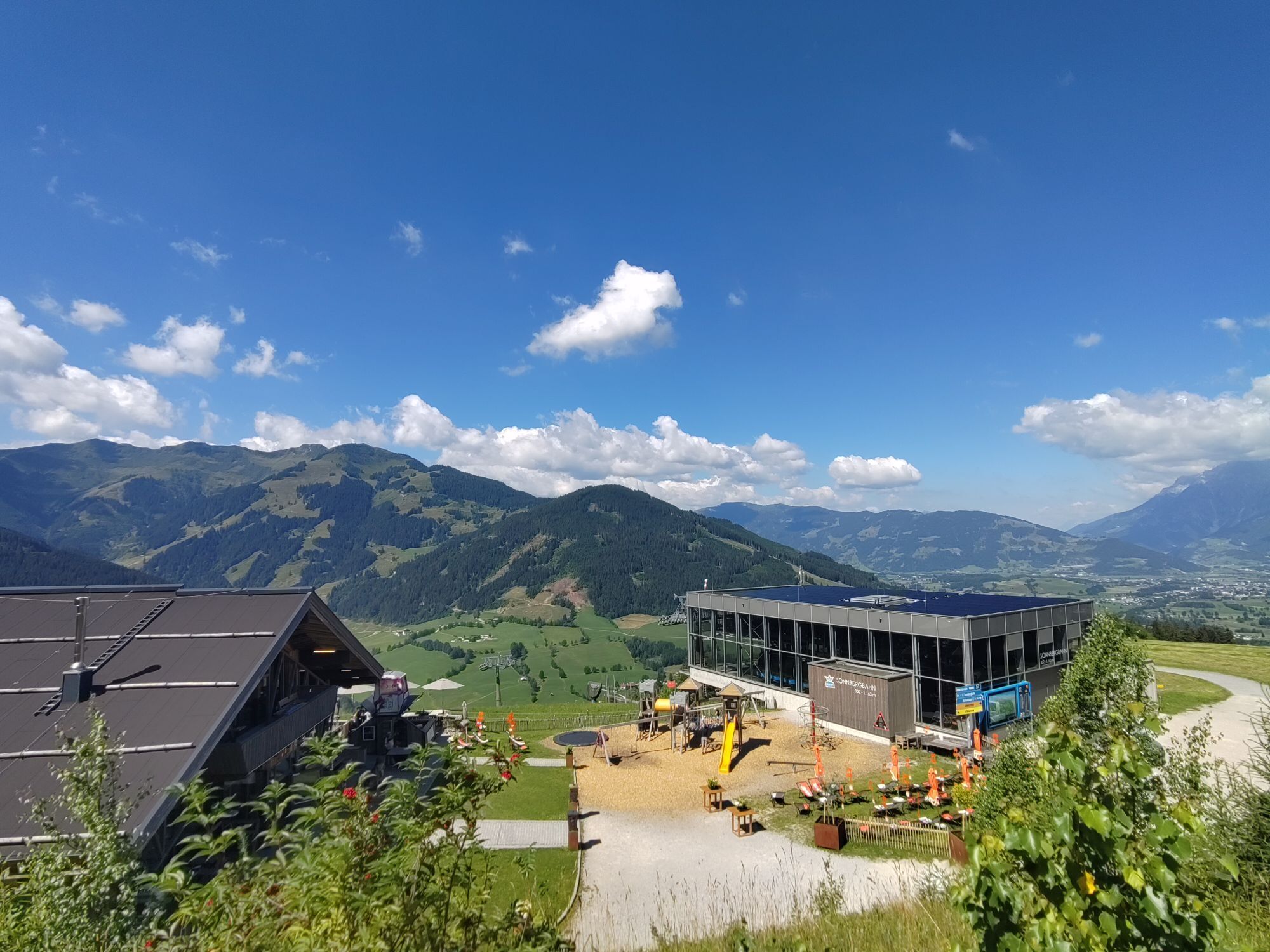
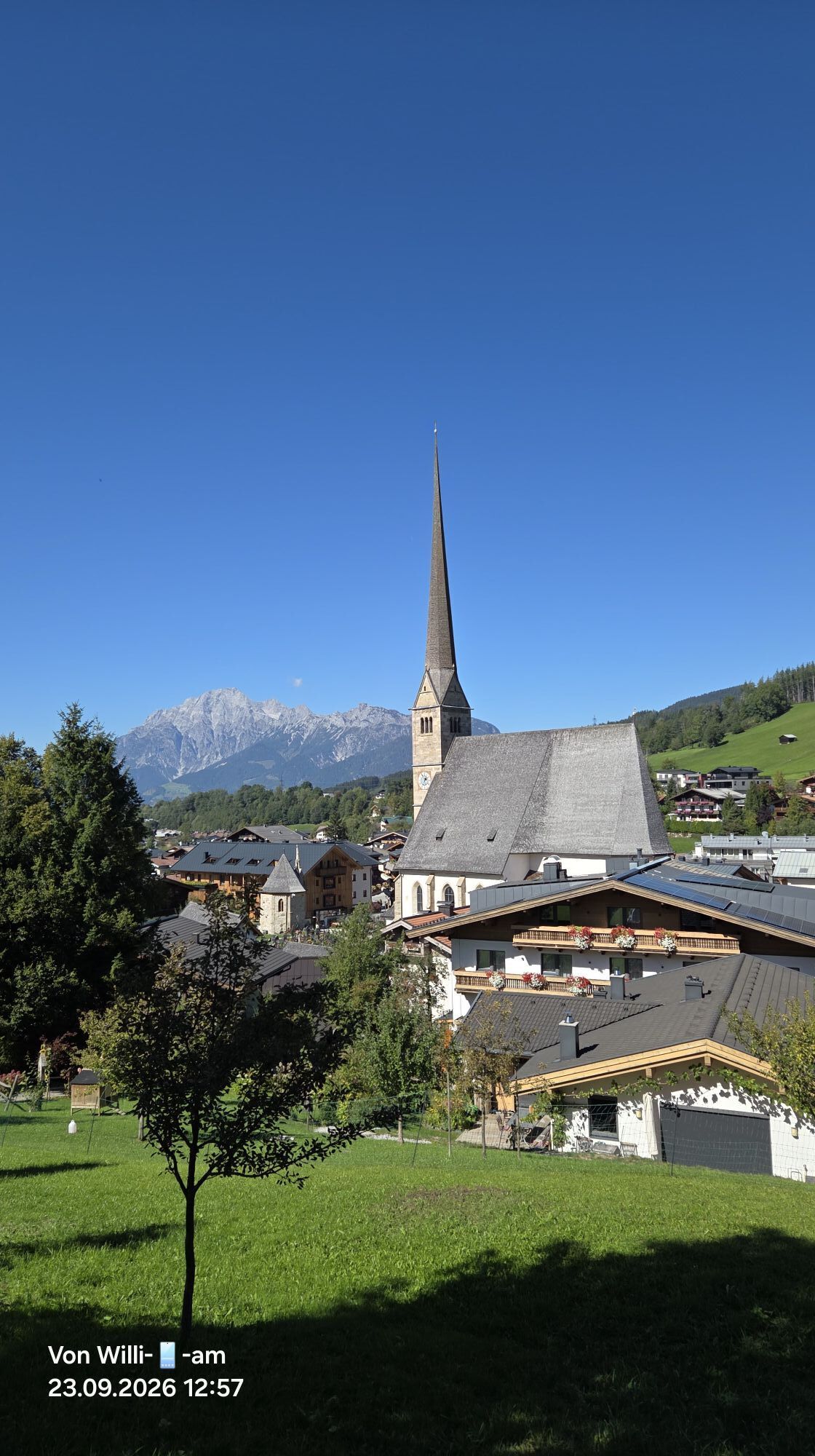
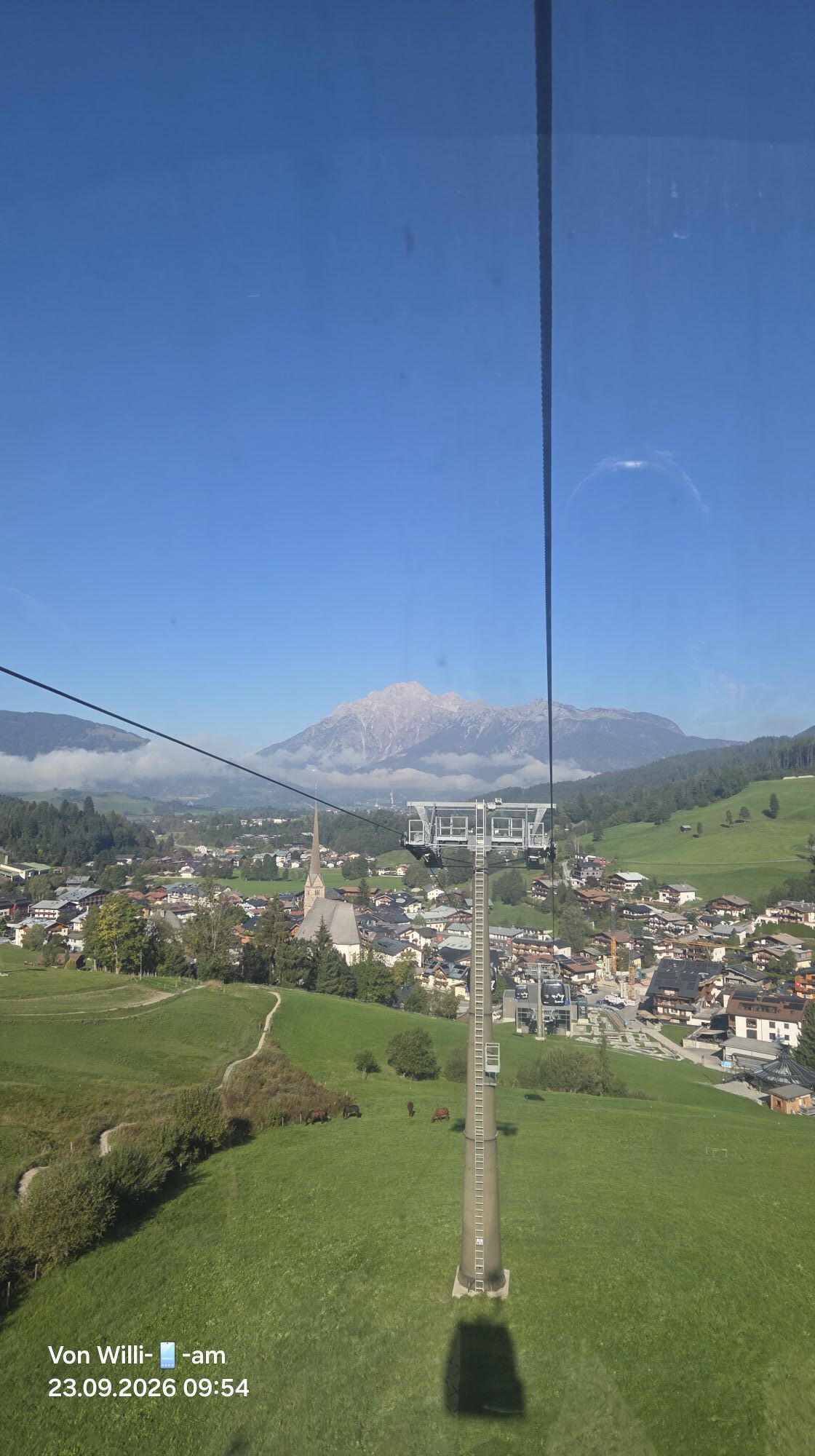
Your route starts in the town center of Maria Alm. With the Natrunbahn you comfortably ride to the mountain station – attention, first checkpoint!
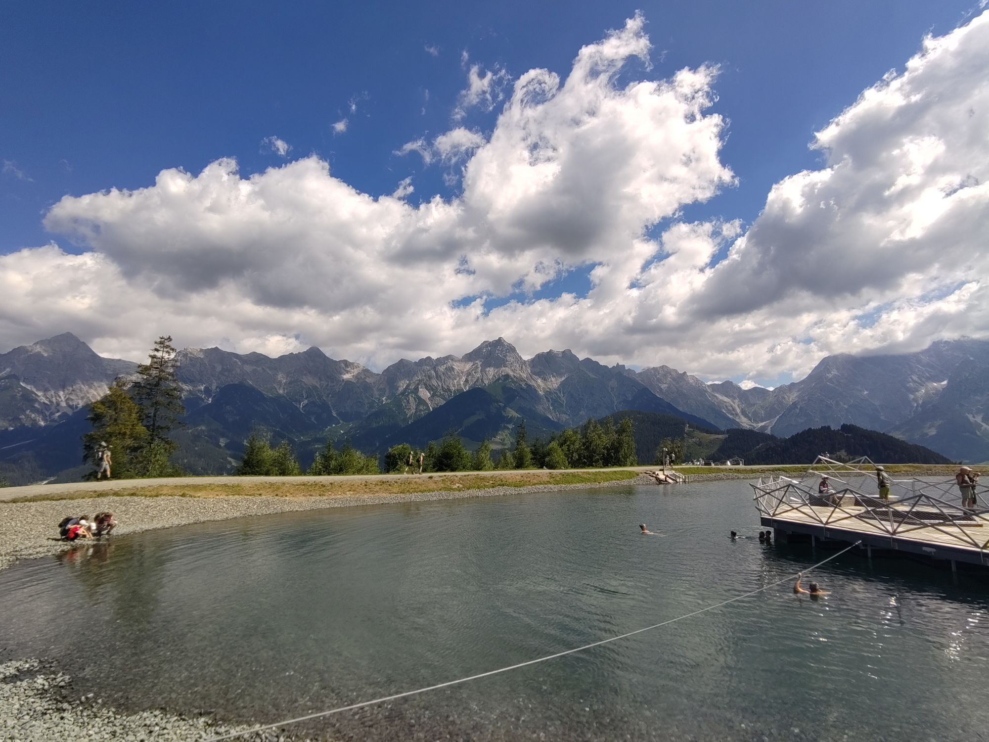
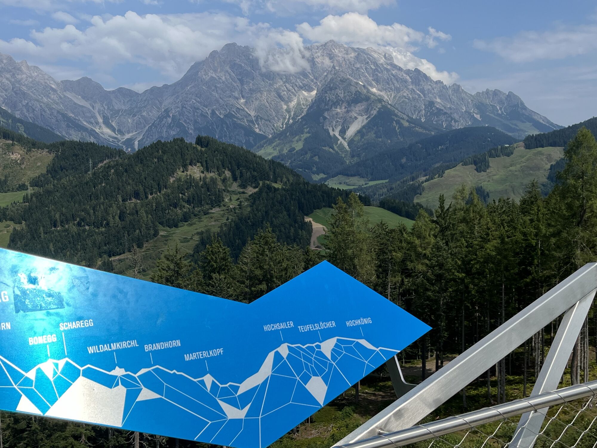
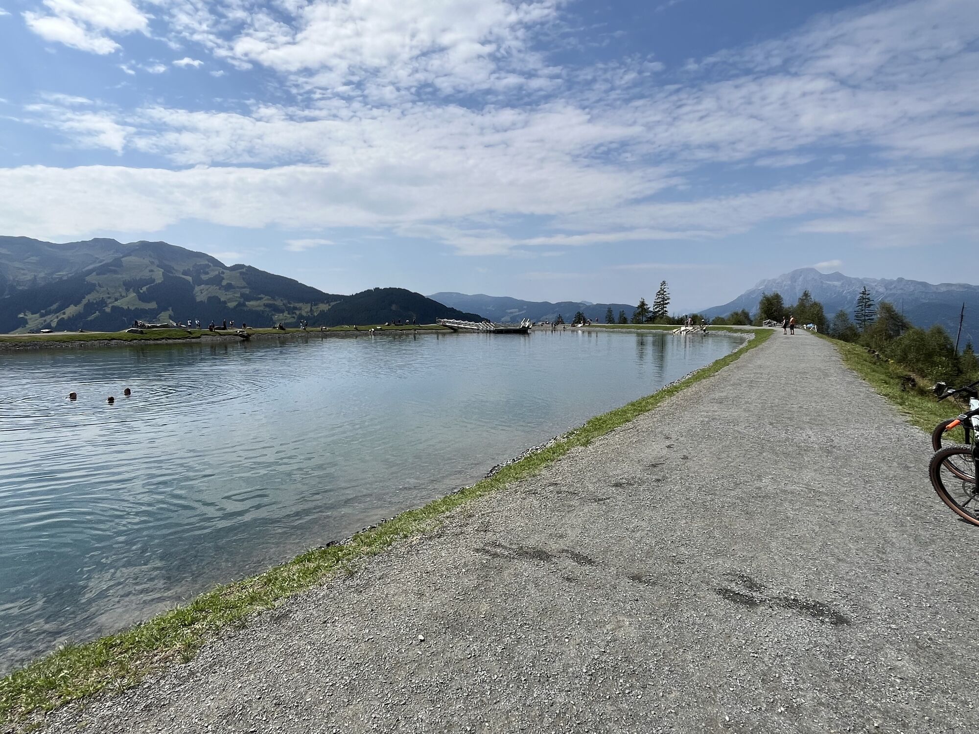
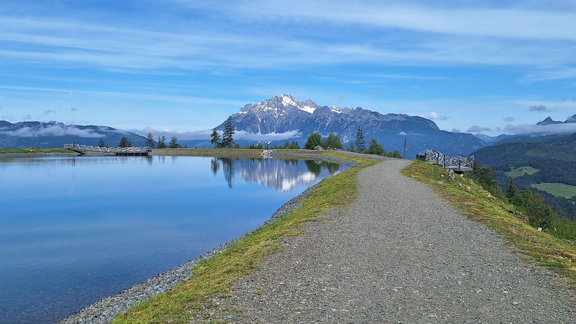
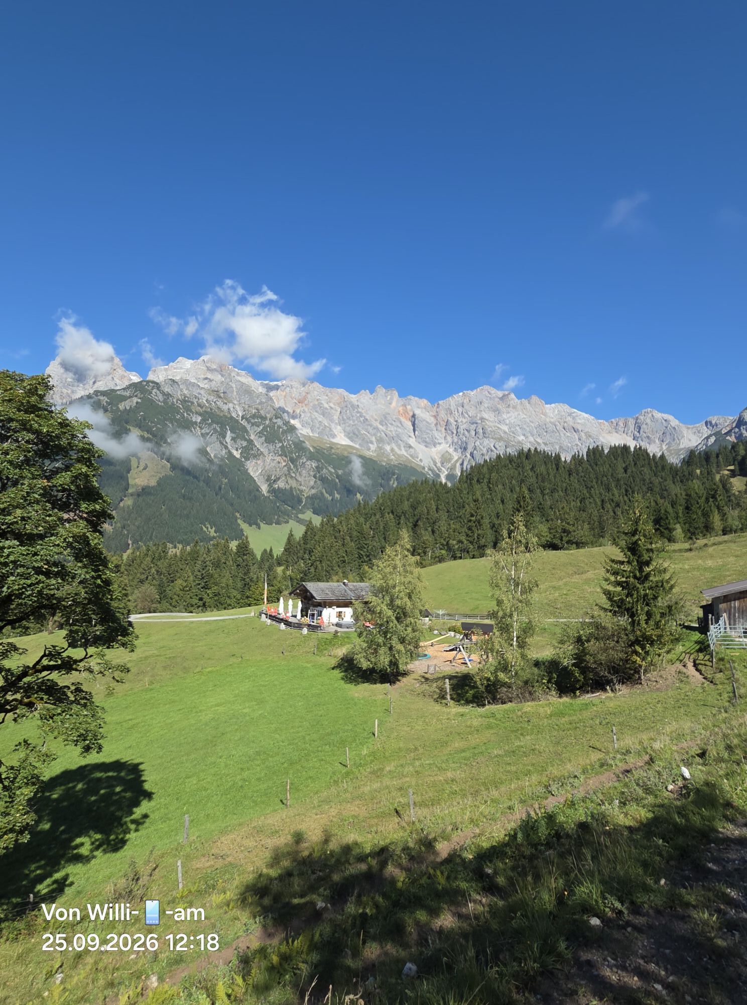
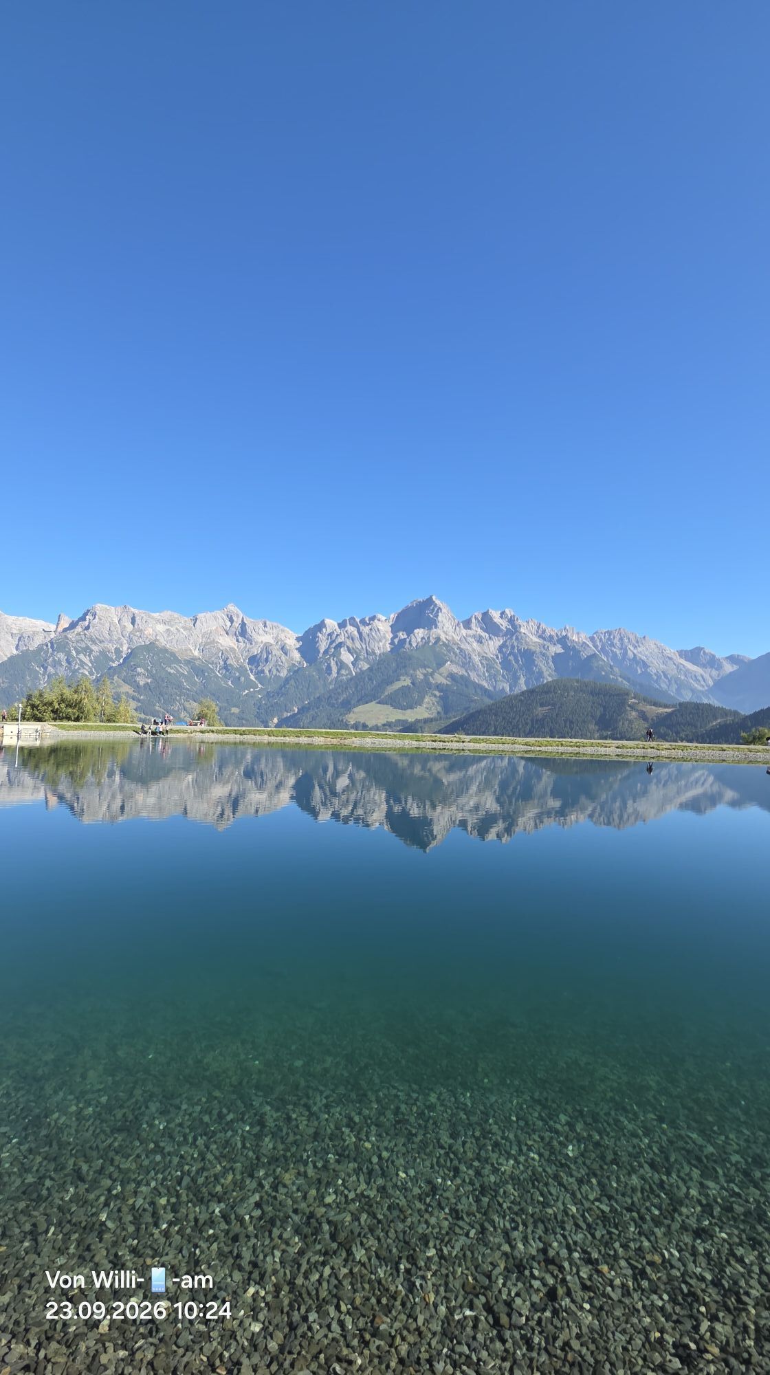
From here it continues towards Prinzensee, where a dreamlike panorama awaits you. Then the Jufen Rosa Trail (easy gravel path) leads you to the Jufenalm.
Via the winter toboggan run you go down into the valley. Arrived at the bottom, you briefly turn back towards Krallerwinkel, then right towards Primbach (observe the MA08 signage).
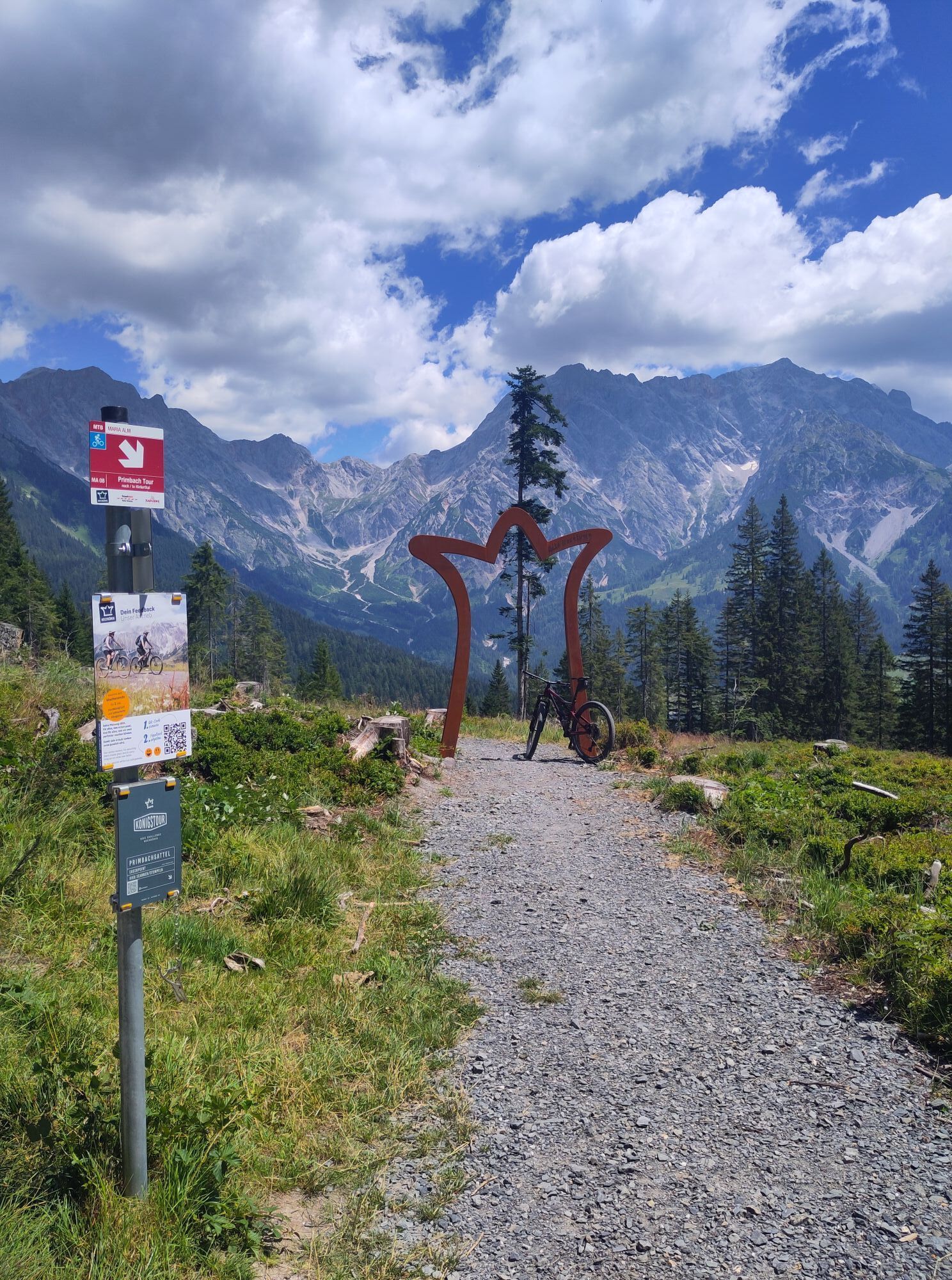
Now you follow a paved road and an easy forest road uphill to the Primbachsattel – alternatively you can also choose the twoway Wawi Trail. Checkpoint!
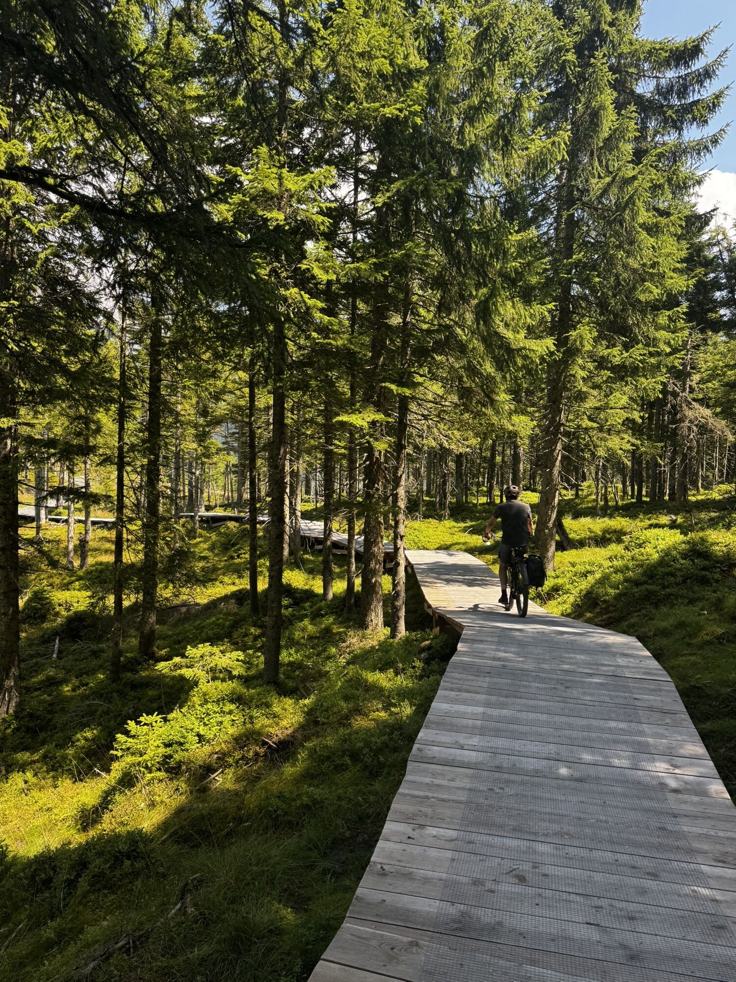
At the top, a small northshore element awaits before you ride down a winding gravel trail to Hinterthal.
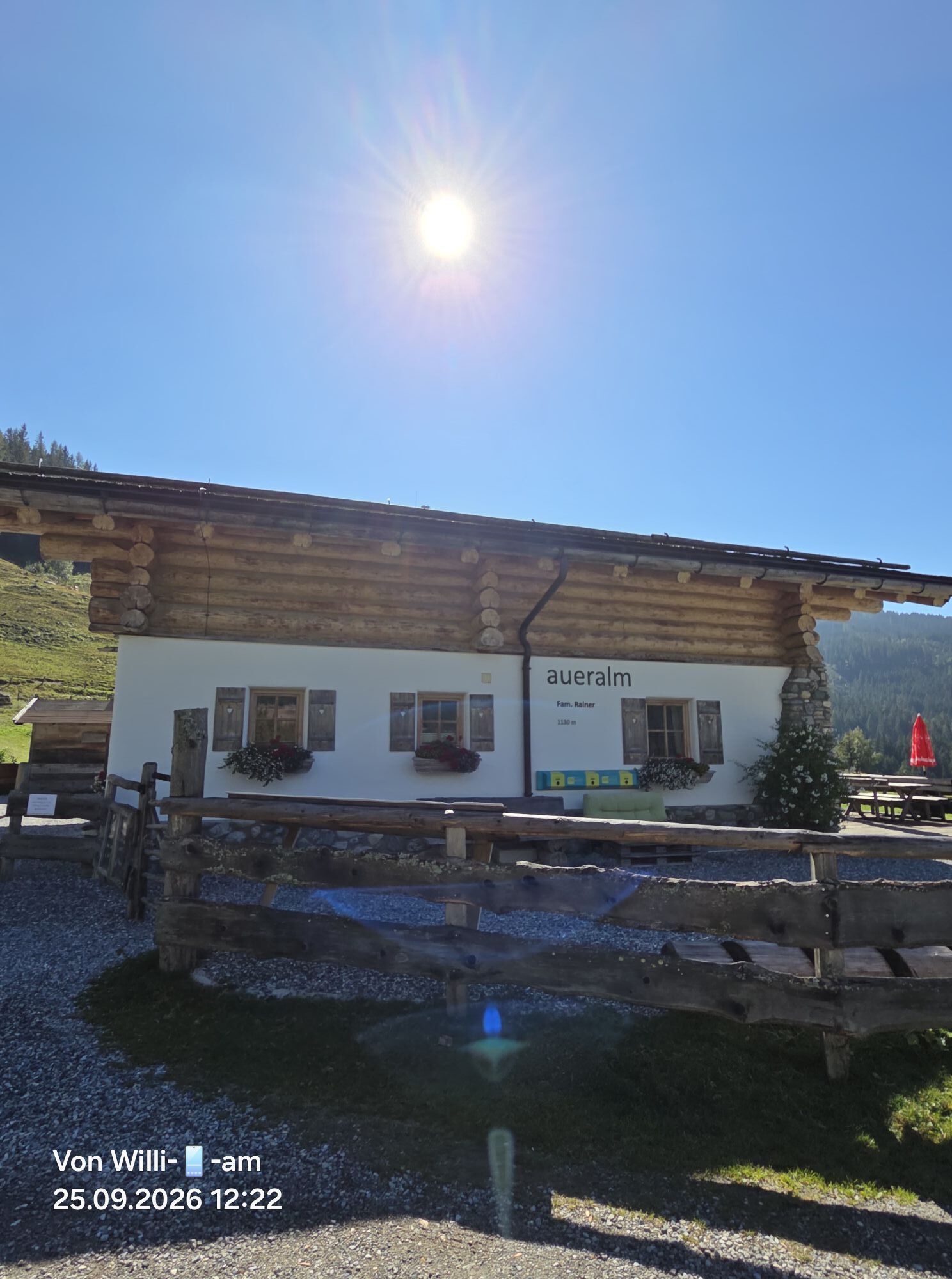
After the checkpoint in picturesque Hinterthal, it continues towards Aueralm. Then a creek crossing (about 25 m push section) awaits you.
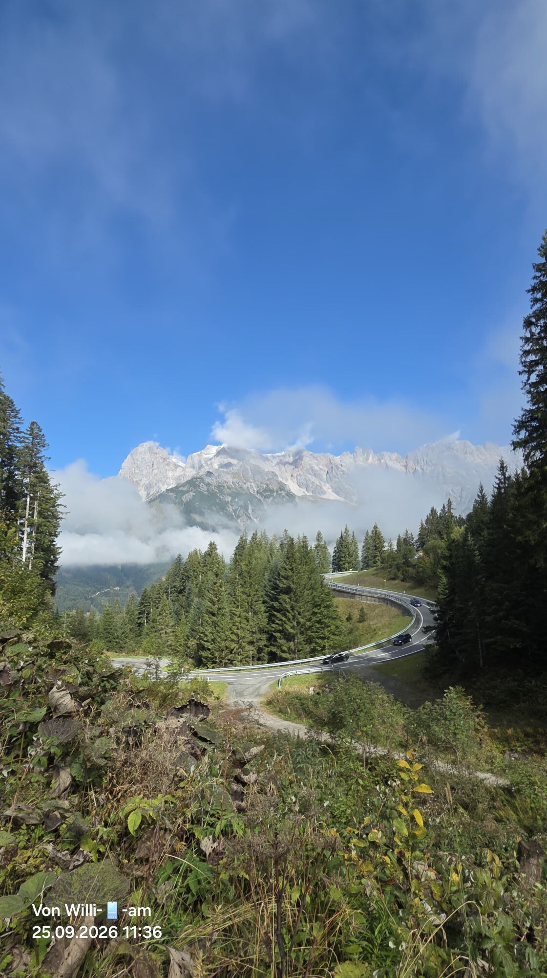
About 500 m later you reach the B164, which you follow to the Filzensattel. There you turn right onto the Grüneggweg. The route takes you past the Grüneggalm on a dreamlike descent to Dienten.
Day 1 done – checkpoint in Dienten!
Controlled bike equipment with helmet
Sunglasses, sun protection, rain protection
Drinks and a small snack
Necessary medications
First aid kit
Bike map
Stay on the paths! Ride only on marked trails to protect nature and property.
Respect pasture fences! All gates, barriers, and pasture gates must be closed after passing through.
Observe traffic regulations! Especially on road sections, be considerate and comply with traffic rules.
Overtake safely! Overtake other bikers or hikers only at walking pace and with sufficient distance.
Be considerate! Meet other nature users, farmers, forestry, and hunting personnel with respect.
Protect wildlife! Avoid noise and unnecessary disturbances, especially at dusk.
Do not leave any trash! Take your waste with you and keep nature clean!
Ride responsibly! Adjust your speed to the terrain, your skills, and weather conditions.
Check weather conditions! Inform yourself before the tour about current weather conditions at: www.zamg.at or www.uwz.at.
Important emergency numbers: Alpine emergency: 140 | International emergency: 112 | Rescue: 144
Arrival coming from Salzburg: Take the A10 motorway to the Bischofshofen exit, then take the B311 towards Bischofshofen. Follow the Hochkönig federal road/B164 to Mühlbach and further to Dienten. Arrival coming from Innsbruck/Kufstein: Take the Loferer Straße/B178 towards St. Johann i.T., then via the Hochkönig federal road/B164 via Saalfelden and Maria Alm to Dienten or to the Filzensattel. A valid vignette is required for using the Austrian motorway and expressway network. There is also an obligation to carry a first aid kit, warning triangle, and reflective vest. More information can be found at Asfinag.
ÖBB-Scotty: timetable information
Bus line 620: timetable information
Bus line 631: timetable information
Hiking bus: timetable information
Free parking lots at the entrance to Maria Alm
S2
More information about hikes and activities in the Hochkönig region:
For detailed information about hiking maps, the opening hours of mountain lifts as well as huts and alpine pastures in summer, we recommend you visit the service center on site. There you will receive not only the hiking map but also valuable tips on the best hiking routes and current conditions.
Opening hours of mountain lifts in summer: The mountain lifts offer various opening hours during the summer months, which can vary depending on the weather and season. Please inform yourself in advance about the current operating times.
Opening hours of huts & alpine pastures in summer: The huts and alpine pastures in the region are ideal resting places for hikers. Here too, the opening hours can vary depending on the season and day of the week. Let the friendly hosts advise you about the offers and specialties on site.
For more information, please visit our website: www.hochkoenig.at.
If you have questions or want to receive specific information, you can contact us at:
Email: region@hochkoenig.at
Phone: +43 (0)6584 20388
We look forward to helping you and wish you lots of fun exploring the wonderful hiking region Hochkönig!


Kamery internetowe z trasy
-
Maria Alm - Hochmaisbahn
-
Aberg - Bergstation
-
Maria Alm - Aberg
-
Saalfelden
-
Dienten - Übergossene Alm Resort
-
Dienten - Almsee
-
Dienten - Übergossene Alm Resort
-
Natrun Bergstation
-
Dienten, Bürglalmabfahrt
-
Hoferbichlgut
-
Hinterreit - Saalfelden
-
Saalfelden - Obermühlhof
-
Maria Alm - "die Hochkönigin"
-
Bürglalmbahn Abfahrt
-
Hochkönigblick
-
Hinterthal - Urslauerhof
-
Hinterthal - Urslauerhof


Popularne wycieczki w okolicy
-
4,4
Maria Alm - Riemannhaus
Wędrówka 3,99 km -
4,8
Königssee - Kärlinger-Haus
Wędrówka 10,1 km -
4,9
Summit stormer route Lauskopf
ciężkiWędrówka 8,16 km -
4,8
Highlight Kitzlochklamm Classic round
średniWędrówka 2,02 km -
4,8
Summit storming route Taghaube
ciężkiWędrówka 6,25 km -
4,7
About the "Four Huts circular route" to Windraucheggalm
średniWędrówka 10,1 km -
3,7
Wanderung zur Ostpreußenhütte in Werfen (1.630 m)
średniWędrówka 11,2 km -
4,6
Panorama hike to the Hochkeil
średniWędrówka 6,07 km -
4,4
Schwalbenwand Nr. 80, 81, 82
średniWędrówka 13,0 km -
4,6
Peter-Wiechenthaler Hut
średniWędrówka 4,32 km
Wędrówki i tropienie


Nie przegap ofert i inspiracji na następne wakacje
Twój adres e-mail została dodana do listy mailingowej.





