


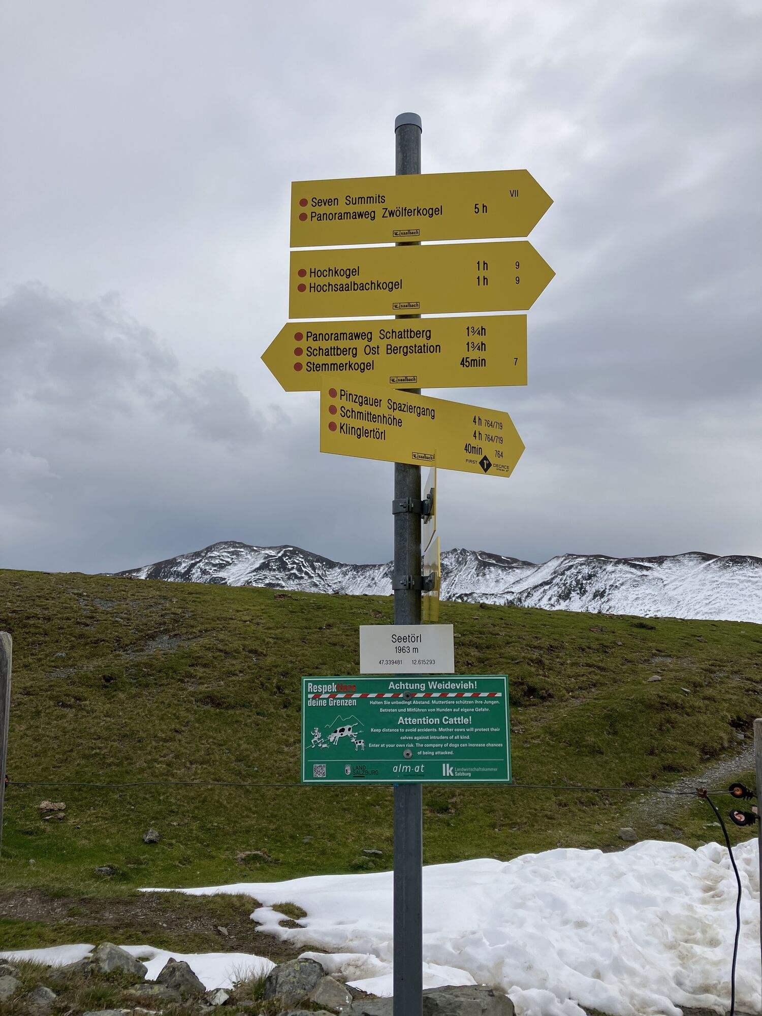
Klingler Törl - Hacklbergalm
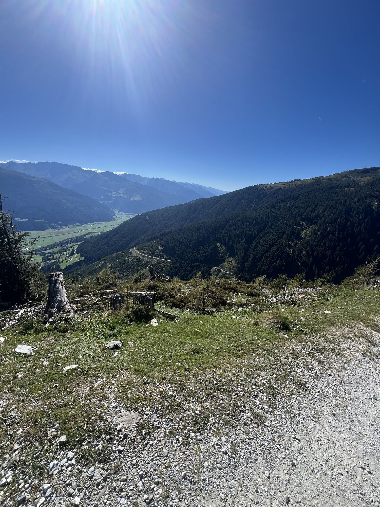


With a steep 1,300 meters of altitude difference, the Klingler Törl - Hacklbergalm route winds turn by turn through the picturesque sunny side of the Kitzbühel Alps, also called the Pinzgau grass mountains,...
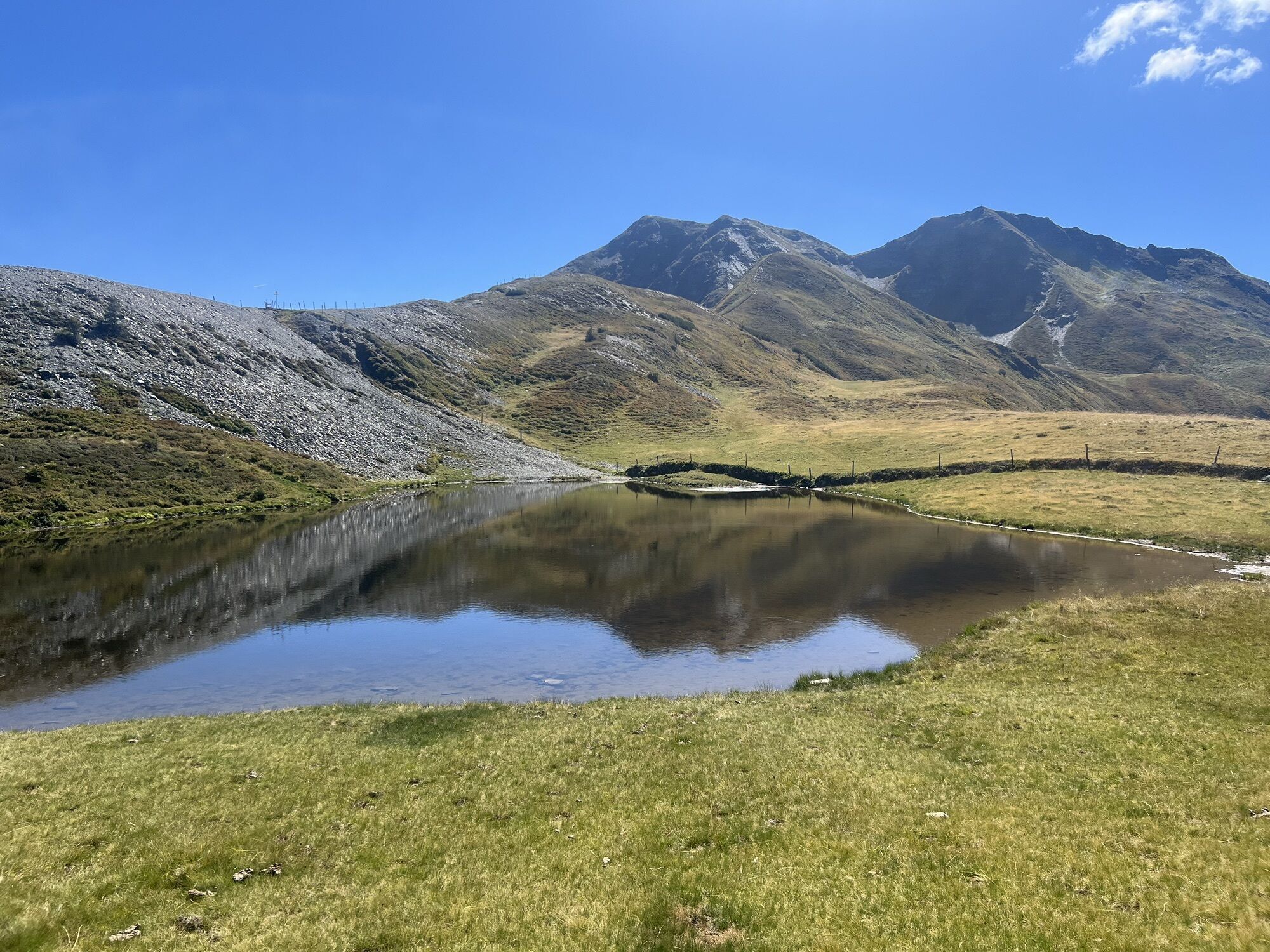
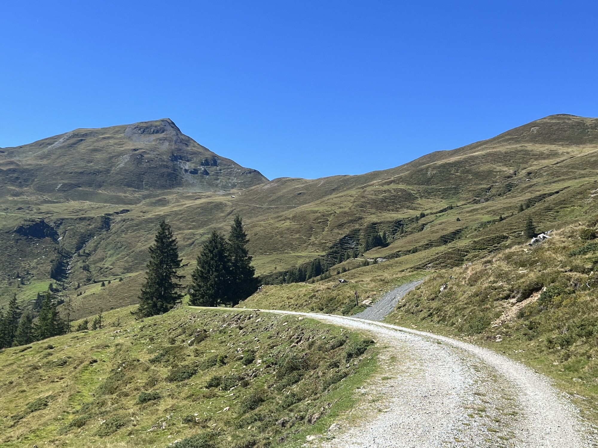
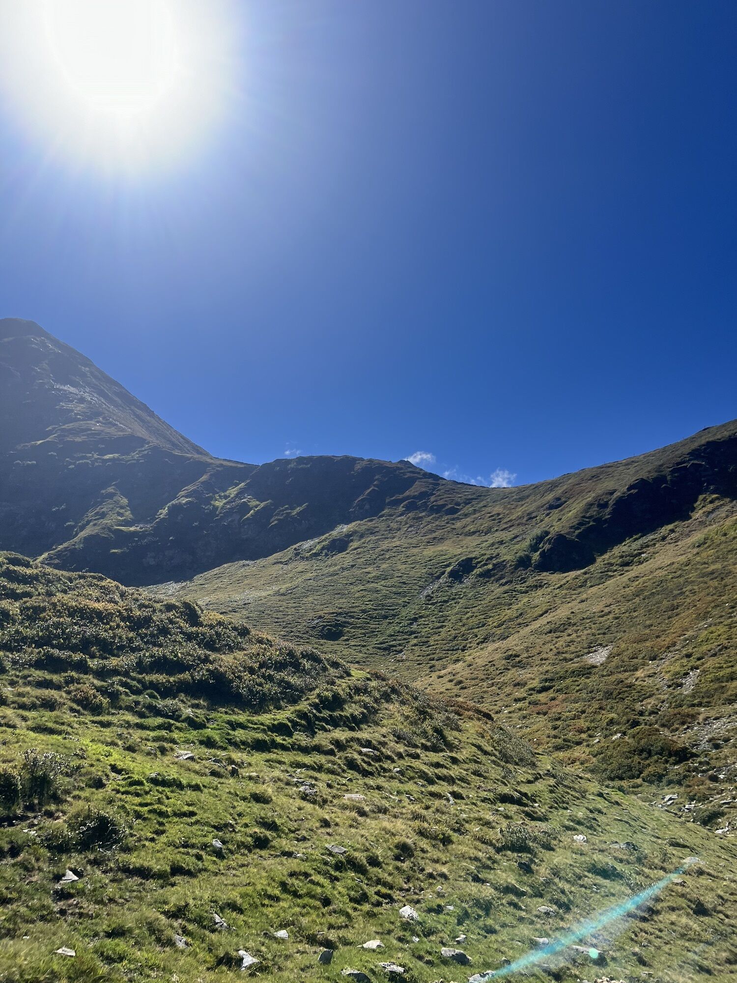
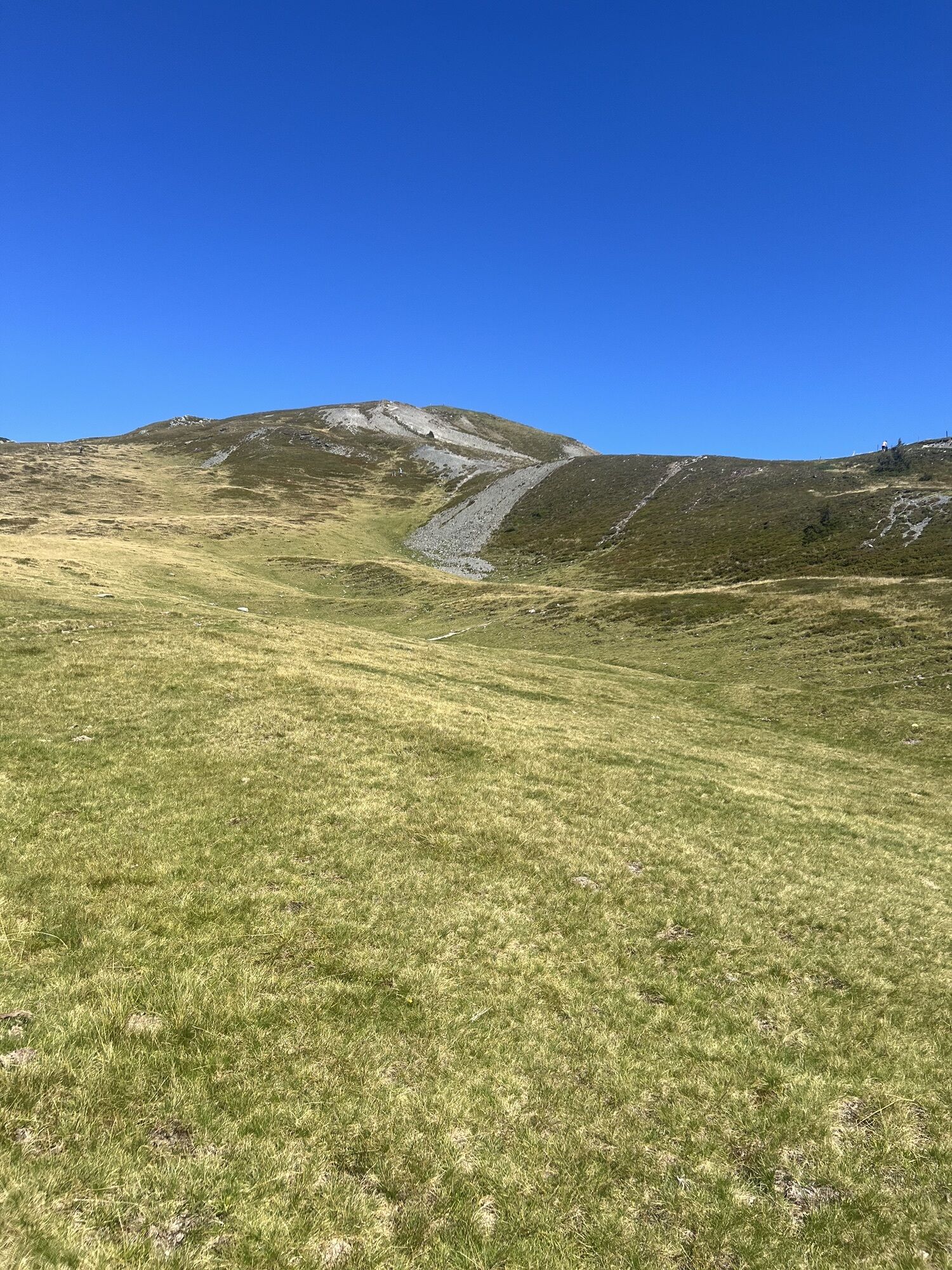
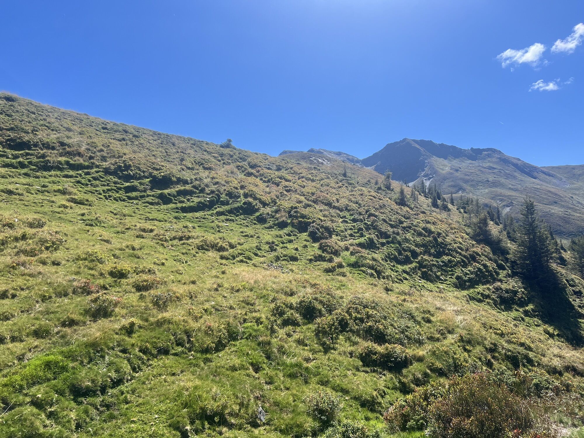
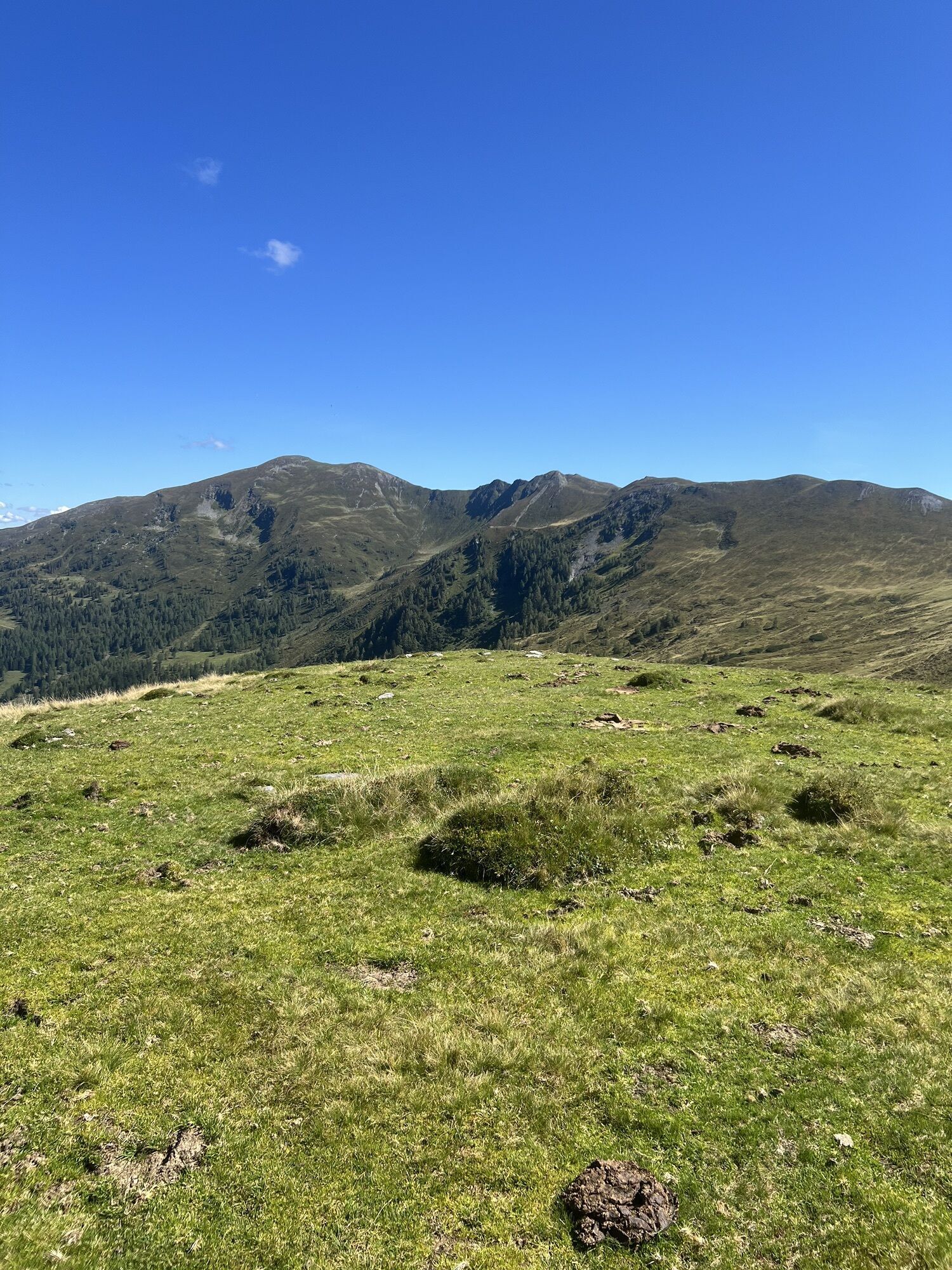
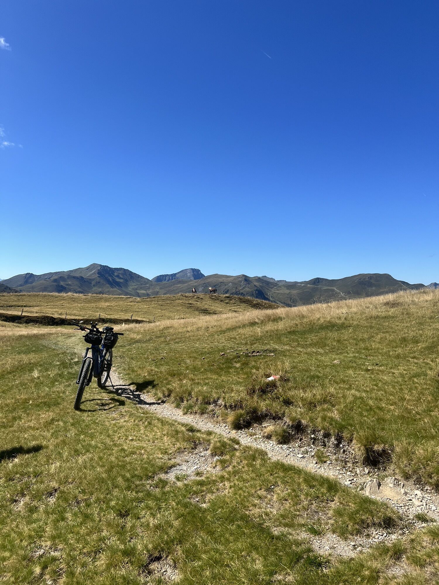
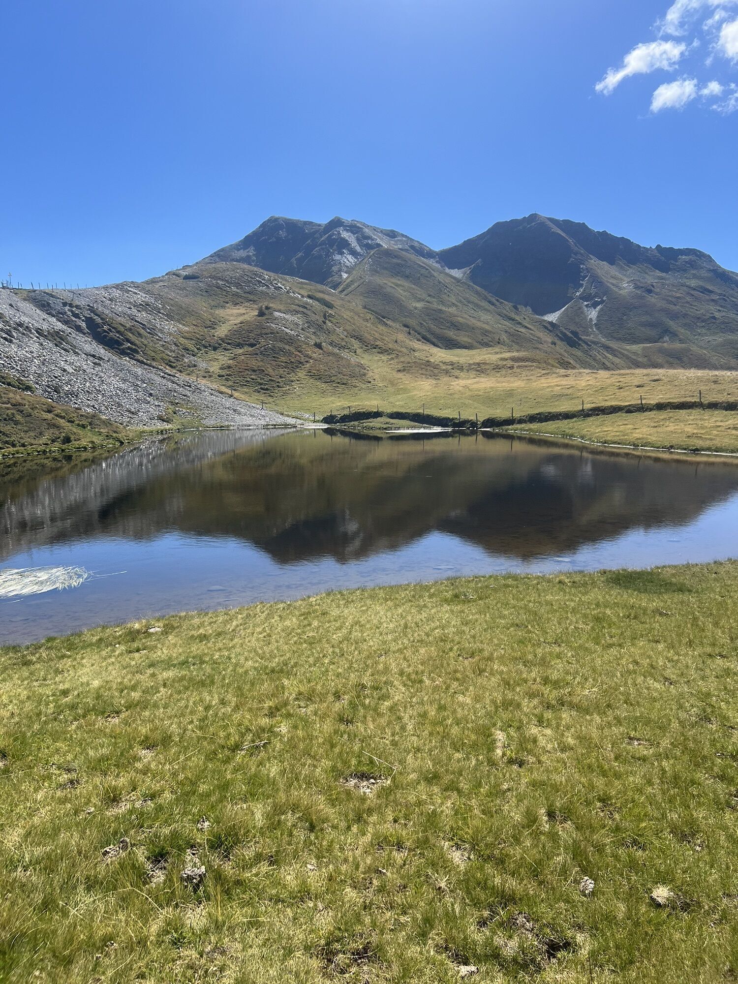
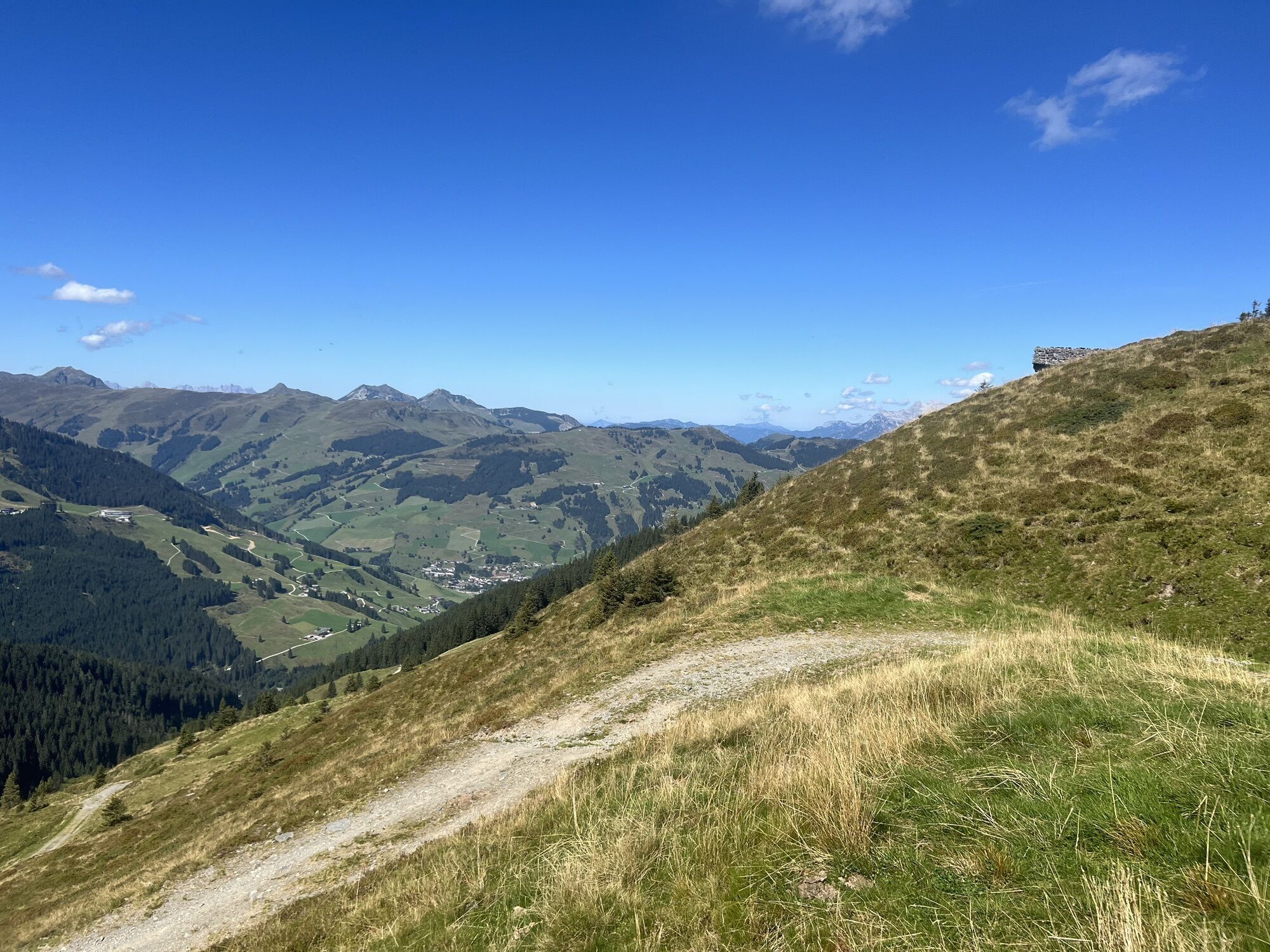
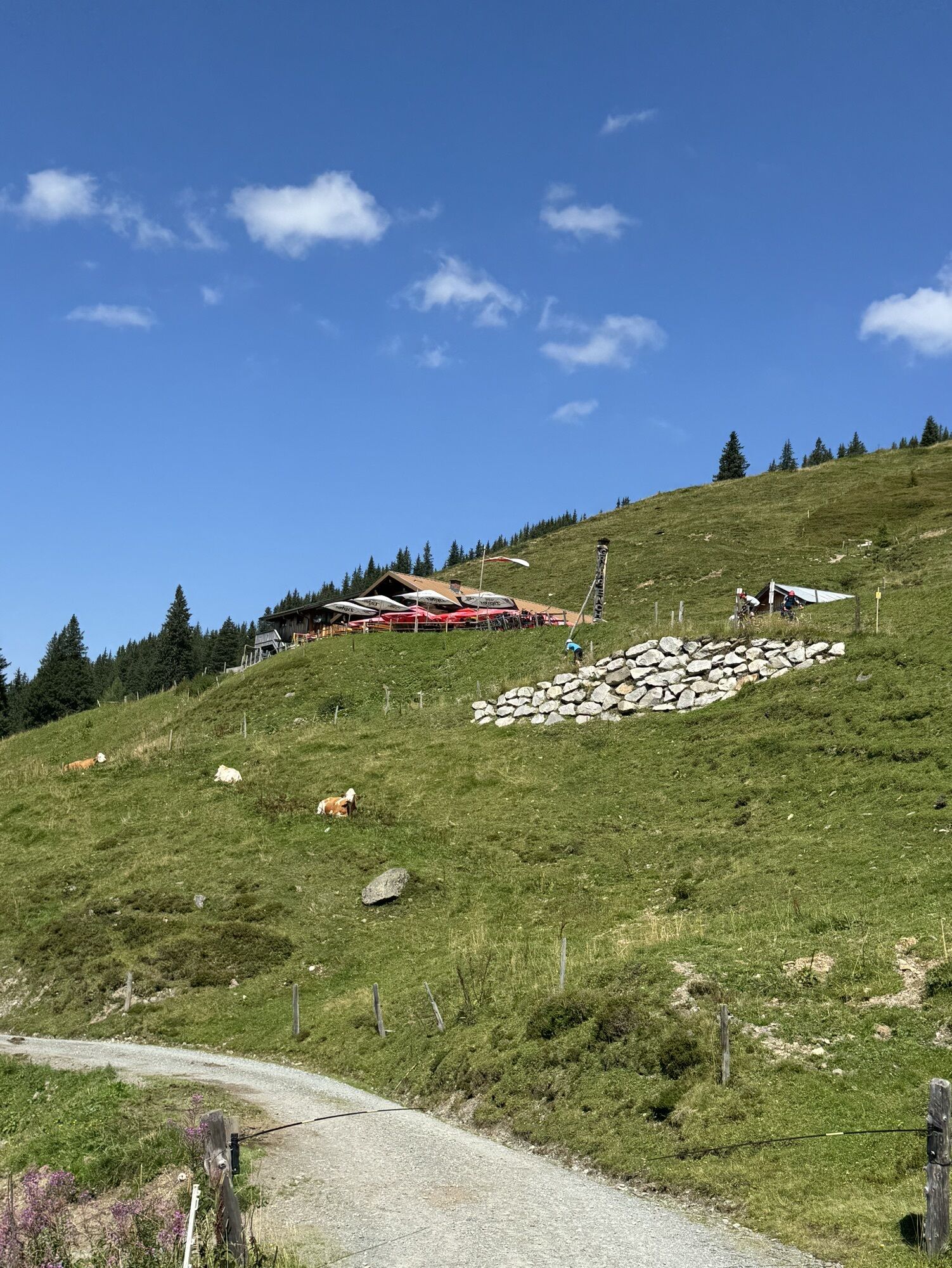
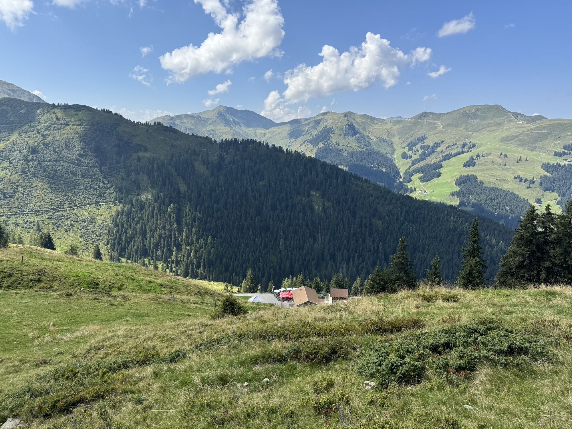
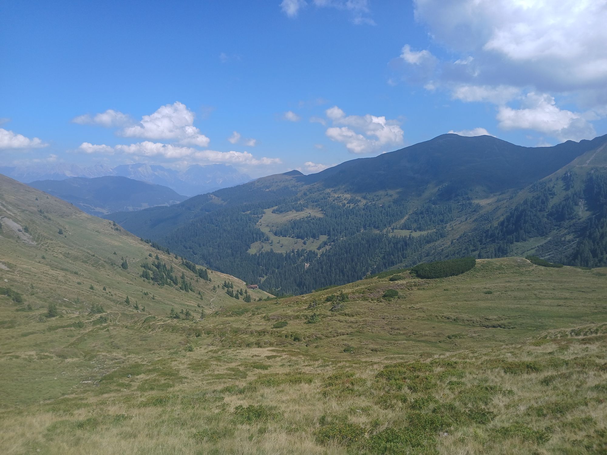
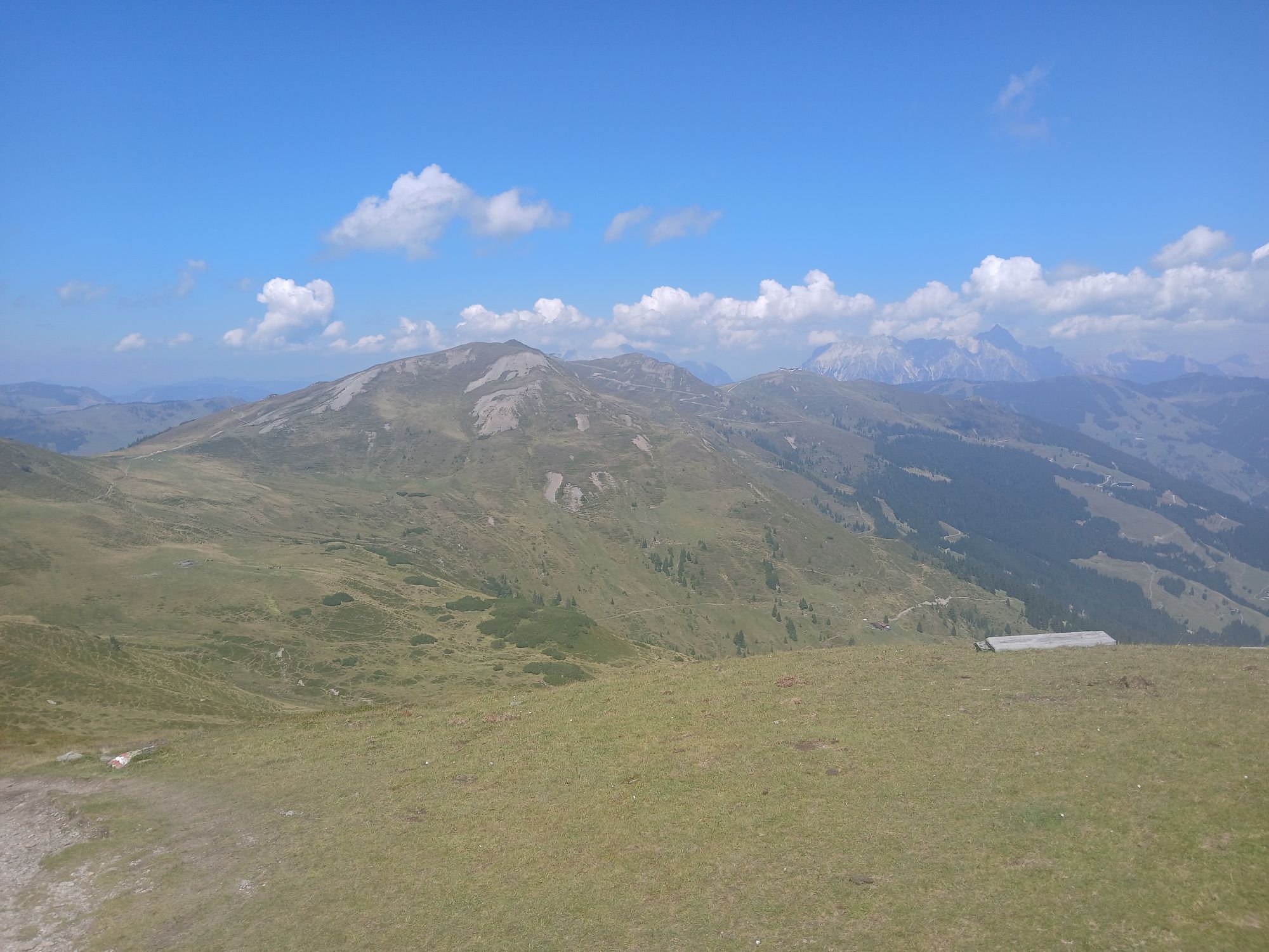
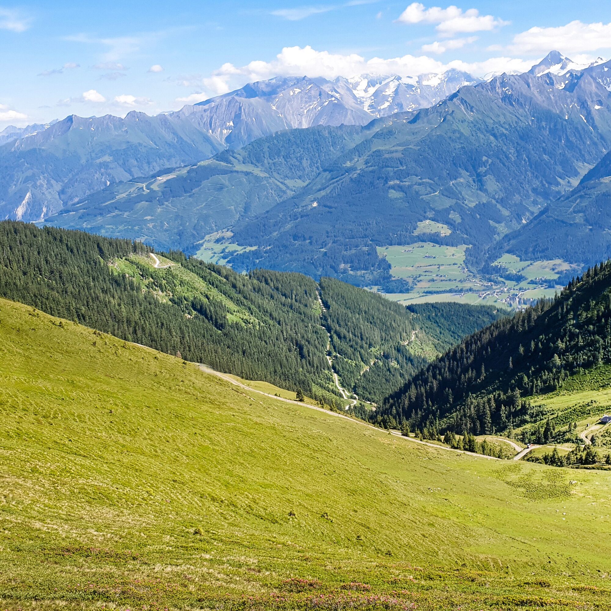
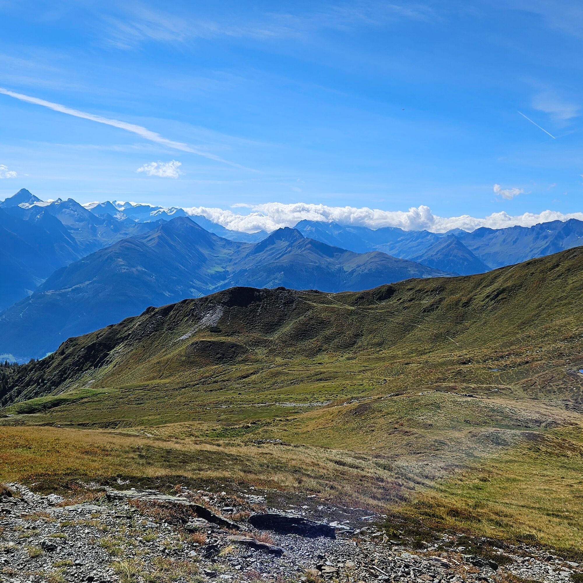
With a steep 1,300 meters of altitude difference, the Klingler Törl - Hacklbergalm route winds turn by turn through the picturesque sunny side of the Kitzbühel Alps, also called the Pinzgau grass mountains, up to Hacklbergalm in Hinterglemm. At 2,059 m, Klingler Törl offers a breathtaking 360° panoramic view from the Hohe Tauern, over the Salzach Valley to the Wilder Kaiser and the Stone Sea. The route meanders through farmed alpine meadows where you will also meet grazing animals and passes the idyllic Hacklberger Lakes. A special challenge is the section from the turnoff just before the Hochsonnberg Hut (not serviced) to Hacklbergalm.
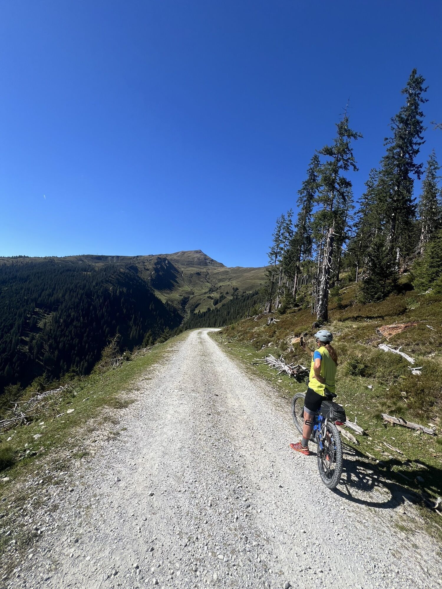
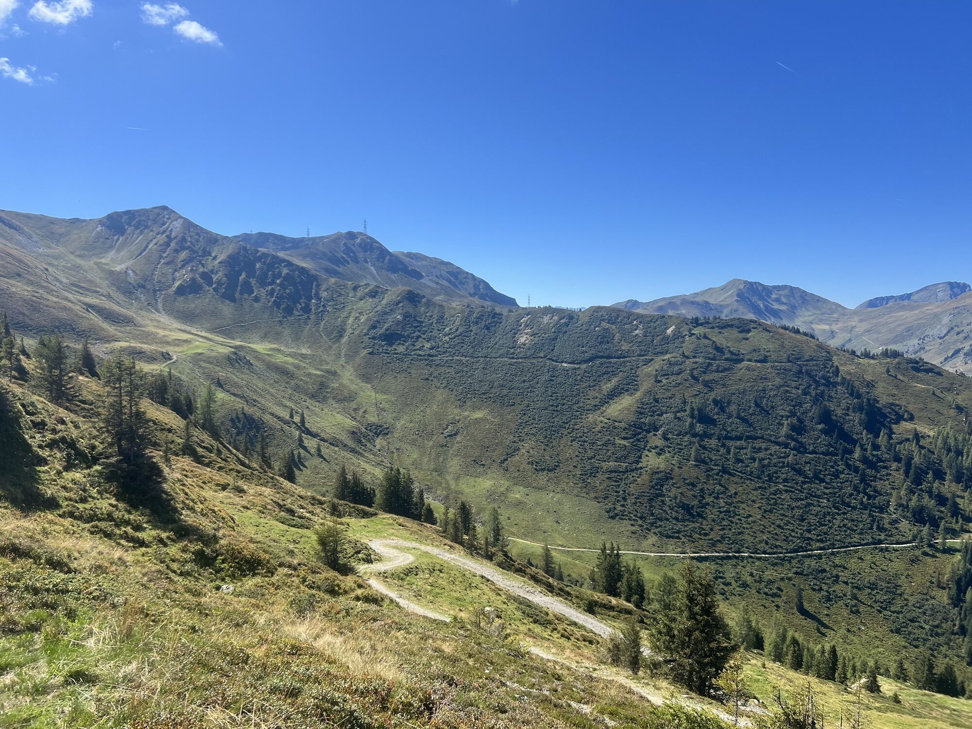
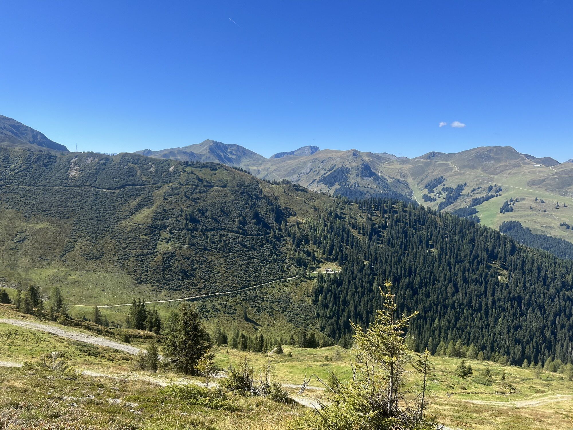
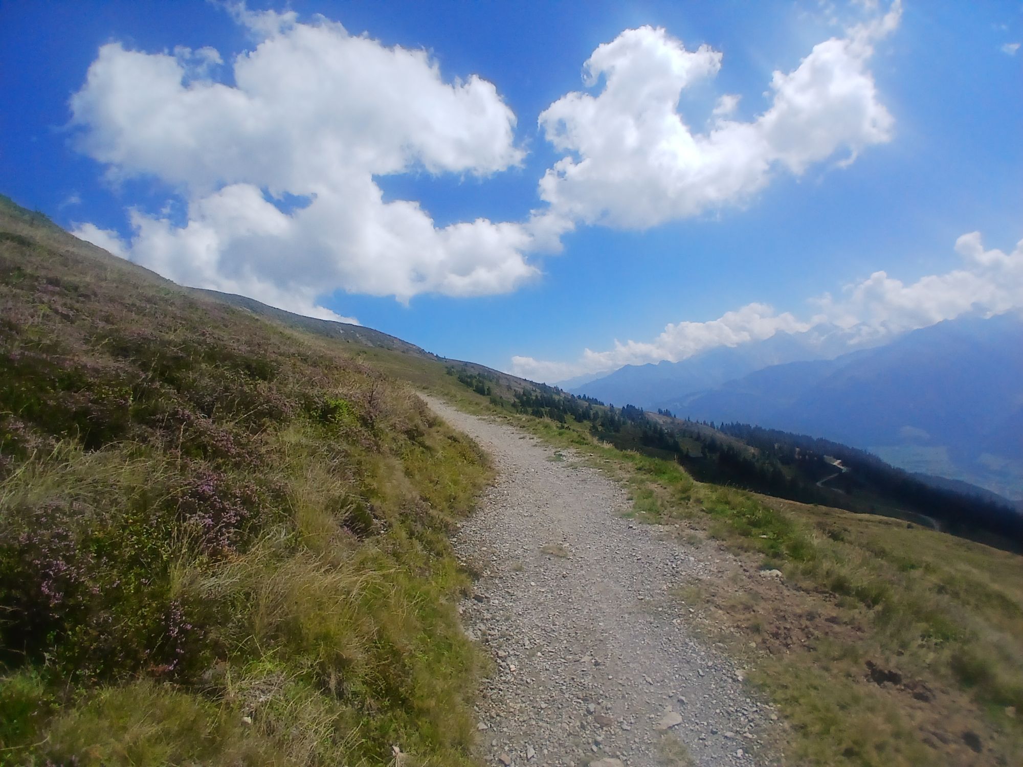
Start in the town center and follow the road north to the roundabout and continue uphill along Steindorfer Straße, Gaisbichl to Hochprack. At the first fork after the barrier, turn left and cycle along the forest road up to just before the Hochsonnberg Hut (not serviced). From here the challenging trail section to Klingler Törl begins. From there, it goes downhill to the Hacklberger Lakes – less experienced mountain bikers should rather push their bike – and then continue to the destination at Hacklbergalm.
Several options are available for the return trip:
back the same way, along the forest road to Hinterglemm, or take one of the trails to Hinterglemm - SH 35 Hacklberg Trail (flowy, natural surface, medium difficulty, start at the alm) | SH 90 Huberalm Trail (stone and root sections, medium difficulty, not regularly maintained, at your own risk, start approx. 100 m below the alm)From Hinterglemm, take the Glemmtal and Tauern cycle paths back to Niedernsill.
Not recommended for e-bikes – some push sections!
Use of the marked and released routes/trails is allowed from May 1st to November 15th and only at the following times:
May 1 to August 31 from 7:00 a.m. to 7:00 p.m. in September from 8:00 a.m. to 6:00 p.m. October 1 to November 15 from 9:00 a.m. to 5:00 p.m.Stay on the marked routes!
The joint code of conduct ensures that the forest and pasture areas will continue to serve as a unique place of relaxation, habitat and workplace for everyone in the future.
Your behavior influences public opinion and tolerance.
Niedernsill is also well connected to the surrounding towns by mountain bike via the Tauern cycle path.
The town center of Niedernsill is accessible by public transport – timetable information
Adequate parking is available in the town center.
Enjoy the panoramic view at the crossing at just over 2,000 m to recharge and treat yourself to local delicacies during a stop at Hacklbergalm.
Kamery internetowe z trasy


Popularne wycieczki w okolicy
- 4,8
Sigmund Thun Klamm, Klammsee, Bürgkogel
światłoWędrówka 4,56 km - 4,0
Maurerkogel (Top)
Wędrówka 10,5 km - 4,9
Hochsonnberg Runde
średniMountainbike 59,8 km - 4,5
Thumersbach, Runde um den Zeller See
światłoWędrówka 13,3 km - 4,4
Sigmund Thun Klamm
światłoWędrówka 3,10 km - 4,0
Berg der Sinne
światłoWędrówka 4,39 km - 5,0
Panorama route 3 peaks and 2 lakes
średniWędrówka 7,21 km - 5,0
Leo’s play hiking trail
światłoTrasa tematyczna 4,89 km - 4,2
Saalachtaler Höhenweg EAST (Asitz - Biberg)
średniWędrówka 13,1 km - 4,7
Tristkogel
ciężkiWędrówka 15,6 km
Wędrówki i tropienie


Nie przegap ofert i inspiracji na następne wakacje
Twój adres e-mail została dodana do listy mailingowej.