



🛣️ Bike tour to Maria Alm & Saalfelden

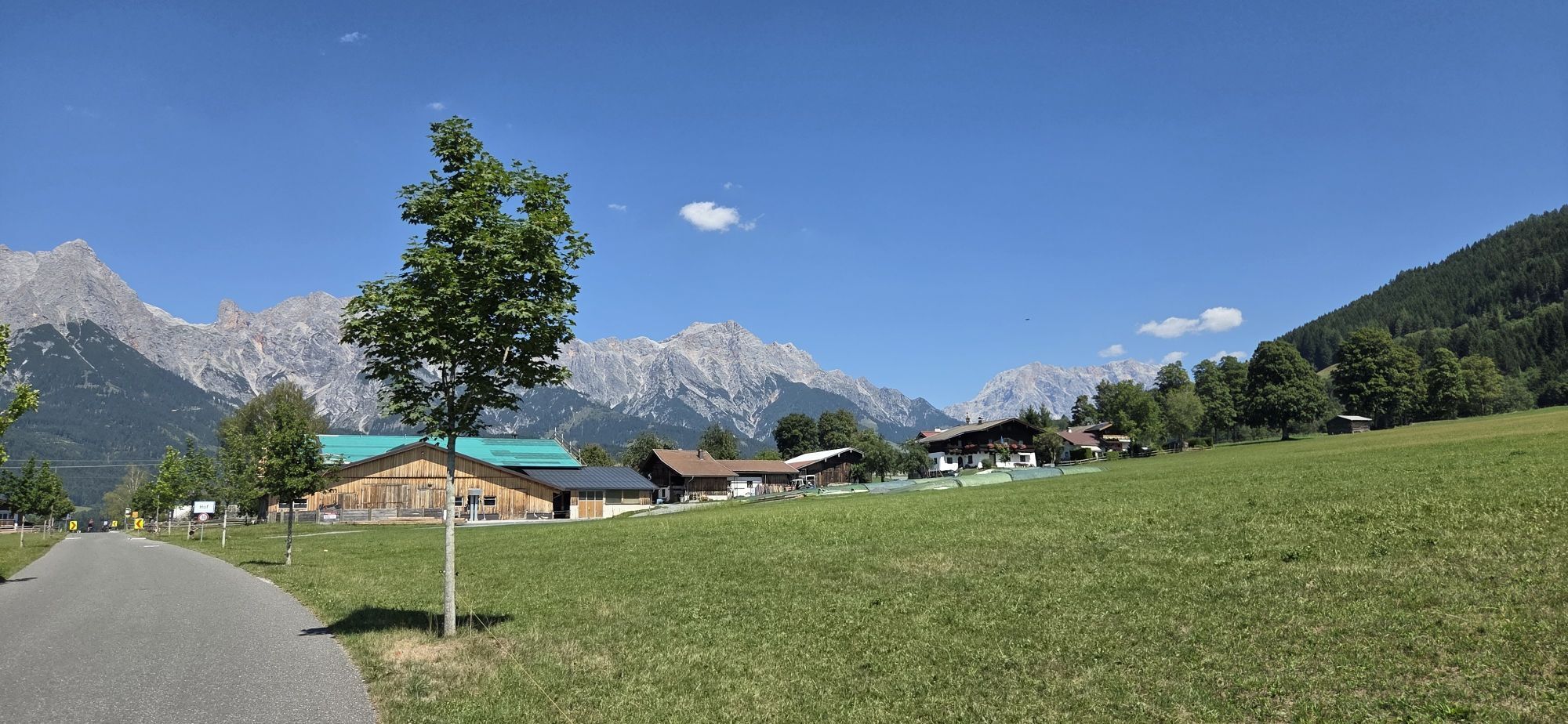
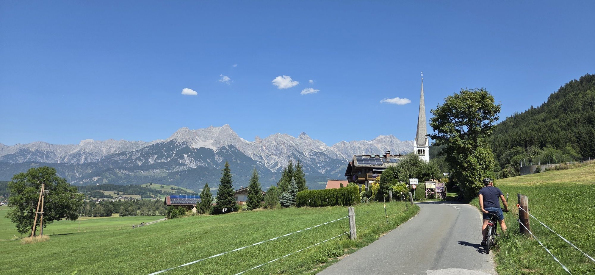
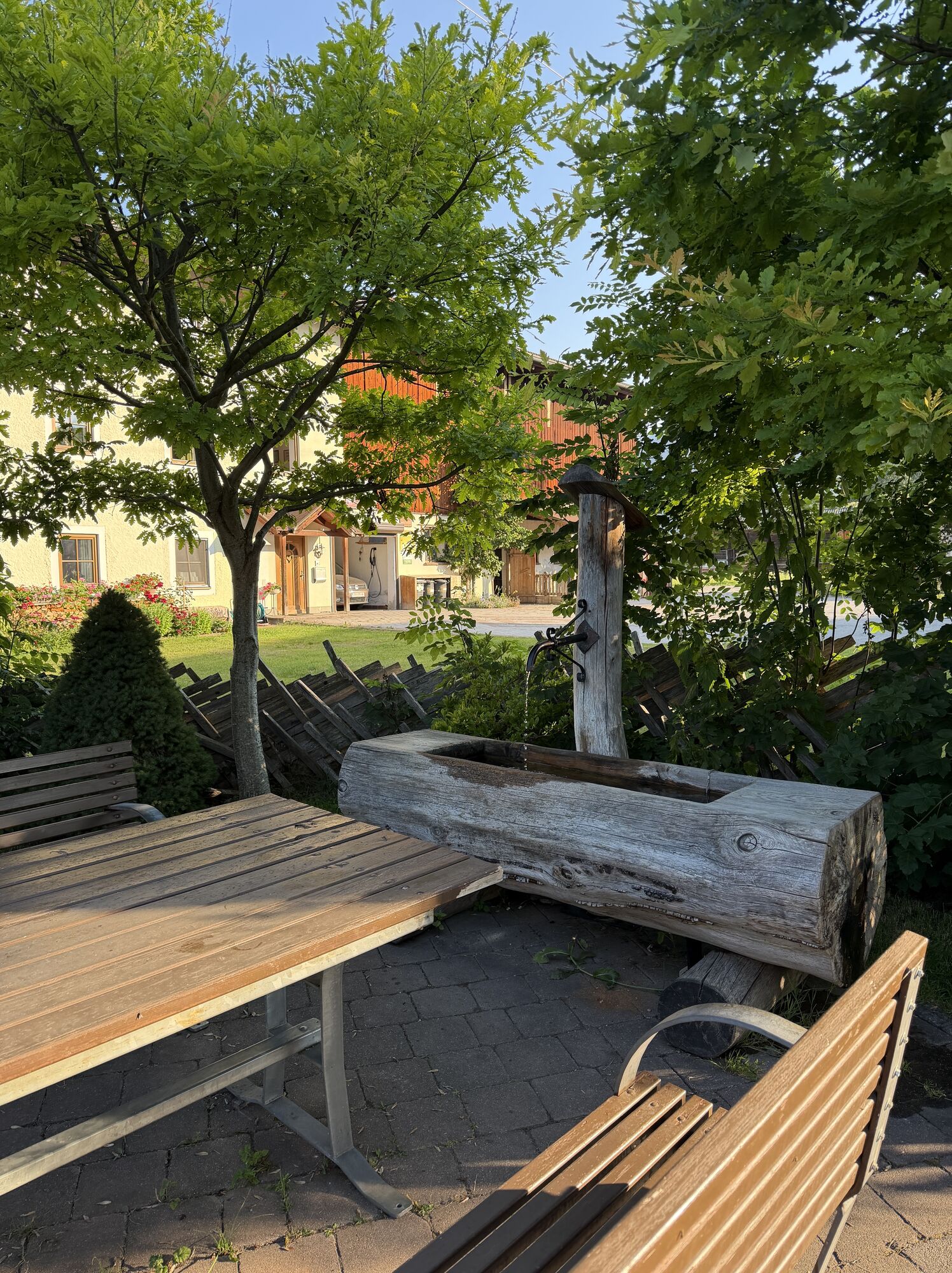
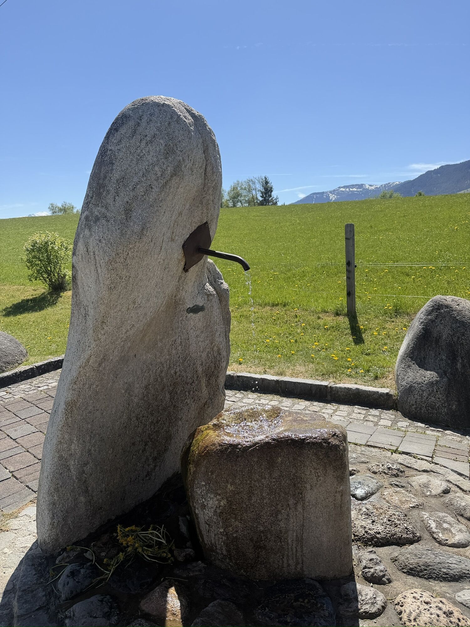
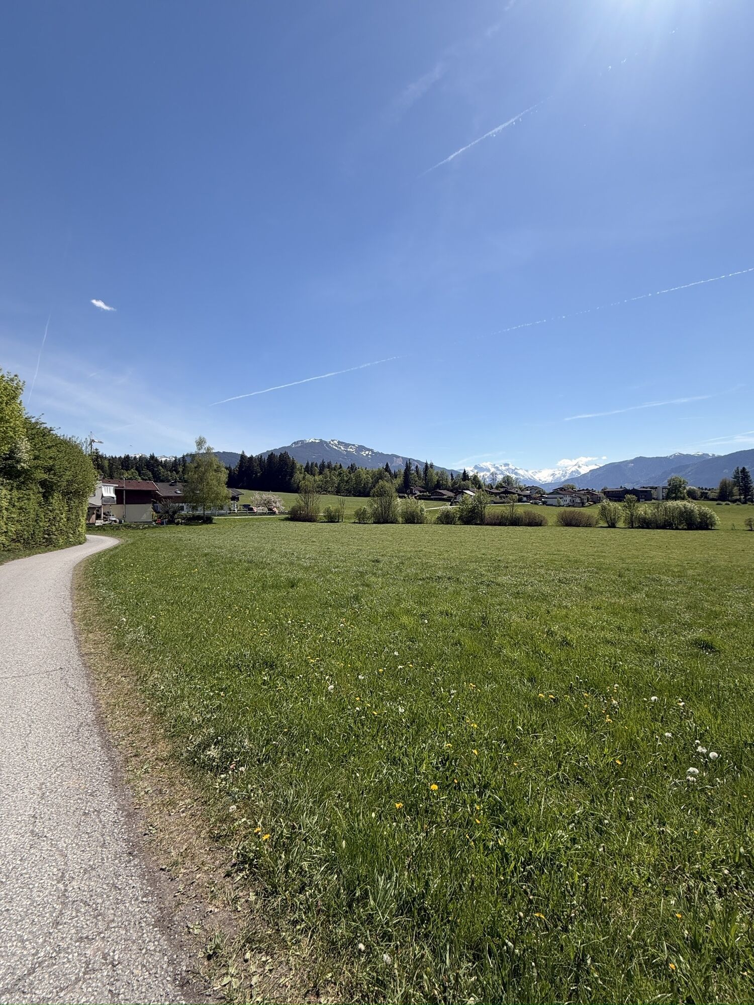
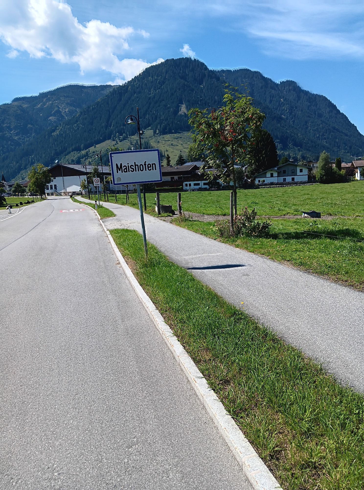
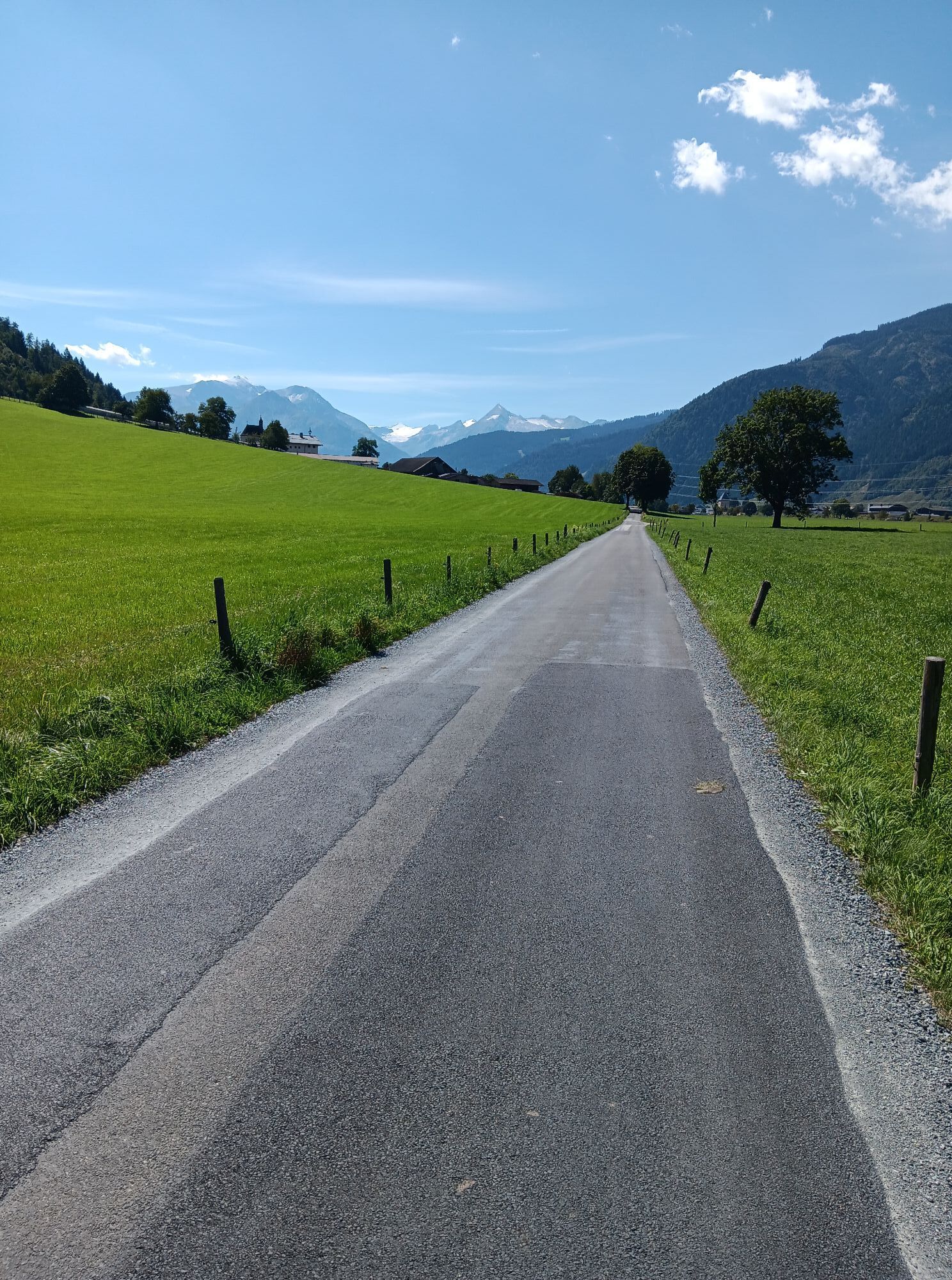
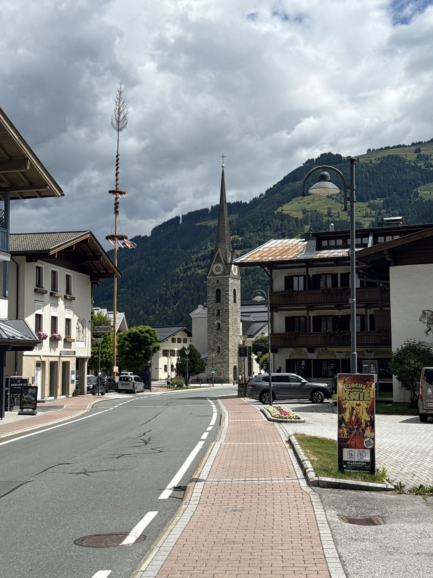


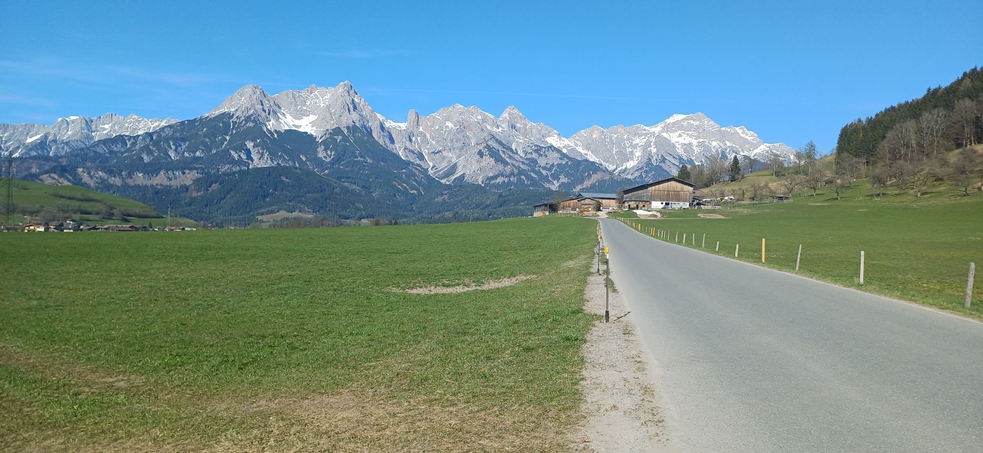
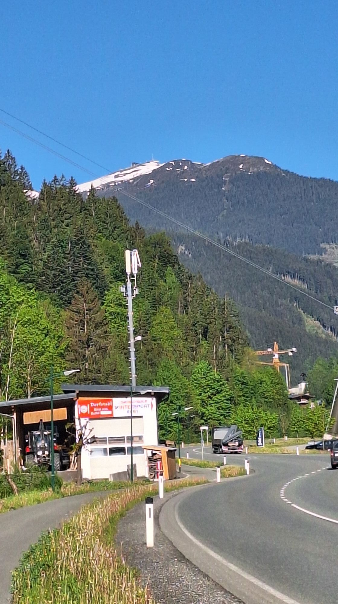
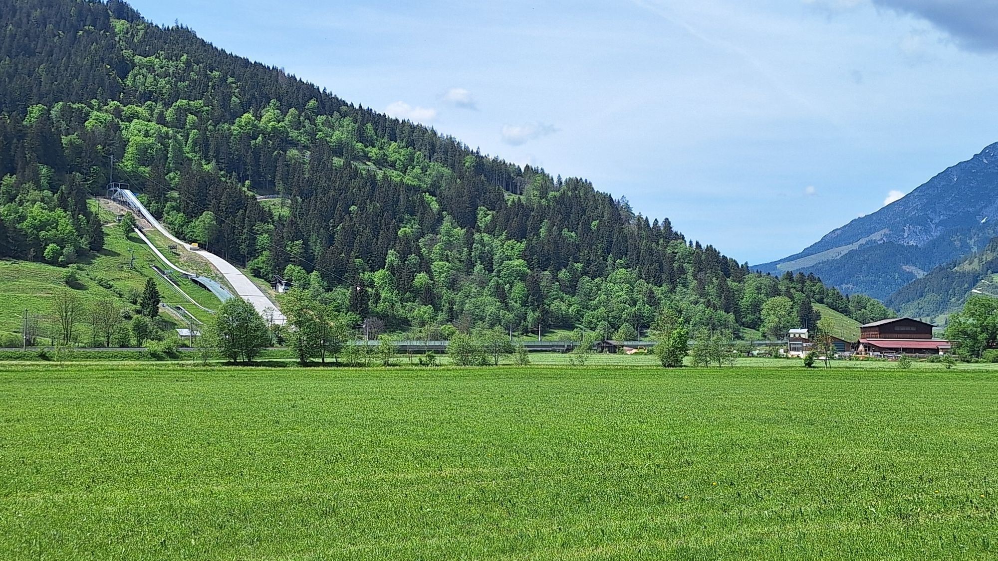
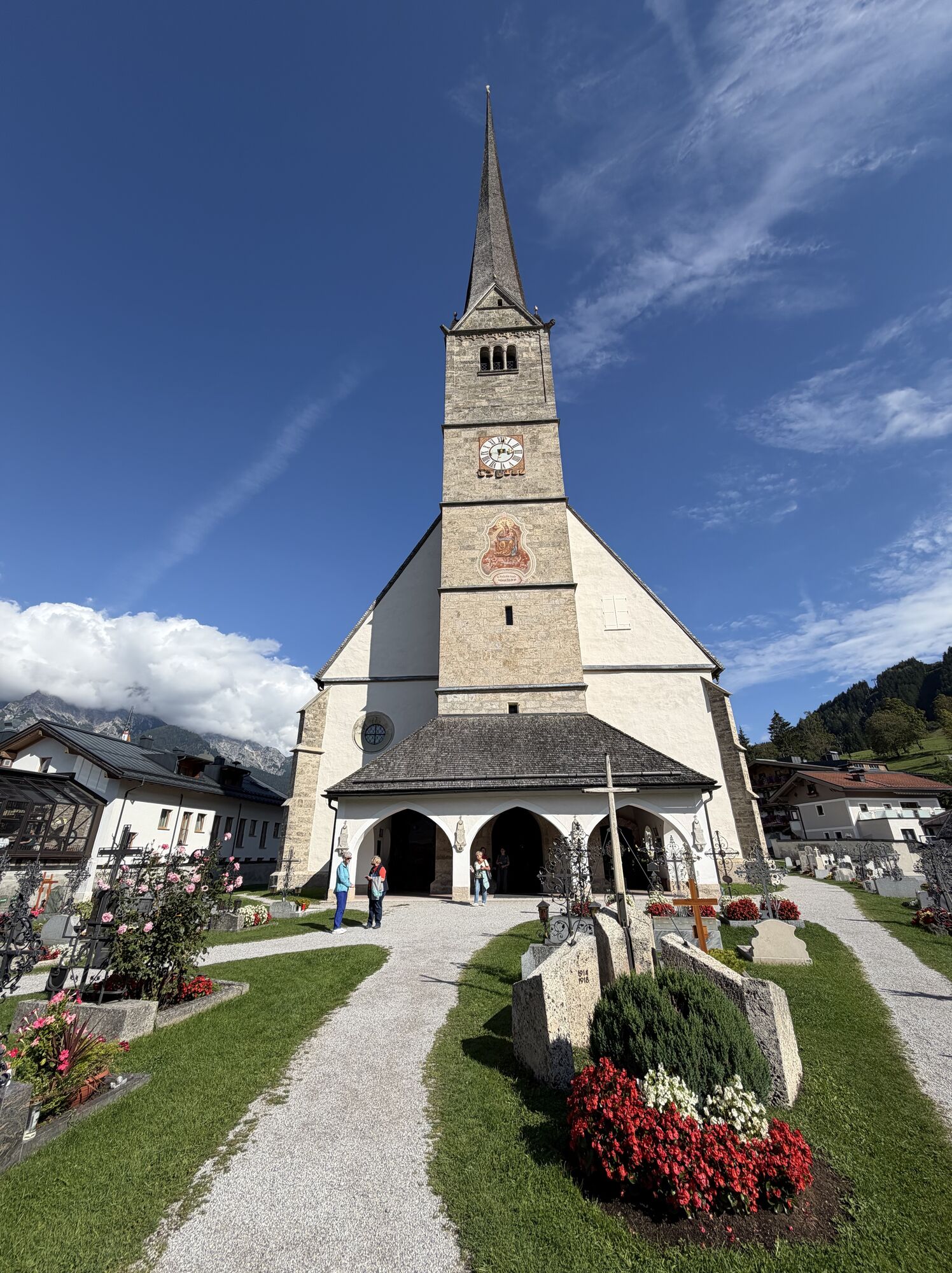
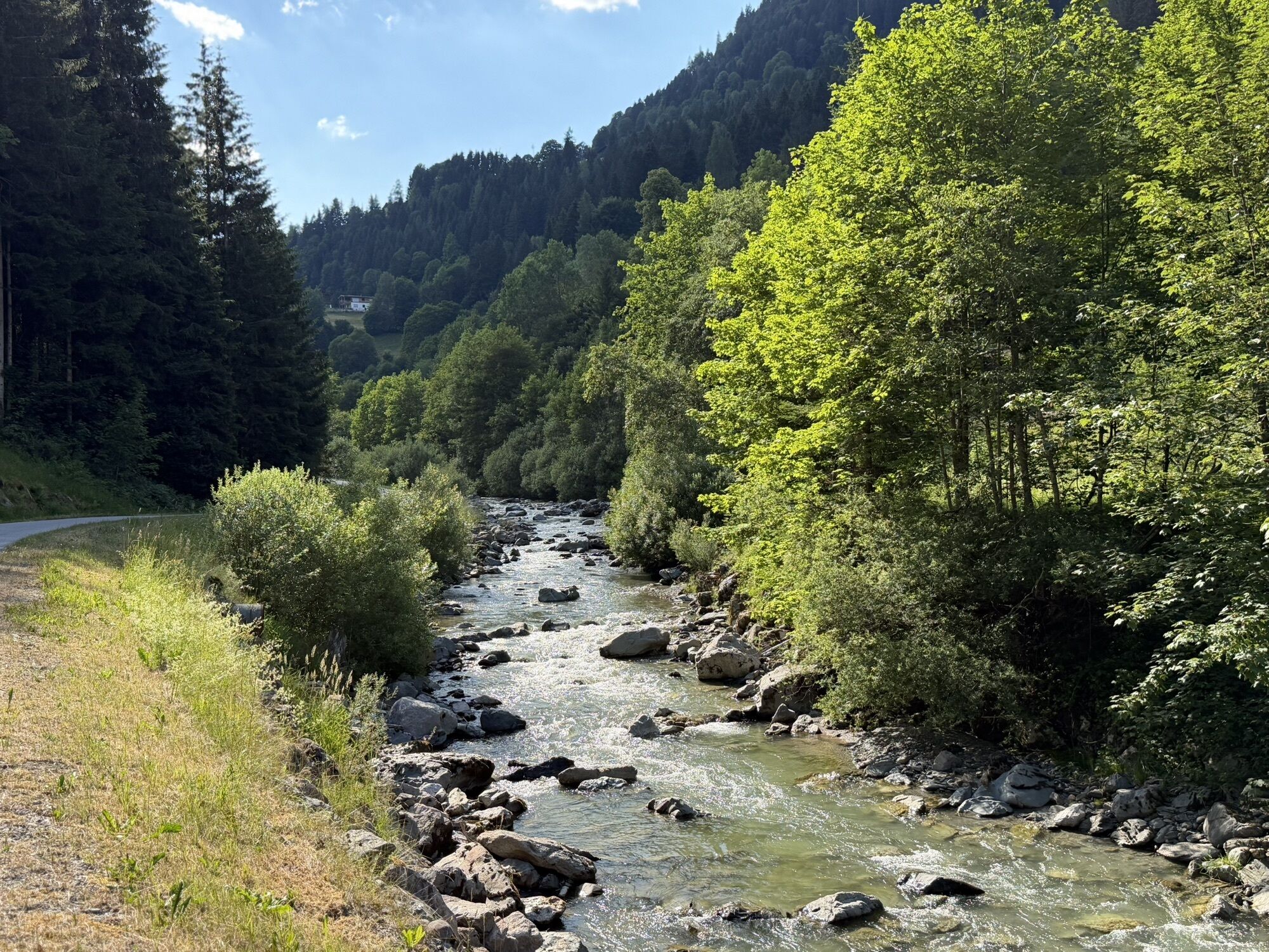
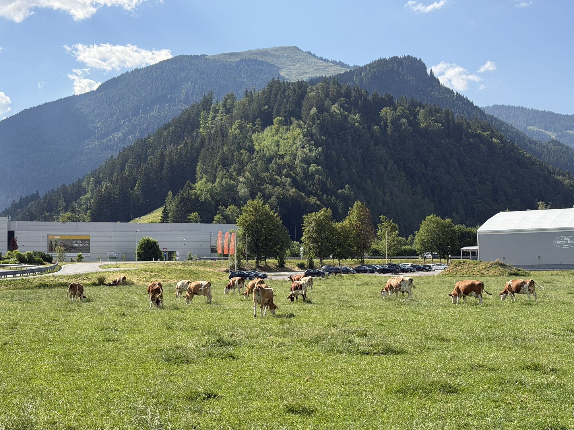
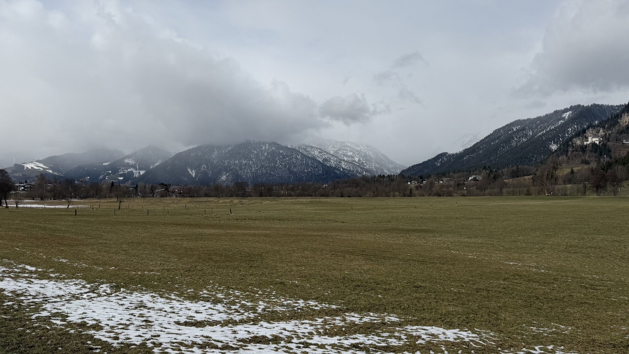
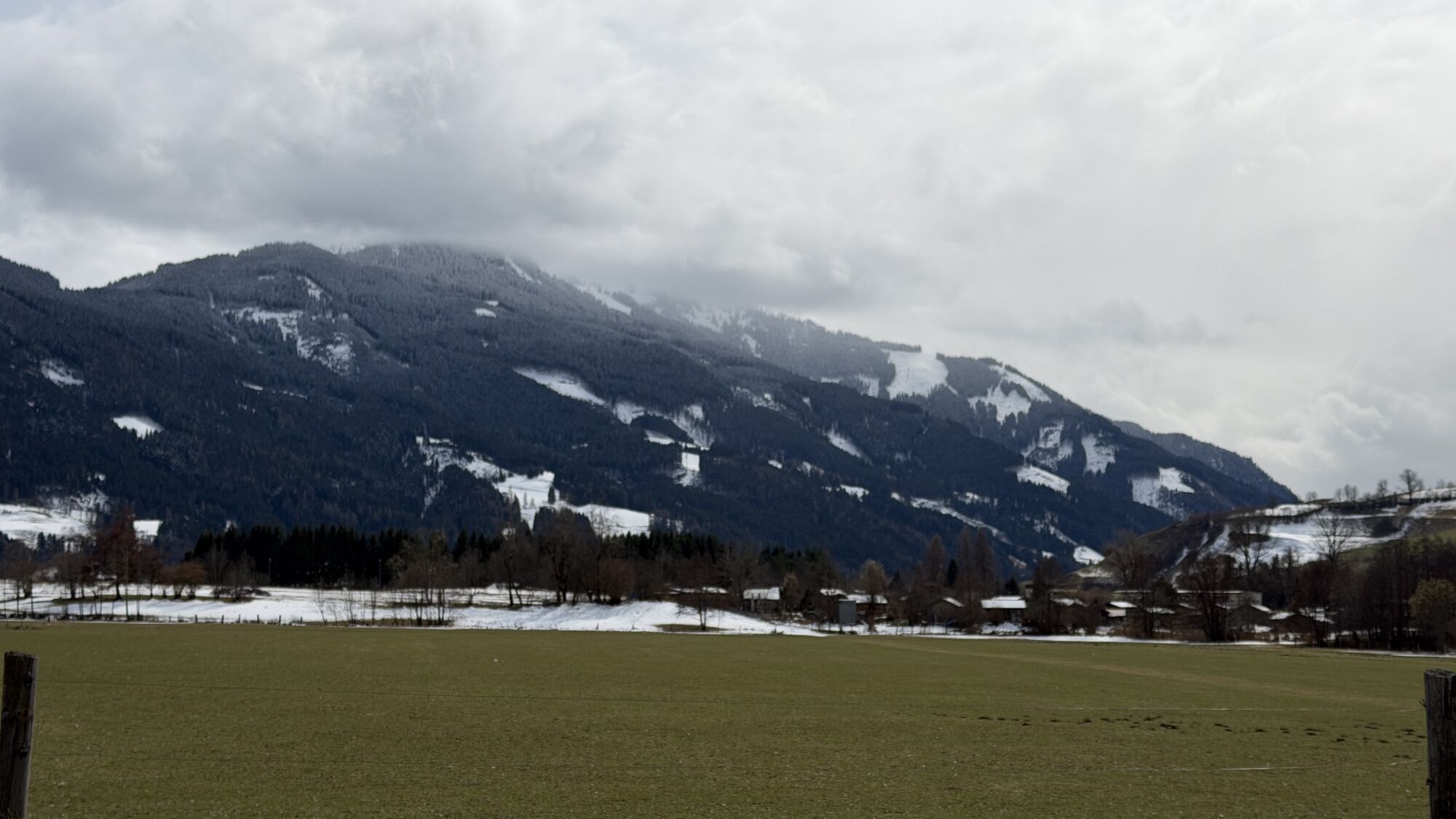
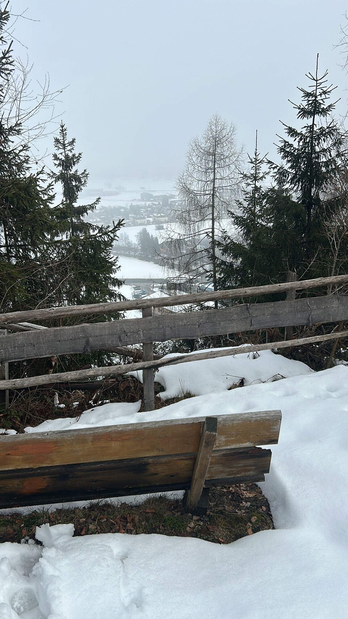

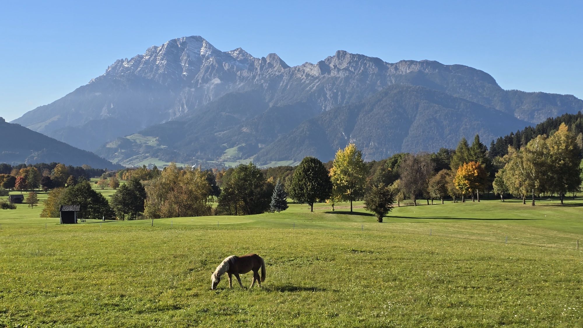
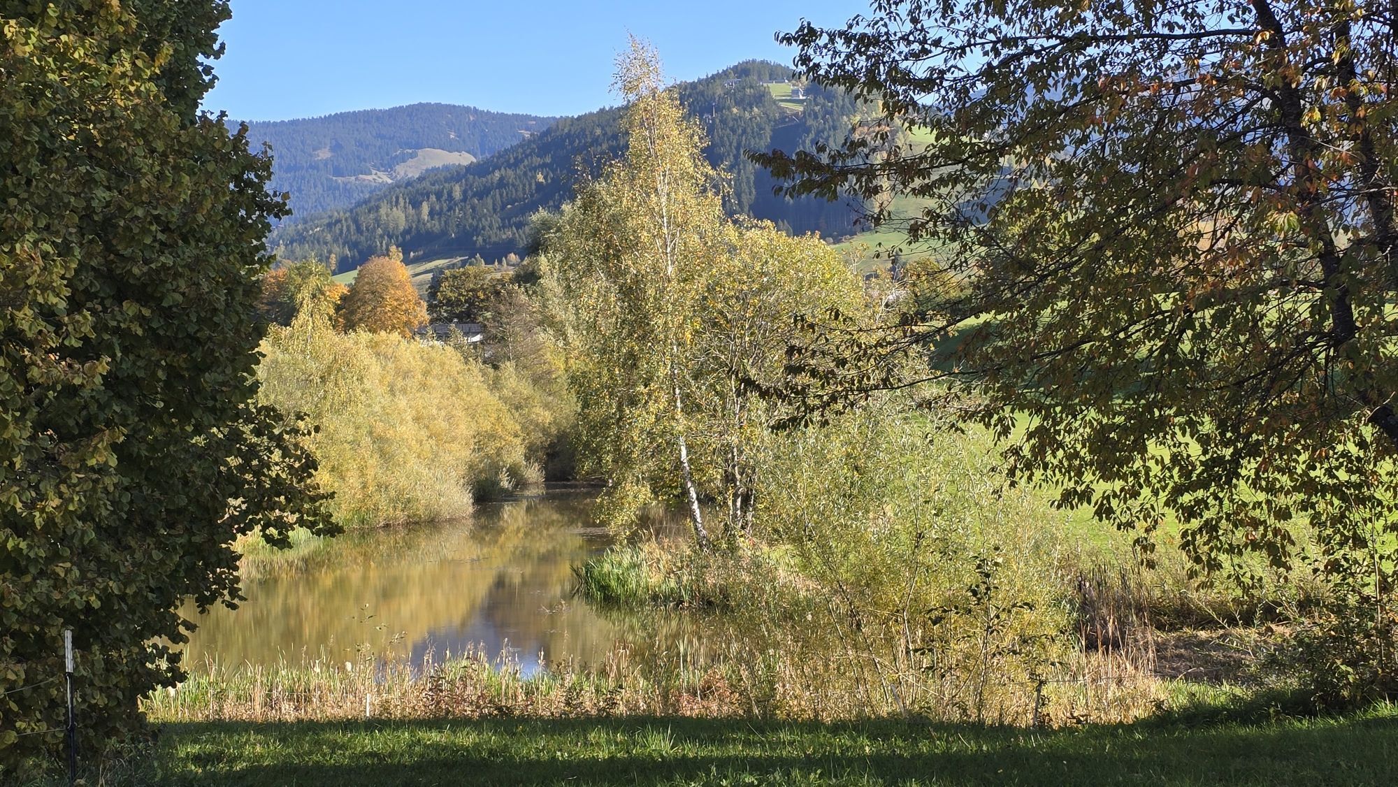
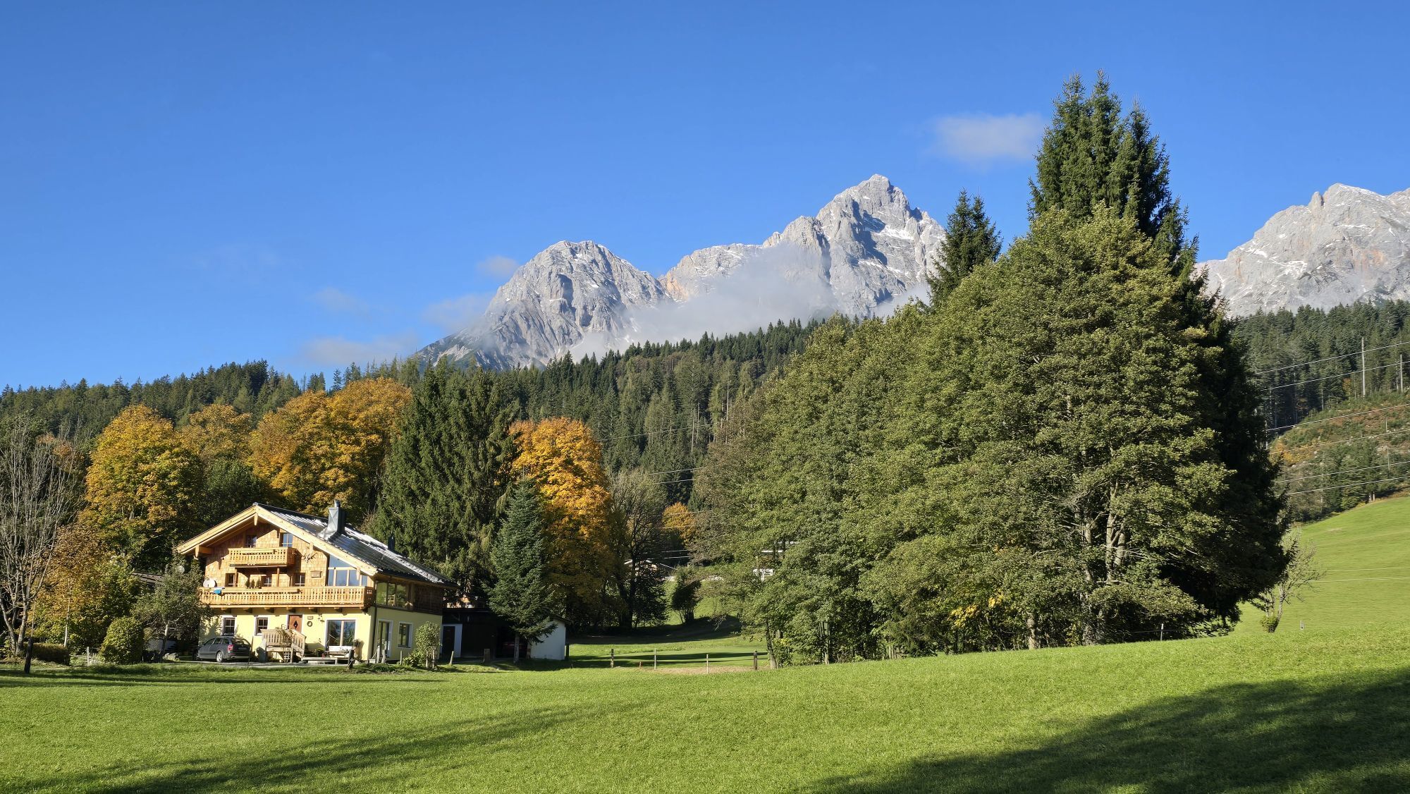
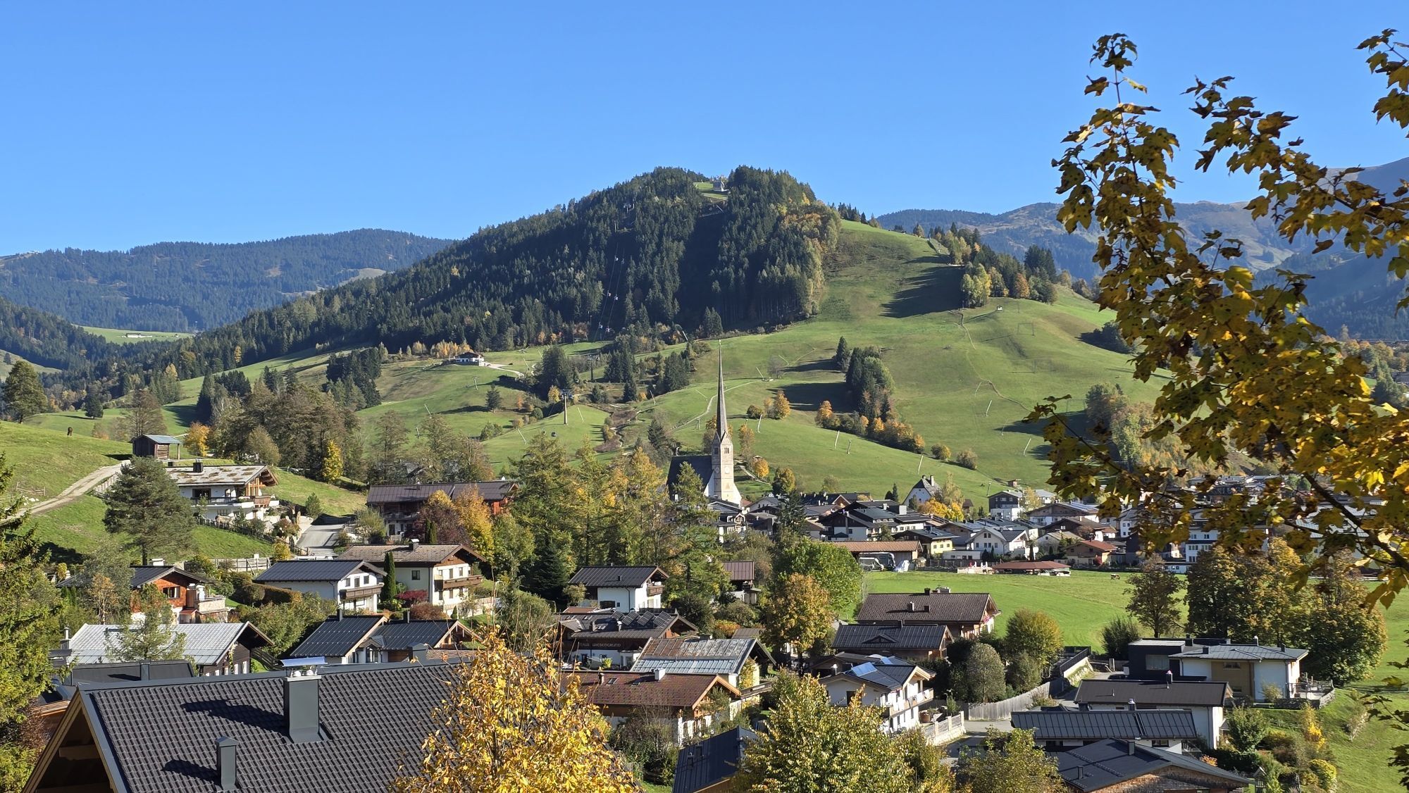
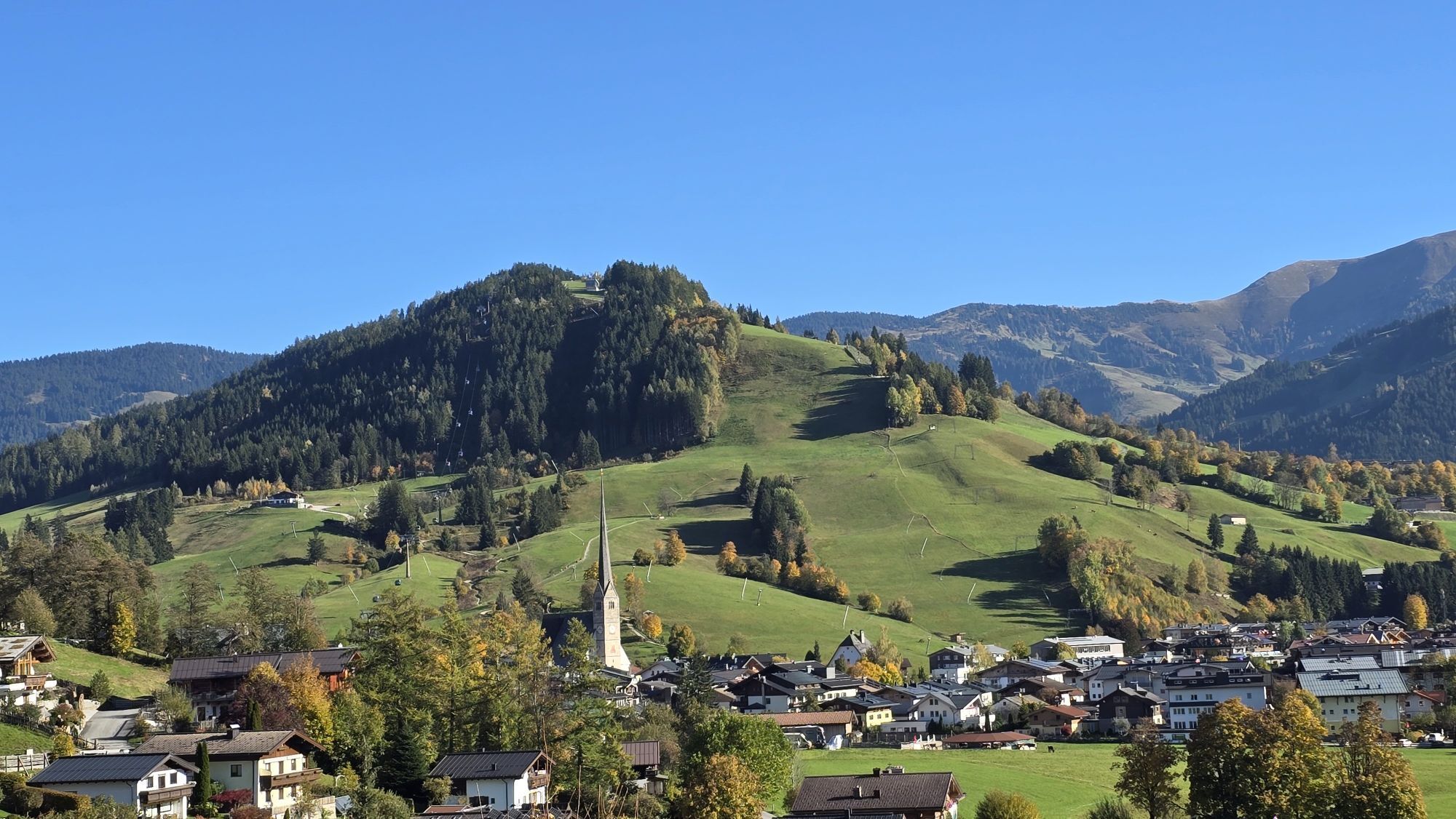
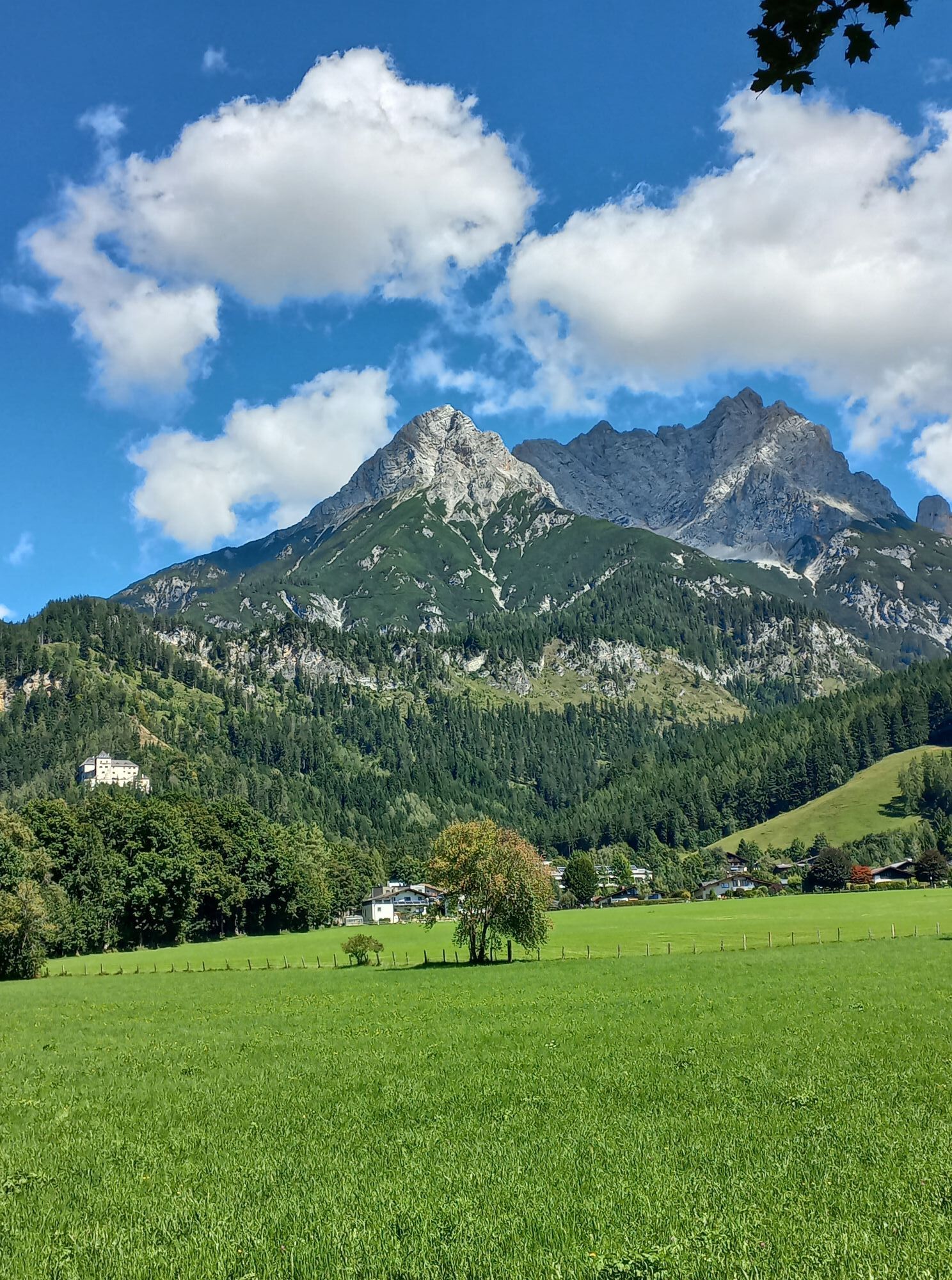
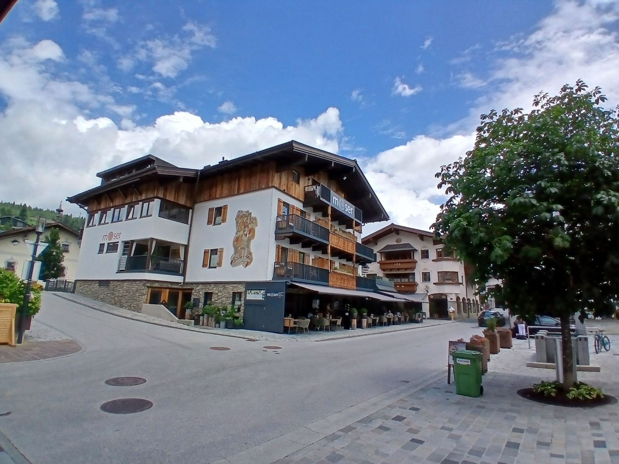

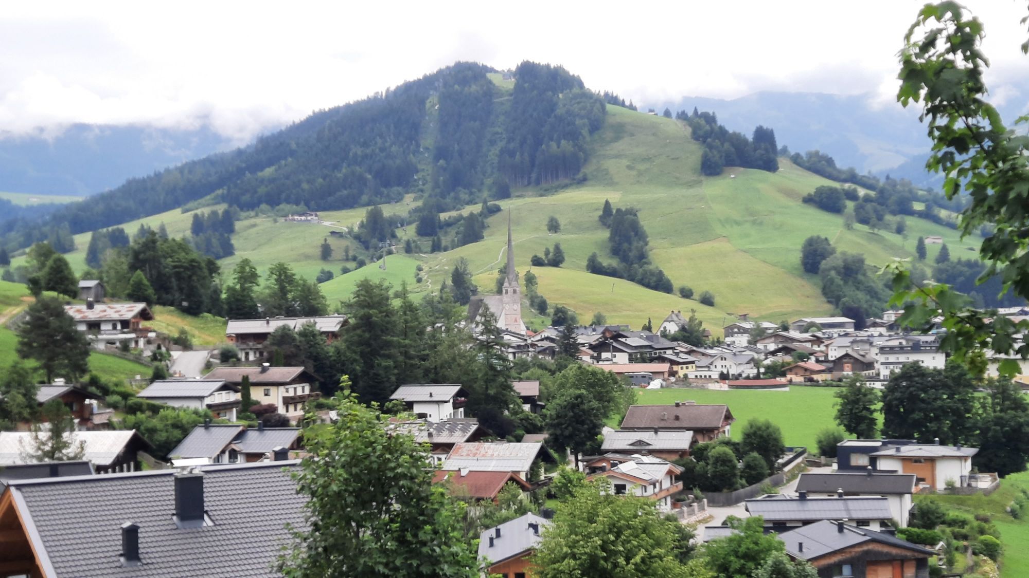
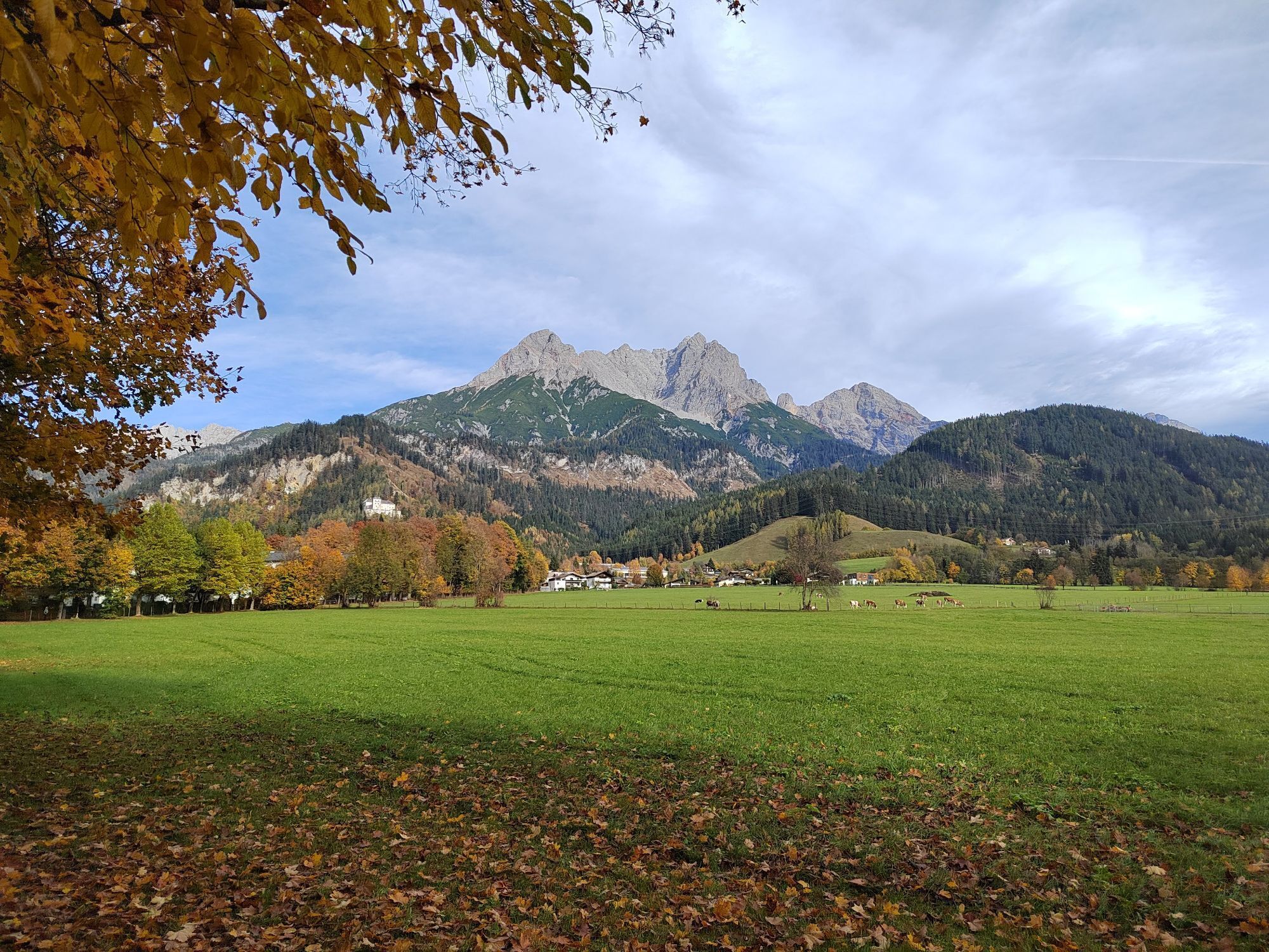
From Viehhofen to Castle Kammer in Maishofen. Left to Oberhaus and further, slightly uphill, to Gerling. In a slight uphill and downhill, bike via Ruhgassing to Hof. Shortly after Hof turn right to Almdorf...
Turn right at the barracks and take the Tauernradweg again. Through the districts of Bachwinkl and Wiesing. At Wiesing continue under the main road and through Euring and Lenzing. In Lenzing turn left at the church and follow the road. Through the underpass and turn sharp left onto the cycle path. Continue on the bike path to Saalfelden. In front of the train station, cross the tracks to the right. After the train station, turn right onto the street. After approx. 750 m at the main road, turn right onto the bike path. Via Harham, Bergern and Neunbrunnen to Maishofen and on the Glemmtal cycle path back to Viehhofen.


Turn right at the barracks and take the Tauernradweg again. Through the districts of Bachwinkl and Wiesing. At Wiesing continue under the main road and through Euring and Lenzing. In Lenzing turn left at the church and follow the road. Through the underpass and turn sharp left onto the cycle path. Continue on the bike path to Saalfelden. In front of the train station, cross the tracks to the right. After the train station, turn right onto the street. After approx. 750 m at the main road, turn right onto the bike path. Via Harham, Bergern and Neunbrunnen to Maishofen and on the Glemmtal cycle path back to Viehhofen.
Tak
-> https://www.neunbrunnen.at/hotel/
Kamery internetowe z trasy
-
Schmittenhöhe
-
Asitz Gipfel
-
Sonnkogel
-
Schmittenhöhe
-
Mitterberg bei Thumersbach
-
Zell am See / Hotel Berner
-
Schmittenhöhe
-
Schmittenhöhe
-
Zell am See
-
Saalfelden
-
Großer Asitz / Gipfelkreuz
-
Leogang Schanteilift
-
Thumersbach
-
Maishofen Sausteige
-
Maishofen - Schloss Kammer
-
Natrun Bergstation
-
Leogang - Grosser Asitz
-
Maishofen Dorfplatz
-
zellamseeXpress
-
Hoferbichlgut
-
Hinterreit - Saalfelden
-
Saalfelden - Obermühlhof
-
Maria Alm - "die Hochkönigin"
-
Schmittenhöhe

Popularne wycieczki w okolicy
-
4,4
Maria Alm - Riemannhaus
Wędrówka 3,99 km -
4,8
Königssee - Kärlinger-Haus
Wędrówka 10,1 km -
4,9
Summit stormer route Lauskopf
ciężkiWędrówka 8,16 km -
4,6
Seisenberg Gorge
światłoWędrówka 2,41 km -
4,4
Schwalbenwand Nr. 80, 81, 82
średniWędrówka 13,0 km -
4,6
Peter-Wiechenthaler Hut
średniWędrówka 8,63 km -
4,6
Steinalm
światłoWędrówka 5,43 km -
5,0
Goldtoni - Wandern - Watzmann - Überschreitung
ciężkiWycieczka wysokogórska 25,3 km -
4,9
Watzmann Überschreitung an einem Tag
ciężkiWędrówka 23,9 km -
4,8
Breithorn
średniWędrówka 10,0 km
Wędrówki i tropienie


Nie przegap ofert i inspiracji na następne wakacje
Twój adres e-mail została dodana do listy mailingowej.


