







Persailhorn SOUTH (Steinernes Meer)

Poziom trudności: A/B
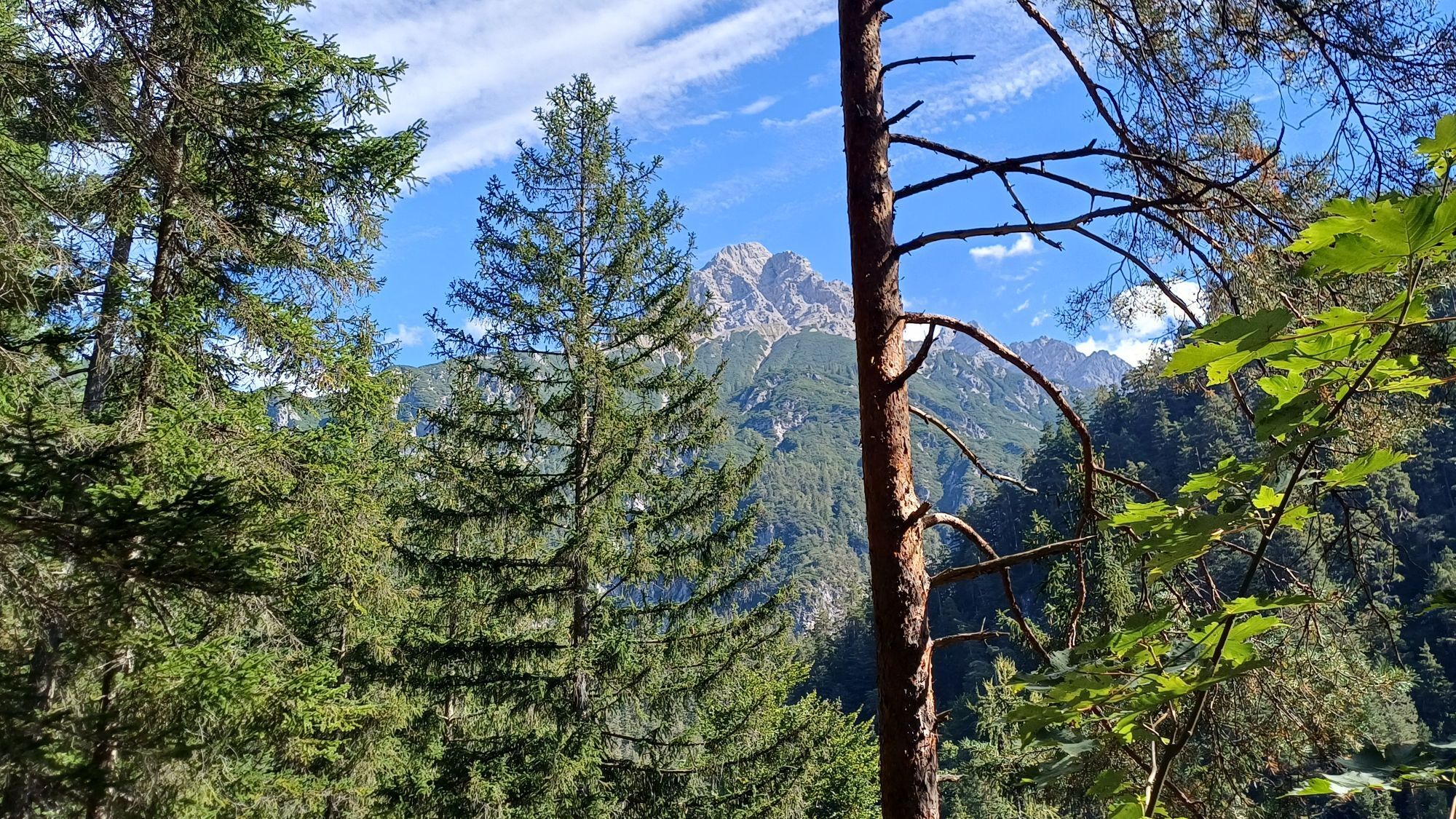
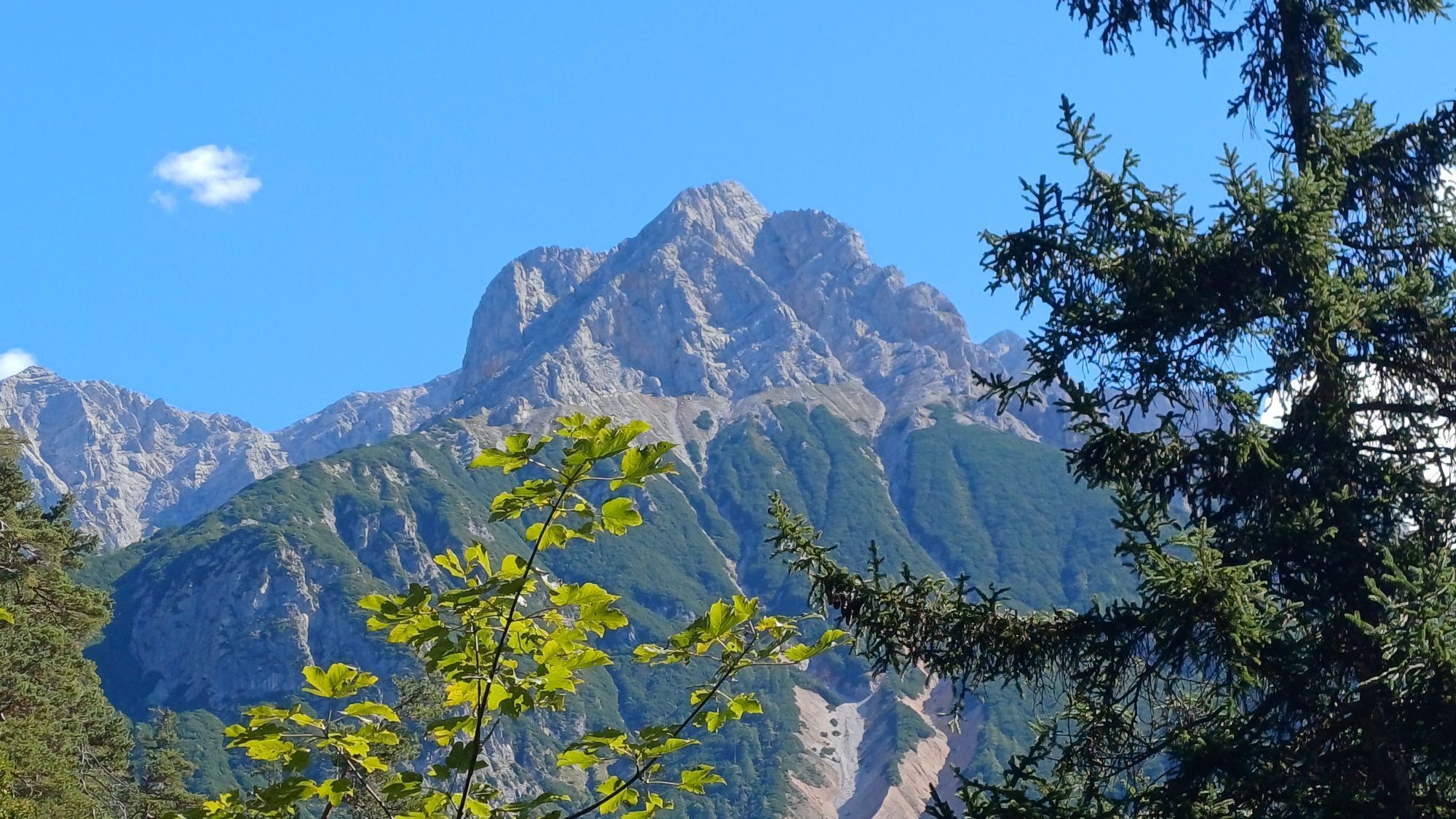
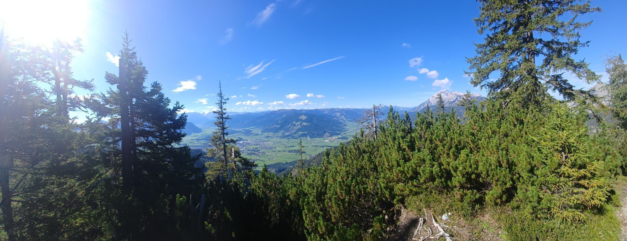
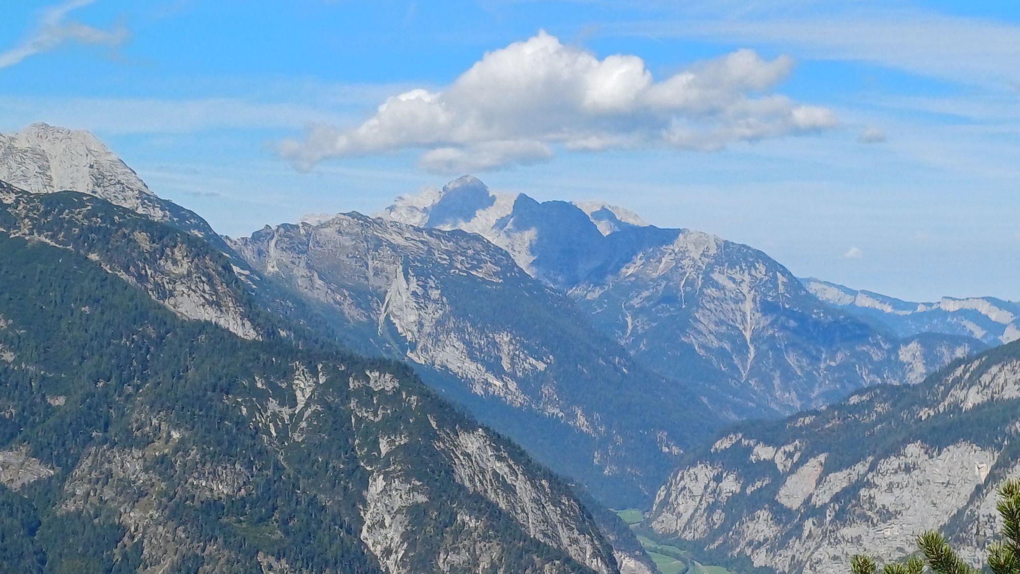
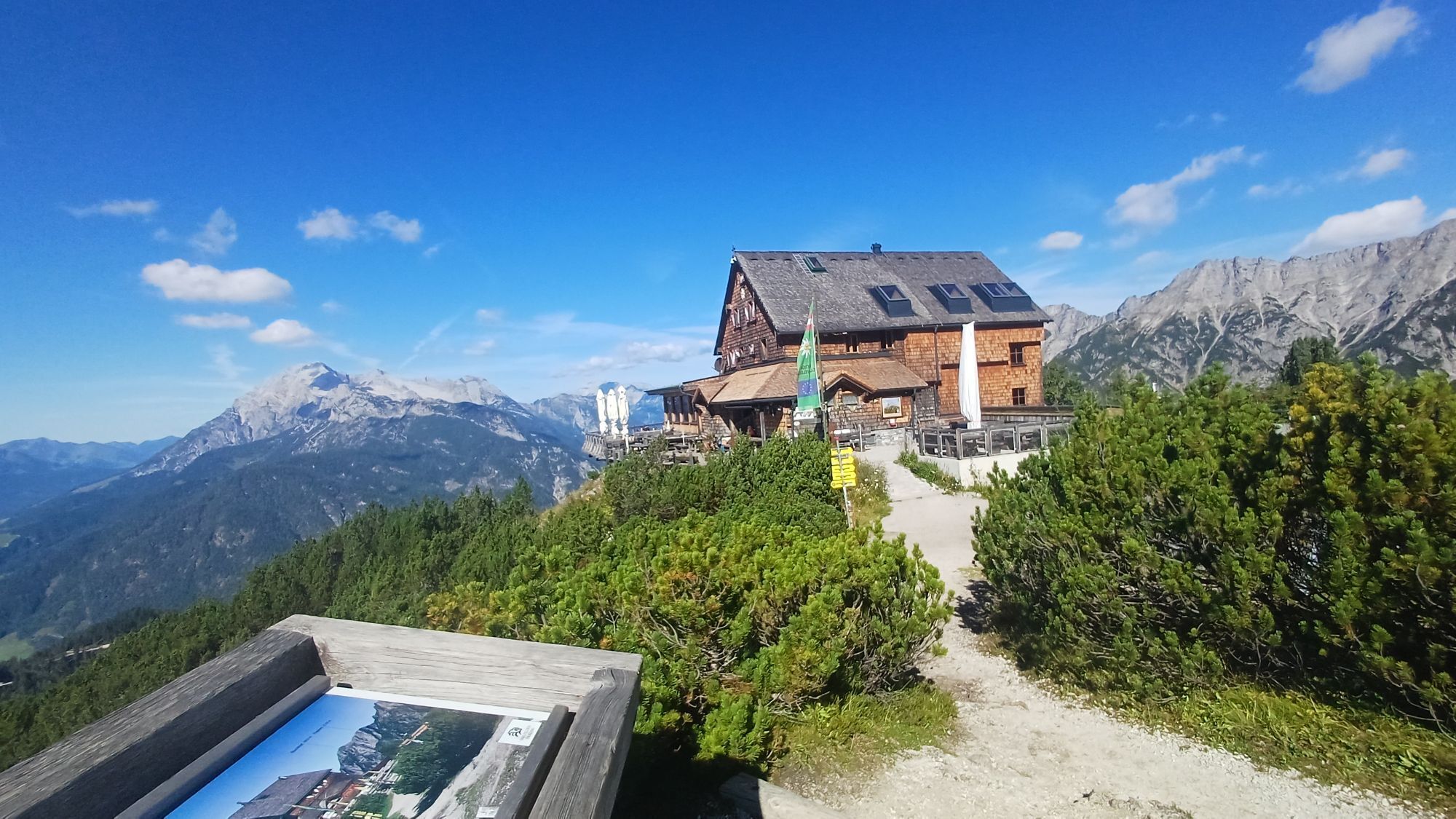
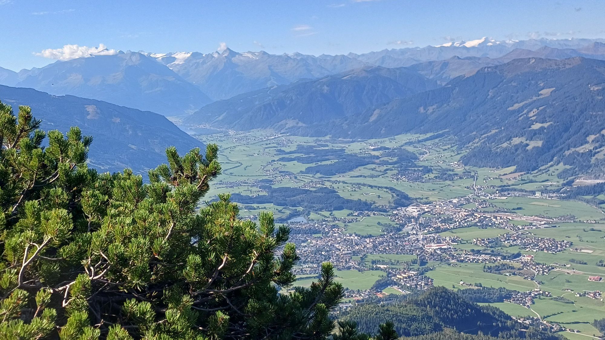
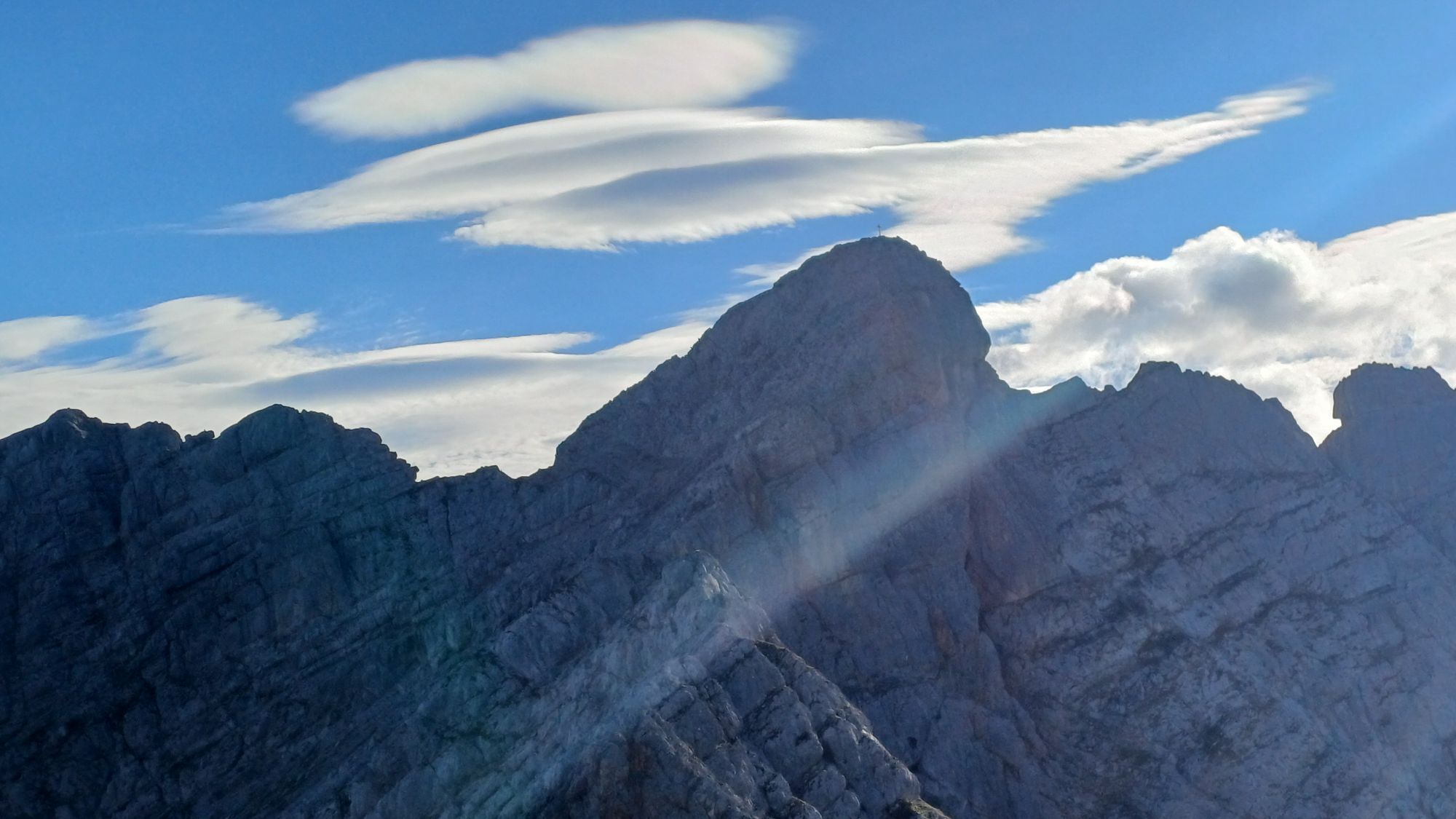
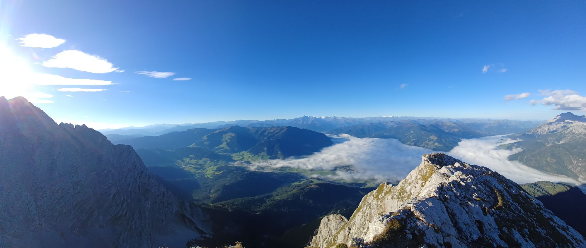
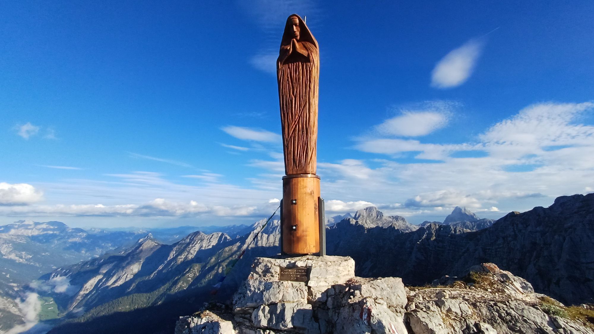
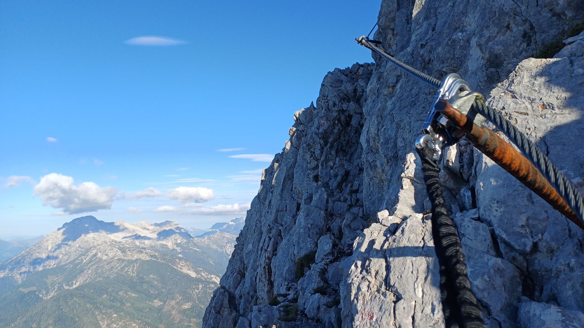
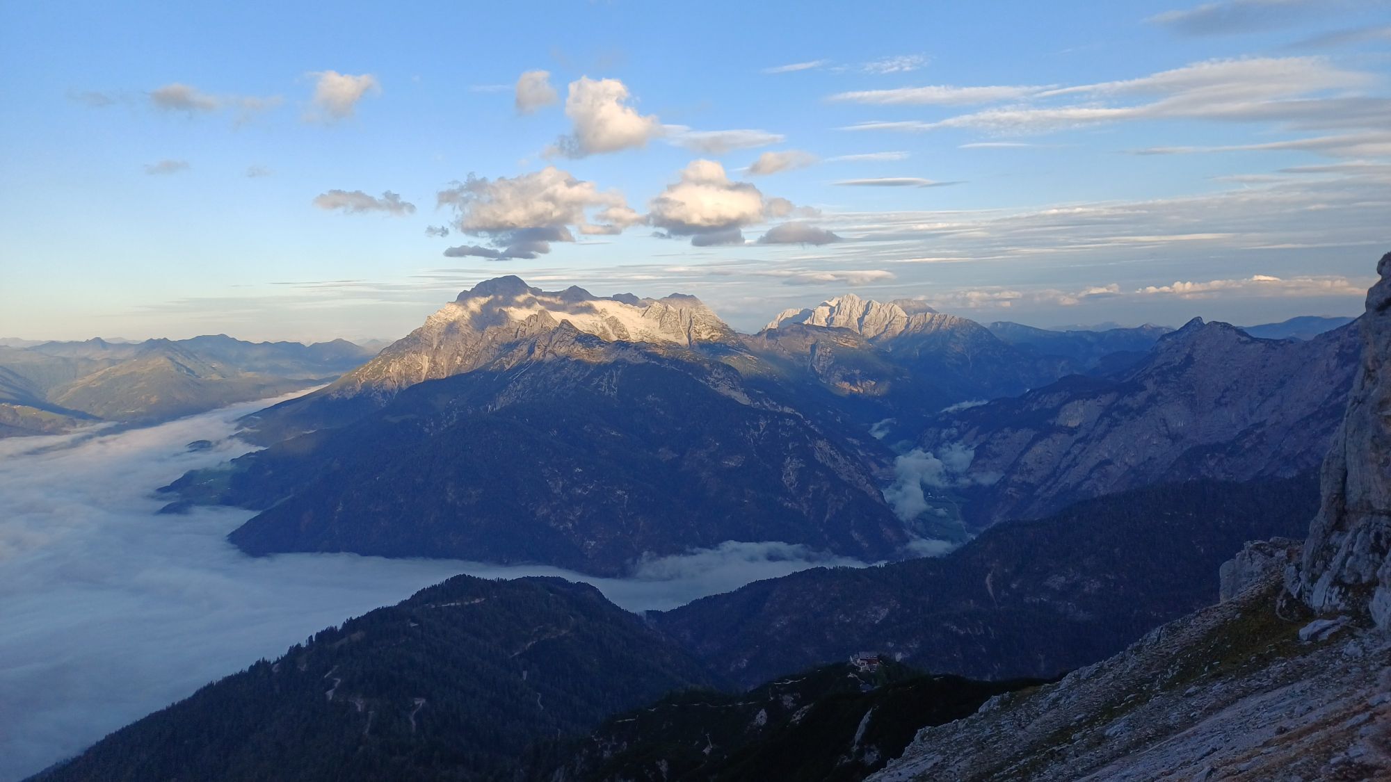
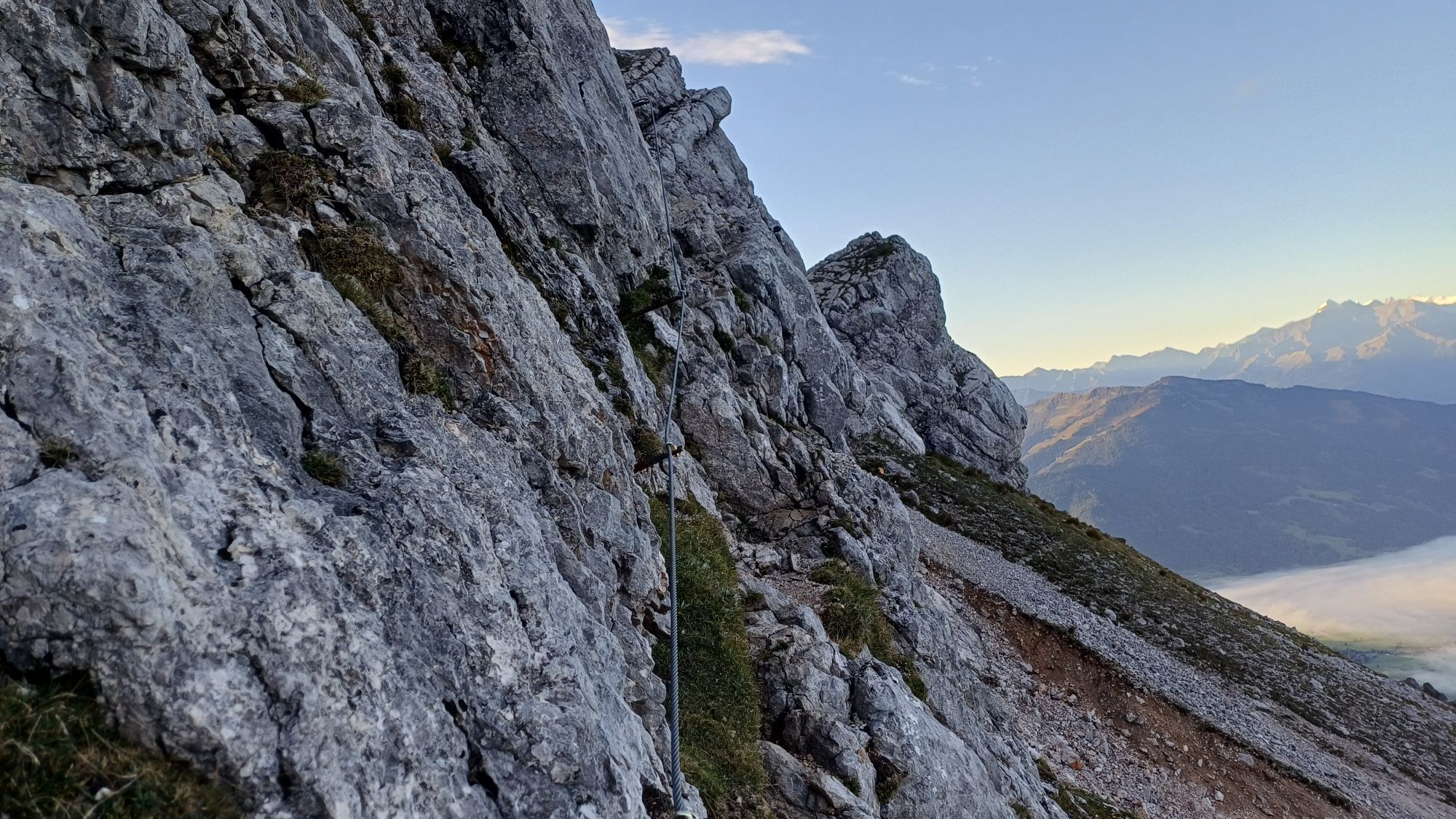
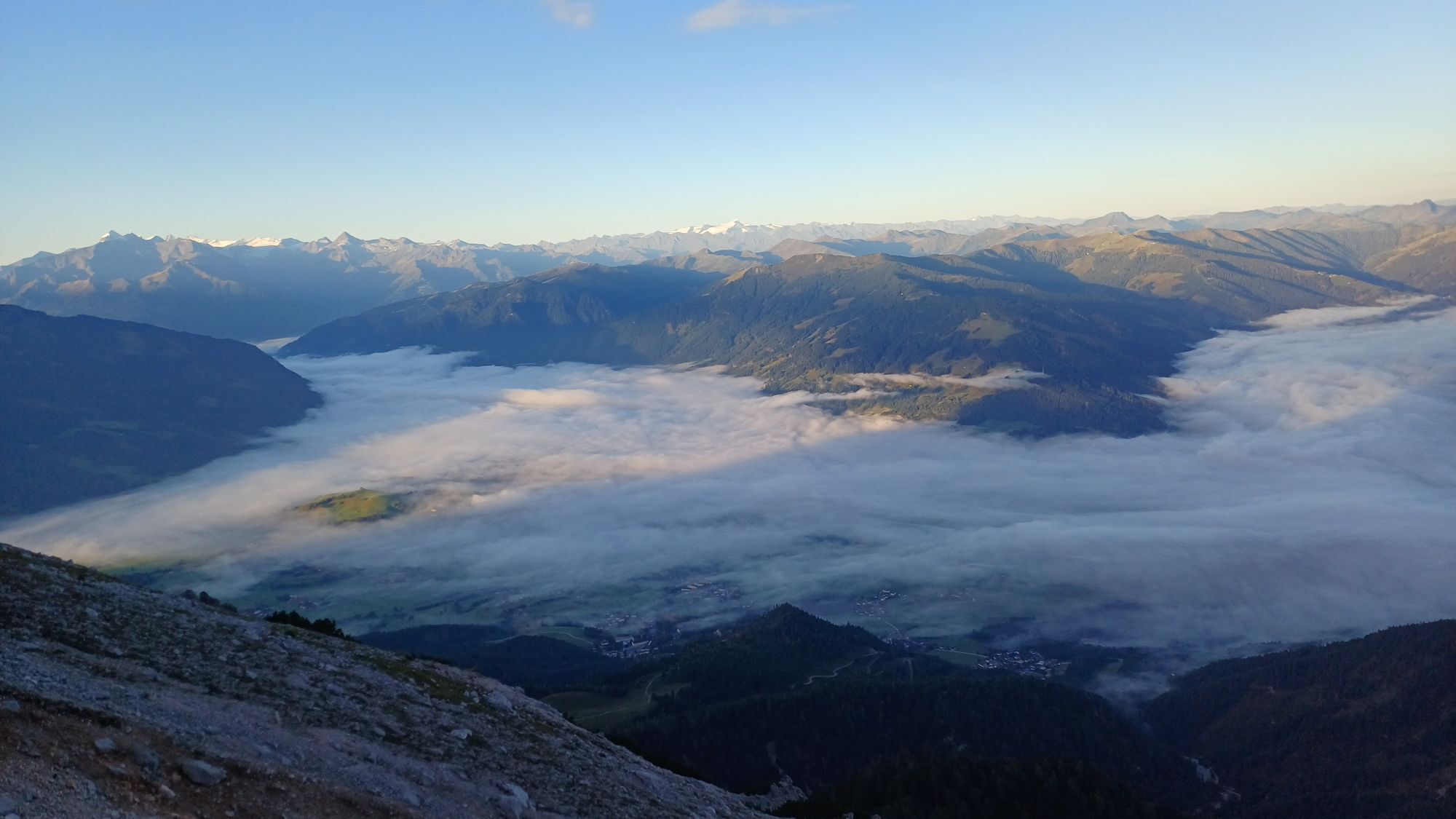
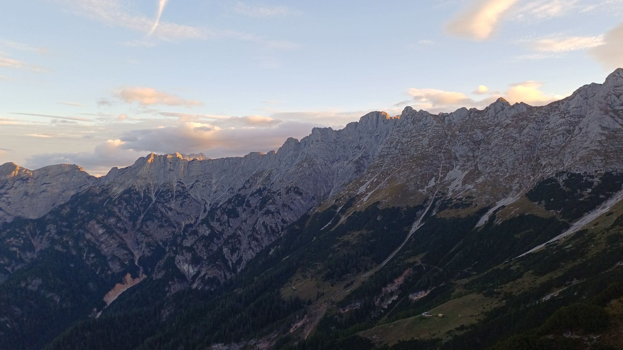
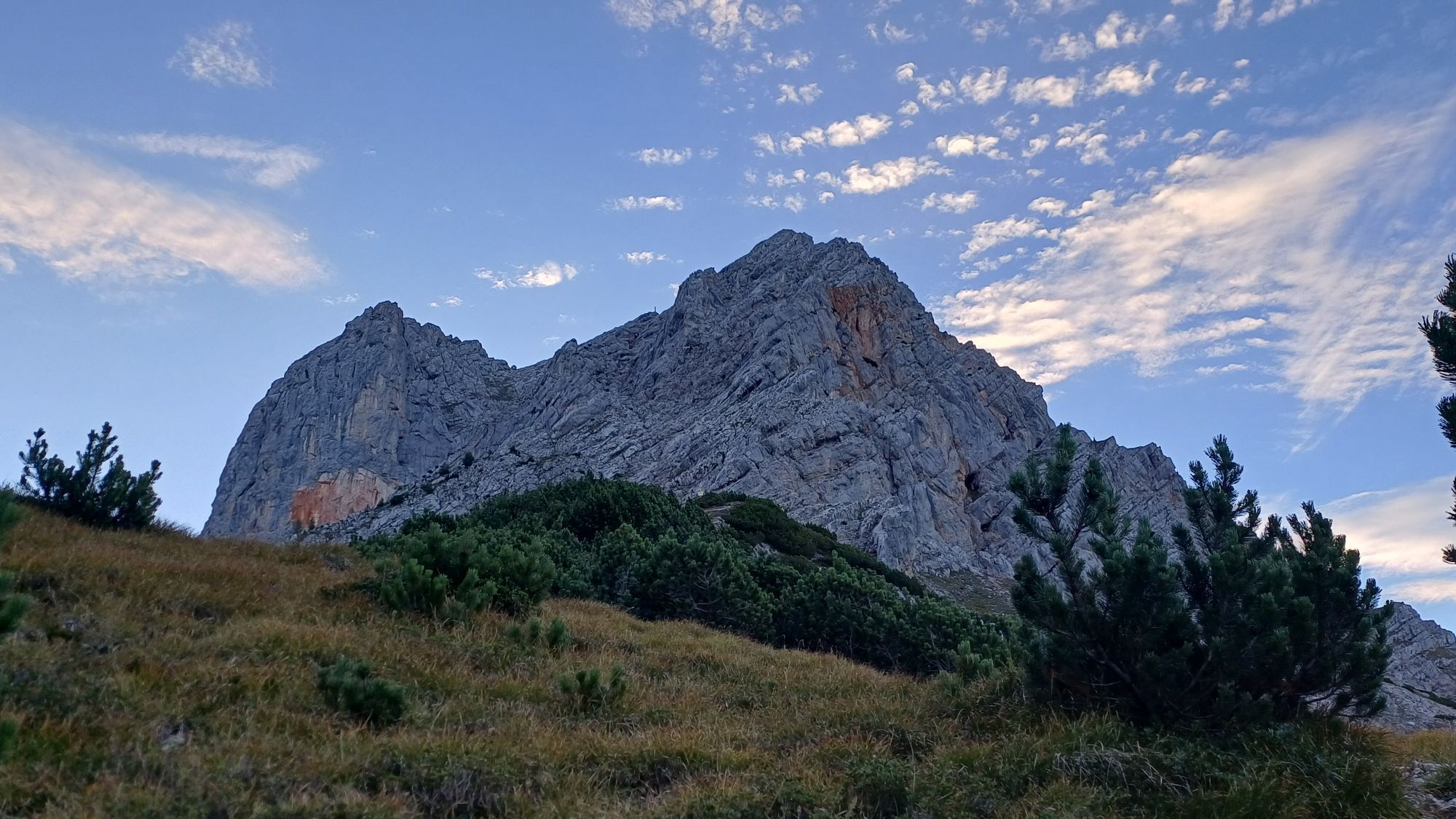
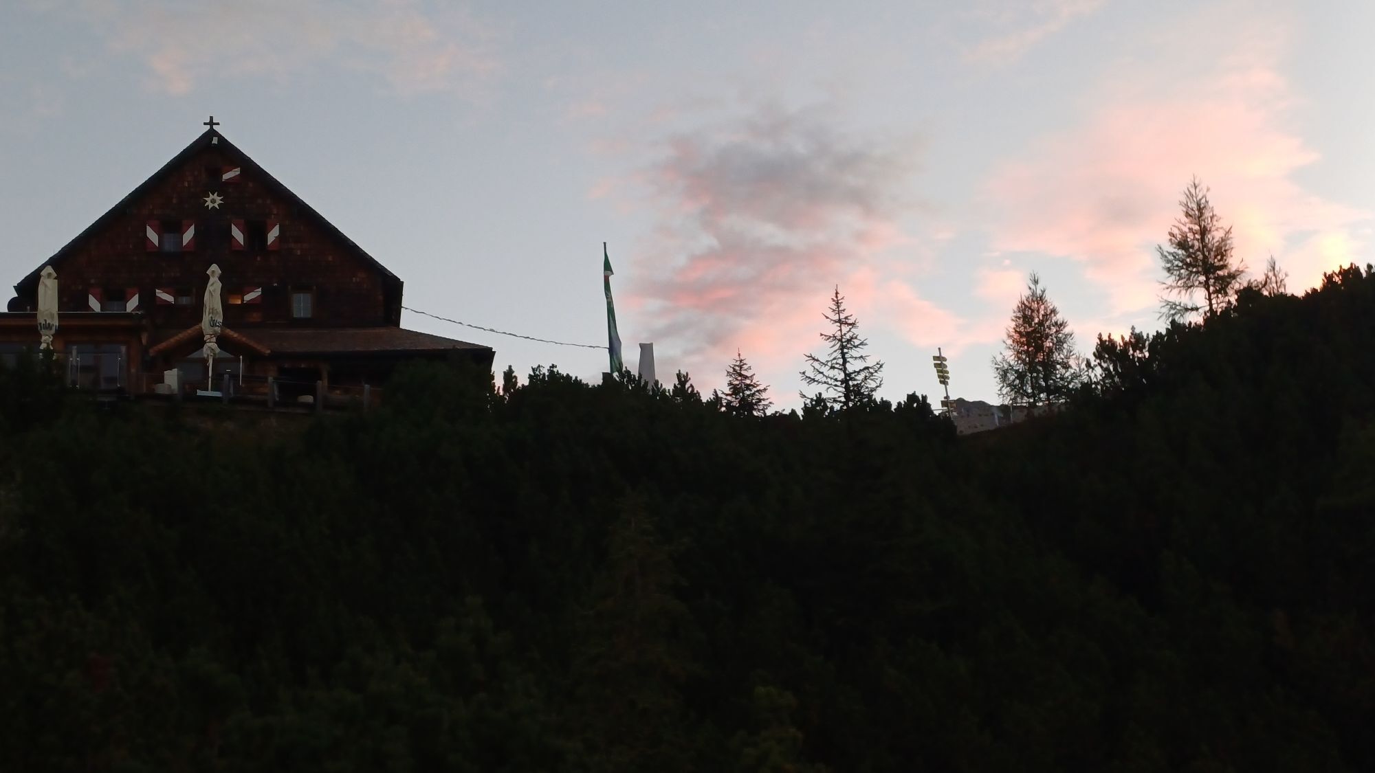
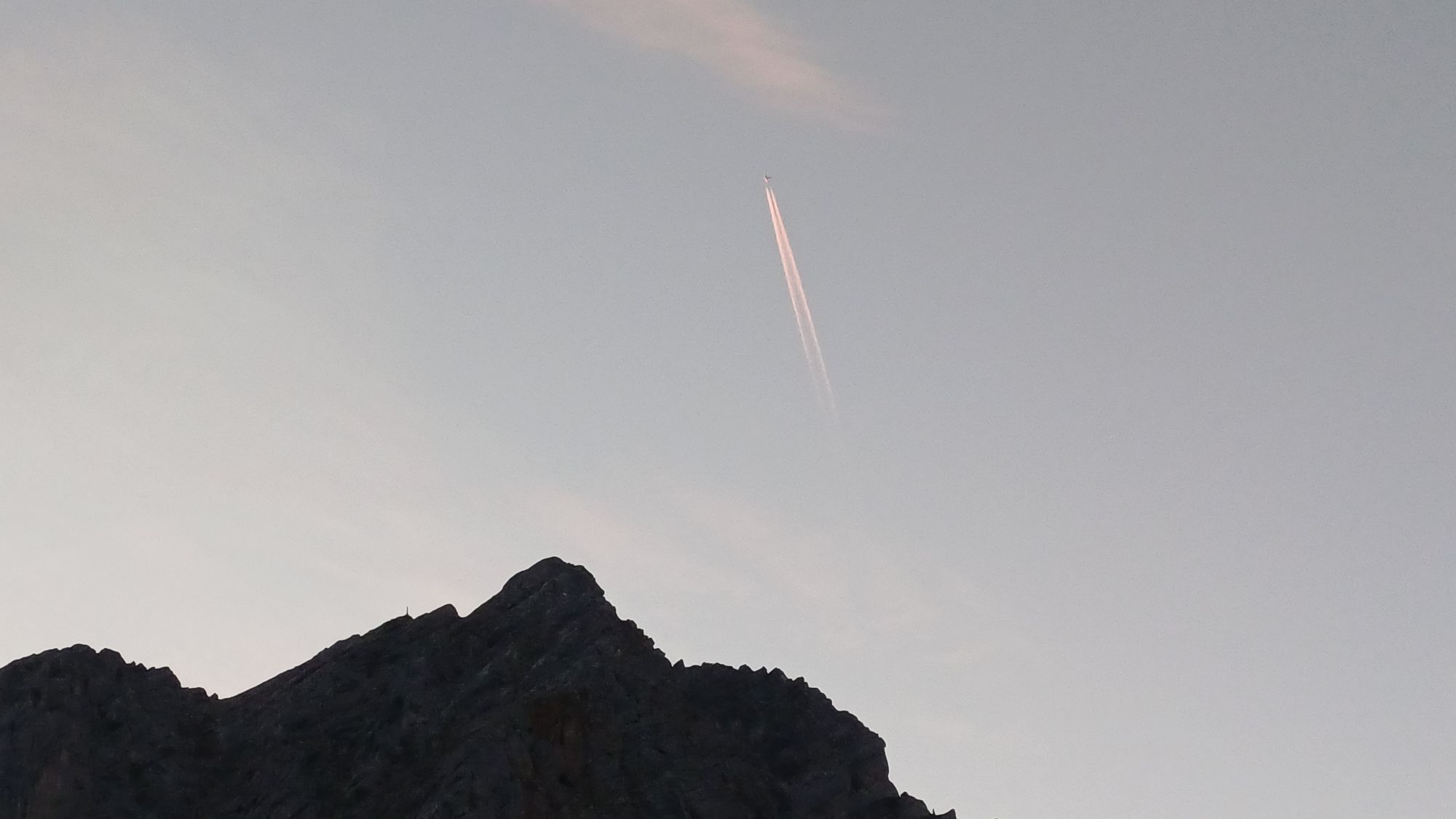
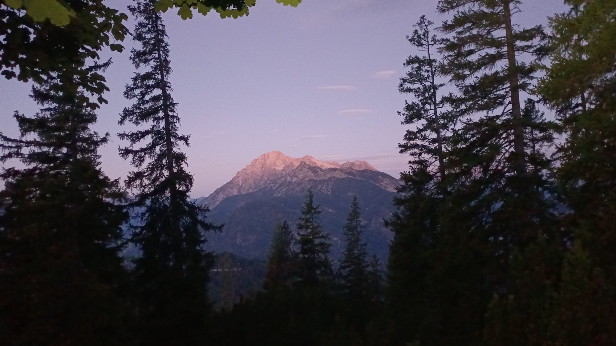
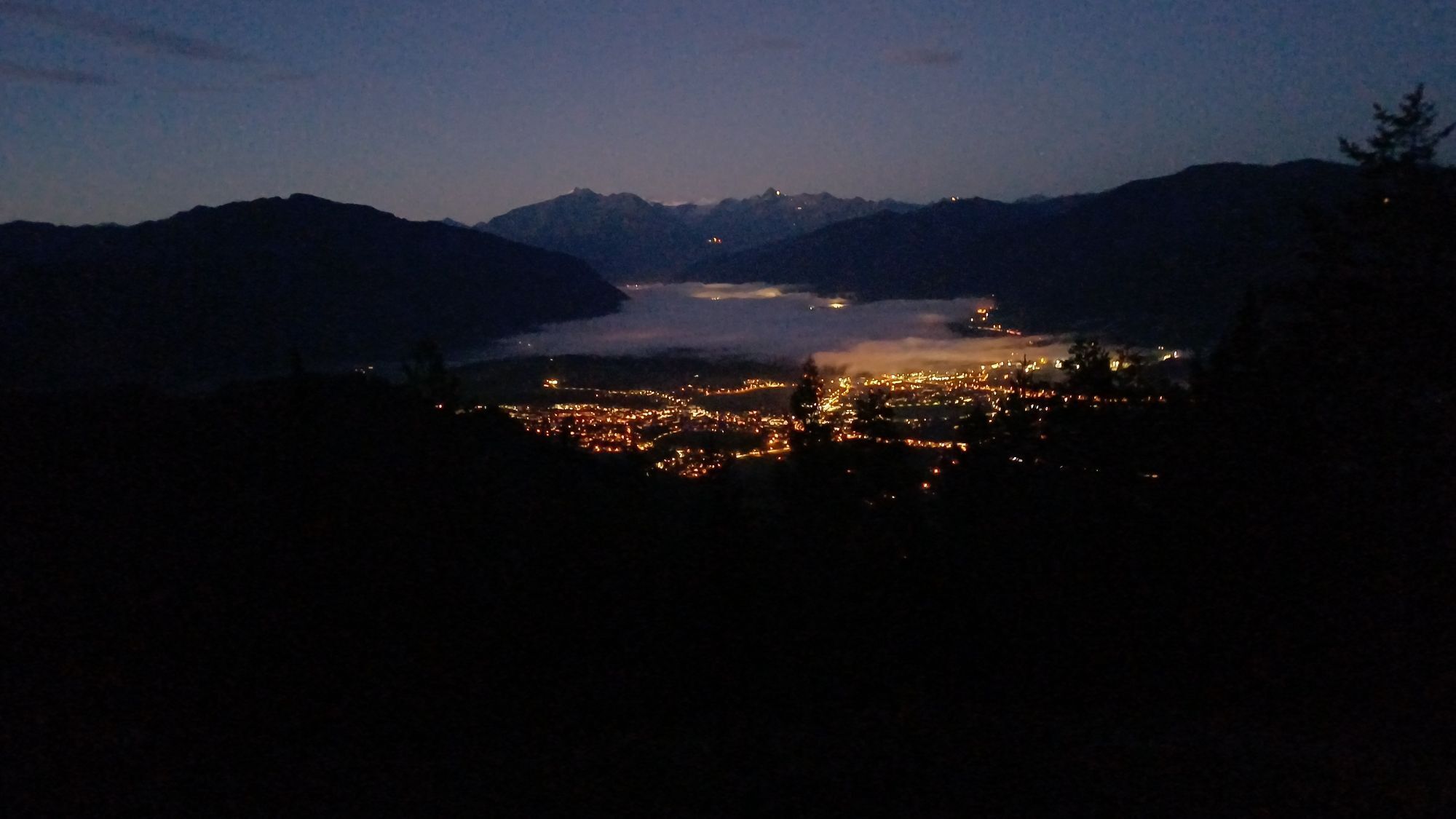

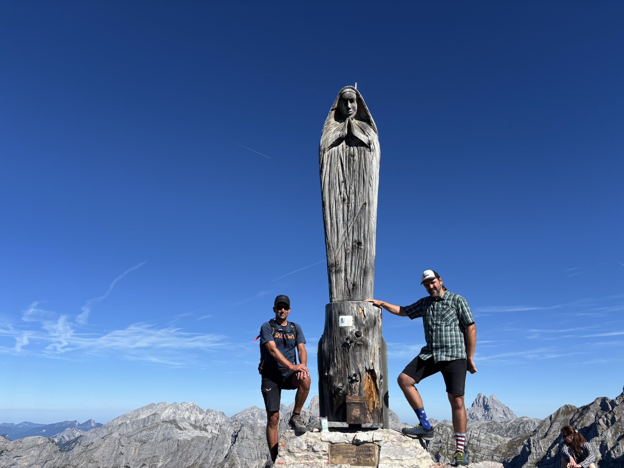
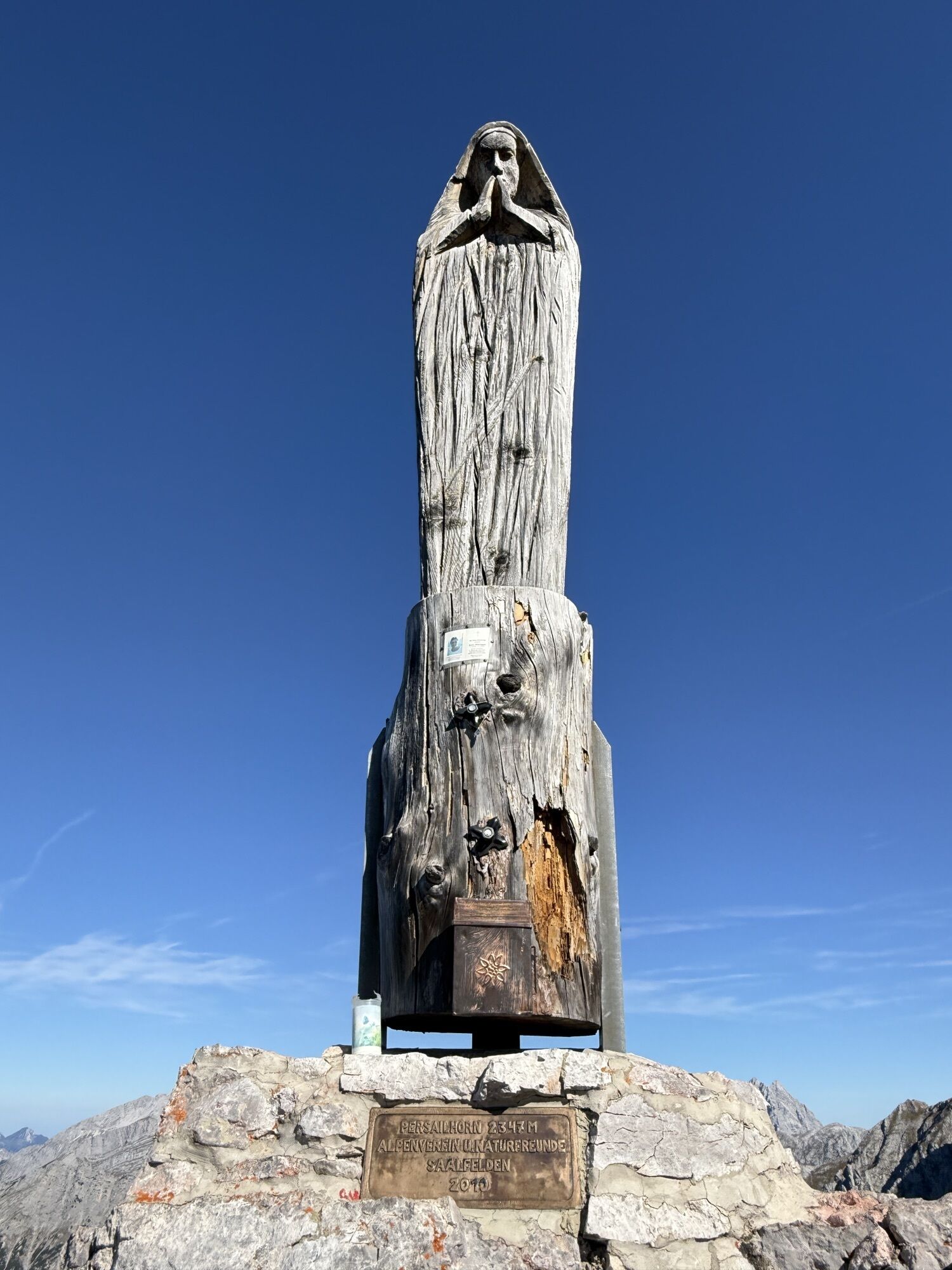
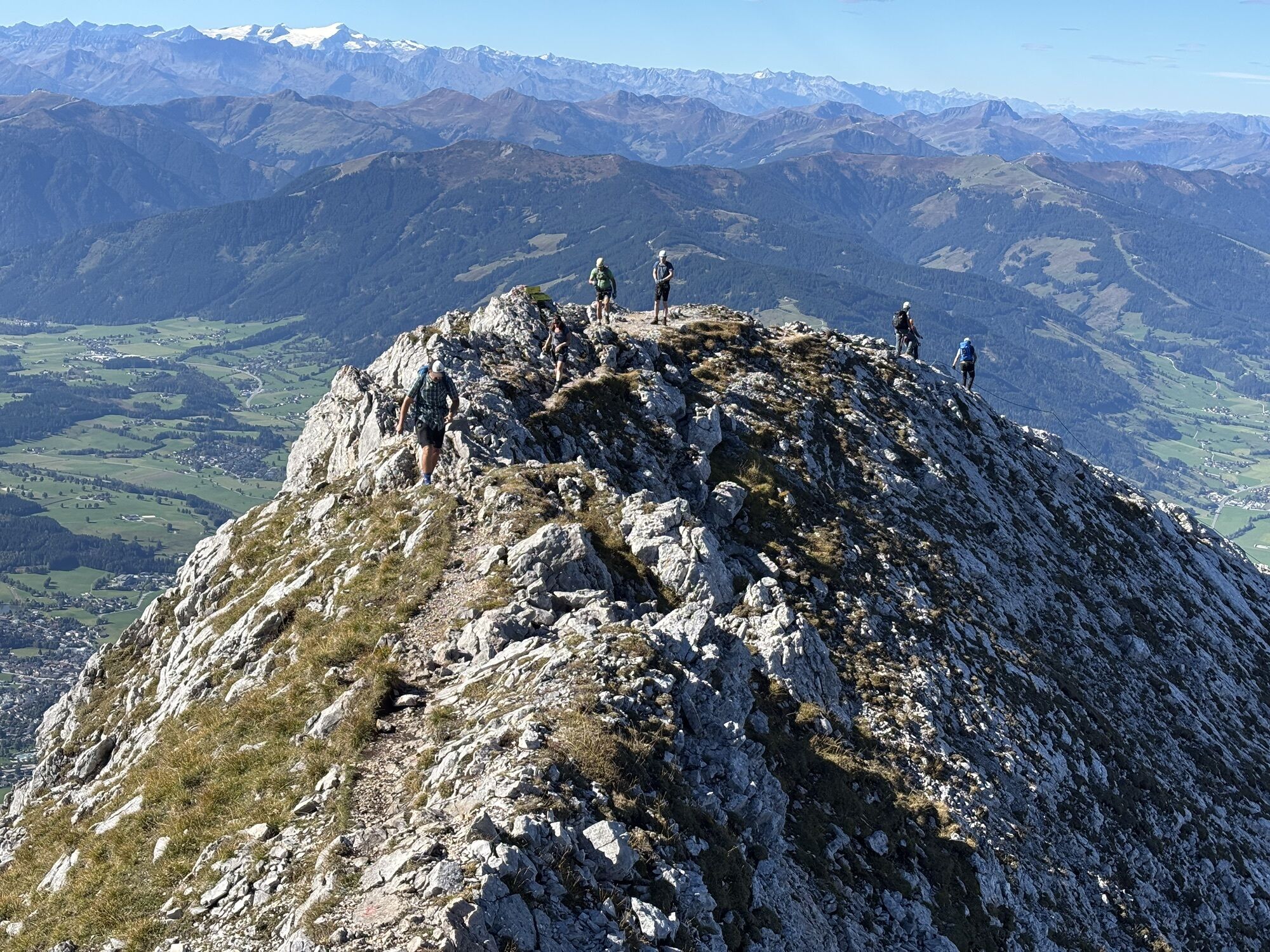
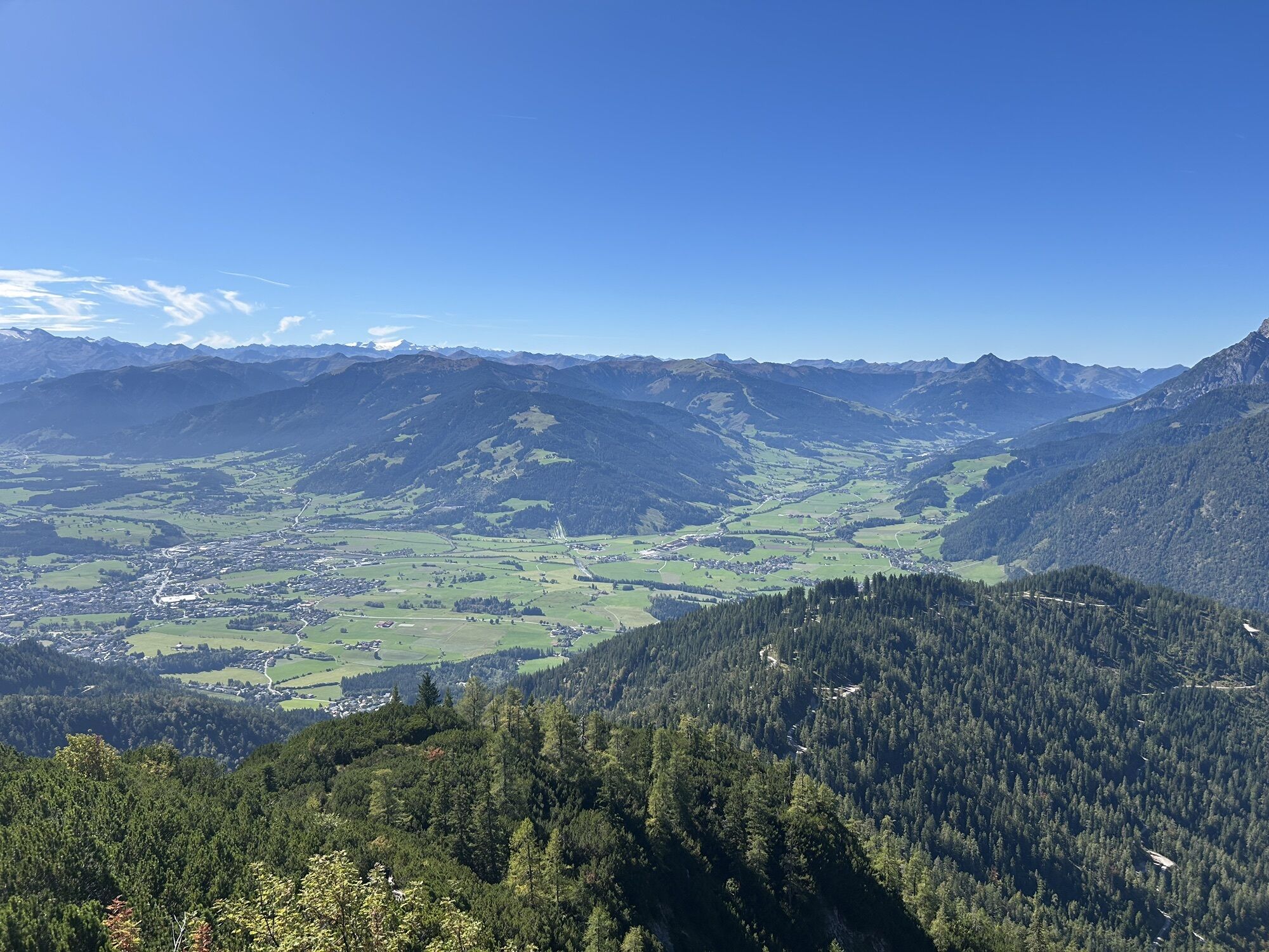
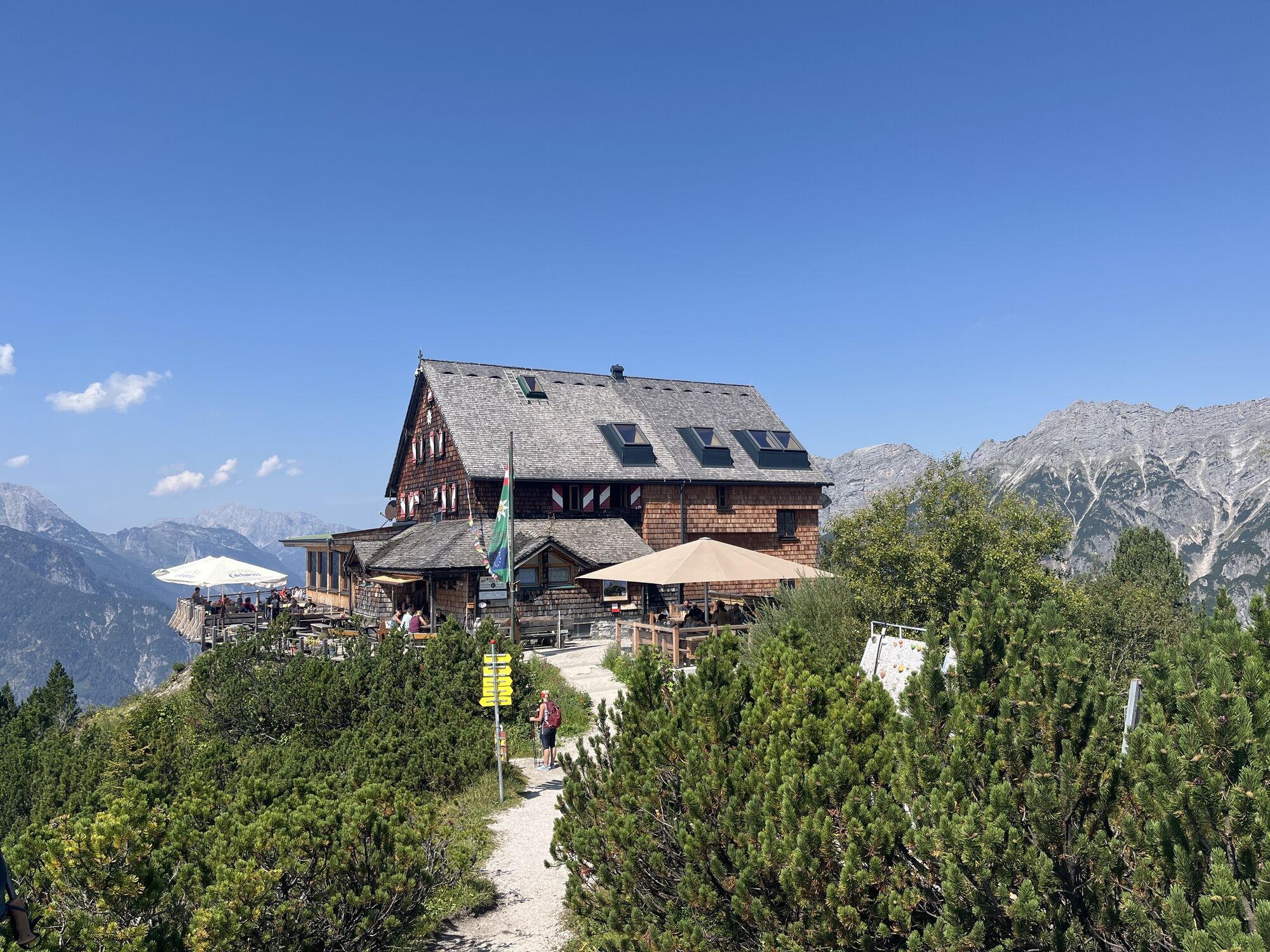
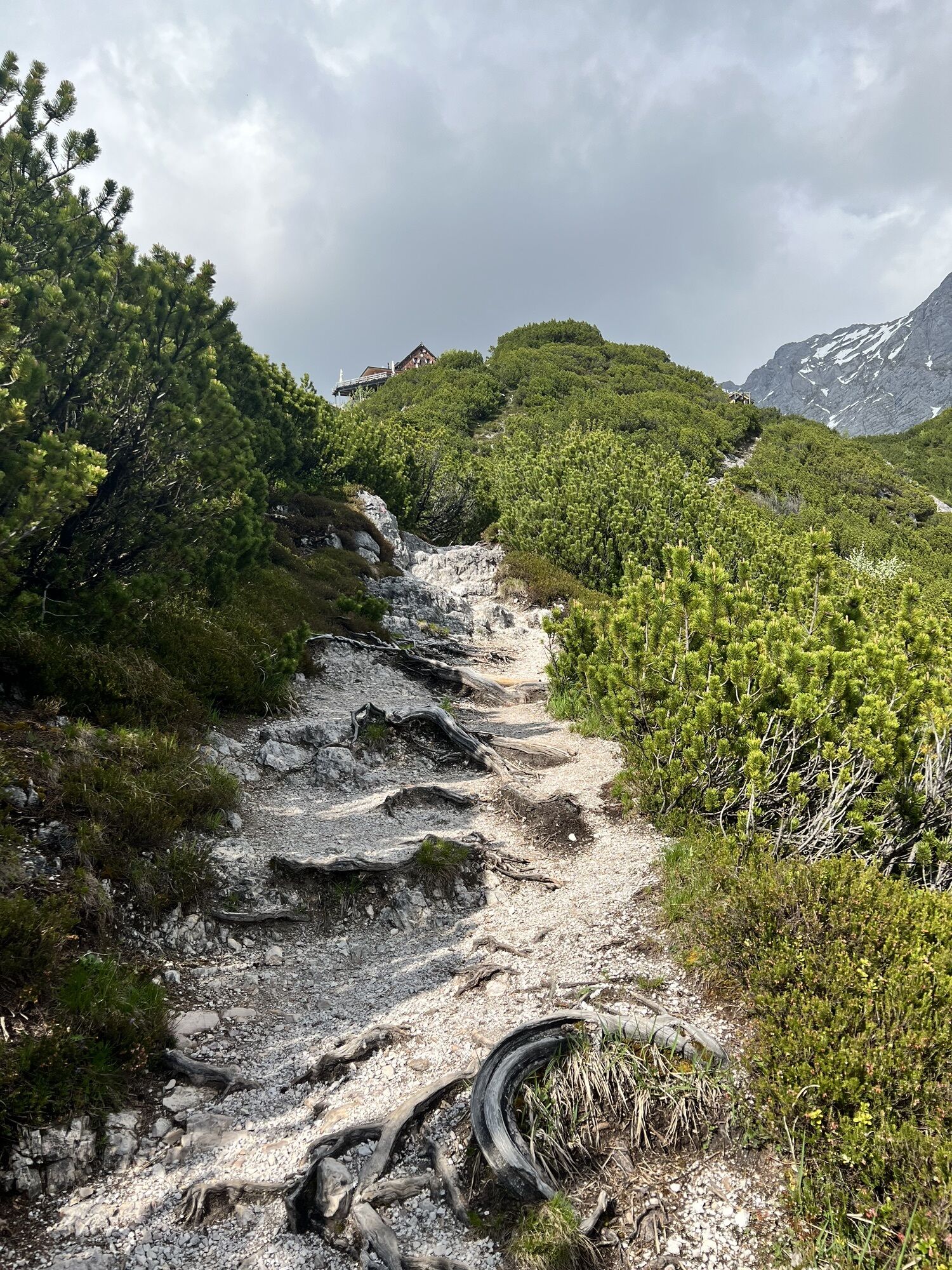
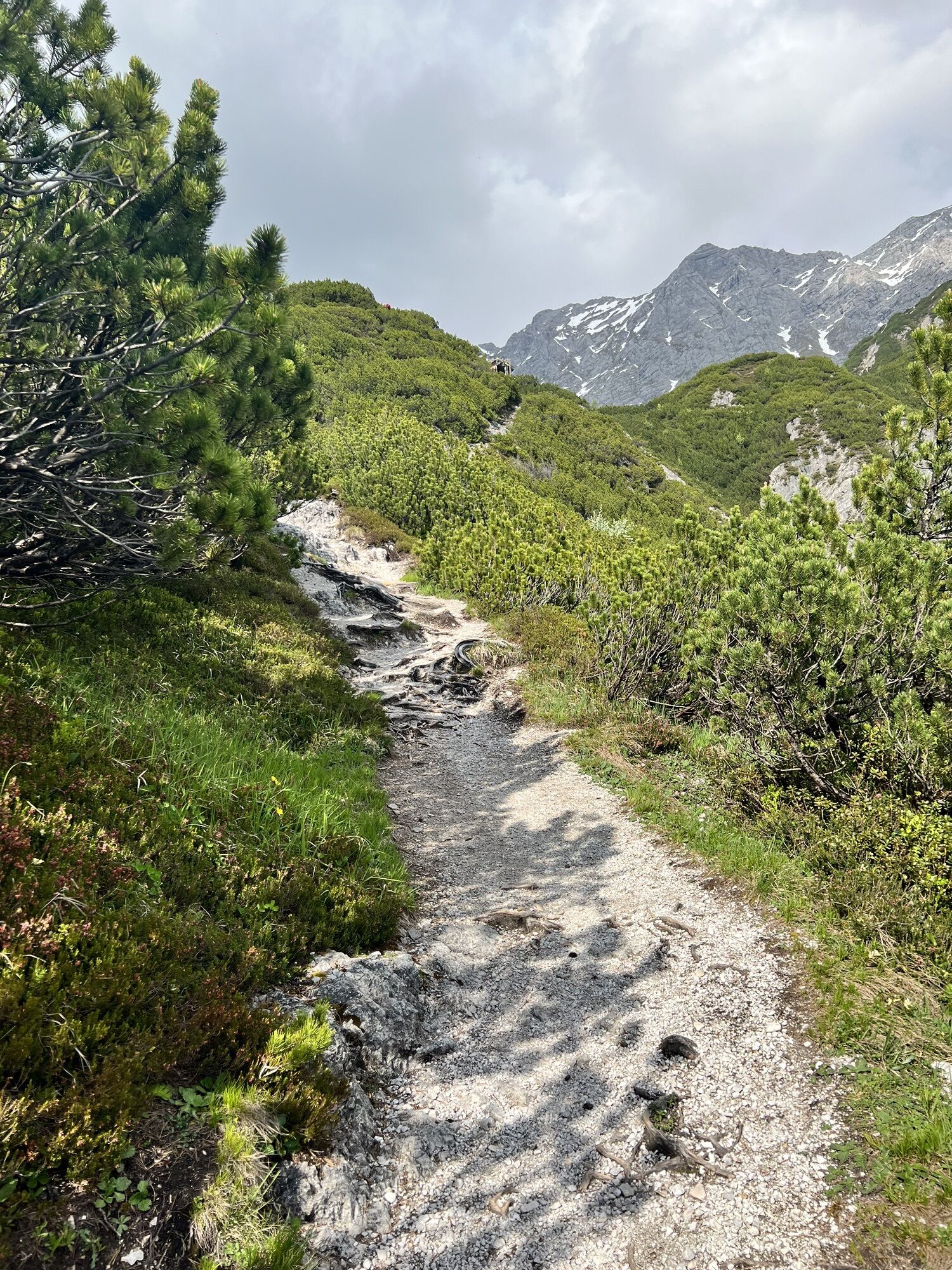
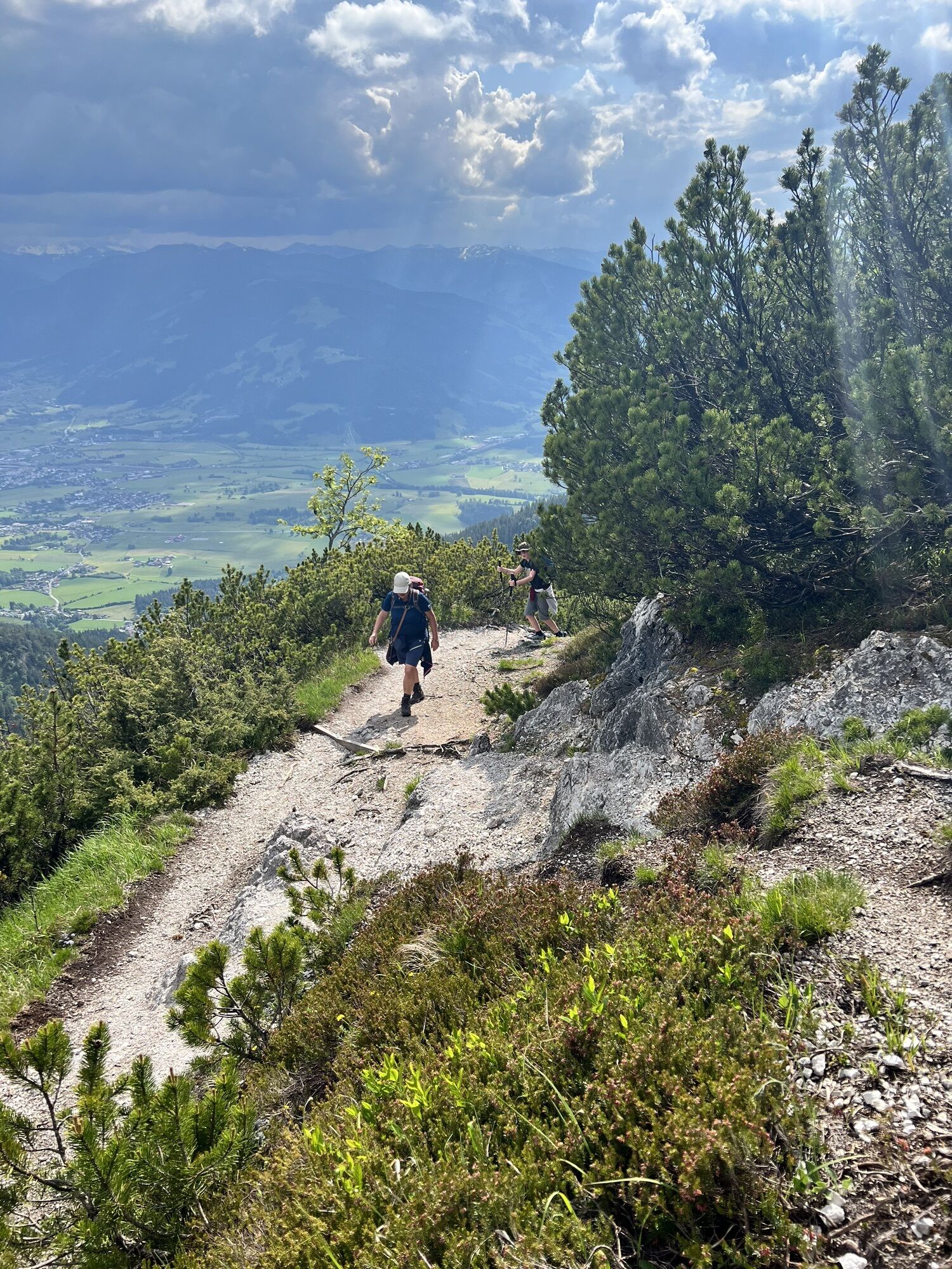
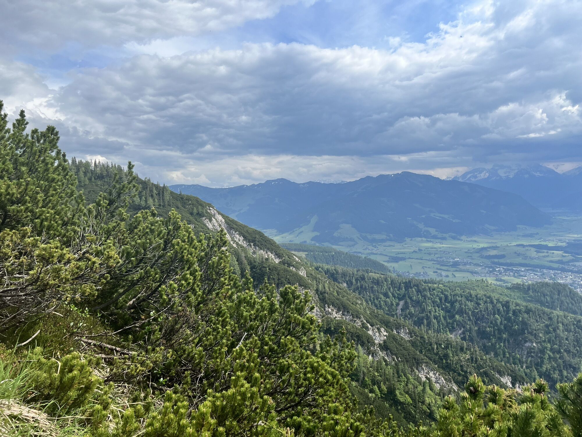
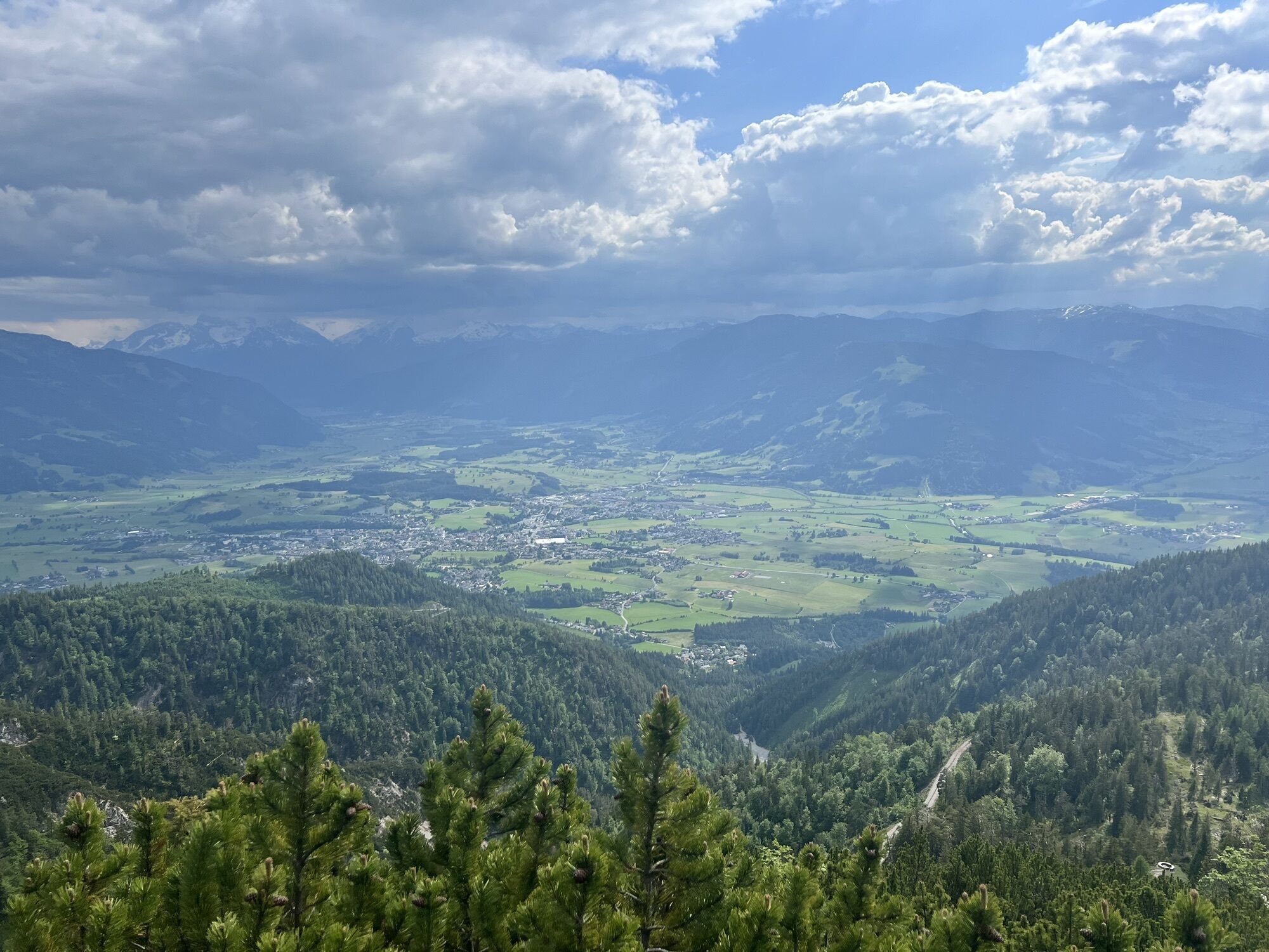
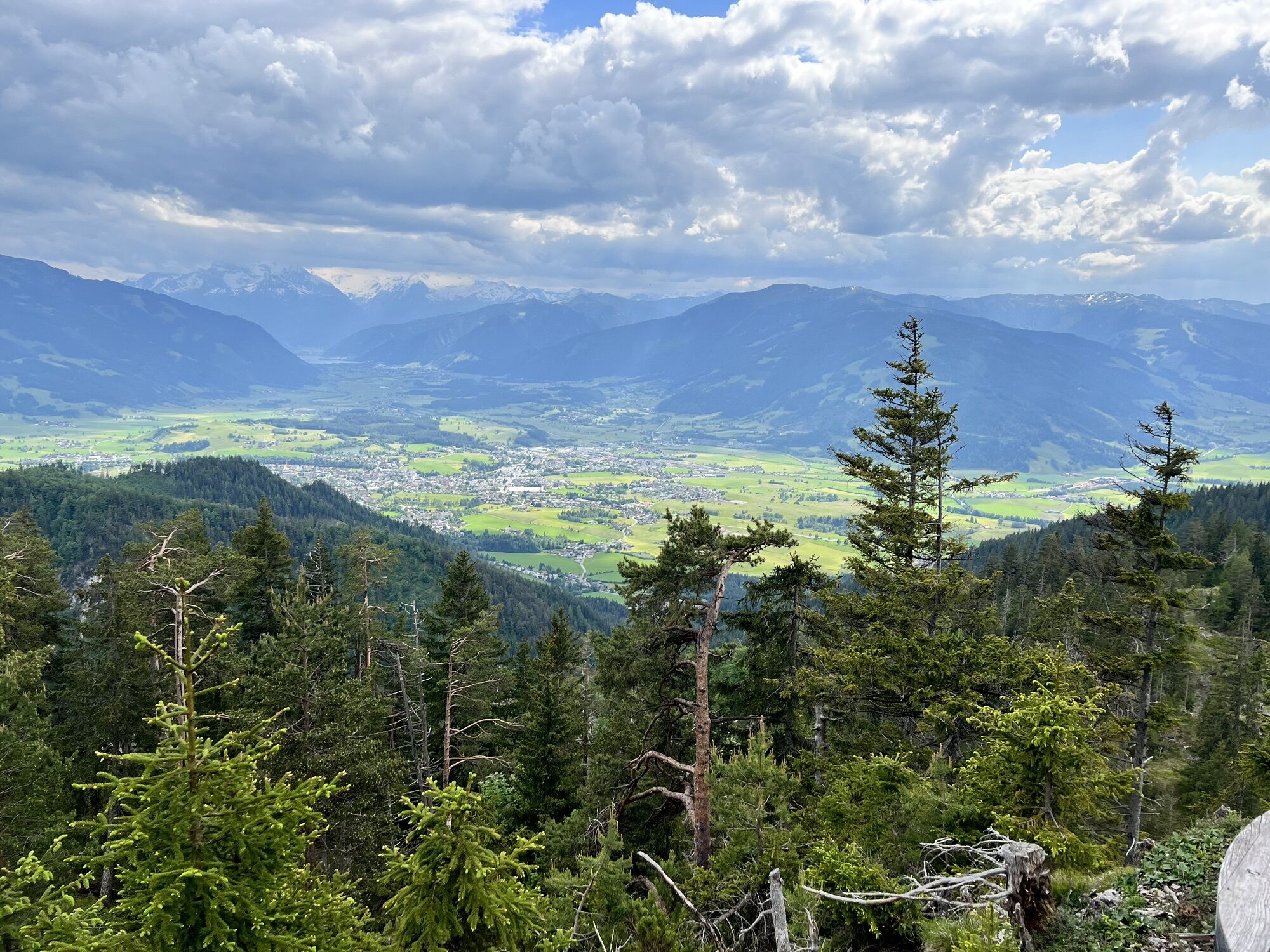
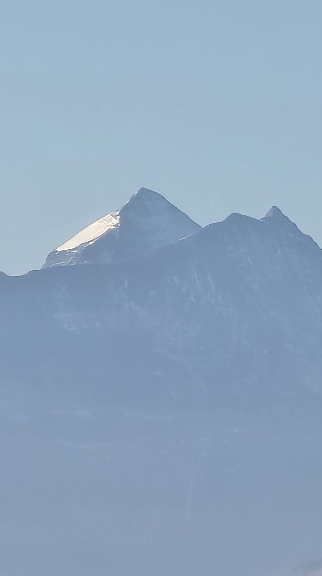
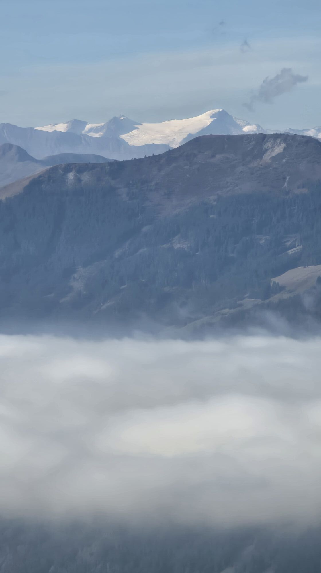
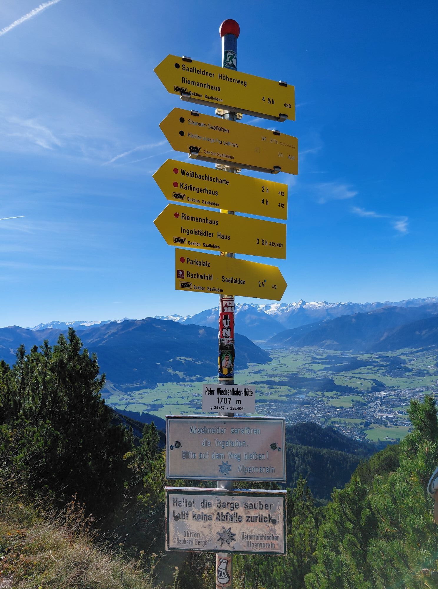
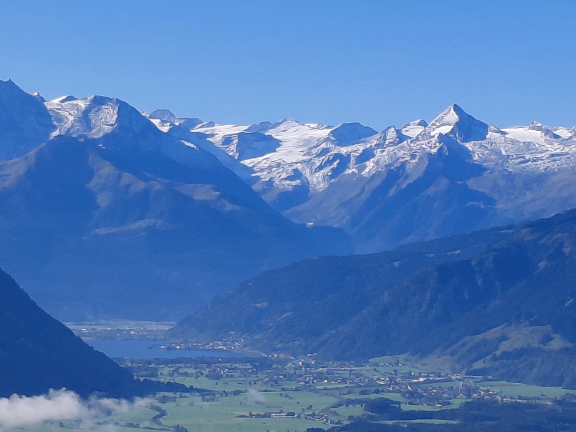
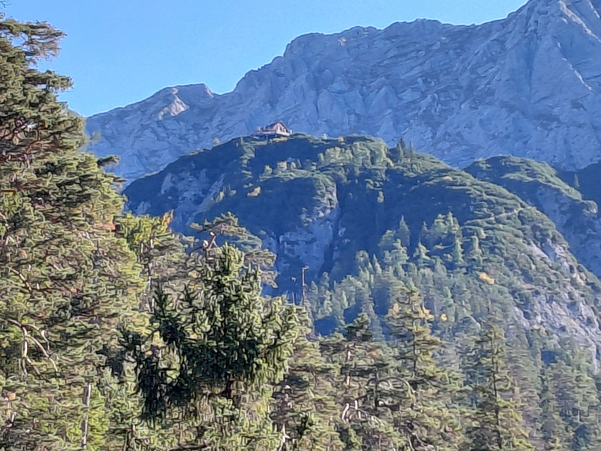
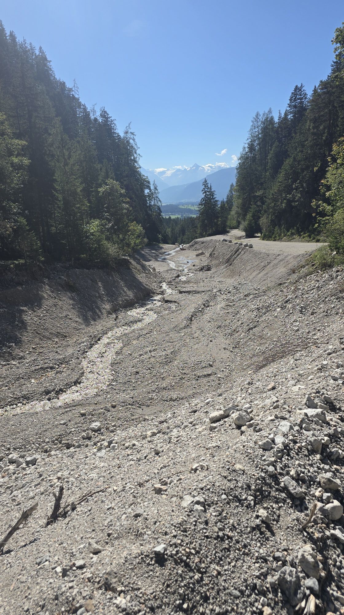
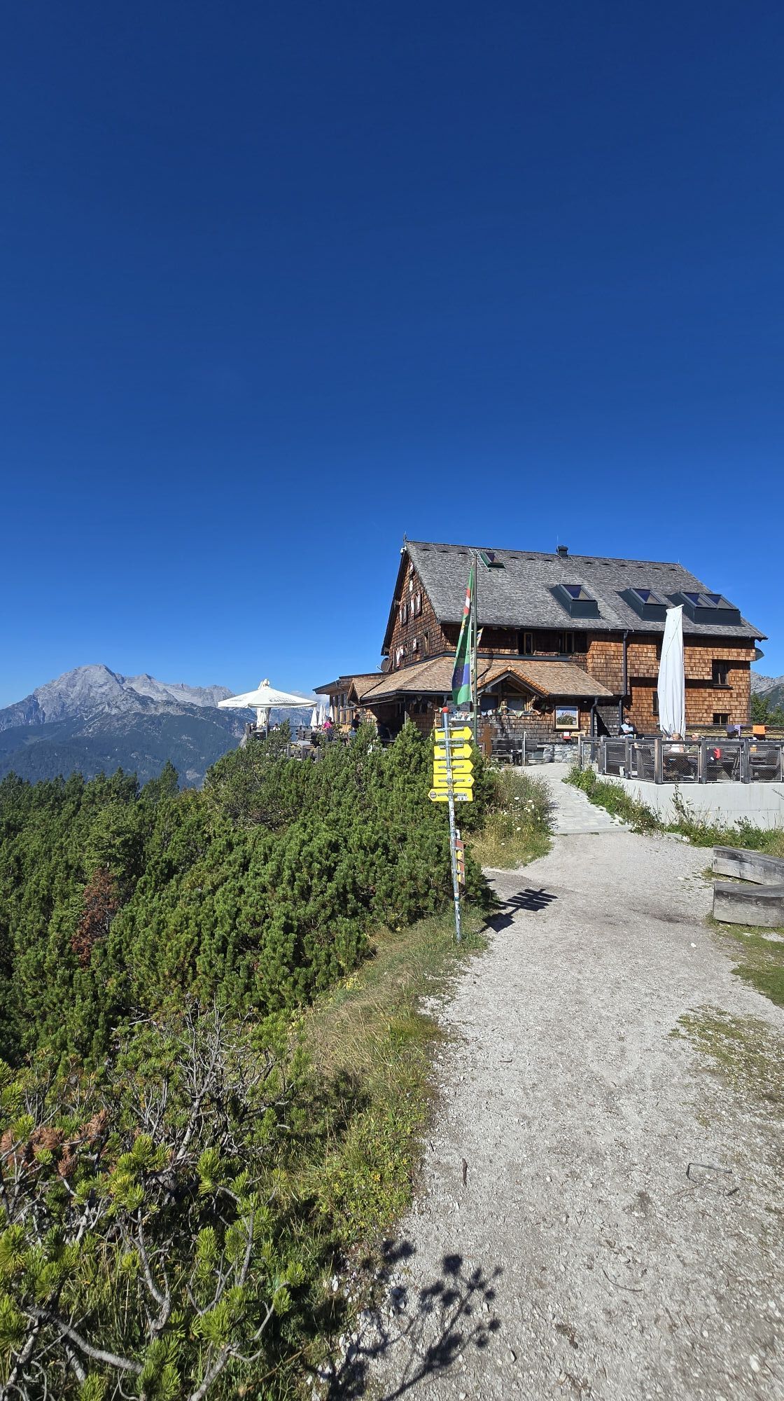
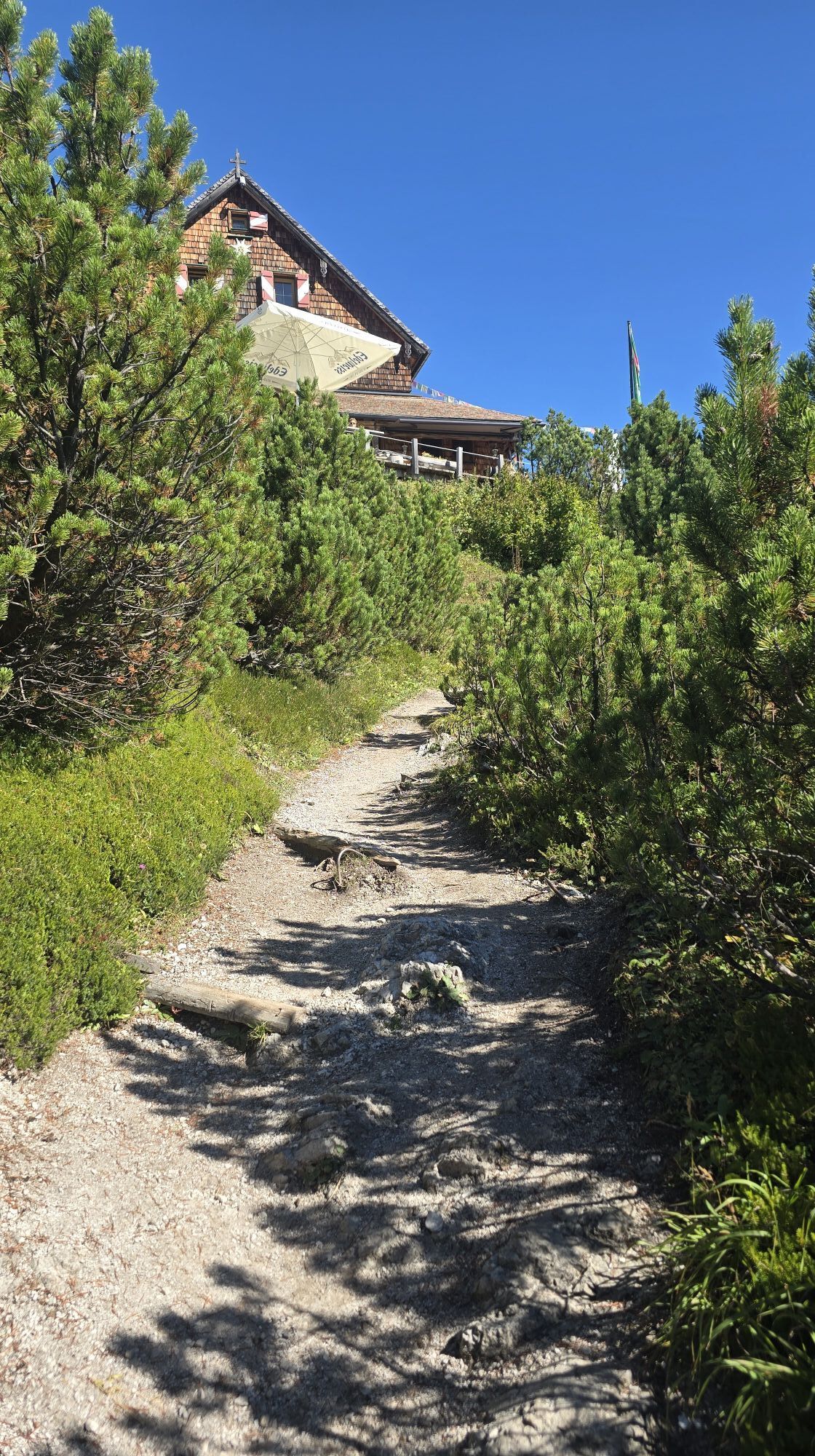
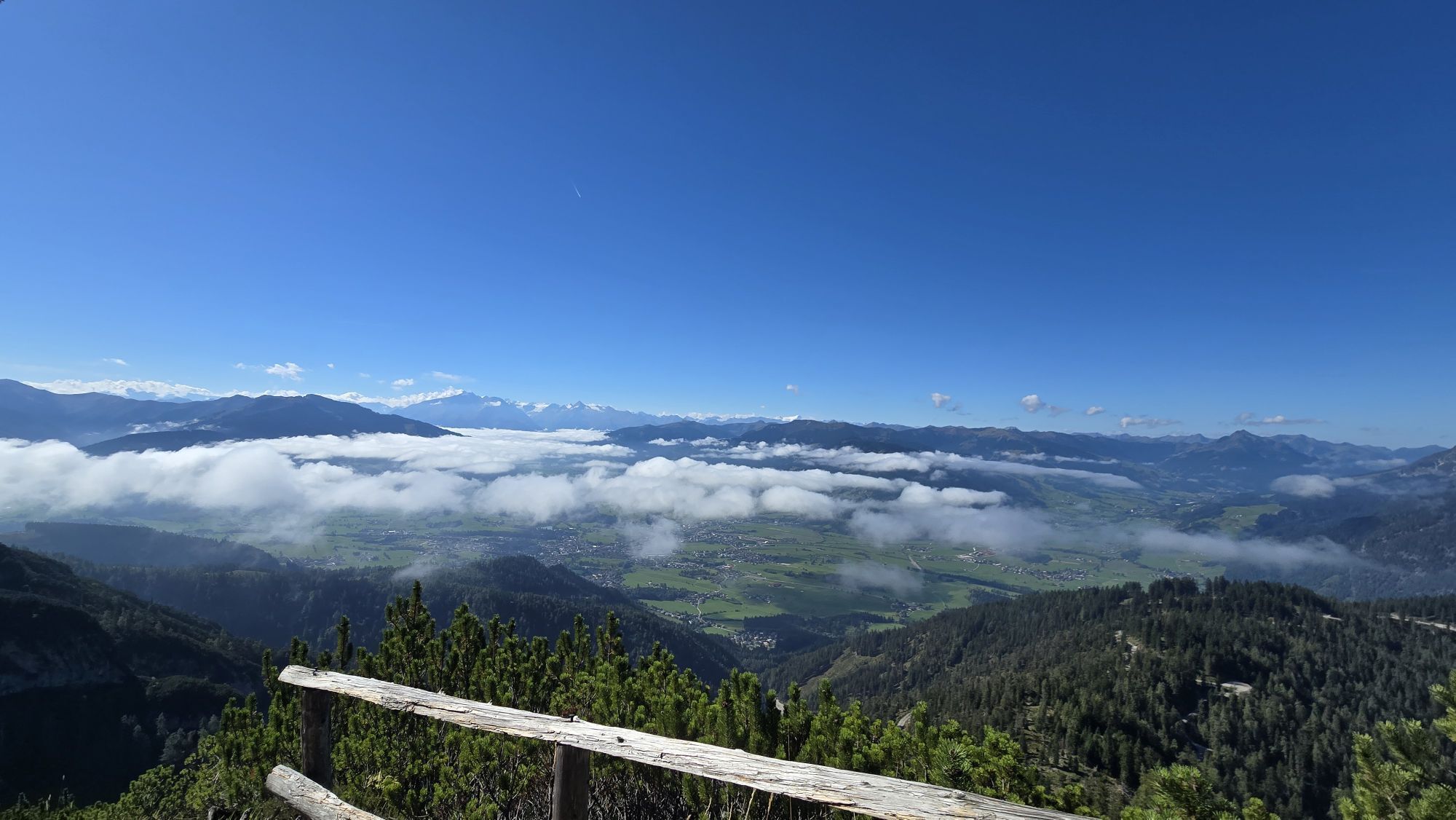
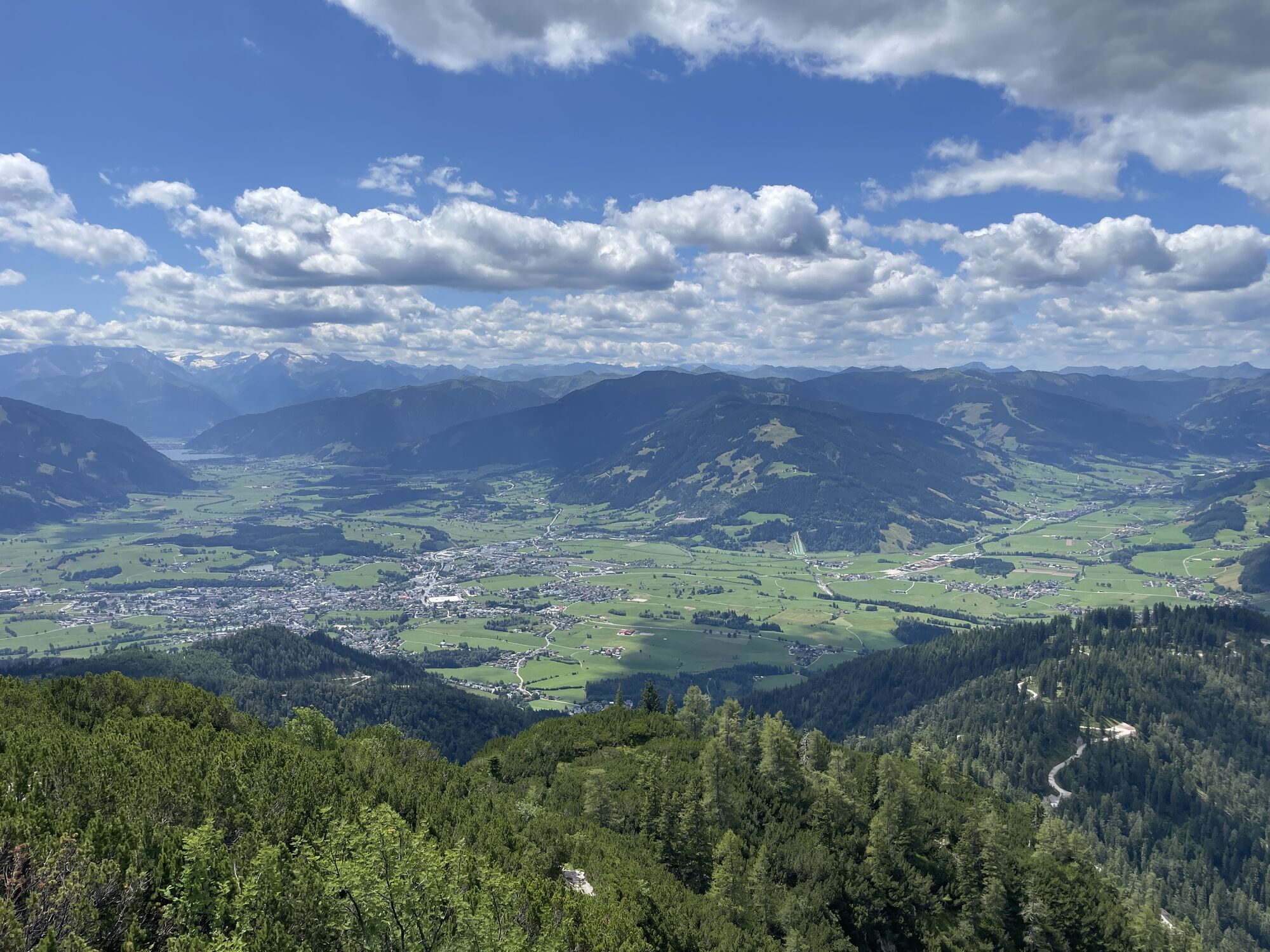
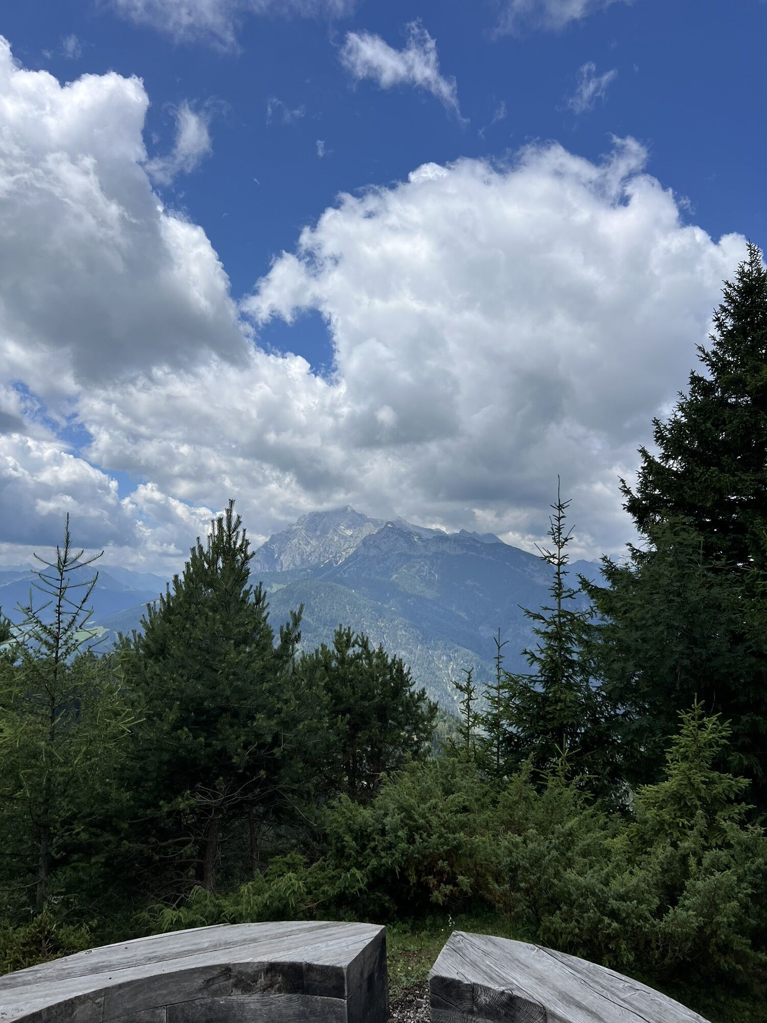
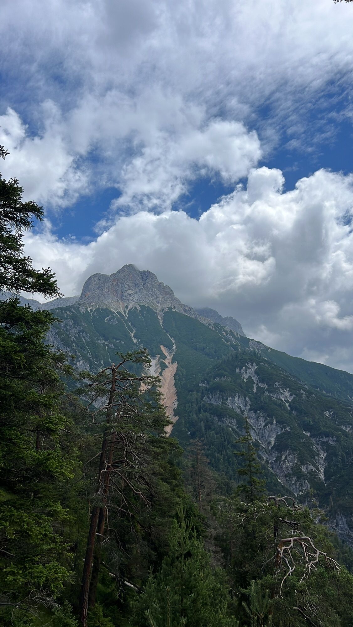
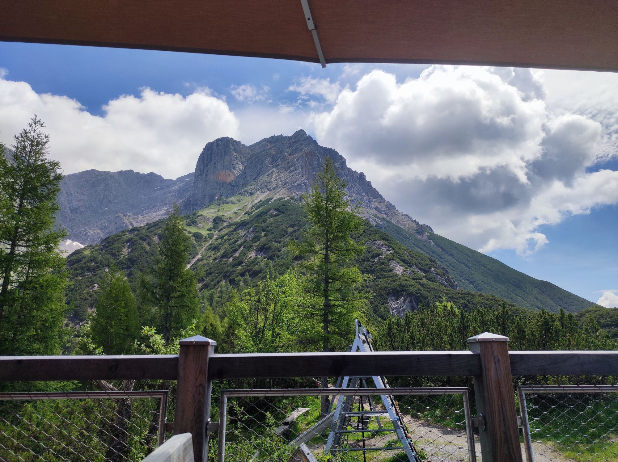
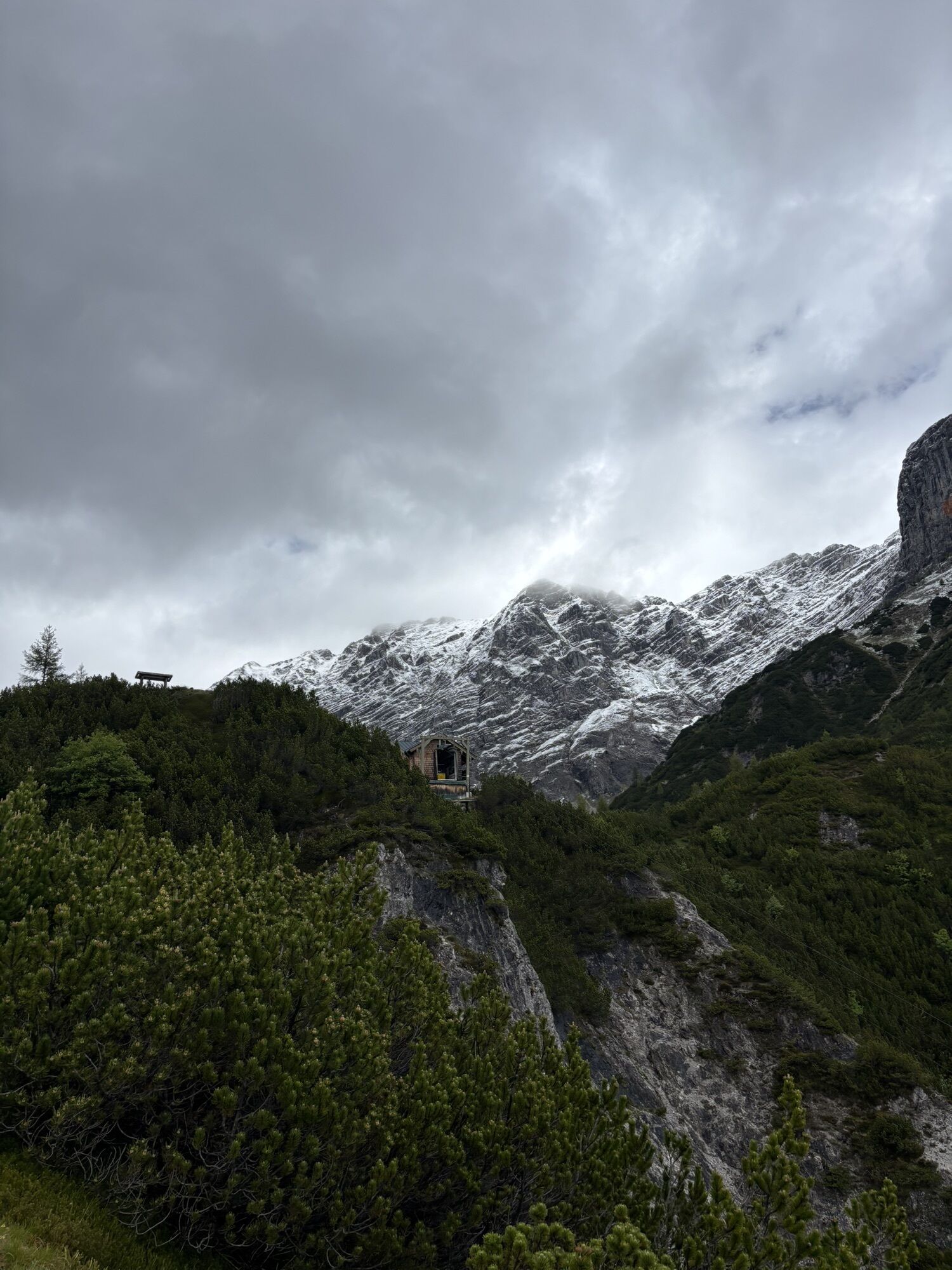
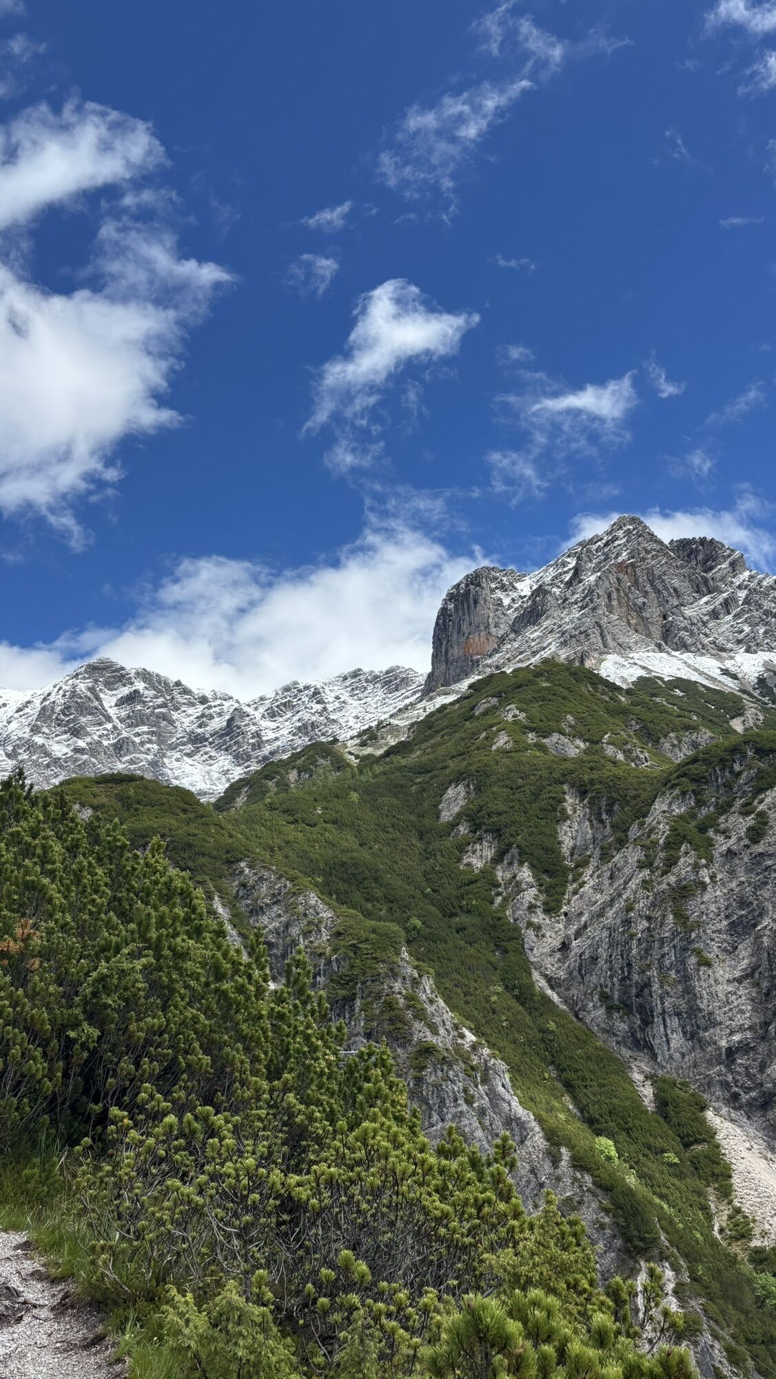
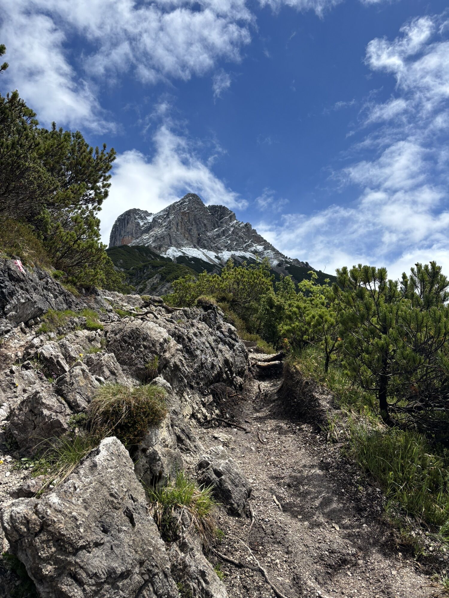
The well-secured via ferrata (including exposed ladders and iron rungs on exposed rock steps) begins above the Peter Wiechentaler Hut on the south side of the Persailhorn.

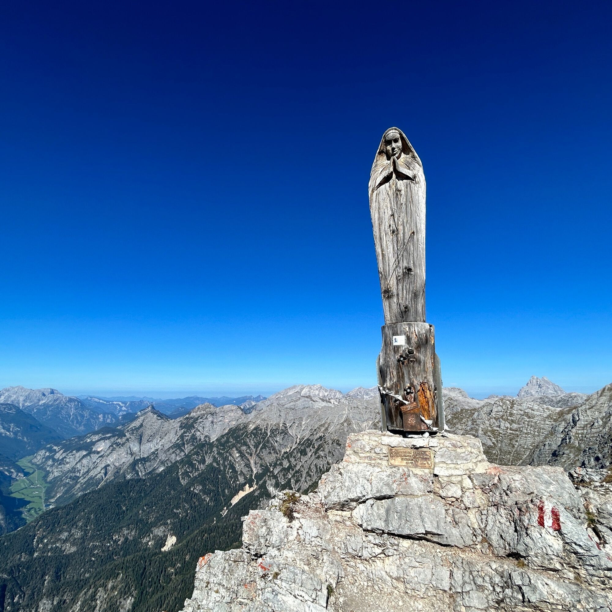
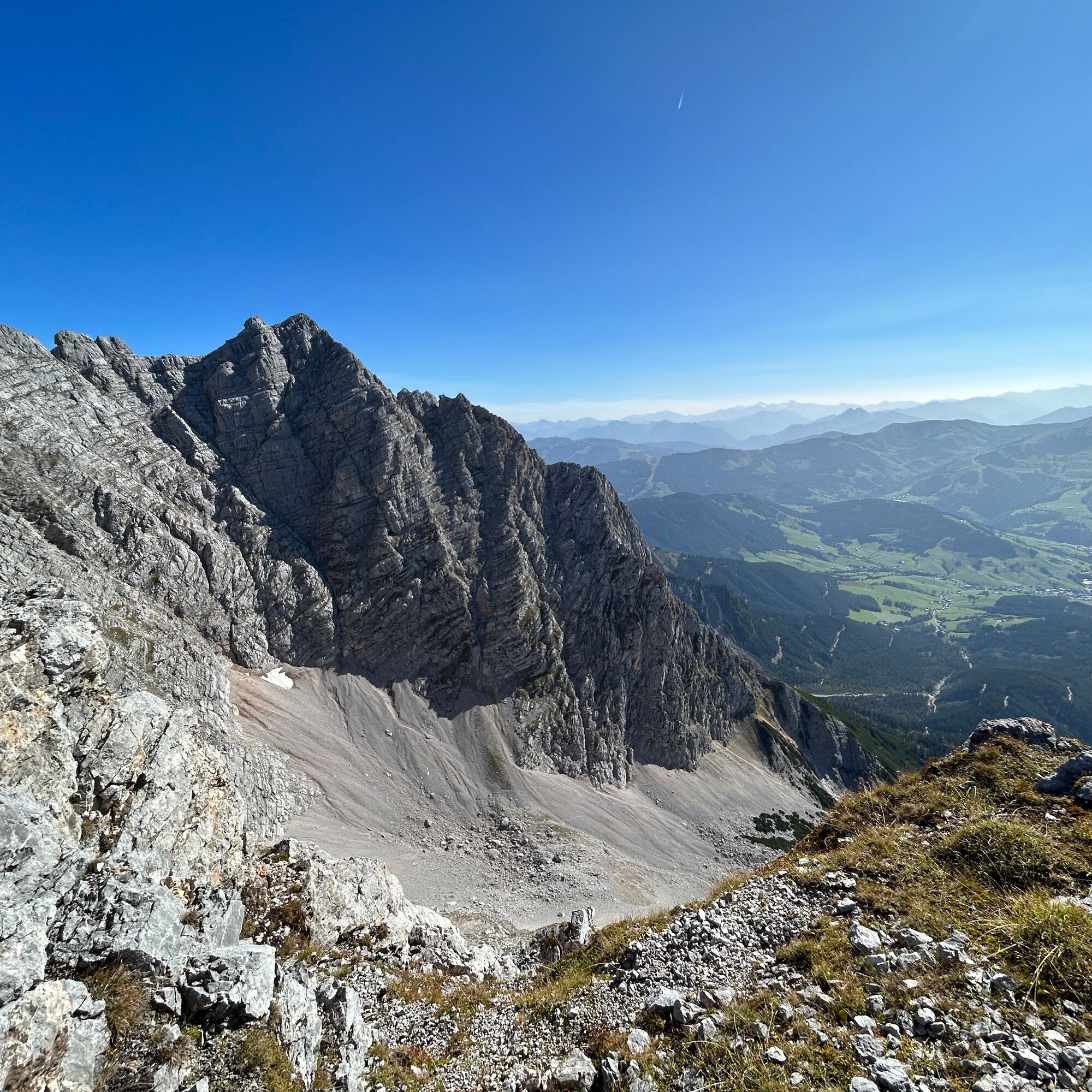
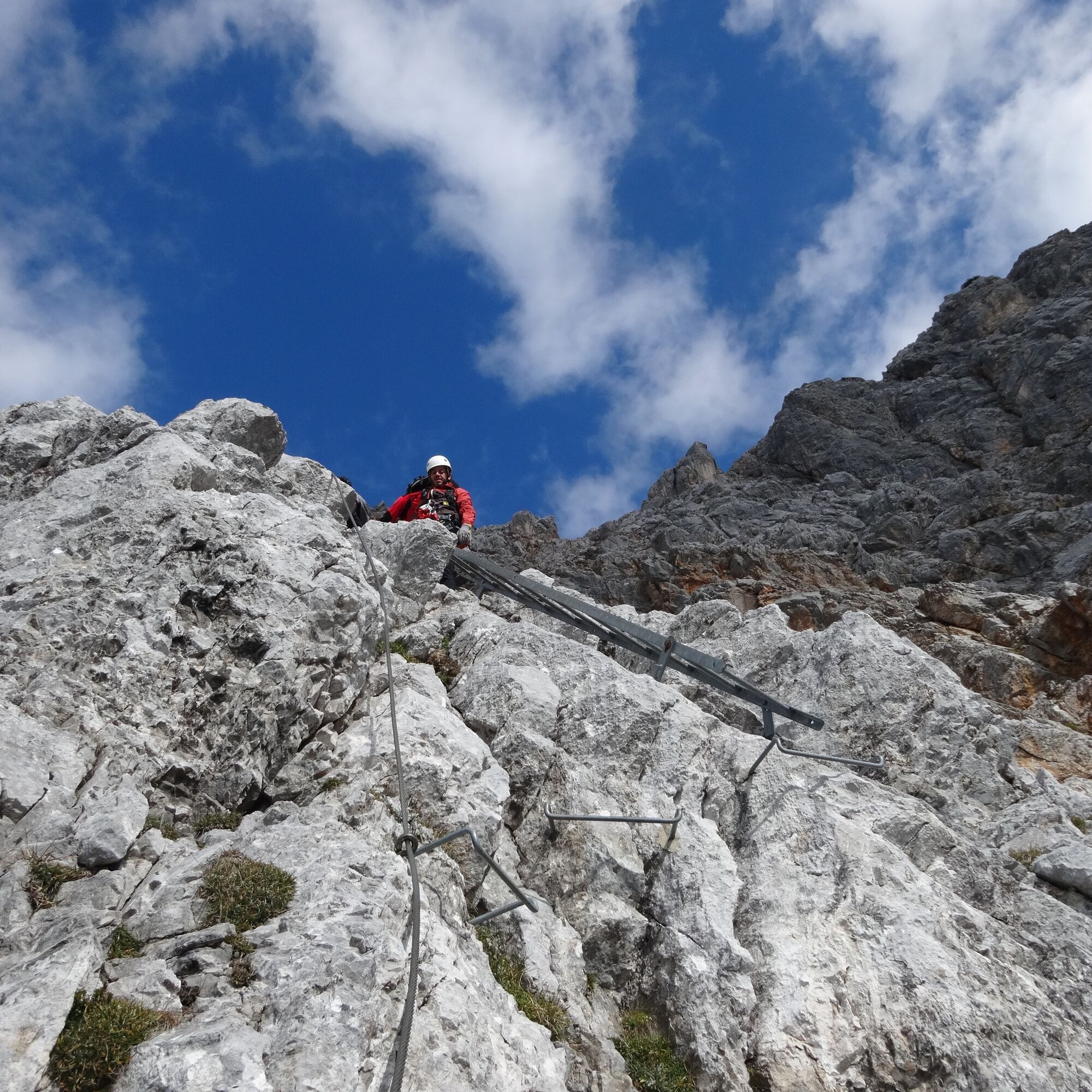
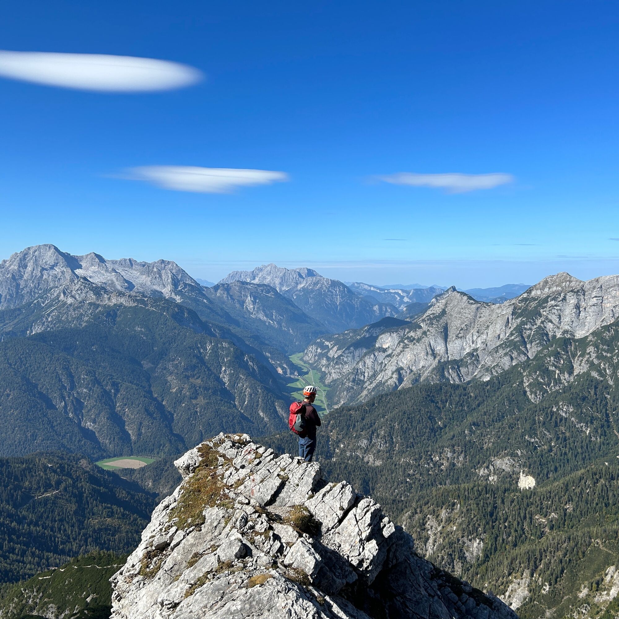

From the Bachwinkel parking lot, follow the signs to the Peter Wiechentaler Hut path no. 412. Continue following the signs for the Persailhorn via ferrata until you reach the entry of the Persailhorn south via ferrata.
Difficulty grade: A/B
Tak
Via ferrata equipment (via ferrata set, harness, and helmet) good footwear
best season summer and autumn
You can reach Saalfelden via the B311 from Lofer or from Zell am See. Before reaching Saalfelden from the north, turn east into the district of Bachwinkl through the settlement to the parking lot at the start of the ascent to the Peter Wiechentaler Hut.
BY TRAIN
Take the train and start to enjoy your vacation as soon as you leave home. Relax and enjoy the view as you travel to Saalfelden Leogang with no traffic to slow you down. Visit the website of the Austrian railway (ÖBB) for schedules and tickets. www.oebb.at
BY BUS
The starting point at the car park Bachwinkl can be reached by bus from the city center of Saalfelden. The bus stop "Saalfelden Hubertus" is located in walking distance to the starting point.
Bachwinkel Saalfelden
A/B
Refreshment option: Peter Wiechentaler Hut
Mountain guide: www.berg-abenteuer.at

Aktywności na trasie
-

Saalfelden am Steinernen Meer, Salzburg/Austria
10.10.2026 – Via ferrata -
Bachwinkl, Salzburg/Österreich
10.10.2026 – Wycieczka wysokogórska -
Saalfelden am Steinernen Meer, Salzburg/Österreich
09.10.2026 – Wędrówka -

Bachwinkl, Salzburg/Österreich
07.10.2026 – Wędrówka -

Bachwinkl, Salzburg/Österreich
07.10.2026 – Wędrówka -

Saalfelden am Steinernen Meer, Salzburg/Österreich
03.10.2026 – Wędrówka -
Kienalkopf, Salzburg/Österreich
20.09.2026 – Wycieczki górskie -
Bachwinkl, Salzburg/Österreich
18.09.2026 – Wycieczki górskie -

Kienalkopf, Salzburg/Österreich
13.09.2026 – Wędrówka -
Bachwinkl, Salzburg/Österreich
13.09.2026 – Wędrówka -

Saalfelden am Steinernen Meer, Salzburg/Österreich
13.09.2026 – Wędrówka -
Saalfelden am Steinernen Meer, Salzburg/Österreich
04.09.2026 – Wycieczki górskie -
Bachwinkl, Salzburg/Österreich
04.09.2026 – Wycieczki górskie -
Bachwinkl, Salzburg/Österreich
04.09.2026 – Wędrówka -
Saalfelden am Steinernen Meer, Salzburg/Österreich
03.09.2026 – Wędrówka -

Saalfelden am Steinernen Meer, Salzburg/Österreich
30.08.2026 – Wędrówka -

Bachwinkl, Salzburg/Österreich
26.08.2026 – Wędrówka -
Bachwinkl, Salzburg/Österreich
22.08.2026 – Wędrówka -
Saalfelden am Steinernen Meer, Salzburg/Österreich
15.08.2026 – Wędrówka -
Bachwinkl, Salzburg/Österreich
15.08.2026 – Wędrówka
Popularne wycieczki w okolicy
-
4,4
Maria Alm - Riemannhaus
Wędrówka 3,99 km -
4,8
Königssee - Kärlinger-Haus
Wędrówka 10,1 km -
4,5
Wimbachgrieshütte
Wędrówka 8,30 km -
4,9
Summit stormer route Lauskopf
ciężkiWędrówka 8,16 km -
4,6
Seisenberg Gorge
światłoWędrówka 2,41 km -
4,4
Schwalbenwand Nr. 80, 81, 82
średniWędrówka 13,0 km -
4,6
Peter-Wiechenthaler Hut
średniWędrówka 4,32 km -
4,6
Steinalm
światłoWędrówka 2,71 km -
5,0
Goldtoni - Wandern - Watzmann - Überschreitung
ciężkiWycieczka wysokogórska 25,3 km -
4,9
Watzmann Überschreitung an einem Tag
ciężkiWędrówka 23,9 km
Wędrówki i tropienie


Nie przegap ofert i inspiracji na następne wakacje
Twój adres e-mail została dodana do listy mailingowej.





