







Hochkönig Hüttenhüpfer Tour 1st Stage

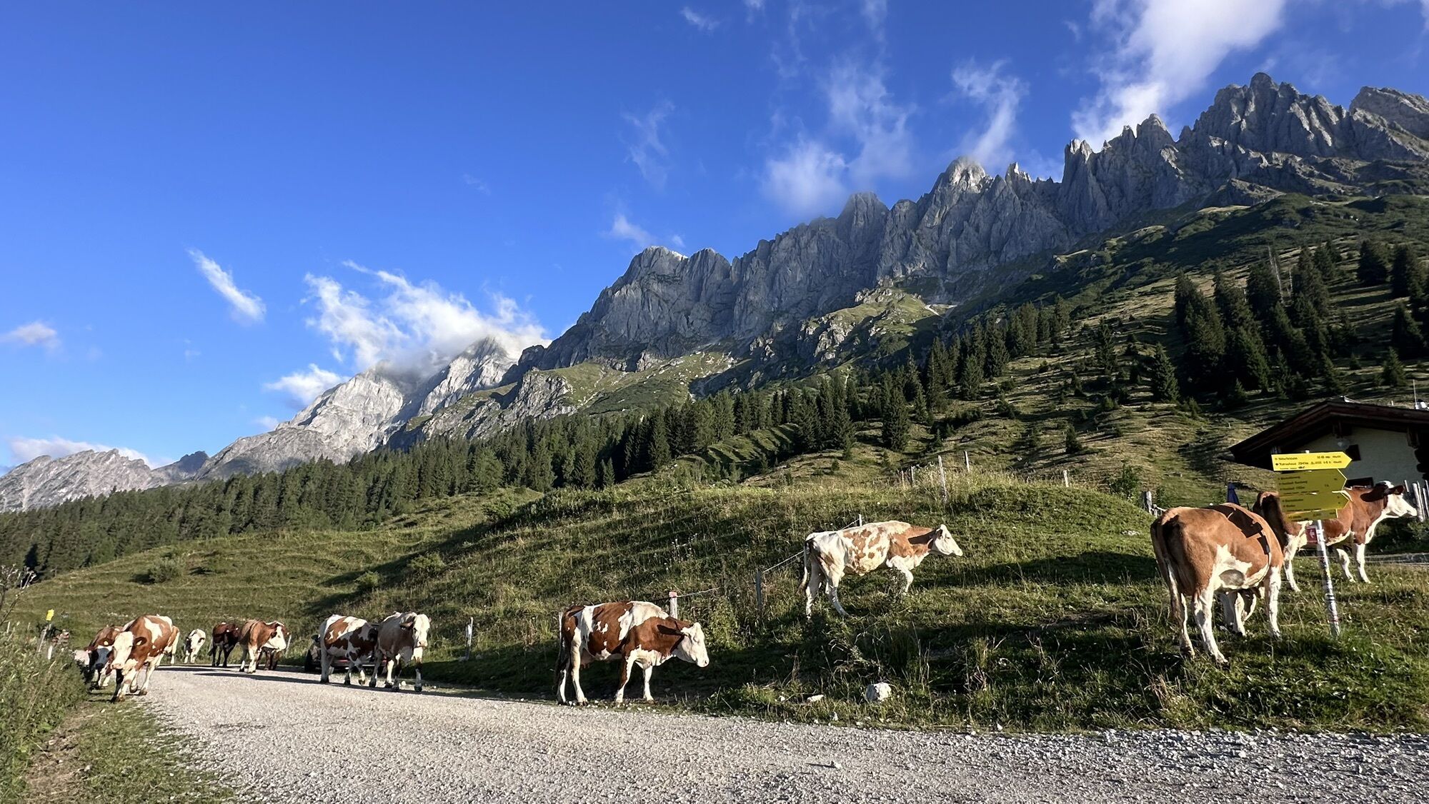
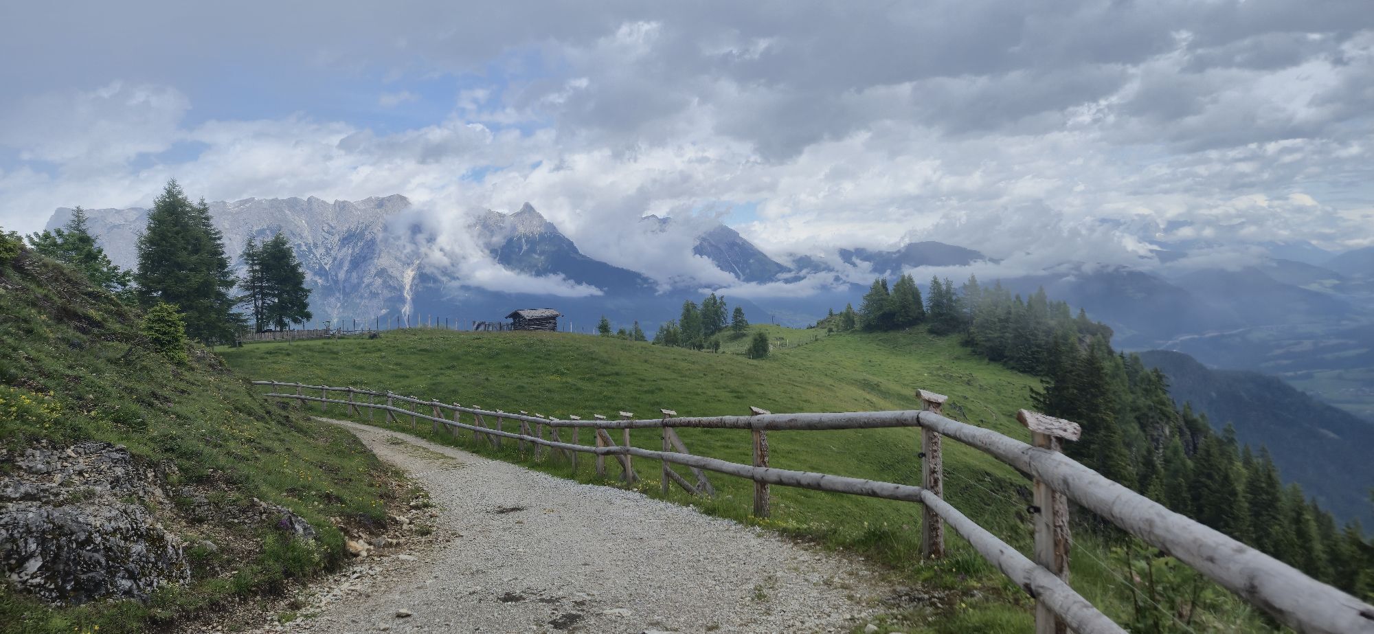
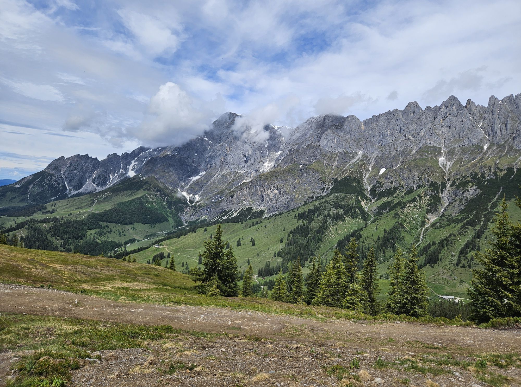
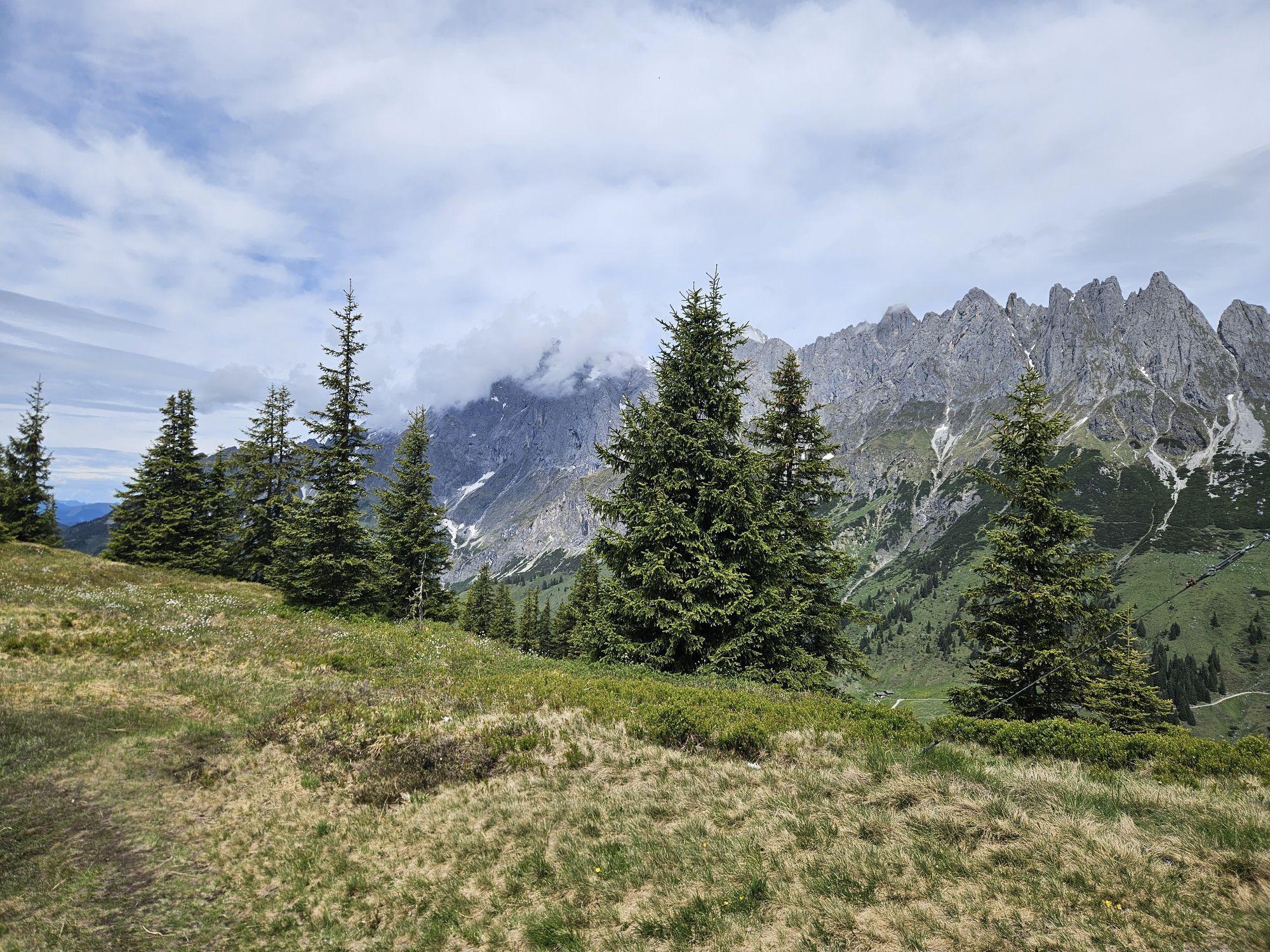
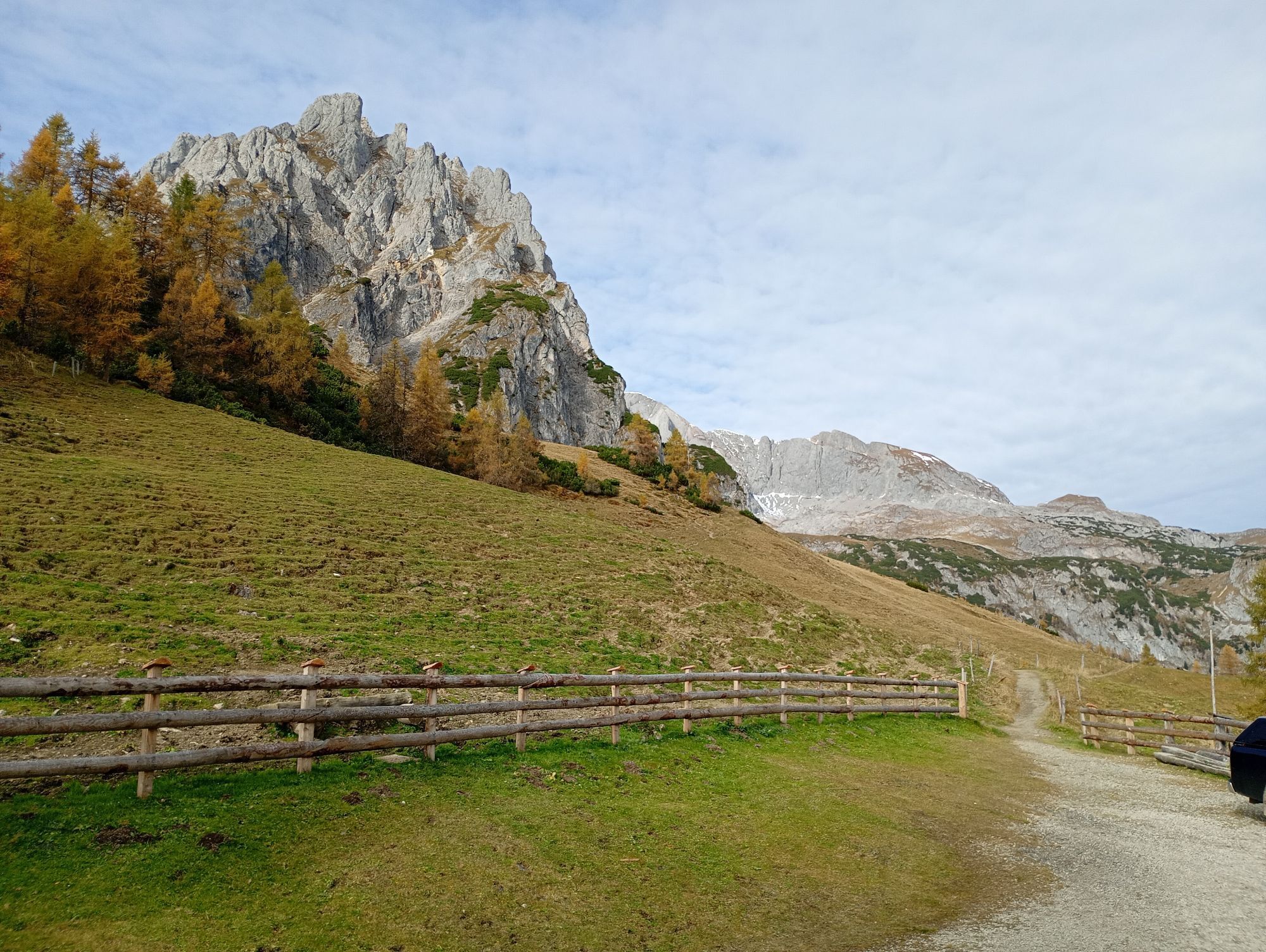
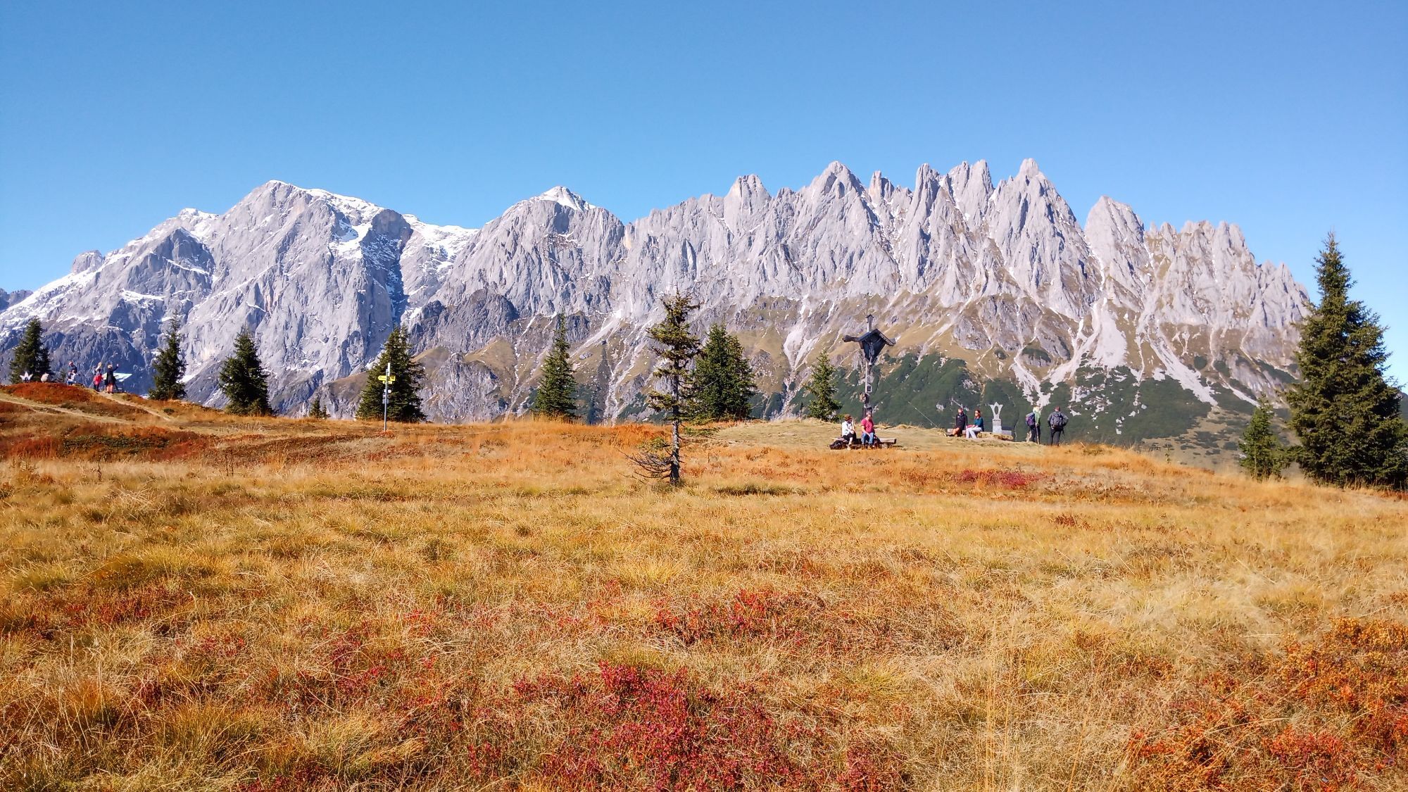
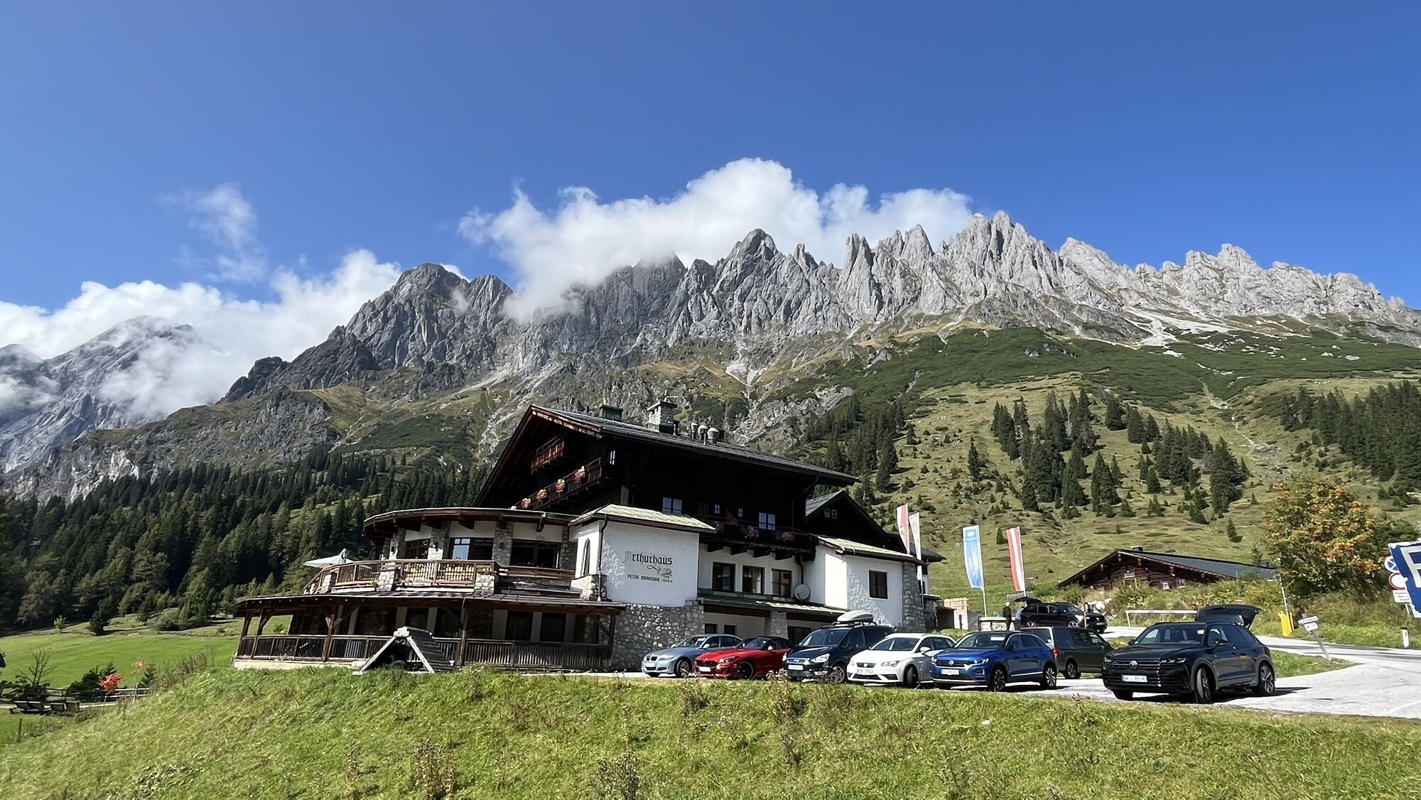
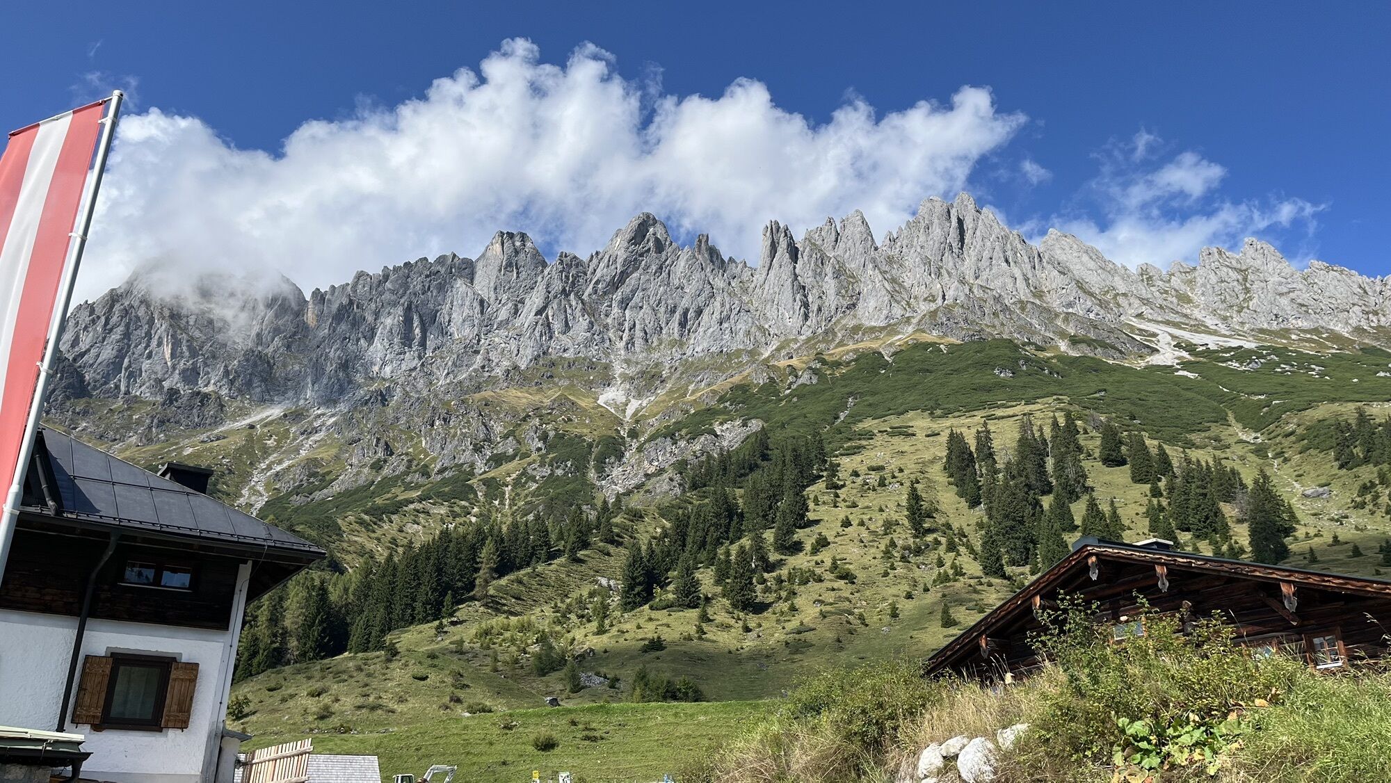
At the Arthurhaus bus stop, you meet Manfred the marmot and his family. Observe and feed the animals. On hiking trail no. 84 past the Schweizerhütte dairy, the cart path leads through a bright forest with...
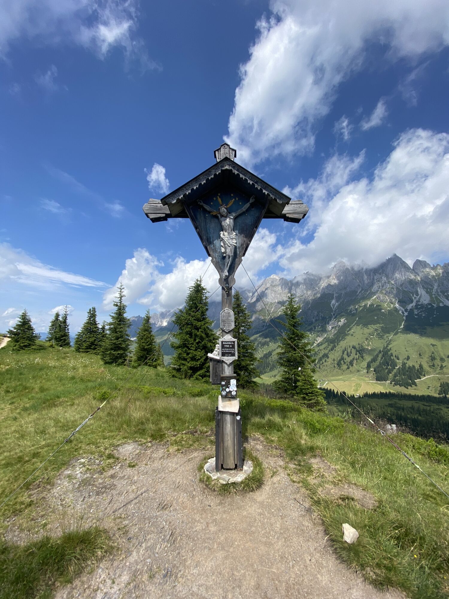
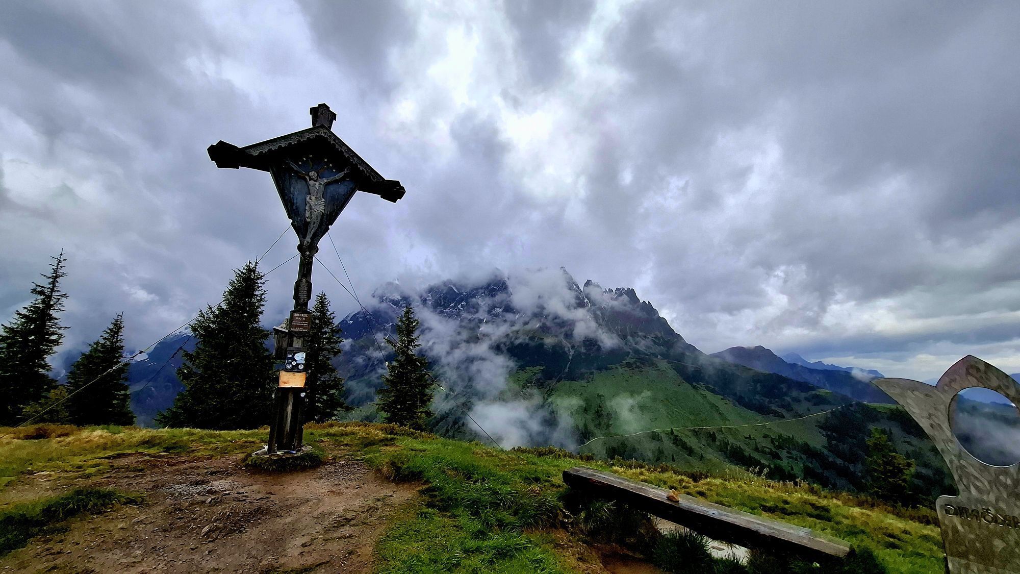
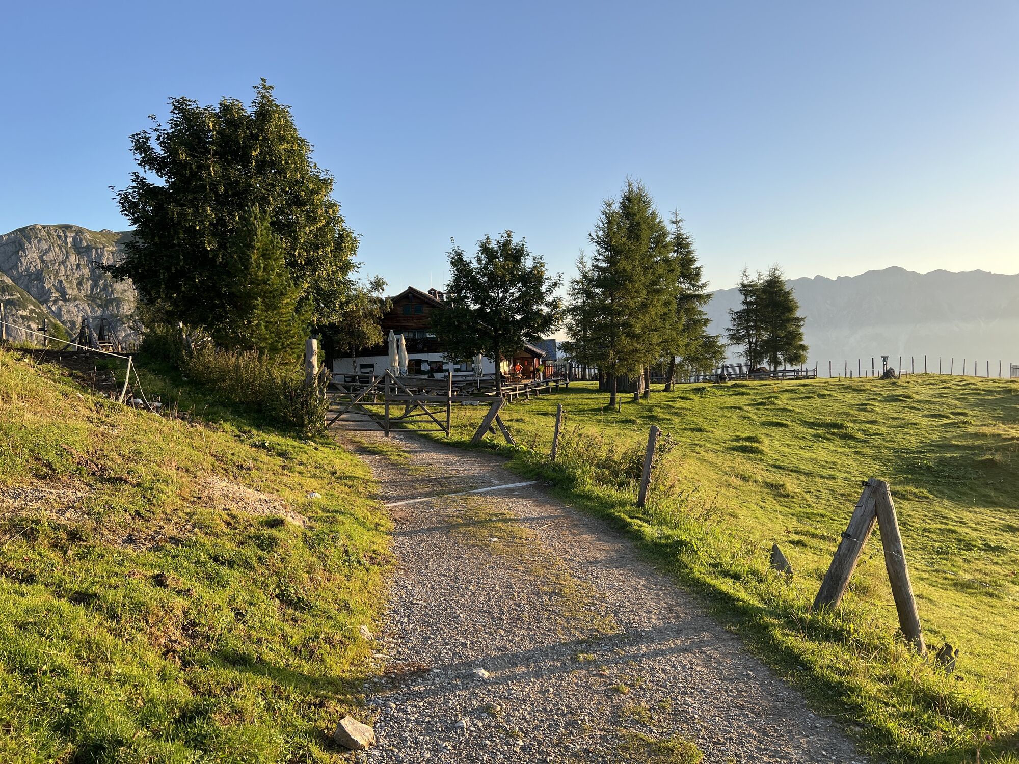
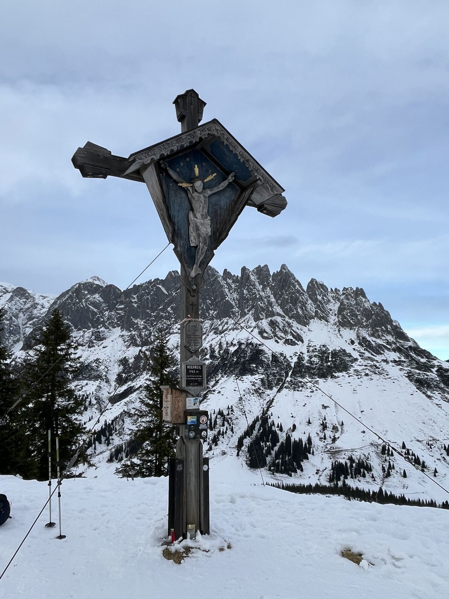
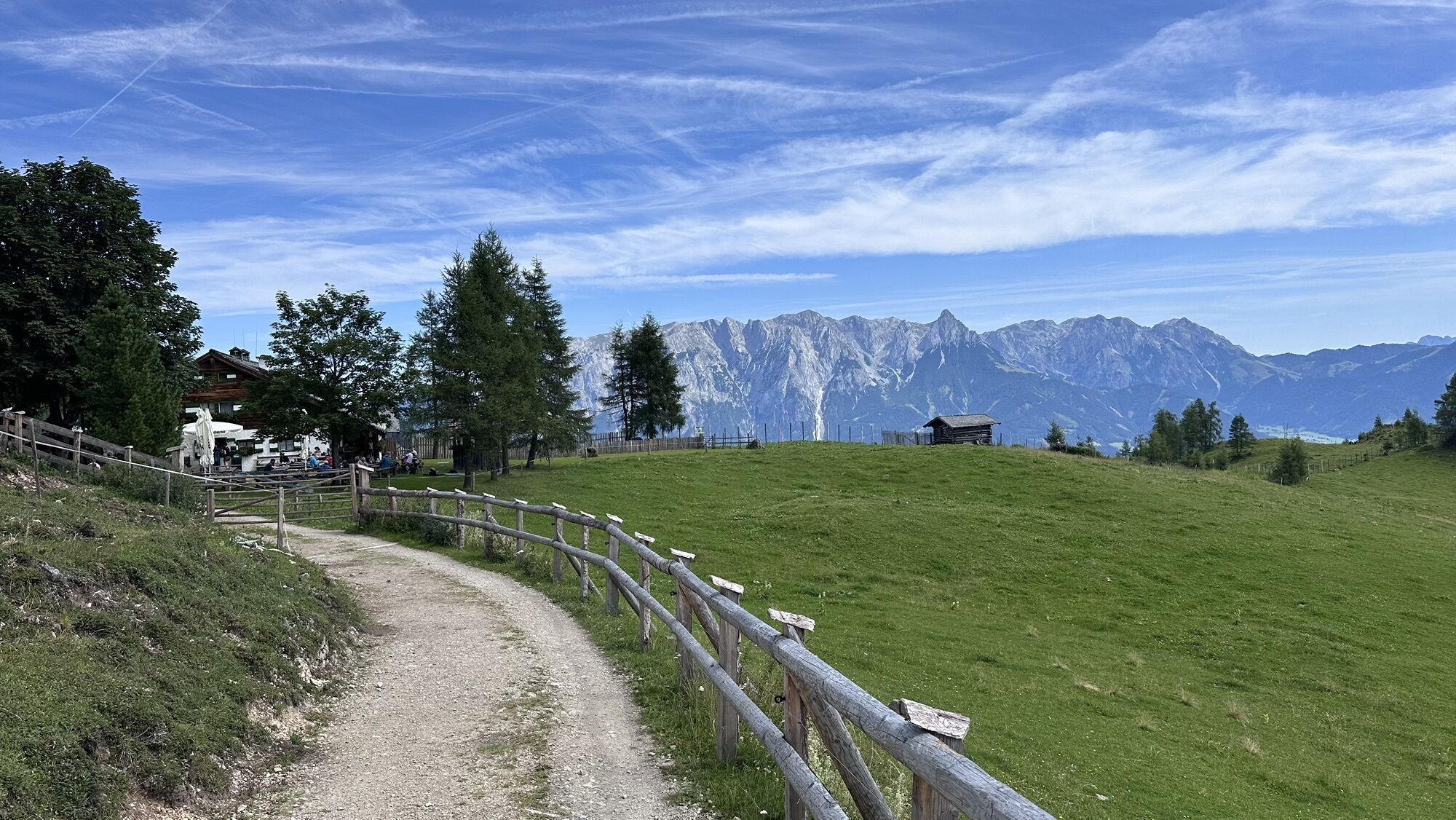
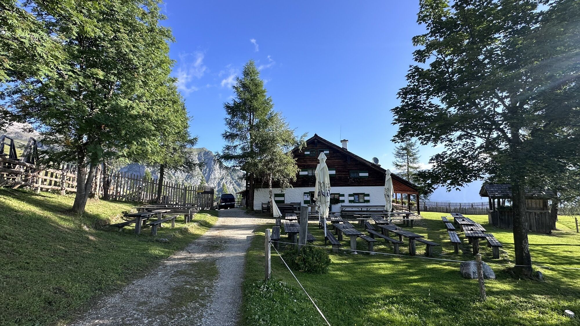
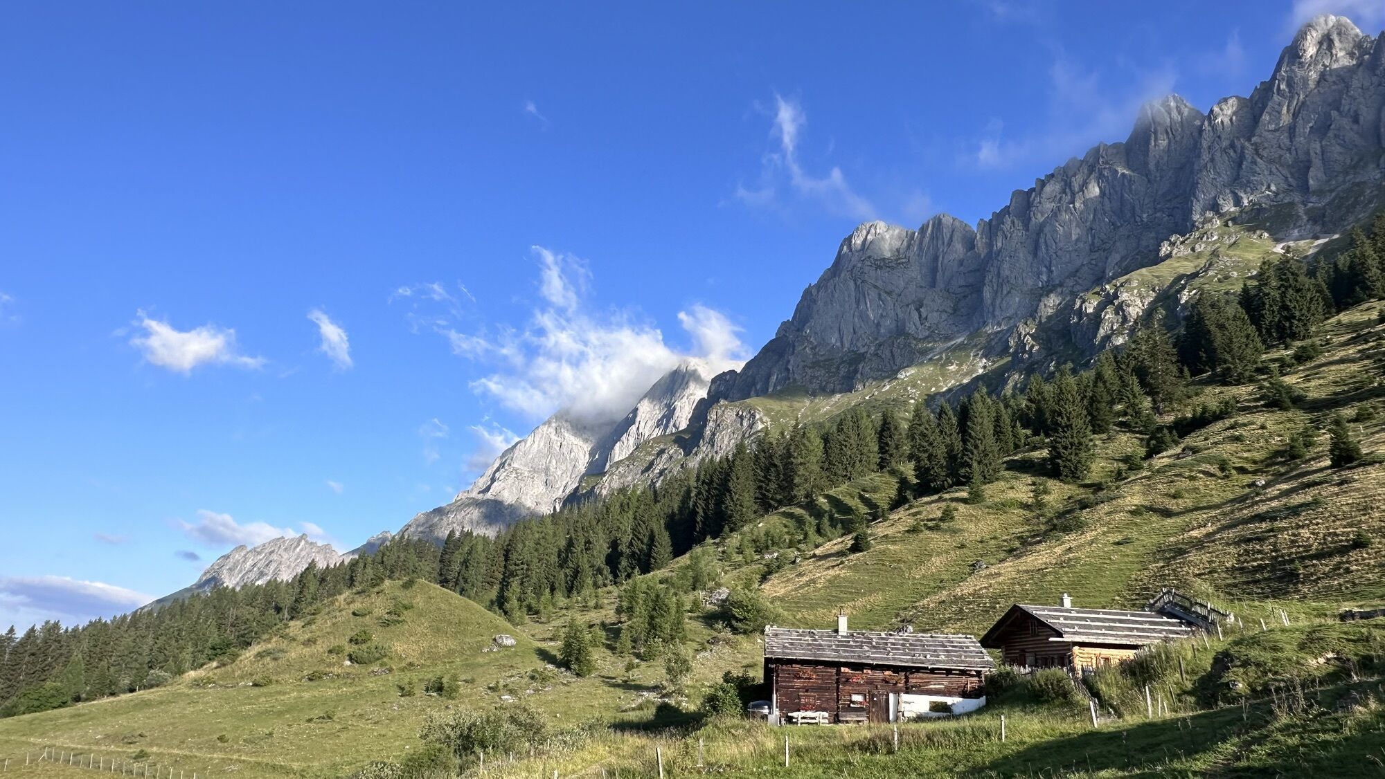
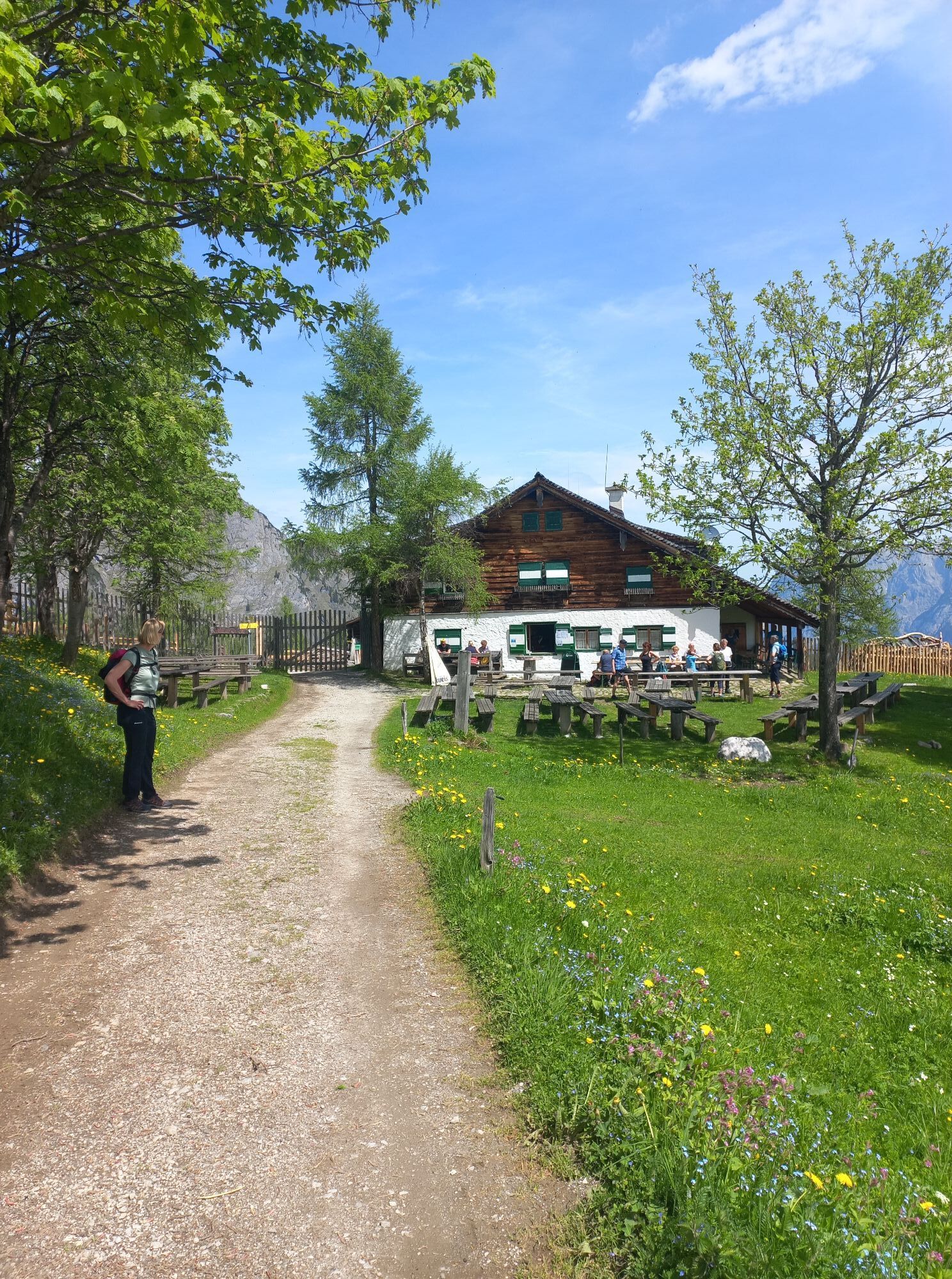
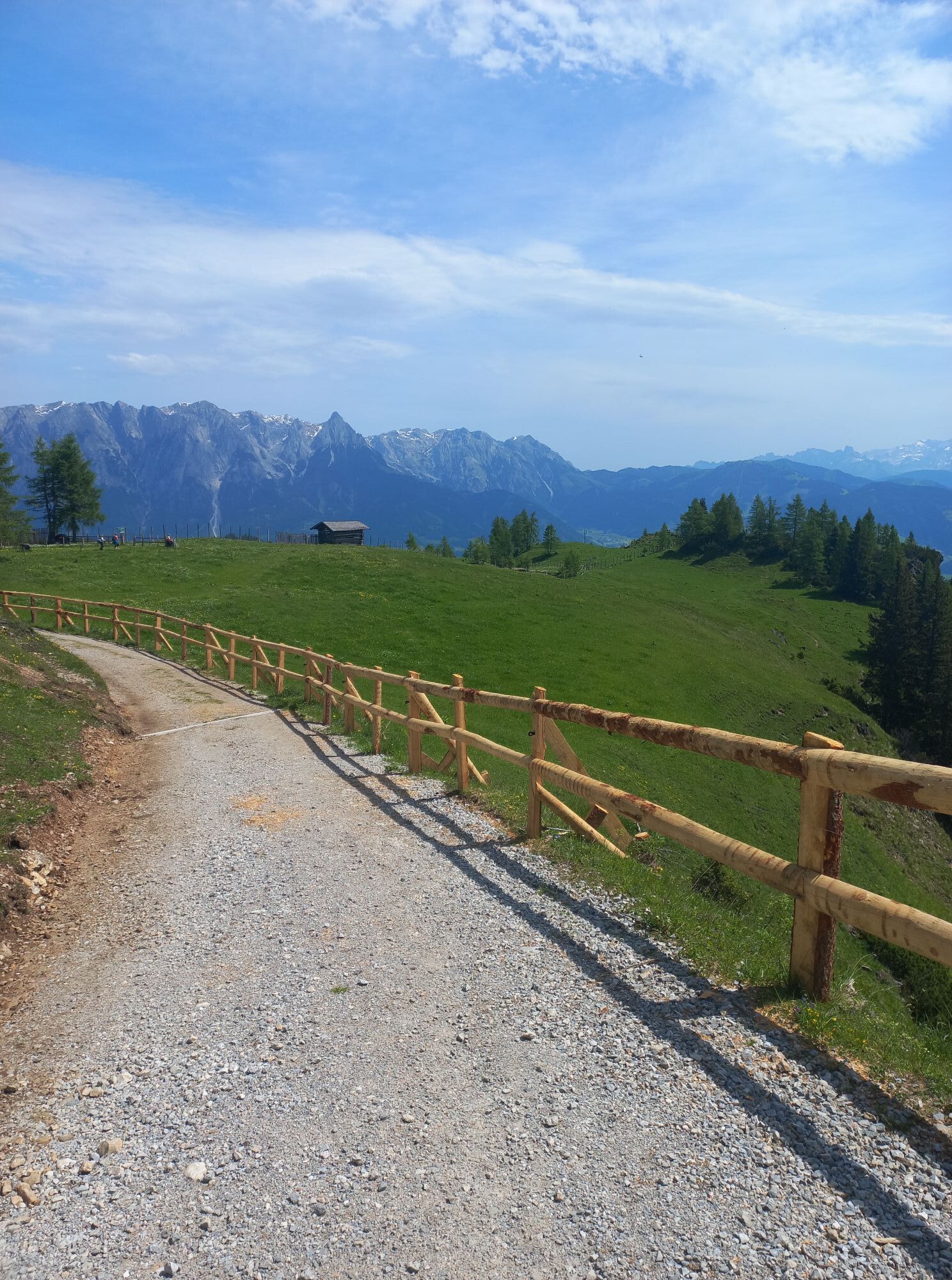
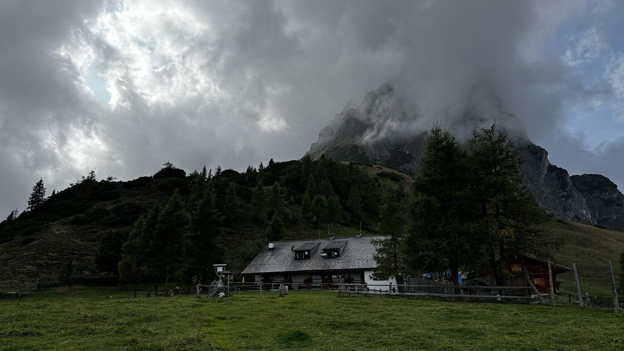
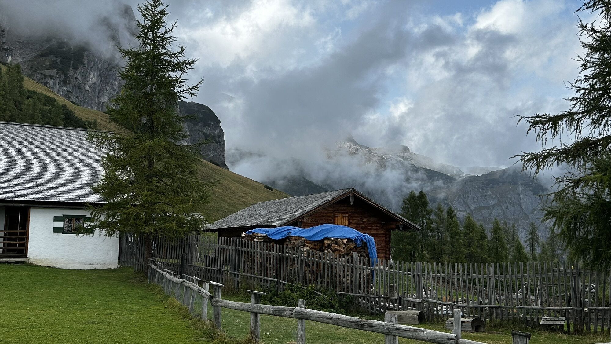
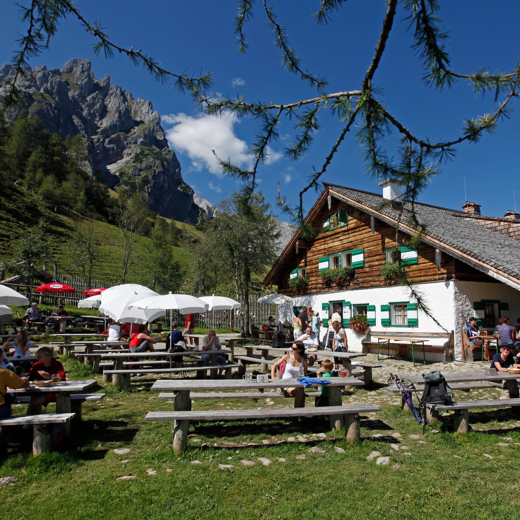
At the Arthurhaus bus stop, you meet Manfred the marmot and his family. Observe and feed the animals. On hiking trail no. 84 past the Schweizerhütte dairy, the cart path leads through a bright forest with views of the Hochkönig massif. After 15 minutes, you reach a photo stop with an idyllic wooden hut and views of the Mandlwände. Here lies the Troiboden with archaeological excavation sites. Trail no. 83 leads you to the Hochkeil. Before that, the "Cinema on the Mountain" offers a magnificent view of the Arthurhaus and the Mitterfeldalm. From the summit, go down to forest road no. 18a with views of Bischofshofen and the Salzach valley. Refresh yourself at the "kaltes Bründl" before following trail no. 83 to the unmanaged Stegalm. The climb through the forest ends at the Mitterfeldalm, your stage destination. For a more comfortable stage, I recommend hiking the Hochkeil and returning the same way. This shortens the walking time by about 2.5 hours.

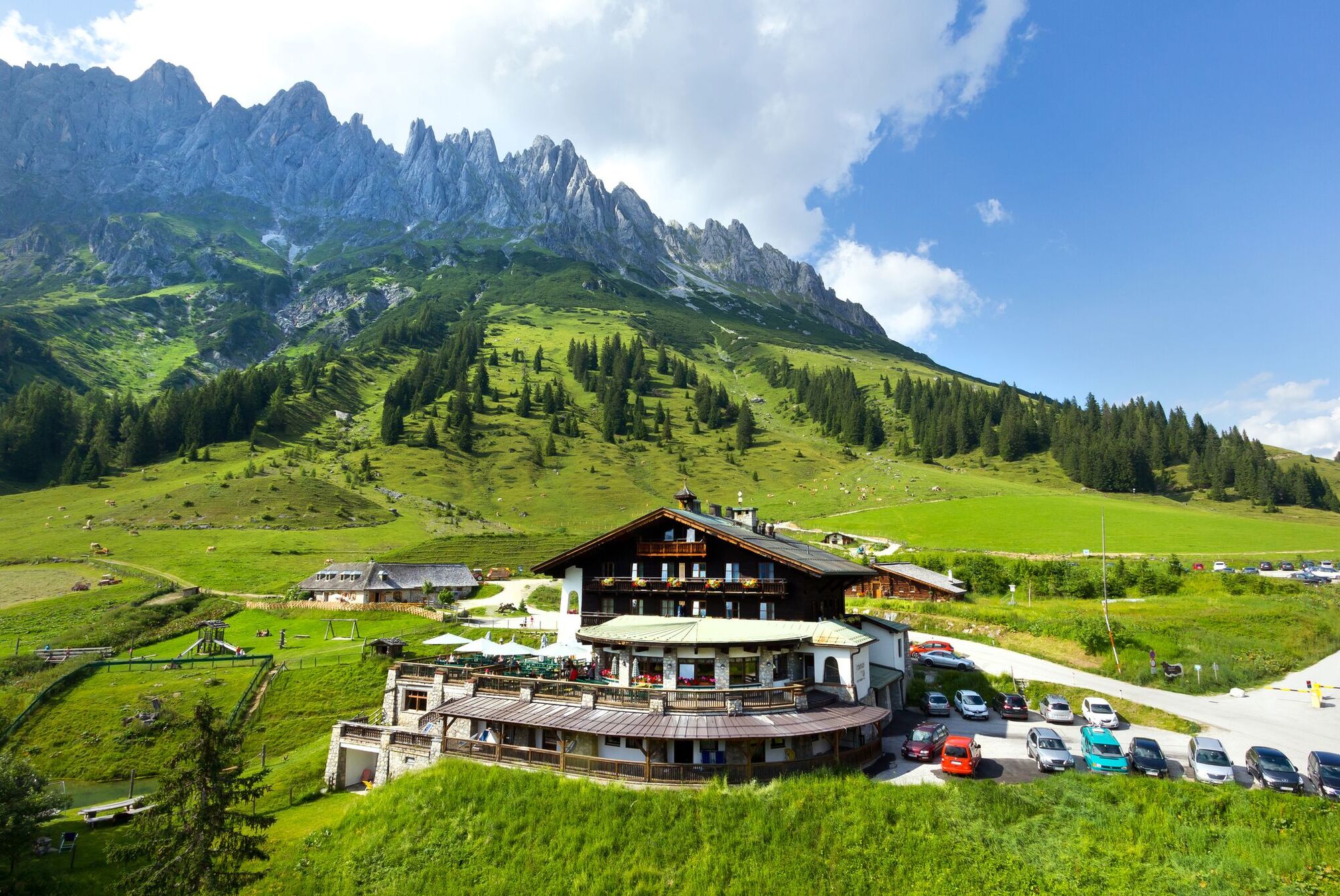
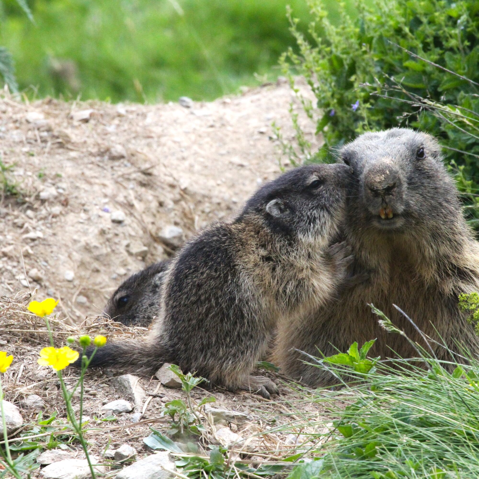
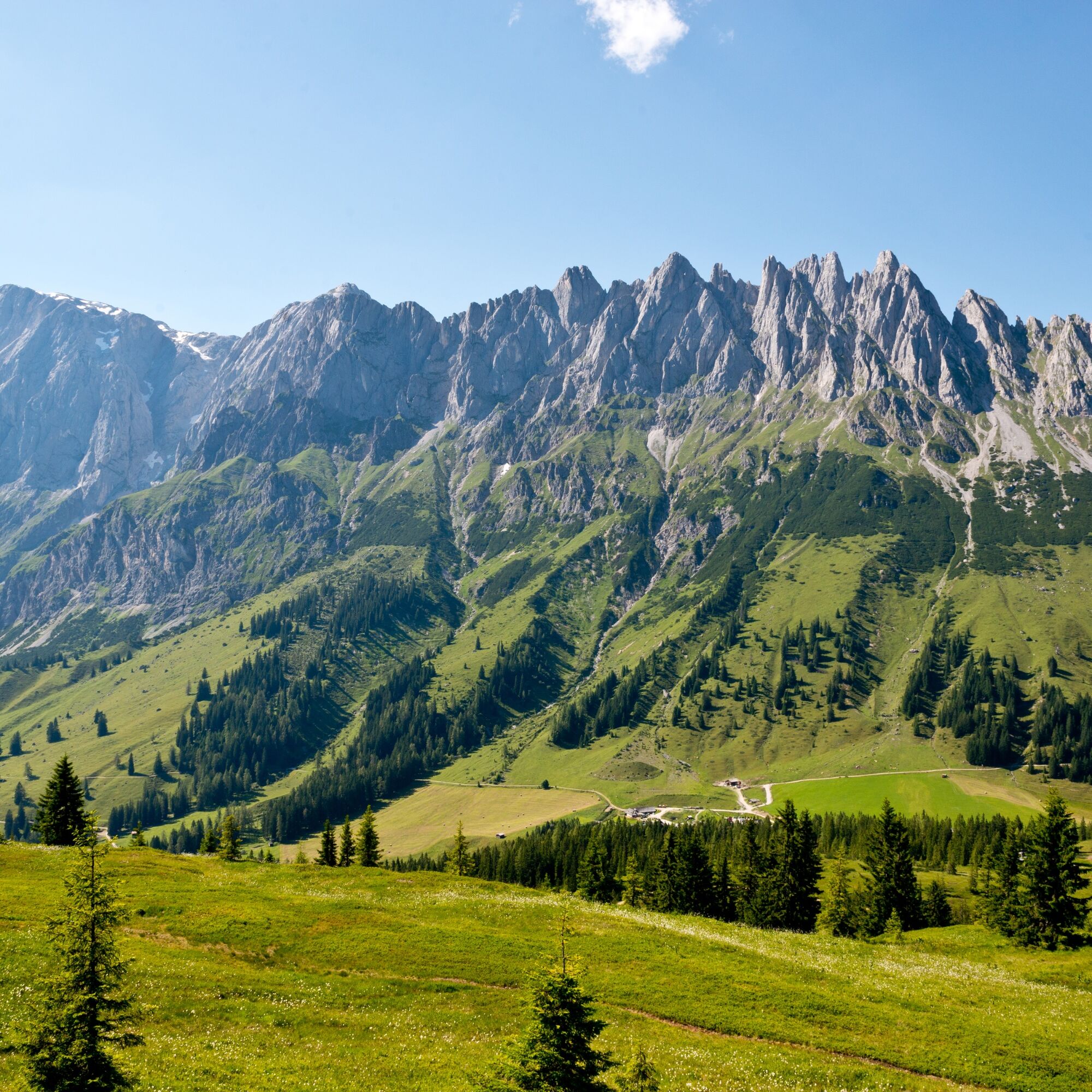
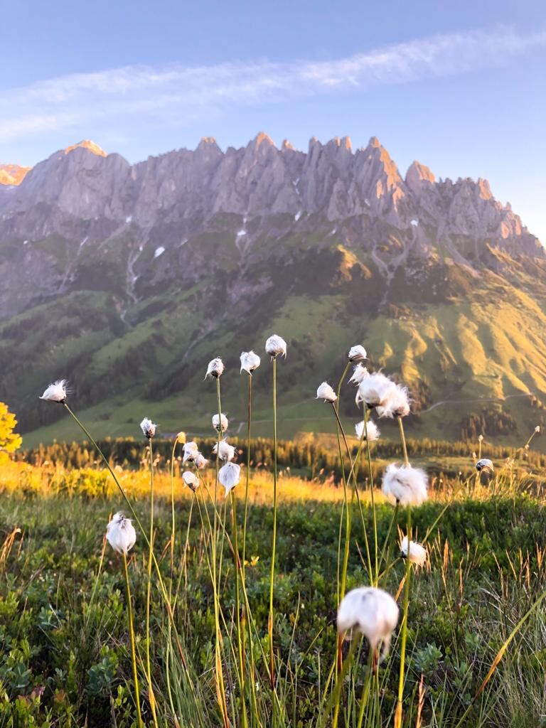
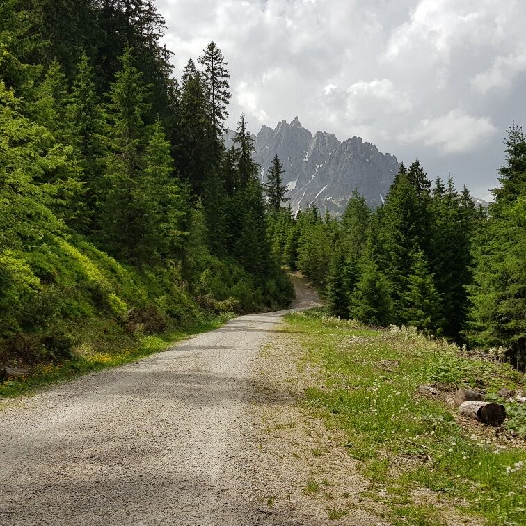

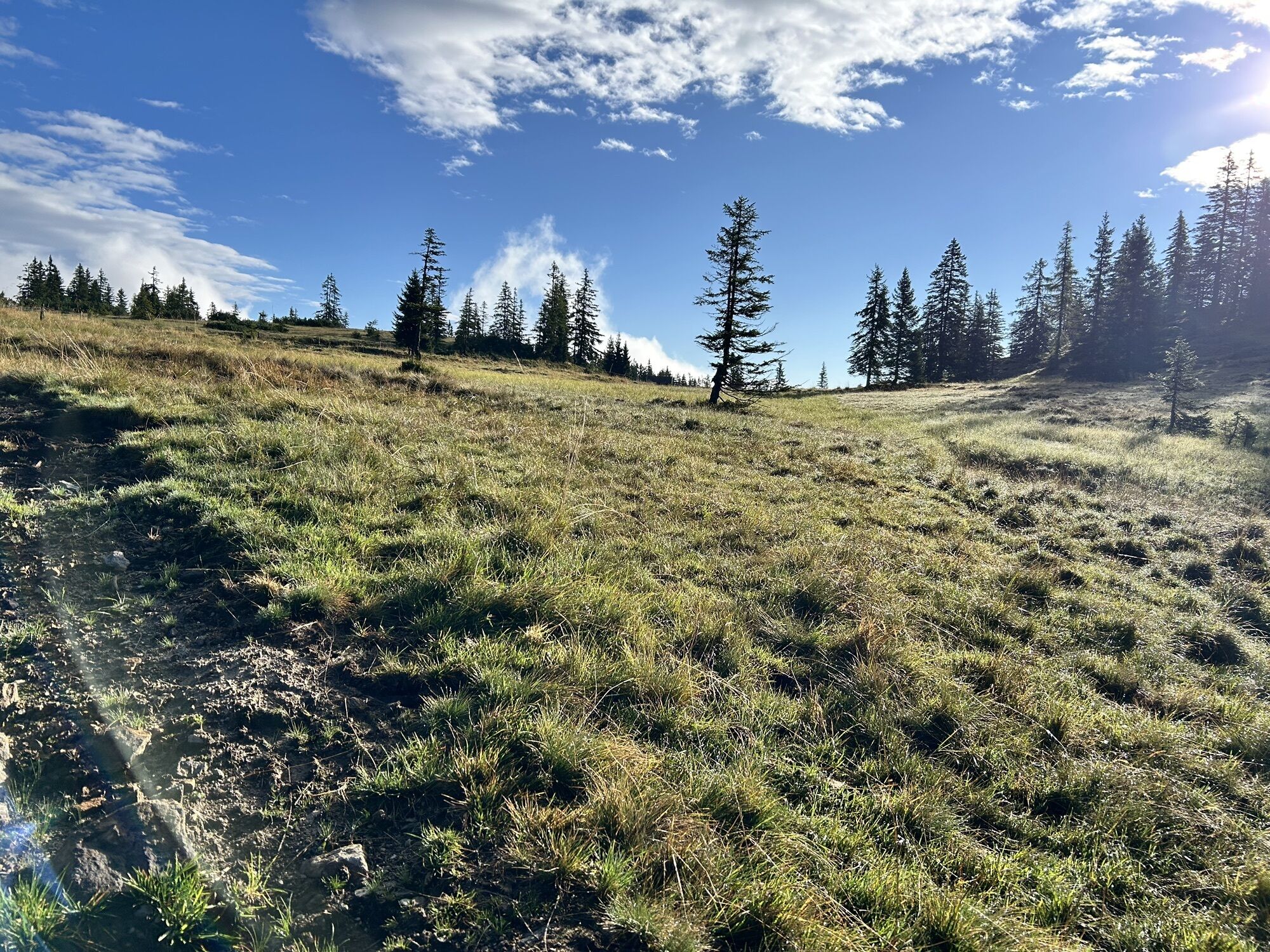
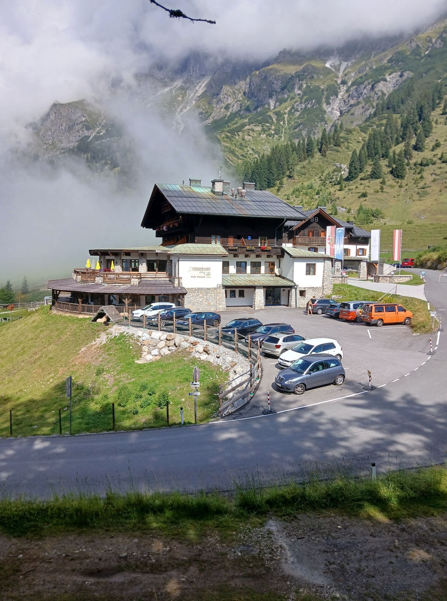
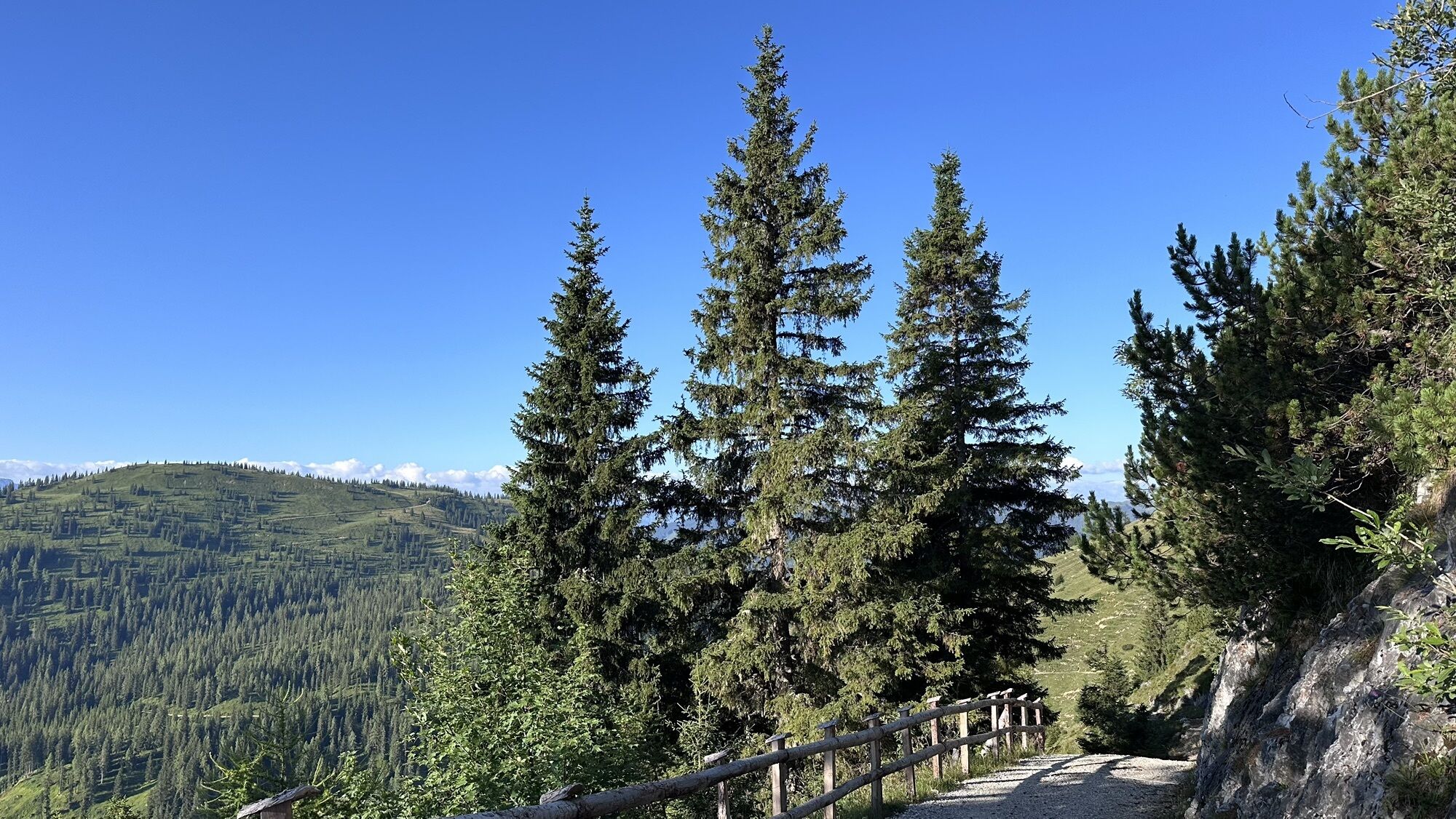
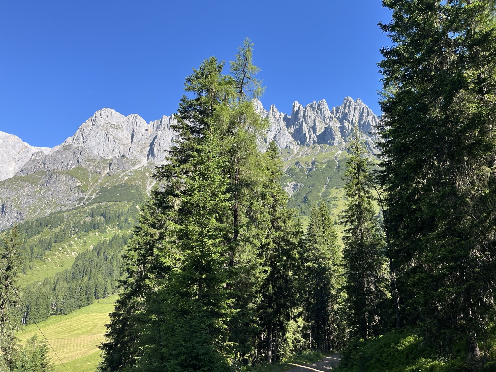
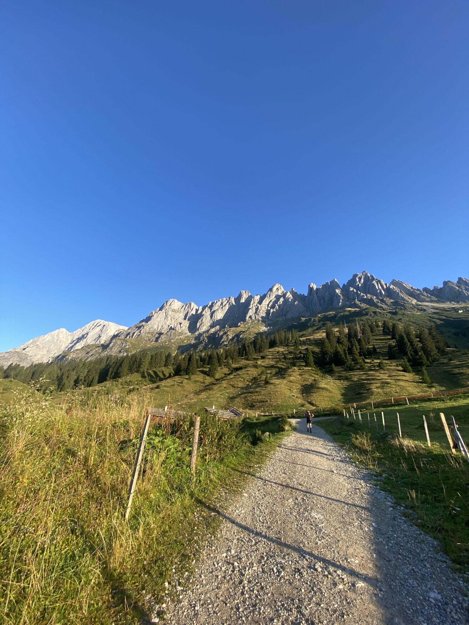
At the Arthurhaus bus stop, you will find Manfred the marmot with his lively marmot family. Before continuing your hike, enjoy the opportunity to observe and feed these charming animals. Continue on hiking trail no. 84 to the right past the Schweizerhütte dairy. In a few meters, always turn right at the following intersections. The cart path leads through a bright forest, offering impressive views of the Hochkönig massif, while occasionally crossing the lift line of the Roßwies lift. In winter, you can even ski on the Hochkeil, with 100% organic snow.
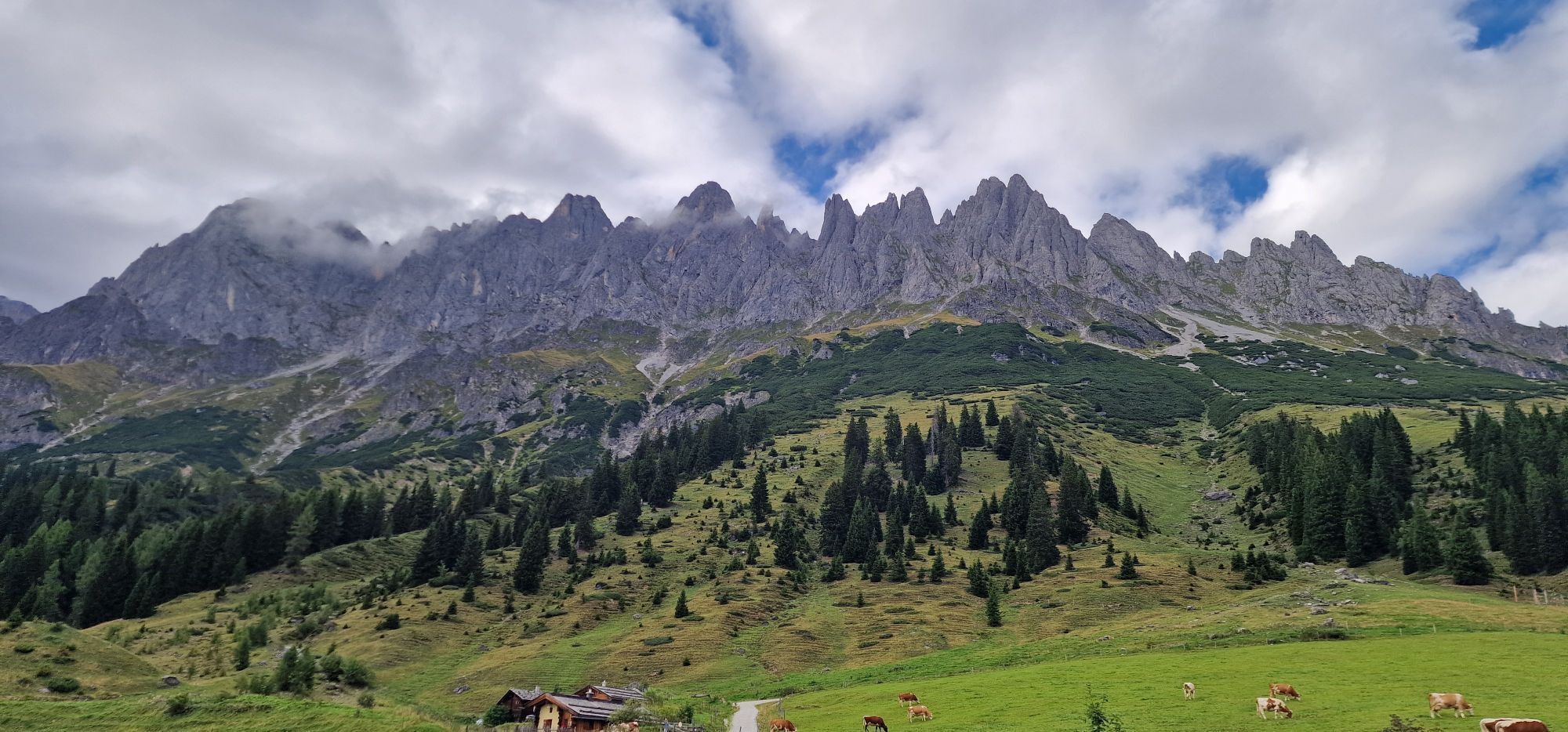
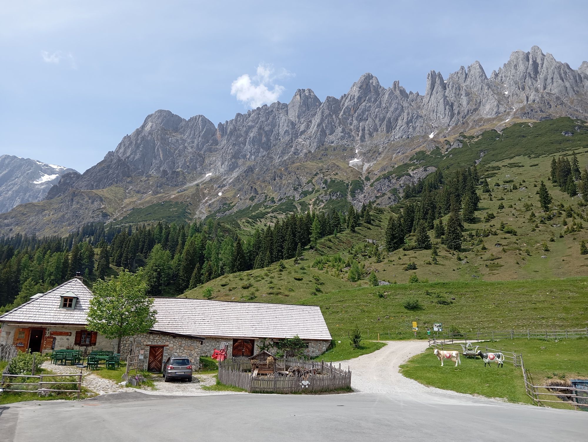
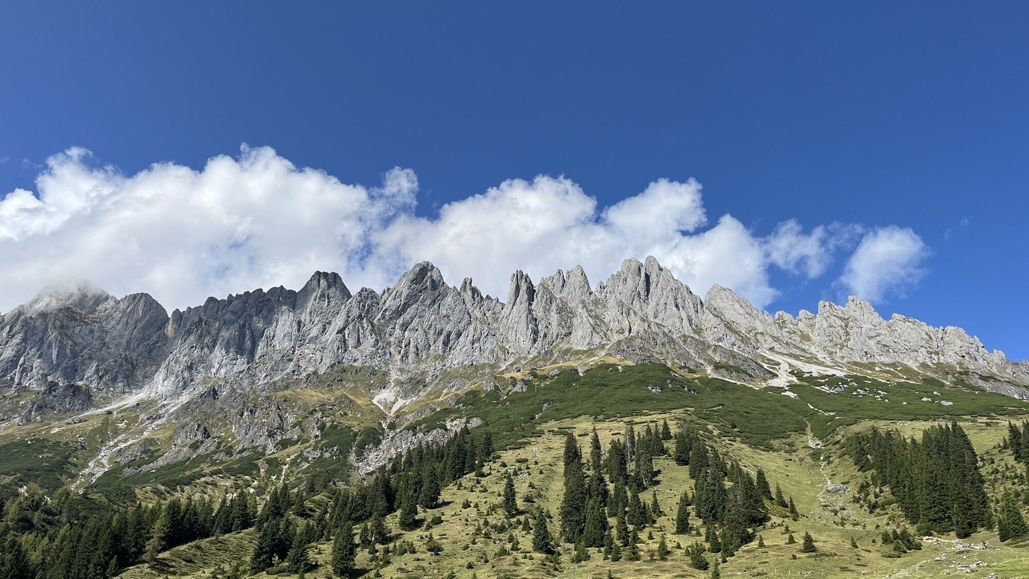
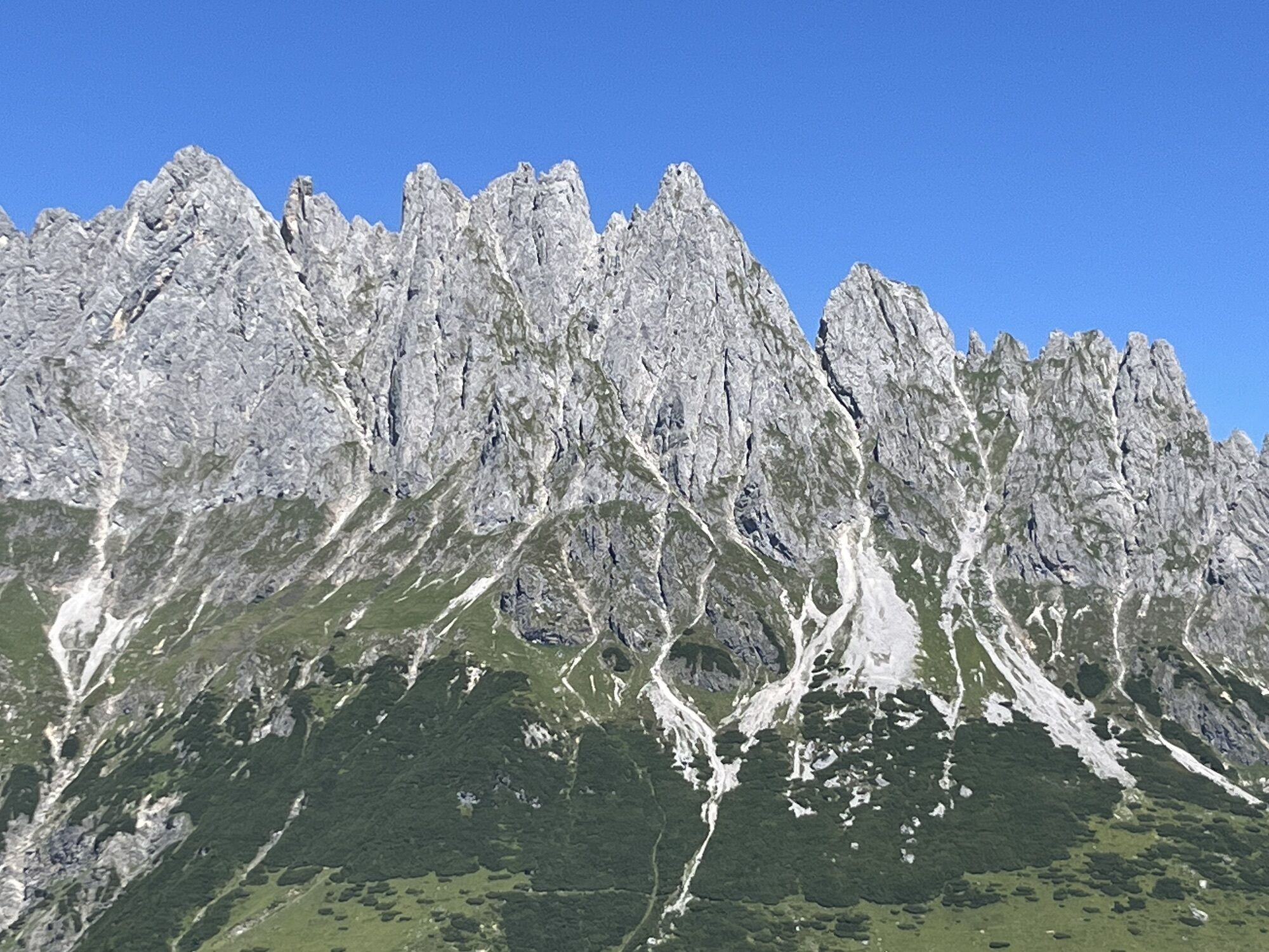
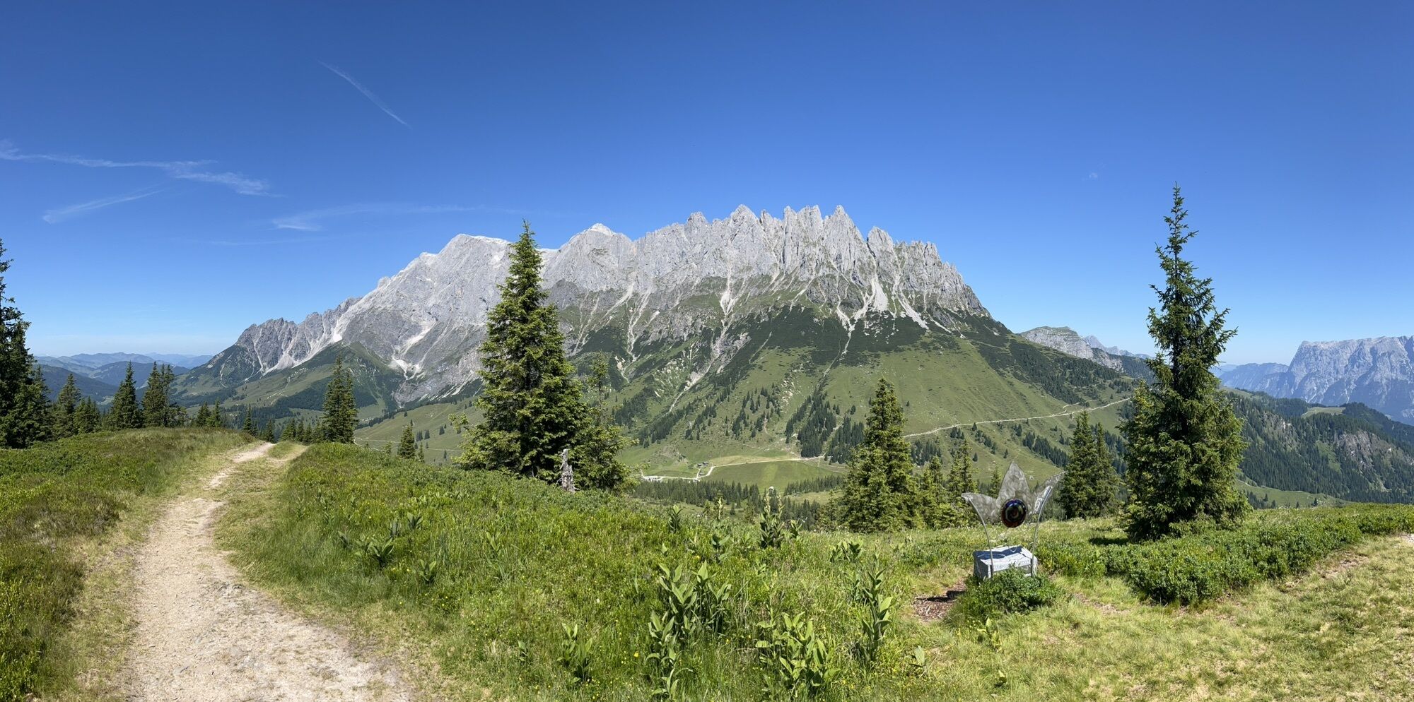
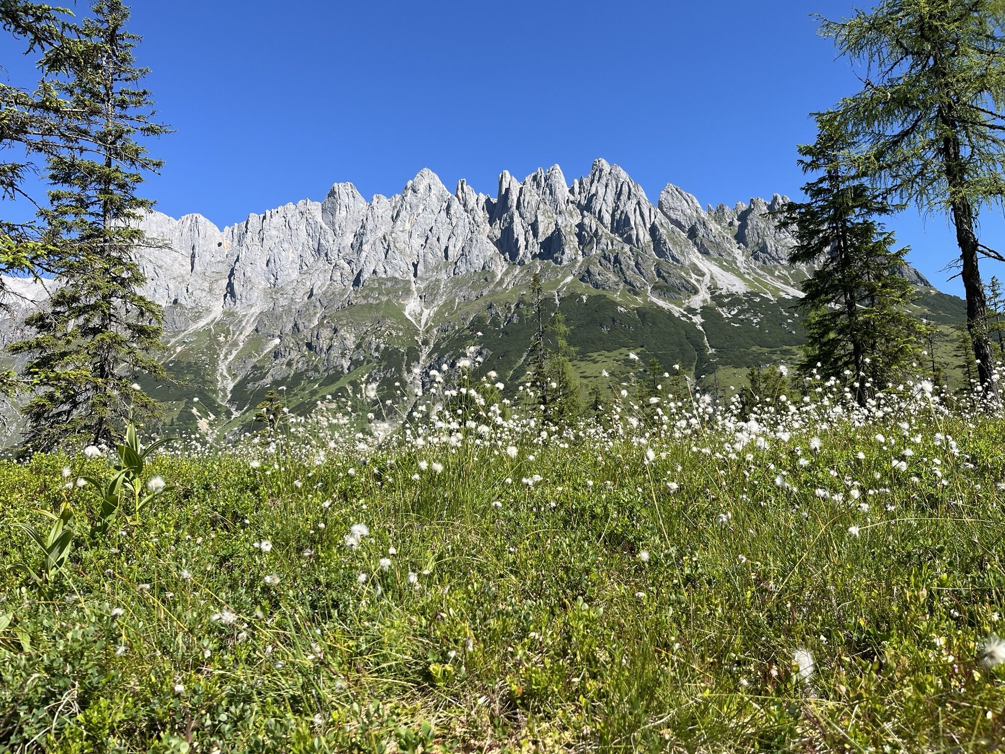
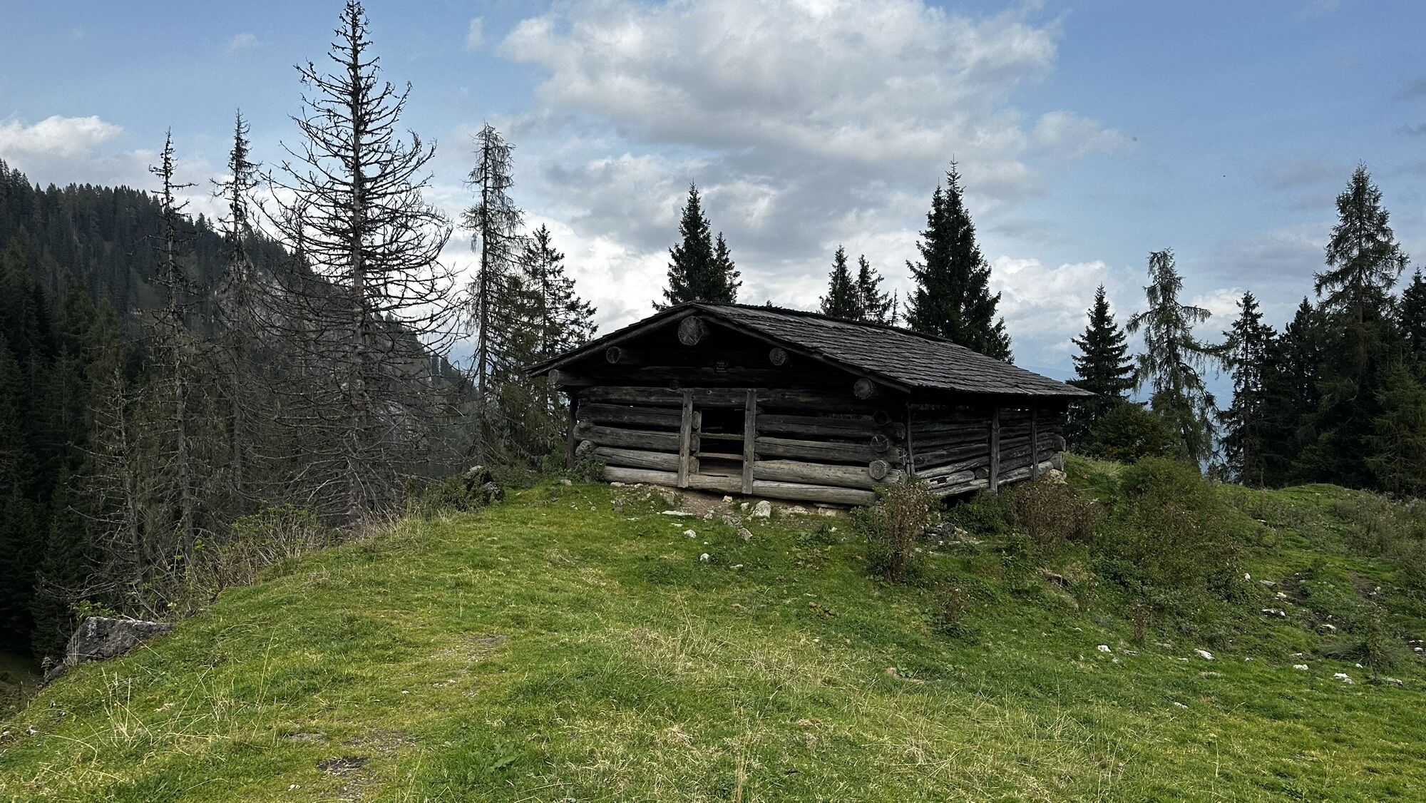
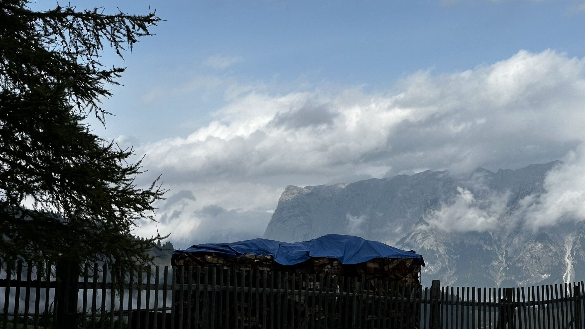
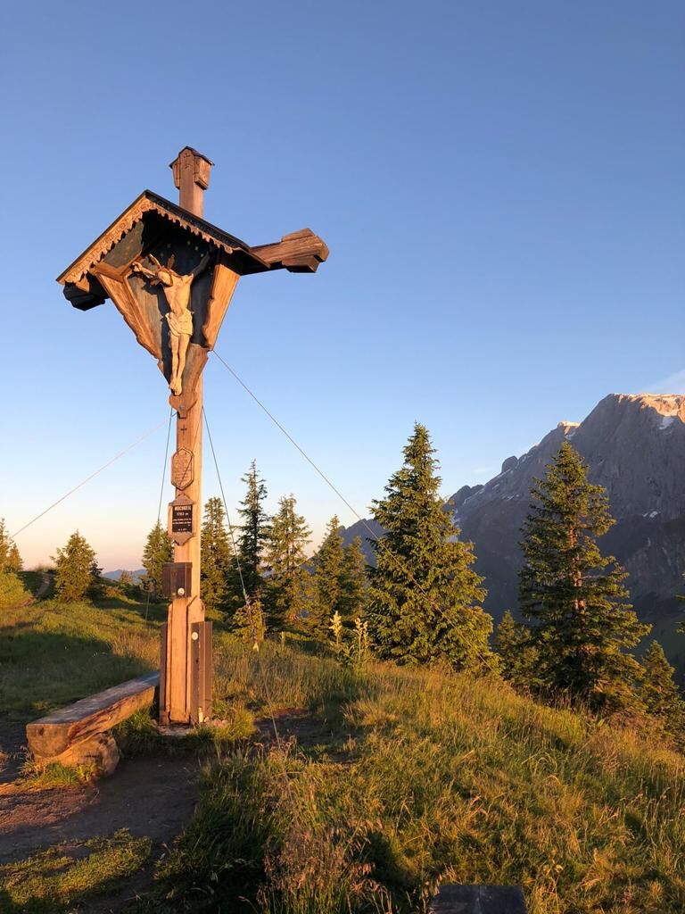
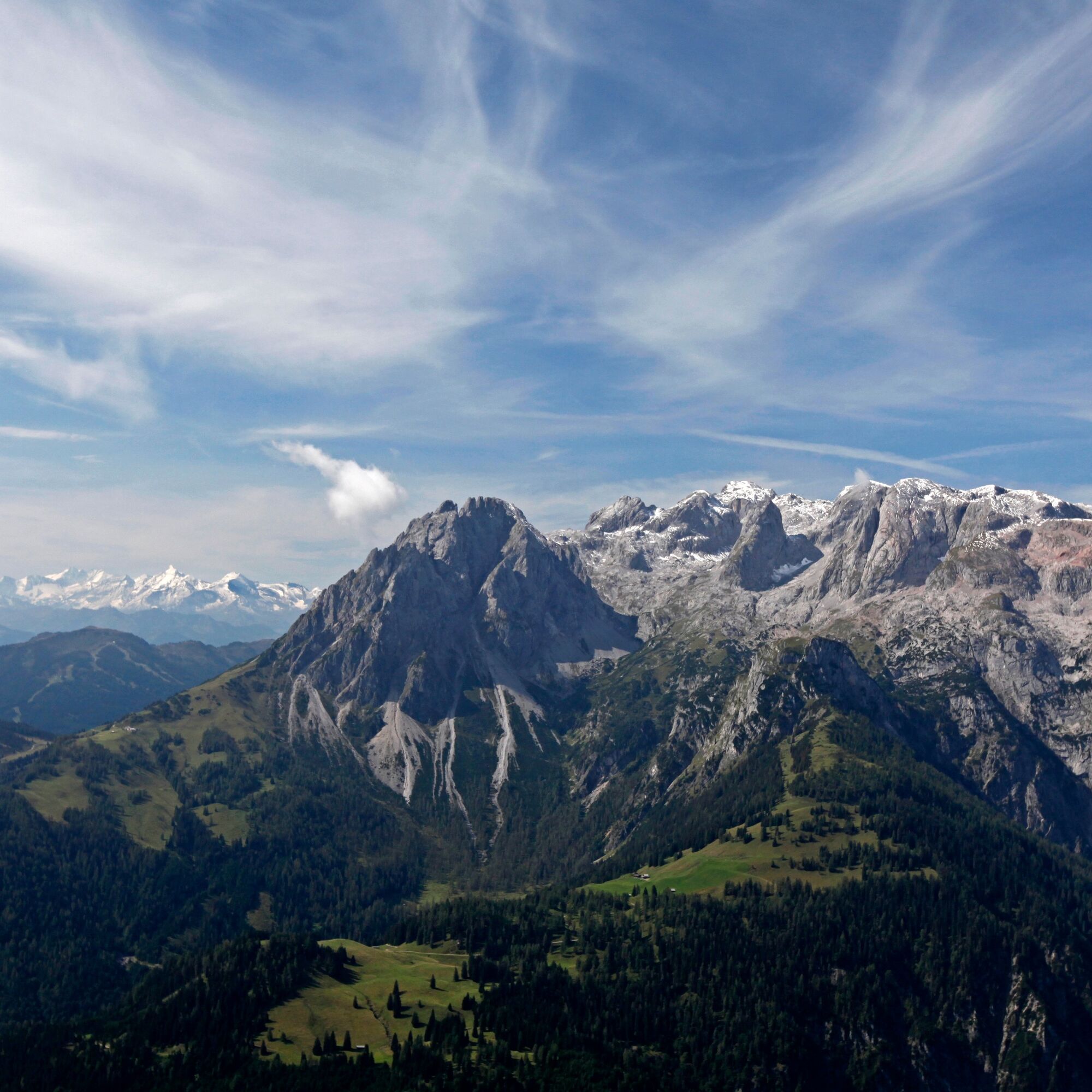
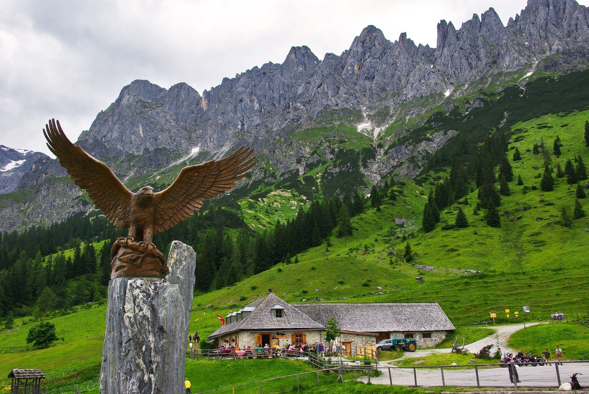
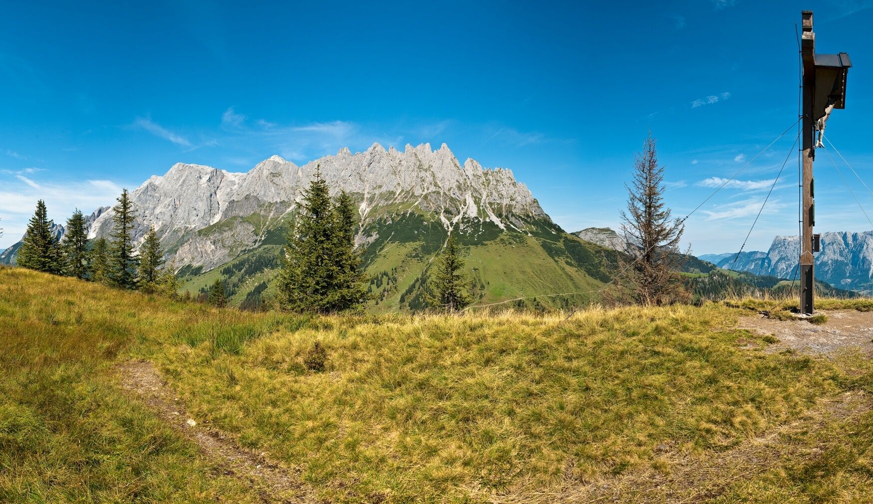
After about 15 minutes of walking, you reach the first photo stop: an idyllic wooden hut, a former lift station, with the imposing Mandlwände and the impressive Hochkönig south face in the background. Here you can not only take a look at the Troiboden and the archaeological excavation sites but also learn that the area has been scientifically researched for decades. Over 5,000 years ago, copper ore was mined here at Hochkeil. You may know the Nebra sky disk, a replica of which can be seen in the Mining Museum in Mühlbach. The copper for this prehistoric celestial representation comes from Mühlbach.
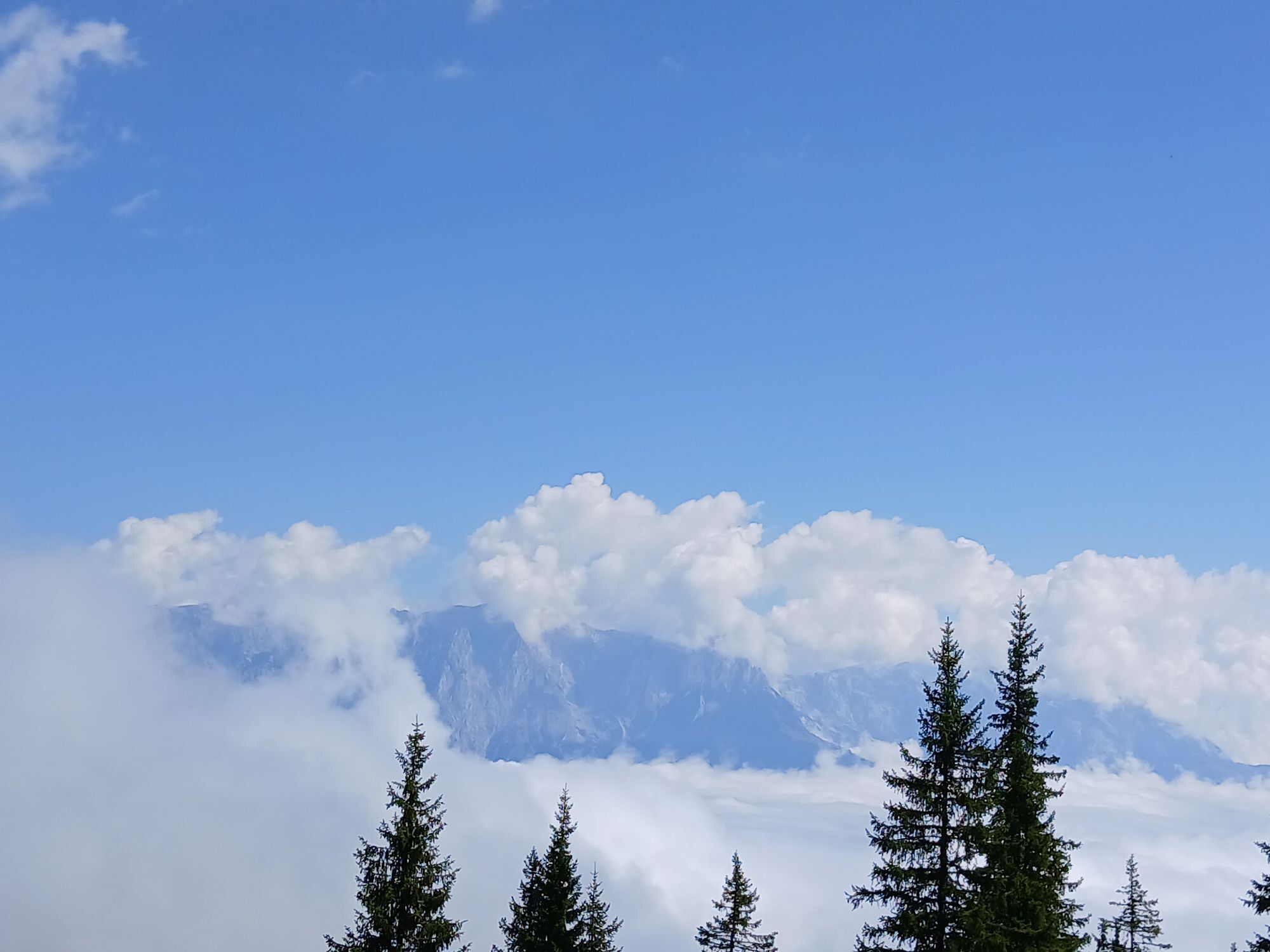
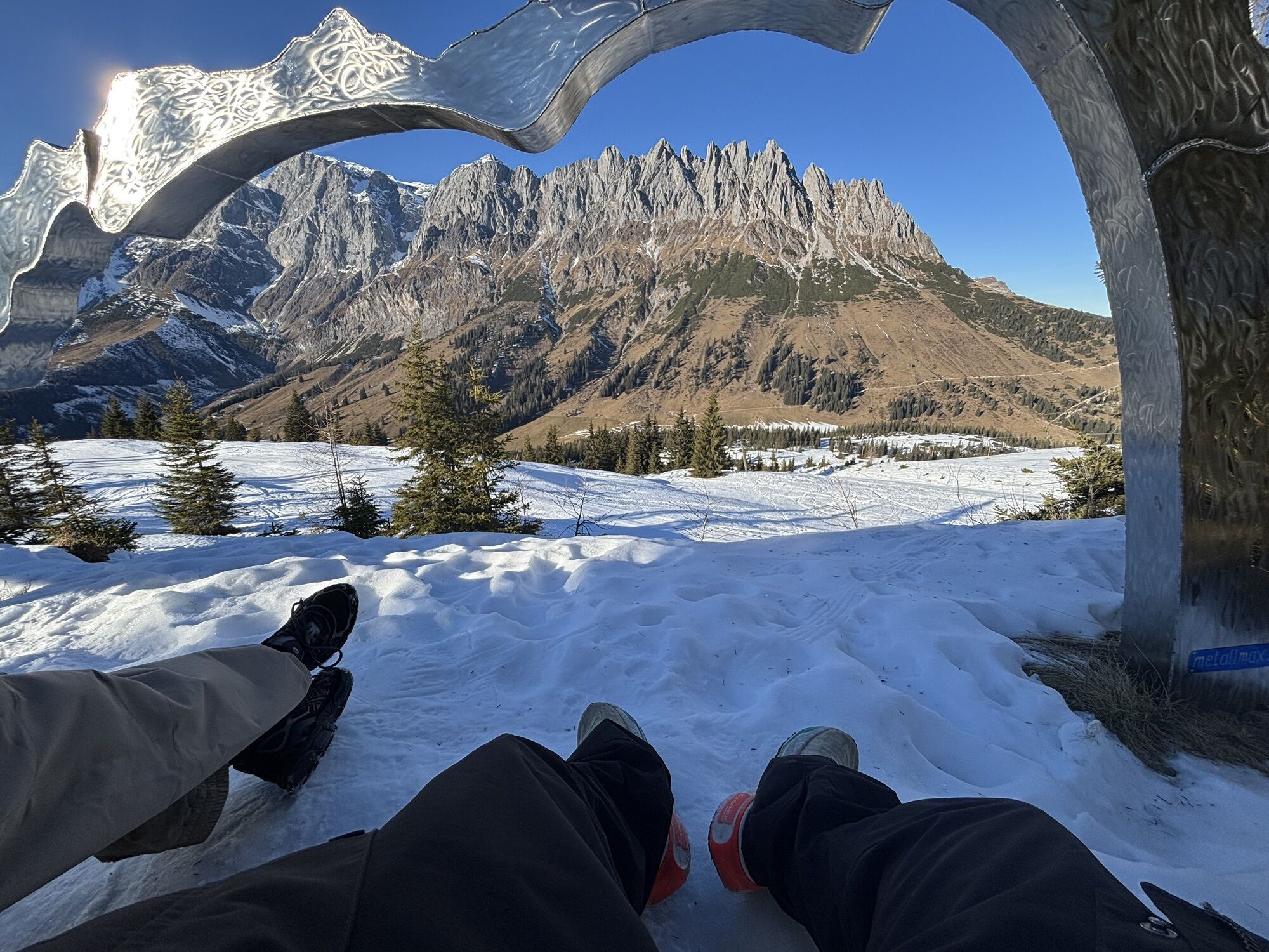
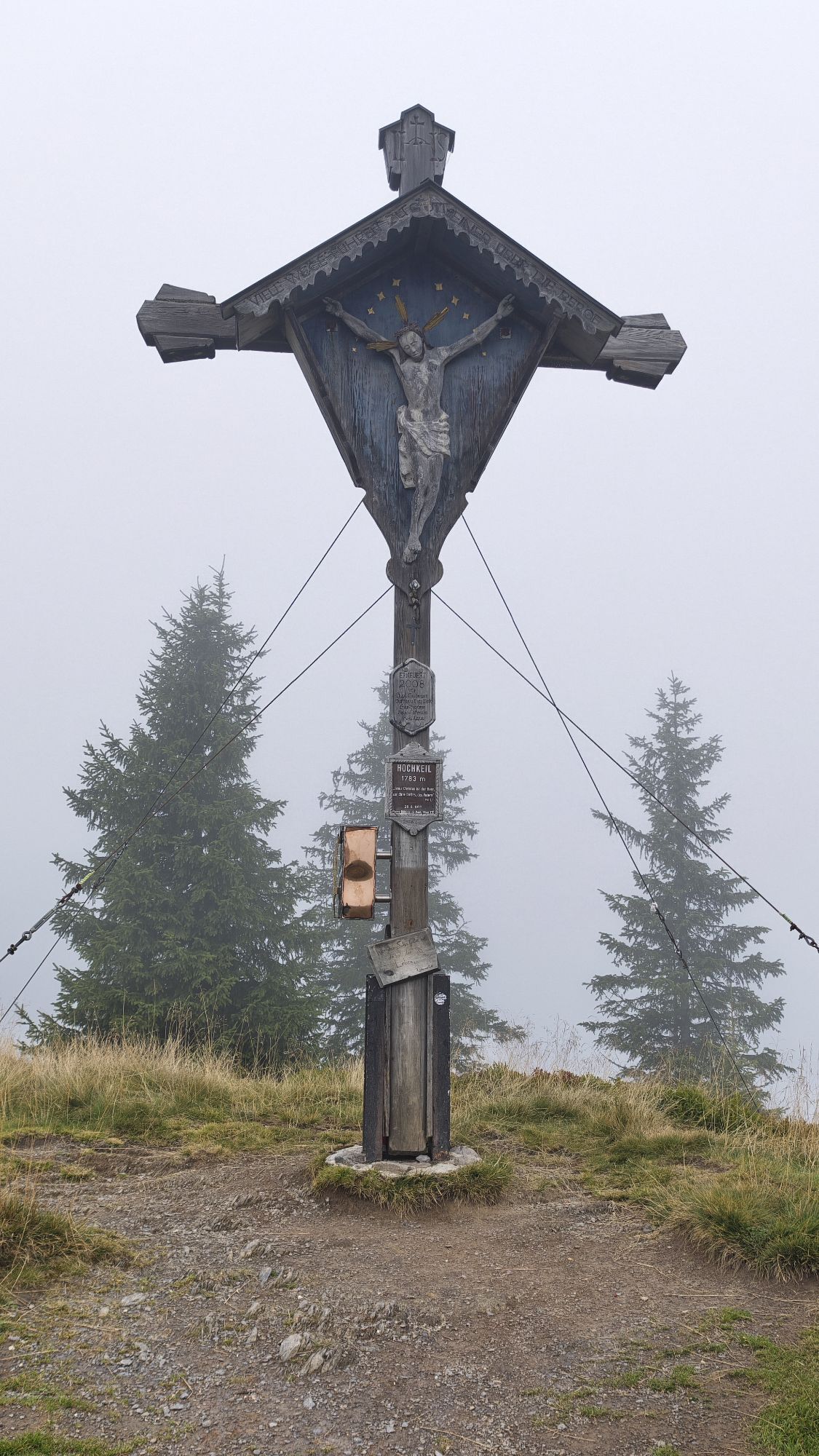
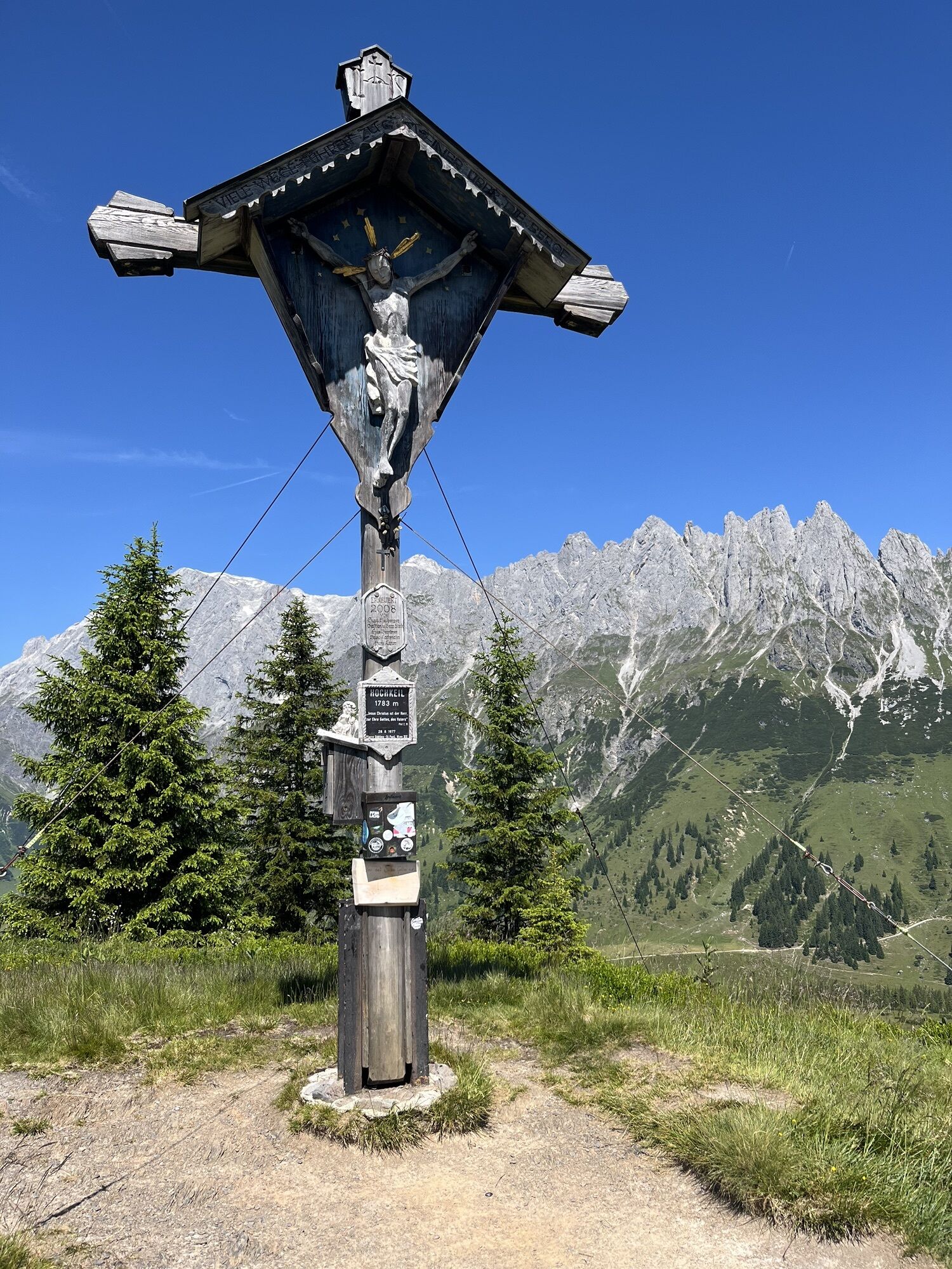
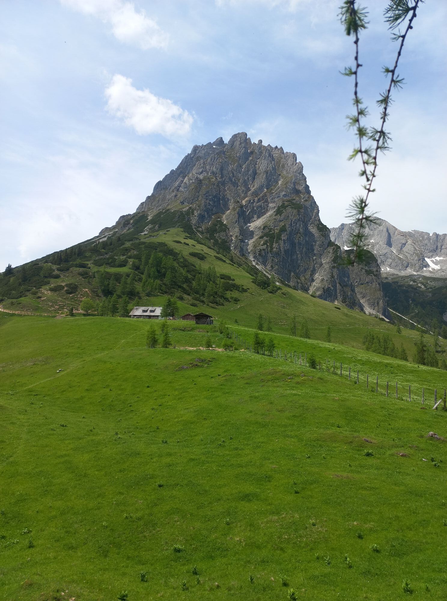
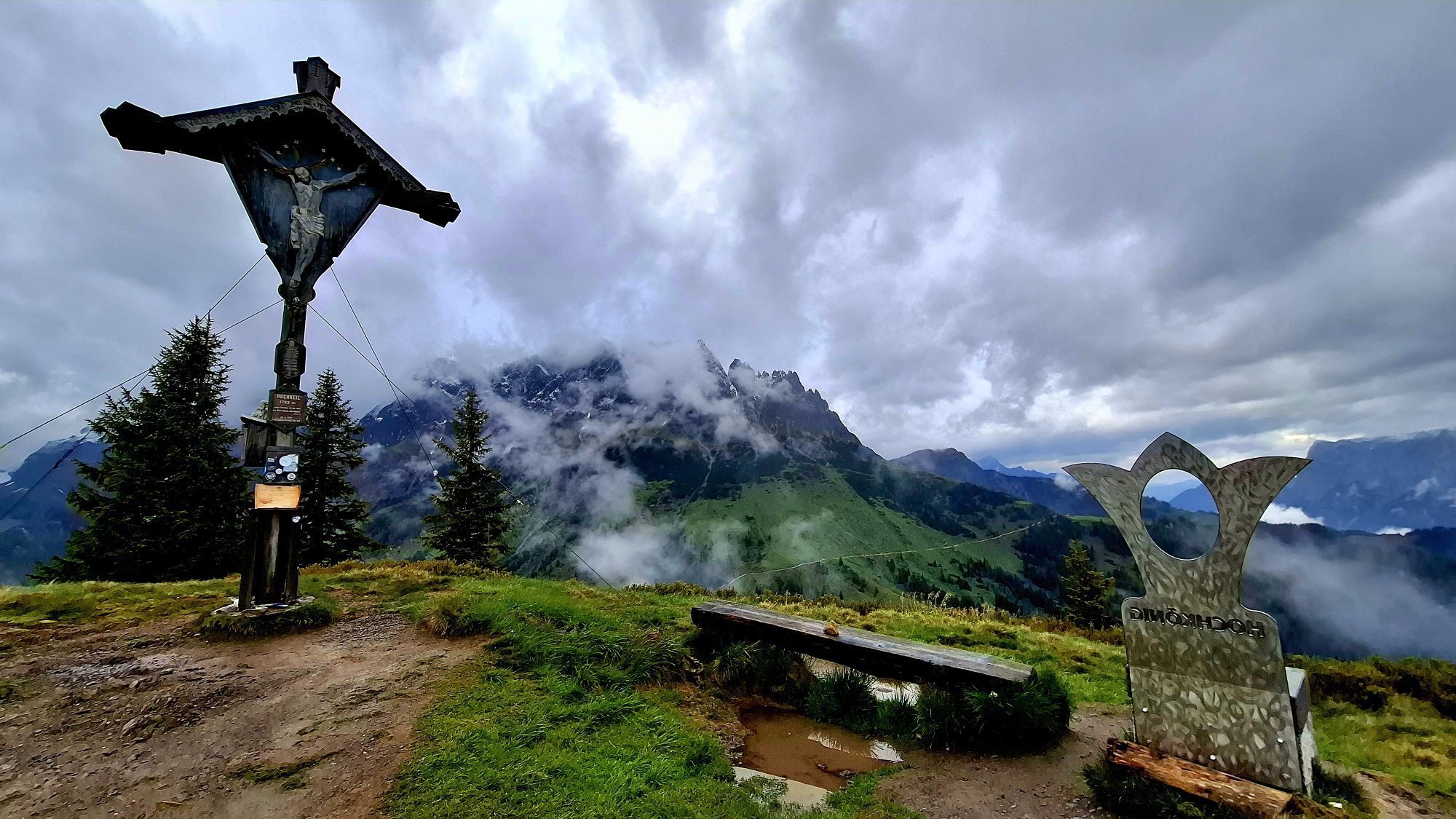
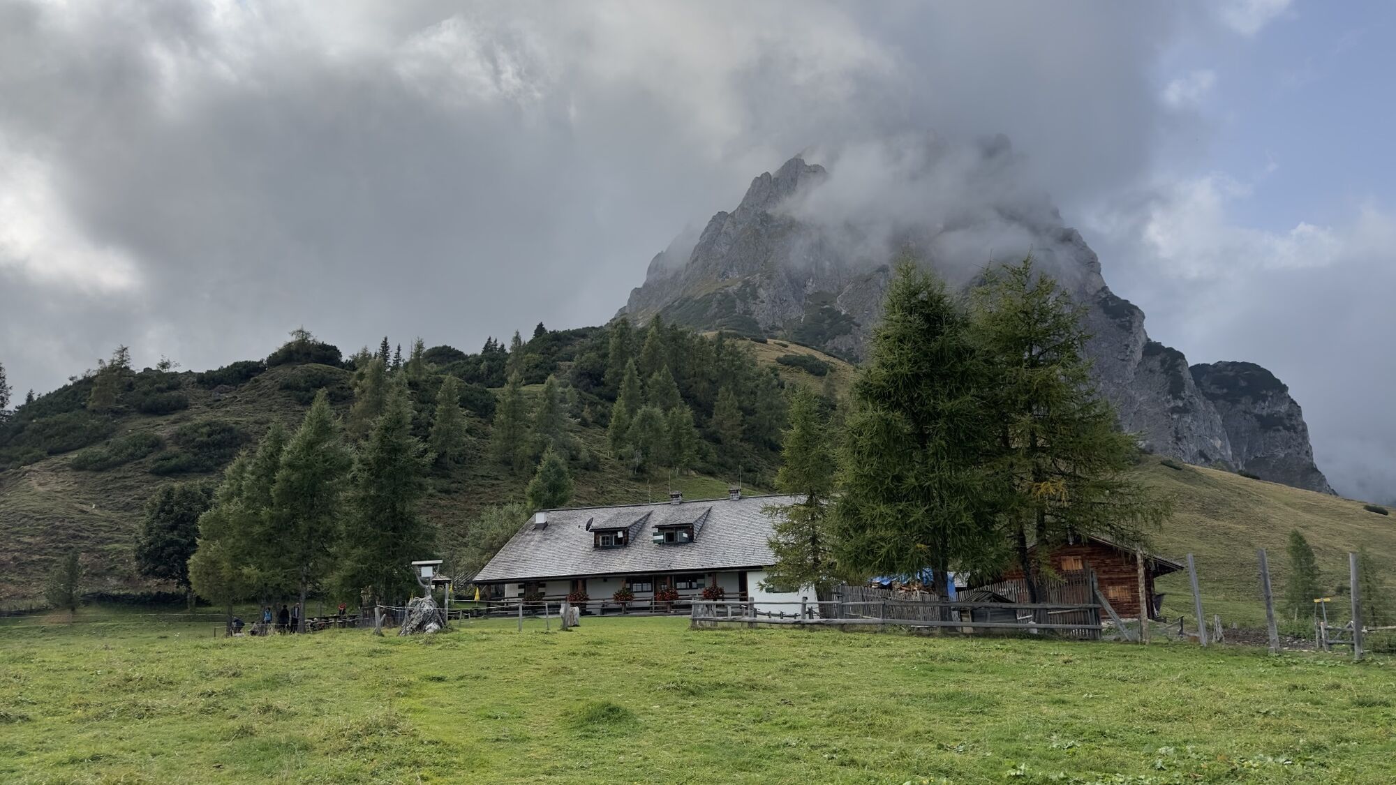
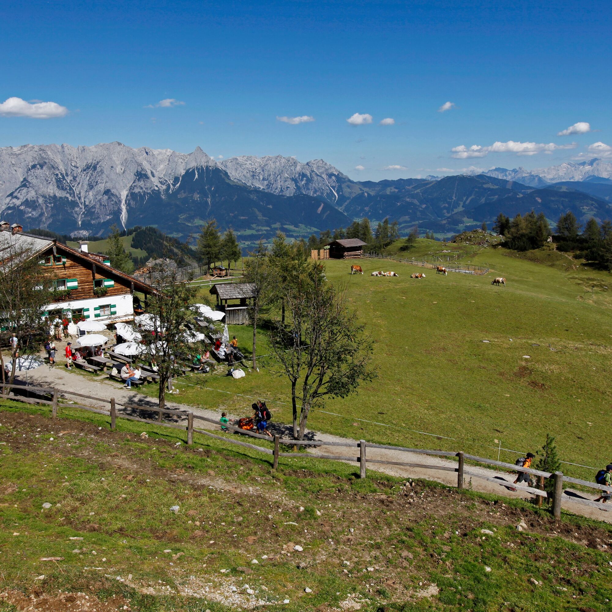
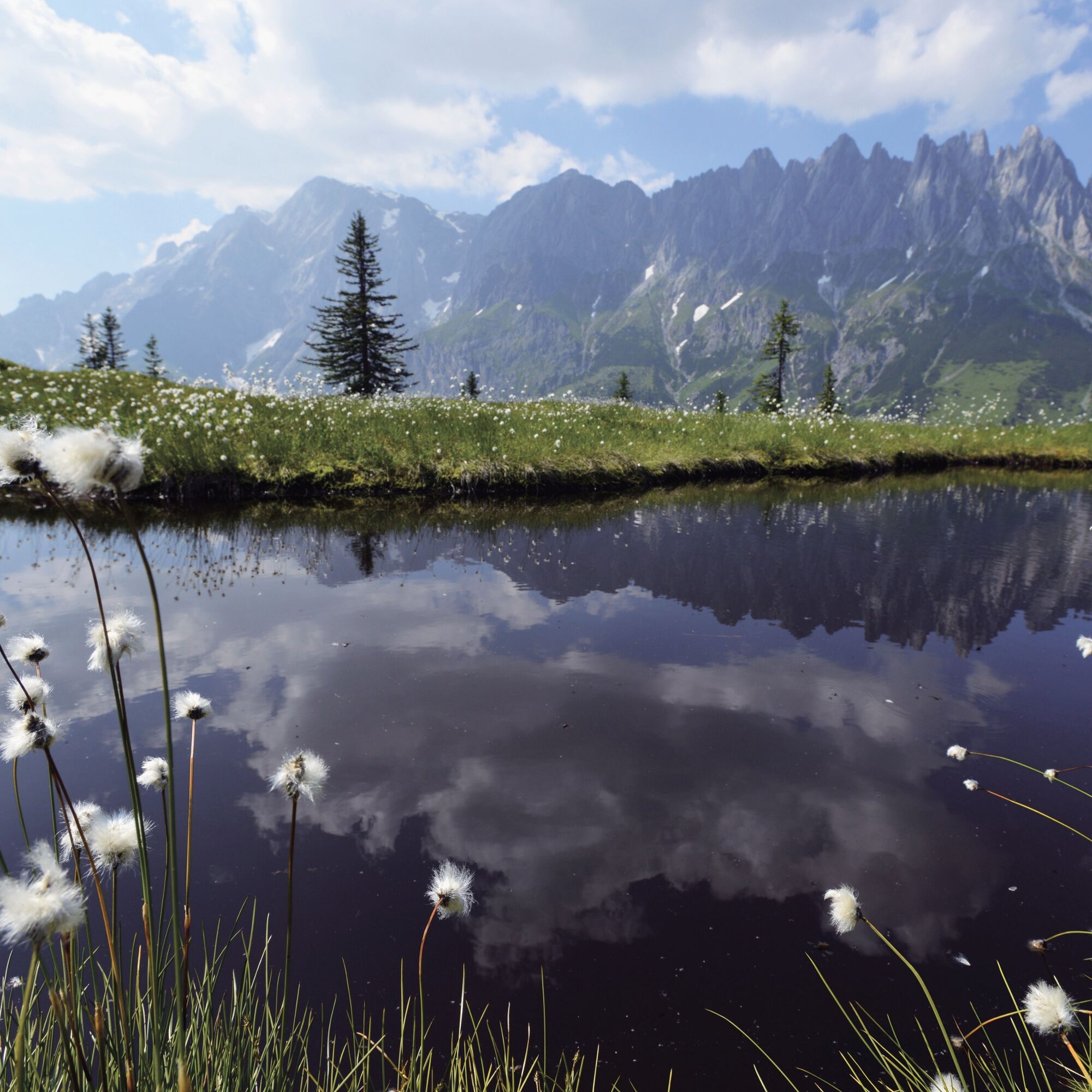
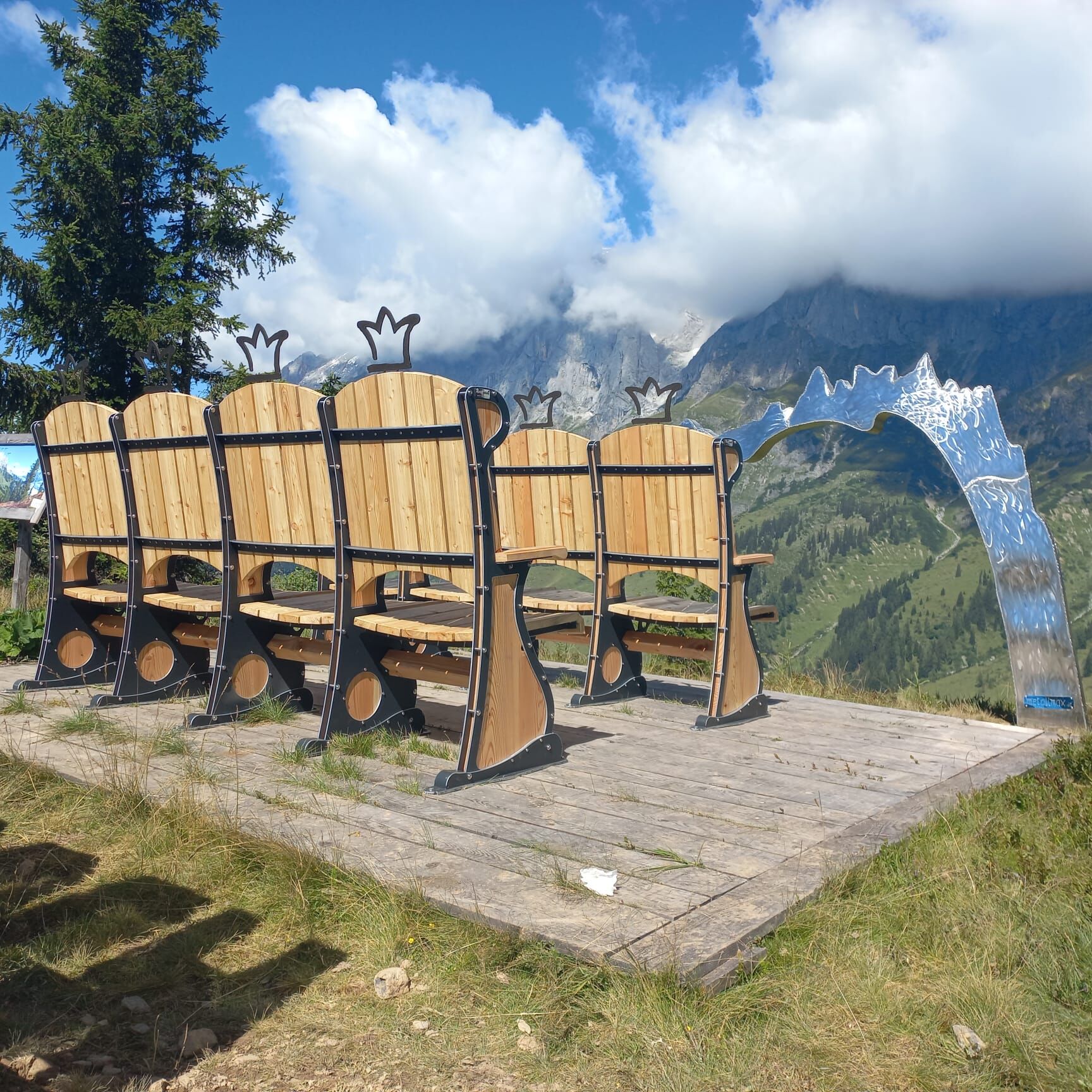
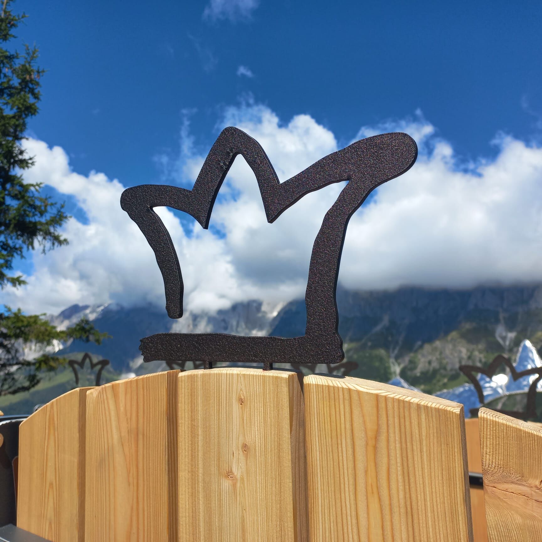
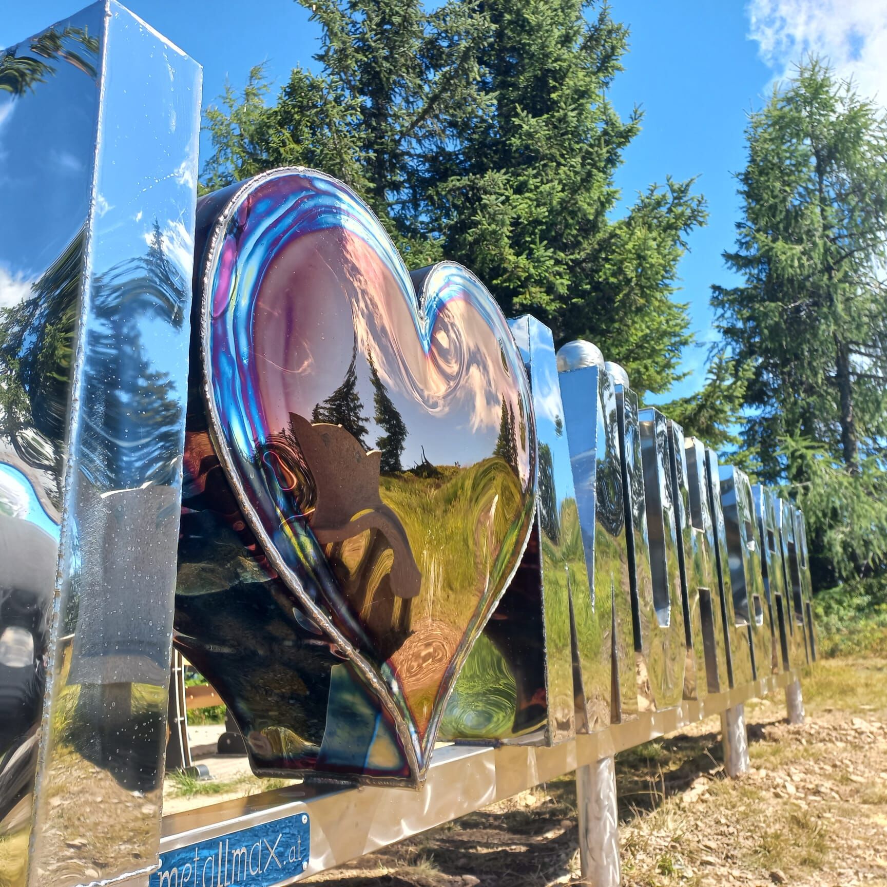
After three bends, you reach an intersection; turn right to reach the Spiegelsee, a moor lake that reflects the clouds and the Hochkönig massif and offers unforgettable holiday memories. At the intersection, follow the path to the left to reach the "Cinema on the Mountain" after a few minutes of walking, which invites you to linger and enjoy the magnificent view before you hike the last meters to the Hochkeil summit. Once at the summit, you can overlook both your starting point, the Arthurhaus, and your stage destination today, the Mitterfeldalm.
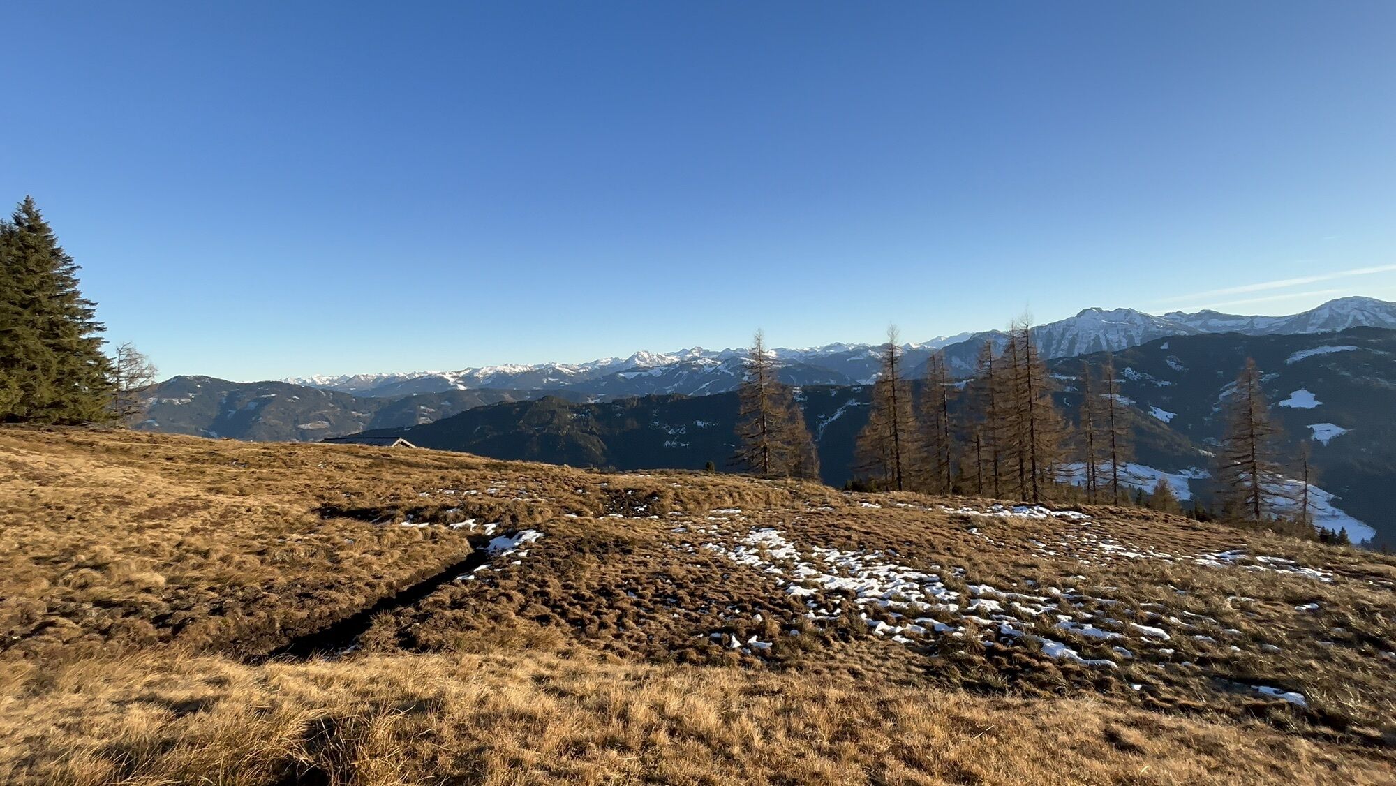
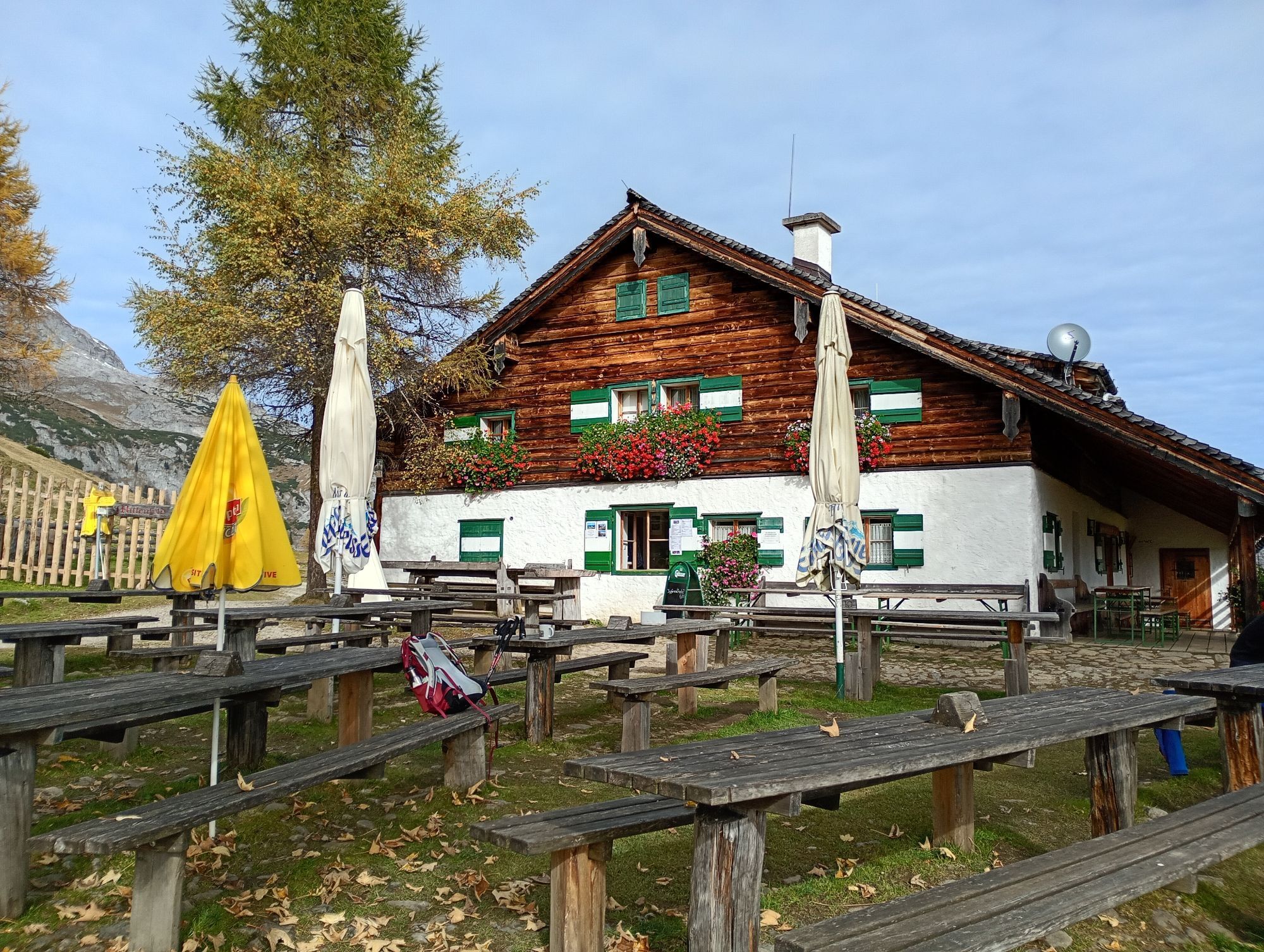
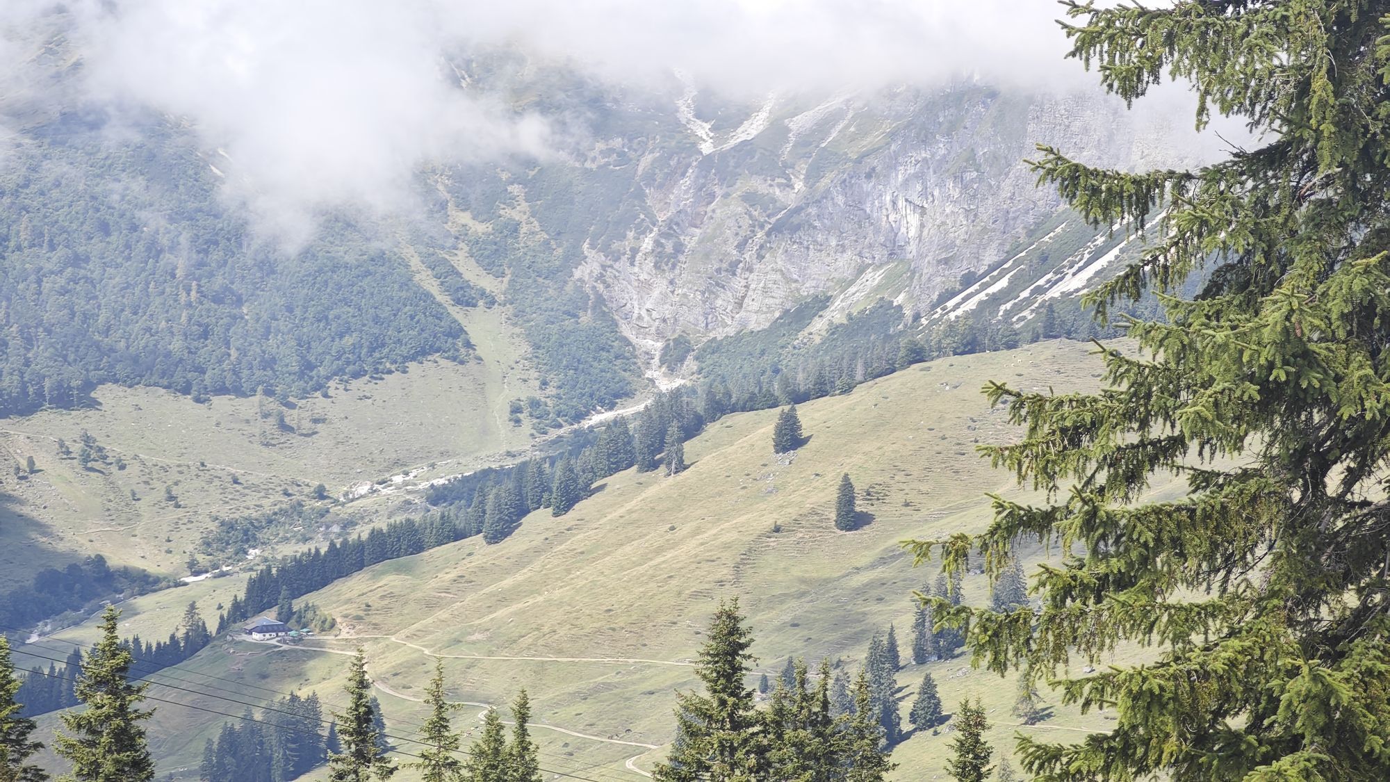
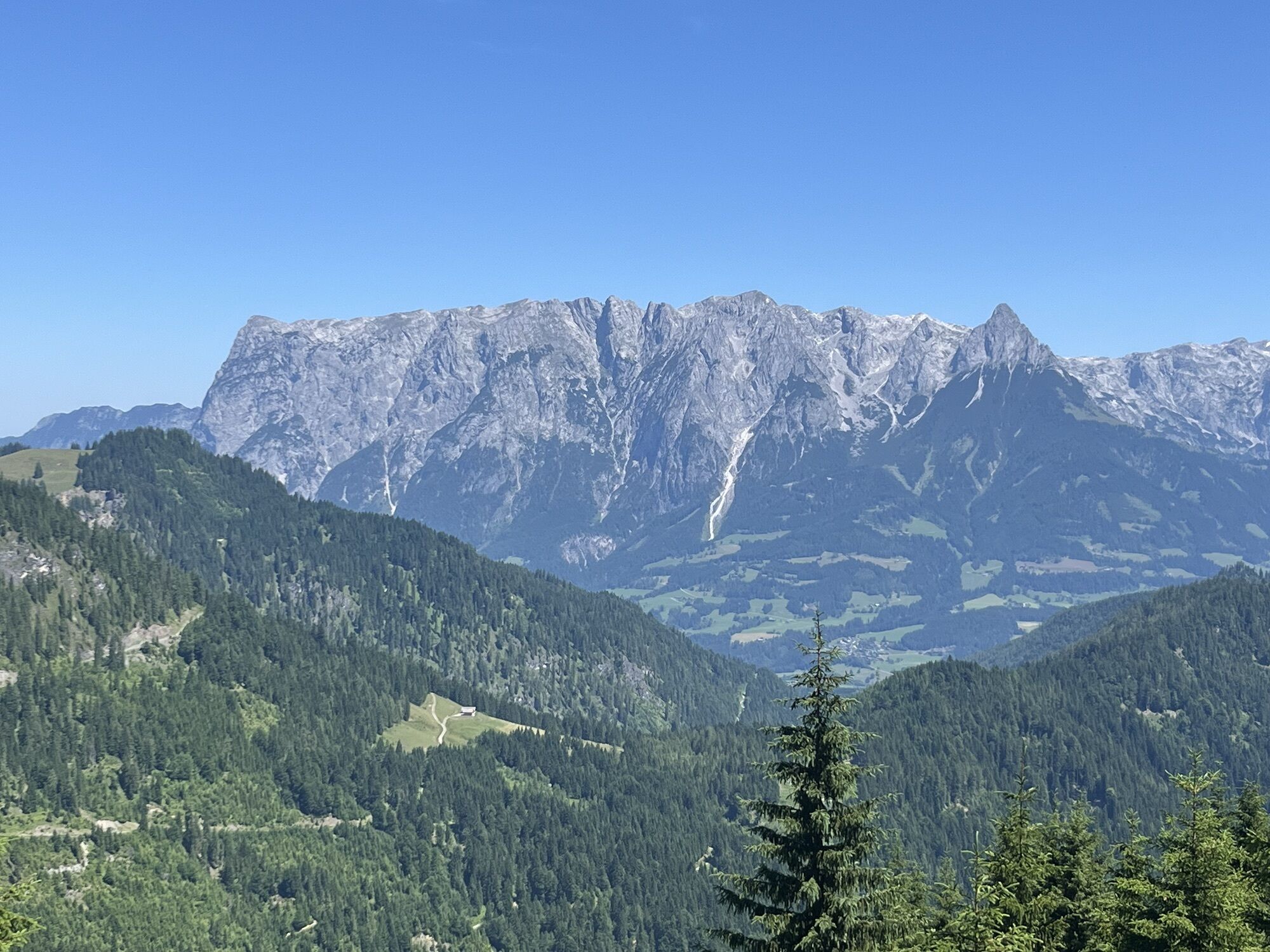
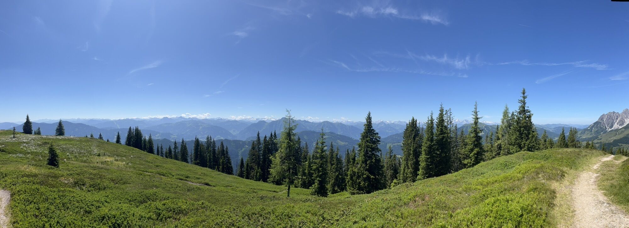
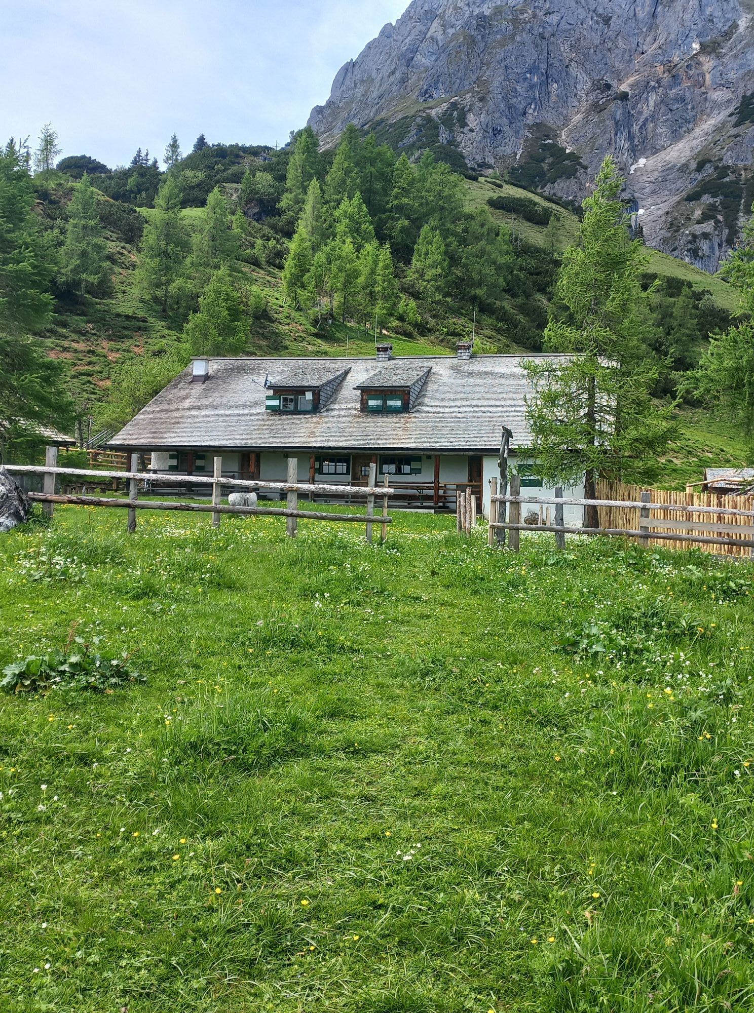
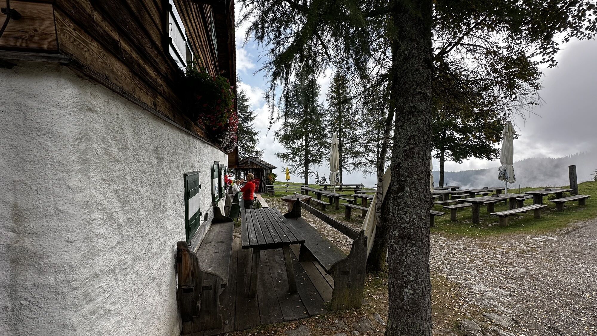
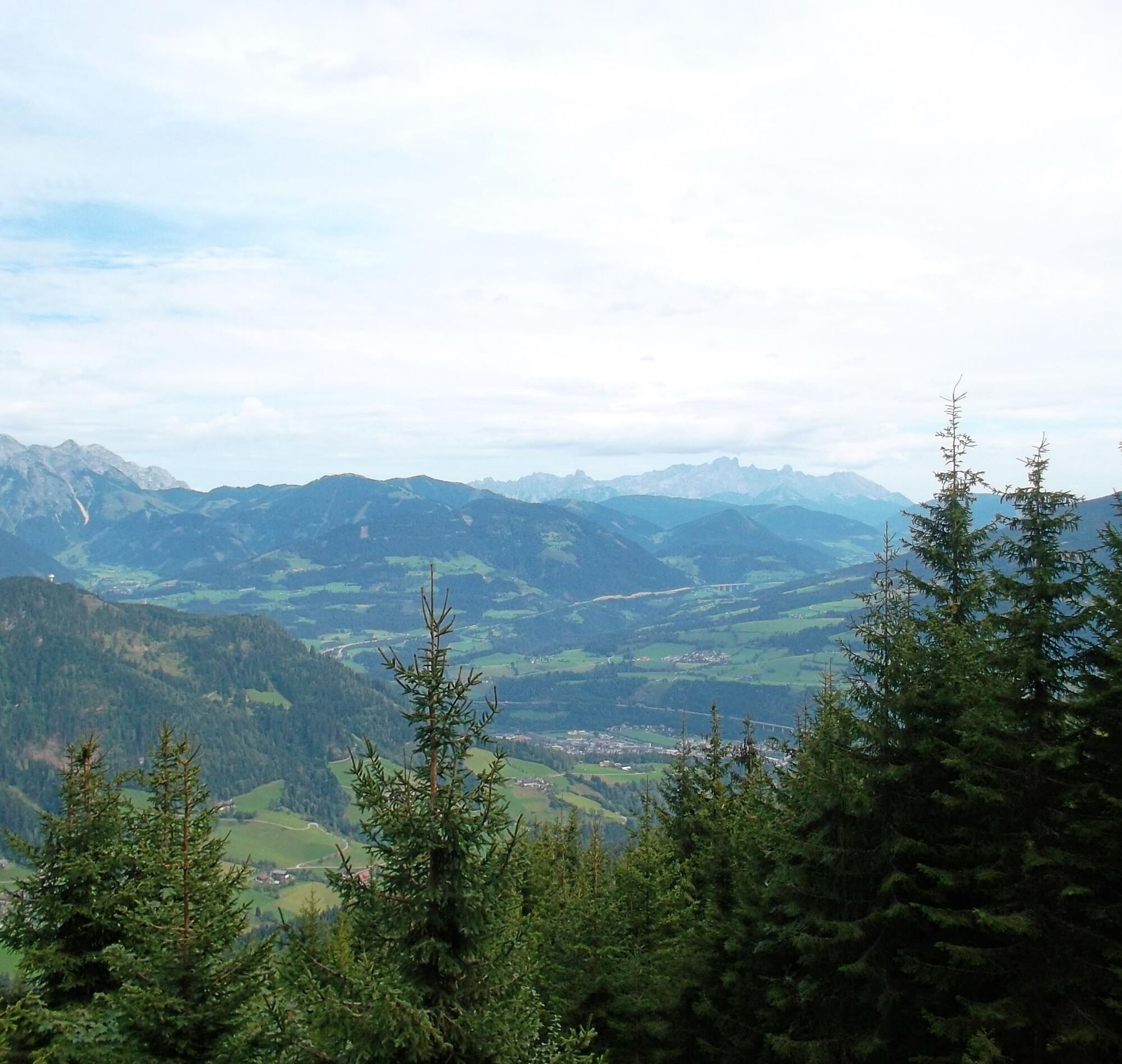
From the Hochkeil summit, head right down the trail no. 84 through a cool forest. This hiking trail crosses a forest road no. 18a after a descent of about 360 meters in elevation. Follow the forest road toward Arthurhaus while enjoying views of Bischofshofen and the Salzach valley. Refresh yourself at the crystal-clear, cool mountain water by the "kaltes Bründl". Shortly before returning to Arthurhaus, turn onto hiking trail no. 83 and follow it to the unmanaged Stegalm, which serves as shelter for the cows grazing here. Then go uphill again somewhat steeply through the forest before reaching the Mitterfeldalm, your stage destination today.
If you want to take the first stage more comfortably, we recommend climbing the Hochkeil and returning the same way. Then continue the hike via the Stegalm to the Mitterfeldalm. This shortens the walking time by about 2.5 hours.
Sturdy ankle-high footwear
Hiking poles
Headwear
Sunscreen
Sunglasses
Rain protection
Drinks and a small snack
Necessary medication
First aid kit
Hiking map
Self-assessment: Before every mountain tour, check your physical fitness and correctly assess your strength as well as that of your companions – especially your children! Surefootedness and being free from dizziness are often very important!
Planning and preparation: Plan every intended mountain tour carefully beforehand. Hiking maps and guides as well as information from alpine clubs and locals such as mountain guides and hut keepers can be helpful.
Equipment: In the mountains, you need appropriate gear and clothing, especially sturdy, high shoes with gripping soles. Weather and cold protection are essential; the weather can often change unexpectedly.
Weather forecasts: Observe current weather conditions at: zamg.at or www.uwz.at.
Togetherness: Observe the 10 rules for the proper handling of grazing animals and do not leave any waste in nature!
Do not dislodge stones: Do not dislodge stones as this can seriously endanger other hikers. Marked areas with rockfall hazards should be crossed as quickly and attentively as possible.
Turn back in time: This is no shame but a sign of prudence. It becomes necessary if the weather changes, fog sets in, or if the path is too difficult or in poor condition.
Emergency numbers: Alpine emergency: 140, International emergency: 112, Rescue: 144
Arrival from Salzburg: On the A10 motorway to the Bischofshofen exit, then on the B311 towards Bischofshofen. Follow the Hochkönig federal road B164 to Mühlbach and then the Mandlwandstraße L246.
Arrival from Innsbruck/Kufstein: On the Loferer Straße B178 towards St. Johann i.T., then via the Hochkönig federal road B164 past Saalfelden, Maria Alm, and Dienten to Mühlbach. Follow the Mandlwandstraße L246 to the Arthurhaus.
For using the Austrian motorway and expressway network, a valid vignette is required. There is also a requirement to carry a first aid kit, warning triangle, and reflective vest. More information at Asfinag.
ÖBB-Scotty: Timetable information
Bus line 590: Timetable information
Hiking bus: Timetable information
Paid parking lot at the Berghotel Arthurhaus.
Further information about hikes and activities in the Hochkönig region:
For detailed information about hiking maps, summer opening hours of mountain railways, huts, and alpine pastures, we recommend visiting the service center on site. There you not only get the hiking map but also valuable tips about the best hiking routes and current conditions.
Summer opening times of the mountain railways: The mountain railways offer different opening times during the summer months that may vary depending on weather and season. Please check current operating times in advance.
Opening hours of huts & alpine pastures in summer: The huts and alpine pastures in the region are ideal rest stops for hikers. Opening hours may also vary by season and weekday. Let the friendly hosts advise you about local offers and specialties.
For more information, please visit our website: www.hochkoenig.at.
If you have questions or need specific information, feel free to contact us:
Email: region@hochkoenig.at
Phone: +43 (0)6584 20388
We look forward to assisting you and wish you much fun exploring the beautiful hiking region of Hochkönig!
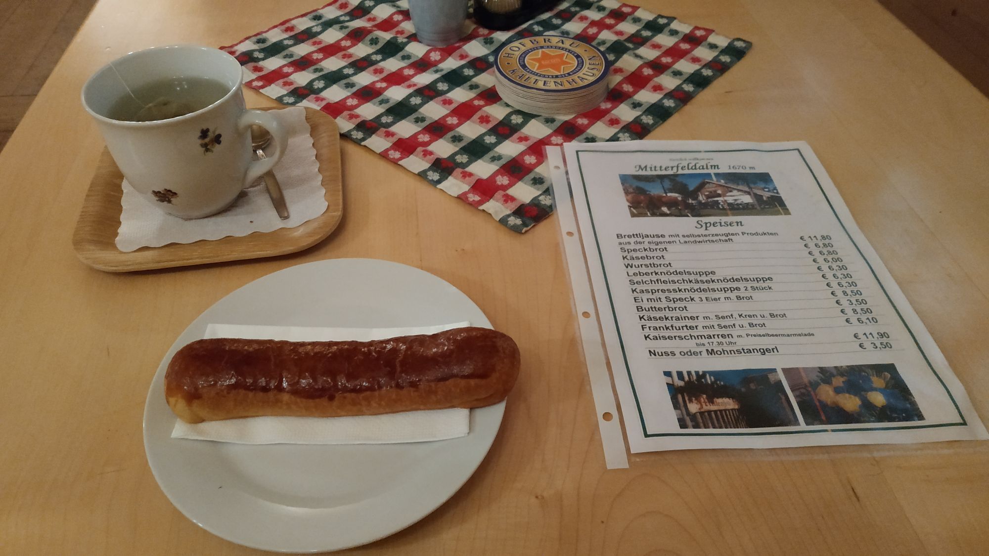
Be sure to try the homemade poppy seed and nut sticks at the Mitterfeldalm.
Kamery internetowe z trasy


Popularne wycieczki w okolicy
-
4,7
Werfenweng Mountainbikerunde Söldenhütte
średniMountainbike 18,8 km -
4,9
Großarl: Aualm - Liechtensteinkopf - Aukopf - Schuhflicker - Schuhflickersee
średniWędrówka 5,84 km -
4,9
Großarl: Heukareck
średniWędrówka 12,5 km -
4,9
Summit stormer route Lauskopf
ciężkiWędrówka 8,16 km -
4,8
Summit storming route Taghaube
ciężkiWędrówka 6,25 km -
4,7
About the "Four Huts circular route" to Windraucheggalm
średniWędrówka 10,1 km -
3,7
Wanderung zur Ostpreußenhütte in Werfen (1.630 m)
średniWędrówka 11,2 km -
4,6
Großarl: Mooslehenalm – Niggeltalalm – Viehhausalm
średniWędrówka 5,44 km -
4,6
Panorama hike to the Hochkeil
średniWędrówka 6,07 km -
4,9
Hochkönig - Gipfel der Gefühle - Matrashaus
ciężkiWędrówka 20,9 km
Wędrówki i tropienie


Nie przegap ofert i inspiracji na następne wakacje
Twój adres e-mail została dodana do listy mailingowej.





