






Large circular hiking trail Hermsdorf/E.
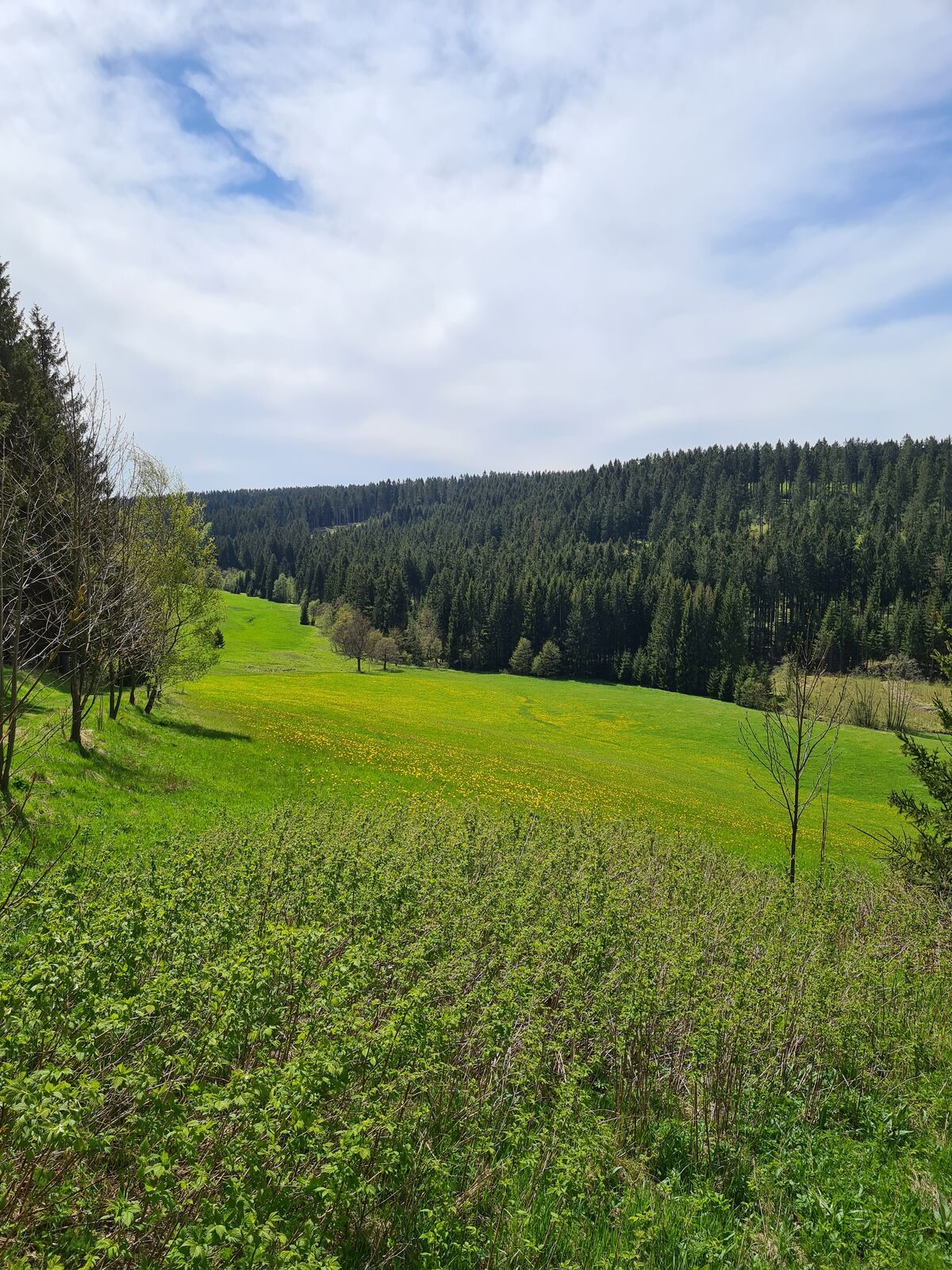
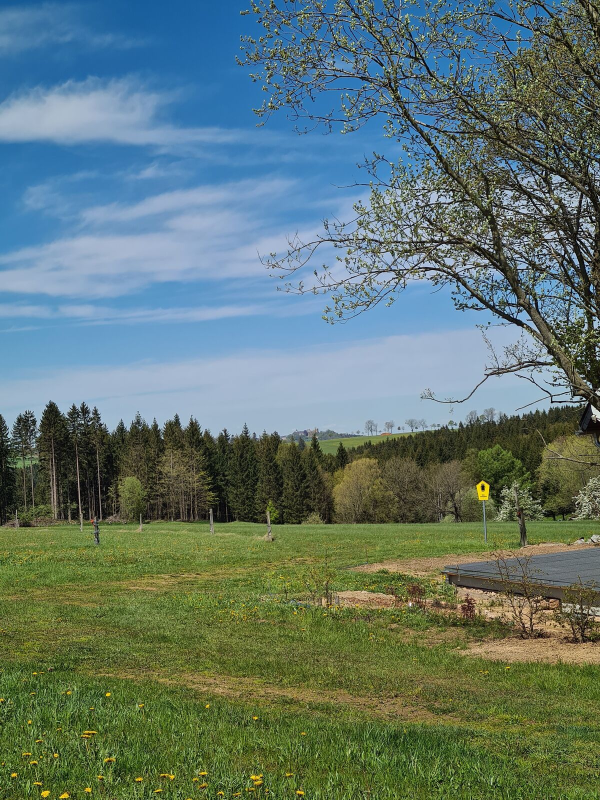
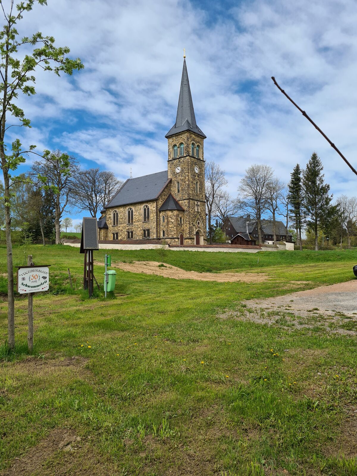

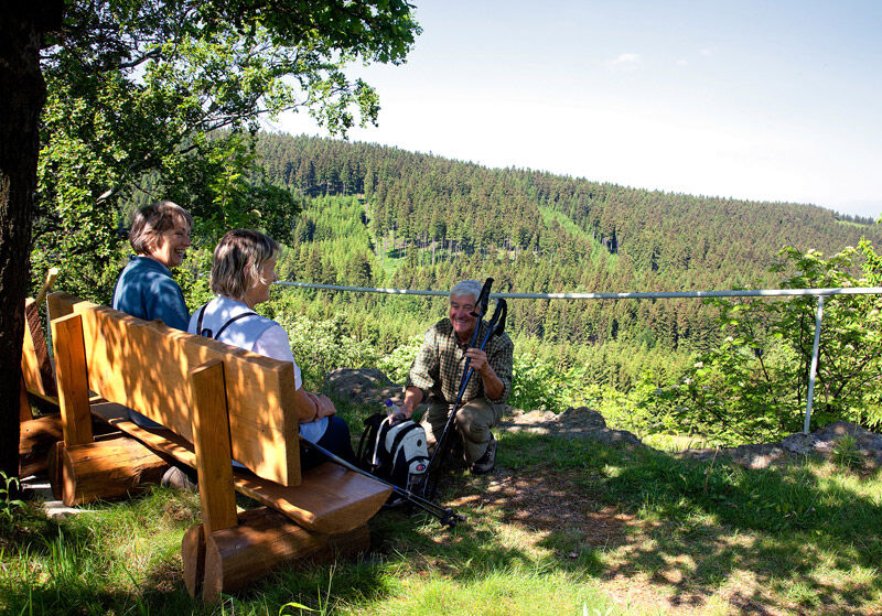

You hike from Neuhermsdorf opposite the "Alter Zollhaus" in the direction of Seyde, turn onto the hiking trail into the Köhlergrund. Now climb uphill to the beech path along the educational boards about the local plants and animals on the "Tree of the Year" avenue. Past the school and kindergarten, you come to the church square, via Haselbornweg and Querweg to the sports field. From there, take the path downhill via the main road to the village road, past the Herrenbrunnen fountain and continue along the forest path to the bone. Enjoy the view. Via the Schlüsselweg in the Gimmlitz valley, you reach the lime works and follow the Kalkstraße to Schneise 11, continuing on the Schwerdtweg to the Gimmlitzquelle. It leads along Altenberger Straße to the "Schickelshöhe" vantage point, along Bergstraße, accompanied by the windmills, via Alte Straße to Neuhermsdorf.
Car, bus
Bus
Neuhermsdorf hiking parking lot, 01776 Hermsdorf OT Neuhermsdorf, Altenberger Str. 7
Municipality of Hermsdorf/E.
Kirchplatz 2
01776 Hermsdorf/E.
Tel. +49 35057 51210, Fax: +49 35057 549517
gemeinde-hermsdorf.erzg@t-online.de
www.hermsdorf-erzgebirge.de
Hermsdorf Farmers' and Local History Museum, Tel. +49 35057 51383, www.pension-bierkeller-museum.de
Fri to Wed from 11 a.m., closed on Thursdays
Refreshments available:
Restaurant Bierkeller, tel. +49 35057 51383, open Fri - Wed from 11 a.m.
Restaurant Buschhaus, tel. +49 35057 51341, closed on Mon.
Uzyskaj wgląd
Zawsze na żywo z ponad 9 500 kamer internetowych. bergfex Jako użytkownik Pro, możesz teraz zobaczyć odpowiednie kamery internetowe dla wielu wycieczek w aplikacji wycieczki od. Pozwala to na bezpośredni podgląd aktualnych warunków.
Popularne wycieczki w okolicy
-
Oberbärenburg- Tellkoppe- Ausichtsturm, Deutschland Altenberg im Erzgebirge, Deutschland
światłoWędrówka 8,08 km -
3,0
Kahleberg-Geisingberg-Scharspitze-Biwakkuppe, Deutschland Altenberg im Erzgebirge, Deutschland
średniWędrówka 14,6 km -
Day tour Kammweg 02 Around Altenberg 14km
średniWędrówka 14,6 km -
5,0
Circular hike to the Rauschenbach reservoir
Wędrówka 9,52 km -
3,0
Day tour Kammweg around Neuhausen and the Schwartenberg
Wędrówka 12,5 km -
Mückentürmchen route
średniWędrówka 19,6 km -
3,0
Wanderung mit Hund und Familie
średniWędrówka 6,86 km -
Neuhausen Panorama Trail -No 9-
średniWędrówka 10,1 km -
Blockline Loop 1: Holzhau " Altenberg " Hermsdorf " Holzhau
ciężkiMountainbike 55,0 km -
Day tour Kammweg 04 Around Frauenstein 35km 2-day hike
ciężkiWędrówka 36,1 km
Wędrówki i tropienie


Nie przegap ofert i inspiracji na następne wakacje
Twój adres e-mail została dodana do listy mailingowej.





