


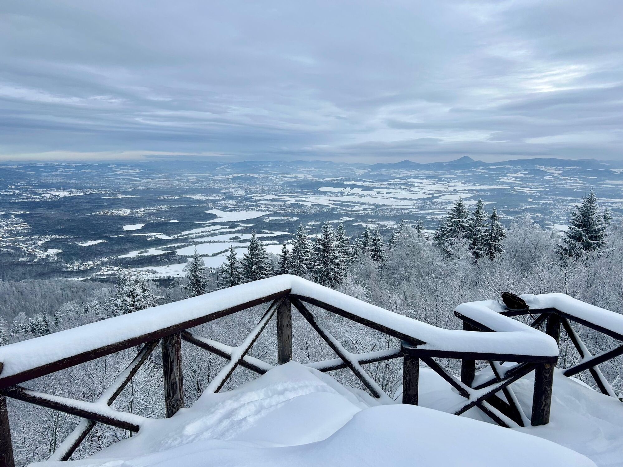
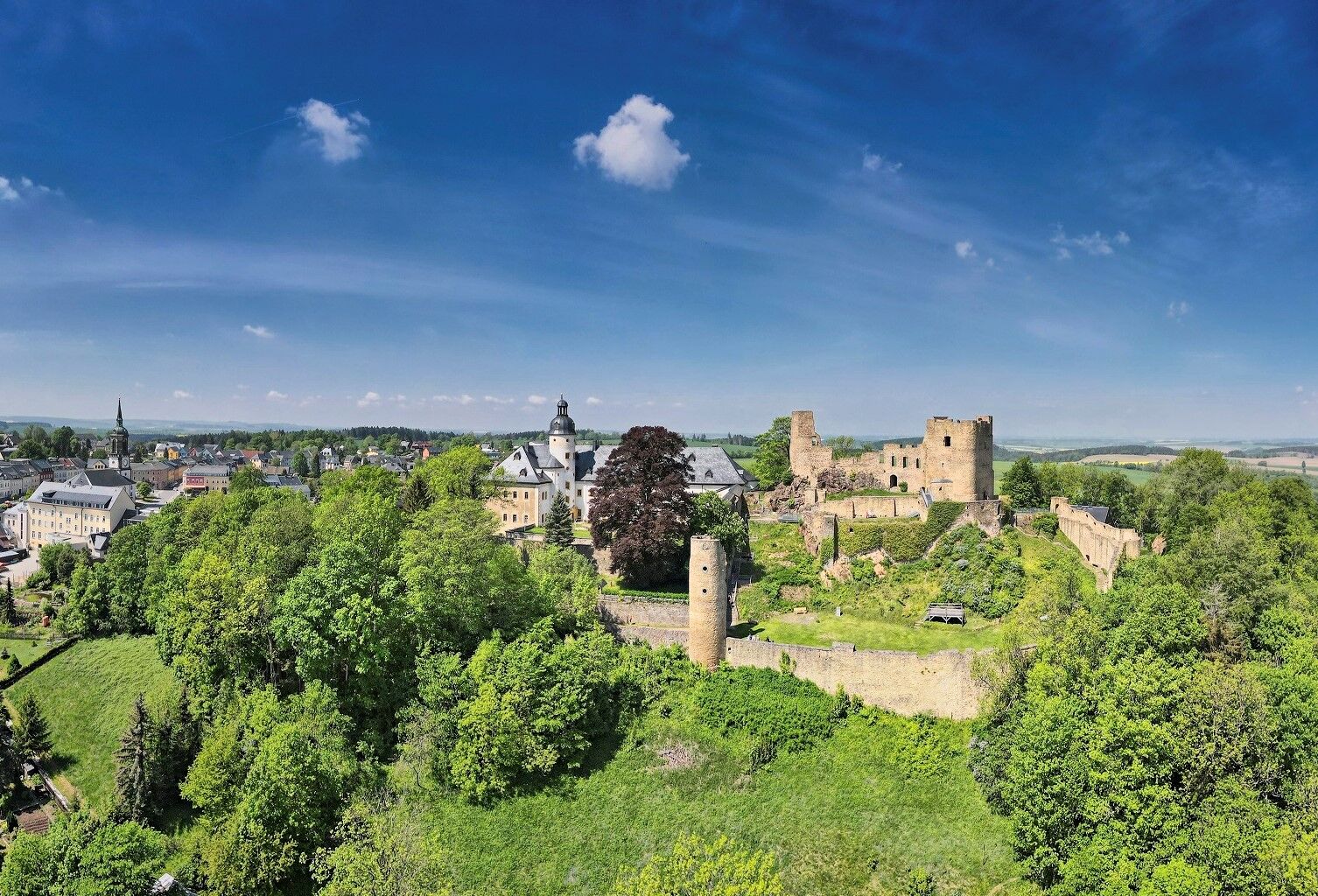
Day tour Kammweg 04 Around Frauenstein 35km 2-day hike
Starting from the tourist information office, follow the white-green-white markings in the direction of the youth hostel, at the Lärchenweg junction continue on white-green-white in the direction of Nassau....
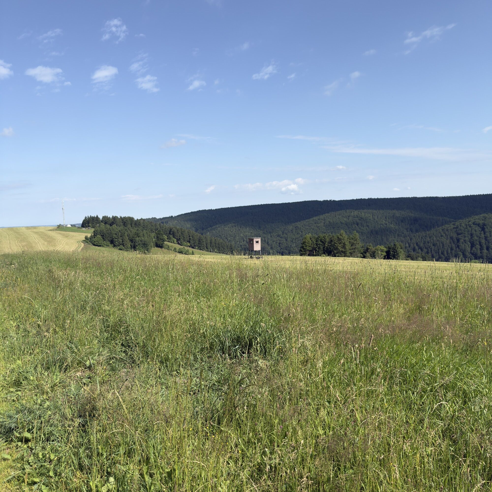
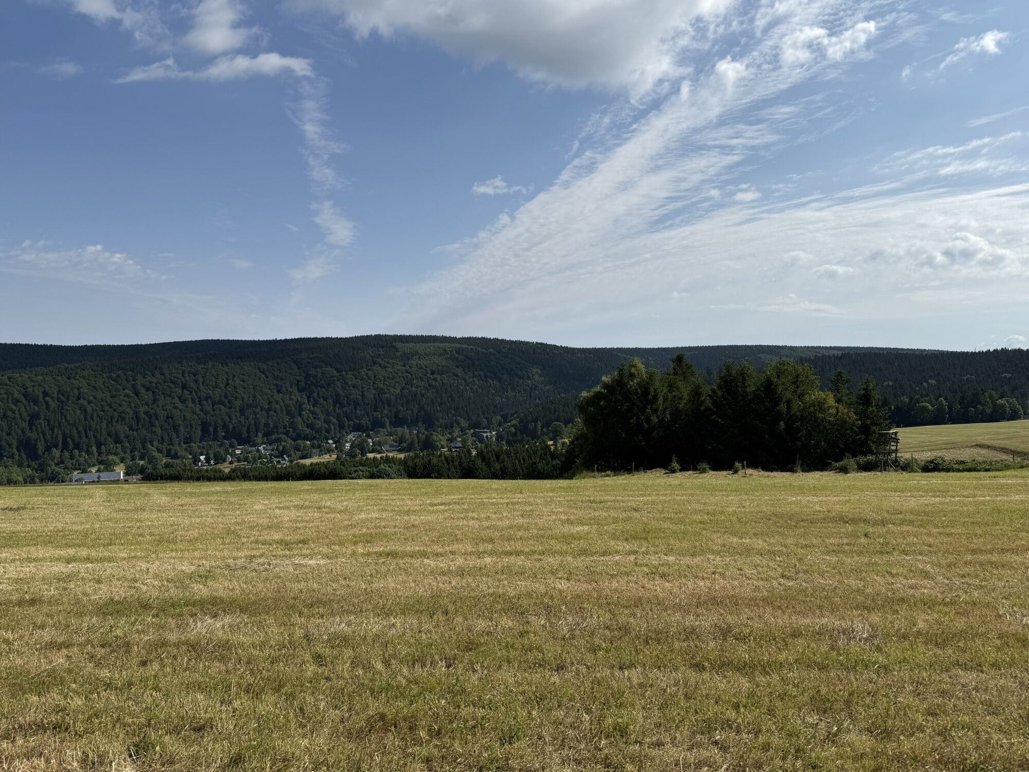
Starting from the tourist information office, follow the white-green-white markings in the direction of the youth hostel, at the Lärchenweg junction continue on white-green-white in the direction of Nassau. At the Pombach bridge, keep left onto the Nassauer Weg and change to the white-red-white markings in the direction of Nassau. At the village church in Nassau, continue on the white-red-white markings in the direction of Bienenmühle. At the Querweg junction, turn left onto the white-yellow-white signs to Rechenberger Straße. Turn right on white-green-white markings to Rechenberg, past the brewery museum and the tourist information office. In the center of the village, continue along the Kammweg in the direction of Holzhau. Continue along the Kammweg to the Schickelstorweg.
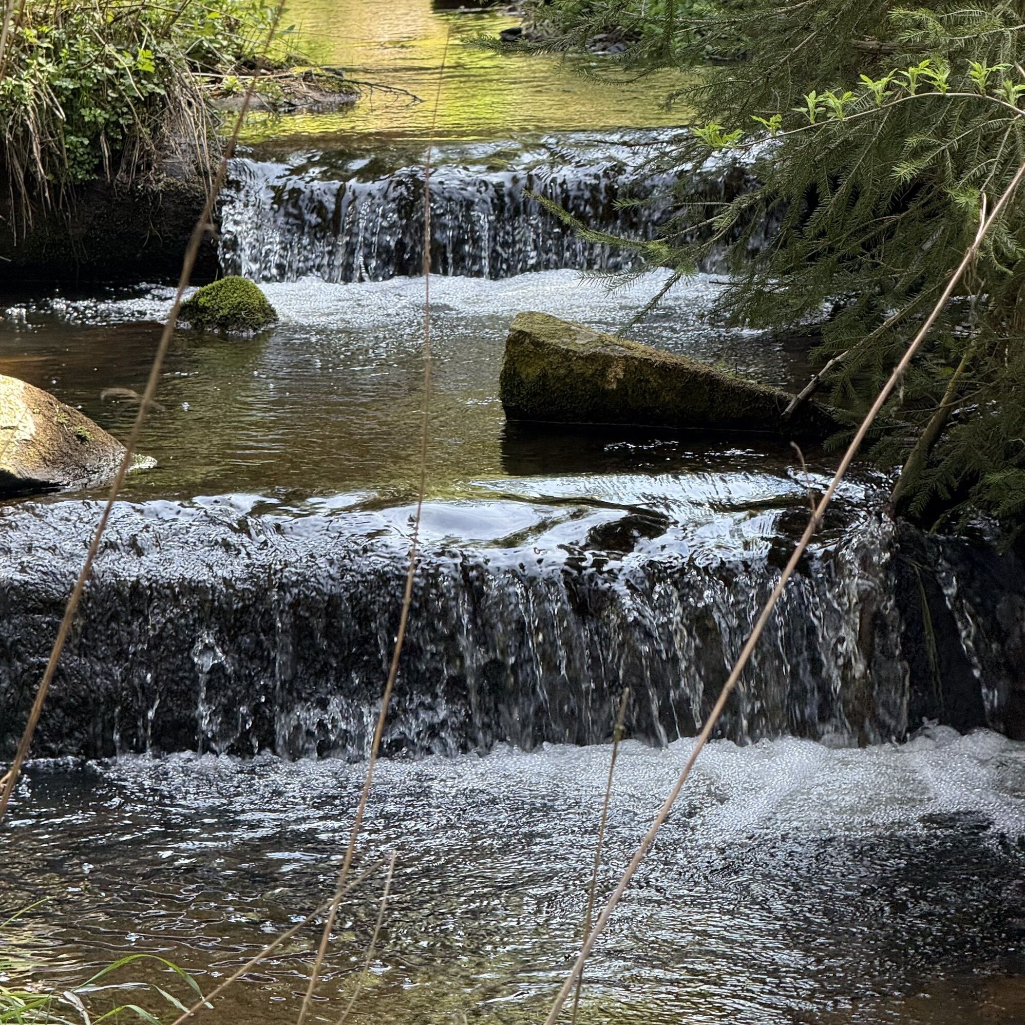
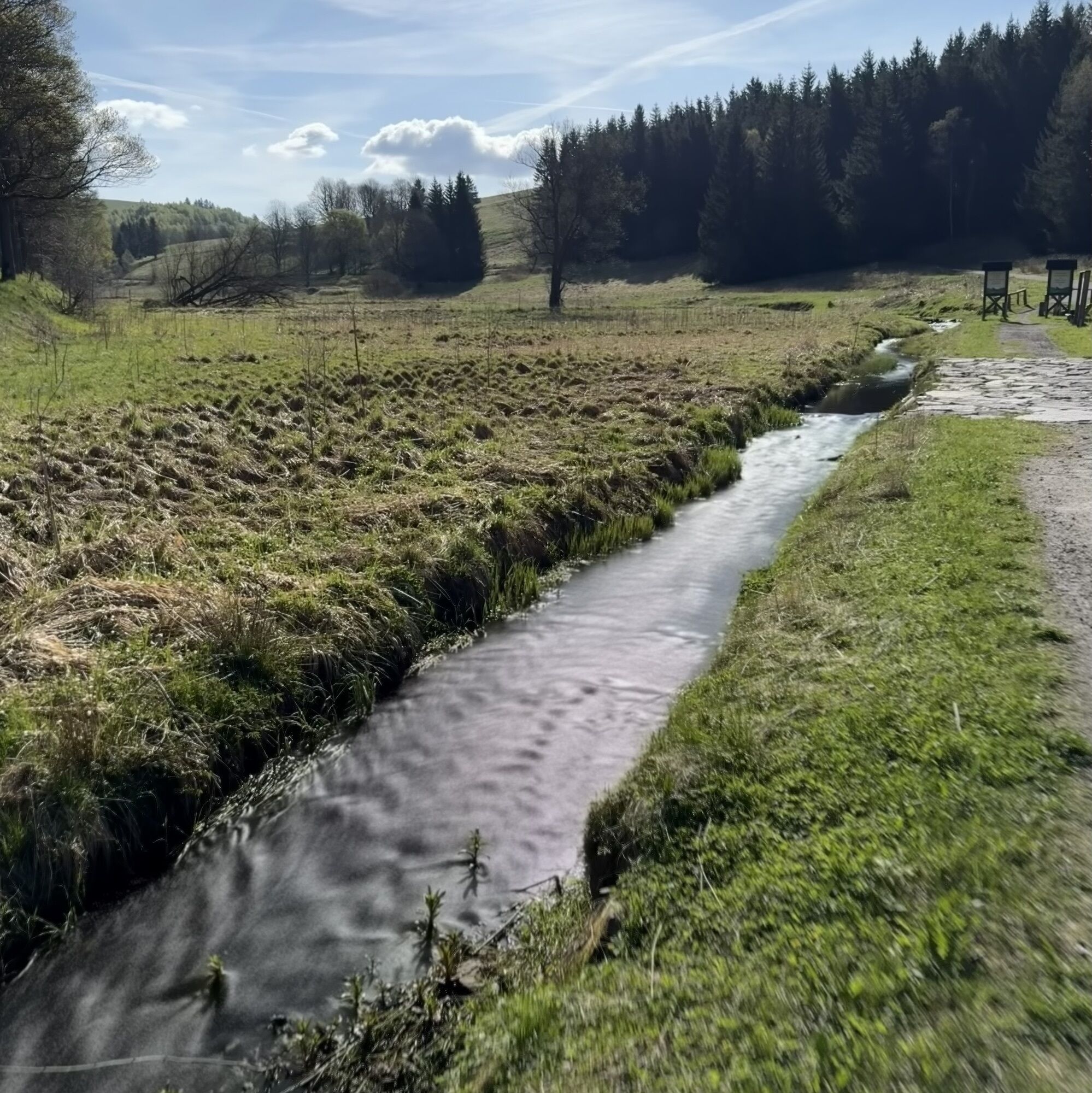
Continue on the Schickelstorweg (white-red-white) at the Kalkstraße junction, following the white-yellow-white markings through the Gimmlitztal valley past Weicheltmühle and Illingmühle to Finsterbuschmühle. From there, follow the white-green-white markings via Poststraße back to Frauenstein.

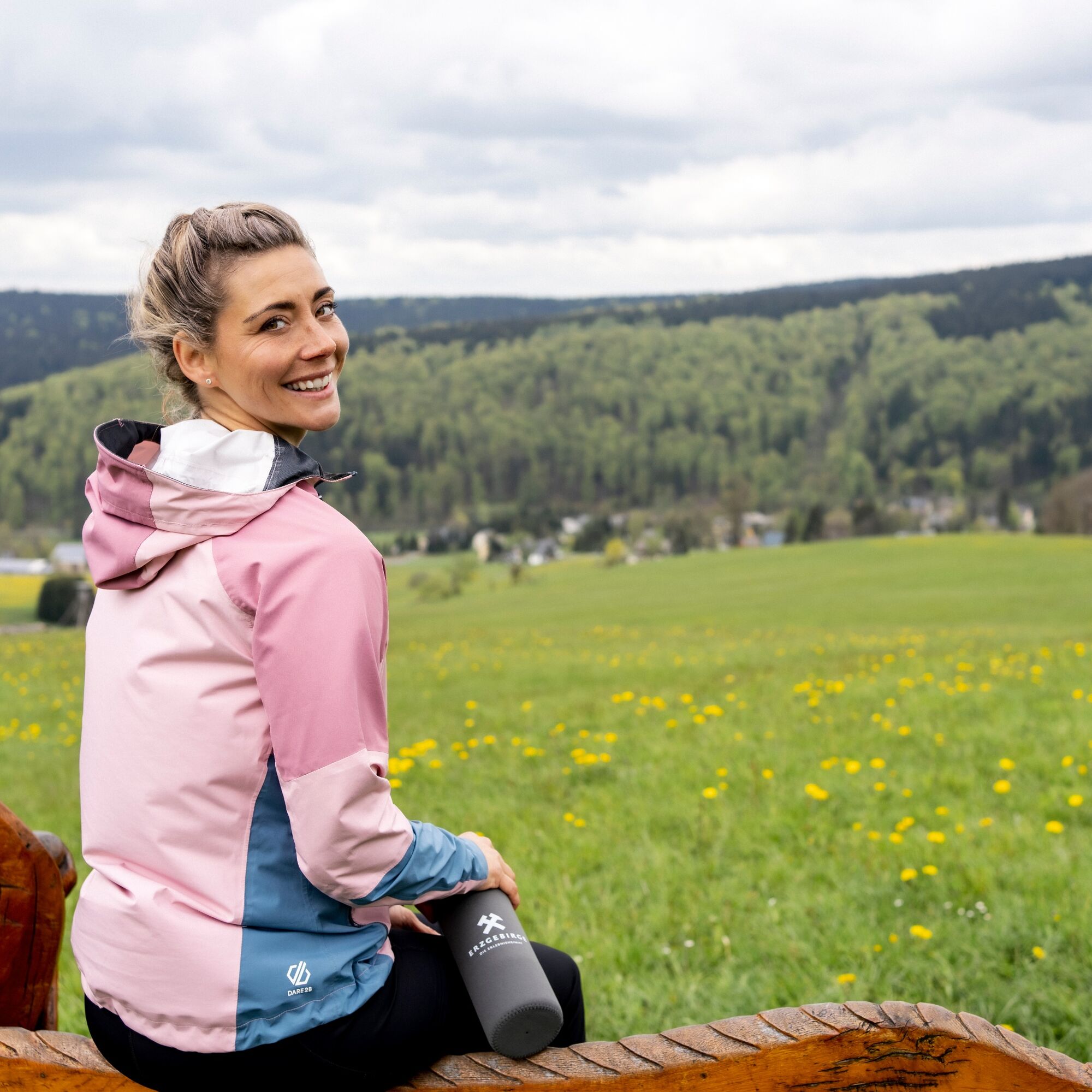
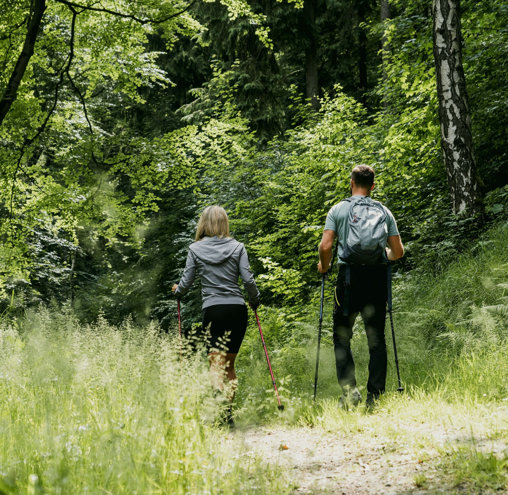
Weatherproof clothing, sturdy shoes and rucksack provisions are recommended.
Parking lot at the market in Frauenstein
Tourist-Info Frauenstein Tel. 037327 833098
The tour can be split with an overnight stay in Holzhau or Neuhermsdorf; if you choose to start on the Kammweg, an overnight stay in Frauenstein is also an option.
Popularne wycieczki w okolicy
Oberbärenburg- Tellkoppe- Ausichtsturm, Deutschland Altenberg im Erzgebirge, Deutschland
światłoWędrówka 8,08 km- 3,0
Kahleberg-Geisingberg-Scharspitze-Biwakkuppe, Deutschland Altenberg im Erzgebirge, Deutschland
średniWędrówka 14,6 km In der Mitte thront der Schwartenberg - No 7 -
średniWędrówka 8,64 km- 5,0
Circular hike to the Rauschenbach reservoir
Wędrówka 9,52 km Day tour Kammweg 02 Around Altenberg 14km
średniWędrówka 14,6 km- 3,0
Day tour Kammweg around Neuhausen and the Schwartenberg
Wędrówka 12,5 km - 3,5
Neuhausen/Erzgebirge nach Seiffen über den Schwartenberg
światłoWędrówka 14,3 km - 3,0
Wanderung mit Hund und Familie
średniWędrówka 6,86 km Neuhausen Panorama Trail -No 9-
średniWędrówka 10,1 kmBlockline Loop 1: Holzhau " Altenberg " Hermsdorf " Holzhau
ciężkiMountainbike 55,0 km
Wędrówki i tropienie


Nie przegap ofert i inspiracji na następne wakacje
Twój adres e-mail została dodana do listy mailingowej.