


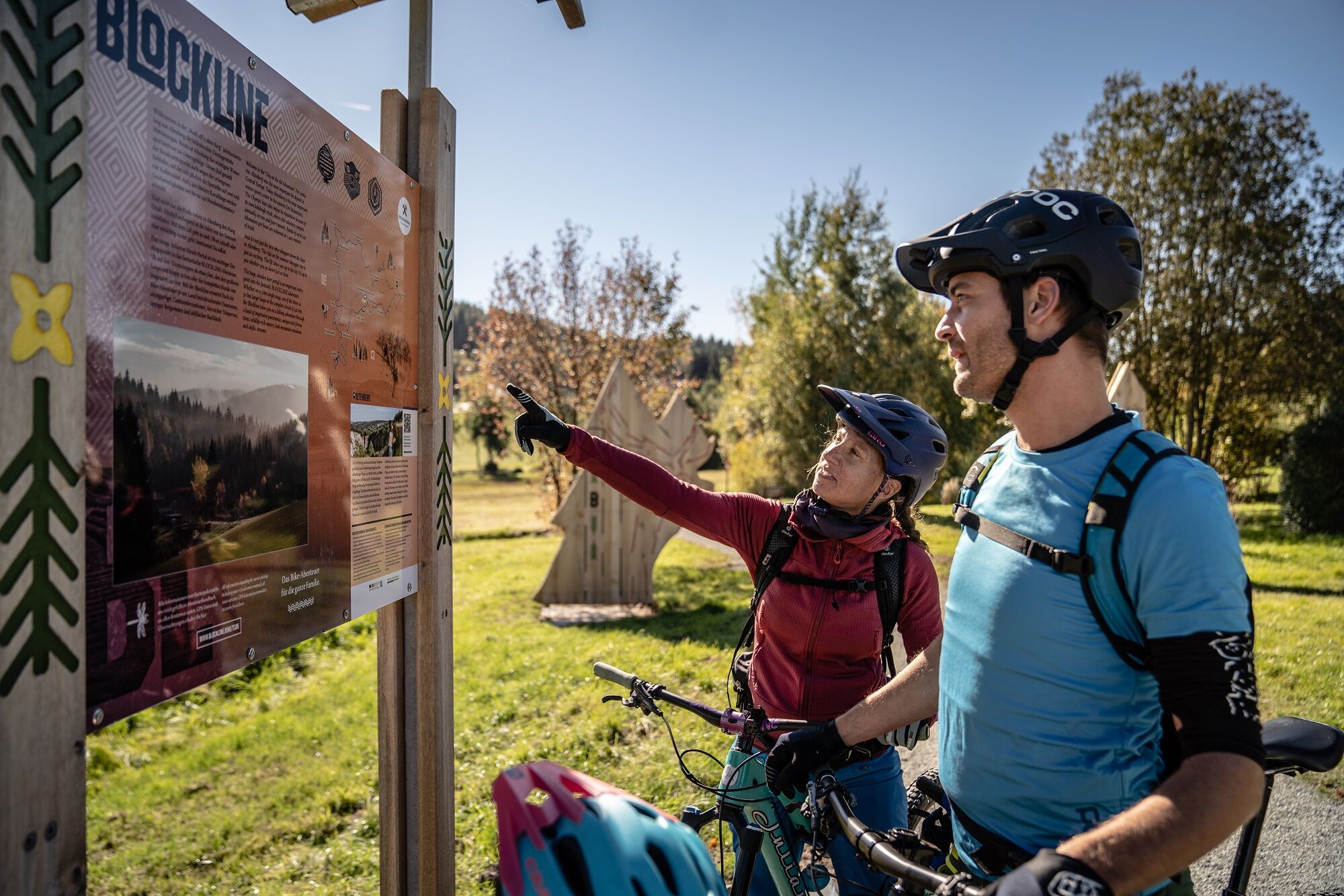
Blockline Loop 1: Holzhau " Altenberg " Hermsdorf " Holzhau
This stage is like taking a dip in nature: simply switch off and immerse yourself in the lush green of the forests. The diversity of flora and fauna, the wonderful scent of wildflowers - young and old...
This stage is like taking a dip in nature: simply switch off and immerse yourself in the lush green of the forests. The diversity of flora and fauna, the wonderful scent of wildflowers - young and old alike will be delighted up here. History buffs can explore the evidence of Altenberg mining along the route.

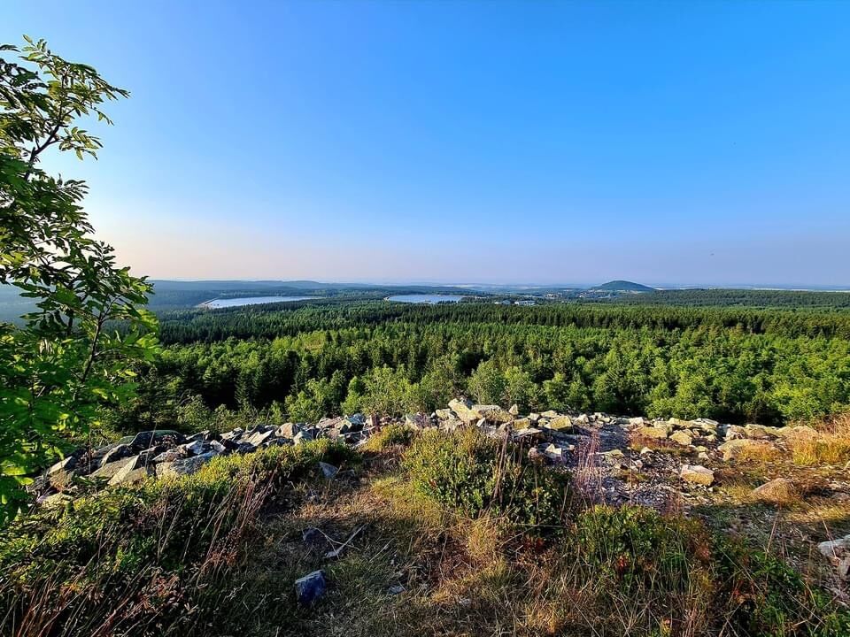
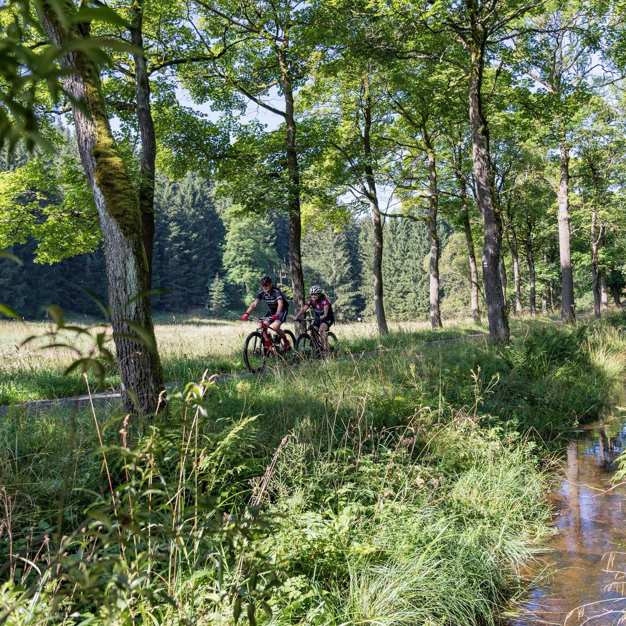
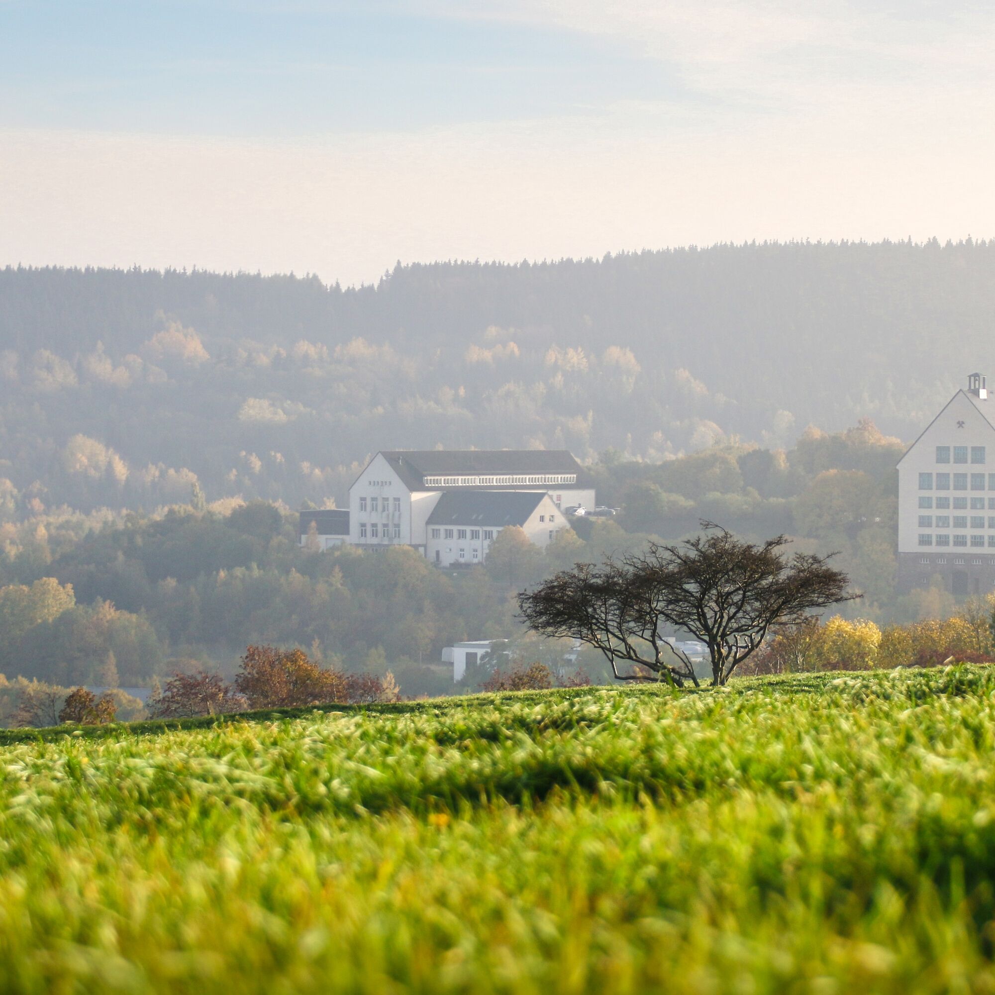
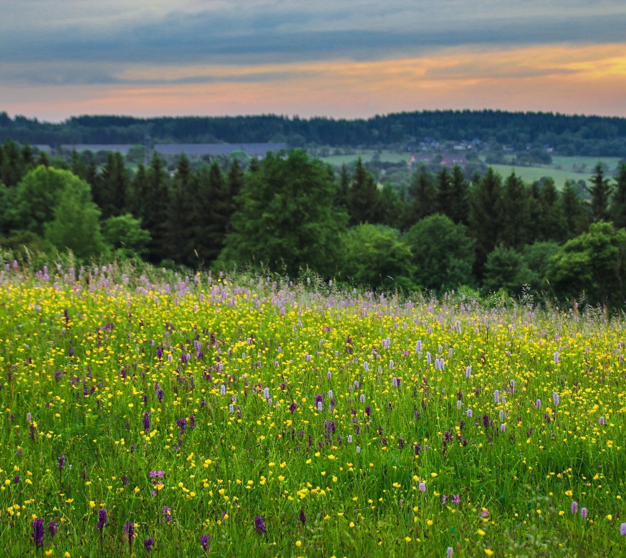
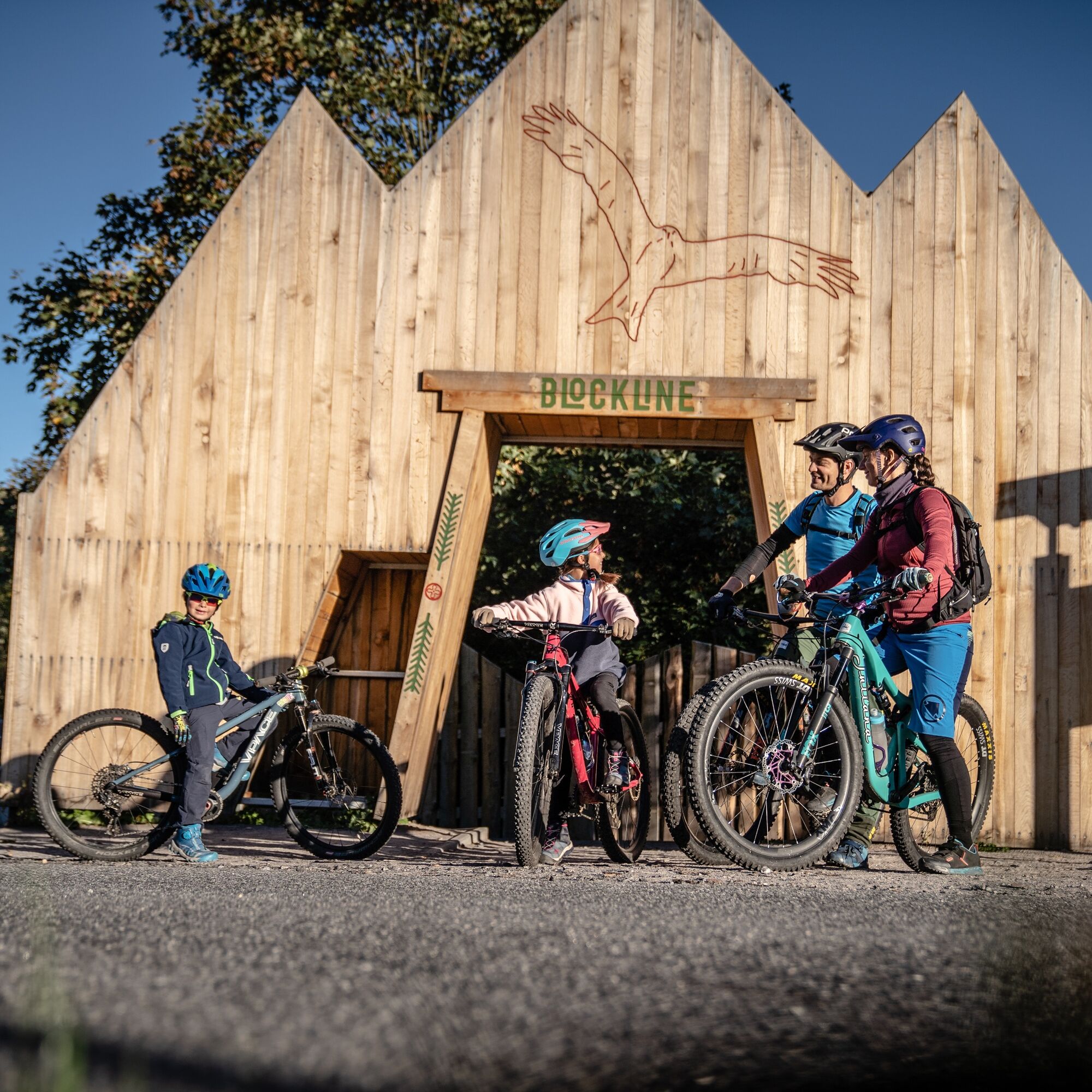

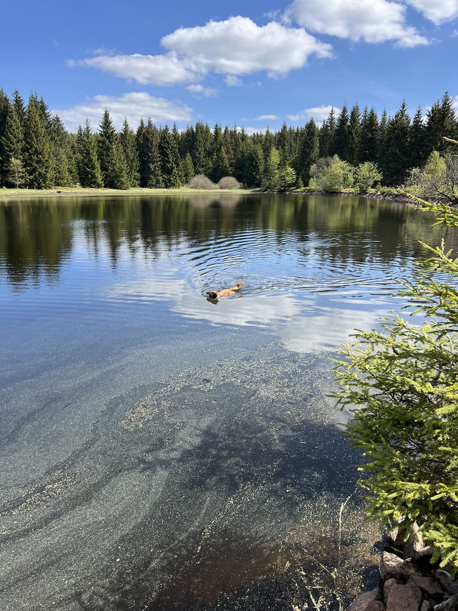
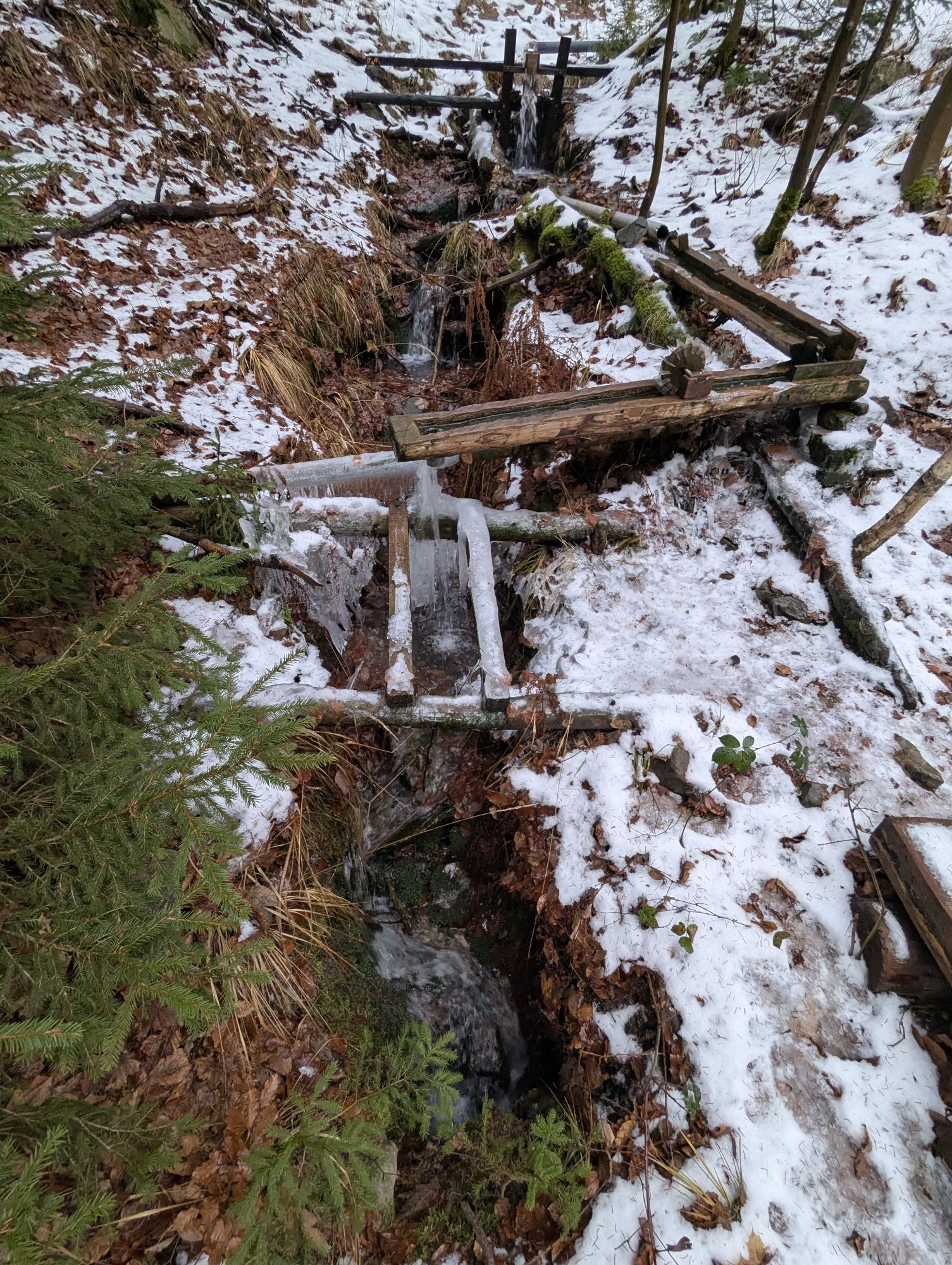
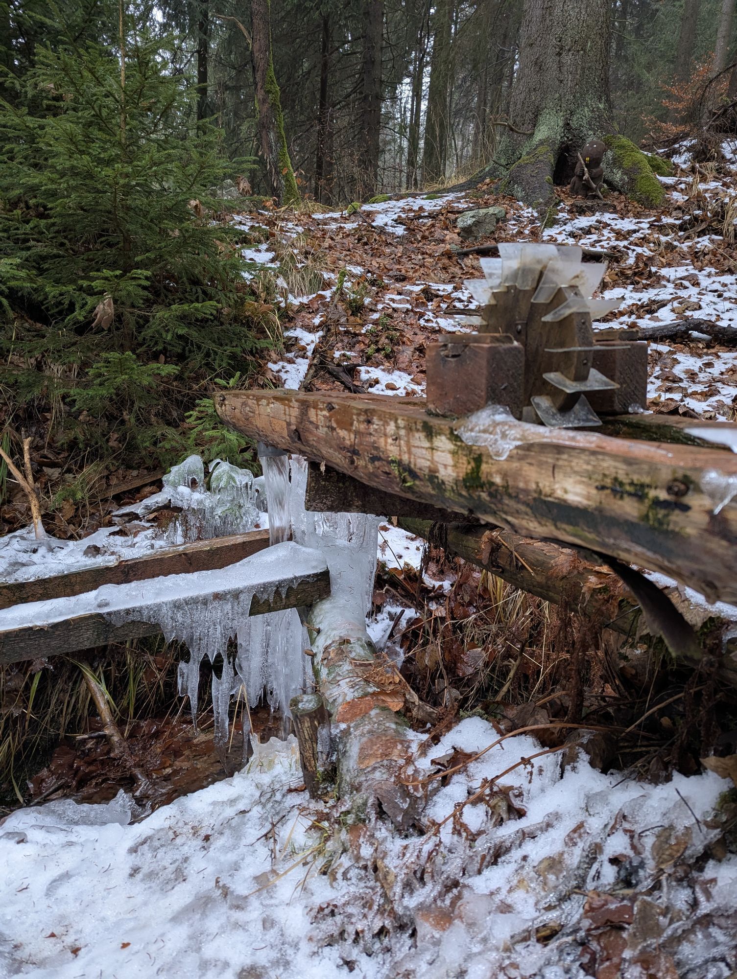
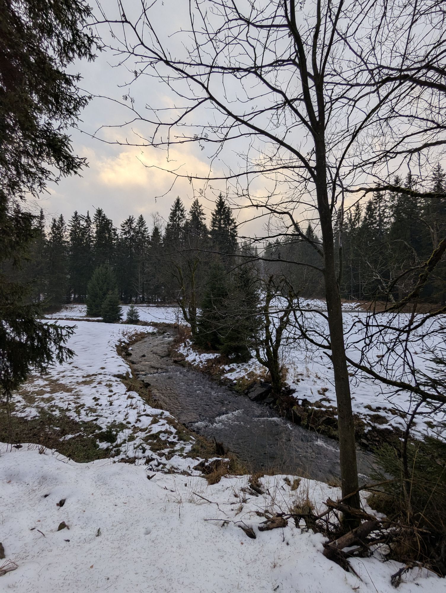
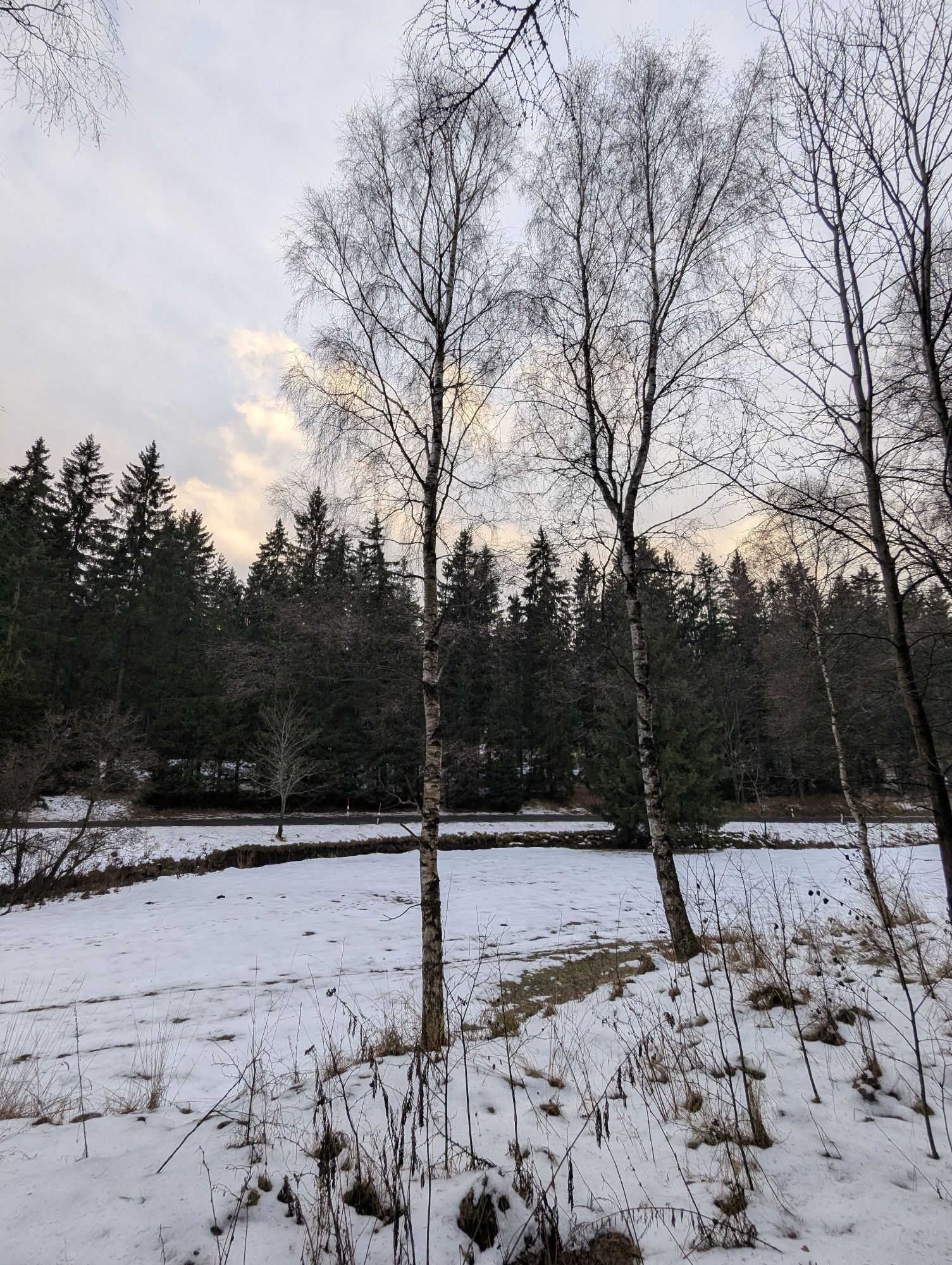
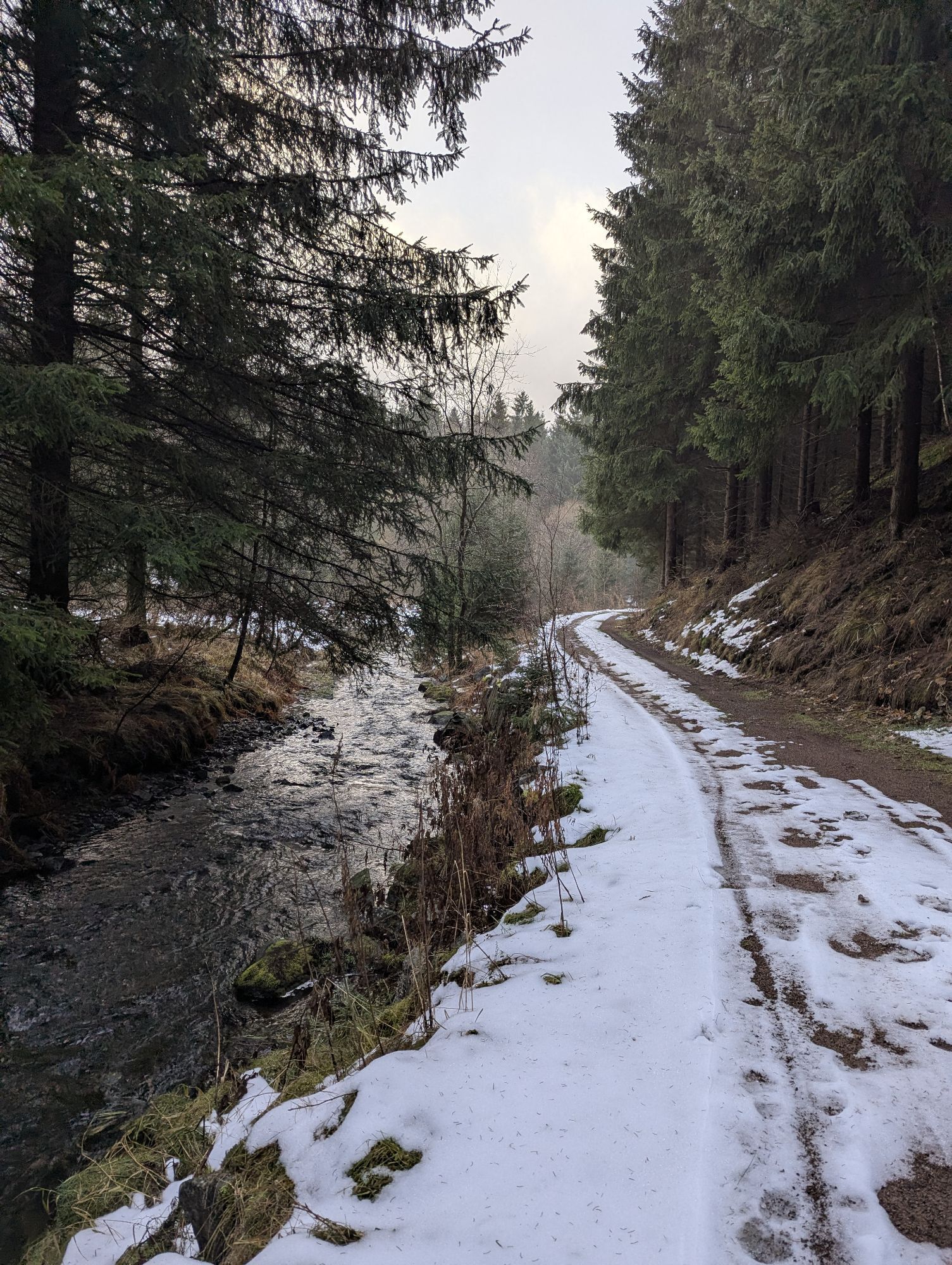
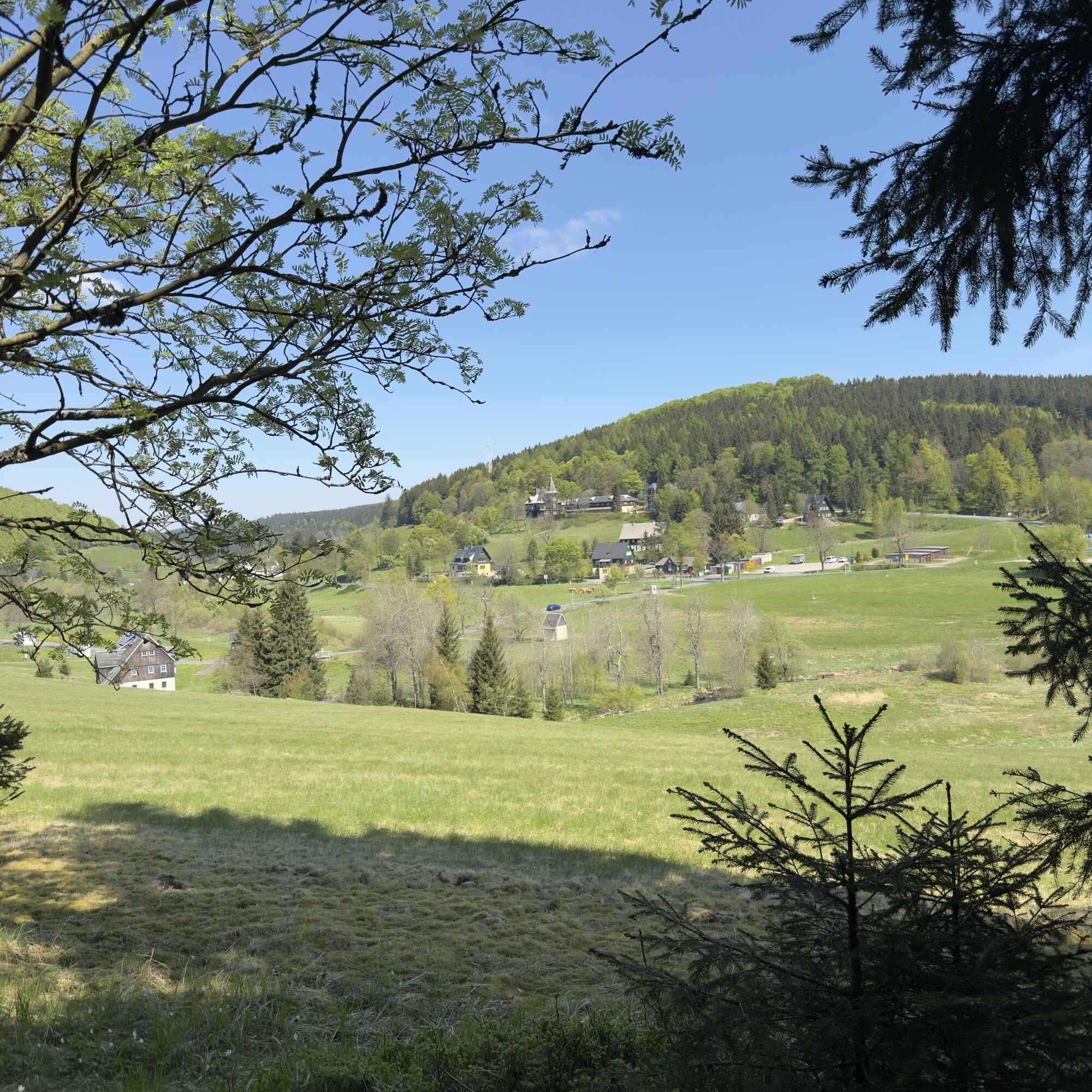
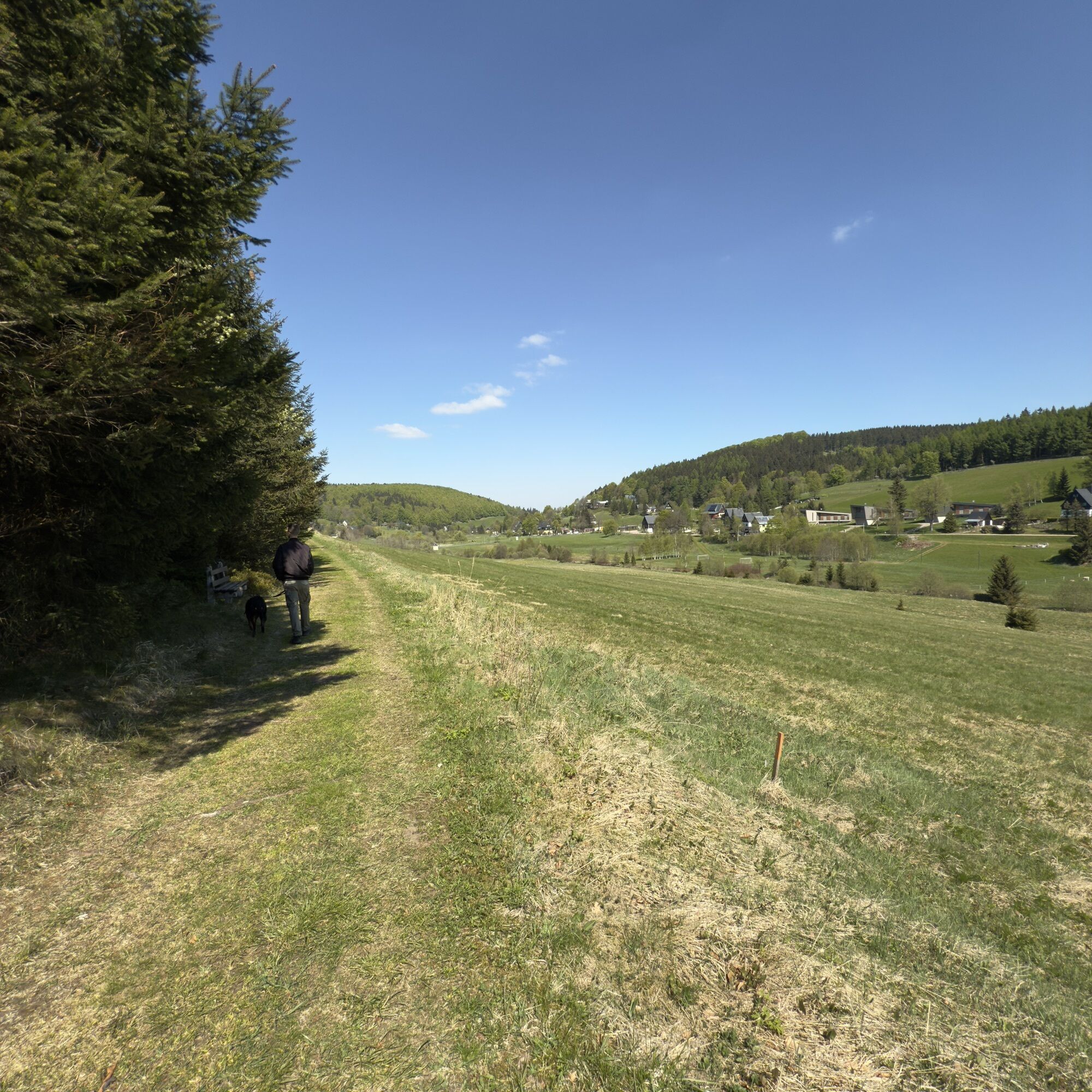
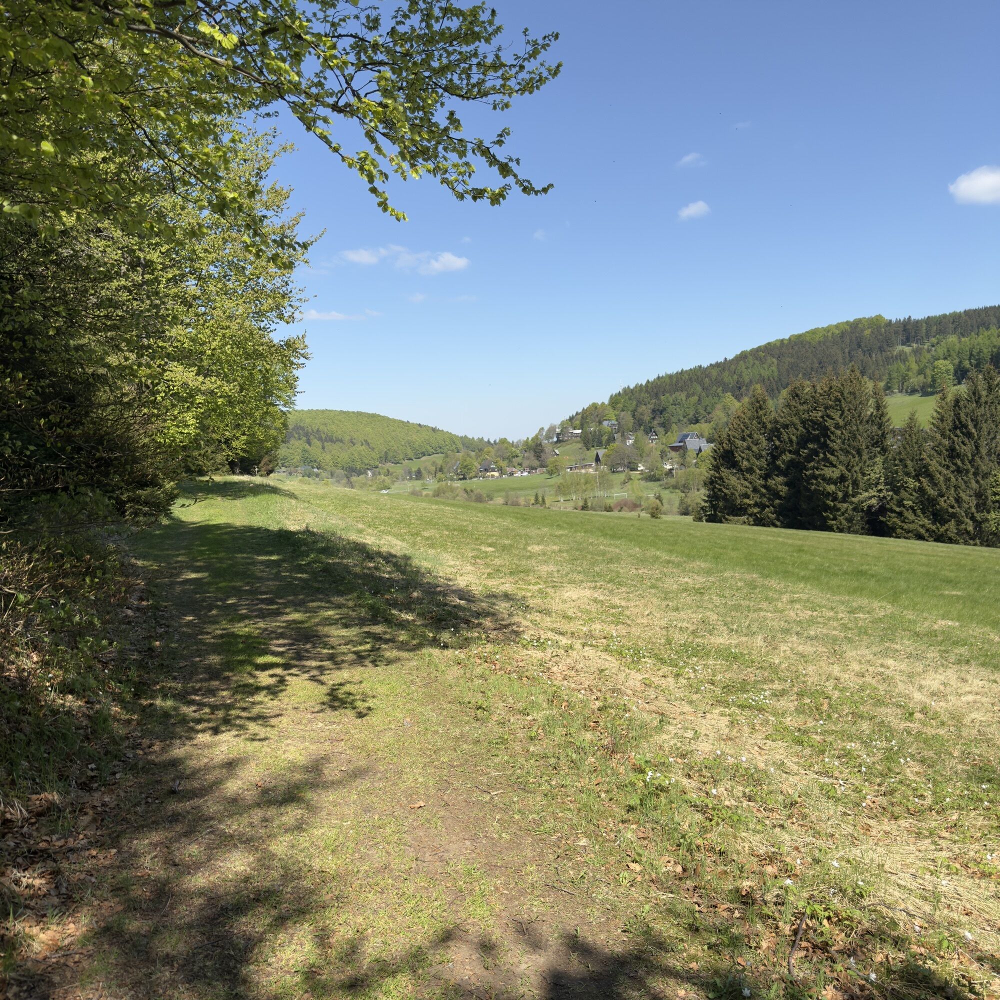
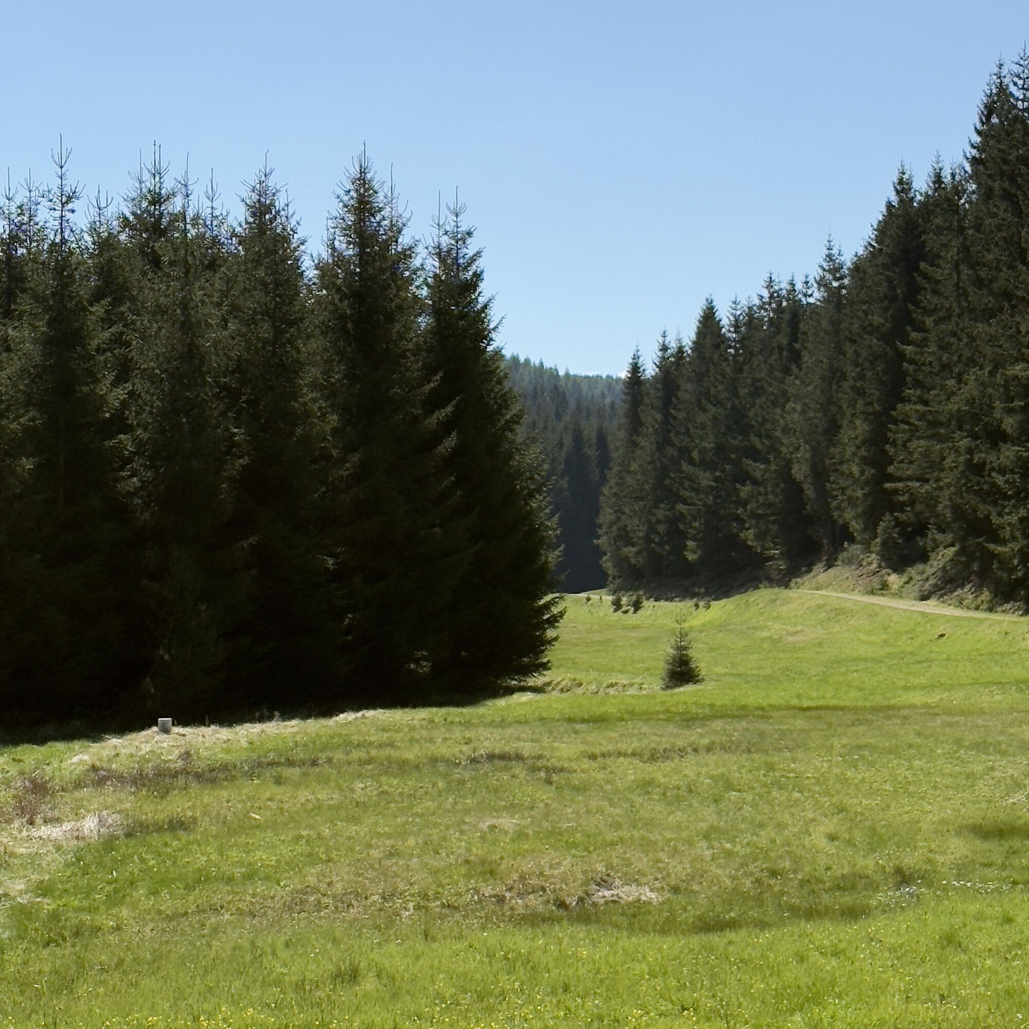
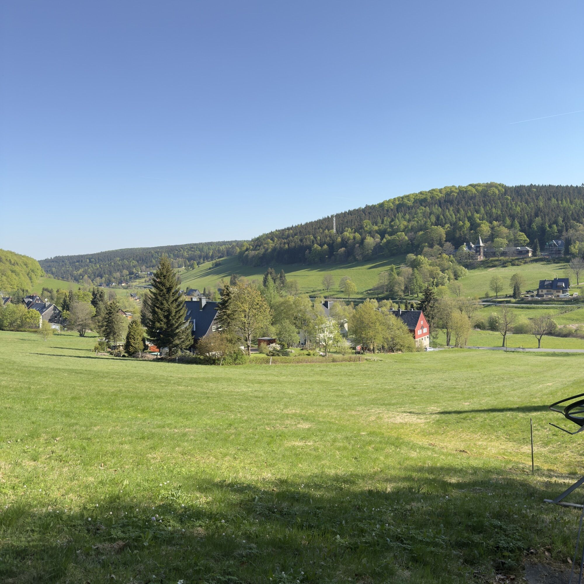
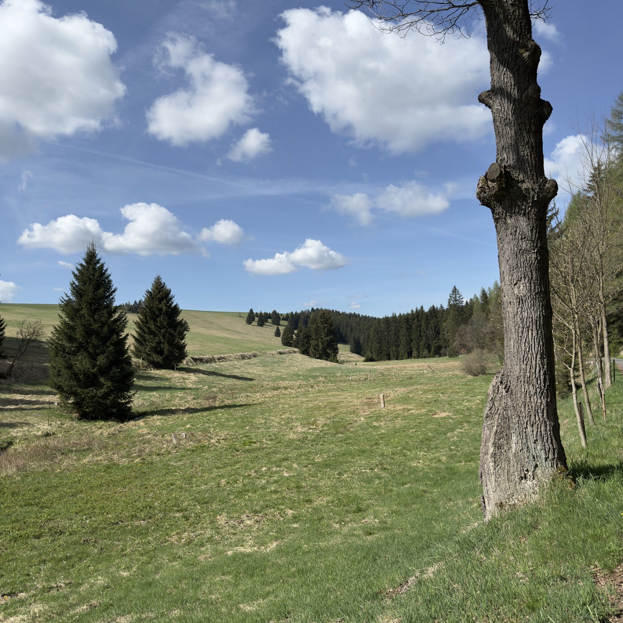
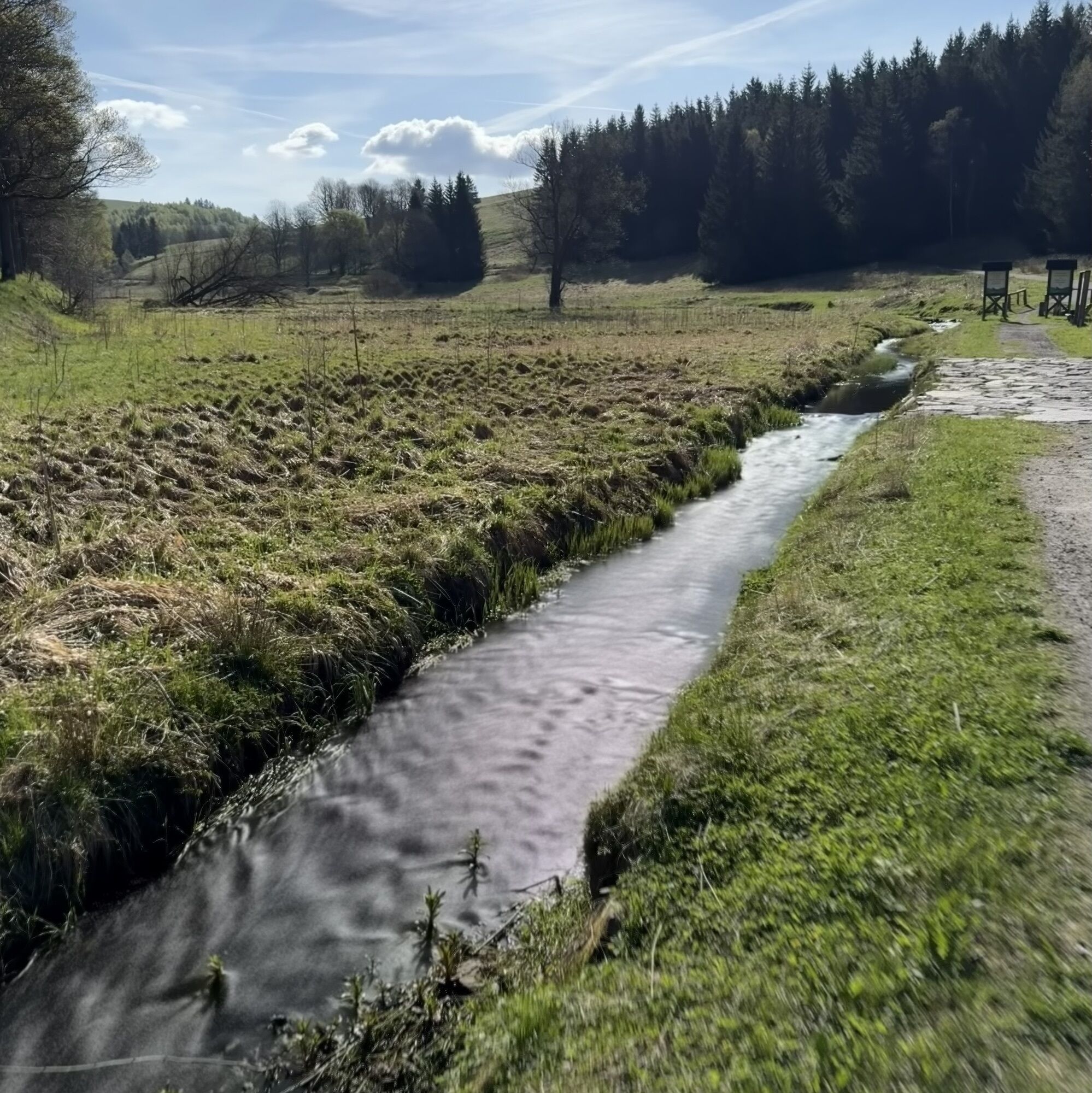
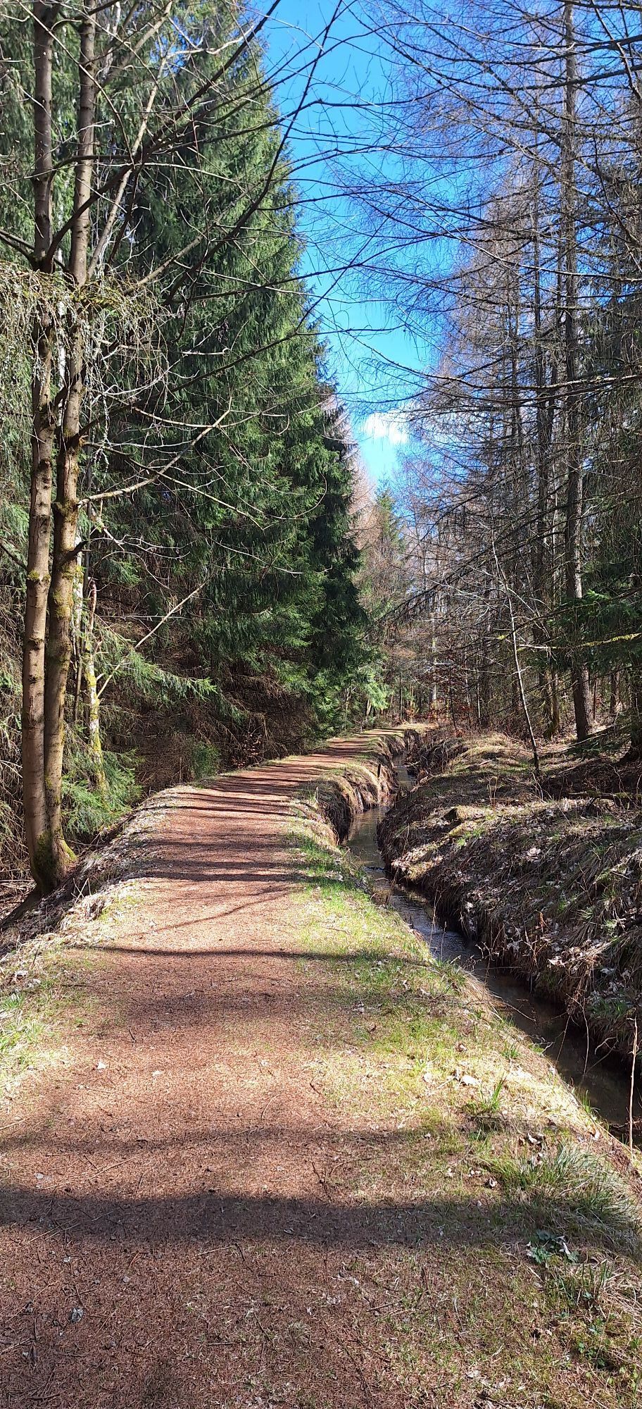
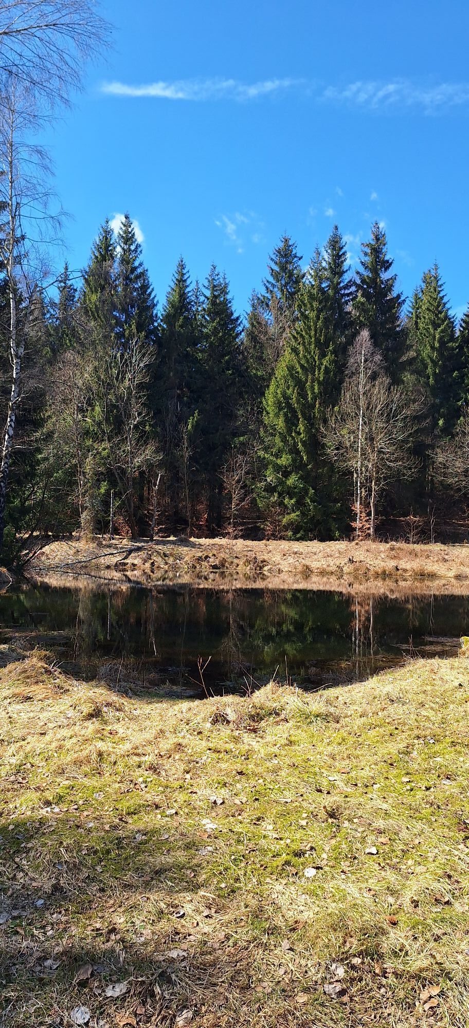
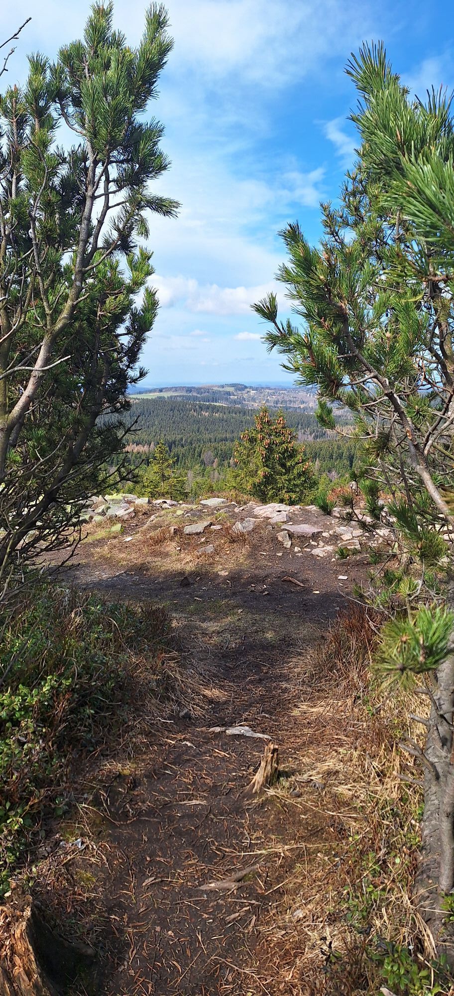
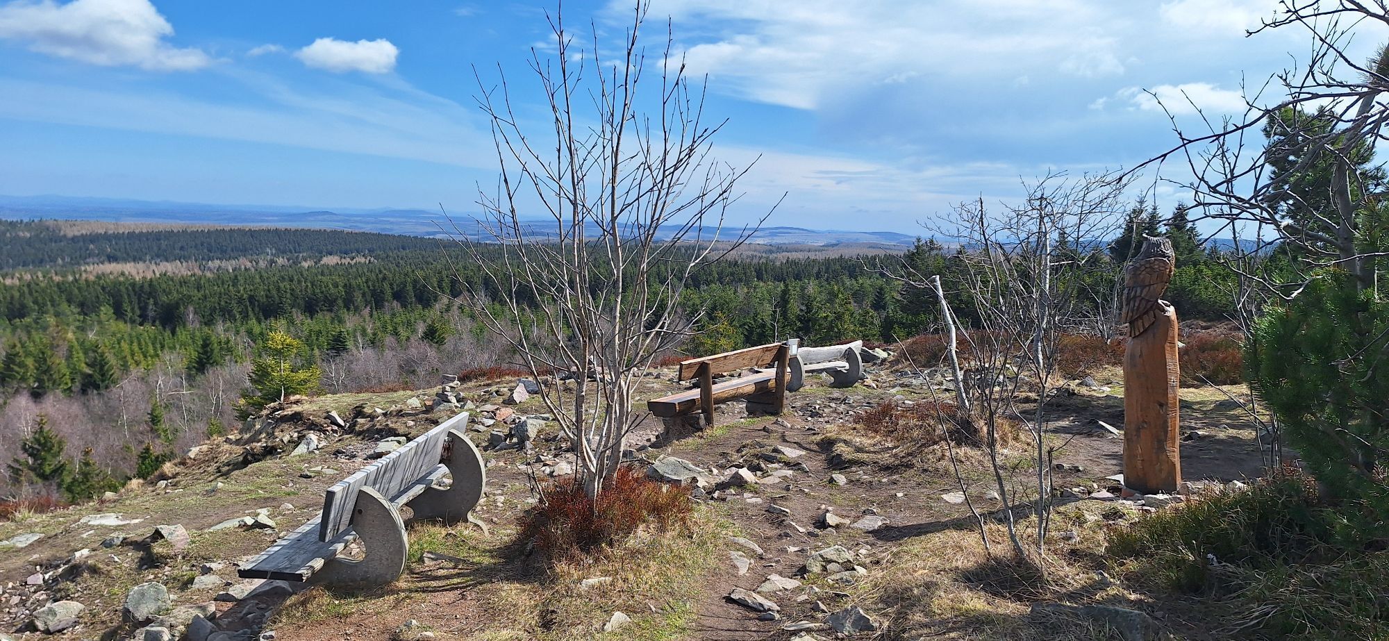
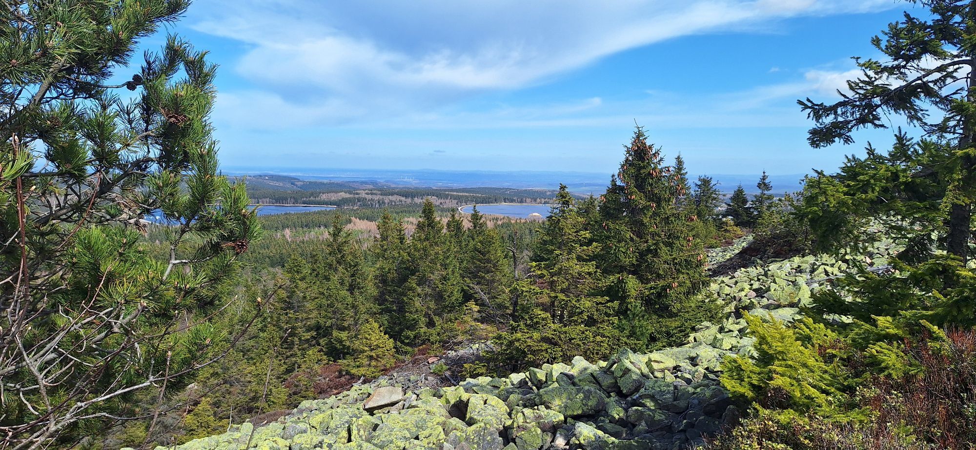
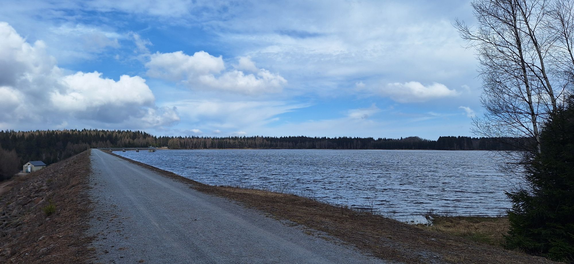
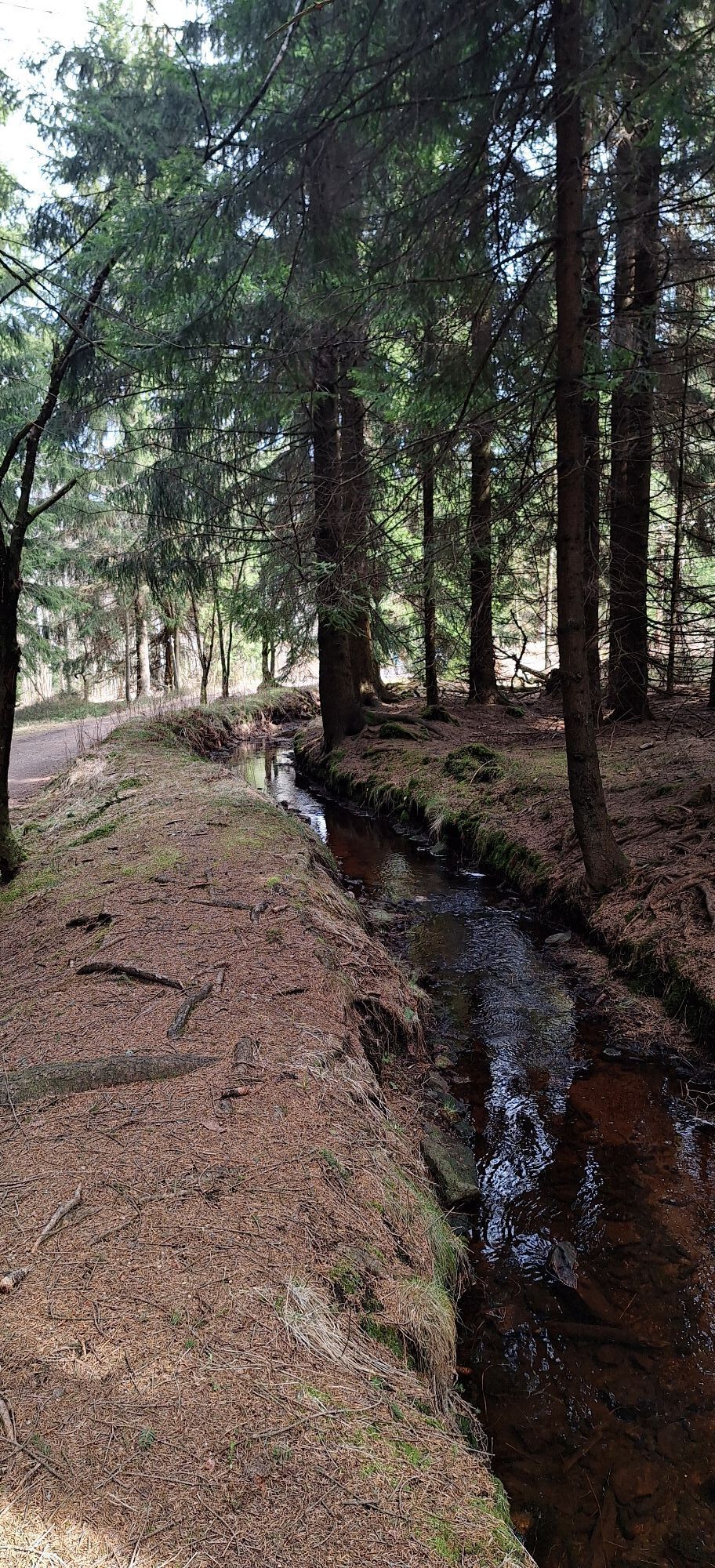
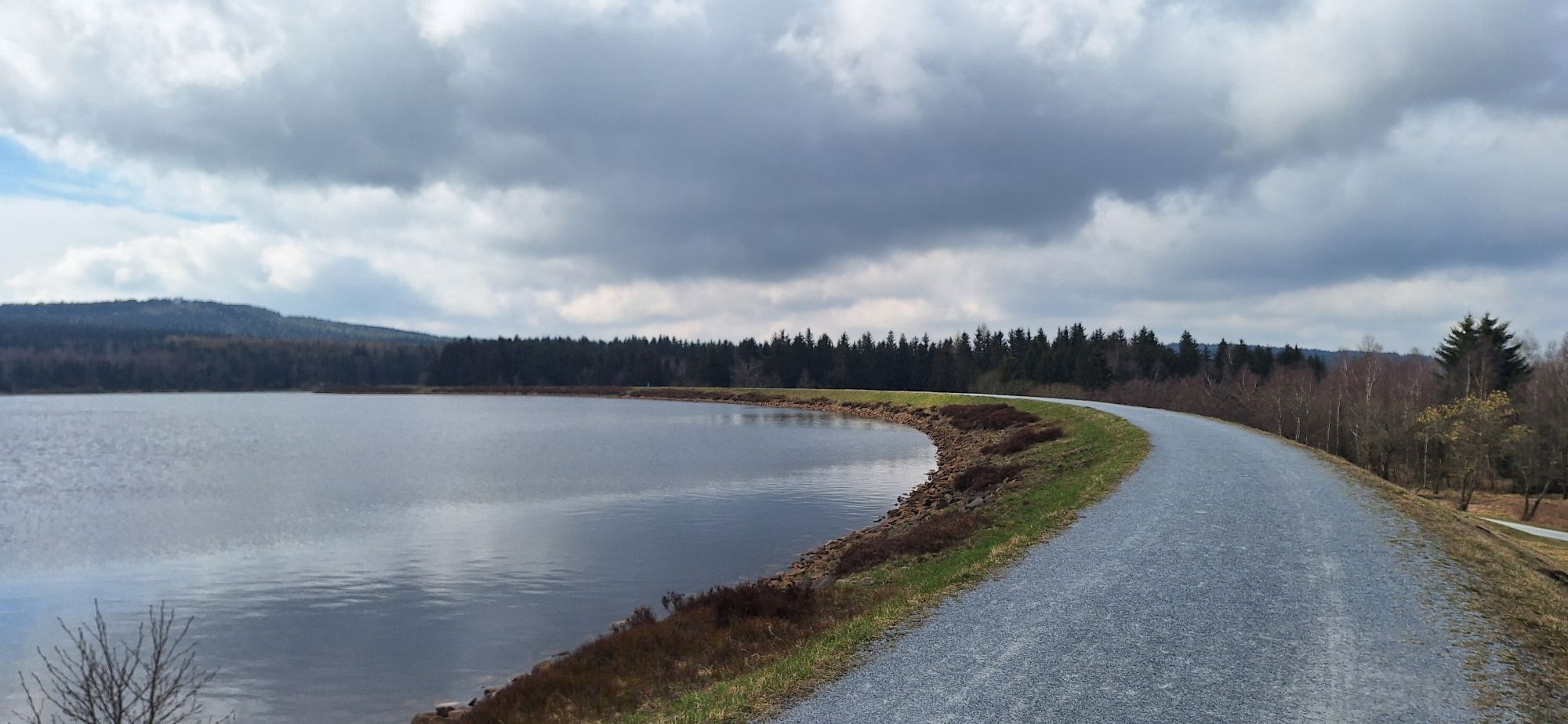
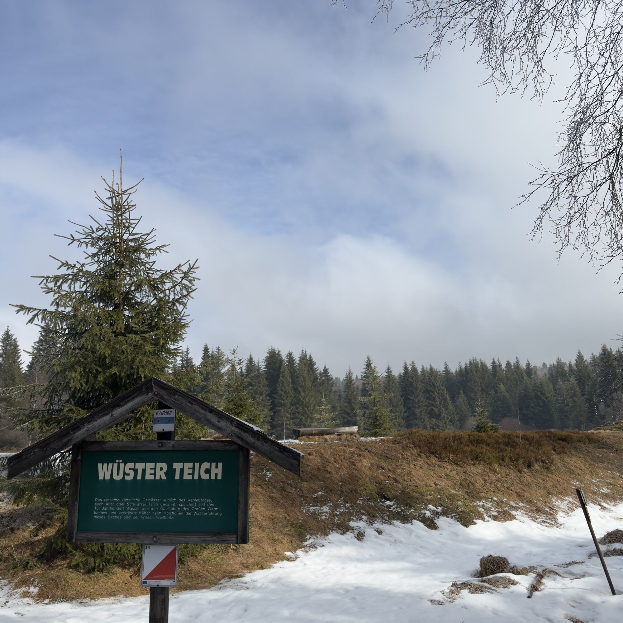
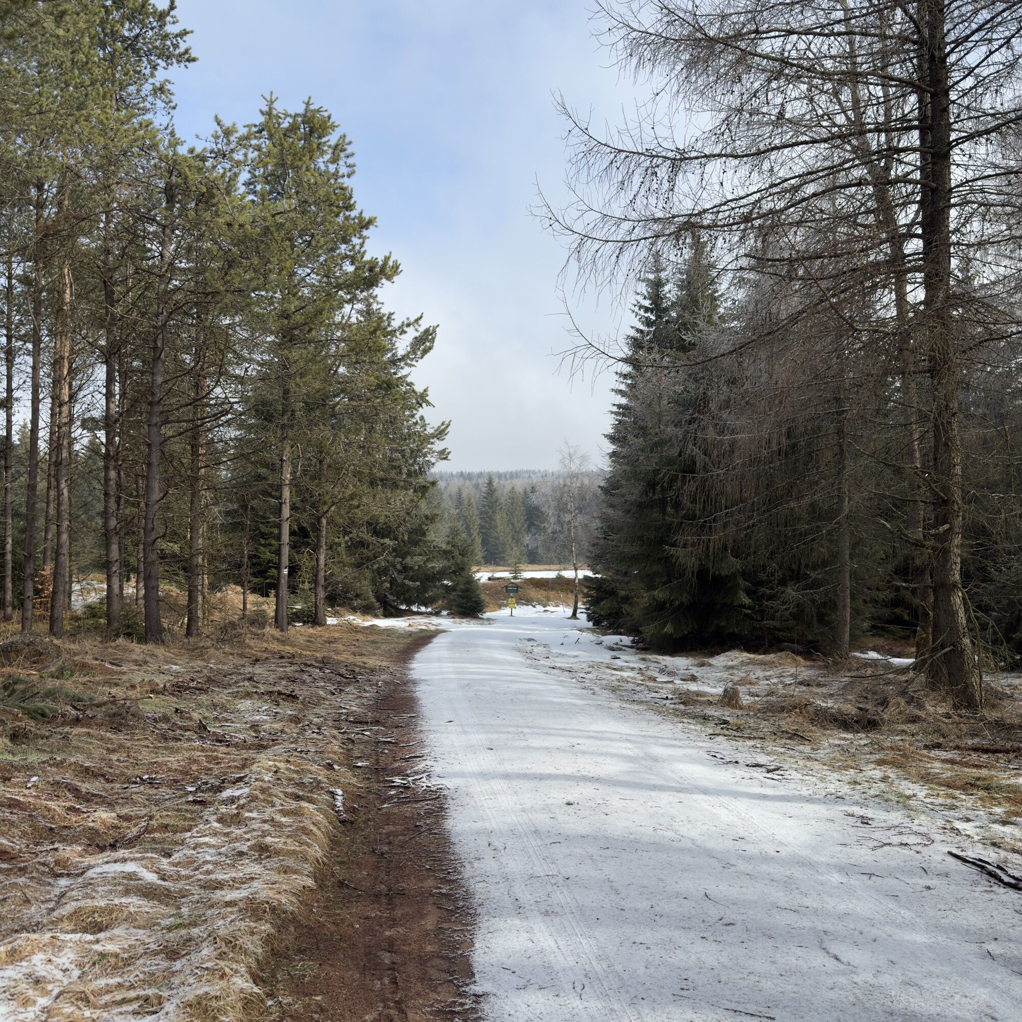
Starting in Holzhau, the route leads over the Steinkuppe to the Hemmschuh nature reserve with its fragrant bear's bane, blue devil's claw and bright orange fire lilies.We continue on to two brothers of a special kind: the Großer Lugstein and the Kleiner Lugstein are part of the Erzgebirge ridge and have a height difference of just three centimetres. The loop route takes us on to a mystical place: the Georgenfelder Hochmoor is a special natural treasure. Only a few raised bog areas are so well preserved. A unique landscape with rare vegetation: bog pine, cranberry, sundew and many more characterize the landscape here. The route leads up to the Kahleberg, with a fantastic panoramic view - and on to the Altenberg winter sports center. Leave the Galgenteiche ponds behind you and follow the BLOCKLINE into the Weißbachtalm, one of the most charming valleys in the region. After crossing the wooden portal in Hermsdorf, the route leads you back to Holzhau via the loop connection.
Tak
Tak
Tak
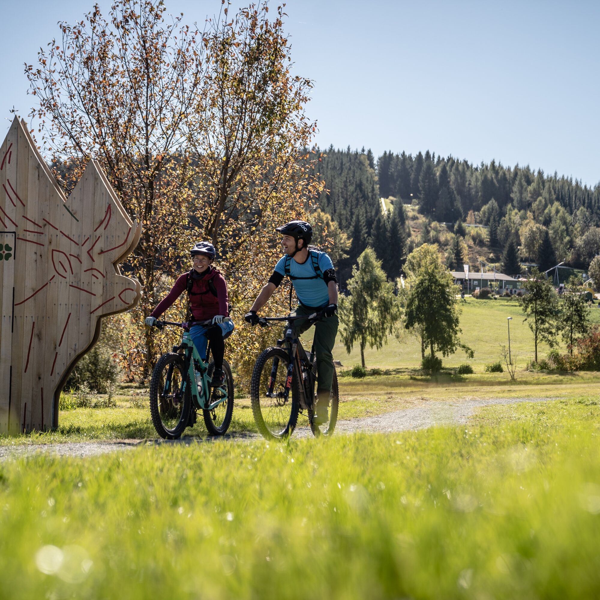
Mountain bike, trekking bike or gravel bike, rain protection, sun protection, first aid kit, sufficient drinks and provisions, bike helmet, bike goggles
Julius Schmidt Steig section (Altenberg- OT Schellerhau): Watch out for hikers coming from the opposite direction!
From the A 4 exit Siebenlehn, continue to Freiberg, Frauenstein. on the B 171 towards Rechenberg-Bienenmühle to Holzhau.from the A 13 to Dresden, on the B 170/171 to Rechenberg-Bienenmühle, then left to Holzhau. From the A 72 exit Chemnitz Süd, Südring to the B 174 via Zschopau to the Heinzebank junction, at the traffic lights turn left onto the B 101, in Mittelsaida turn right to Sayda - Rechenberg-Bienenmühle then right to Holzhau.
The Freiberg Railway runs between Freiberg and Holzhau. Other stations are located in Mulda and Nassau. The train also runs every hour on Saturdays, Sundays and public holidays during the day, starting at 07:40 in Freiberg, with the last train back in Freiberg at 21:15. From 15:40 the trains run every 2 hours. Please refer to the timetables for the exact departure times. Bicycles can be taken on the Freiberg Railway trains free of charge, but please book in advance as capacity is limited.
In Freiberg you have connections to the Mitteldeutsche Regiobahn trains to Chemnitz and Dresden as well as to the city bus in front of the station.
Parking lot at the ski lift Holzhau
Parking lot at the Fischerbaude
NOTE: on some signs along the route you will find the BLOCKLINE black grouse, which indicates an easier way to ride the BLOCKLINE, a so-called chickenway. We have signposted this chickenway for you on Loop 1 (stage 2).
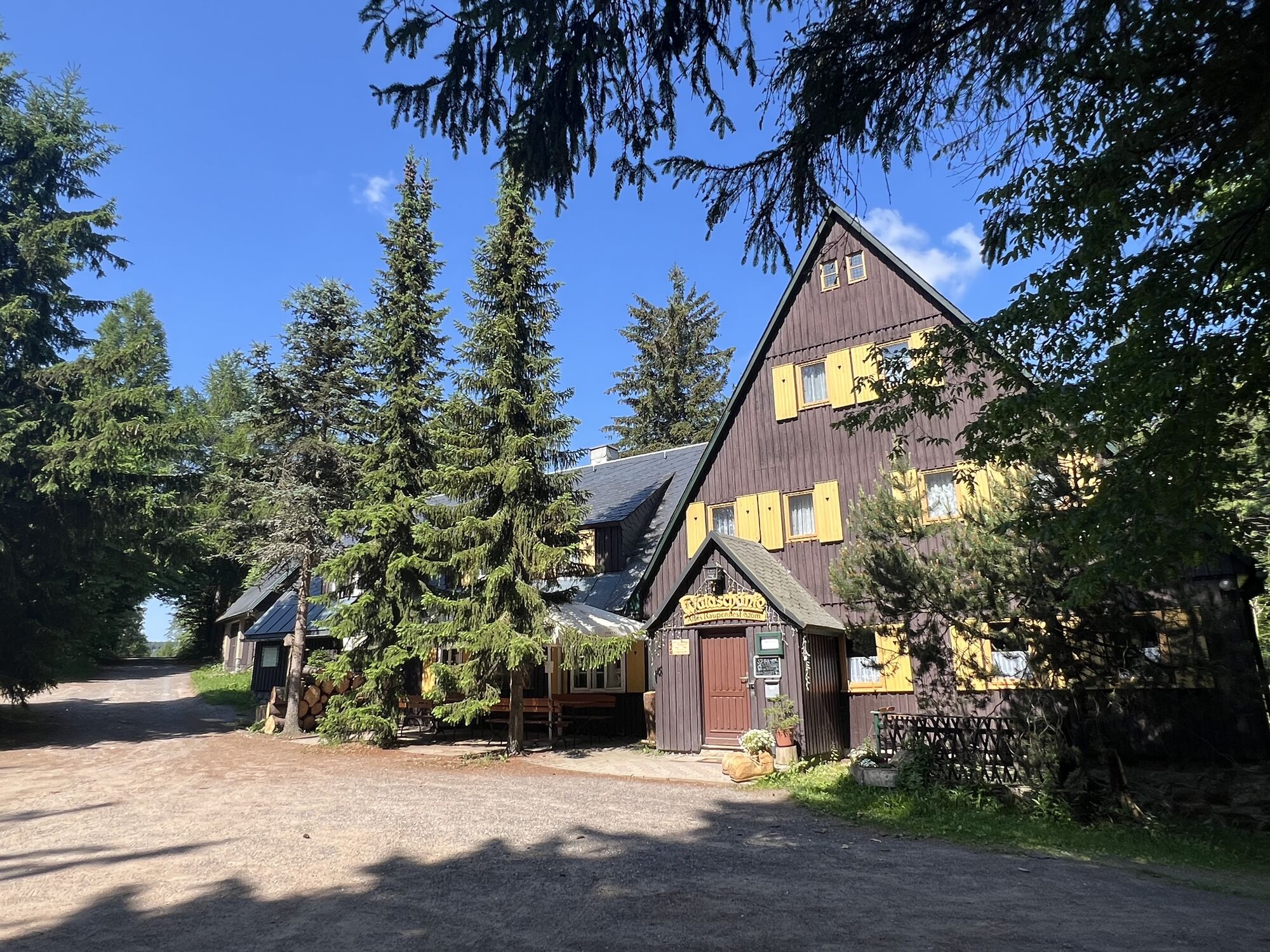
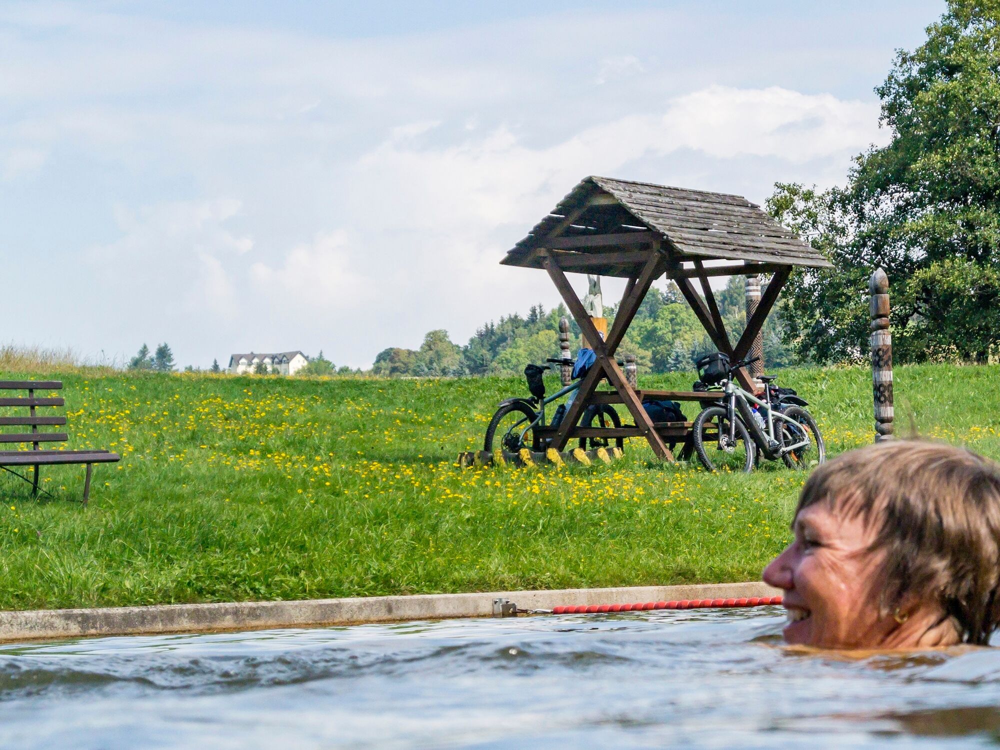
Refreshment stops along BLOCKLINE- Loop 1
Bike and e-bike rental along the Blockline
Hemmschuh nature reserve
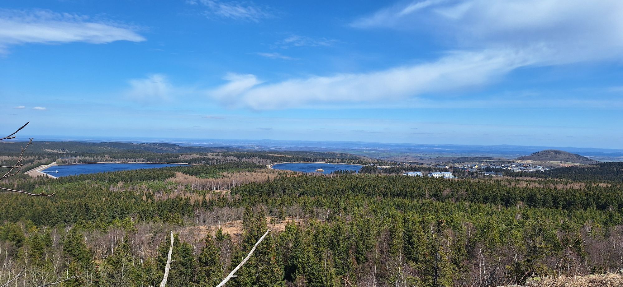
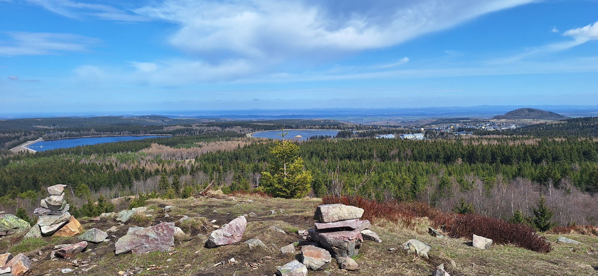
View from the Kahleberg
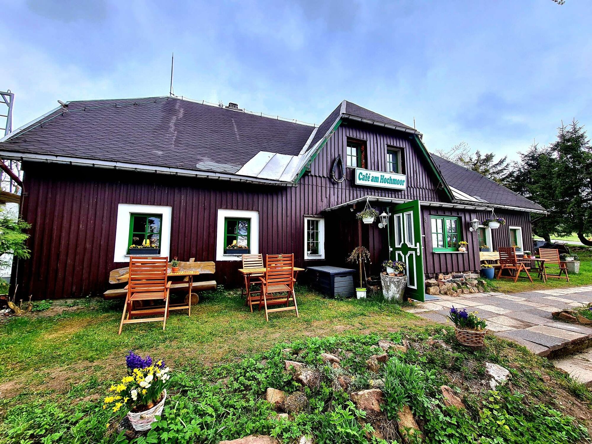
Georgenfelder Hochmoor & Cafe at the Hochmoor
Schellerhau Botanical Garden
Side trip to the pump track in Geising (Generation Park Geising)
Kamery internetowe z trasy
Popularne wycieczki w okolicy
-
Trebnitzgrund to enjoy (Glashütte)
średniWędrówka 14,6 km -
Oberbärenburg- Tellkoppe- Ausichtsturm, Deutschland Altenberg im Erzgebirge, Deutschland
światłoWędrówka 8,08 km -
3,0
Kahleberg-Geisingberg-Scharspitze-Biwakkuppe, Deutschland Altenberg im Erzgebirge, Deutschland
średniWędrówka 14,6 km -
5,0
Circular hike to the Rauschenbach reservoir
Wędrówka 9,52 km -
Day tour Kammweg 02 Around Altenberg 14km
średniWędrówka 14,6 km -
Mückentürmchen route
średniWędrówka 19,6 km -
3,0
Wanderung mit Hund und Familie
średniWędrówka 6,86 km -
Day tour Kammweg 04 Around Frauenstein 35km 2-day hike
ciężkiWędrówka 36,1 km -
Rechenberg beer tour
średniWędrówka 6,09 km -
5,0
Auf den Spuren Max Nackes
średniWędrówka 5,64 km
Wędrówki i tropienie


Nie przegap ofert i inspiracji na następne wakacje
Twój adres e-mail została dodana do listy mailingowej.