







Three peaks tour
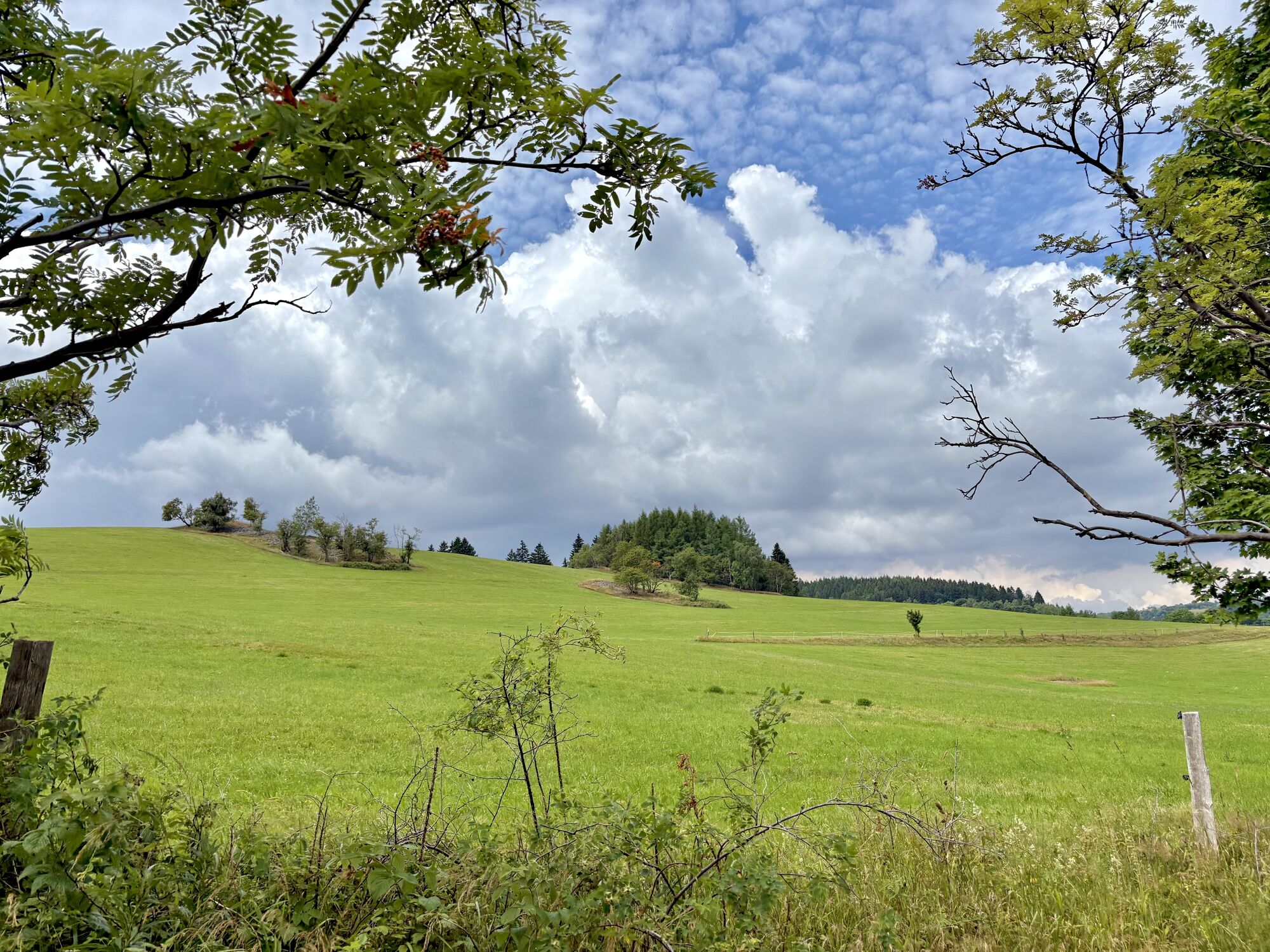
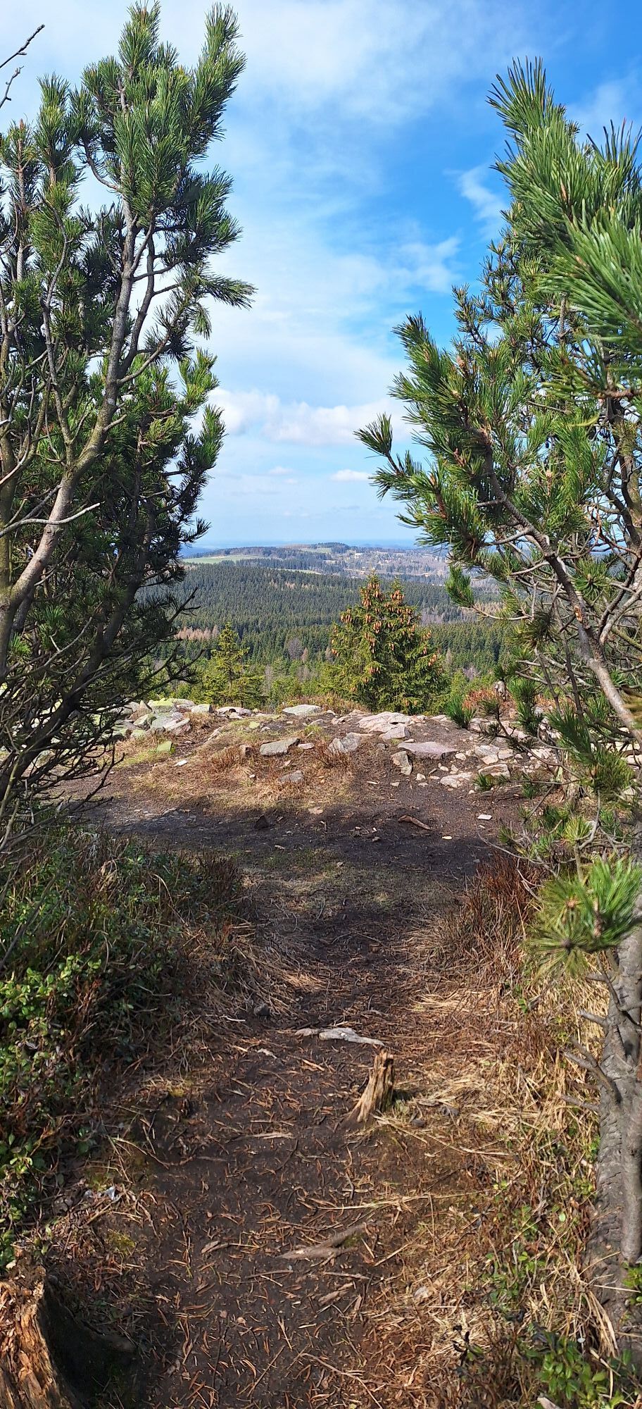
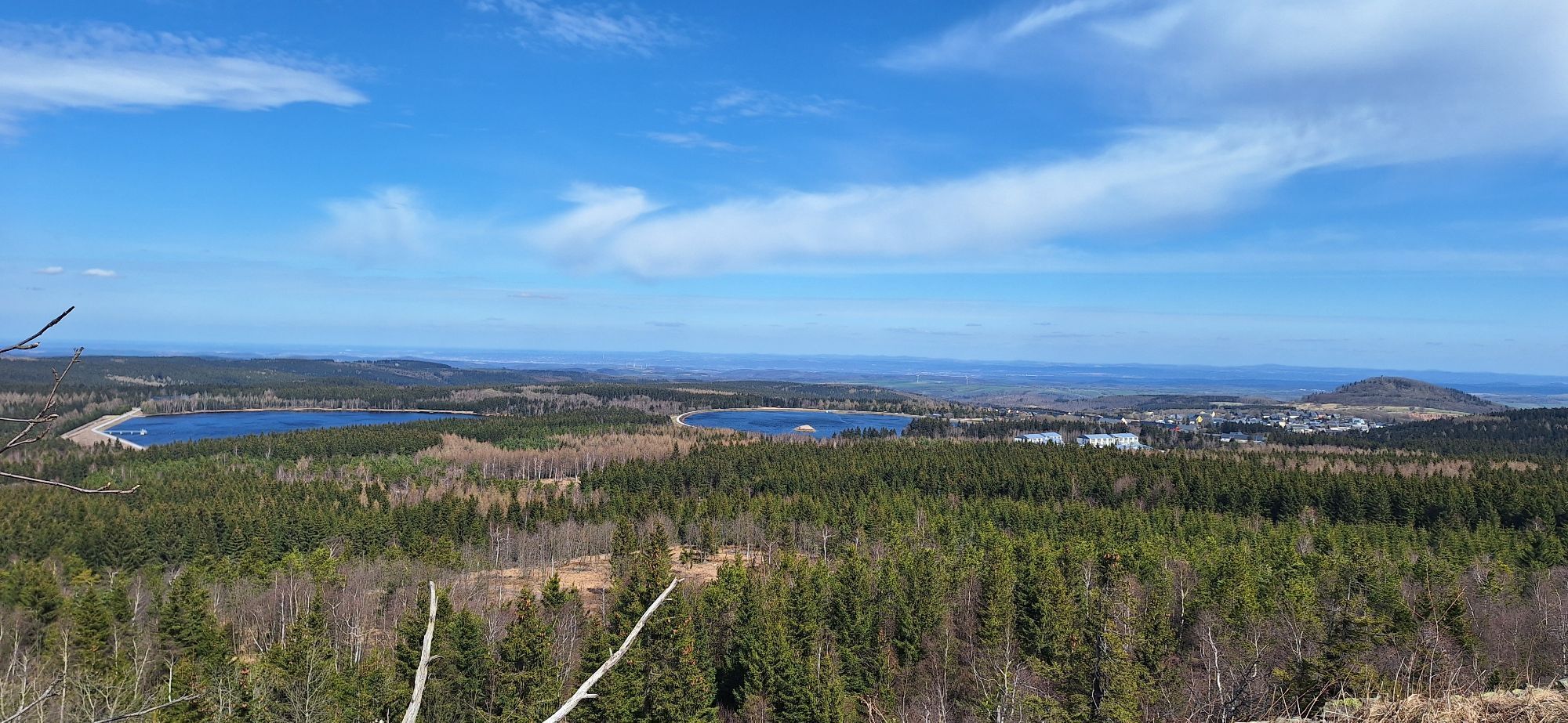
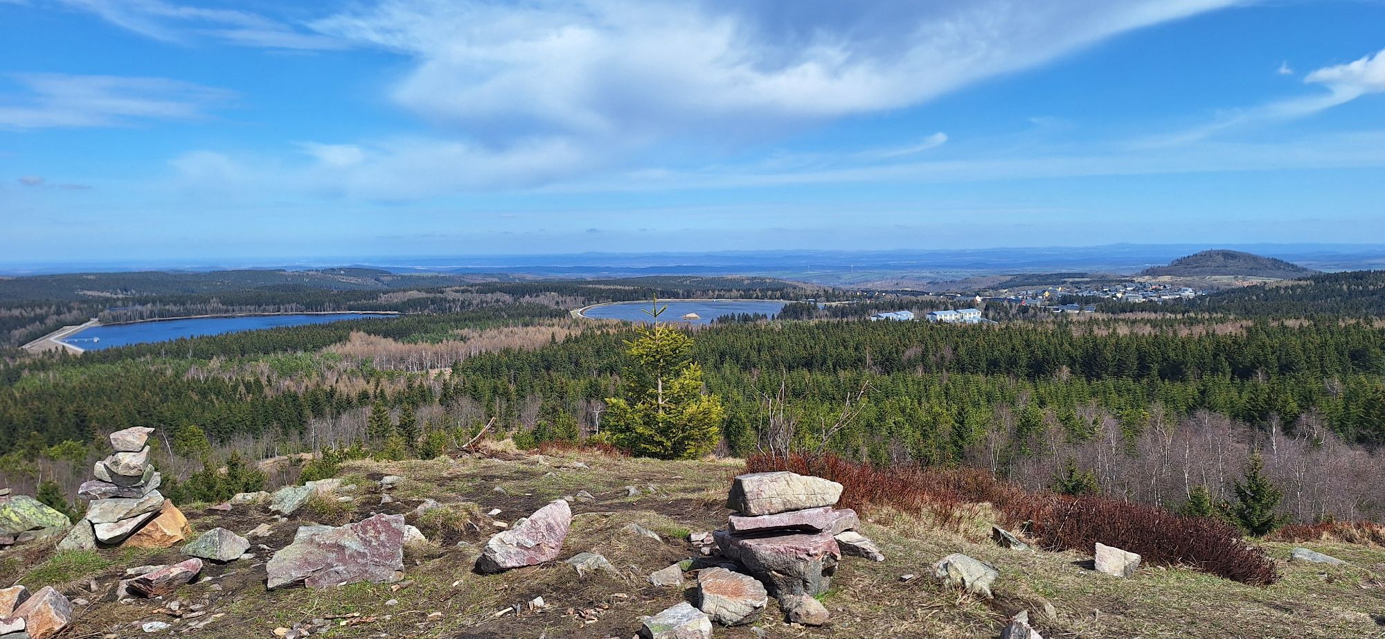
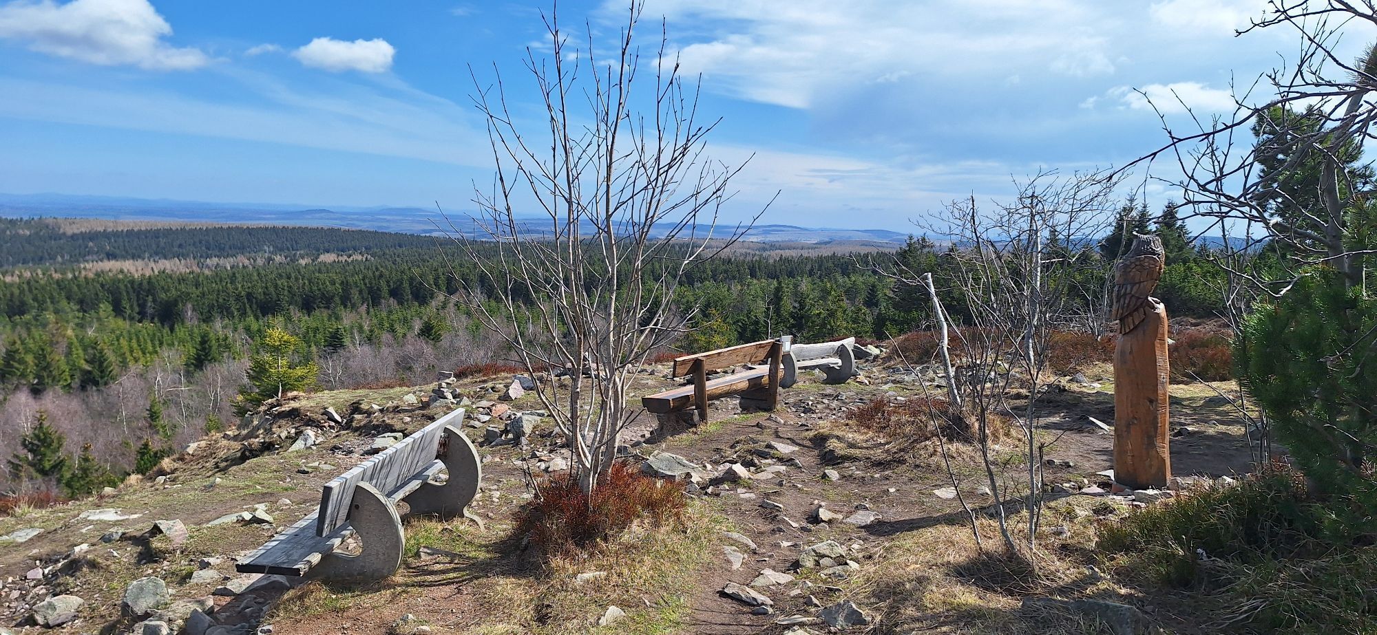
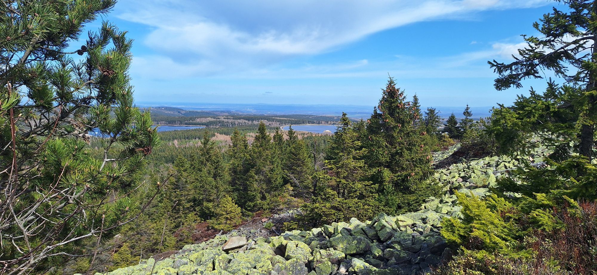
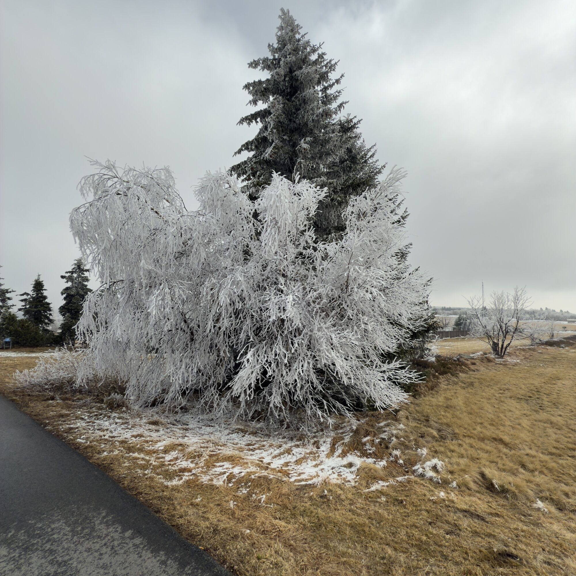
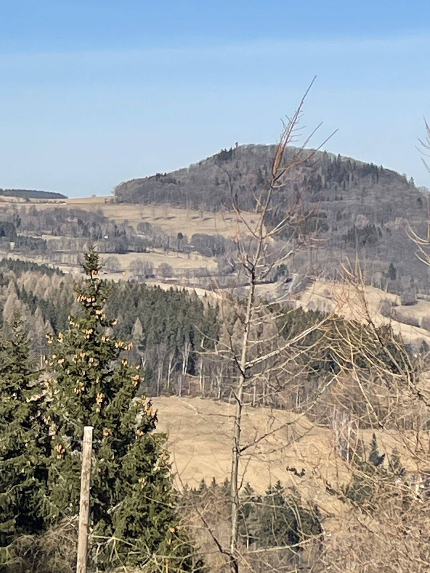
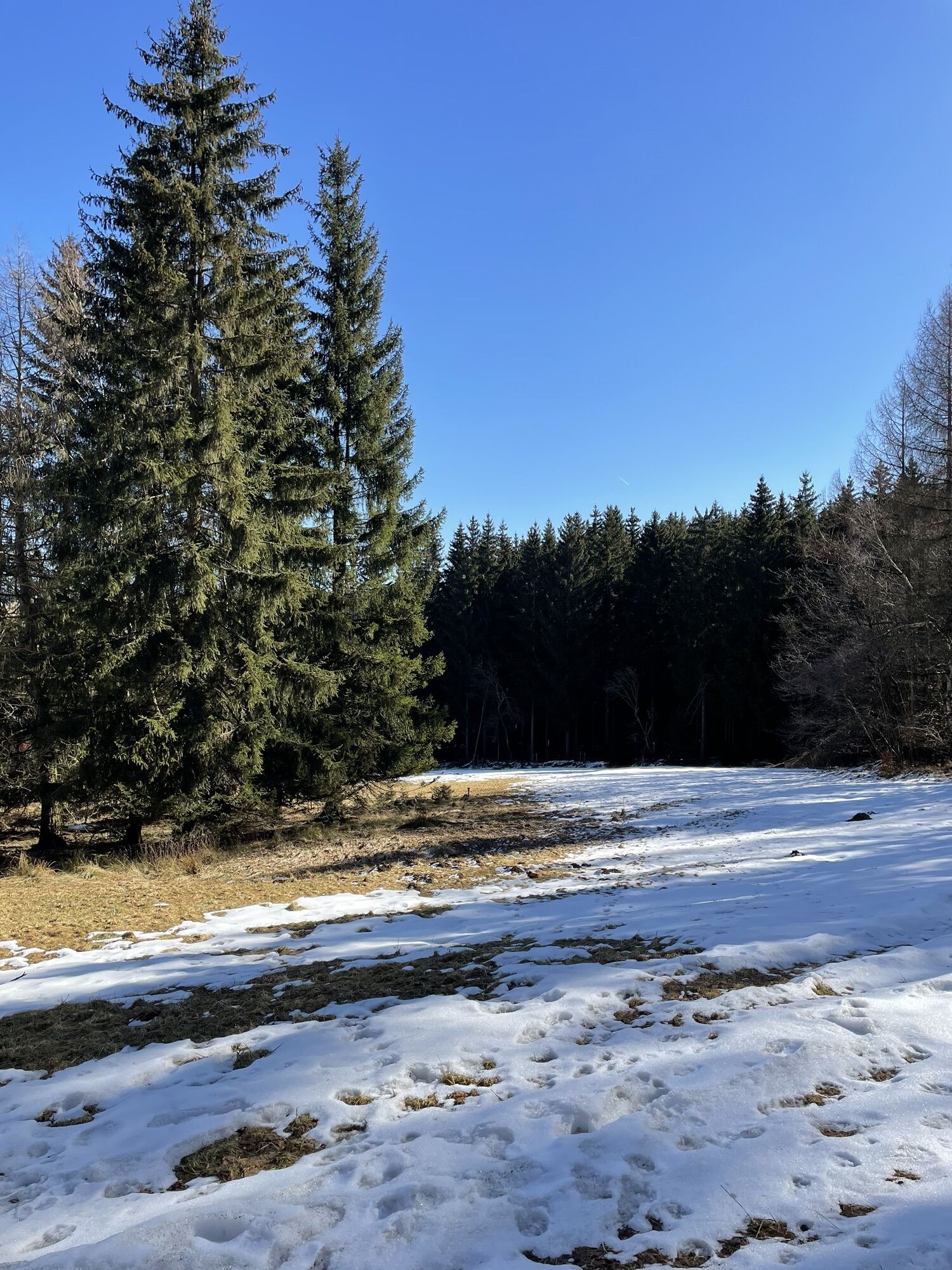
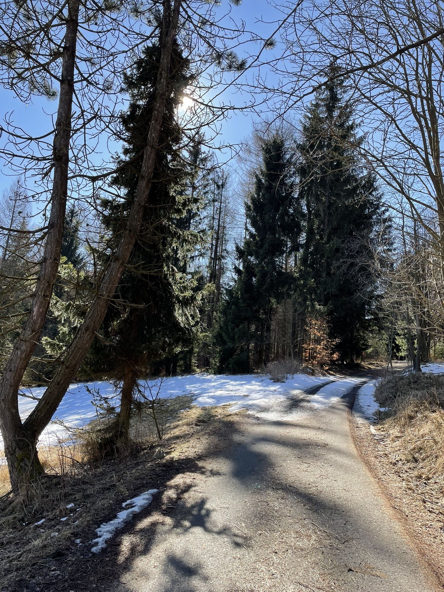
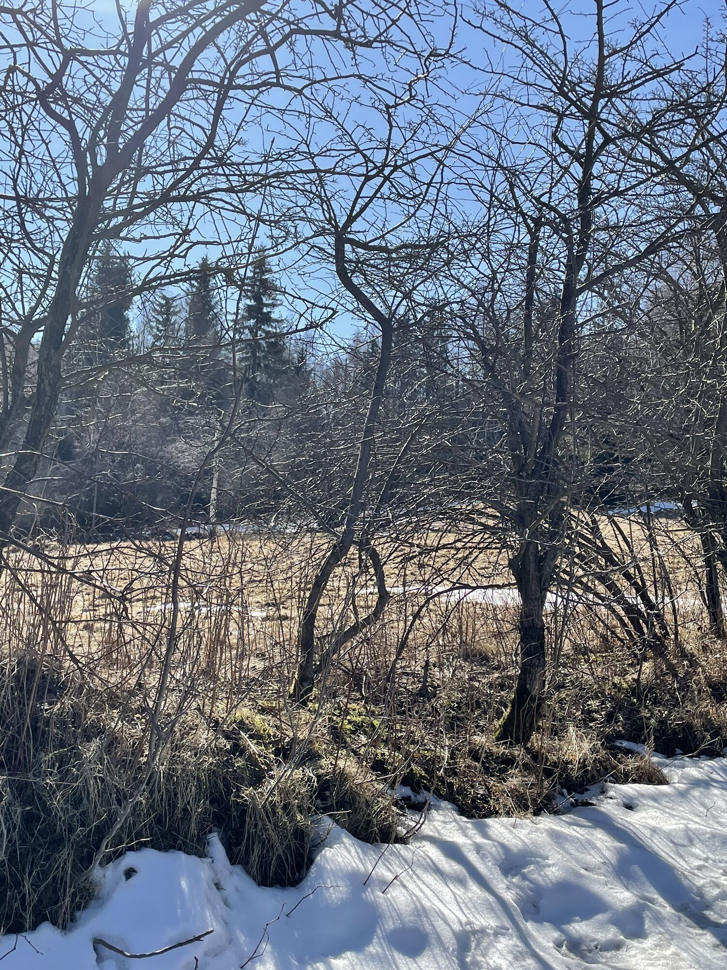
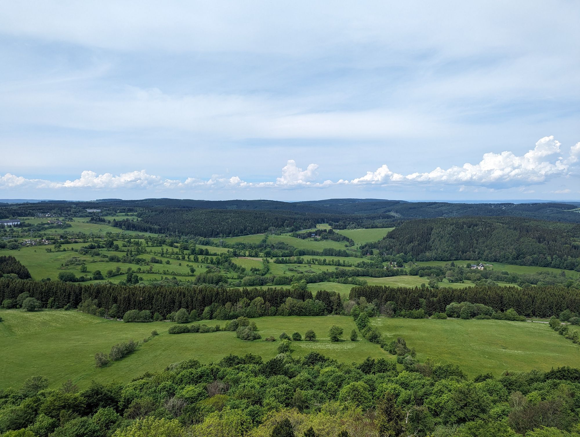
The tour starts from Altenberg from the train station. You take the Dippoldiswaldertraße and Neustadtstraße towards Geisingberg. You will walk past the Altenberg Pinge, through meadows where orchids bloom...
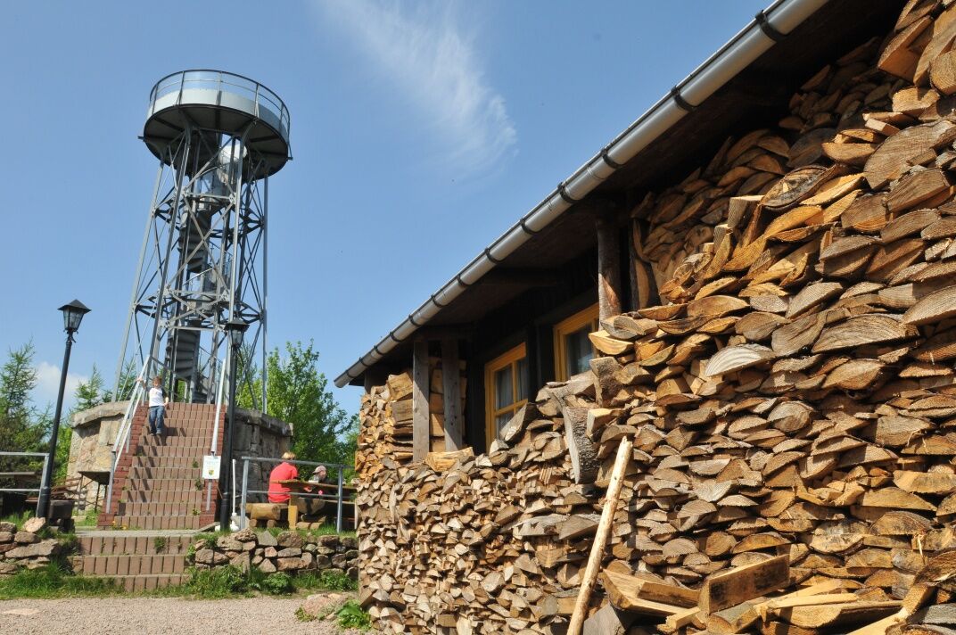
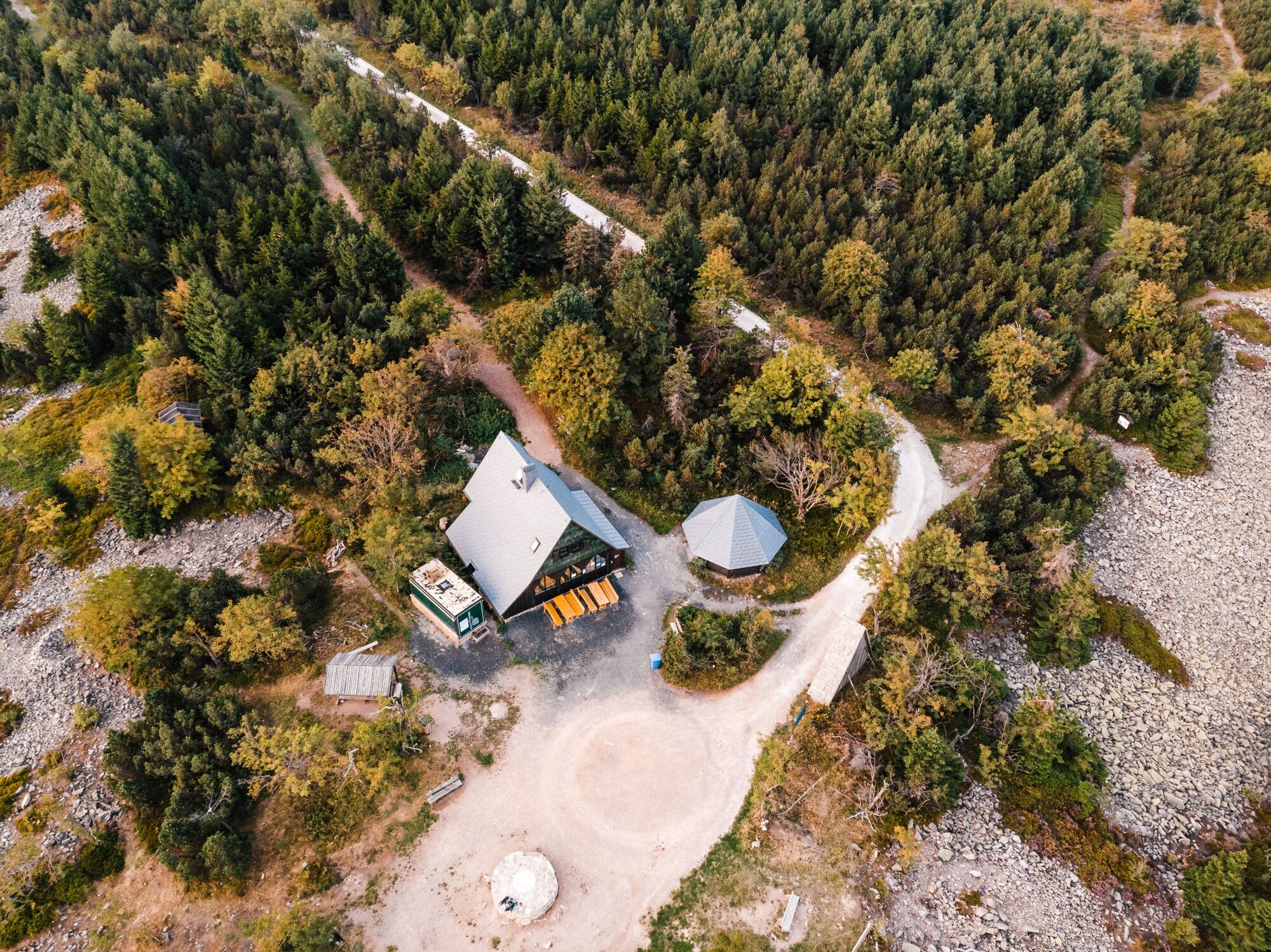
The tour starts from Altenberg from the train station. You take the Dippoldiswaldertraße and Neustadtstraße towards Geisingberg. You will walk past the Altenberg Pinge, through meadows where orchids bloom in spring, to reach the 824 m high Geisingberg. In addition to the mountain hut, you will also find the Louisenturm lookout tower at the top, which offers a panoramic view of the entire recreational area. Afterwards, you head sharply downhill in the direction of Geising. You will pass through the historic centre of Geising, then pass the natural swimming pool Hüttenteich and then climb to the Kohlhaukuppe ( 786 m above sea level ) . At the top there is a mountain hut famous for its garlic specialties and a lookout tower. You will then continue along the German-Czech border towards Zinnwald, which you will cross and head towards the Lugsteins - red-coloured rocks with a short detour leading to them. You then continue along the "Schneise 30" path and reach the famous peak with a beautiful view, the Kahleberg ( 905 m above sea level ). The route then continues along the path called "I-Flügel" and "Alten Zaunhäuser Weg" to Altenberg, where this beautiful hike ends.
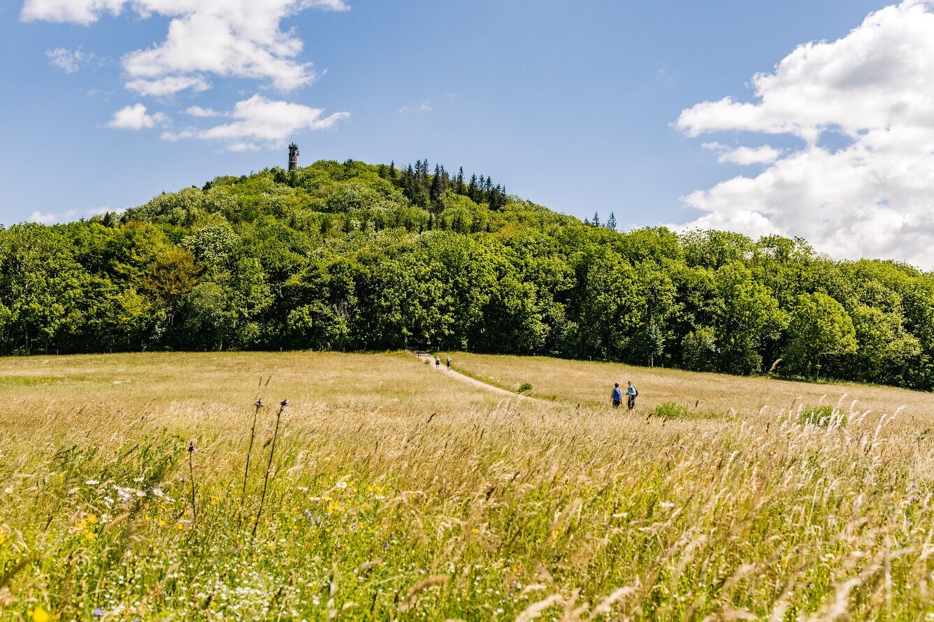
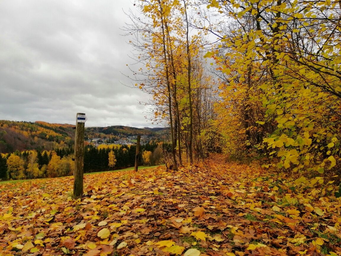

Altenberg - Dippoldiswalder Straße - Neustadtstraße - Geisingberg - KAMMweg Erzgebirge-Vogtland - Geising - Hüttenteich - Kohlhaukuppe - Sommerweg - Zinnwald-Georgenfeld - Lugsteine - Schneise 30 - Kahleberg - I Flügel - Alter Zaunhäuser Weg - Altenberg
Available at the Tourist Information in Altenberg and at the Information Office at the train station / community centre in Kipsdorf.
Solid walking shoes, rain equipment, first aid kit, food and drink, binoculars if needed.
Enjoy the natureAllow the inhabitants of the forest to sleep peacefullyProtect plants and animalsKeep escape routes accessibleUse the parking lotsDon't leave trash behindBe respectful towards other peoplePrevent forest firesPay attention to the forestry worksBe aware of and accept closuresBe careful and cautious
B170 - Dresden - Dippoldiswalde - Altenberg / Teplice - Dubi - Zinnwald-Georgenfeld – Altenberg
Bus: Line 360 from Dresden Hbf, Line 398 from Teplice
You can park your car in the car park behind the train station.
All three peaks give you the opportunity to stop for refreshments. You can also enjoy a remote view of the Ore Mountains, the Bohemian Plateau and even the Dresden Valley.
Kamery internetowe z trasy
Uzyskaj wgląd
Zawsze na żywo z ponad 9 500 kamer internetowych. bergfex Jako użytkownik Pro, możesz teraz zobaczyć odpowiednie kamery internetowe dla wielu wycieczek w aplikacji wycieczki od. Pozwala to na bezpośredni podgląd aktualnych warunków.
Popularne wycieczki w okolicy
-
Trebnitzgrund to enjoy (Glashütte)
średniWędrówka 14,6 km -
Oberbärenburg- Tellkoppe- Ausichtsturm, Deutschland Altenberg im Erzgebirge, Deutschland
światłoWędrówka 8,08 km -
3,0
Kahleberg-Geisingberg-Scharspitze-Biwakkuppe, Deutschland Altenberg im Erzgebirge, Deutschland
średniWędrówka 14,6 km -
Day tour Kammweg 02 Around Altenberg 14km
średniWędrówka 14,6 km -
5,0
On the apple avenue to Schlottwitz and on to the fairytale meadow
średniWędrówka 11,4 km -
Mückentürmchen route
średniWędrówka 19,6 km -
3,0
Wanderung mit Hund und Familie
średniWędrówka 6,86 km -
Day tour Kammweg 04 Around Frauenstein 35km 2-day hike
ciężkiWędrówka 36,1 km -
Blockline Loop 1: Holzhau " Altenberg " Hermsdorf " Holzhau
ciężkiMountainbike 55,0 km -
Rechenberg beer tour
średniWędrówka 6,09 km
Wędrówki i tropienie


Nie przegap ofert i inspiracji na następne wakacje
Twój adres e-mail została dodana do listy mailingowej.





