







Moselsteig (entire route). Your way to experience more.

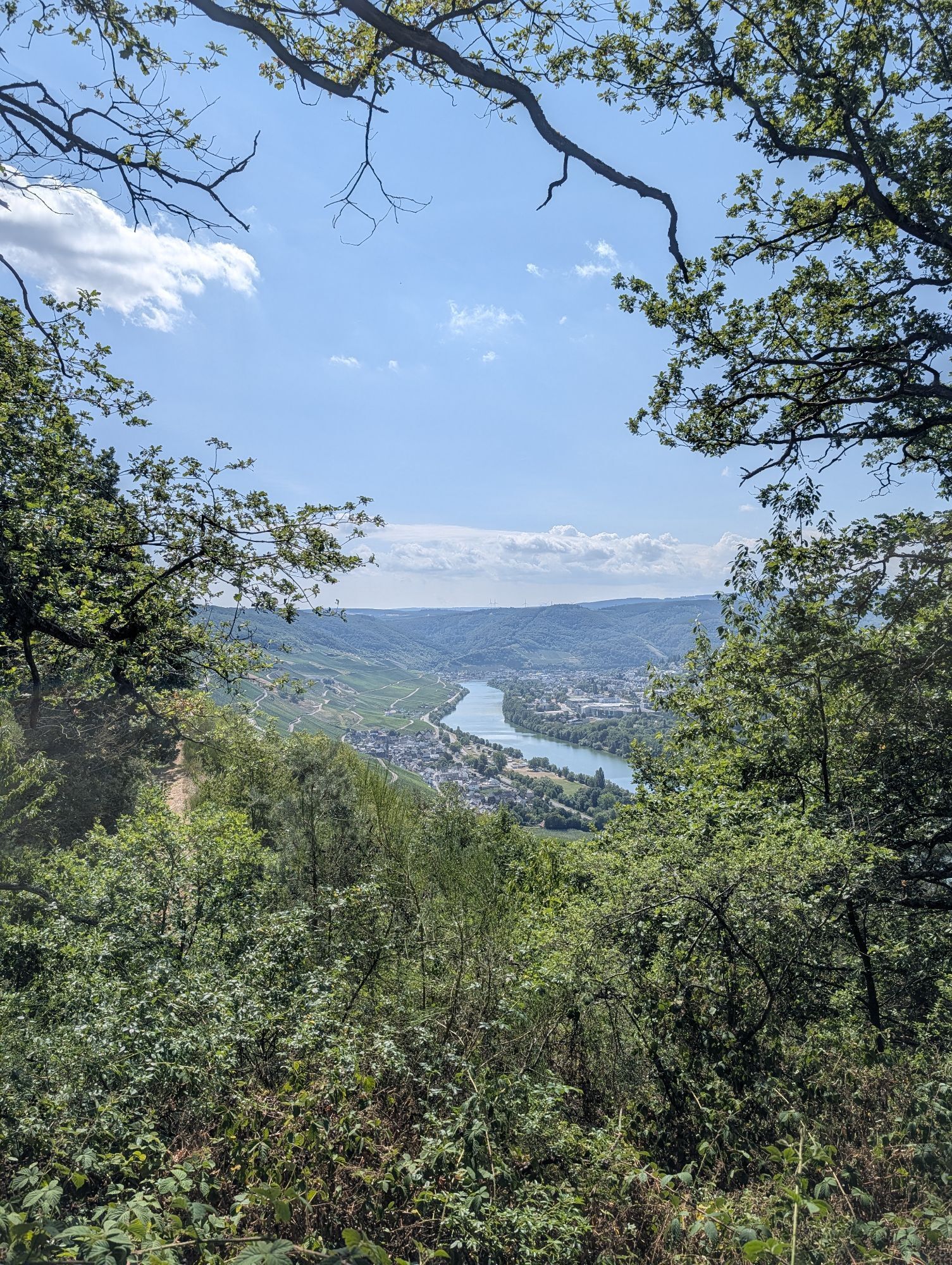
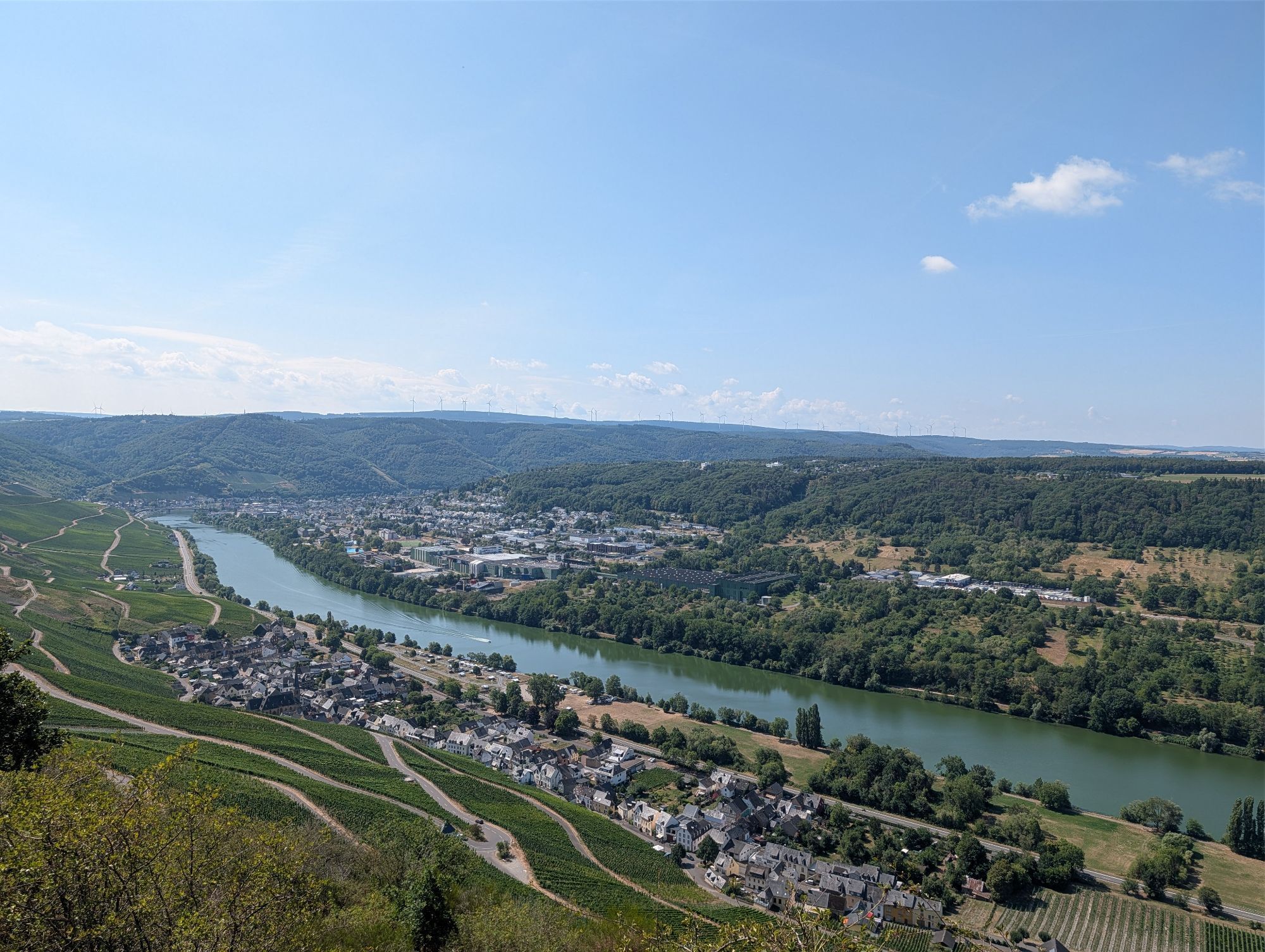
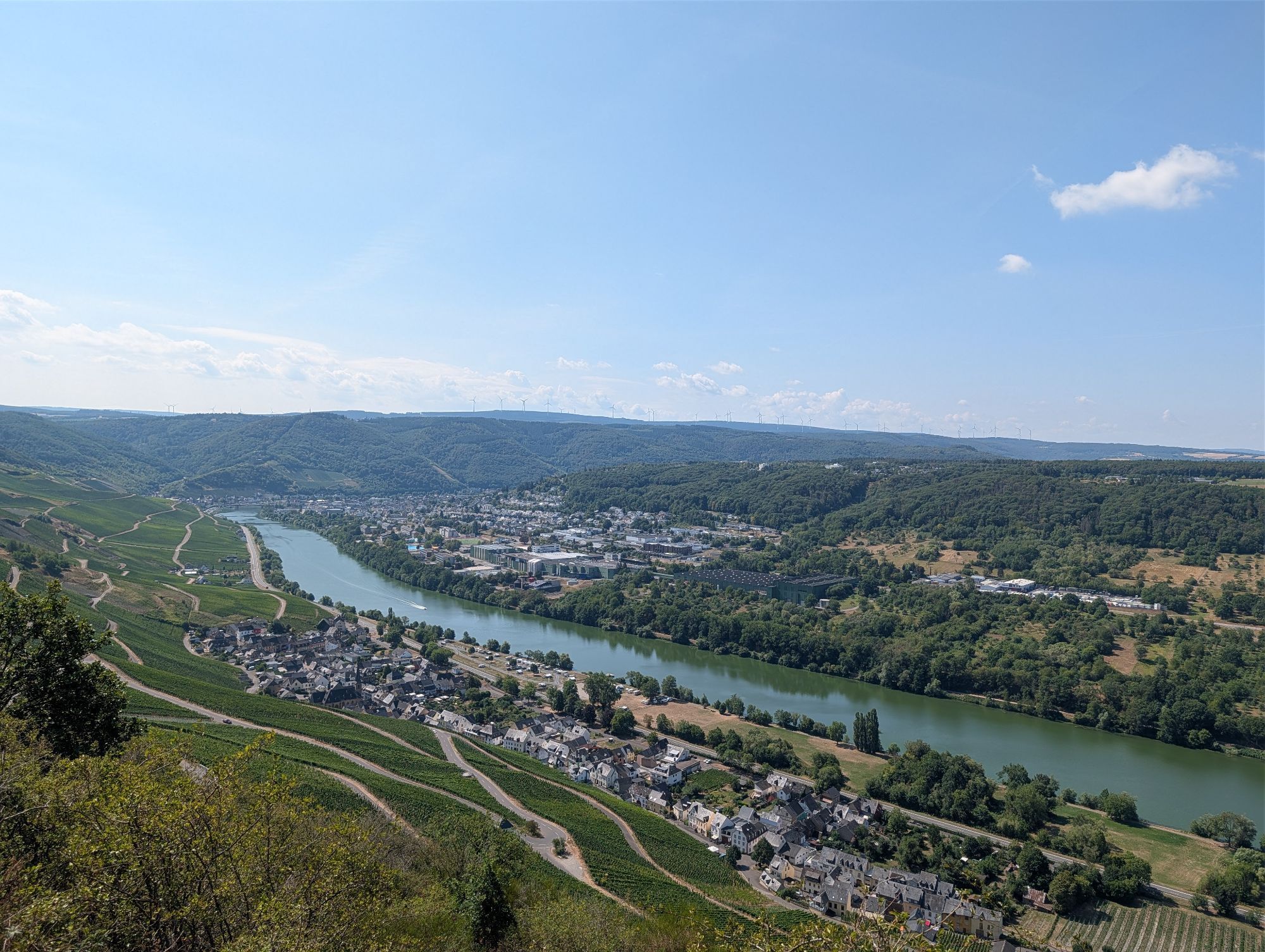
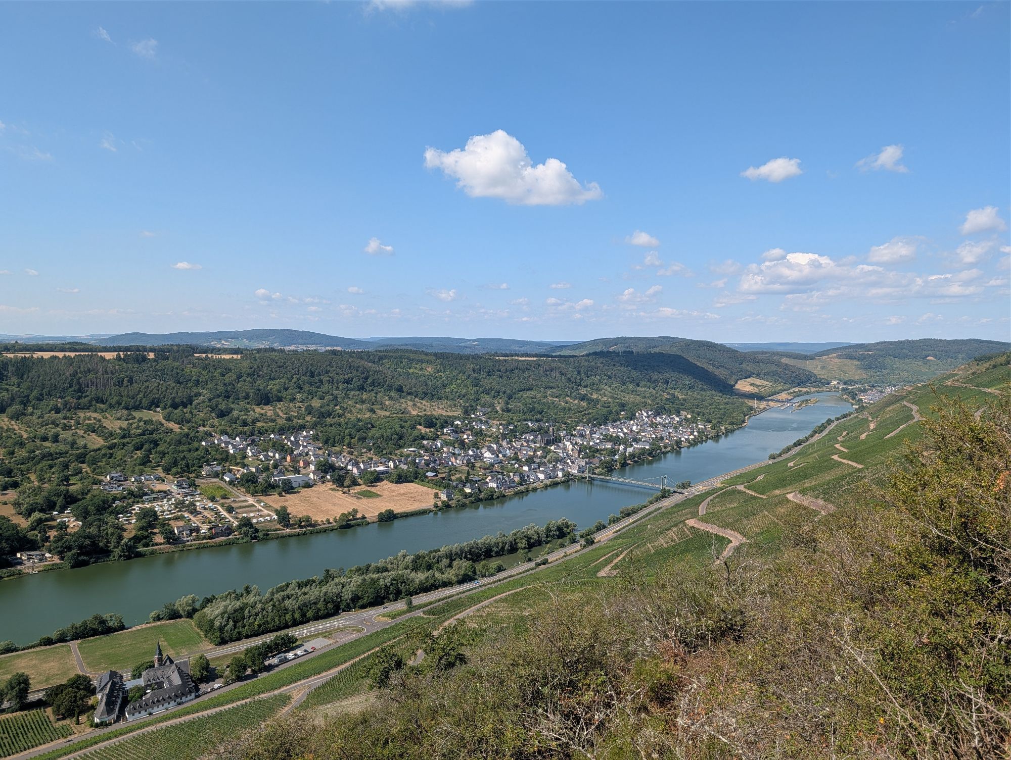
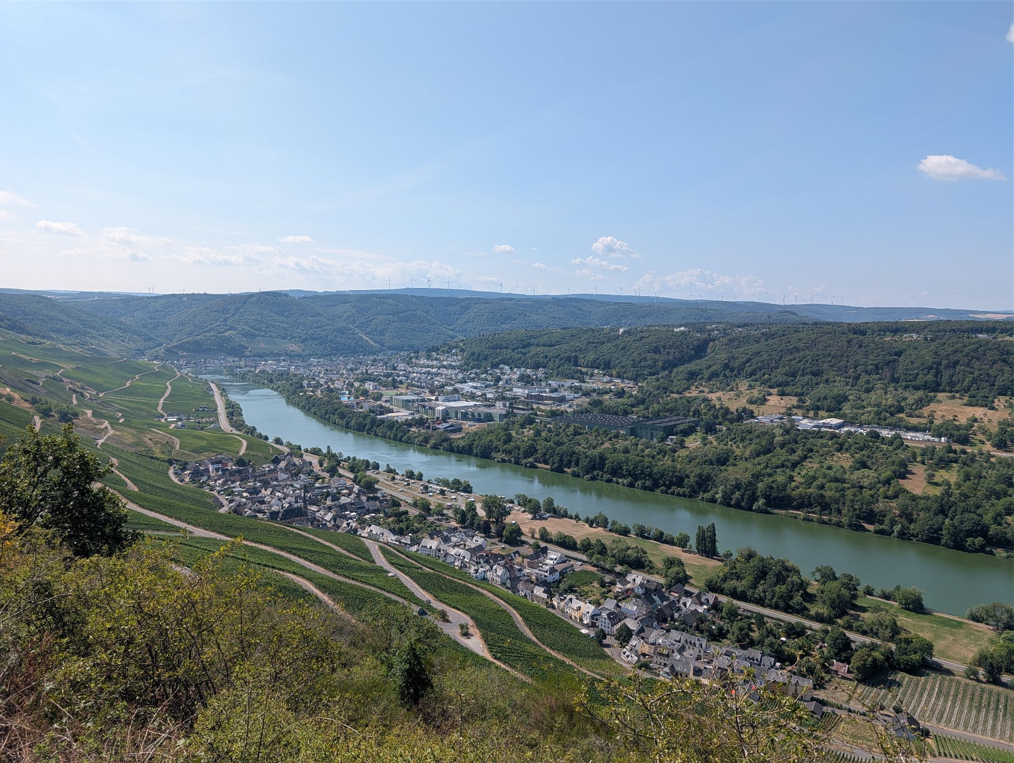
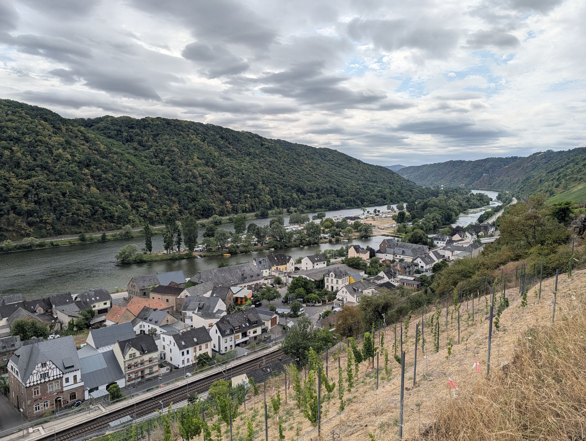
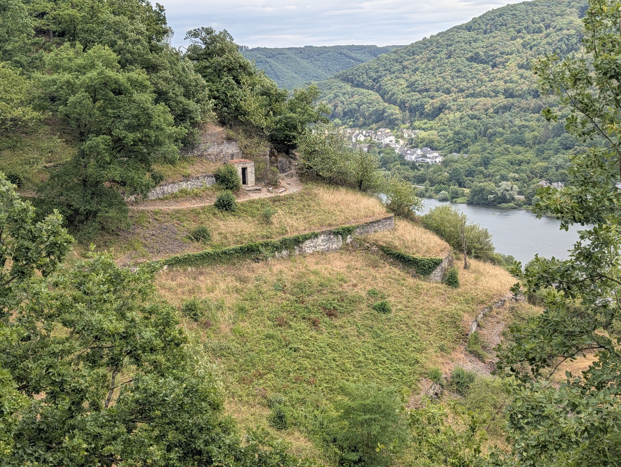
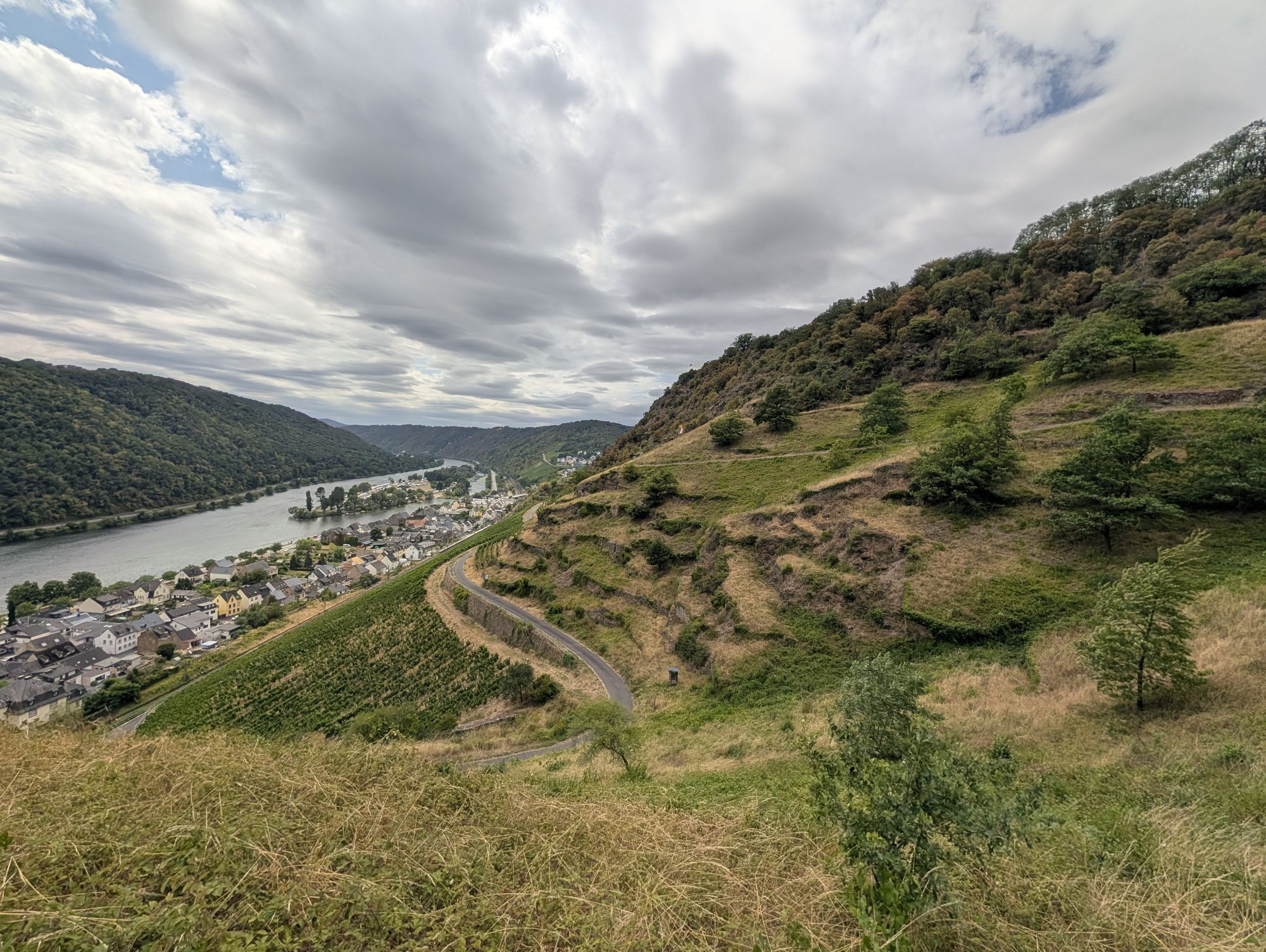
The Moselsteig. Surprising. Challenging. Enthralling.
With its total length of 365 kilometers, the Moselsteig is not only one of the longest but also one of the most varied quality long-distance hiking...
The Moselsteig. Surprising. Challenging. Enthralling.
With its total length of 365 kilometers, the Moselsteig is not only one of the longest but also one of the most varied quality long-distance hiking trails in Germany: surprising in its diversity, challenging in its length, and enthralling in its character.
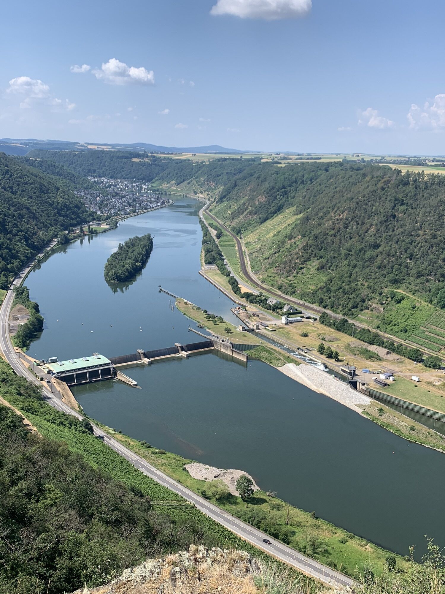
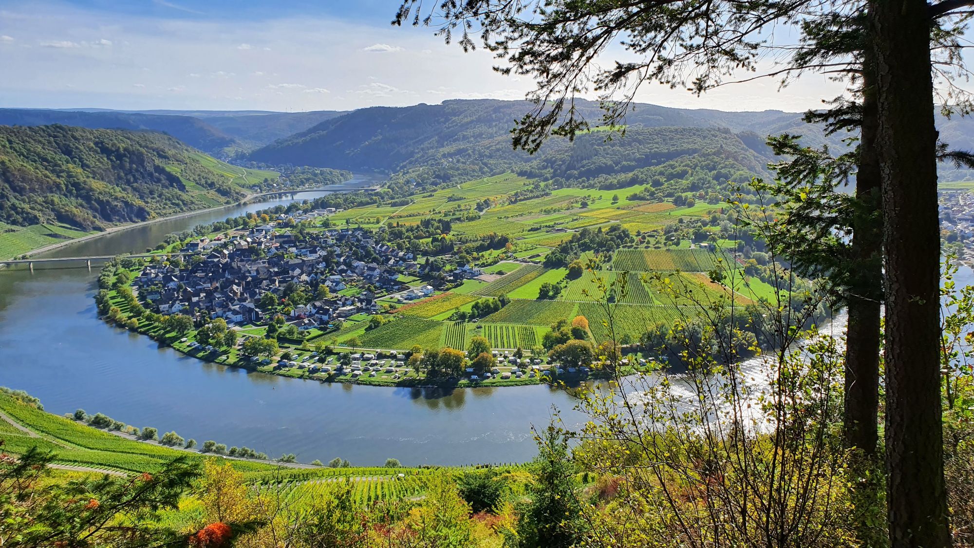
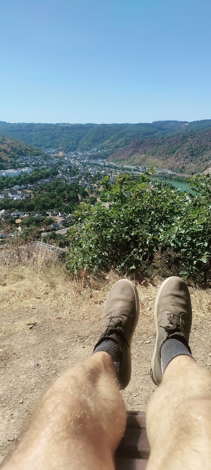
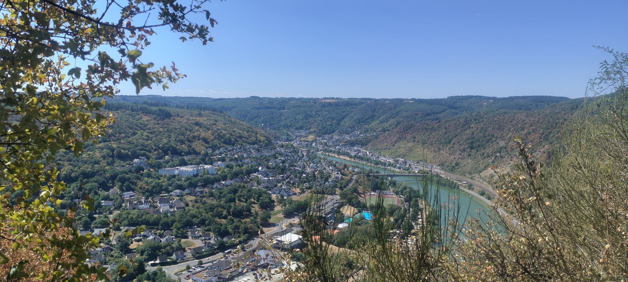
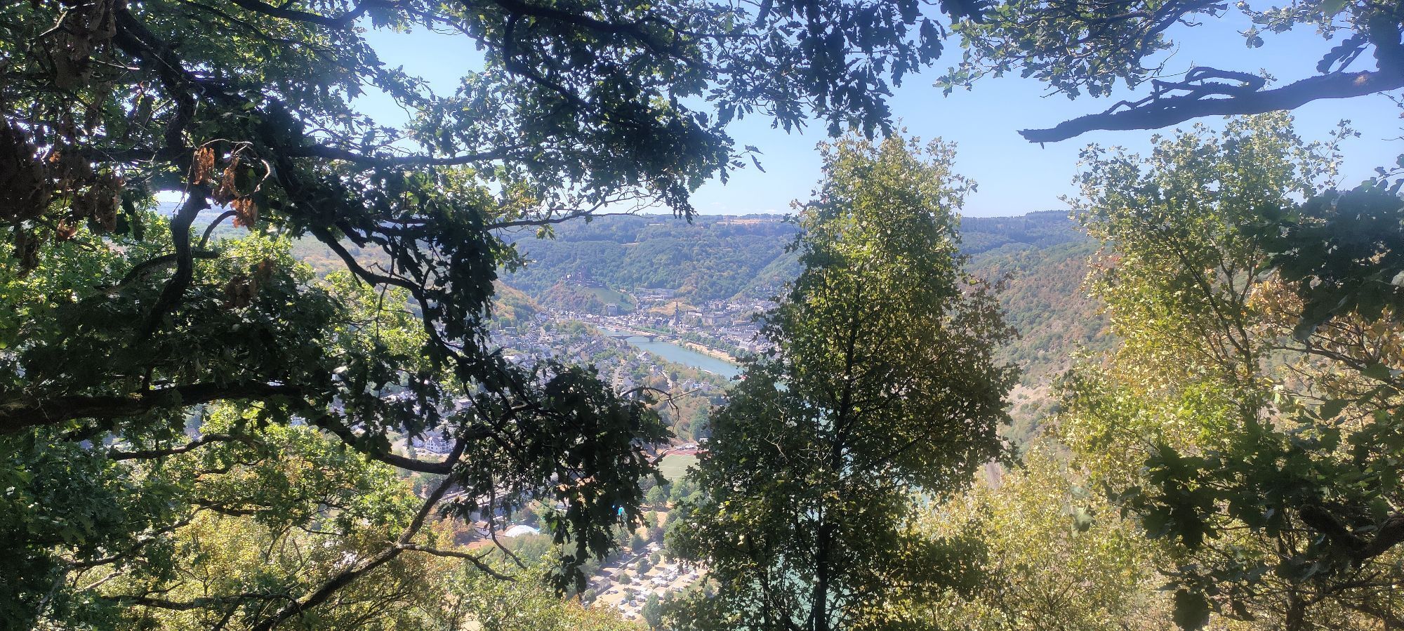
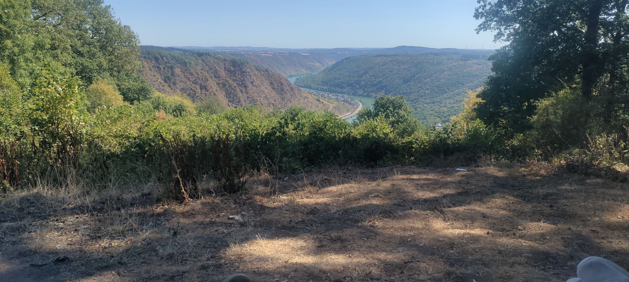
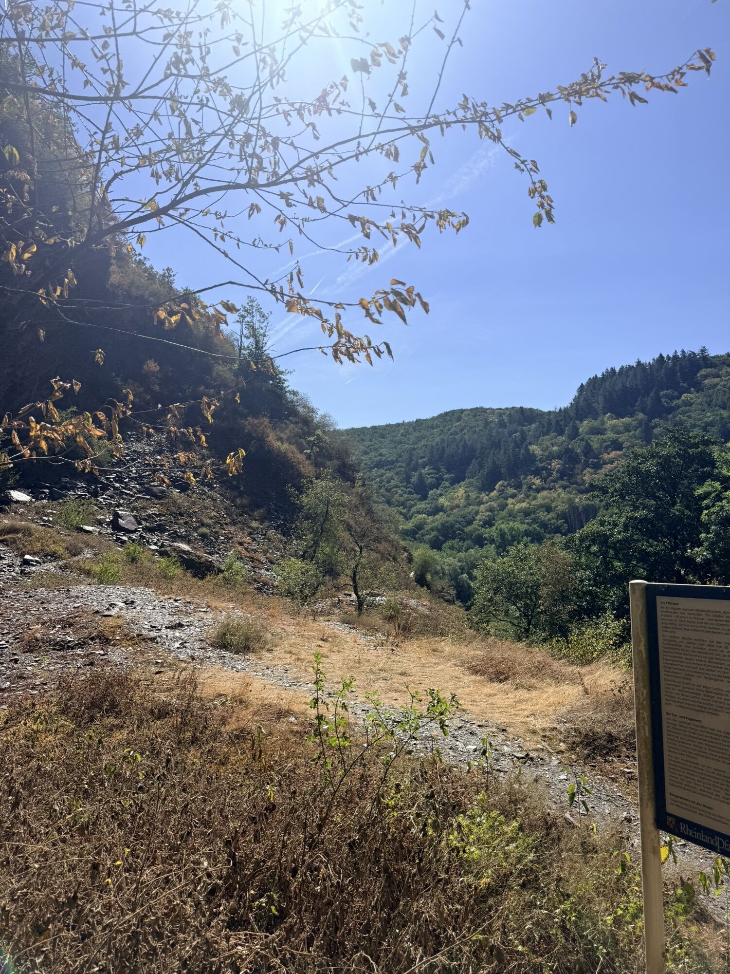
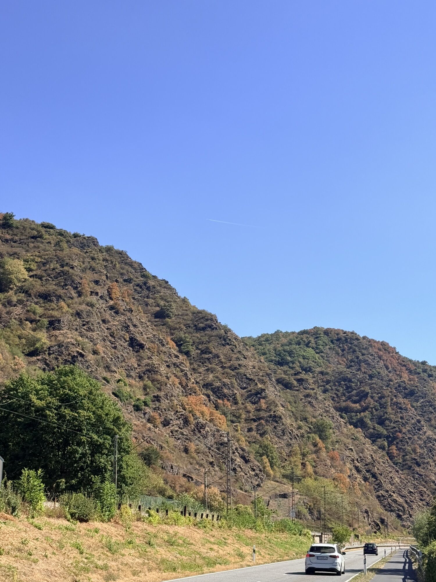
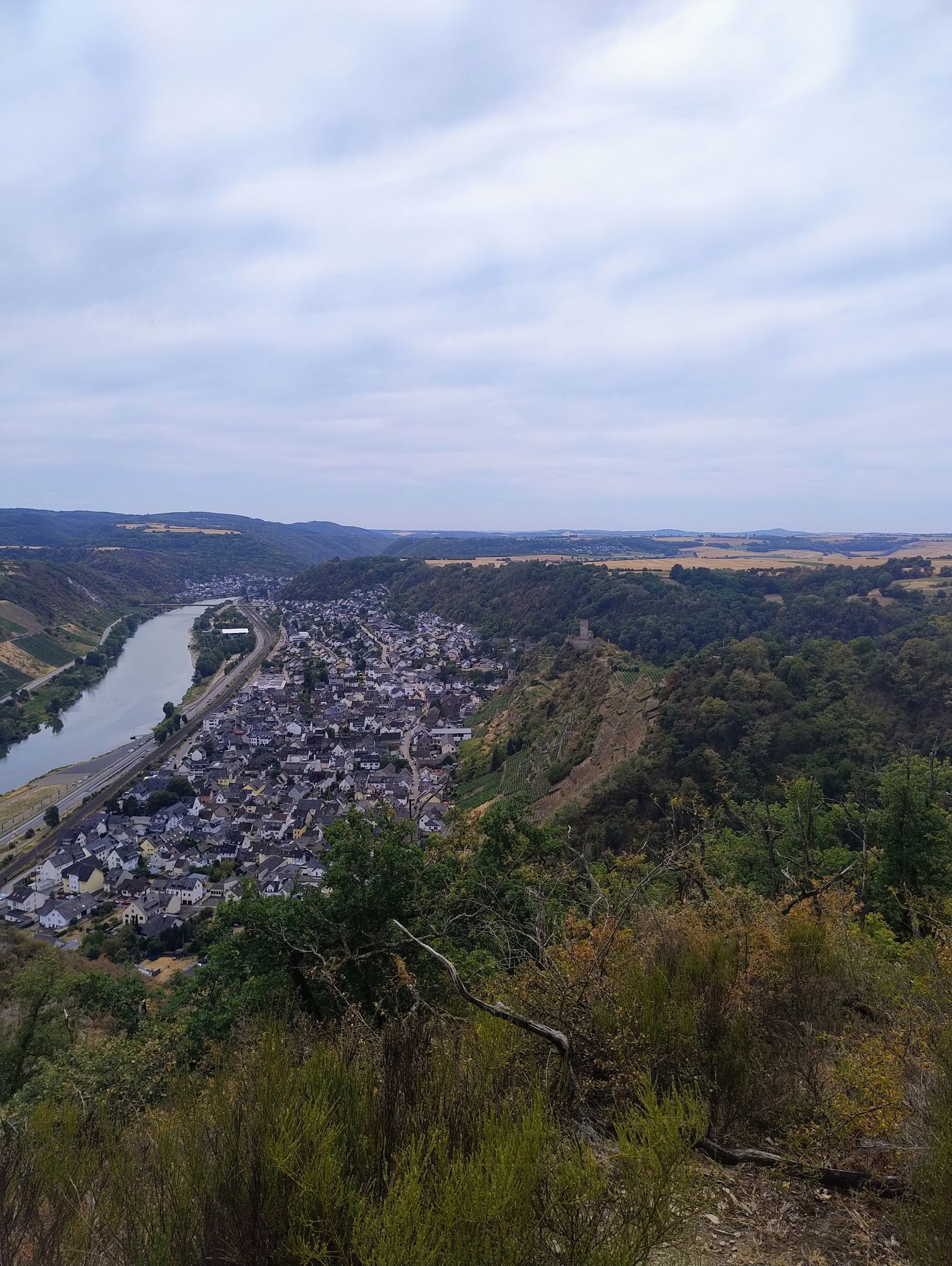
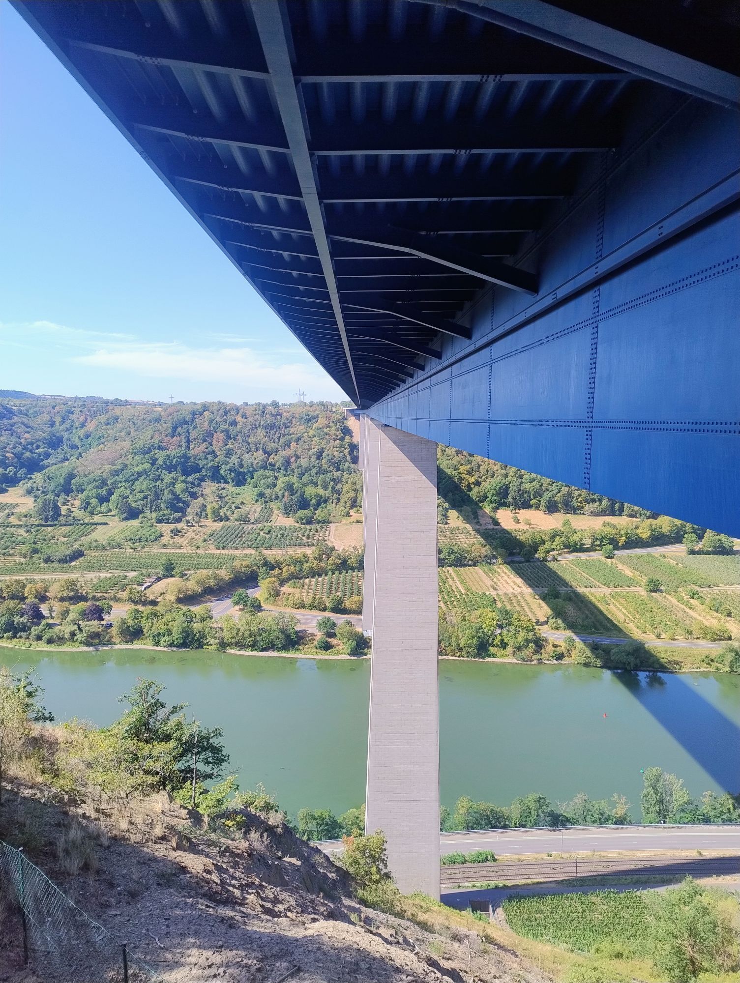
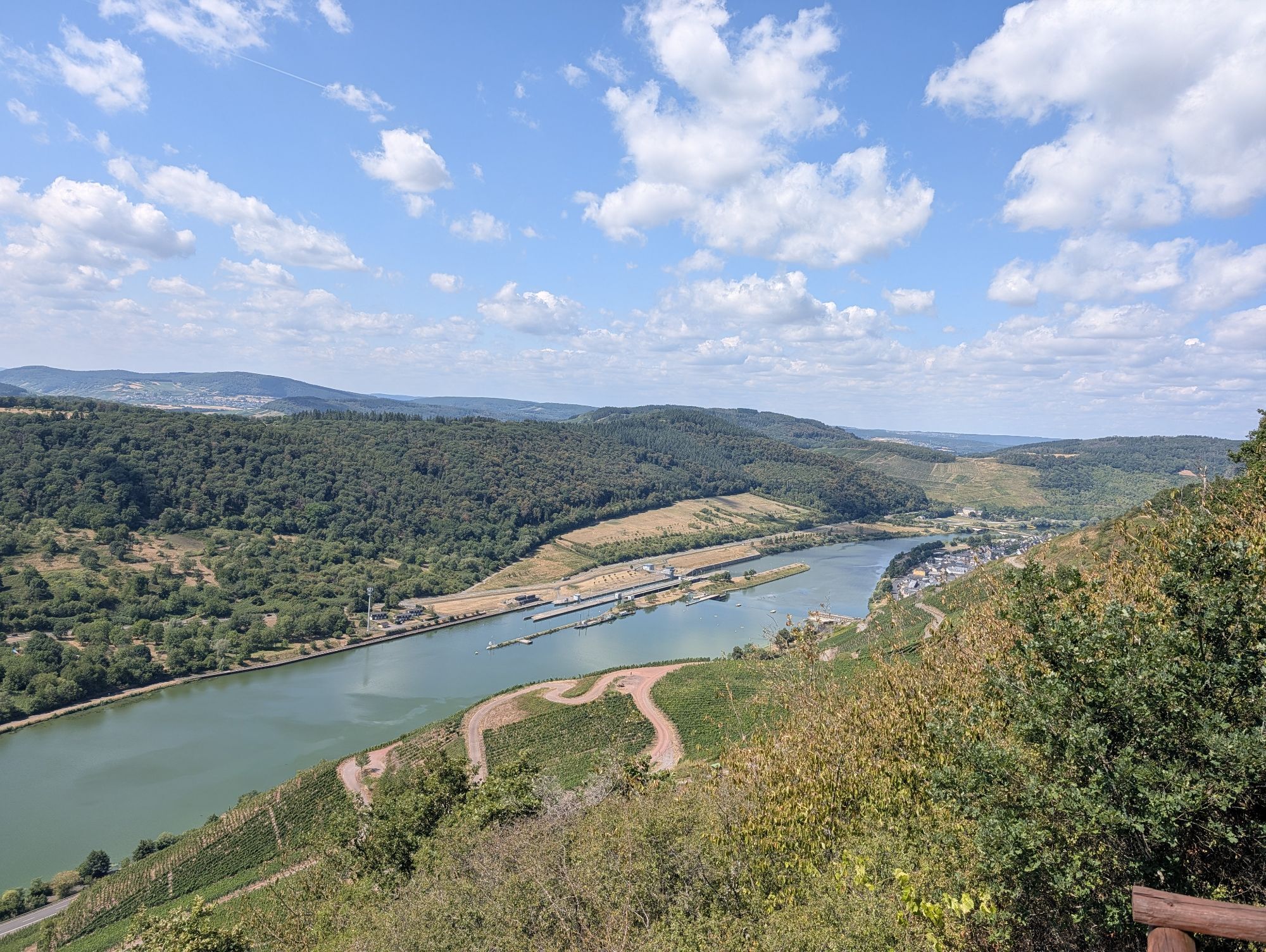
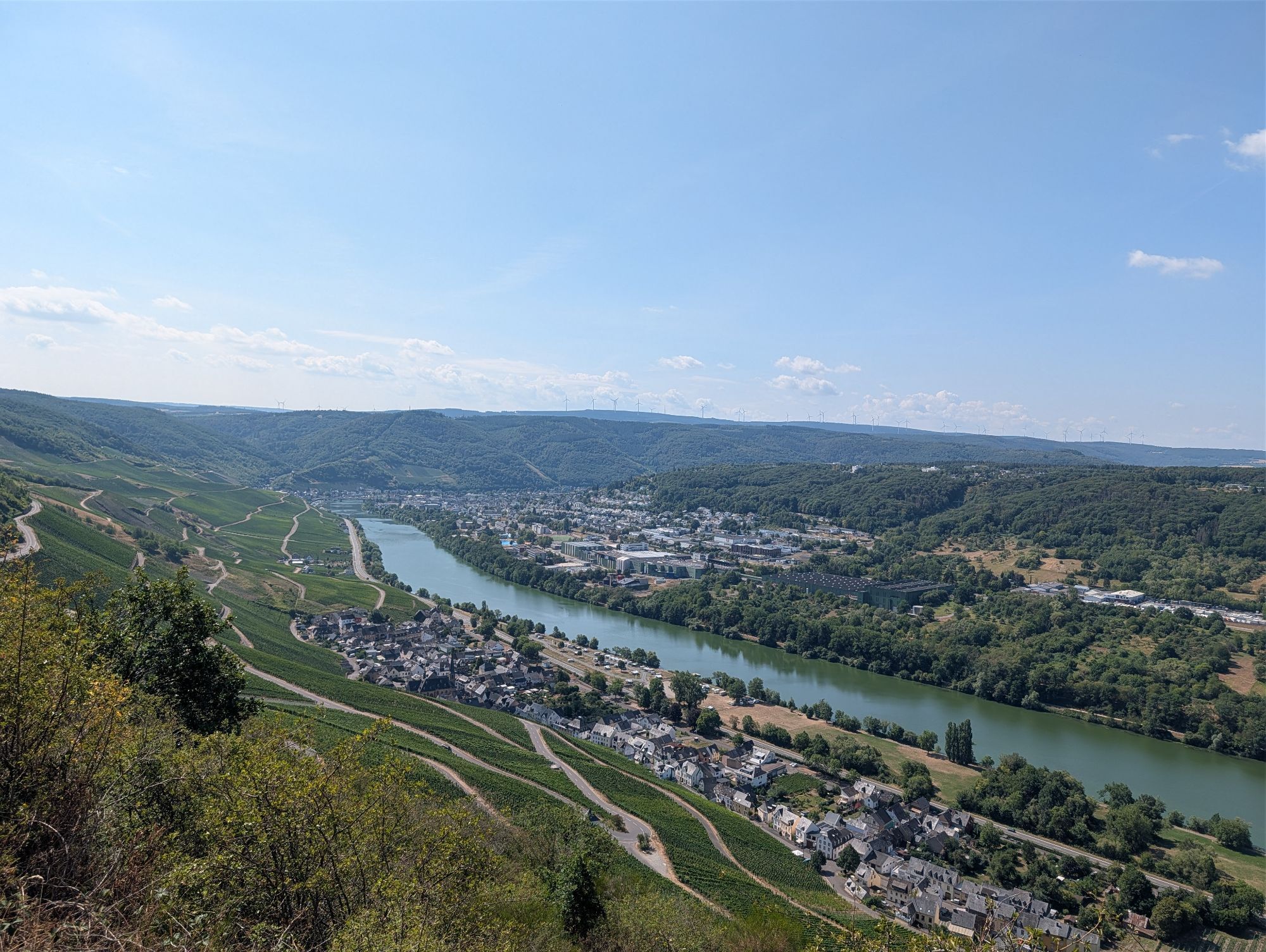
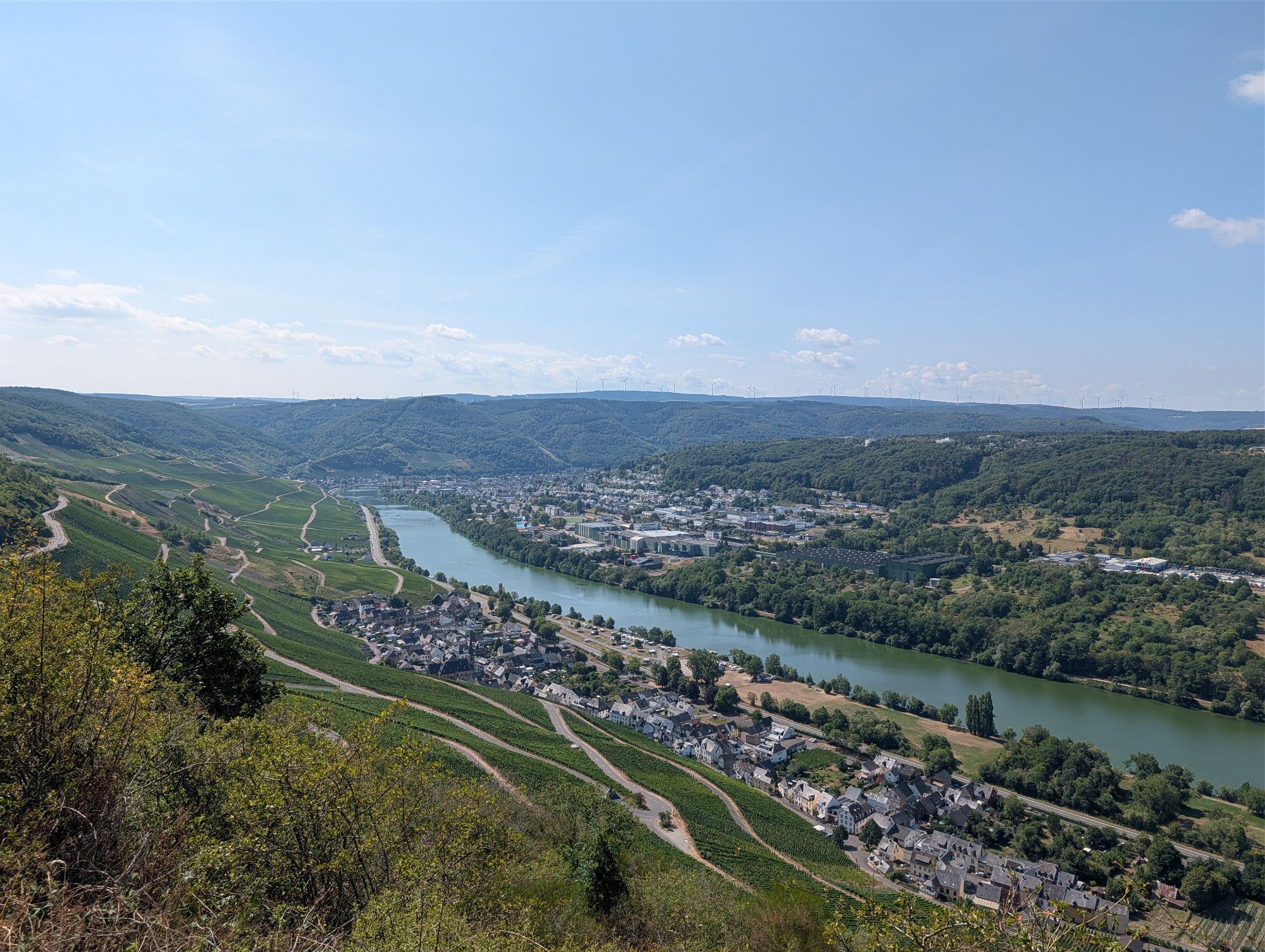
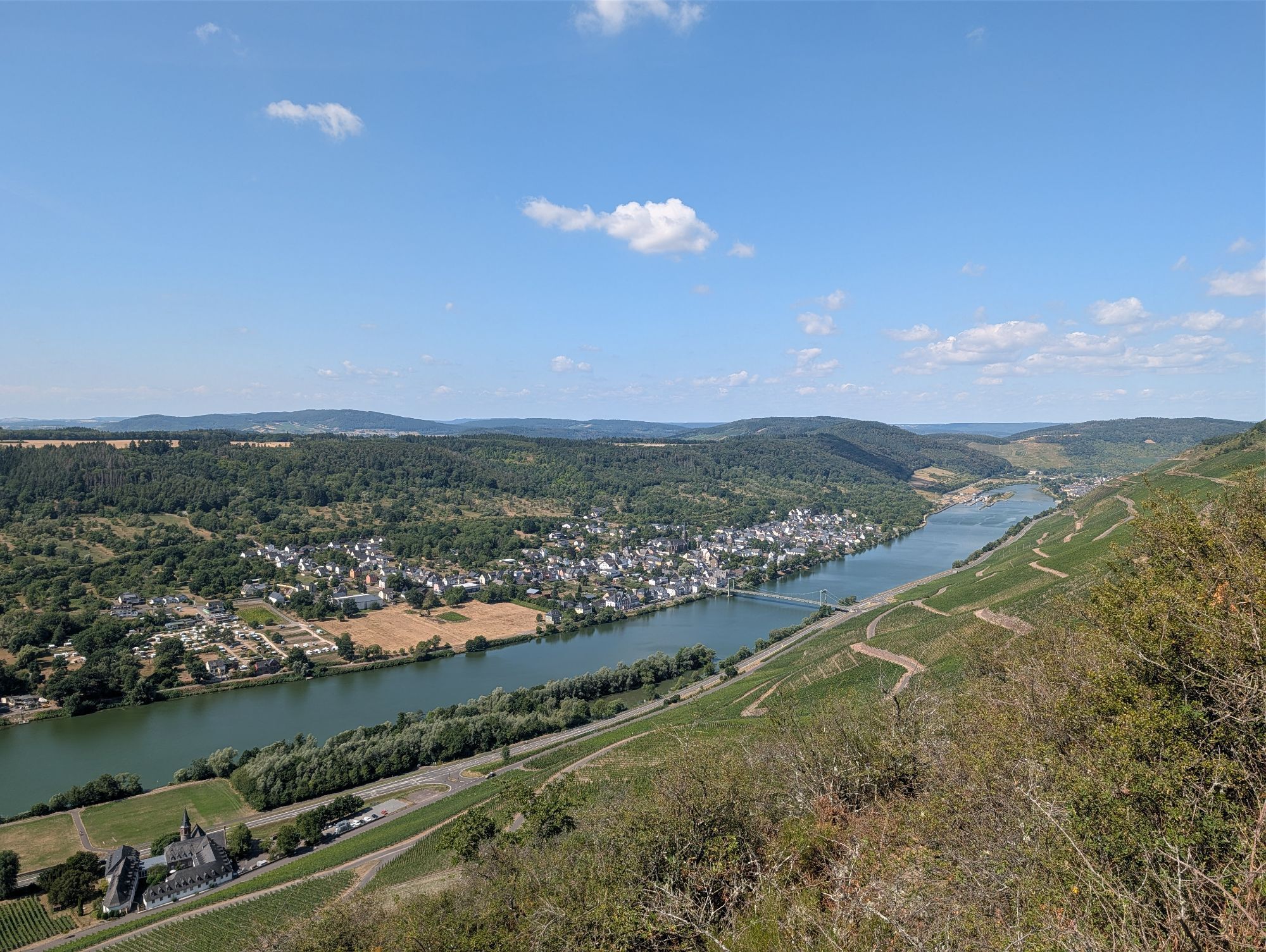
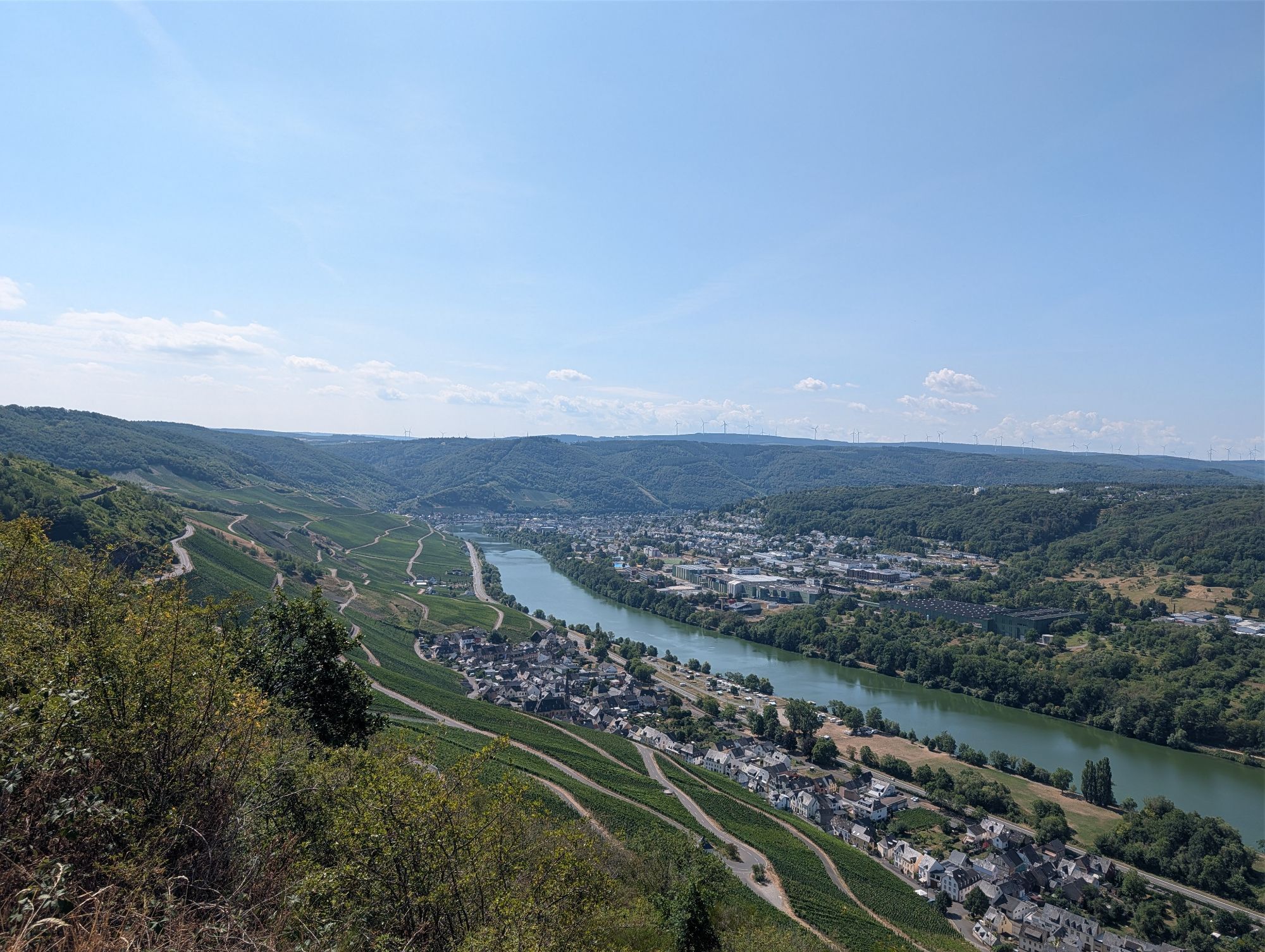
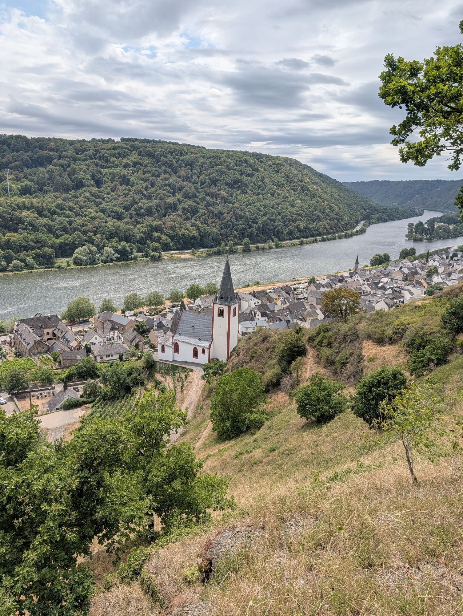
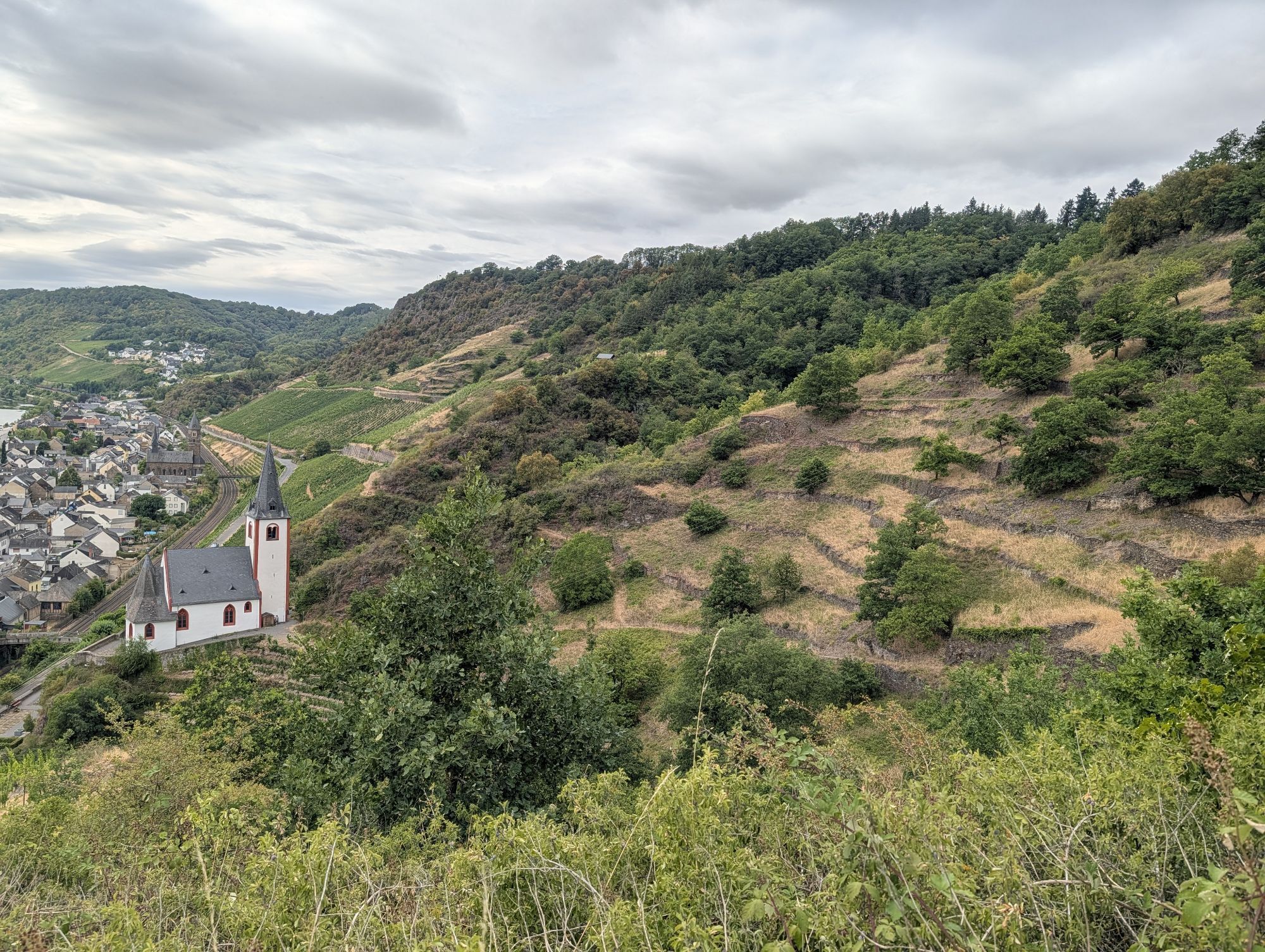
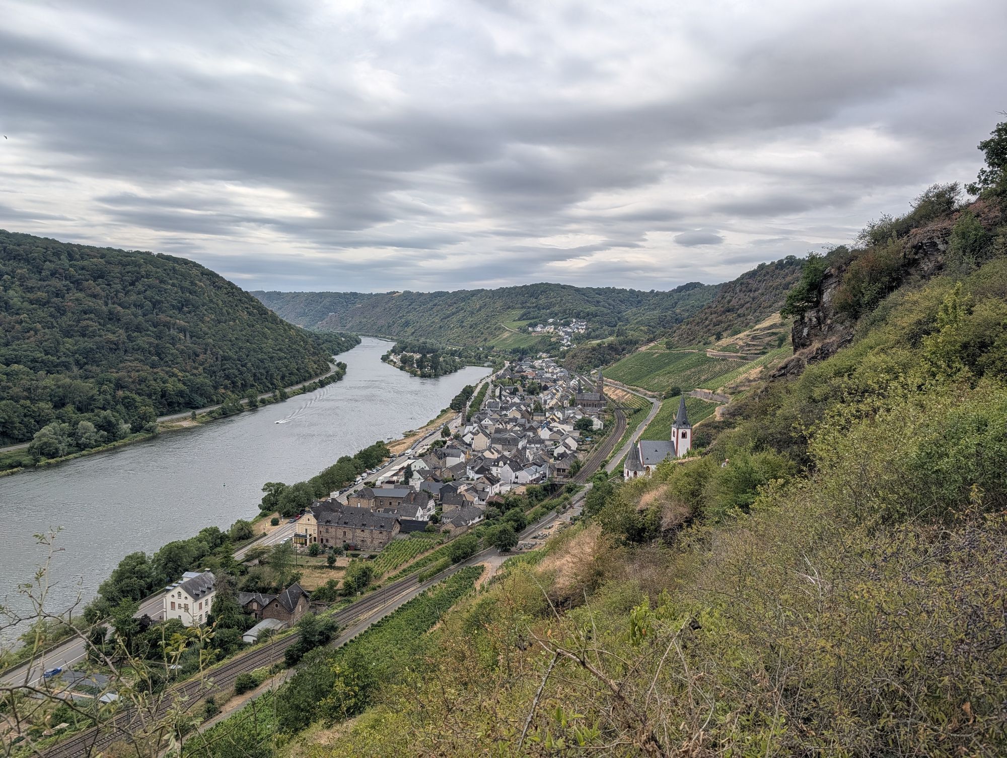
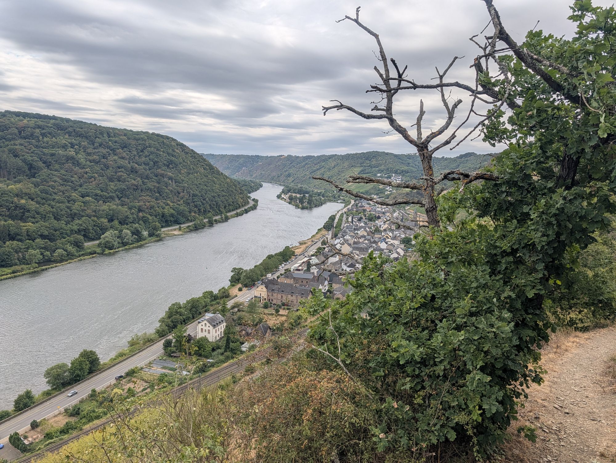
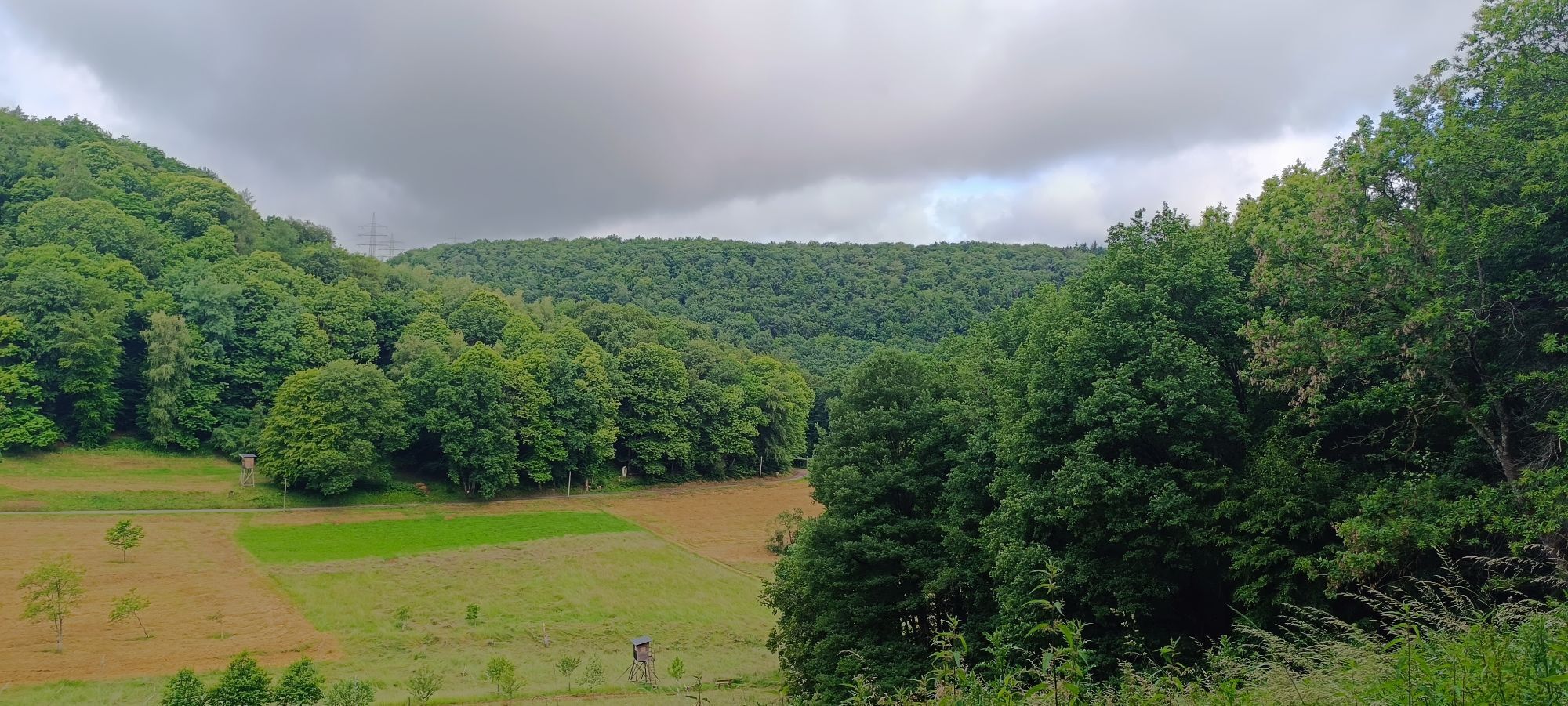
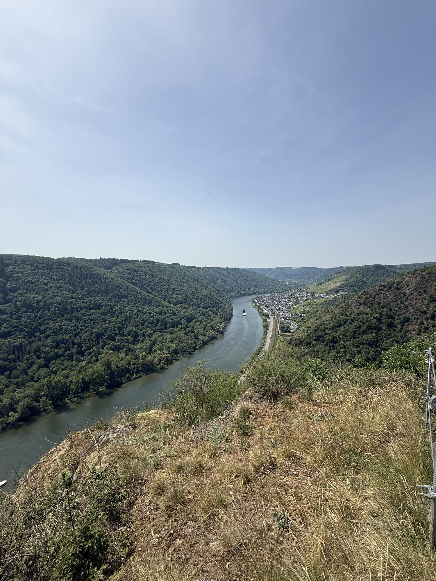
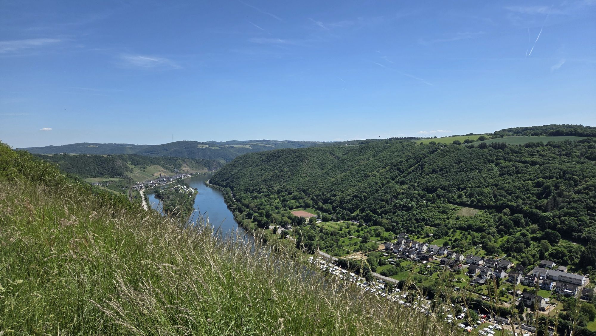
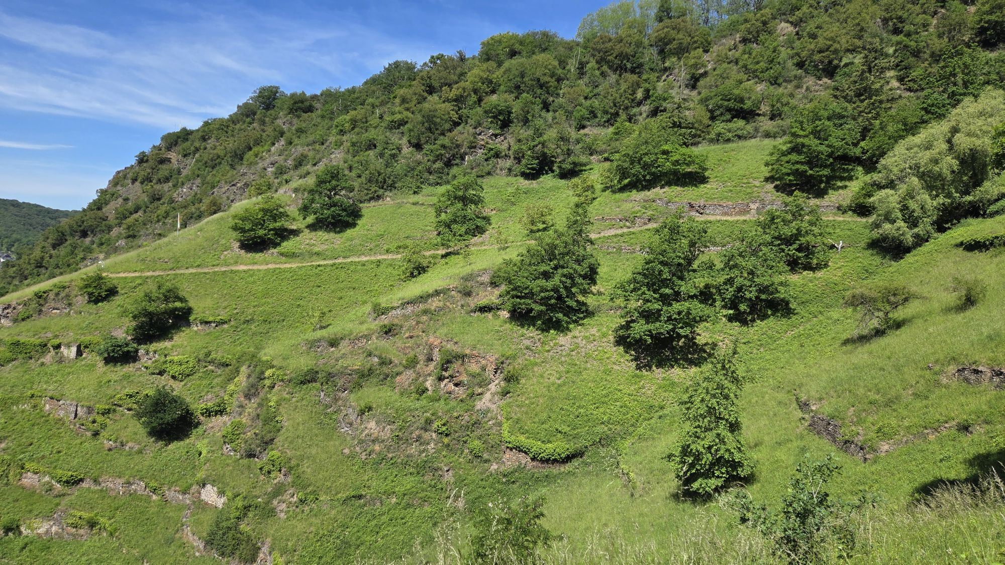
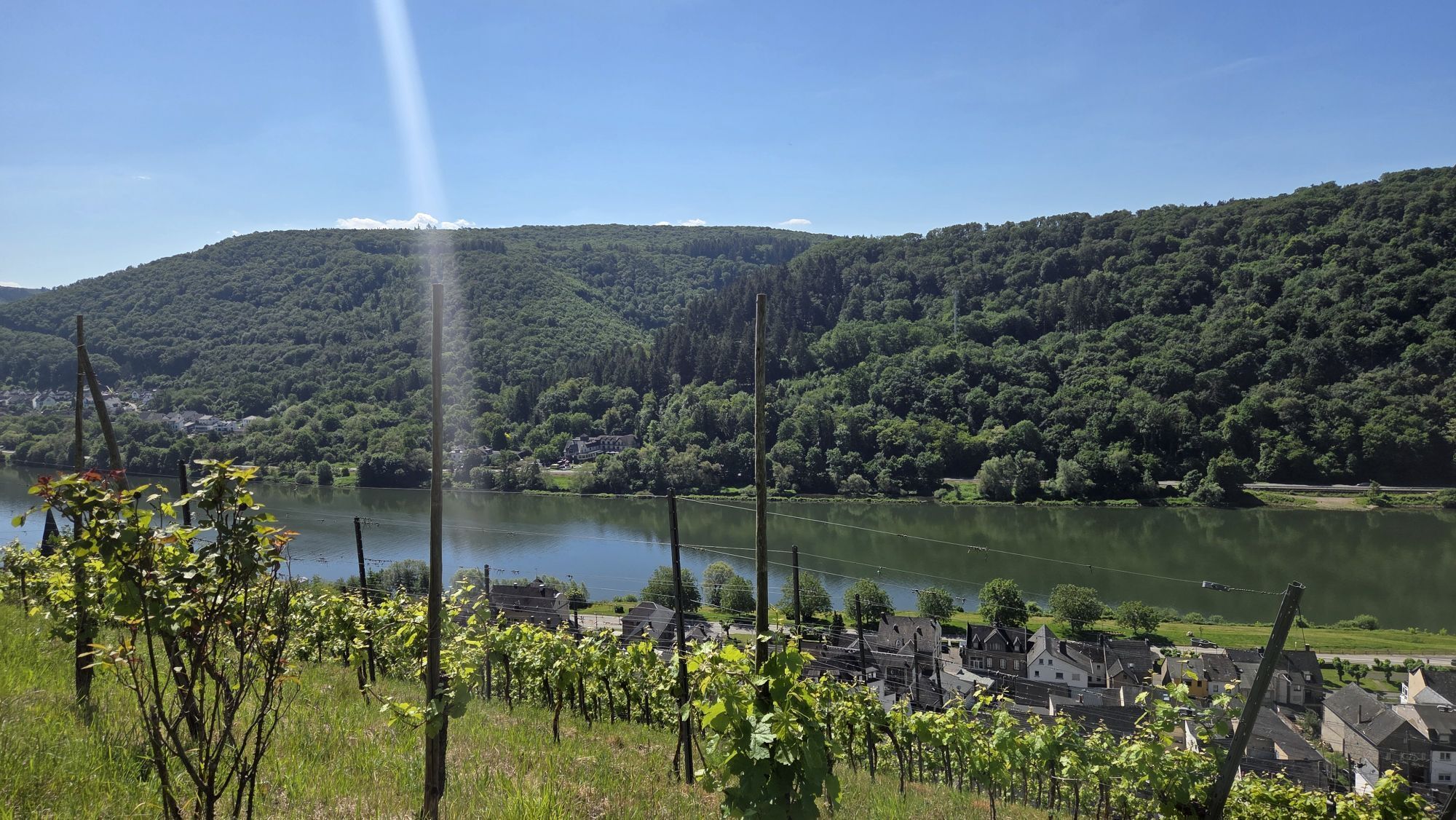
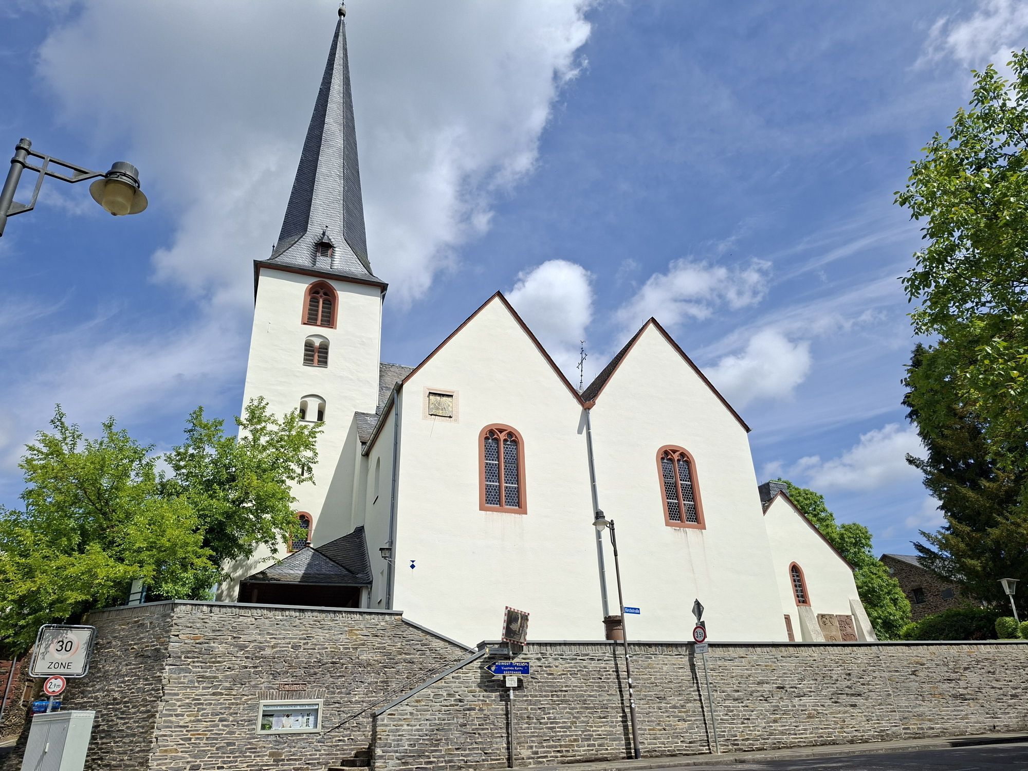
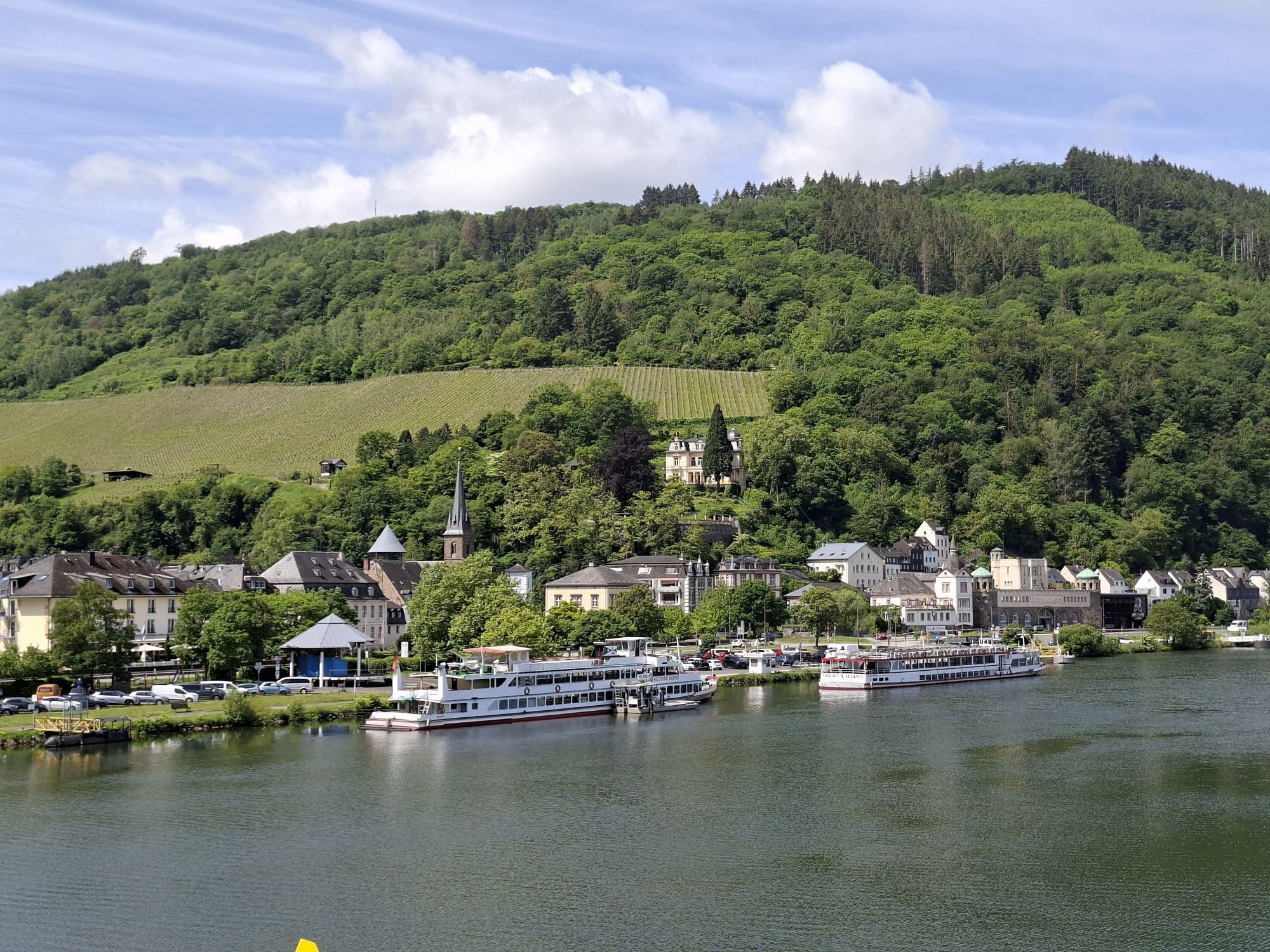
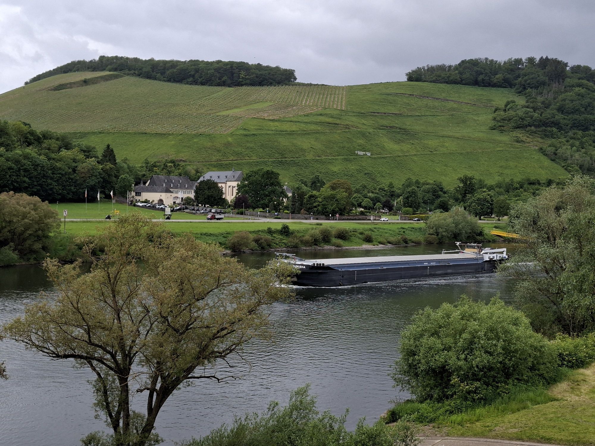
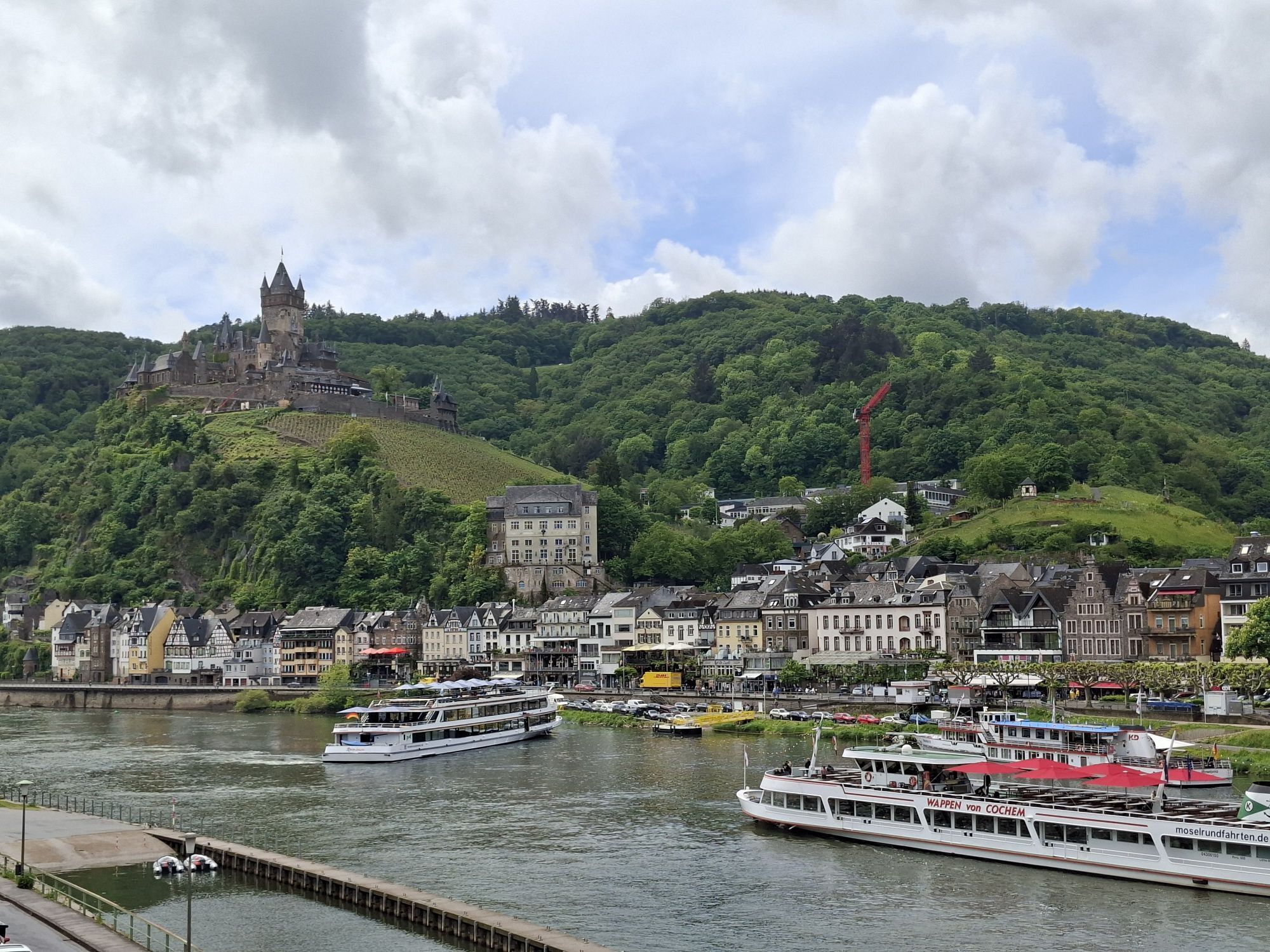
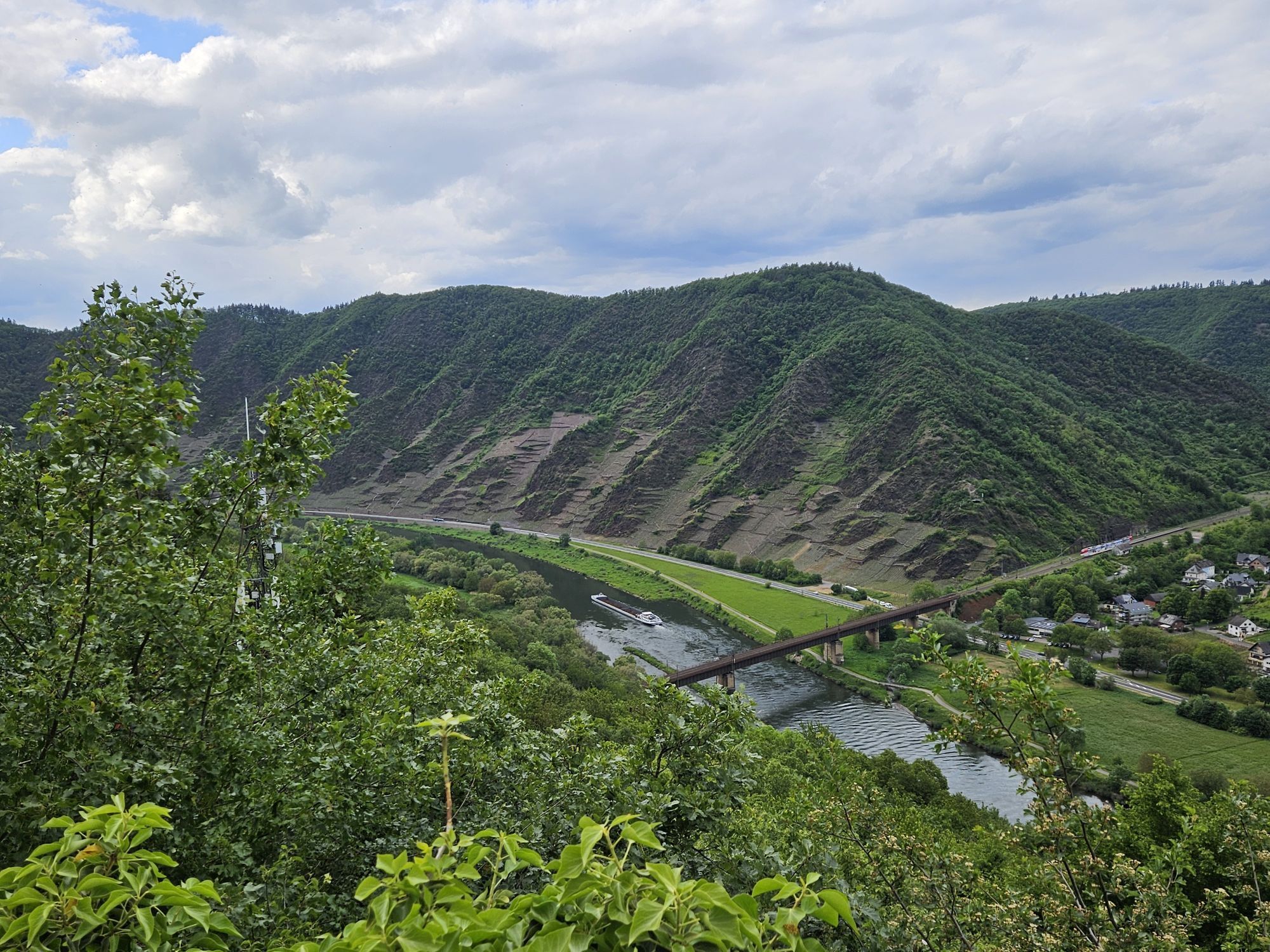
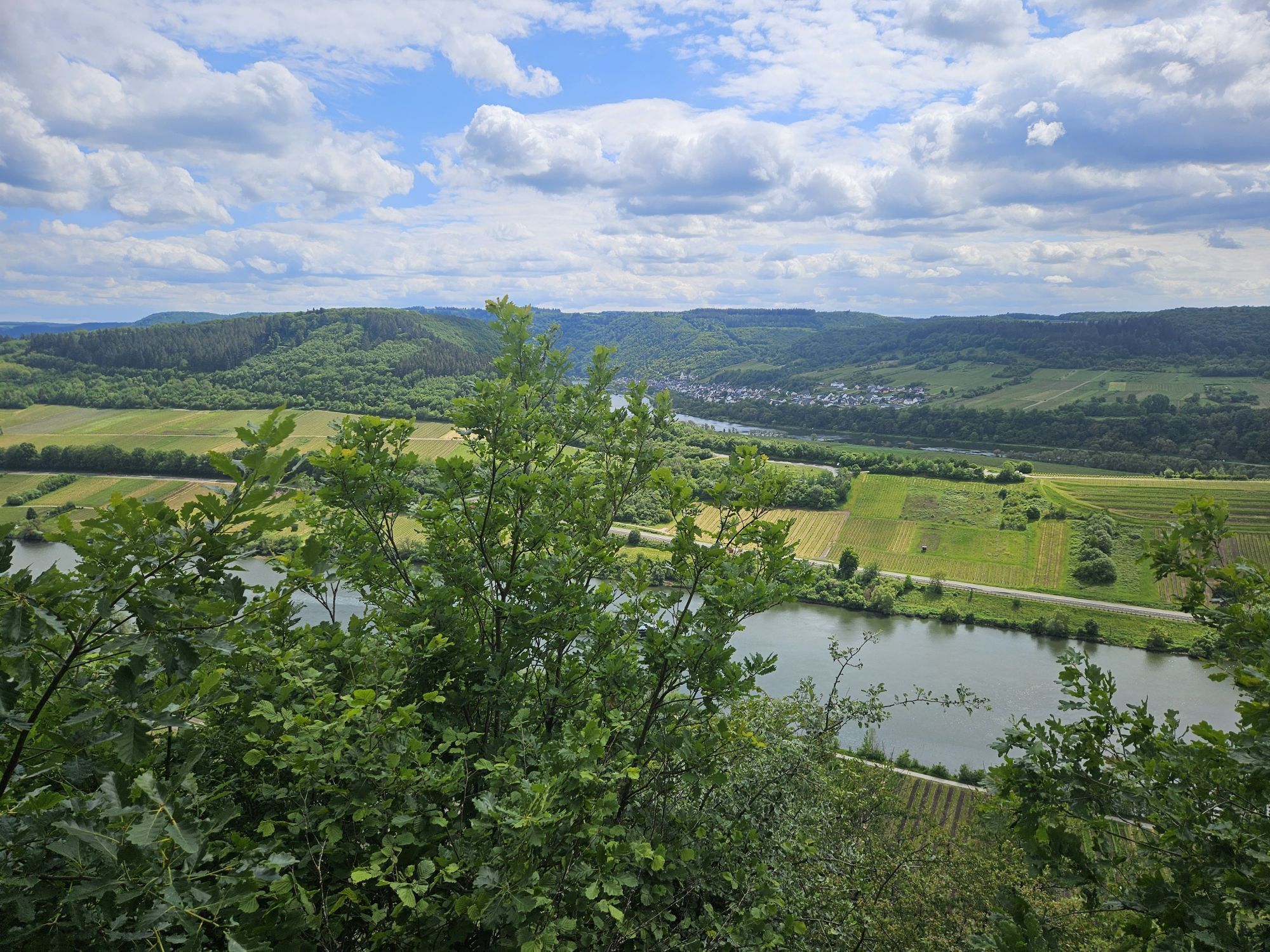
On 24 very differently shaped stages, hikers can expect equally different impressions. Sometimes they lead through forest, sometimes through vineyards, sometimes along the Moselle riverbank, and sometimes along scenic ridge edges. They fascinate with closeness to nature as well as the proximity to culturally rich history. The numerous viewpoints provide unforgettable views. And if that’s still not enough, certified partner circular trails of the Moselsteig, the side trips, Mosel dream paths, as well as the dream paths offer interesting excursions in the immediate vicinity.

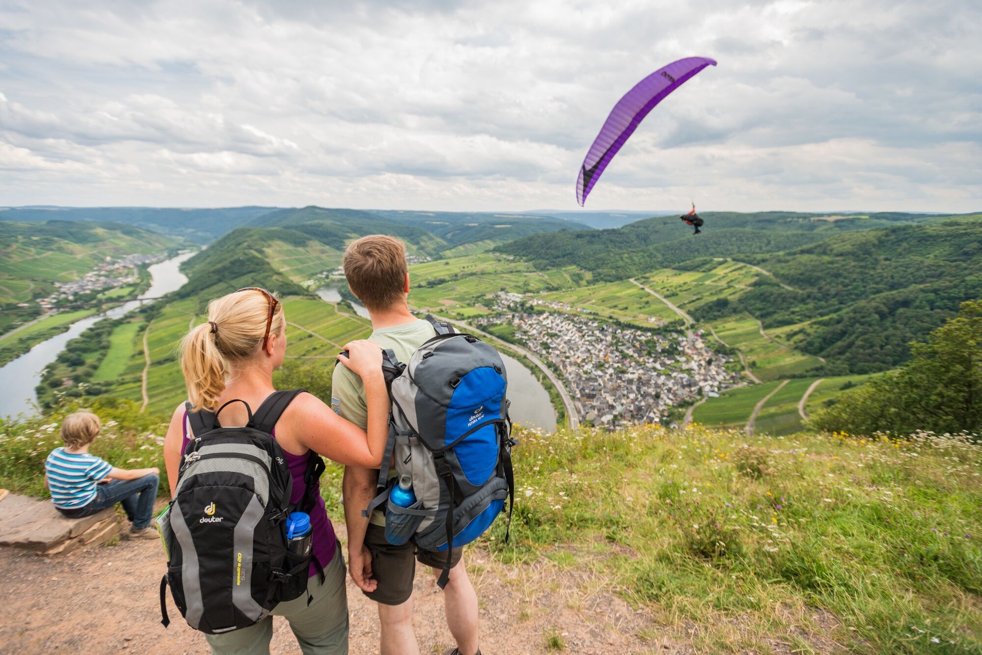
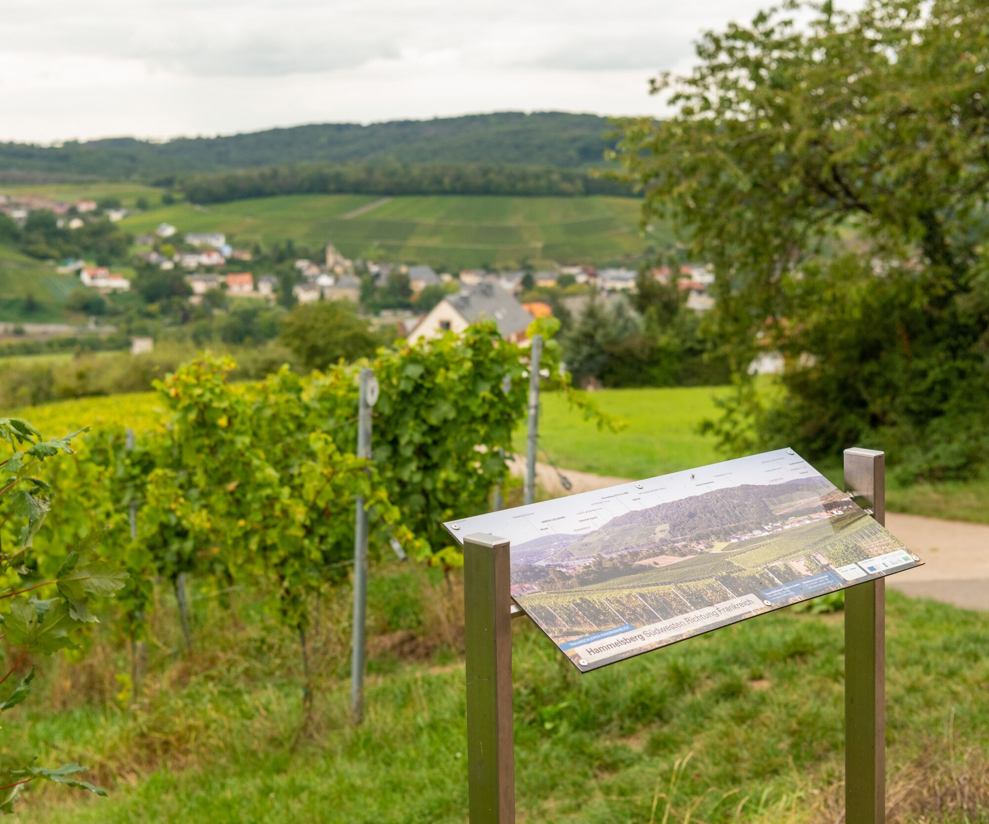
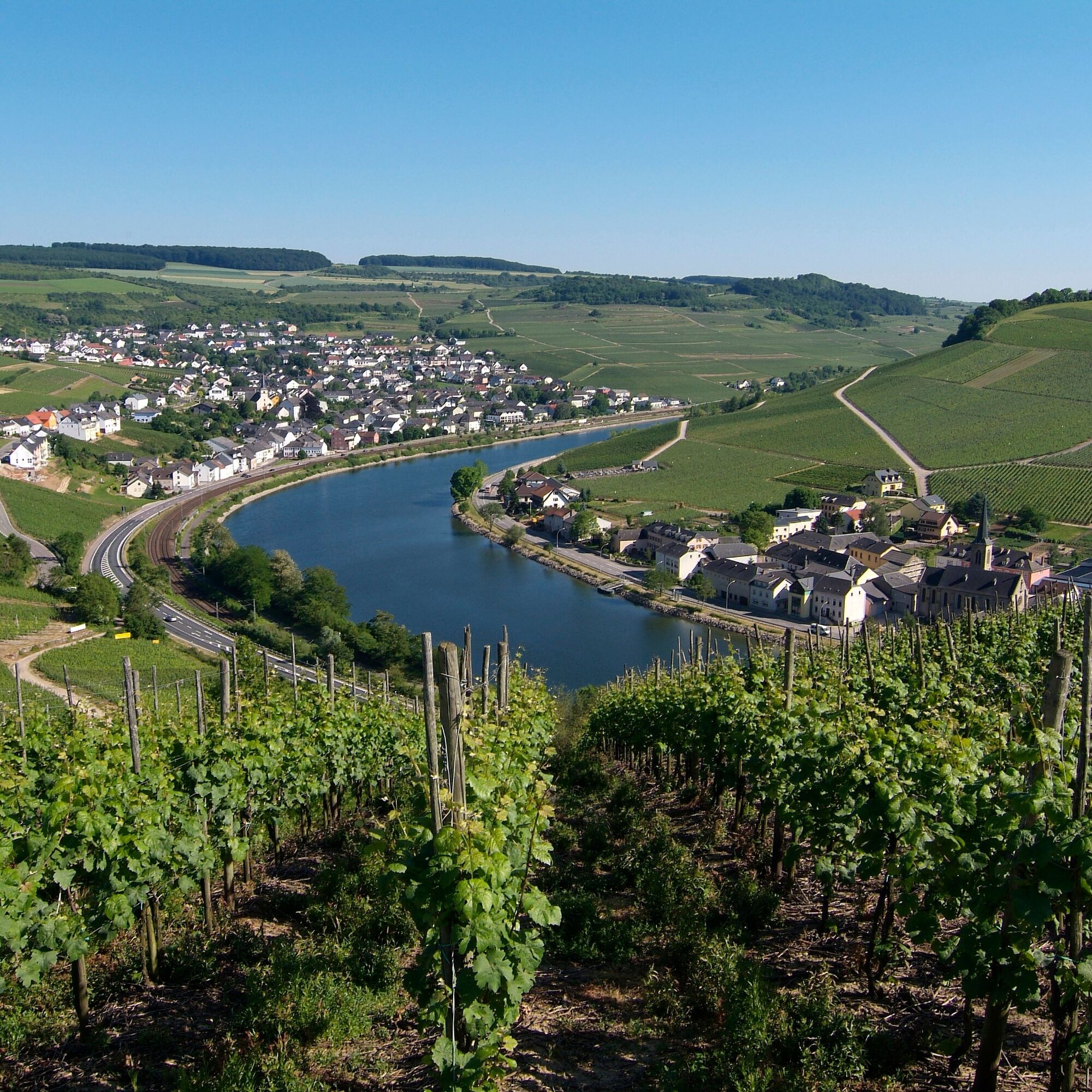
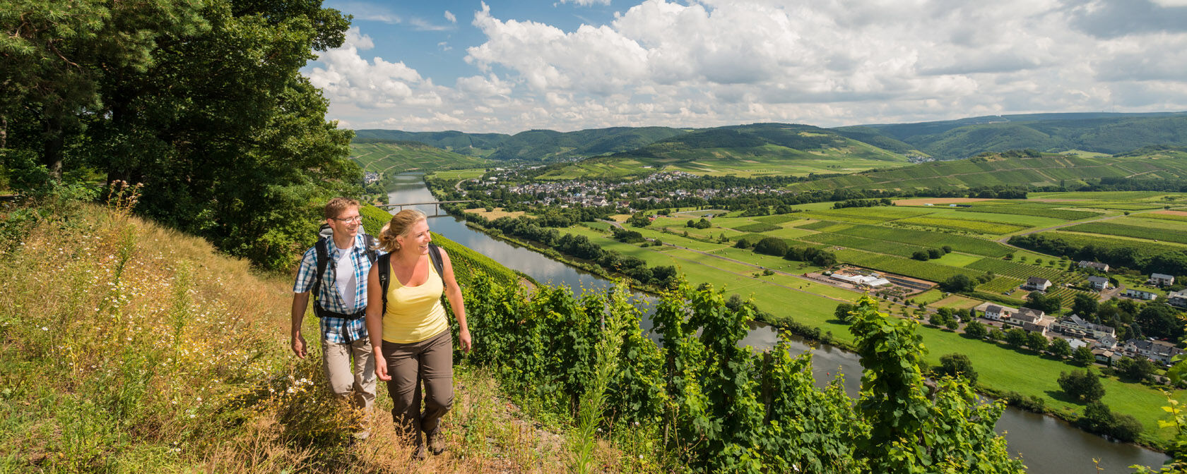
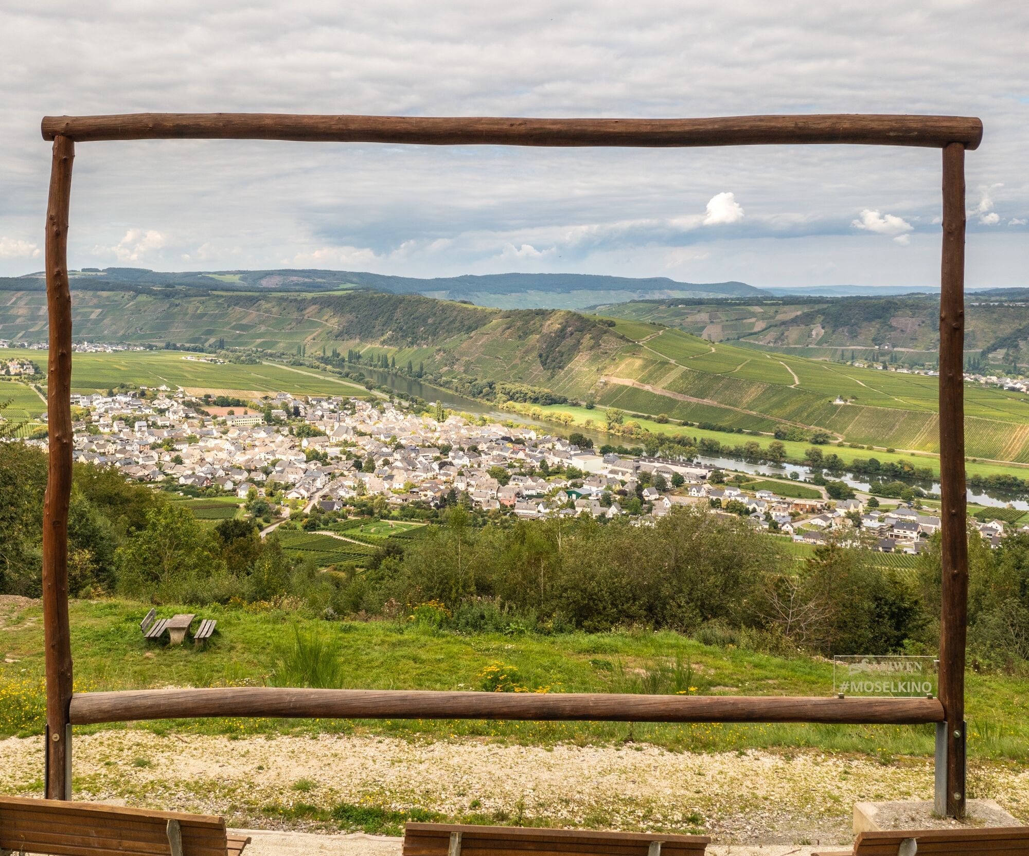
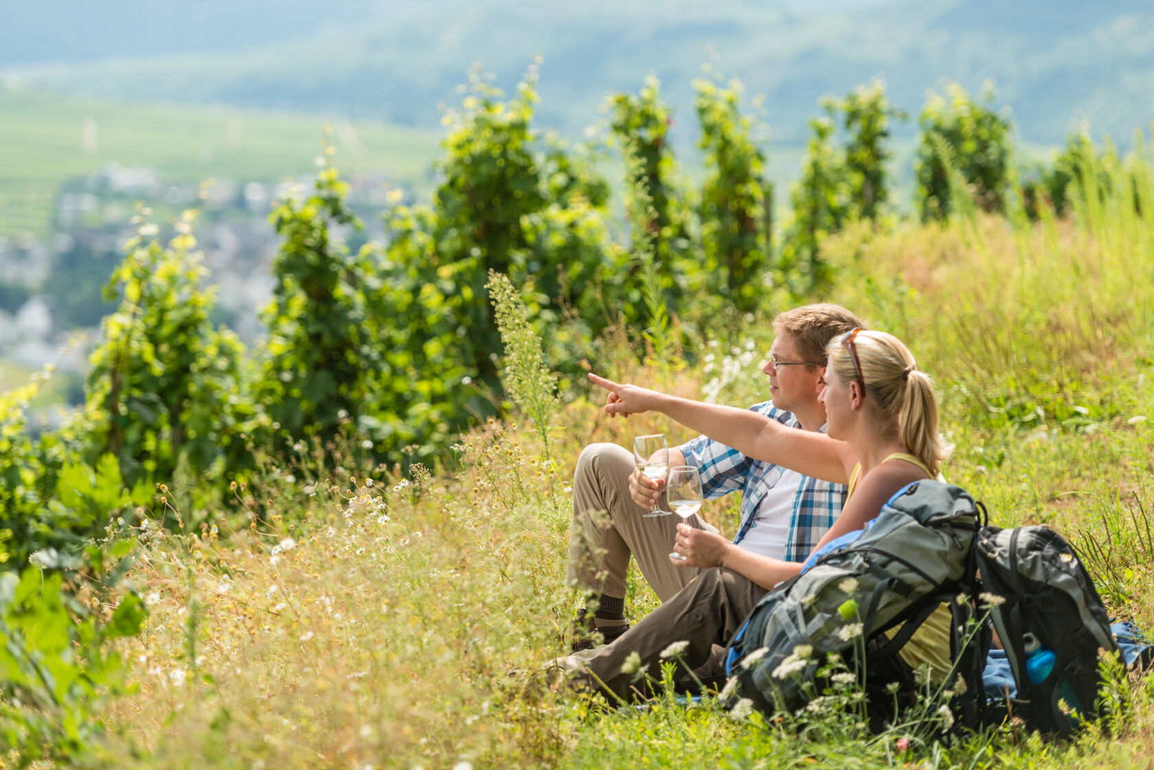
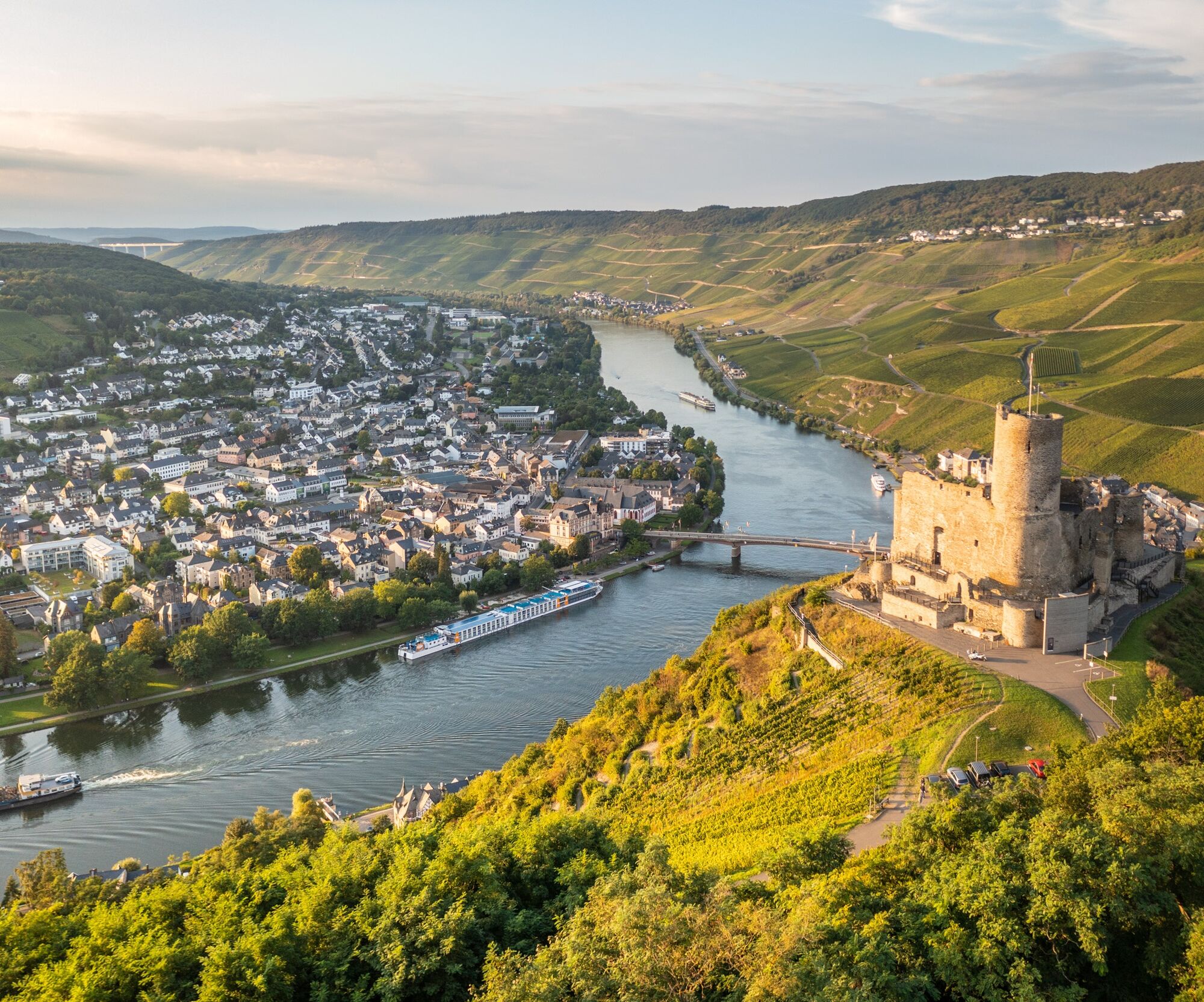
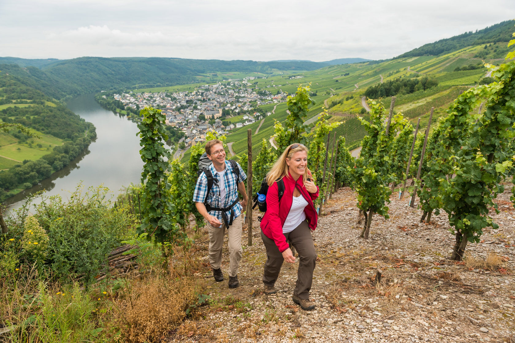
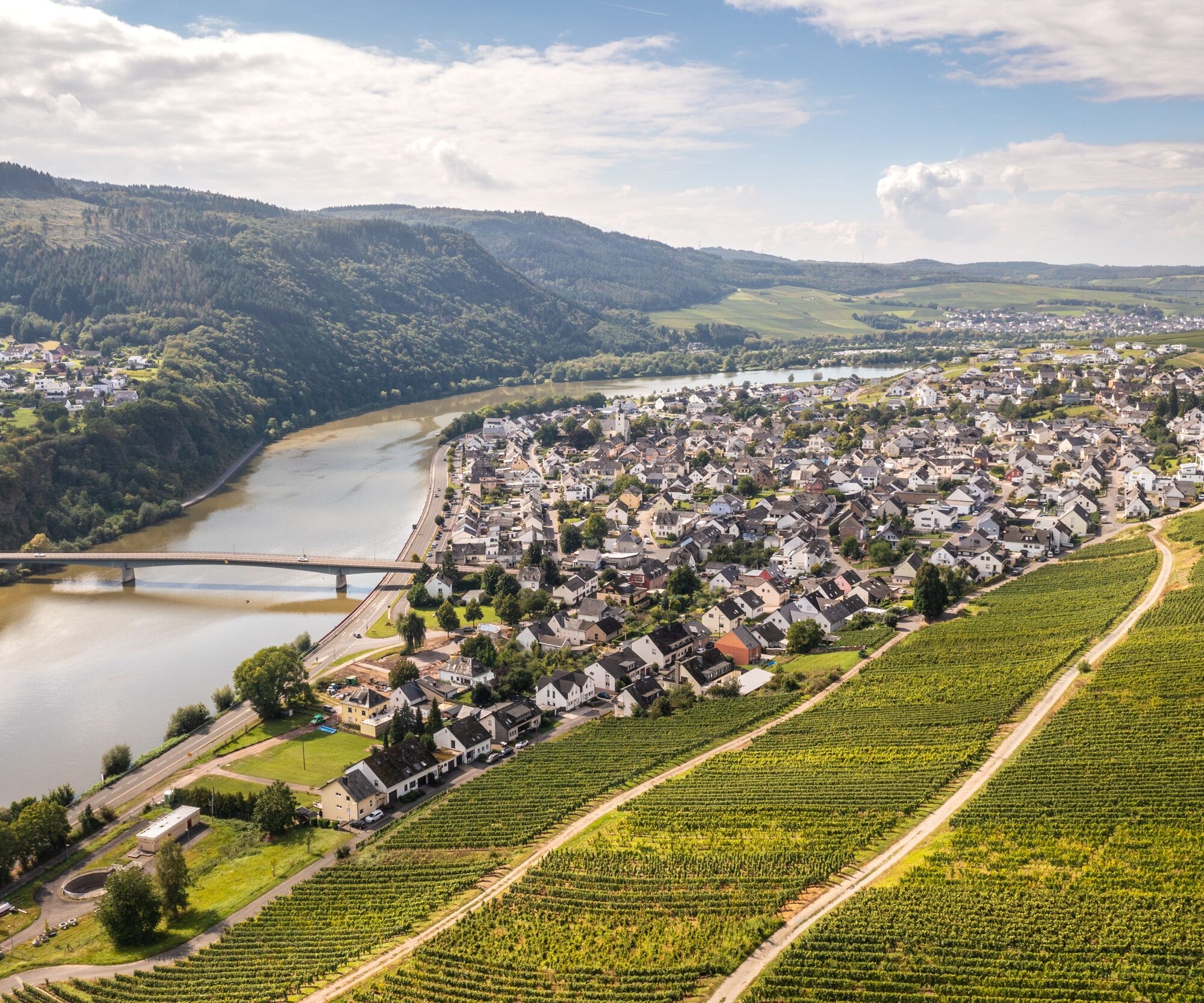
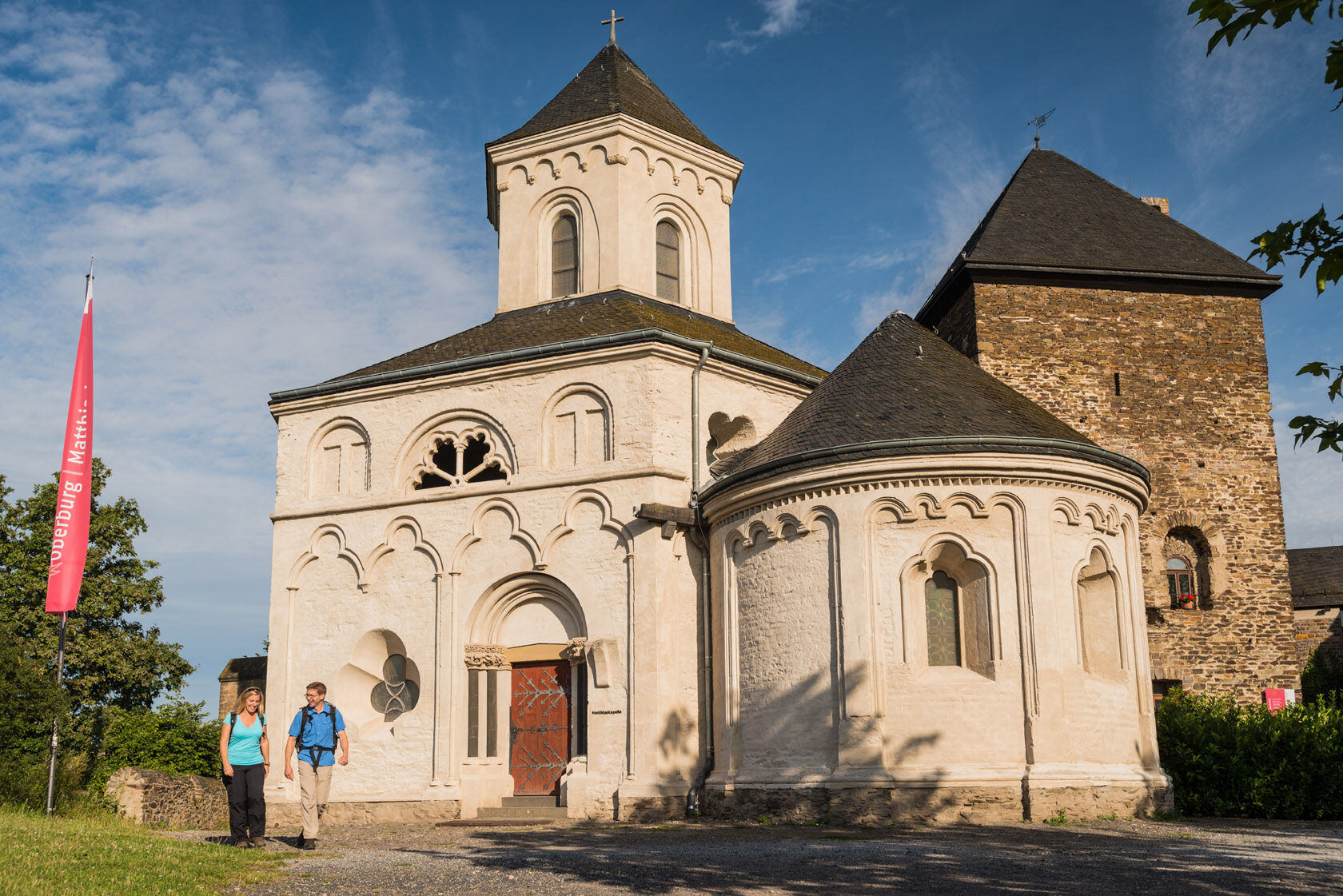


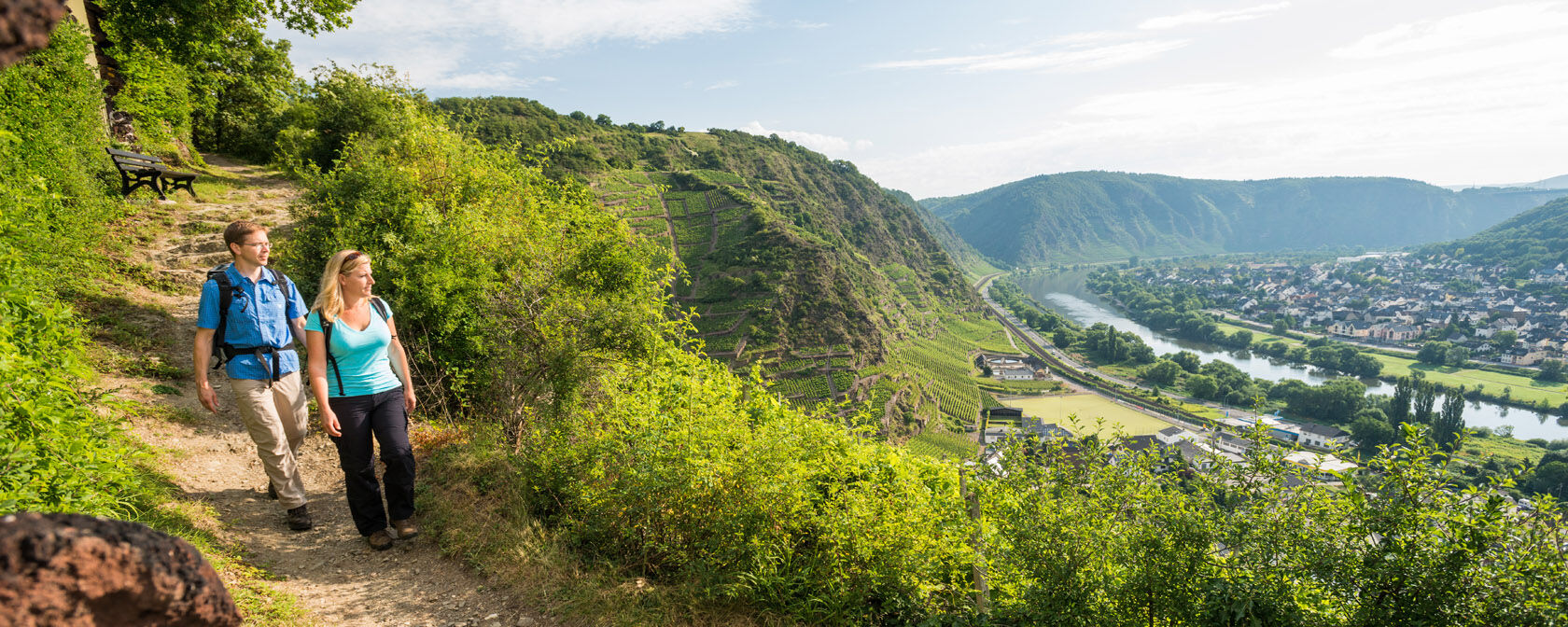


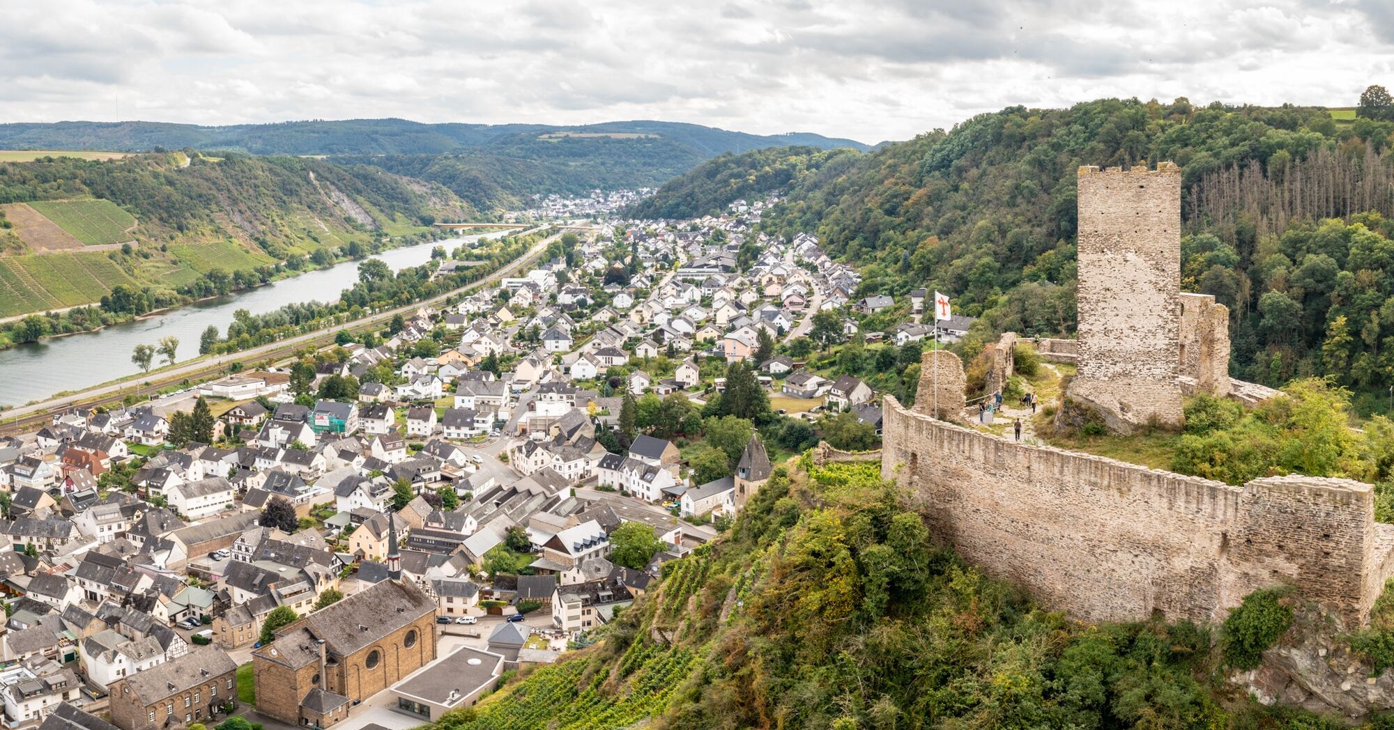
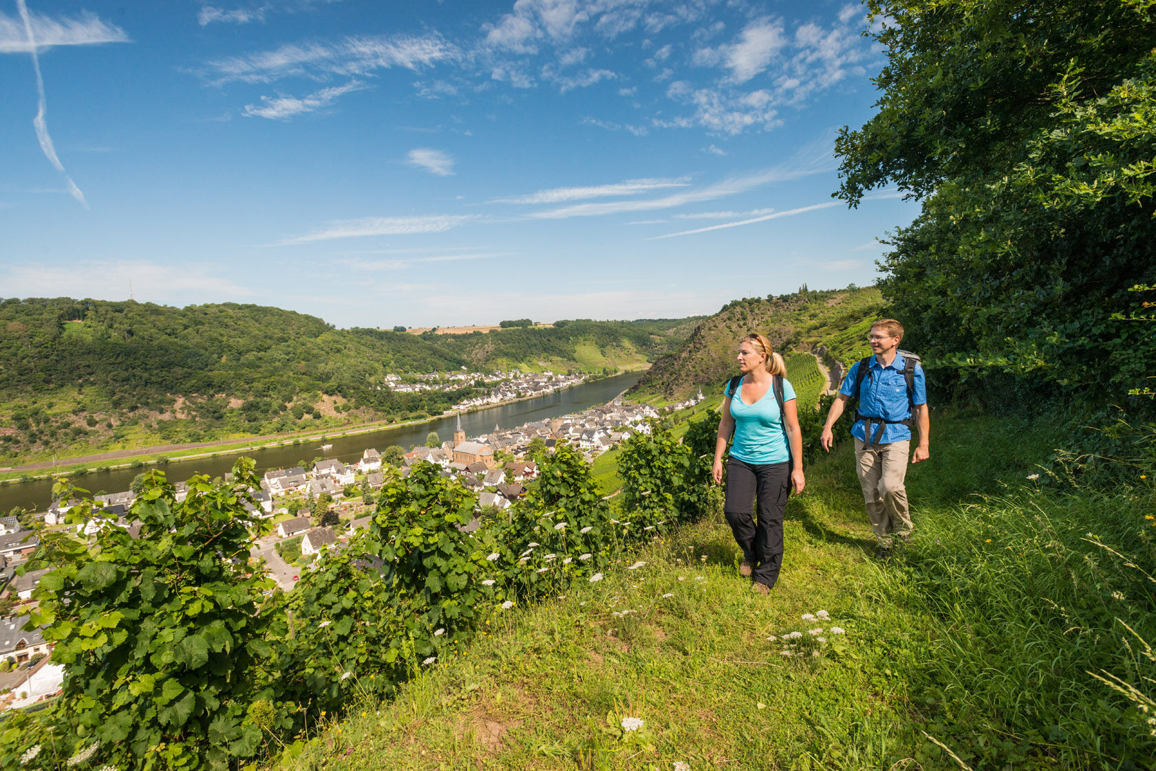

Hiking in one of Europe's most beautiful cultural landscapes, that's hiking on the Moselsteig!
With 365 varied hiking kilometers divided into 24 different stages, the Moselsteig follows the German Moselle from Perl at the German-Luxembourg-French border to the mouth in Koblenz. It is thus one of the longest quality long-distance hiking trails in Germany and one of the first to carry the European quality label "Leading Quality Trail - Best of Europe".
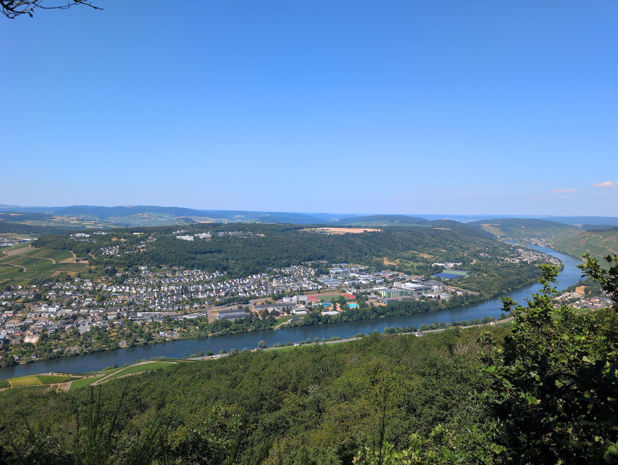
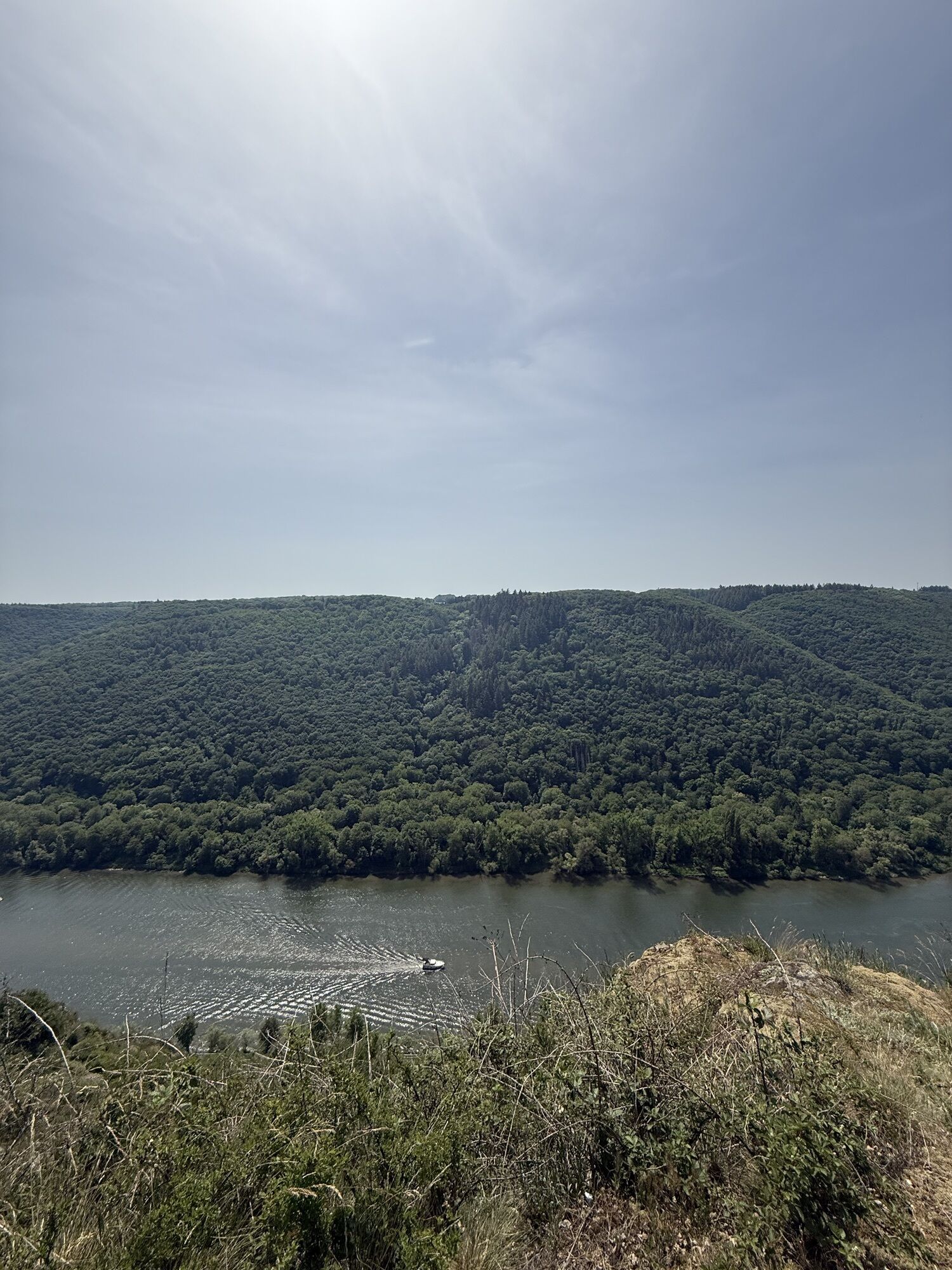
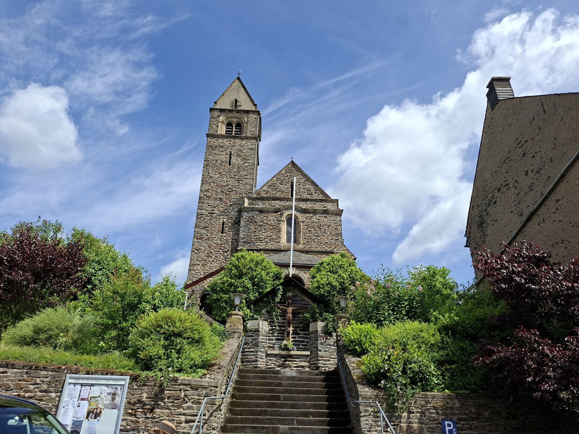
The impressions on a hike on the Moselsteig are as diverse and fascinating as the landscapes the path crosses. Sometimes through forest, sometimes through vineyards, sometimes along the Moselle riverbank, and sometimes along scenic ridge edges that offer a view of the connecting band of the Moselle. The variety makes hiking on the Moselsteig so entertaining. The trail can captivate with closeness to nature and repeatedly leads to culturally rich history. Numerous viewpoints provide unforgettable views – of the cultural landscape shaped by viticulture for centuries and the river.
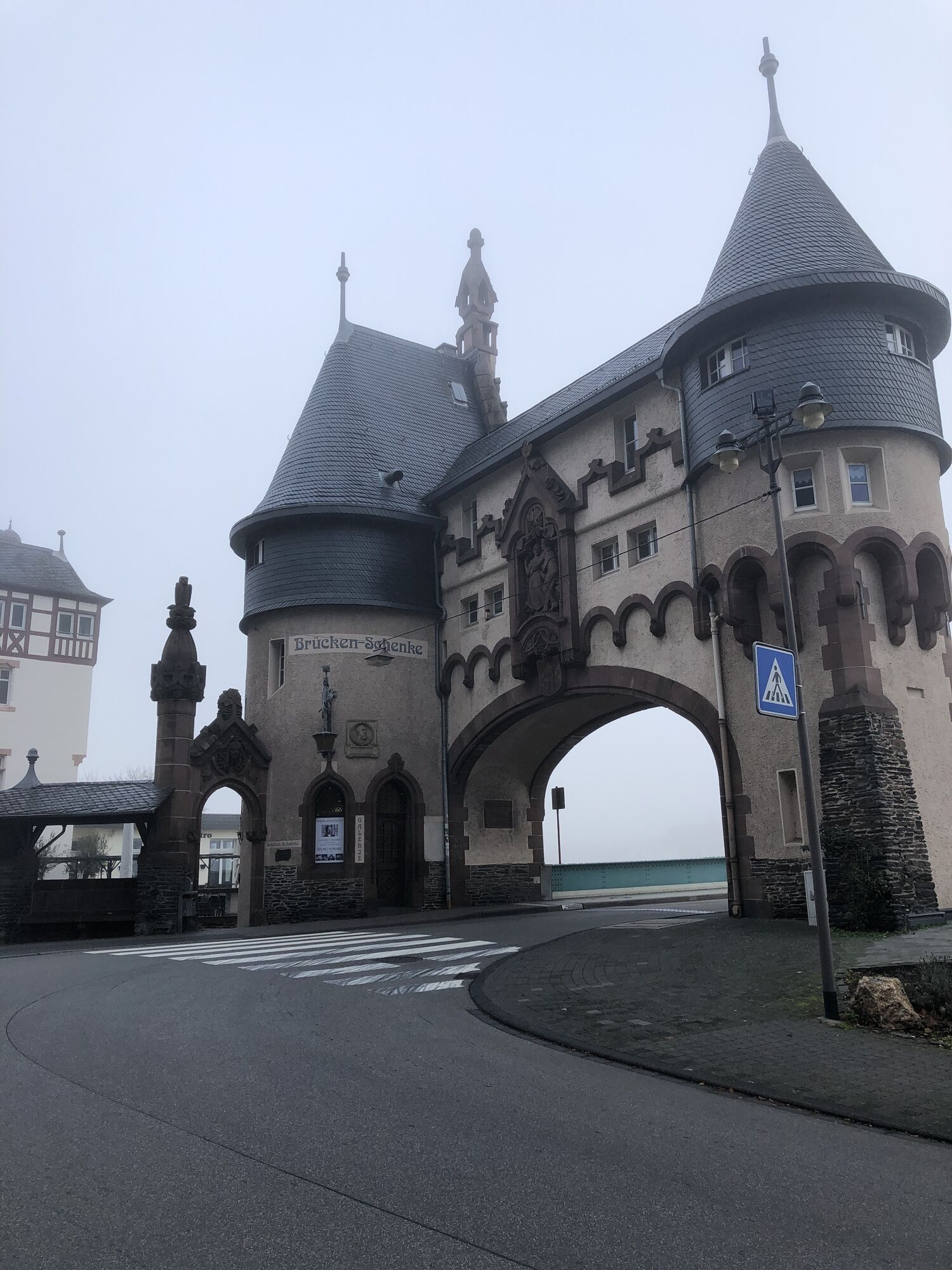
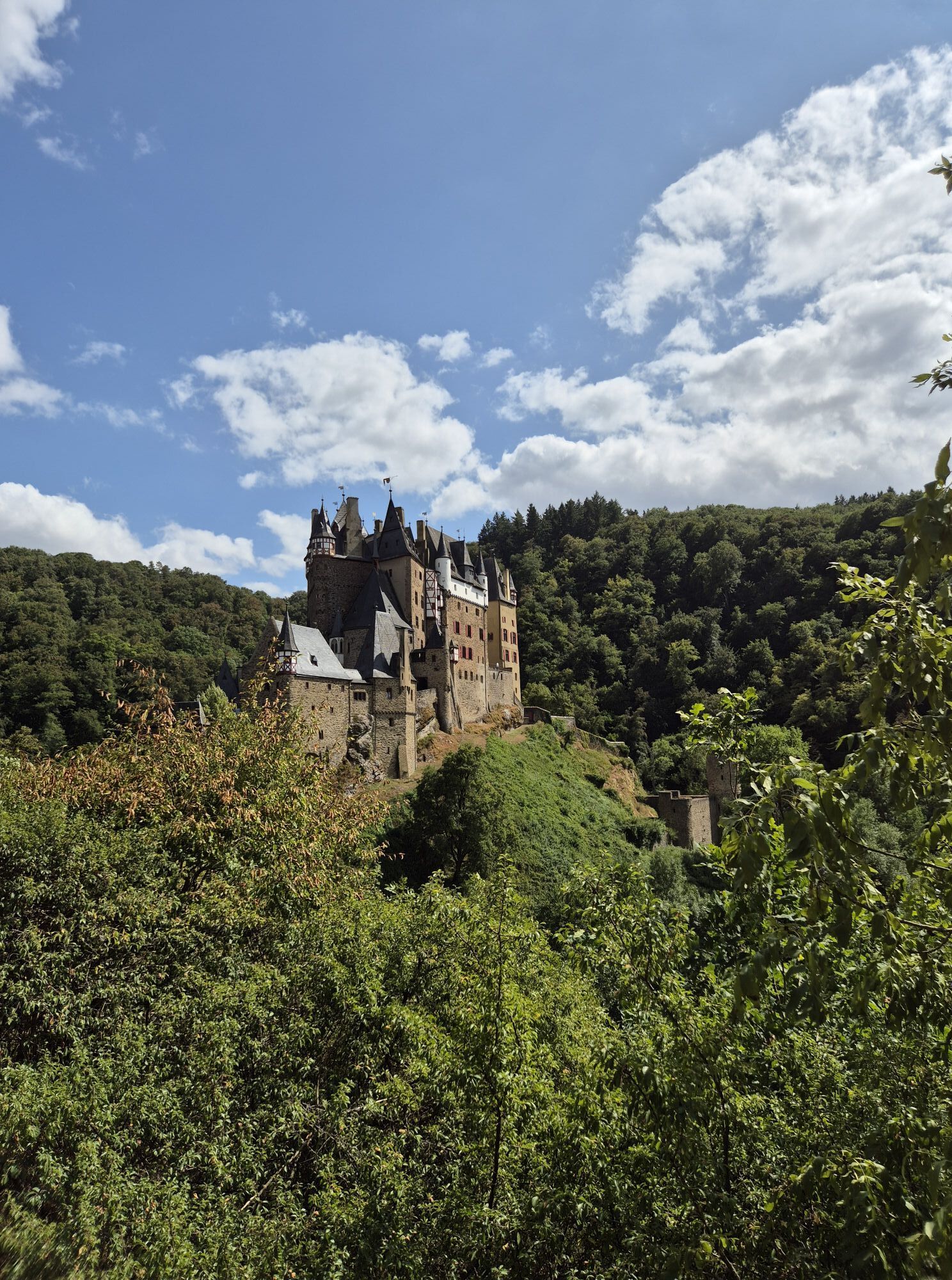
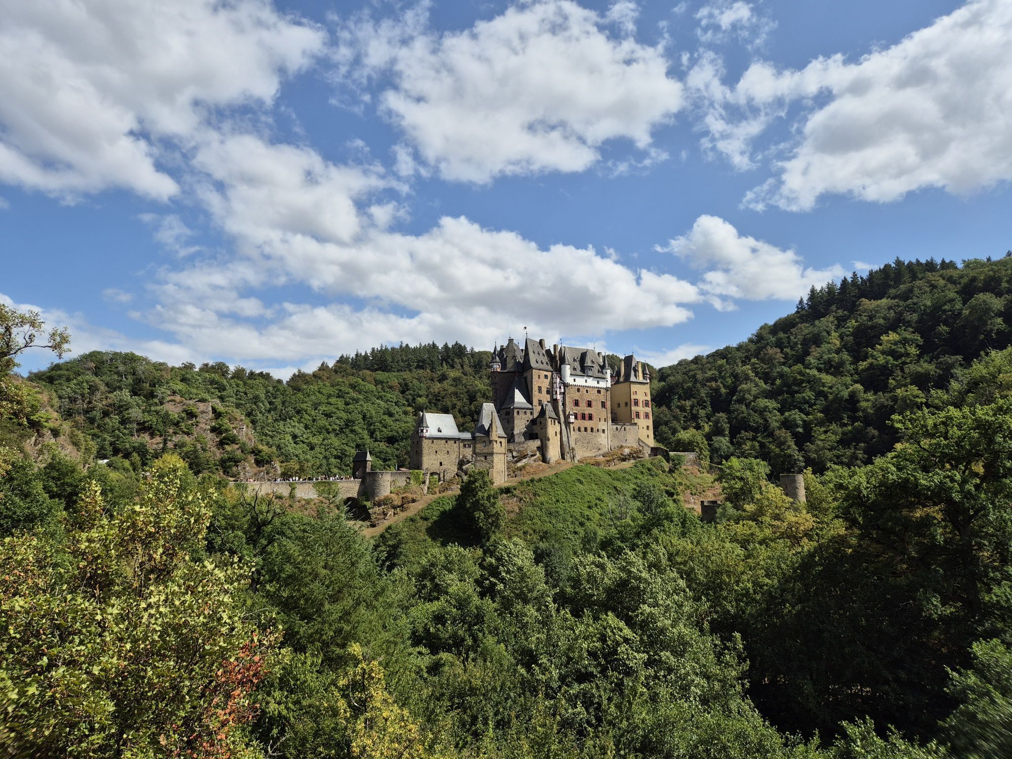
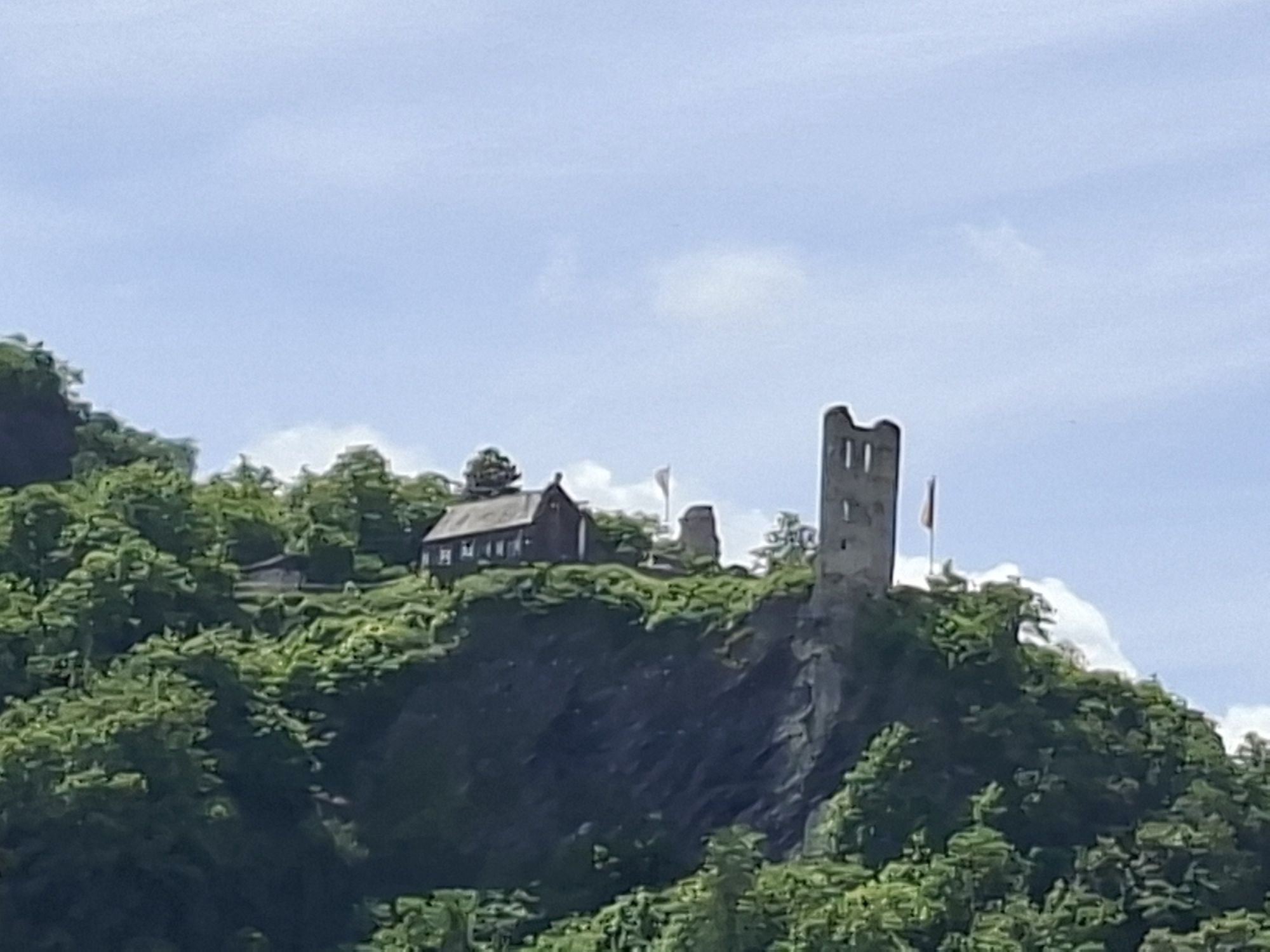
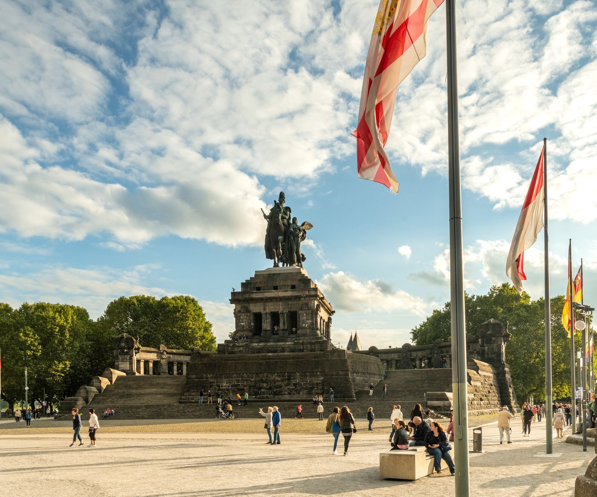
The stages along the Upper Moselle delight hikers with an open, wide landscape with gentle, vine-covered hills, from which the view extends to the neighboring countries of France and Luxembourg. Further downstream leads to Trier, Germany's oldest city. Here the landscape changes: the river course fascinates with its world-famous meanders, steeply sloping vineyards, and picturesque, globally renowned towns such as Bernkastel-Kues, Traben-Trarbach, Zell (Moselle), and Cochem. Finally follows the Terraced Moselle: the river valley becomes narrower and partly shows high and steep slopes and terraced steep locations. Scenic and cultural highlights like Europe's steepest vineyard, the Bremmer Calmont, or Eltz Castle lie directly on the route here. The Deutsches Eck in Koblenz, where the Moselle flows into the Rhine, finally marks the end – or the start – of the Moselsteig.
Moselle wine and the hospitality of the people during a stop or overnight stay make hiking on the Moselsteig an extraordinary experience. Those who cannot get enough of hiking in the Moselle valley should not miss any of the side trips (the circular routes to the Moselsteig).
Tak
The Moselsteig is a demanding hiking trail in the low mountain range.
On all stages, we recommend sturdy footwear and weather-appropriate, functional hiking clothing.
The Moselsteig repeatedly leads through towns in the Moselle valley. Especially in summer, we recommend bringing a backpack with food (enough drinks), as some stages lead over longer distances through sunny vineyards.
Please keep in mind that in the winter months some shopping facilities as well as gastronomy and overnight accommodations are not open.
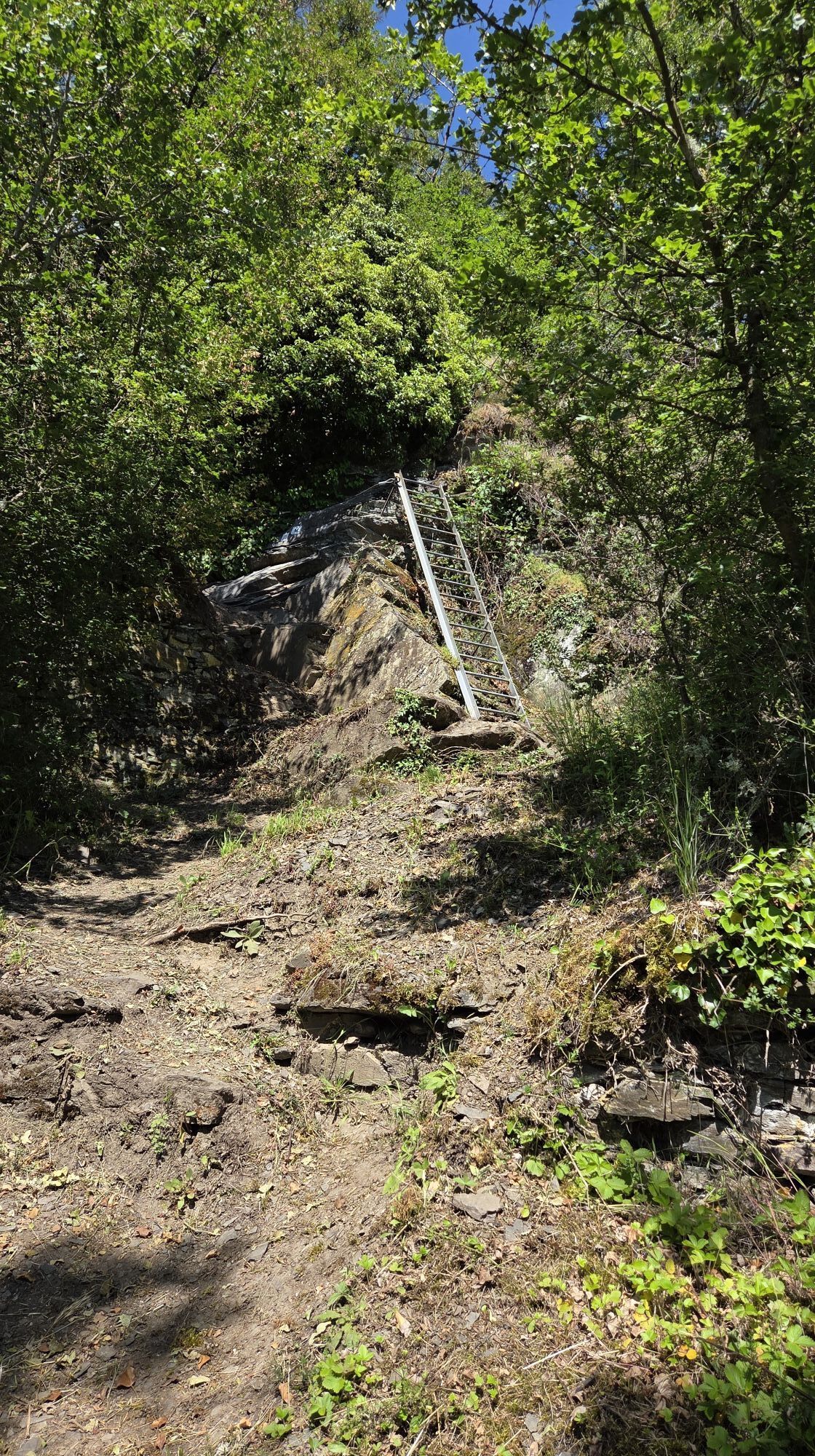
The Moselsteig was designed as a demanding hiking trail. On some Moselsteig stages, surefootedness and a minimum degree of freedom from dizziness are required. These sections are indicated in the route descriptions for the individual stages.
Information on how to get to the start/end points of the respective stages is provided in the respective stage routes.
Information on public transport connections to the start/end points of the respective stages is provided in the respective stage routes.
Information on parking facilities at the start/end points of the respective stages is provided in the respective stage routes.
Tak
Mosellandtouristik GmbH
Kordelweg 1
54470 Bernkastel-Kues
Germany
Tel: +49 (0)6531-97330
info@moselsteig.de
Uzyskaj wgląd Zawsze na żywo z ponad 9 500 kamer internetowych. bergfex Jako użytkownik Pro, możesz teraz zobaczyć odpowiednie kamery internetowe dla wielu wycieczek w aplikacji wycieczki od. Pozwala to na bezpośredni podgląd aktualnych warunków. Popularne wycieczki w okolicy
- 5,0
Moselsteig stage 11: Bernkastel-Kues - Ürzig
średnidługodystansowy szlak pieszy 17,1 km - 4,2
Moselsteig stage 14: Reil – Zell (Mosel)
światłodługodystansowy szlak pieszy 12,4 km - 5,0
Moselsteig Detour Graf Georg Johannes route
średniWędrówka 14,1 km - 4,0
Moselsteig side route Leiermannspfad
średniWędrówka 10,9 km - 4,5
Moselsteig stage 12: Ürzig – Traben-Trarbach
średnidługodystansowy szlak pieszy 15,1 km - 4,0
Mosel cycle path (entire route): From Perl to Koblenz
ciężkiKolarstwo długodystansowe 247,9 km - 5,0
Moselsteig stage 13: Traben-Trarbach – Reil
średnidługodystansowy szlak pieszy 15,3 km - 5,0
Traben-Trarbach - Bernkastel en terug
średniWędrówka 17,2 km - 5,0
Moselsteig stage 15: Zell (Mosel) – Neef
ciężkidługodystansowy szlak pieszy 19,9 km - 3,8
Alf - Kanonenbahn - Prinzenkopfturm
światłoWędrówka 8,65 km
Wędrówki i tropienie


Nie przegap ofert i inspiracji na następne wakacje
Twój adres e-mail została dodana do listy mailingowej.





