


Mosel cycle path (entire route): From Perl to Koblenz
Poziom trudności: 2
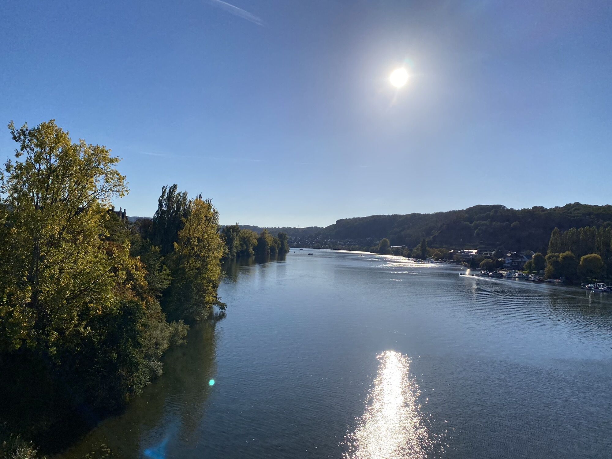
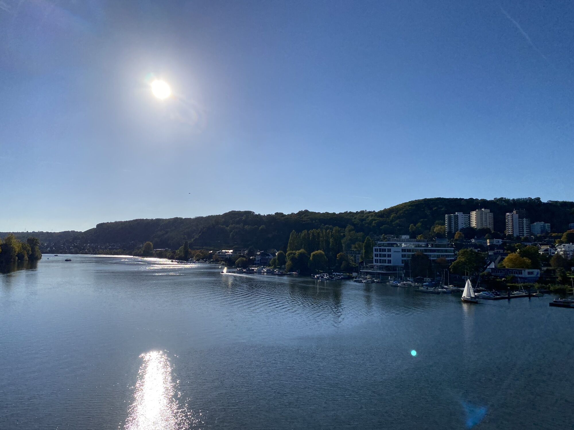


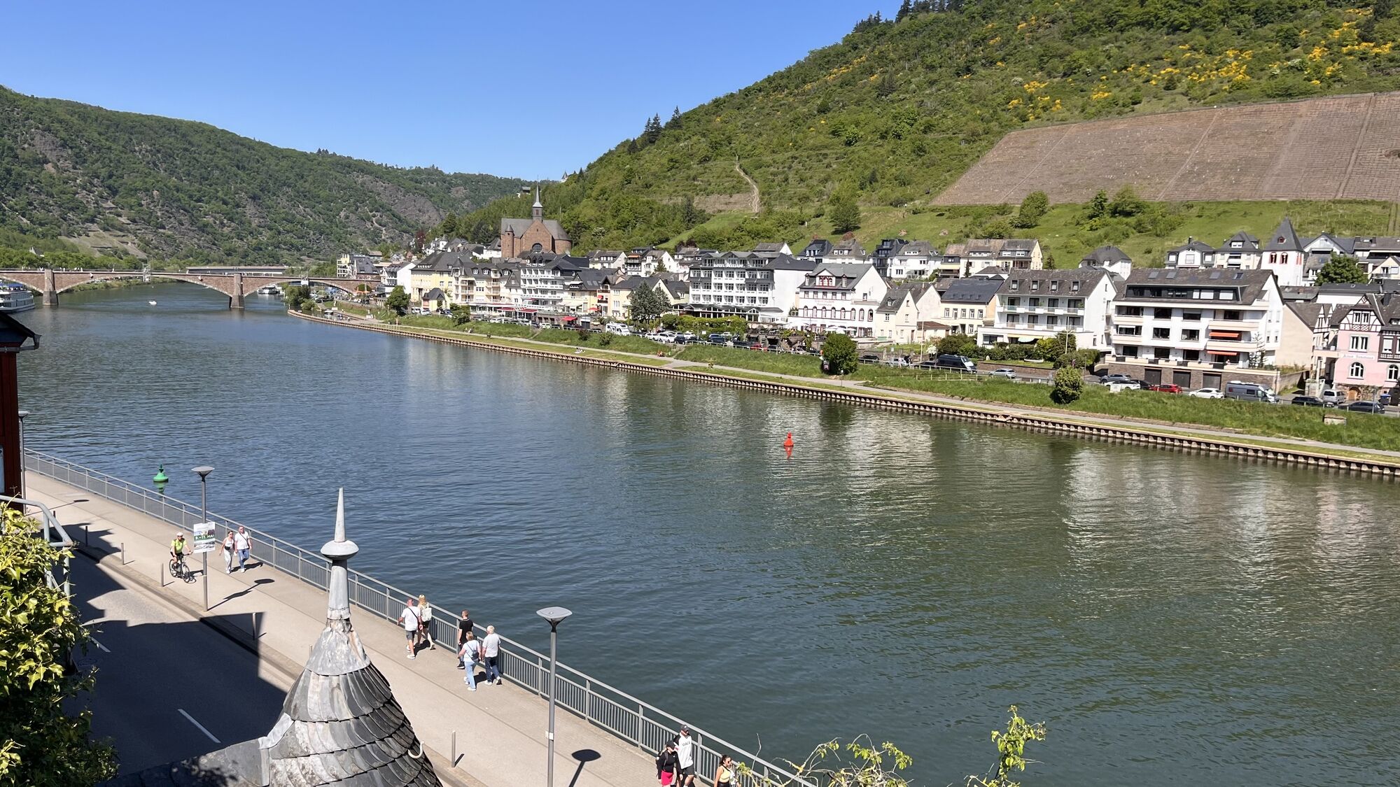

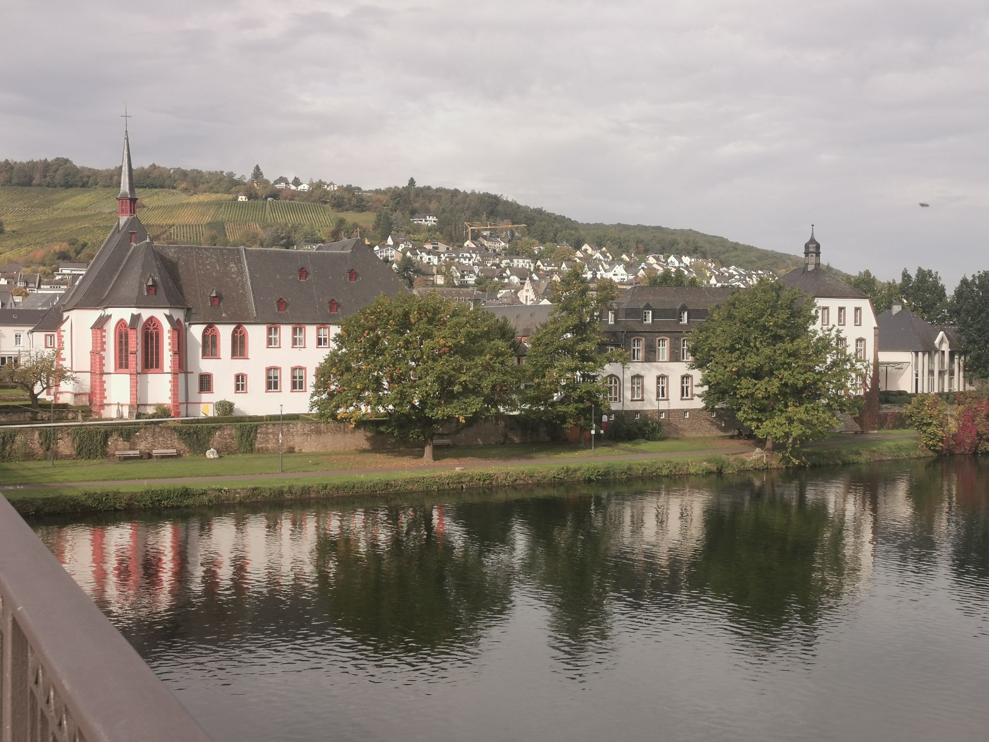
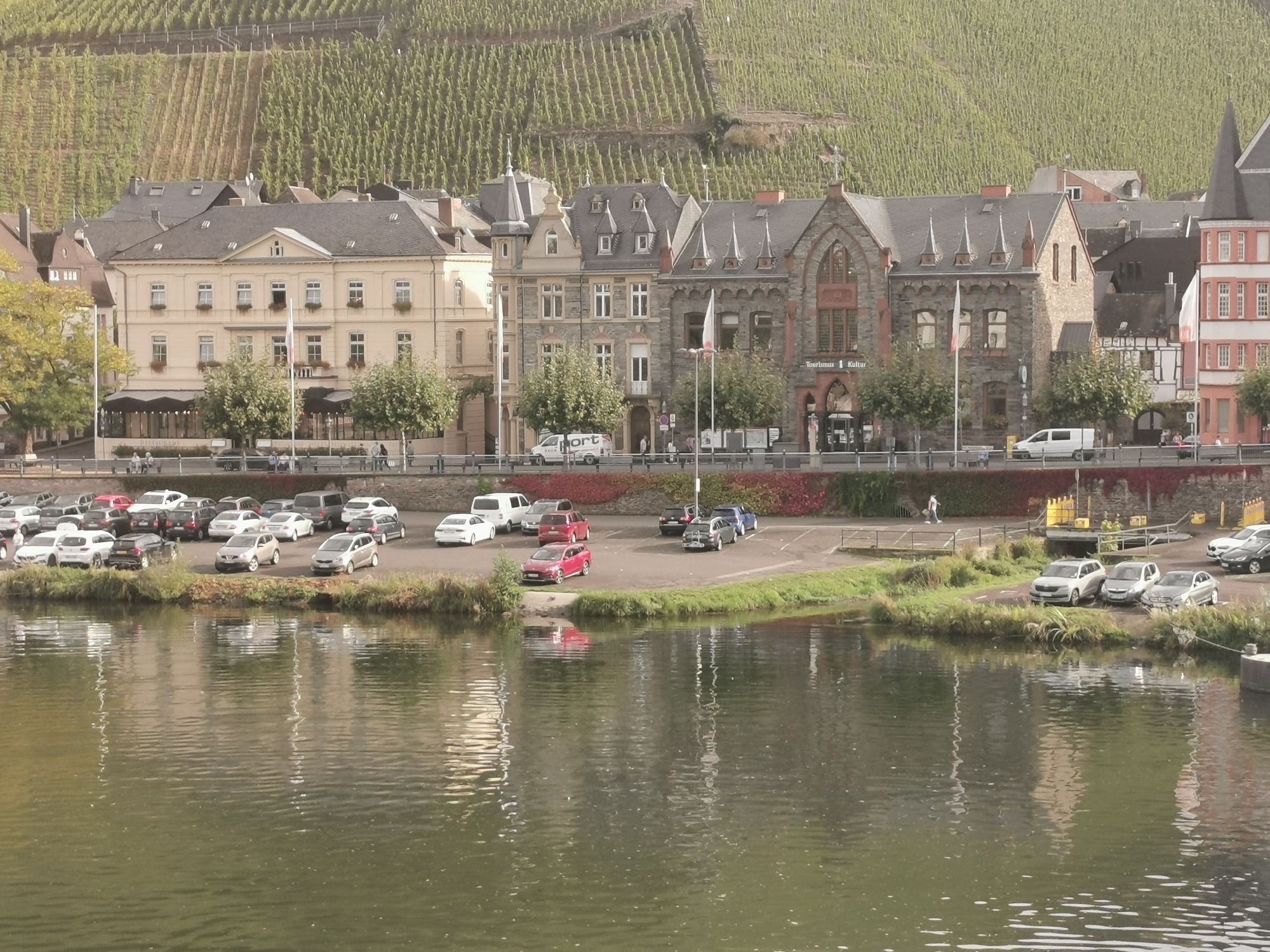
The Mosel cycle path is one of the most popular river cycle routes in Germany and follows the Mosel over 248 kilometers from the tri-border point in Perl to its mouth into the Rhine in Koblenz. The 4-star...
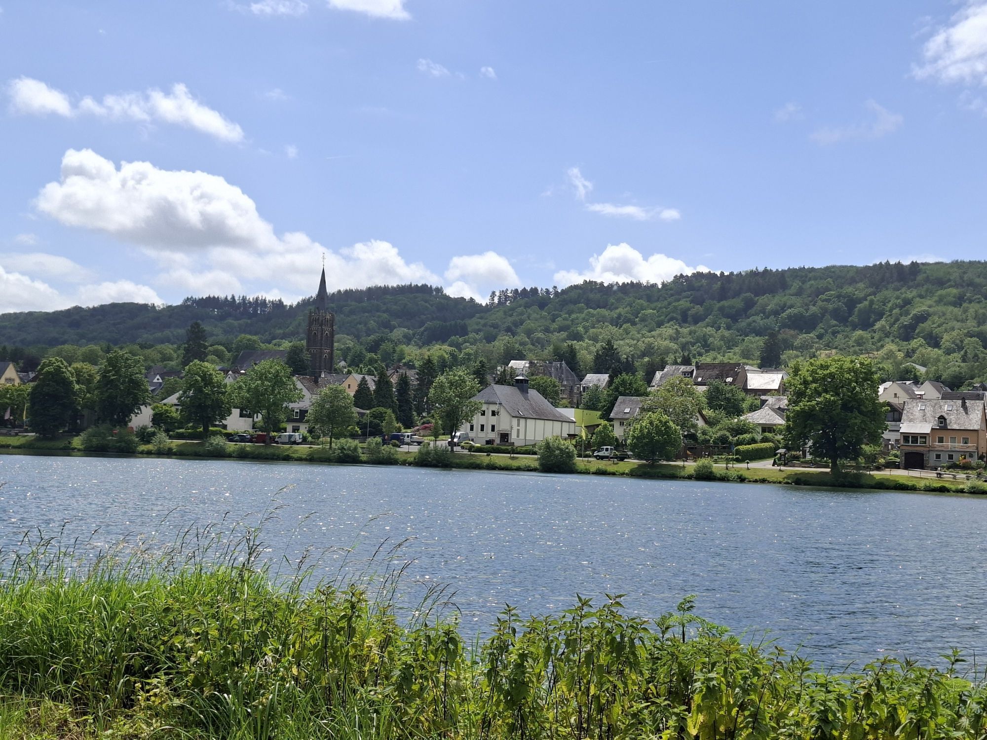
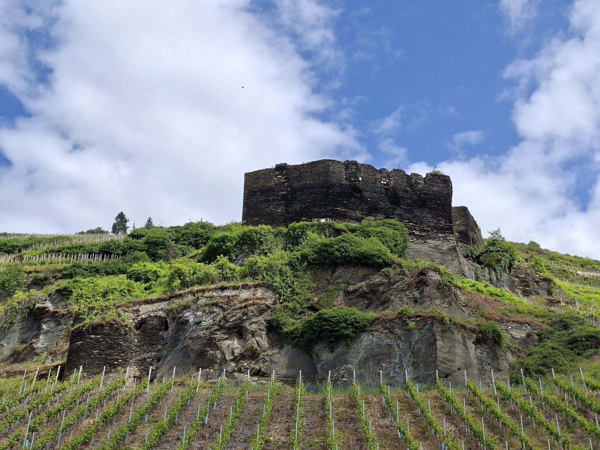
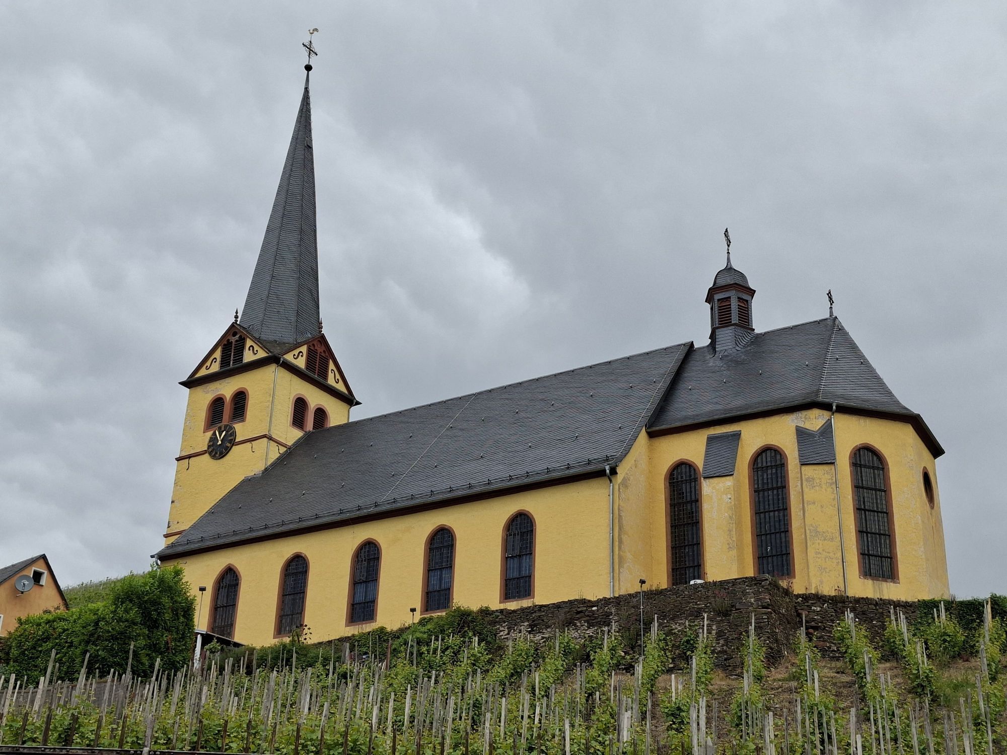
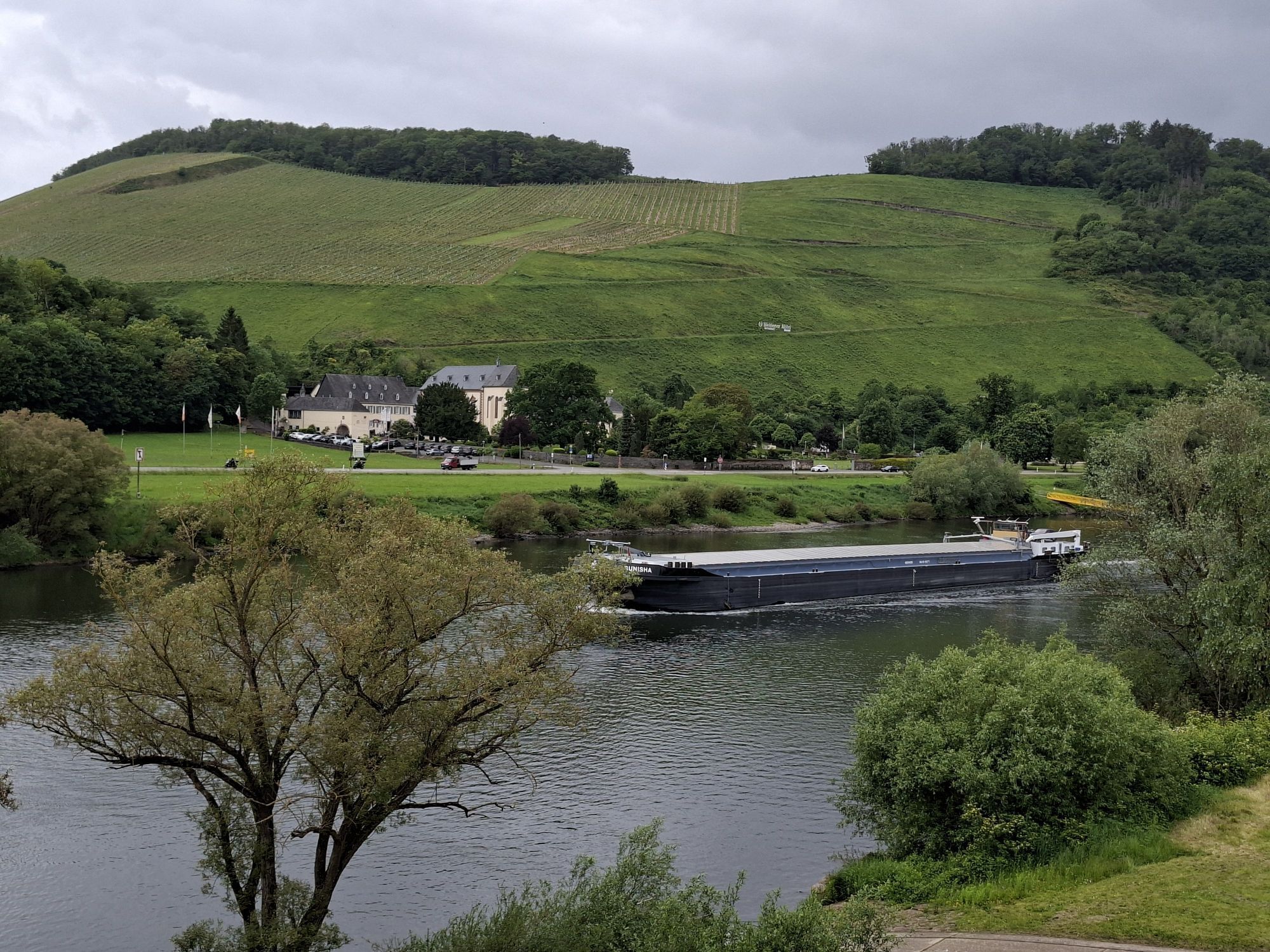
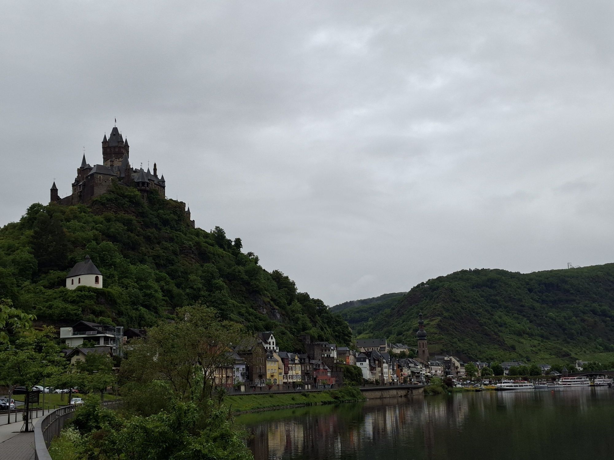
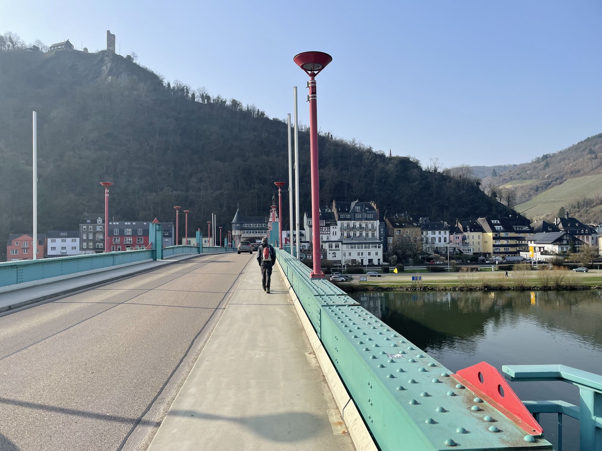
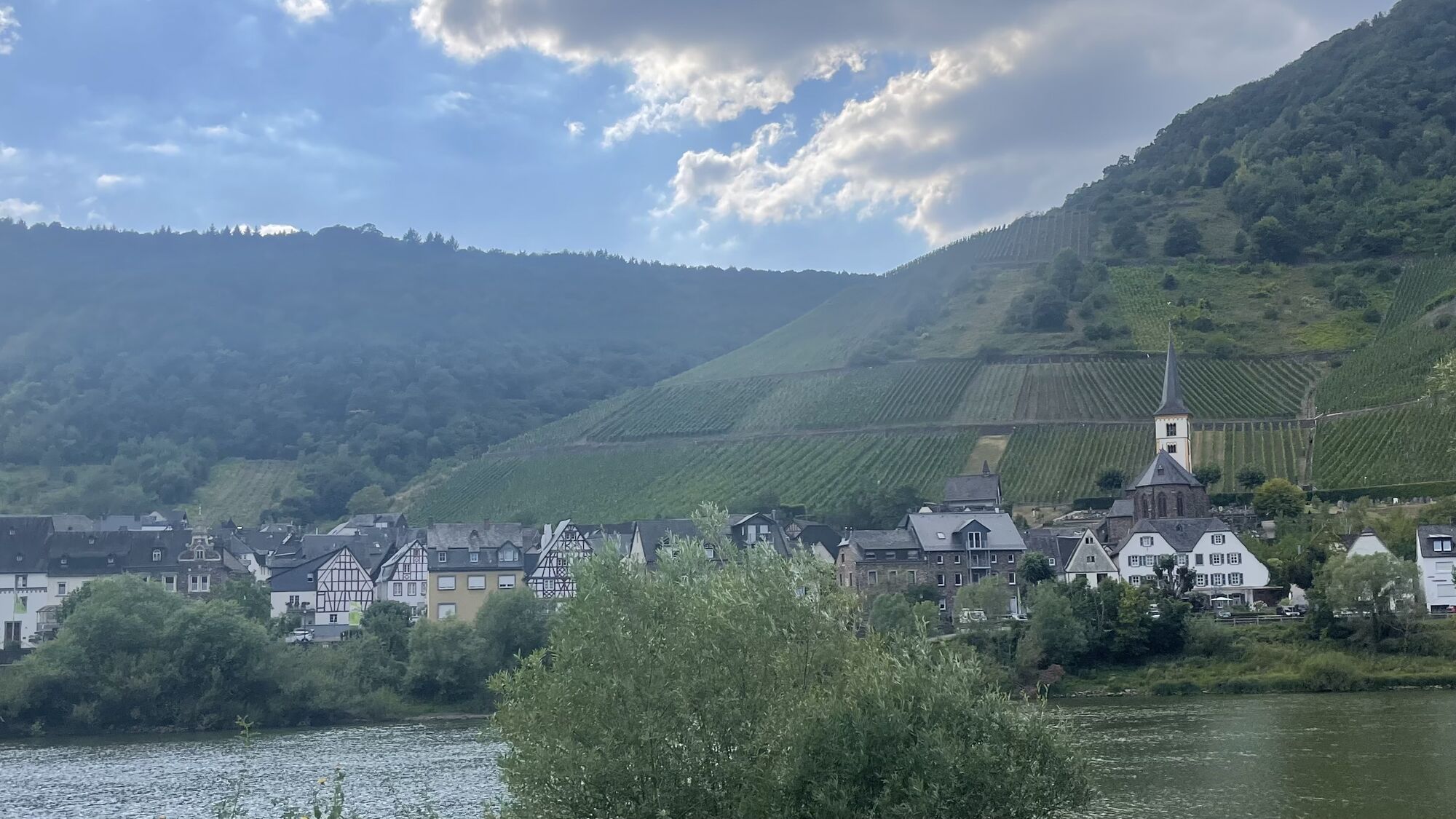
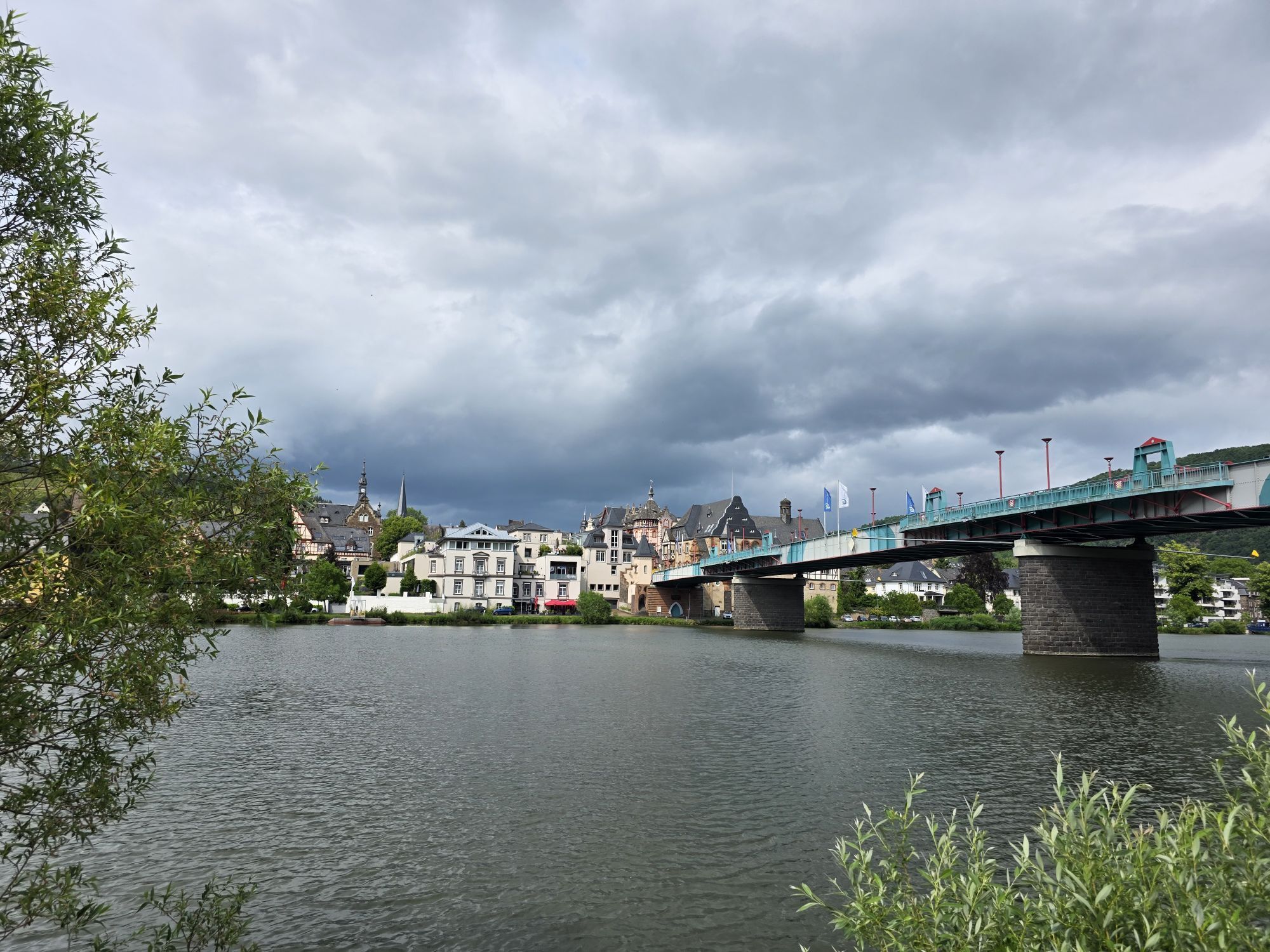
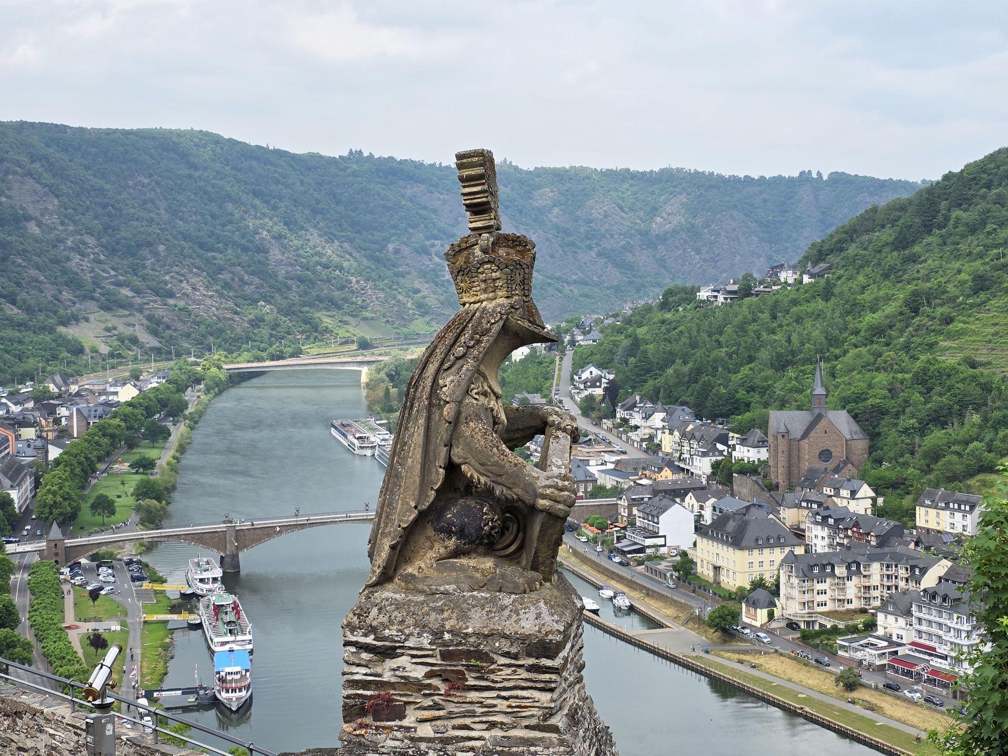
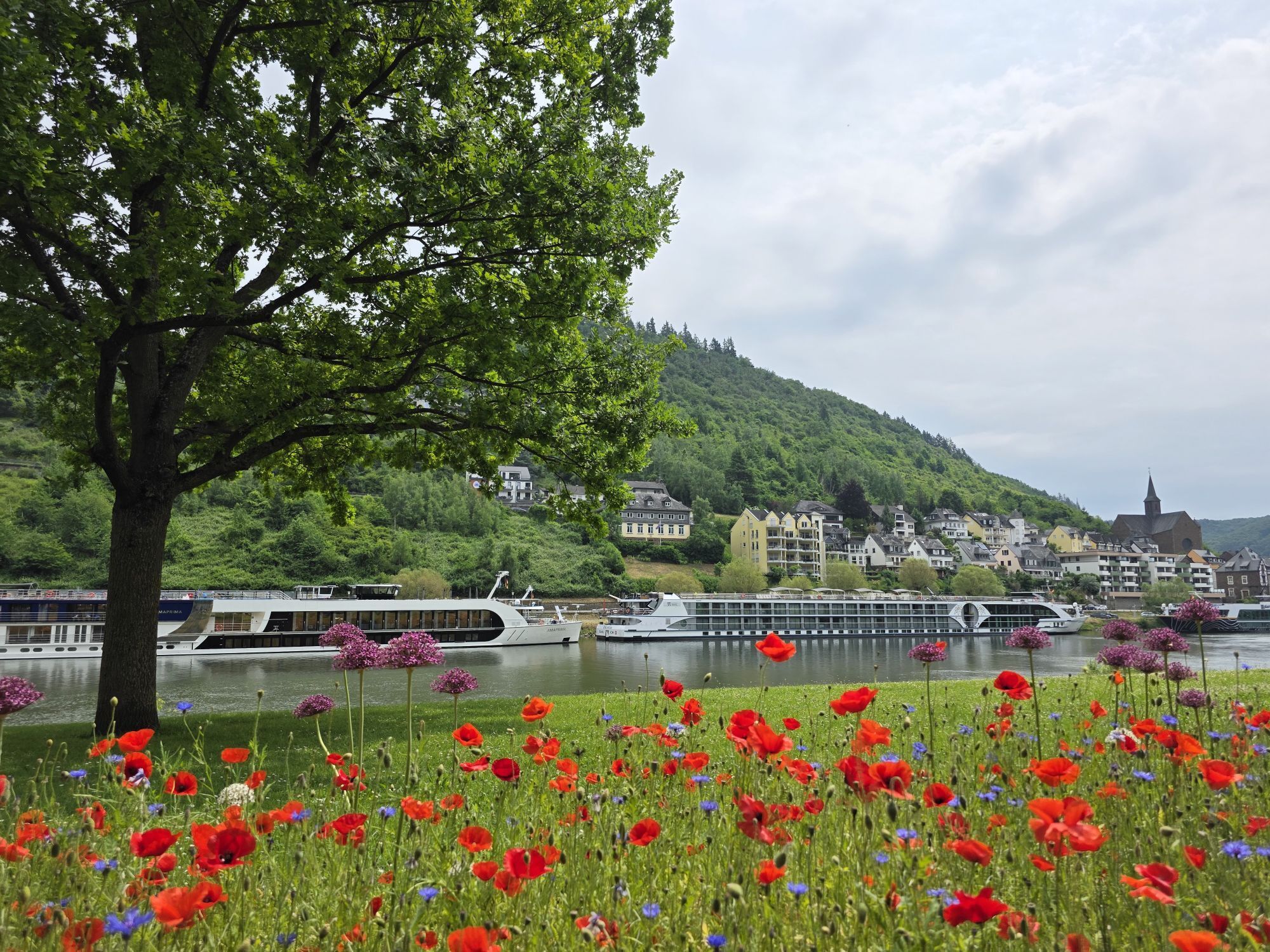
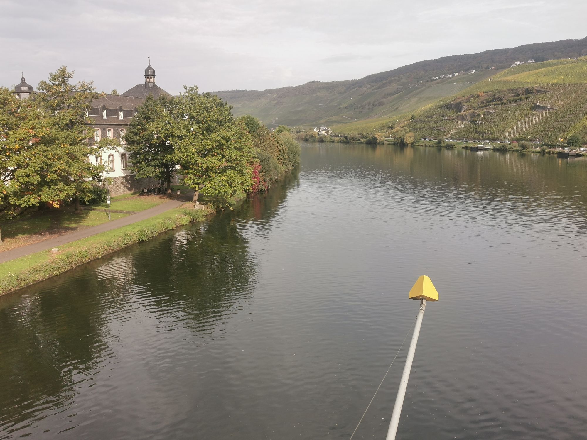
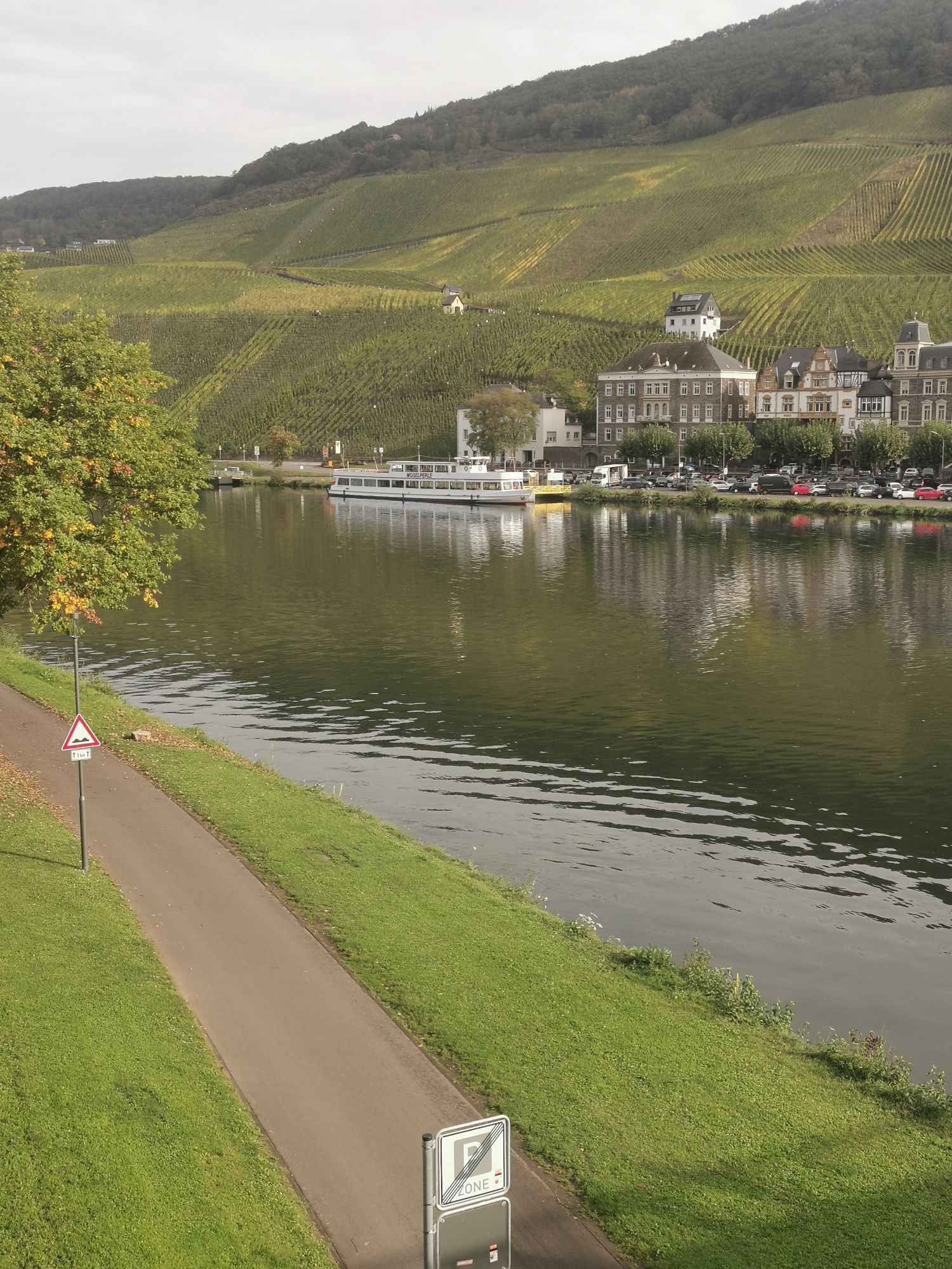
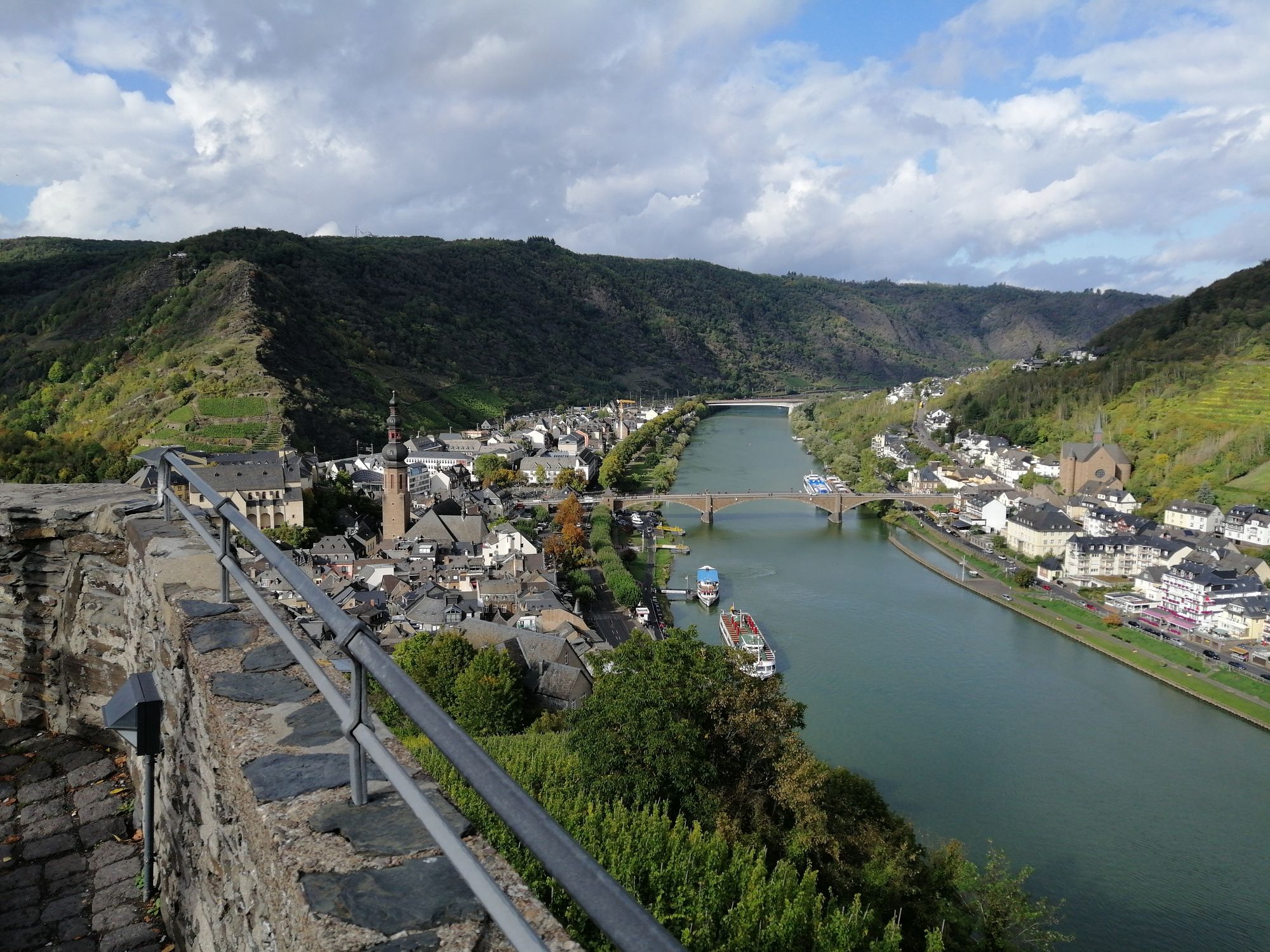
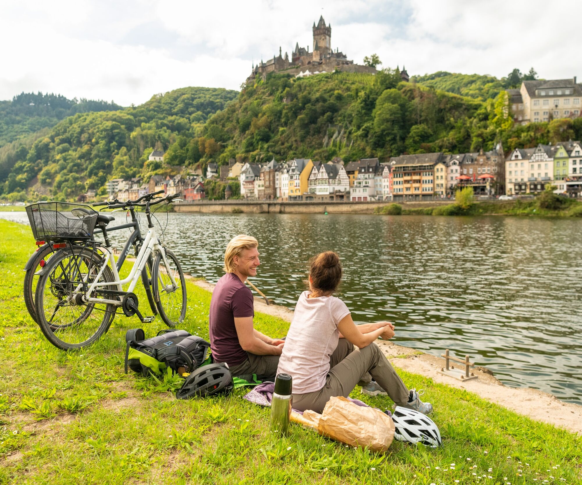
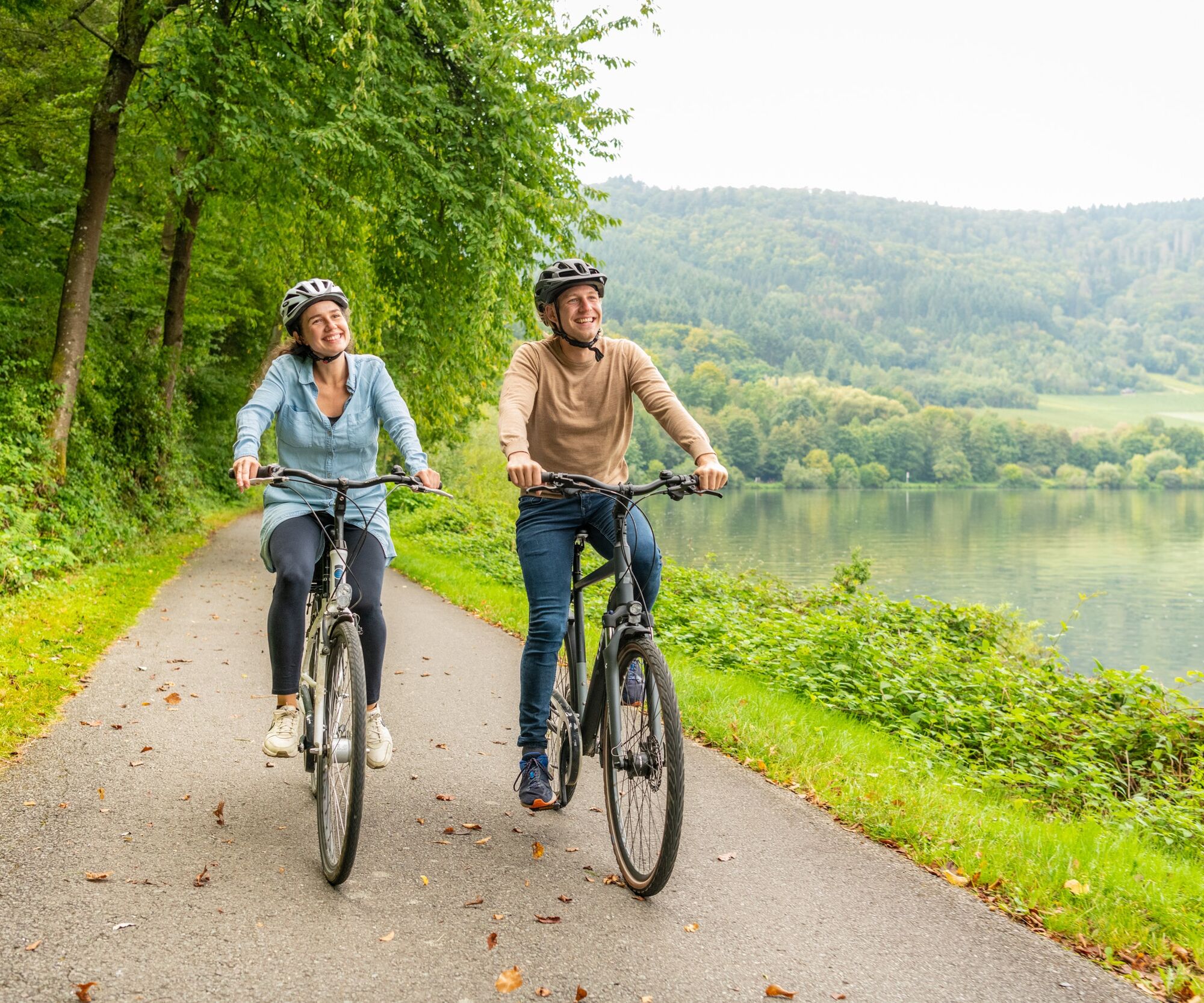
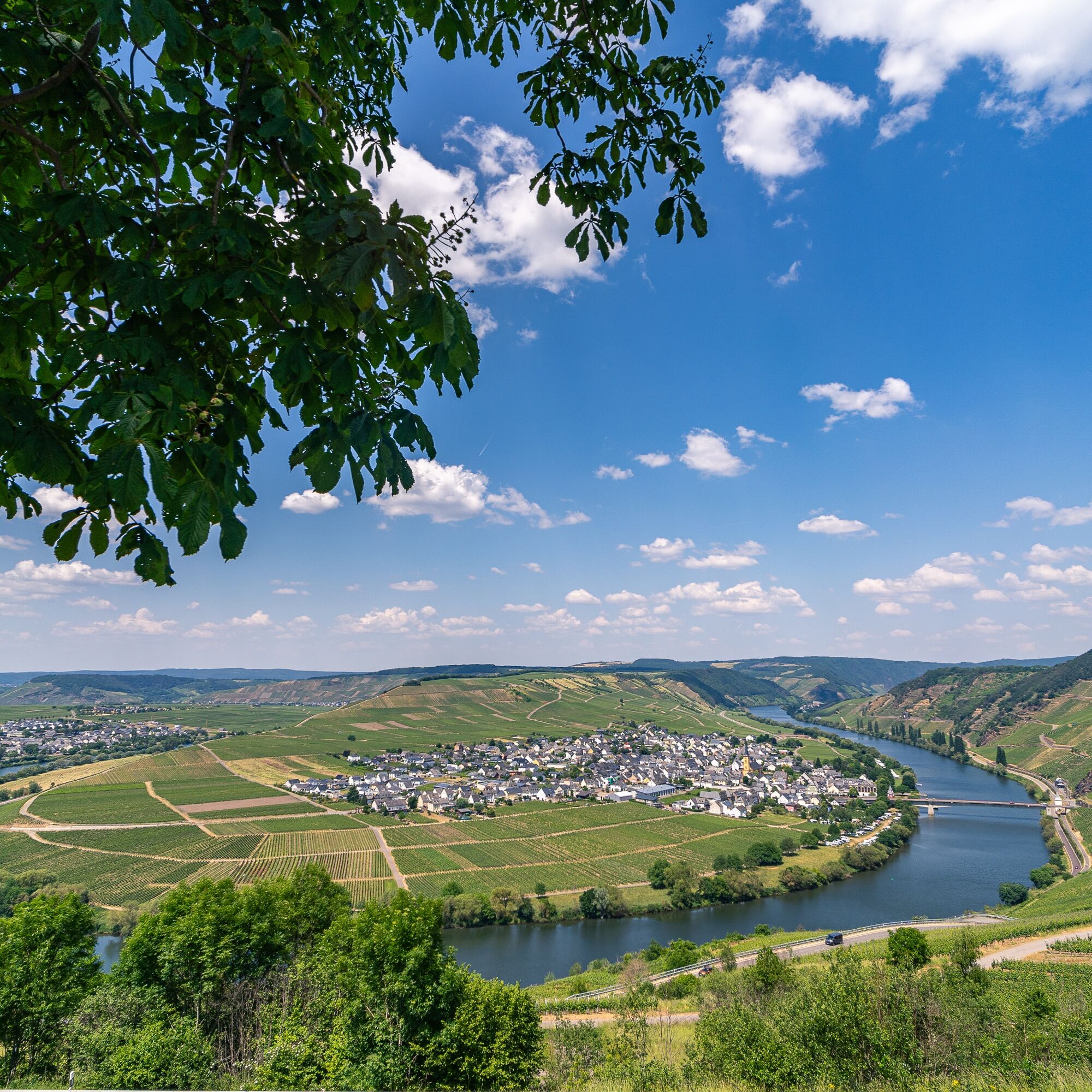
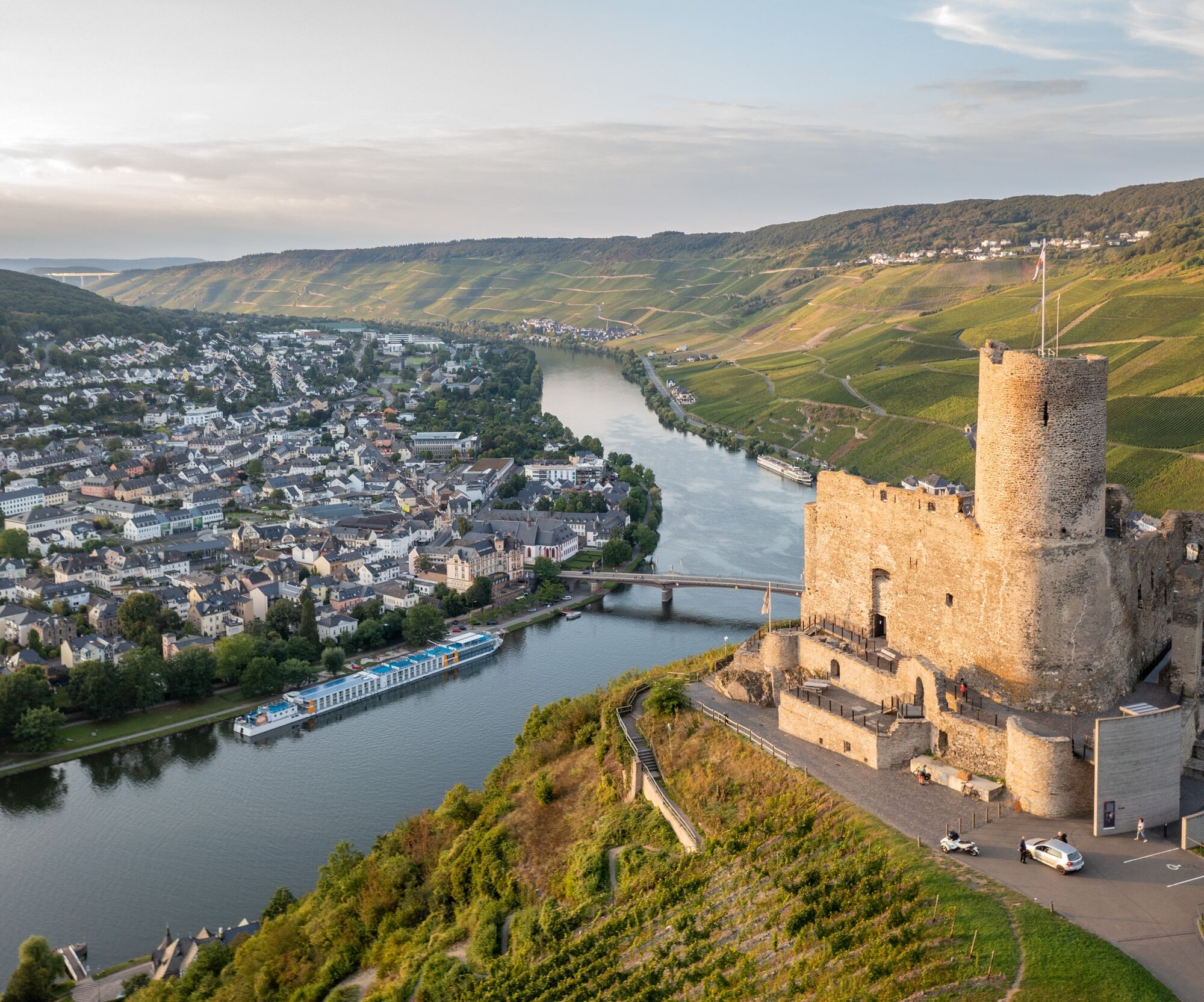
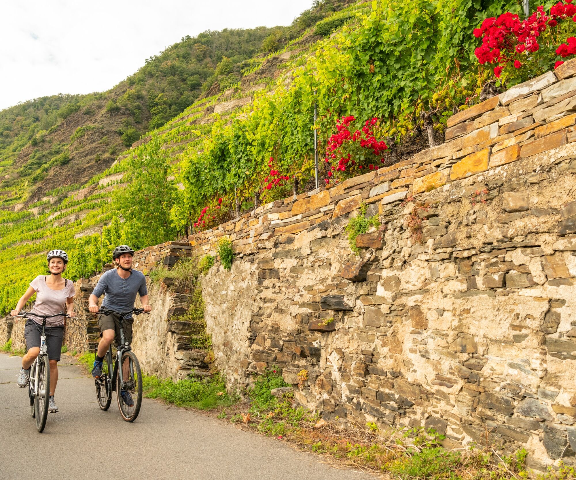
The Mosel cycle path is one of the most popular river cycle routes in Germany and follows the Mosel over 248 kilometers from the tri-border point in Perl to its mouth into the Rhine in Koblenz. The 4-star ADFC quality cycle route leads past countless wineries and world-famous vineyards, imposing rock formations, medieval wine villages, ancient sites, and impressive castles. No other German wine region offers such natural contrasts between breathtaking steep slopes and gentle river valleys while simultaneously providing a wealth of historical cultural monuments.
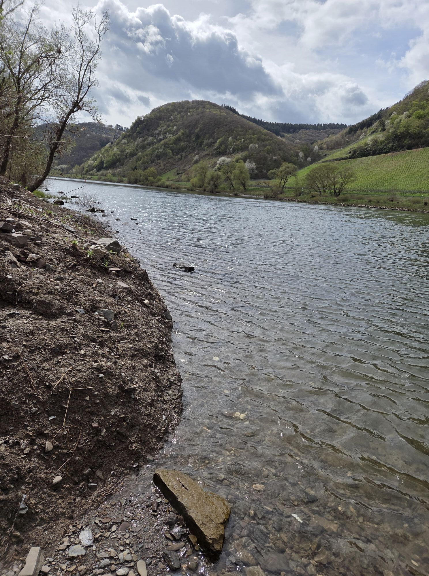
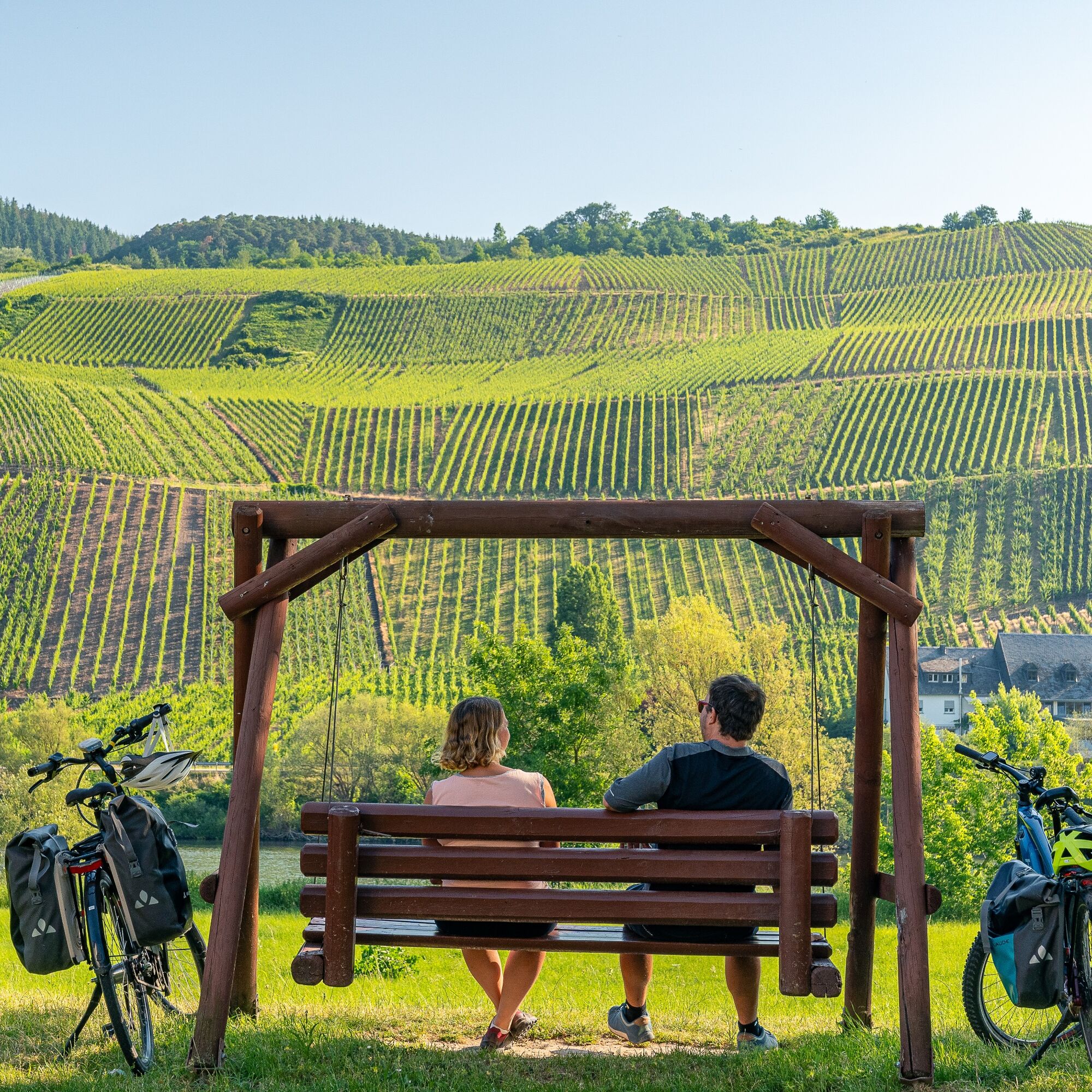
It's not athletic ambition that counts here, but enjoyment. On the Mosel cycle path, you encounter the steepest vineyards in Europe. However, those cycling on the Mosel cycle path do not have to conquer these slopes. The route primarily runs on paved and traffic-separated sections, mostly flat and without gradients, so that even leisure cyclists can easily tackle the route.
And what could be better than complementing active nature enjoyment with culinary delights? For hungry and thirsty cyclists, there are plenty of excellent opportunities right on the way to stop, indulge, and taste fine wines. Because a journey on the Mosel cycle path is always also a journey to the top wines of the region.
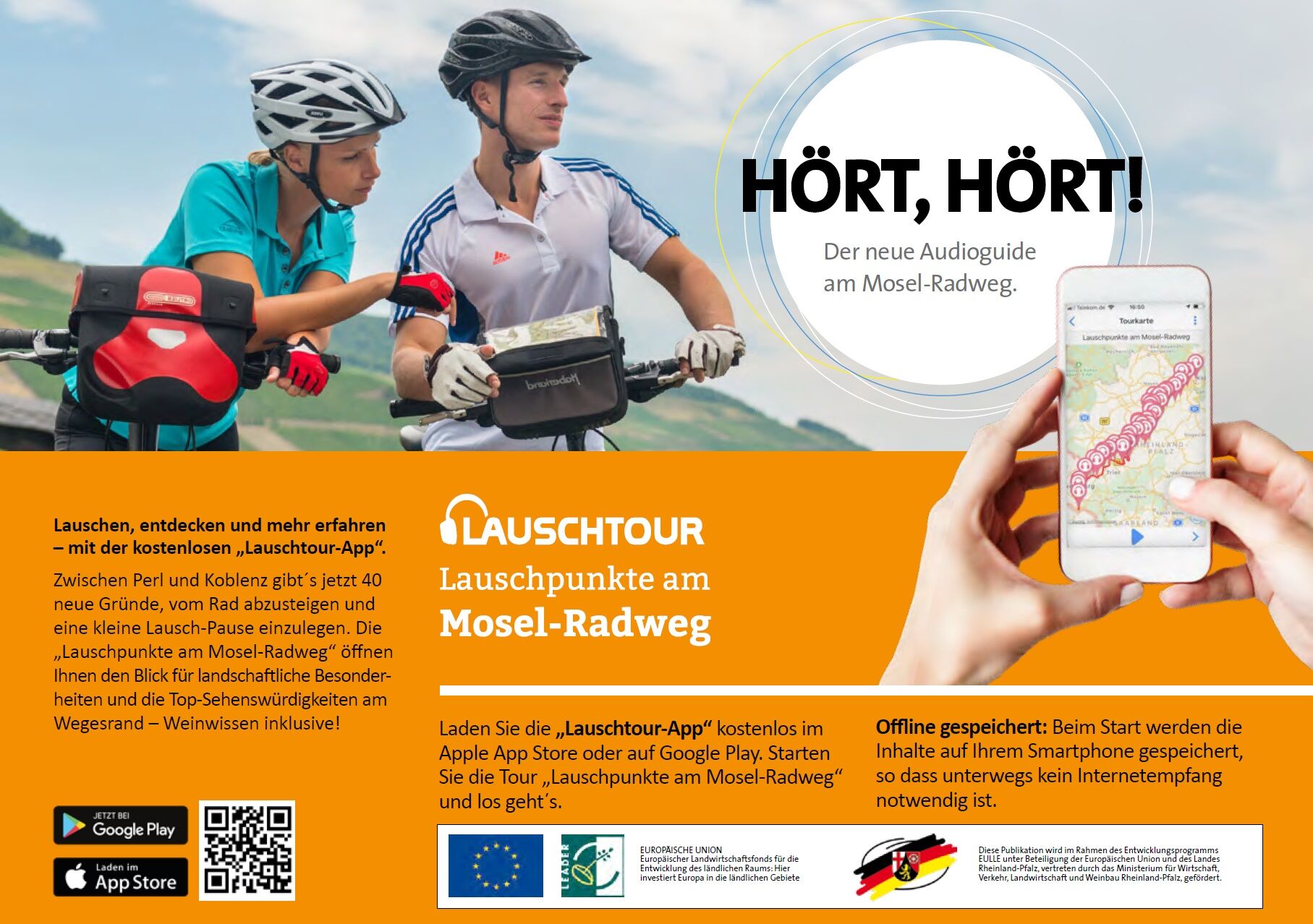
Tip: The new audio tour "Listening points on the Mosel cycle path"
Get to know the Mosel during a listening pause. 40 listening stations between Perl and Koblenz encourage a closer look and repeatedly draw attention to surprising discoveries along the route. The listening tour app can be downloaded free of charge from the Apple App Store or Google Play.

Route character: Mostly on dedicated paths or bike lanes. Without bike lanes, partly on quiet streets as well as urban streets with a sometimes high traffic volume. Mostly asphalt surfaces, short sections of concrete paving stones or concrete slabs.
Rail trail sections: Between Trier and Bullay, sections of the former "Mosel Railway" are used for several kilometers, but almost always in a hardly noticeable way, as the route is mostly dismantled or built over and did not require engineering structures. Sections:
approx. 6 km between Leiwen and Neumagen-Dhron approx. 2 km between Pünderich and Zell approx. 2 km between Andel and Bernkastel-KuesThe route in the bike network: The Mosel cycle path is one of 7 long-distance cycle routes in Rhineland-Palatinate and is part of route no. 5 "Saar-Mosel-Main" in the D network.
In the bike network, the Mosel cycle path is an important east-west connection, directly linked to many other regions:
Wasserbillig: Sauertal cycle path via Steinheim to Luxembourg/Echternach Konz: Saar cycle path to Saarbrücken Trier-Ehrang: Kylltal cycle path to Dahlem Trier-Ruwer: Ruwer-Hochwald cycle path to Hermeskeil Schweich: Wittlicher Senke cycle path to Wittlich Klüsserath: Salm cycle path to Dreis Neumagen-Dhron: Nahe-Hunsrück-Mosel cycle path via Morbach to Idar-Oberstein Bullay: Vulkan cycle route Eifel to Nürburgring Treis-Karden: Hunsrück-Mosel cycle path to Kastellaun Burgen: Schinderhannes-Untermosel cycle path to Kastellaun and Hahn airport Hatzenport: Maifeld cycle touring path to Mayen Koblenz: Rhine cycle path to Mainz/Basel and Cologne/RotterdamSource and further information: www.radwanderland.de
Tak
A smartphone to use the audio tour "Listening points on the Mosel cycle path": Get to know the Mosel during a listening pause. 40 listening stations between Perl and Koblenz encourage a closer look and repeatedly draw attention to surprising discoveries along the way. The listening tour app can be downloaded free of charge from the Apple App Store or Google Play.
Don't forget the cycling tour book and a camera for snapshots.
A list of currently closed route sections and detours, e.g., due to construction sites, can be found at www.radwanderland.de.
By train to Perl (start of the Mosel cycle path in the immediate vicinity of the station).
Departure by train from Koblenz (station about 2.5 km from the Mosel cycle path, but well signposted and easy to cycle).
Bike & train
Regular connection with Inter-City and regional trains on the route Koblenz - Cochem - Bullay (connection to Traben-Trarbach via the Mosel wine railway) - Wittlich - Trier. Via Trier main station, the connection leads to the places of the upper Mosel up to Perl or to Luxembourg as well as to the places on the right side of the Saar up to Saarbrücken.
Bicycle transport is possible free of charge on local trains in Rhineland-Palatinate and Saarland within the existing seat capacity from Monday to Friday from 9 am and all day on weekends and public holidays. On long-distance trains, you can take your bike for an extra charge, with a seat reservation required. Further information: www.bahn.de
Bike & bus
From April to the end of October, so-called bike buses run, special bus lines with bicycle transport.
More information, timetables, and seat reservations at www.radbusse.de
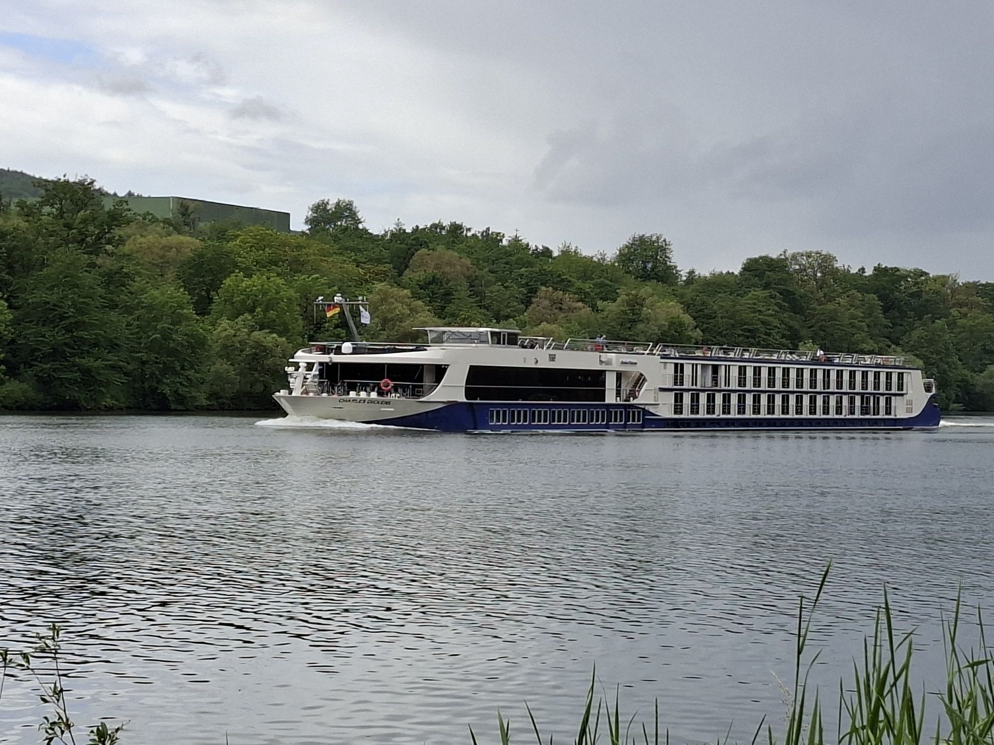
Bike & ship
From mid-April to October, numerous passenger ships operate daily on the Mosel, which you can use for a round trip or continuation with the bike. Almost every place has a ship landing stage. The exact departure times are posted on notice boards of the shipping companies on site. In addition, a total of seven ferries are available to cross to the other side of the river by bike.
To cycle the entire Mosel cycle path, parking lots in Trier or Koblenz are recommended. Then travel by train to the starting point. Those who park in Trier return by train from Koblenz at the end of the tour.
Further information and advice on suitable parking: Mosellandtouristik GmbH, phone: 06531/97330; info@mosellandtouristik.de
2
Mosellandtouristik GmbH
Kordelweg 1
54470 Bernkastel-Kues
Phone: 06531/97330
info@mosellandtouristik.de
www.visitmosel.de
We are happy to receive your rating of the route on Outdooractive. This gives us valuable feedback and helps other guests plan their trips. Thank you!
Suggestions, peculiarities, or defects? Please feel free to report them by mail to: radwege@lbm.rlp.de
Stop by one of the many rustic seasonal wine taverns and come into conversation with our winegrowers.
Kamery internetowe z trasy
Popularne wycieczki w okolicy
- 5,0
Moselsteig Stage 11: Bernkastel-Kues - Ürzig
średnidługodystansowy szlak pieszy 17,1 km - 4,2
Moselsteig stage 14: Reil – Zell (Mosel)
światłodługodystansowy szlak pieszy 12,4 km - 5,0
Moselsteig Detour Graf Georg Johannes route
średniWędrówka 14,1 km - 4,7
Star route around Bernkastel-Kues - Route 2: Circular route on the Mosel Cycle Route via Trittenheim to Bernkastel-Kues
światłoJazda na rowerze 57,0 km Moselsteig (entire route). Your way to experience more.
średnidługodystansowy szlak pieszy 348,8 km- 4,0
Moselsteig side route Leiermannspfad
średniWędrówka 10,9 km - 4,5
Moselsteig stage 12: Ürzig – Traben-Trarbach
średnidługodystansowy szlak pieszy 15,1 km - 5,0
Moselsteig stage 13: Traben-Trarbach – Reil
średnidługodystansowy szlak pieszy 15,3 km - 5,0
Traben-Trarbach - Bernkastel en terug
średniWędrówka 17,2 km Moselsteig detour Moseltalschanzen
ciężkiWędrówka 16,2 km
Wędrówki i tropienie


Nie przegap ofert i inspiracji na następne wakacje
Twój adres e-mail została dodana do listy mailingowej.