






Moselsteig stage 15: Zell (Mosel) – Neef

The silence, as only a forest can offer – here it becomes a constant companion. Over almost 20 kilometers, the forest repeatedly offers the opportunity to relax and enjoy the peaceful quiet. But there...
The silence, as only a forest can offer – here it becomes a constant companion. Over almost 20 kilometers, the forest repeatedly offers the opportunity to relax and enjoy the peaceful quiet. But there is also excitement: after the steep ascent to the Collis tower with its breathtaking panorama over Zell, the path leads through wide forests and vineyards. You can also enjoy the view back – for example, of previous sections of the Moselsteig, such as the Marienburg, the Prinzenkopf, and the Arras castle. The stage destination Neef surprises with a culinary specialty: the red vineyard peach, which can be enjoyed in many forms – whether as fruit, delicious jam, or delicate liqueur. The Romans cultivated the peaches here long ago, as they thrive wonderfully thanks to the warm climate.

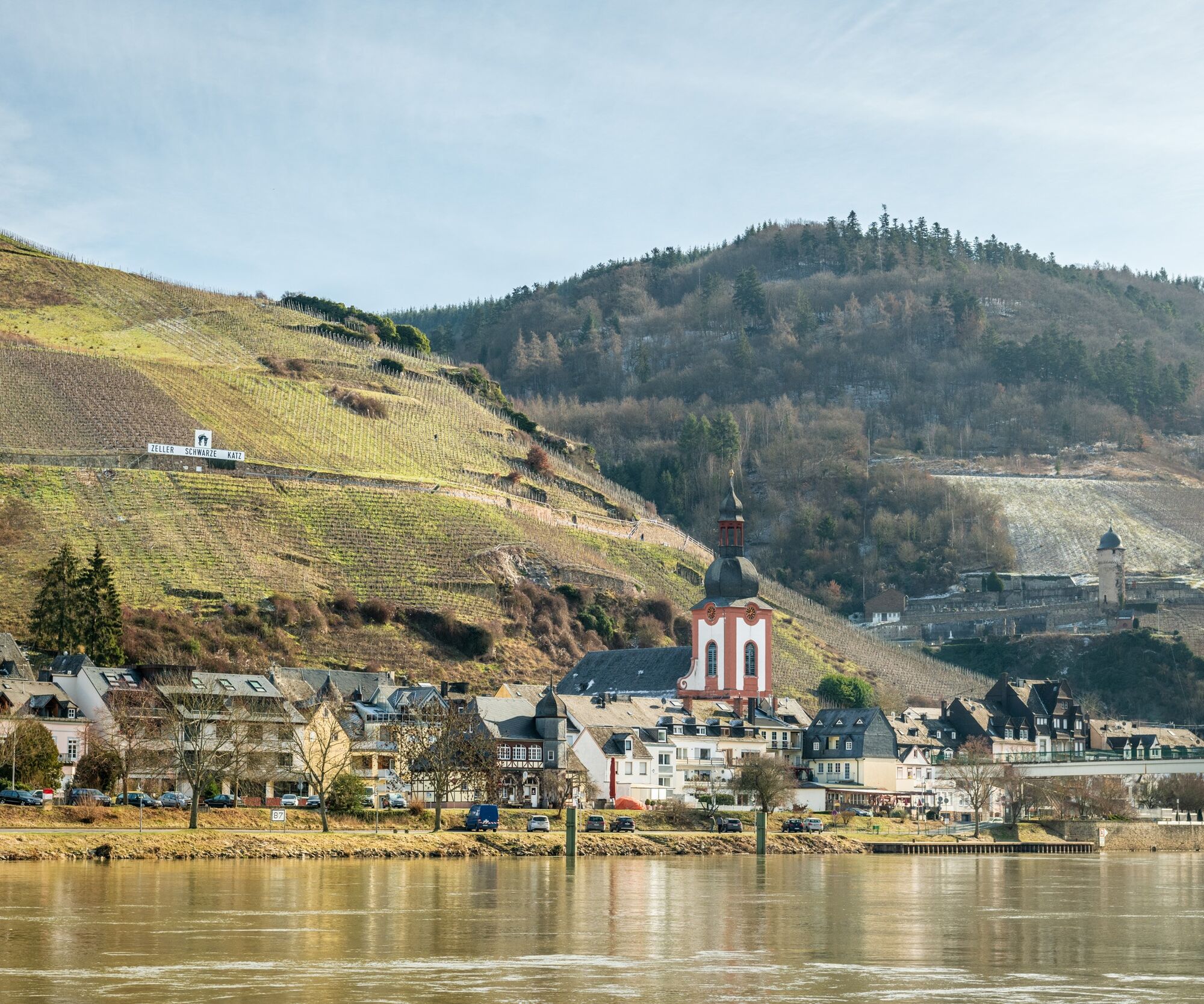
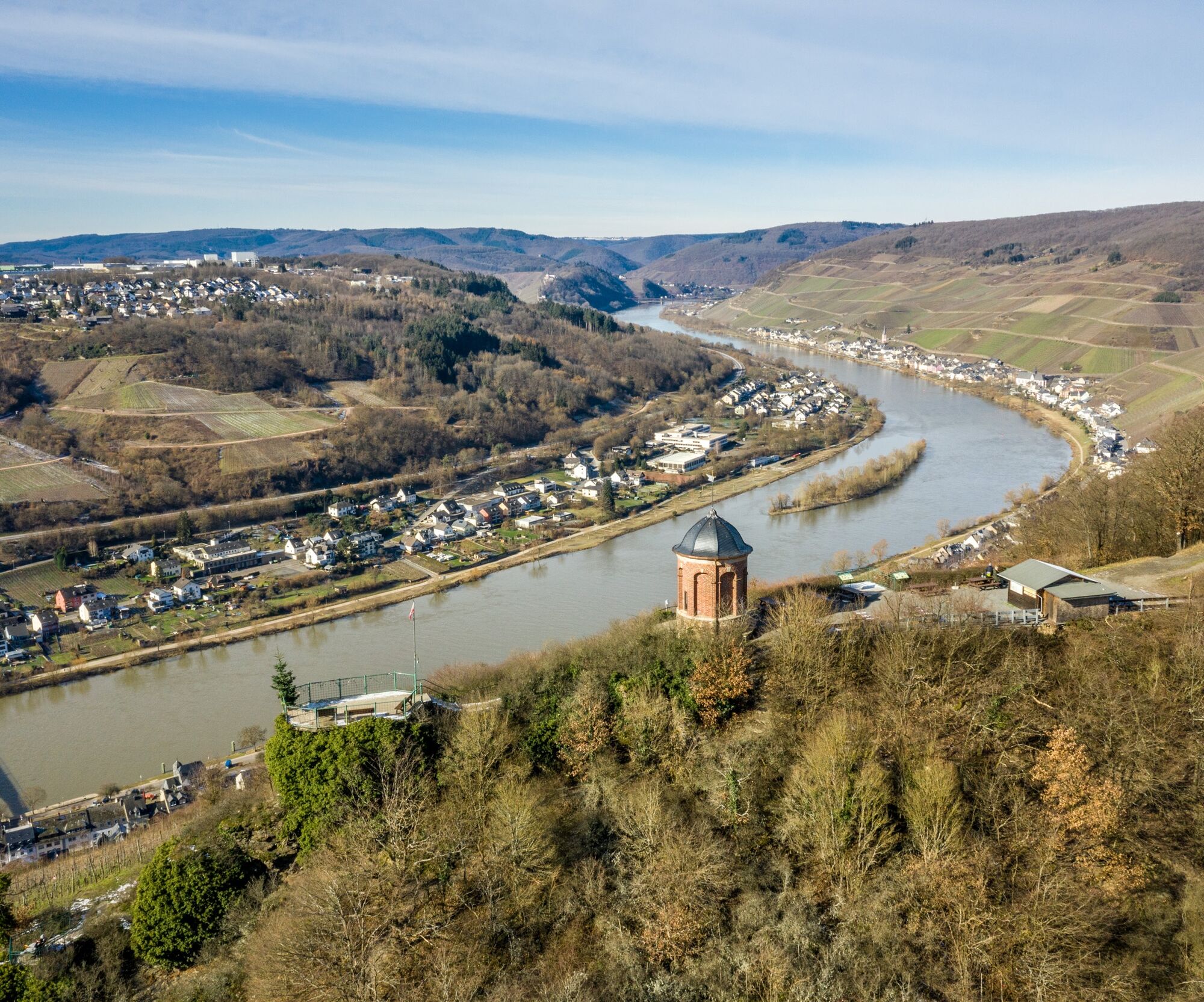
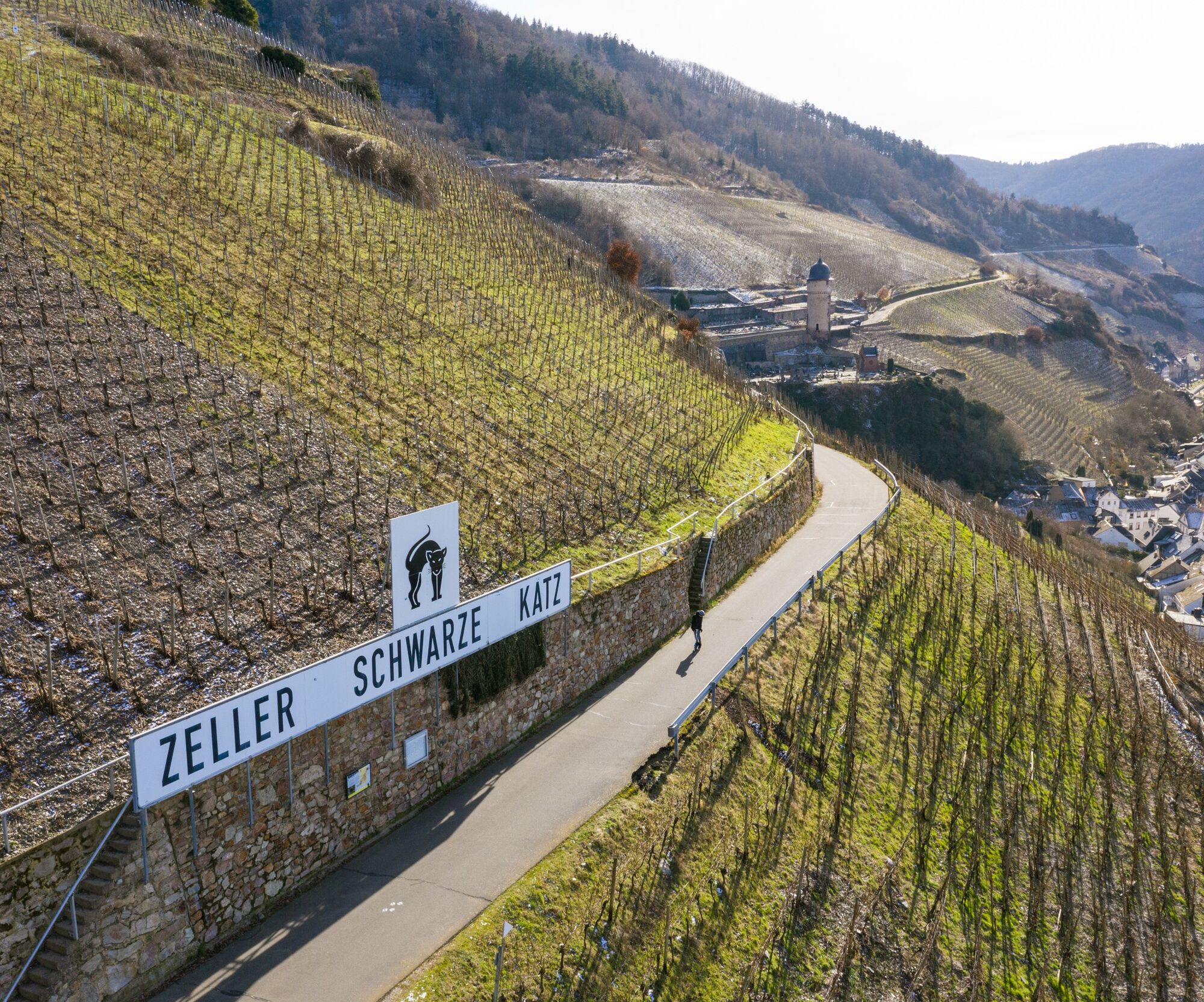
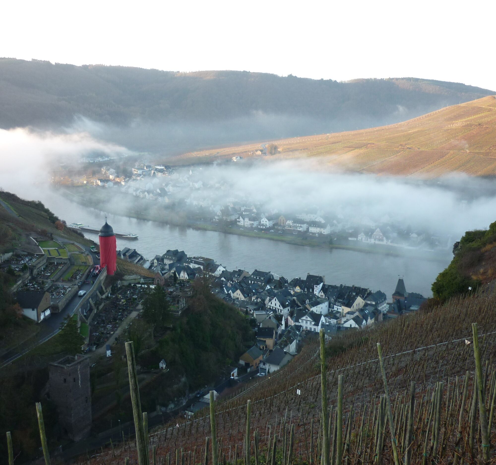
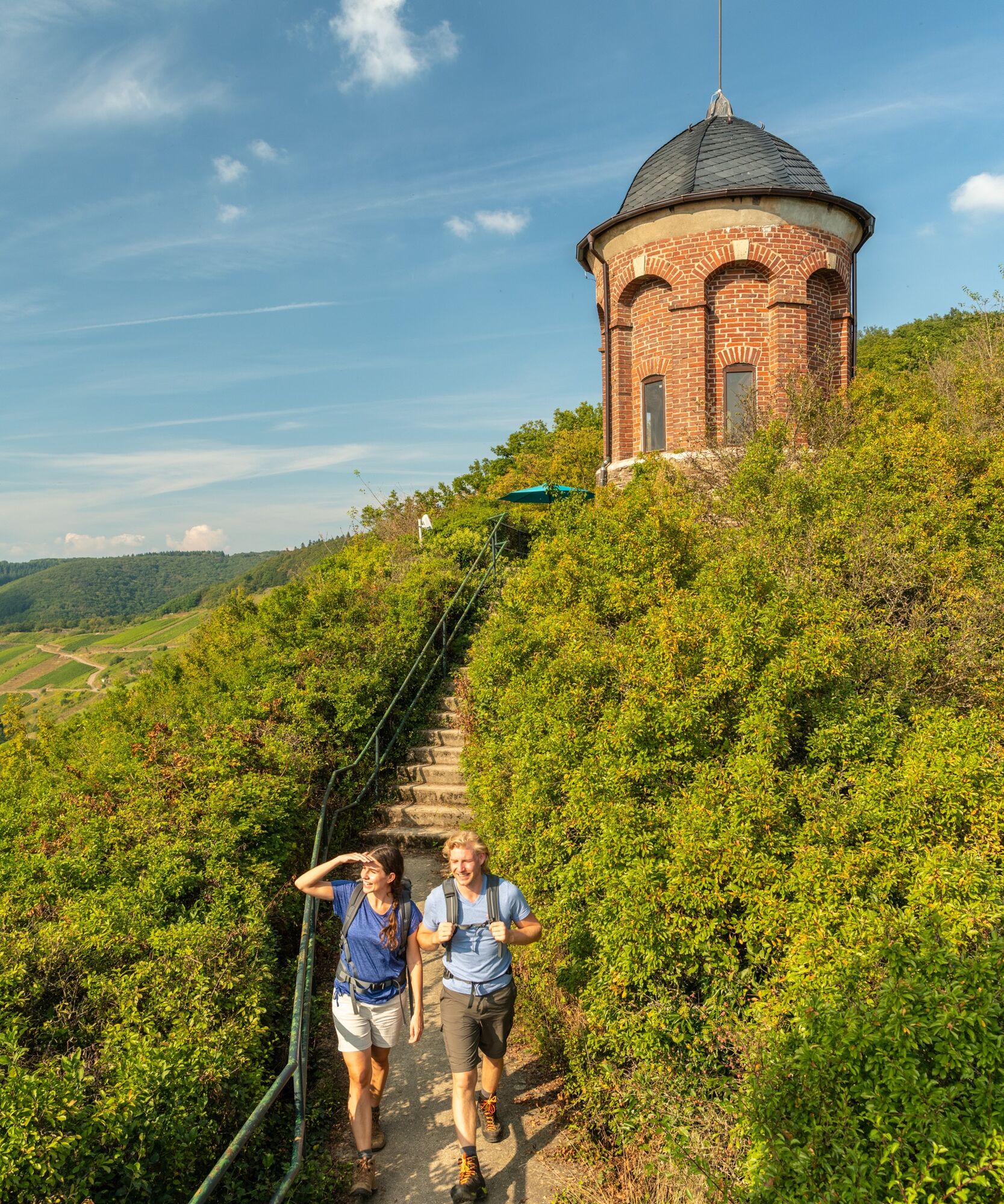
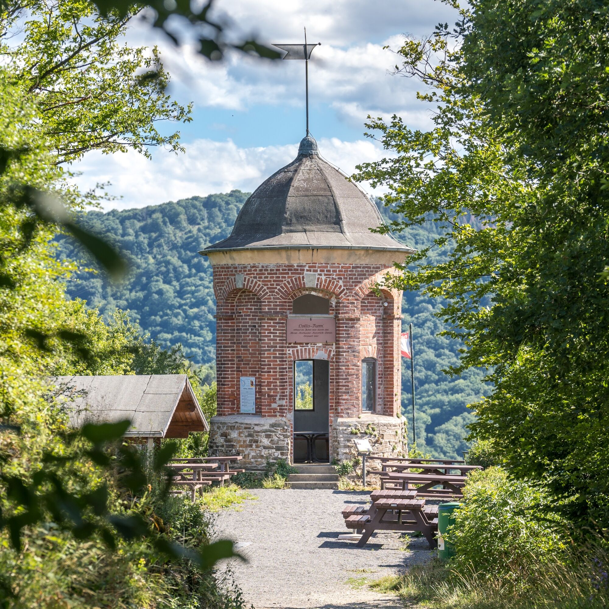
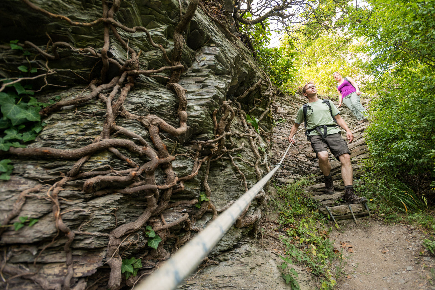
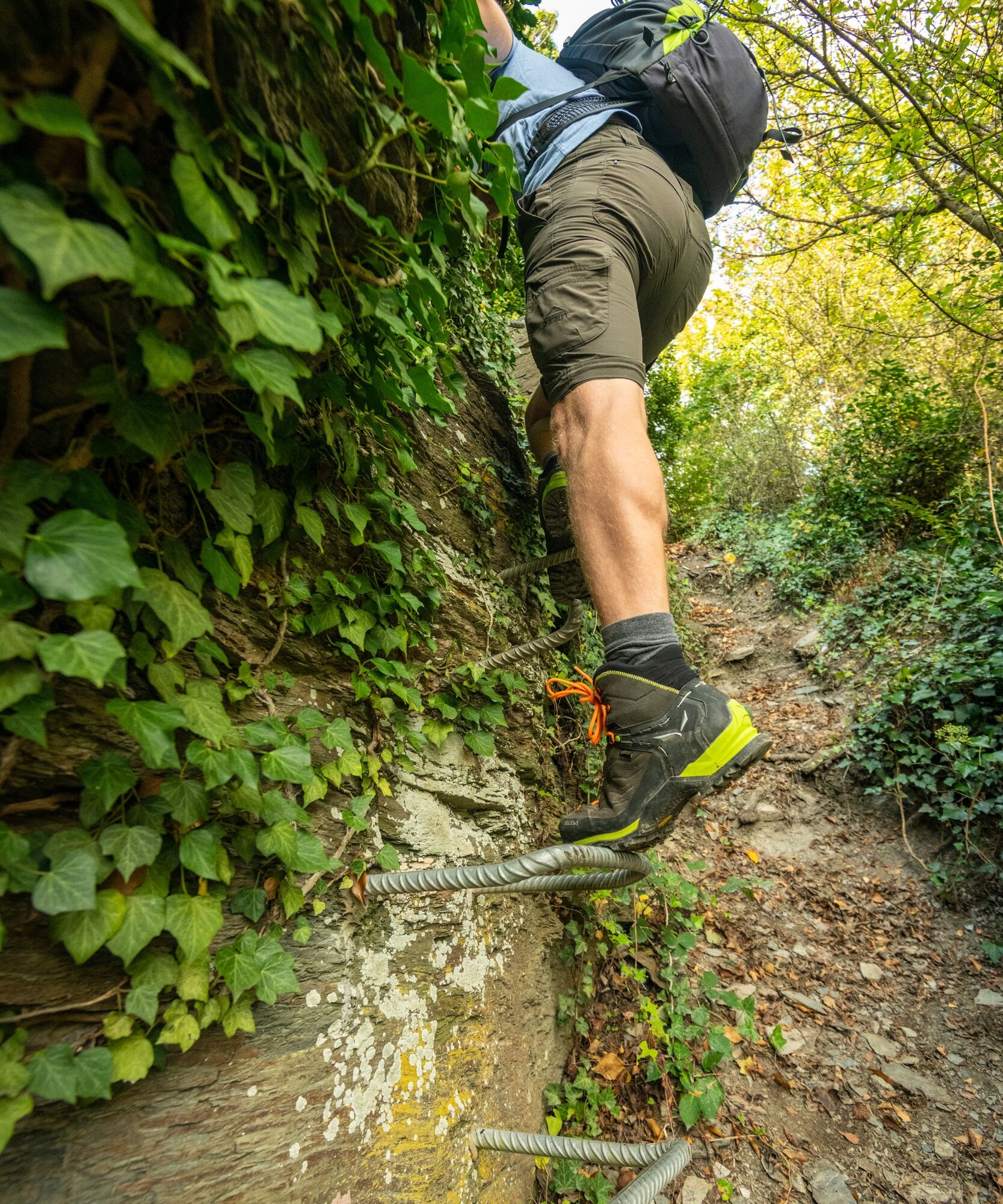
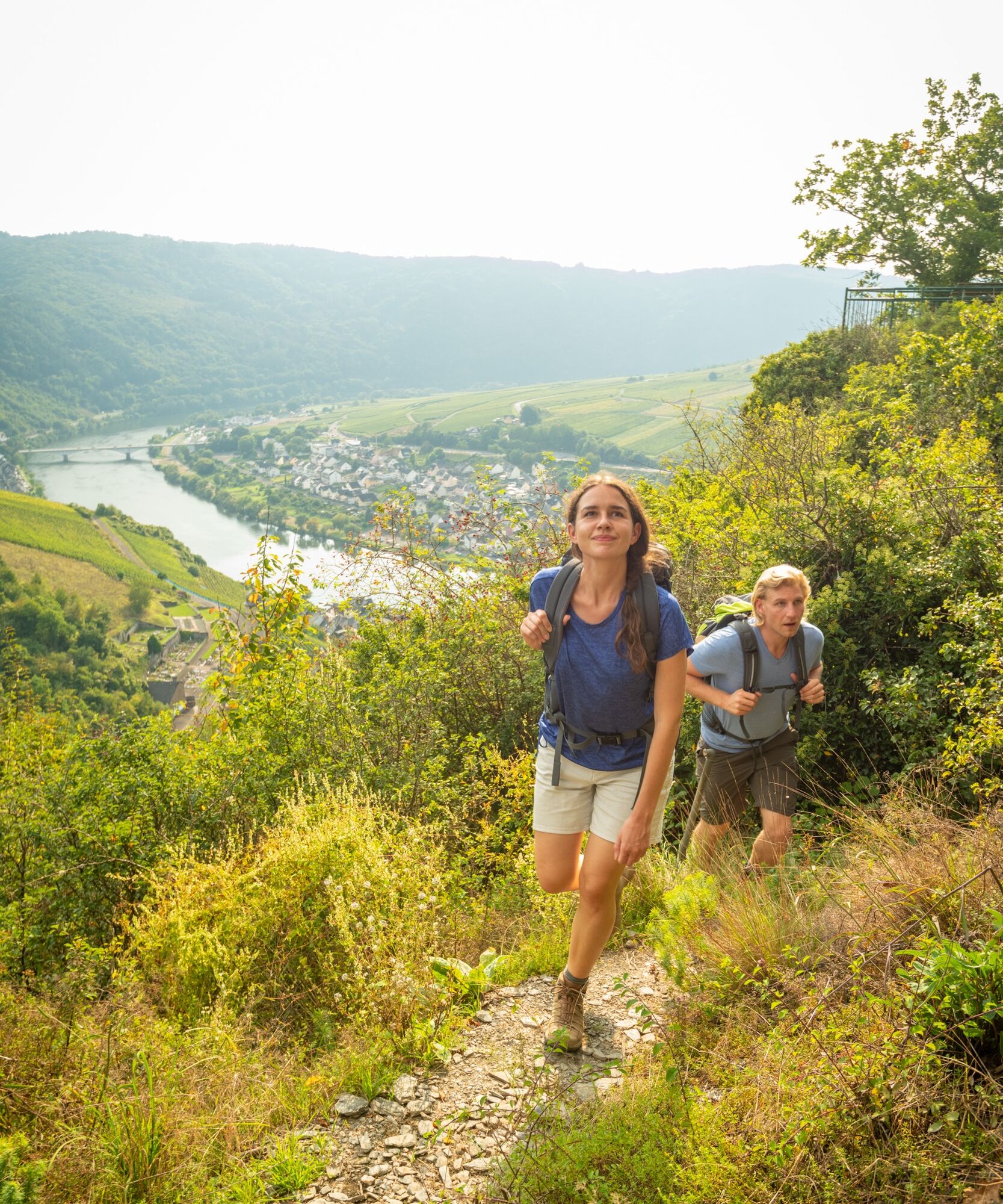
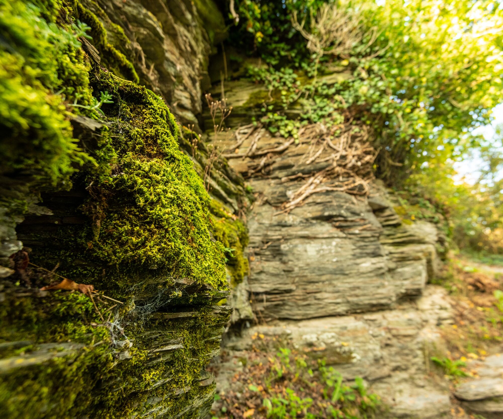
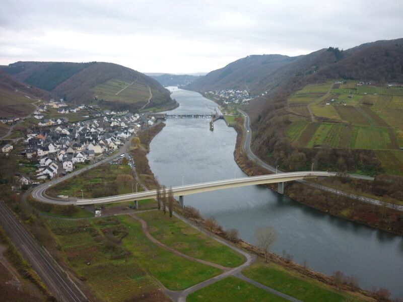
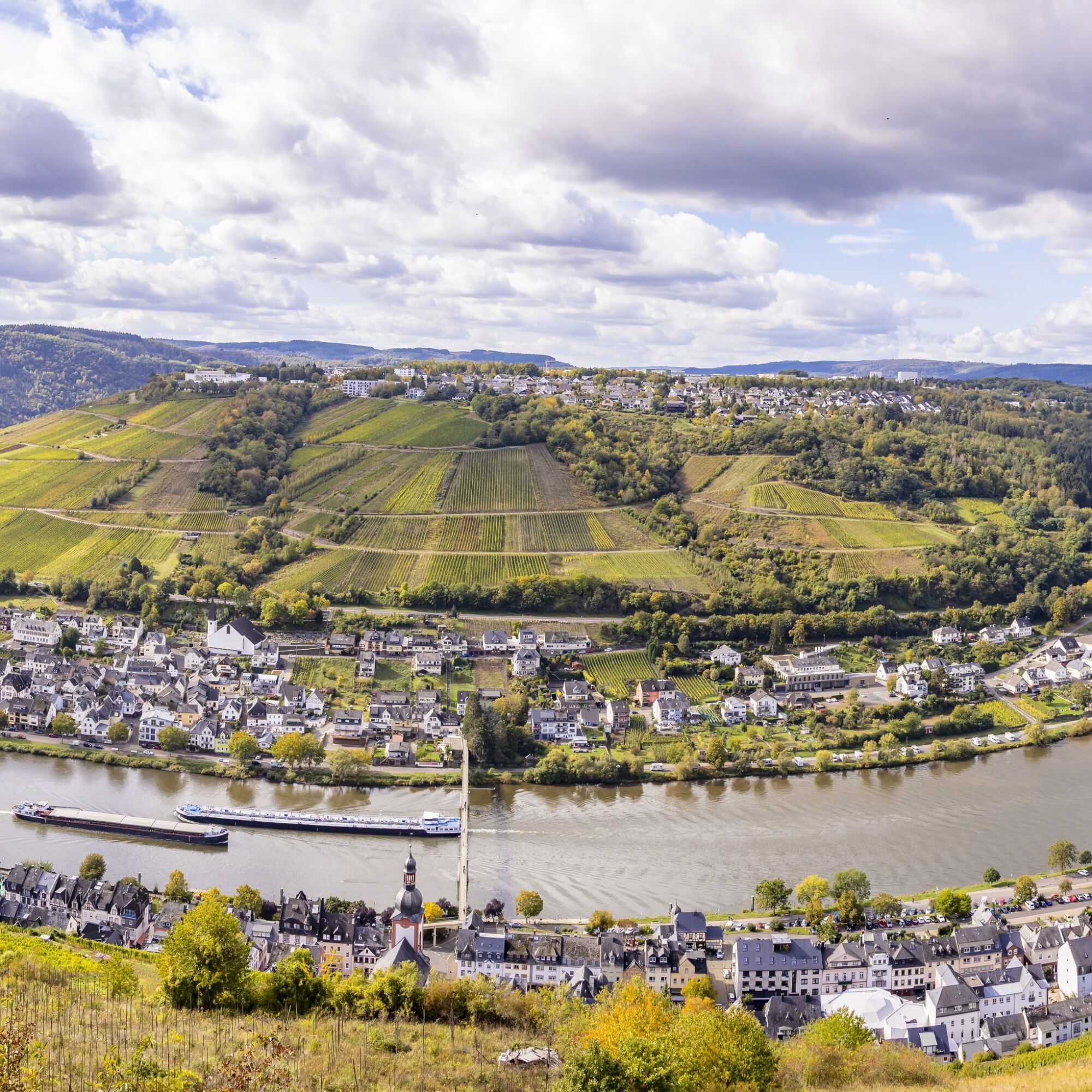
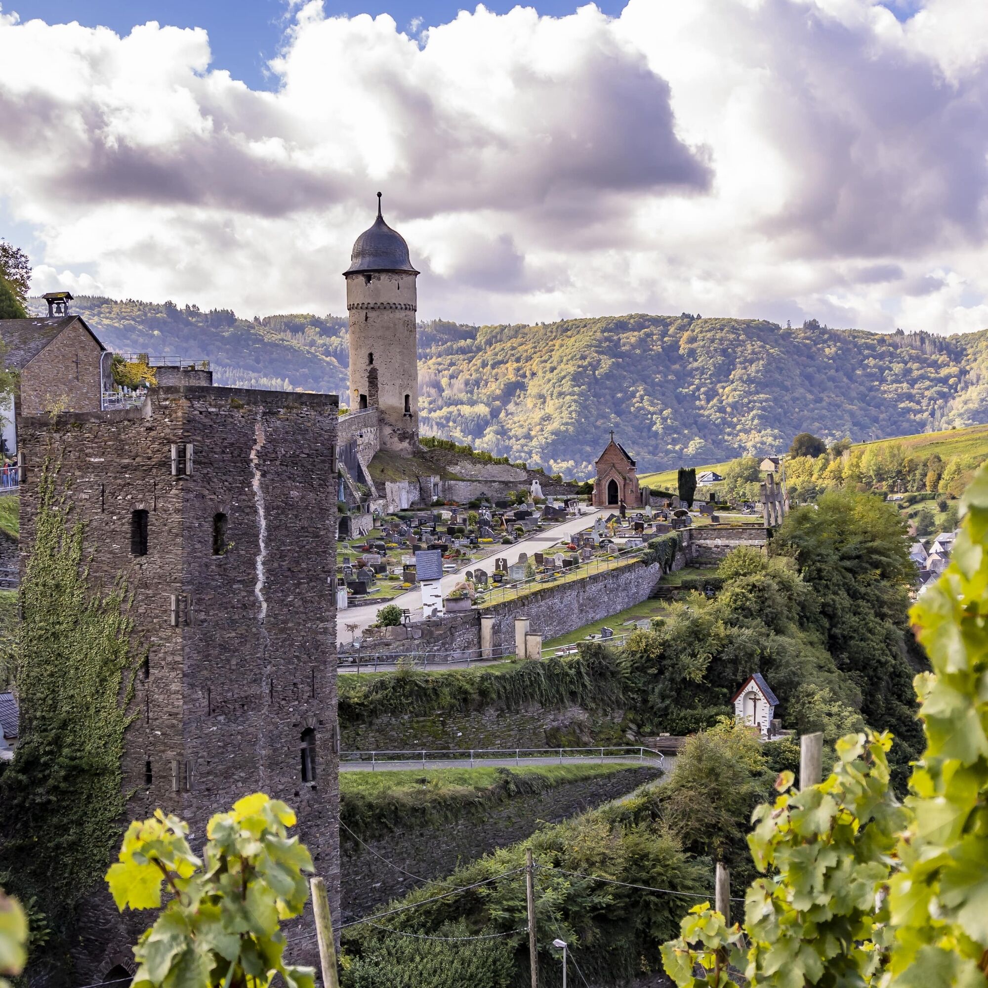

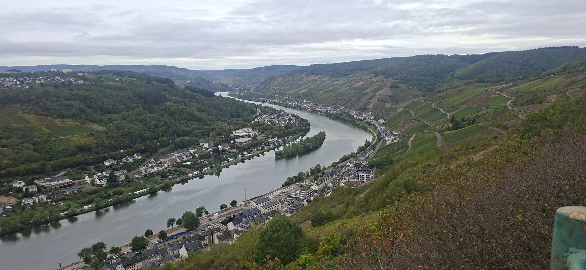
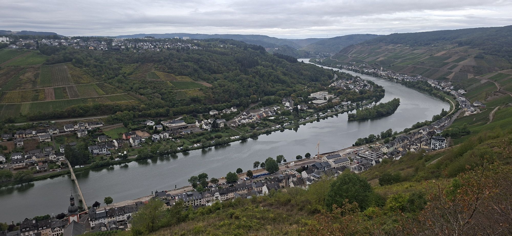
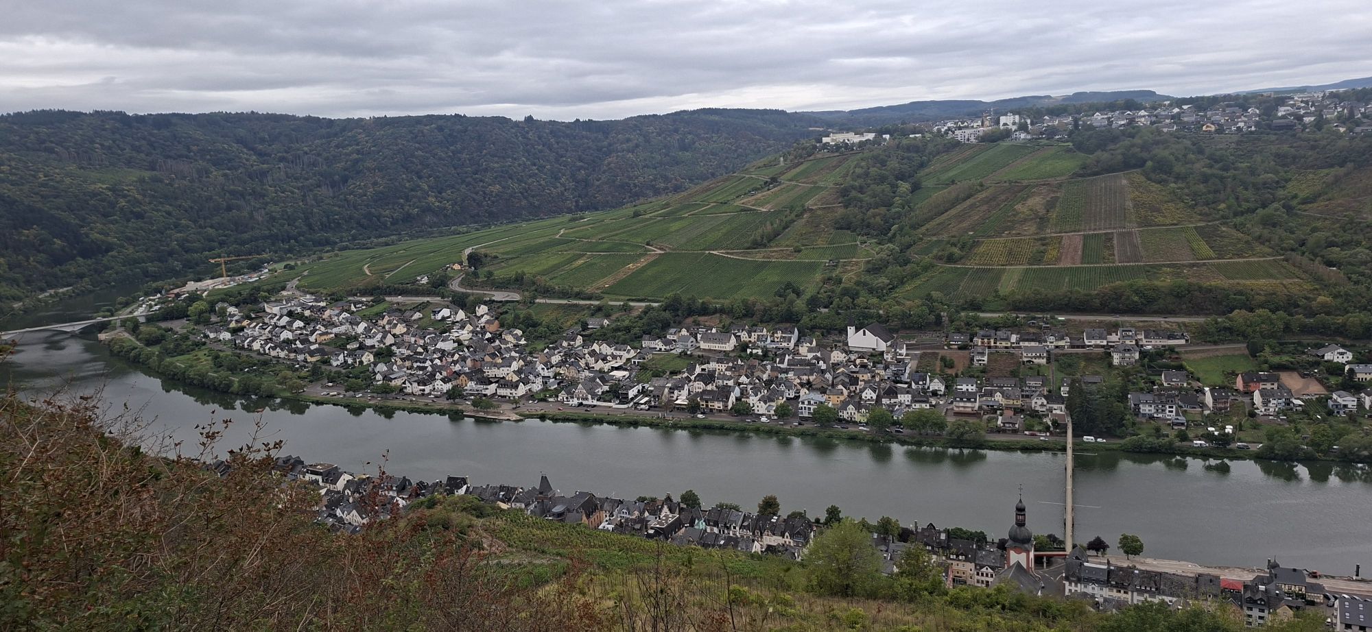
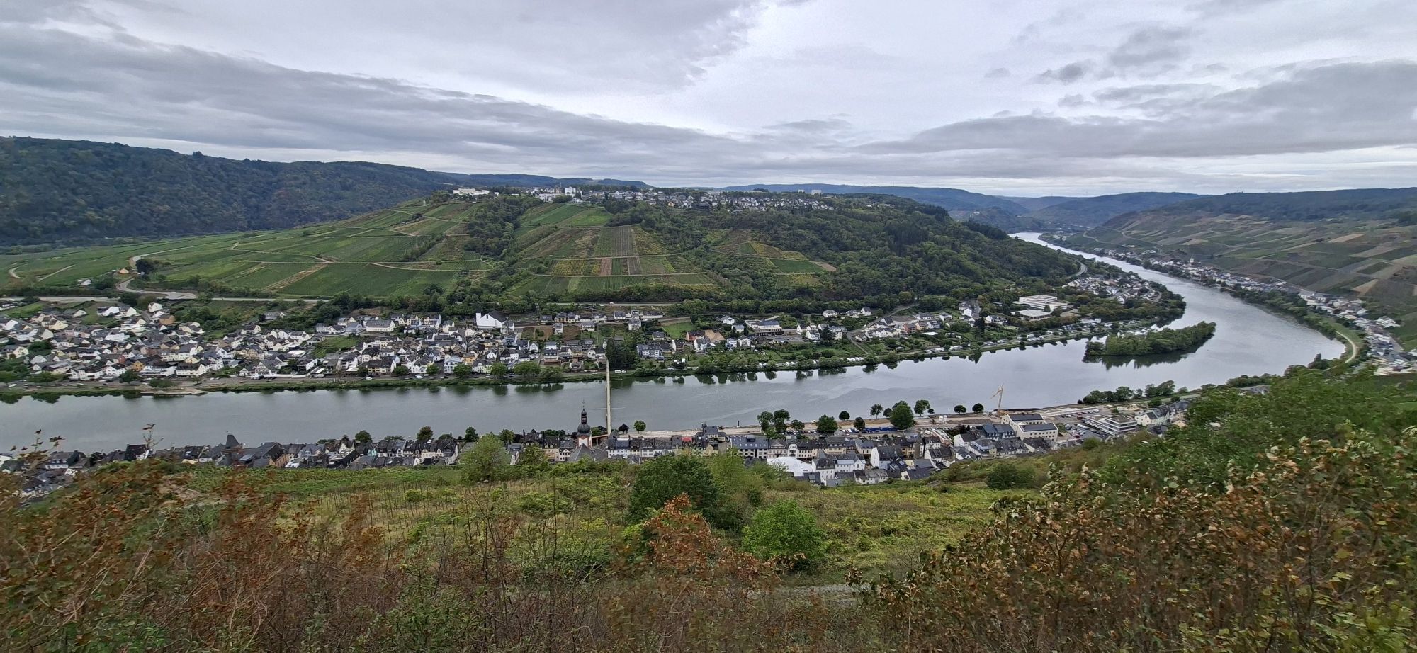
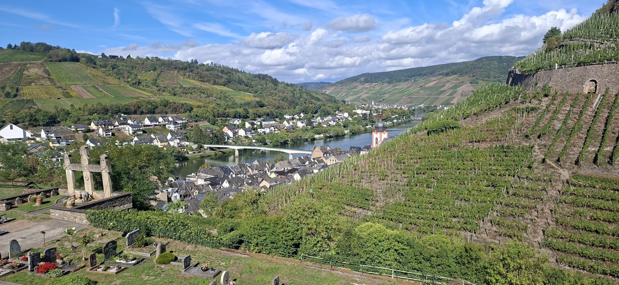
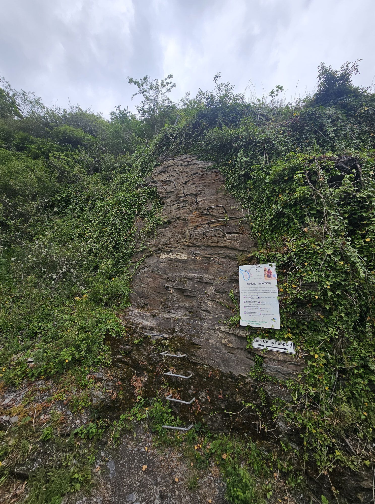
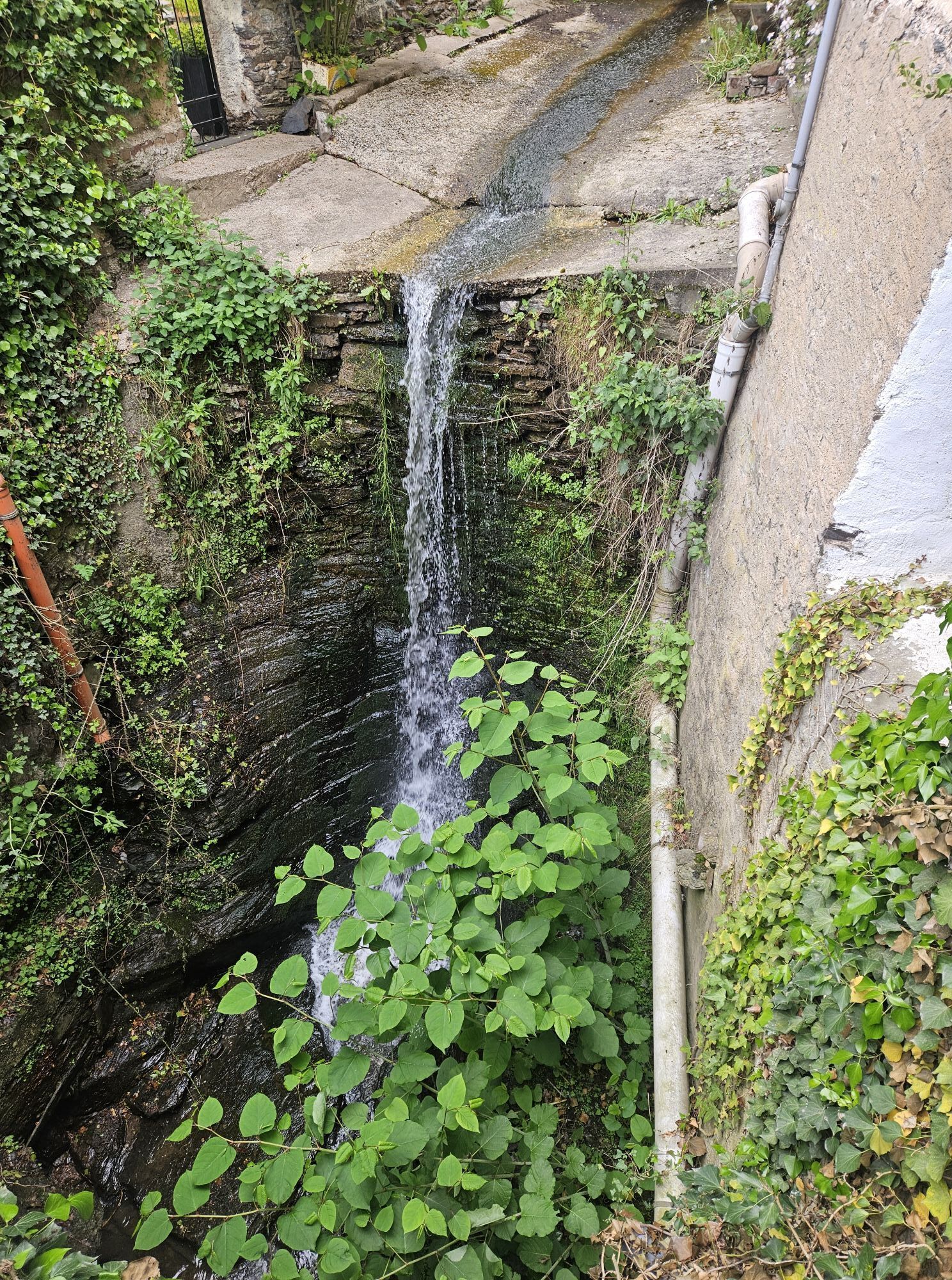
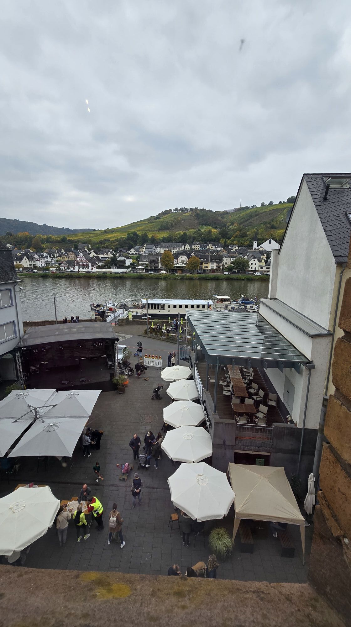
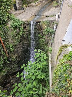
This quite demanding stage starts at the Zeller Schwarze Katz fountain in the heart of the old town of Zell. Passing the tourist information, it immediately goes steeply uphill. Between the houses, a small waterfall rushes by, offering you a pretty view. After the last houses, it gets exciting: here begins the Collis steep path. Narrow, steep slate paths alternate with narrow vineyard steps. Suitable footwear and surefootedness are absolutely required here! The path quickly gains altitude, and when you catch your breath, the view of Zell and the ZellerLand with the distinctive round tower above the town rewards you. By the way, do you like it a bit more adventurous and want to climb? Then you can switch en route to an even more challenging path alternative: there are footholds and a ladder waiting for you here. Both variants meet at the Collis tower. The view quickly makes you forget the ascent's hardships. And if the small hut is open, the break can sometimes last longer.
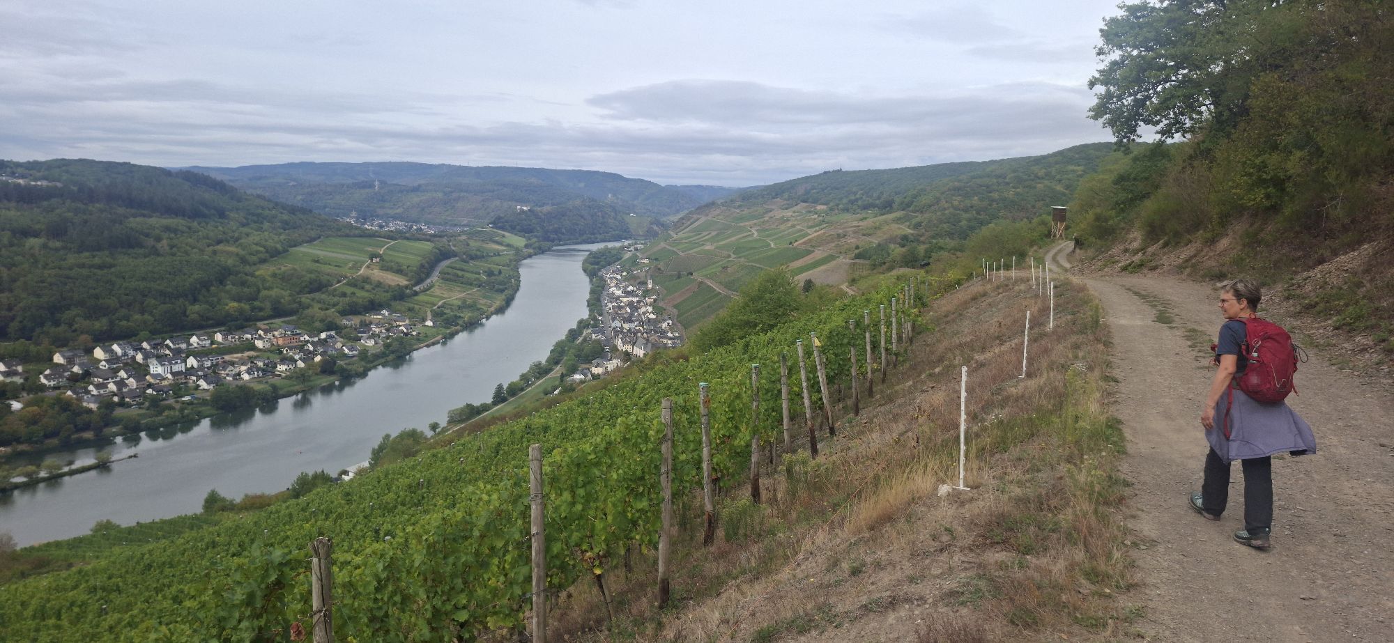
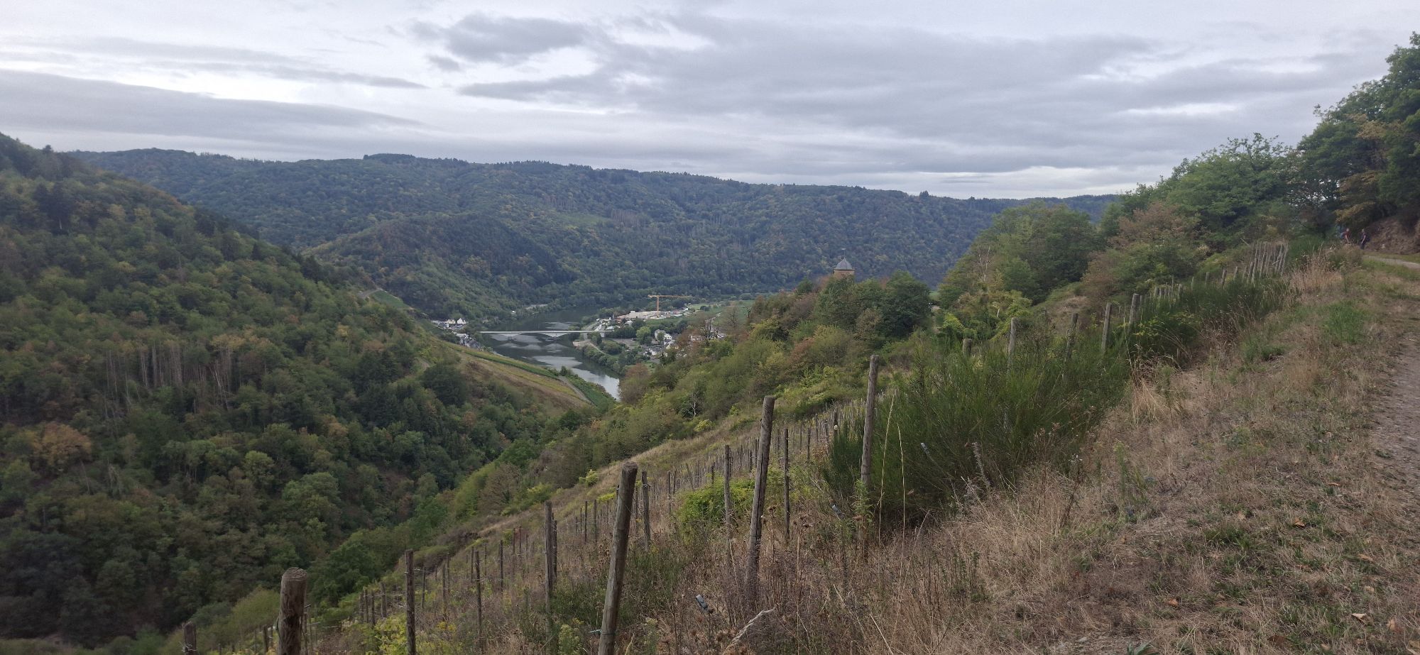
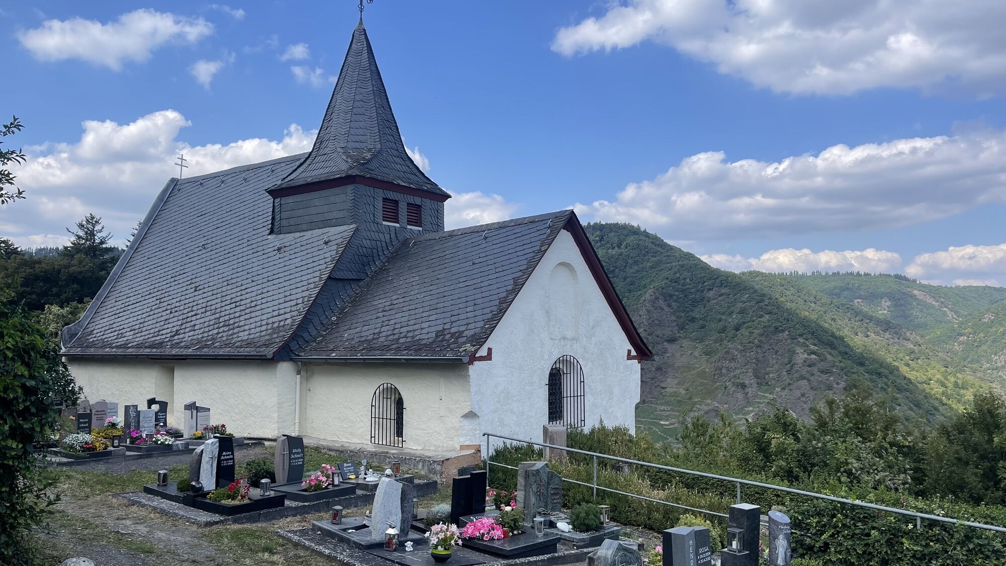
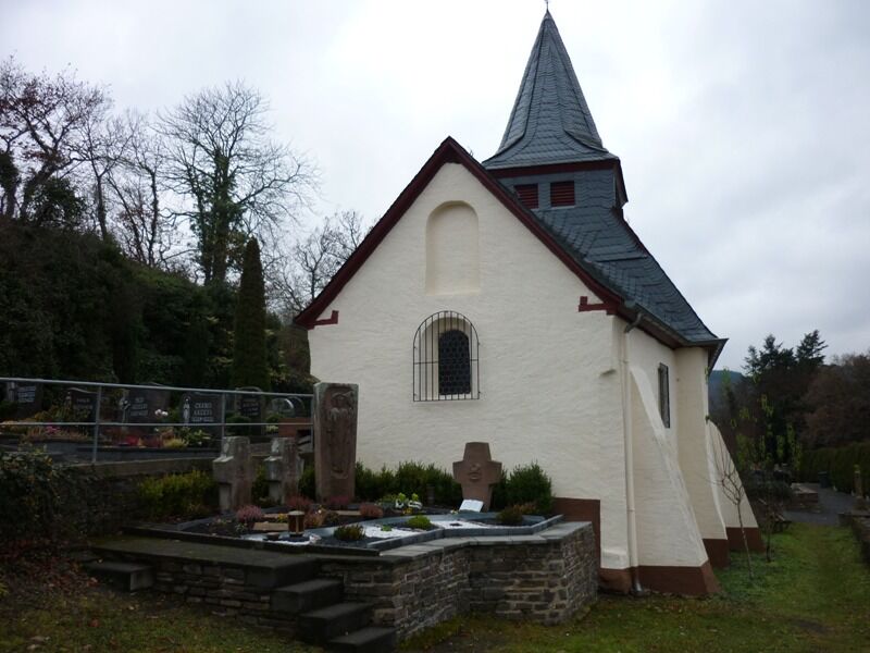
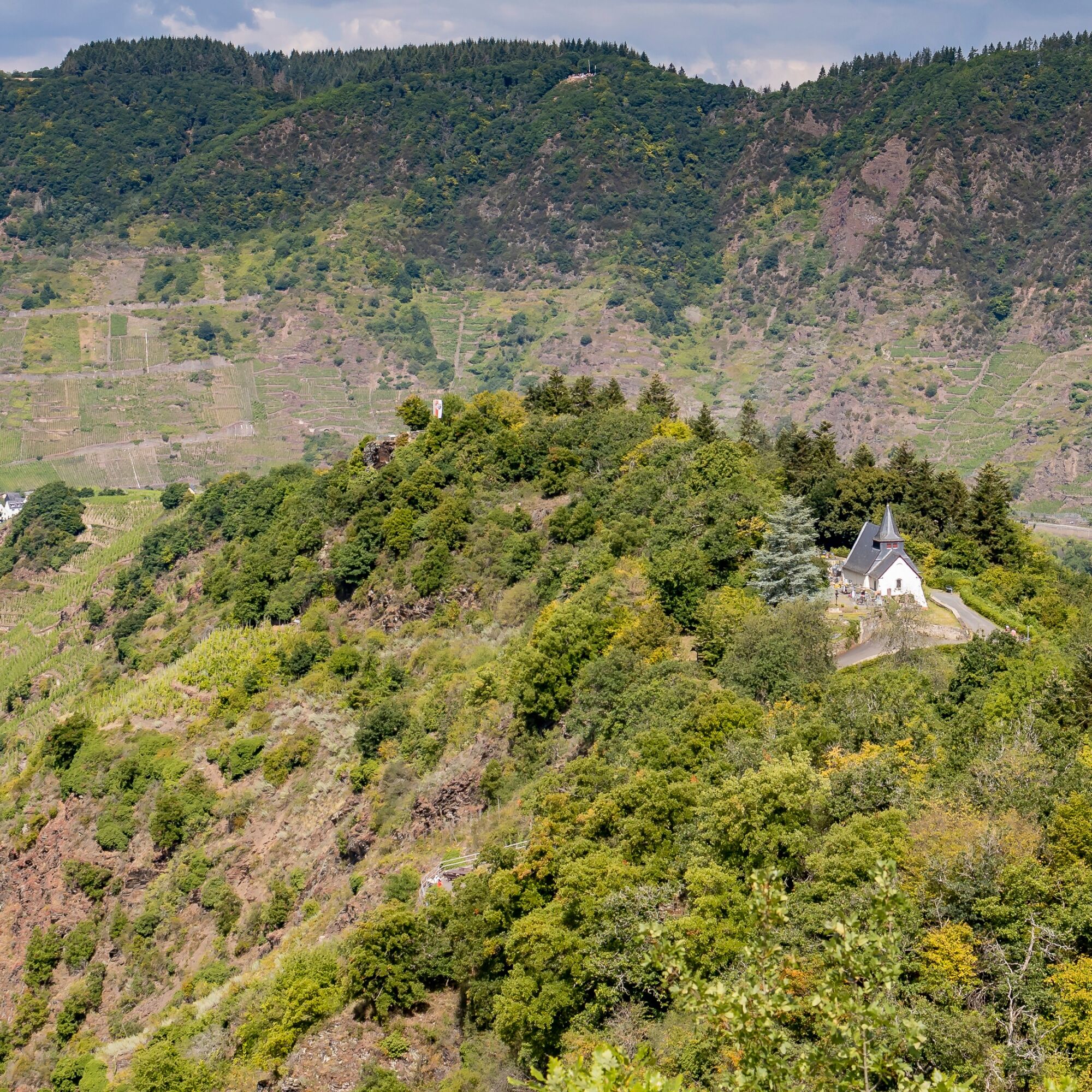
The route continues very varied on the height ahead, through forest, past vineyards, and repeatedly with open views into the Moselle valley. The Lönshöhe with a hut and resting places marks the end of this section. The path then leads down through the forest in switchbacks and offers you several open views of the Moselle valley and the Merl district with the large St. Michael church at the forest edge. In the side valley, you then walk next to the road to the outskirts, where a side path branches off to the center of Merl. From here, the Moselsteig leads steeply uphill to a small hidden chapel.
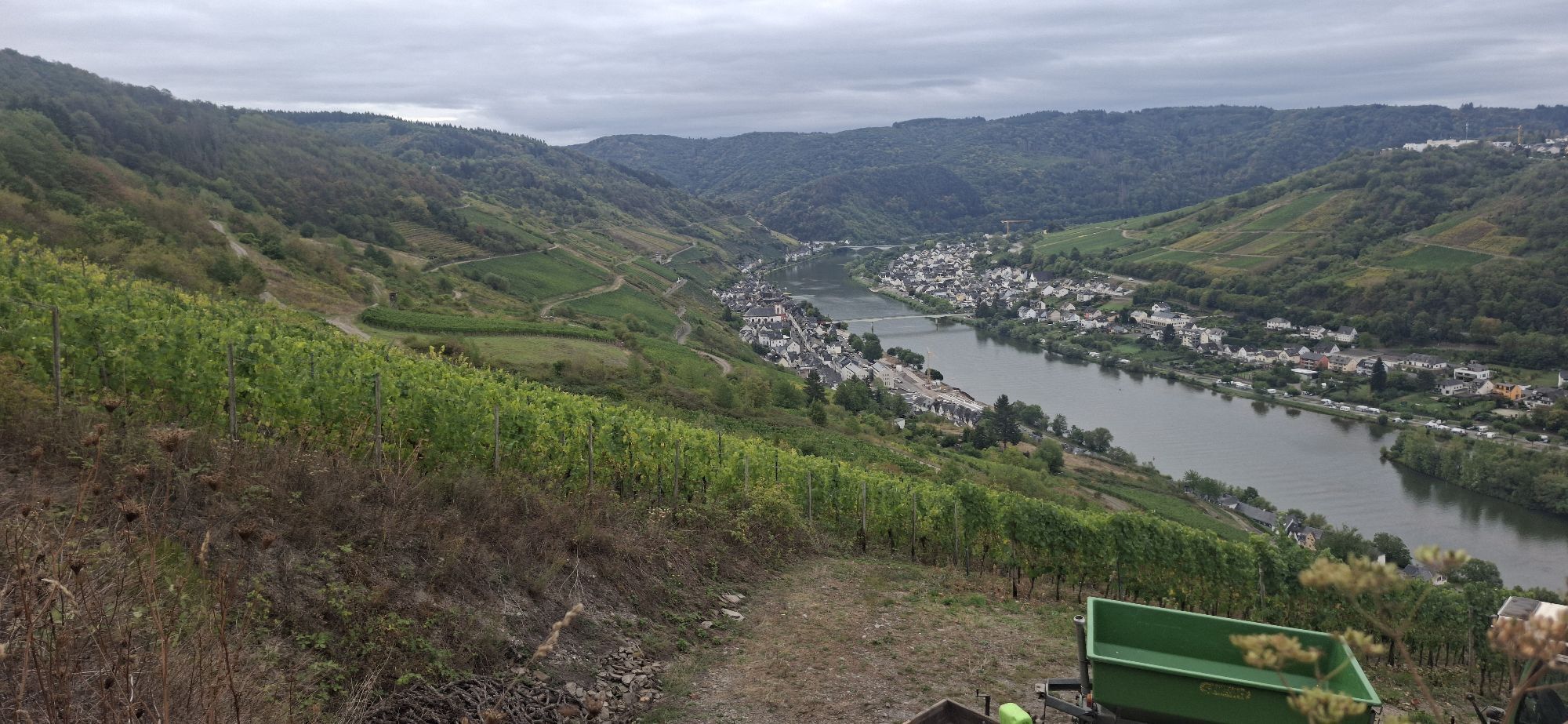
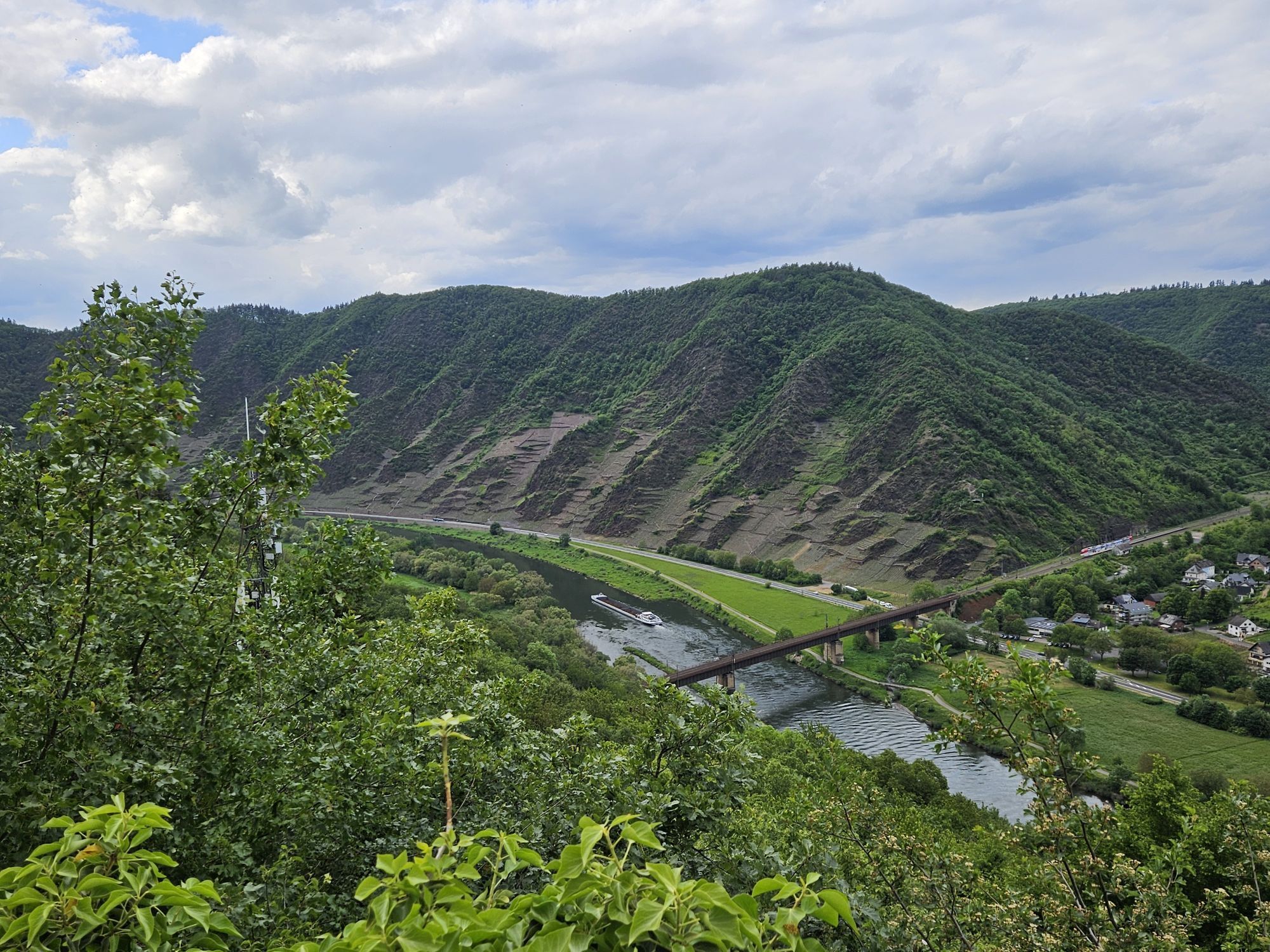
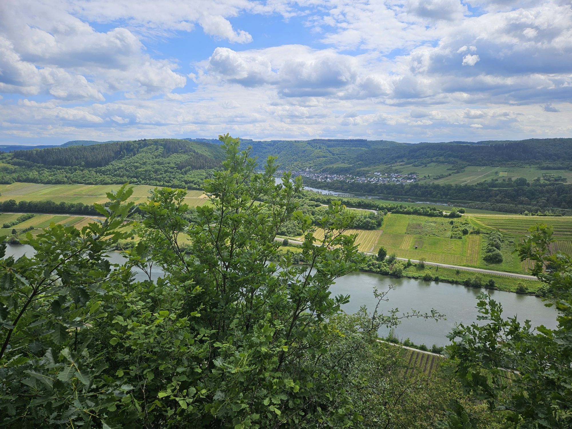
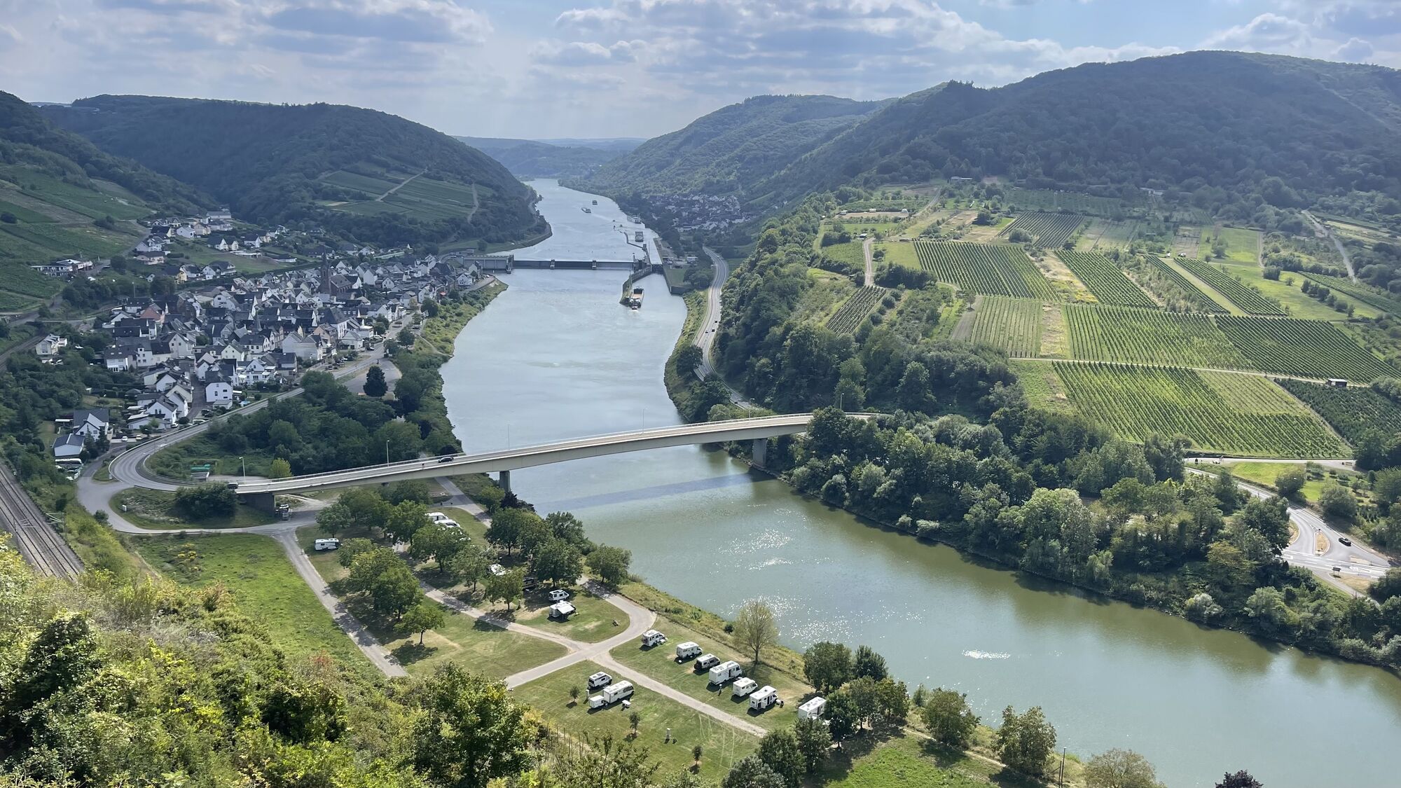
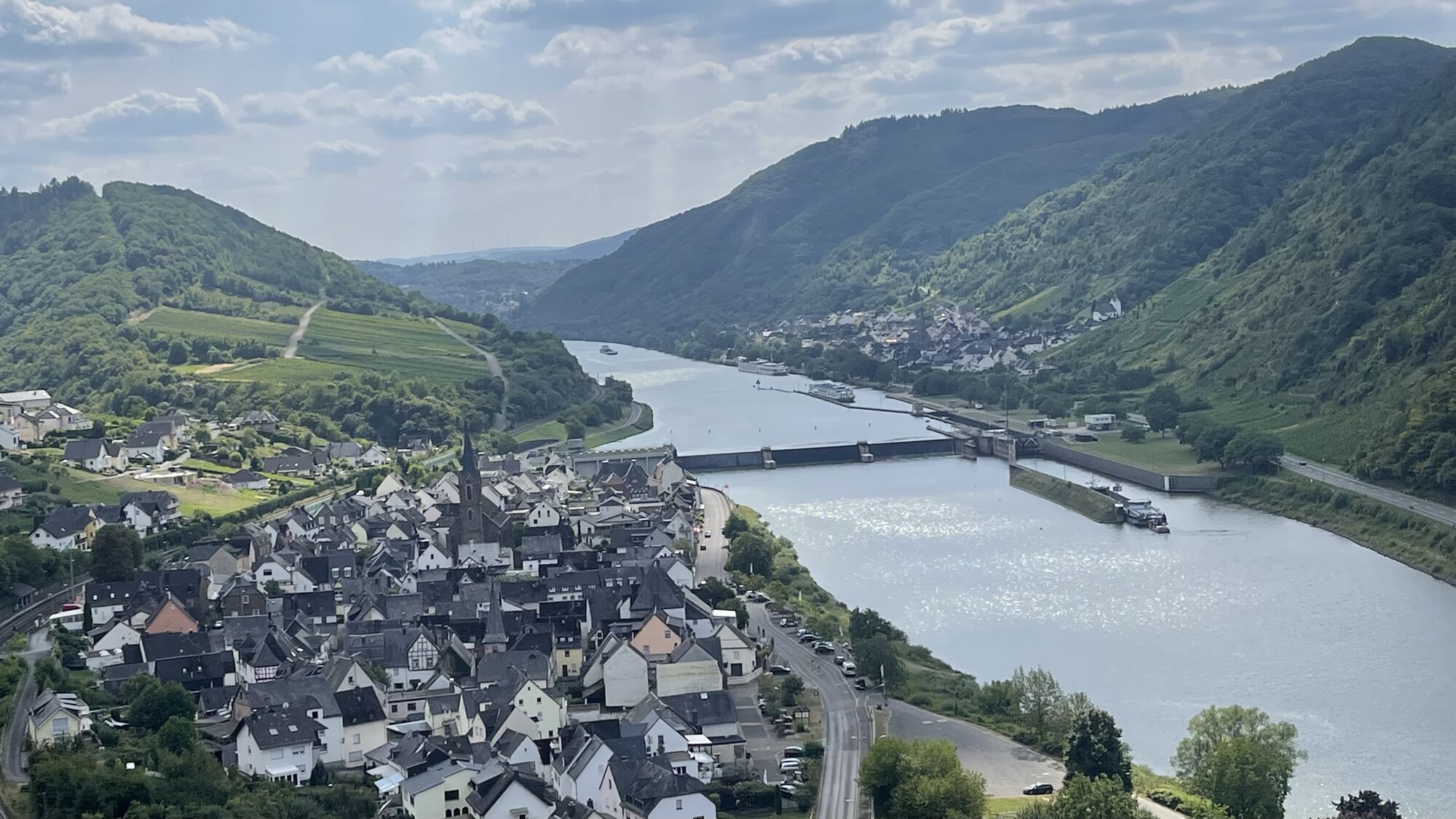
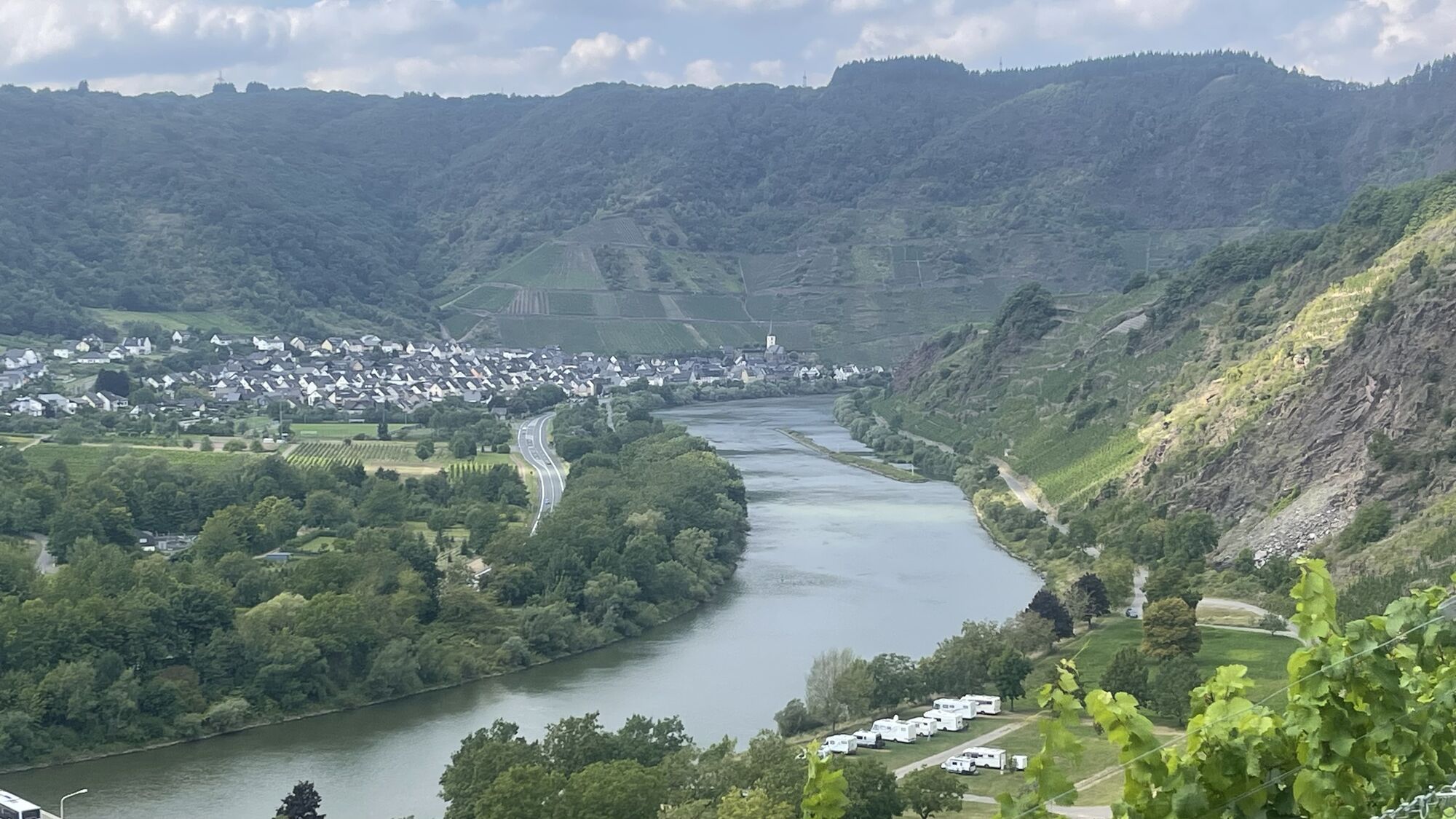
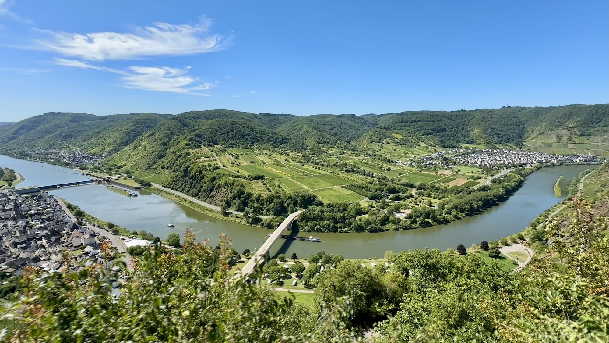
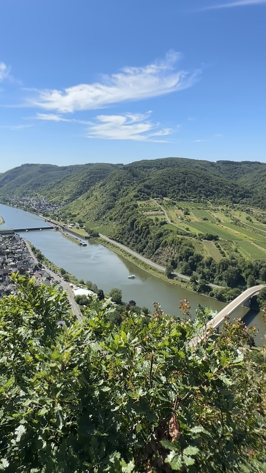
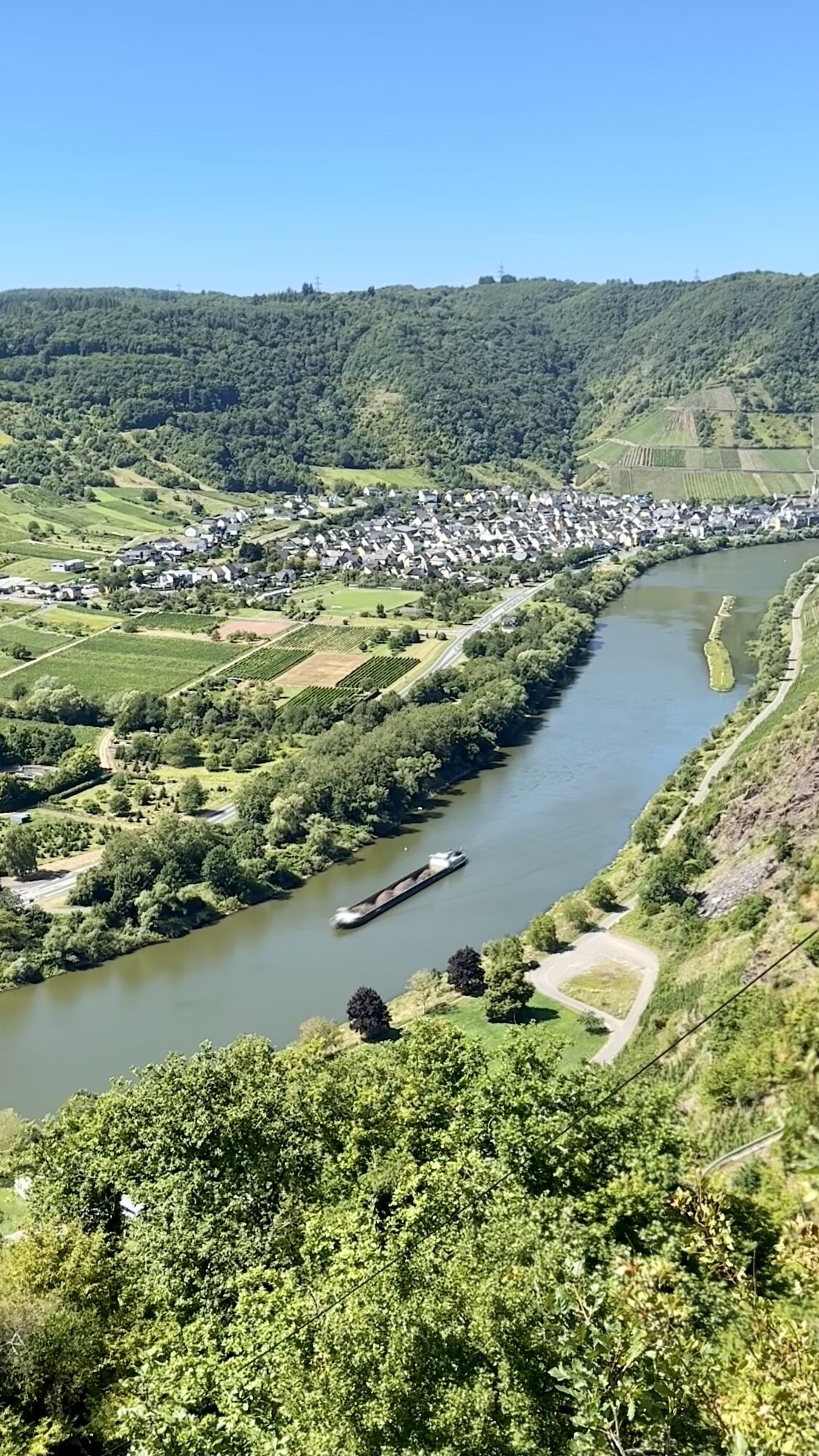
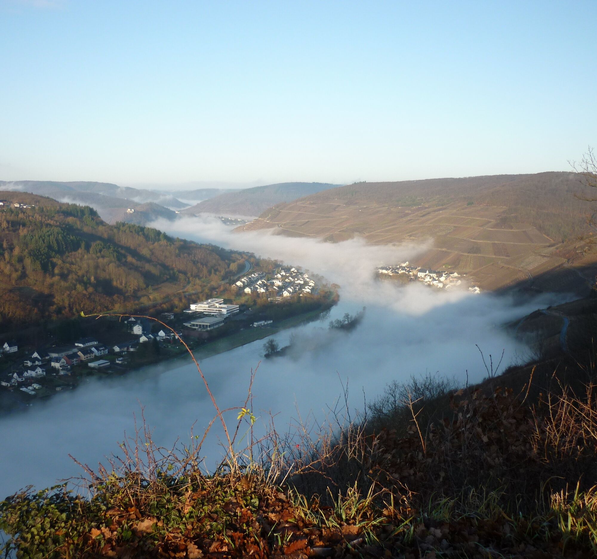
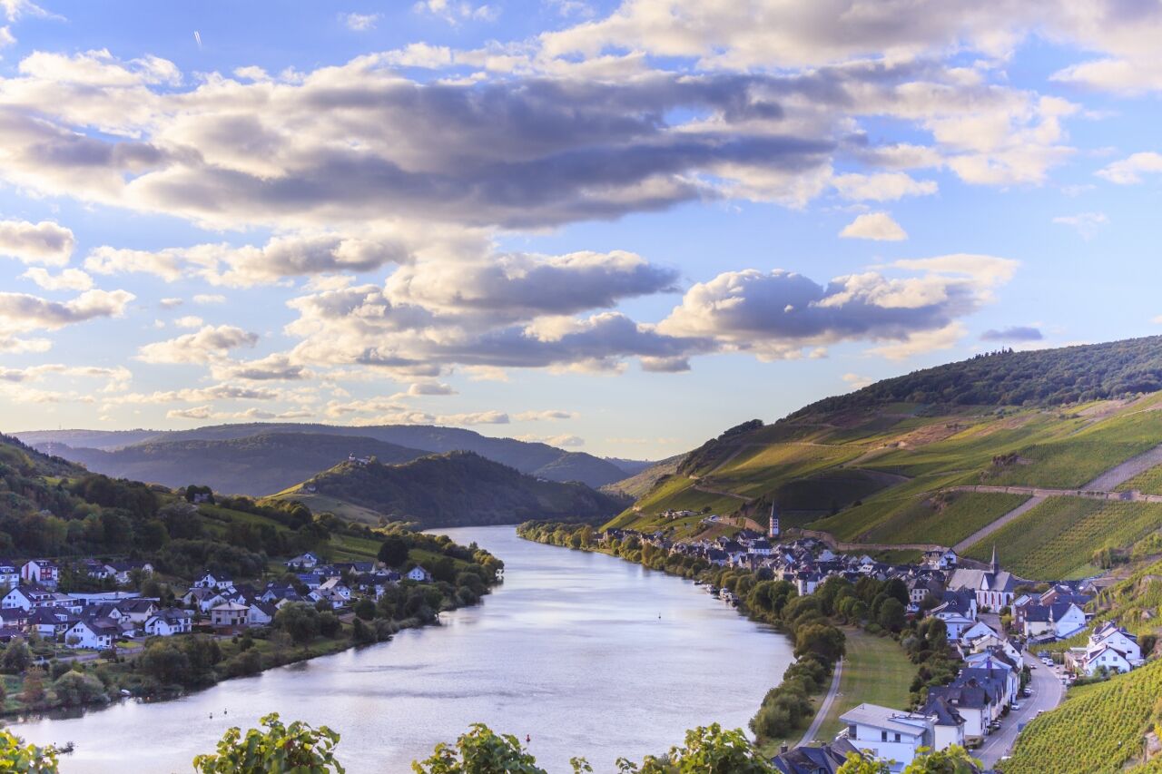
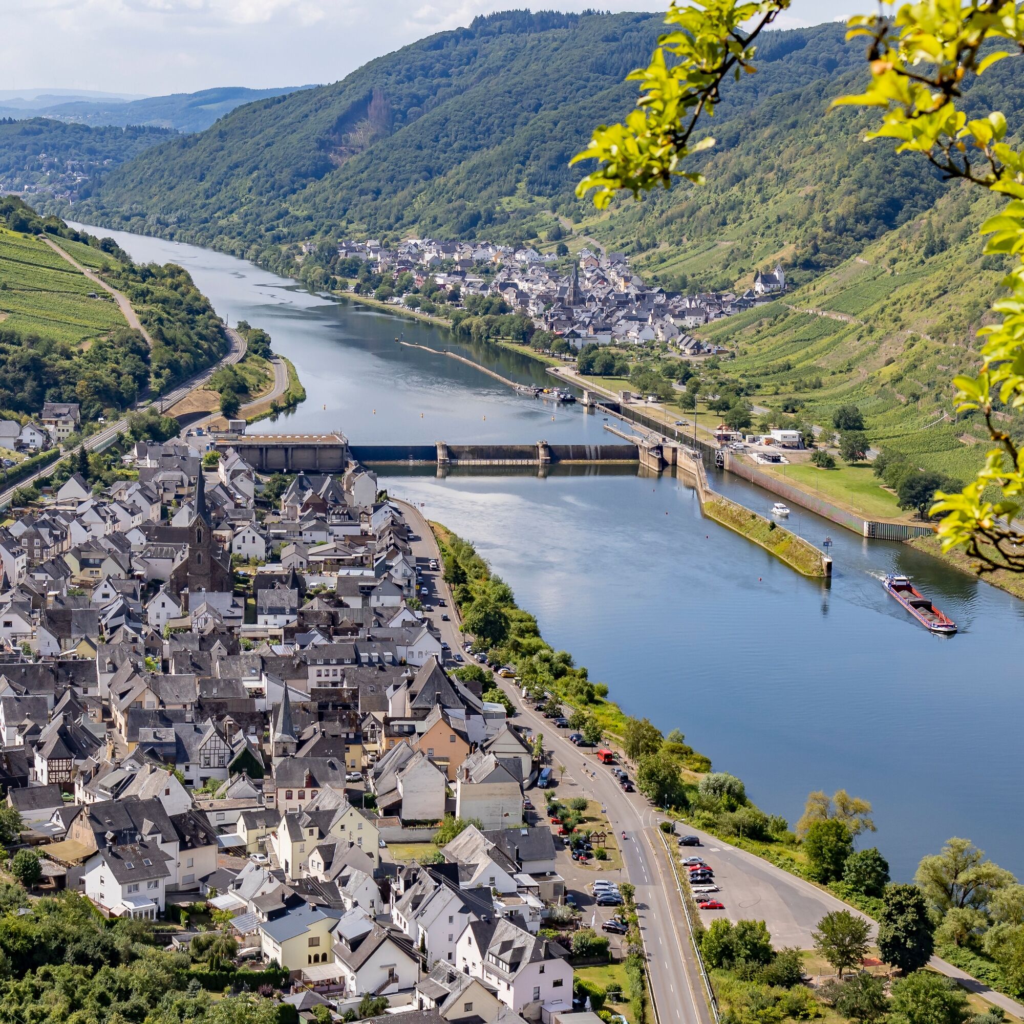
The next vineyard paths bring you back from the side valley to the Moselle. You now climb higher and higher through the vineyards, and the view of the Marienburg on the opposite ridge gets better and better. Spectacularly located on the edge of the slope is a rest area, after which you reach a small forest section. The view from here and from the slightly higher bench is breathtaking! The view even goes beyond the Marienburg saddle, and the Moselle appears as a "two-lake landscape."
Amidst forest and vineyards, the path then gently descends to a junction where the side path to Bullay branches off. From the rest area at the forest edge, the Moselsteig climbs again with an open view of Bullay and the rare double bridge. In the forest, you switch to a path that leads after a short ascent to the Bullay Königshütte. Although surrounded by forest, the view here is beautiful! Enjoy the view of Bullay, the Moselle valley, the Prinzenkopf, and further back the forested Alftal with the Arras castle.
Now follows a longer section through the forest. Over a section, you accompany a small stream into the valley before a larger forest track starts another ascent. Almost reached the top, a side path to Bullay branches off – where "Uncle Tom's Hut" is located (see author’s tip). Soon the ascent is finally mastered, and you reach the forest edge. You pass a Christmas tree plantation and a meadow orchard, then go back into the forest. The path now remains almost level until the Blitzeiche. Afterwards, the Moselsteig leads slowly downhill along old, partly bizarrely shaped beeches. In between, the forest offers a view of St. Aldegund on the opposite Moselle side. And those who want can take a shortcut to Neef via a side path along the vineyard edge.
For Moselsteig hikers, the route now continues into the Neefer Bachtal. The ascent is steep first through former vineyards, then through the forest. The path approaches the Moselle and slope edge again from the side valley. You continue hiking above vineyard fallows, which occasionally allow a view of the stage destination Neef. The Neef summit cross does not yet offer the last highlight of this stage, even though the 360° view is overwhelming. You should definitely also make a detour to Petersberg a little further down with the ancient chapel and cemetery. The view from here is also fantastic! Besides splendid views from the "Eulenköpchen" of the Neefer Petersberg over the entire Moselle loop and the opposite Calmont, it offers with its wooded summit, the moist riversides of the Moselle, and the vineyard site "Frauenberg" a diversity of habitats for flora and fauna. There are also some cultural and historical sights to discover there. The Neefer Petersberg is therefore considered a beacon of biological diversity (https://www.lebendige-moselweinberge.de/leuchtpunkte.html). The beacon is signposted on site. You can access further information via a QR code. The following link https://www.youtube.com/watch?v=nB738JrxQj0 shows you a great video about the diversity of the Neefer Petersberg.
You then descend to the stage destination Neef via vineyard paths, interrupted by two steep stairs. Now not much longer, and you reach the Neef train station and thus the end of the stage.
Tak
sturdy footwear
weather-appropriate, functional hiking clothing
packed lunch
Starting point: Zell (Mosel) via B 53
Destination: Neef via B 49, between St. Aldegund and Bremm via the Moselle bridge
You can reach the stage towns Zell (Lindenplatz stop) as well as Neef (train station stop). Bus connection between Zell and Bullay with bus line 721. Between Bullay station and Neef, train connection with RB 81.
There are regular connections. Please note that during school holidays in Rhineland-Palatinate / Saarland, on weekends, and on public holidays, there may be restrictions in frequency! Please check the daily updated timetable information on the website of the Verkehrsverbund Region Trier (VRT):
Zell (Mosel): The parking lots along the Moselle promenade are subject to fees. Free parking is available a little further downstream on a large lot directly at the Moselle bank.
Neef: There is no parking at the station; a sufficient number of parking spaces are available at the Moselle bank.
Tak
Mosellandtouristik GmbH
Kordelweg 1, 54470 Bernkastel-Kues; Phone: +49 (0)6531/97330
Zeller Land Tourism GmbH, Tourist Information
Balduinstraße 44, 56856 Zell (Mosel); Phone: +49 (0)6542/96220
The excursion restaurant "Uncle Tom's Hut" is only a few hundred meters off the Moselsteig and is definitely worth a detour. From the terrace, you can enjoy a unique view of the Moselle valley. An ideal catering option on this quite long stage (check opening hours).




Popularne wycieczki w okolicy
- 5,0
Calmonter Felsensteig
średniWędrówka 6,31 km - 5,0
Moselsteig stage 11: Bernkastel-Kues - Ürzig
średnidługodystansowy szlak pieszy 17,1 km - 4,2
Moselsteig stage 14: Reil – Zell (Mosel)
światłodługodystansowy szlak pieszy 12,4 km - 4,3
Moselsteig side route Leiermannspfad
średniWędrówka 10,9 km - 4,0
Moselsteig stage 18: Beilstein – Cochem
średnidługodystansowy szlak pieszy 14,4 km Moselsteig (entire route). Your way to experience more.
średnidługodystansowy szlak pieszy 348,8 km- 4,5
Moselsteig stage 12: Ürzig – Traben-Trarbach
średnidługodystansowy szlak pieszy 15,1 km - 5,0
Moselsteig stage 13: Traben-Trarbach – Reil
średnidługodystansowy szlak pieszy 15,3 km - 5,0
Mörsdorf - Geierlay
średniWędrówka 7,79 km - 4,8
Mastershausen, Burgherren Traumschleife
średniWędrówka 15,8 km
Wędrówki i tropienie


Nie przegap ofert i inspiracji na następne wakacje
Twój adres e-mail została dodana do listy mailingowej.





