






Henschtal - Eichhörnchenweg in the Hodenbach valley
The 2 hiking trails (Turmweg and Eichhörnchenweg) open up the area around the Hodenbach valley between Henschtal and Steinbach am Glan.
The mix of steep valley incision, forested on both sides, and the...
The 2 hiking trails (Turmweg and Eichhörnchenweg) open up the area around the Hodenbach valley between Henschtal and Steinbach am Glan.
The mix of steep valley incision, forested on both sides, and the open heights with views over the Palatinate Highlands make the charm of these circular hikes.

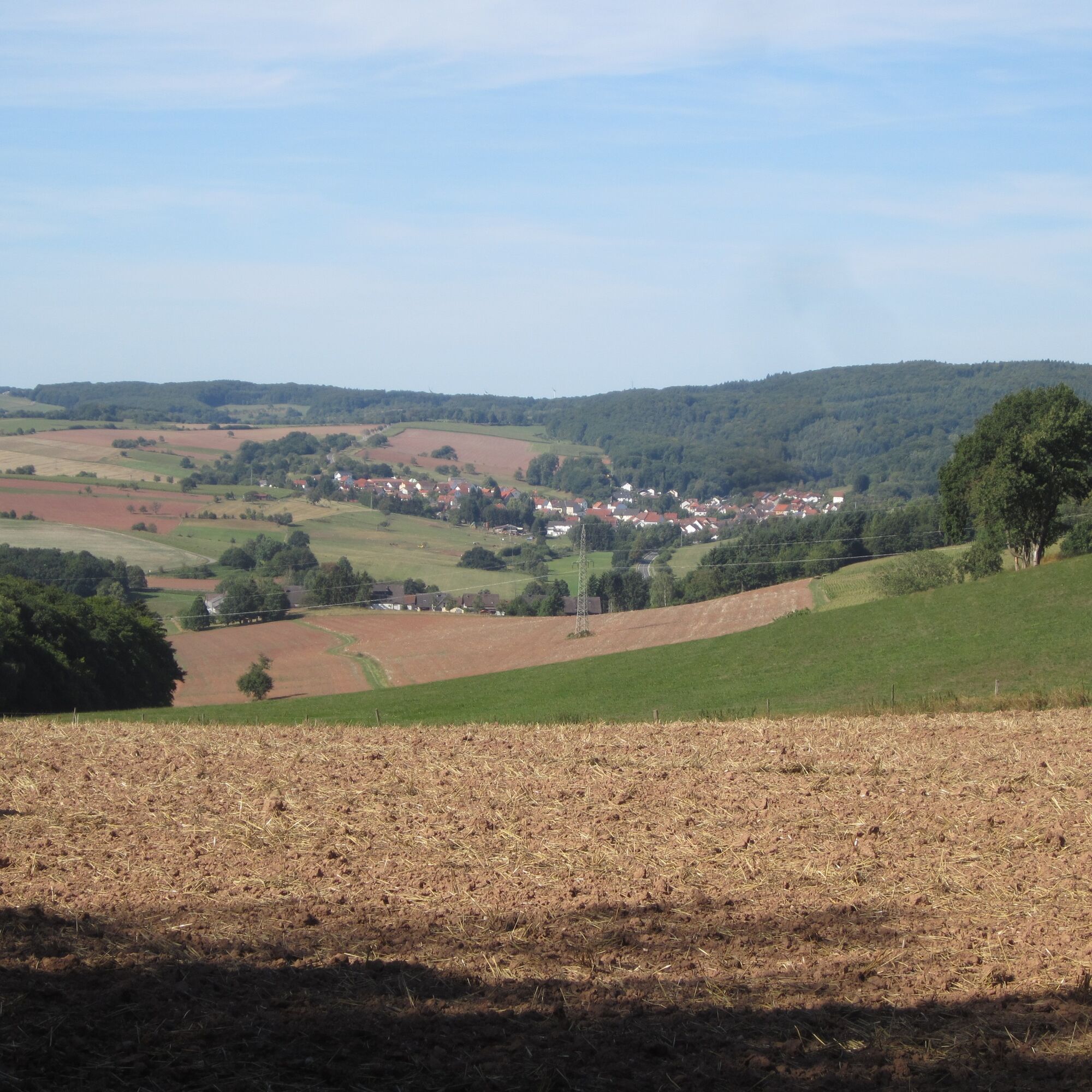
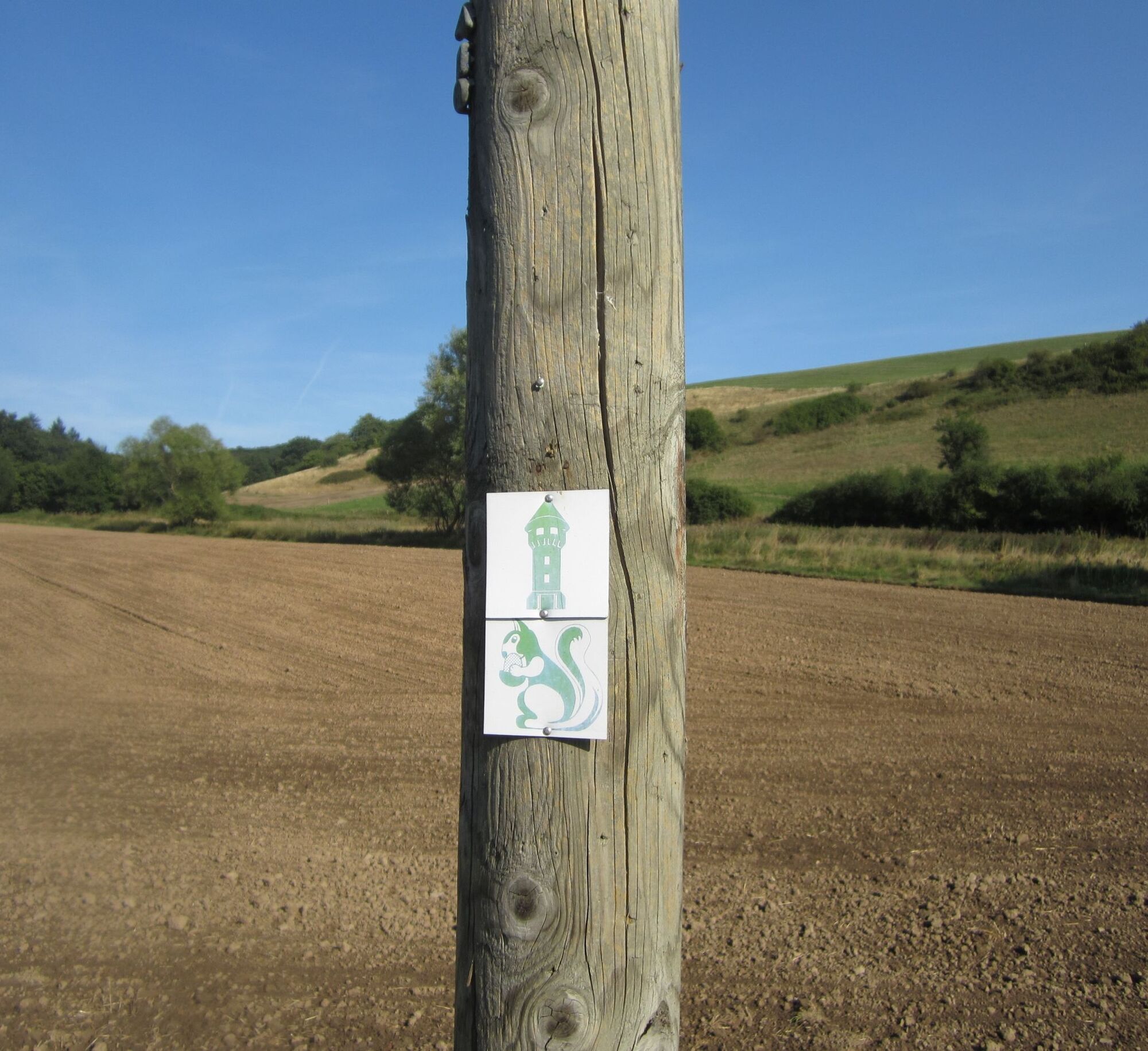
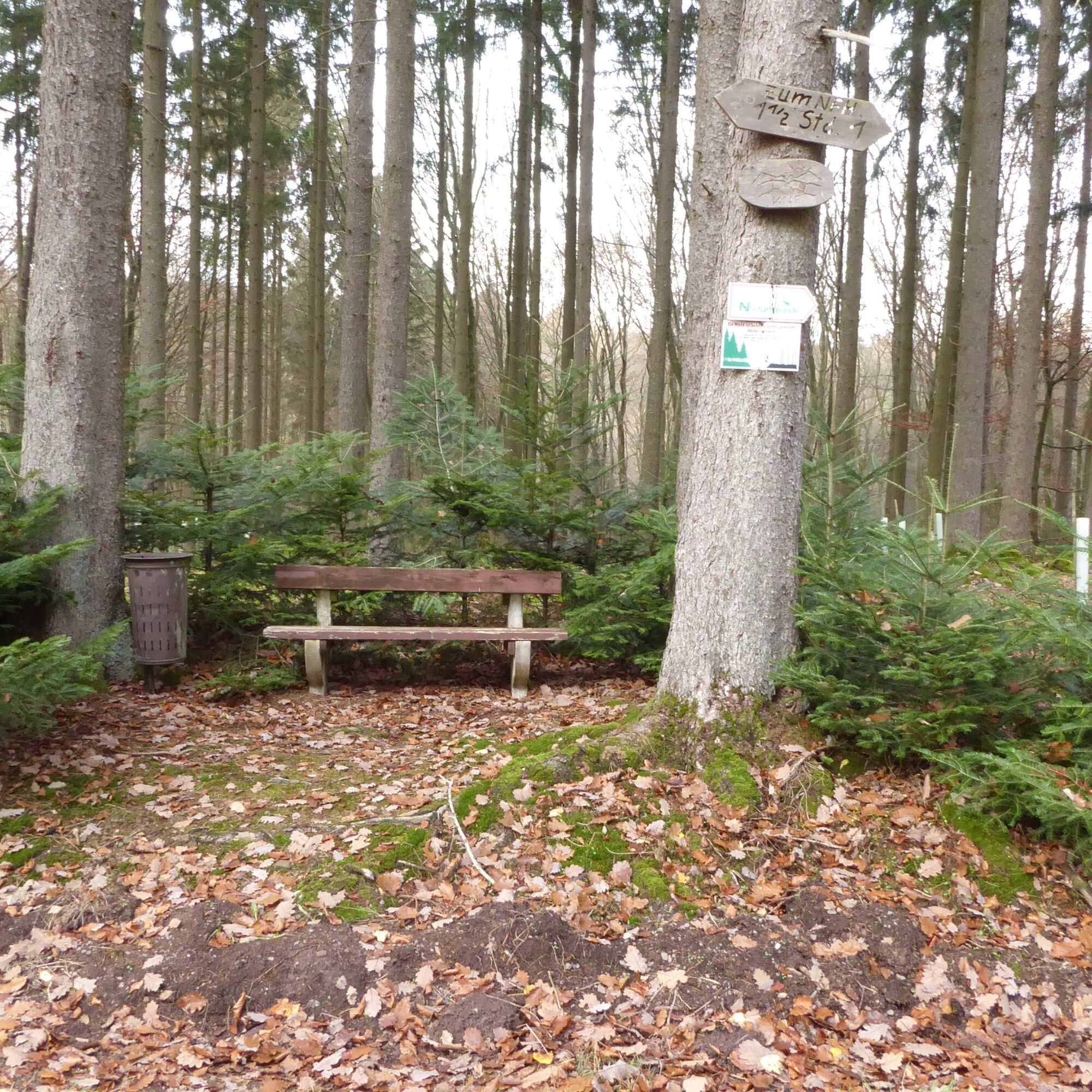
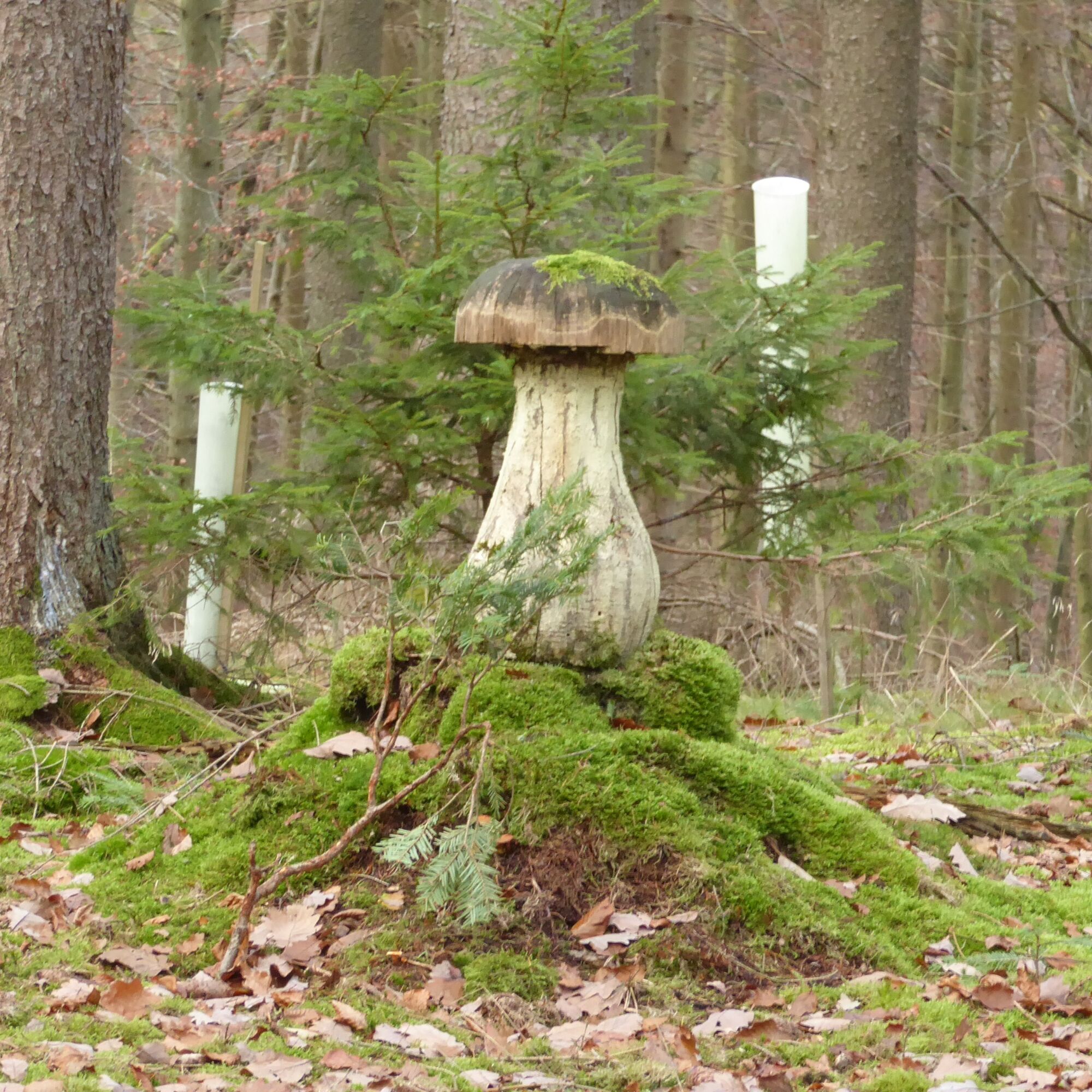
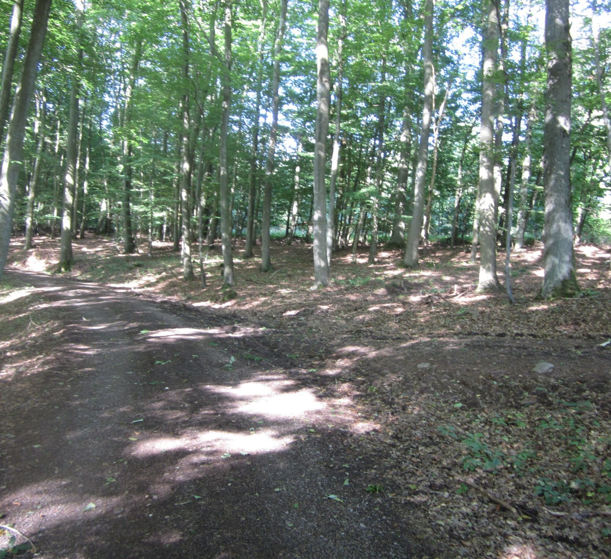
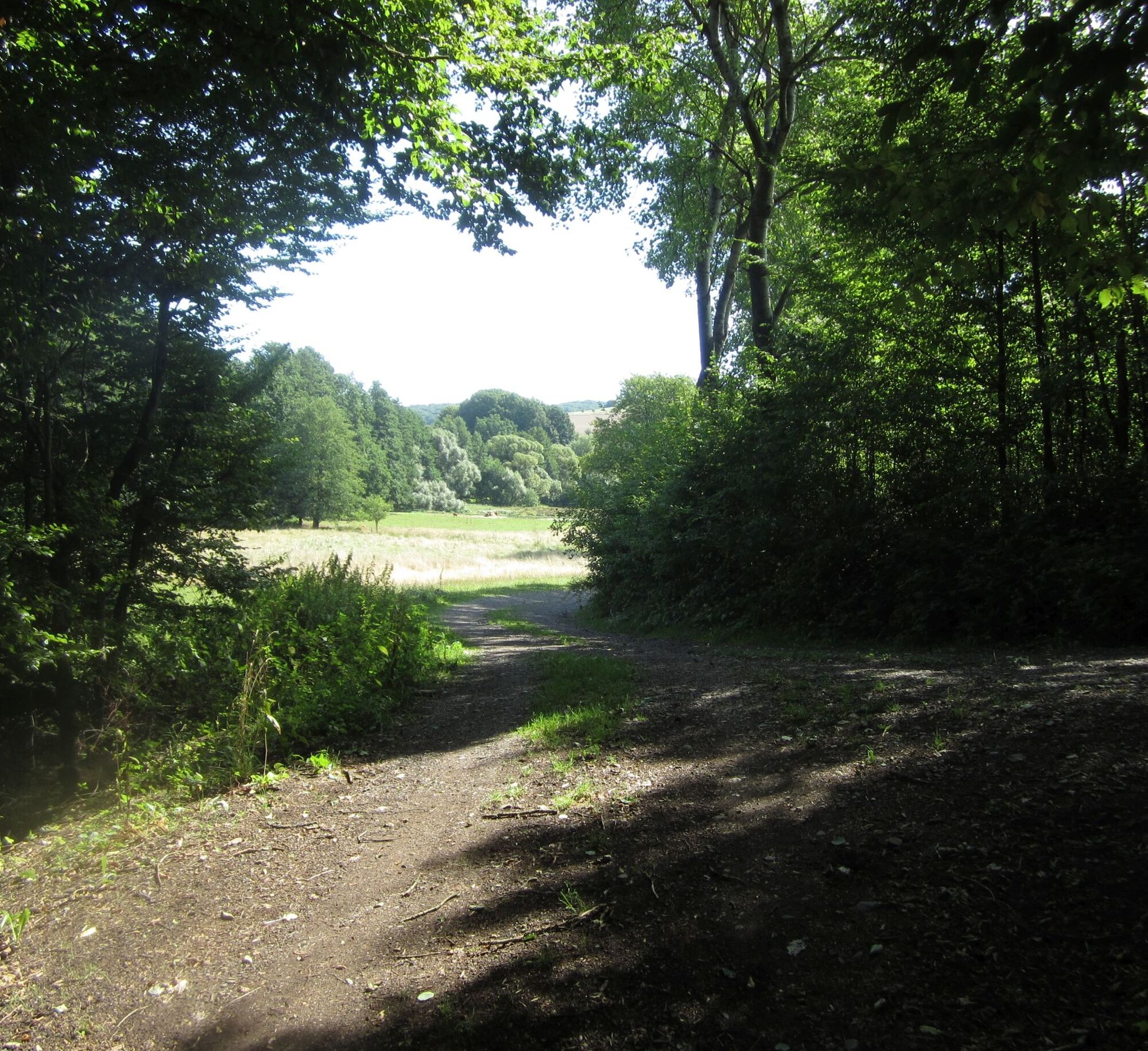
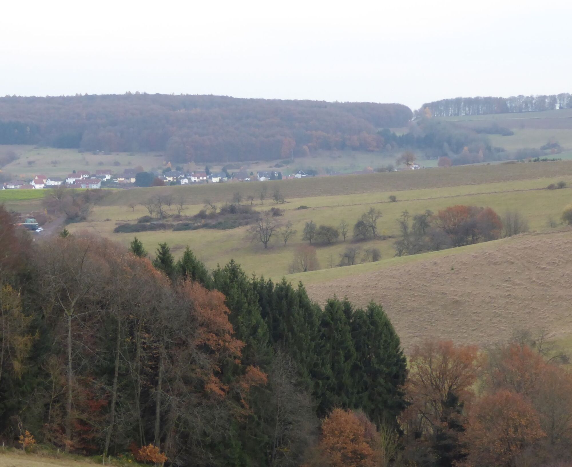
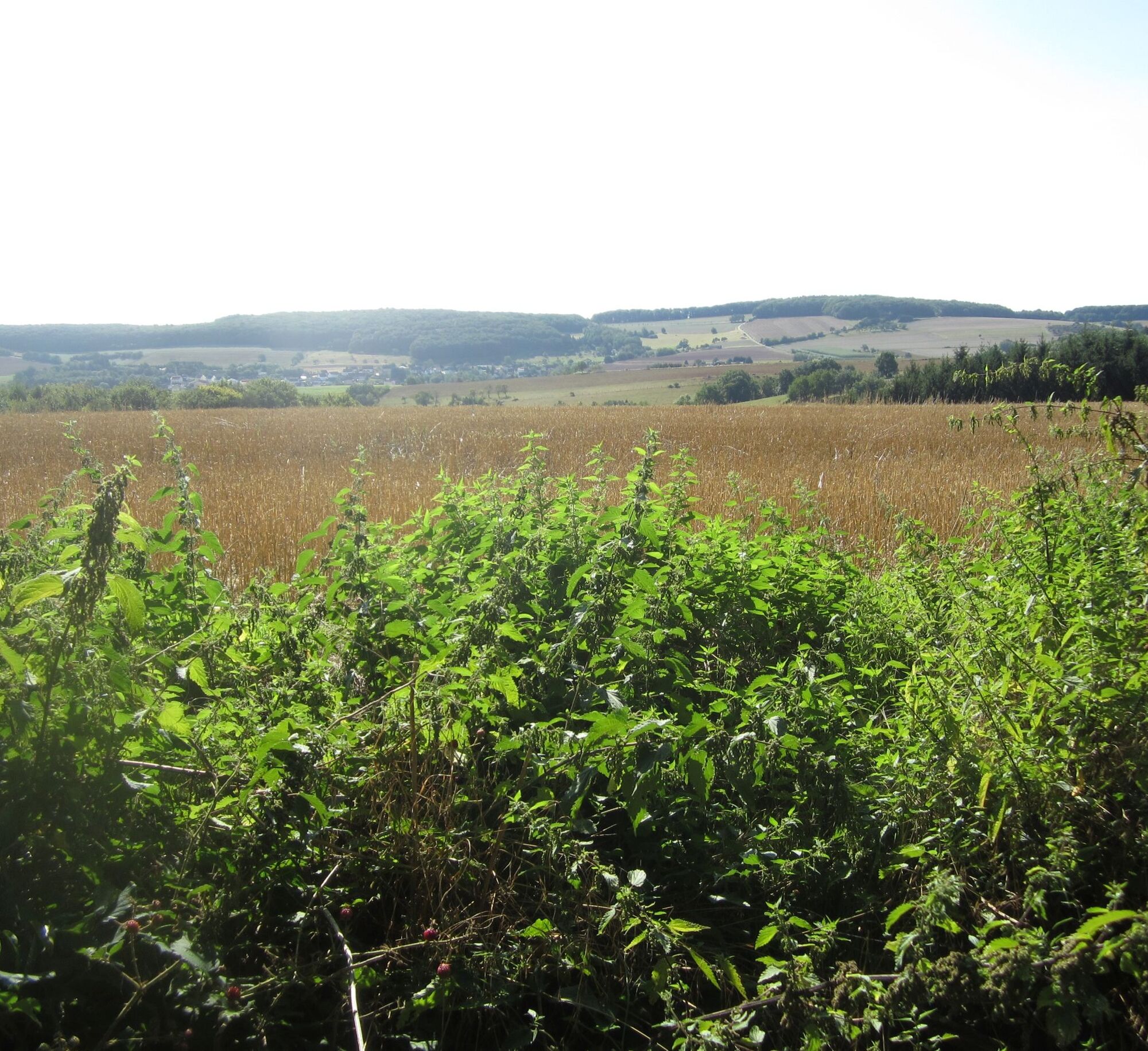
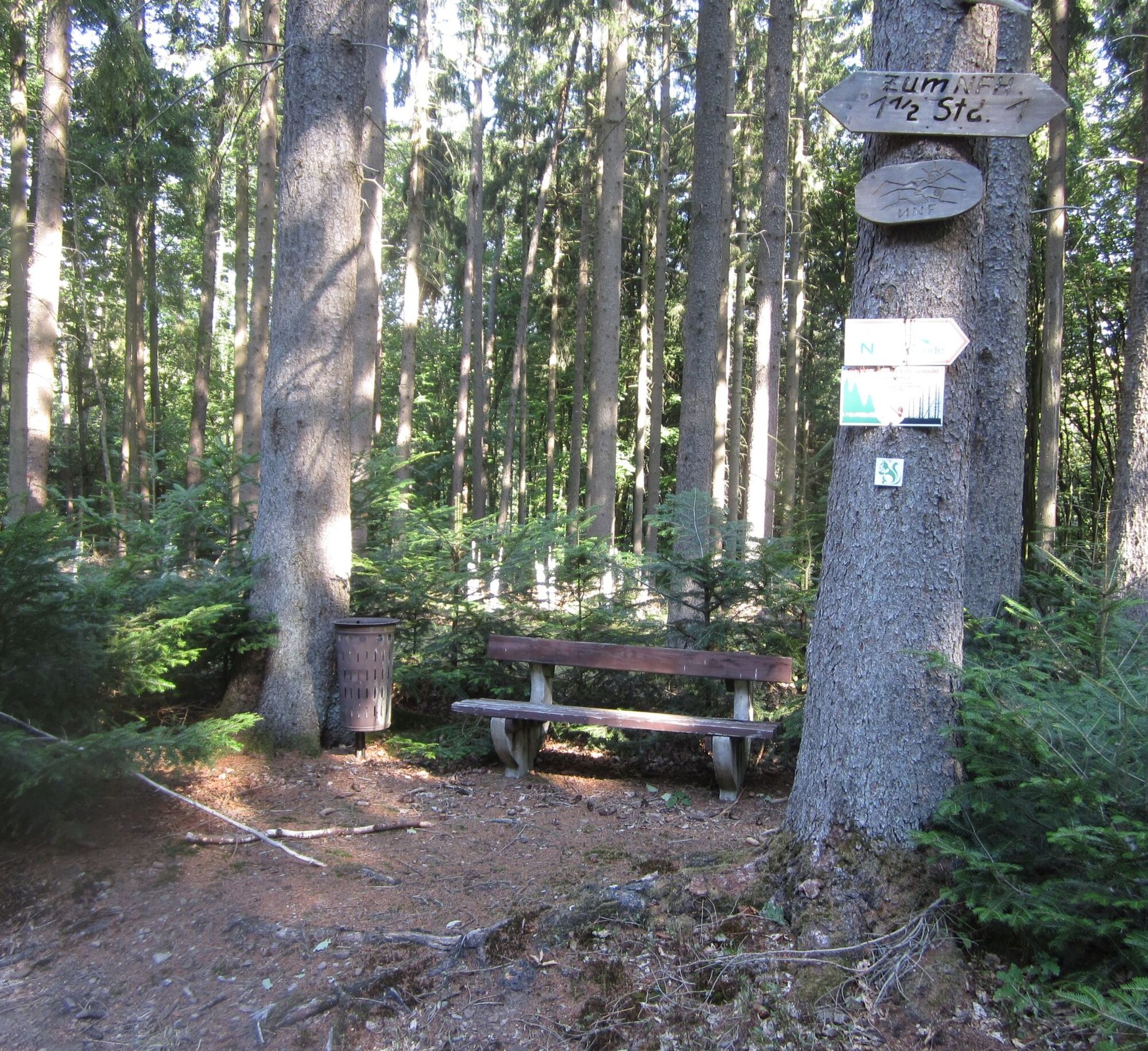
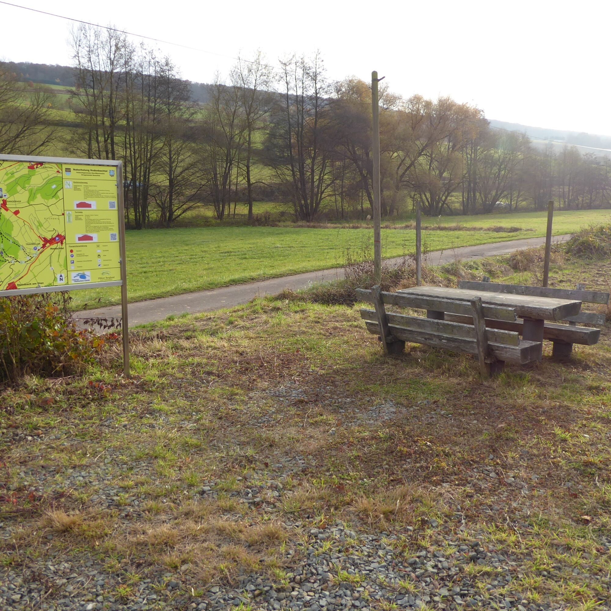
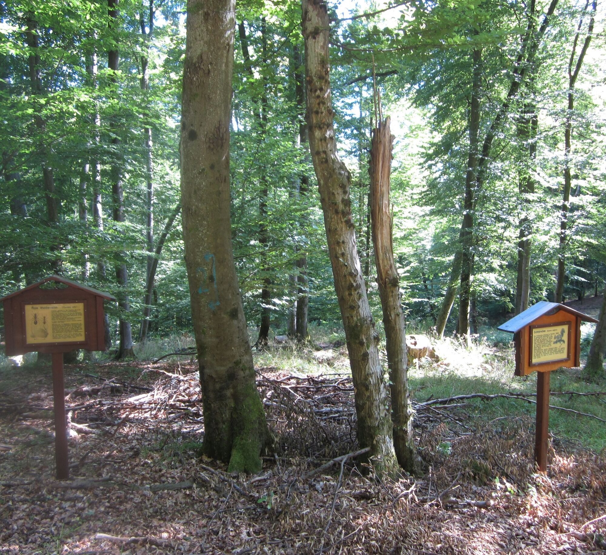
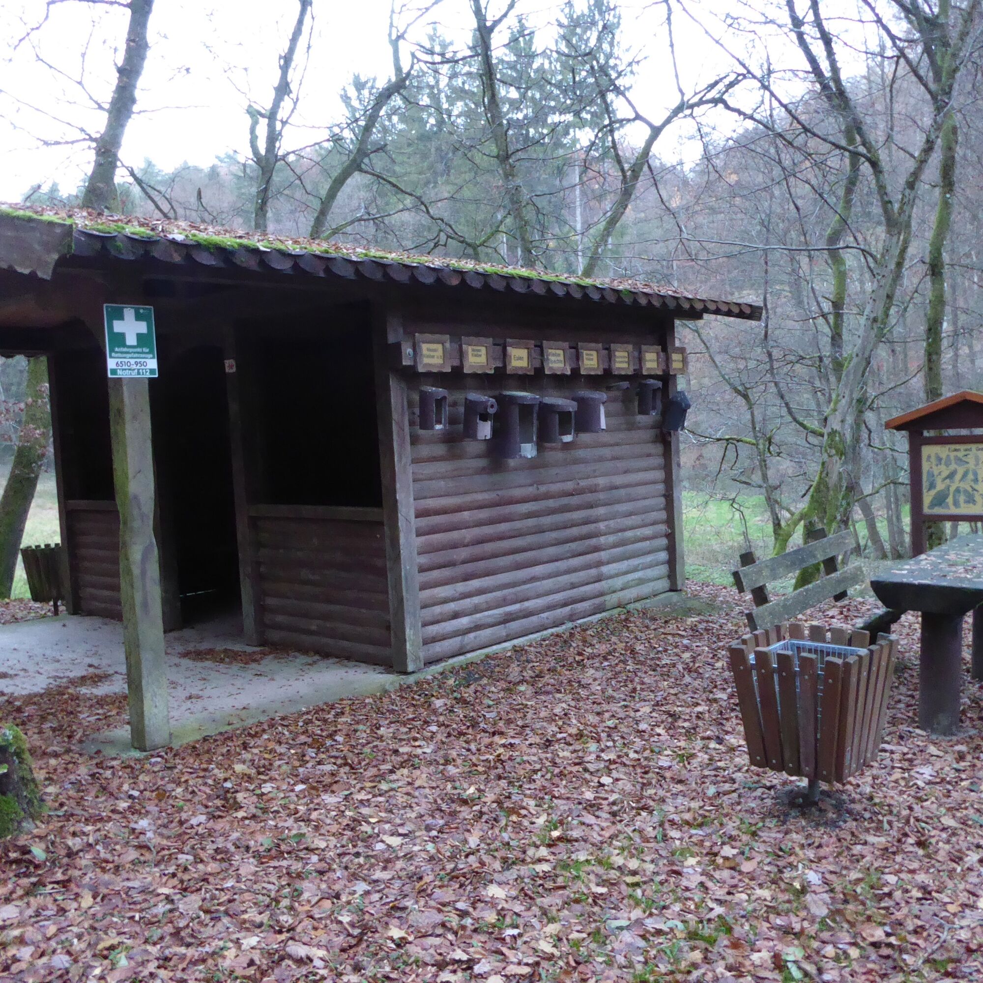
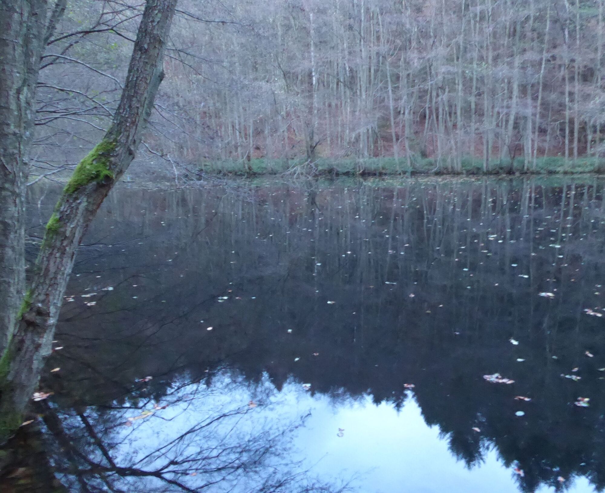
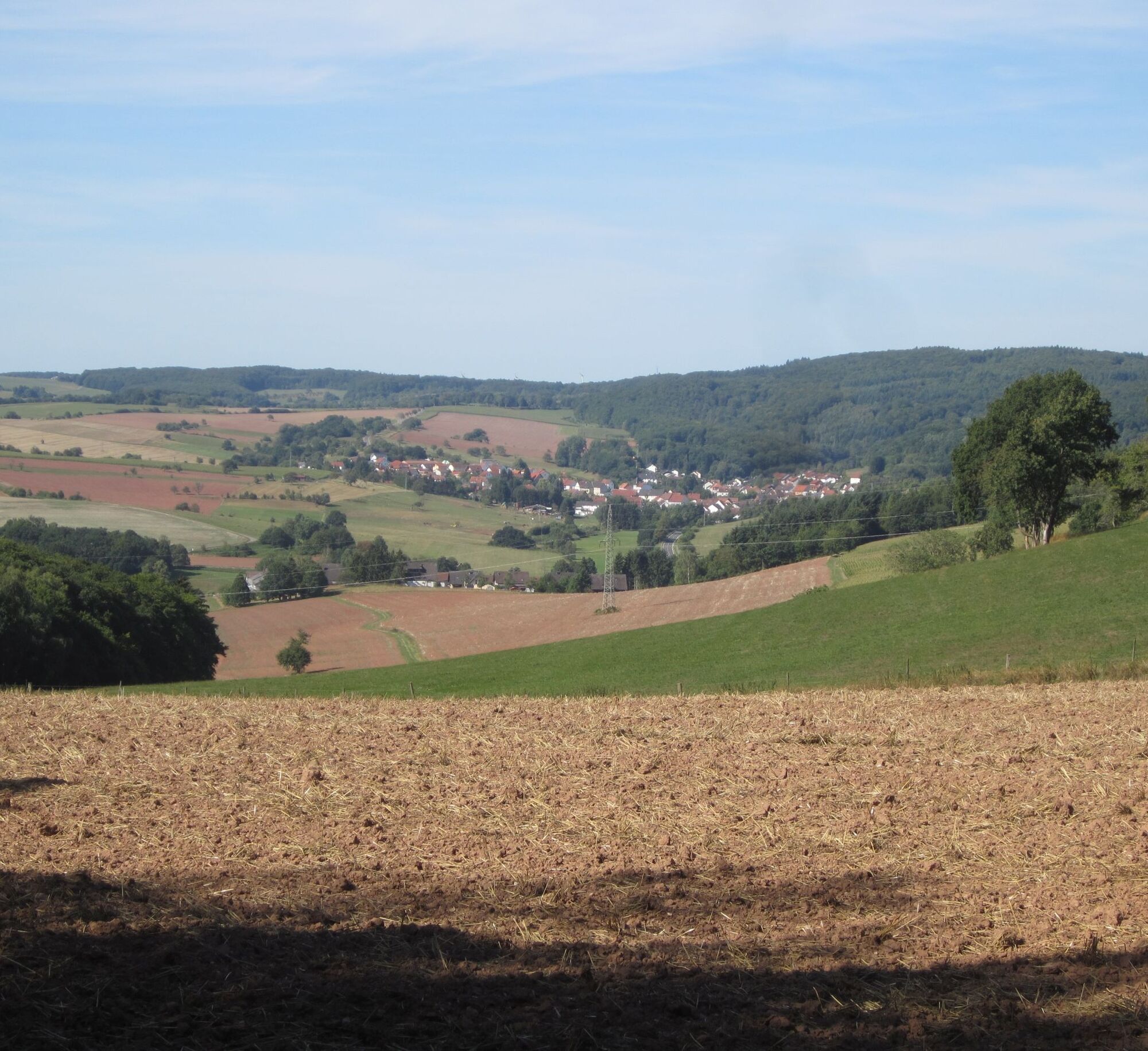

The circular route leads you through the western side of the Hodenbach valley and over wooded heights.
Sturdy footwear.
NOTE:
We strive to announce all closures due to forestry work, hunting groups, etc. on our hiking trails in the region on this platform.
However, there are situations where hiking trails are closed and we have not been informed.
Any hiker who walks through closed areas (barrier tape, “Caution hunting,” etc.), even on weekends, acts with gross negligence and is responsible for their own actions!
In natural paths, there may be muddy and slippery sections in adverse weather conditions.
We therefore recommend suitable footwear.
A 62 - exit Glan-Münchweiler.
B 423 near Henschtal.
Glan-Münchweiler train station.
Call taxi / bus 2983 - direction Brücken (0621 10 77 077 - pre-booking at least 1 hour before desired departure) ;
Parking lot behind the cemetery in 66909 Henschtal.
Coordinates: Longitude 7° 23´ 59´´ / Latitude 49° 27´ 48´´
Tourist Info Upper Glan Valley:
Rathausstraße 8, 66901 Schönenberg-Kübelberg, Tel.: 06373 / 504-0
Accommodation directory and gastronomy guide of the holiday region
via the Tourist Info: poststelle@vgog.de
Popularne wycieczki w okolicy
-
Bruchmühlbach-Miesau - Sagenhafter Waldpfad
średniWędrówka 17,8 km -
4,5
Fritz-Wunderlich Cycle Path
średniJazda na rowerze 26,1 km -
5,0
Börsborn - Muhleichenweg
średniWędrówka 11,3 km -
4,0
Börsborn - Von-der-Leyen-Weg
średniTrasa tematyczna 12,2 km -
Wingertsweiher Ottweiler
światłoWędrówka 8,82 km -
Kusel - Preußensteig
ciężkiWędrówka 25,6 km -
5,0
Wells Path
średniWędrówka 14,7 km -
Waldmohr - Circular route loading ramp
światłoWędrówka 6,40 km -
Altenkirchen - Cherry Land Path (circular route - 22.6 km)
ciężkiTrasa tematyczna 22,5 km -
4,0
Steinberg Runde
średniWędrówka 4,71 km
Wędrówki i tropienie


Nie przegap ofert i inspiracji na następne wakacje
Twój adres e-mail została dodana do listy mailingowej.





