







Waldmohr - Circular route loading ramp
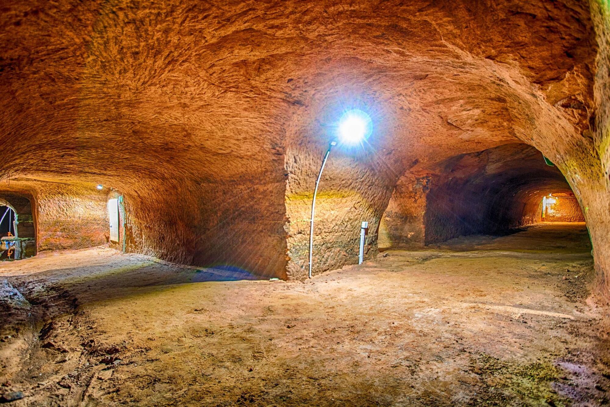
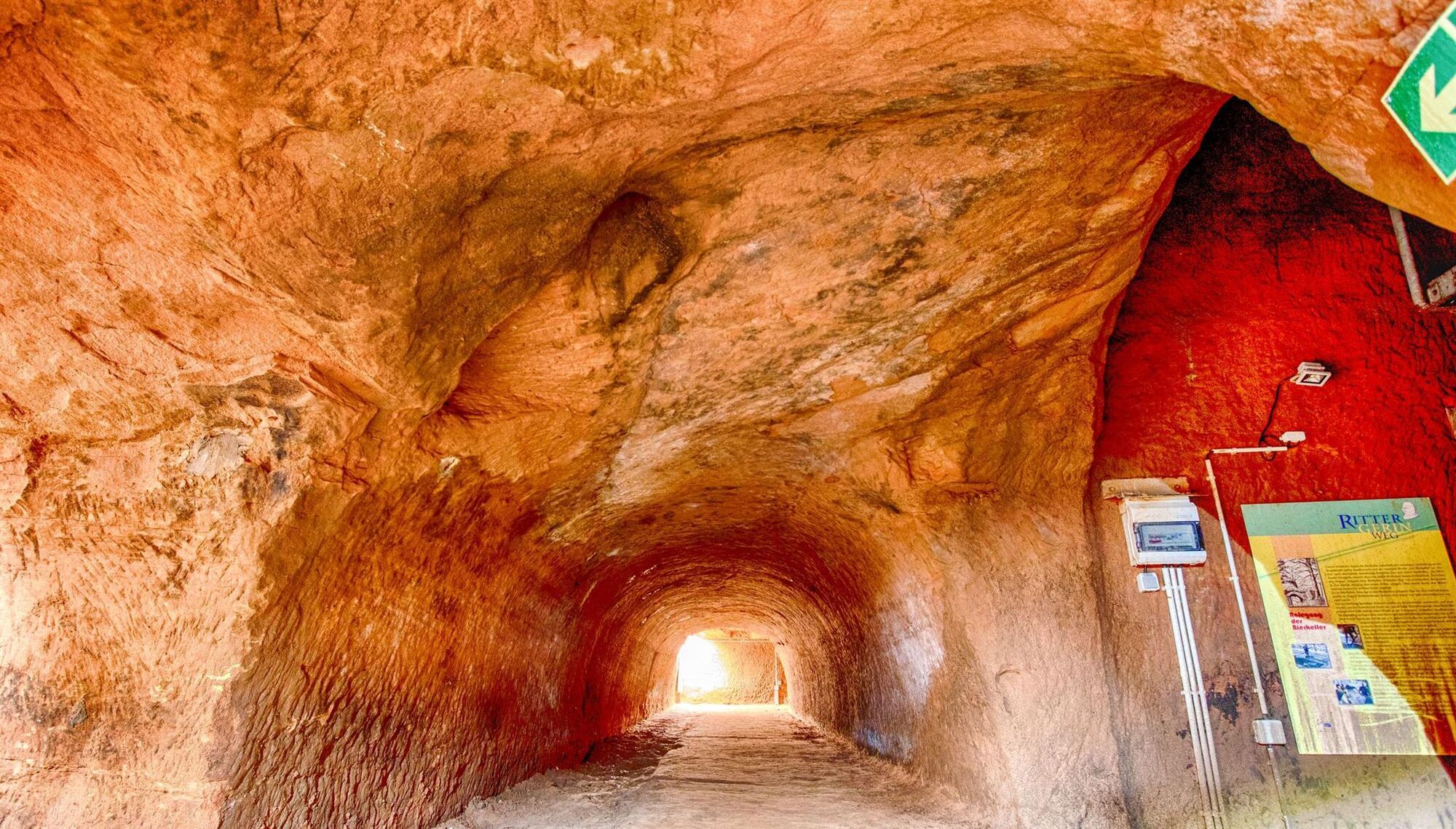
At Dörrbergweiher there are still remnants of the old tank barrier of the Westwall. In the forest on the right, the entrance to the filled mine tunnel is visible, further left in a clearing the dam slip...
At Dörrbergweiher there are still remnants of the old tank barrier of the Westwall. In the forest on the right, the entrance to the filled mine tunnel is visible, further left in a clearing the dam slip is visible. There and at the loading point, you can find barren rock with various fossil imprints from the Carboniferous period. After crossing the Branschbach, upstream – off the hiking trail – there is a former tunnel entrance of the Nordfeld mine.
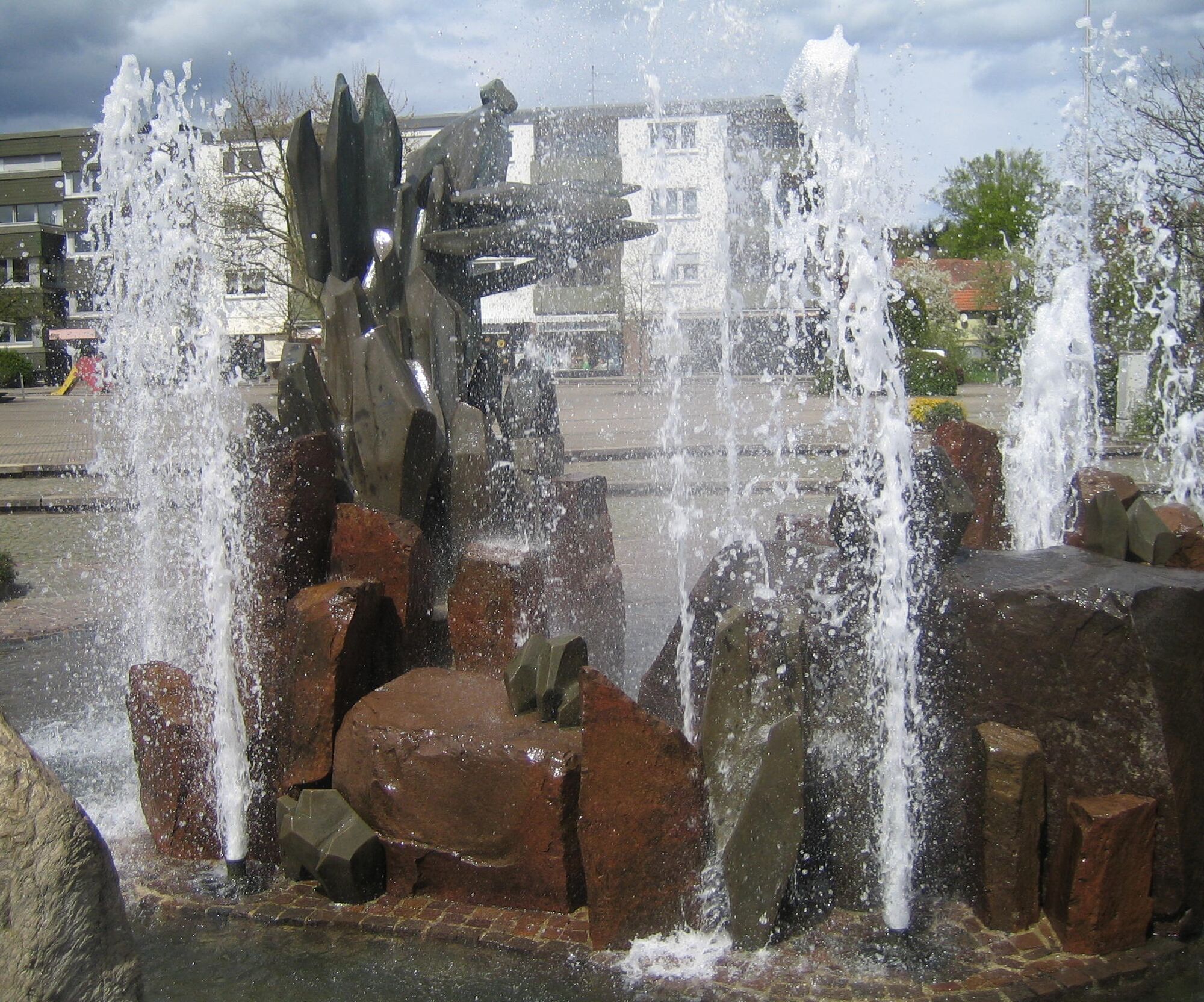
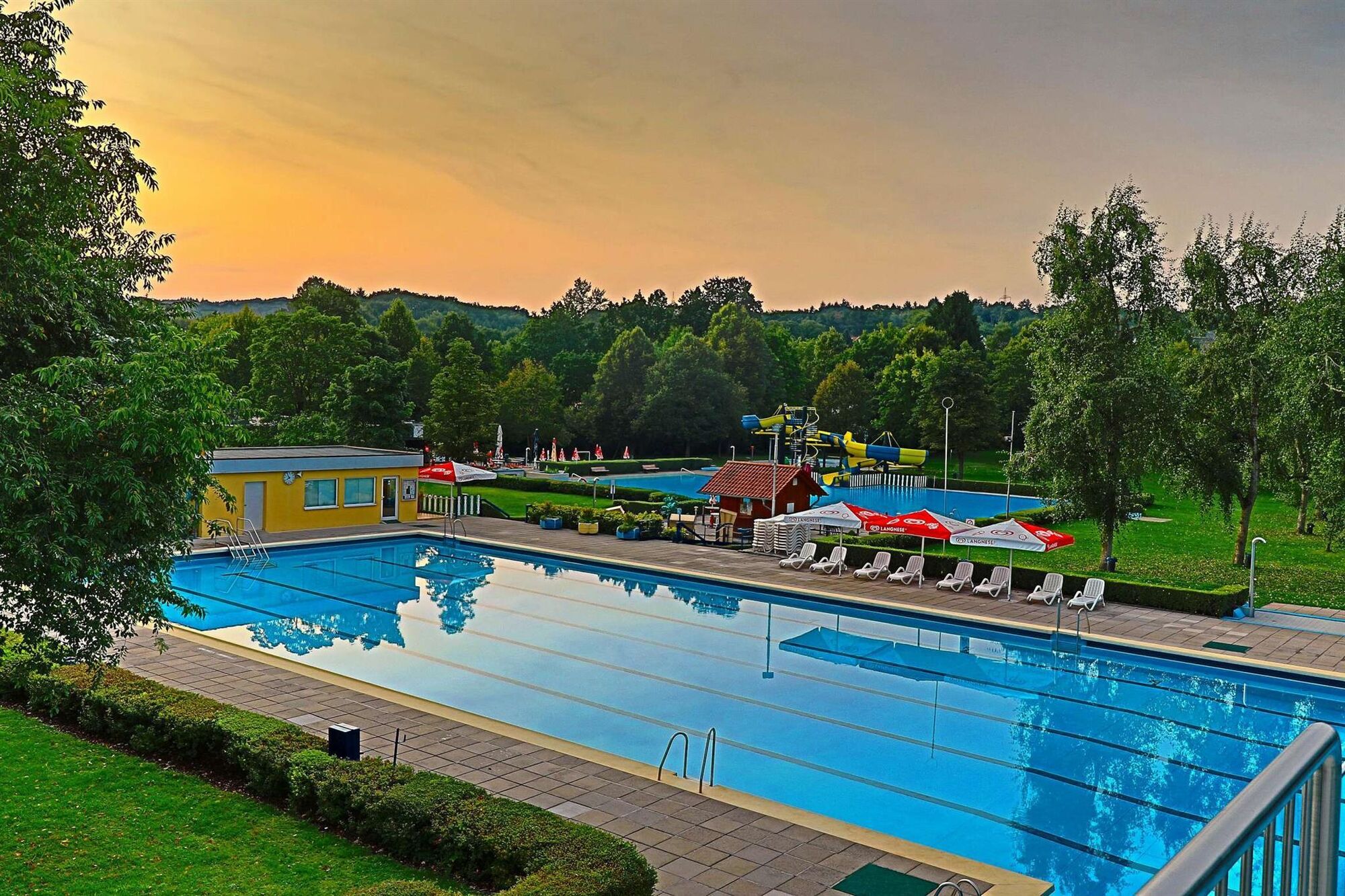
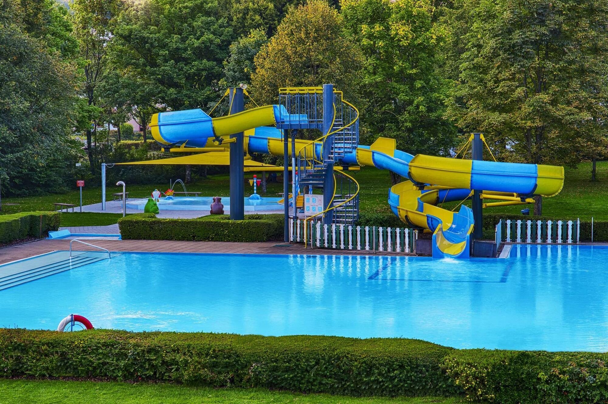
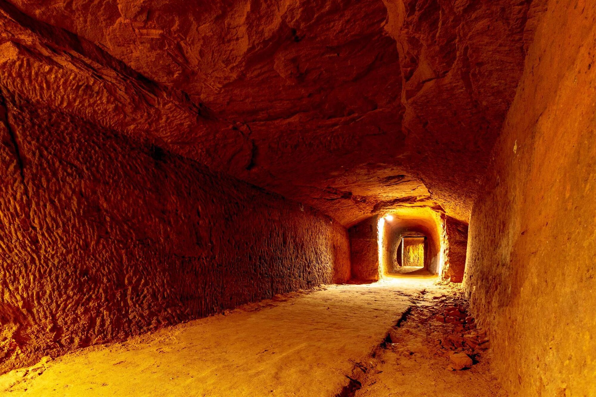
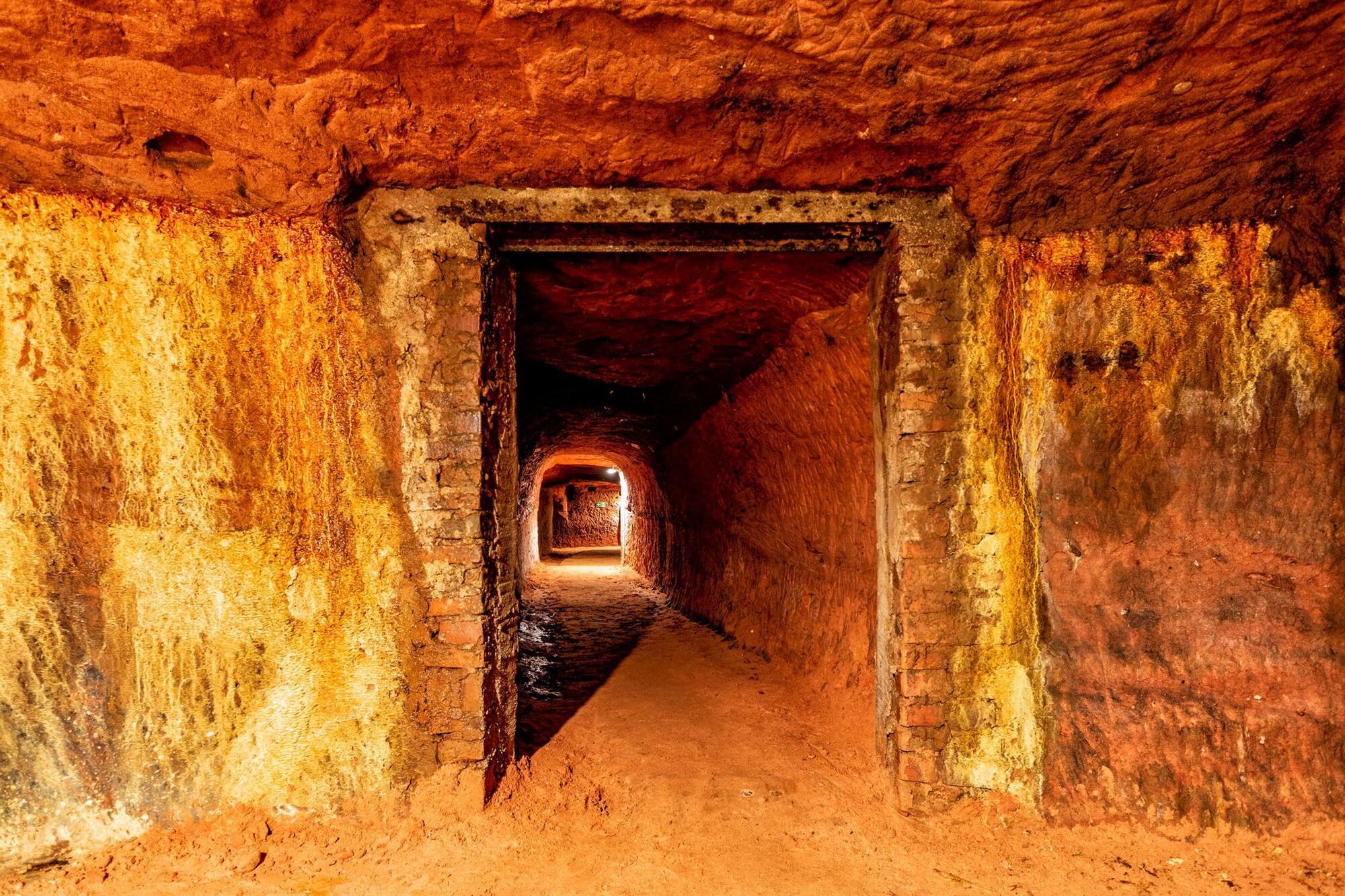
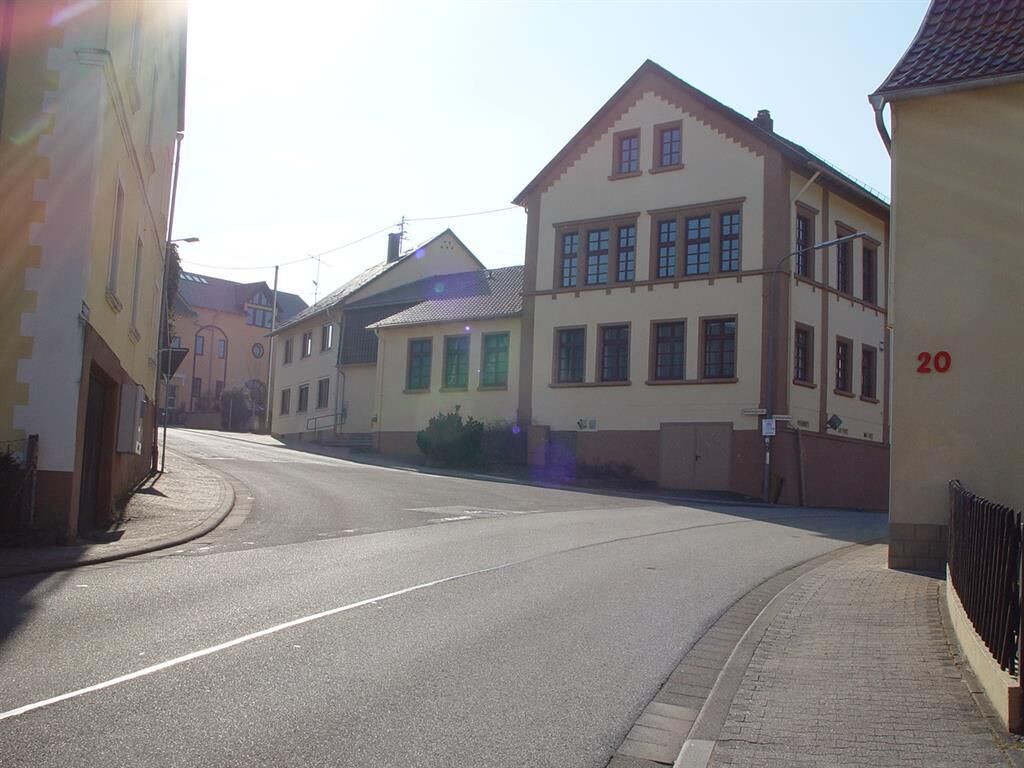
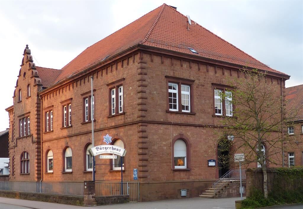
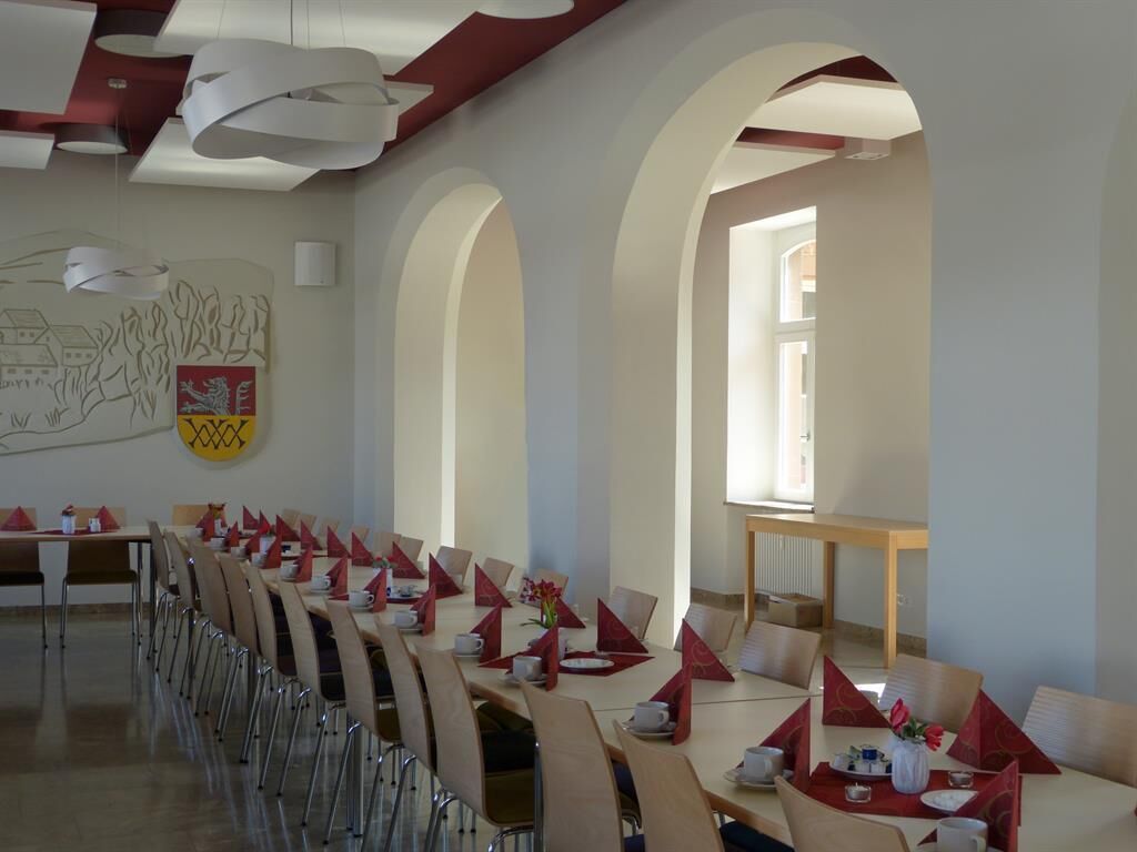
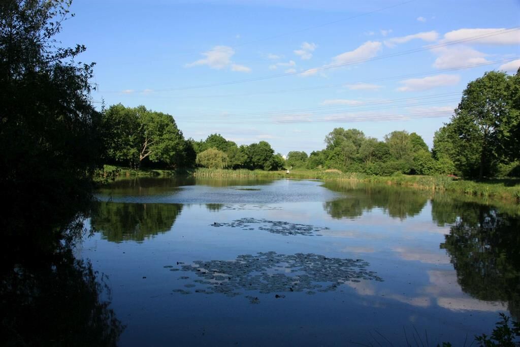
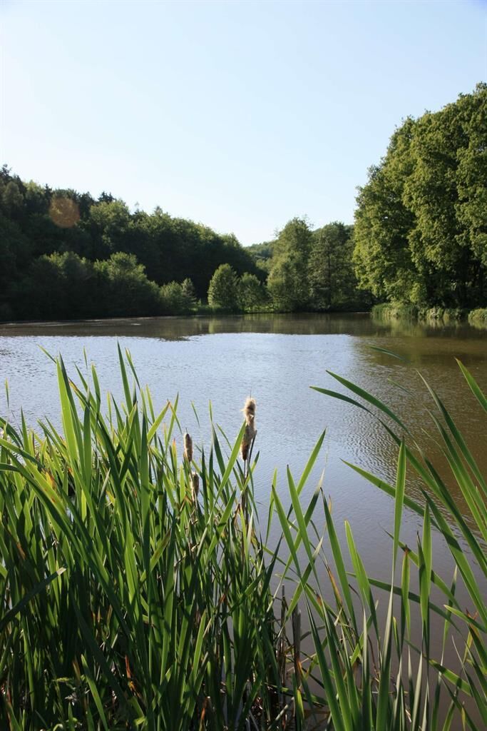
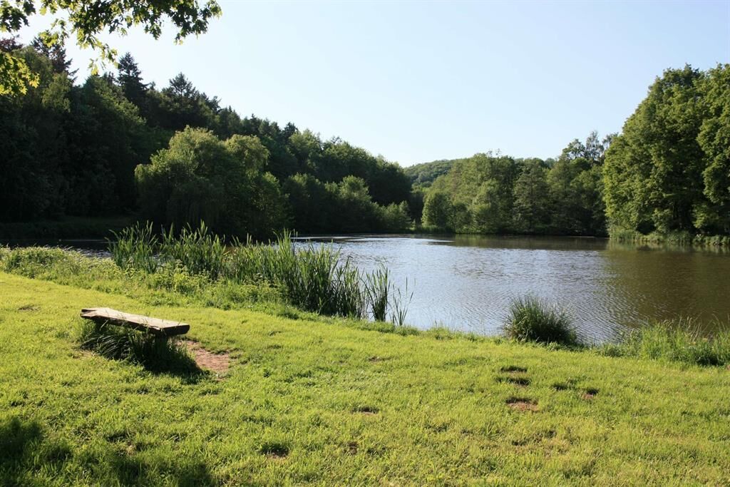
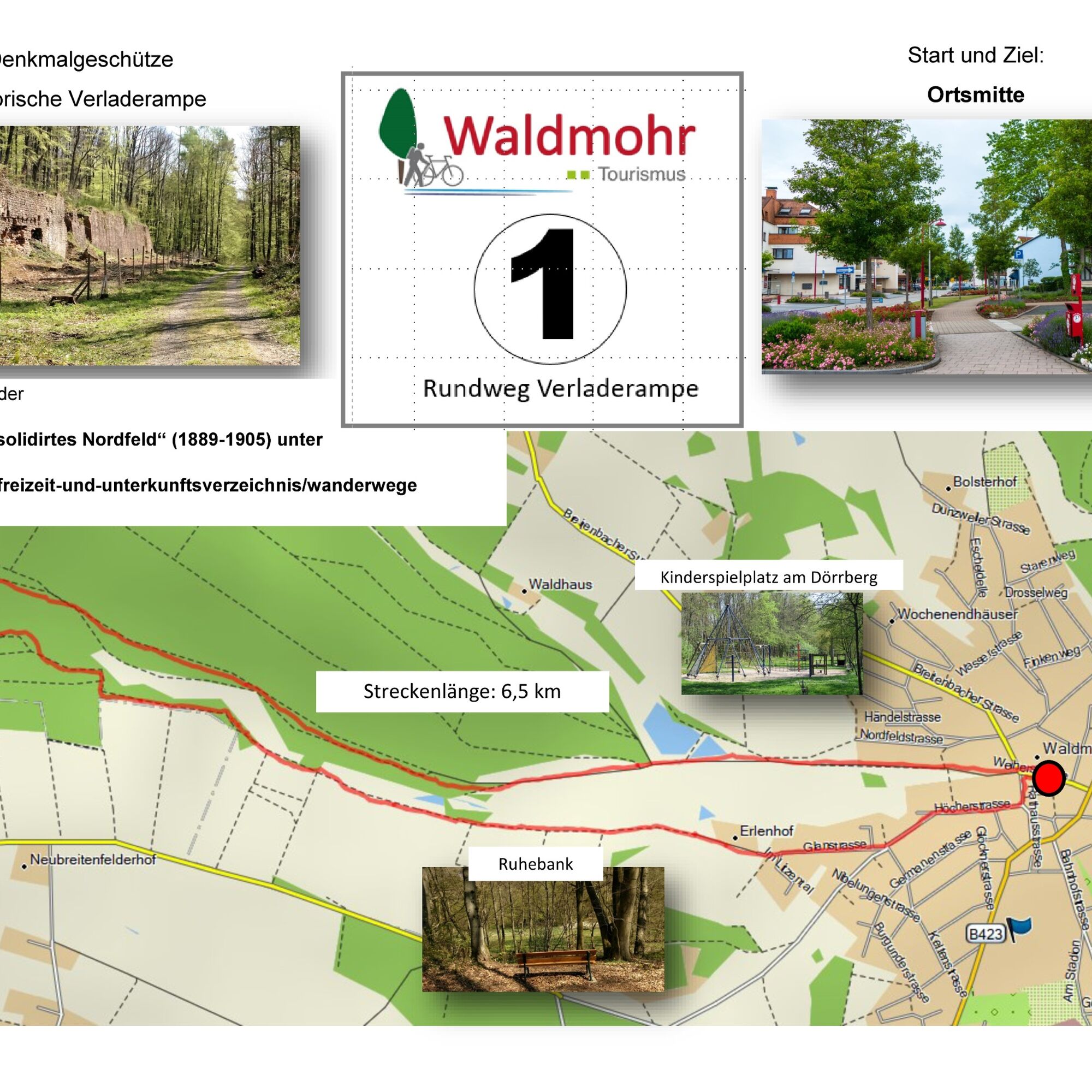

Village center * Dörrberg * Poplar Avenue * Loading (on the right the former loading ramp = facility of the Nordfeld mine) * at the end of the Nordfeld railway embankment over the Branschbach to the left to the Schipp * after about 300 m over a wooden footbridge (Glan) * downstream through the Warbach * past the fish ponds * past the Erlenhof * through Glanstraße and Höcher Straße to the village center of Waldmohr.
Tak
Tak
Tak
Sturdy footwear
NOTICE:
We strive to announce all closures caused by forestry work, hunting groups, or similar on our hiking trails in the region on this platform.
Nevertheless, there are situations where hiking trails are closed and we have not been informed.
Any hiker who walks through closed areas (tape marking, "Caution Hunting" etc.), even on weekends, is grossly negligent and responsible for their own actions!
On natural paths, adverse weather conditions can cause muddy and slippery sections. Leaves, unevenness, roots, stones, or holes in the path are therefore part of a nature-true forest path. We therefore always recommend suitable sturdy footwear.
A6 - Waldmohr exit
Bus stop village center Waldmohr, main station Homburg Saar,
Information and timetables at www.vrn.de
Walter K. Hanß Square, (Bruchstraße).
Coordinates: 7° 20' 8" / latitude 49° 23' 18"
Village center, at the marketplace (Weiherstraße / Bruchstraße).
Coordinates: longitude 7° 20' 3" / latitude 49° 23' 17"
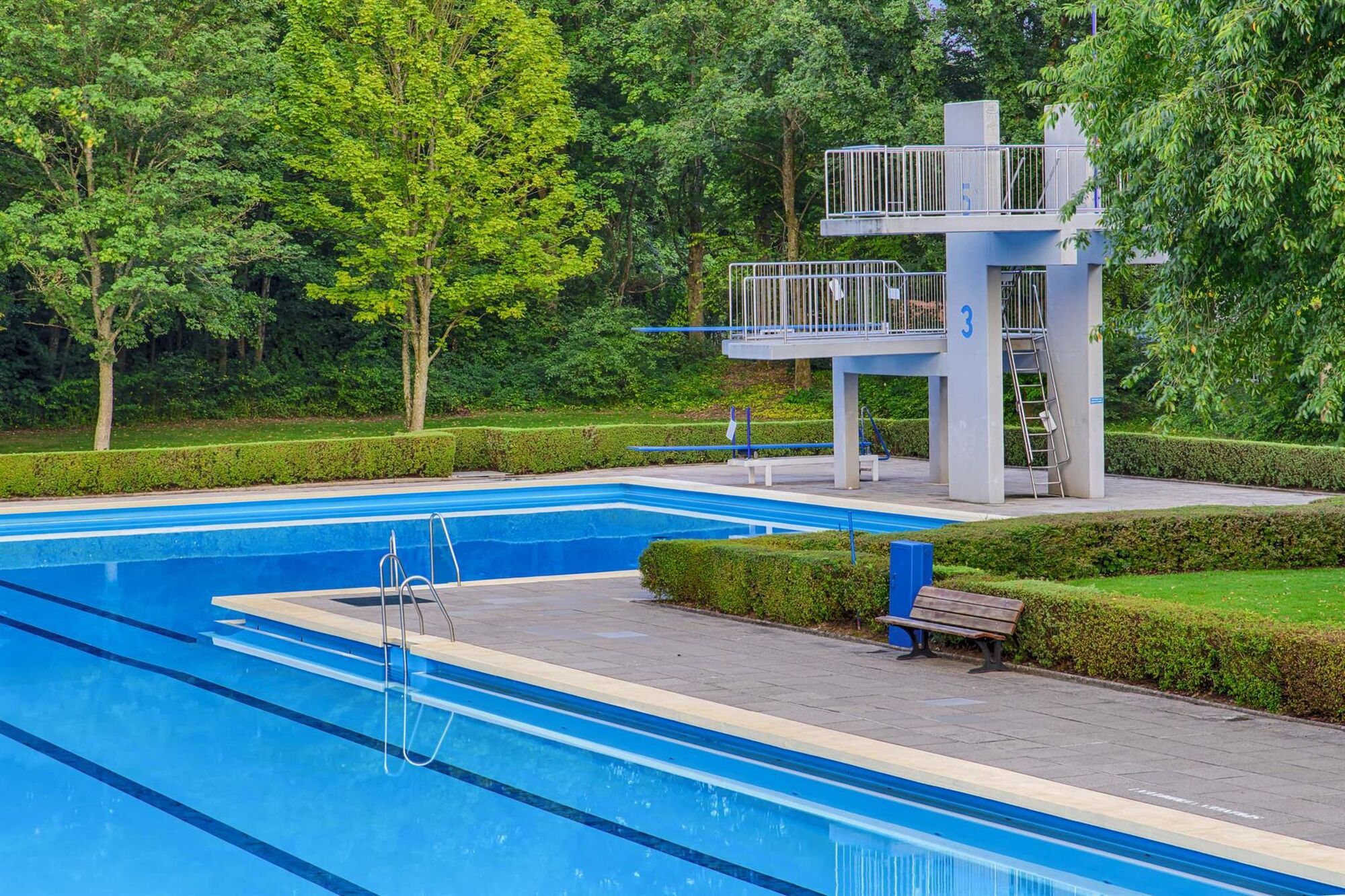
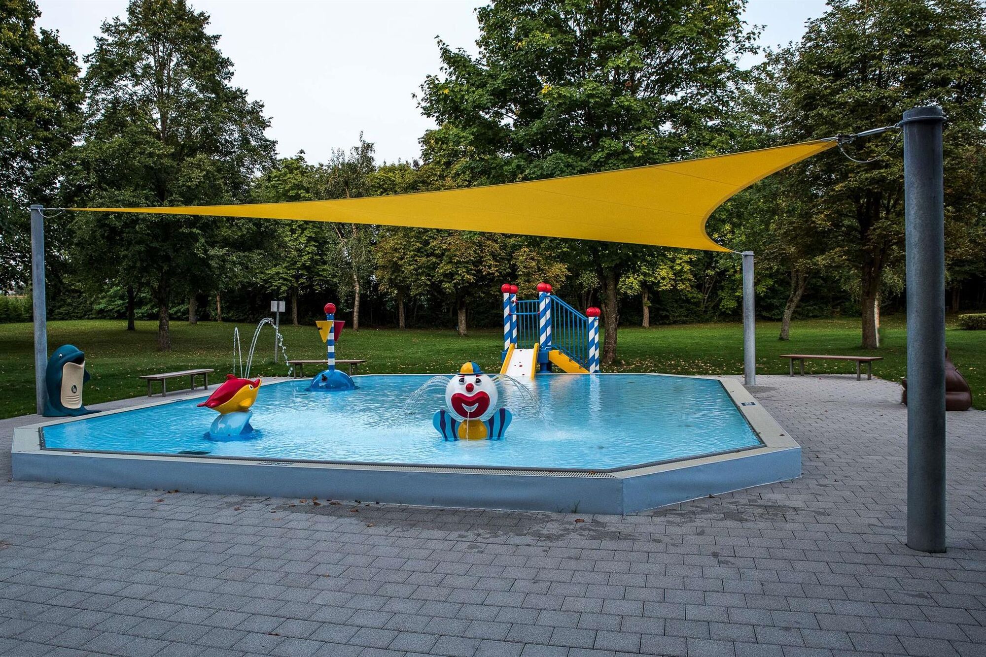
The newly laid out playground at Dörrbergweiher invites you to linger.
Refreshment / resting options :
Ice cream café Primavera, At the marketplace 5, 66914 Waldmohr
Civic center Waldmohr, Saarpfalzstraße 12, 66914 Waldmohr
Contact person: Local community Waldmohr
Contact: Verbandsgemeindeverwaltung Waldmohr, Rathausstraße 14, 66914 Waldmohr, Tel: 06373-5030
Saar-Pfalz Festival (weekend on the last Sunday in August)
Saarland Day (always on the Saarland holiday on August 15th)
Popularne wycieczki w okolicy
-
Bruchmühlbach-Miesau - Sagenhafter Waldpfad
średniWędrówka 17,8 km -
5,0
Kirkeler Felsenpfad
średniWędrówka 4,63 km -
5,0
`Kirkeler Tafeltour´
średniWędrówka 8,53 km -
5,0
Börsborn - Muhleichenweg
średniWędrówka 11,3 km -
5,0
Panoramatrail Ottweiler
średniTrailrunning 13,1 km -
4,0
Börsborn - Von-der-Leyen-Weg
średniTrasa tematyczna 12,2 km -
Wingertsweiher Ottweiler
światłoWędrówka 8,82 km -
5,0
Mountain bike route 3 - Route Spoil Tip Reden
średniMountainbike 32,5 km -
5,0
Tiefenbach Creek Path
średniWędrówka 15,4 km -
5,0
Wells Path
średniWędrówka 14,7 km
Wędrówki i tropienie


Nie przegap ofert i inspiracji na następne wakacje
Twój adres e-mail została dodana do listy mailingowej.





