© Julia Bingeser, FVZV Pfälzer Bergland - FVZV Pfälzer Bergland; Julia Bingeser

© VG Kusel - Claudia Sonnenberg

© Zum Wohl. Die Pfalz. - Julia Bingeser

© Zum Wohl. Die Pfalz. - Julia Bingeser

© Zum Wohl. Die Pfalz. - Julia Bingeser

© Zum Wohl. Die Pfalz. - Julia Bingeser

© Zum Wohl. Die Pfalz. - Julia Bingeser

© Zum Wohl. Die Pfalz. - Julia Bingeser

© FVZV Pfälzer Bergland - Dominik Ketz

- Krótki opis
-
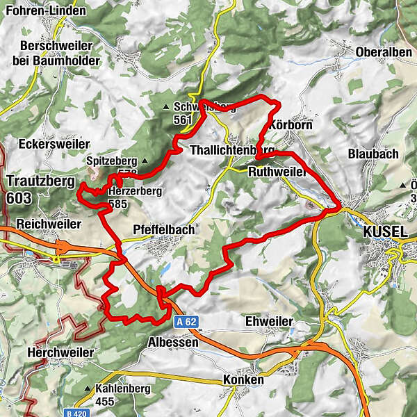
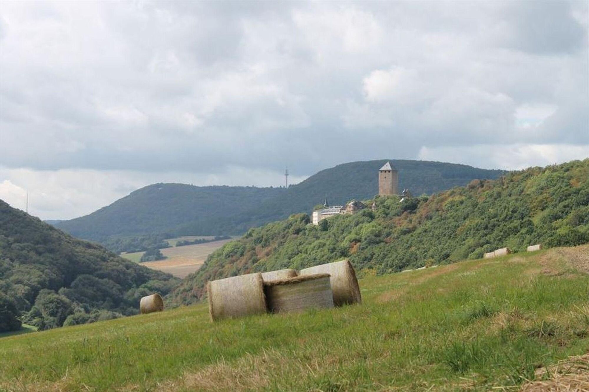
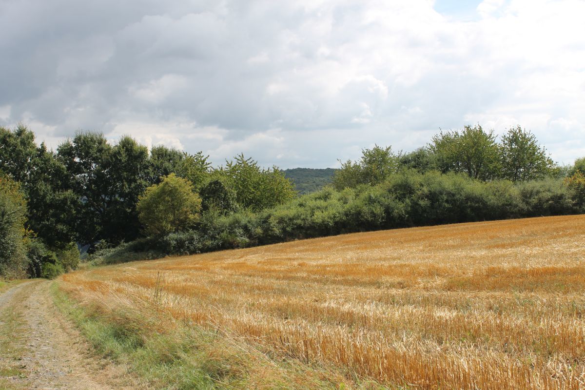
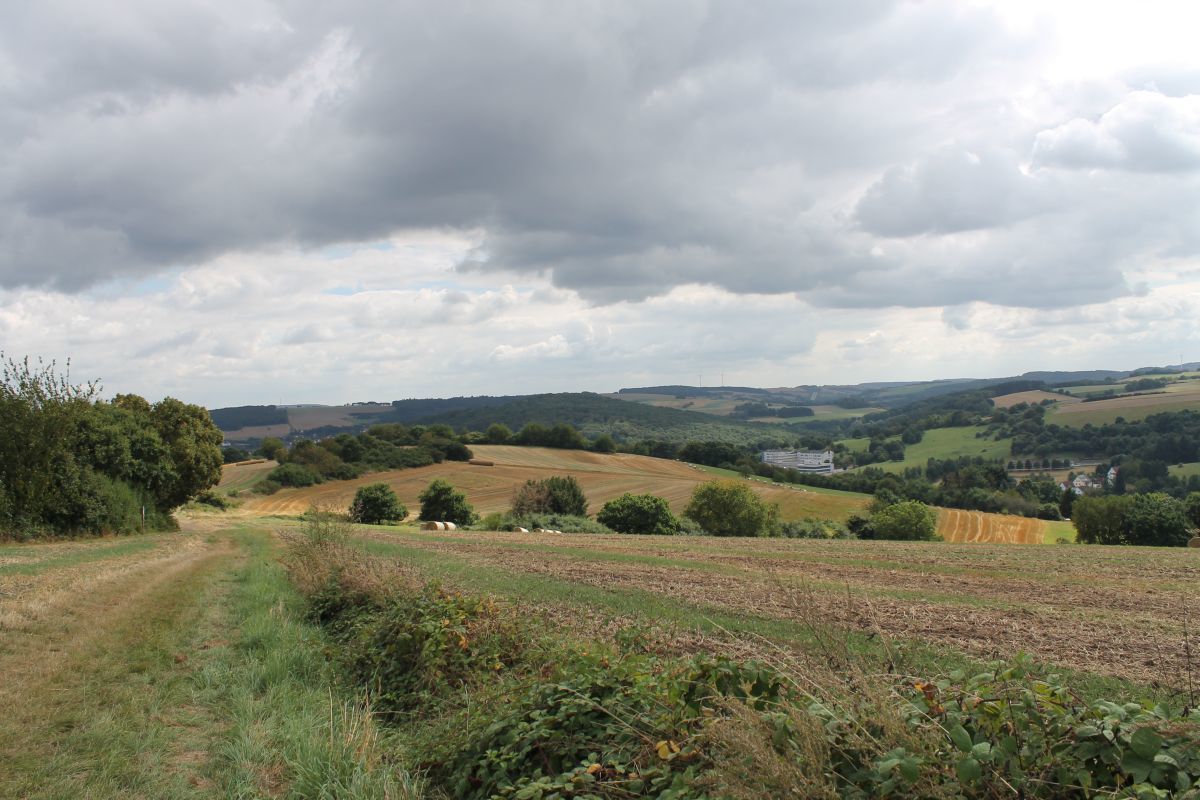
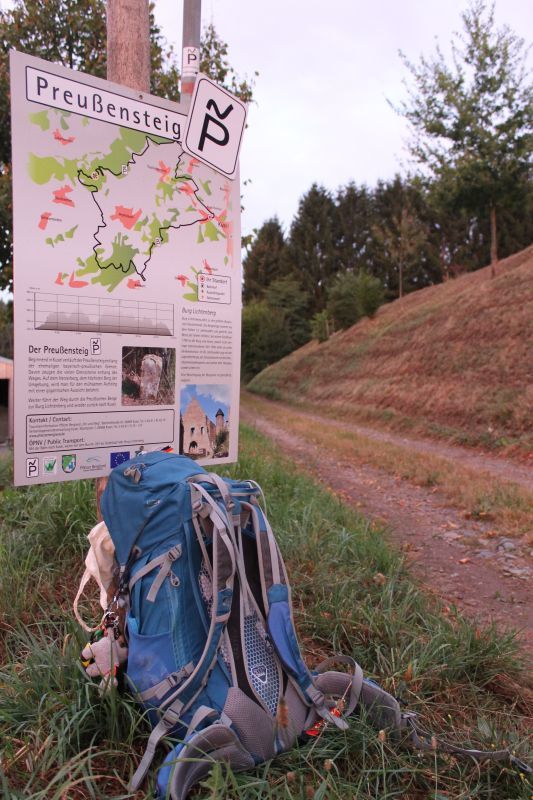
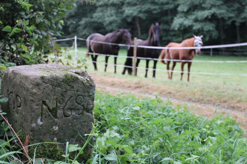
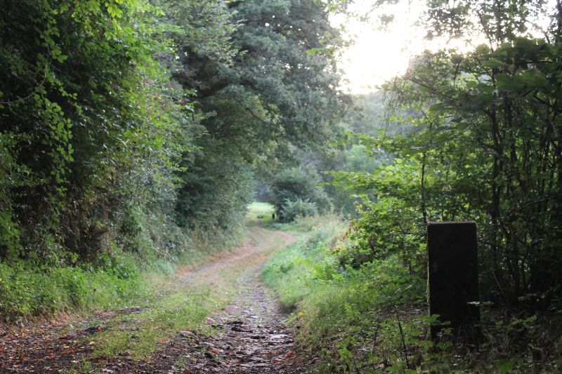
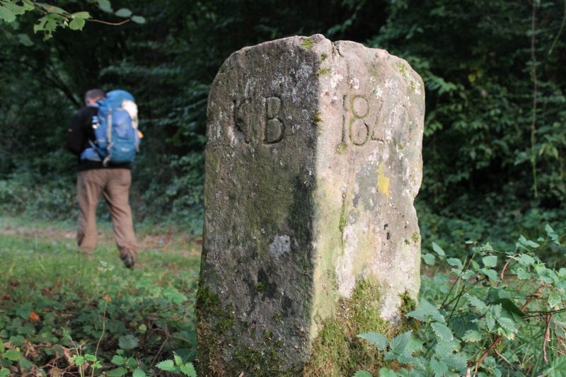
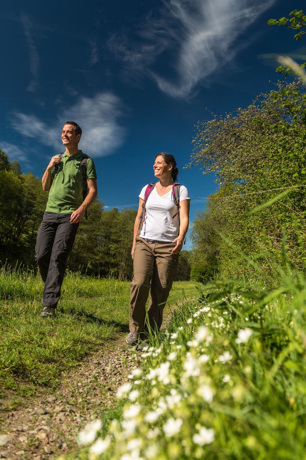
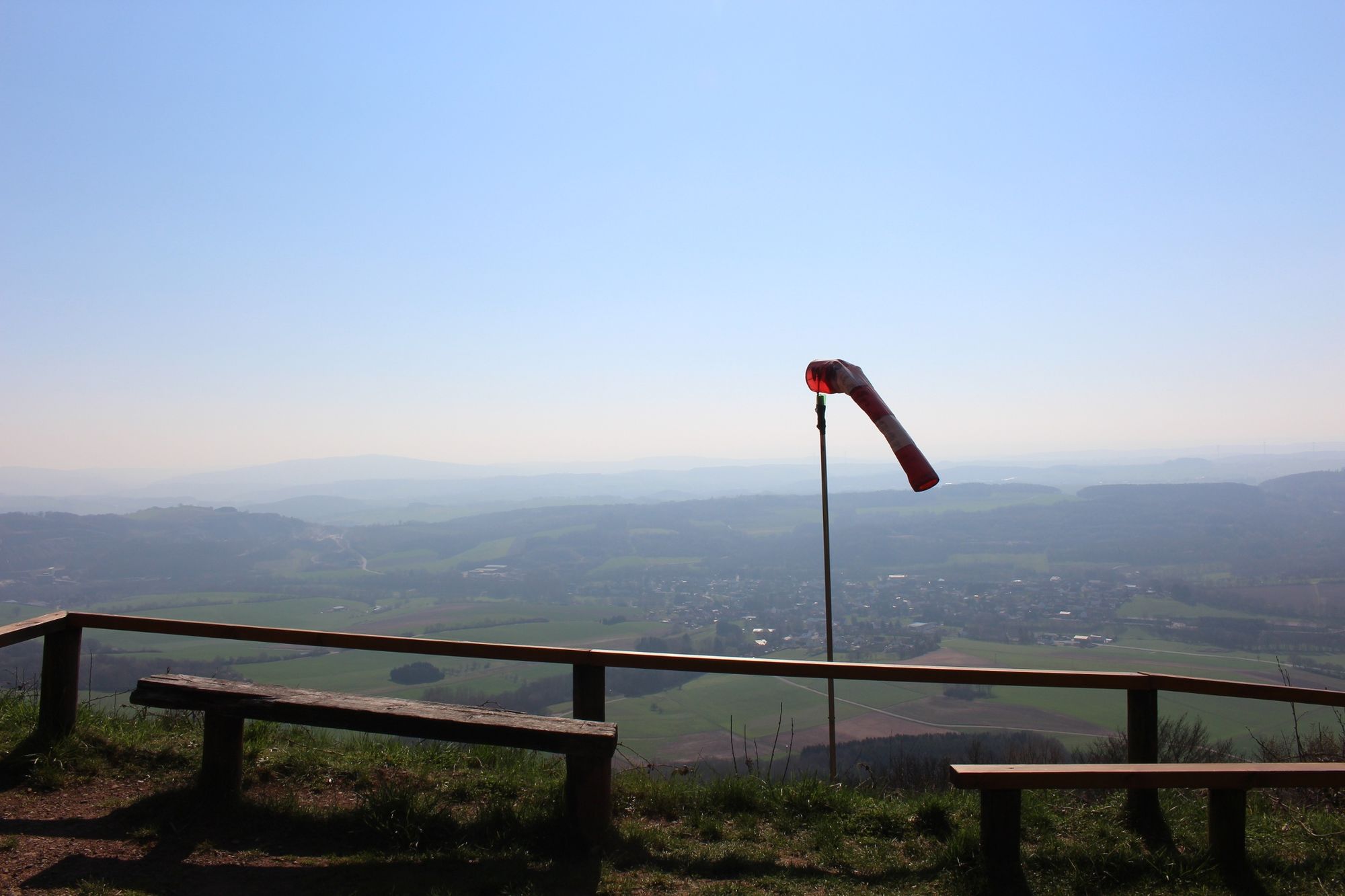
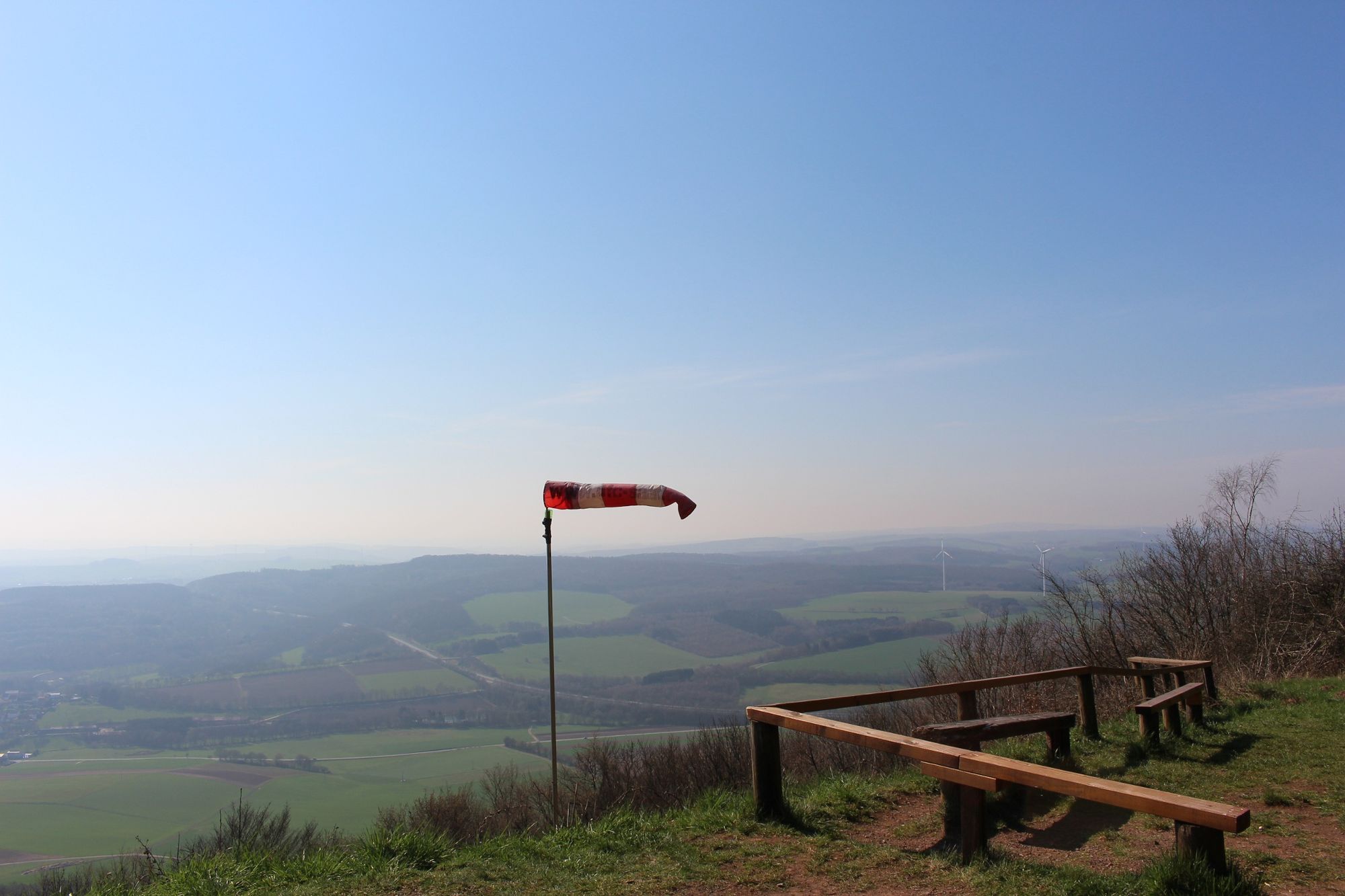
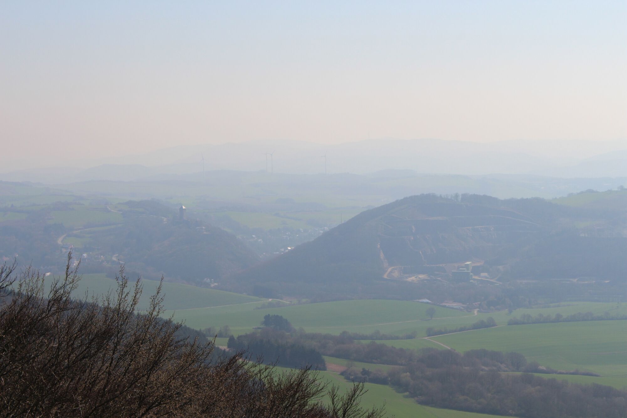
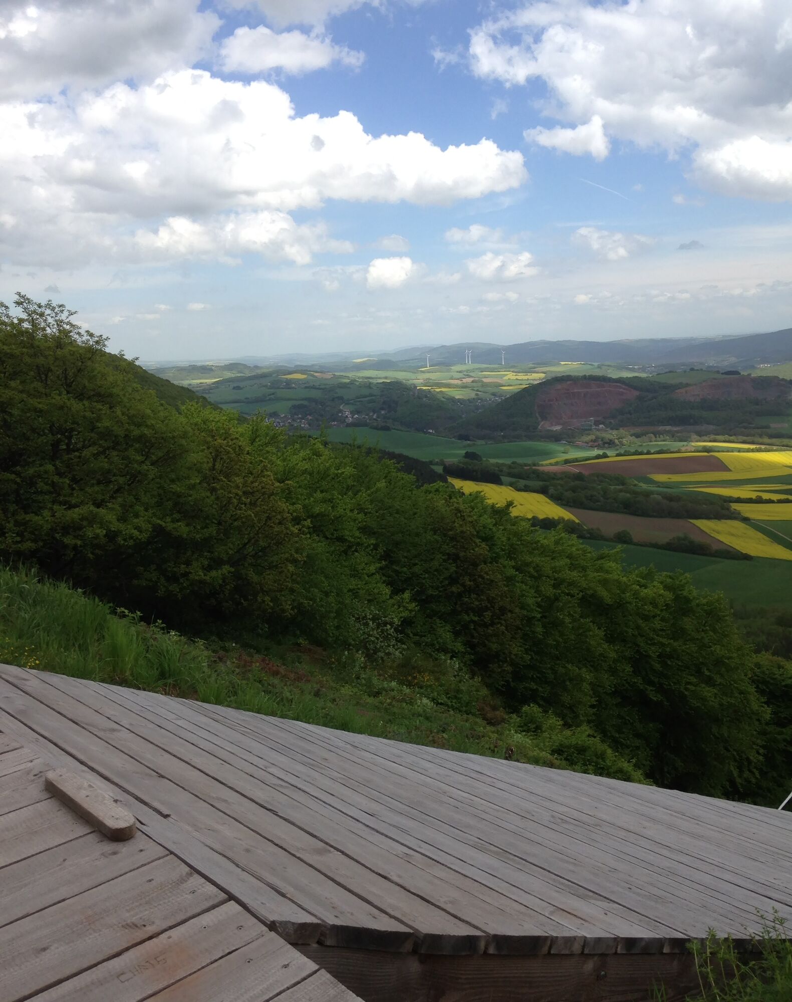
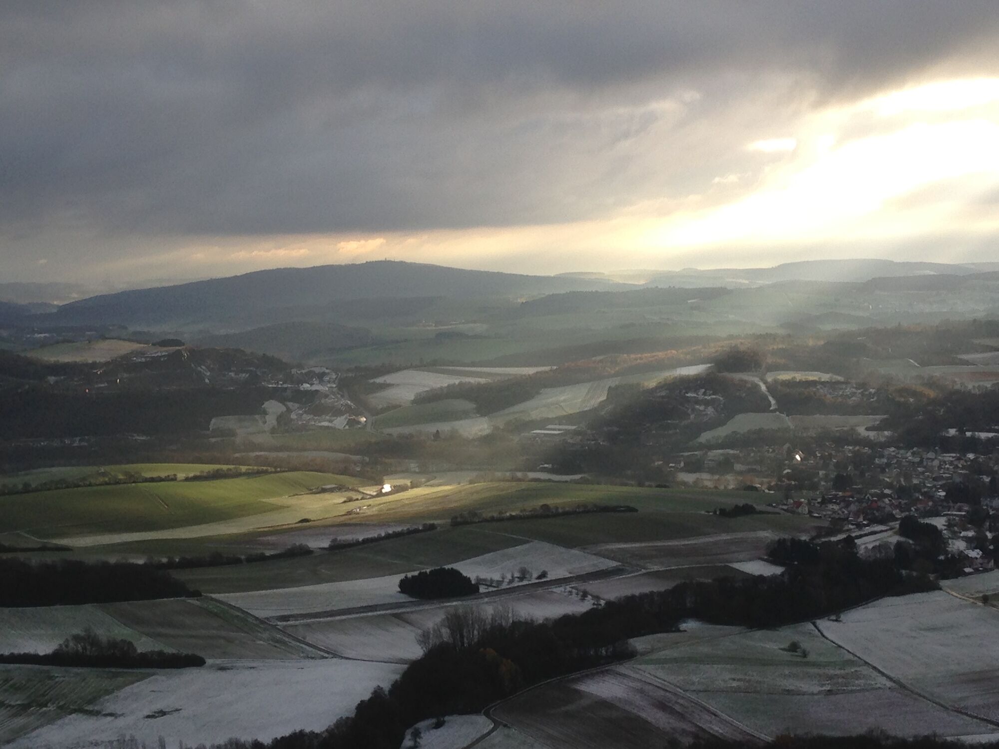
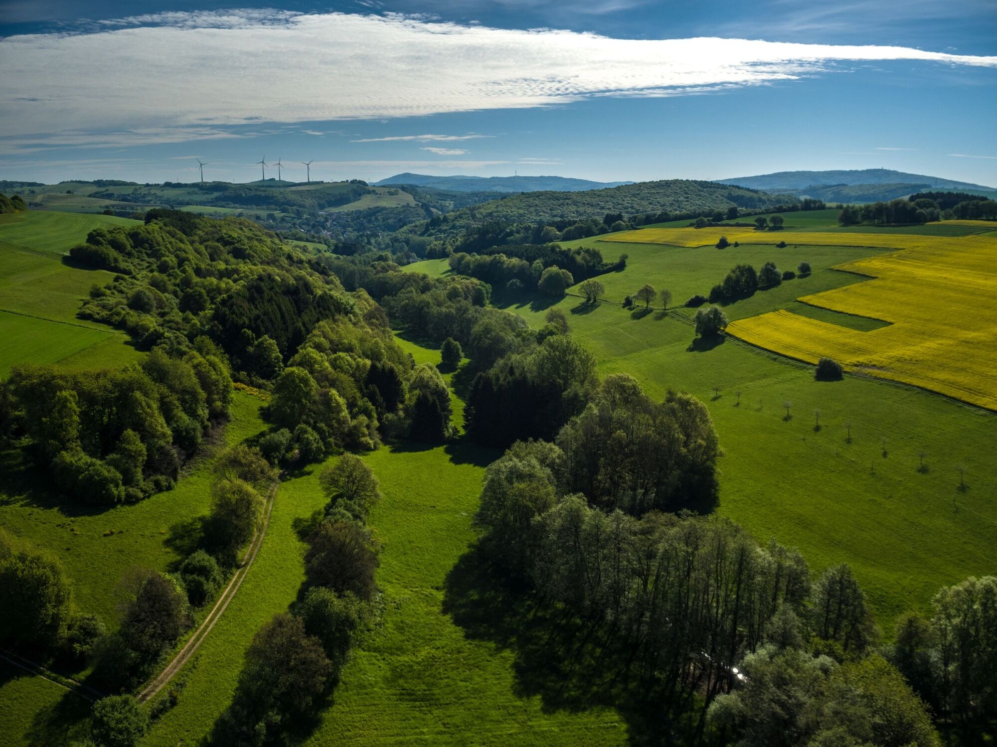
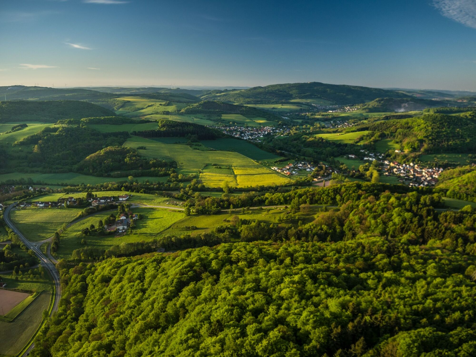
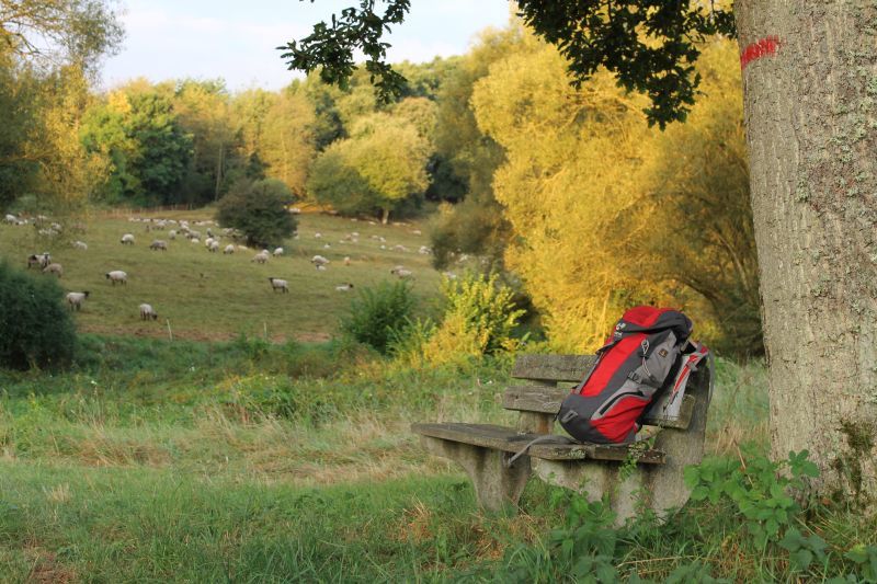
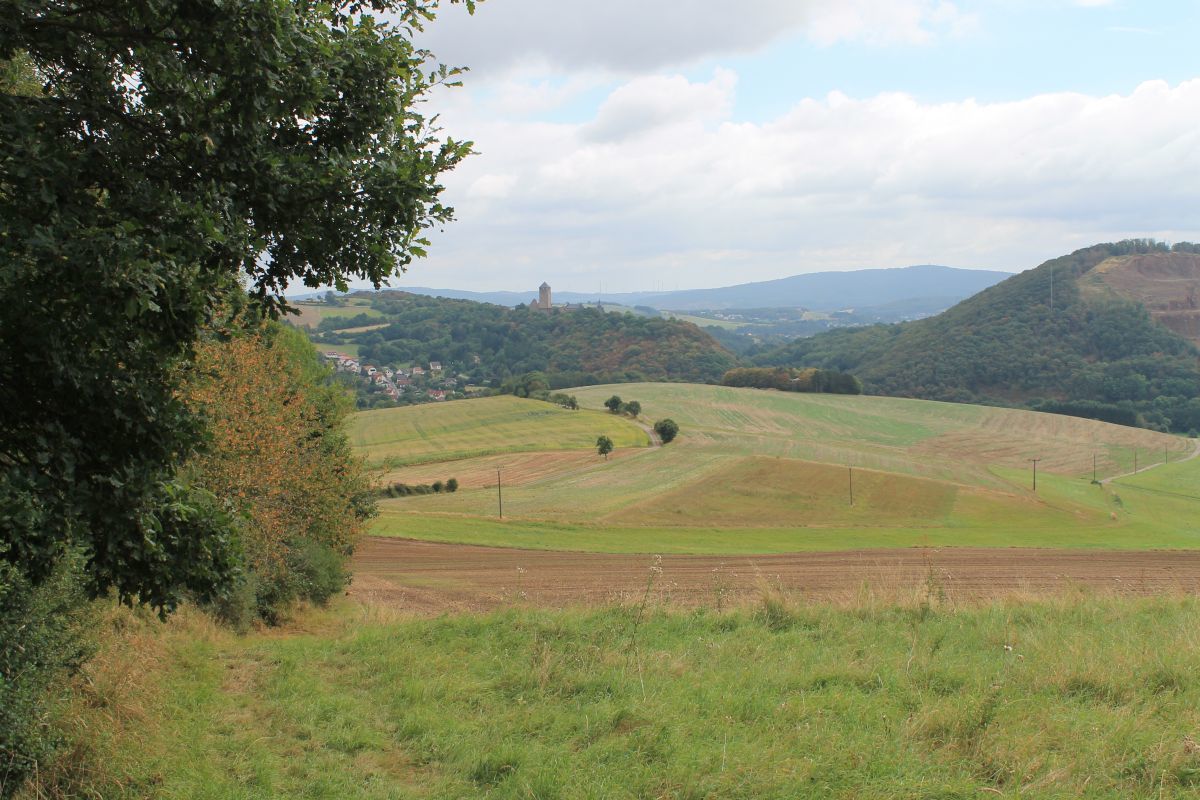
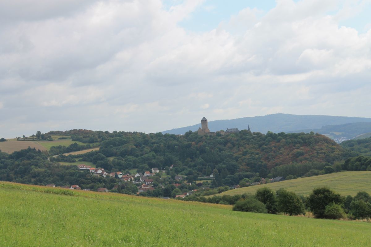
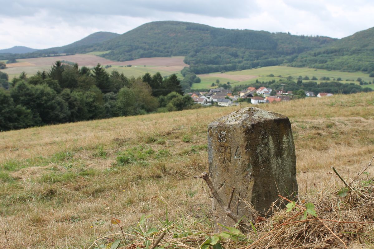
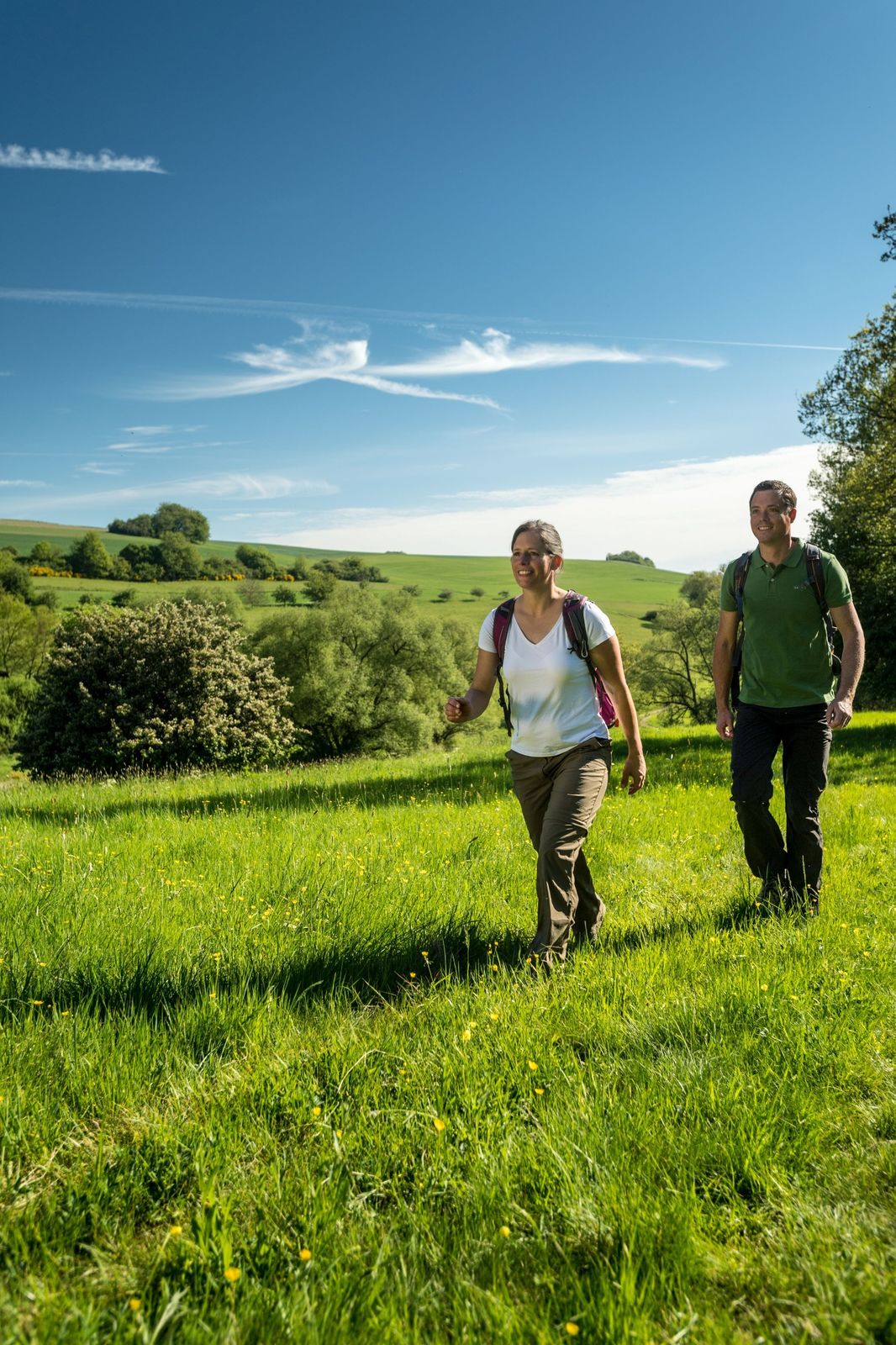
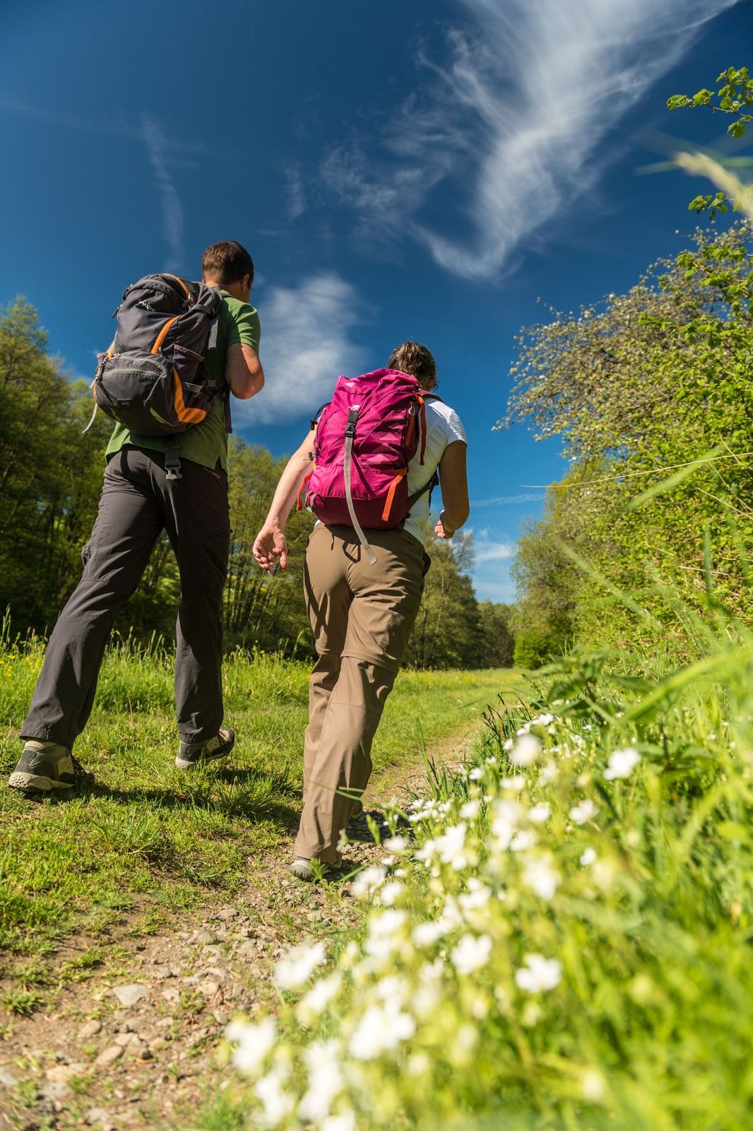
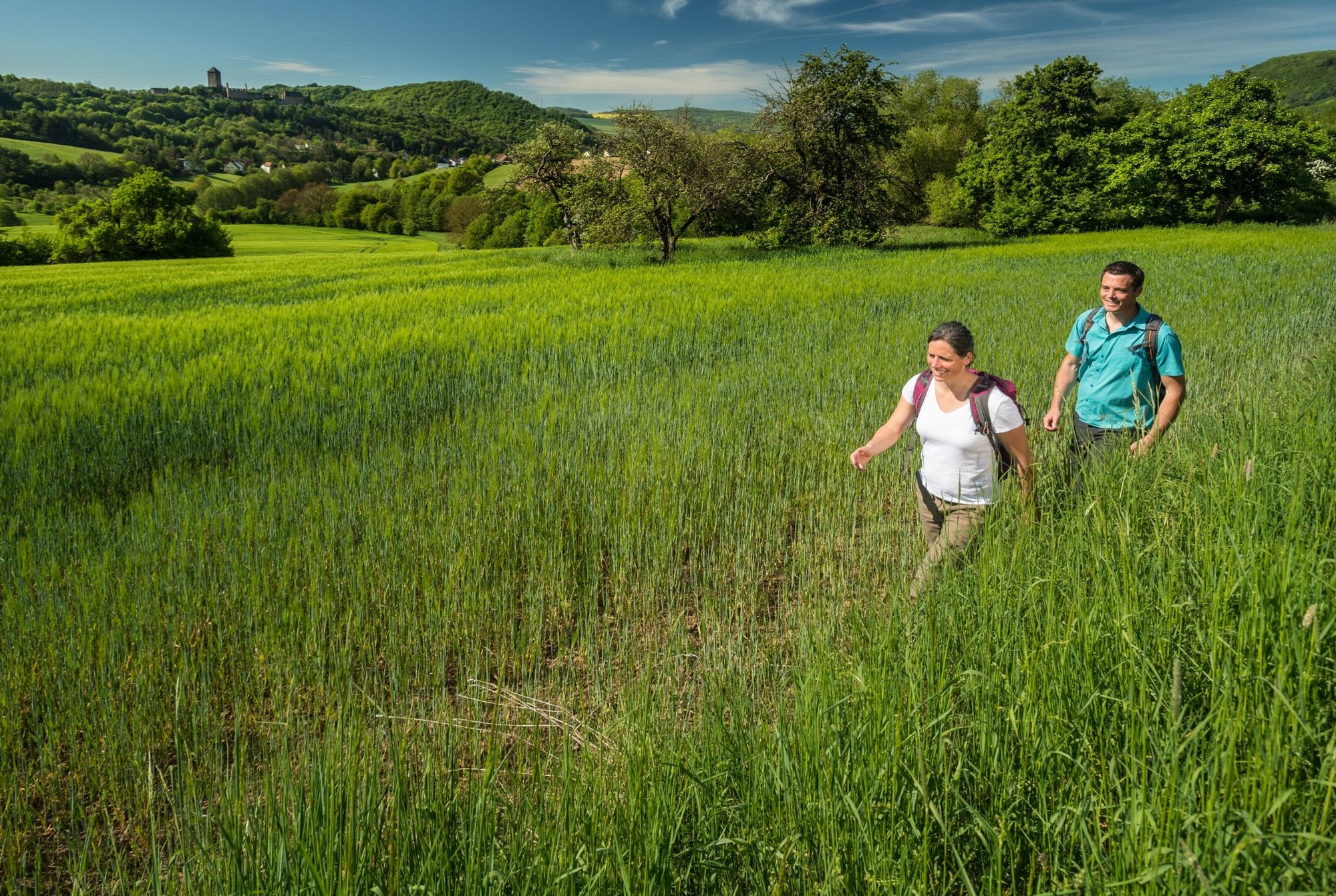
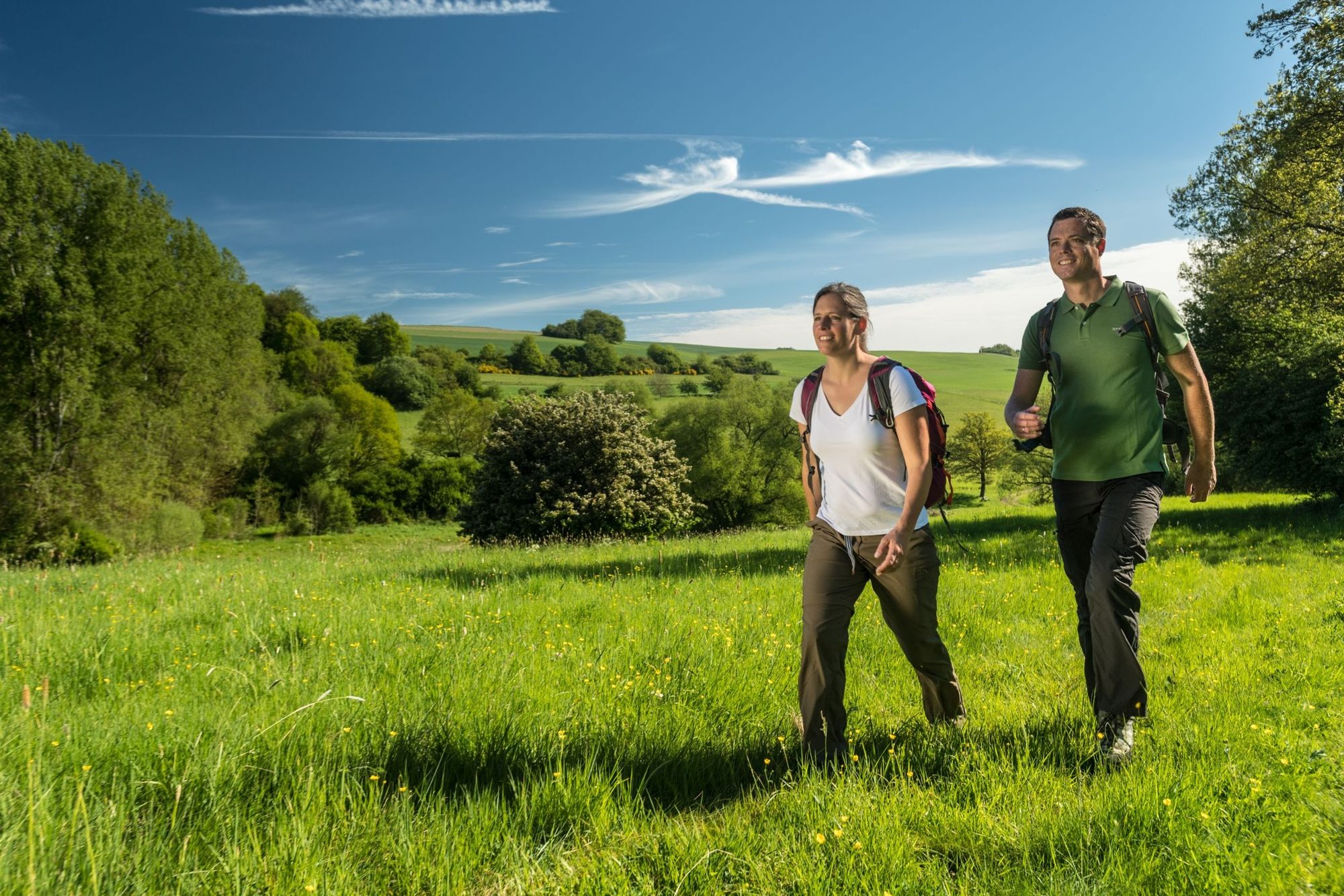
High up, along idyllic grasslands and forest paths, you are on the Preußensteig , which offers fantastic views along the former Prussian-Bavarian border. There are many historical boundary stones and the highest mountain in the Kusel district, the Herzerberg, is also a good place for watching hang-gliders .
- Stopień trudności
-
ciężkie
- Ocena
-
- Trasa
-
Herzerberg (585 m)8,3 kmSalzquelle22,8 km
- Najlepszy sezon
-
stylutmarkwimajczelipsiewrzpaźlisgru
- Najwyższy punkt
- 571 m
- Miejsce docelowe
-
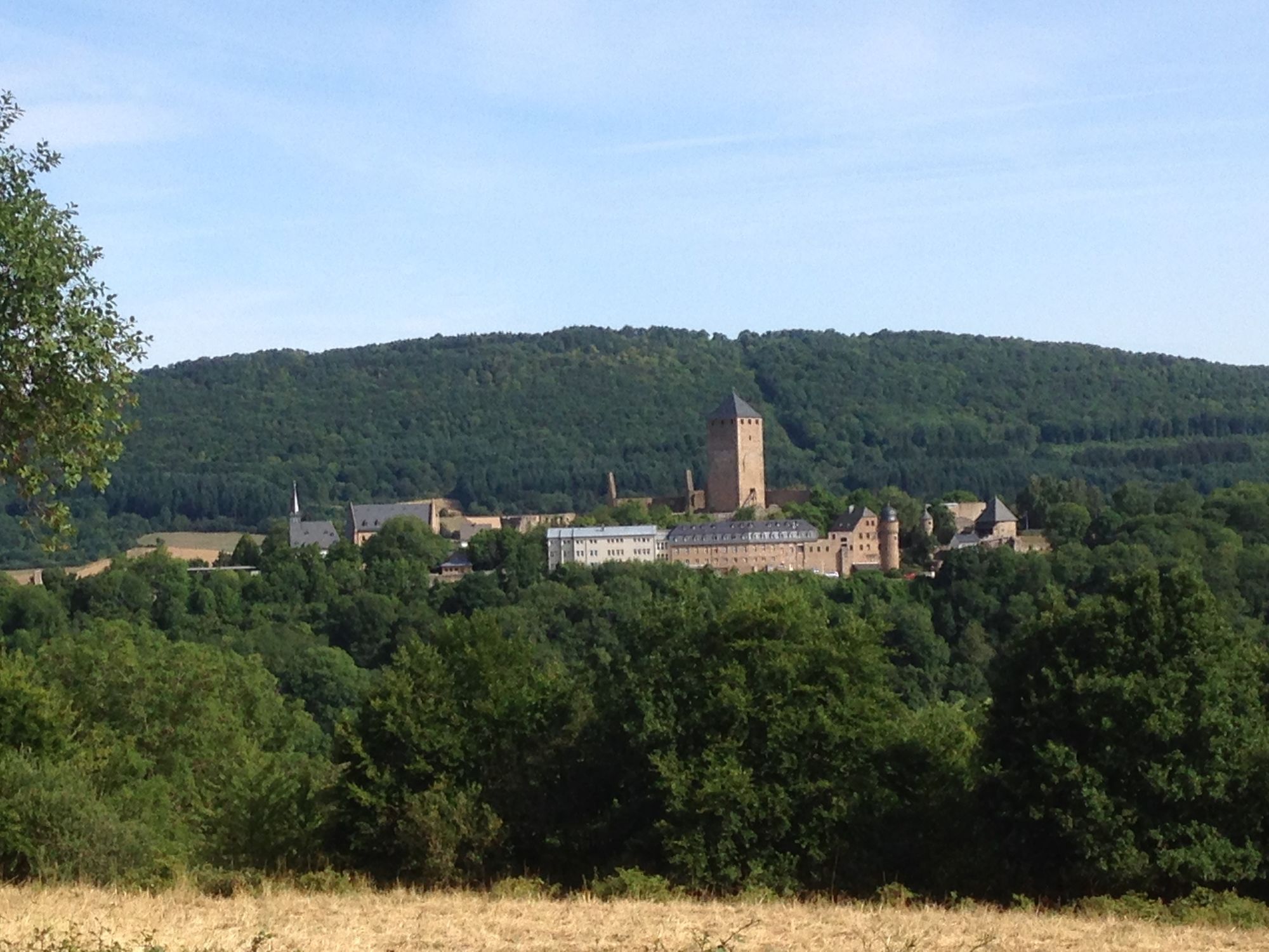
Lichtenberg Castle, Burgstraße 12, 66871 Thallichtenberg
- Profil wysokości
-
 © outdooractive.com
- Autor
-
Wycieczka Kusel - Preußensteig jest używany przez outdooractive.com pod warunkiem.
GPS Downloads


Informacje ogólne
Przystanek odświeżania
Kulturalny/Historyczny
Obiecujący
Więcej wycieczek w regionach