






Leimersheim - Around Lake Fischmal
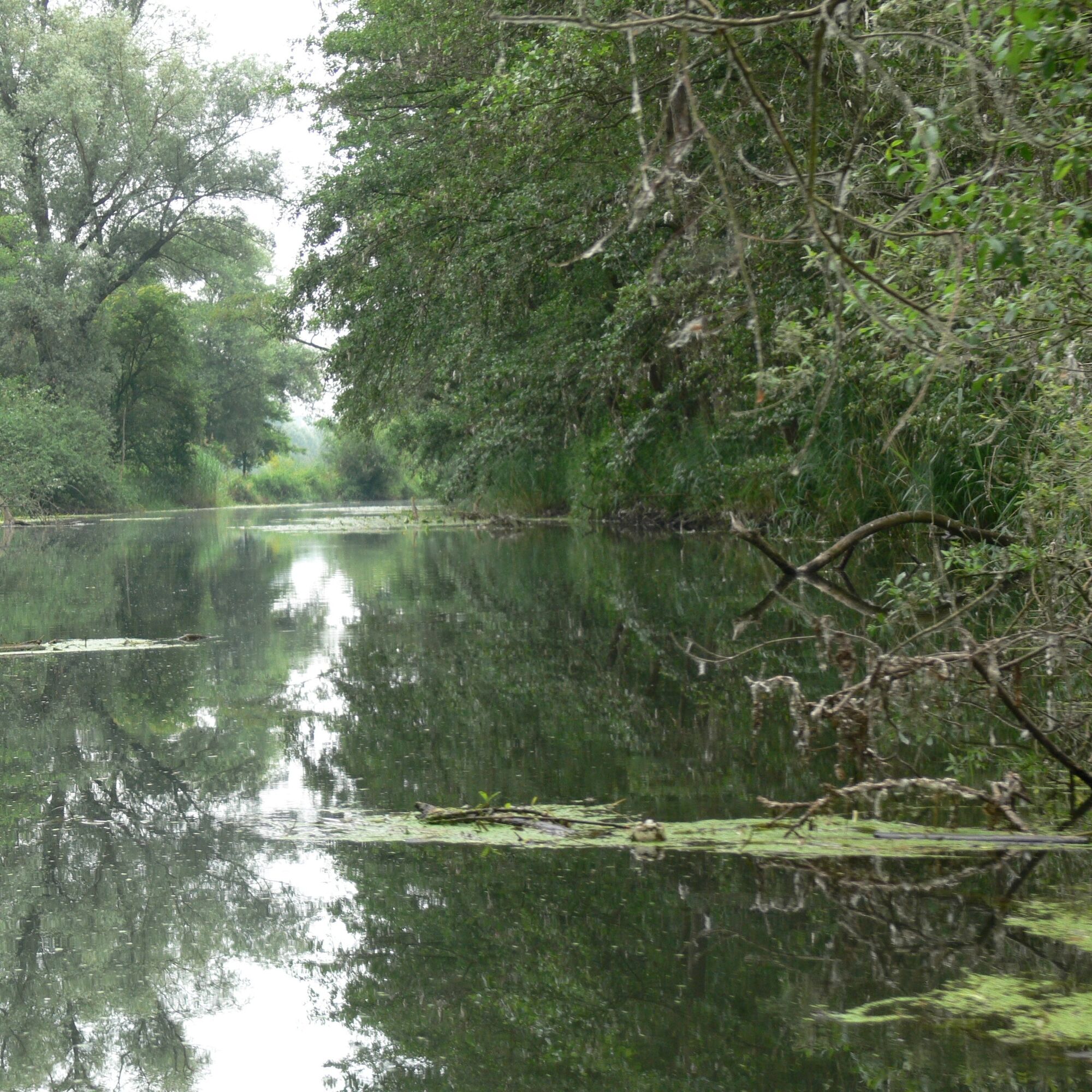
This attractive circular hiking trail, surrounded by reeds, leads around Lake Fischmal, a biotope for a variety of water birds and plants.
Adventure and pure nature.
Dining options directly at the starting...
This attractive circular hiking trail, surrounded by reeds, leads around Lake Fischmal, a biotope for a variety of water birds and plants.
Adventure and pure nature.
Dining options directly at the starting point in the Restaurant Müllers or in local gastronomy.
ATTENTION: THIS PATH IS CURRENTLY NOT PASSABLE DUE TO CONSTRUCTION WORK!
PAY ATTENTION! - Campaign for respectful coexistence in nature
Fire & Smoking - making fire, smoking and grilling are strictly prohibited in the forest and must be absolutely avoided! Fires and thus great damage to nature and wildlife can only be prevented this way. Be considerate - always behave considerately, kindly and respectfully towards everyone you meet on the way Nature conservation - Stay on the designated paths and avoid unnecessary noise when you are in nature. Leave the forest by dusk at the latest to avoid disturbing the rhythm of nocturnal animals. Picnic & rubbish - remember a rubbish bag for the way and take your waste back home. Use only the furnished rest areas for breaks and picnics. Leash dogs - please keep your dog on a leash at all times. Other visitors and animals will thank you.More info at www.pfalz.de/uffbasse


Tak
Footwear sturdy footwear, weather-appropriate clothing, sun and rain protection, as well as sufficient supplies of food and drinks, should no dining or shopping opportunities be available or open.
Safety information
Despite the good marking of the hiking trails, we recommend always having a corresponding hiking map with you for safety reasons.
Especially in autumn, it is also important to note that fallen leaves can cover unevenness, roots, stones or holes in the path. After storms, trees can still fall or branches drop afterwards. Especially in adverse weather conditions, natural paths may have muddy and slippery sections. You must expect such path impairments when undertaking a hike. Not all rocks or precipices are secured with ropes or railings. Surefootedness is sometimes required. If you think certain path sections are not passable for you, you should avoid them.
Exit Leimersheim via B9, follow local signposting.
www.vrn.de
Hugo-Dörrler-Hall Leimersheim
Experience adventure and pure nature.
Popularne wycieczki w okolicy
-
3,5
Treidlerweg
światłoWędrówka 12,5 km -
5,0
Best of Karlsruhe – Dein Stadtrundgang
światłoWędrówka 6,02 km -
4,0
Wandern rund um das Schiffer- und Fischerdorf Neuburg
średniWędrówka 11,3 km -
Veloroute Rhine (Speyer-Karlsruhe)
ciężkiKolarstwo długodystansowe 105,4 km -
Rheinzabern - Otterbachbruchweg: Quality Route Wanderbares Deutschland - Dream Route
średniWędrówka 8,81 km -
4,0
Am Hafen von Wörth.
średniWędrówka 7,23 km -
Transboundary cycling circuit "Remarkable natural spaces" (PAMINA area)
ciężkiKolarstwo długodystansowe 432,2 km -
Bellheim - Nordic Walking Park - Route 6
średniNordic Walking 11,6 km -
3,0
Weingartener Moor
światłoPrzechadzka 7,19 km -
Queich lines - loops (entry Bellheim)
średniWędrówka 10,7 km
Wędrówki i tropienie


Nie przegap ofert i inspiracji na następne wakacje
Twój adres e-mail została dodana do listy mailingowej.





