







Traumschleifchen Pfalzblick

Traumschleifchen are certified walking-hiking paths that, unlike their bigger sisters, the Traumschleifen, have fewer altitude meters and a smaller proportion of trail. Nevertheless, the experience moments...
Traumschleifchen are certified walking-hiking paths that, unlike their bigger sisters, the Traumschleifen, have fewer altitude meters and a smaller proportion of trail. Nevertheless, the experience moments are not missing.
The path runs on the high plateau near Langscheid and Henschhausen with repeatedly magnificent views of the Gutenfels Castle near Kaub and the Pfalzgrafenstein Castle in the middle of the Rhine.
From the viewpoint "Uff‘m hinner Beil," you look at Oberwesel with the Schönburg and the Dellhofen district.
Information boards at the Rhein, Josef, and St. Anna mines along the Rhine provide information about mining.
Nicely designed rest areas, especially at Sauzahn, invite you to picnic. And at the end, a detour to the gastronomy in the region is worthwhile.

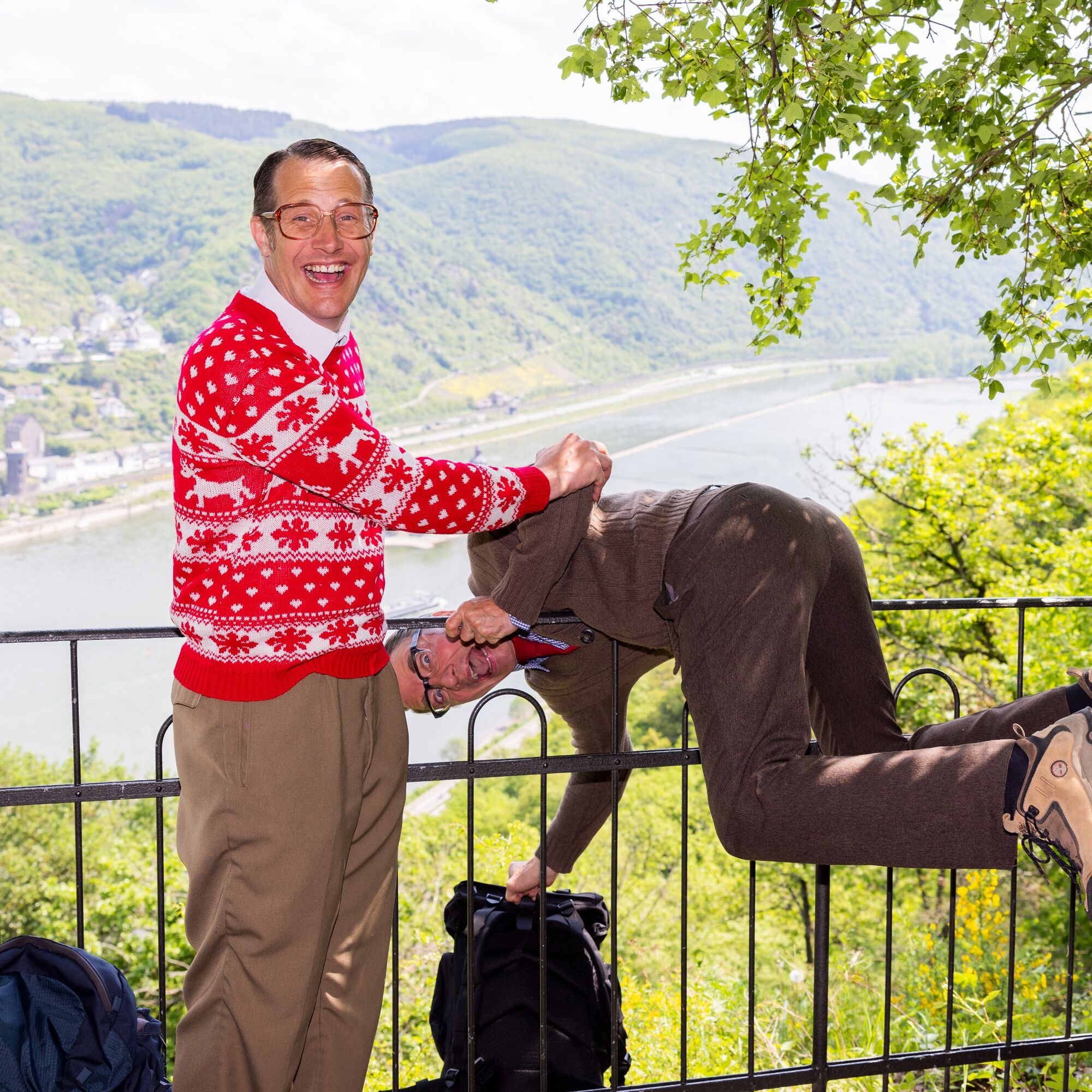
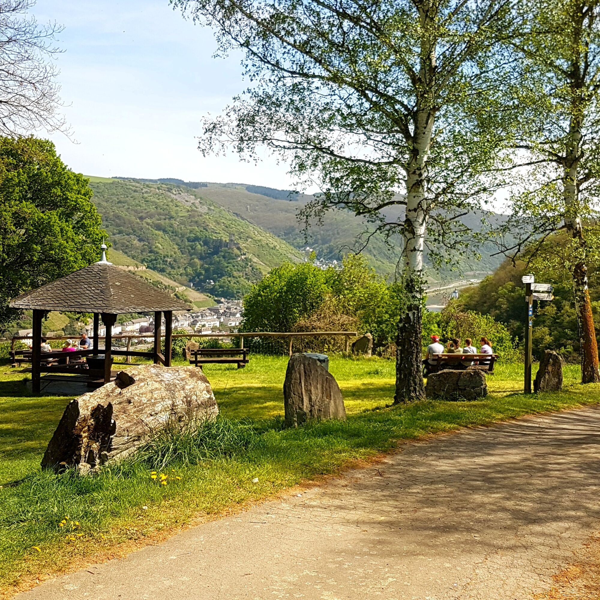
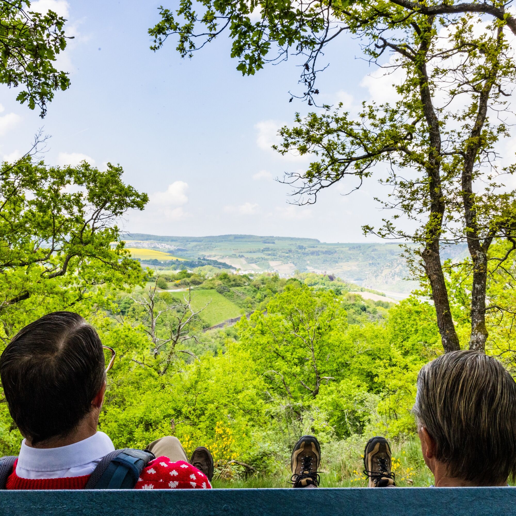
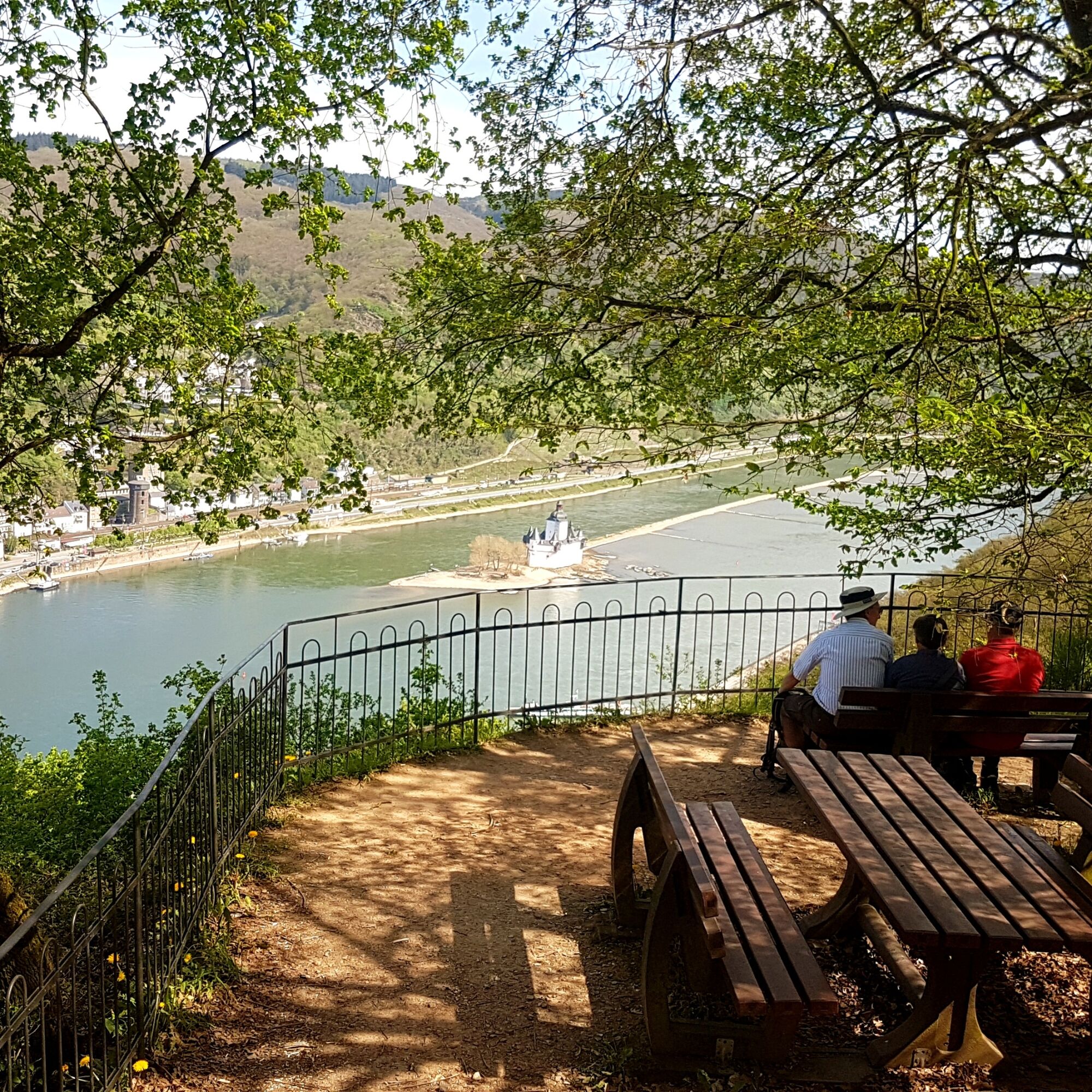
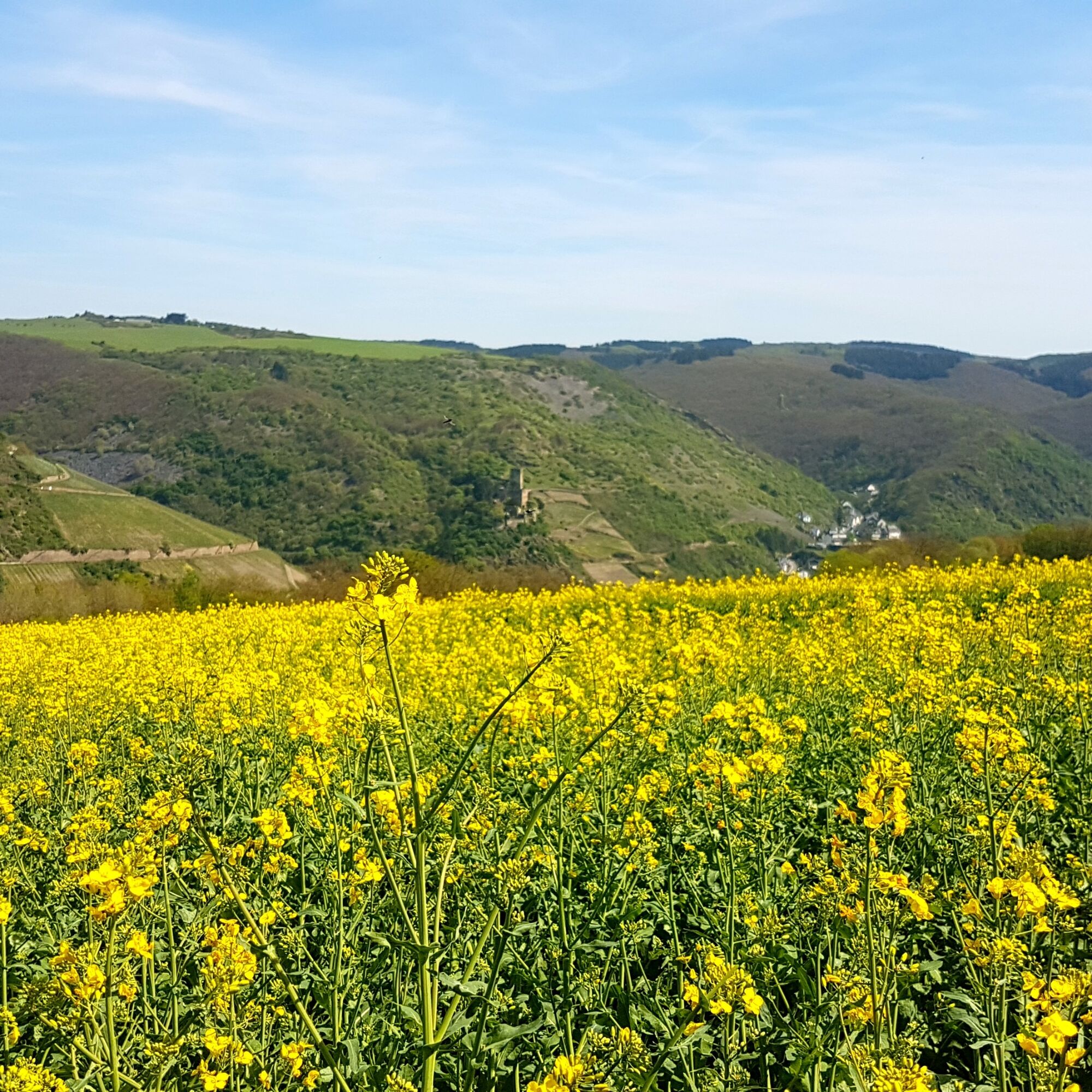
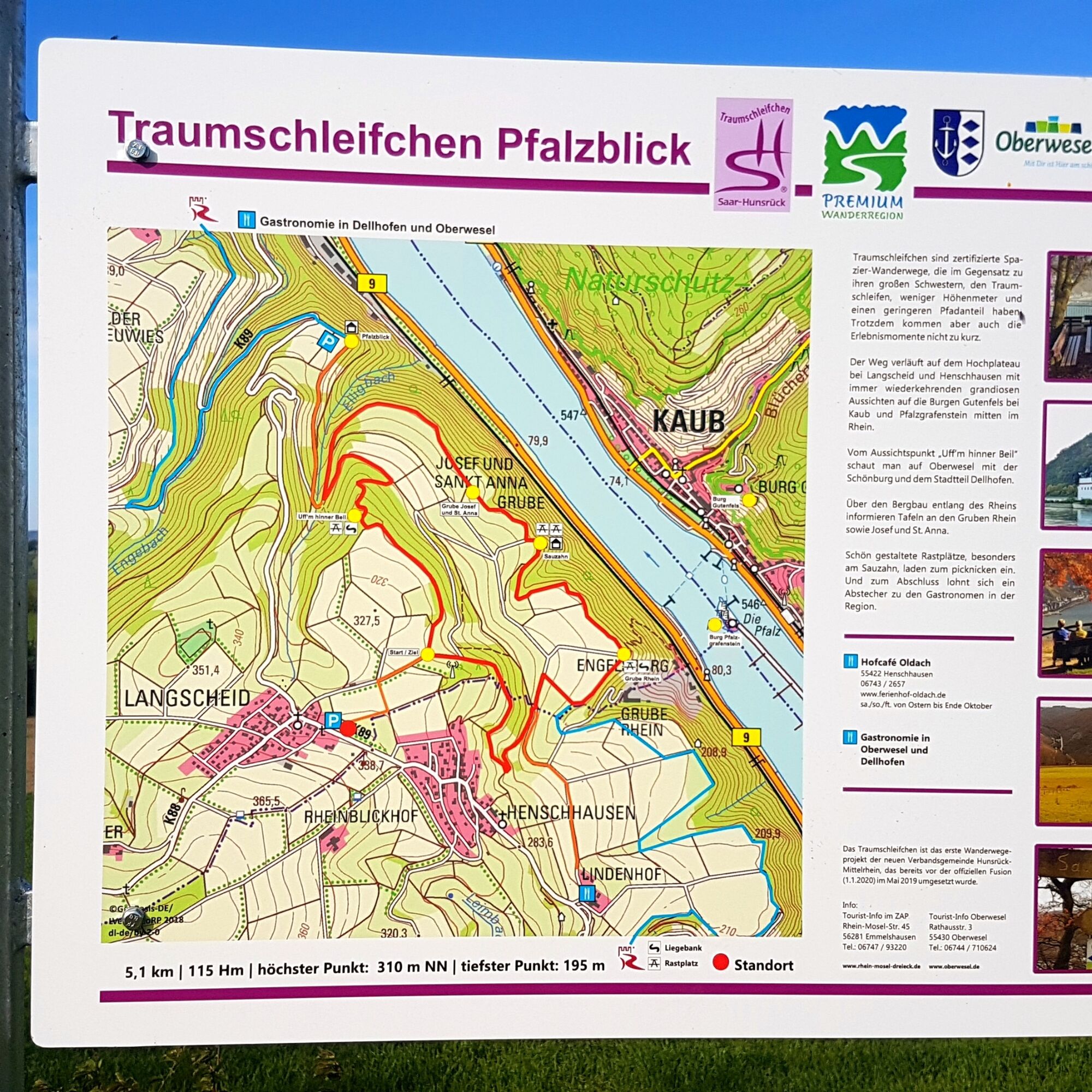

A short access path from the parking lot at the community center in Langscheid leads to the start. Clockwise, the route passes various viewpoints along the circular path.
Tak
Tak
Suitable footwear (no flip-flops) should also be chosen for walking-hiking paths.
From the A 61 exit Wiebelsheim via Perscheid to Langscheid
From Oberwesel via the K 89 to Langscheid
Large parking lot at the community center in Langscheid
Small parking lot (8 spaces) at the Pfalzblick viewpoint on the K 89
More Traumschleifchen
Those who want to extend the short route can hike via the Rhine Heights Trail towards Oberwesel or Bacharach.


Popularne wycieczki w okolicy
- 4,8
Traumschleife Mittelrhein
ciężkiWędrówka 14,7 km - 4,6
Panorama Trail St. Goar
średniWędrówka 8,47 km - 5,0
Kaub - Burg Herzogenstein - Spitznack - Hasenberg
ciężkidługodystansowy szlak pieszy 22,1 km - 4,5
Durch den Kammerforst zum Teufelskadrich
światłoWędrówka 12,3 km - 4,3
Dream loop Werlauer Pilz
światłoWędrówka 5,60 km - 3,5
Traumschleifchen Baybachquellen
światłoWędrówka 6,22 km - 4,8
Rund ums Niederwald Denkmahl
światłoWędrówka 7,48 km - 5,0
Kaub - Bacharach - Clemenskapelle - Pfarrkirche St. Martin
średnidługodystansowy szlak pieszy 13,8 km Traumschleife Schwede-Bure
średniWędrówka 11,9 km- 5,0
Traumschleifchen cuckoo snack
średniWędrówka 6,79 km
Wędrówki i tropienie


Nie przegap ofert i inspiracji na następne wakacje
Twój adres e-mail została dodana do listy mailingowej.





