







Traumschleifchen Baybachquellen

Traumschleifchen are certified leisurely walking trails, which, in contrast to their bigger counterparts, the Traumschleifen, have fewer elevation meters and a smaller proportion of paths. Nevertheless,...
Traumschleifchen are certified leisurely walking trails, which, in contrast to their bigger counterparts, the Traumschleifen, have fewer elevation meters and a smaller proportion of paths. Nevertheless, moments of experience are not lacking.
The Traumschleifchen Baybachquellen is a joint project of the communities of Pfalzfeld, Lingerhahn, and Hausbay. Around the spring streams, which flow together in Hausbay to form the Baybach, which then flows into the Moselle 32 km later, an interesting route was created.
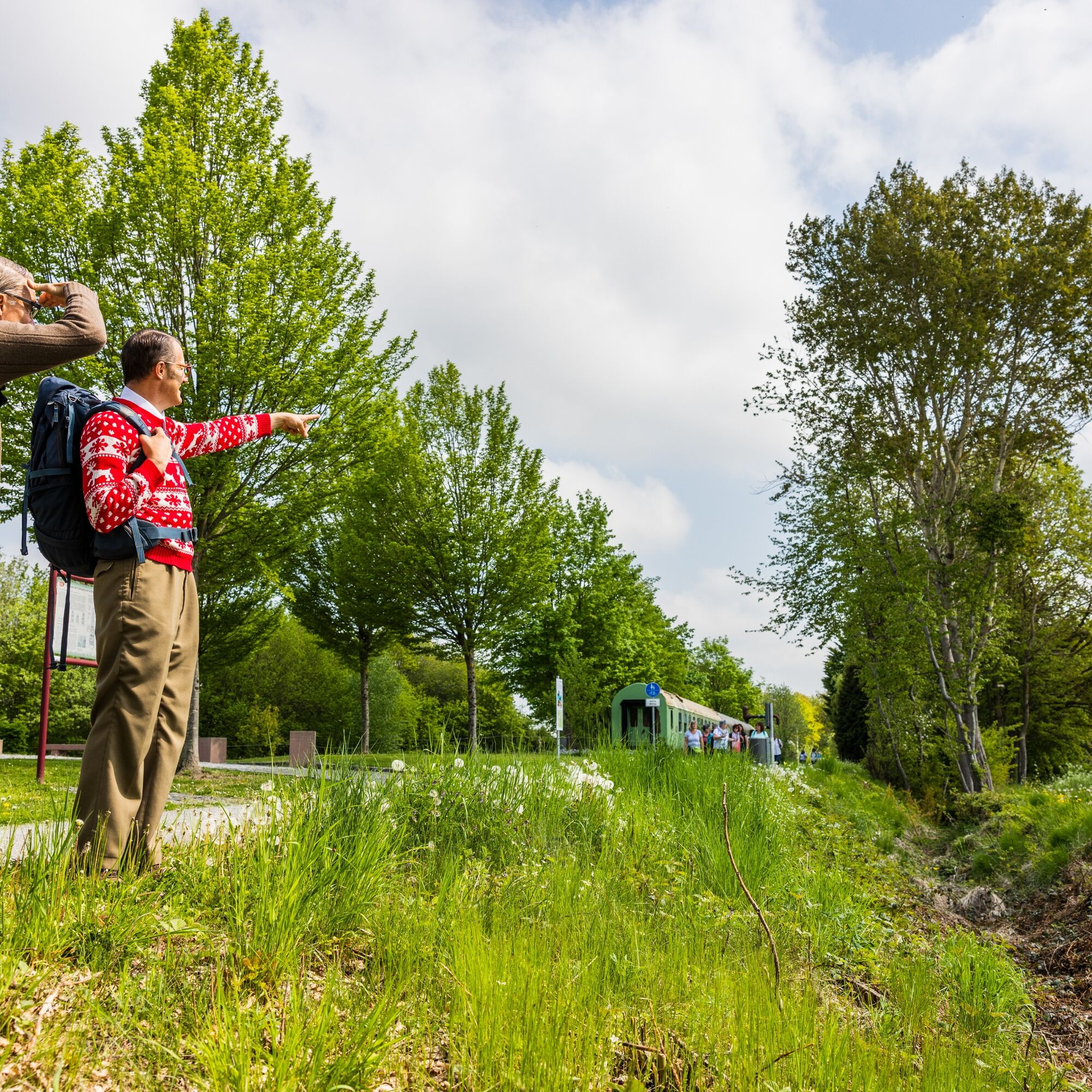
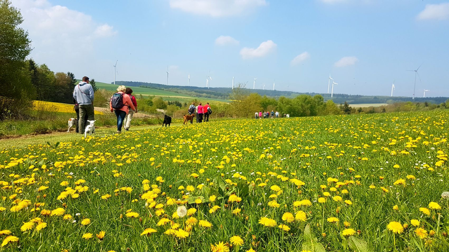
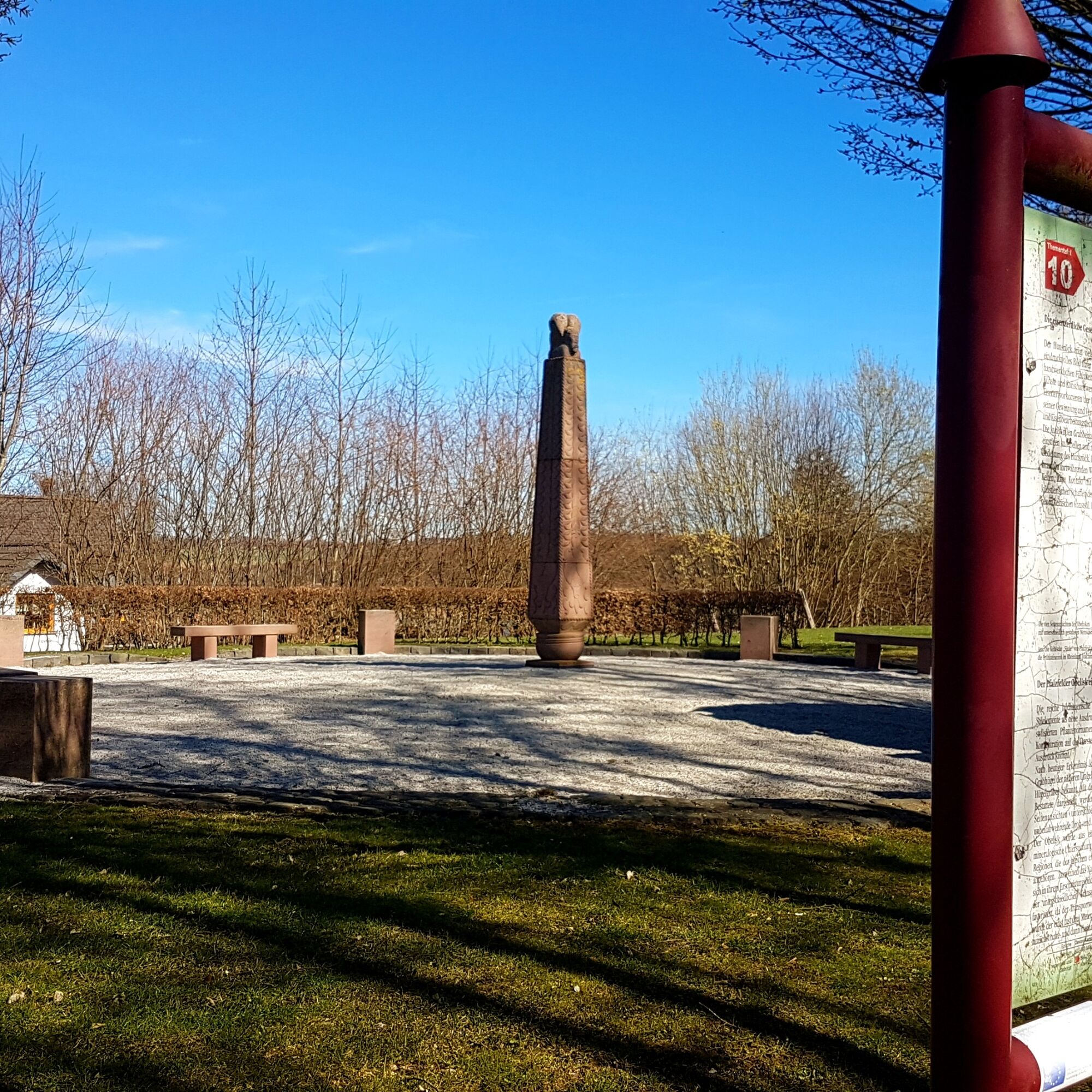
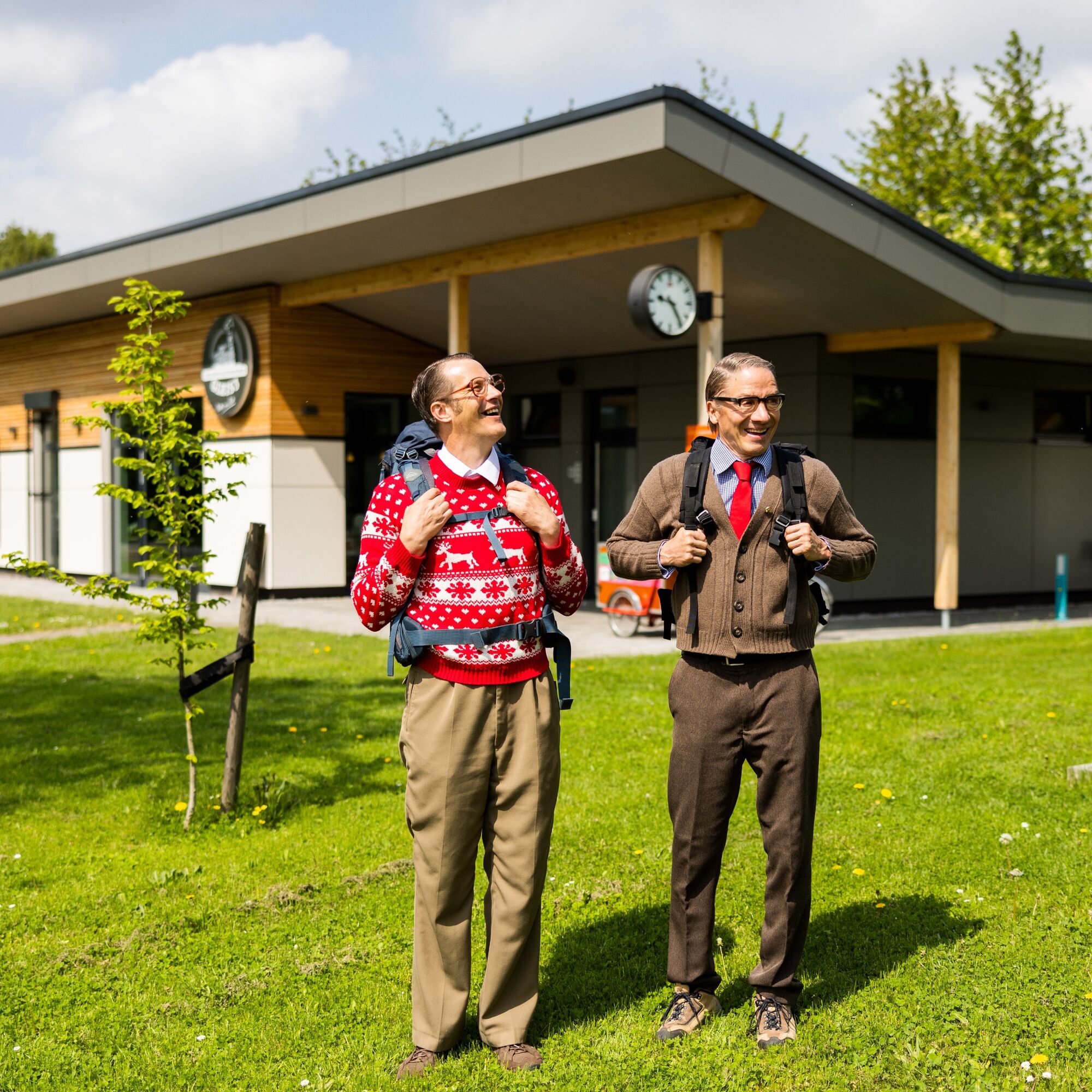
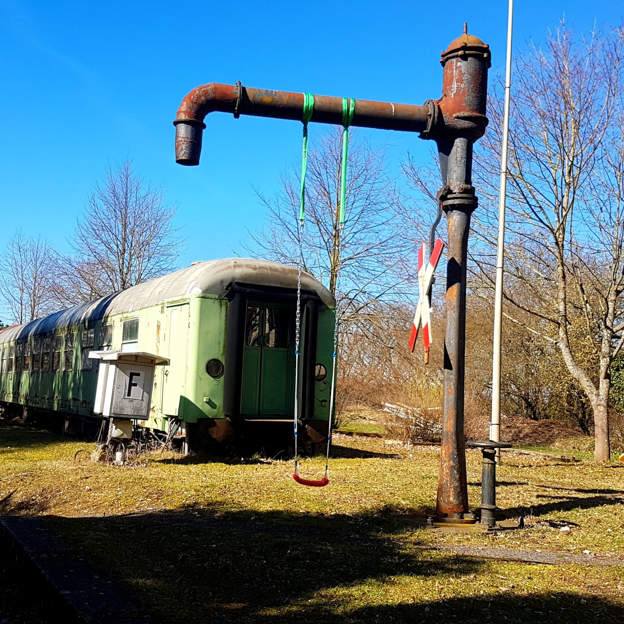
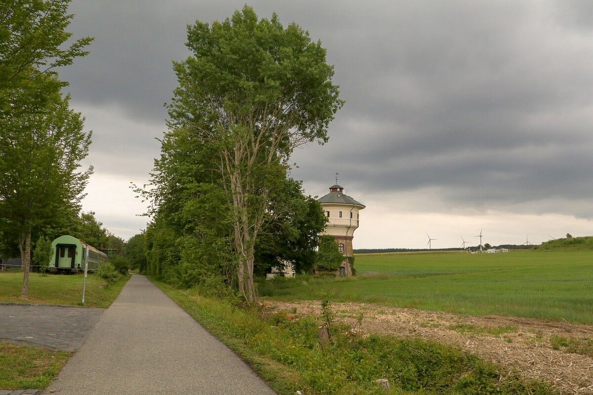
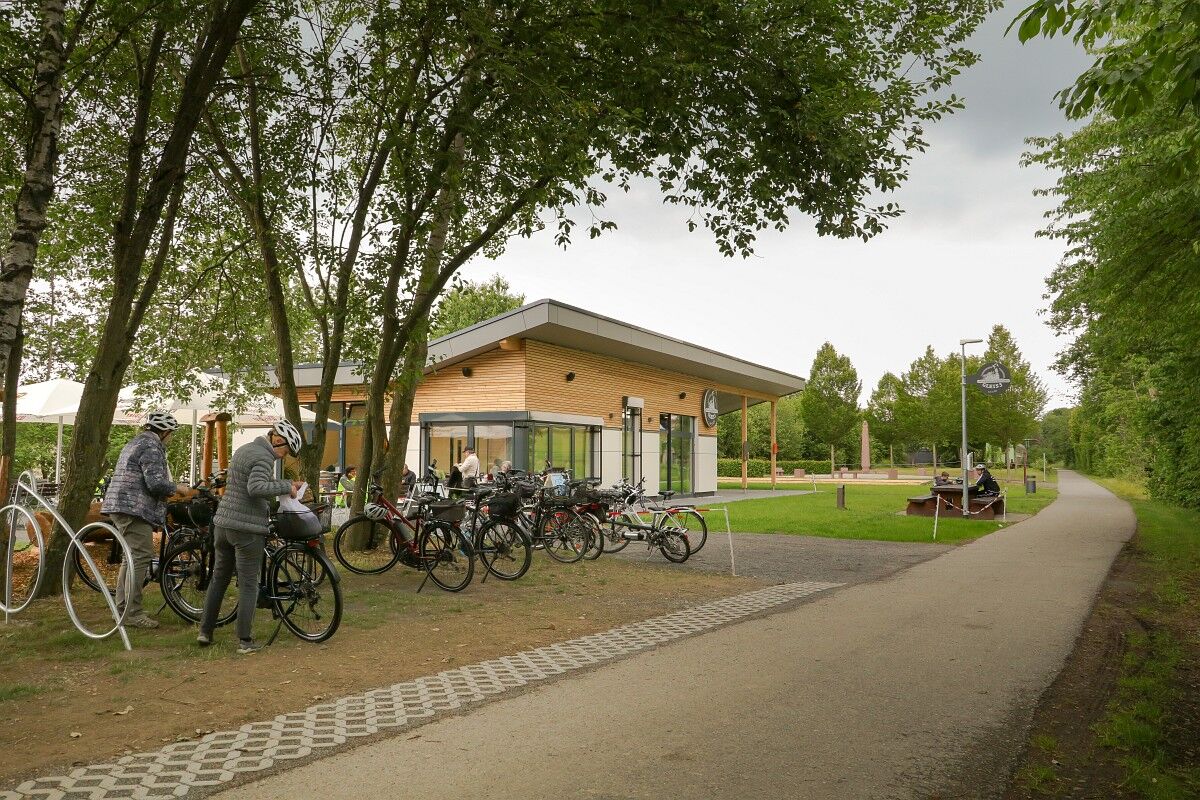
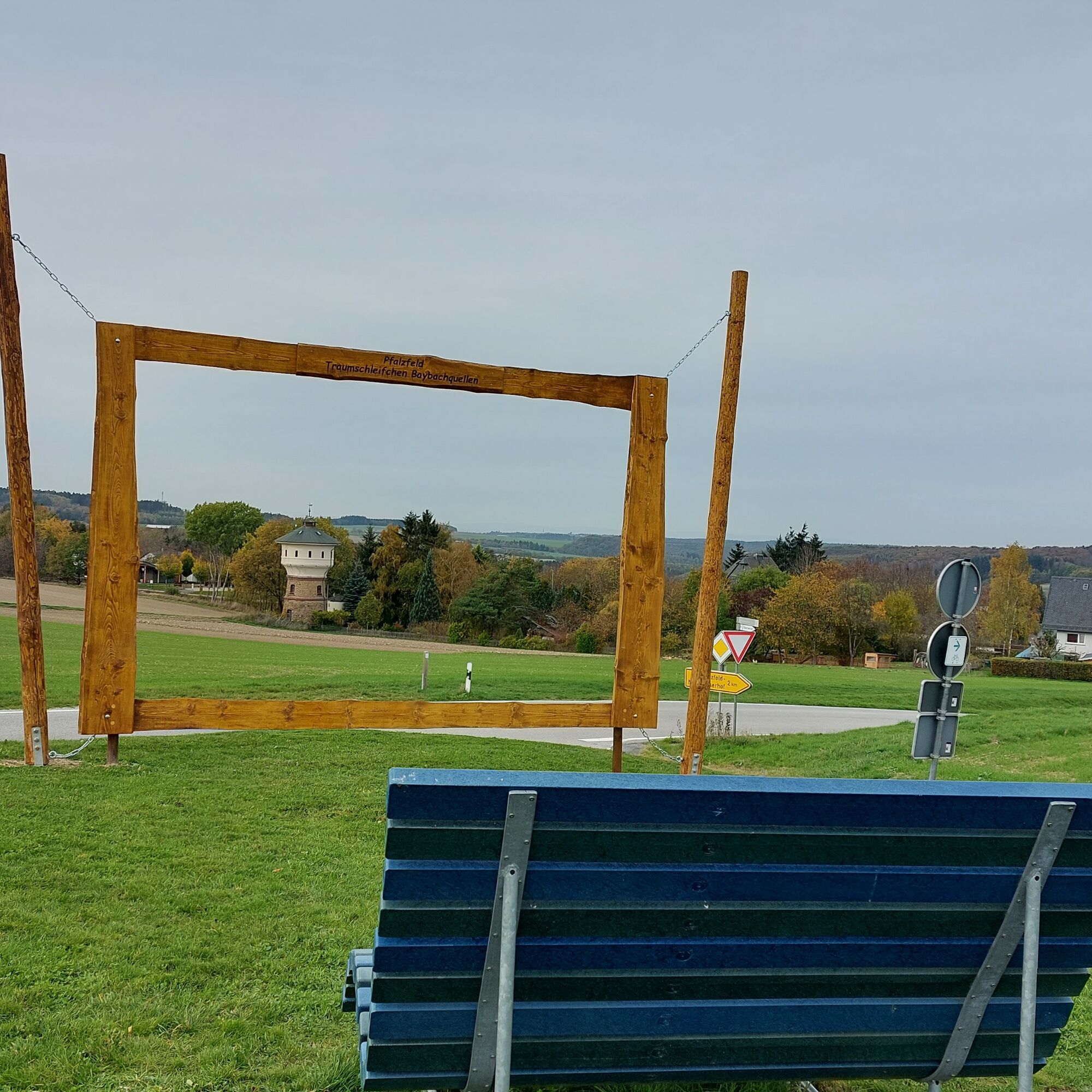
The route leads over easily walkable forest and meadow paths with beautiful and wide views. Along the way, there is to see: the Pfalzfeld train station with its sleeping car wagons, the Pfalzfeld Obelisk, and the water tower at the station. For physical well-being, the hospitality businesses at the Mühlenteich and Schinderhannes campsites as well as the restaurant Gleis 3 next to the Pfalzfeld Obelisk provide services. You can rest at the Pfalzfeld marketplace as well as three deck chairs and many other resting benches.


Tak
A leisurely walking trail does not require hiking boots, but high heels should also be left at home.
No special safety instructions need to be observed.
A 61 exit Pfalzfeld
Hunsrückhöhenstraße B 327 exit Hausbay
Information about the transport association
A free parking lot is available at the sports field between Hausbay and Pfalzfeld, about 500 m from the starting point.
Along the way, there is even a "drink tree" growing


Popularne wycieczki w okolicy
- 4,6
Traumschleife Ehrbachklamm
ciężkiWędrówka 11,0 km - 4,8
Traumschleife Mittelrhein
ciężkiWędrówka 14,7 km - 4,6
Panorama Trail St. Goar
średniWędrówka 8,47 km - 5,0
Kaub - Burg Herzogenstein - Spitznack - Hasenberg
ciężkidługodystansowy szlak pieszy 22,1 km - 4,7
Dommershausen - Steffenshof - Schmausemühle - Beltheim
ciężkiWędrówka 10,4 km - 4,3
Dream loop Werlauer Pilz
światłoWędrówka 5,60 km - 5,0
Traumschleifchen Pfalzblick
światłoWędrówka 5,68 km Pfalzfeld - Geierlay suspension bridge
średniJazda na rowerze 28,1 km- 4,5
Traumschleife Elfenlay
ciężkiWędrówka 11,4 km - 5,0
Dream Loop Upper Baybach Valley
ciężkiWędrówka 15,6 km

Wędrówki i tropienie


Nie przegap ofert i inspiracji na następne wakacje
Twój adres e-mail została dodana do listy mailingowej.





