


Potzberg Hiking Trail
The Potzberg is part of the ”Palatinate Domes“ and lies within the Königsland landscape protection area.
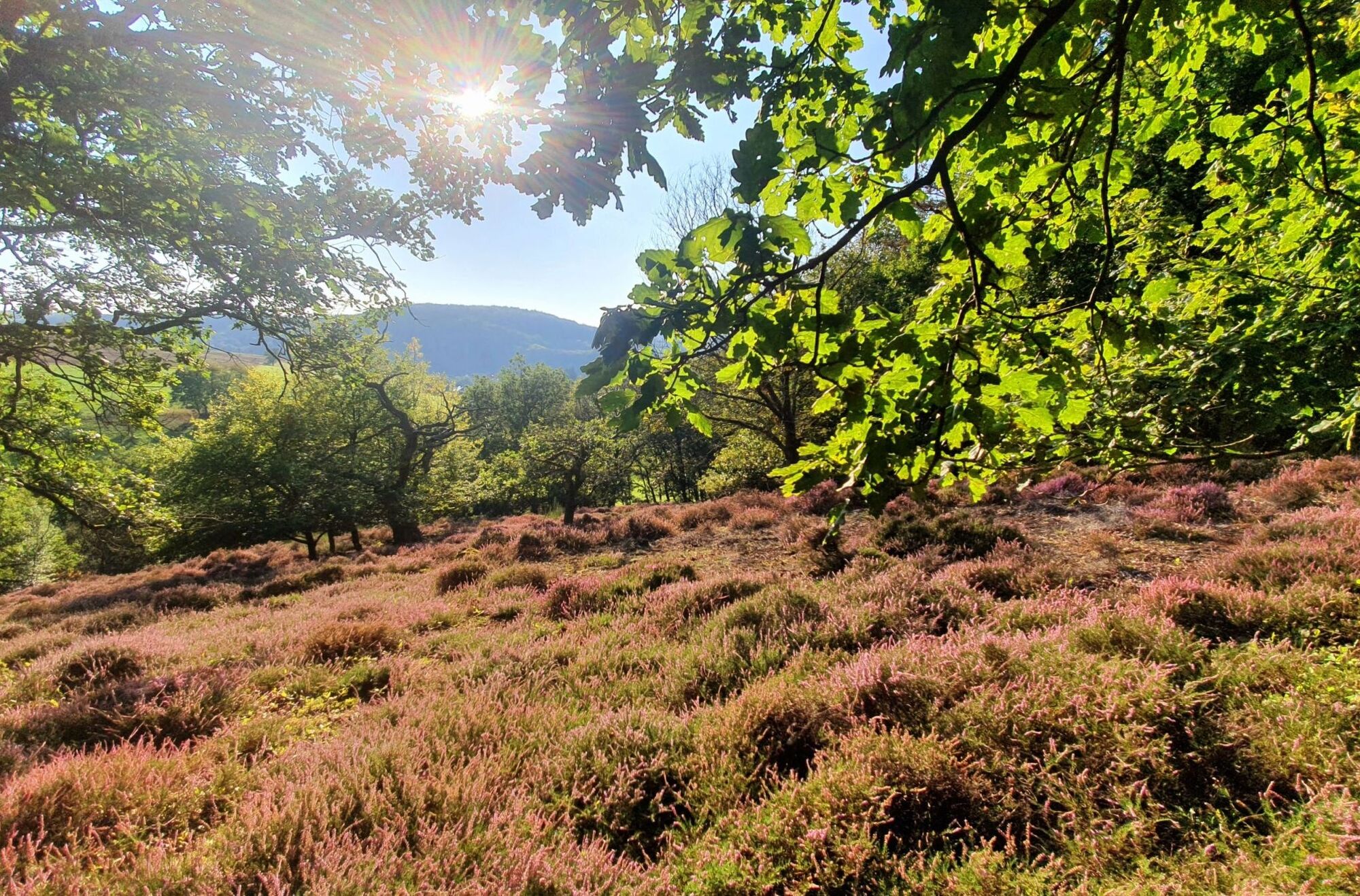
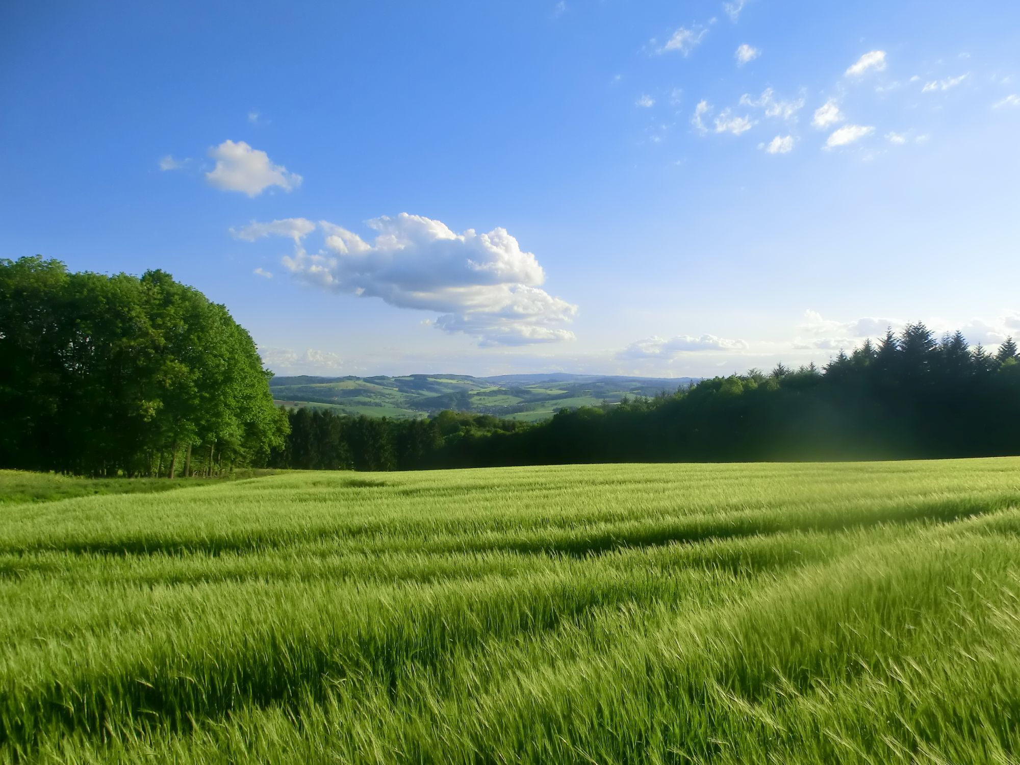
Its relative height of 562 meters and especially its massive appearance make this mountain formed...
The Potzberg is part of the ”Palatinate Domes“ and lies within the Königsland landscape protection area.
Its relative height of 562 meters and especially its massive appearance make this mountain formed in the Permocarbon a conspicuous elevation in the Western Palatinate. Napoleon already made use of this and built an observation tower, which also served land surveying.
The first stone ”Moserturm“ made the mountain a genuine tourist attraction in 1893; in 1952, the current Potzberg Tower was built, which we gladly recommend as a starting point.
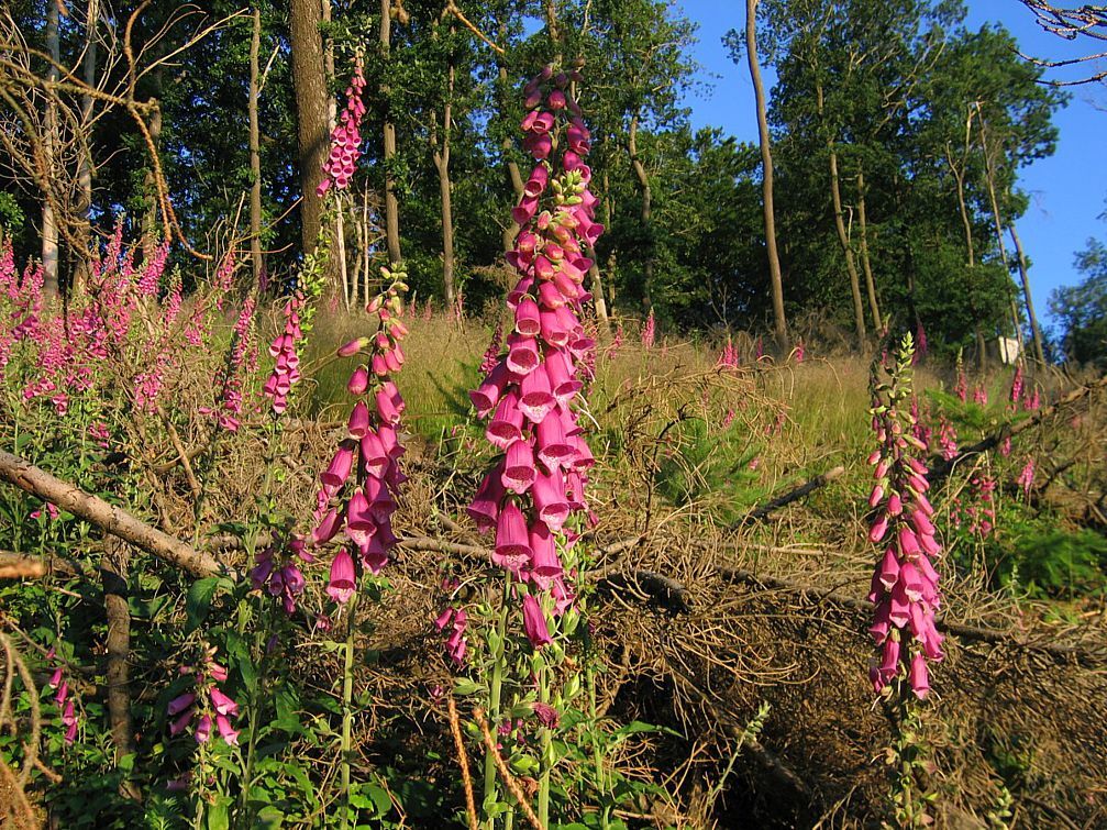
Besides an interesting flora and fauna (the red foxglove as its characteristic plant), the Potzberg offers Roman settlement traces, sparse remains of a castle already vanished in the late Middle Ages, well constructions, emergent rock conglomerate, and relaxing forest places. On your circular walk on the Potzberg, boredom will not arise, and there is always something new for the eye to discover.

14.8 km that are fun but also require some stamina. In return, you get to see not only beautiful distant views in the Palatinate Westrich but also a lot of interesting things from the history of the Potzberg.
Please take into account the opening hours of the local gastronomy when planning the route, or enjoy your packed lunch on one of the 22 resting benches, some with tables.
Have fun on this great route!
Tak
Depending on the season, you can pack wind and rain protection, sun protection (headgear, cream, sunglasses), and insect repellent in your backpack.
A small first aid kit with bandages can also be very helpful.
Don’t forget to pack provisions and drinks!
Surefootedness is required in places
Exit Glan-Münchweiler
To federal road 423 towards Altenglan - Glan-Münchweiler - Rehweiler - Matzenbach - Gimsbach
Turn onto L364 towards Neunkirchen am Potzberg - Föckelberg - Potzberg
Exit Kusel
To federal road 420 towards Kusel - Rammelsbach - Altenglan - Mühlbach am Glan - Föckelberg - Potzberg
Ample parking spaces are available immediately at the Potzberg wildlife park.
On holidays, you may have to resort to additional parking spaces.
Tak
A highlight that you can also discover while exploring the Potzberg hiking trail is the drainage tunnel “Gelbes Wasser”.
If you do the tissue test here (briefly hold a paper tissue in the water and then take it out), you will understand how the name came about.
Popularne wycieczki w okolicy
Teufelstour - Olsbrücken
ciężkiWędrówka 15,1 km- 5,0
Börsborn - Muhleichenweg
średniWędrówka 11,3 km - 4,0
Börsborn - Von-der-Leyen-Weg
średniTrasa tematyczna 12,2 km - 5,0
Glan-Blies cycle path | Waldmohr - Staudernheim
średniKolarstwo długodystansowe 74,9 km - 4,0
Fritz-Wunderlich Cycle Path
średniJazda na rowerze 26,1 km Kusel - Preußensteig
ciężkiWędrówka 25,6 kmAltenkirchen - Cherry Land Path (circular route - 22.6 km)
ciężkiTrasa tematyczna 22,5 kmWolfstein - summit trail to Königsberg
ciężkiTrasa tematyczna 8,11 km- 4,0
Glan-Blies Cycle Route
światłoJazda na rowerze 127,1 km Henschtal - Eichhörnchenweg im Hodenbachtal
średniWędrówka 8,18 km
Wędrówki i tropienie


Nie przegap ofert i inspiracji na następne wakacje
Twój adres e-mail została dodana do listy mailingowej.