



Road bike 1 - Waldleiningen - Waldfischbach-Burgalben - Kaiserslautern

Poziom trudności: 3
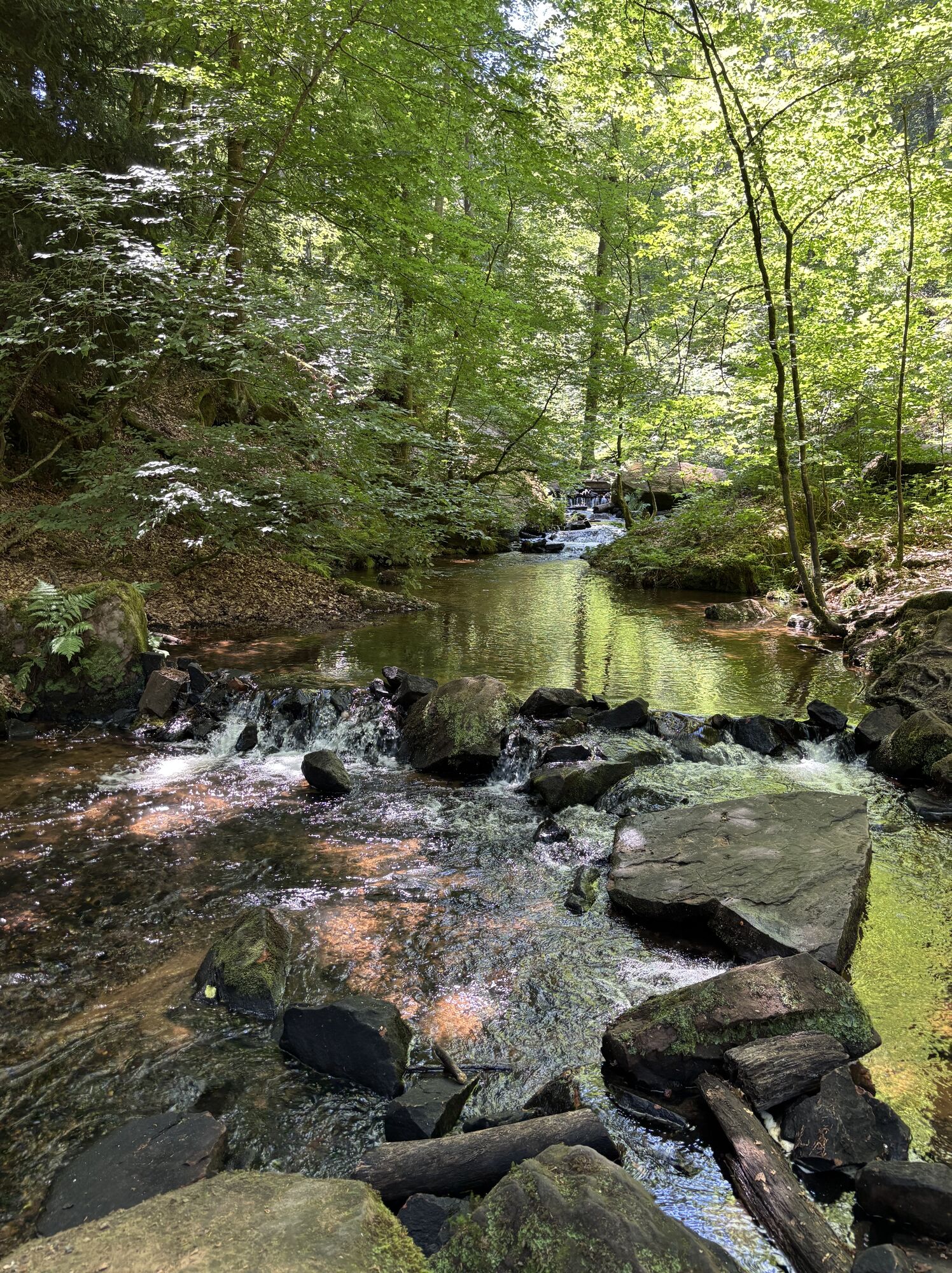
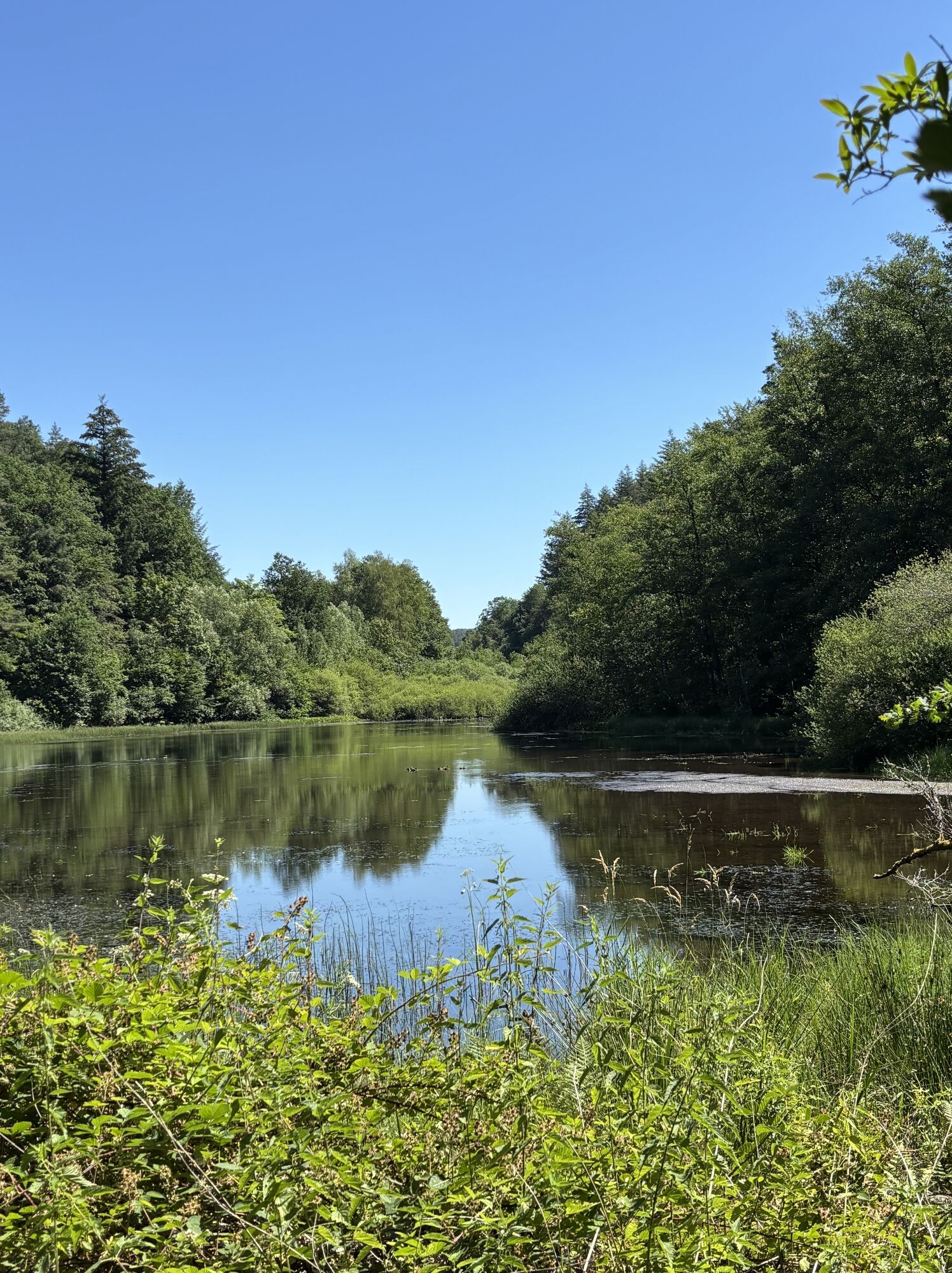


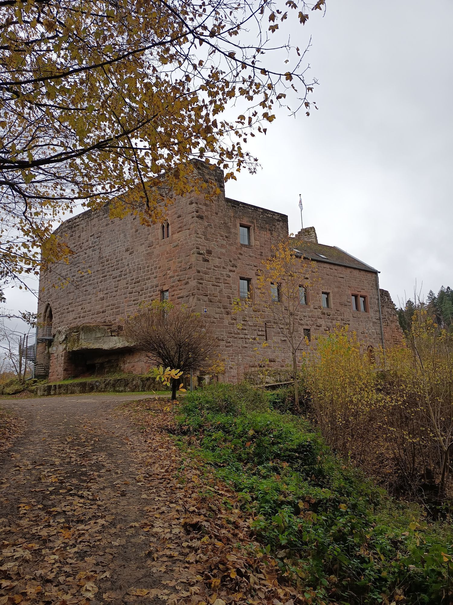
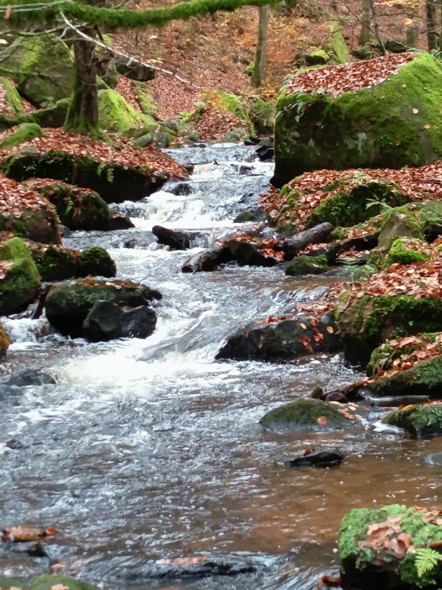

From the start in Waldleiningen, it goes down a narrow winding road (L504), colloquially called "Krottenbuckel," into the Elmstein valley and then turns right up to Johanniskreuz (L499).
Next, a short...
From the start in Waldleiningen, it goes down a narrow winding road (L504), colloquially called "Krottenbuckel," into the Elmstein valley and then turns right up to Johanniskreuz (L499).
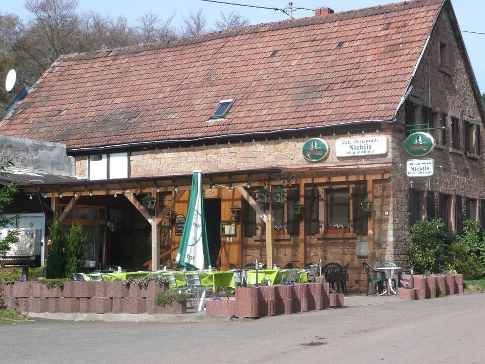
Next, a short section on the busy B48 until it goes straight ahead in a left curve over the heights of the Palatinate Forest on L496 through Leimen. After a fast descent, keep right at the exit of Merzalben onto L498. Via Clausen and Donsieders, you reach Waldfischbach-Burgalben after a short descent, where several places to eat are available after about 60 kilometers.
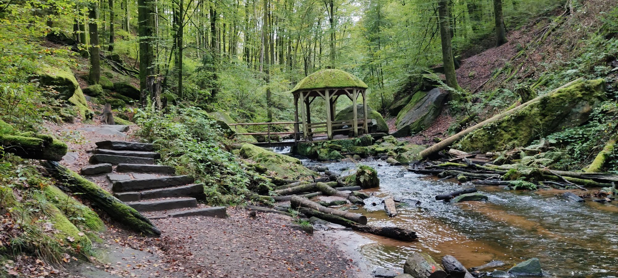
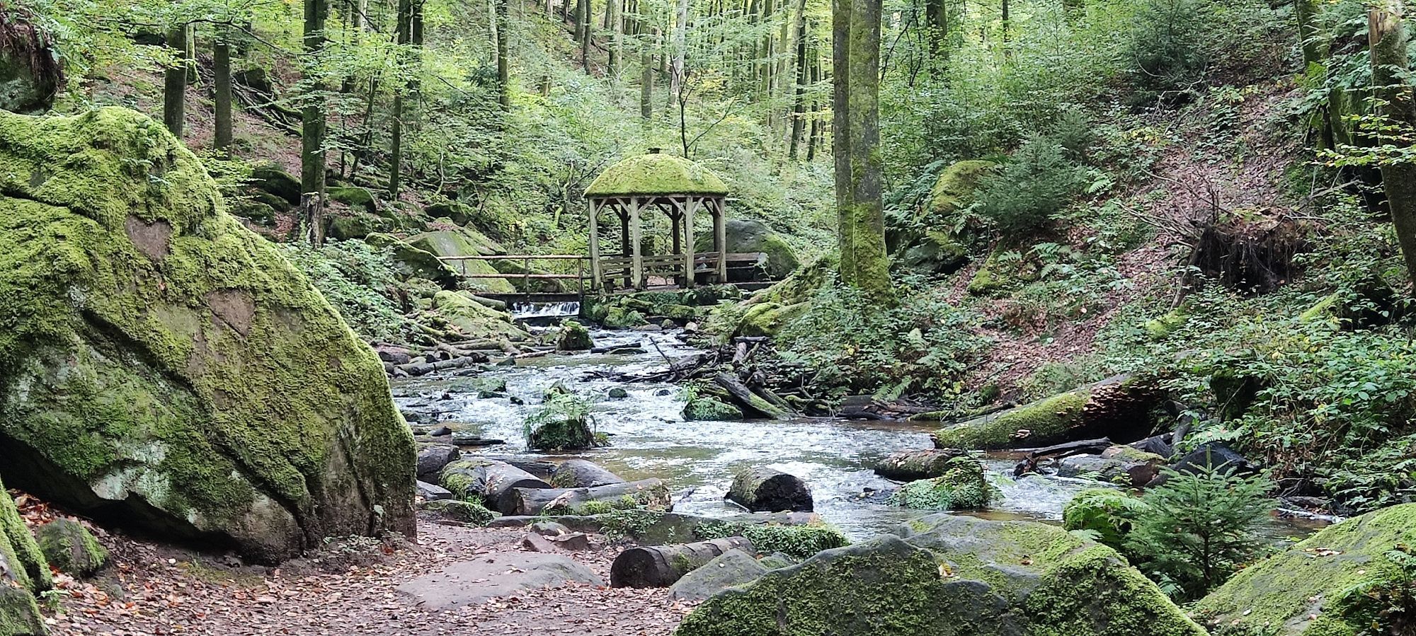
From there, follow L499 to Heltersberg, the hometown of cycling legend Udo Bölts, who you might be lucky enough to meet on these routes by bike. After a fast descent on K30, there is a short, steep climb up to Schmalenberg. Behind Schmalenberg, follow K30 down into the beautiful Karlstal, which you pass completely on L500 until the B270 junction. Past the Walzweiher, take a side road with another small climb near Dansenberg back to Kaiserslautern. The last meters before the city are rewarded with a slight downhill road, allowing you to increase your average speed a bit. Past Kaiserslautern station, head out of town via L504 up to the crossing of the busy B48. After a short descent, you are back at the starting point in Waldleiningen.
PAY ATTENTION! - Campaign for considerate behavior in nature
Always behave considerately, friendly, and attentively towards everyone you meet along the way. Respect nature, do not destroy plants and always stay on the paths. Try to avoid excessive noise and leave the forest before dusk. Remember to take a garbage bag with you and dispose of rubbish properly. Please keep your dog on a leash at all times. Other visitors and animals will thank you. Observe all trail closures for your own safety, even on weekends. Park only in designated parking areas. Leave space for emergency vehicles and agricultural machinery. Please give priority to agricultural and forestry traffic.
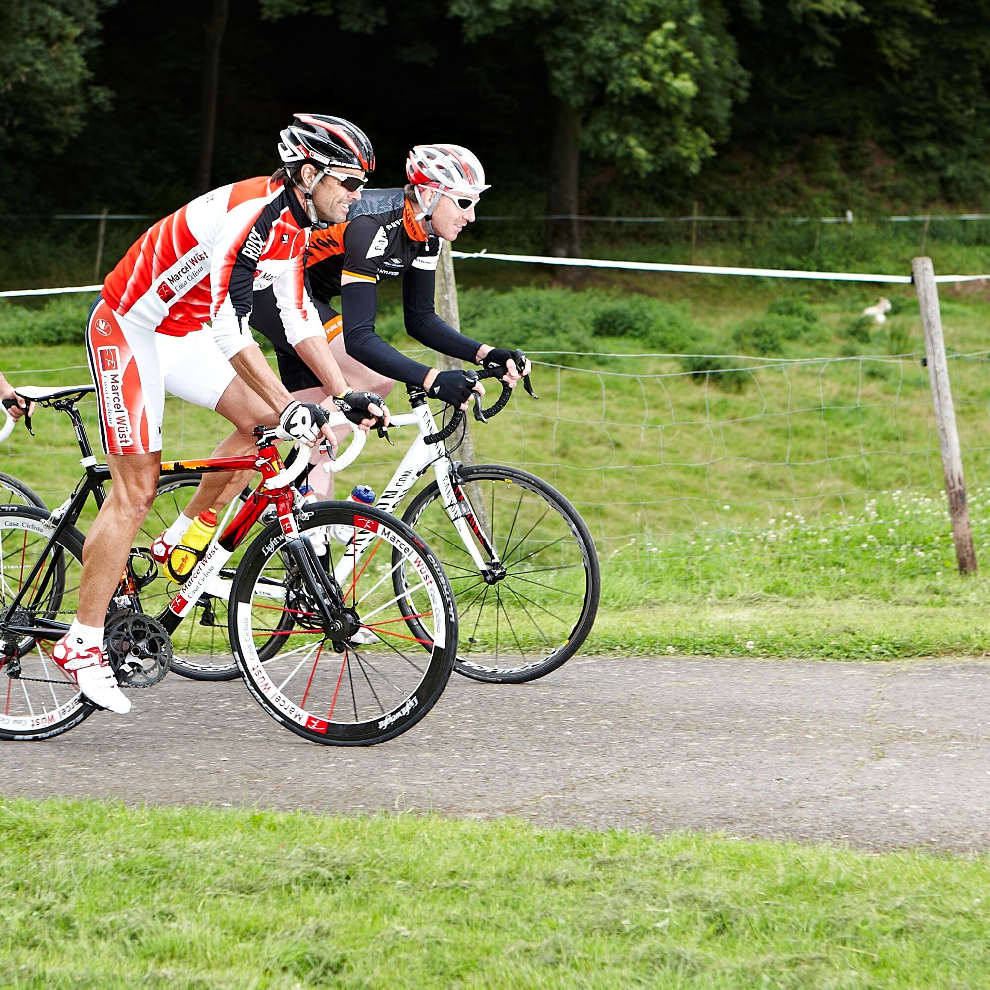

For our cycling routes, we recommend the following equipment as standard:
(Touring) bike, on hillier routes more gears or electric assistance provide more comfort Bicycle helmet Cycling-appropriate clothing, also for bad weather Bicycle bag to store equipment and provisions Sunglasses or protective glasses, also protect against insects Smartphone with the Rheinland-Pfalz app, for navigation and information on sights, places to eat along the route, and more - LINK Essential tools and spare parts, if applicable charging accessories for e-bike Sun protection, especially on routes through fields & vineyardsOur cycling routes often run on paths that we share with others. Therefore, we ask for always considerate and friendly behavior. Winemakers, farmers, and foresters use the access roads through fields, forests, and vineyards for their daily work (also on weekends) and always have priority. Due to work operations and/or weather conditions, these paths may occasionally be more heavily soiled. Particular caution is also necessary when riding on the (mostly quiet and little-trafficked) roads in and around the Palatinate villages.
Motorway A6, exit no. 17 Enkenbach-Alsenborn, continue via B48 to Waldleiningen
Bus line 135 from Kaiserslautern to Waldleiningen
3
Popularne wycieczki w okolicy
-
4,5
Forsthaus Beckenhof - Pirmasens - Waldhaus Starkenbrunnen - Lemberg
średniWędrówka 13,6 km -
4,8
Lemberg - Salzwoog - Schwamborn-Quelle - Teufelstisch
średniWędrówka 11,9 km -
5,0
Lembergblick - Rothenberg - Mühlberg - Waldhaus Drei Buchen
średniWędrówka 9,72 km -
5,0
Rodalber rock hiking trail
ciężkiWędrówka 44,3 km -
4,7
Tour D of the PWV Rodalben
średniWędrówka 9,79 km -
Münchweiler Höhenwanderweg - complete route
ciężkiWędrówka 16,6 km -
5,0
Bear cave tour Rodalben
średniWędrówka 8,61 km -
Pfälzer Waldpfad full route
ciężkidługodystansowy szlak pieszy 128,9 km -
5,0
Münchweiler Höhenwanderweg - Part 2
średniWędrówka 9,33 km -
5,0
Tour to the Geißenschlupf rocks and the "Schöner Aussicht" near Leimen/Pfalz
średniWędrówka 4,33 km
Wędrówki i tropienie


Nie przegap ofert i inspiracji na następne wakacje
Twój adres e-mail została dodana do listy mailingowej.


