







Rodalber rock hiking trail
Poziom trudności: T2
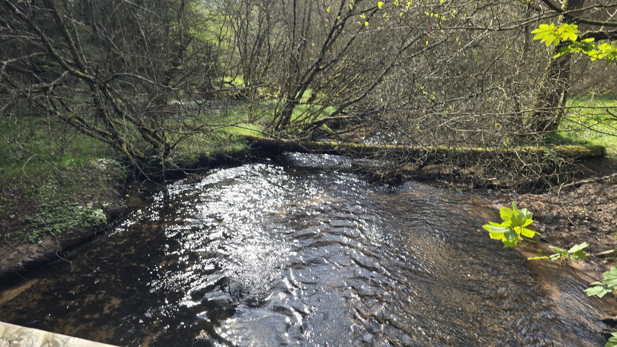
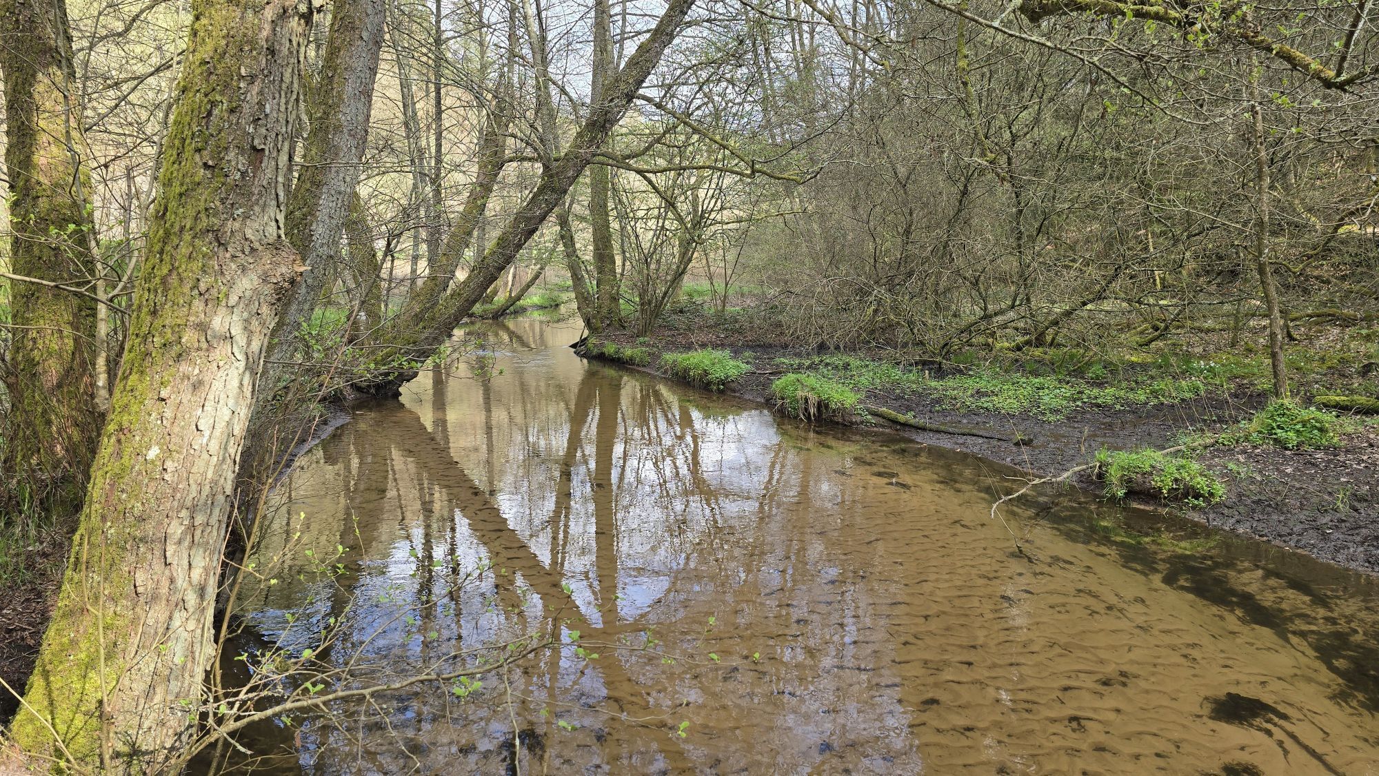
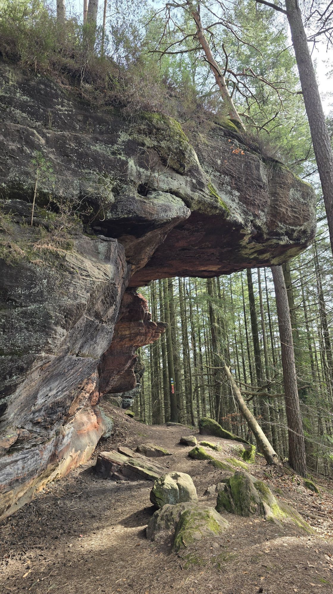
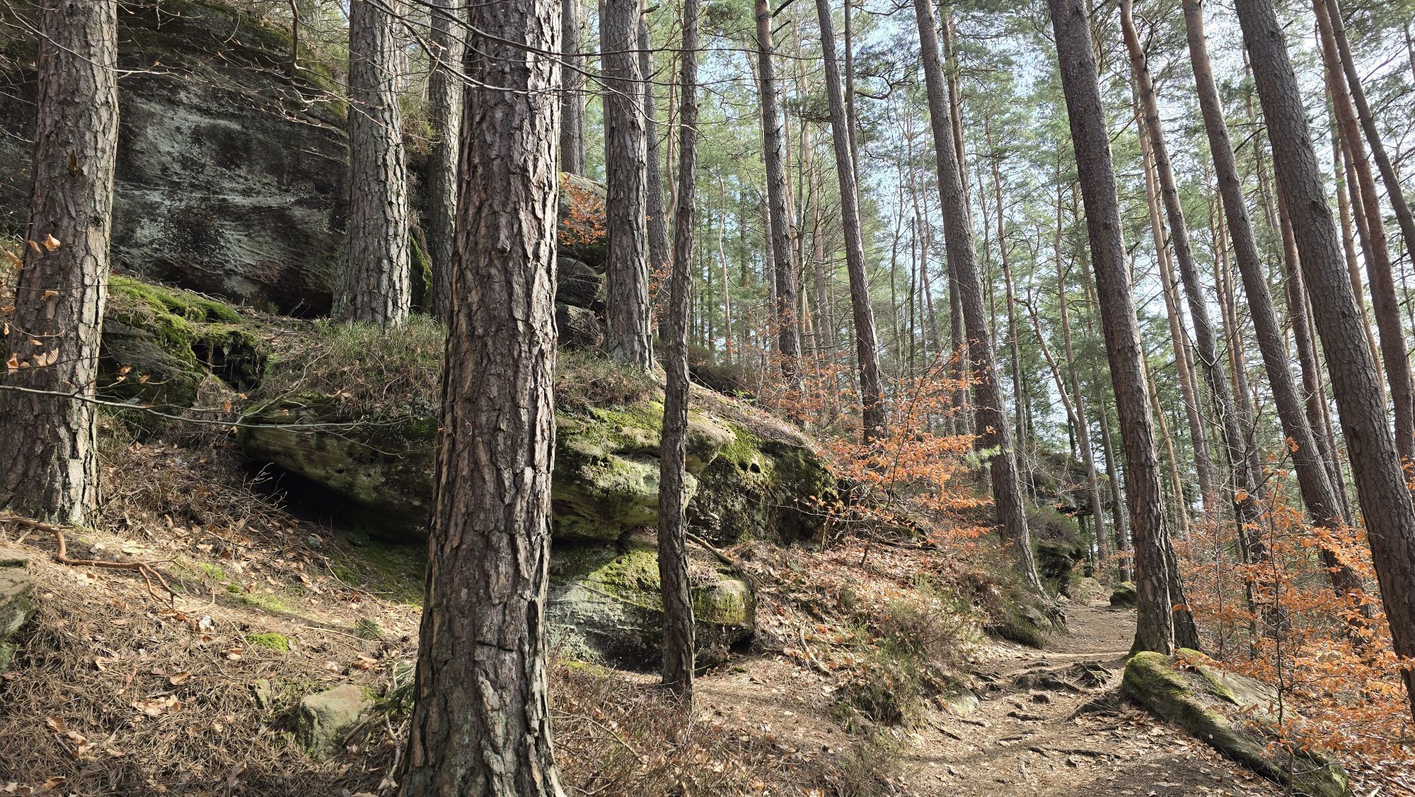
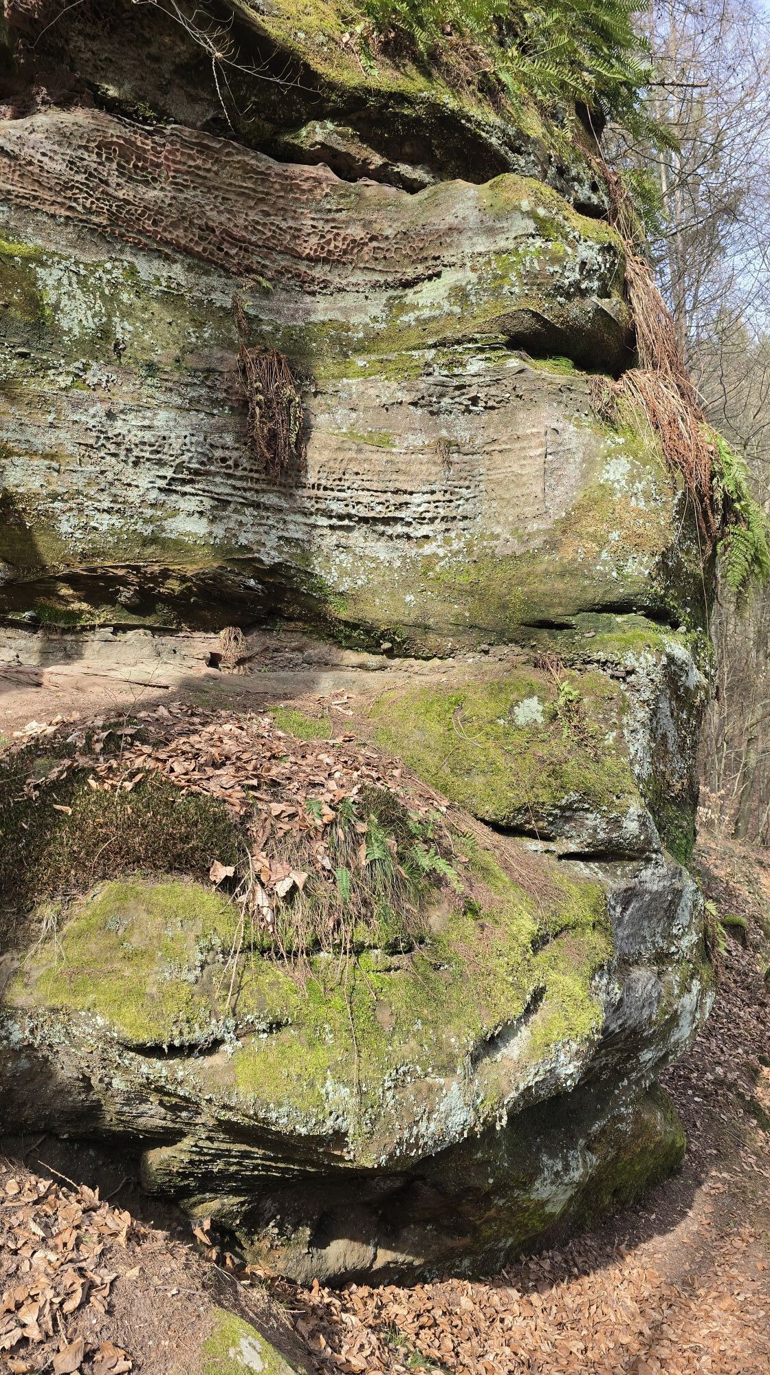
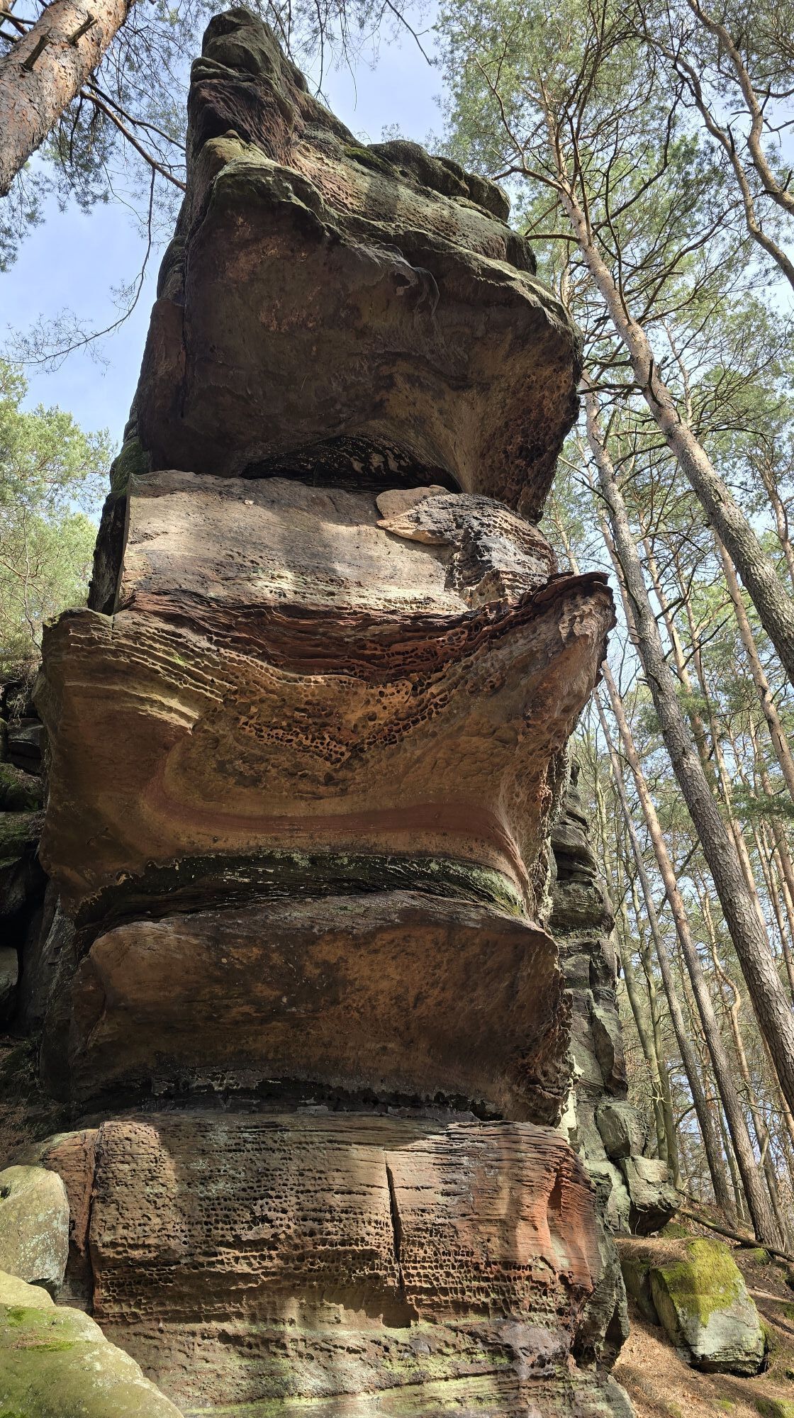
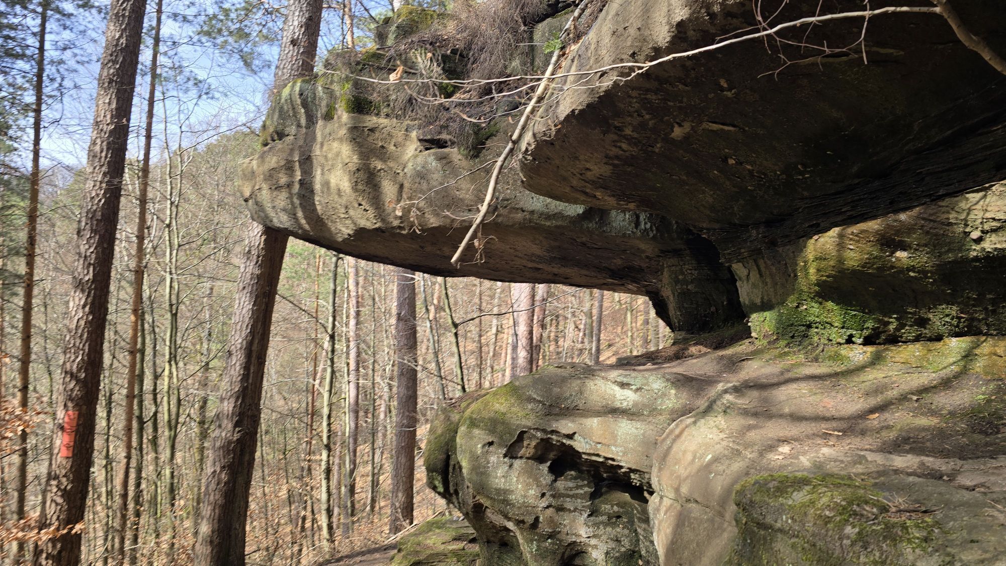
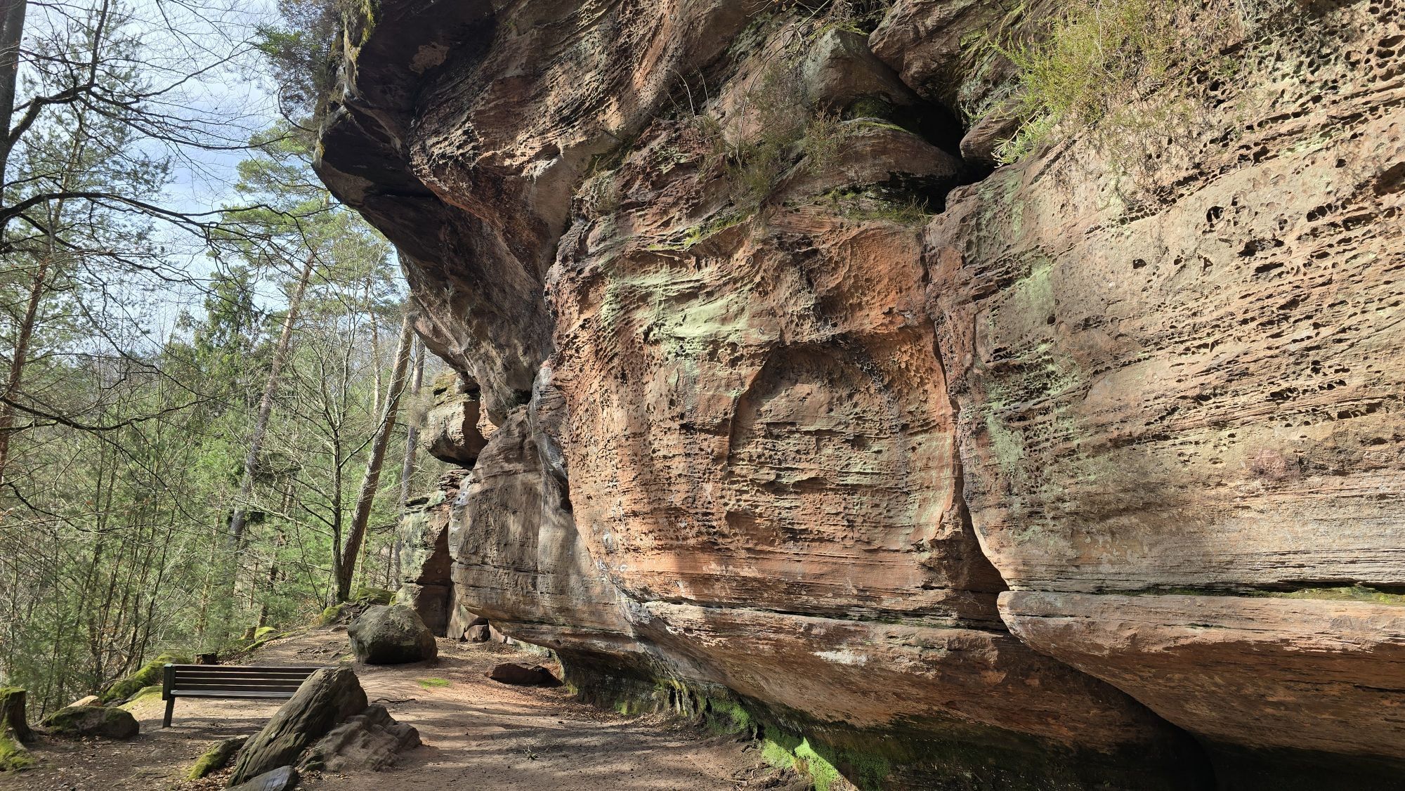
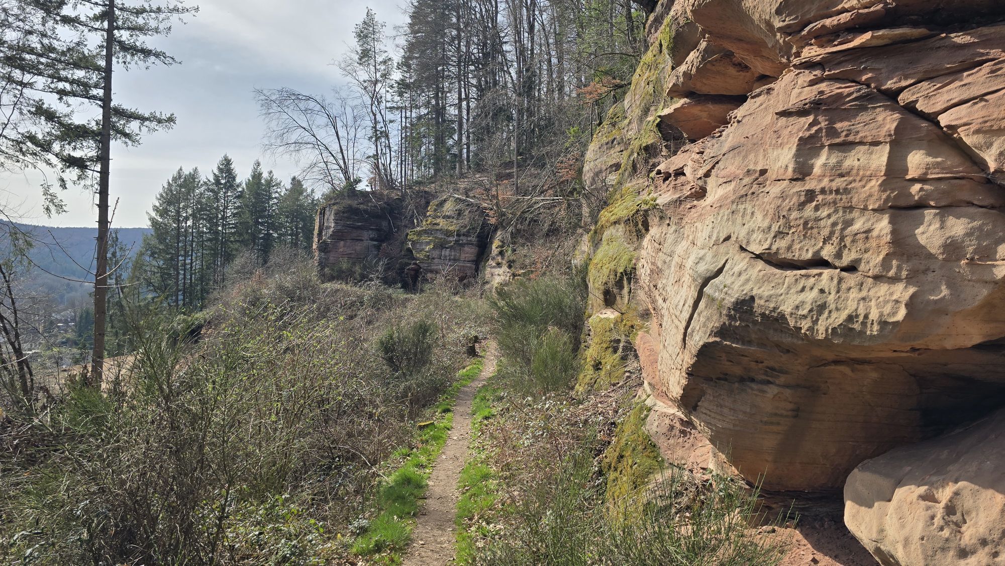
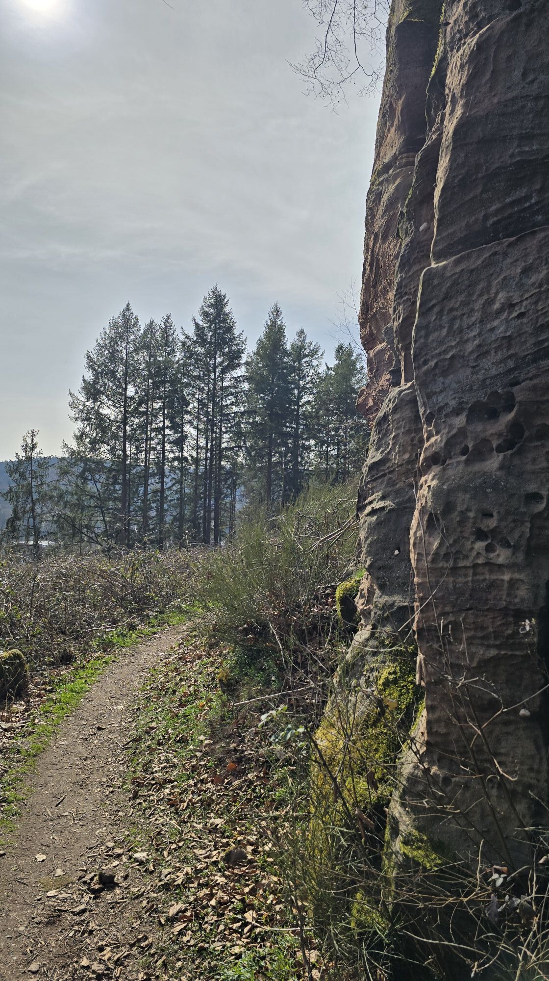
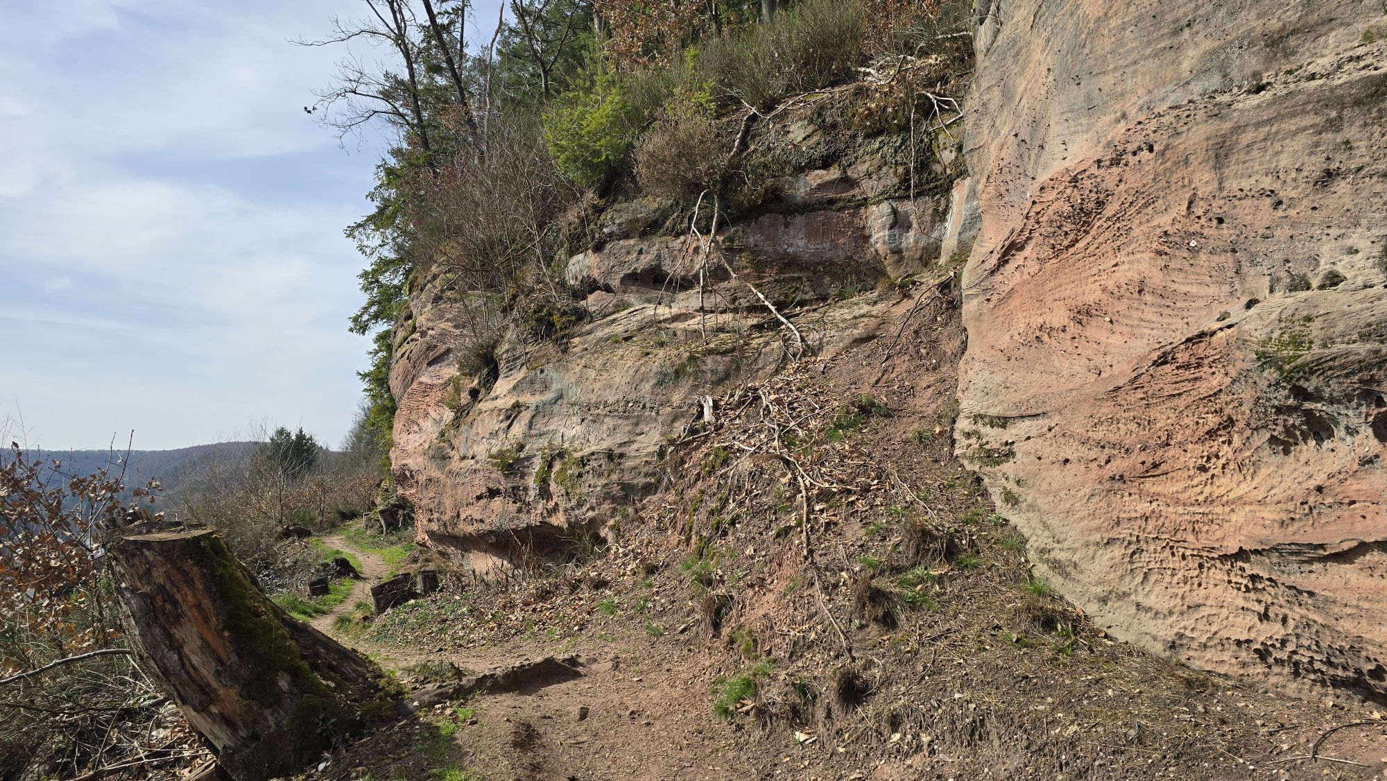
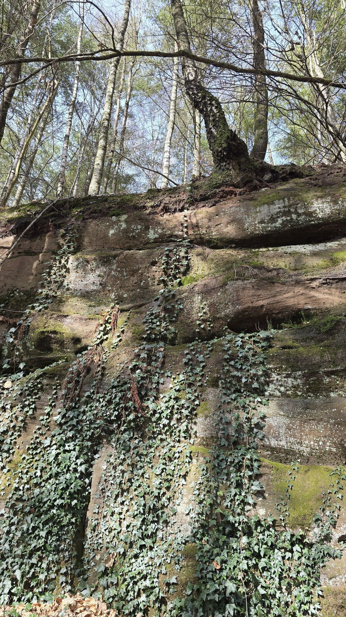
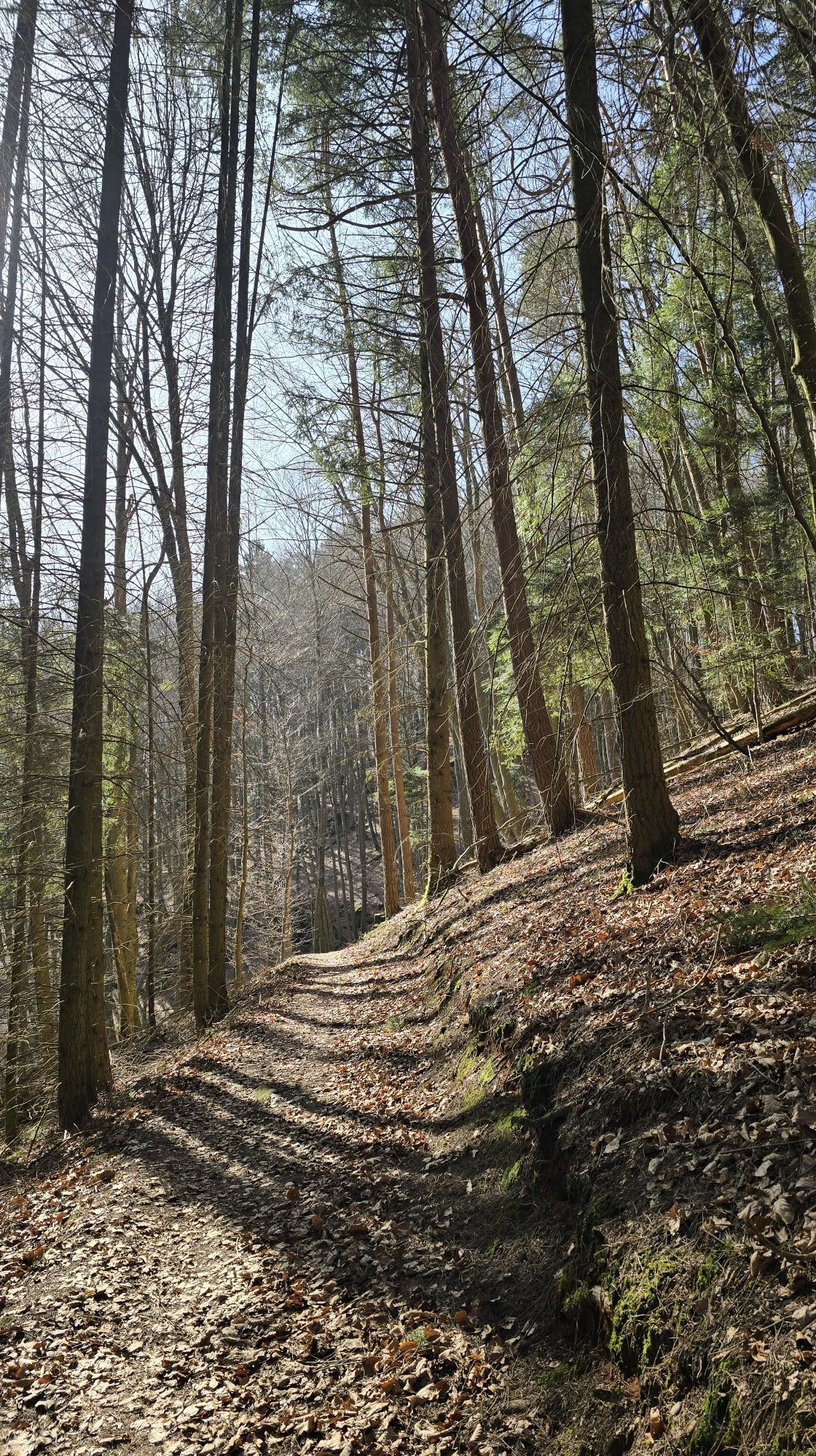
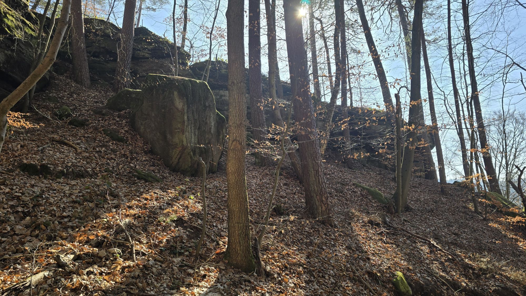
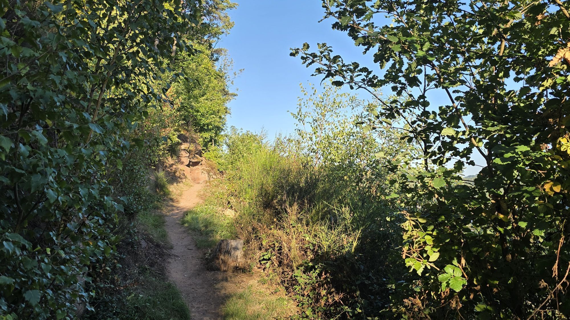
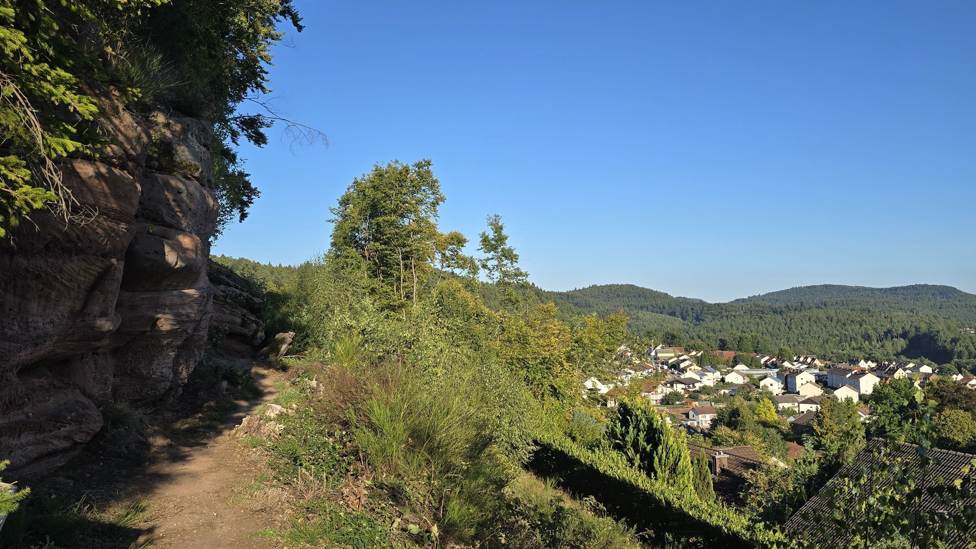
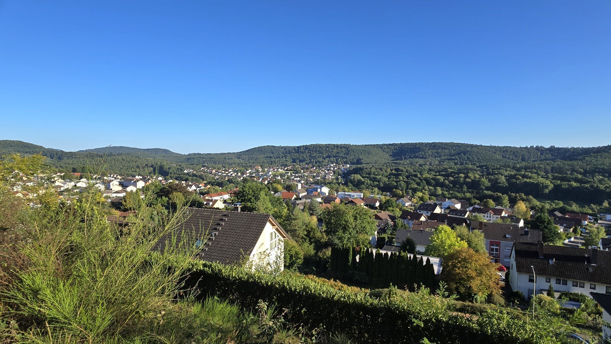
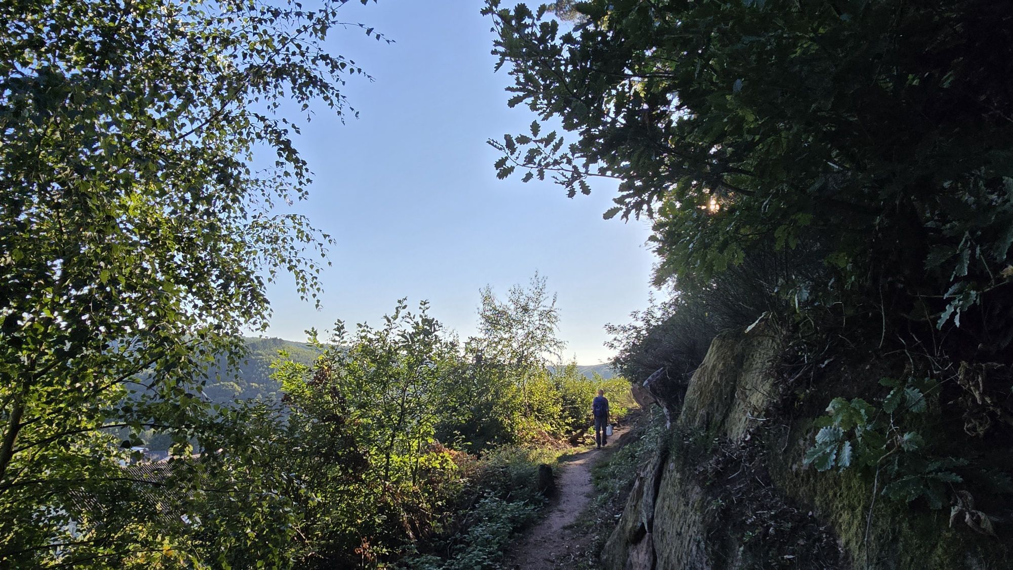
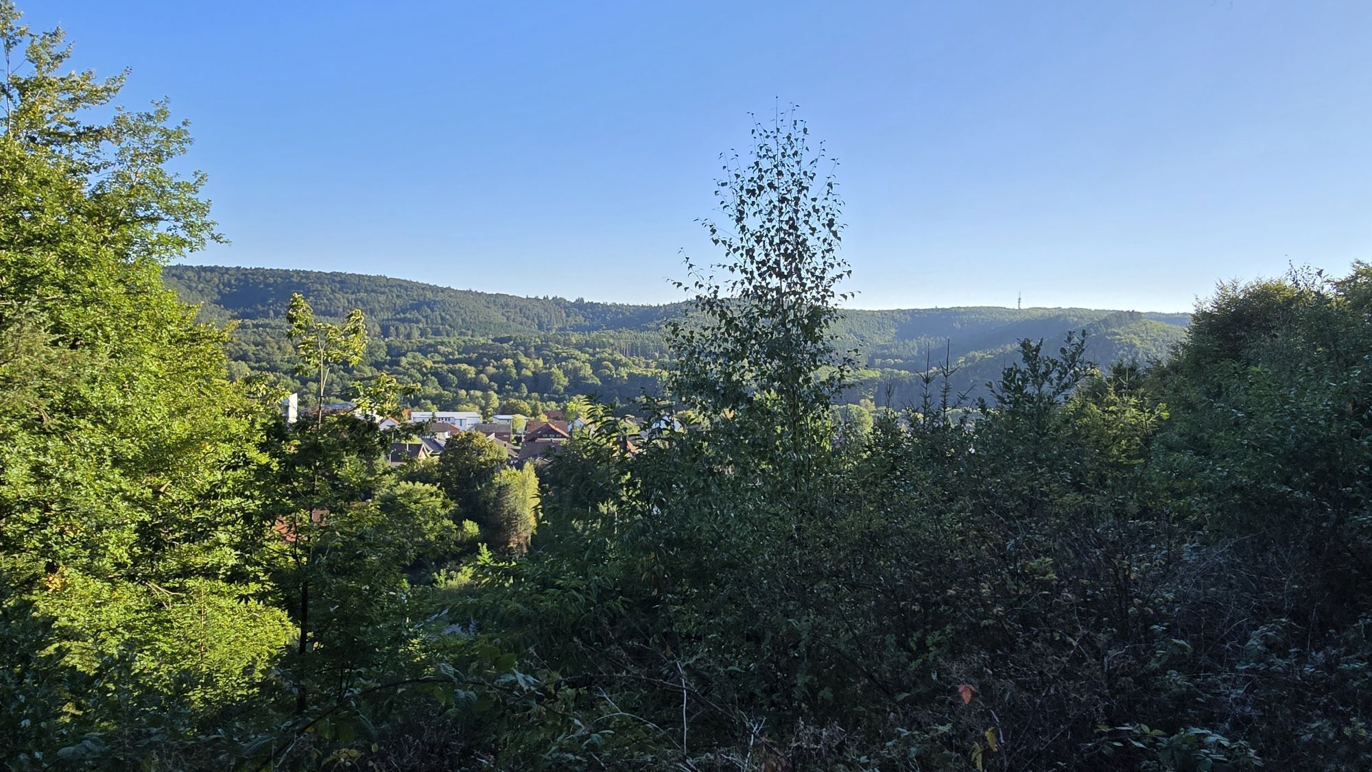
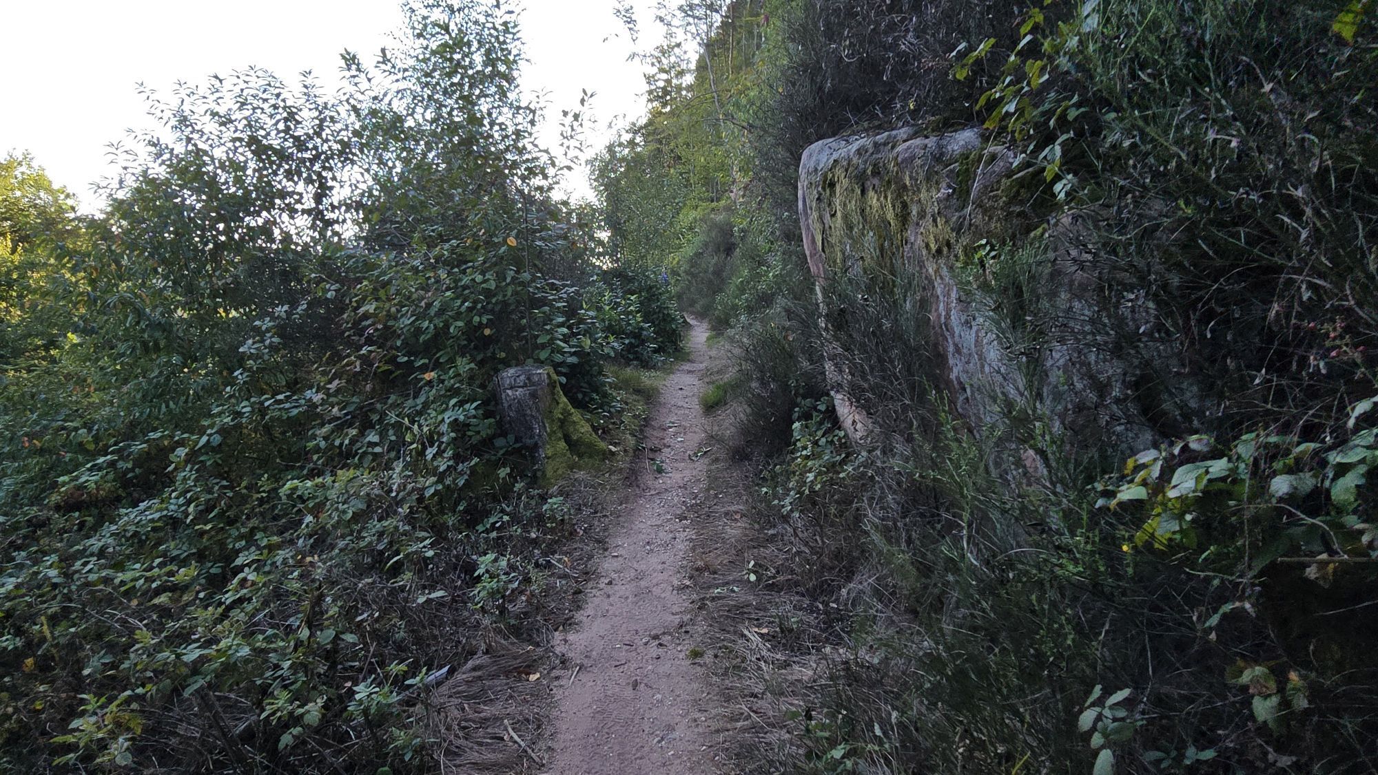
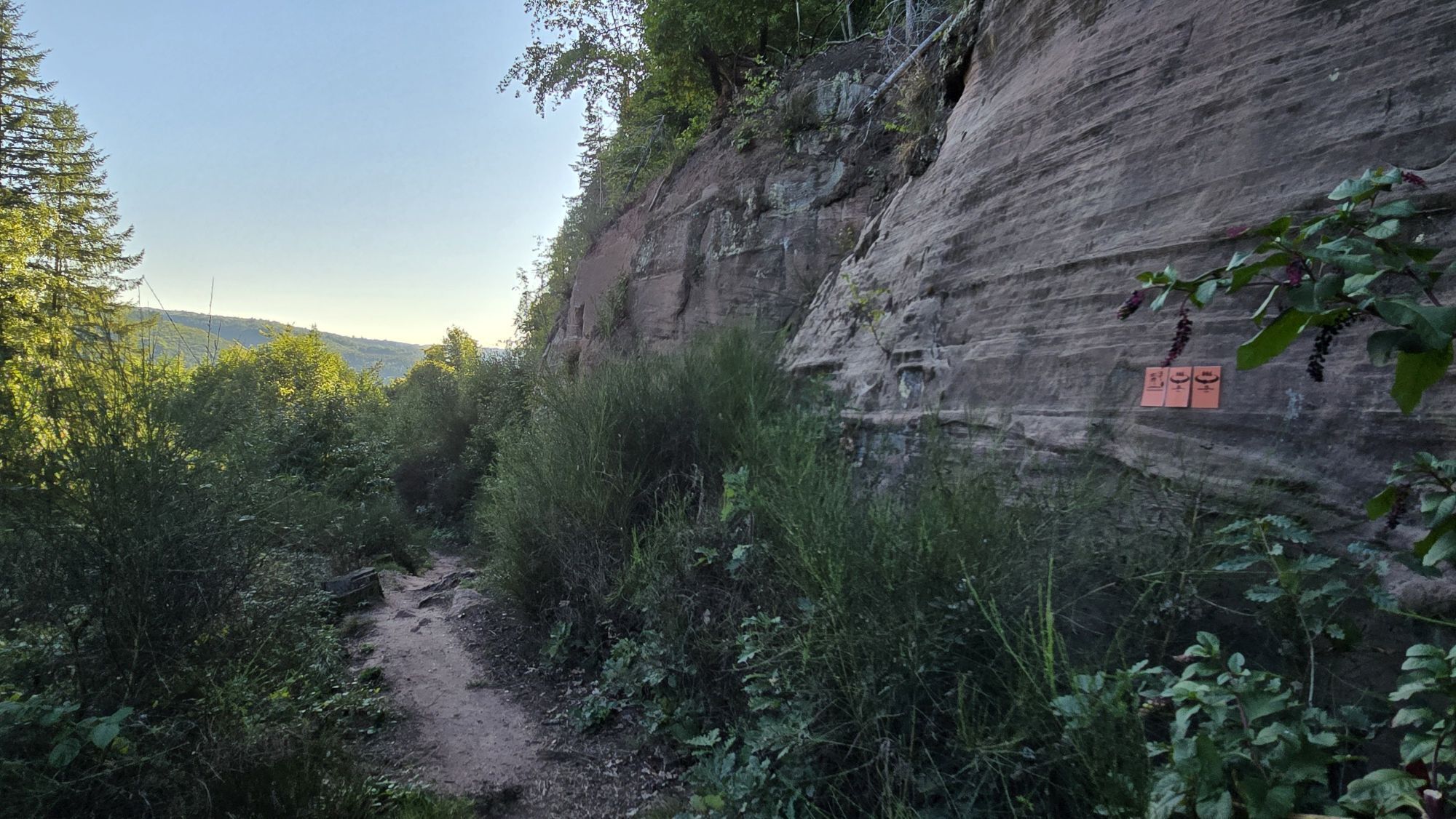
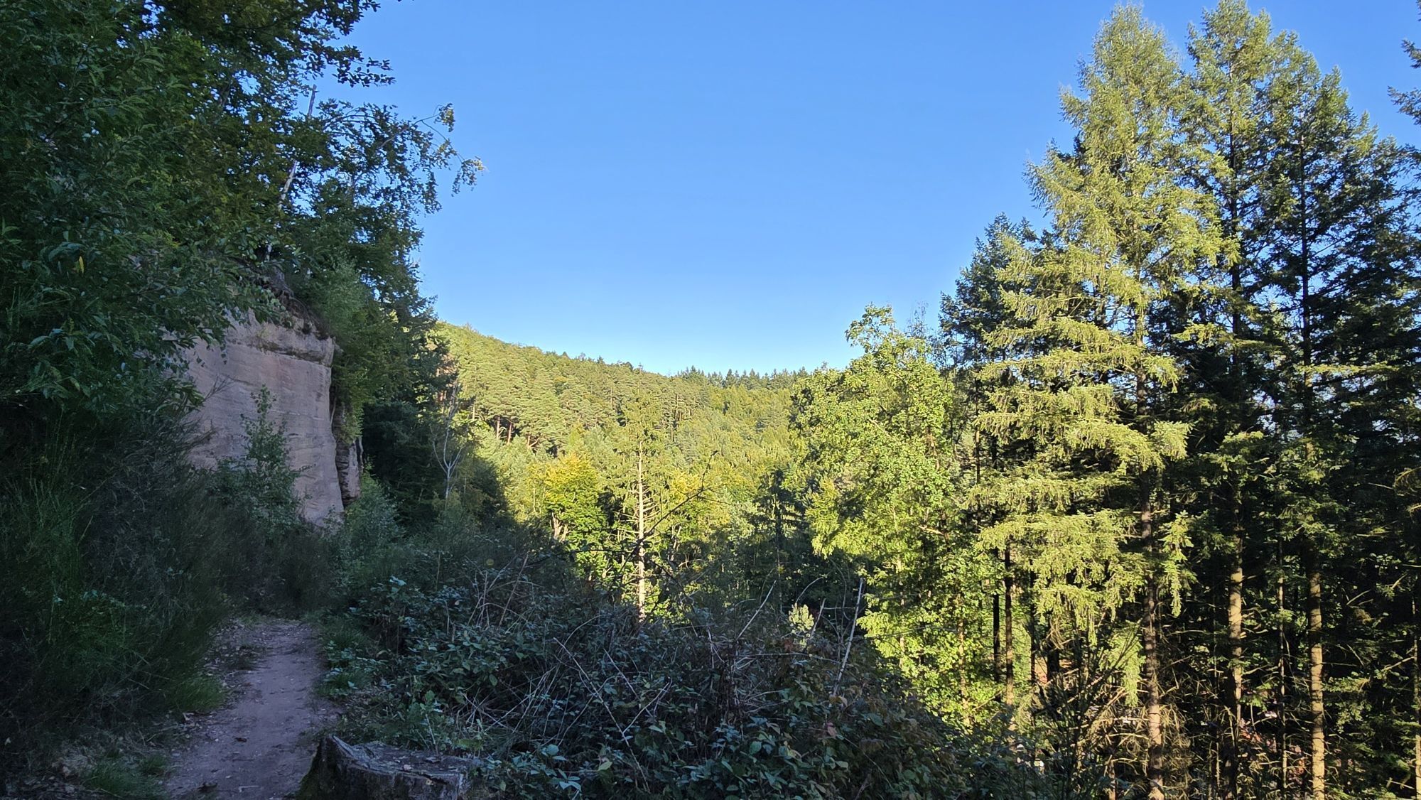
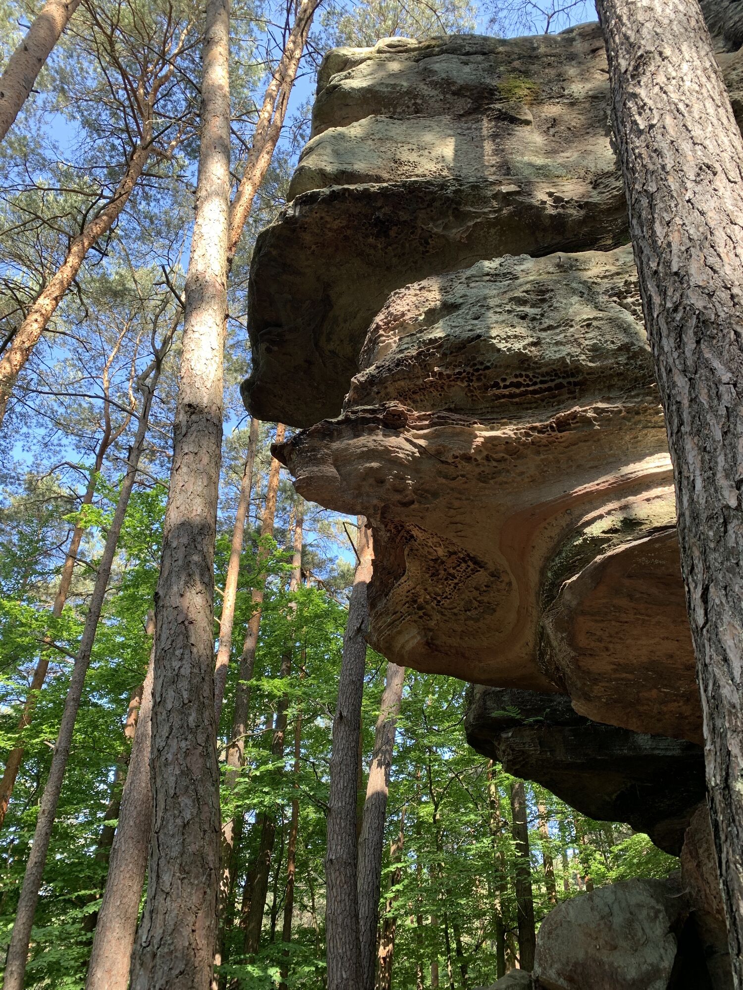
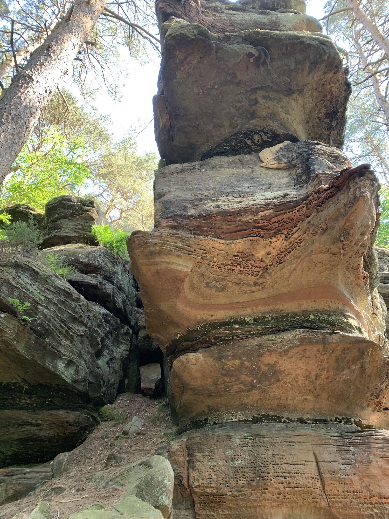
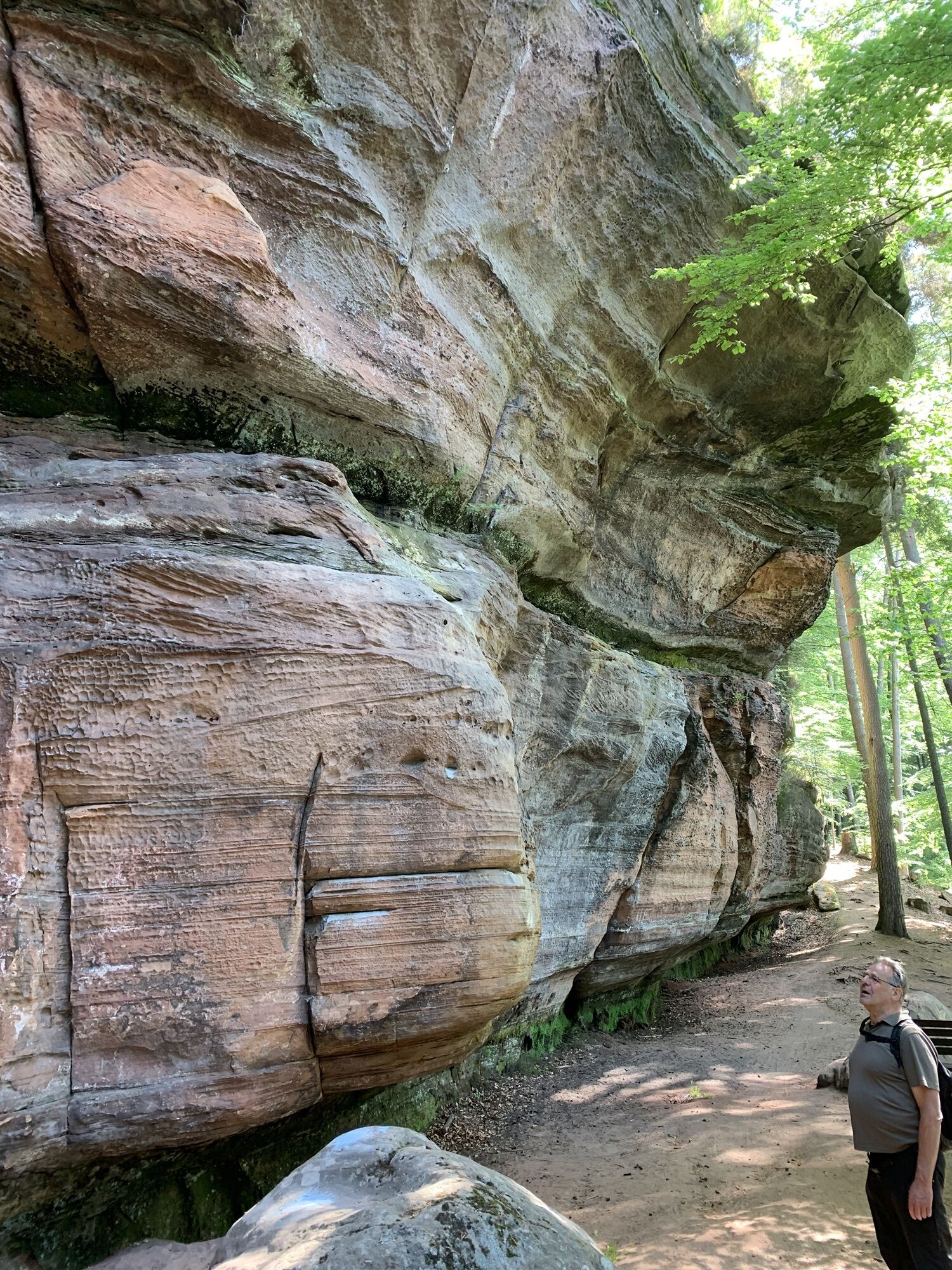
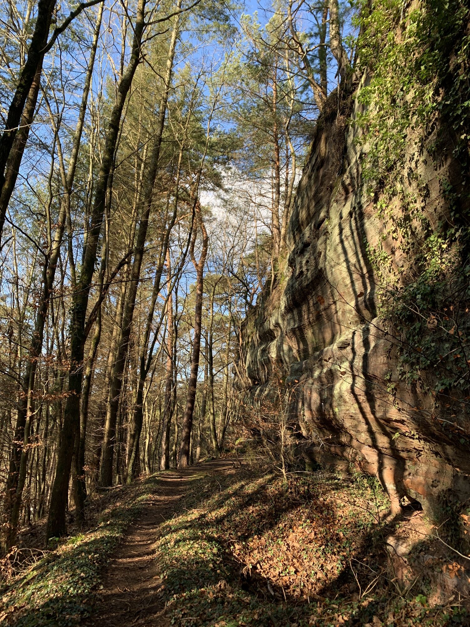
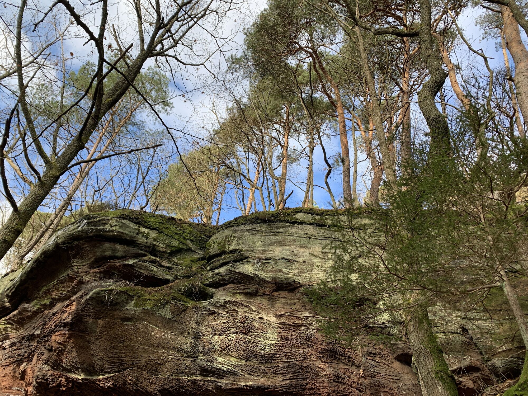
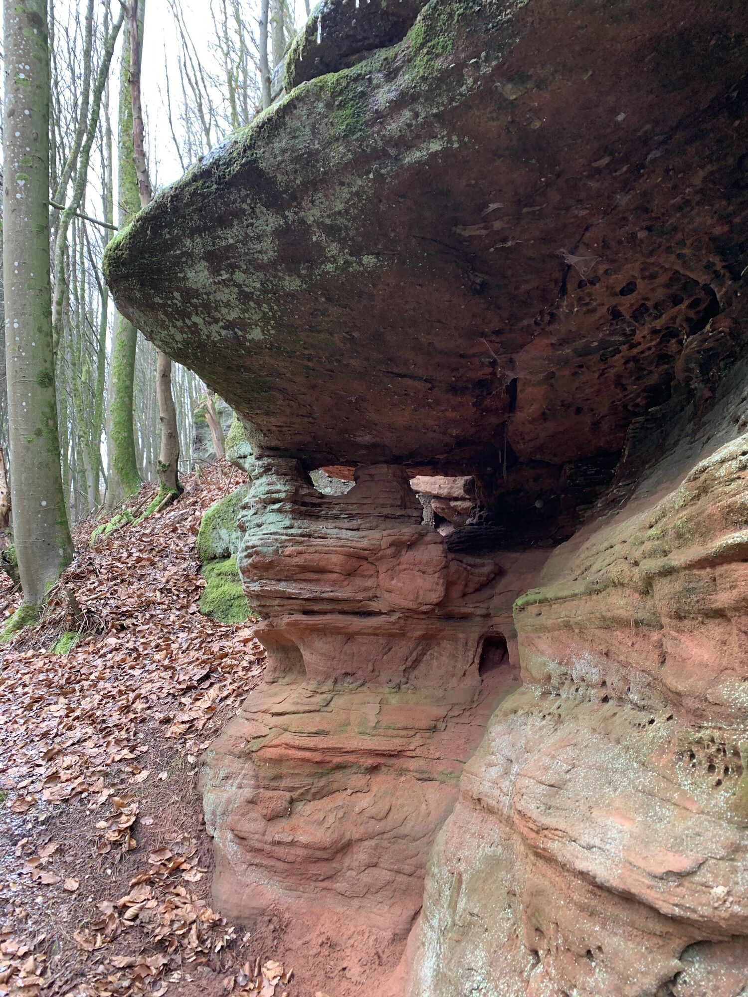
The Rodalber Felsenwanderweg, which can also be hiked in stages, was voted Germany's most beautiful hiking trail in the category of multi-day tours by Wandermagazin in 2022 and achieved an outstanding...
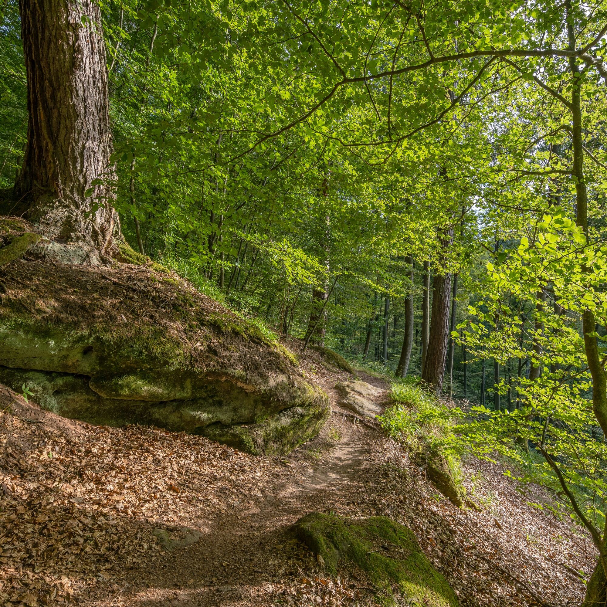
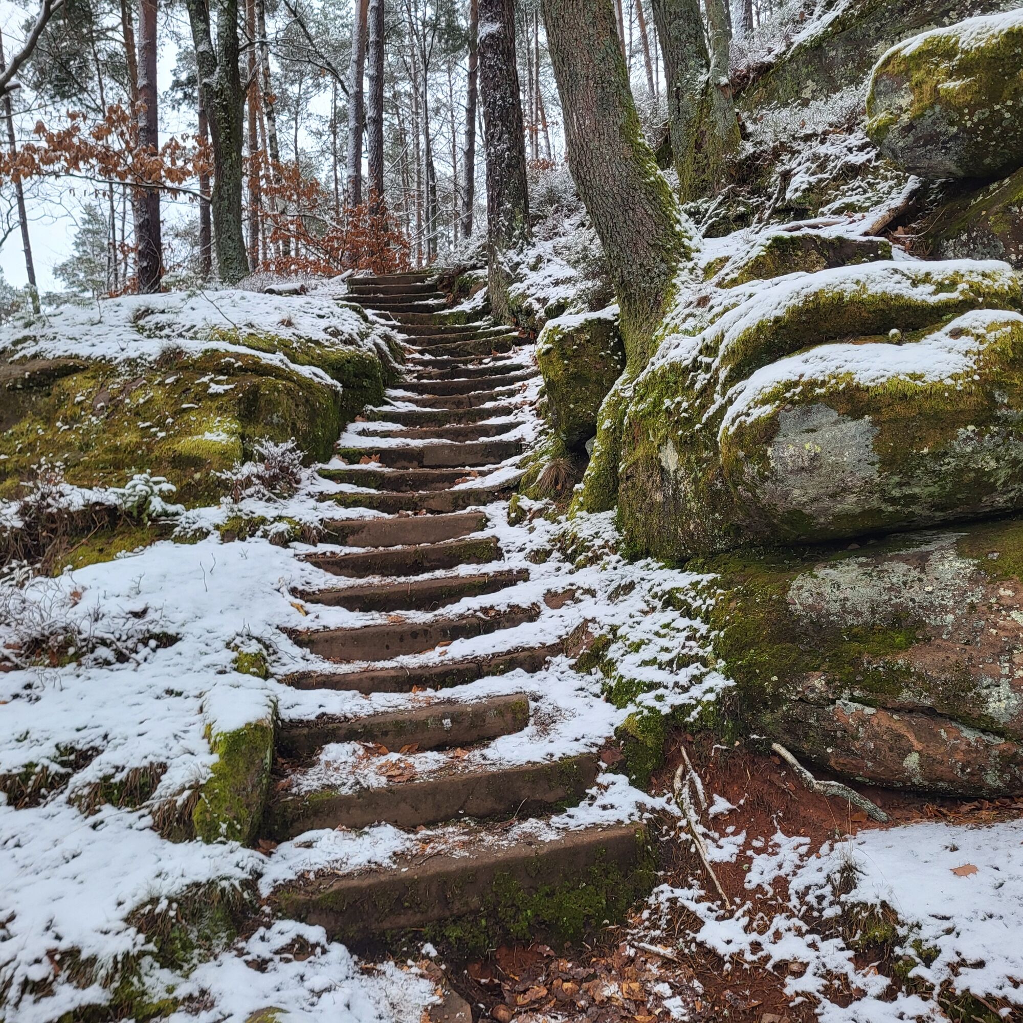
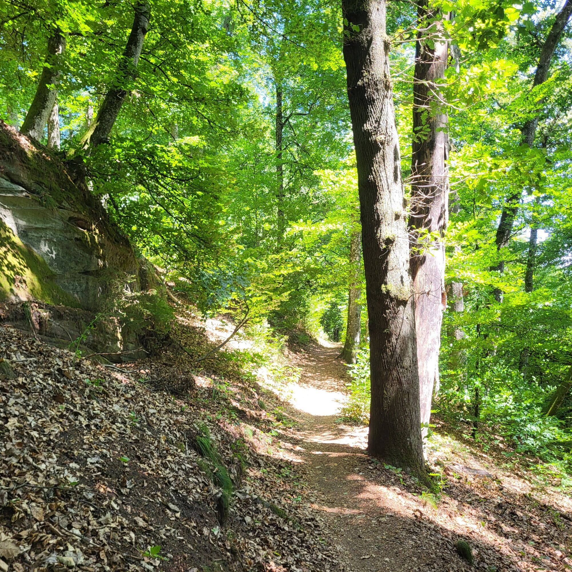
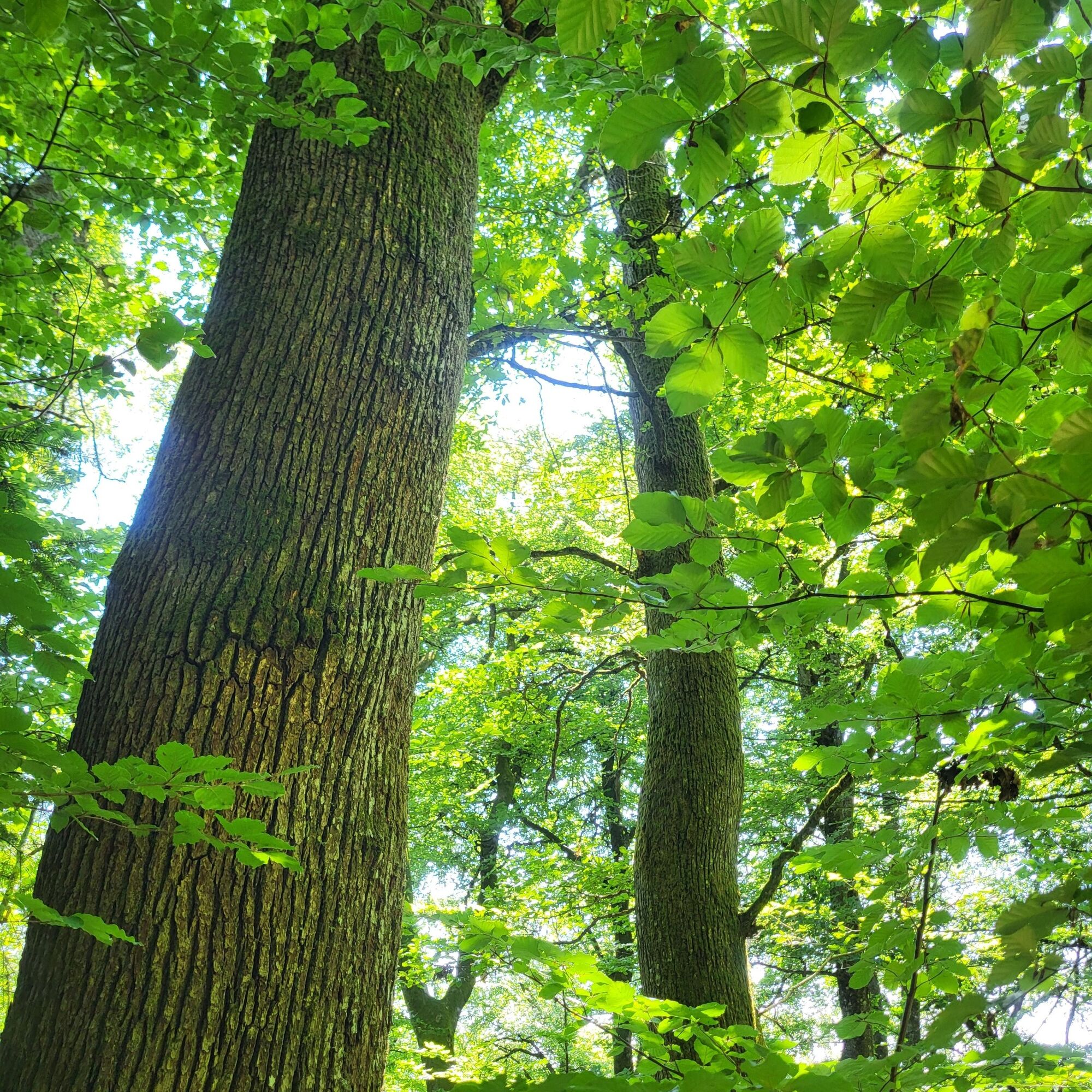
The rocky hiking trail has its charms at any time of year: in spring, nature's greenery literally explodes and you can almost watch the branches and shoots grow. Summer offers cool and pleasant air, as most of the trail runs through beautiful nature park forests. The so-called "Indian summer" is particularly attractive in the autumn months with all its colorful splendor, before the forest then falls into its winter sleep, snow and ice take over and conjure up imaginative formations on the rocks.
UFFBASSE! - Campaign for considerate coexistence in nature
Fire & smoking - Lighting fires, smoking and barbecues are strictly prohibited in the forest and must be avoided at all costs! This is the only way to prevent fires and the resulting damage to nature and wildlife.
Be considerate when out and about - Always behave in a forward-looking, friendly and considerate manner towards everyone you meet along the way.
Nature conservation - Stay on the designated paths and avoid unnecessary noise when you are out in nature. Leave the forest at dusk at the latest so as not to disturb the rhythm of nocturnal animals.
Picnic & garbage - Remember to take a garbage bag with you and take your garbage home with you. Only use the furnished rest areas for breaks and picnics.
Dogs on a lead - Please keep your dog on a lead at all times. Other visitors and animals will thank you for it.
Further information at: www.pfalz.de/uffbasse
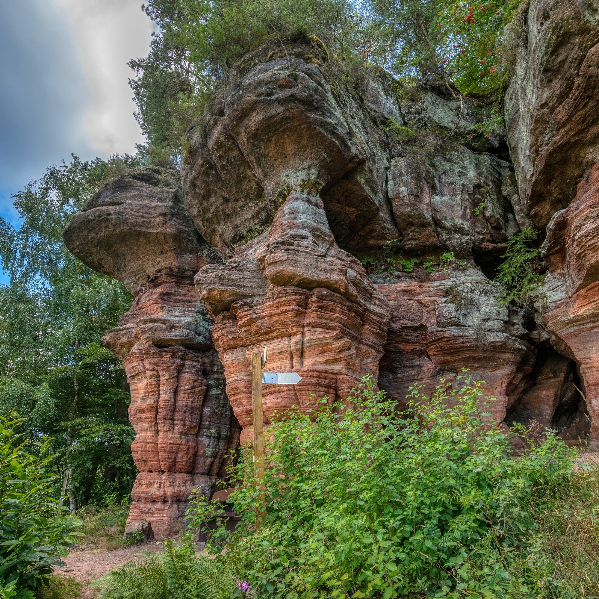
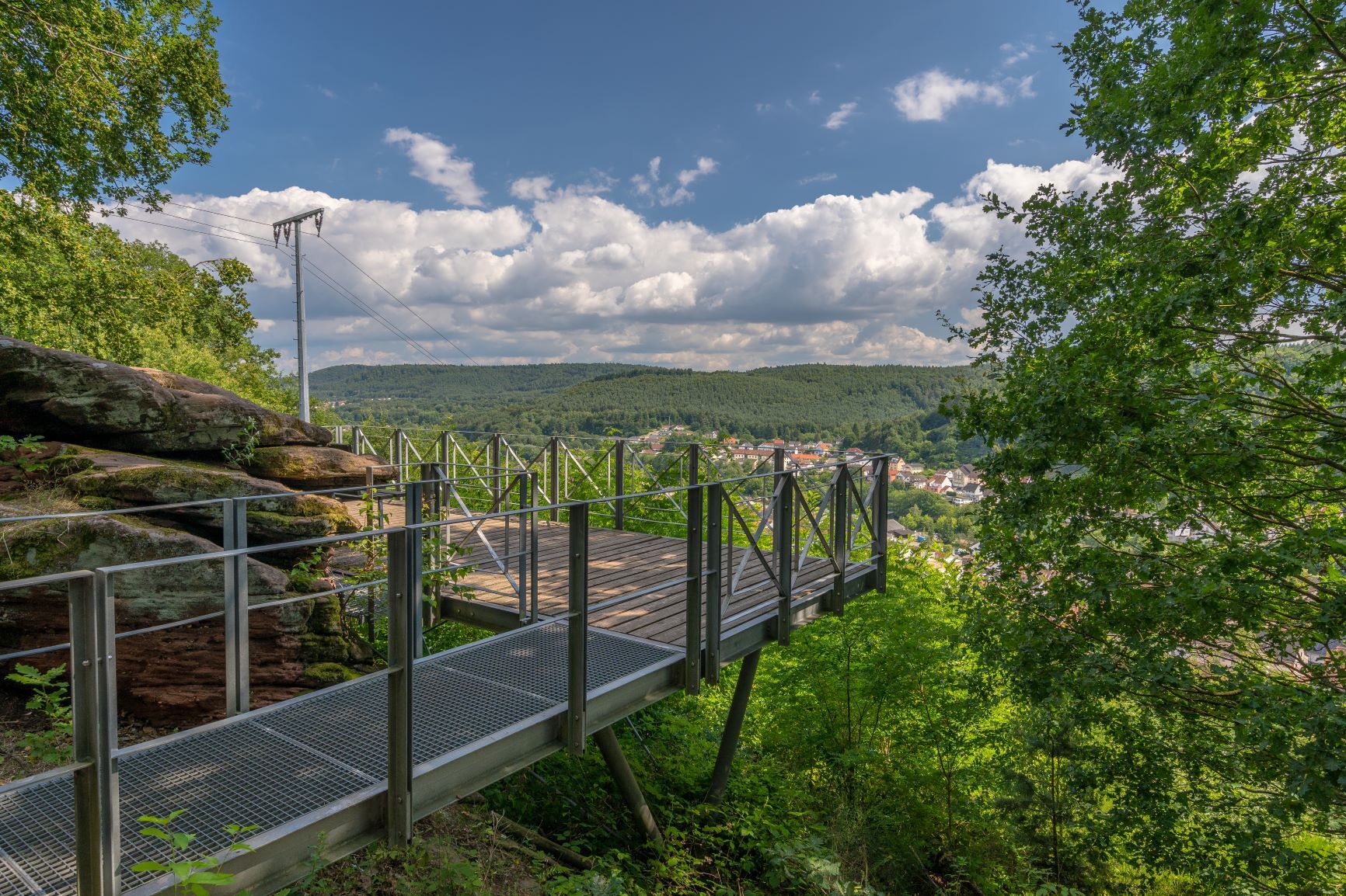
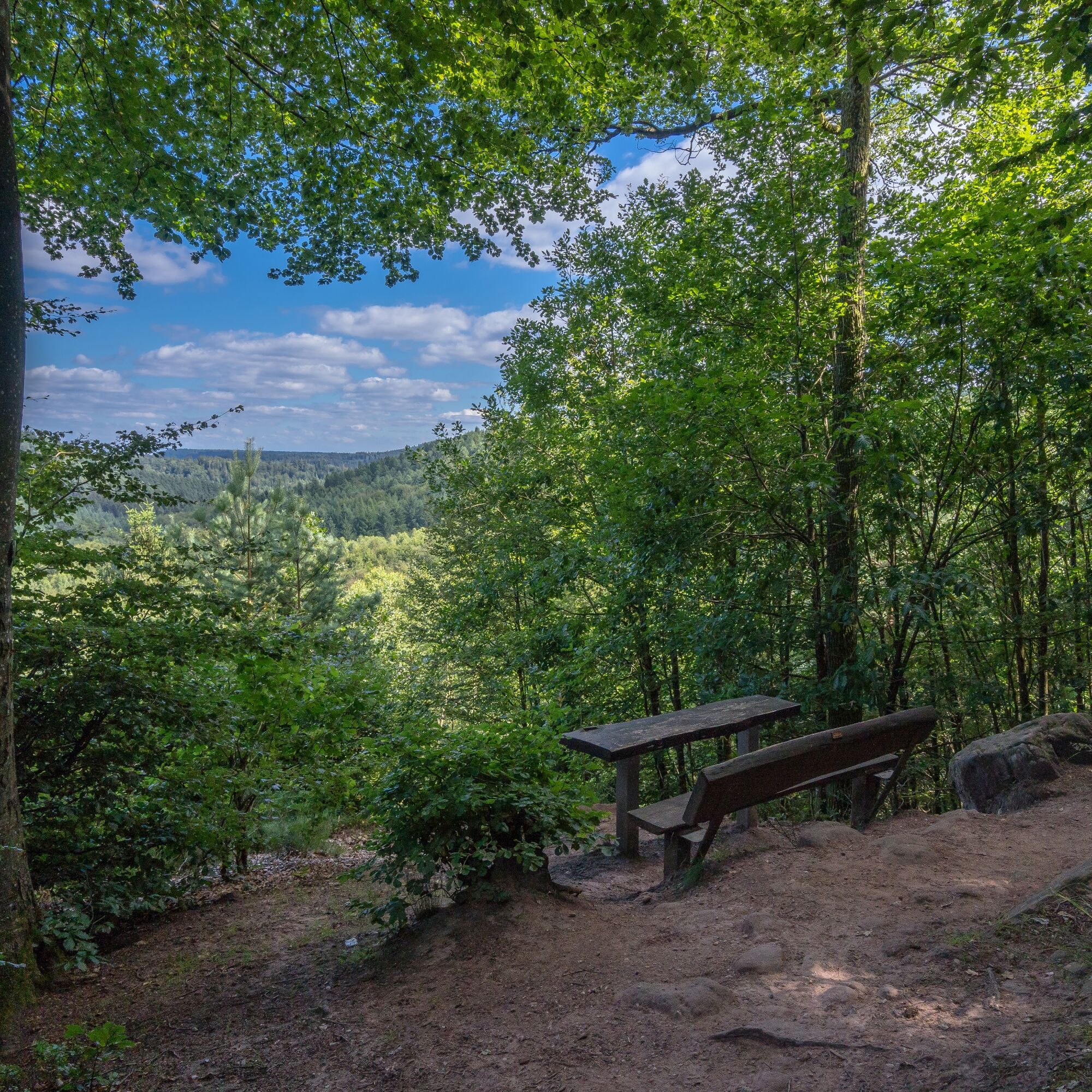
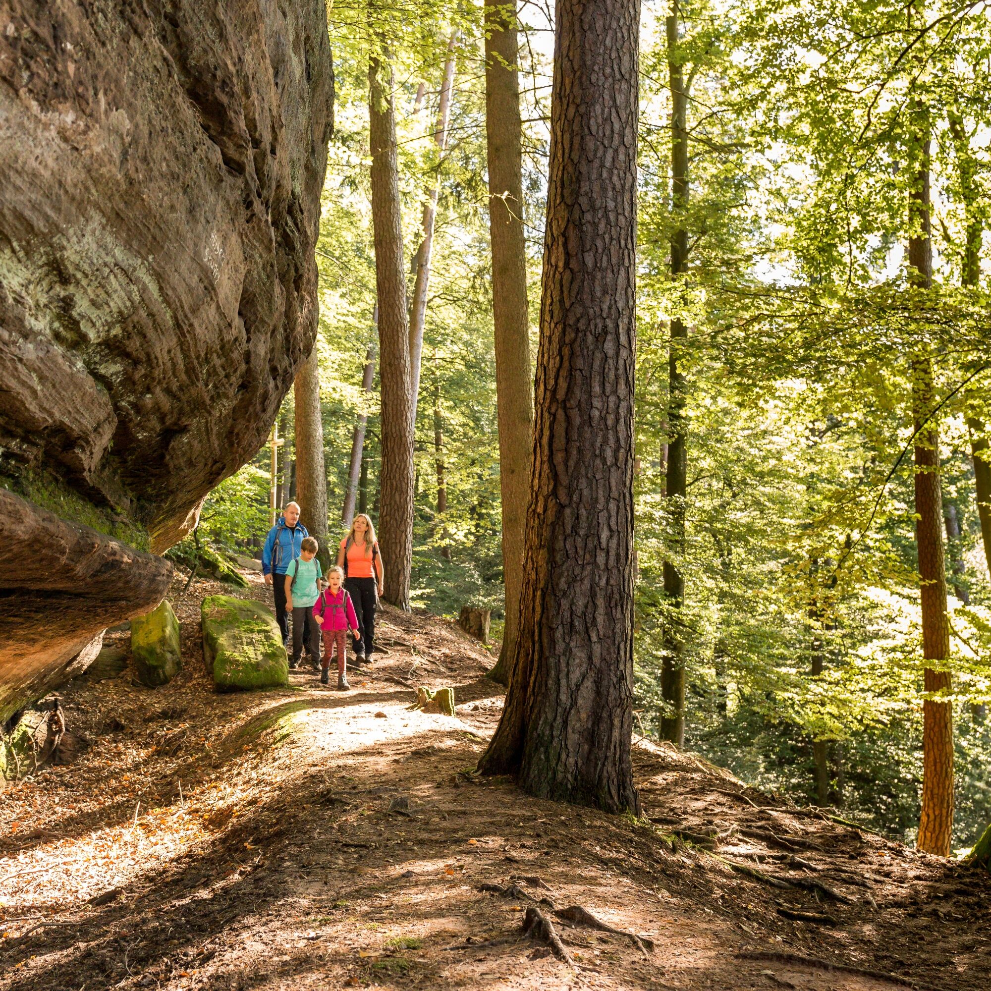
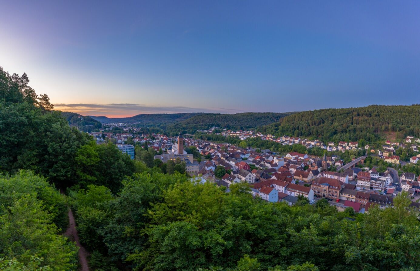
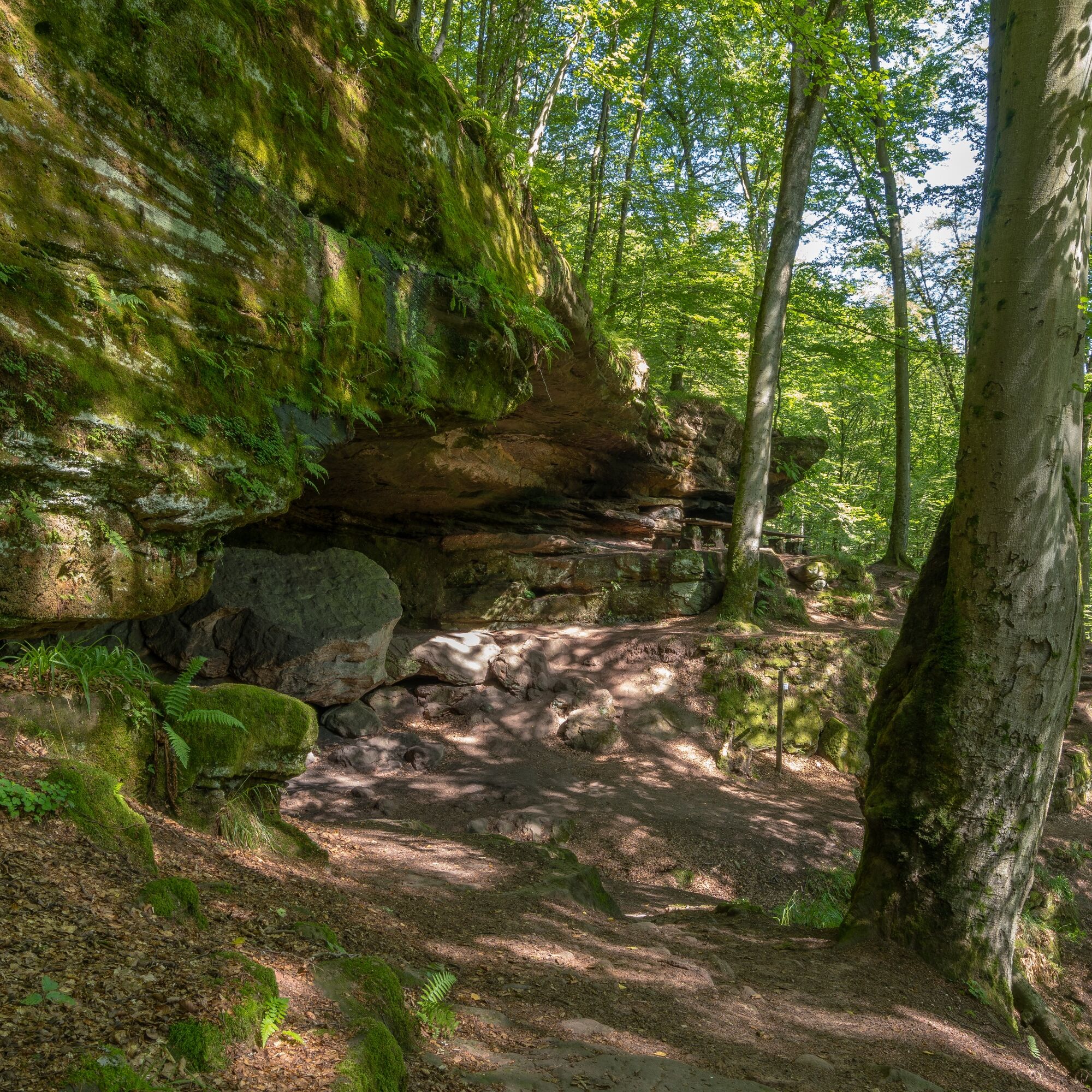
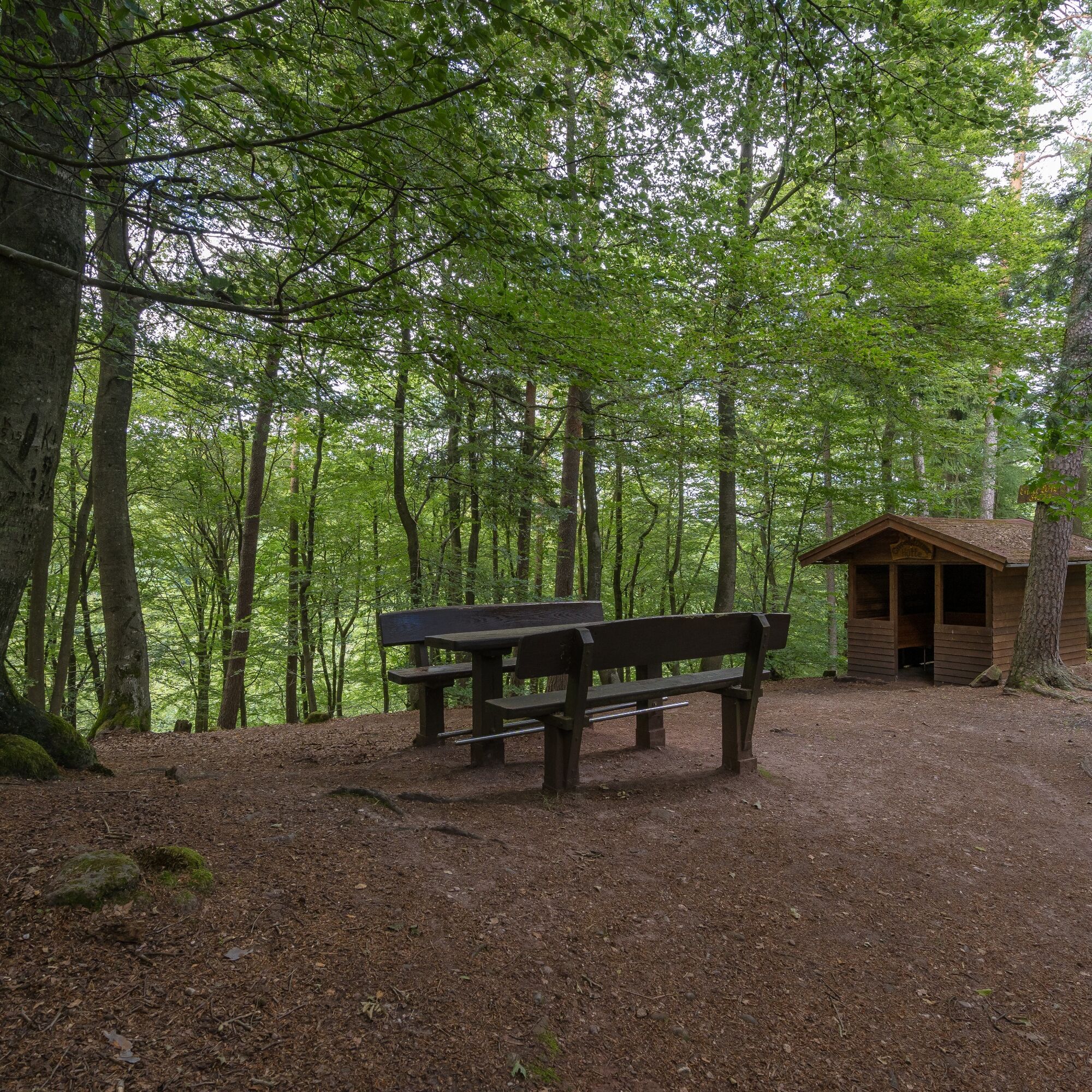
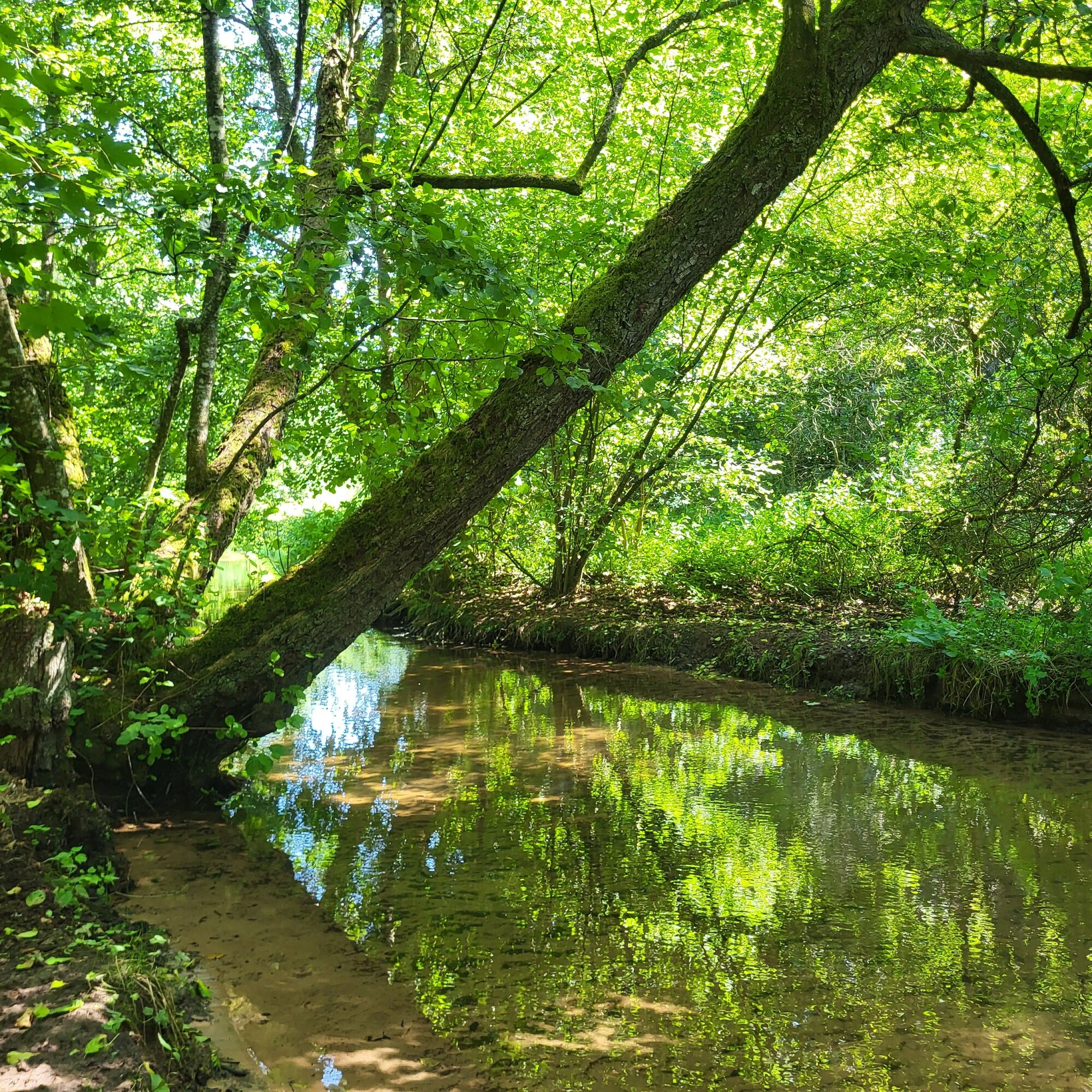
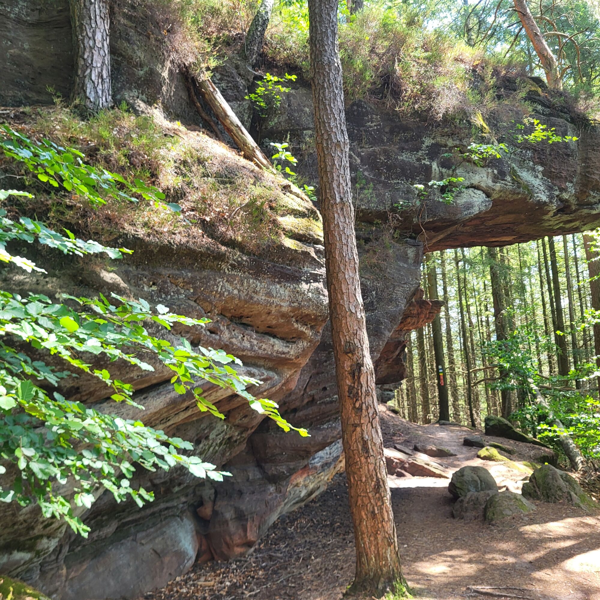
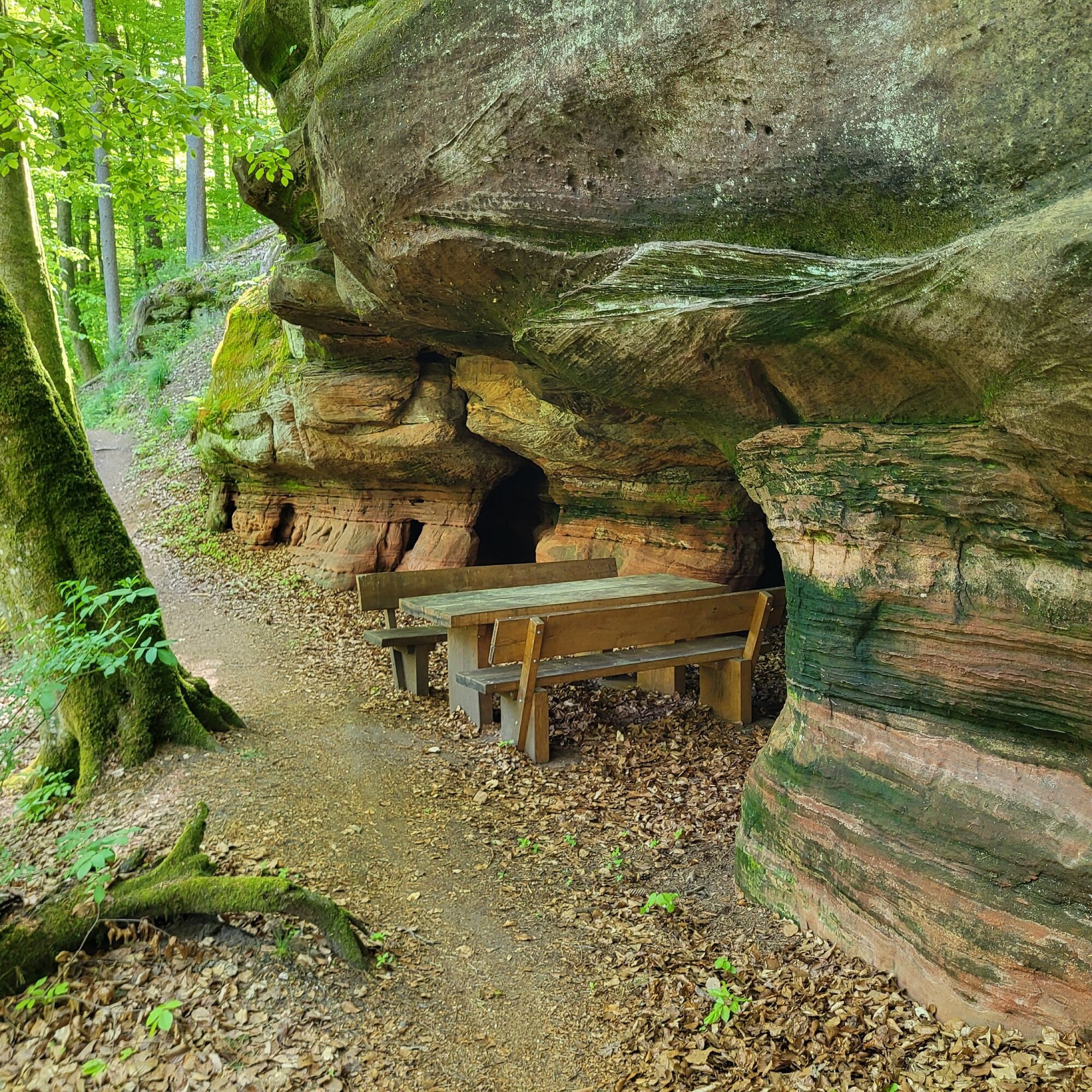
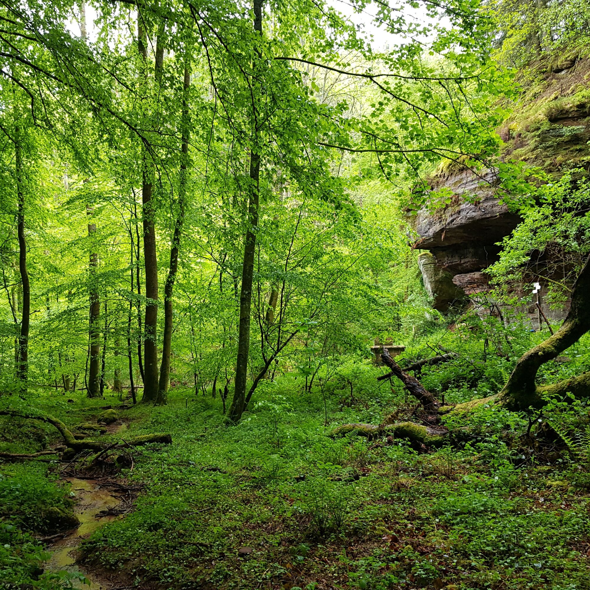
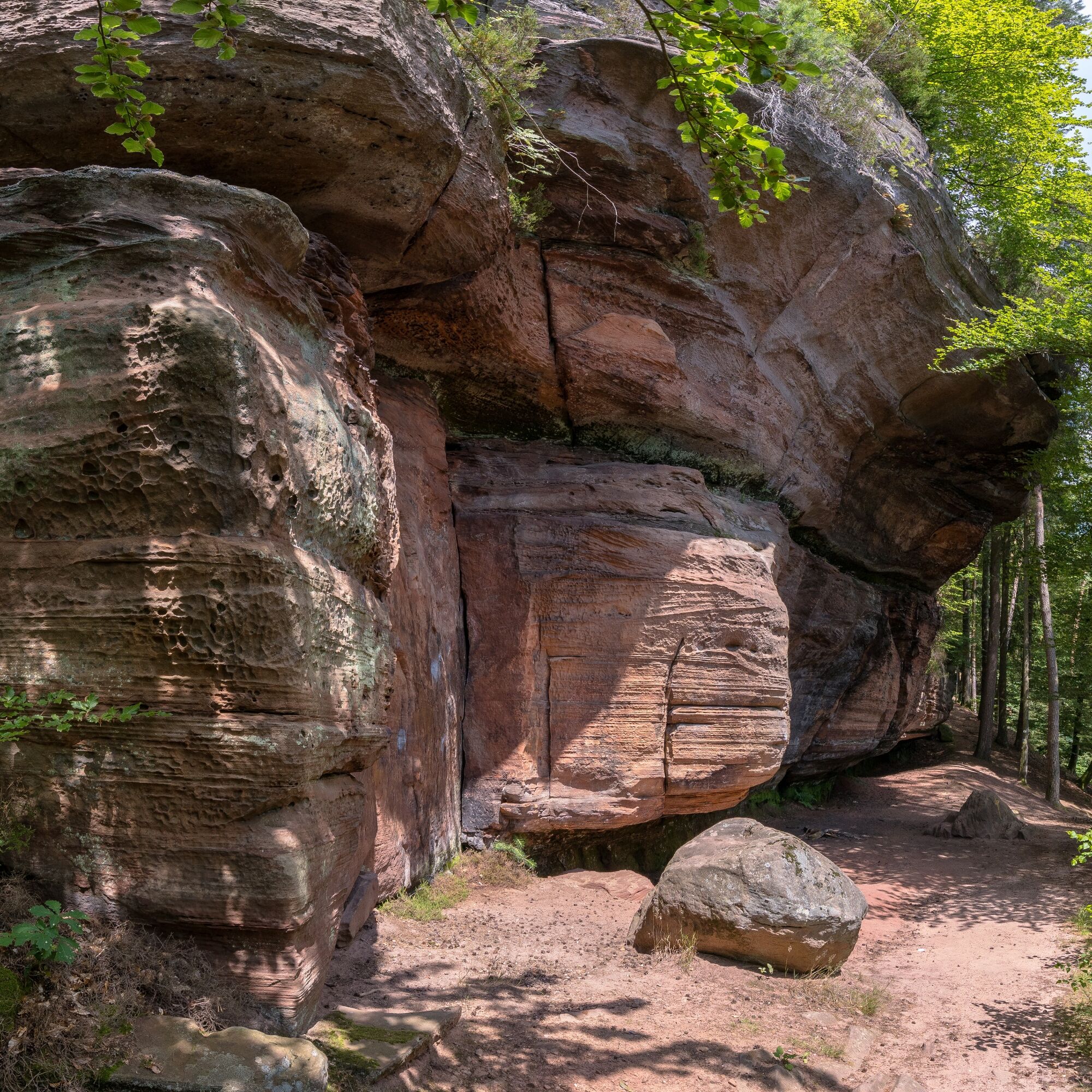
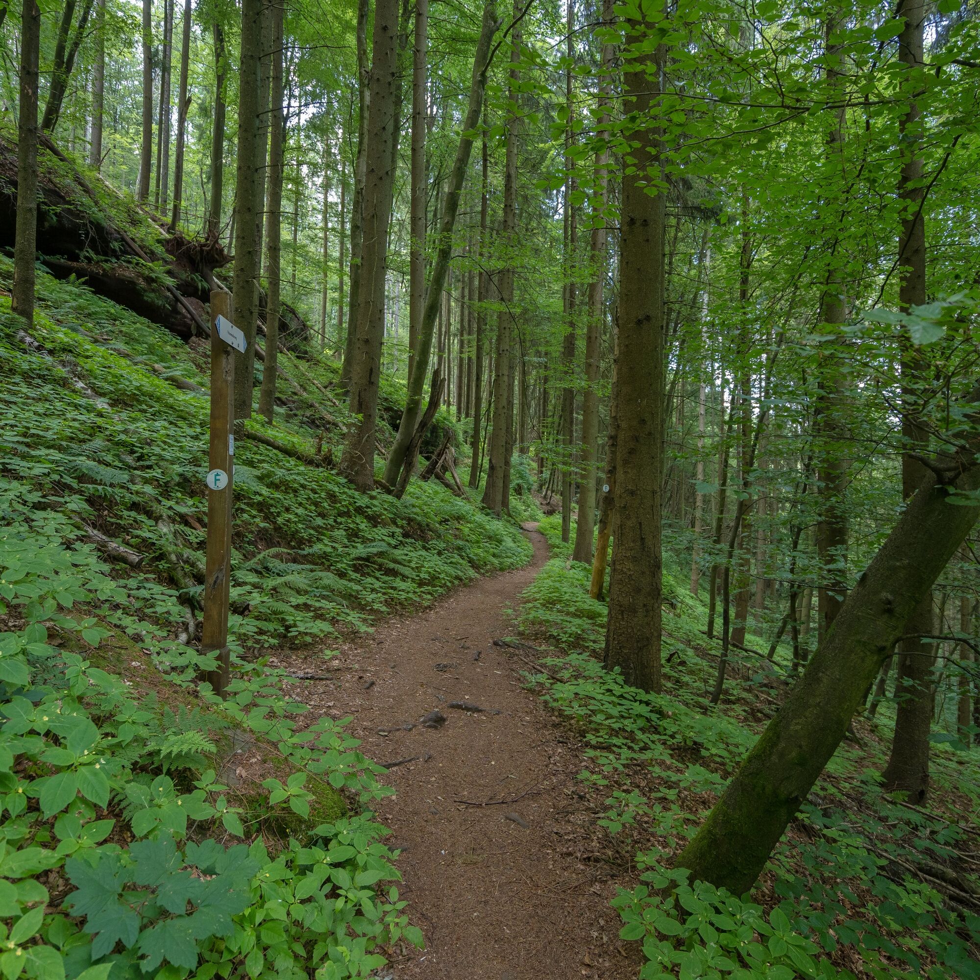
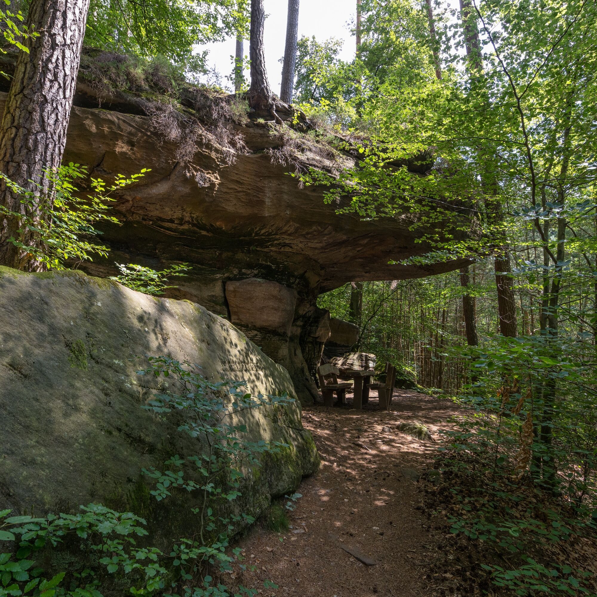
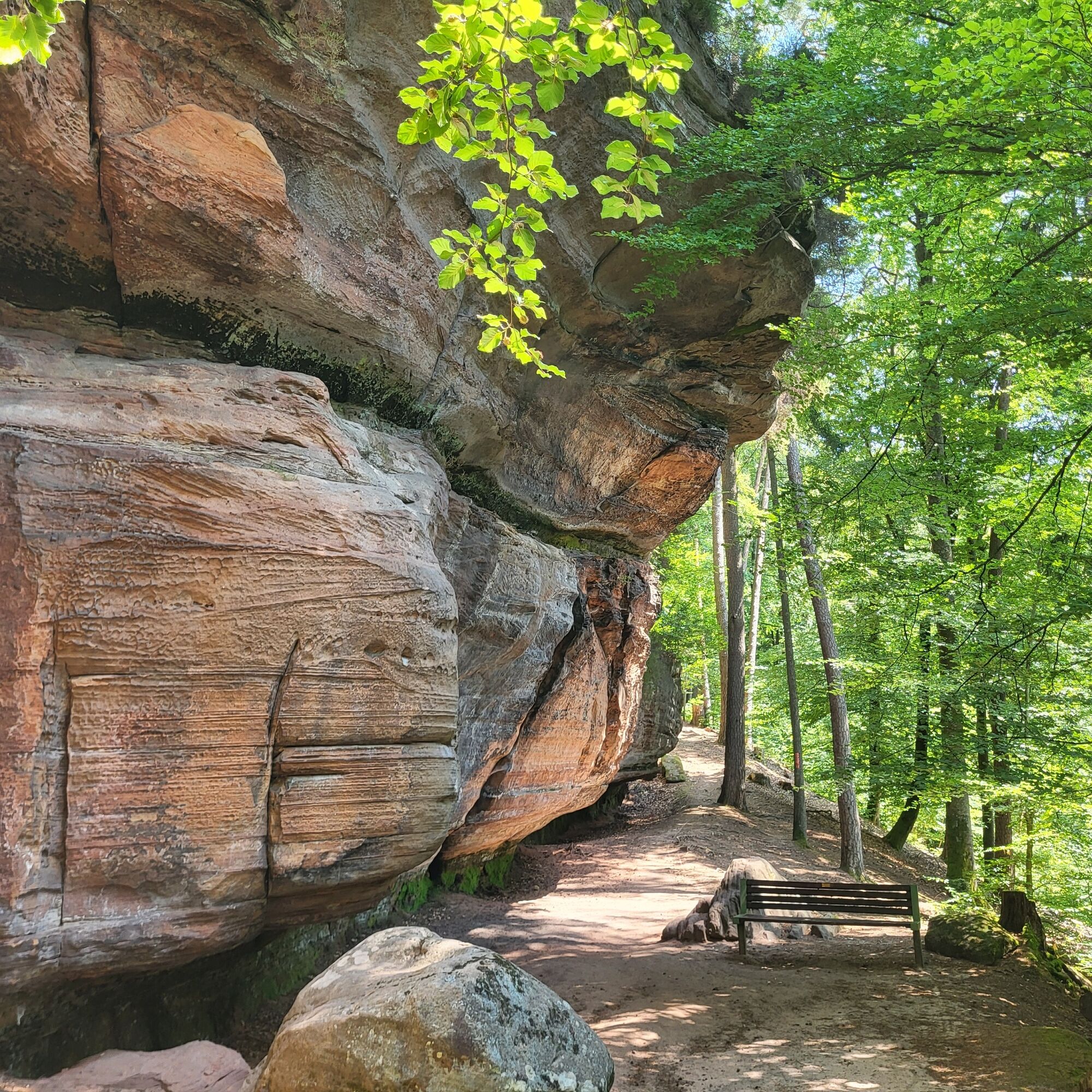
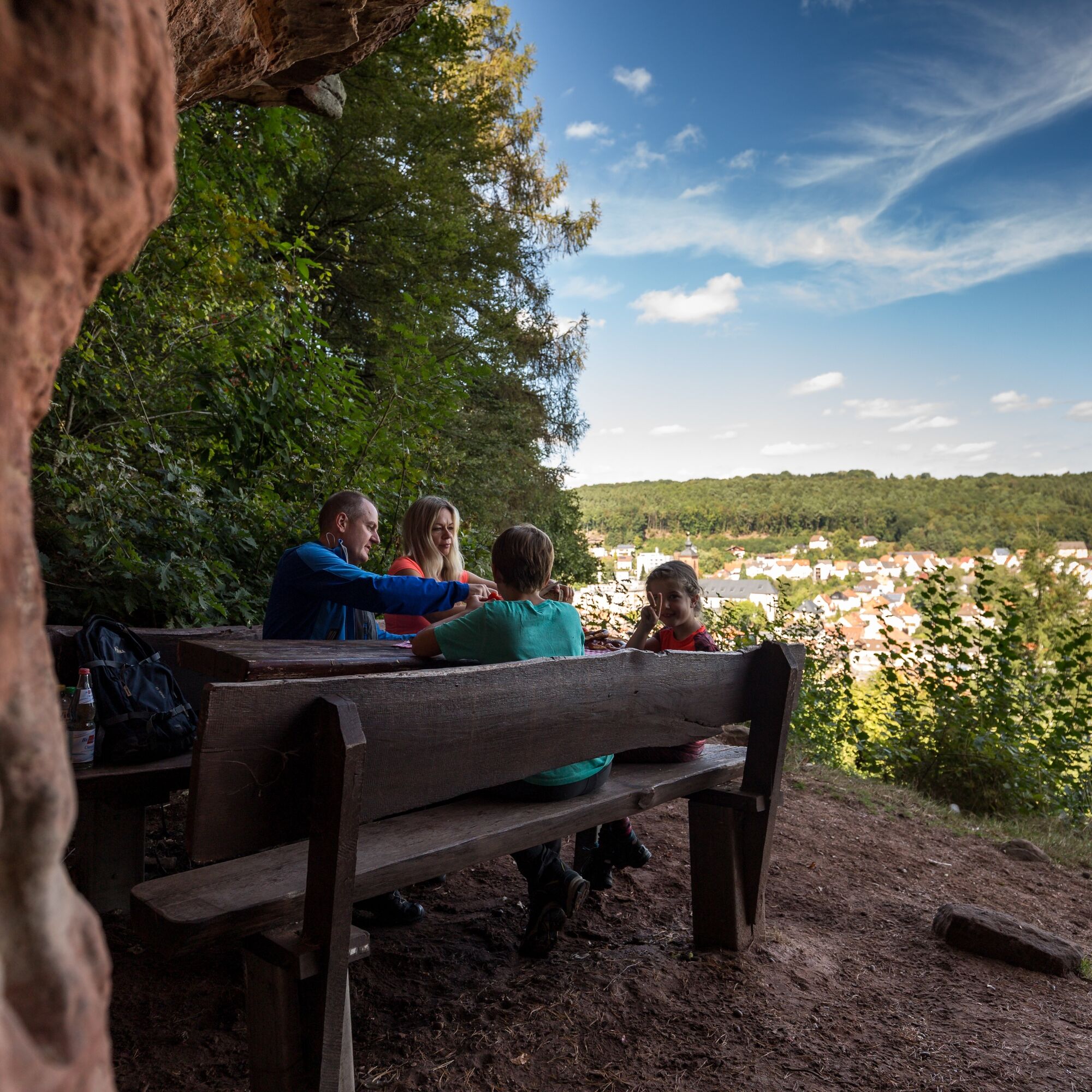
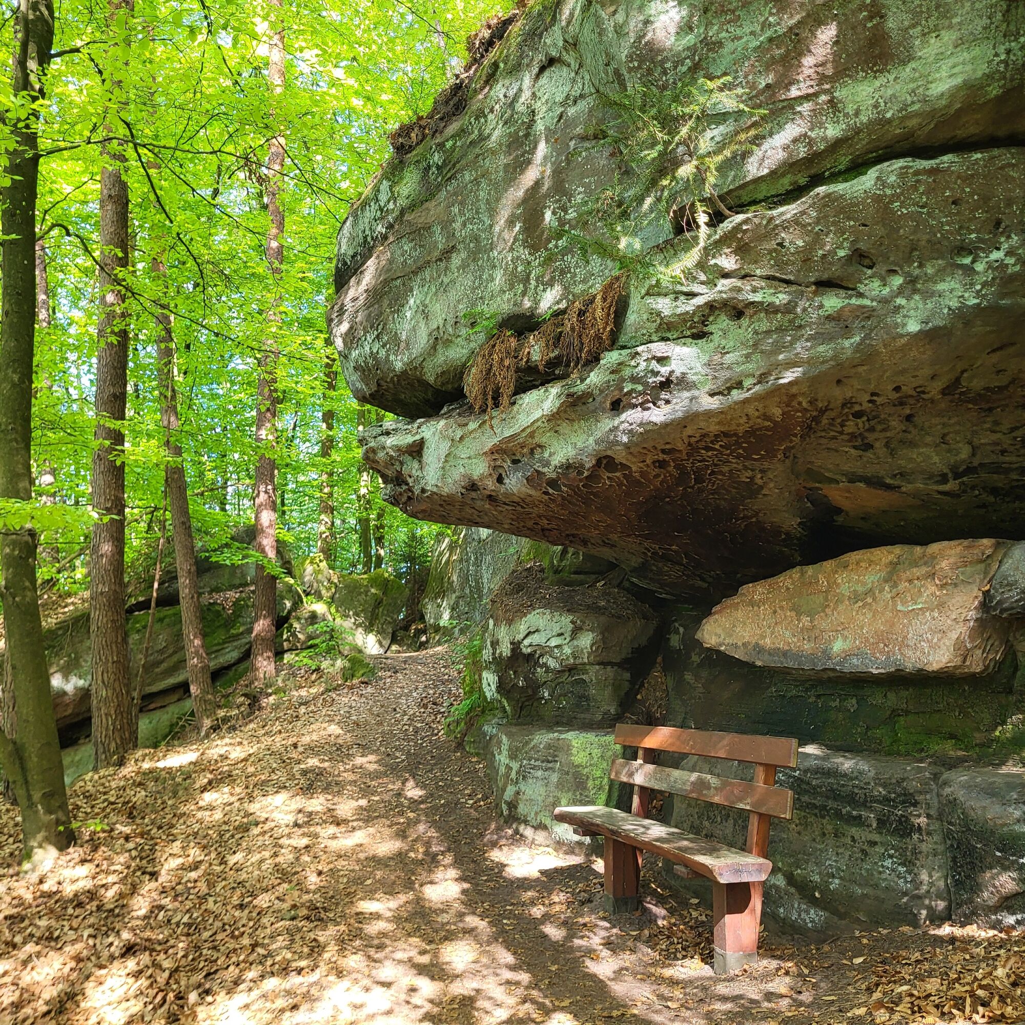
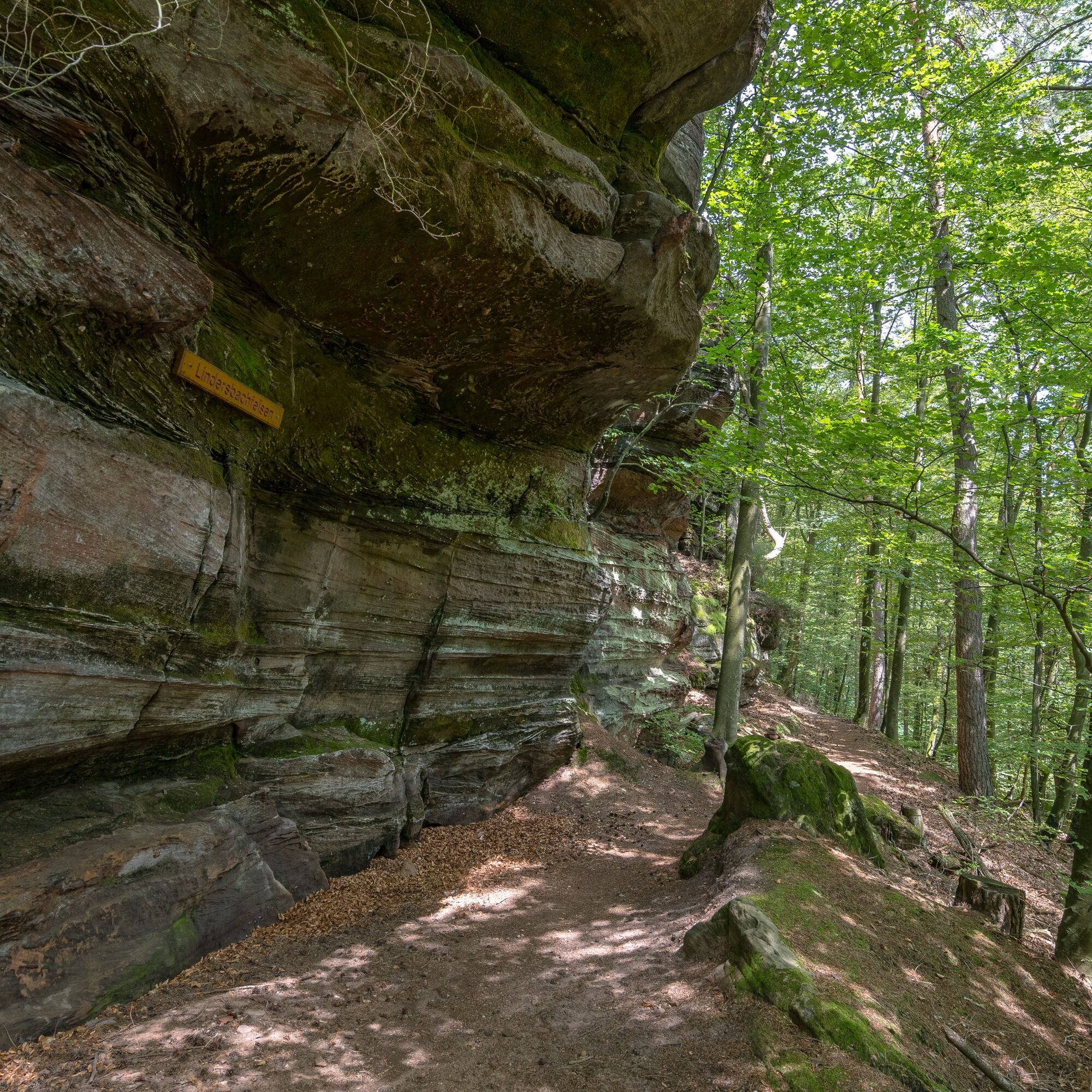
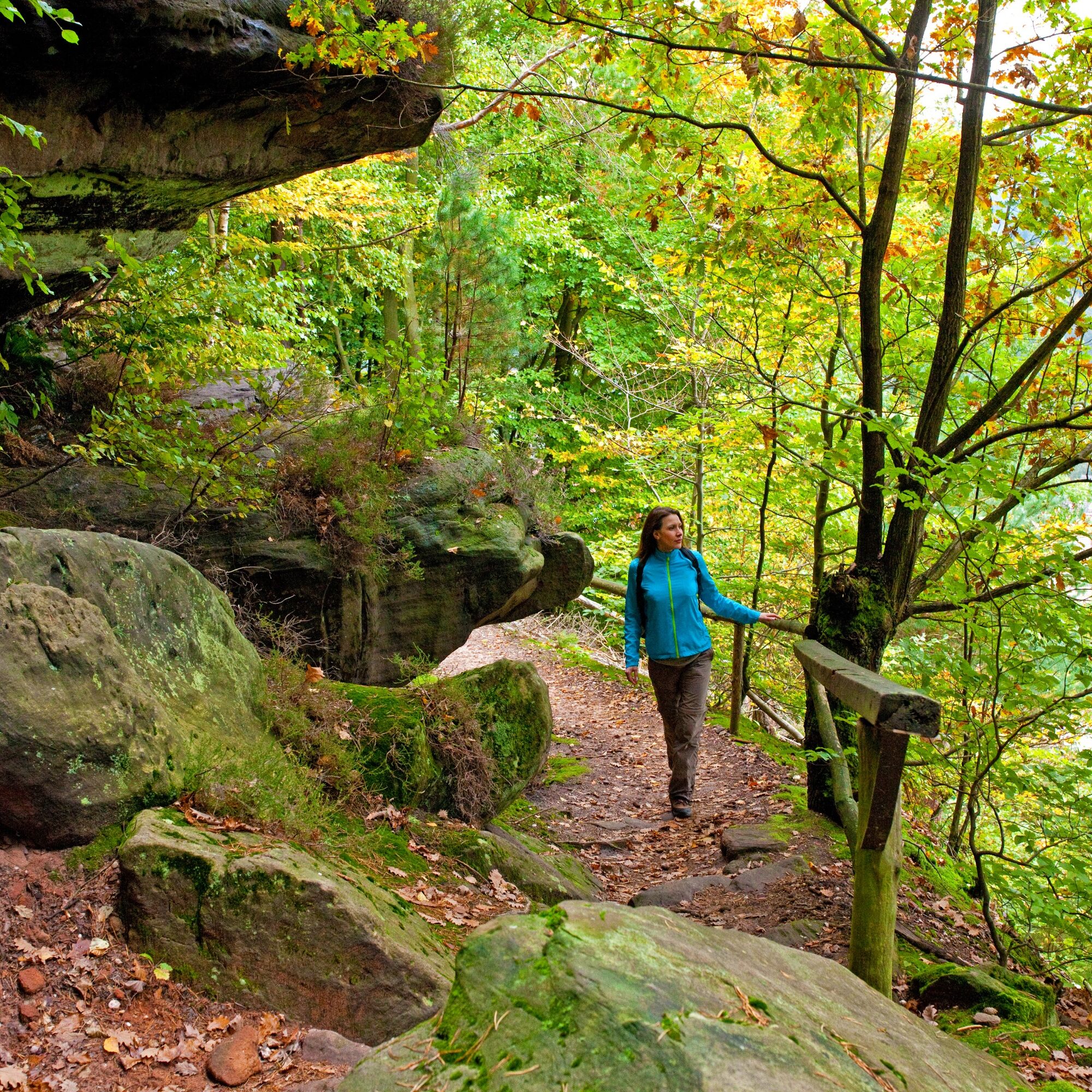
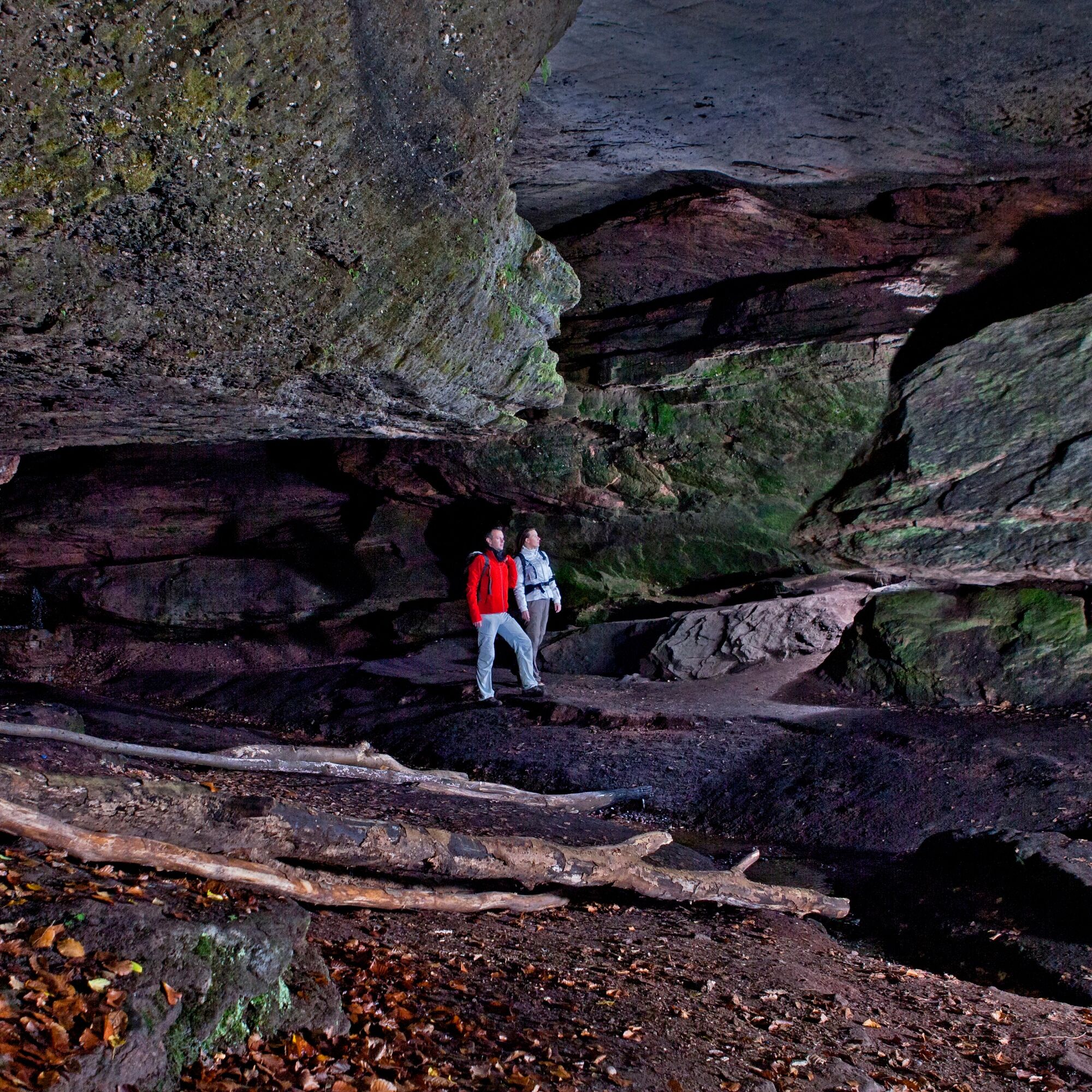
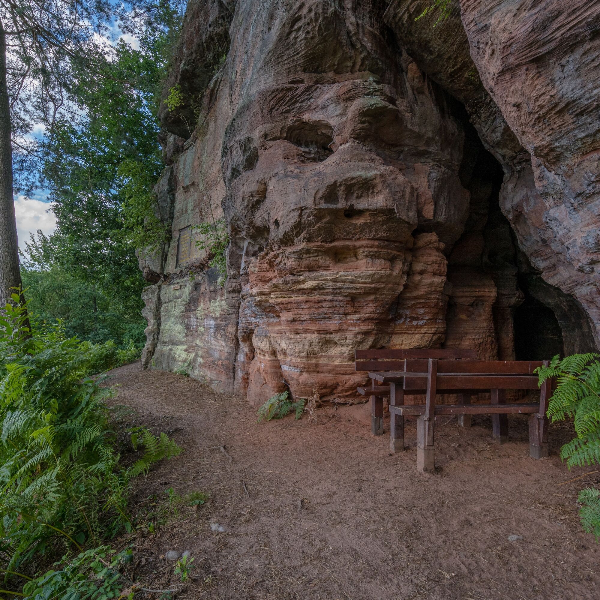
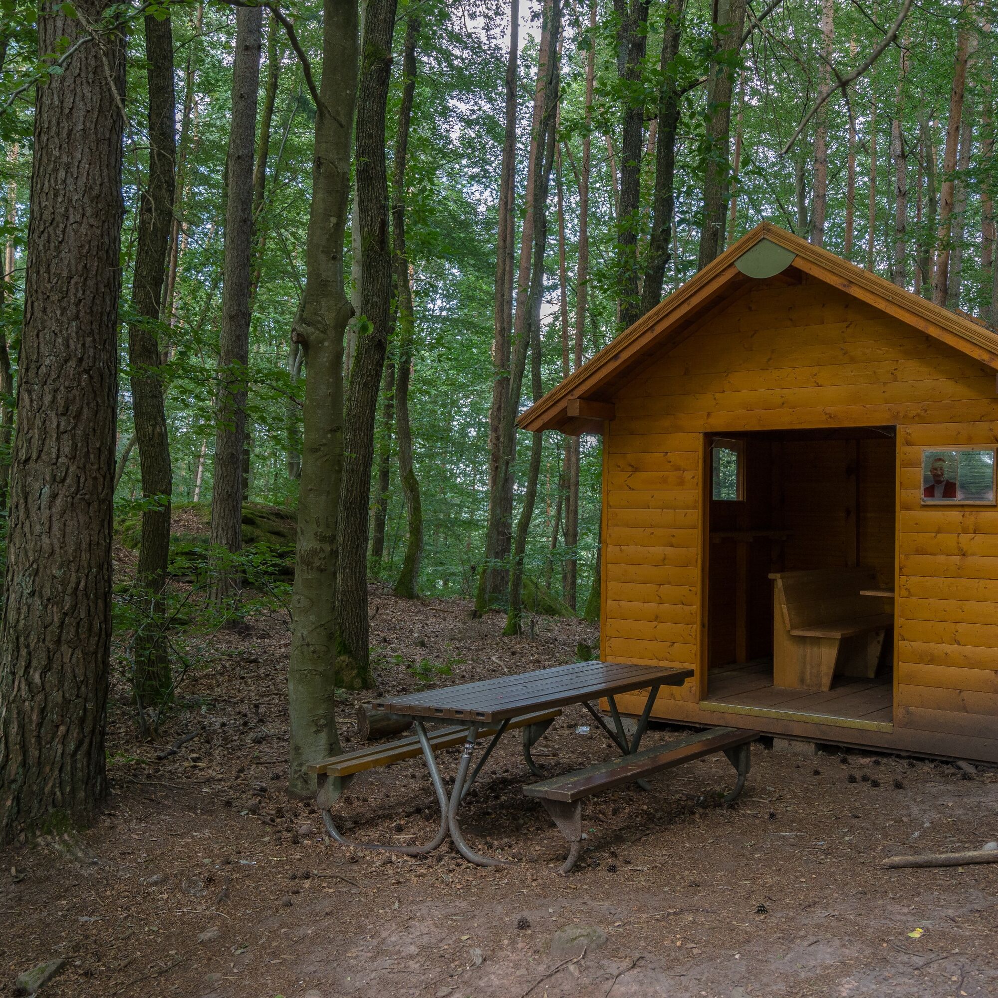
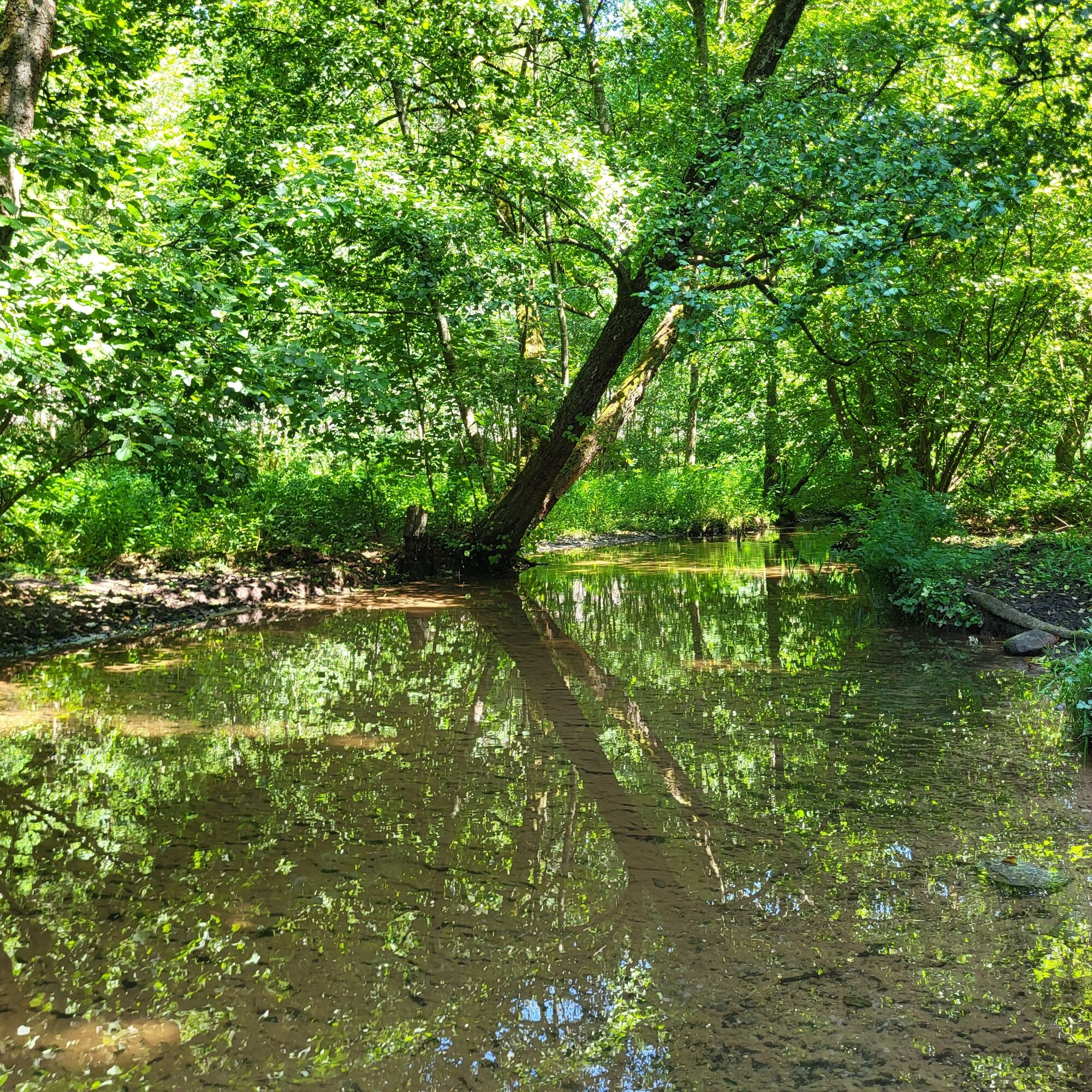
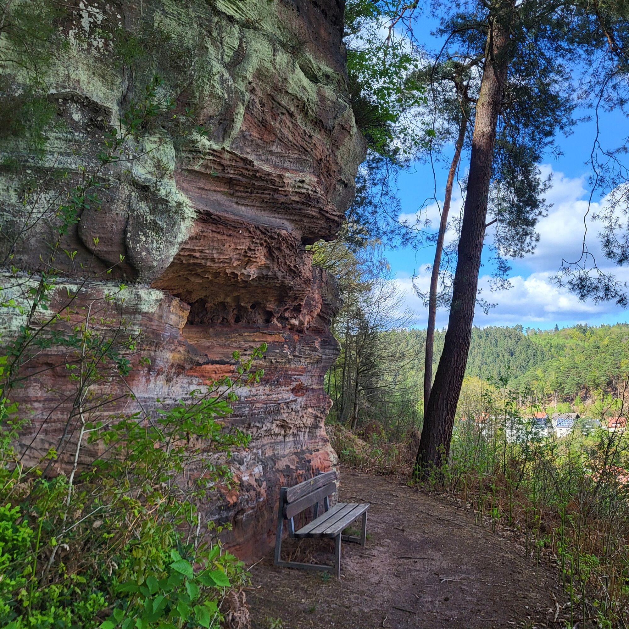
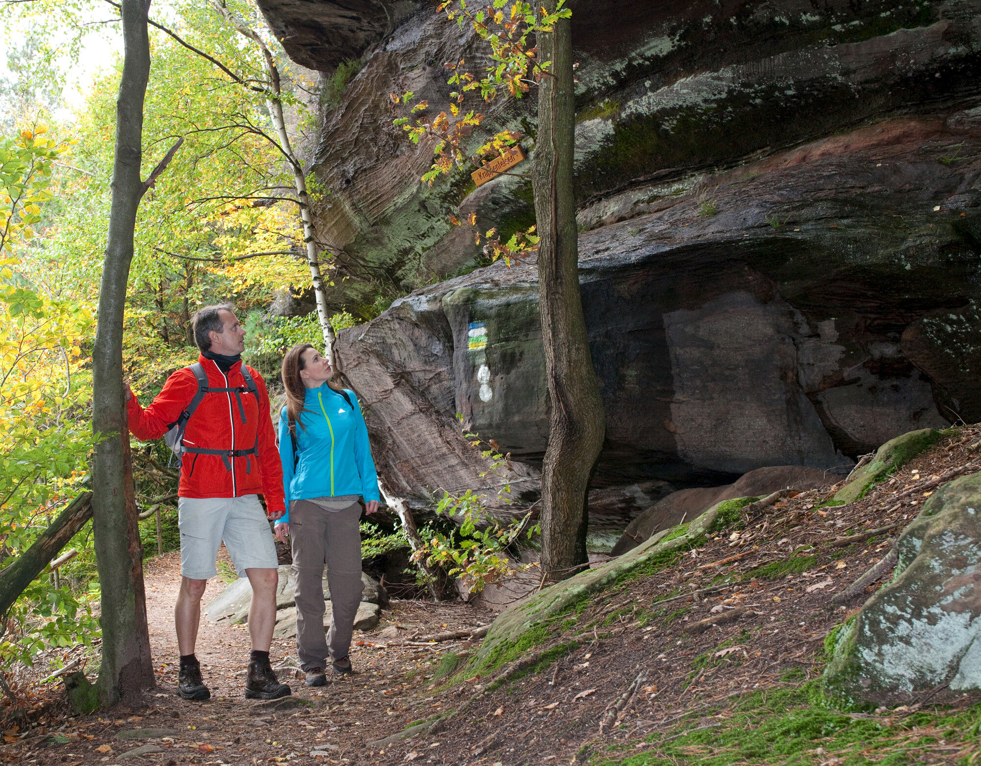
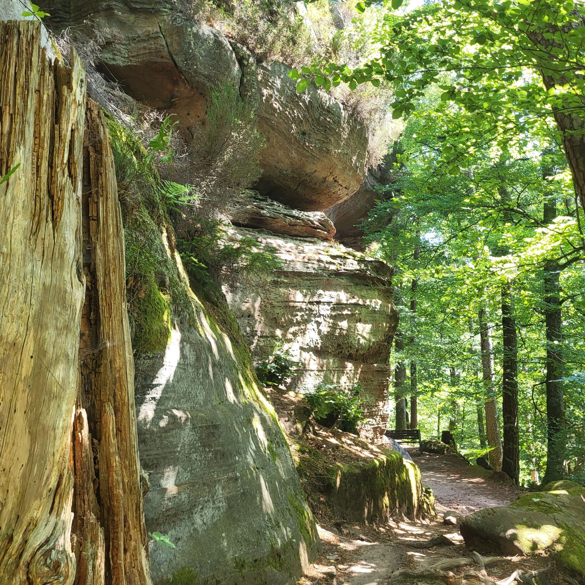
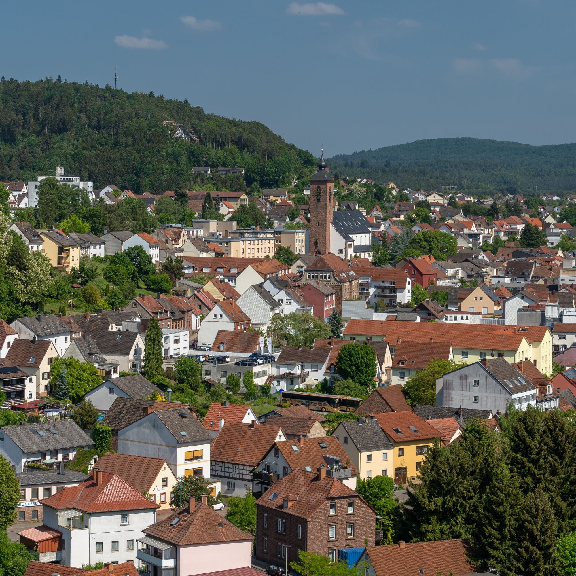
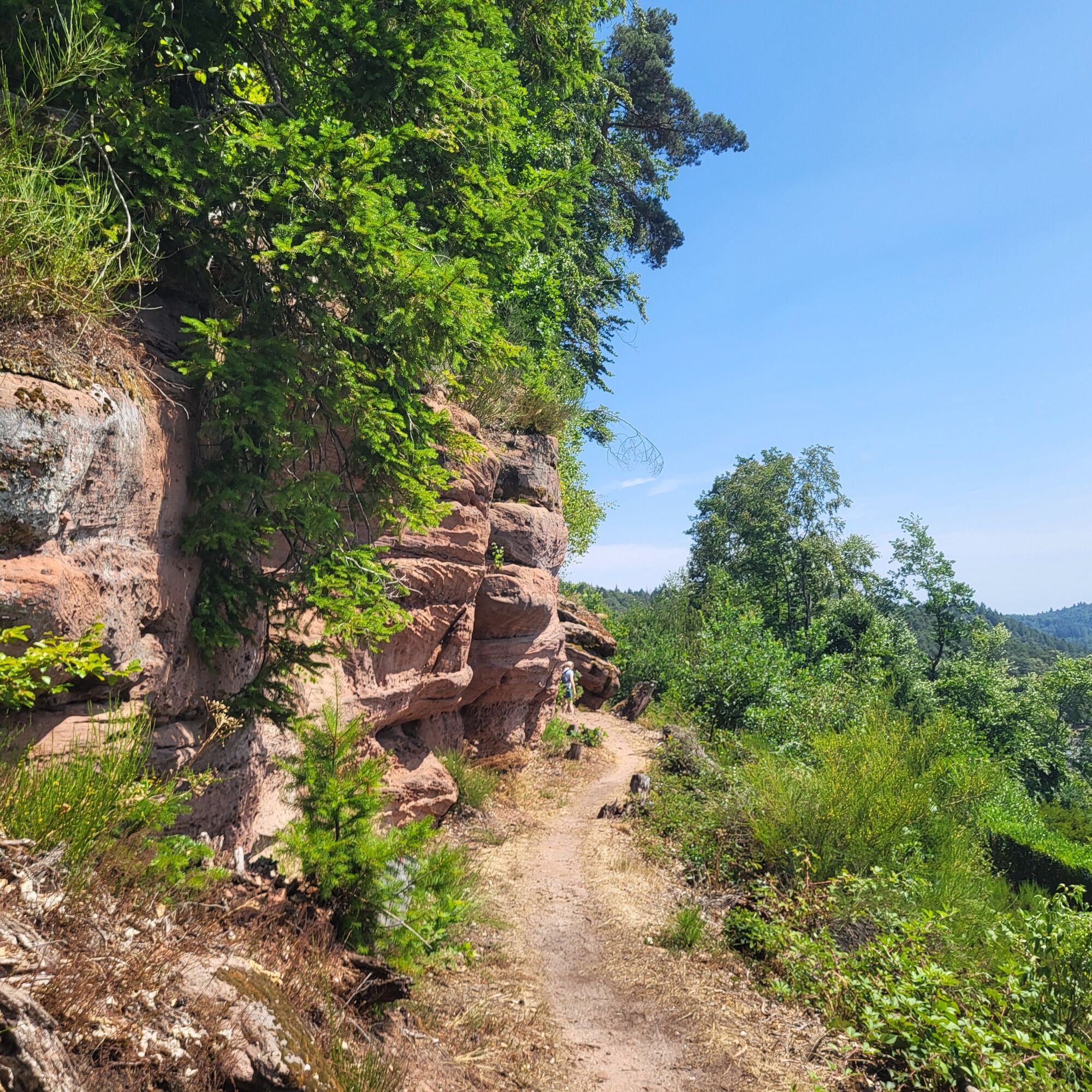
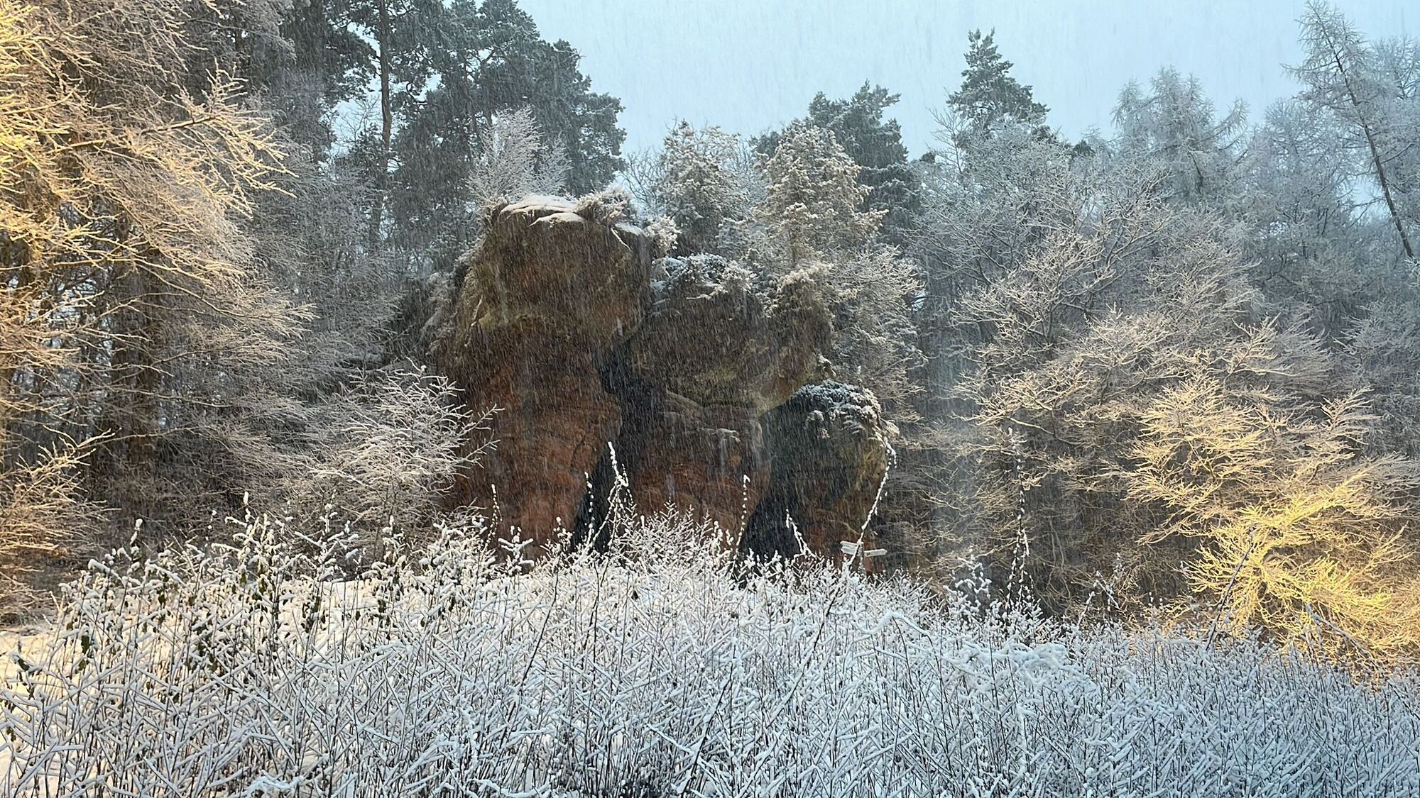
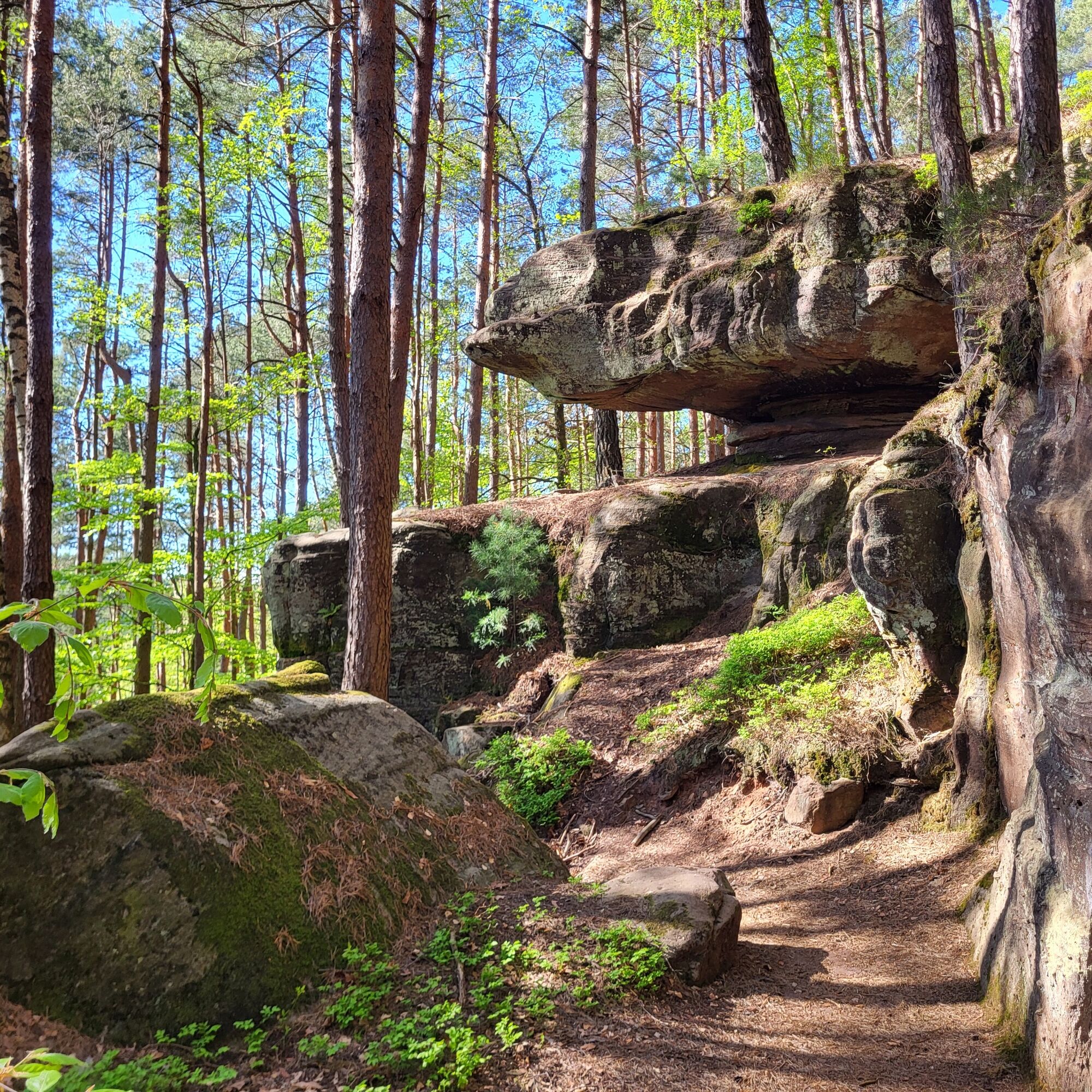
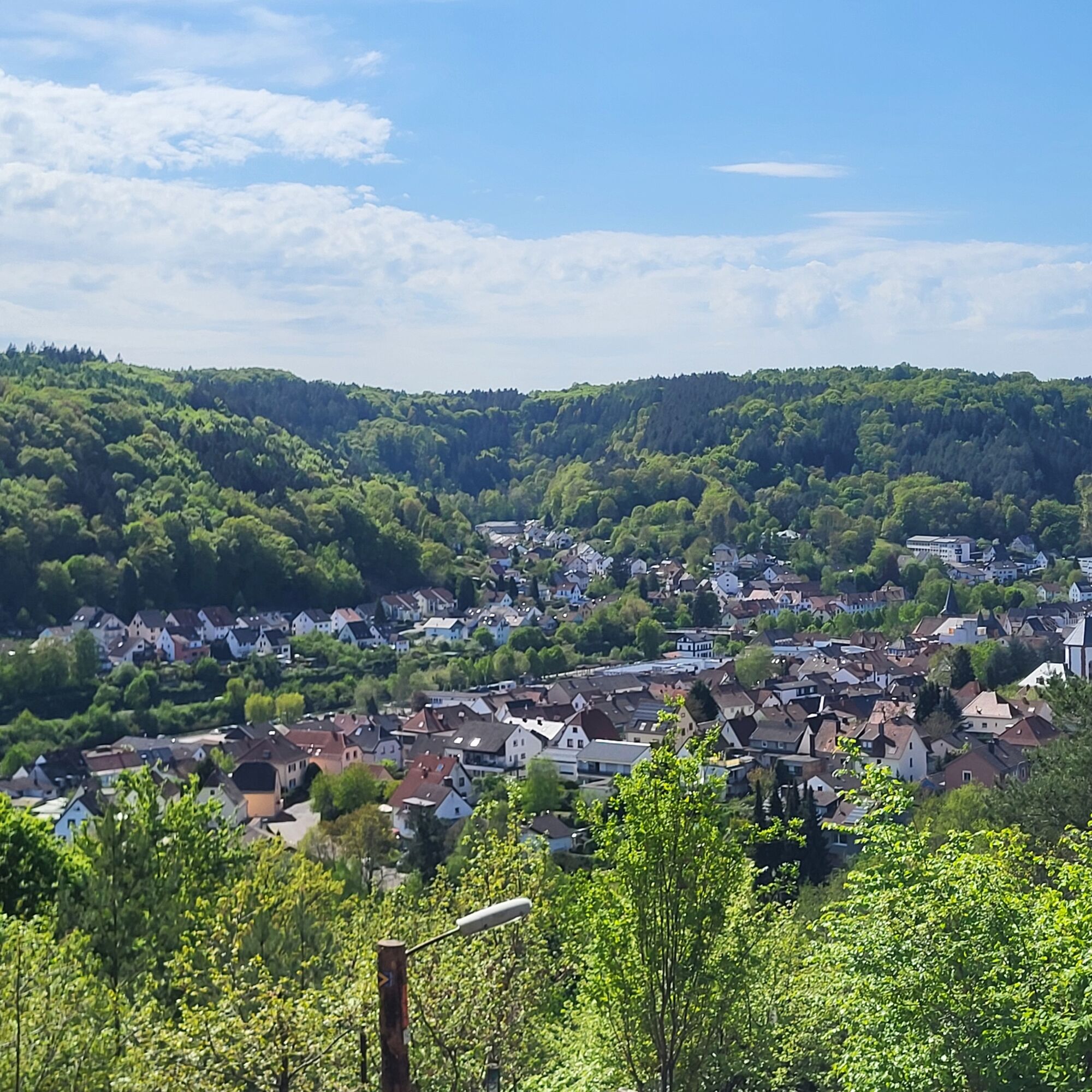
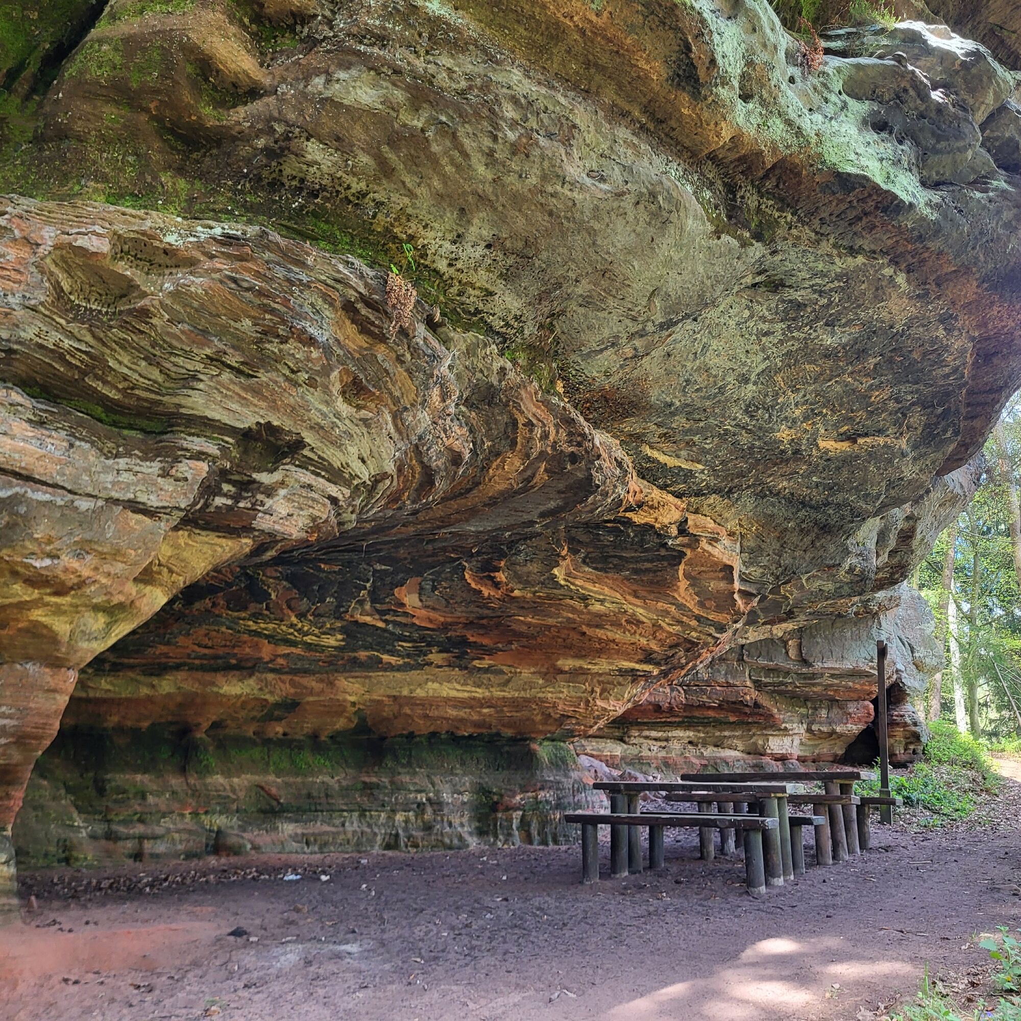
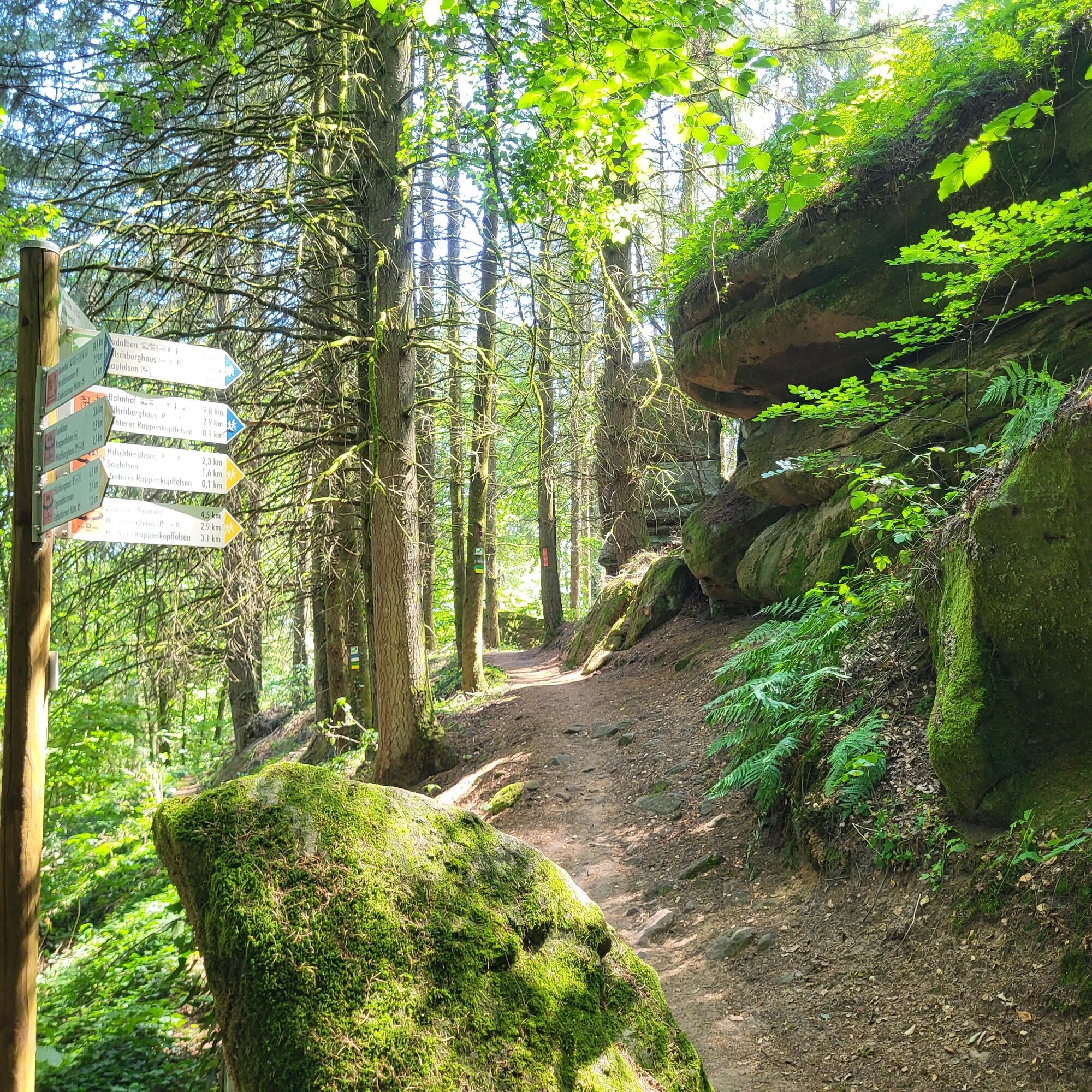
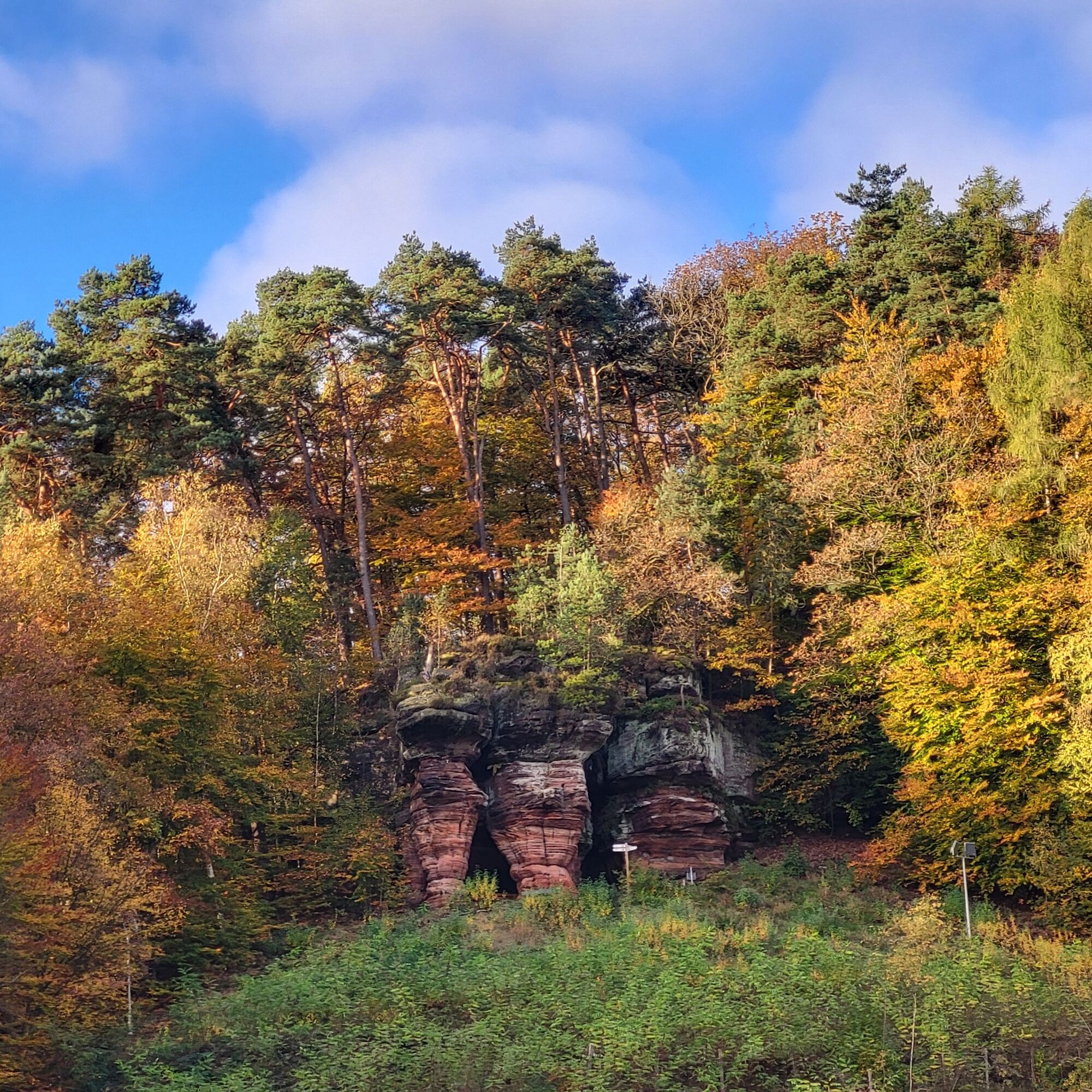
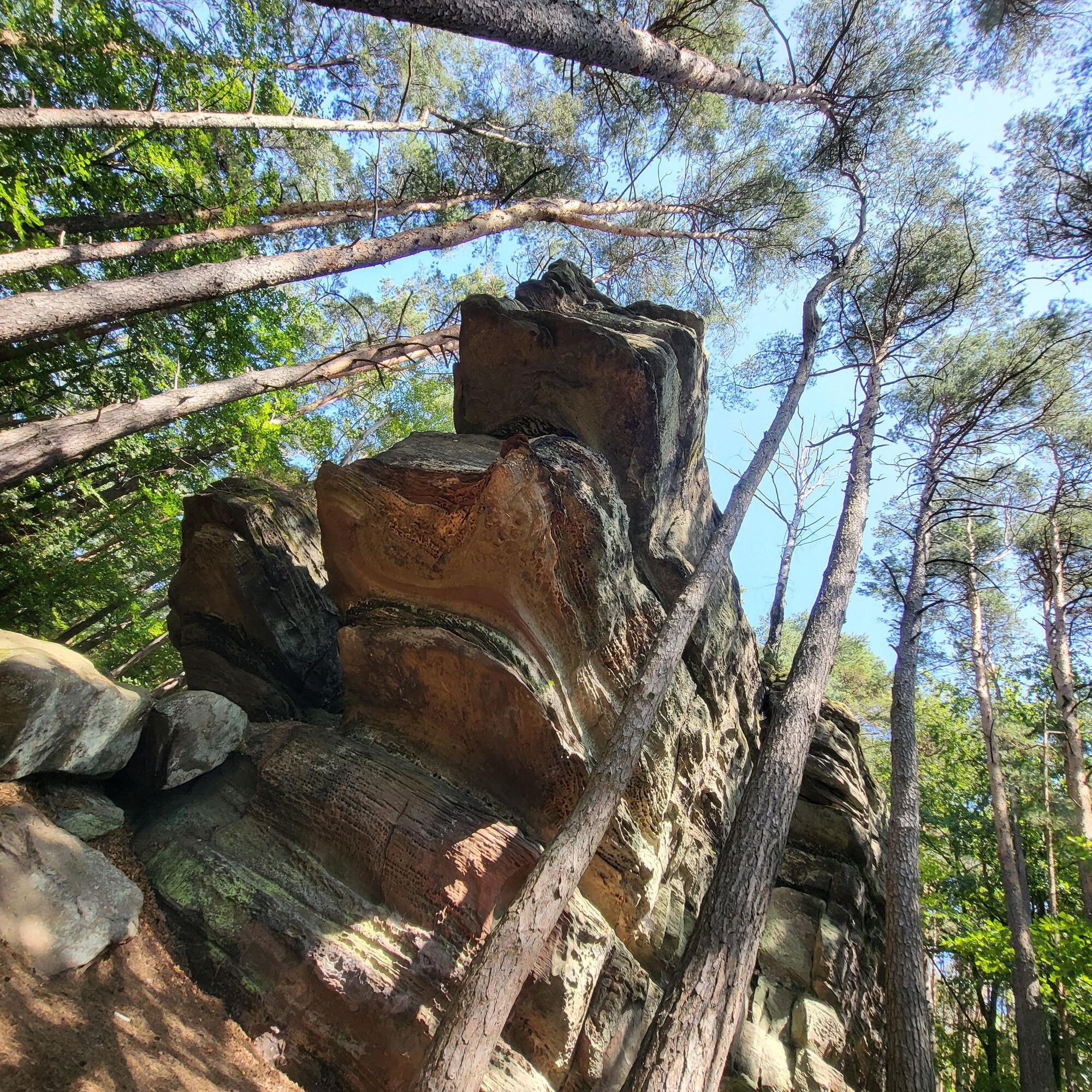




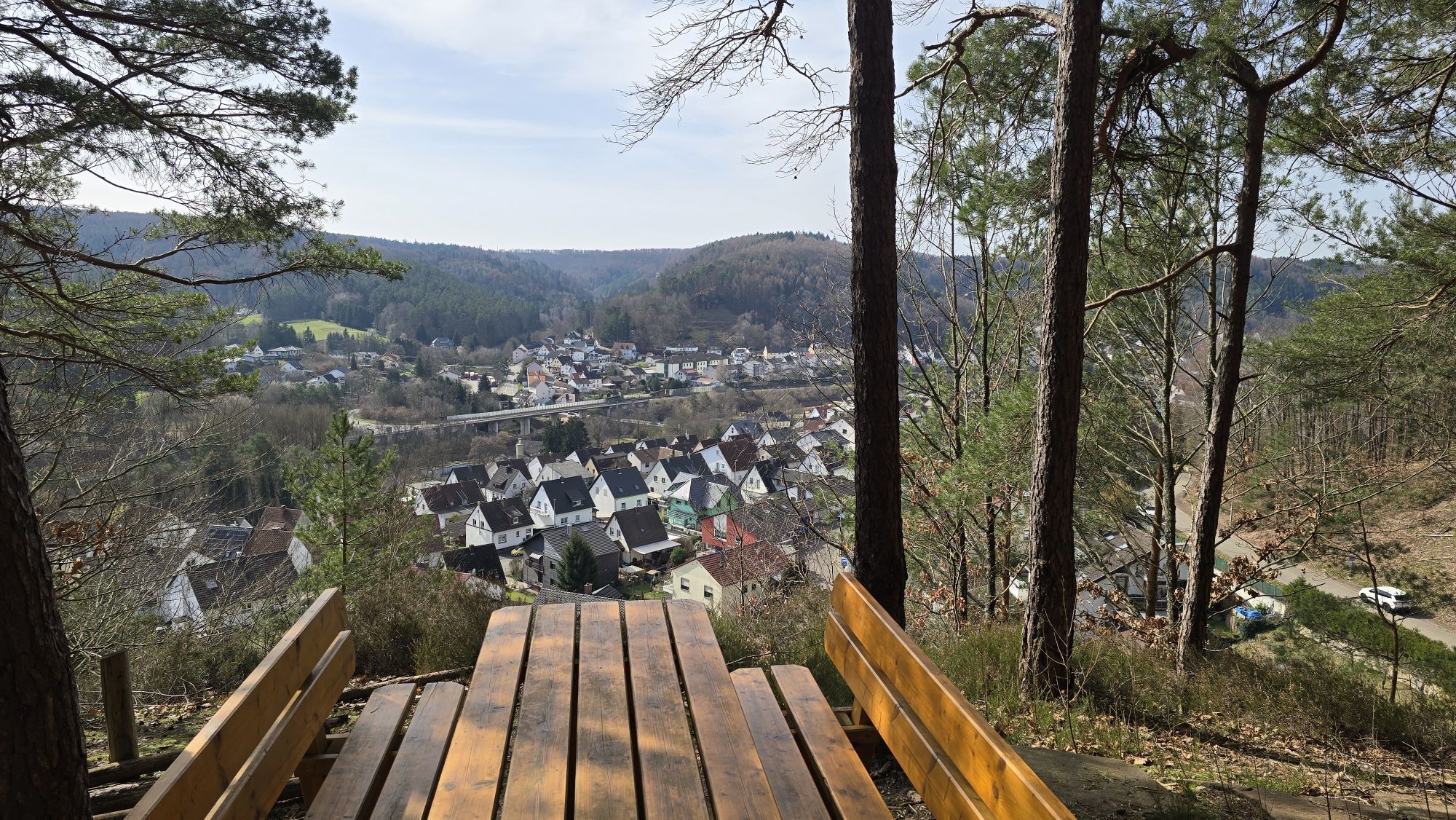
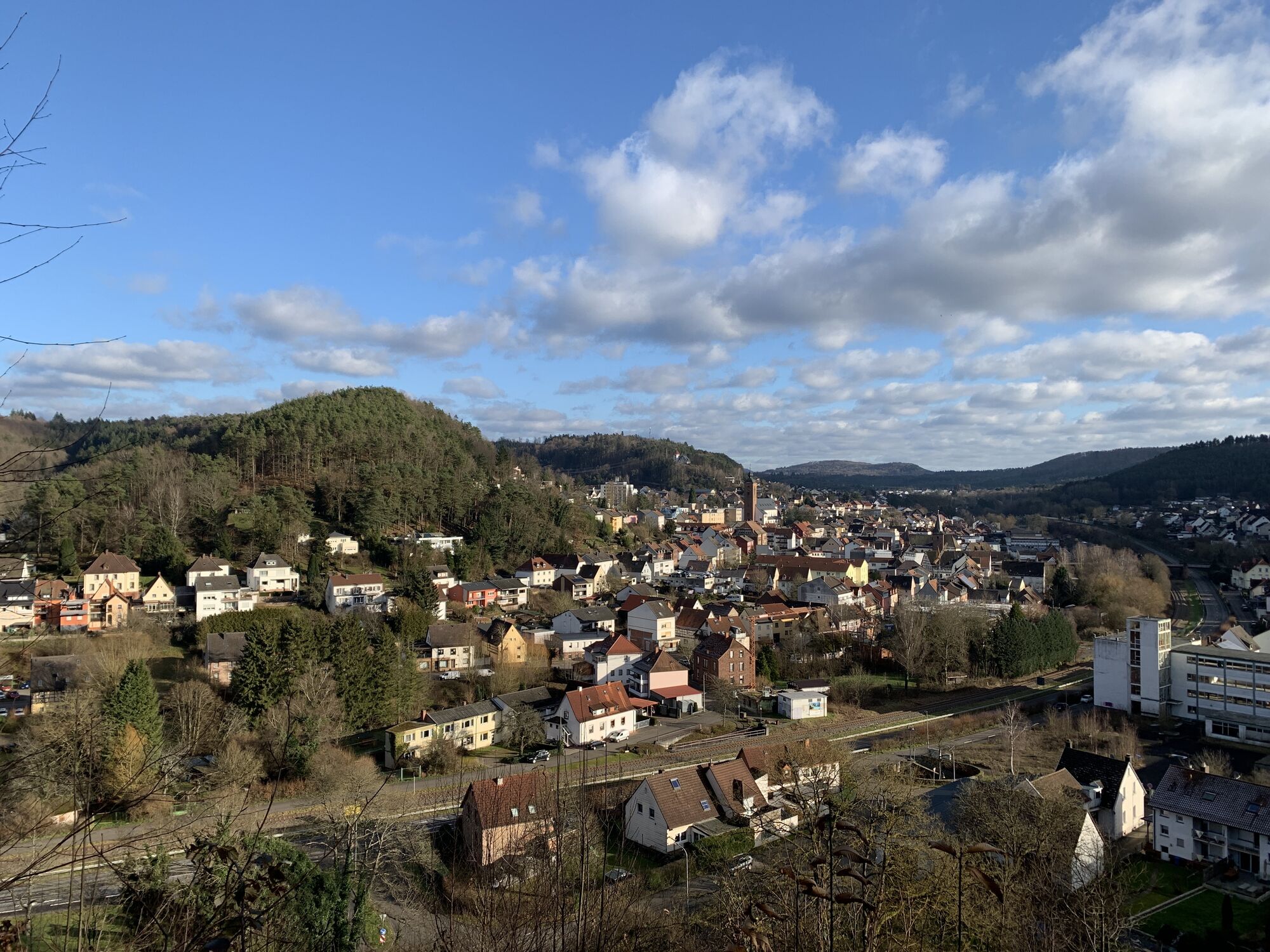
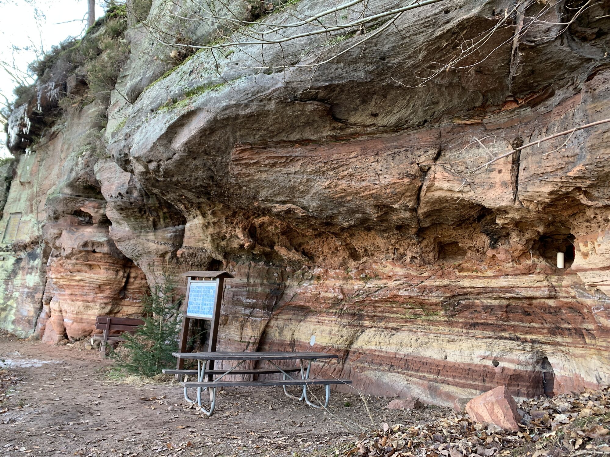
Once you reach the rocky hiking trail, you will first find the so-called "Alter Bierkeller" (old beer cellar) above the Fohnbach valley. Passing the Schlangenbrunnen fountain, the Fohnbach and gravel rocks, you finally reach the impressive "Alte Burg" rock massif, which used to be a prehistoric refuge for the indigenous Celtic population of the entire valley, along with all their livestock and portable possessions, as a place of retreat in the event of raids. From here you have a wonderful view over the roofs of Rodalben, which you can enjoy in peace and quiet during your first rest. In the evening, the "Alte Burg" is illuminated so that it can be seen from afar.
The next highlights along the way are the mighty Hettersbach and Horberg cliffs with further picnic opportunities. In the Hettersbach valley, which you walk around, you will also find the Zur Alten Burg restaurant (currently closed due to a change of tenant), which you are welcome to use for a refreshment stop - and the caravan sites of the Rodalben marching band, one of the numerous overnight accommodation options in Rodalben. After walking around the Horbergtal valley, you finally have to walk through the town. Via Petersberger Weg, Zweibrücker Straße and the steep Eischweiler Weg, you return to the beautiful, light-flooded mixed forest. In the Mühlkopf area, the tour finally continues in an easterly direction, for which you have to turn right at an acute angle.
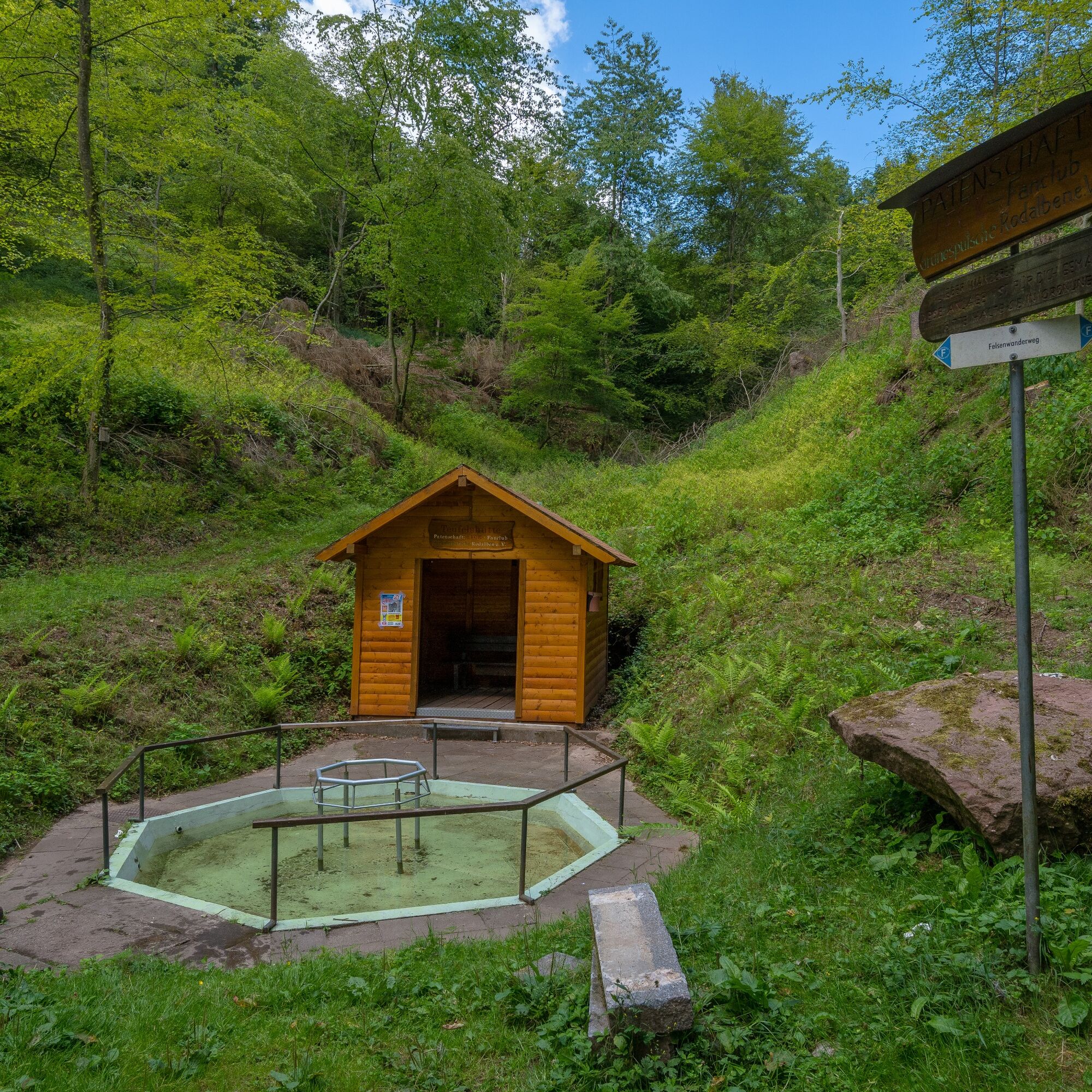
You will now pass other interesting examples of red sandstone before reaching the Osterbrunnen fountain and Teufelshütte hut at the end of the Hodental valley. Here you have the opportunity to cool your feet in a beautiful water treading facility and rest for a while or - in bad weather conditions - take shelter in the hut for a short time. The trail continues past the beautiful May fountain rocks into the Leiterstal valley, where the cemetery of the town of Rodalben is located.
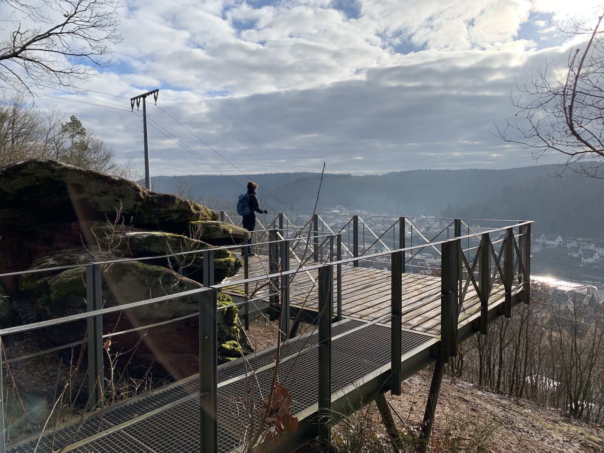
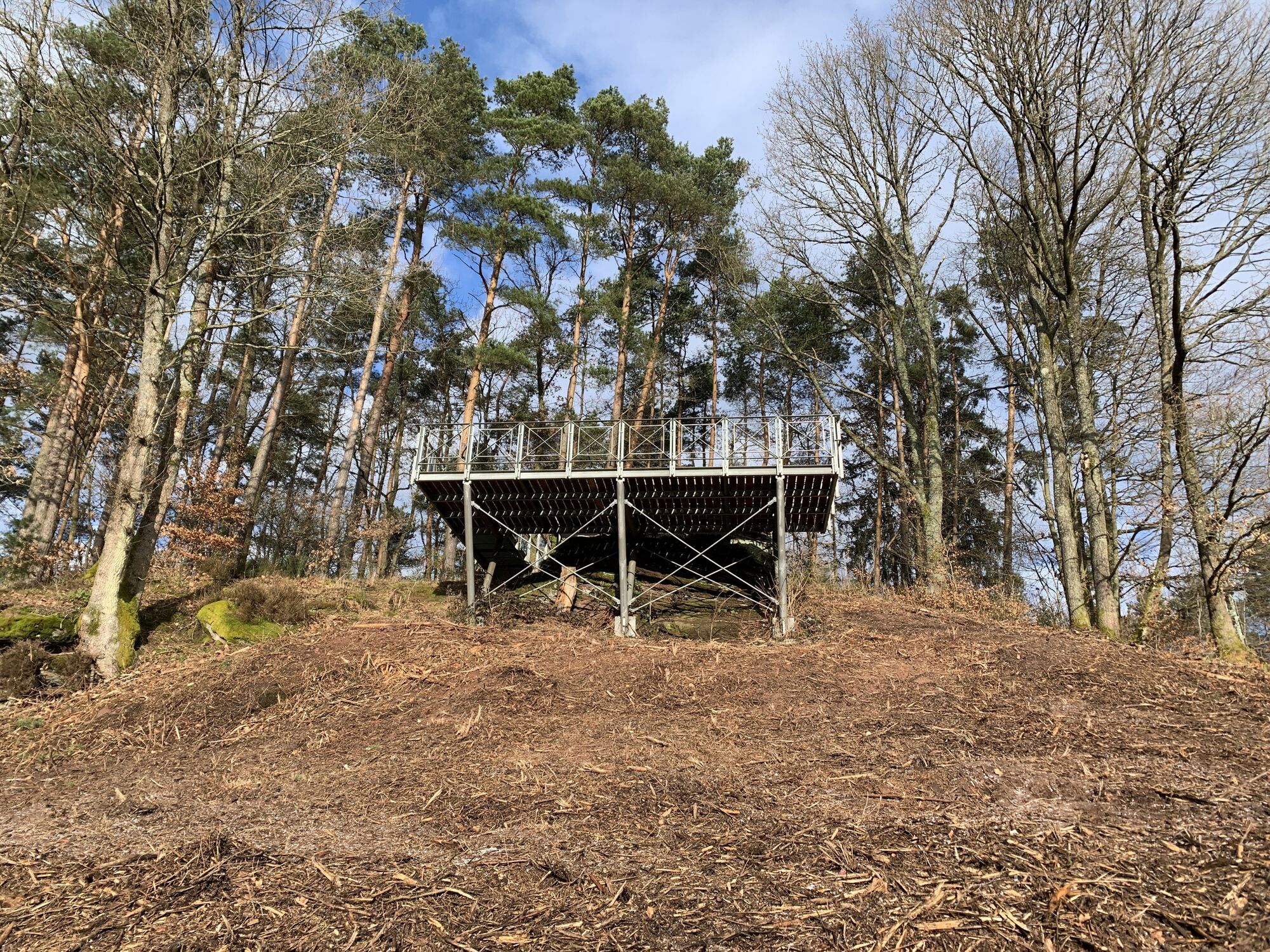
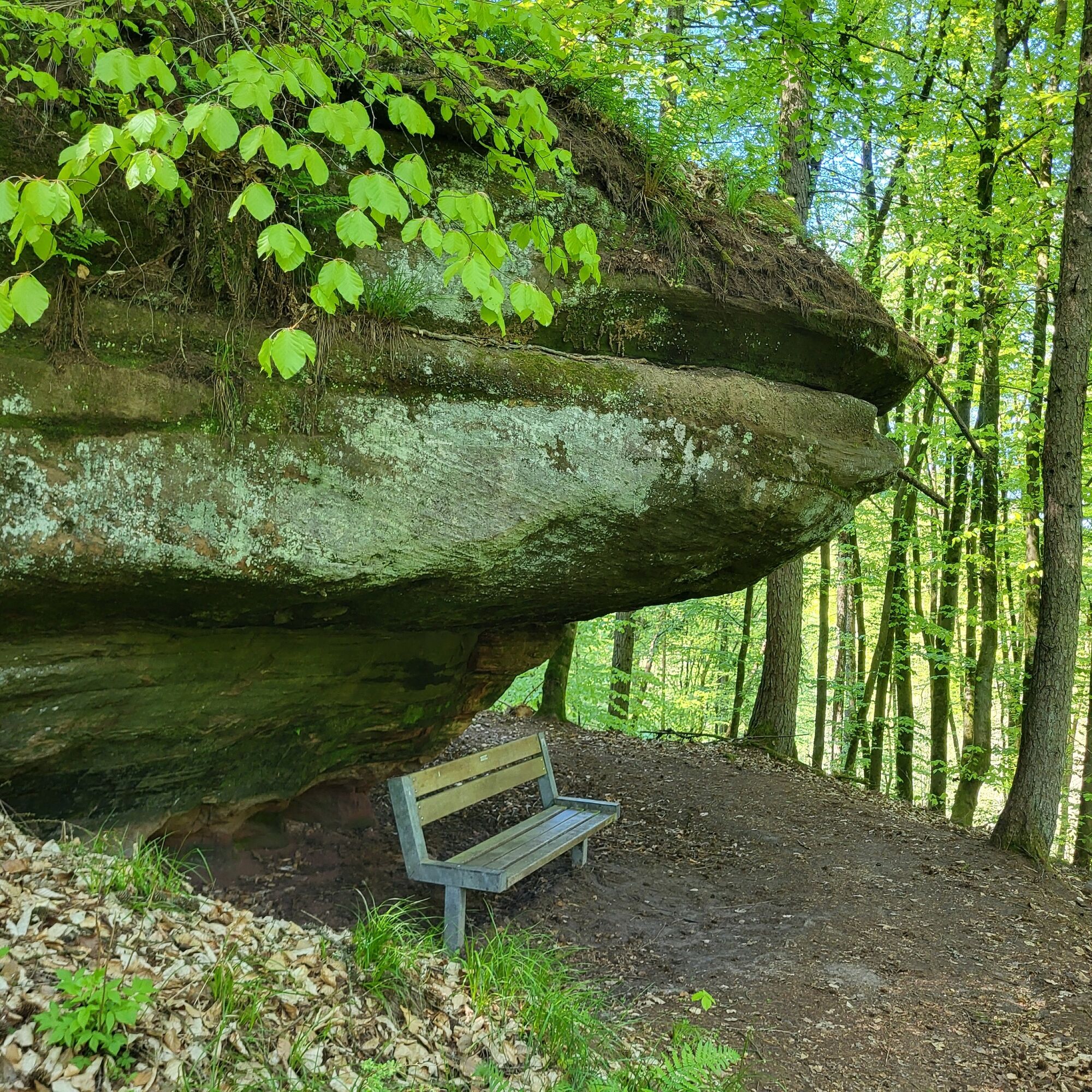
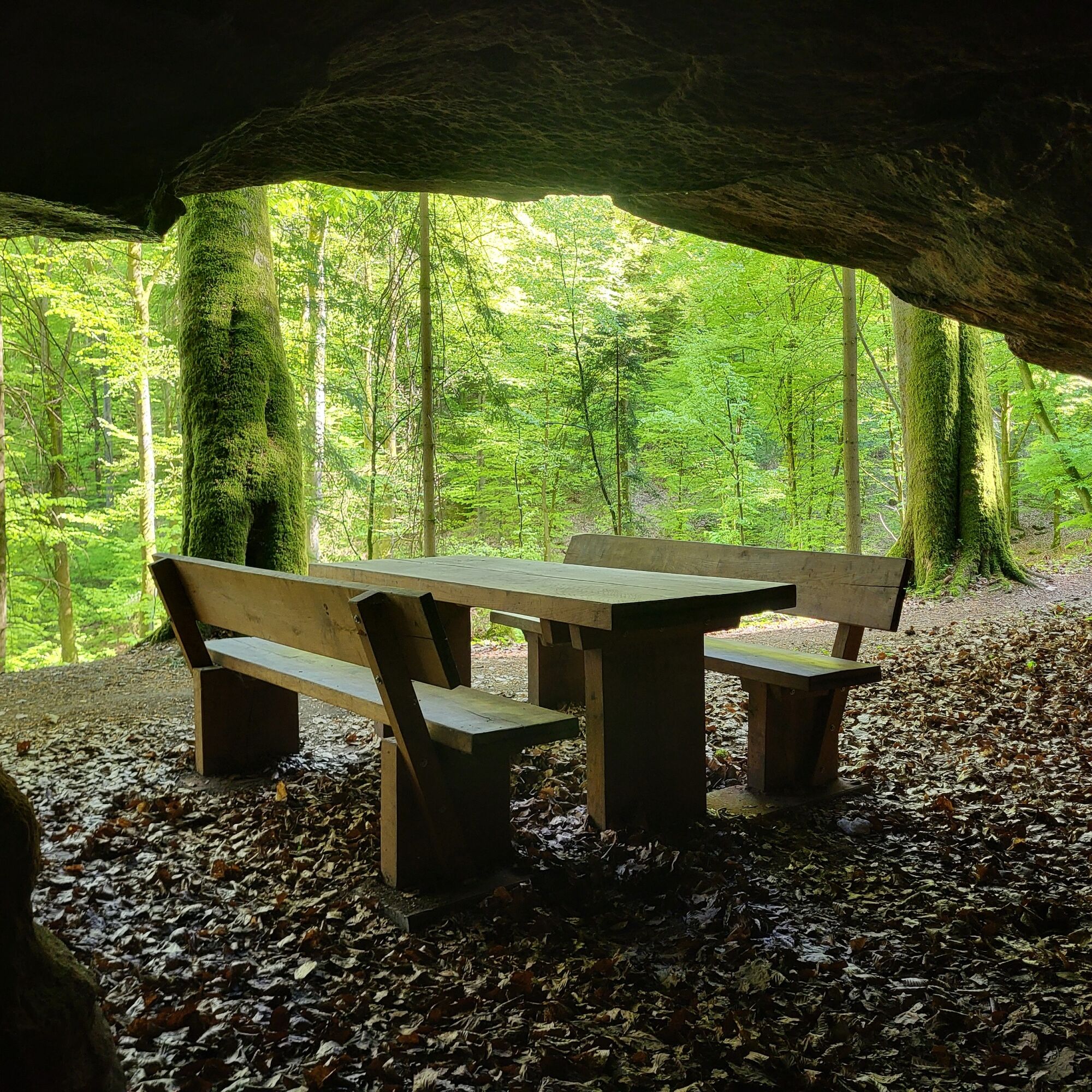
After leaving the valley basin, the ascent continues towards the Kanzelfelsen with its sheltered seating area under a rocky outcrop. Shortly before you reach it, however, you should not miss a short detour up to the viewing platform, from where you have a wonderful view of the old town center of Rodalben with its historic buildings such as St. Mary's Church and the birthplace of Dr. Johann Peter Frank.
However, the rocky hiking trail continues past the Schweinefels massif with its small caves and tunnels, which are particularly popular with children due to their low passage height (note: torch/torch app required), circles the idyllic Lindersbach valley with the Geißendelle and the mighty Lindersbach rocks and finally continues into the Am Haweracker valley. At its end - just a few meters below - is the clubhouse of the Schützengesellschaft 1900 Rodalben e.V. shooting club.
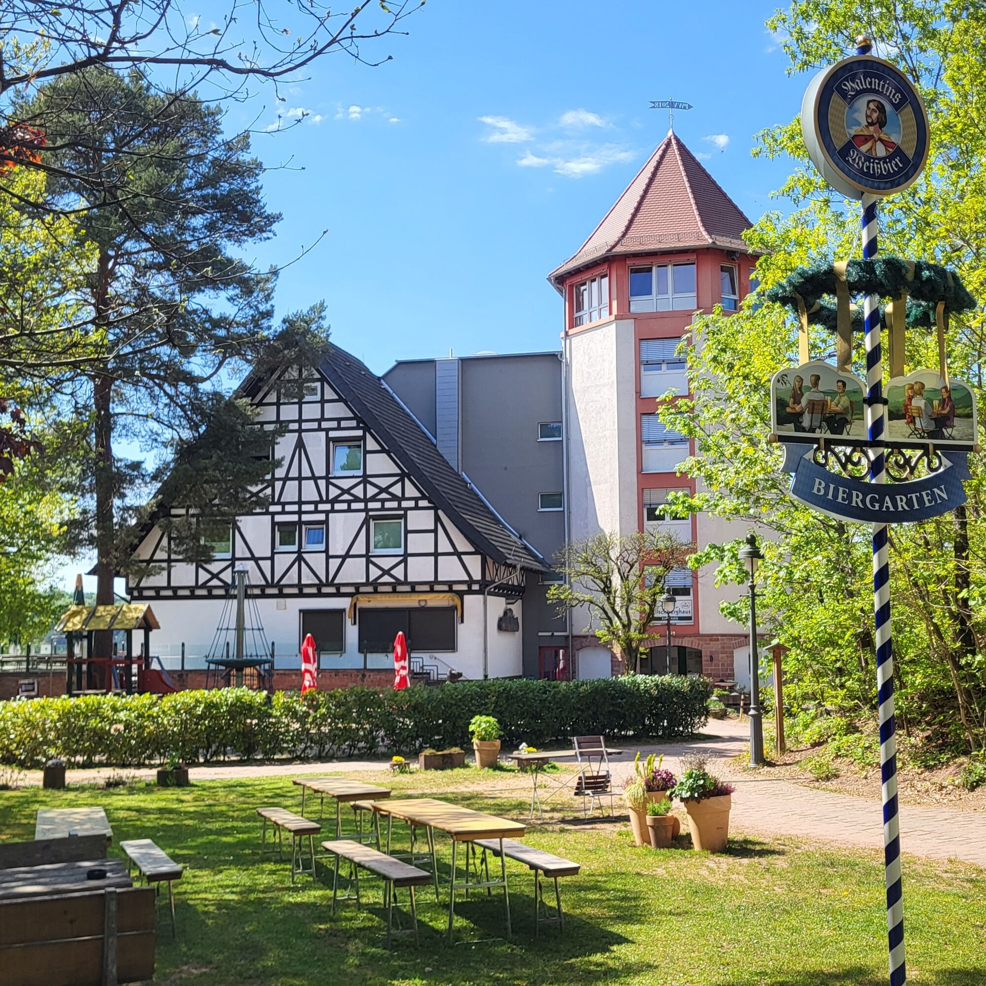
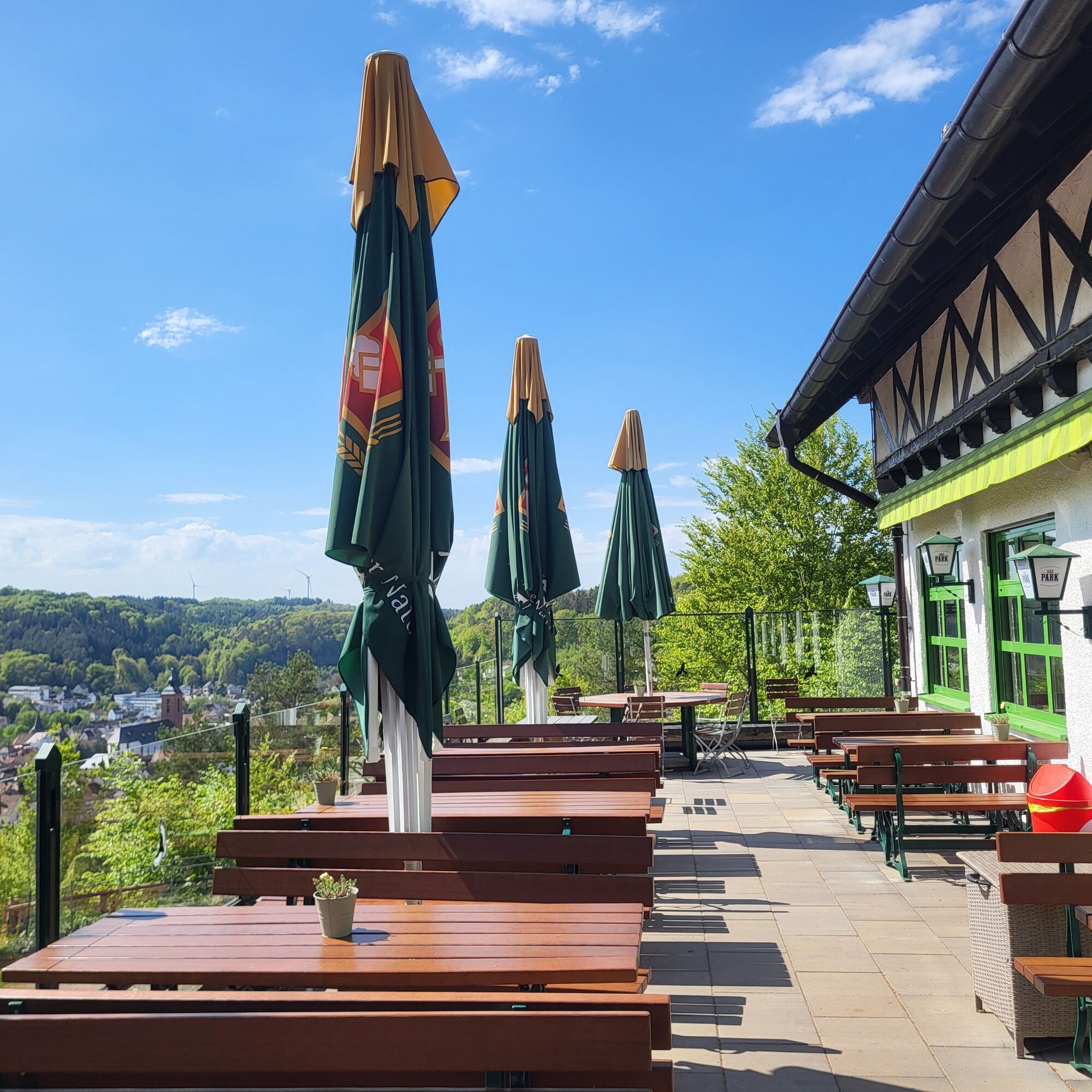
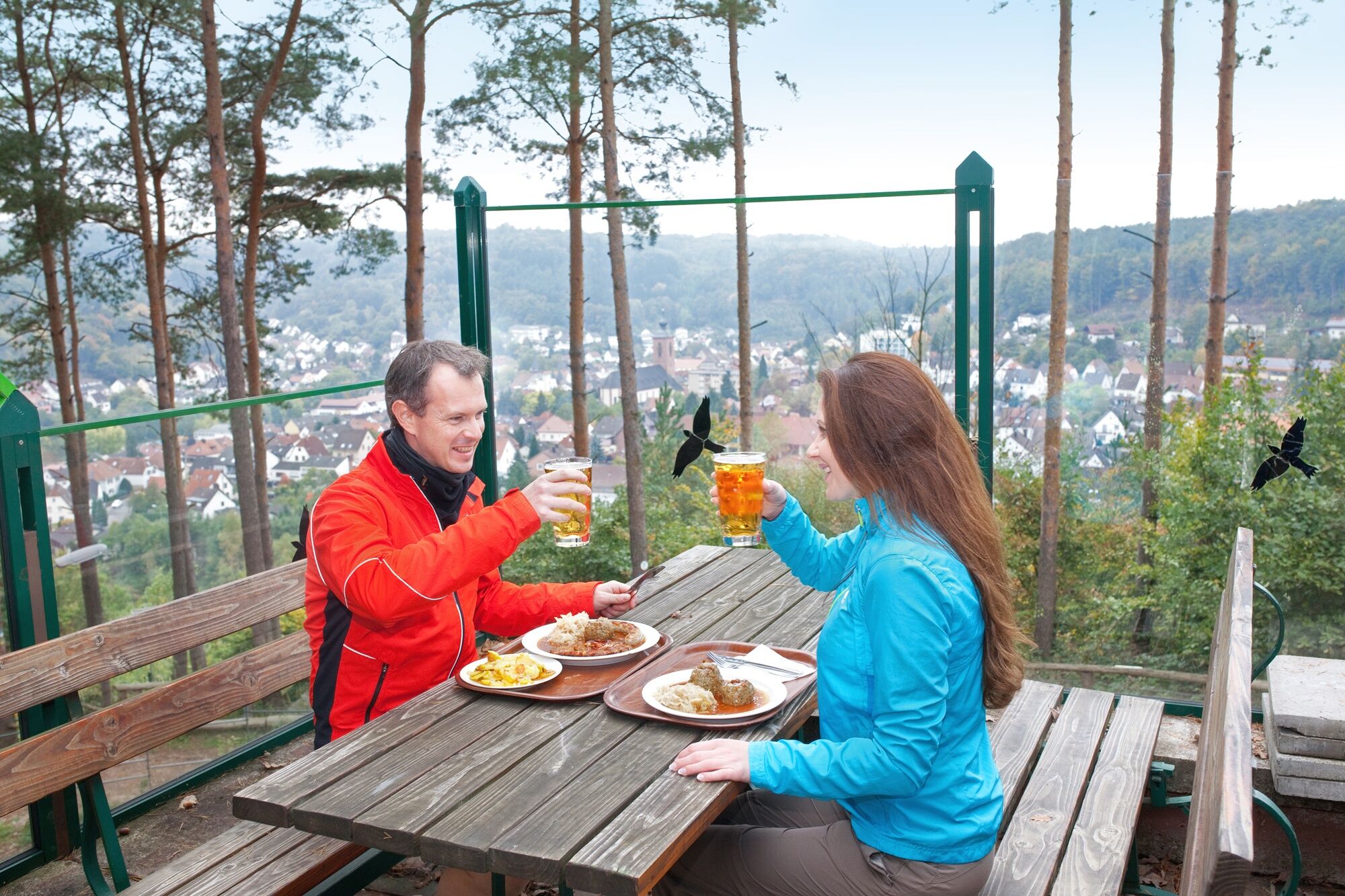
From here, the path leads - always in a south-westerly direction - high up to the well-known Hilschberghaus of the local Palatinate Forest Association with its newly added, striking tower (additional double rooms and conference facilities).The restaurant, with its hearty Palatinate cuisine and large, sunny panoramic terrace in a predestined location, as well as a beautiful beer garden, can be used for a hearty break in a cozy atmosphere. Children can let off steam to their heart's content in the playground.
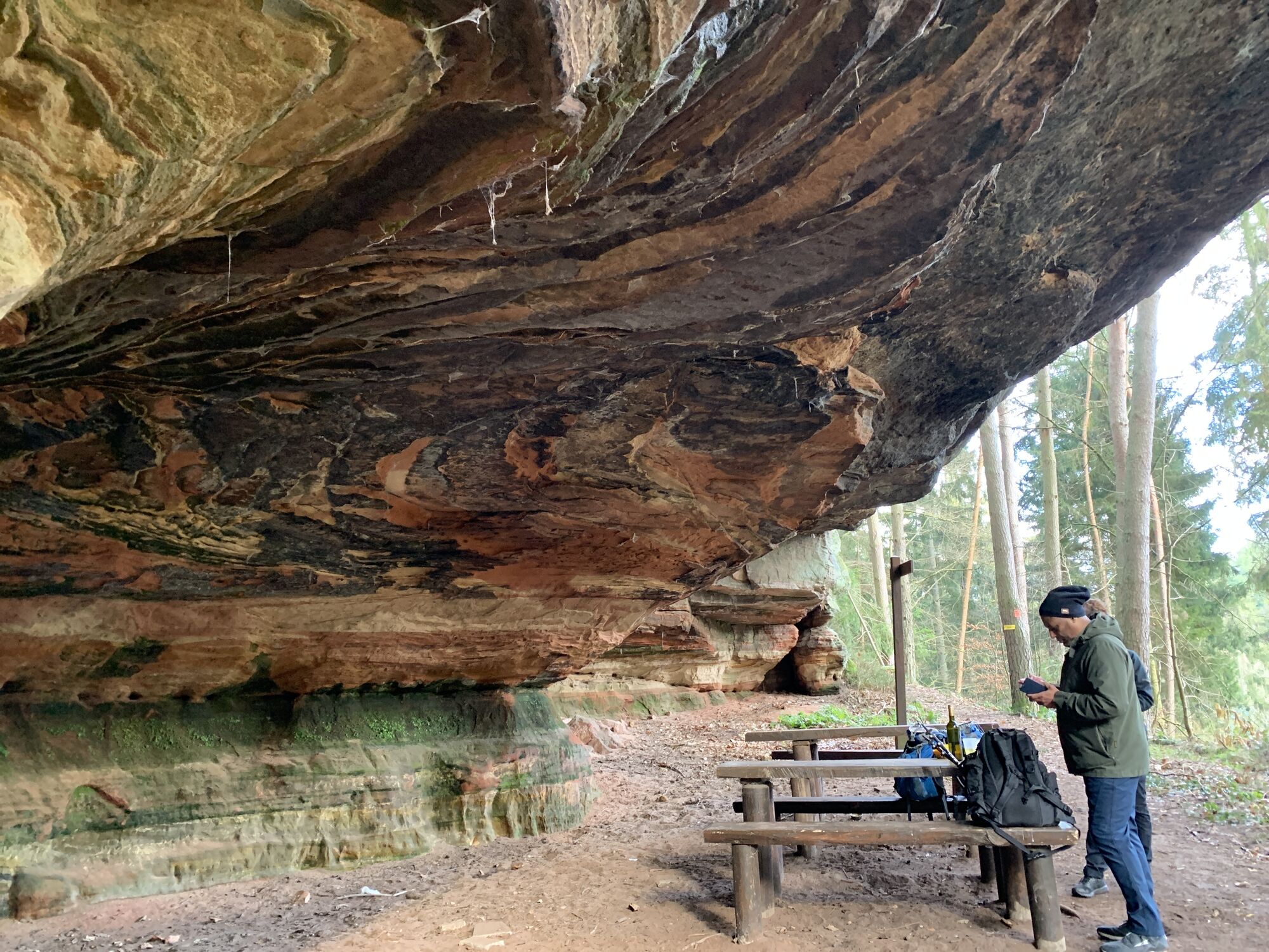
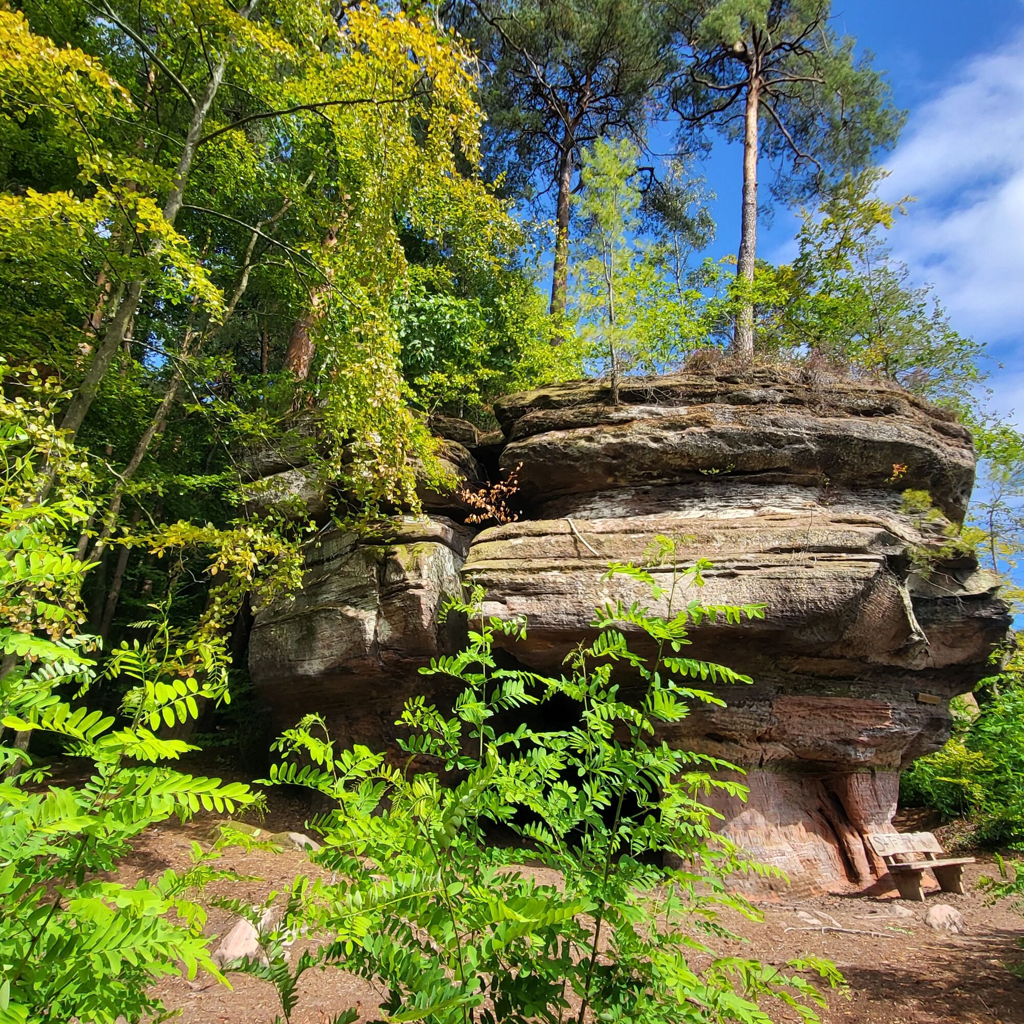
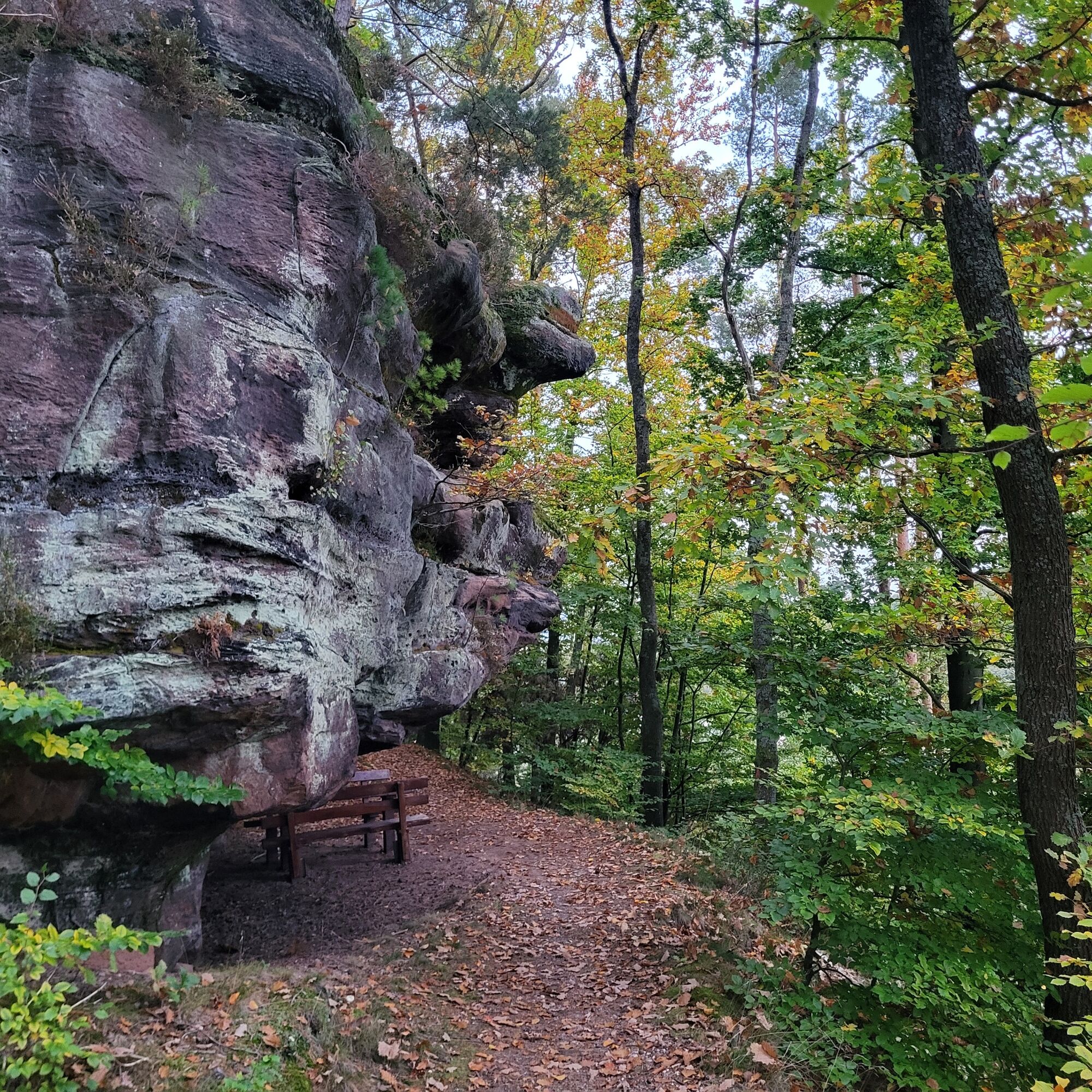
From the Hilschberghaus, the tour leads eastwards for quite a while, passing the Krappen-, Hilschberg-, Sau-, Rappenteich- as well as the front and rear Rappenkopffelsen in succession. All of these rock formations are interesting in their own way, absolutely worth seeing and some are equipped with additional seating areas or benches. The extremely high rock faces of the Saufelsen and the "roofed" seating area on the Rappenteichfelsen are particularly impressive, but the visible outcrops, red sandstone structures and layers as well as rock inclusions also delight nature-loving people with an eye for the wonderful little things along the way.
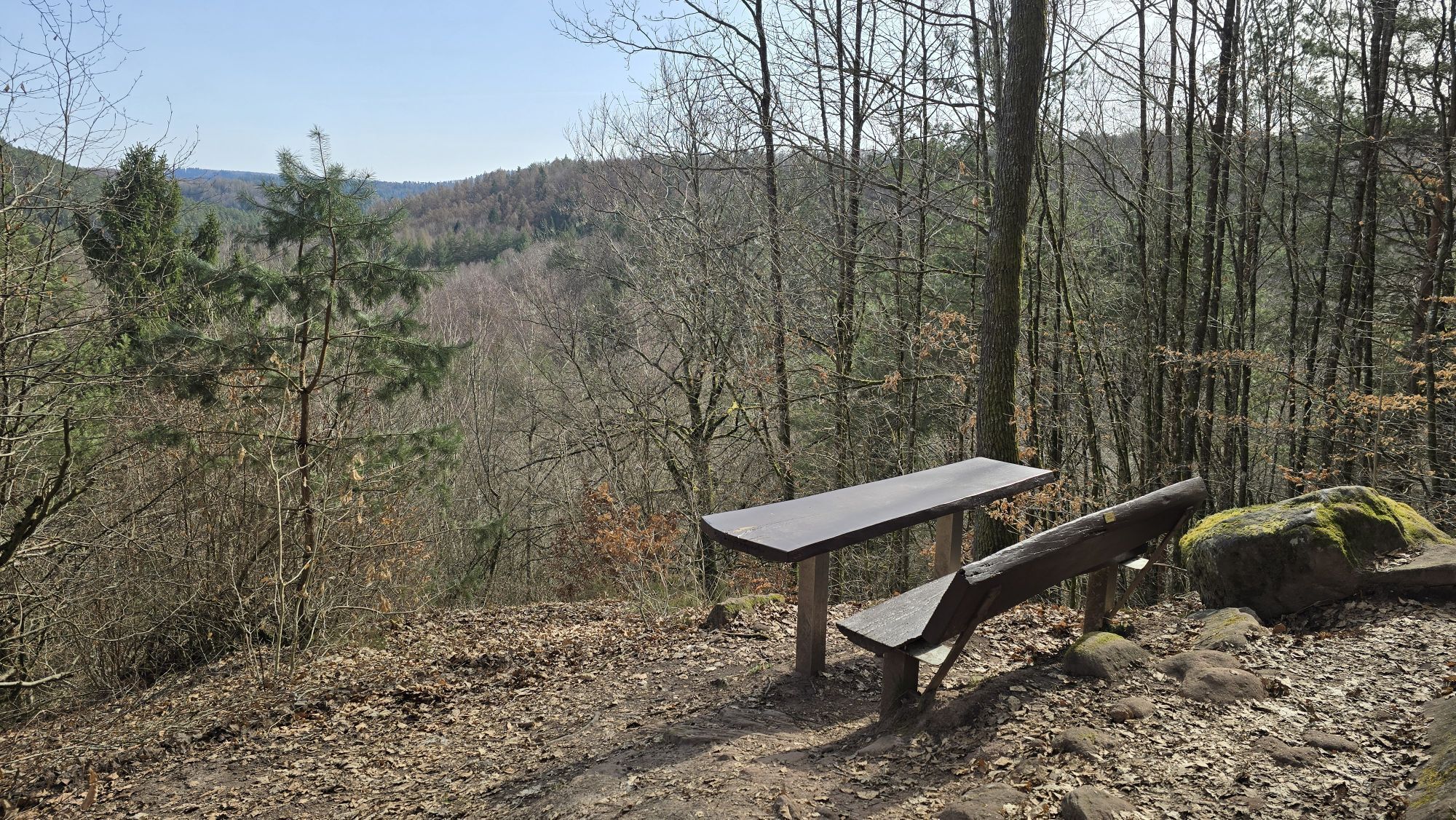
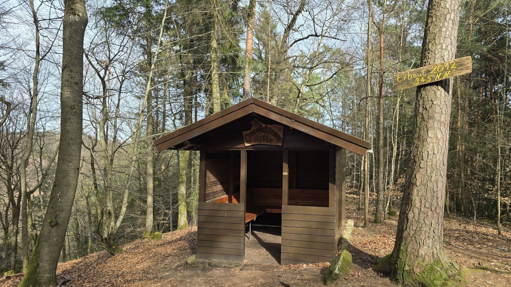
At the eastern end of Rodalben, you finally reach the expansive Clauser Tal valley, where the rocky hiking trail leads northwards, mostly through the Clauser district. Away from all roads, you can enjoy the tranquillity and seclusion of the Palatinate Forest Nature Park. After a while, you reach the Gipfelstürmer seating area, from where you can enjoy a wonderful view of the valley and the surrounding nature park forests. Just a few meters further on is the Gipfelstürmer refuge, which is a great place to rest and have a picnic. After passing a small fountain and leaving the mushroom rock behind you, you reach the far end of the romantic Clauser Tal valley and the Kuhfelsen rock, where shepherds used to settle in its mighty shelter. You can also take another rest and refresh yourself at the seating areas here.
The Clauser Valley with its springs and streams has a charm all of its own and is sure to enchant you.From here, the rocky hiking trail leads south on the other side of the valley, first to the Eisenbörnchen rocks and then, after passing the Wiesental valley with its fallow deer enclosure (partner farm of the Pfälzerwald-Nordvogesen Unesco Biosphere Reserve, which also offers guided hikes and training courses, contact: Damtierhaltung Clausen, Alfred Weber junior, Tel. 0173-6660160), high up to the Klaus and Fuchsfelsen rocks. After the Fuchsfelsen, the tour finally leads to the right along a path down into the valley, where you can follow the valley path in a southerly direction to the Hirschbrunnen and the hikers' parking lot located there.
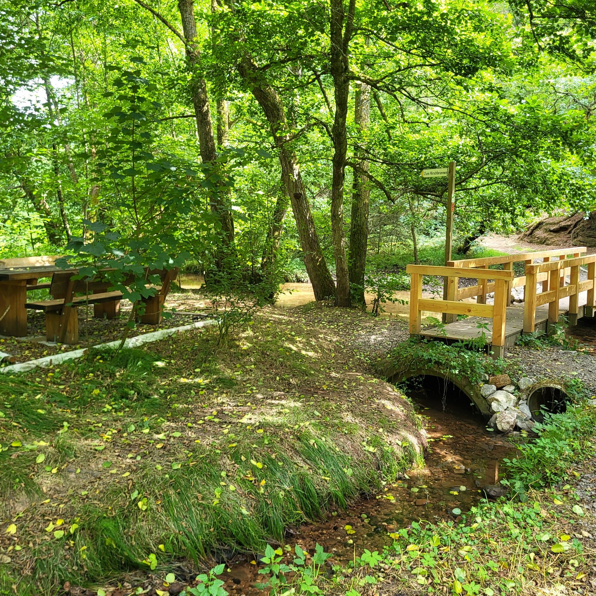
Now you have to cross the L497 between Rodalben and Münchweiler/Rodalb to reach a small wooden bridge that leads over the Rodalb. Here, near the Hirschbrunnen fountain, there is an idyllic rest area that you are welcome to use.The Rodalb valley is wild and romantic, as the course of the stream meanders beautifully and the banks are overgrown with trees and shrubs. From here, you head southwest to the district of Rodalben-Neuhof. There you briefly follow the road in the direction of Neuhof and then take a sharp left onto Neulandstraße.
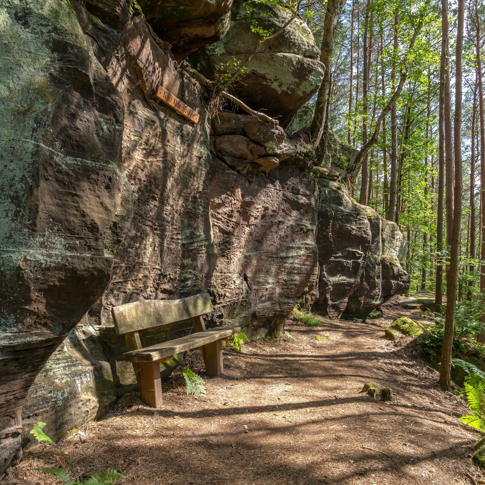
At the end of this road, the Felsenwanderweg finally leads eastwards along a small path on the left. After a few meters, keep right and then right again shortly afterwards. The trail now leads uphill to the Hoher Kopf with its rustic rocks and the "Fledermaushöhle" cave. The small, dome-like room at the end is particularly interesting for children, as it can only be reached via a low tunnel in which even older children have to bend down slightly. Flashlights or cell phones with a flashlight app are also required here, as otherwise you can't see anything. A little further on are the famous Karl May rocks, which could easily have served as a film set for the Winnetou films, as wildly romantic as they blend into the fantastic landscape to the right and left of the path.
You reach the Hungerpfuhl spring - far above extensive meadows and pastures such as Hungerpfuhl and Gemerstal. After passing this, the Hungerpfuhl and, a little later, the Seibelsbach rocks follow before the hiker is offered another rest and picnic opportunity at the Dekan Ehling refuge, which is dedicated to the late Dean Martin Ehling, who was a pastor in Rodalben for many years.
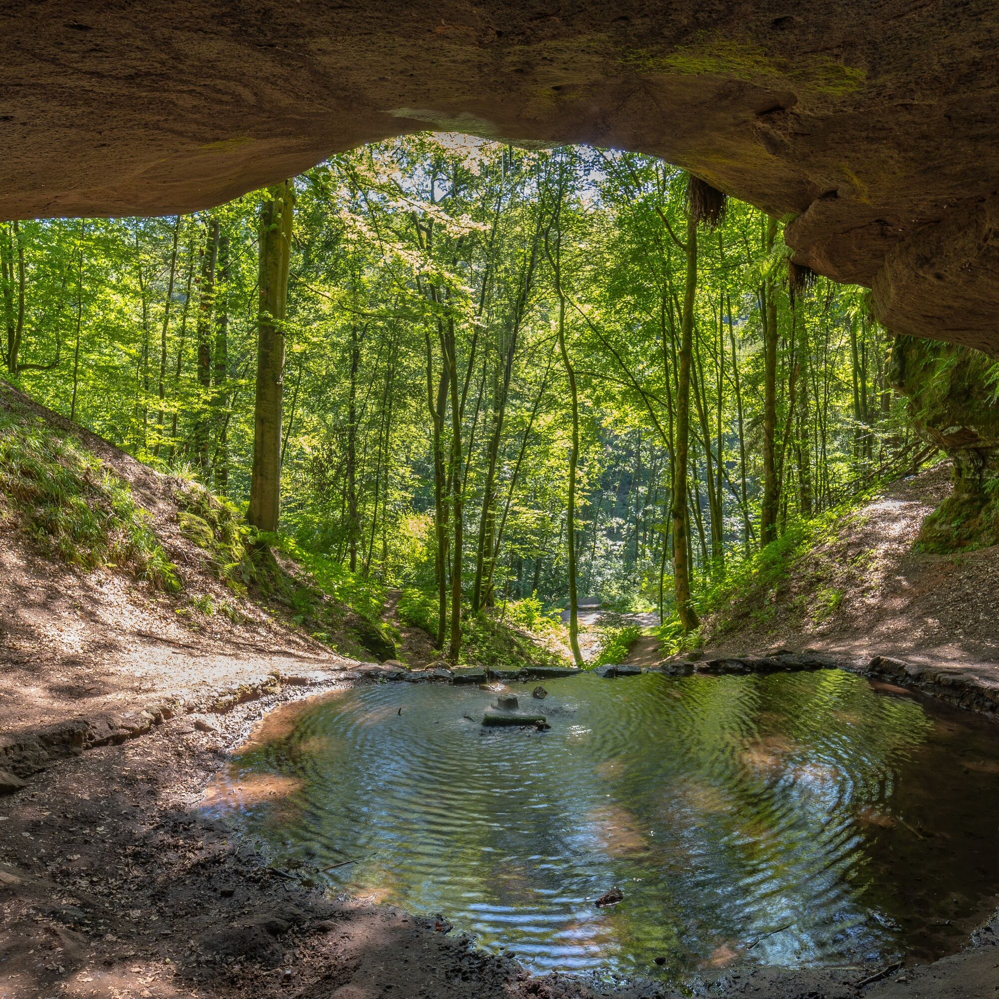
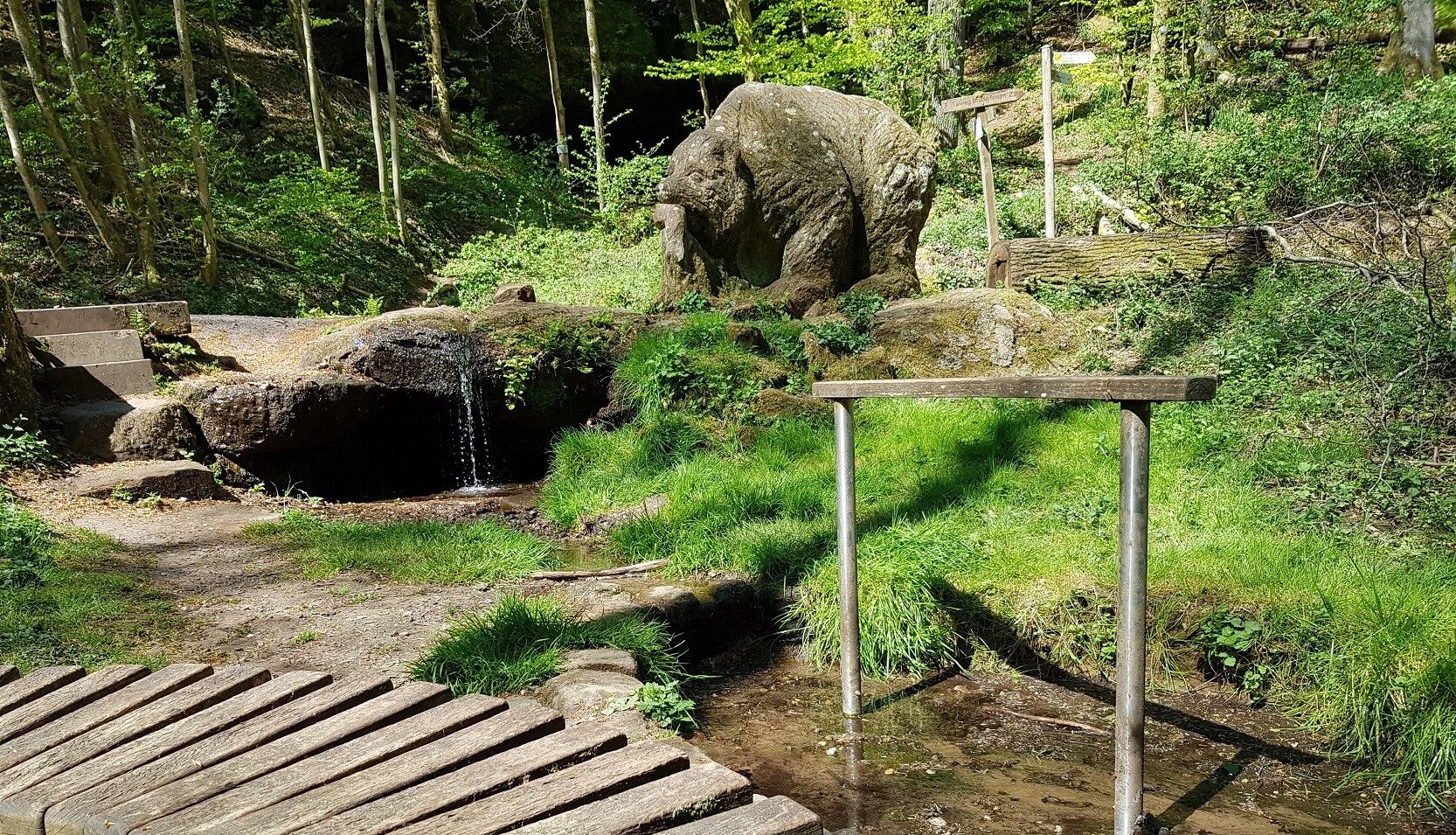
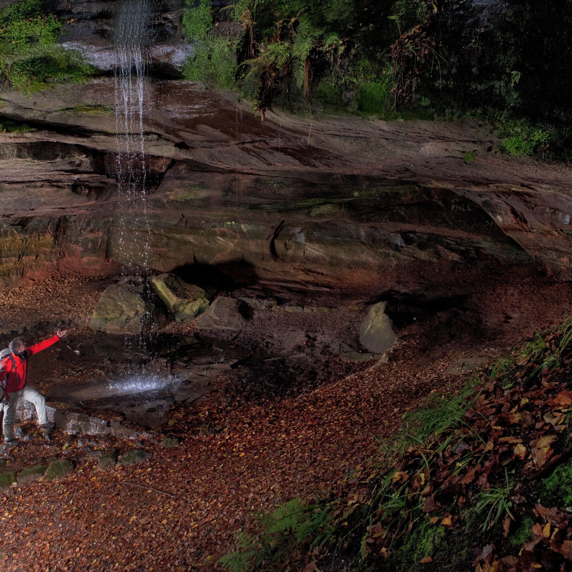
From here, the trail leads into the idyllic Langenbach valley with its small, natural stream. Passing the protected resting place of the Wüstlangenbach rocks and the impressive Langenbach rocks, you finally reach the well-known natural monument Bärenhöhle, the largest natural rock cave in the Palatinate. A spring rises in the cave and flows into the valley via a small waterfall. In addition to a sandstone bear sculpture by local artist Stephan Müller, there is also a natural water treading facility and various seating areas. These, as well as the benches and tables at the upper bear cave, invite you to linger and enjoy this natural temple of peace and relaxation to the full. Please note that the Bear Cave has two levels, so to speak, and take a look at both the huge upper cave located directly on the path and the somewhat smaller but no less interesting lower cave. Both are enchanting and will captivate you.
From the bear cave, you now have 2 options:
Either you stay down in the romantic valley and follow the relatively wide, almost flat path always along the course of the stream in a north-easterly direction before turning left after about one and a half kilometers and taking a steep turn towards the L482 and Bruderfelsen.
Alternatively, you can take the zig-zag path back up to the upper Bärenhöhle cave, turn right there and follow the rocky hiking trail through beautiful, light-flooded mixed forests - past numerous other interesting rock formations such as the water rocks - also in a north-easterly direction. On this route, you will pass small springs and rivulets crossing the path, which is also reflected in the lush vegetation with ferns and other moisture-loving plants. After around 1,800 meters, you also reach the L482, popularly known as the "Bärenhalde" in reference to the famous natural monument, which you have to cross carefully.
The last, smaller but steep ascent of the tour to the Bruderfelsen rock begins opposite. This towers high above the town of Rodalben and is its landmark. According to legend, the mighty sandstone pillars, shaped by weather and erosion, are said to be two brothers who froze to stone in a fierce quarrel over a woman. From here you have a wonderful view over large parts of Rodalben. A seating area and a bench invite you to linger for a while in this beautiful spot. Located below the Bruderfelsen is the municipal administration office with the Gräfensteiner Land tourist information office.
The way back begins not far from here, past the "Alter Bierkeller" down to the hiking station, where the rock hiking trail finally ends. Nearby, on the corner of Bahnhof-/Dr.Johann-Peter-Frank-Straße, there are also 2 motorhome parking spaces without supply and disposal, which can be used free of charge.
At the end of the hike, Rodalben offers a wide range of inns, restaurants, pubs and cafés to round off a successful day in a cozy atmosphere.
Due to the length of the tour, it is advisable to hike the rocky hiking trail in several stages. Information and individual stage suggestions can be obtained from the Gräfensteiner Land tourist information office (tourist@graefensteiner-land.de, 06331 - 234180), where you will also find the relevant maps and information material.
Tak
Tak
Particularly in the fall, you should also be aware that leaves lying on the ground can hide uneven surfaces, roots, stones or holes in the path. After thunderstorms or rainstorms, trees can still fall over or branches can fall down. Especially in adverse weather conditions, muddy and slippery passages can occur on near-natural paths. This type of path impairment must always be expected on hikes. If you are of the opinion that certain sections of the trail are not passable, it is better to avoid them.
In addition, not all rocks or slopes are secured with ropes or railings. Sure-footedness is required in some places. Rocks should not be climbed, especially by children, as the brittle sandstone in particular poses a risk of falling for non-professionals. Never climb over railings and fall protection (danger to life).
Note - We always endeavor to announce all closures that occur due to forestry work or hunting parties on this platform. Nevertheless, there are situations in which hiking trails are closed and we may not have been informed. Should you unexpectedly encounter such a trail closure or detour, we ask you to follow the instructions for your own safety.
Take the B270, in the Donsieders-Biebermühle area change to the L497 towards Rodalben, continue on this road until the Rodalben-Stadtmitte/Pirmasens exit, turn right onto the L482 (Pirmasenser Straße), from here turn left at the crossroads into Hauptstraße, turn left again into Am Spiegelbrunnen, at the end of the street turn right into Bahnhofstraße. The station, from where the tour starts, is on the left.
L482 from Clausen/Donsieders, follow this road towards Pirmasens, drive along Lindersbachstraße to the end, turn right into Hauptstraße, then first straight ahead and then turn left into Am Spiegelbrunnen, at the end of which turn right into Bahnhofstraße. The train station, from where the tour starts, is on the left.
L482 from the direction of Pirmasens, this becomes Pirmasenser Straße, turn left into Hauptstraße, then immediately turn left again into Am Spiegelbrunnen, at the end of which turn right into Bahnhofstraße. The train station, from where the tour starts, is on the left.
There are also several other free parking spaces along the rocky hiking trail, which can be hiked in several stages, from which you can start the tour. For more information on how to get there and suggested stages, please contact the Gräfensteiner Land tourist information office (tourist@graefensteiner-land.de, 06331 - 234180).
Please only park in the designated parking spaces and make sure you keep access routes for emergency vehicles and work paths in the forest clear. For overnight stays in camper vans and caravans, please only use explicitly designated camper van sites. In addition to the aforementioned sites in the center of Rodalben, there are also some in Hettersbach, a quiet side valley of Rodalben.
Tak
T2
Am Rathaus 9, 66976 Rodalben
Tel. 06331/234-180
E-mail : tourist@graefensteiner-land.de
www.grae fensteiner-land.de
Travel guide Gräfensteiner Land
St. Mary's Church and old rectory
Old town with Dr. Johann Peter Frank's birthplace
St. Joseph's parish church with church park
Pulpit rock / viewing platform
Wüstlangenbach rock with seating area
Hettersbach rock with seating area
Rappenteich rock with seating area
Gipfelstürmerhütte and seating area
Easter fountain and devil's hut
Wooden cross shelter and barbecue area
Dean-Ehling hut with rest area
To the old castle
Hiking arena Palatinate Forest-North Vosges
Hiking Park Center Palatinate Forest
Take your time, plan the route in 2-3 stages with rucksack provisions and set off like a scout on a fantastic adventure tour!
Popularne wycieczki w okolicy
- 4,8
Dahner Felsenpfad
średniWędrówka 13,2 km - 4,5
Forsthaus Beckenhof - Pirmasens - Waldhaus Starkenbrunnen - Lemberg
średniWędrówka 13,6 km - 5,0
Karlstal Gorge Circular Hiking Route
średniWędrówka 10,1 km - 4,8
Lemberg - Salzwoog - Schwamborn-Quelle - Teufelstisch
średniWędrówka 11,9 km - 3,7
Eiderbachtal - Hofstätten - 7 Buchen - Annweiler Forsthaus - Eiderbachtal-Parkplatz
średniWędrówka 11,3 km - 3,7
Dahn - Lachberg - Vogelsberg
średniWędrówka 18,7 km - 4,5
Eyberg-Tour (Variante)
średniWędrówka 11,4 km - 4,5
Erfweiler - Hahnberg - Kahlenberg - Schindhard
średniWędrówka 14,6 km - 5,0
Lembergblick - Rothenberg - Mühlberg - Waldhaus Drei Buchen
średniWędrówka 9,72 km - 4,7
Tour D of the PWV Rodalben
średniWędrówka 9,79 km
Wędrówki i tropienie


Nie przegap ofert i inspiracji na następne wakacje
Twój adres e-mail została dodana do listy mailingowej.





