


UNESCO World Heritage Site "Oberes Mittelrheintal"
Zdjęcia naszych użytkowników
-
 © Andreas OpitzUtworzono dnia 08.10.2022
 -
 © Andreas OpitzUtworzono dnia 08.10.2022
 -
 © Andreas OpitzUtworzono dnia 08.10.2022
 -
 © Andreas OpitzUtworzono dnia 08.10.2022
 -
 © Andreas OpitzUtworzono dnia 08.10.2022
 -
 © Andreas OpitzUtworzono dnia 08.10.2022
 -
 © Andreas OpitzUtworzono dnia 08.10.2022
 -

 © MMUtworzono dnia 03.10.2024
 -
 © MMUtworzono dnia 03.10.2024
 -
 © MMUtworzono dnia 03.10.2024
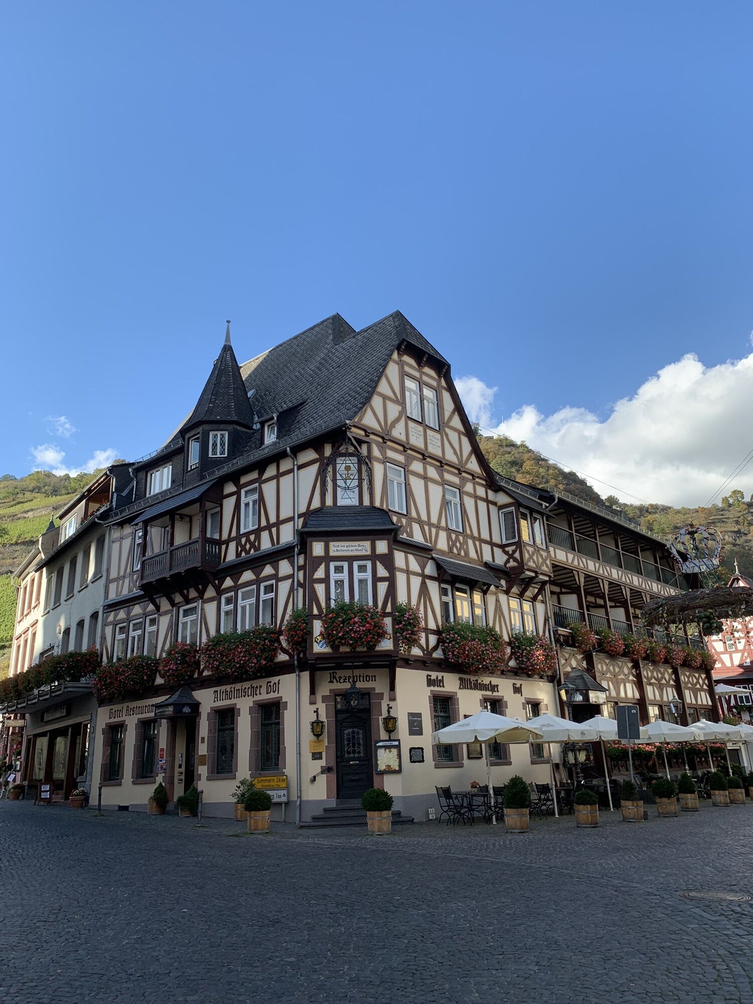
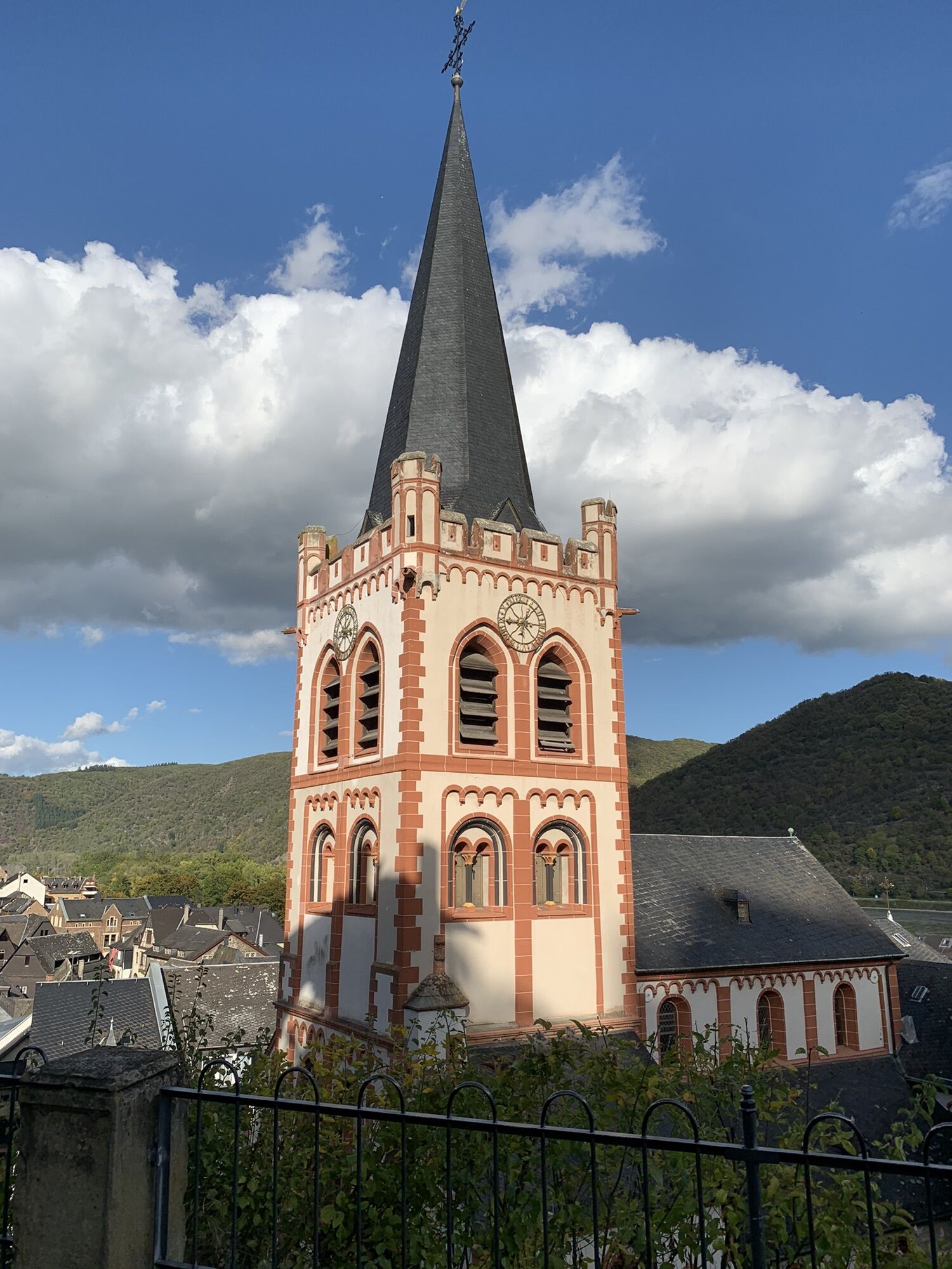
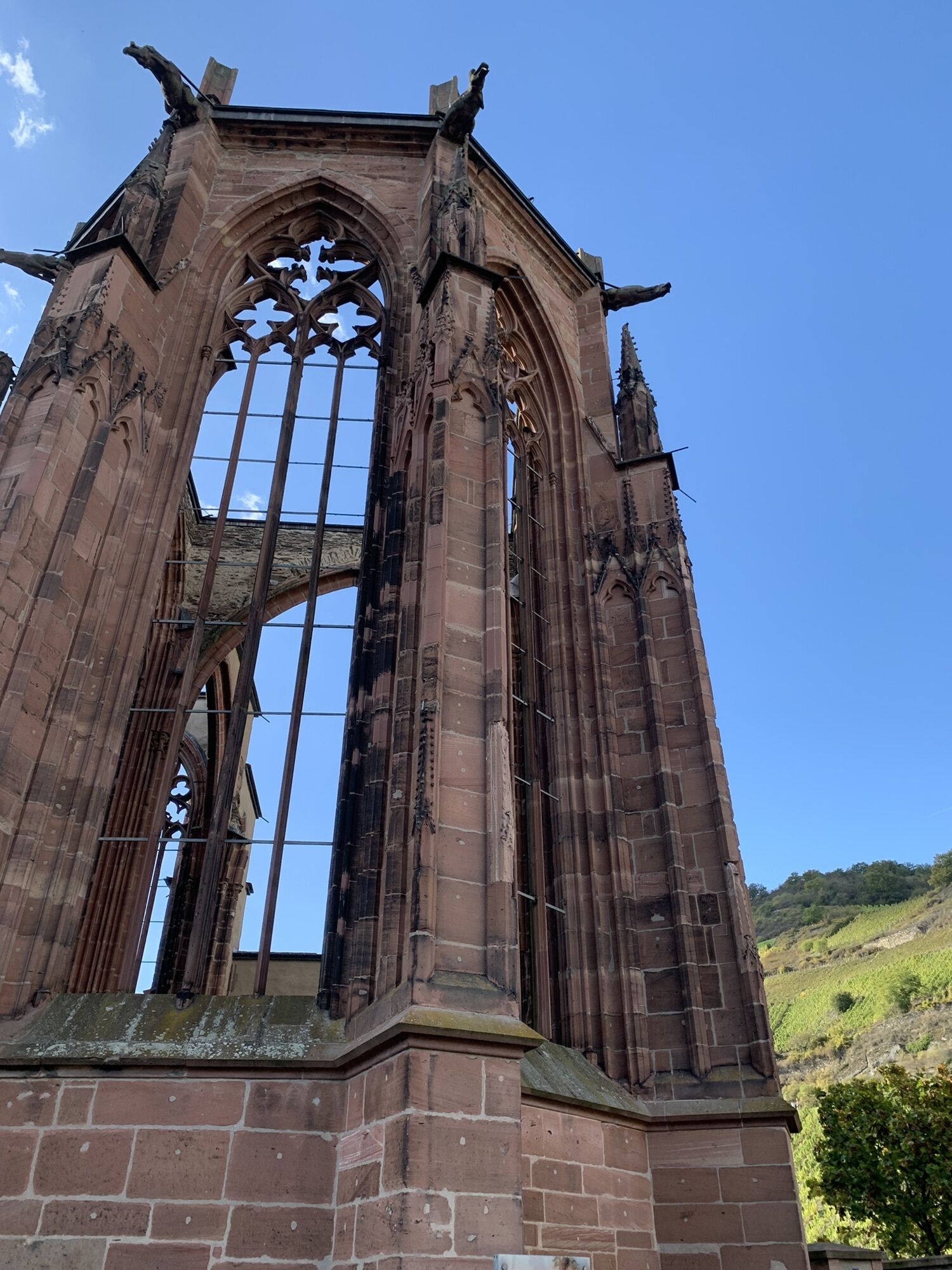


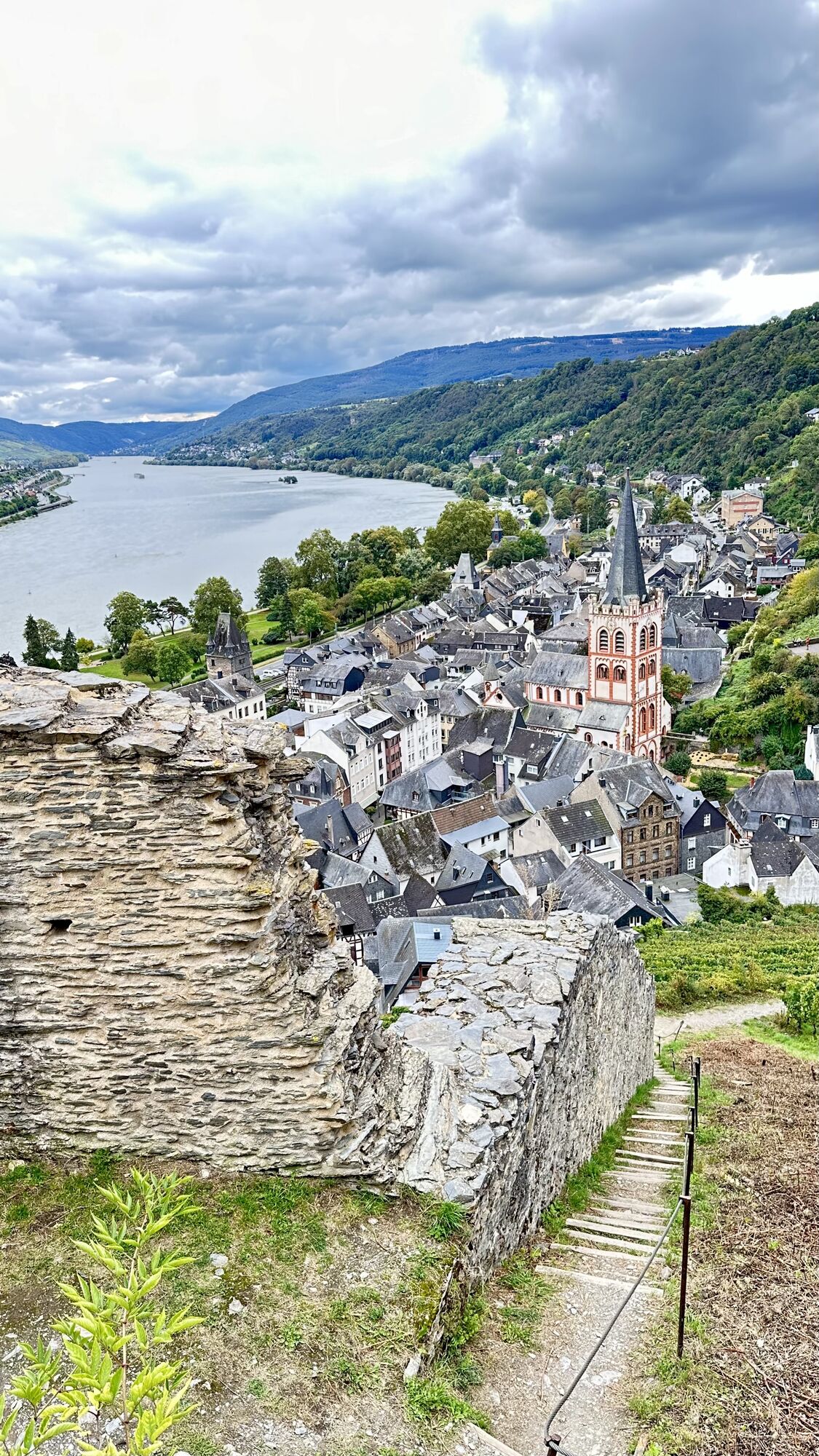
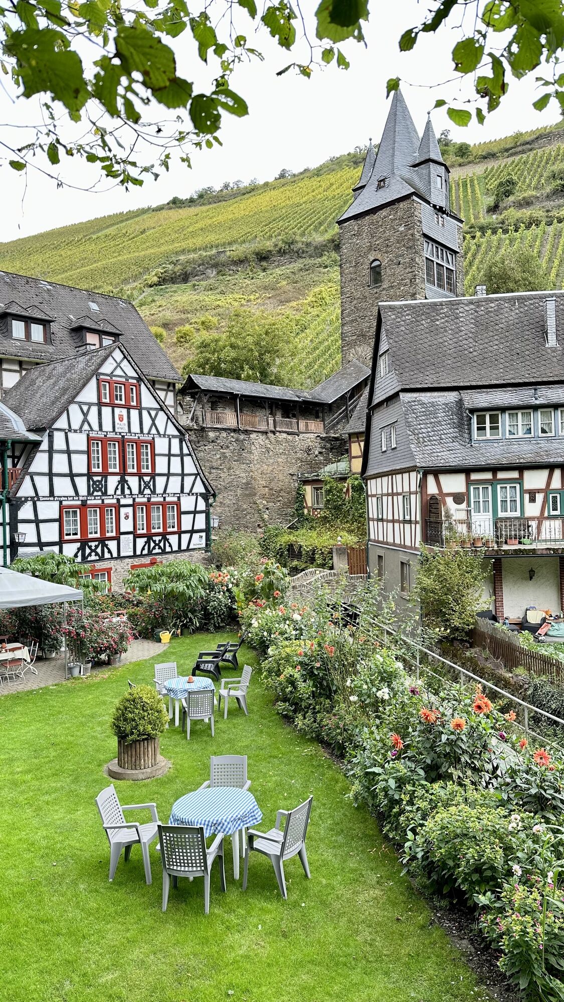
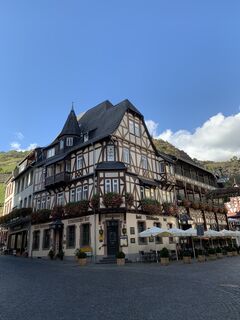
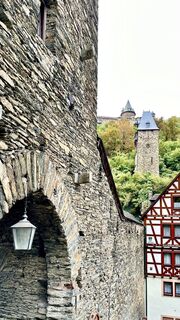
From Simmern, the tour runs through small villages in a varied up and down to Rheinböllen. A few kilometres later, a rewarding and extended descent into romantic Bacharach with its half-timbered houses...
From Simmern, the tour runs through small villages in a varied up and down to Rheinböllen. A few kilometres later, a rewarding and extended descent into romantic Bacharach with its half-timbered houses in the World Heritage Upper Middle Rhine Valley awaits. The ascent via Henschhausen back into Hunsrück is not for the faint-hearted - but you will be rewarded with a fantastic panoramic view. Please note: The tour includes a short section of cobblestones.
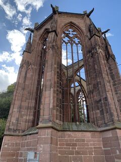
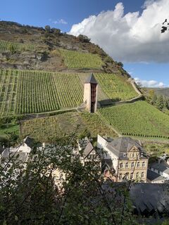
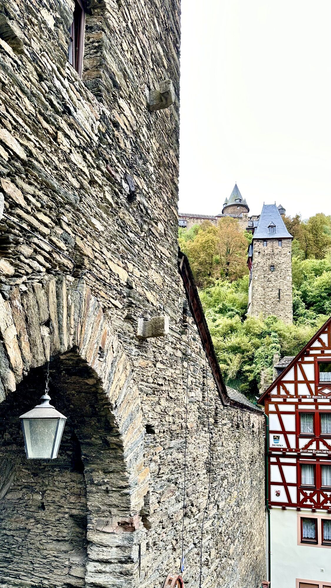
From the starting point, the tour runs through Simmern and leaves the town in a south-easterly direction. Via the villages of Riesweiler, Argenthal and Ellern, the route leads to Rheinböllen. Here the route turns right towards Bacharach. A short time later, the route descends in an extended downhill in long serpentines through dense forest, which changes into vineyards shortly before Bacharach. Through the gate of the Holzmarktturm and through the old town of Bacharach and a short stretch parallel to the Rhine, the path leads over cobblestones to the panoramic ascent into the Hunsrück. First through vineyards, later through the villages of Langscheid, Perscheid and Wiebelsheim, metres of altitude are gained - the climb to Henschhausen makes your calves burn! Via Benzweiler and Rayerschied you return to Wahlbach and from there back to Simmern.
HelmetMobile phone with full batteryCash, ID cardNavigation device, mapsAir pump / compressed air cartridgeSpare inner tubeSufficient beveragesEnergy bar / gelWind / rain jacket
Observe the traffic rules, pay attention to other road users and drive at an appropriate speed, especially in the exits. Be considerate of other cyclists and pedestrians.
By car on the B50, take the Kastellaun/Simmern-West/Zentrum/Koblenzer Str exit and take the first exit at the roundabout. The car park is on the left after the subway.
Those who wish to travel by train can also start the tour in Bacharach.
Parking lot at the Schinderhannes cycle path in Simmern.
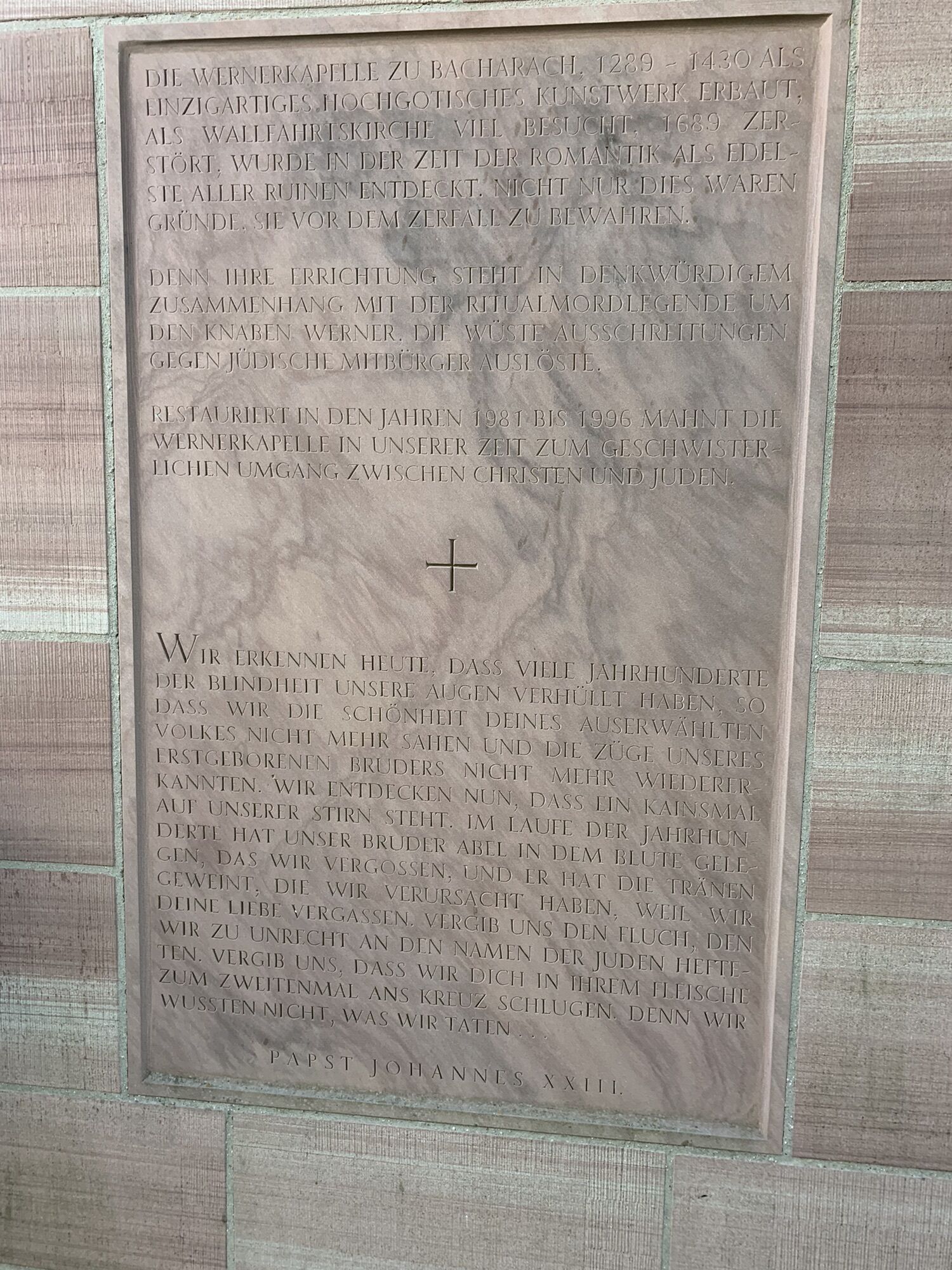
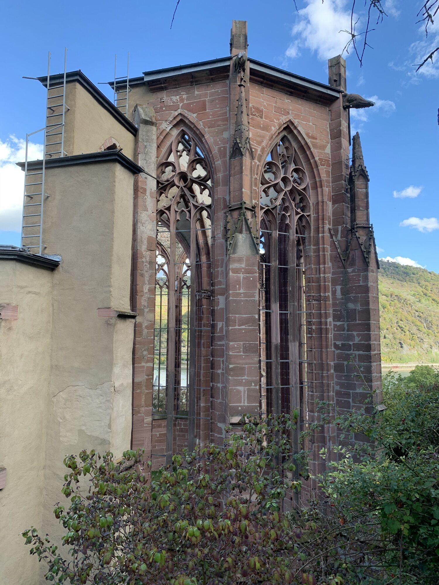
It is worth taking time for a short stroll through the romantic old town of Bacharach.
Popularne wycieczki w okolicy
-
5,0
Traumschleife Mittelrhein
ciężkiWędrówka 14,7 km -
5,0
Panorama trail St. Goar
średniWędrówka 8,47 km -
5,0
Dream Loop Upper Baybach Valley
ciężkiWędrówka 15,6 km -
5,0
Traumschleifchen Pfalzblick
światłoWędrówka 5,68 km -
Pfalzfeld - Geierlay suspension bridge
średniJazda na rowerze 28,1 km -
5,0
Traumschleifchen Baybachquellen
światłoWędrówka 6,22 km -
5,0
Kaub - Burg Herzogenstein - Spitznack - Hasenberg
ciężkidługodystansowy szlak pieszy 22,1 km -
5,0
Kaub - Bacharach - Clemenskapelle - Pfarrkirche St. Martin
średnidługodystansowy szlak pieszy 13,8 km -
3,0
Dream route Spitzer Stein
średniWędrówka 6,64 km -
Traumschleife Schwede-Bure
średniWędrówka 11,9 km

Wędrówki i tropienie


Nie przegap ofert i inspiracji na następne wakacje
Twój adres e-mail została dodana do listy mailingowej.