


3-Bäche route (formerly Fassbodentour 2)
Poziom trudności: 2
The 3-Bäche route leads you from Bad Bergzabern through the vineyards to Hergersweiler and through the Tiefental valley to Billigheim-Ingenheim. From here, it goes along the Klingbach through Heuchelheim-Klingen...
The 3-Bäche route leads you from Bad Bergzabern through the vineyards to Hergersweiler and through the Tiefental valley to Billigheim-Ingenheim. From here, it goes along the Klingbach through Heuchelheim-Klingen to Klingenmünster and from there along the German Wine Route over Gleiszellen-Gleishorbach and Pleisweiler-Oberhofen back to Bad Bergzabern.
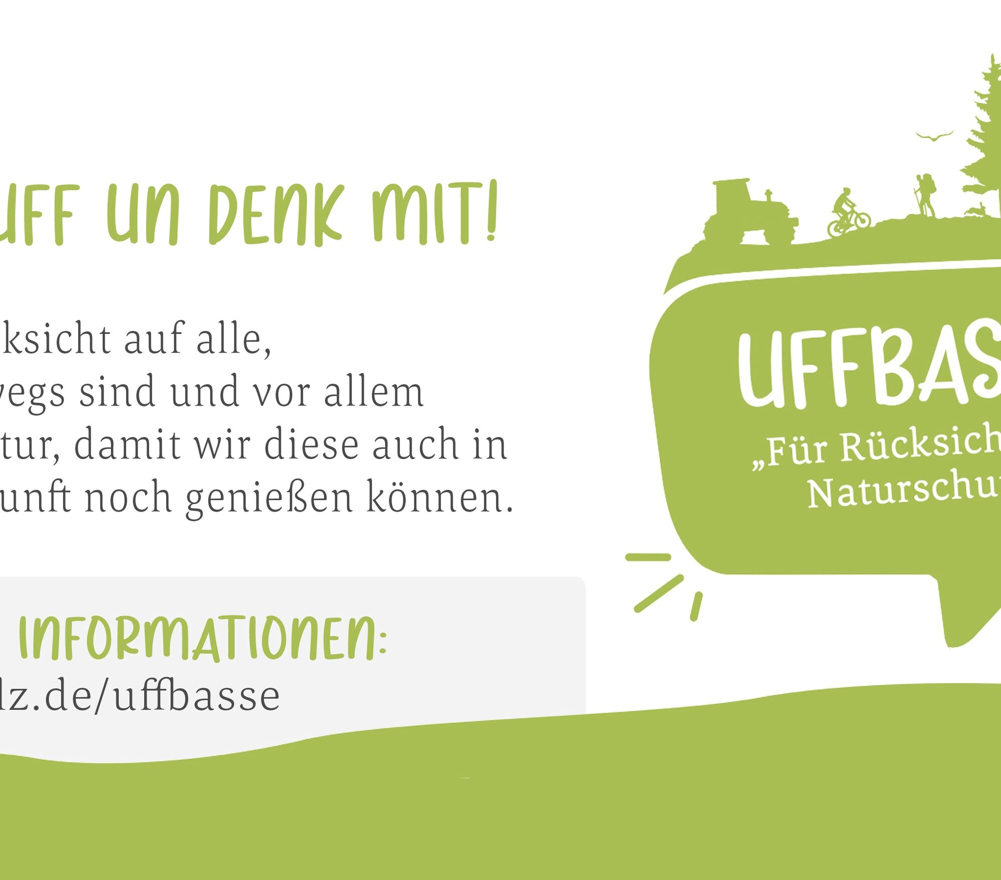
WATCH OUT! - campaign for considerate coexistence in nature! More info at www.pfalz.de/uffbasse
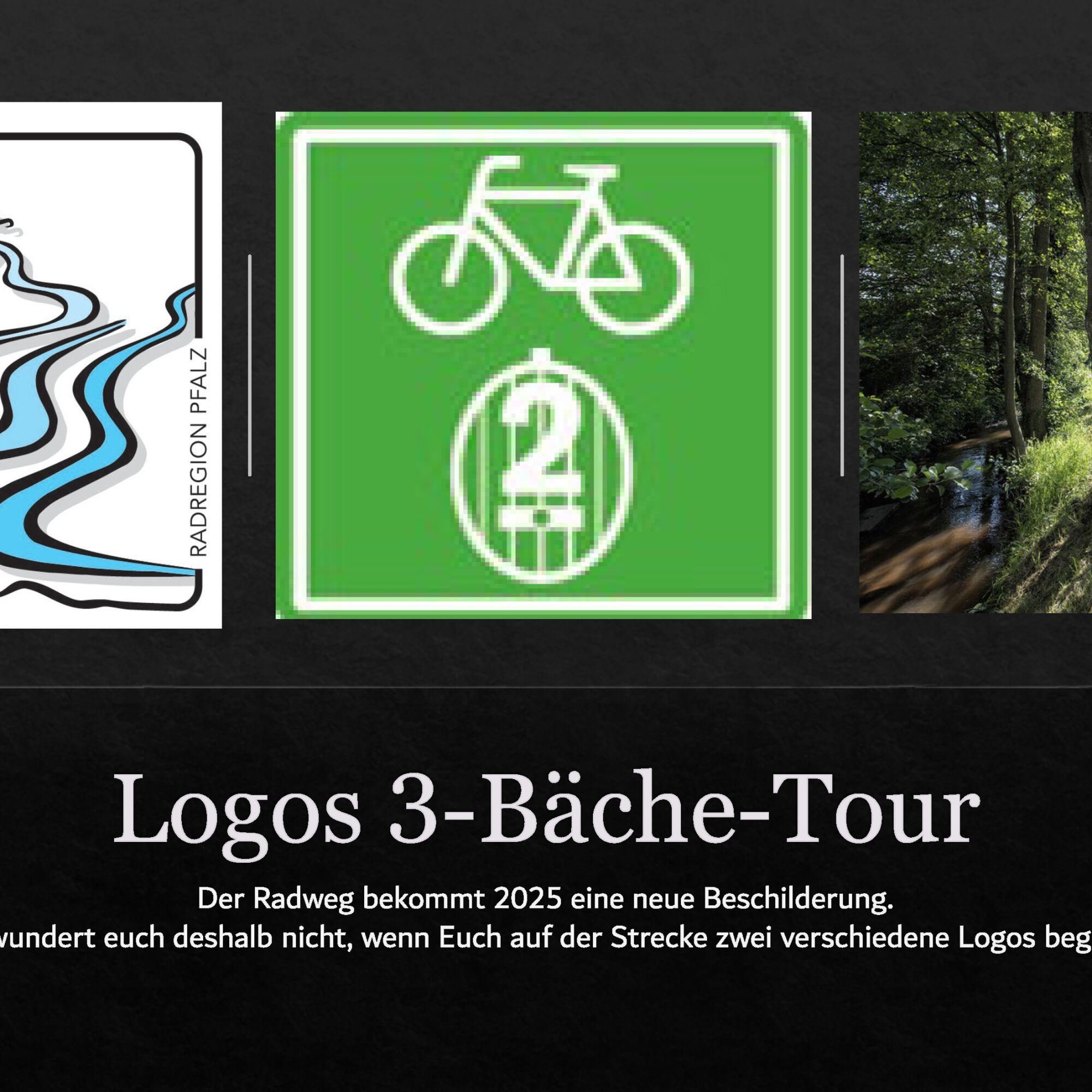
FOR YOUR INFORMATION: The cycle path will get new signage in 2025. Please do not be surprised if you see the two different logos, as shown in the pictures, along the route.

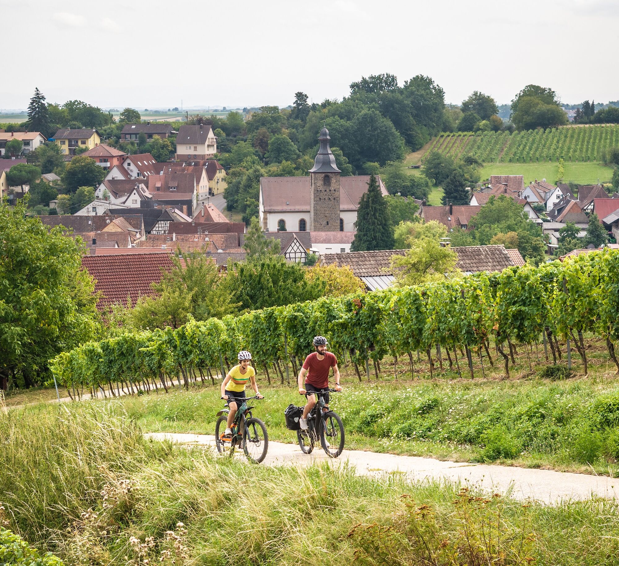
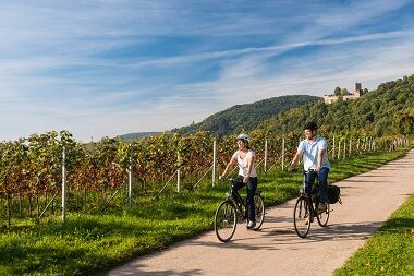
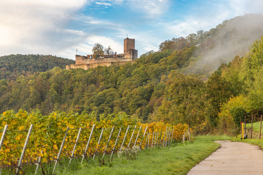
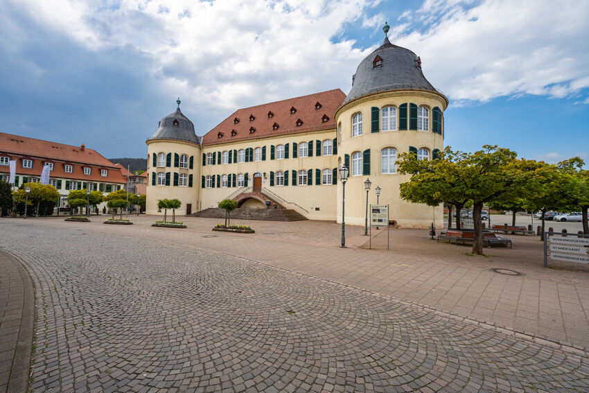
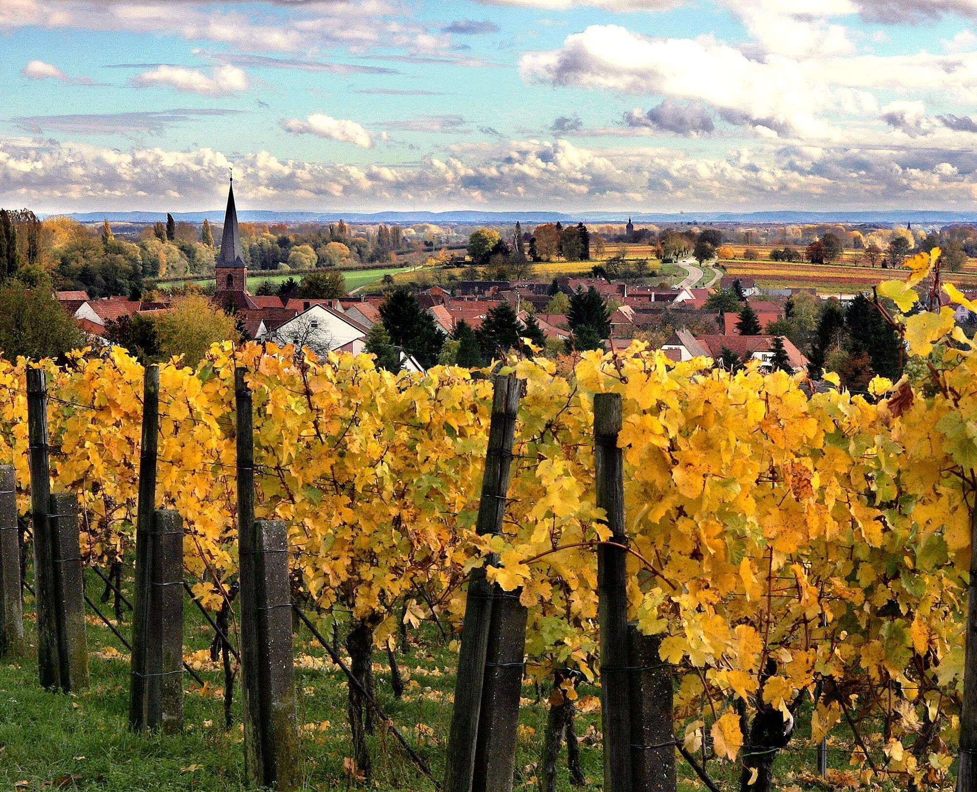
The starting point is the castle/municipal administration in Bad Bergzabern. Coming from the train station, go straight at the roundabout following the signs to the municipal administration/castle. From here, cycle through the town always following the signage until you reach the southern exit of Bad Bergzabern. It continues through the vineyard landscape of the German-French border area up to the Hergersweiler height. Here the signs show you the way left to the village of Hergersweiler. Through the village, continue north until you reach Billigheim-Ingenheim after about 6 km. Here you will join the Klingbach cycle path and follow it by turning left and riding over Ingenheim and Klingen with views of the Palatinate Forest and the Landeck ruin, up to Klingenmünster. Don't forget to enjoy the beautiful view of the Rhine Plain from time to time, as now you will proceed along the Haardt ridge on a gently hilly route through the towns of Gleiszellen-Gleishorbach and Pleisweiler-Oberhofen back to Bad Bergzabern, the starting point of your route.
Sturdy footwear, weather-appropriate clothing, sun and rain protection, as well as sufficient supplies of food and drinks, as not everywhere is there the possibility to stop for refreshments or buy supplies, or they may not be open. Although the route is very well signposted throughout, for safety reasons you should always carry a suitable bike/hiking map with you.
Especially in autumn, you should be aware that fallen leaves on the ground can cover unevenness, roots, stones, or holes on the path. You must expect such path impairments when going on a bike route. If you consider certain sections of the route not passable for you, you should avoid them. Particularly in adverse weather conditions, natural paths can have muddy and slippery sections.
You can reach Bad Bergzabern from the A 65 motorway via federal roads 38 or 427.
The Bad Bergzabern train station is only about 300 meters away from your starting point.
You can find parking spaces directly at your starting point in Bad Bergzabern, the Bad Bergzabern castle.
2
Southern Wine Route e.V.
Tourism Center
An der Kreuzmühle 2
76829 Landau
06341 940407
www.suedlicheweinstrasse.de
Make a detour to Landeck Castle near Klingenmünster, enjoy the view over the Rhine Plain and a small refreshment at the castle tavern!
Popularne wycieczki w okolicy
- 4,5
Annweiler Castle Trail
średniWędrówka 7,72 km - 4,3
Eschbach-Trifelsblick-Madenburg-Eschbach
światłoWędrówka 9,37 km - 5,0
Palatinate Weinsteig Stage 08 Dernbach - Annweiler am Trifels
ciężkidługodystansowy szlak pieszy 14,4 km - 4,5
Palatinate Wine Trail stage 11 Bad Bergzabern - Schweigen-Rechtenbach
średnidługodystansowy szlak pieszy 15,8 km - 3,5
Pfälzer Weinsteig Stage 10 Klingenmünster - Bad Bergzabern
średnidługodystansowy szlak pieszy 12,9 km - 4,5
Border region route
średniWędrówka 11,4 km Gleisweiler - Auf der Steinrutsch - St.-Anna-Kapelle - St.-Anna-Hütte
średniWędrówka 11,5 kmPalatinate Wine Trail Stage 09 Annweiler am Trifels - Klingenmünster
ciężkidługodystansowy szlak pieszy 17,6 kmGleiszellen - Burg Landeck - Martinsturm
średniWędrówka 12,2 km- 5,0
Leinsweiler - Slevogtweg - Auf den Spuren von Max Slevogt
średniWędrówka 9,29 km
Wędrówki i tropienie


Nie przegap ofert i inspiracji na następne wakacje
Twój adres e-mail została dodana do listy mailingowej.