







Palatinate Wine Trail stage 11 Bad Bergzabern - Schweigen-Rechtenbach
From Bad Bergzabern, it is time to discover the fairy-tale holiday and vintner village of Dörrenbach. Passing the Guttenberg ruin, the Palatinate Wine Trail finally reaches its destination at the German...
From Bad Bergzabern, it is time to discover the fairy-tale holiday and vintner village of Dörrenbach. Passing the Guttenberg ruin, the Palatinate Wine Trail finally reaches its destination at the German Wine Gate. From the market square in Bad Bergzabern, it goes through the spa park. Walking between the vine stocks, you can enjoy a view of the Rhine plain before you dive into the fairy-tale forest around Dörrenbach. Highlights of the tour: picturesque half-timbered houses, rustic wine taverns, and the 400-year-old town hall that inspires dreams. Past the historic fortified church, the path leads uphill to the Kolmerberg Chapel. Once at the top, the Stäffelsberg with its lookout tower offers a panoramic view of the Black Forest, the Rhine plain, and the Alsace. Along the southern slopes of the Farrenberg, you reach the Guttenberg ruin and descend into the valley. A final trail section between rows of vines leads to the German Wine Gate in Schweigen-Rechtenbach. Finally, a detour to the beautiful Wissembourg is recommended.
UFFBASSE! - Campaign for a considerate coexistence in nature
Fire & Smoking - Making fire, smoking, and grilling are strictly prohibited in the forest and must be avoided! Fires and thus major damage to nature and wildlife can only be prevented this way.
Be considerate - Always behave thoughtfully, friendly, and considerately towards everyone you meet on the way.
Nature conservation - Stay on designated paths and avoid unnecessary noise when you are out in nature. Leave the forest by dusk at the latest to avoid disturbing the rhythm of nocturnal animals.
Picnic & waste - Remember a rubbish bag for the way and take your waste back home. Use only the furnished rest areas for breaks and picnics.
Leash your dogs - Please always keep your dog on a leash. Other visitors and animals will thank you.
Further information at: www.pfalz.de/uffbasse

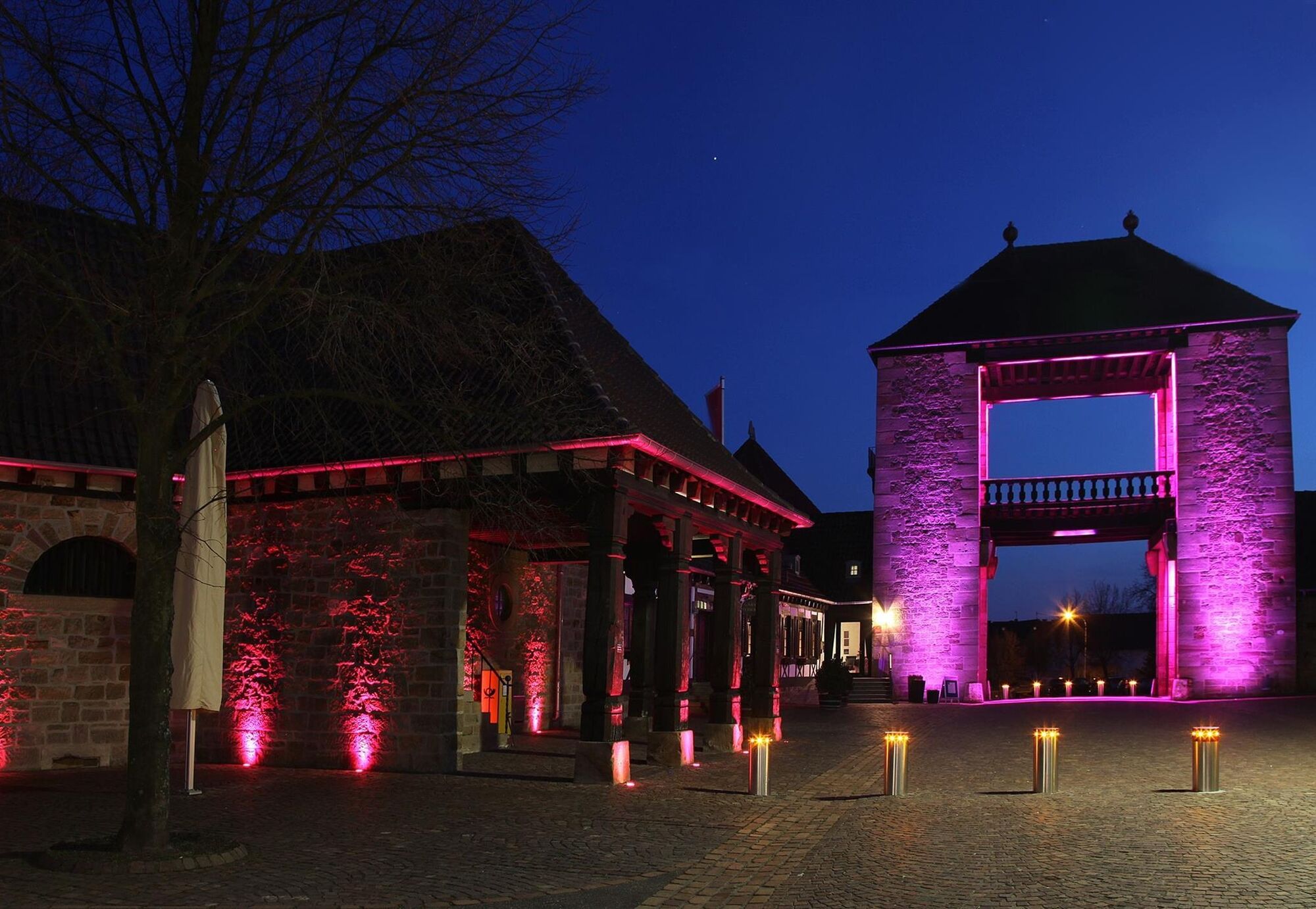
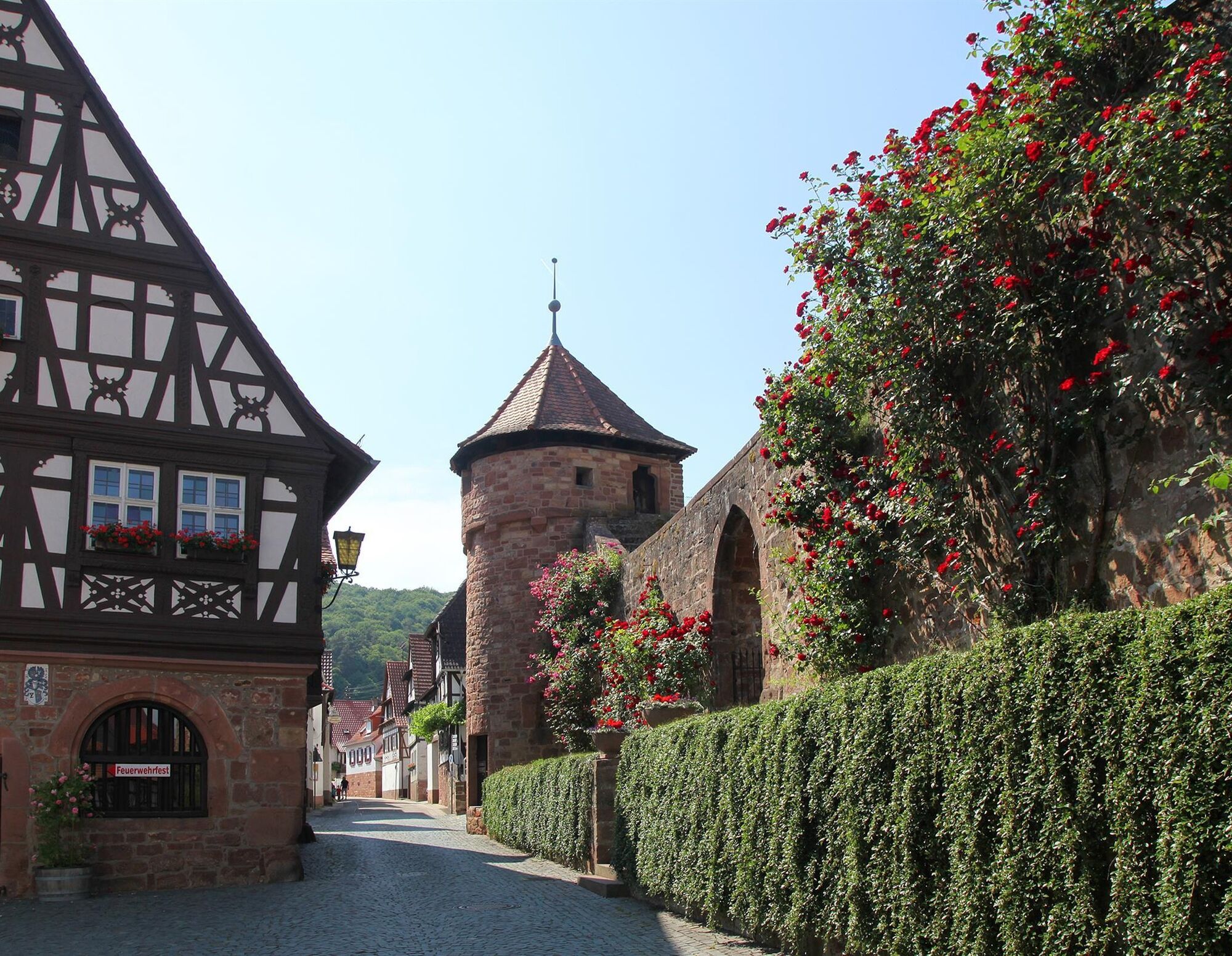
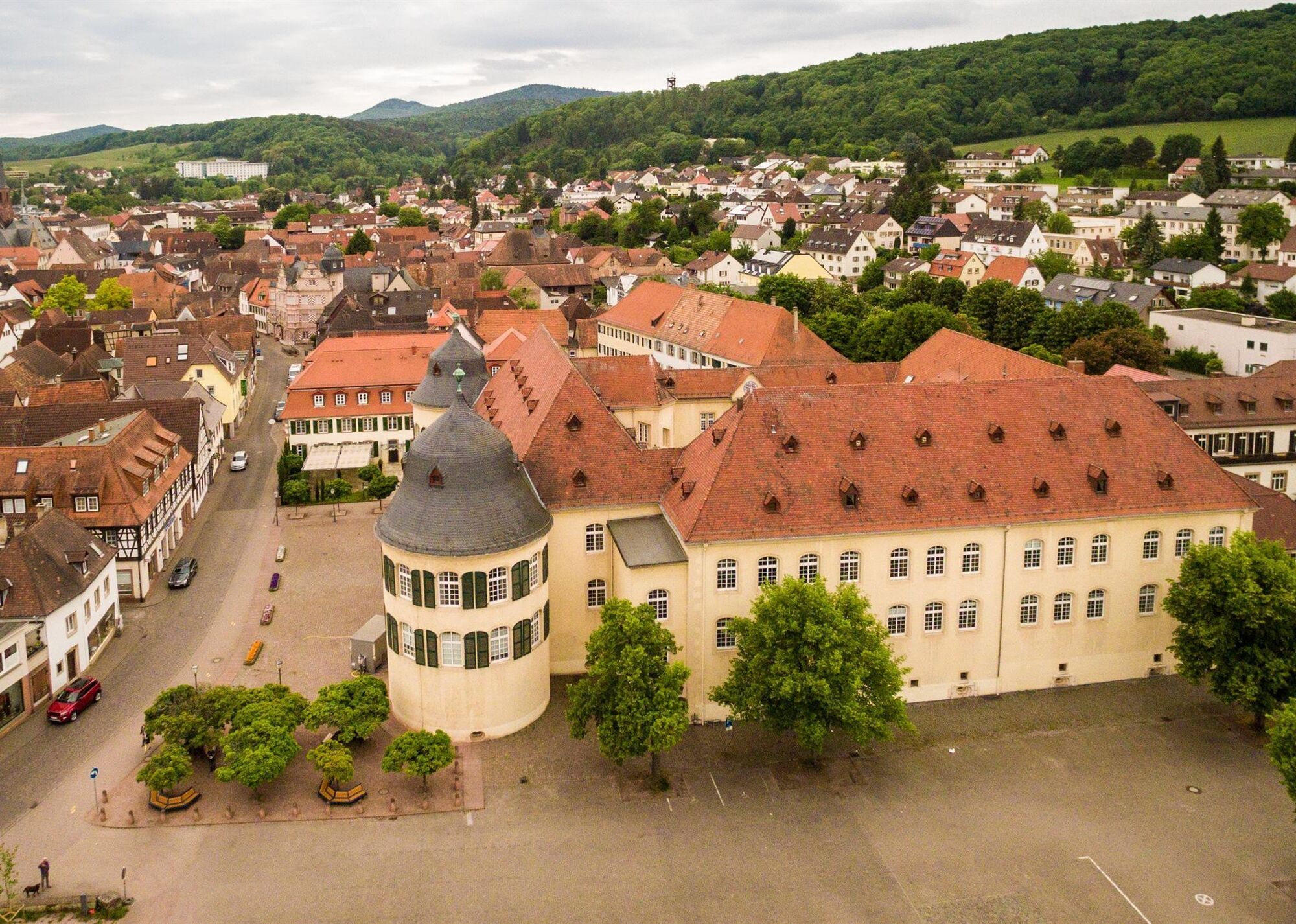
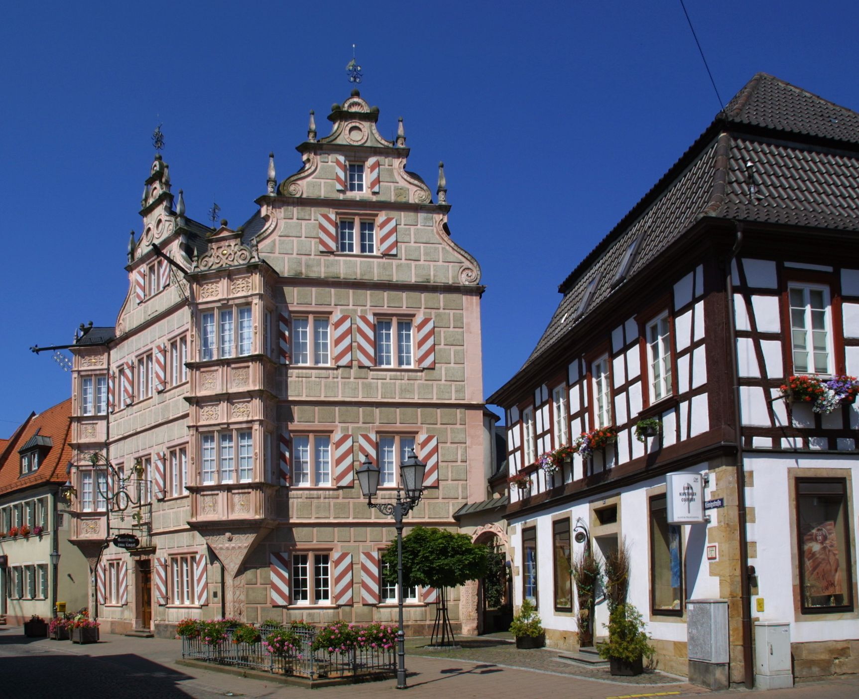
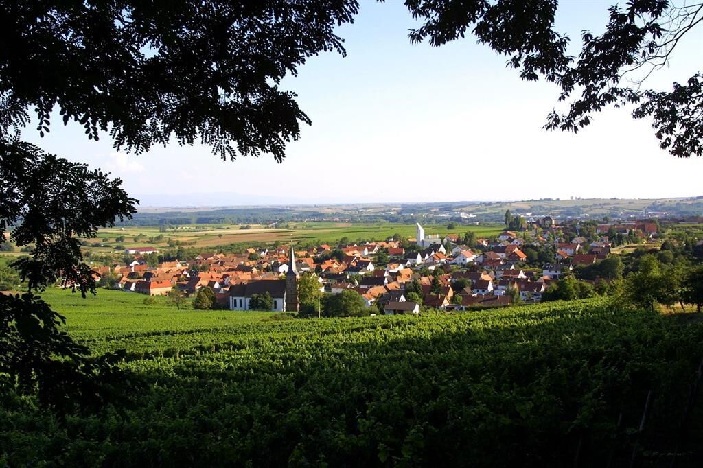
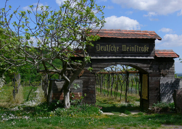

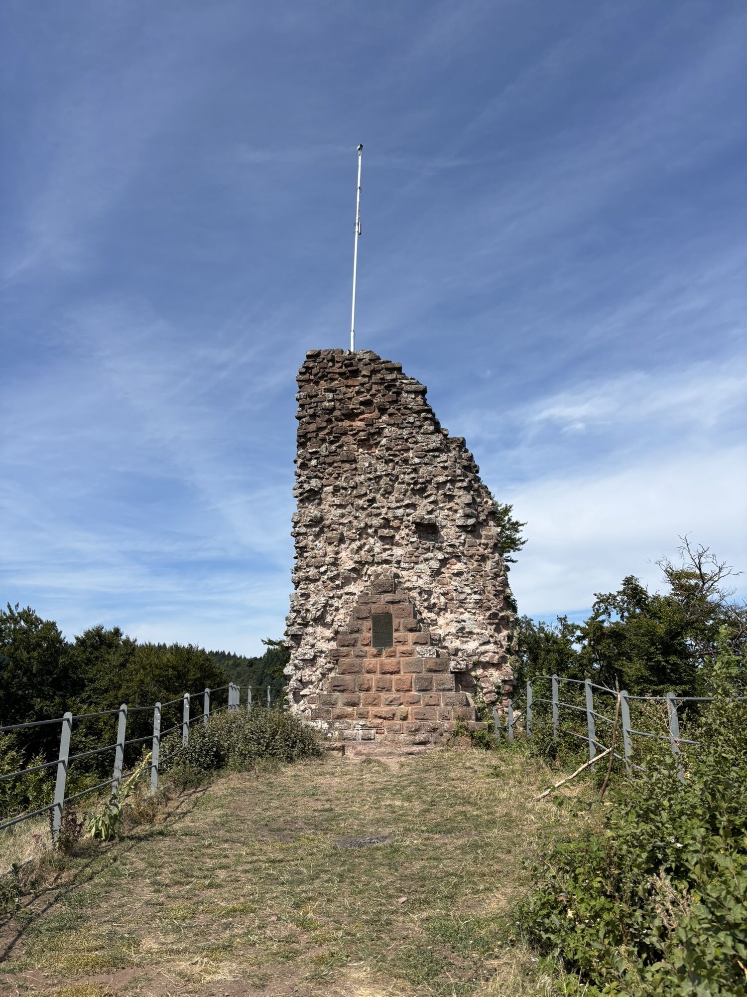
Our last stage begins at the market square in Bad Bergzabern. After a leisurely warm-up stretch through the beautifully landscaped spa park of the town, we hike into the vineyards. We pass a shelter hut in the forest and then reach Dörrenbach along the meadow valley, one of the most beautiful places on the German Wine Route. Picturesque half-timbered houses and rustic wine taverns invite you to linger here. We stroll past the 400-year-old Renaissance-style half-timbered town hall and the historic fortified church and then climb up through the forest to the Kolmerberg Chapel, one of the most popular pilgrimage churches in the South Palatinate. On shady paths, we continue upwards to the viewpoint on the Stäffelsberg. Afterwards, we hike downhill through the forest, follow the Westwall Trail along the southern slopes of the Farrenberg, and thus reach the Guttenberg ruin (5) on Schlossberg. Beyond the ruin begins a longer descent, past a trail junction with a shelter hut, down to the attractively situated landscape pond in the Breitenborn valley. Now only a scenic section through sunny vineyards separates us from the end point of our hike, the famous German Wine Gate in Schweigen-Rechtenbach. In front of the 18 m high landmark of the German Wine Route, we have finally made it and can look back on eventful days on the Palatinate Wine Trail. Over the yellow-red marked access path of the Wine Trail, a detour to the nearby Wissembourg, only 3 kilometers away, is worthwhile. The beautiful French town offers numerous dining and shopping opportunities and has a train connection towards Neustadt.
Tak
Tak
For our hikes, we recommend the following standard equipment:
Sturdy footwear Weather-appropriate clothing Sun and rain protection A sufficient supply of food and drinks, as dining or shopping opportunities are not always available or open everywhere. Even though the paths are very well marked throughout, for safety reasons it is always advisable to carry a suitable hiking map so that, for example, in case of a thunderstorm or emergency you can quickly find a safe area.Hiking on natural paths and trails - Especially in autumn, be aware that fallen leaves on the ground can conceal uneven spots, roots, stones, or holes in the path. After thunderstorms or rainstorms, trees may still fall or branches may drop. Particularly in adverse weather conditions, natural paths may have muddy and slippery sections. Not all rocks or cliffs are secured with ropes or railings. Surefootedness is sometimes required. You should expect such trail impairments when undertaking a hike. If you consider certain trail sections impassable for you, you should avoid them. Despite the 'unleavable' marking of the premium hiking trails, we recommend always carrying an appropriate hiking map for safety reasons so that, for example, in case of a thunderstorm or emergency, you can quickly find a safe area. Trail closures and detours must be strictly observed.
Hazard situations - In case of an emergency, quick help is needed. And even though mobile phones emit GPS signals, classical rescue points often provide the quickest assistance. These are located at spots that are easily accessible to rescue vehicles. Remember the points with green signs and a white cross. Return there in an emergency and give the number on the sign when calling for help. That way, rescuers will know where to find you.
On the A65 to the Landau-Süd exit, then on the B38 to Bad Bergzabern
By train to Bad Bergzabern
Timetable information: via the DB travel information and in the DB Navigator app
Castle parking lot
Train station parking lot
Please park only in designated parking spaces and always keep access routes for emergency vehicles and work paths in the forest and vineyards clear. For overnight stays in a camper or caravan, there are explicitly designated motorhome parking spaces.
Tak
Walk around Dörrenbach, the Sleeping Beauty of the Palatinate
Climb the Stäffelsberg tower
Detour to Wissembourg with a touch of savoir-vivre
 Uzyskaj wgląd
Zawsze na żywo z ponad 9 500 kamer internetowych. bergfex Jako użytkownik Pro, możesz teraz zobaczyć odpowiednie kamery internetowe dla wielu wycieczek w aplikacji wycieczki od. Pozwala to na bezpośredni podgląd aktualnych warunków.
Uzyskaj wgląd
Zawsze na żywo z ponad 9 500 kamer internetowych. bergfex Jako użytkownik Pro, możesz teraz zobaczyć odpowiednie kamery internetowe dla wielu wycieczek w aplikacji wycieczki od. Pozwala to na bezpośredni podgląd aktualnych warunków.
Popularne wycieczki w okolicy
-
4,8
Dahner Felsenpfad
średniWędrówka 13,2 km -
4,5
Annweiler Castle Trail
średniWędrówka 7,72 km -
4,2
Eschbach-Trifelsblick-Madenburg-Eschbach
światłoWędrówka 9,37 km -
4,8
Napoleon-Steig
średniWędrówka 12,3 km -
4,5
Schusterpfad
średniWędrówka 16,4 km -
3,7
Dahn - Lachberg - Vogelsberg
średniWędrówka 18,7 km -
4,5
Northern Vosges - Circuit of the 4 castles
średniWędrówka 6,49 km -
4,5
Eyberg-Tour (Variante)
średniWędrówka 11,4 km -
4,5
Erfweiler - Hahnberg - Kahlenberg - Schindhard
średniWędrówka 14,6 km -
5,0
Hexenplätzel - Löffelsberg - Buhlsteine - Heidenberg
ciężkiWędrówka 25,5 km
Wędrówki i tropienie


Nie przegap ofert i inspiracji na następne wakacje
Twój adres e-mail została dodana do listy mailingowej.





