



Saar-Hunsrück Climb - 14th Leg: Herrstein - Forellenhof Reinhardtsmühle


From the historic center of Herrstein, the stage leads the first kilometers parallel to the dream loop Mittelalterpfad through beautiful forests and over ridges with magnificent views. After crossing the...
From the historic center of Herrstein, the stage leads the first kilometers parallel to the dream loop Mittelalterpfad through beautiful forests and over ridges with magnificent views. After crossing the Hosenbach valley, we experience an alternation of wide views and forest formations.
At the village of Sonnschied there are several magnificent views of the Hahnenbach valley and its surroundings before the descent into the valley begins. In the lower part we follow the course of the Steinbach until we reach the small village Rudolfshaus. From there it is another 800 m parallel to the Hahnenbach to the stage destination, the trout farm Reinhardtsmühle.
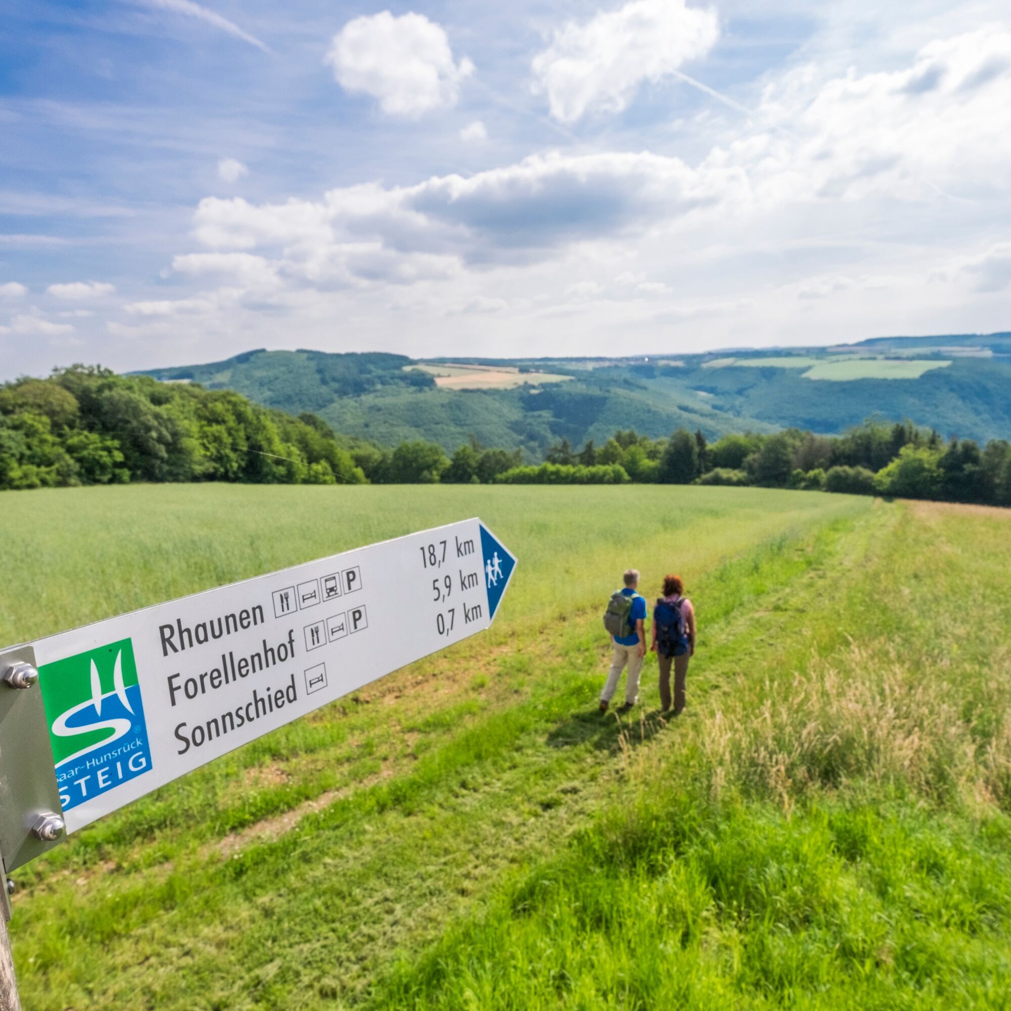
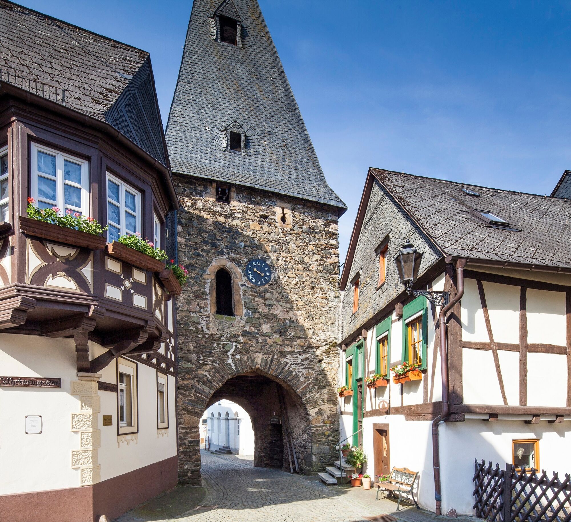
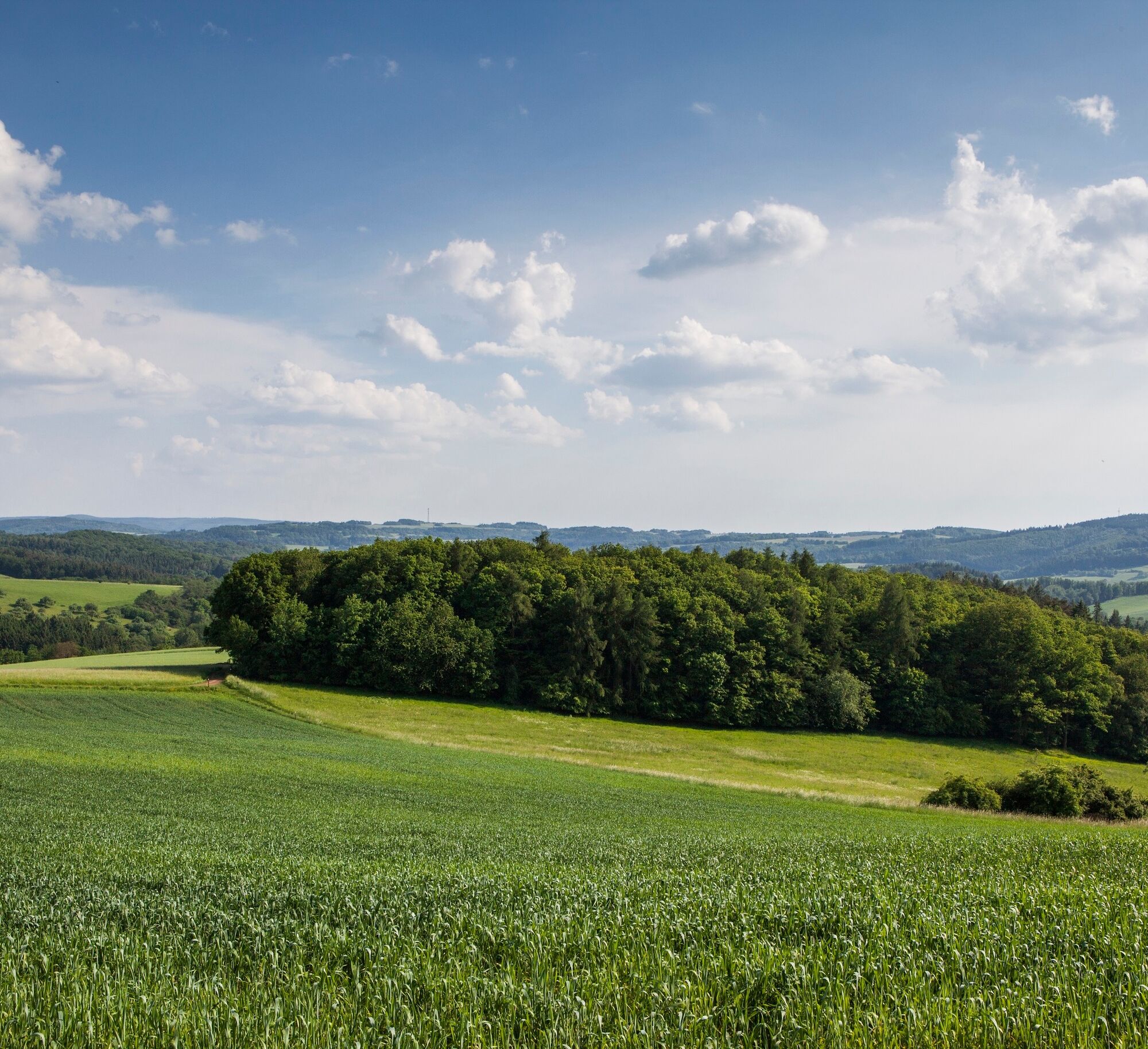
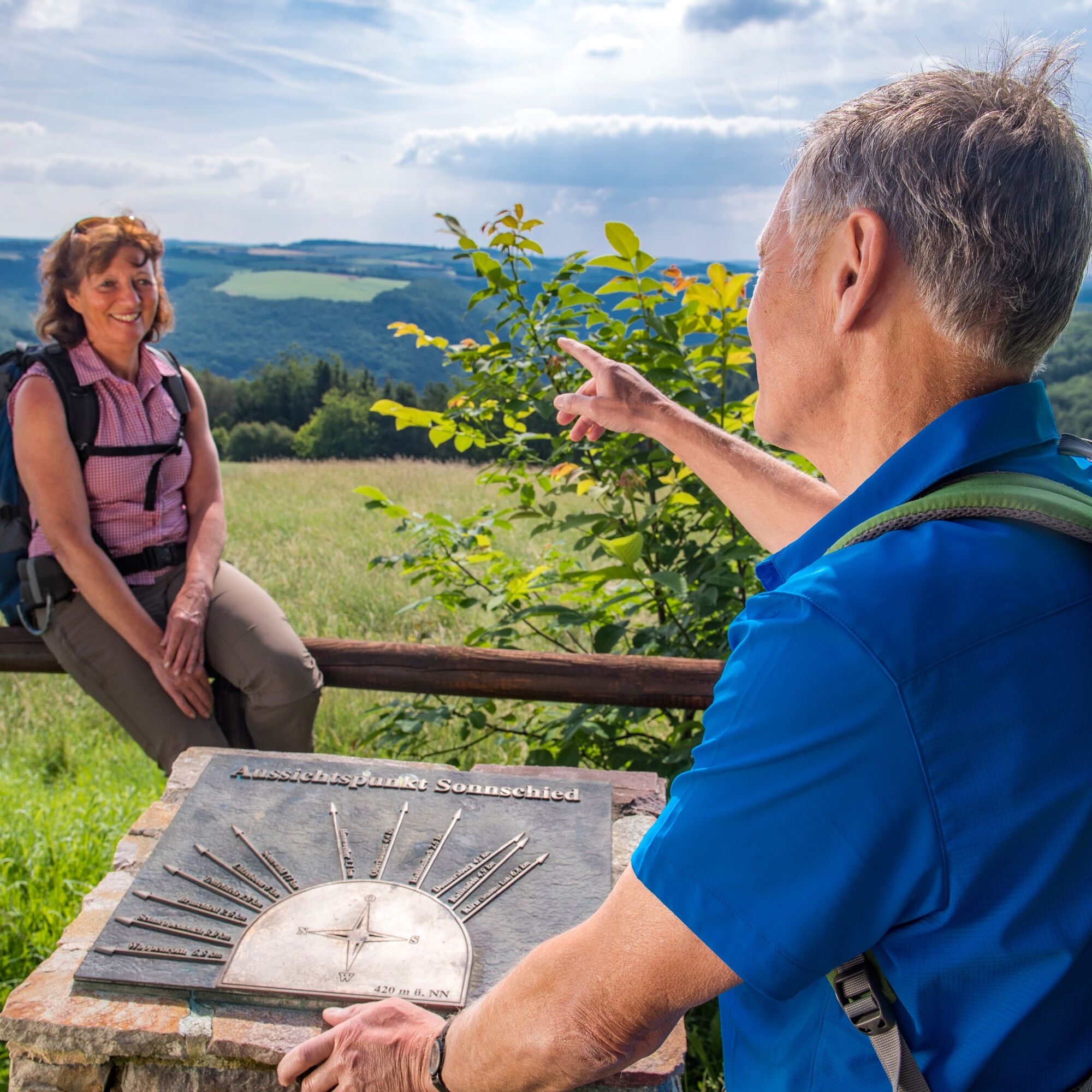
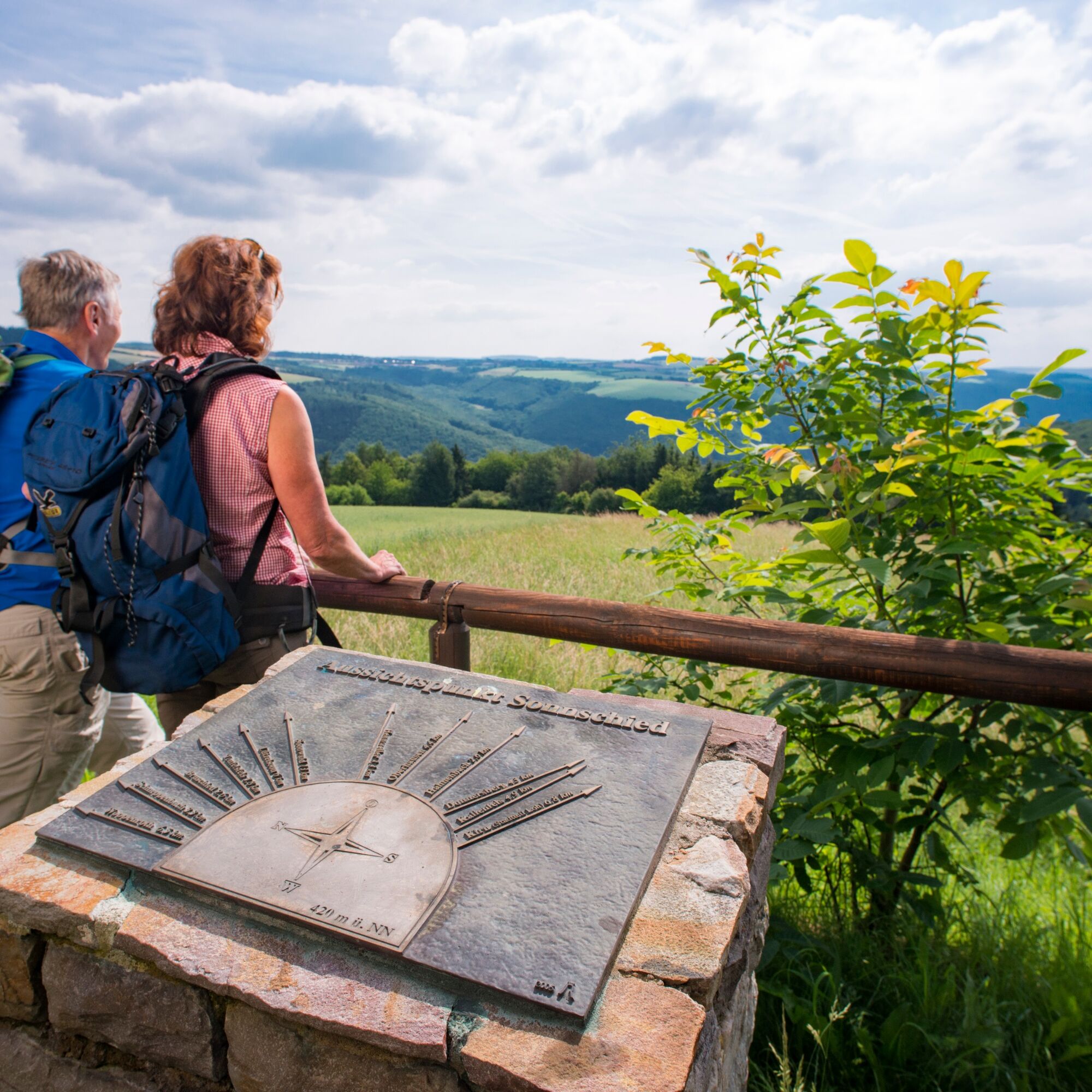

The 14th stage of the Saar-Hunsrück Climb leads from Herrstein via Sonnschied to the trout farm Reinhardtsmühle on the edge of the village of Bundenbach.
The stage starts in Herrstein. Those arriving by car can use the large parking lot in Brühlstraße.The starting point is in the historic center of Herrstein, more precisely at Herrstein Castle.
From there, the first kilometers lead through forests and over mountain ranges with magnificent views. Thereby, the stage of the Saar-Hunsrück-Steig runs parallel to the dream loop Mittelalterpfad. After crossing the Hosenbach, wide views and forest formations await us. We hike to the Rabenkanzel, a large quartzite rock on the Hosenberg. We continue in a northeasterly direction, to Sonnschied. From here, the trail continues northeast and we follow the course of the Steinbach stream until we reach the small village of Rudolfshaus. From here it is another 800 m parallel to the Hahnenbach until we reach the Forellenhof Reinhardtsmühle, the stage destination. The hotel-restaurant "Forellenhof" also awaits us there.
Tak
The Saar-Hunsrück Climb is a natural path that for 65% of its route is on soft forest floor, grass paths or alongside streams. But this special quality can result in problems after long periods of rain, making parts of the route difficult to walk. We therefore recommend wearing sturdy shoes.
The Saar-Hunsrück Climb is a near-natural trail, 65% of which is over soft forest soil, grassy paths or along streams. However, this special quality can also lead to problems after longer periods of rain and make parts of the trail difficult to walk on. Therefore, sturdy shoes are highly recommended.
A61 exit Bad Kreuznach, direction Idar-Oberstein, B41 to exit Herrstein/Fischbach, continue on L160 to Herrstein.
From Fischbach-Weierbach regional railway station to the start in Herrstein with bus route 899 (call bus).
From the stage destination Forellenhof Reinhardtsmühle back via Kirn railway station (bus route 860), then continue by regional train or express.
We recommend planning at www.rnn.info
Car park Brühlstrasse, Herrstein
Tourist Information EdelSteinLand:
Office Herrstein
Brühlstrasse 16
55756 Herrstein
Phone: + 49 (0)6785 - 79 1400
Fax: + 49 6785 - 79 8 1400
info@edelsteinland.de
www.edelsteinland.de
Office Idar-Oberstein
Main street 419
55743 Idar-Oberstein
Phone + 49 (0)6781 - 64 6040
Fax: + 49 6781 - 64 9514
info@edelsteinland.de
www.edelsteinland.de
Visit the historic center of Herrstein
Popularne wycieczki w okolicy
- 4,7
Dream Loop "Köhlerpfad am Steinbach"
ciężkiWędrówka 15,5 km - 4,3
Dream loop "Medieval Path"
średniWędrówka 8,46 km - 5,0
National Park Dream Loop "Kirschweiler Festung"
średniWędrówka 9,08 km - 4,0
Dream loop "Nahe Rock Trail"
ciężkiWędrówka 8,98 km - 5,0
Bundenbach - Forellenhof
średniWędrówka 9,95 km - 3,0
Dream Loop "Between the Forests"
średniWędrówka 10,7 km Dream Loop "Gemstone Grinder's Path"
średniWędrówka 16,0 km- 4,5
Dream loop "Around the Kama"
światłoWędrówka 6,18 km - 4,0
Dream Loop "STUMM Ironworks Route"
średniWędrówka 15,5 km Dream loop "STUMM-Orgel-Weg"
średniWędrówka 13,8 km
Wędrówki i tropienie


Nie przegap ofert i inspiracji na następne wakacje
Twój adres e-mail została dodana do listy mailingowej.


