







Dream loop "Around the Kama"
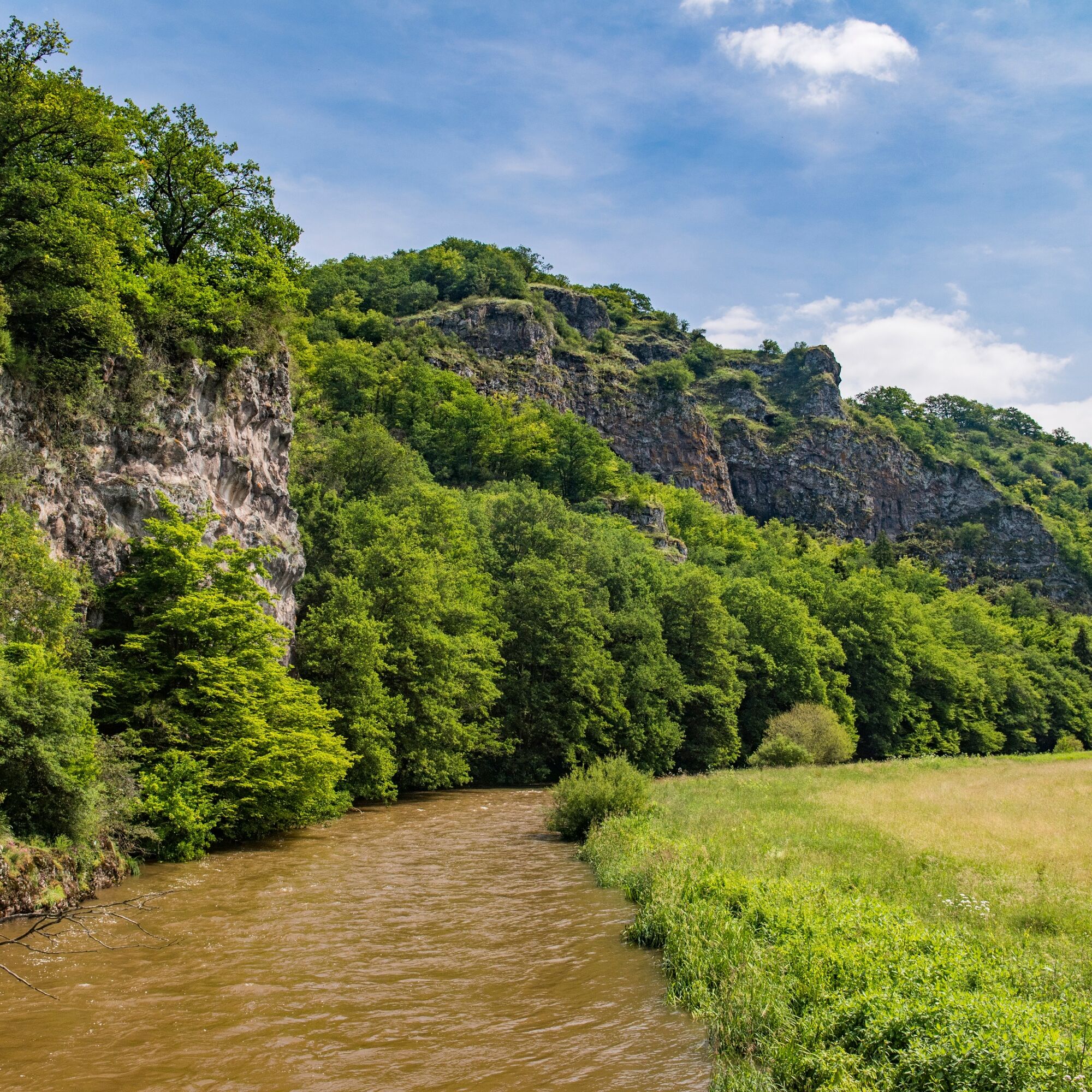
The dream loop has a varied route: sometimes along the Nahe riverbank, in the forest, and along steep rock walls. Directly on the Nahe riverbank, you reach the remains of the "Hoppstädter Achatschleife,"...
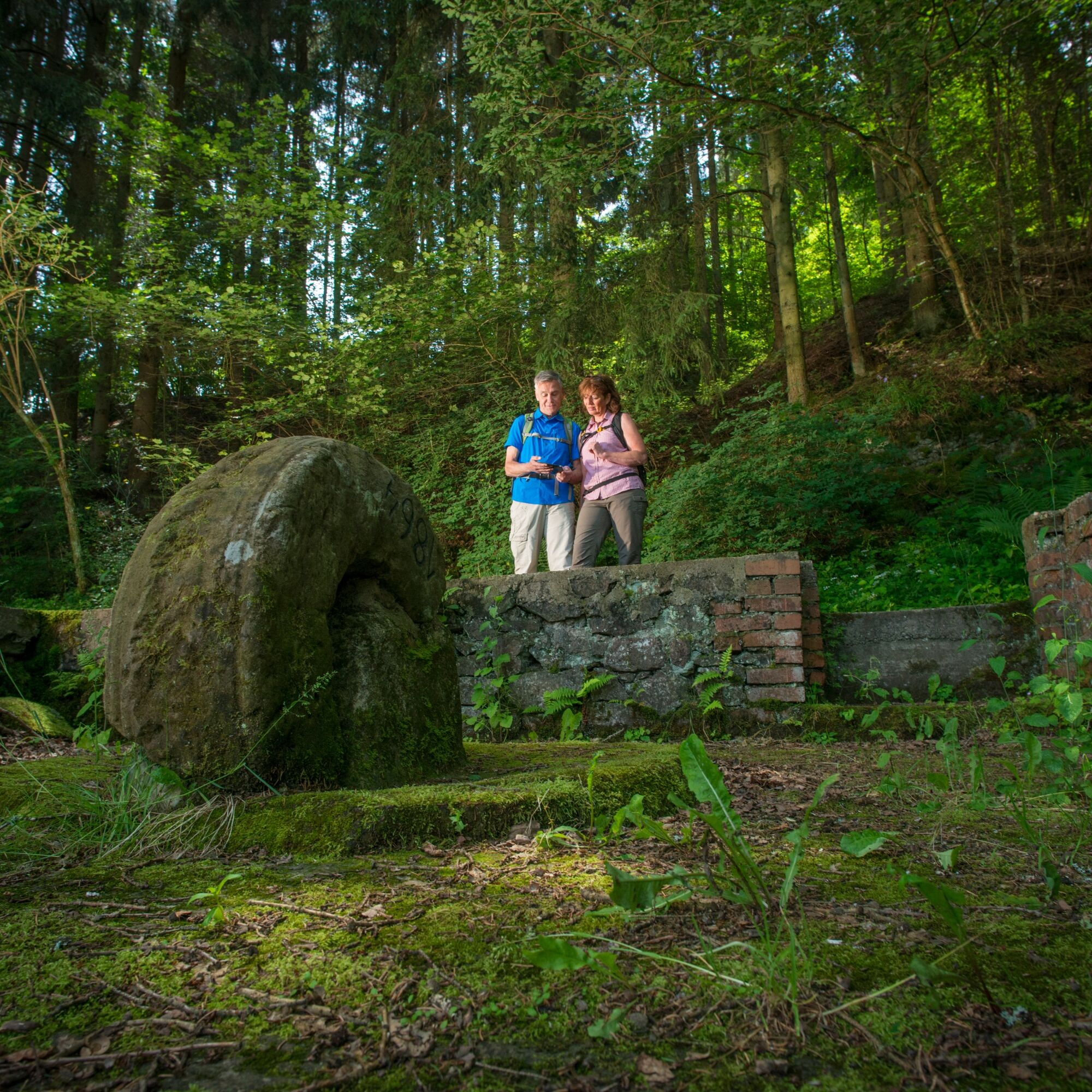
The dream loop has a varied route: sometimes along the Nahe riverbank, in the forest, and along steep rock walls. Directly on the Nahe riverbank, you reach the remains of the "Hoppstädter Achatschleife," also called Achatschleife in the Burr. Established at this site in 1850, the grinding works consisted of two houses and four grindstones. The trail continues in switchbacks through the forest uphill. There, an information board signals that you have reached the remains of the former "Villa Rustica." Numerous ceramic shards, fragments of a water pipe, slate plates indicating the house was covered with slate, iron fittings, iron keys, and fragments of wine amphorae suggest that the Villa Rustica existed between the 1st and 3rd centuries AD. After passing under the Saarbrücken-Mainz railway line, there is a magnificent view of the opposite rock face of the "Kammerwoog-Krechelsfels" nature reserve.

The approximately 6.2-kilometer-long circular route "Around the Kama" starts 100 meters from the parking lot at the Kammerhof restaurant (please use the designated parking spaces for hikers).
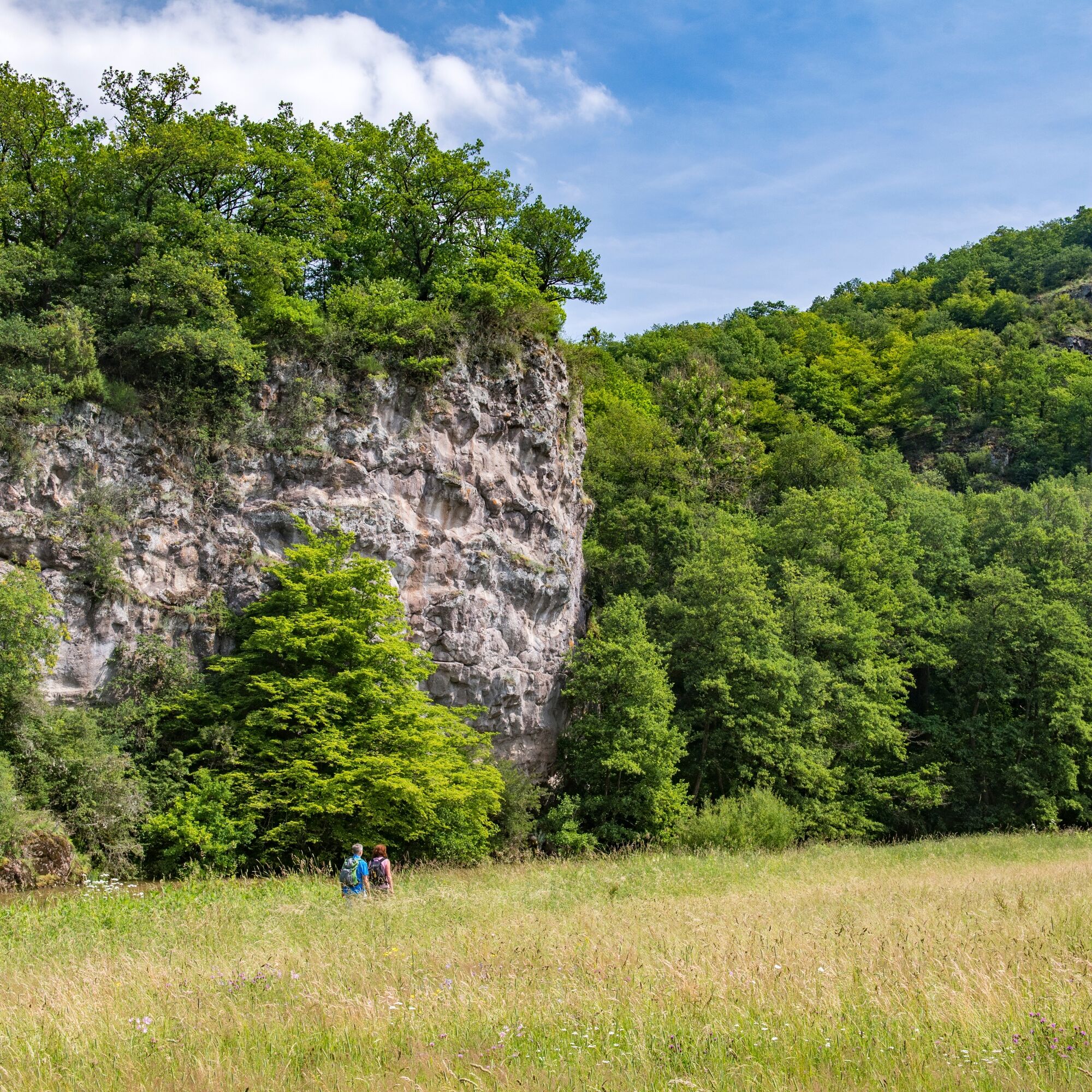
Between steep rocks and the Nahe river, we walk along the rock walls. Afterwards, we are on a forest path, with the Nahe always in sight. Directly on the Nahe riverbank, we reach the old Hoppstädter Achatschleife and a little further on the site of a former Roman villa excavation. Information boards provide details about the background of this double loop and the excavations.
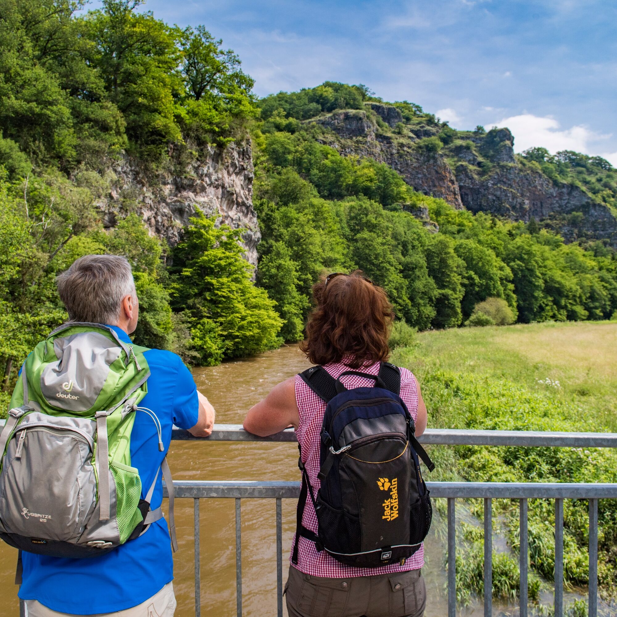
After a short climb, we are on the way to Enzweiler. Passing a shelter, then some houses, we reach the sports field and follow the path marking to the right. Above the Nahe valley, with a view of the Nahe flowing far below and Hammerstein, we continue our way. On forest and meadow ground, the path leads us back down into the Nahe valley, and we walk parallel to the Nahe. After passing under the railway line, we arrive at a sensory bench with a magnificent view of the opposite rock face of the Kammerwoog-Krechelsfels nature reserve. We cross the Nahe on the blue cycle path bridge, and those who want to enjoy more than just the view of the Krechelsfels can take a detour to the Krechelsfels (marked side path).
Otherwise, the path continues almost along the Nahe riverbank with a short uphill section again.
A shady forest path takes us to the Nahe weir. At the weir, we cross the Nahe again and arrive back at the starting point a few minutes later.
Tak
Tak
Hiking boots required!
Our tips for carefree hiking enjoyment
Hiking is the perfect sport. With the right clothing and shoes, it is twice as fun. Functional clothing, poles, and breathable backpacks are comfortable for hiking. However, good shoes are essential. Sturdy jogging or casual shoes are only suitable for short distances on flat paths. For longer routes, we recommend stable hiking boots with grippy, non-slip soles. Also think about sun protection and bring a drink. One liter of water is ideal. For longer distances, we recommend taking a lunch package as you won’t find refreshment options everywhere.
The dream loops have partly steep, difficult, and slippery sections in rainy or winter weather. Therefore, hiking boots, surefootedness, and good fitness are essential prerequisites for hiking these premium circular routes.
From the B41 into Otto-Decker-Straße, turn left into Bahnhofstraße, then at the train station turn into Mainzer Straße, and at the employment office turn left into Klotzbergstraße. Now simply follow the signs towards the Kammerhof restaurant. Please use the designated parking spaces of the dream loop on site, not the parking spaces of the Kammerhof restaurant.
From the train station, follow Bahnhofstraße to the left until the turnoff to the Weinsau footbridge. From there, continue to follow the signs of the side path to the starting point at Kammerhof (approx. 1.2 km).
Please use the DESIGNATED PARKING SPACES FOR THE DREAM LOOP "Around the Kama" IN IN DER KAMMER! Please do not use the parking spaces of the "Kammerhof" restaurant. These are private parking spaces reserved for restaurant guests.
Tak
Tourist information in EdelSteinLand:
Office Idar-Oberstein
Hauptstraße 419
55743 Idar-Oberstein
Phone +49 6781 - 64 6040
Fax +49 6781 - 64 9514
info@edelsteinland.de
www.edelsteinland.de
Office Herrstein
Brühlstraße 16
55756 Herrstein
Phone +49 6785 - 79 1400
Fax +49 6785 - 798 1400
info@edelsteinland.de
www.edelsteinland.de
Plan time for visiting the sights in Idar-Oberstein.
 Uzyskaj wgląd
Zawsze na żywo z ponad 9 500 kamer internetowych. bergfex Jako użytkownik Pro, możesz teraz zobaczyć odpowiednie kamery internetowe dla wielu wycieczek w aplikacji wycieczki od. Pozwala to na bezpośredni podgląd aktualnych warunków.
Uzyskaj wgląd
Zawsze na żywo z ponad 9 500 kamer internetowych. bergfex Jako użytkownik Pro, możesz teraz zobaczyć odpowiednie kamery internetowe dla wielu wycieczek w aplikacji wycieczki od. Pozwala to na bezpośredni podgląd aktualnych warunków.
Popularne wycieczki w okolicy
-
4,7
Dream Loop "Köhlerpfad am Steinbach"
średniWędrówka 13,4 km -
4,3
Dream loop "Medieval Path"
średniWędrówka 8,46 km -
5,0
National Park Dream Loop "Kirschweiler Festung"
średniWędrówka 9,08 km -
4,0
Dream loop "Nahe Rock Trail"
ciężkiWędrówka 8,98 km -
3,0
Dream Loop "Between the Forests"
średniWędrówka 10,7 km -
Dream Loop "Gemstone Grinder's Path"
średniWędrówka 16,0 km -
4,0
Dream Loop "STUMM Ironworks Route"
średniWędrówka 15,5 km -
5,0
Traumschleife Nohener Nahe-Schleife
średniWędrówka 12,3 km -
Mackenrodt forest art circular route
średniTrasa tematyczna 6,12 km -
5,0
Traumschleife Bärenbachpfad (Dream Loop Bear Creek Trail Baumholder)
średniWędrówka 15,2 km
Wędrówki i tropienie


Nie przegap ofert i inspiracji na następne wakacje
Twój adres e-mail została dodana do listy mailingowej.





