







Welterbesteig Oberes Mittelrheintal trail section 3 Niederheimbach - Bacharach

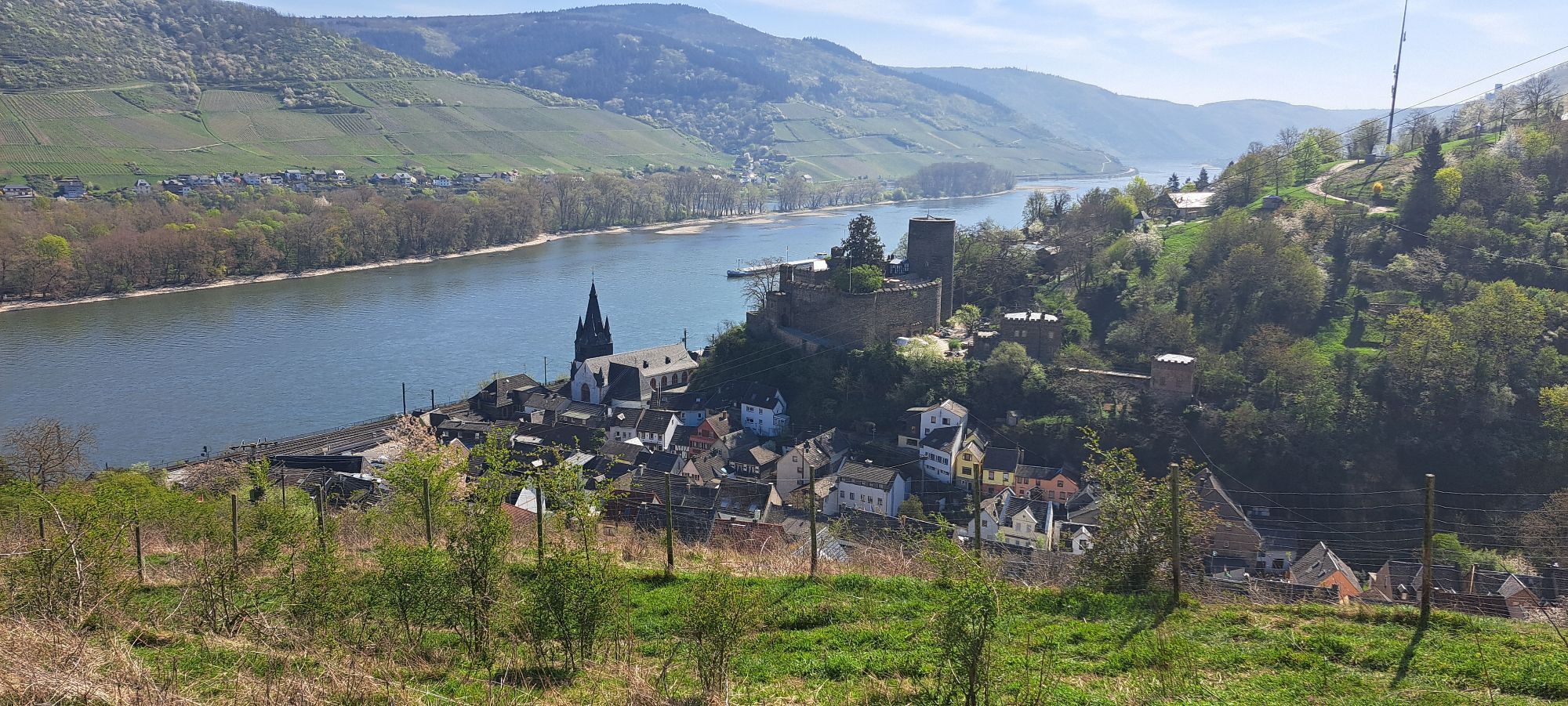
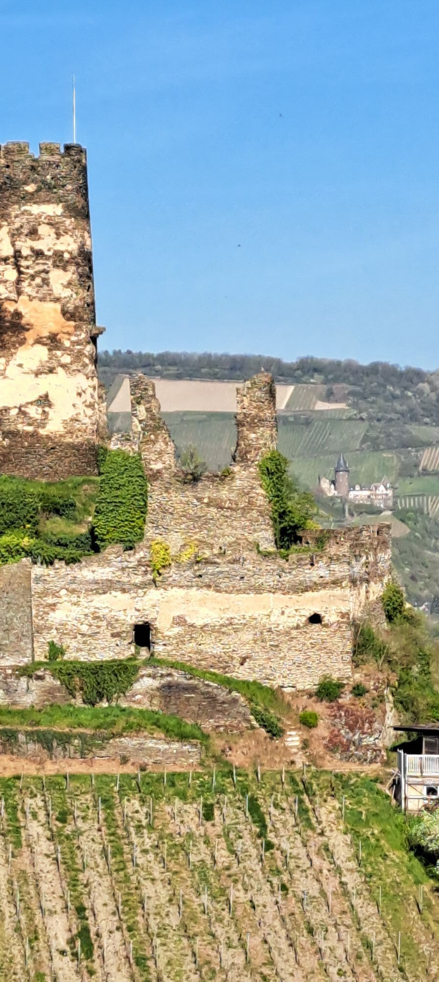
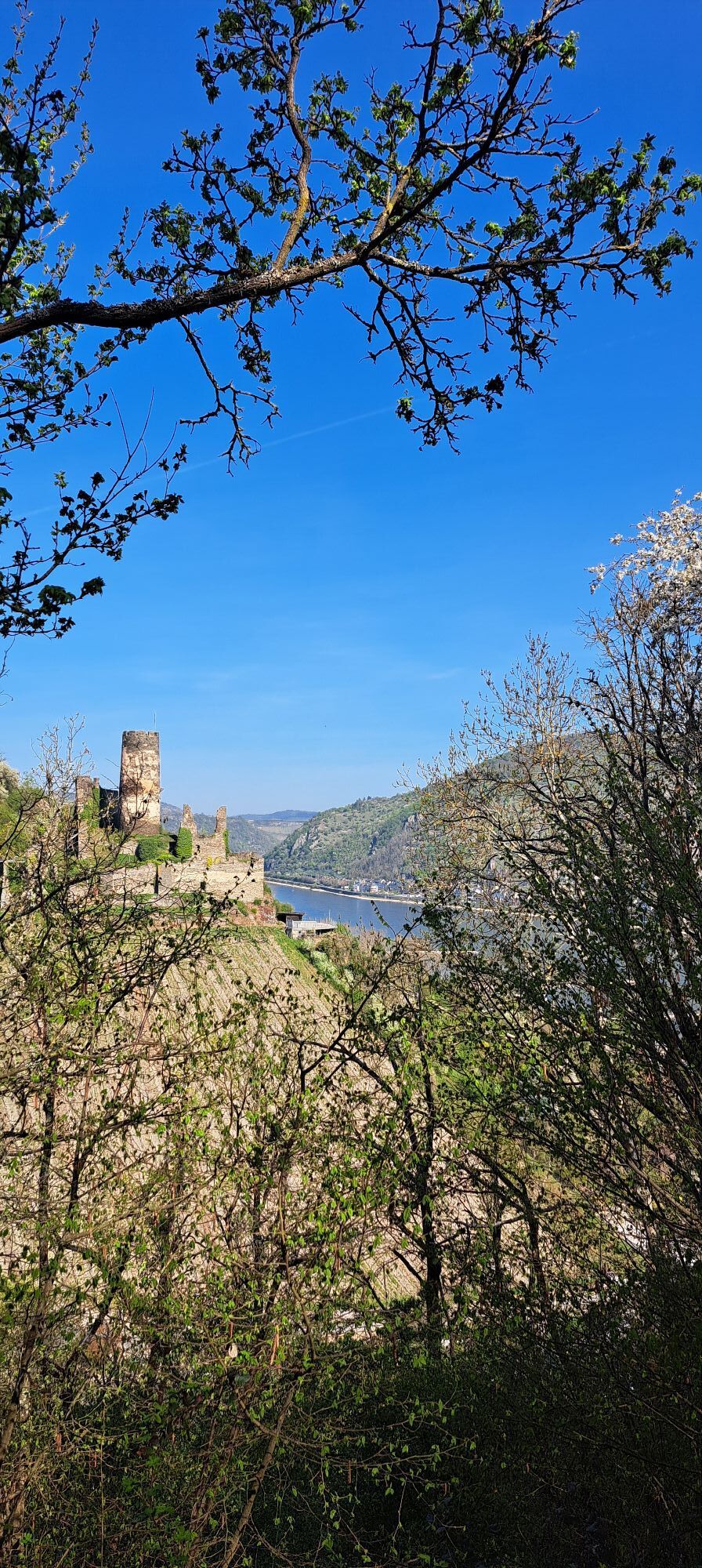
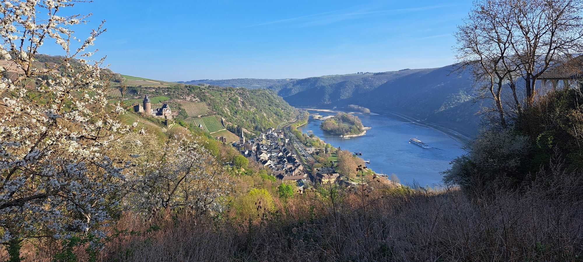
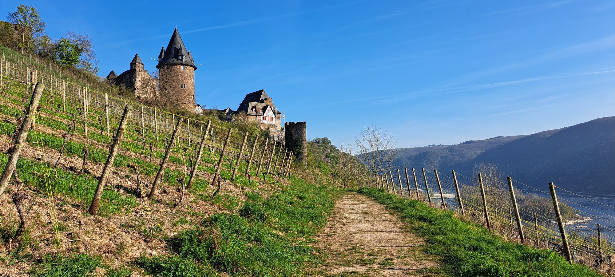
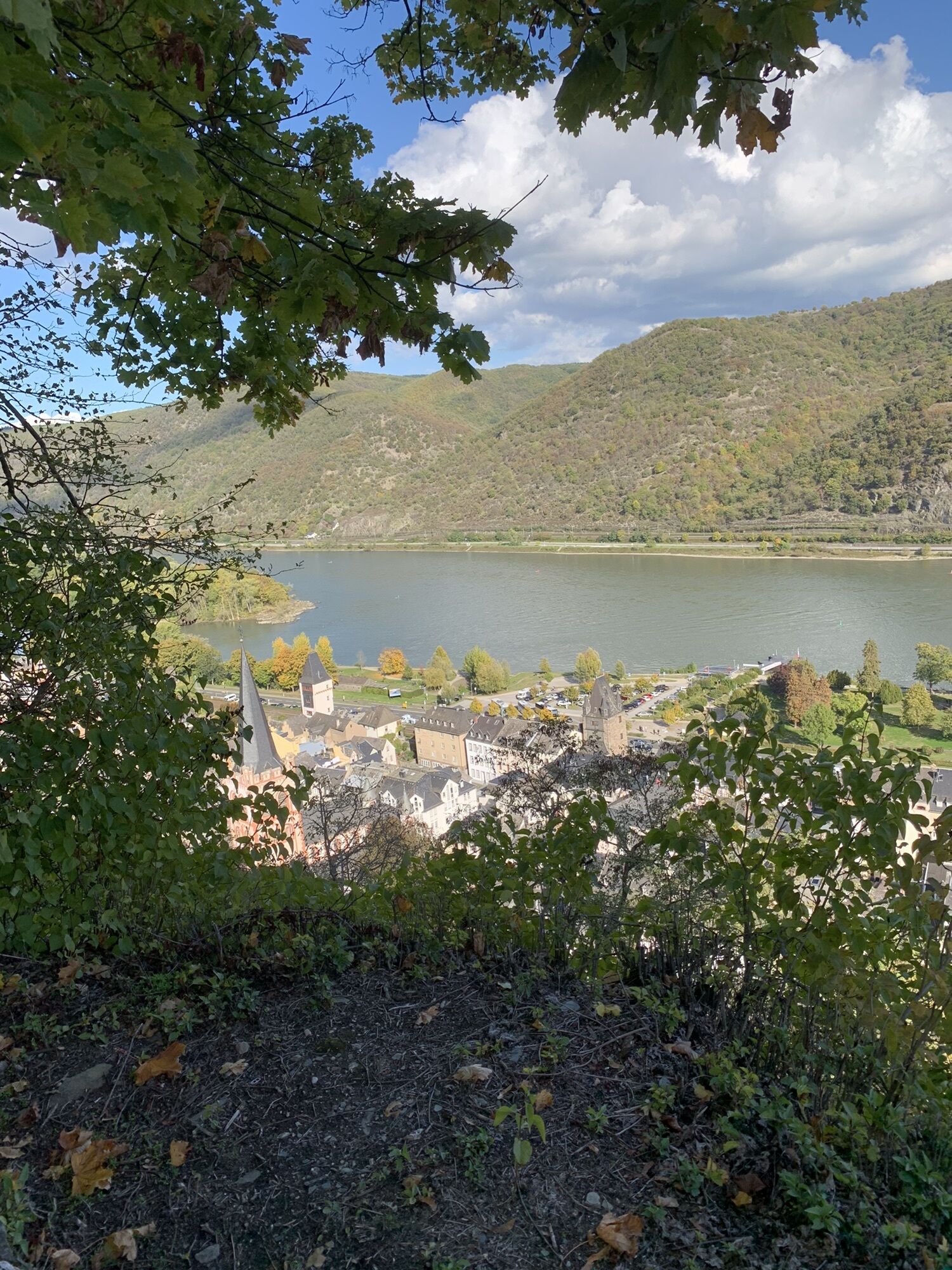
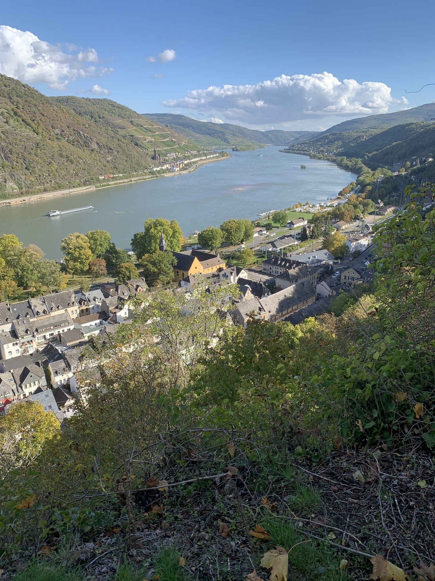
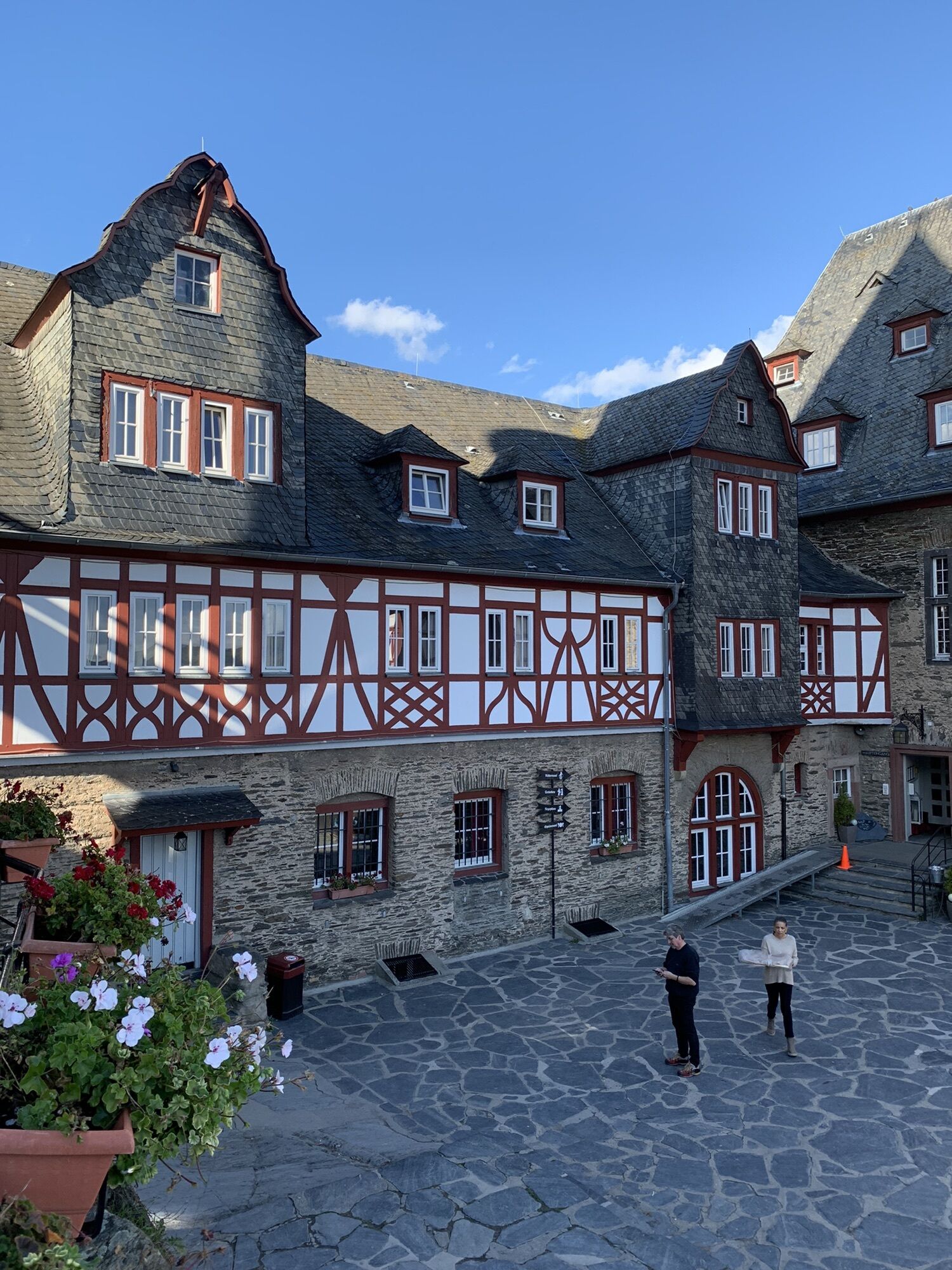
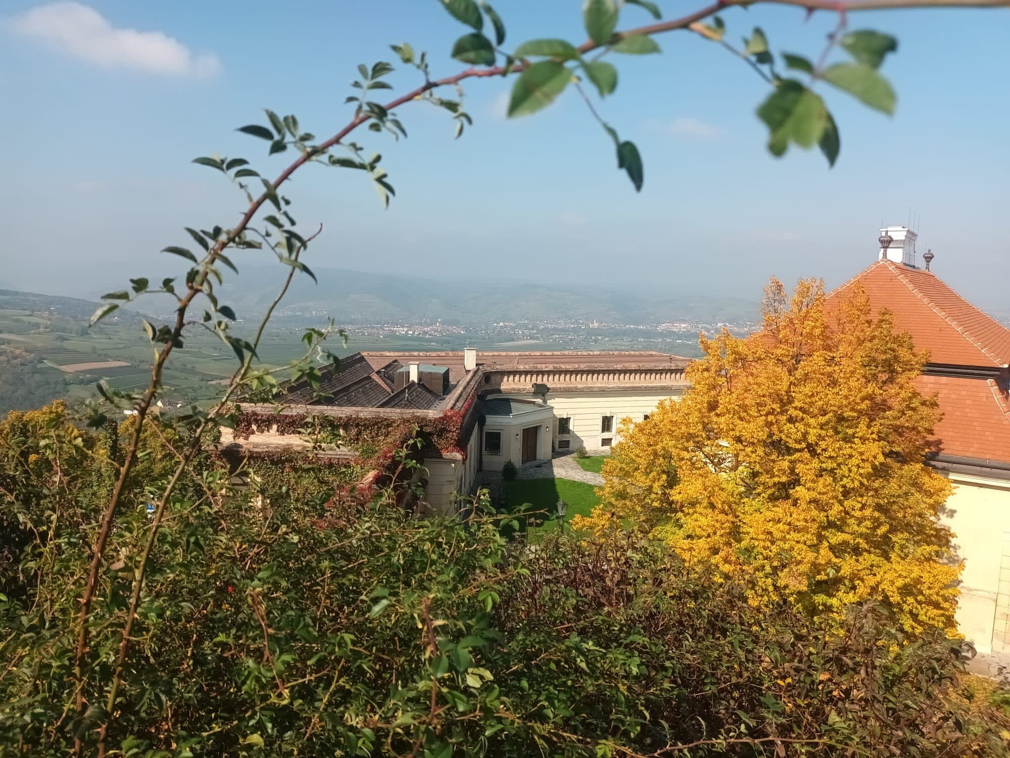
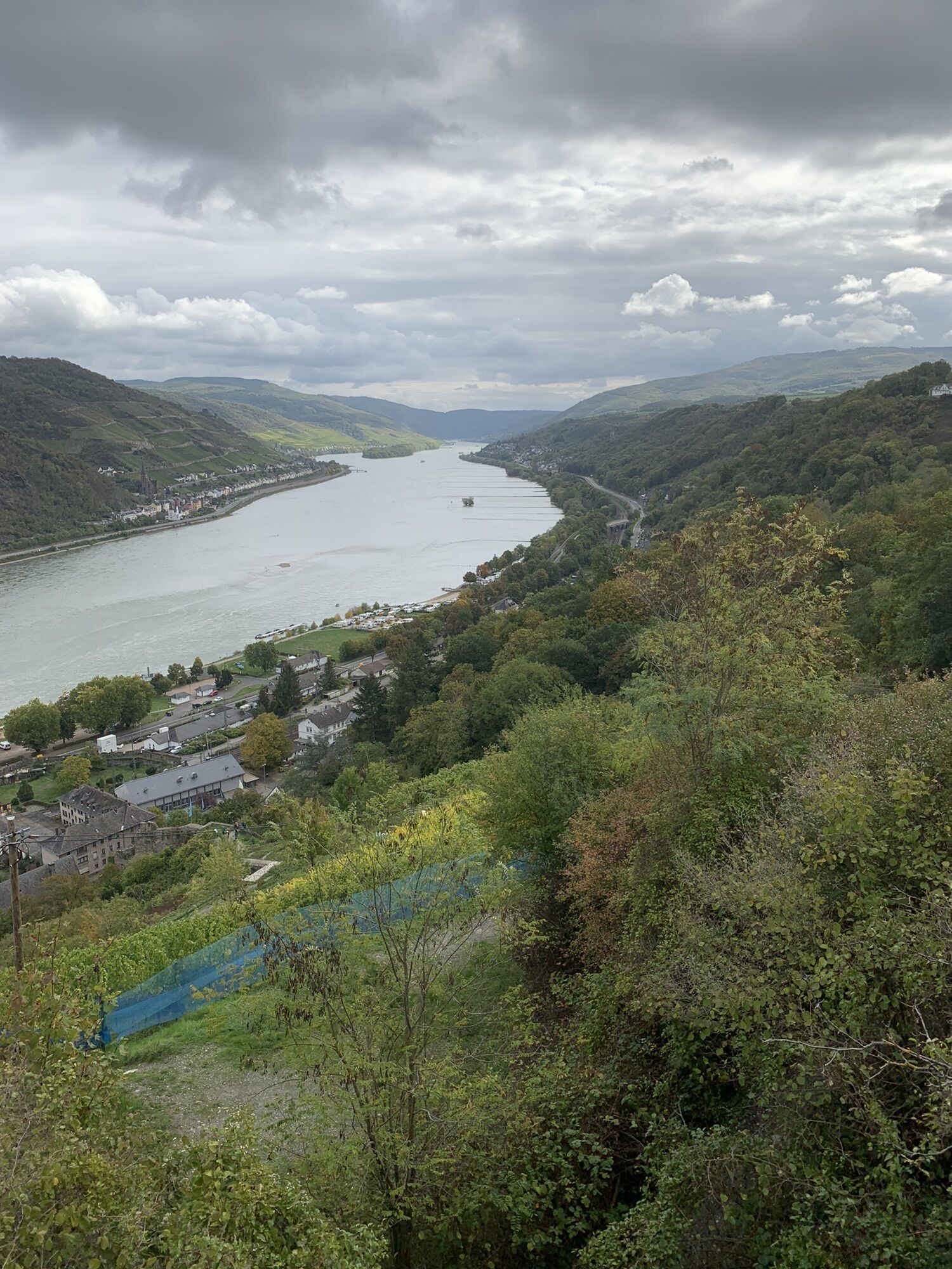
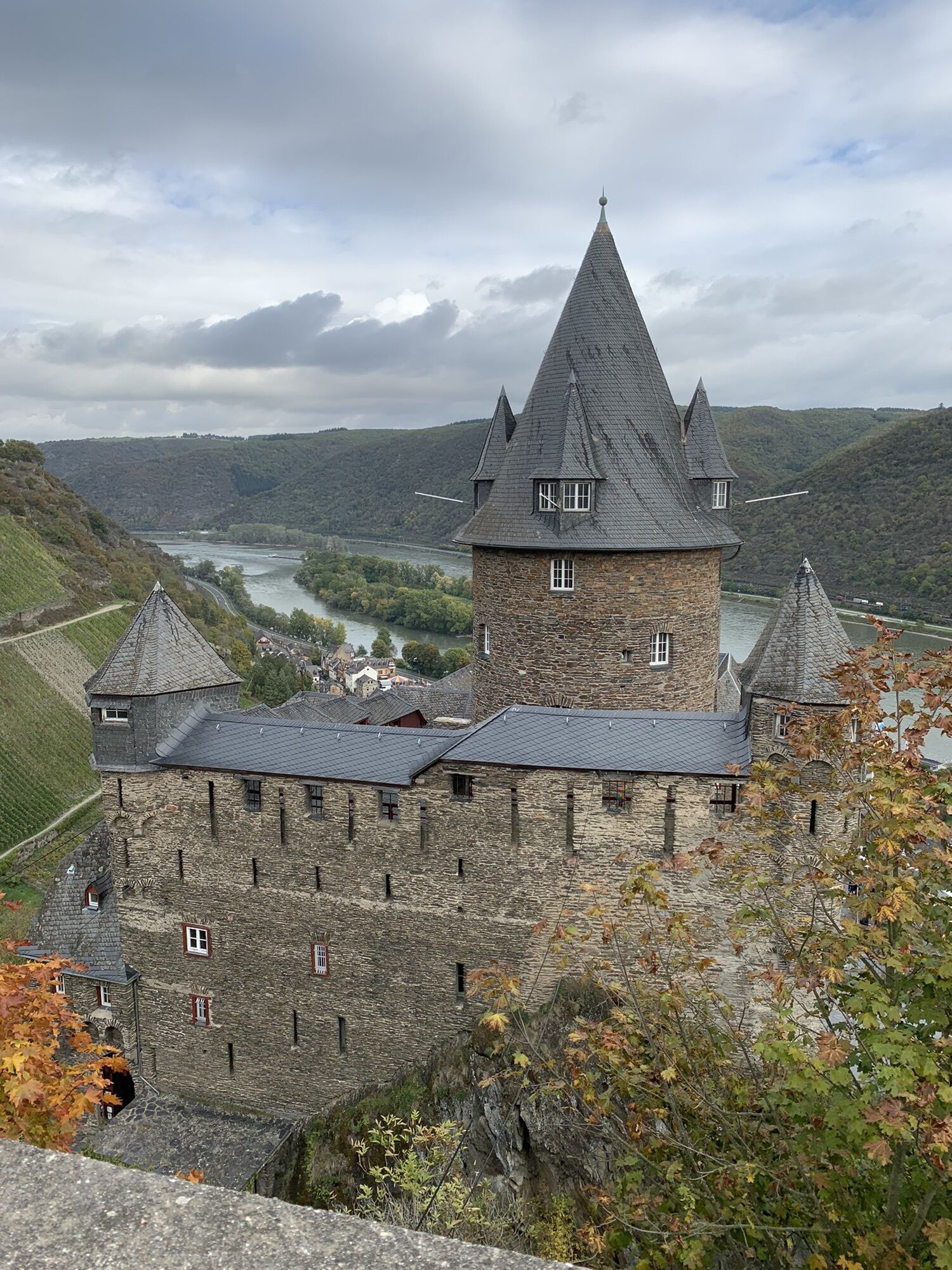
The 12 km long stage to Bacharach starts in a truly picturesque alley below Heimburg Castle, before the path leads through the vineyard to the Rhine slope. From here, there are plenty of views to Bacharach:...
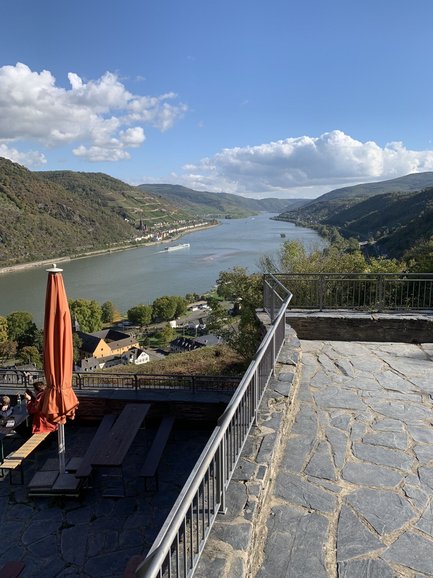
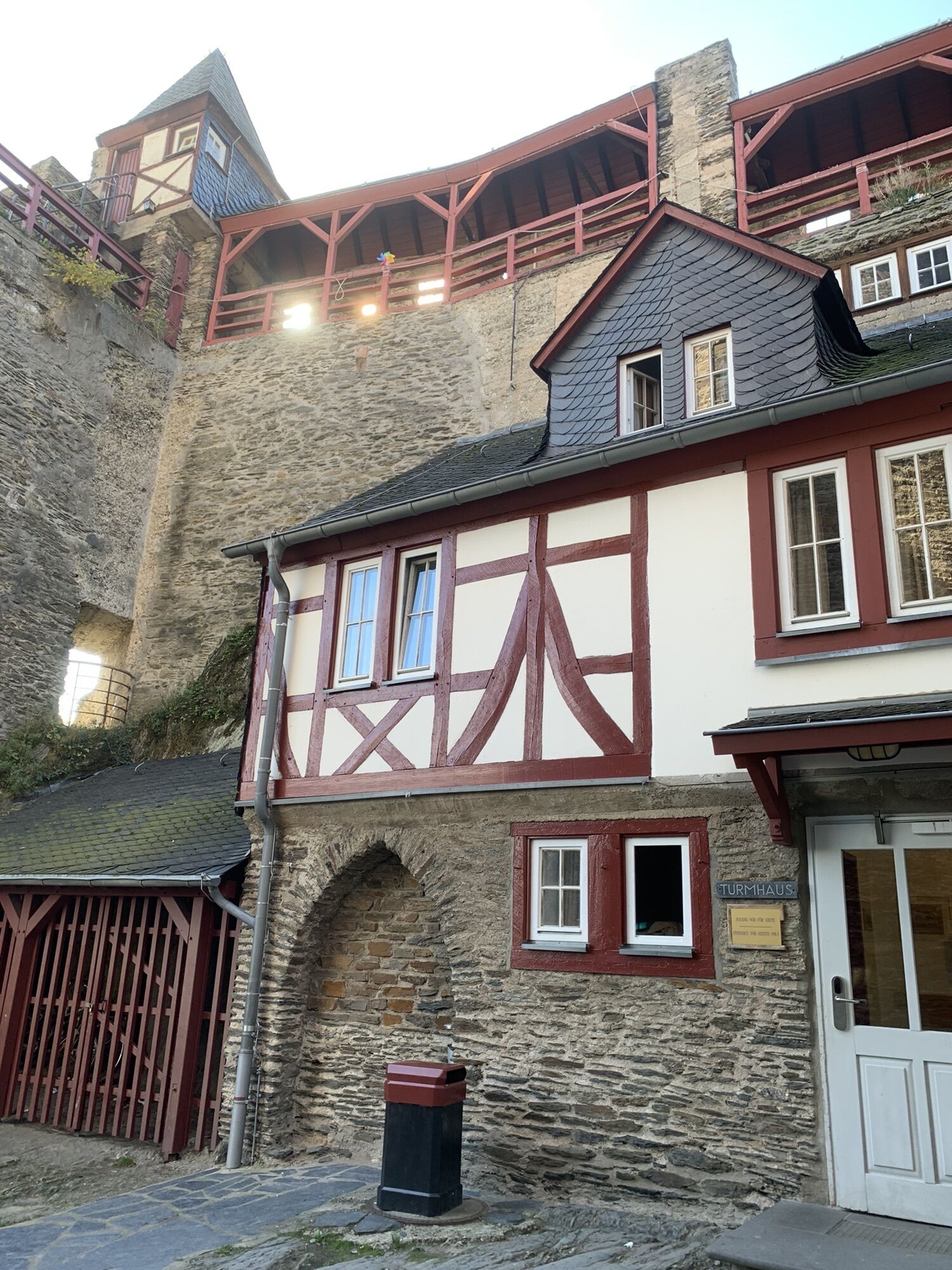
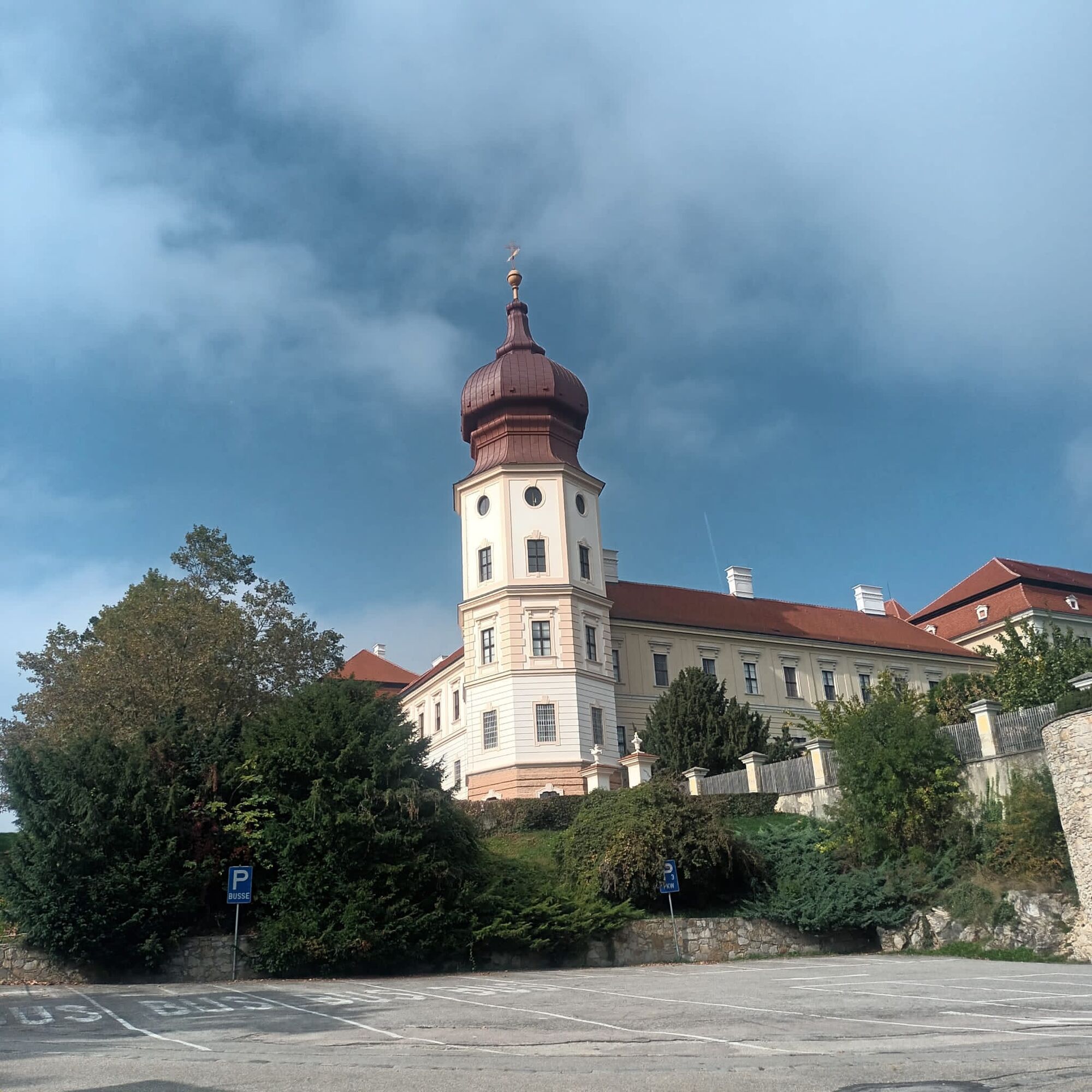
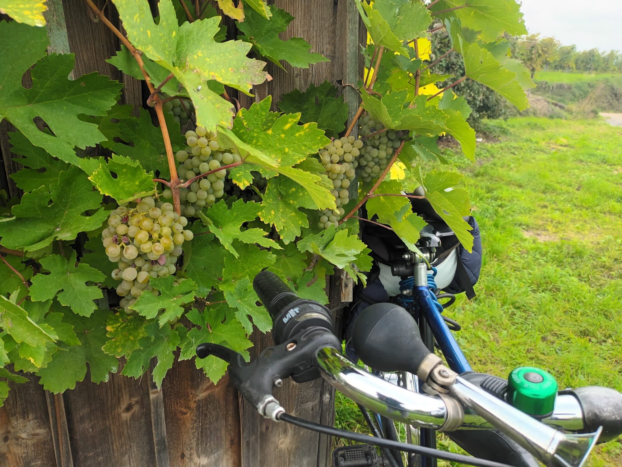
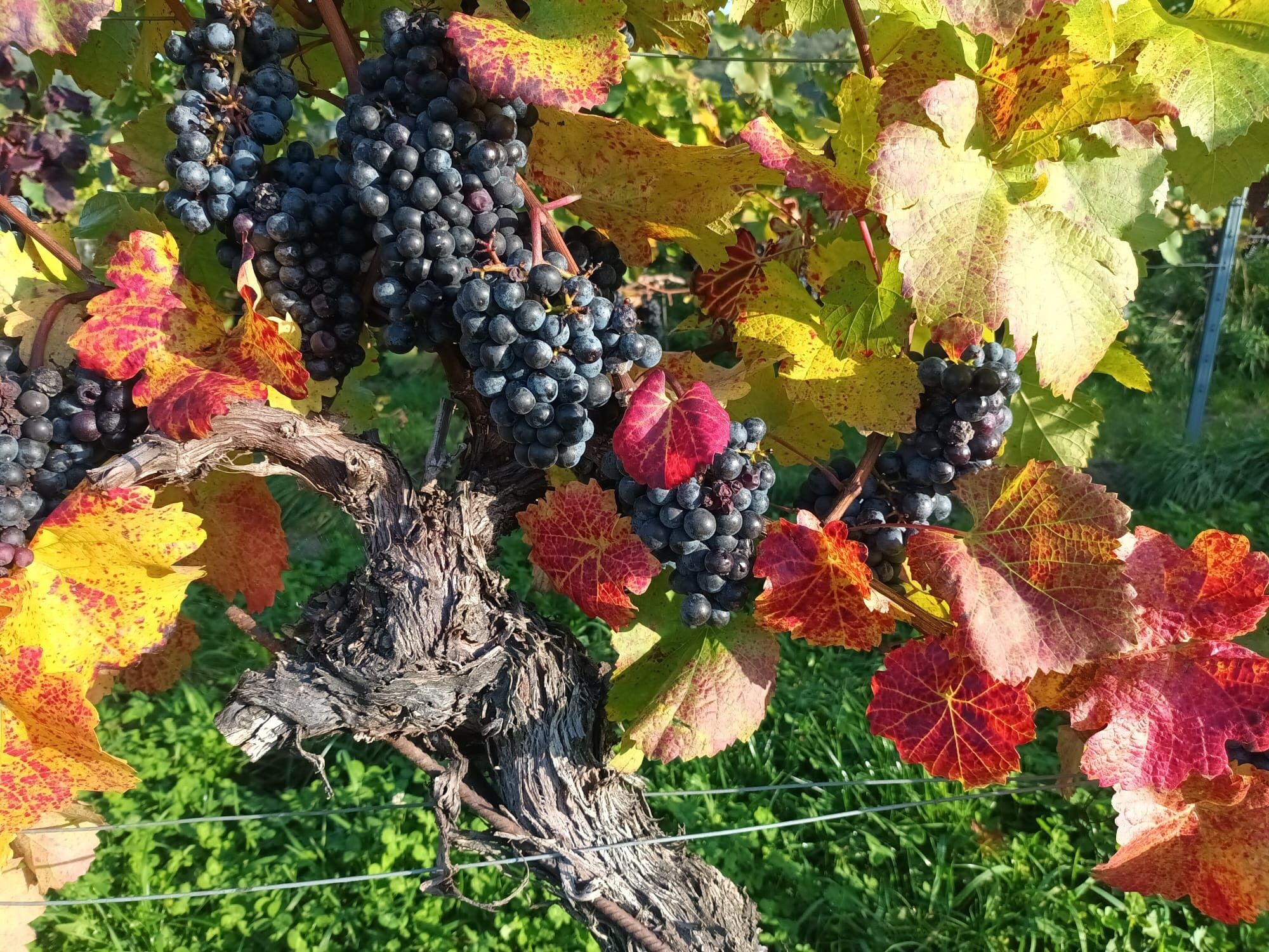
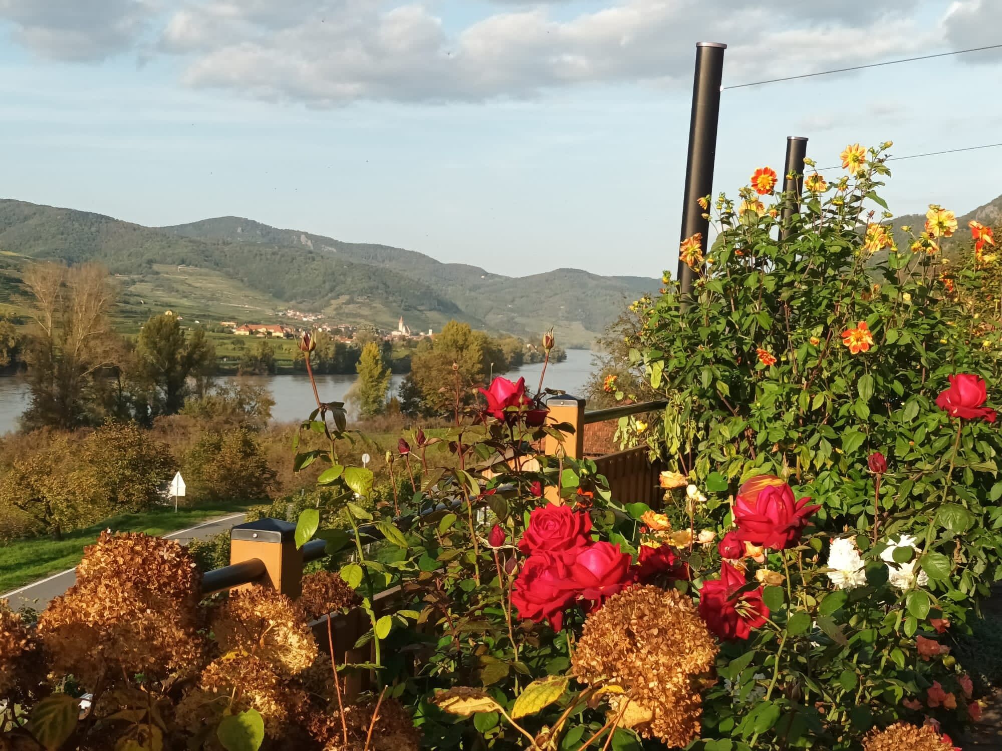
The 12 km long stage to Bacharach starts in a truly picturesque alley below Heimburg Castle, before the path leads through the vineyard to the Rhine slope. From here, there are plenty of views to Bacharach: first of Lorch with the Hilchenhaus and the Nollig ruins. The path is mainly shady until Oberdiebach, where the trail crosses Rheingoldstraße and leads through the vineyard to Fürstenberg Castle. Here you can take another break with a view, not least because the trail then "climbs" briefly and crisply.Visible from afar: Bacharach with Stahleck Castle, the ruins of Werner Chapel and the post office tower in the vineyards. In Medenscheid, the rose village, you are already entering town territory.Around 650 different types of roses thrive here in public squares and numerous private gardens. At the vending machine near the lookout point, thirsty hikers can enjoy chilled wine from regional vintners or water. A little later, the end of the stage is reached in Bacharach. If you don't have to go straight to the station, you should take the short diversions via the castle and chapel and take in the cityscape with its narrow streets and half-timbered houses.

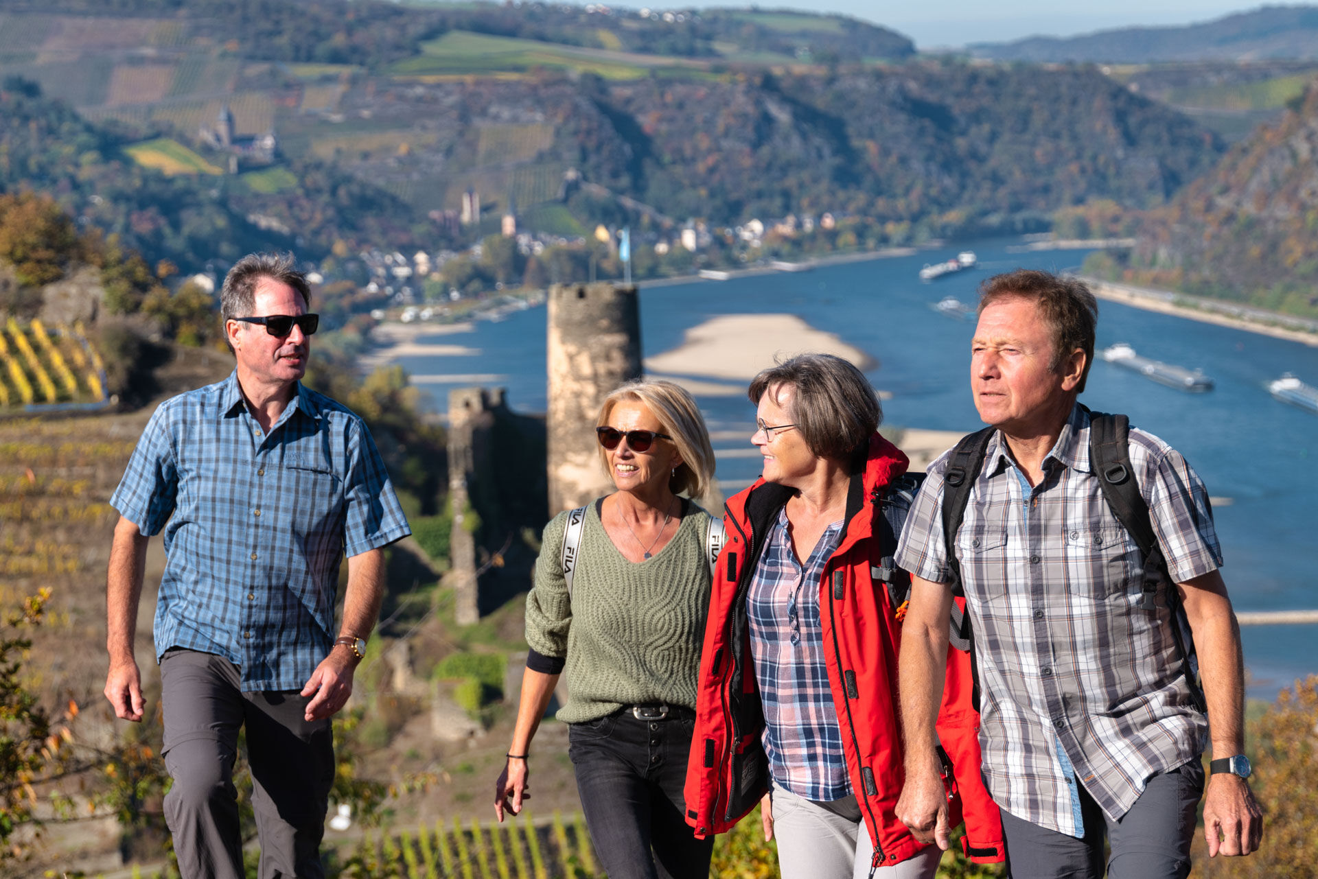
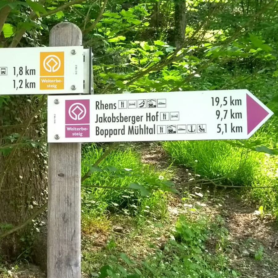

The 12 km long stage to Bacharach starts in a truly picturesque alley below Heimburg Castle, before the path leads through the vineyard to the Rhine slope. From here, there are plenty of views to Bacharach: first of Lorch with the Hilchenhaus and the Nollig ruins. The path is mainly shady until Oberdiebach, where the trail crosses Rheingoldstraße and leads through the vineyard to Fürstenberg Castle. Here you can take another break with a view, not least because the trail then "climbs" briefly and crisply.Visible from afar: Bacharach with Stahleck Castle, the ruins of Werner Chapel and the post office tower in the vineyards. In Medenscheid, the rose village, you are already entering town territory.Around 650 different types of roses thrive here in public squares and numerous private gardens. At the vending machine near the lookout point, thirsty hikers can enjoy chilled wine from regional vintners or water. A little later, the end of the stage is reached in Bacharach. If you don't have to go straight to the station, you should take the short diversions via the castle and chapel and take in the cityscape with its narrow streets and half-timbered houses.
Tak
Good shoes and sufficient drinks are obligatory.
Autobahn:Bingen: A 60 exit Bingen-Ost
Bacharach: A 61 exit Rheinböllen
St. Goar: A 61 exit Emmelshausen
Oberwesel: A 61 exit Laudert
Hirzenach: A 61 exit Emmelshausen
Boppard: A 61 exit Boppard-Buchholz
Rhens: A 61 exit Paffenheck
Koblenz: A 61, A 48
For your orientation, here are the journey times between the individual stations by regional train:
Bingen HbF - Techtingshausen: 4 min.
Trechtingshausen - Niederheimbach: 4 min.
Niederheimbach - Bacharach: 3 min.
Bacharach - Oberwesel: 4 min.
Oberwesel - St. Goar: 6 min.
St. Goar - Hirzenach: 4 min.
Hirzenach - Bad Salzig: 3 min.
Bad Salzig - Boppard: 4 min.
Boppard HbF - Spay: 5 min.
Spay - Rhens: 3 min.
Rhens - Koblenz HbF: 7 min.
Bingen HbF - Koblenz HbF: 48 min.
Bacharach: On the B9 Rhine bank
Oberwesel: B9 town wall and Rhine bank
St. Goar: On the B9 Rhine bank
Hirzenach: Rheinstraße
Boppard: Marienberg parking deck, Remigiusplatz Mühltal
Wanderführer Welterbesteig Oberes Mittelrheintal von Ulrike Poller/Wolfgang Todt
The ferry connection to Lorch makes getting to Niederheimbach easy, even from the right bank of the Rhine.There is a rest stop with a wine/drinks machine at the lookout point in Medenscheid - remember to bring change!If you are still fit enough: city wall tour in Bacharach

Popularne wycieczki w okolicy
-
4,8
Traumschleife Mittelrhein
ciężkiWędrówka 14,7 km -
4,6
Panorama Trail St. Goar
średniWędrówka 8,47 km -
5,0
Kaub - Burg Herzogenstein - Spitznack - Hasenberg
ciężkidługodystansowy szlak pieszy 22,1 km -
4,5
Durch den Kammerforst zum Teufelskadrich
światłoWędrówka 12,3 km -
4,3
Dream loop Werlauer Pilz
światłoWędrówka 5,60 km -
5,0
Traumschleifchen Pfalzblick
światłoWędrówka 5,68 km -
4,8
Rund ums Niederwald Denkmahl
światłoWędrówka 7,48 km -
5,0
Kaub - Bacharach - Clemenskapelle - Pfarrkirche St. Martin
średnidługodystansowy szlak pieszy 13,8 km -
Traumschleife Schwede-Bure
średniWędrówka 11,9 km -
5,0
Traumschleifchen cuckoo snack
średniWędrówka 6,79 km
Wędrówki i tropienie


Nie przegap ofert i inspiracji na następne wakacje
Twój adres e-mail została dodana do listy mailingowej.





