







Tour 3 refuges - stage 4
Poziom trudności: T3
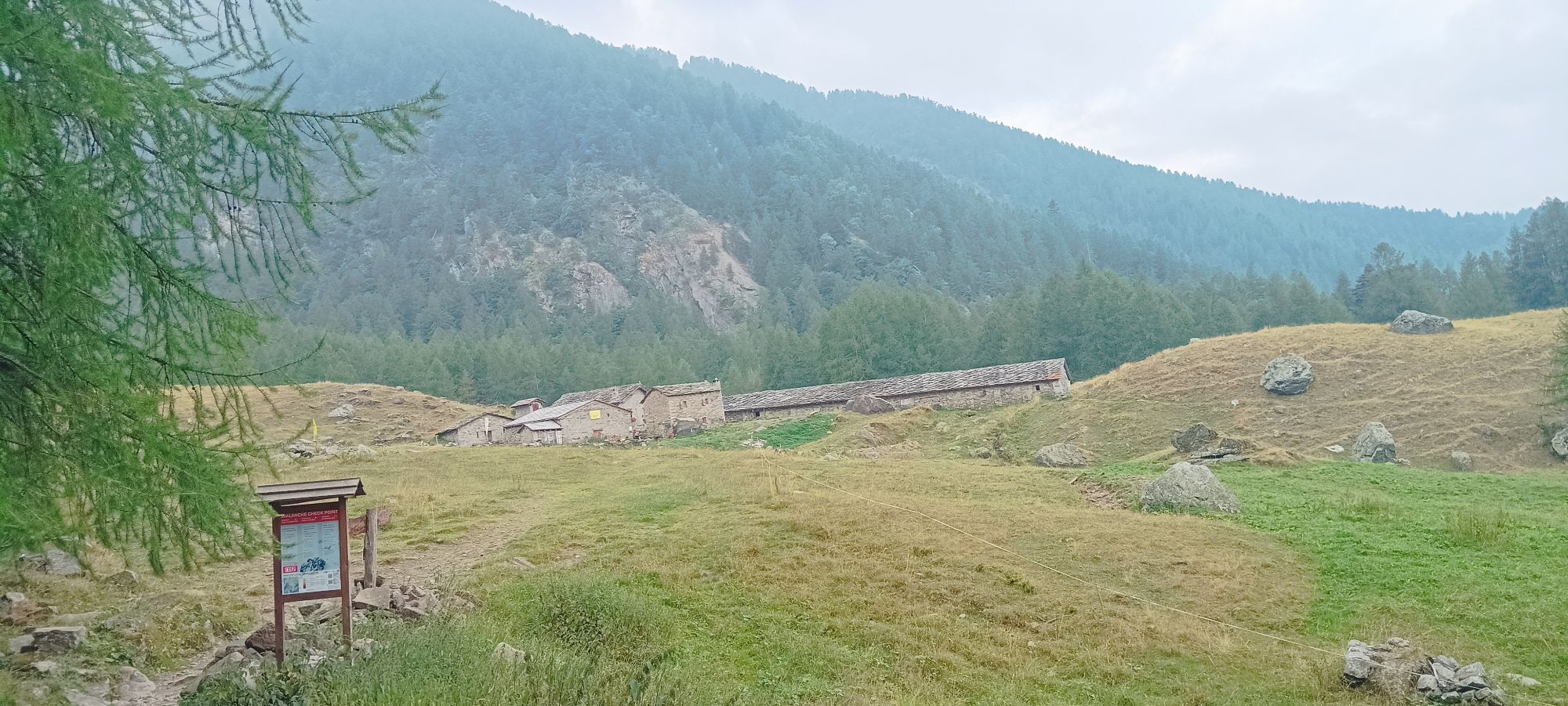
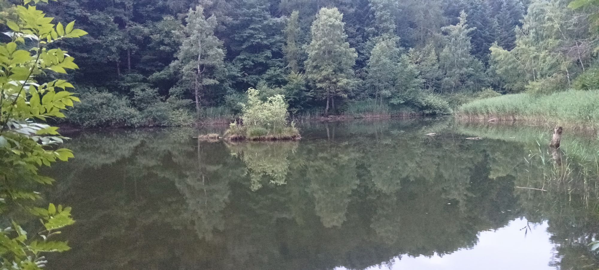
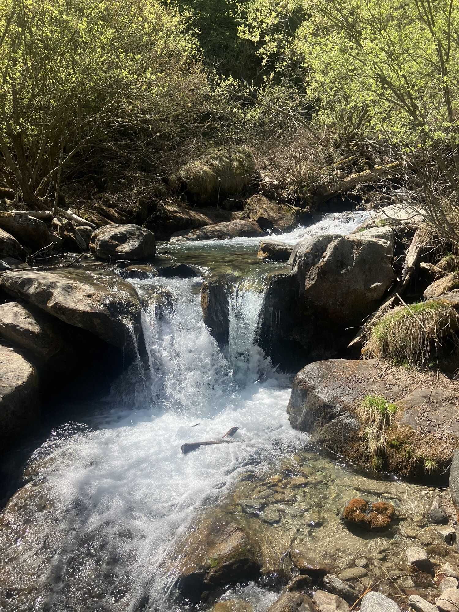
From Cortavetto, follow the signs for Travers a Mont and take the Sentiero dei Franchi trail (trail no. 512). Walk gently uphill and downhill through dense chestnut and beech woods until you reach the...
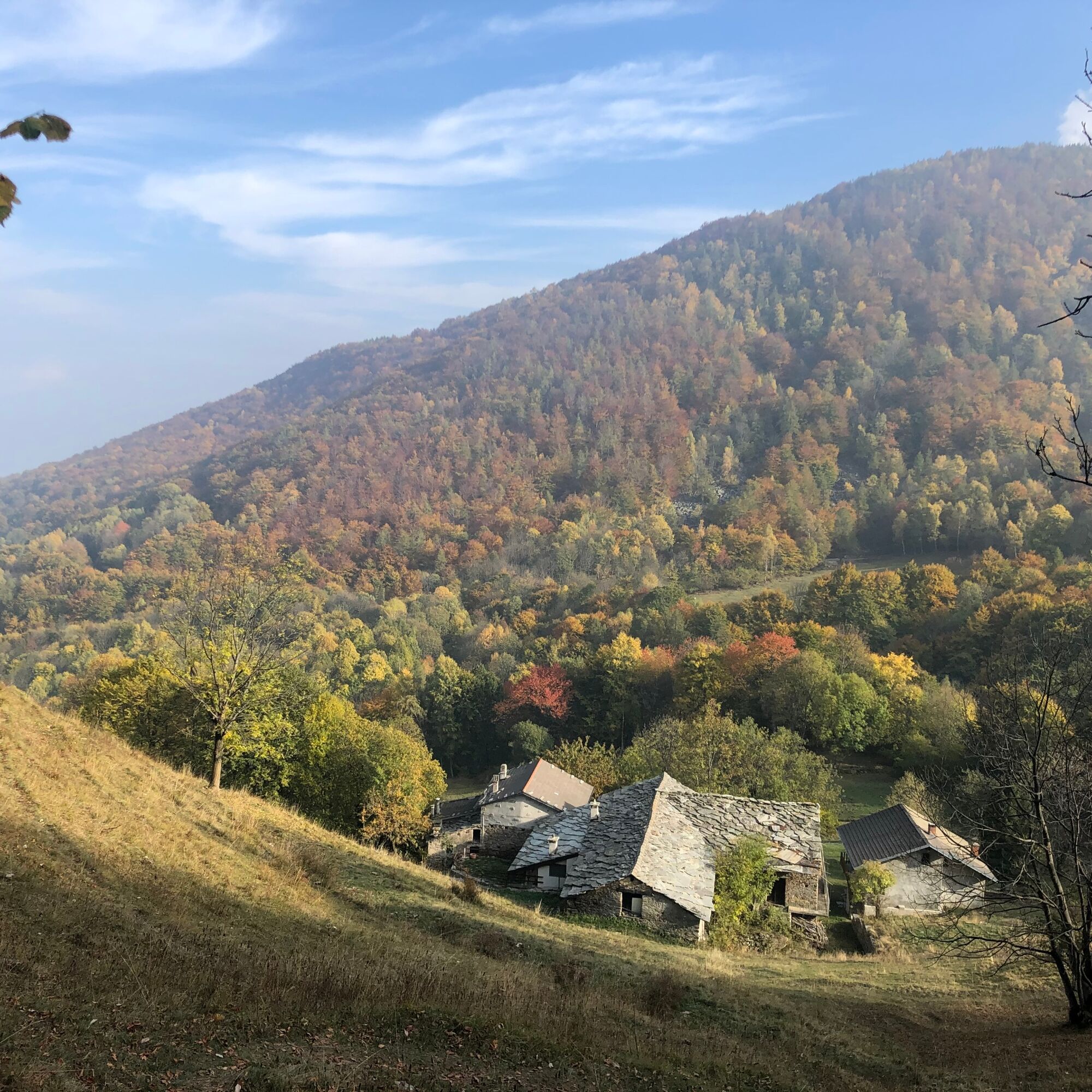
Continue climbing and at the fork take trail 517 to Colle Aciano. The climb is steep and challenging until you reach the hill. From the hill, descend steeply towards Alpe Balmetta, then follow trail 510 to reach the Amprimo mountain hut and, finally, Paradiso delle Rane, returning to Cortavetto.

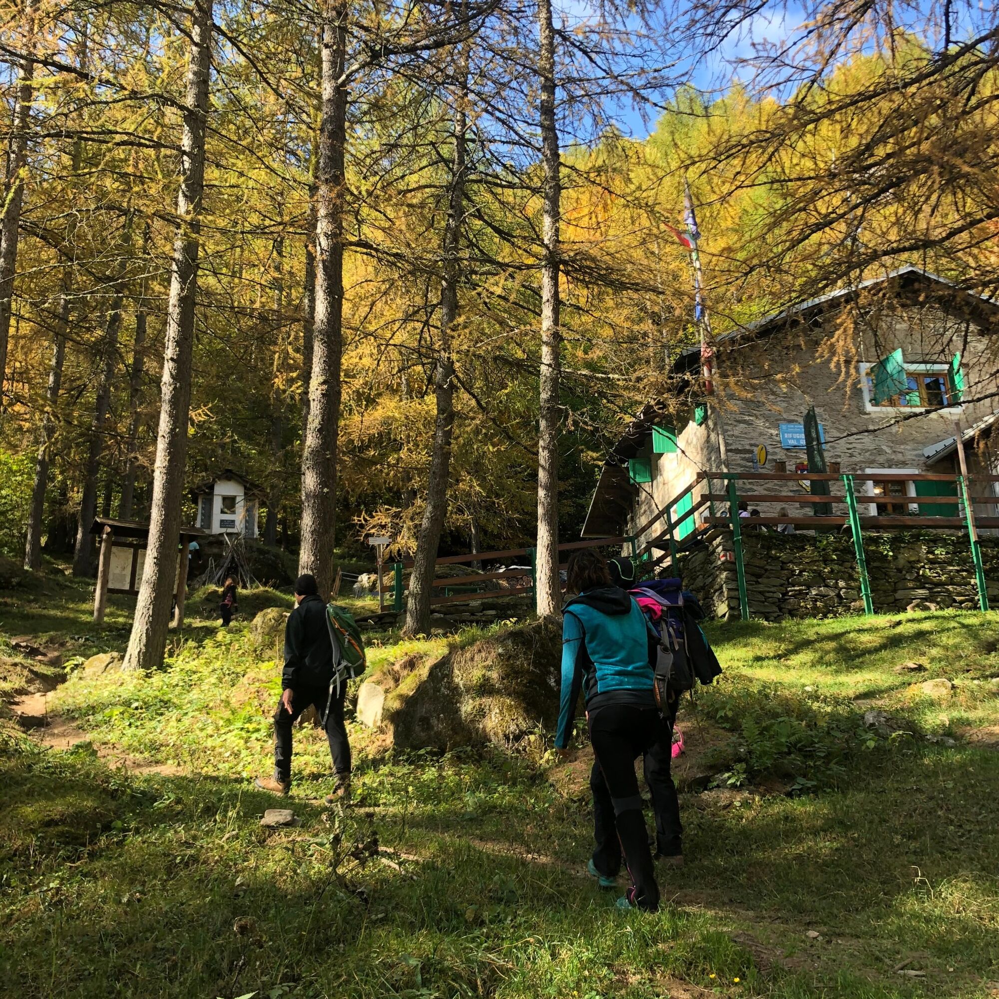
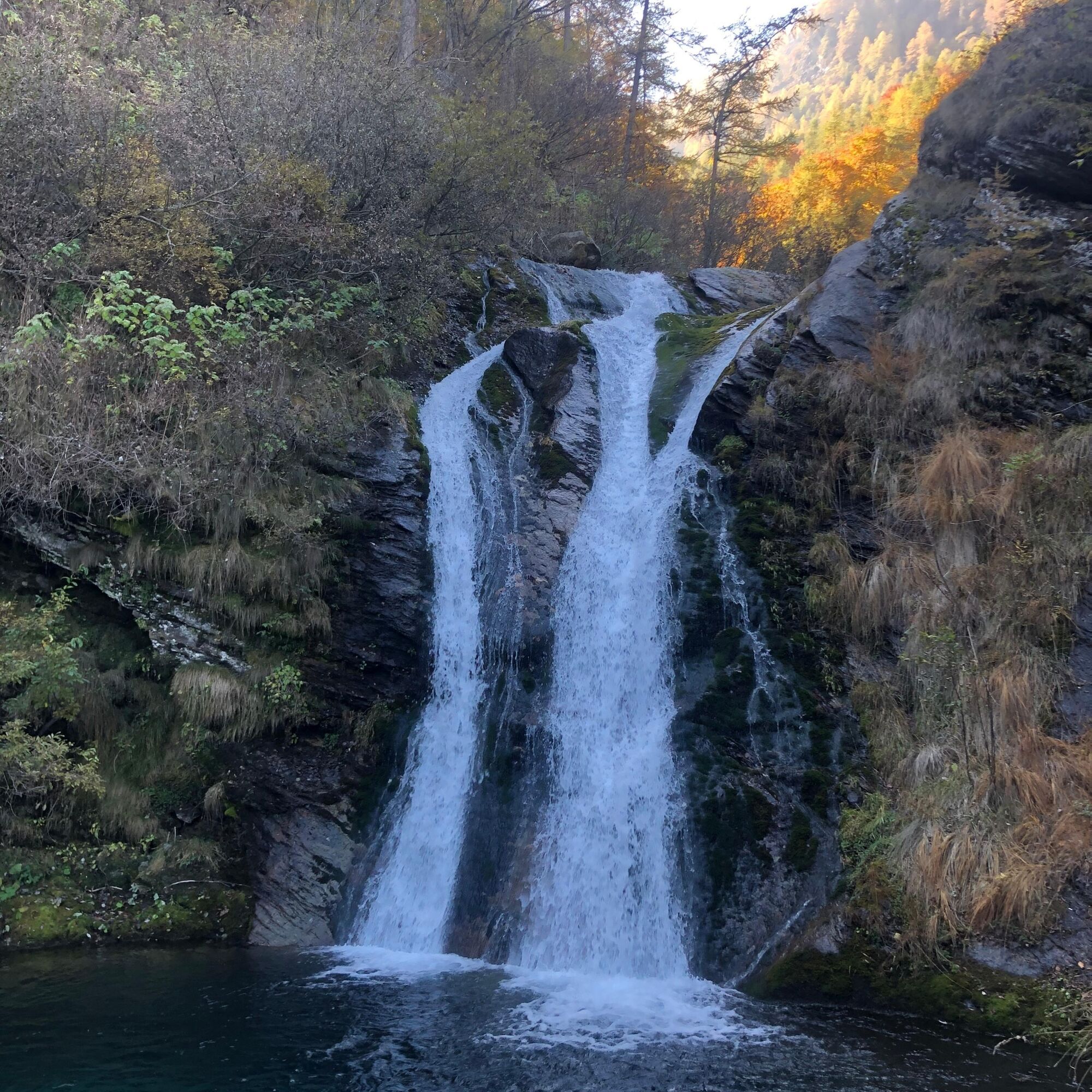
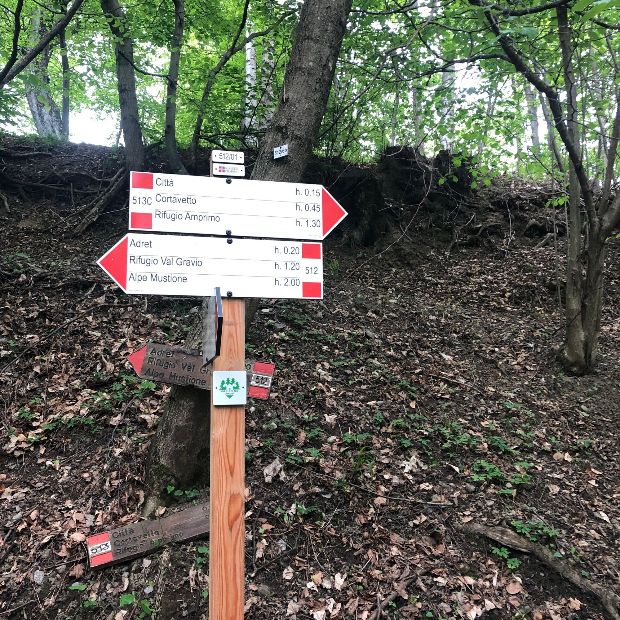
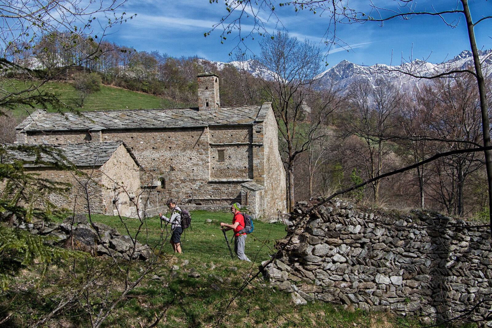

Trails to follow
522 Geat hut Val Gravio - Alpe Pian Signore - alpine pasture Fumavecchia
524 Fumavecchia mountain pasture - Certosa di Montebenedetto - Adret
512 Adret - crossroads
513c Adret - Cortavetto
Tak
from San Giorio di Susa by car to the hamlet of Adret-
Parking at the Adret hamlet (San Giorio di Susa), follow path 512 to reach the Val Gravio Refuge, the starting point of the fourth stage of the Giro dei 3 rifugi.
T3
It is possible to make a loop of the stage starting from the car park at the Adret hamlet (San Giorio di Susa) and following path 512 to reach the Val Gravio refuge, the starting point of the fourth stage of the Giro dei 3 rifugi.

Popularne wycieczki w okolicy
-
4,5
Rocciamelone partedjo dalla Riposa. Mompantero, Piemont/Italien
średniWędrówka 10,6 km -
USSEGLIO Lake Nero from Lake Malciaussia
światłoWędrówka 4,79 km -
4,7
High Way of the Lanzo Valleys | Stage 6 Tazzetti Refuge - Lake of Malciaussia
średniWędrówka 5,49 km -
5,0
Unspoiled woods and ancient hamlets in Valsangone - Selvaggio Loop - Bagaggera
światłoWędrówka 9,08 km -
PRAGELATO Lake Laux
światłoMountainbike 21,2 km -
FENESTRELLE MTB to Selleries Refuge
średniJazda na rowerze 16,0 km -
Le Strade dei Forti
ciężkiTrasa pielgrzymki 227,2 km -
USSEGLIO Margone - Malciaussia loop via Lake Falin and the tracciolino
średniWędrówka 13,1 km -
4,0
The Giro dell'Orsiera G.O. Trail Stage 1: Molè - Rifugio Balma
średniWędrówka 4,52 km -
Le Strade dei Forti - stage 7 from Fenestrelle to Pian dell'Alpe
średniTrasa pielgrzymki 11,5 km
Wędrówki i tropienie


Nie przegap ofert i inspiracji na następne wakacje
Twój adres e-mail została dodana do listy mailingowej.





